dartmouth to torcross

south west coast path

wednesday, 14th september 2016

After yesterday's thundery weather it looks like today will be a lovely day for walking. Perfect autumnal weather.

Dartmouth low tide 10:36

Dartmouth high tide 17:11

I start the day just above the bank of the River Dart over the river from Dartmouth and head down the road to catch the Higher Ferry (I was robbed of 60p for the crossing!) over to Dartmouth. Dartmouth is shrouded in mist as I cross over the river.

dartmouth from the ferry

misty dartmouth

I depart from the ferry and pass the Floating Bridge Inn and amble along the waterfront into Dartmouth..

I continue ambling through Dartmouth before walking along the cobbled waterfront, passing Bayards Cove Inn and then through Bayards Cove Fort, a small Tudor artillery fort guarding Dartmouth's inner harbour. I climb steps to leave the waterfront and head through Warfleet Creek and towards St Petrox Church.

From here I head next door to Dartmouth Castle which, for over 600 years, has guarded the narrow entrance to the Dart estuary.

I pass above Castle Cove where dogs are being exercised. It looks rather inviting down on the sandy and shingly beach but my path heads upwards.

castle cove

I climb steeply and then the path zig zags out towards Blackstone Point, Coombe Point and then Warren Point. I have some final lovely views back to Dartmouth.

view back to dartmouth

I also now have fantastic views over to my destination for the day, Slapton Sands and Torcross.

destination slapton sands

I pass secluded coves on the way, there are numerous dogwalkers and the skies are full of housemartins, before I head inland to reach a minor road at Little Dartmouth.

I come across a small copper butterfly feeding on an oxeye daisy. Not my greatest ever photograph I've taken but it's only the third small copper I've seen this year. It hasn't been a great year for butterflies.

small copper butterfly

The hydrangeas in the lanes around here are looking lovely.

I come across walkers enjoying the early morning sun including one person in a David Bowie t-shirt. I come across clumps of ivy heaving with bees, wasps, flies and red admiral butterflies.

This road leads to the A379 which takes me in to Stoke Fleming. I barely stay on the A379 before heading up Ravensbourne Lane and then Venn Lane where I come across what must practically be the whole village playing boules. How have I magically managed to cross the English Channel and ended up in France?

I walk down lanes through the village, surrounded by rooks, and come out next to the Green Dragon and St Peter's Church.

the green dragon

I can't find any coast path signs so wrongly follow the A379 out of Stoke Fleming. I know I've gone wrong because further on down the road I come across a coast path sign pointing back to Stoke Fleming above the road. 

I continue along the road where I have lovely views over Blackpool Sands before the path ducks down between bushes and past the toilet block and out on to the beach.

view over blackpool sands

I have a potter around the sandy and shingly beach and there are quite a few people on the beach enjoying the beautiful weather. I wander back to the Venus Beach Cafe where I go in search of an ice lolly as I'm starting to get quite hot. They must be running supplies down for the winter as they don't have much choice so I settle for a strawberry mini milk. It doesn't last long!

blackpool sands

I leave Blackpool Sands via a lovely woodland path but when I leave the woods I find that conditions are sudden overcast. Huh?! I cross a steep grassy valley and have some lovely views one last time back over Blackpool Sands.

view back over Blackpool Sands

A rather circuitous route follows fields and paths to reach Strete where I pass the King's Arms (@KingsArmsStrete). As I recall, the pub was closed and to let the last time I came this way, but it is now renovated, run by locals and looking lovely.

the king's arms

I follow the A379 out of Strete but it's not long before I come across a new section of the South West Coast Path, only opened in July 2015, which takes me away from the busy main road. It's rather nice on this new section and I come across a pair of jays straight away.

The path takes me down towards Strete Gate picnic site and I pass a bench with magnificent views over Slapton Sands. The bench is dedicated to the memory of Philip and Mary Carter. Thank you Philip and Mary.

view over slapton sands

In memory of Philip and Mary Carter. Tireless campaigners for South West Coast Path and founders of the South West Coast Path Association.

I continue descending to Strete Gate and come across a small tortoiseshell butterfly feeding on buddleia.

small tortoiseshell

Even though it is getting quite late in the year, the wild flowers around here are looking lovely.

I pass a sign pointing up the bridleway where I used to come down onto Slapton Sands.

old route

I drop down onto Slapton Sands and trudge along the sandy and shingly beach. It has turned back into a beautiful day. I'm usually defeated by the shingle and blustery winds and head for a path by the main road but conditions are perfect today so I head all the way along the beach to Torcross. Actually, the beach isn't as shingly as I remember it.

slapton sands

Today's walking is over and I'm rather hot so I head to the Start Bay Inn (@StartBayInn) where I enjoy a yummy pint of Otter Brewery's Otter Ale. What a perfect end to a perfect day.

otter ale

We drive back to Dartmouth for some chips by the river with a beautiful view over to Kingswear.

view over to kingswear

beach collection

FLORA AND FAUNA

Flora and fauna encountered on the walk today includes :-

  • hydrangeas
  • pigeons
  • housemartins
  • great tits
  • buzzards
  • small copper butterfly
  • ox eye daisies
  • fuchsias
  • common toadflax
  • lords and ladies
  • robins
  • ivy
  • wasps
  • bees
  • red admirals
  • rooks
  • larches
  • holly
  • gunnera
  • red valerian
  • white valerian
  • sweet chestnuts
  • buddleia
  • jays
  • red campion
  • a small tortoiseshell butterfly
  • great mullein
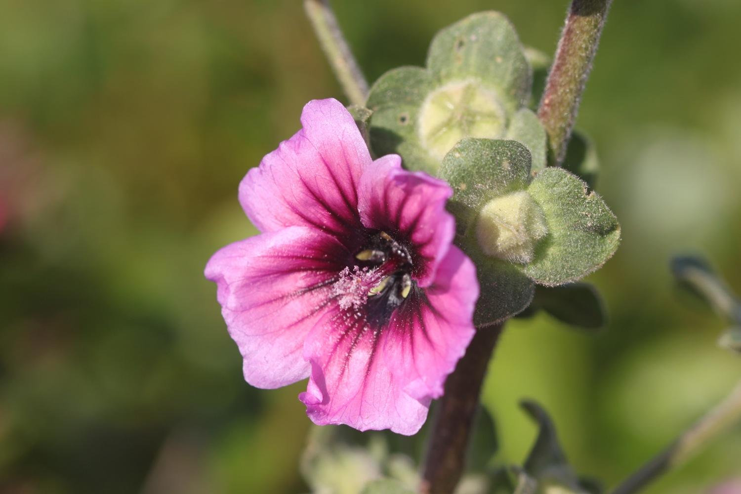
  • musk mallows (I think)
  • perforate st john's-wort
  • common centaury

PODCAST

The podcast of today's walk is now available. You can subscribe via the iTunes store or listen using the player below.

MARKS OUT OF TEN?

According to my phone I've walked 11.4 miles today which amounts to 25011 steps. The weather has been glorious and the walking as good as it gets. I'm in a generous mood. Ten out of ten!

My total ascent today has been 488 metres or 1601 feet.

MAP

dartmouth

red admiral

blackpool sands

slapton sands

teignmouth to exmouth

south west coast path

tuesday, 13th september 2016

My weather app is showing me the oddest forecast I've seen in a while. It seems to think it will be 22 degrees, sunny, thundery, rainy and with very little wind. Make up your mind! I wake up early to find thick fog blanketing South Devon. Who knows what today is going to bring.

Exmouth Dock low tide 10:10

Exmouth Dock high tide 16:39

I start the day back on the beach at Teignmouth. It's fair to say that it's not the most exciting walking today with most of the day spent walking along sea walls or flat paths next to the railway but at least I'll finish the day on the ferry over the Exe estuary to Exmouth and back.

teignmouth

The cliffs to my right are still shrouded in fog but the weather out to sea is starting to brighten up.

I walk along the beach and under Teignmouth Grand Pier (@TeignmouthPier), built in 1865 by an engineering consultant from London called Joseph Wilson. The pier suffered badly in the storms of 2014 and was closed for six months but is now almost fully open again.

teignmouth pier

I head up on to the esplanade before continuing along the beach below Teign Corinthian Yacht Club where I have a decision to make as to which direction to take. The last time I was here the weather was filthy and forced me inland but today the tide is far enough out and so passive as to not cause me any problems so I head up the slipway and along the sea wall next to the railway.

This section of the railway was severely damaged in the storms of 2014 and was shut for two months but has now been reopened after being rebuilt at a cost of £35m.

teignmouth sea wall

It's easy walking along the sea wall and I have the odd runner, walker or dog walker for company before  reaching the beach beneath Shag Rock at Holcombe and from here I pass under the railway and walk up Smugglers Lane to reach the main road at Holcombe Cross.

shag rock

railway at holcombe

I continue along the main road before a rather worn sign points me down Windward Lane and I then follow paths next to fields with fine views over Dawlish and towards Exmouth.

view over dawlish

I pass some fellow coast path walkers heading in the other direction and suddenly there is a burst of thunder followed by several other bursts. We are surrounded by thunderstorms. This does not bode well!  

I climb down steps and then over a footbridge over a stream by the railway before climbing up steps to meet the main road. I turn right and walk along a quiet road which used to be the toll road into Dawlish. It has started raining heavily so I reluctantly don my waterproofs. I head down a path and come across a viewpoint overlooking Dawlish. 

thunderstorms over dawlish

I climb down steps towards the railway line and then head along the footpath next to the road into Dawlish. In Dawlish I head under arches beneath the railway so that I can explore the sandy beach. At least I would have done if it wasn't chucking it down. Instead I shelter under the railway arches with several other people and rearrange my equipment so that it's more waterproof.

dawlish beach in the rain

Coast path signs are non-existent but I head inland slightly behind the railway station and follow a path out of Dawlish signposted a bit too late for the coast path. Some signs here warn me that this path will be closed for 5 days either from the 5th of September or the 15th of September, it's hard to tell they are so rubbish. Either way it shouldn't affect me. Sure enough though I come across fresh tarmac and a blocked path.

The blockage is rubbish though and I can easily get through.

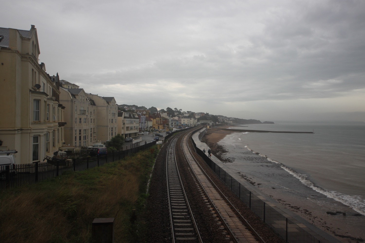
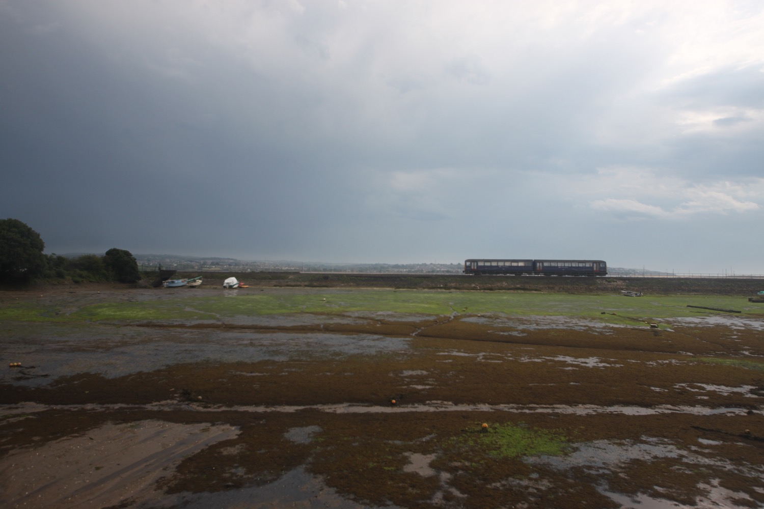
I cross a bridge over the railway and follow the sea wall out of Dawlish. It's now very easy walking on the sea wall parallel to the railway. It's a very uneventfull walk with dog walkers, runners and trains for company. Thunderstorms continue to rage out to sea.

a damp dawlish sea wall

I pass the closed and rather forlorn Red Rock Snack Bar at Langstone Rock and cross a footbridge over the railway and follow a road through Dawlish Warren, passing the many holiday parks.

Trains continue to pass me in either direction along the railway and I now have an uneventful walk along the Exe Estuary Trail. Although thunderstorms surround me it is definitely starting to brighten up so i remove my waterproofs and strap them back on to my bag.

I wander along the trail photographing the flowers and berries although my camera is struggling to focus properly in the damp and dreary conditions.

I round the harbour at Cockwood where trains continue to thunder by and pass the Anchor Inn.

harbour at cockwood

anchor inn

I cross the busy main road and a footway takes me to towards Starcross. Several E-type Jags pass me travelling in the opposite direction. I pass Oak Meadow Golf Club, a boarded up and for sale Starcross garage and then the Galleon Inn. 

galleon inn

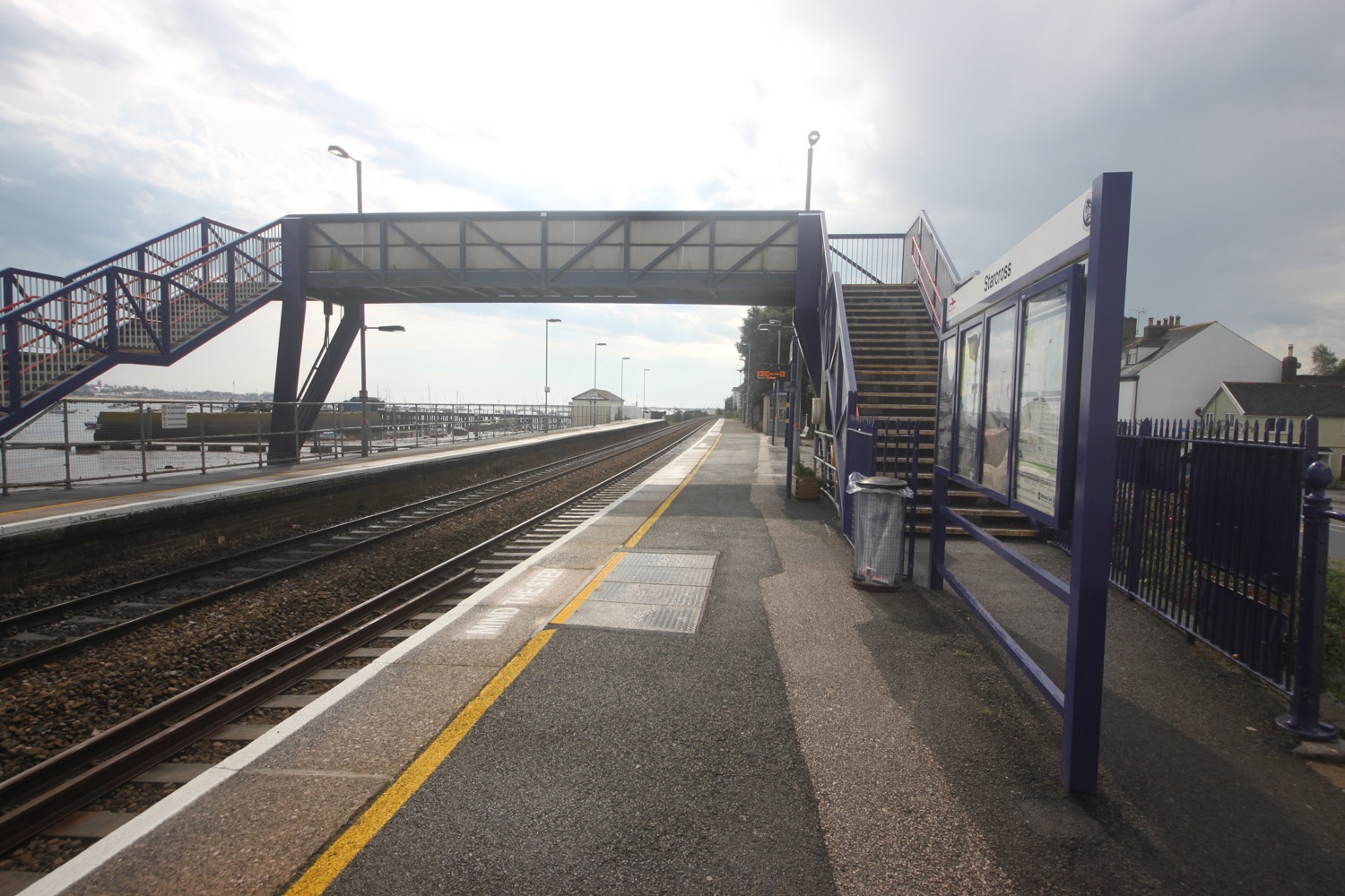
I cross the road and head through the railway station and a footbridge over the railway takes me down to the wooden pier where I can catch the Starcross Ferry over to Exmouth. I've missed the 11:10 ferry by 20 minutes but I'm in plenty of time for the 12:10.

starcross railway station

After a 30 minute wait the ferry arrives and I pay my £5.50 return fair. The journey over to Exmouth takes about 15 minutes and a shower of extremely cold rain passes over the ferry in the middle of the river. I then wander around for a bit before taking the ferry back over to Starcross. The journey over the River Exe and back all seems a bit pointless but I like ferries!

river exe at starcorss

starcross ferry

heading back to starcross on the ferry

It's now time to get my lift back to Marldon. I head up the road, passing the Atmospheric Railway Inn, and head through the car park for the ferry and railway station.

atmospheric railway inn

beach collection

FLORA AND FAUNA

Flora and fauna encountered on the walk today includes :-

  • cyclamen
  • blackberries
  • red campion
  • beeches
  • oaks
  • bull rushes
  • fleabane
  • common knapweed
  • ragwort
  • curlew
  • oystercatchers
  • canada geese
  • red valerian
  • moles
  • little egrets

PODCAST

The podcast of today's walk is now available. You can subscribe via the iTunes store or listen using the player below.

MARKS OUT OF TEN?

According to my phone I've walked a miserly 9.07 miles today which amounts to 19920 steps. It is hard to get a more boring walk than this one on the South West Coast Path and it has been thundery and wet but I've rather enjoyed myself. The ferry across to Exmouth and back has helped as have all of the trains. Nine out of ten!

My total ascent today has been a pathetic 131 metres or 429 feet. The elevation chart looks pathetic!!

MAp

teignmouth pier

teignmouth sea wall

river exe

starcross ferry

marldon to teignmouth via paignton and torquay

south west coast path

sunday, 11TH september 2016

Considering that this year's weather has been rubbish, it looks like I'll have a pleasant day today. It's not going to break any temperature records but I'm not complaining!

Torbay low tide 07:10

Torbay high tide 13:38

I make an early start leaving our cottage at 07:30 and head back down through the two or so miles of the outskirts of Paignton to regain the coast path. It's just after 8 o'clock on a Sunday morning and there are already people drinking beer outside of the pubs. It's WAY too early, even for me!

I head out onto the red sandy beach and amble along the sand, passing the pier and the colourful beach huts. It is a glorious morning.

paignton sands

paignton sands and pier
At the end of the esplanade I find that the tide is in so I head inland a little along a busy road. I walk along the beach at Preston Sands and then pass more colourful beach huts.

preston sands

colourful beach huts on preston sands

At the end of the beach huts I climb up a concrete slope and head across Hollicombe Head, cross a bridge over the railway line and enter Hollicombe Park.

I head along the main road into Torquay, passing Livermead Sands, and then come across some steps that lead down to Corbyn Head Beach where I find more colourful beach huts and a beach cafe.

corbyn head beach

I walk along the sea wall next to Torre Abbey, founded in 1196, which started life as a medieval monastery before its dissolution by Henry VIII. Nowadays it is a museum, art gallery and Ancient Scheduled Monument, before heading down onto Torre Abbey Sands. Did I mention that it is a glorious day?

glorious day

I reach Torquay Harbour on the north shore of Tor Bay, which although now given over to marine leisure activities, still remains a commercial and busy little port.

torquay harbour and pier

I stop off in a park with a fountain under the shadow of the English Riviera Wheel.

fountain

english riviera wheel

I wander around the harbour and then head up Beacon Hill next to Living Coasts zoo and aquarium to reach the Imperial Hotel. I always seem to get lost in this suburban section of Torquay but today I'm going to follow the coast path perfectly.

Nope, I'm not! I go wrong straight away and head along the road instead of turning off somewhere. Who knows where. I didn't see any signs. I turn right into Daddyhole Road and regain the coast path at Daddyhole Plain, a limestone plateau 75 metres above the sea. I climb down steps, follow a tarmac path which takes me down to a road bend and climb down more steps to reach a beach cafe below the Osborne Hotel. I follow the coastal road above Meadfoot Beach before following a road uphill where a cyclist stops to chat with me about the south west coast path.

overlooking meadfoot beach

I manage to go wrong again and head along the road instead of going out to Thatcher Point. Mysterious footpaths lead out on to the road but I never see any entry points and the signs seem to be non-existant.

I've gone wrong here in the past as there are several footpaths that lead out to the coast but are dead ends due to landslips. This time though I spot a sign on the other side of the road which means I should have come down on the other side of the road along a hidden footpath. This coast path sign is clearly pointing to the right towards Anstey's Cove and along Bishops Walk. I can't possibly go wrong!

I head up the lane and follow a scabby, overgrown path in the wrong direction and which doesn't feel right. It isn't and the path just circles back around and dumps me back out on the road where I've just come from.

I return to puzzle over the sign again and somebody joins me who is also walking to Teignmouth and is as lost as me. I head back down the lane and notice a path to the left which I thought was just an entryway into the houses here but does turn out to be the coast path. I also come across a sign pointing down here which I completely missed first time around. Success!

I follow the woodland path which must be Bishops Walk and after a while come across a post which must be marking the coast path but the signs have fallen off so I've no idea which direction to go. Needless to say I choose the wrong one and have to retrace my steps. I continue along Bishops Walk and come across a car park.

I'm sure I've gone wrong here before but can't remember which route I took. Sure enough I take the wrong route again and head down steps towards Anstey's Cove. The cove turns out to be a dead end due to landslips but there is a cafe down here.

anstey's cove

I retrace my steps and have a sudden feeling of deja vu as I recall retracing my steps here four years ago. I head along the road before coming across a signpost marked 'To Babbacombe & St Marychurch over the downs' where I climb up steps on a wooded slope and I'm now back up on the cliff tops. 

I walk along the grassy cliffs and then across Babbacombe Cricket Club. It is now properly hot so I go in search of an ice lolly.

I suck on my ice lolly while I follow signs to Babbacombe Downs, the highest clifftop promenade in England. I'm sure I've come along Oddicombe Beach at the bottom of the cliffs in the past. Must have gone wrong again! I reach Babbacombe Cliff Railway, built in 1926 to shuttle tourists to and from the beach.

babbacombe cliff railway

I turn right at a coast path sign and follow the road for a bit. I'm completely lost again before following a sign which promises to rejoin the coast path but which takes me along another scabby path and dumps me back out on the road again.

I rejoin the coast path as it continues through woods next to Torquay Golf Club. More coast path signs lead me to the beach access road at Watcombe Beach, surrounded by cliffs and wooded hillsides. A steep path leads down to the beach but I'm getting tired now so I continue through the woods to Maidencombe.

I come across a swallowtail caterpillar.

There's a coast path sign at Maidencombe but it's only pointing in one direction. Back from where I came from. My fellow lost walker joins me to puzzle over the sign! He must be more lost than me as the last time I saw him he was walking faster than me and yet somehow I've managed to overtake him.

I walk through the car park and detour a little to reach the Thatched Tavern at Maidencombe. Guess what! The pub has a thatched roof!!

the thatched tavern

I rejoin the coast path where it turns right before reaching the pub.

I head along a track marked for Shaldon. The path continues through fields and woods close to the cliff top and then ascends and descends several times before reaching the road above Labrador Bay. I have magnificent views back where I've been walking.

magnificent views

I descend steeply down a grassy slope where I have lovely views over Teignmouth and then follow the path alongside Shaldon Approach Golf before I climb down some steps and then follow a track. I climb up into Ness Woodland and then pass the Ness, which has lovely views over Shaldon and Teignmouth.

view over teignmouth

A teeny coastal road takes me to the village of Shaldon. The coast path runs along the busy Shaldon Bridge over the River Teign to Teignmouth but there's also a ferry in front of the Ferry Boat Inn which has been running since the 13th century, so I catch this today which drops me on Teignmouth back beach next to the lifeboat station and costs me £1.50.

shaldon beach

teignmouth lifeboat station

That's my walking done for the day so I turn left in to town and head for the Waitrose car park where my lift back to our cottage awaits. 

beach collection

FLORA AND FAUNA

Flora and fauna encountered on the walk today includes :-

  • sunflowers
  • seagulls
  • buzzards
  • wisteria
  • buddleia
  • red admiral butterflies
  • speckled wood butterflies
  • a small copper butterfly

PODCAST

The podcast of today's walk is now available. You can subscribe via the iTunes store or listen using the player below.

MARKS OUT OF TEN?

According to my phone I've walked 20.1 miles today which amounts to 45344 steps. Ouch again! It has been a lovely day's walking on the South West Coast Path in beautiful weather and I haven't really minded getting continually lost. Nine out of ten!

My total ascent today has been 825 metres or 2706 feet.

MAP

paignton sands

preston sands

anstey's cove

babbacombe cliff railway

dartmouth to marldon via brixham and paignton

SOUTH WEST COAST PATH

saturday, 10TH september 2016

It looks like it will be a filthy start to the day but if I'm patient the weather should improve throughout the day and I should have some decent walking conditions later on.

Paignton high tide 12:15

Paignton low tide 18:33

We start the first day of Autumn coast path walking by taking the car over the River Dart on the Higher Ferry and then drive into Dartmouth and park up. It's a filthy start to the day and chucking it down so I hang around in the car for a bit hoping the rain will ease off. It doesn't so I don my waterproofs and head off.

I head through the lower part of Dartmouth, not particularly enjoying the manky weather.

manky dartmouth

I cross back over the River Dart to Kingswear using the lower ferry which costs me £1.50. On reaching Kingswear I pass under an arch next to the post office and then climb up Alma Steps.

I take one final look back over to Dartmouth and then set off for Brixham.

view over dartmouth from kingswear

I follow a minor road out of the village and then follow a private road towards Kingswear Court. I enter Warren Woods and zig zag down a slope, cross over a stream and then zig zag up the other side of the valley.

I now have lovely views back over to Dartmouth Castle on the other side of the river mouth. At least they would be lovely if it wasn't still raining heavily!

I reach Brownstone Battery at Inner Froward Point, built in 1940 to protect the Dart estuary and Slapton and Blackpool Sands from enemy invasion. The battery consists of two gun positions and each would have been armed with six inch guns. The gun emplacements remain to this day as do the two magazines that served the guns. Below the gun emplacements are two searchlight positions which would have scanned the sea for enemy ships.

brownstone battery

The path zig zags up and down the cliffs towards Outer Froward Point where, out to sea, can be seen Shooter Rock, Shag Stone and Mew Stone. I continue meandering along the coast path passing Old Mill Bay, Kelly's Cove and Pudcombe Cove. On the way I come across some friendly ponies who just stand around blocking the coast path.

friendly ponies

Eventually a fellow walker turns up and barges through the ponies. I follow in his footsteps. 

I come across the rear entrance of Coleton Fishacre which used to be infested with rhododendrons (presumably ponticum) but these appear to have been grubbed up now leaving hydrangeas all around.

The weather is finally brightening up and I can see some bits of blue sky. I come across a sign telling me that Man Sands is two and a quarter miles away.

blue sky! man sands two and a quarter miles away

I come across an apple tree laden with apples and presumably grown from a discarded core before rounding Scabbacombe Head where the skies are now decidedly blue. I pass another pony munching on the bracken.

blue skies over scabbacombe and man sands

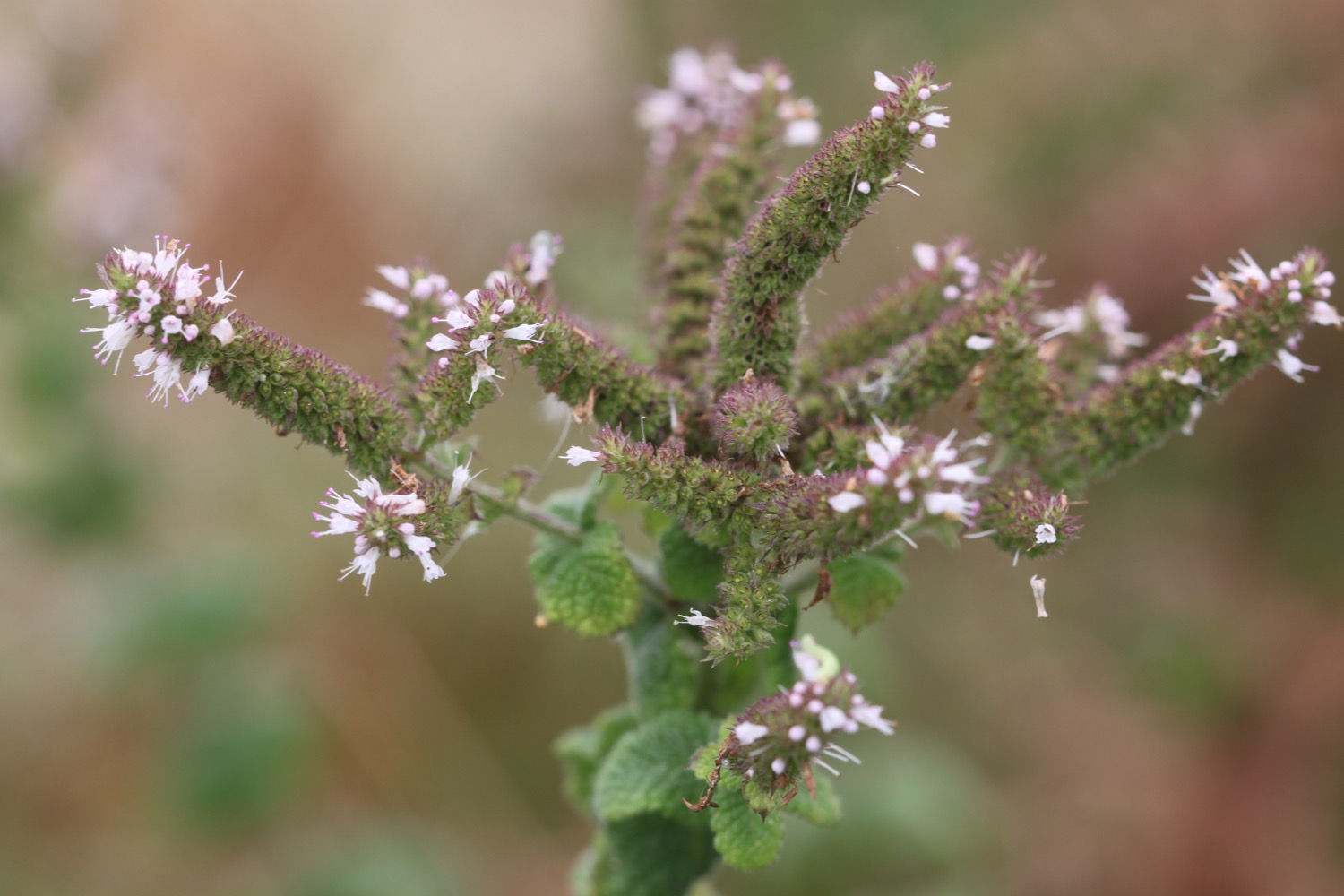
A steep, slippery and muddy descent leads me down to Scabbacombe Sands. The edge of the stream near the top of the beach smells of mint. The beach is deserted.

scabbacombe sands

I head along the cliffs high above Long Sands and round Crabrock Point, passing Crabrock Point Coastguard Cottage, to reach Man Sands where I enjoy the pebbly and sandy beach.  

man sands

It is a steep climb up onto Southdown Cliff where I pass cows making an awful racket.

cow

I reach Sharkham Point and then  head around St Mary's Bay, passing below the holiday village. I head down some scabby steps where the cliffs are infested with japanese knotweed and head out onto St Mary's Bay Beach. There are a few dog walkers on the beach.

st mary's bay beach

japanese knotweed infestation

It is now a short walk to Berry Head, a National Nature Reserve, where I amble along the meandering paths.

I join a road which passes the Berry Head Hotel and walk through Shoalstone Car Park. It is now a pleasant waterfront walk leading me into Brixham where I pass above the art deco Shoalstone Sea Water Pool. A harbourside walk from the breakwater takes me to the centre of the town where a statue of William Prince of Orange, who landed here on the 5th of November 1688,  stands at the head of the harbour.

The Liberties of England and The Protestant Religion I Will Maintain

Brixham is heaving with people on this now pleasant Saturday afternoon, probably not helped by the fact that Fishstock Brixham seafood and music festival is taking place today.

brixham

I go in search of an ice lolly to cool me down and then pass the full sized replica of the Golden Hind in which Sir Francis Drake circumnavigated the globe and then pass Brixham Fish Market, where Fishstock is in full swing,  before heading out of Brixham at Oxen Cove next to what was once AstraZeneca's Brixham Environmental Laboratory but which was donated to Plymouth University in 2013

oxen cove

I climb up concrete steps to reach Battery Gardens and pass the Brixham Battery Heritage Centre. I round Fishcombe Cove and a steep climb out of the cove awaits.

fishcombe cove

I walk around the beach at Churston Cove and a woodland path takes me past Churston Golf Club.

churston cove

I walk across the shingly beach at Elberry Cove, which is surprisingly busy,  before rounding Churston Point to reach the delightful Broadsands, you guessed it, a broad sandy beach flanked by colourful beach huts.

elberry cove

I enjoy the sandy beach here before walking past the colourful beach huts and exit at the far end of the beach, passing beneath the railway viaduct.

colourful beach huts at broadsands

I then follow the railway line towards Goodrington Sands and the Paignton to Kingswear steam train passes me, heading in the opposite direction. I head along the beach at Goodrington Sands, passing the colourful beach huts and head past the Inn on the Quay. The emptying pints on the tables look very inviting.

I follow paths over Roundham Head and walk through Roundham Gardens where I have lovely views back over Goodrington Sands.

view back over goodrington sands

 Paignton is now laid out in front of me.

I pass Paignton's tiny harbour and walk along the esplanade to reach the pier where I head inland in search of a much needed ice lolly. It has been a hot end to the day.

I head along the busy Paignton streets full of amusement arcades and it's now time to finish my walk by heading inland along the busy main road to reach the village of Marldon, on the outskirts of Paignton, where our holiday cottage for the week resides.

Unbelieveably, although I've been climbing up and down cliffs all day long, the long ascent out of Paignton to Marldon proves to be the steepest ascent of the day!

FLORA AND FAUNA

Flora and fauna encountered on the walk today includes :-

  • hydrangeas
  • agapanthus
  • fig trees
  • echiums
  • blackberries
  • gorse
  • bracken
  • buzzards
  • honeysuckle
  • oxeye daisies
  • black sheep
  • mint
  • cows
  • red campion
  • red admiral butterflies
  • speckled wood butterflies
  • a comma butterfly
  • stonechats

PODCAST

The podcast of today's walk is now available. You can subscribe via the iTunes store or listen using the player below.

MARKS OUT OF TEN?

According to my phone I've walked 22.6 miles today which amounts to 50823 steps. Ouch! It has been a lovely day's walking on the South West Coast Path, despite a manky start to the day. Nine out of ten!

My total ascent today has been 1161 metres or 3809 feet.

MAP

brixham

goodrington sands
portwrinkle to plymouth

SOUTH WEST COAST PATH

wednesday, 8TH june 2016

It looks like I'm in for a fourth day of great walking weather with sun forecast for all day long, light winds and it'll probably be a hot day yet again. What's not to like?!
Fowey high tide 08:46

Fowey low tide 15:00

I've no idea why Plymouth isn't showing up in my tide times app.

I start the day back in the village of Portwrinkle where there are some lovely flowerbeds so I take a few photographs.

poppy over portwrinkle

Before I set off I wander down the slipway and on to Finnygook Beach where I enjoy the deserted, sandy beach.

finnygook beach

It's time to set off so I head along the road to leave Portwrinkle and then head onto the coast path which goes past the Whitsand Bay Hotel, and wends its way across the Whitsand Bay Golf Club and towards Tregantle Fort. Skylarks are already singing their hearts out.
whitsand bay golf club

I thought it was supposed to be firing day today but there aren't any flying flags and the gate heading into Tregantle Fort isn't locked so I go through the gate and follow the coast path signs through the fort.

tregantle fort

I manage to walk my way all through the fort without getting rained on by shells!

 I've never visited Tregantle Beach before but I'm in no hurry so I divert down to the beach and enjoy the fine sand. Although it's still early there are a couple of other people on the beach enjoying the early morning sun.

tregantle beach

I retrace my steps and an overgrown path continues next to the road to Sharrow Point and then up towards the holiday cabins at Freathy and Whitsand Bay Holiday Park. The path used to follow a circuitous route through the cabins clinging to the cliff but a permanent diversion seems to be in place along the road at the top of the cliff.

Whitsand Bay Beach, a series of beaches stretching to around four miles, can be found here but the tide is too far in to see much of the sandy beach today. The views high above the beach are fantastic though, if a little hazy.

hazy view back over freathy

A narrow, fiddly, overgrown path goes up and down through cabins before a better path leads me on to Rame Head.

rame head

The path then circles around Rame Head with a view to St Michael's Chapel on the headland. Also visible is the National Coastwatch Rame Head Station. The coast path is about to change direction and head towards Plymouth so I am about to lose my view back over to Looe, Seaton, Downderry and Portwrinkle.

The path descends to Penlee Point where I pass families of ponies feeding on the vegetation.

mother and child

I pass a sign which tells me all about the wreck of The Coronation in 1691  and an easy path takes me through woods before reaching the village of Cawsand.

cawsand

I head on down to the beach and waste some time enjoying the sand and shingle.

It is proper hot now so on leaving the beach I head to the Shop in the Square and grab an orange Fruit Shoot ice lolly which I stick in my side pocket ready for when I leave Kingsand. 

I pass the Cross Keys Inn on The Square at Cawsand and the path leads to the adjoining village of Kingsand, passing the Halfway House Inn. Kingsand has another small sand and shingle beach so I drop down to enjoy it.

kingsand

The Devonport Inn, on The Cleave, can be found a bit further on from the beach but the coast path ducks in behind the beach before the pub is reached. I've missed the sign that points through the village before, but not today! I'm not going to make the mistake of walking past the pub and then failing to find any coast path signs ever again.

I climb up through the village passing The Rising Sun pub.

On leaving Kingsand the path enters the Mount Edgcumbe Country Park.

welcome to mount edgcumbe

I fish my ice lolly out from my pocket and greedily suck on it as I walk along an easy path through the park. I pass rhododendrons and wild flowers as I walk along the path.

A MASSIVE sign points to the left through a gate and I've always gone wrong here in the past which has led to a long and tortuous walk through woodland with an almost complete lack of signs. I concentrate and find a teeny sign immediately pointing to the right which is completely dwarfed by the left pointing sign.

Yes! I've finally got this section of the path correct and an uneventful path leads through woods with enough coast path signs to let me know that I'm going in the right direction.

I leave the woods next to Milton's Temple, which is covered in scaffolding, and next to a pond full of friendly ducks and geese.

family of canada geese

I leave the park to reach the Edgcumbe Arms which is heaving with people and the slipway for the Cremyll ferry. There are Germans everywhere!

edgcumbe arms

The next ferry is at 13:30 so I've just got time to grab a blackcurrant and apple Fruit Shoot ice lolly from a little shop on the edge of the park which gets thirstily devoured

The ferry turns up to take me across to Plymouth and immediately fills up with masses of Germans. The fare is £1.50. Eight minutes later I step off the ferry at Admirals Hard, Stonehouse, having moved over from Cornwall to Devon.

I've never walked through Plymouth before, finding it too big, brash and noisy for my liking and prefer to rejoin the coast path over the other side of the harbour but today I'm going to walk a little bit in to Plymouth.

A sign tells me that Jenny Cliff is 10 miles away. Maybe one day I'll return to Plymouth to do the 10 mile walk through it. I check the train times when I get home but it seems to take forever to get from Bristol to Plymouth so who knows.

I immediately come across a pub called The Vine, the first pub in Devon.

the vine

I wander along Cremyl Street following handily placed coast path signs on lamp posts and have occasional views of the marina. I pass the Victualling Office Tavern (the doors are closed and it's very quiet but it does look like it might be open) and The Butcher's Arms (which looks run down and closed for business) before entering the Royal William Yard.

plymouth marina

It's rather pleasant around here and there are plenty of places to eat and drink. I wander around the yard and climb a staircase designed by Gillespie Yunnie Architects, linking Royal William Yard to the public park above. The staircase is dedicated to the memory of Eric Wallis who was secretary of the South West Coast Path Association for 24 years.

royal william yard

I head off through Devil's Point Park and then take to the streets which lead me towards the centre of Plymouth passing the Royal Marine Barracks on the way.

It's very noisy but I eventually reach Boston Tea Party on Vauxhall Street where my walking for the day, as well as the week, ends. It's now time to catch the park and ride bus back to Home Park where the car awaits to take me back to our holiday cottage.

FLORA AND FAUNA

Flora and fauna encountered on the walk today includes :-

  • sea thrift
  • foxgloves
  • skylarks
  • red campion
  • buttercups
  • small tortoiseshells
  • bracken
  • gorse
  • pheasants
  • swifts
  • chaffinches
  • chiffchaffs
  • birds-foot trefoil
  • goldfinches
  • ponies
  • speckled wood butterflies
  • elderflower
  • sweet chestnuts
  • black caps

PODCAST

The podcast of today's walk is now available. You can subscribe via the iTunes store or listen using the player below.

MARKS OUT OF TEN?

According to my phone I've walked 17.5 miles today which amounts to 37672 steps. It has been a lovely day's walking on the South West Coast Path, has been hot and there have only been light breezes. On top of that, for the fourth day in a row I've avoided being stung by stinging nettles. Eight out of ten!

My total ascent today has been 484.50 metres or 1589 feet.

video

map

poppy over portwrinkle

cawsand

view back over freathy

beach collection