braunton to westward ho!

SOUTH WEST COAST PATH

Sunday, 3rd MAY 2015

Today's weather forecast looks to be on the ropey side again so I'm expecting rain but at least the wind should be lighter than yesterday.

Barnstaple low tide tide 10:55

Barnstaple high tide 18:45

It's a long, long walk today which, on paper, looks a bit on the boring side, walking largely on old railway tracks. But hey! The birds are singing and the wild flowers are looking almost at their best.

I start the day back at the car park at Velator Quay and walk up to the roundabout at Velator on the way in to Braunton. It starts to rain so I put my waterproofs on but it soon stops and they come off again. Mist clings to the hills around Braunton.

velator quay

A sign here points to Barnstaple along a tarmac cycleway and there are plenty of signs around showing that the cycleway used to be a railway.

The Barnstaple to Ilfracombe Railway was built in 1874 by the London and South Western Railway as an extension of a rail network that stretched right back to Waterloo Station in London but closed in 1970. The line between Braunton and Barnstaple was subsequently bought by North Devon District Council and made into a footpath and in the late 1980s was upgraded to a cycleway and is now part of National Cycleway Network number 27.

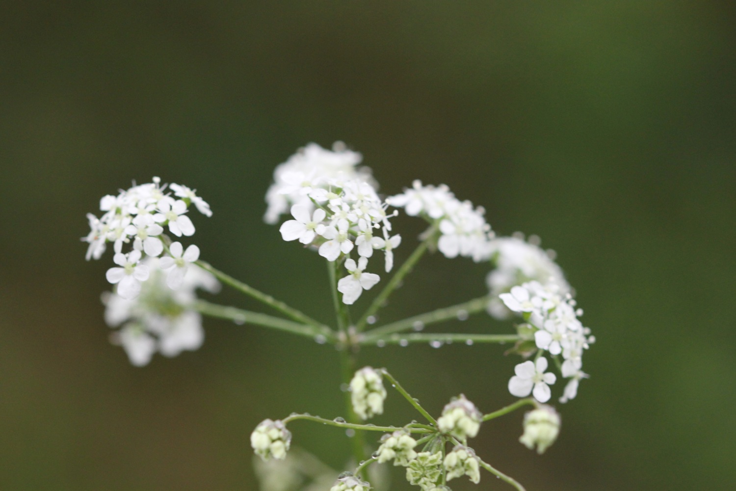
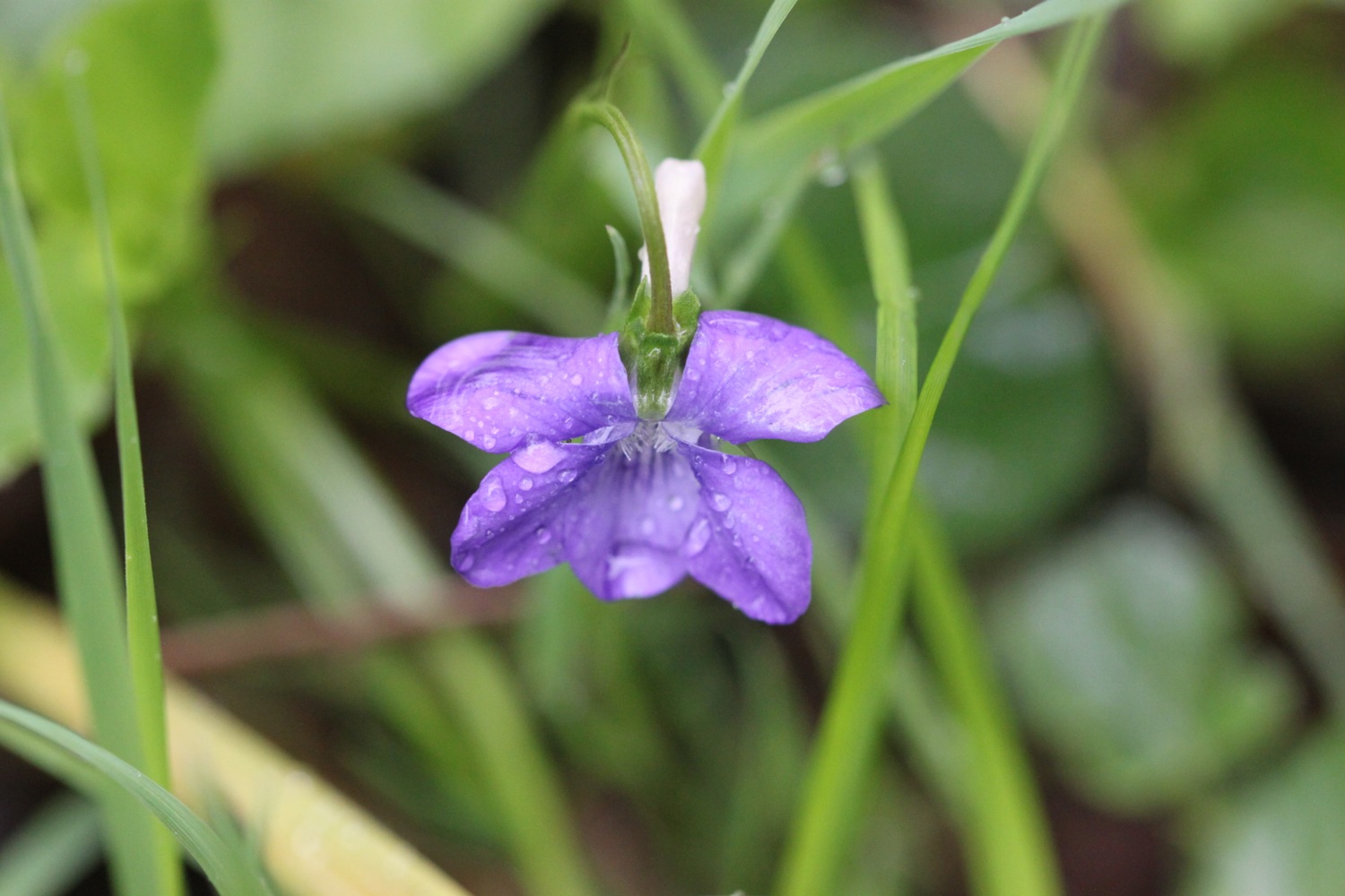
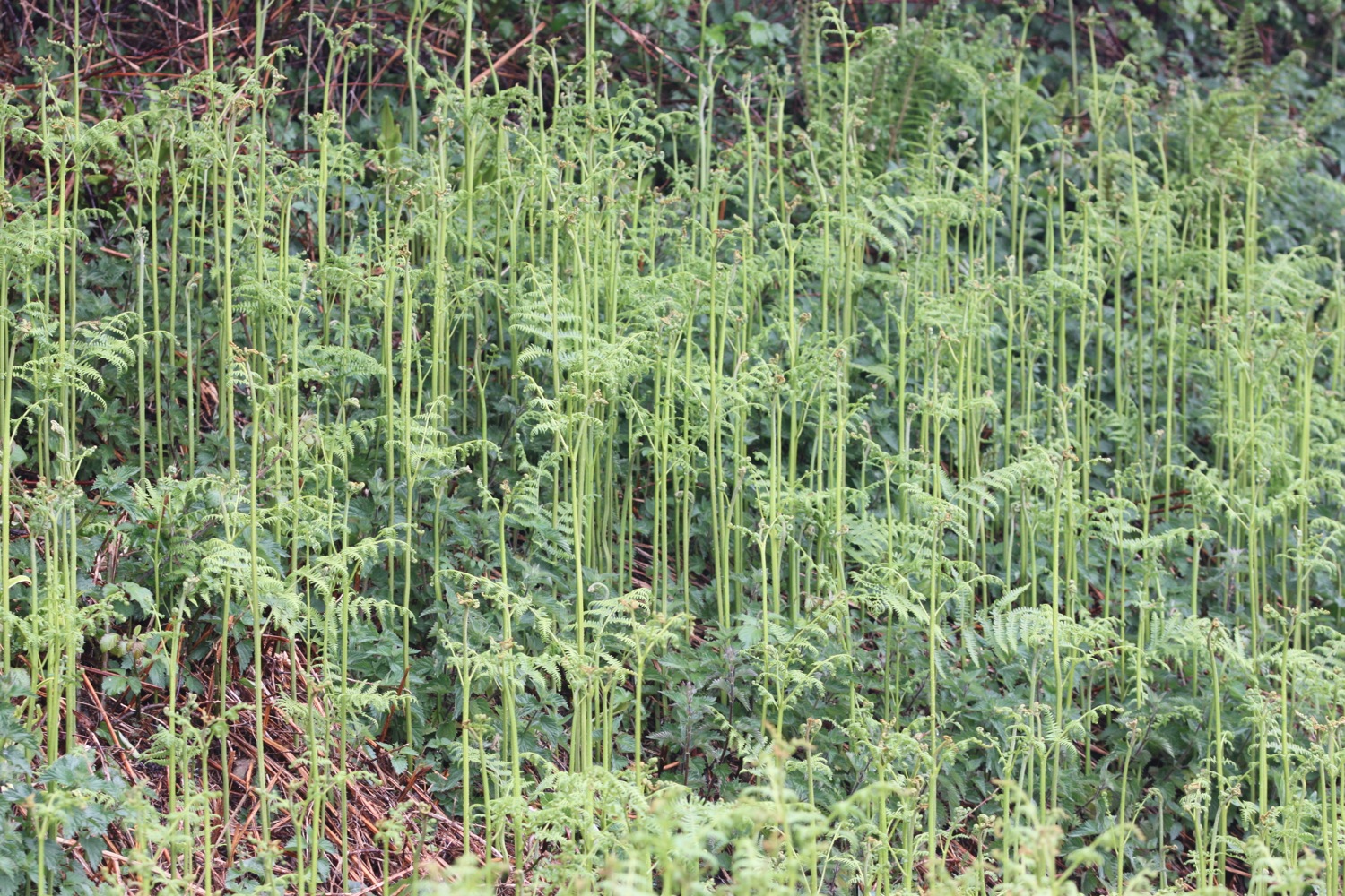
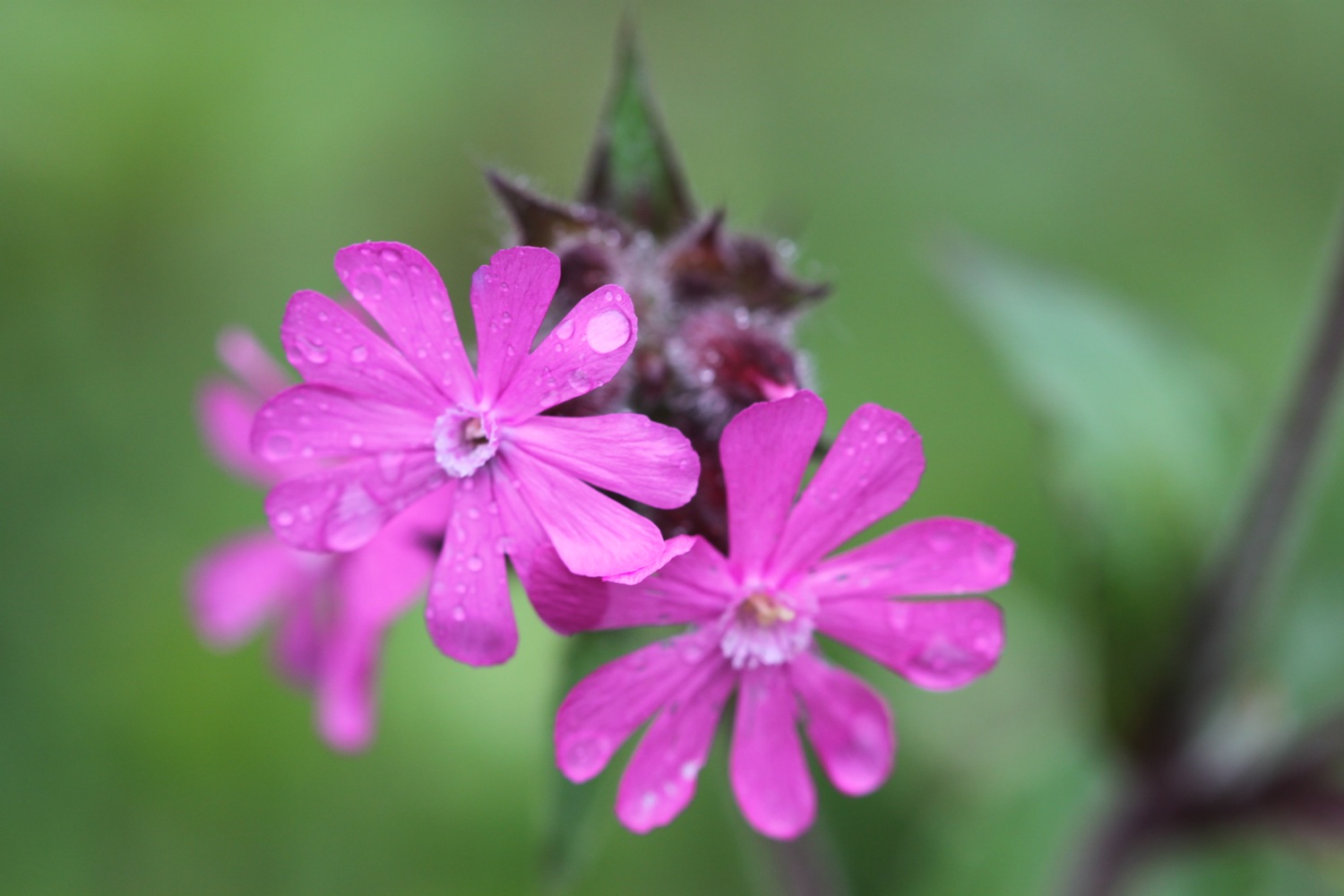
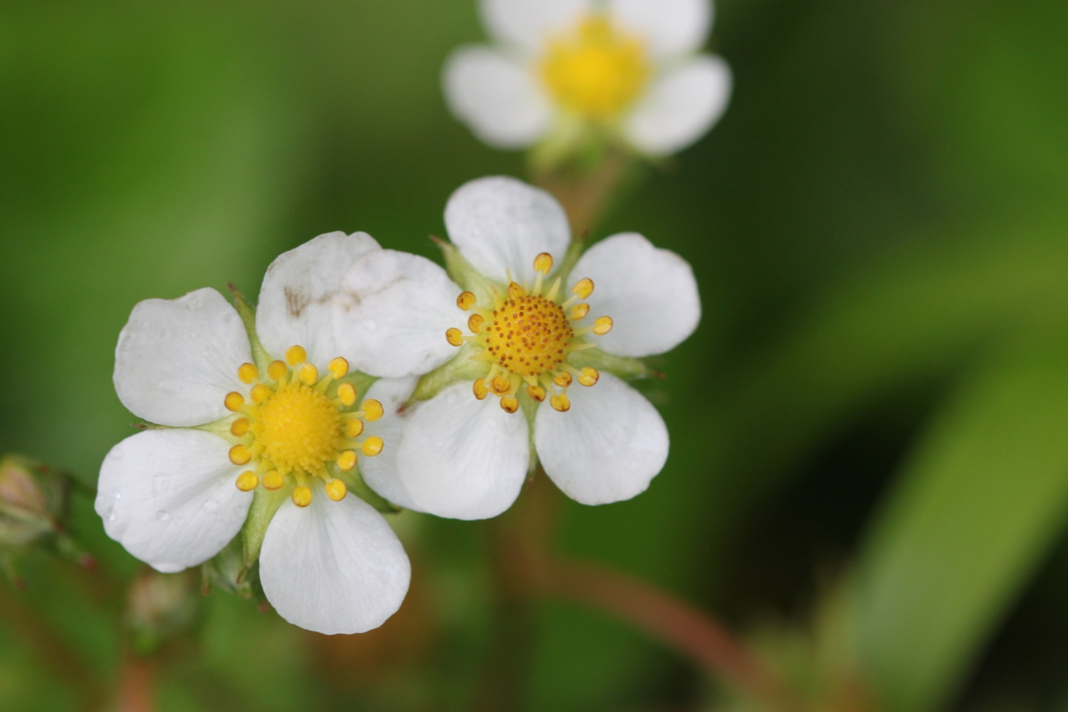
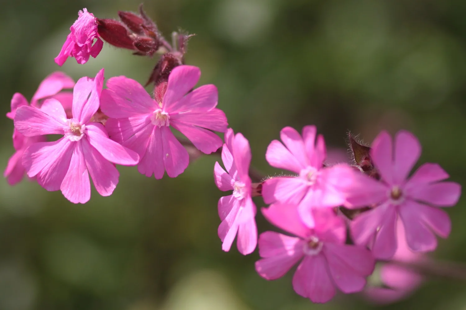
The spring flowers are out in all their glory and I see plenty of cow parsley, ferns, dog-violets, bluebells, primroses, wild strawberries, red campion and buttercups. 
The walking is easy and I pass RMB Chivenor, home to the RAF Search and Rescue Base for the 22nd Squadron.

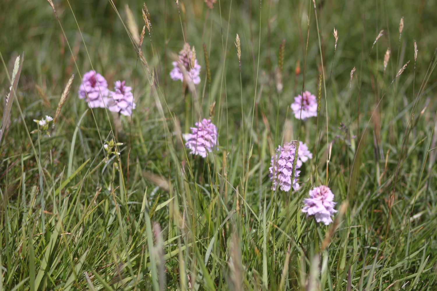
I come across my first orchids of the week, early purple orchids.

early purple orchids

I pass under bridges and the wooded path gives way to views across the River Taw. I have plenty of cyclists and runners for company as I approach Barnstaple.

I come across some 'dalek zone' graffiti on the path but have no idea what it means.

a361

The route continues by an industrial estate and then I walk underneath the Taw Bridge carrying the A361 where I find more 'dalek zone' graffiti. Kids are playing football on the sports grounds next to the bridge.

I cross Yeo Bridge to reach Barnstaple where I walk across the ancient Long Bridge.

yeo bridge

long bridge

I leave Barnstaple behind me via a tarmac path and come across murals by Mel Saggs in the underpasses. 

mural

I join another path along old railway tracks along the south side of the estuary of the River Taw.

The Taw Vale Railway and Dock Company laid the track between Fremington and Barnstaple in 1846 and was originally a goods line operated by horses. The company repackaged itself as the North Devon Railway who then extended the railway through Instow to the original station at Cross Parks at East-the-Water at Bideford. The Bideford Railway Heritage Centre website contains a full history of the railway. 

The path is used by plenty of cyclists, joggers and dog walkers.

The path moves away from the river and goes through an old cutting to reach the old Fremington station which now houses the Fremington Quay Cafe and the Fremington Quay Heritage Centre. Fremington Quay was once a bustling port, importing and exporting goods all around the world.

fremington quay

I cross a bridge over a tidal inlet, where I hear curlews, and continue along the trackbed away from the river where I come across more orchids, although there doesn't seem to be as many as I remember from earlier years. Early purple orchids again.

early purple orchids

boat shelter

Next to Home Farm Marsh is an upturned boat shelter and I then come across the site of the former Yelland Power Station, once a vast, coal fired power station, built in 1955 and now a dump!

yelland power station

yelland power station

I visit the North Devon Cricket Club (@instowcricket) which I've somehow missed on previous visits as it's tucked away behind the path. The thatched pavilion is a grade 2 listed building dating back to the late 1700s..

north devon cricket club

thatched pavilion

I follow the cutting in towards Instow where there's a lovely display of bluebells. I pass through a tunnel and pass a micro-orchard containing a number of fruit and nut trees.

bluebells by the railway cutting

I've reached Instow. The tide is too low for the Instow to Appledore ferry to be running so I'll have to trudge down the River Torridge to Bideford and head back up the other side to Appledore.

There are more signs of railways at Instow and I pass the preserved Instow signalbox and what used to be Instow station but is now home to the North Devon Yacht Club. Next to the signal box is Instow in Bloom's signal box meadow. The meadow contains 'Seat for Four Sleepers', designed and made by Hartland based artist Paul Anderson.

seat for four sleepers

I trudge along the railway trackbed between the Torridge estuary and the road, disturbing more curlews at one point. The wind has picked up and is blowing heavily. I go underneath the bridge of the A39 before reaching the village of East-the-Water where I find the preserved station and signal box, which includes The Railway Carriage Visitor Centre and a restaurant in a restored carriage.

bideford station

I walk over Long Bridge to reach the town of Bideford. I walk along the quay through Bideford and pass a statue of Charles Kingsley, before walking along a gravel lane to pass under the A39 bridge again.

long bridge

charles kingsley

A fiddly path heads towards Appledore but it is well signposted and the sun has suddenly come out. I pass through Burrough Farm, owned by the National Trust and I'm now in ship building territory. I pass the massive Appledore Shipbuilders to reach the village of Appledore.

appledore

the view from appledore waterfront

I walk along the waterfront and pass the parish church of Saint Mary's.

saint mary's

saint mary's

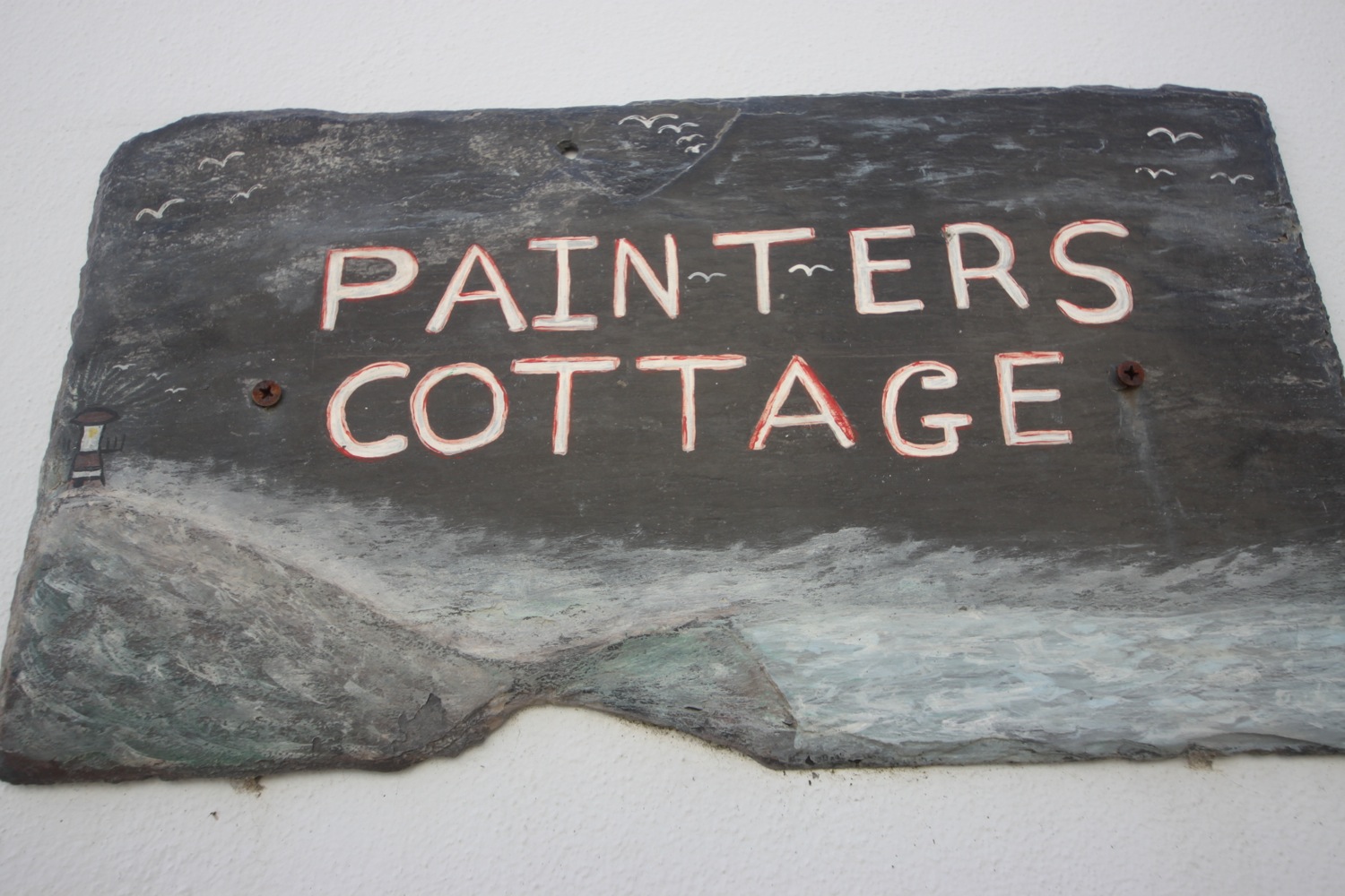
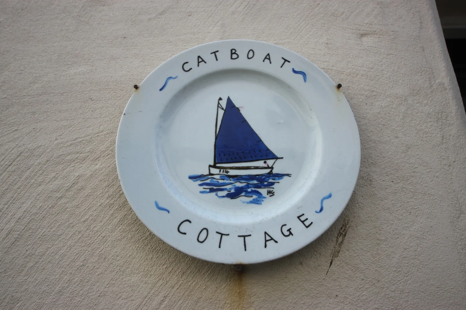
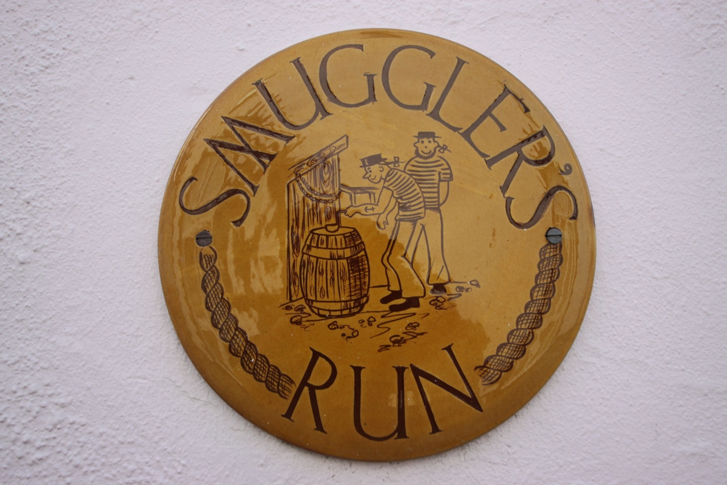
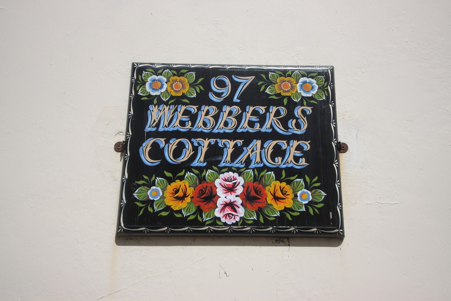
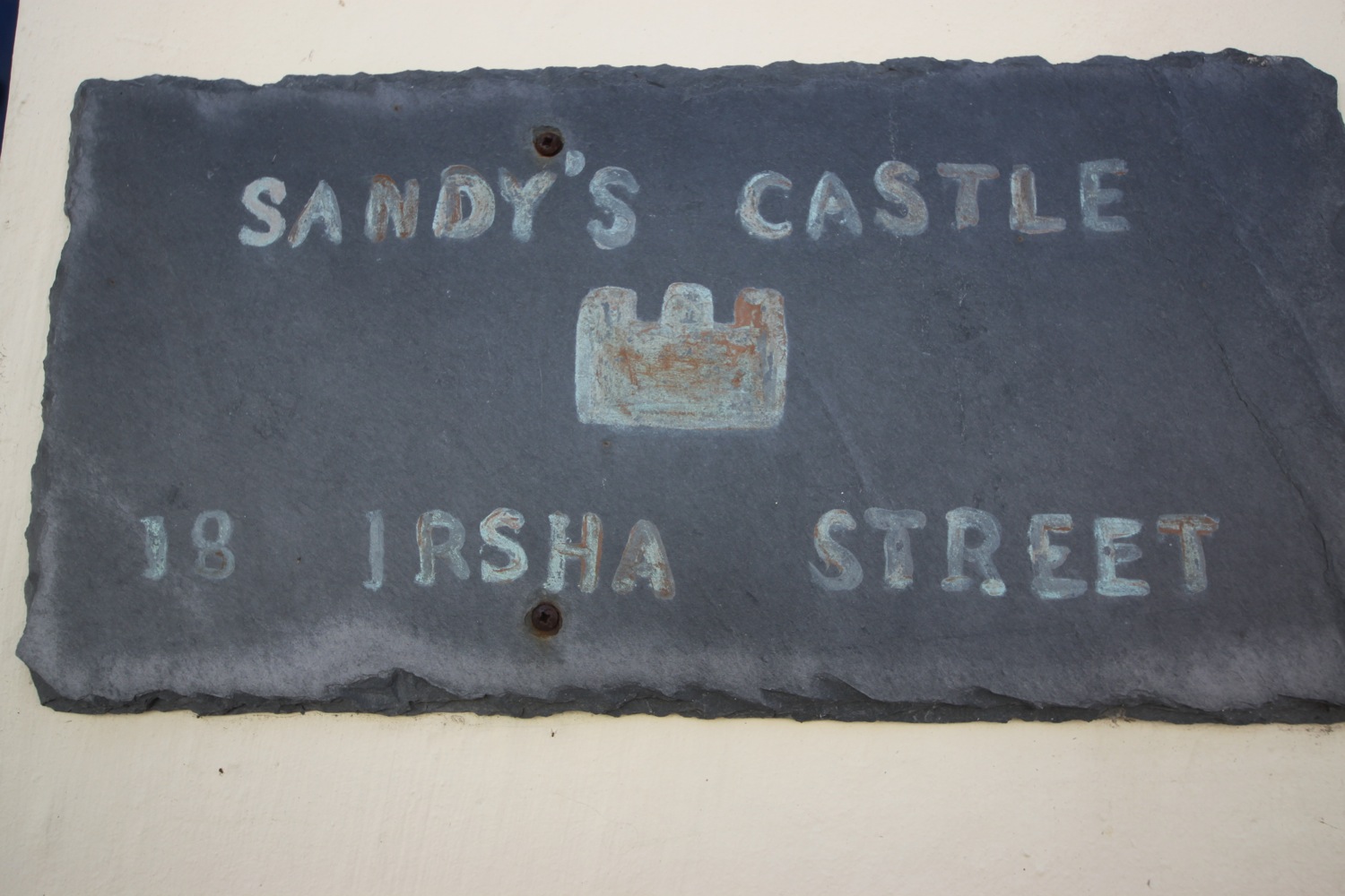
I reach the older part of Appledore at Irsha Street where I pass the Beaver Inn (@TheBeaverInn). The houses are crammed in here and I take some photos of the house signs.
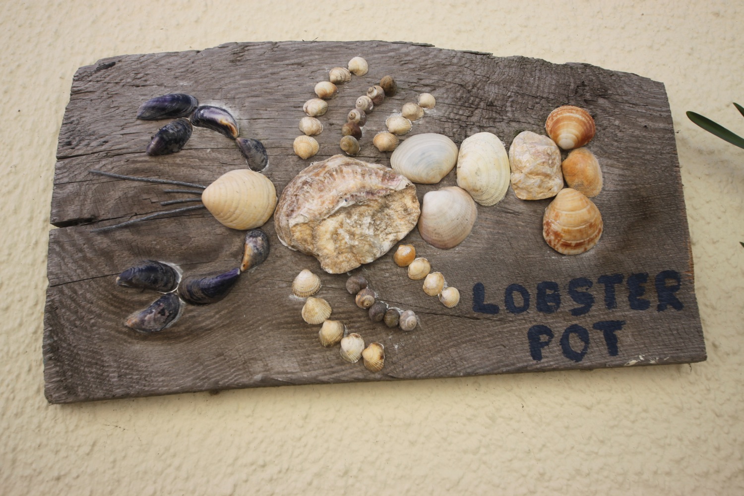
irsha street

irsha street

the beaver inn

The Royal George is close to the Beaver Inn but is shut and looking a bit run down. Offers over £300000 anyone?

I pass in front of the lifeboat station but the coast path just past here has been undercut by the storms of 2014 and so I'm diverted onto Torridge Road which leads to Northam Burrows Country Park

appledore lifeboat station

I walk along the grassy banks of the park, where skylarks are singing but it's too windy to do any recording, before climbing over the pebbly ridge to drop down onto the sand exposed at low tide.

northam burrows country park

It's a pleasant, if very windy, walk along the sandy beach and it is definitely kitesurfing weather. to reach Westward Ho! I watch the kitesurfers before coming ashore at the slipway by the amusement arcade.

westward ho! beach

It has been quite a trek even if the walking has been easy.

FLORA AND FAUNA

Flora and fauna encountered on the walk today includes :-

  • little egrets
  • canada geese
  • primroses
  • wrens
  • thrushes
  • robins
  • great tits
  • ferns
  • orchids
  • skylarks
  • wild strawberries
  • oaks
  • chaffinches
  • chiff chaffs
  • pheasants
  • bluebells
  • rabbits
  • sheep
  • swallows
  • bird's-foot-trefoil
  • apple blossom
  • oystercatchers
  • greenfinches
  • curlews
  • wagtails
  • ox eye daisies
  • orange tip butterflies
  • navelwort
  • flag irises
  • speckled wood butterflies
  • peacock butterflies

PODCAST

The podcast of today's walk is now available.  You can subscribe via the iTunes store or listen using the player below.

Braunton to Westward Ho!
630miles

MARKS OUT OF TEN?

According to my phone I've walked 24 miles today which amounts to 49139 steps. It's been a long, long old trek today mostly along metalled paths so the walking has been easy. A lovely day's walk. 8 out of 10.

woolacombe to braunton

south west coast PATH

saturday, 2nd may 2015

Today's weather forecast looks to be on the ropey side and I can expect rain, wind and grey skies. It's not going to be a great day for photographs.

Bideford low tide 12:25

Bideford high tide 18:00

It's been far too long but I'm finally back out on the South West Coast Path after an 11 month gap.

A lot of today's walk will be spent trudging along sandy beaches in manky weather, starting with Woolacombe Sand, followed by Putsborough Sand, then Croyde Sand and finally a three mile trudge along Saunton Sands. It's a hard life but someone has to do the walking!

I start the day at Woolacombe where, except for a few dog walkers and joggers, I have the whole beach to myself, Hang on a sec though! There's no way that wind is just 20mph as predicted. It's blowing a gale!  I strap my hat on and head towards the sea before trudging along the beach for a good two miles.

a dank and dreary woolacombe

footsteps on woolacombe beach

The far end of Woolcaombe Sand leads directly into Putsborough Sand. At the end of the beach I leave the sand behind me and pass the refreshment hut before turning right onto a track over Napps Cliff. The views looking back over Putsborough Sand to Woolacombe are usually amazing but not so much today due to the grey skies.

view back to woolacombe

A grassy path goes through several stiles and onwards towards Baggy Point and there are signs of sheep with wool caught in the gorse and pooh everywhere. I hear the sheep but never actually see them. The path becomes a lot rockier around Baggy Point before heading back in the opposite direction towards Croyde Bay where it's difficult to stay upright in the strong wind.

baggy point

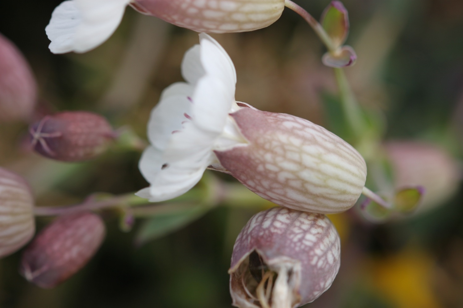
I pass wild flowers on the way to Croyde including bladder campion, gorse and sea thrift.

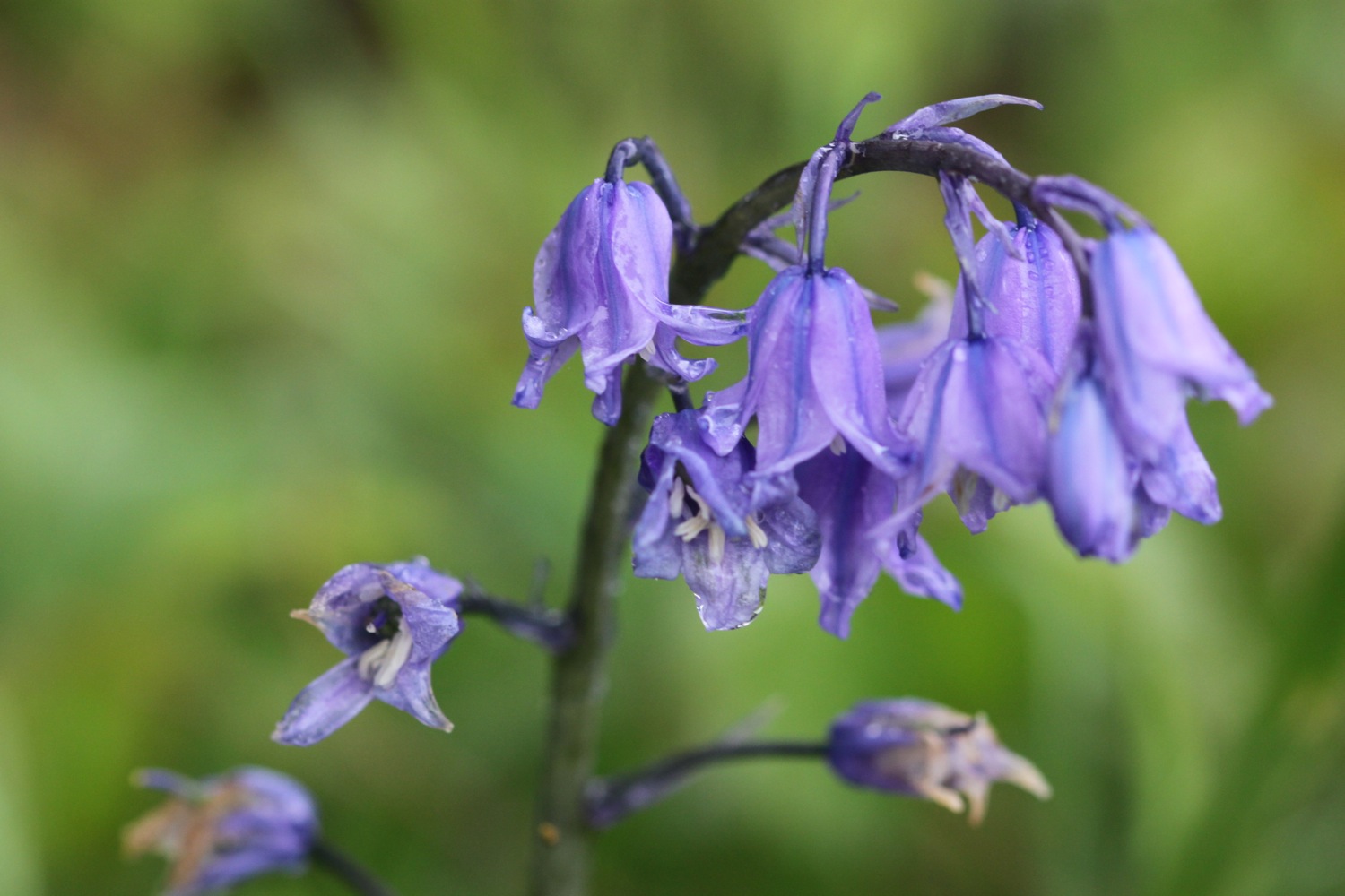
I pass a restored pond, built by the Hyde family who were keen conservationists and come across red campion and bluebells. The bluebells look suspiciously like spanish bluebells rather than our more delicate native bluebells.

bluebells

whale bones

The path passes a preserved whalebone of a large whale that was washed up on Croyde beach in 1915.  They were preserved by the Hyde family who gave Baggy Point to the National Trust in May 1939.

The path joins the road around Croyde Bay but I duck down on to Croyde Sand as soon as I can and head across the sandy beach. It's extremely windy. Although it's still early it's quite busy and there are plenty of surfers enjoying the waves here as well as a load of people playing rugby.

croyde beach

At the far end of the beach I climb a flight of steps and head along the coast before having to walk along the road and then cross the road to follow a grassy path above the road.

I now have lovely, but grey, views overlooking the large expanse of Saunton Sands before climbing down to the road at the Saunton Sands Hotel.

view over saunton sands

I usually get lost here but this time manage to find the path behind the hotel which even has a coast path sign I haven't noticed before. The path passes a tennis court, adventure playground and putting greens before dropping down to the beach cafe and car park. The official coast path heads inland and across a golf course which is crazy when there are three miles of sandy beach ahead. I flip a coin and the beach wins! 

There are colourful beach huts at the start of Saunton Sands which look shabbier than I remember them. 

colourful beach huts

It is quite busy but I soon leave the crowds behind wandering down miles to the sea and then walking along the vast beach. 

saunton sands

Braunton Burrows lies behind the beach and it is well worth an exploration if you have the time. Braunton Burrows and the surrounding coastline were declared Britain's first UNESCO Biosphere Reserve in November 2002. I might try and come back later in the week.

As the beach approaches the estuary of the rivers Taw and Torridge it changes direction. Blimey! It's now blowing an almighty gale causing the sand to drift across the beach. I don't quite know how Braunton Burrows manages to survive in this wind.

At the end of Saunton Sands i rejoin the official coast path and from here it's a boring walk towards Braunton. I follow an embankment around Horsey Island, built in 1857 to reclaim the marshland. It stinks around here but the skylarks don't seem to mind. The embankment continues inland along the River Caen.

horsey island

I reach Velator Quay, a rather stinky dump and my destination for the day! Velator Quay was built in 1853 as part of the marsh reclamation scheme and was a bustling little port until the railway arrived in 1874. There are plans to turn Velator Quay into a recreation area but I didn't notice any of the work having started yet.

valator quay

Tomorrow I will return here and start to see some of the evidence of railways on the long walk to Westward Ho!

FLORA AND FAUNA

Flora and fauna encountered on the walk today includes :-

  • skylarks
  • swallows
  • sheep
  • cows
  • red campion
  • bladder campion
  • sea thrift
  • gorse
  • bluebells
  • dog-violets

PODCAST

Unfortunately, there's no podcast available for this walk. My recording equipment failed to stand up to the blustery conditions. You can subscribe via the iTunes store to the other podcasts.

MARKS OUT OF TEN?

According to my phone I've walked 15 miles today which amounts to 32832 steps. It's been a blustery - did I mention the wind? - and grey day today but the rain has somehow managed to stay away. Despite the stinky end to the walk it has been a thoroughly enjoyable day. 8 out of 10.
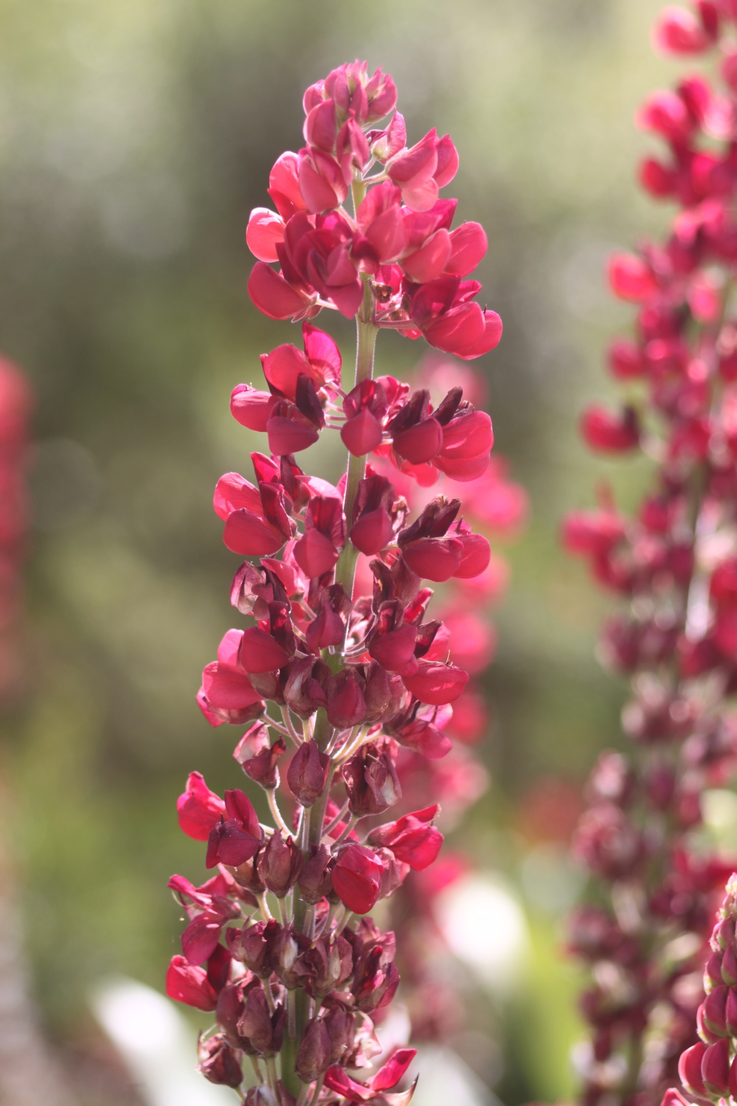
bladder campion

porthallow to falmouth

south west coast path

11th june 2014

Today's weather forecast looks to be fantastic again, with sun forecast all day long and warm temperatures. Woop!

Falmouth high tide 16:39

Falmouth low tide 10:54

I start the day back at the Five Pilchards Inn in Porthallow where I walk along the back of the beach and then climb some concrete steps before battling with the jungle like vegetation.

porthallow

The flowers around here are amazing and there are bees and butterflies fluttering around everywhere. I enjoy the views back to Porthallow. A cliff top walk leads me to Nare Head where I can now see the Helford estuary which will be my companion for the rest of the day.

view back to porthallow

I walk along Trewarnevas Cliff but the views are mostly obscured by trees and the paths are fiddly and overgrown. There are deserted beaches here and I enjoy Men-aver beach all to myself before dropping down to the shore of Gillan Creek at Gillan Harbour.

men-aver beach

I continue to reach Flushing Cove and the coast path continues down steps to the shore where there is a set of stepping stones which allows you to cross the creek at low tide. It's close to low tide but this route is closed due to bank erosion so I continue on the alternative high tide path around Gillan Creek.

flushing cove

eroded bank diversion

The path follows the road although I'm sure it used to cross fields but I fail to see any signs and eventually takes me round to the head of Gillan Creek where I find some nesting swans with a number of cygnets.

I continue on the road but it is only fit for pedestrians as the road has had a serious malfunction and part of it has fallen in to the creek. 

I drop down to the shoreline of Gillan Creek at the other side of the stepping stones and the shoreline leads me to the tiny village of St Anthony-in-Meneage where I explore the grounds of the parish church of St Anthony.

st anthony-in-meneage

I walk along the road past the church and then through a gate and then up through fields. I turn direction and walk along the Helford River with fine views across to the other side. I enjoy the deserted beaches here.

helford river beach

I then enter woods where the views are more fleeting before joining a road which leads into Helford. I walk down to the ford and footbridge and pass the post office shop and the thatched Shipwrights Arms (@ShipwrightsArms) which is looking lovely after its recent-ish renovation.

helford village

shipwrights arms

I walk along a path and climb down some steps to reach the ferry stop only to find out that I've hit the river at precisely low tide so the ferry won't be running for a while. I open the brightly coloured sign to signal for the ferry and munch on some lunch while waiting for the half hour or so until the ferry is able to run again. The weather is indeed AWESOME.

high tide

helford river

The ferry takes me over the Helford River to Helford Passage and the Ferryboat Inn. I potter along the small beach here collecting shells.

helford ferry at helford passage

I walk along a path at the edge of fields before entering woods and then a road at Durgan where I pass the Old School House

durgan beach

The road continues through woods out of Durgan and continues to Bosloe.

I walk below Bosloe House and through the lovely Bosloe Hay Meadows where wildflowers and butterflies abound, especially at this time of year.

Next up are two lovely beaches, Porth Saxon (or Porth Sawsen) and Porthallack which are very familiar as we've stayed in Mawnan Smith the previous two years. I amble around these for a bit. They are deserted except for some sailors.

porth saxon

porthallack

I enter woods near Mawnan and head through the woods to reach Rosemullion Head.

rosemullion head

I pass tall pines, ferns, foxgloves and MASSIVE echiums and explore beaches not marked on my map before reaching Maenporth. The Maenporth beach cafe can be found here and life, is indeed, a beach. At least for this week.

maenporth beach

life's a beach

I amble along Maenporth Beach collecting shells and then, since it's so hot, I grab an ice lolly at the beach cafe. I follow the wooded path that leads to Swanpool (@swanpoolbeach) and enjoy the wild flowers and butterflies. 

I pass Hooked on the Rocks and enjoy the views over Swanpool. I descend on to the busy beach and wander along the beach collecting shells.

swanpool

I climb out of Swanpool, passing the Swanpool Nature Reserve and the brightly coloured beach huts, to reach Gyllyngvase Beach where the Gylly Beach Cafe can be found. The sun has brought out the crowds and the beach is much busier than I am used to. I wander past the people playing beach volleyball and amble along the long, crescent shaped beach before heading for the heart of Falmouth. Above the beach i pass the Shellfish Pig (@theshellfishpig).

gyllyngvase beach

I head through the Princess Pavillion, enjoying the gardens here.

I wander through Falmouth to reach Custom House Quay at the end of the day's walk, along the way passing the Cutty Sark, 5 Degress West, the Quayside Inn, the Shipwrights and Chainlocker and the Front.

falmouth

FLORA AND FAUNA

Flora and fauna encountered on the walk today includes :-

  • wrens
  • chaffinches
  • robins
  • swans
  • masses of bees
  • a painted lady
  • swallows
  • red campion
  • foxgloves
  • cows
  • clover
  • buttercups
  • ribwort plaintain
  • scots pines
  • gunnera
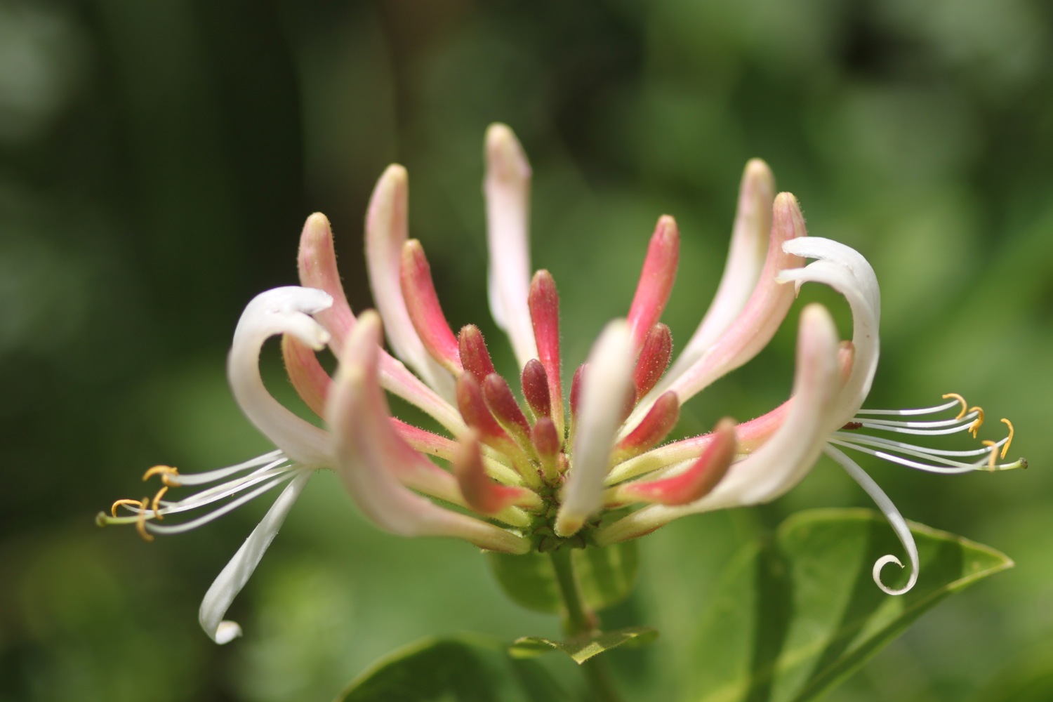
  • honeysuckle
  • skippers
  • primulas
  • geraniums
  • roses

PODCAST

The podcast of today's walk is now available.  You can subscribe via the iTunes store or listen using the player below.

630 Miles Porthallow to Falmouth

MARKS OUT OF TEN?

According to my phone I've walked 18.6 miles today which amounts to 35300 steps. I've had gorgeous sunny weather all day long and walking along the South West Coast Path doesn't get much better than this. 10 out of 10.


View porthallow to falmouth in a larger map

gyllyngvase beach

the lizard to porthallow

south west coast path

10th june 2014

Today's weather forecast looks to be a little cooler today with the possibility of showers which should make for perfect walking weather.

Helford River high tide 15:55

Helford River low tide 09:59

I return to the car park in the Lizard village first thing in the morning and wander down the footpath again towards Lizard Point, still getting the dreaded 'No Signal' on my phone.

lizard point

I retrace my steps and pass in front of the youth hostel and then continue in front of the lighthouse. It's a pleasant morning so I continue ambling around to the Lizard Marconi Wireless Station, the oldest surviving Marconi wireless station.

bass point national coastwatch station

I pass the Bass Point National Coastwatch Station and head towards the Lizard Lifeboat Station which has a shiny, new station at Kilcobben Cove, opened in May 2012. Having said that, it appears to be closed to visitors due to repairs.

I reach a small habitation at Church Cove and head towards Cadgwith, encountering a slow worm on the way. I haven't seen one of these for years, at least not alive!

church cove

slow worm

the view back to lizard point

I head on towards Cadgwith, passing the Devil's Frying Pan, where the collapse of a sea cave has led to the creation of a 100 meter deep hole.

I reach flowery Cadgwith and enjoy the roses and poppies here before wandering down to the beach trying to avoid all of the fishing equipment left clumsily lying around! I amble around the beach before stashing some scallop shells into my bag. Leaving the beach, I pass the Cadgwith Cove Inn (@CadgwithCoveInn) before climbing out of the village in front of a row of cottages overlooking the harbour. Some workmen are clearing a cottage here and their van is blocking the path so I have to scramble over vegetation to get around the van. That's about as exciting as the day gets!

cadgwith harbour

cadgwith cove inn

cadgwith

I continue to Poltesco Cove where a footbridge crosses a wooded river, passing shetland ponies munching on the vegetation.

poltesco

poltesco footbridge

view over poltesco

I continue on towards Kennack Sands, enjoying the views back over Poltesco. I reach Kennack Sands, pass the cafe here and wander down on to the beach to waste a bit of time. It can get popular here but I have the beach to myself at this time of the morning, except for somebody messing around in the rock pools here.

kannack sands

I walk across the beach and climb back up on to the cliffs, enjoying all of the wildflowers and wildlife on the low cliffs. I'm on my own now until I reach Coverack! I walk along easy paths over Eastern Cliff through gorse and heather passing Spernic Cove, Lankidden Cove, Butter Cove and Downas Cove to reach Beagles Point. On the way I come across another red admiral butterfly.

red admiral

downas cove

On Beagles Point I admire the view back to Lizard Point which will soon disappear from view.

view back to lizard point

I climb over the cliffs to reach the old coastguard lookout at Black Head. I turn in a northerly direction and enjoy the flora and fauna here. I come across another group of orchids and there are butterflies fluttering around all over the place.

Easy walking takes me on towards Coverack but before reaching the small fishing village, signs warn me of a steep and rocky descent so I pack my camera away just in case. It turns out to be a thoroughly decent descent and the path is much better than in other places. A shower of rain cools me down here but it barely lasts thirty seconds before the sun is out again. 

I pass the Lifeboat House Restaurant and the Paris Hotel and enter the village of Coverack, passing the small harbour full of fishing boats.

coverack harbour

Coverack is looking lovely on this summer's day. I visit St Peter's, the parish church here where signs warn about leaving wilting flowers in the churchyard and the consequences thereof! It's hot now so I nip into one of the the small stores here to grab an ice lolly.

st peter's

coverack

repairing coverack

I drop down temporarily to the beach, sucking on the lolly and then inspect the damaged sea wall. Coverack, like many of the places around here took a battering in the winter storms and the place still looks a bit of a mess but the sea wall is slowly being repaired.

I admire the sandy beach here one last time before climbing steps next to the damaged sea wall and walk along the road to leave Coverack, passing the Bay Hotel on the way. 

coverack beach

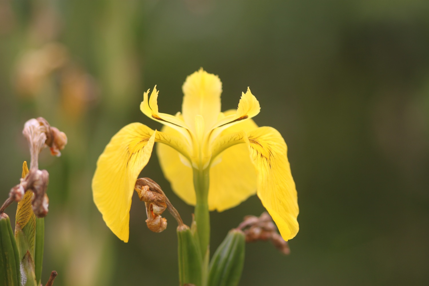
I climb a tarmac road to leave Coverack and then enter a muddy area using granite stepping stones to keep relatively dry and mud free. It always seems to be muddy here! I continue on the path towards Lowland Point passing a herd of cows and then a group of flag irises.

dean quarry

I pass through the abandoned Dean Quarry - at least I think it's abandoned but signs still warn of blasting and continue to reach Godrevy Cove which, as ever, is completely empty. It's not really surprising since it's in the middle of nowhere!

godrevy cove

I amble along the grey, sandy beach, collecting shells and then head inland on a path that seems to be different each time I come here. The path from here to Porthallow would test the Trade Descriptions Act as a coast path as, for much of the time, it's far from the coast. Hopefully, one day this stretch of coast path will be improved.

The path crosses farmland to reach the village of Porthoustock with its shingle beach housing small fishing boats and its still active quarry.

porthoustock

I follow the road to leave Porthoustock and then keep my eyes open for the signs that point to a vague path over fields and then re-joins the road. The path nips down a track behind the road where I pass the Fat Apples Cafe and then re-joins the road again for the short trek into Porthallow.

I pass the Five Pilchards Inn, henceforth known as the Five Pilhars Inn, and wander on the pebbly beach here.

five pilchards inn

FLORA AND FAUNA

Flora and fauna encountered on the walk today includes :-

  • seagulls
  • cormorant
  • foxgloves
  • red campion
  • sea campion
  • snails
  • a fleeting glimpse of a hummingbird hawk moth
  • slow worm
  • roses
  • red admiral
  • flag irises
  • sea thrift
  • nasturtiums
  • common spotted orchids
  • honeysuckle
  • wood spurge
  • shetland ponies
  • poppies
  • gunnera

PODCAST

The podcast of today's walk is now available.  You can subscribe via the iTunes store or listen using the player below.

630 Miles The Lizard to Porthallow

MARKS OUT OF TEN?

According to my phone I've taken 40062 steps today. My phone failed to record my mileage all the way around today but it should be about 15 miles. The walking has been great and although it did threaten to rain briefly, aside from a very brief shower the weather has been warm and sunny. The walk is let down by the last stretch of coast path but, hey ho! 8 out of 10.


View the lizard to porthallow in a larger map

downas cove

the lizard to porthleven

south west coast path

8th june 2014

It looks like good walking weather again with sunshine and plenty of breezes to keep me cool.

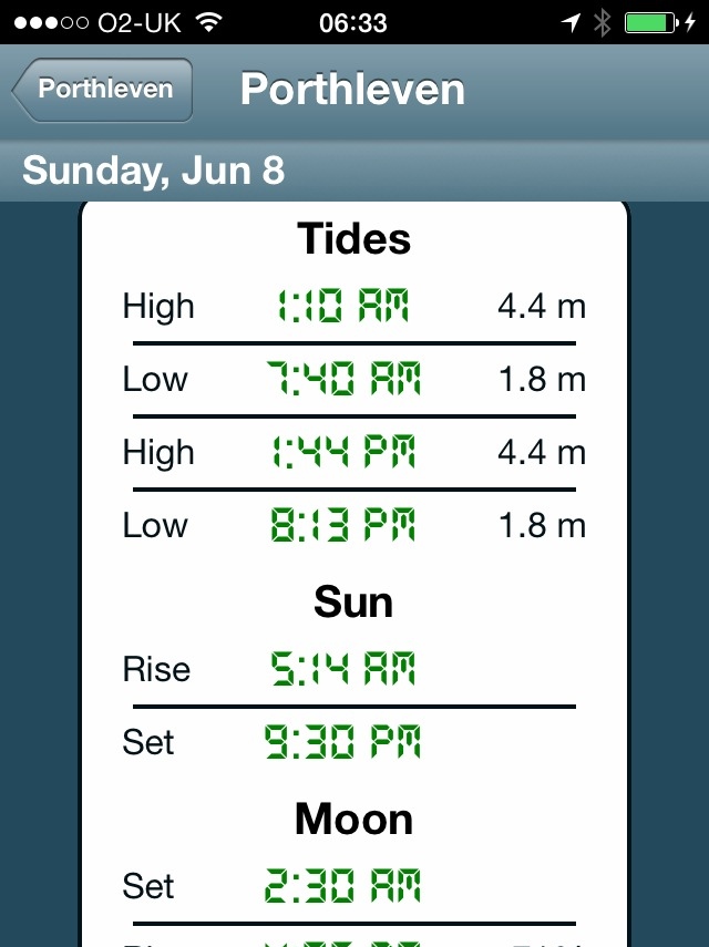
Porthleven high tide 13:44

Porthleven low tide 07:40

Major equipment (or user!) failure today. I don't have a phone signal at the Lizard so I can't start up some of my apps and then part way through today's walk I manage to switch the phone into airplane mode which stops all of the apps from recording any info. Bugger!

I start the day at the car park in the Lizard village. I'm walking this walk to Porthleven in the wrong direction so that when I reach Kynance Cove the sea won't have swallowed up the beach.

old lifeboat station

I wander down the footpath to reach Lizard Point, the most southerly point on mainland Great Britain noticing on the way the dreaded 'no signal' on my phone. Bugger! I wander down to the old lifeboat station  (I'll pass the latest lifeboat station in a couple of days) and then climb back up and head off along the cliffs. Masses of seagulls are flying around here.

seagulls

cornish choughs

Choughs (@cornishchoughs) have taken up residence here. They became extinct in Cornwall in 1973 but returned in 2001. There are seven pairs of Choughs in 2014 and a non breeding flock of immature birds. I see a few of them playing in the air but they are difficult to photograph and it's far too breezy to record them.

looking towards kynance cove

I continue along the cliffs towards Kynance Cove enjoying the magnificent views and the lovely wildflowers. Before reaching Kynance Cove, Pentreath Beach can be found which is a little difficult to reach, involving scrambling down what appears to be little more than a goat track. It definitely looks worth the diversion but it's too adventurous for me with my heavy backpack.

At the top of Kynance Cove I'm greeted by some wooden boards highlighting the local wildlife before descending steeply down to the cove.

Bugger! I must have mis-read the tide times as there is little more than a postage stamp sized bit of the beach! I enjoy walking along what little of the beach I have anyway. I have the whole place to myself. I waste quite a bit of time here before strapping back on my bag and climbing back out of the cove, passing the Kynance Cove Cafe on the way.

kynance cove

kynance cove

bloody cranesbill

As I climb out of Kynance Cove I pass the native bloody cranesbills. The views back overlooking Kynance Cove are magnificent.

view over kynance cove

After ambling for far too long I head off along the Lizard cliffs where I encounter the first orchids of the day, including loads of heath spotted orchids so I waste more time, taking photographs. They seemed to be easier to identify a year ago.

I continue along the cliffs, enjoying the views to reach Predannack. Predannack airfield is nearby and there is usually a constant stream of helicopters flying overhead but it's quiet today. Maybe they don't fly on a Sunday? The wild flowers around here are amazing and there's sea thrift everywhere.

sea thrift

Mullion Cove comes into view and I take the steep descent down to the harbour. Mullion Cove took a battering in the winter storms and the harbour was badly damaged. It's still looking a bit of a mess but at least it's being repaired.

mullion cove

repairing mullion cove

I ascend the other side of Mullion Cove and pass the Mullion Cove Hotel (@mullioncove) before heading along the cliffs to reach sandy Polurrian Cove. I waste more time pottering along the sandy beach before climbing back out of Polurrian Cove and heading along the cliffs.

polurrian cove

marconi monument

I pass the Marconi monument, a granite monument commemorating the first transatlantic radio transmission on the 12th of December 1901. I think that Marconi probably had a better signal 100-odd years ago than I've had today. I continue along the cliffs enjoying the masses of pink sea thrifts.

I reach Poldhu Cove where the Poldhu Beach Cafe (@poldhu) can be found and waste more time on the sandy beach. It's quite a bit busier here than I'm used to.

poldhu cove

I leave Poldhu Cove via the road and encounter more sea thrift before descending down to Church Cove.

church cove

I waste yet more time on the sandy beach here before heading along the beach to reach the church of St Winwaloe, set into the hillside beside the beach.

I continue along Halzephron Cliff enjoying the beautiful wildflowers and Porthleven Sands has now come into view. Halzephron Cove can be found at the end of the cliffs but the climb down is a little adventurous even for me.

wild flowers on halzephron cliff

I continue walking to reach the much more benign Gunwalloe Fishing Cove. I meet some people here who I'll bump into again in Porthleven. I enjoy the sandy and pebbly beach before heading off on the final leg of my journey. The Halzephron Inn (@InnHalzephron) can be found slightly inland here.

gunwalloe fishing cove

rusty fishing equipment

I walk past ancient fishing winches enjoying the views to Porthleven.

I walk along the path above Porthleven Sands and then descend to Loe Bar and crunch along the pebbly beach.

From here it is easy walking to reach the harbour at Porthleven. I finish the day at the Harbour Inn where a refreshing pint of Tribute awaits.

porthleven

FLORA AND FAUNA

Flora and fauna encountered on the walk today includes :-

  • seagulls
  • choughs
  • sea thrift
  • skylarks
  • heath spotted orchids
  • rooks
  • ragged robin
  • buttercups
  • caterpillars
  • common spotted orchids
  • southern marsh orchids
  • water forget-me-nots
  • sea campion
  • red campion
  • foxgloves

PODCAST

The podcast of today's walk is now available.  You can subscribe via the iTunes store or listen using the player below.

630 Miles The Lizard to Porthleven

MARKS OUT OF TEN?

Fortunately I have a back up to my pedometer app so I've taken 36430 steps today. I've no idea how far I've walked but it should be about 13.5 miles. I've had gorgeous sunny weather all day long, it's been a beautiful early summer's day and the walking has been about as good as it gets on the South West Coast Path. 10 out of 10. No map today because of the equipment failures.
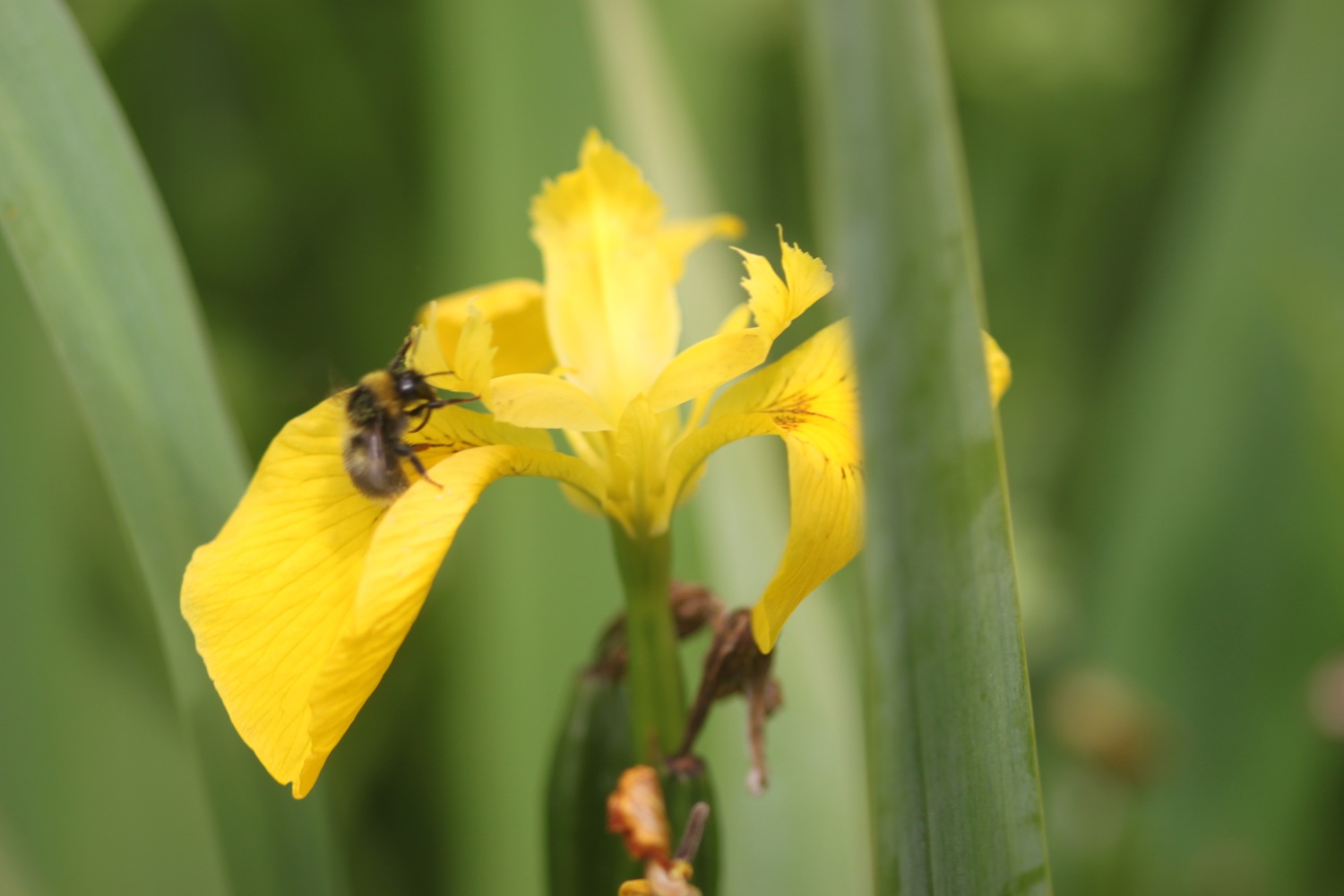
wild flowers on halzephron cliff