worth matravers to swanage
SOUTH WEST COAST PATH
monday, 7TH may 2018
Today's weather forecast looks to be pretty good, and I should have sun and very little wind all day long.
Swanage high tide 12:12
Swanage low tide 22:09


I attempted this walk back last June but had to abandon the walk in atrocious weather conditions so I'm back in much better weather to get this walk completed. In fact it's a glorious spring morning.
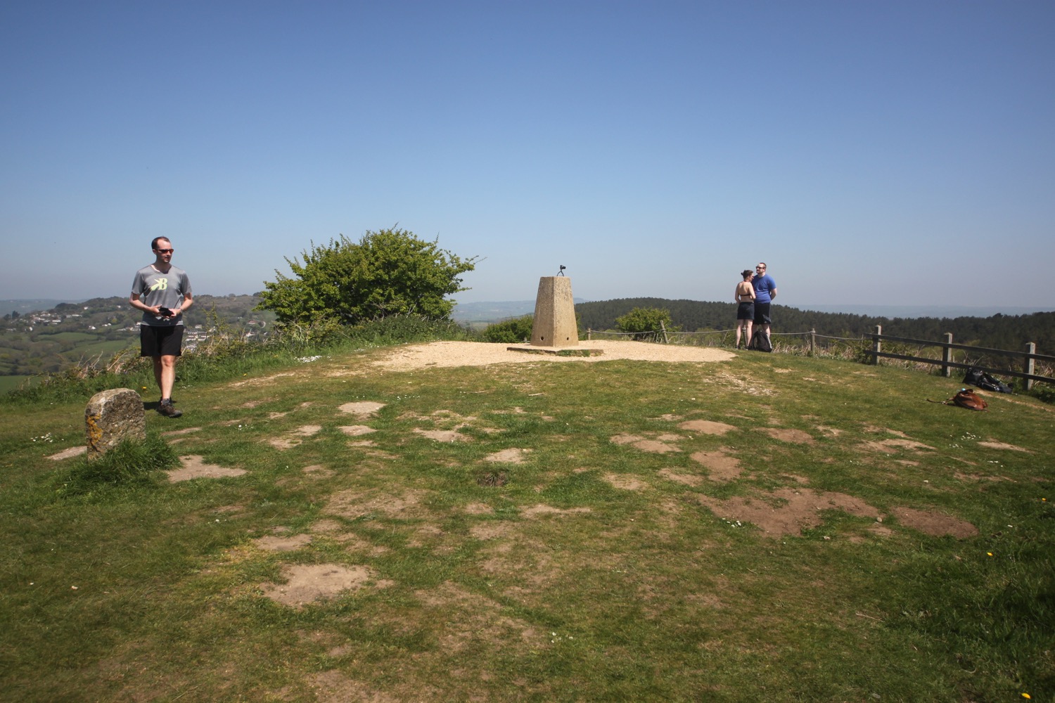
I start the day back at the Square and Compass pub in Worth Matravers.
square and compass
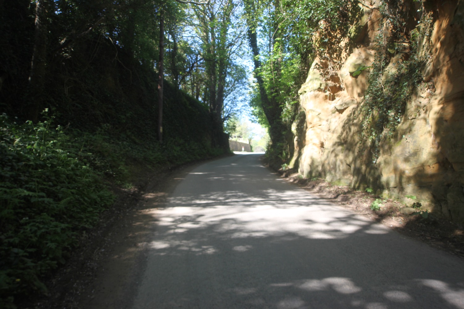
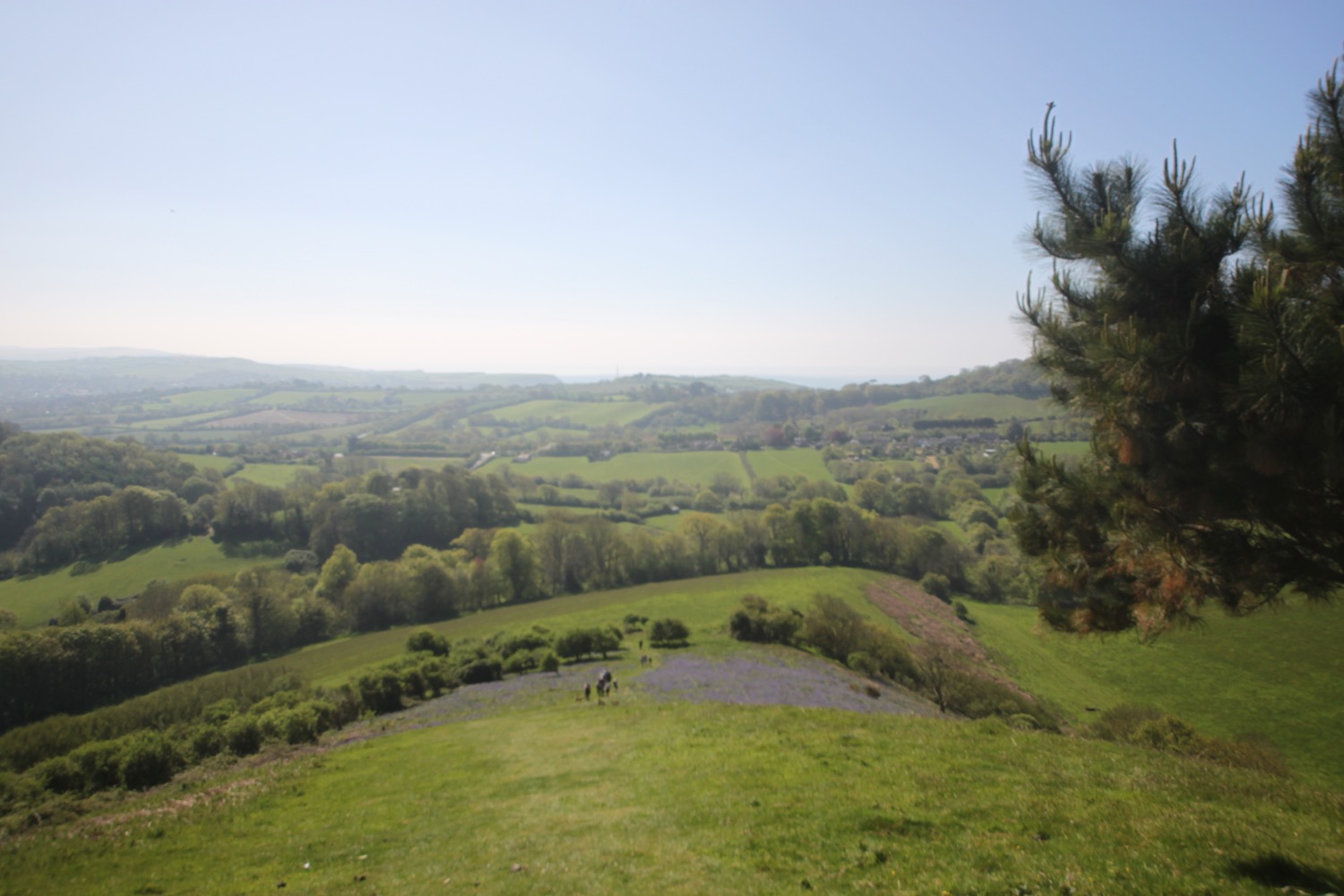
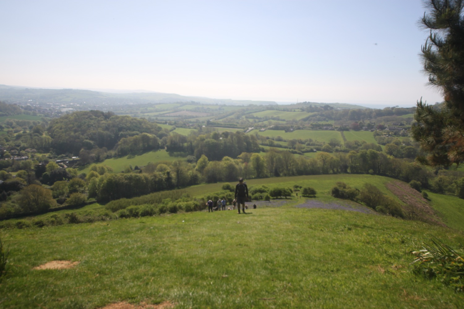
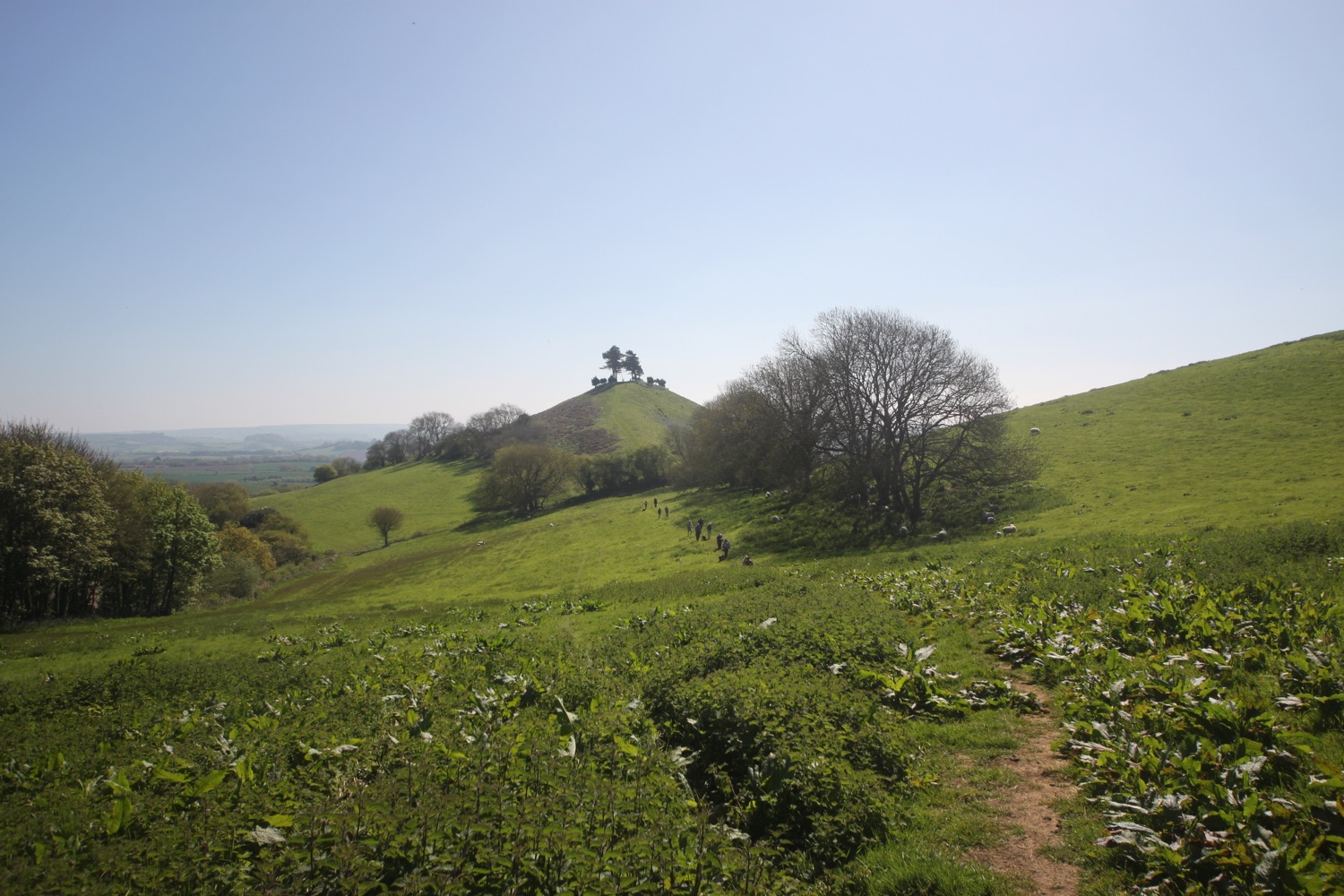
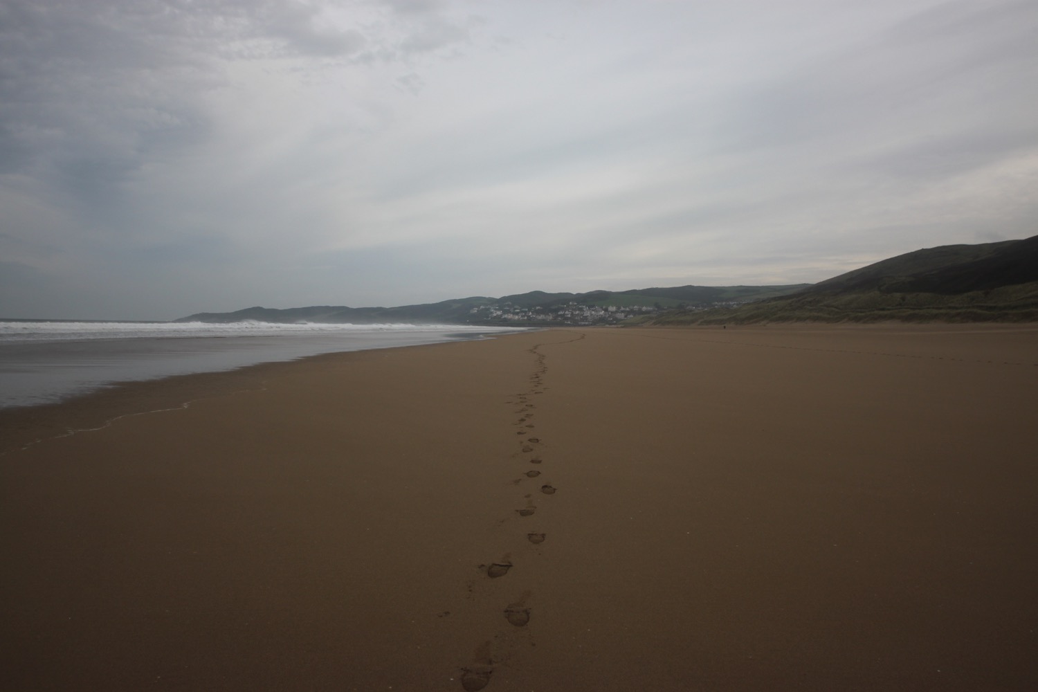
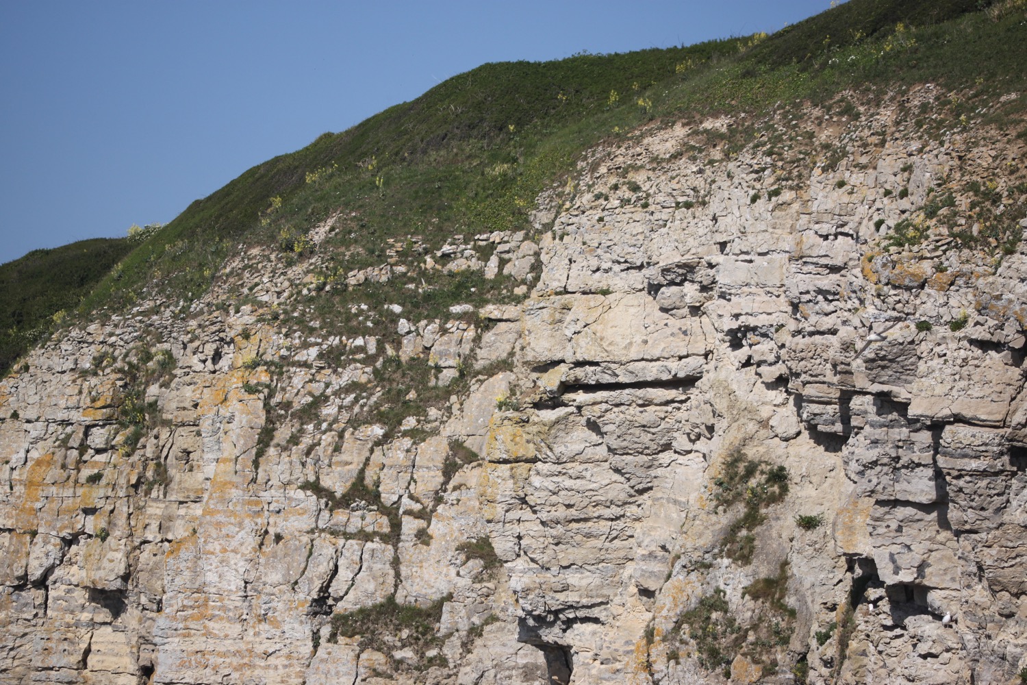
I head back towards the car park and head down a footpath before reaching it. I amble along fields and then pass a quarry which might be Swanworth Quarry, where I see a hare. I reach a road and head up it towards Renscombe Farm.
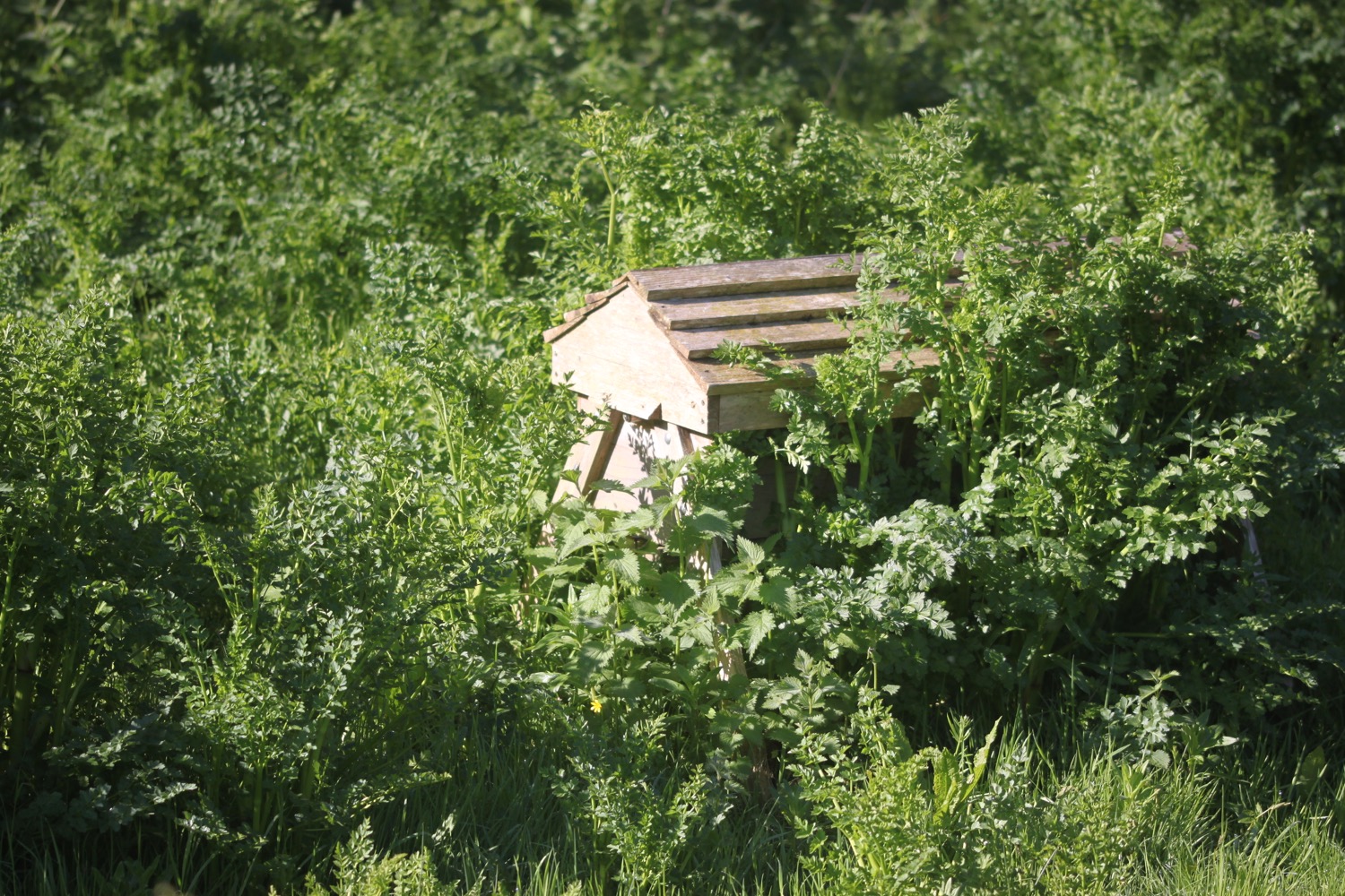
swanworth quarry
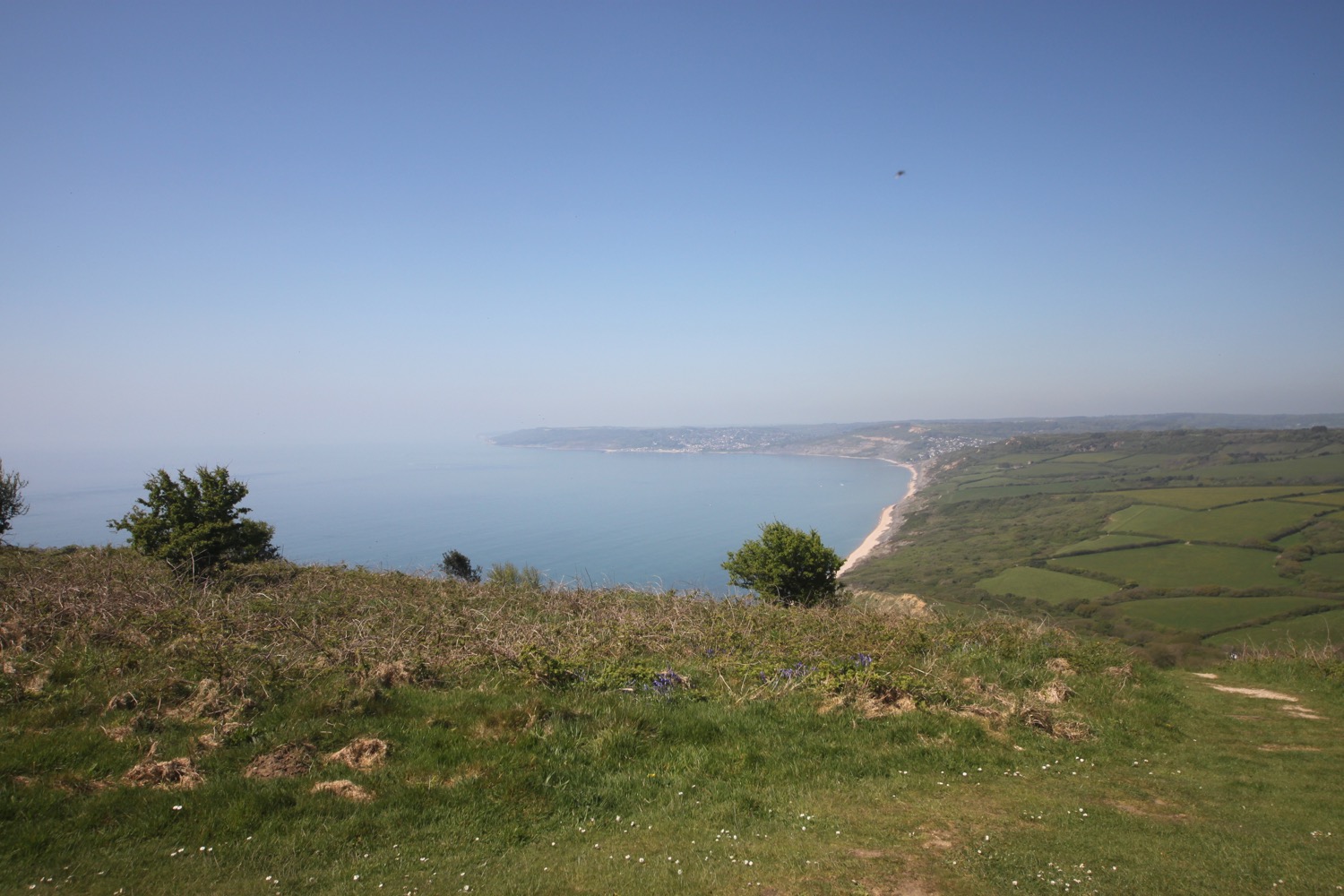
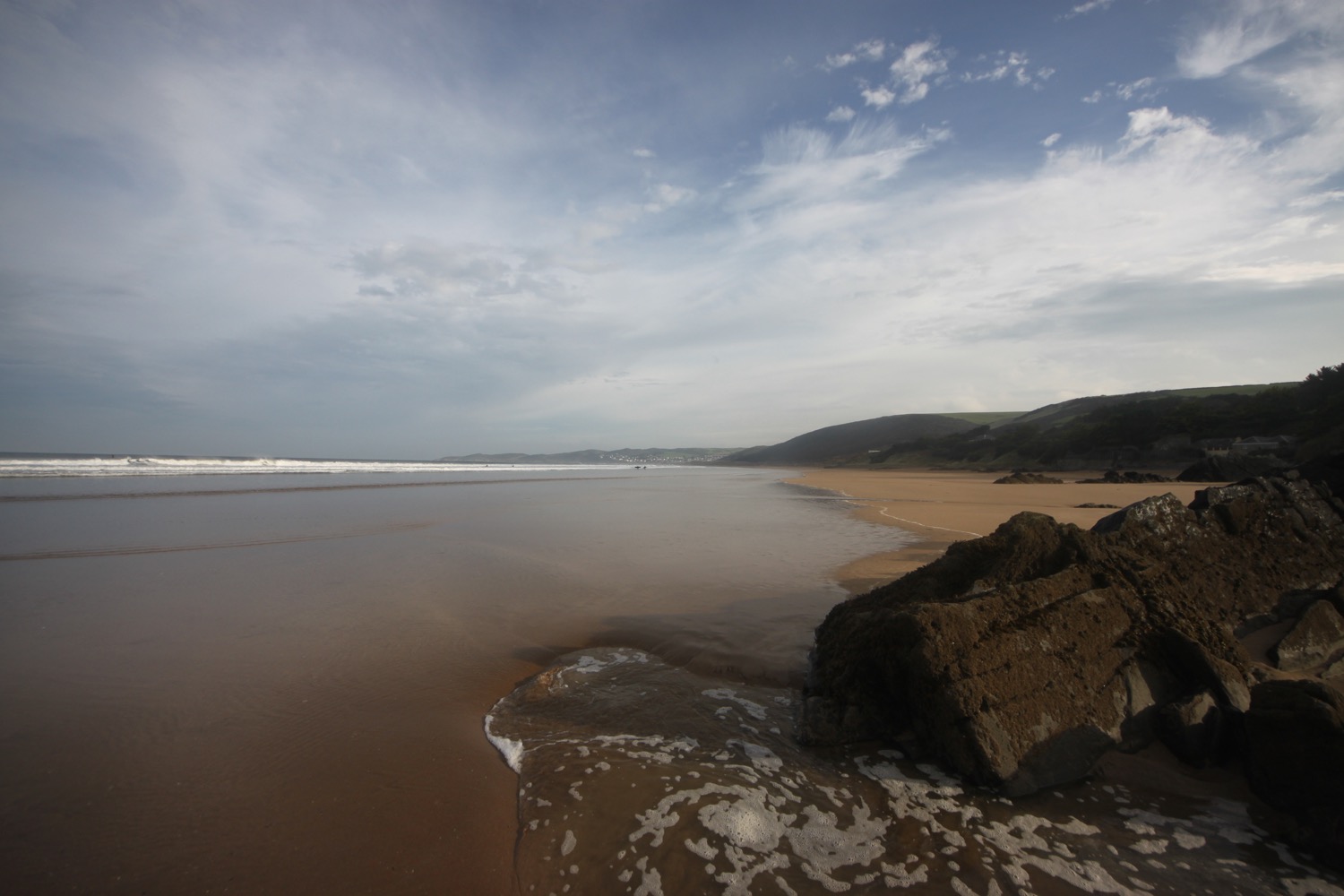
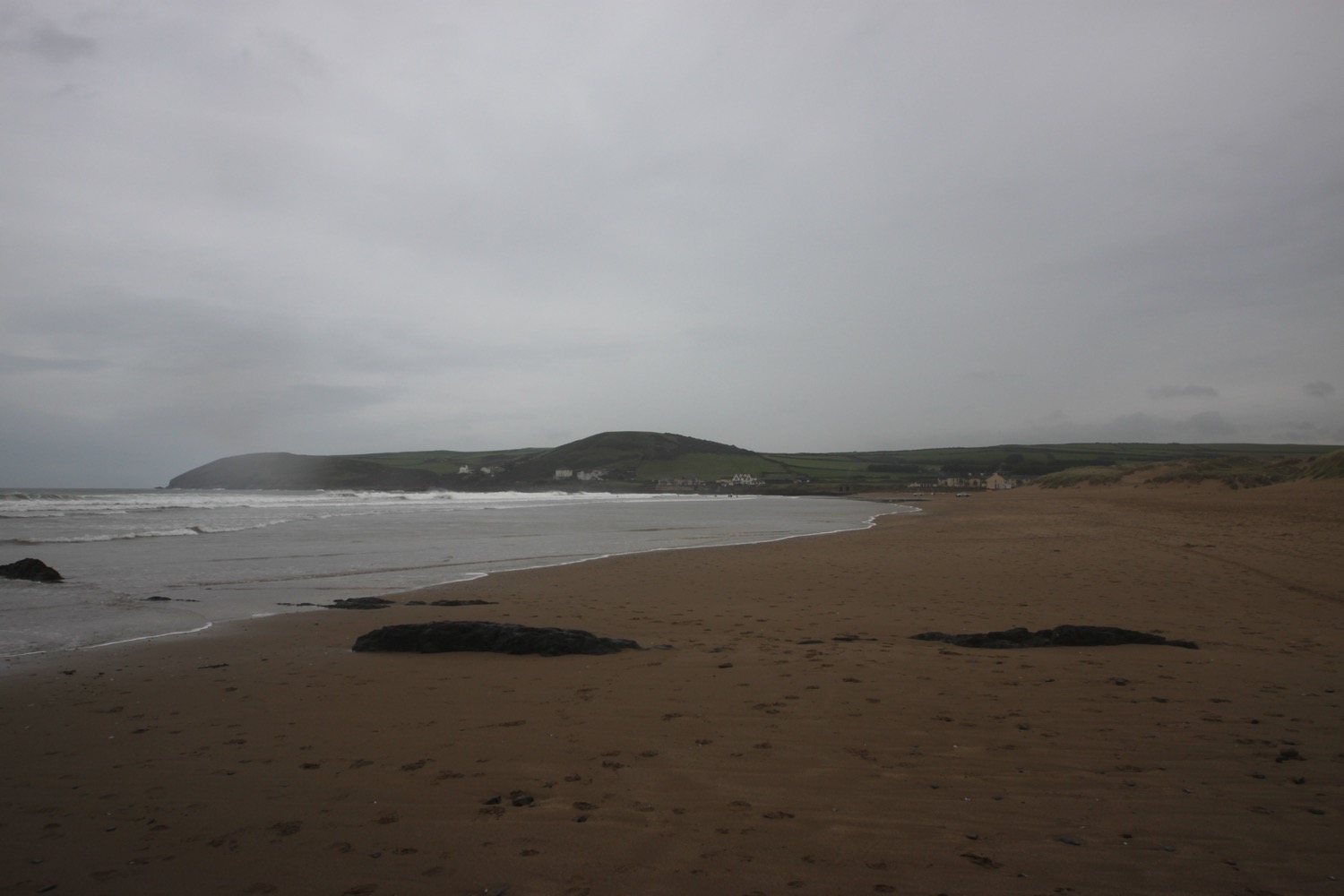
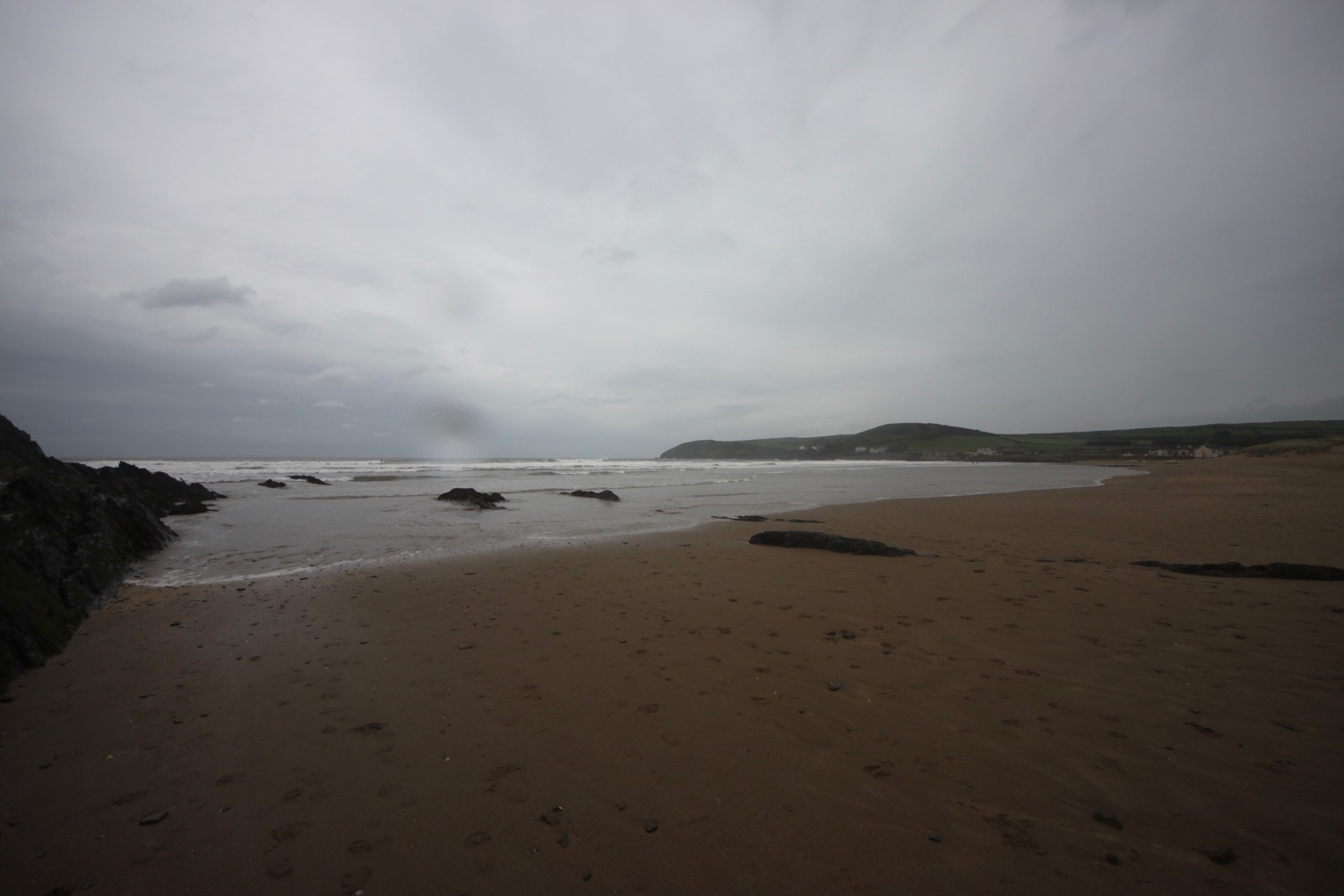
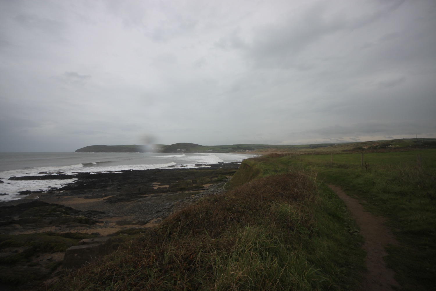
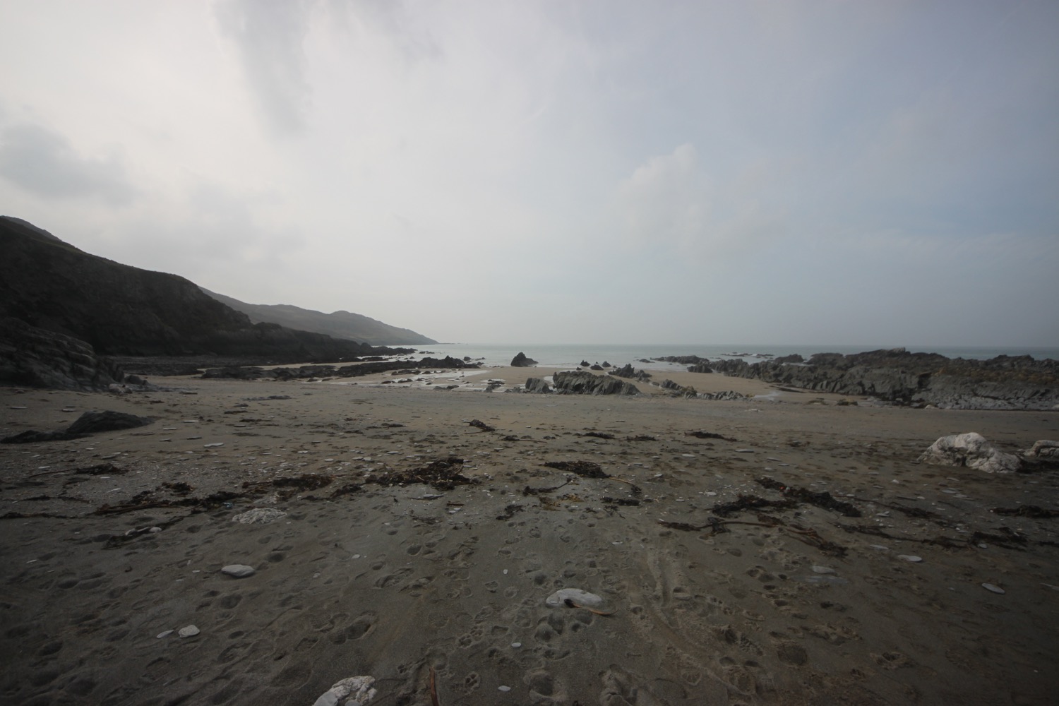
I pass Renscombe Farm and reach a car park and follow a footpath to rejoin the coast path at West Hill. I've always fancied visiting Chapman's Pool but I've never found a path down. Today I can see a steep footpath cut into the cliff which looks like I can scramble down but I'll have to leave that for another day.
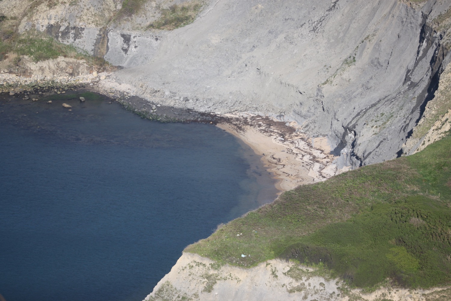
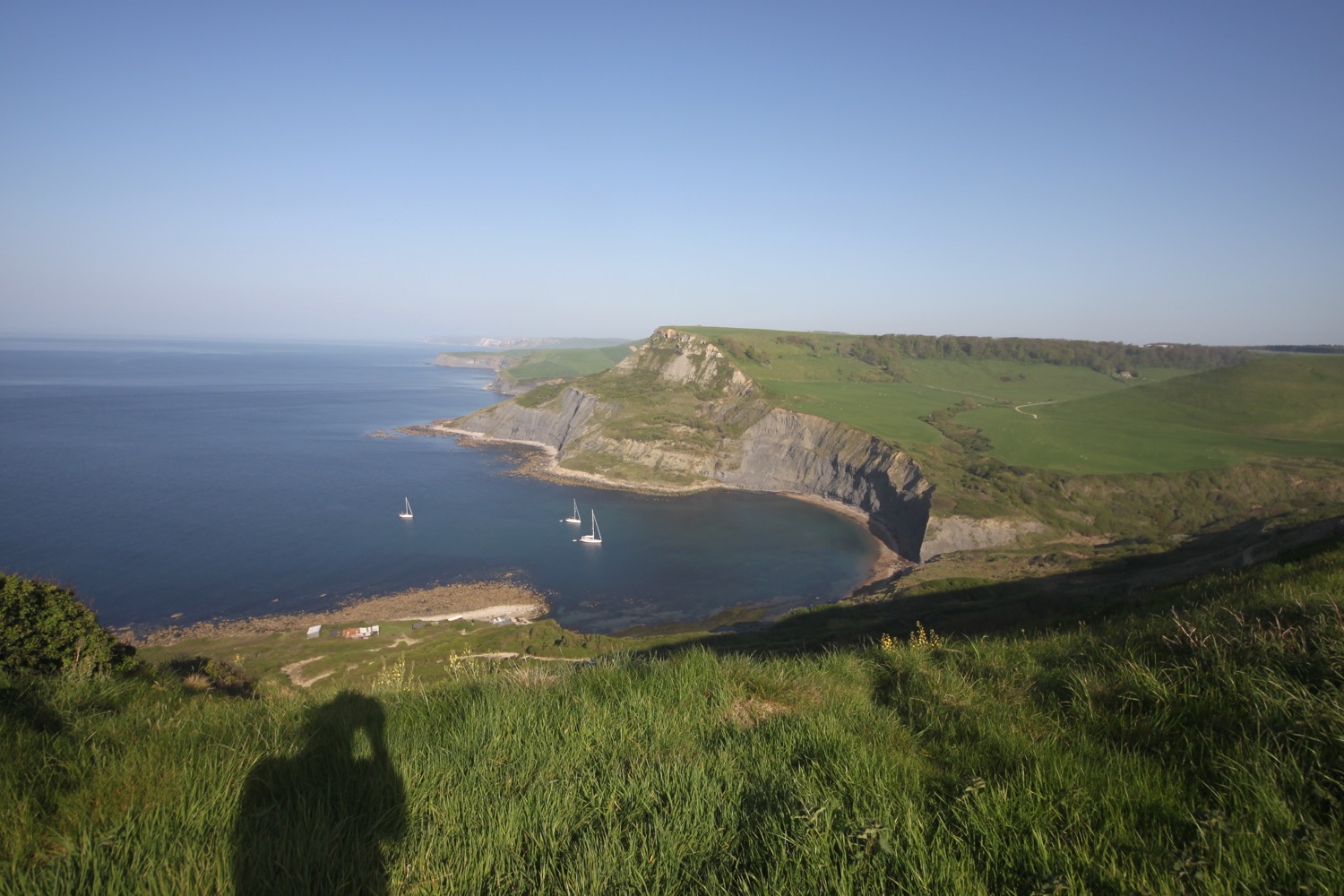
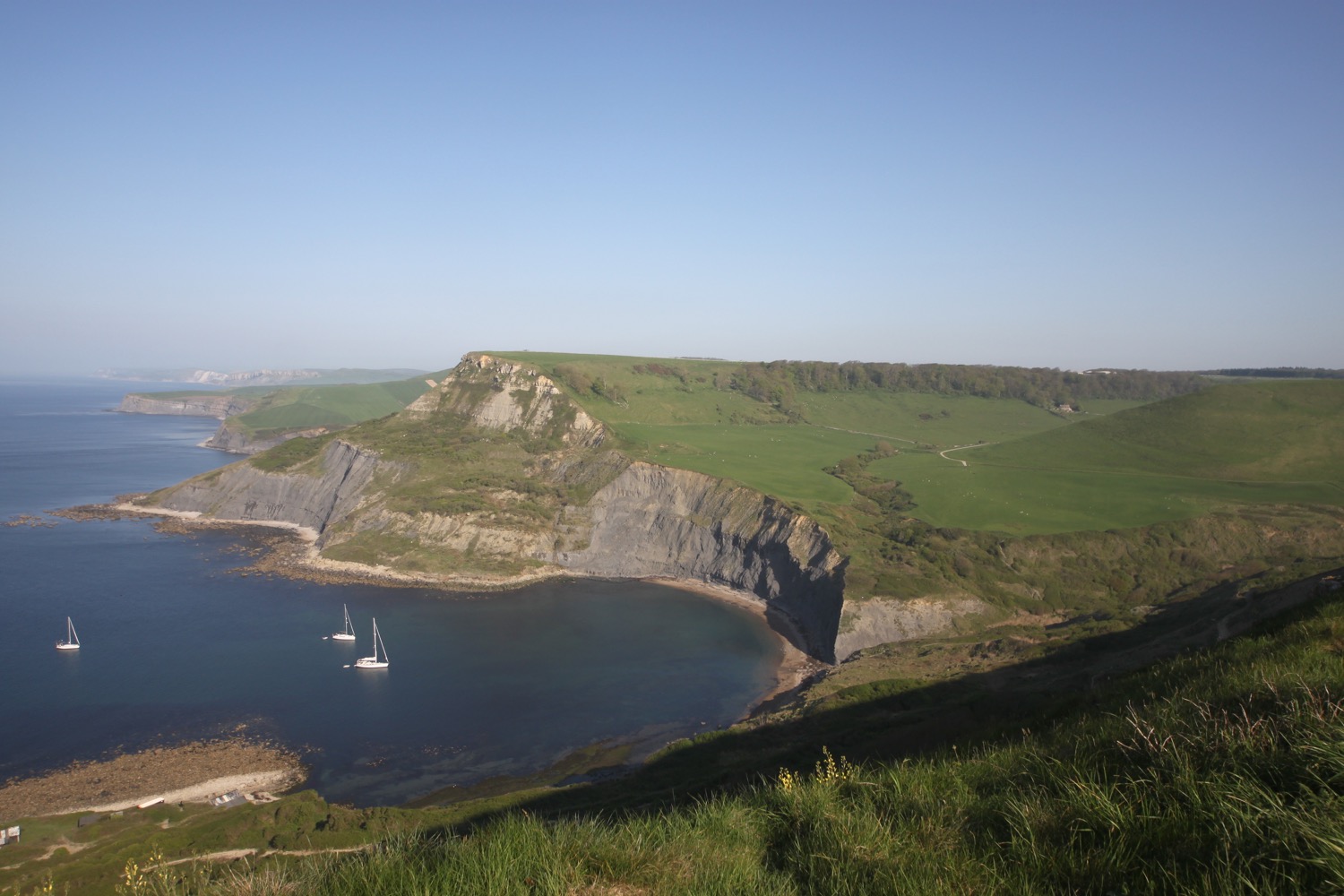
The rock around the bowl of Chapman's Pool is made of Kimmeridge Clay Shale and capped off with Portland Limestone laid down on the shale in a later period.
I come across limestone plaques set into the drystone walls of West Hill but I can't seem to find out any information about them. They are a bit worn now and it's difficult to make out the lettering but they read :-
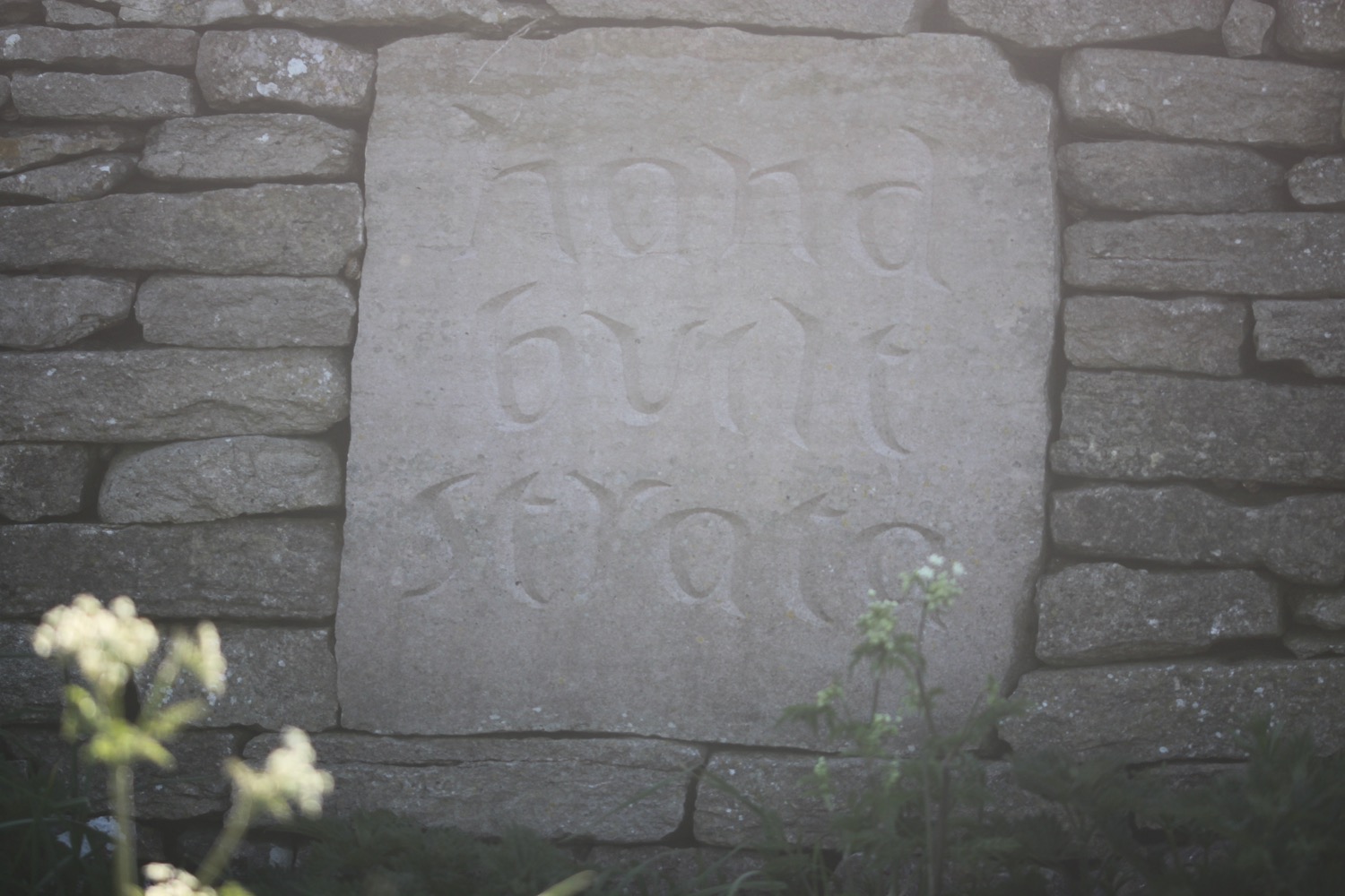
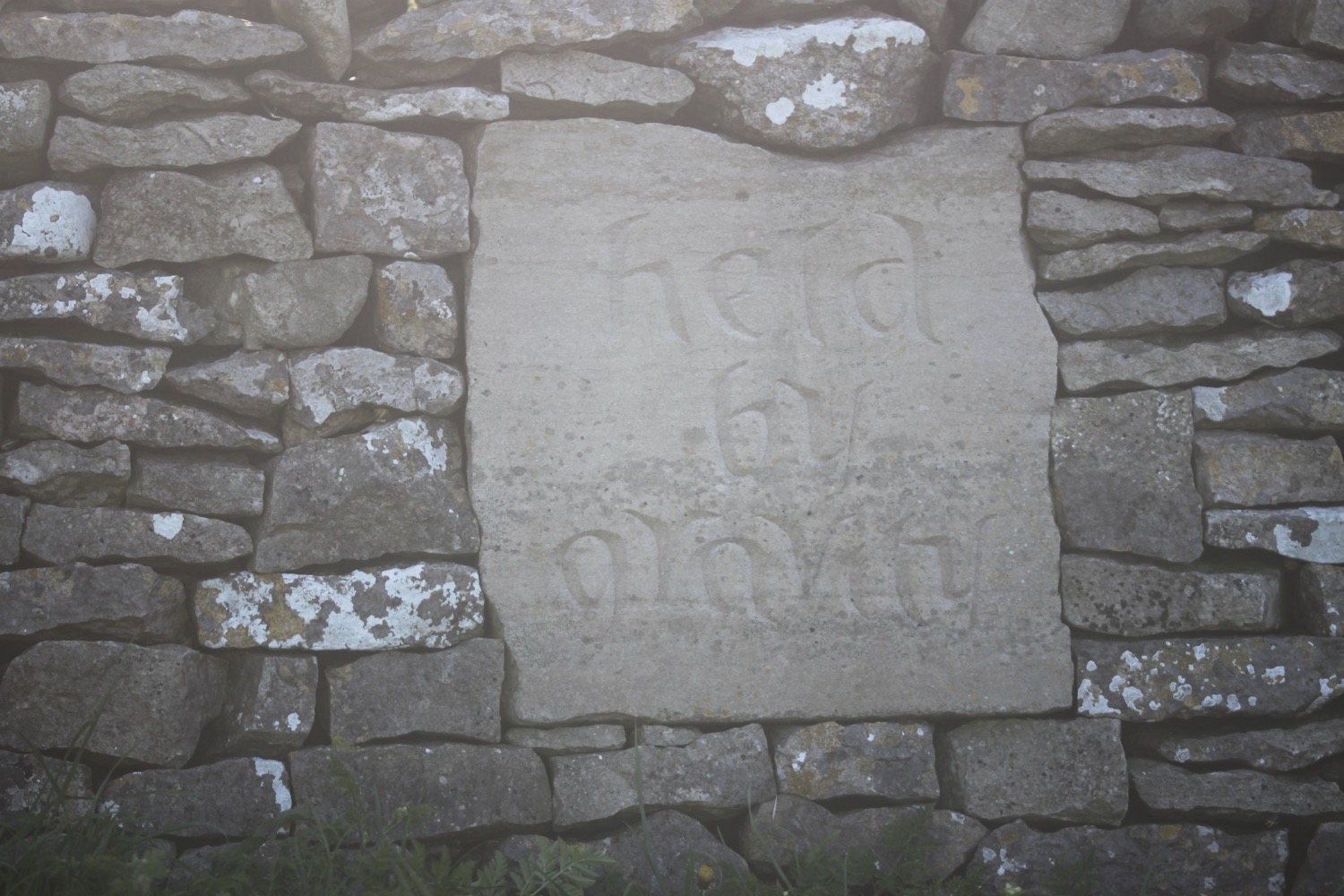

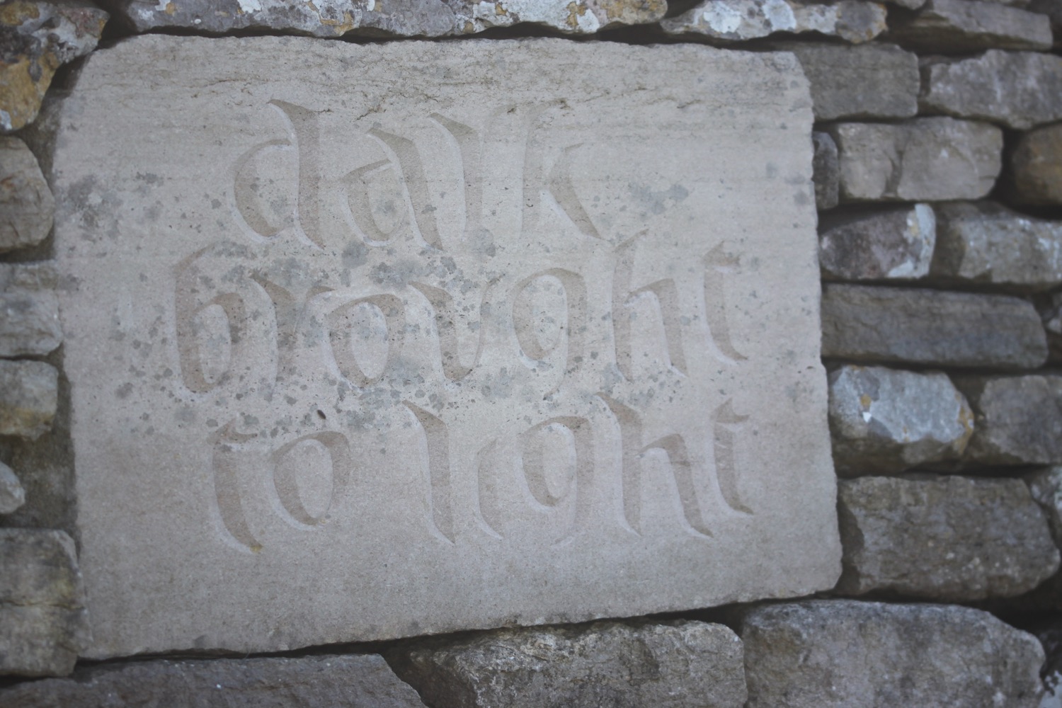
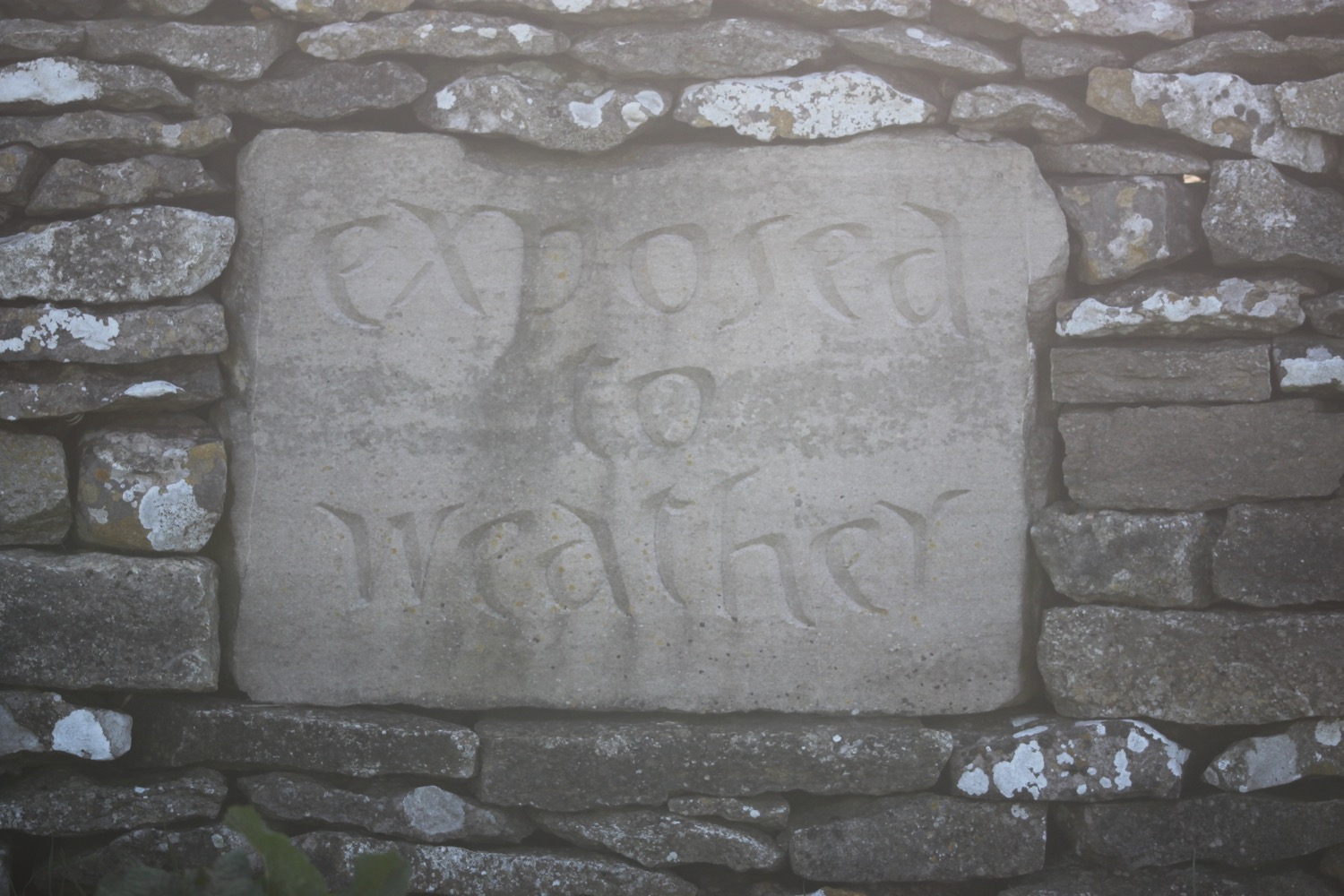
“stones lean together
hand built strata
held by gravity
between turf and sky
dark brought to light
exposed to weather
”
Unfortunately I've joined the coast path too far up to see the 'stones lean together' plaque.
I then come across a war memorial, built by the Dorset branch of the Royal Marines Association in 1990. It pays tribute to the members of the Corps who have been killed since 1945. There is a special mention of those who died in the Falklands, in the Middle and Far East, in Northern Ireland and those who perished in the IRA bombing at the Royal Marines School of Music in Deal.
“Rest awhile and reflect that we who are living can enjoy the beauty of the sea and countryside.”
war memorial

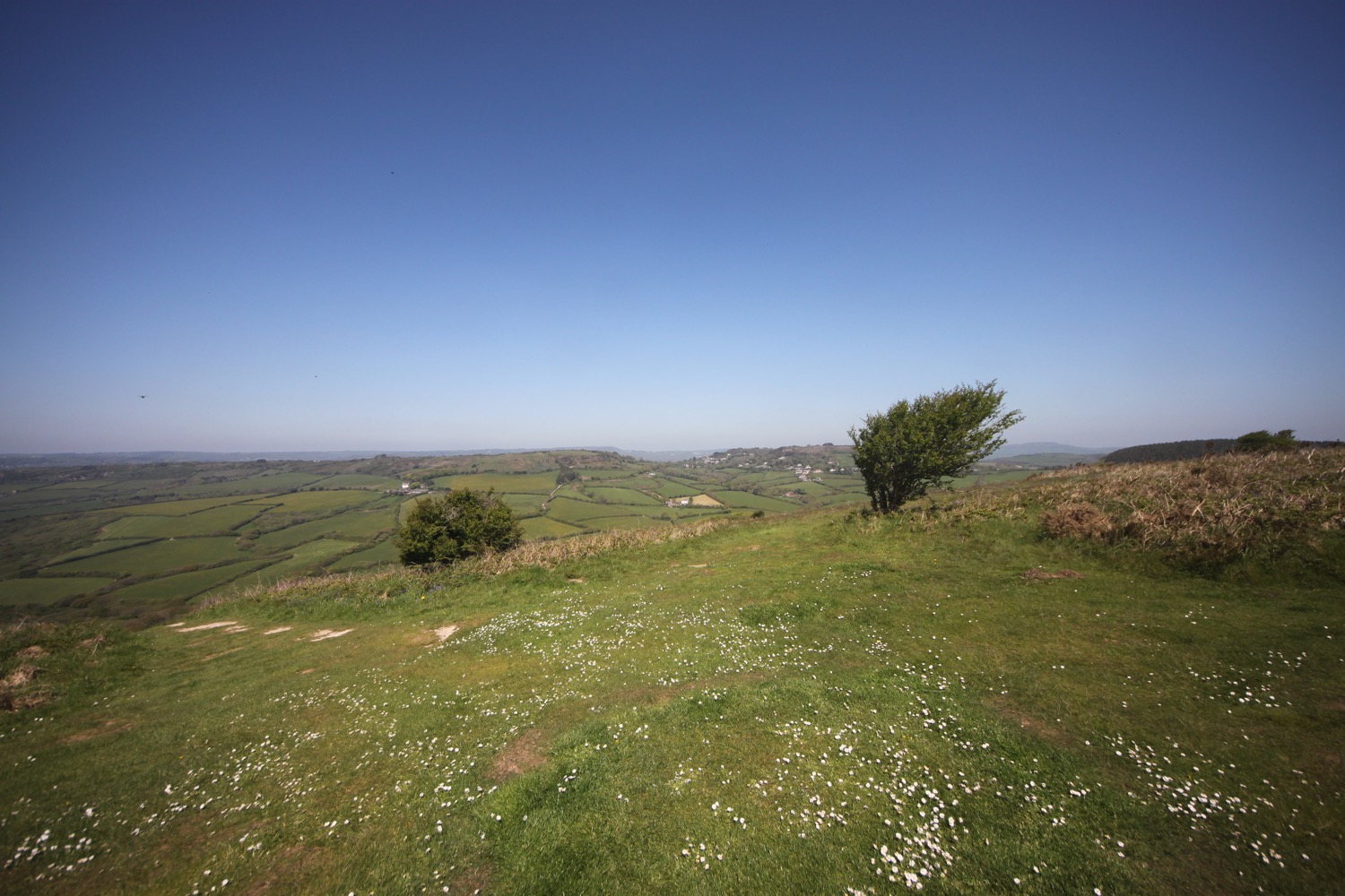
I amble along the clifftops at Emmetts Hill before dropping steeply downhill and then climbing a long flight of stone steps steeply up on to St Aldhelm's Head.
long flight of steps
Here I find St Aldhelm's Chapel where I sheltered for a while last year before deciding to abandon the walk. The chapel is a square shape with its corners aligned approximately on the cardinal points, not the walls as is customary.
st aldhelm's chapel
A bit further along I come across the St Alban's Head National Coastwatch Station. It's a long way from Hertfordshire but is named this way for maritime reasons.
st alban's head national coastwatch station
Nearby is the Purbeck Radar Memorial, practically the only evidence that remains of the development of the radar here during the second world war by the Telecommunications Research Establishment. The memorial was dedicated by Sir Bernard Lovell on the 27th of October 2001 and again in September 2006.
purbeck radar memorial
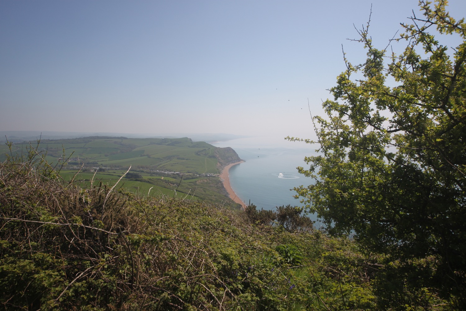
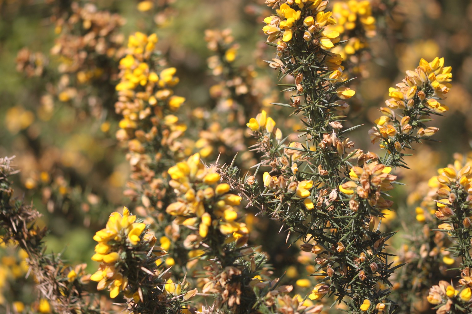
It is now easy walking along the clifftops on my way to Swanage and I'm now walking through a quarried landscape where Purbeck marble was excavated from mediaeval times including for the pillars of Salisbury Cathedral.
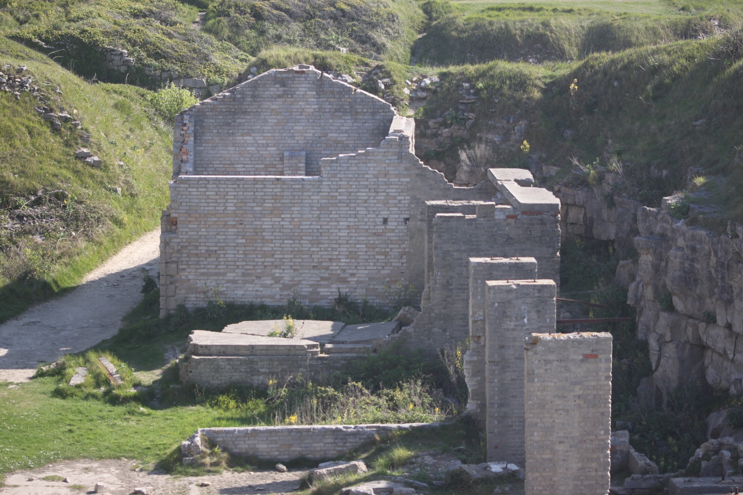

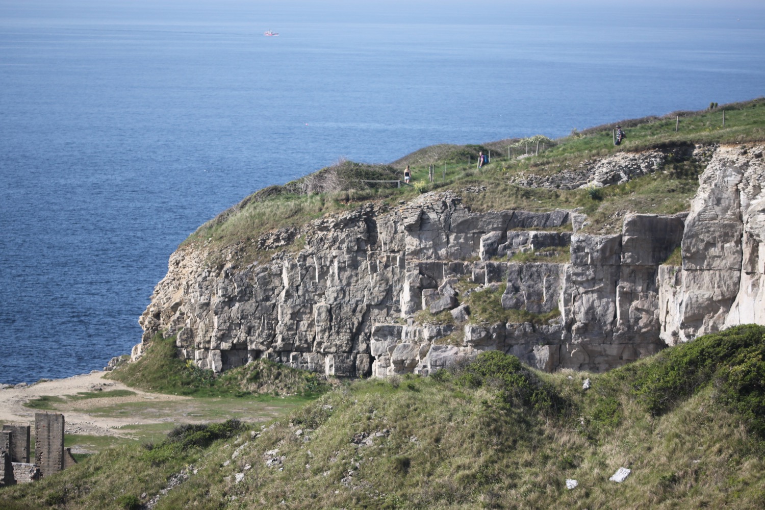

I turn inland at Seacombe Cliff past more quarrying activity before turning back out onto the cliffs.
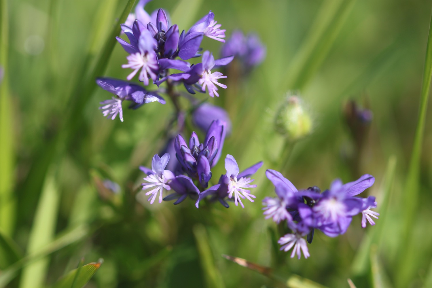

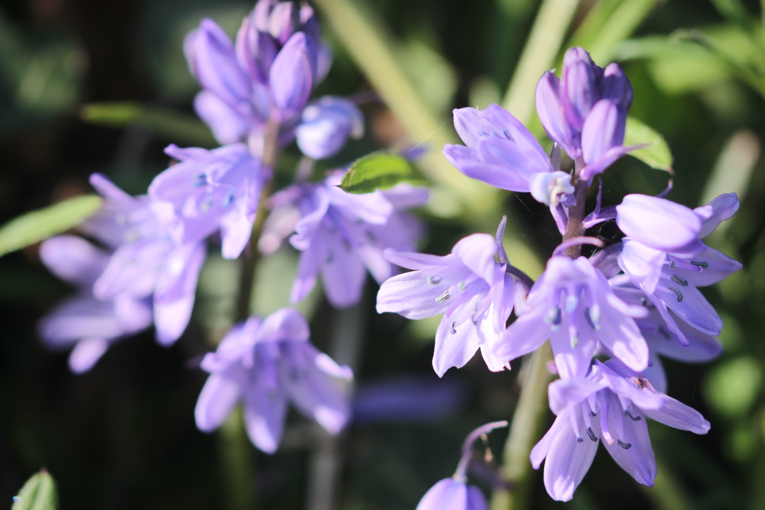
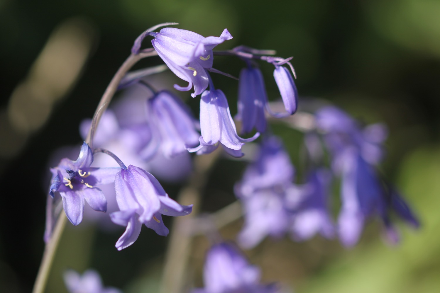
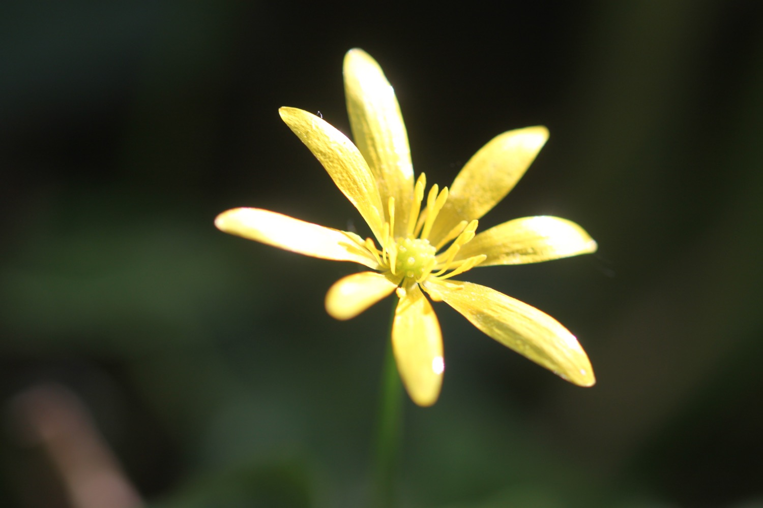
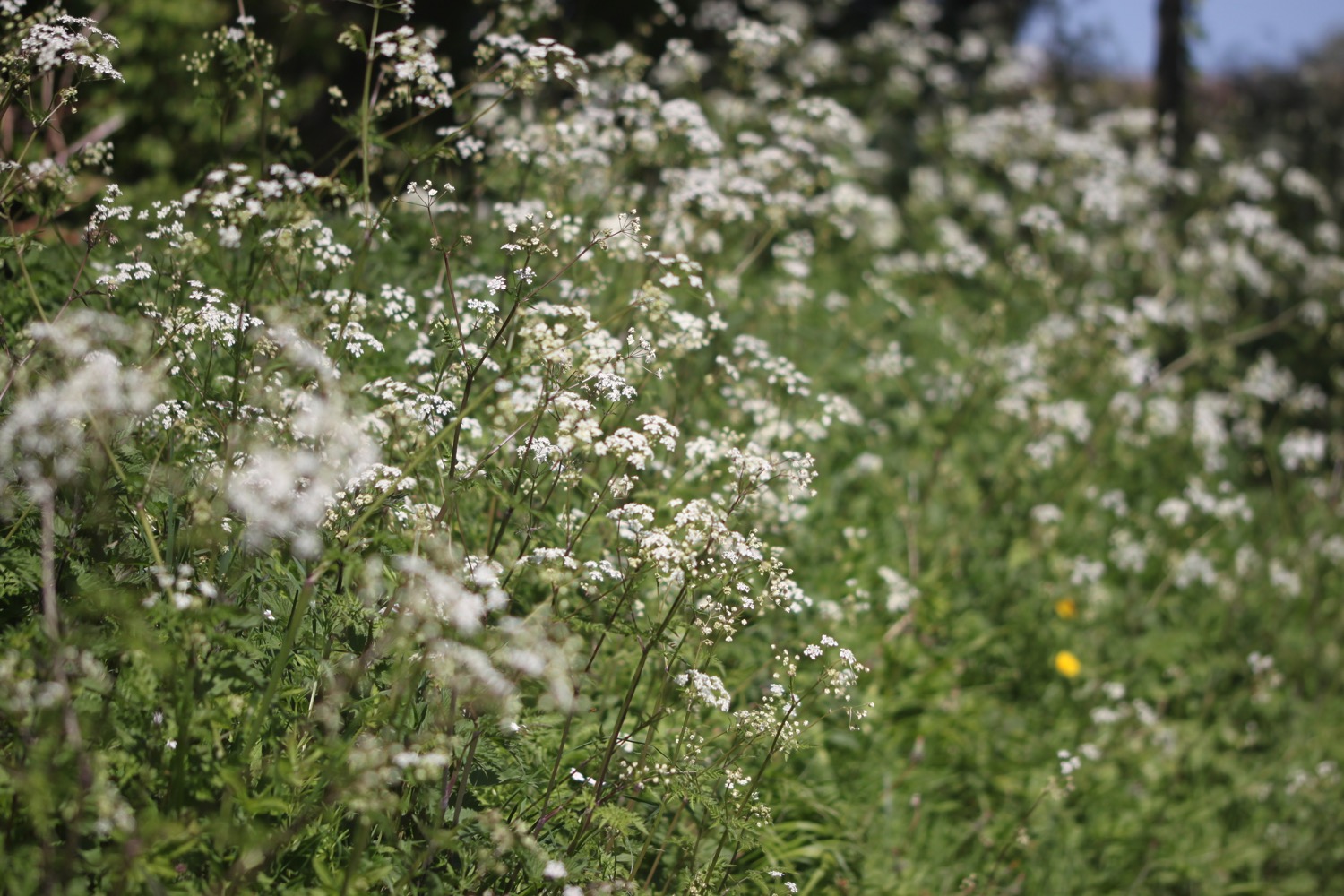
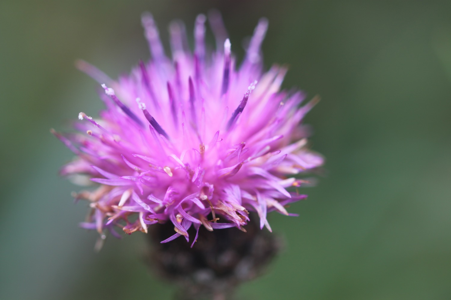
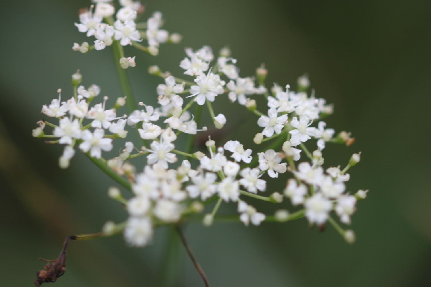
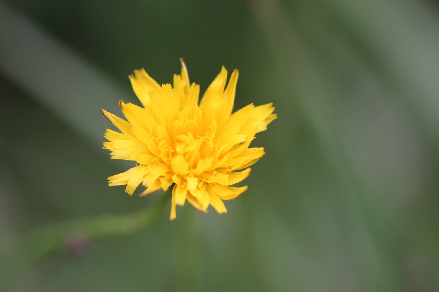
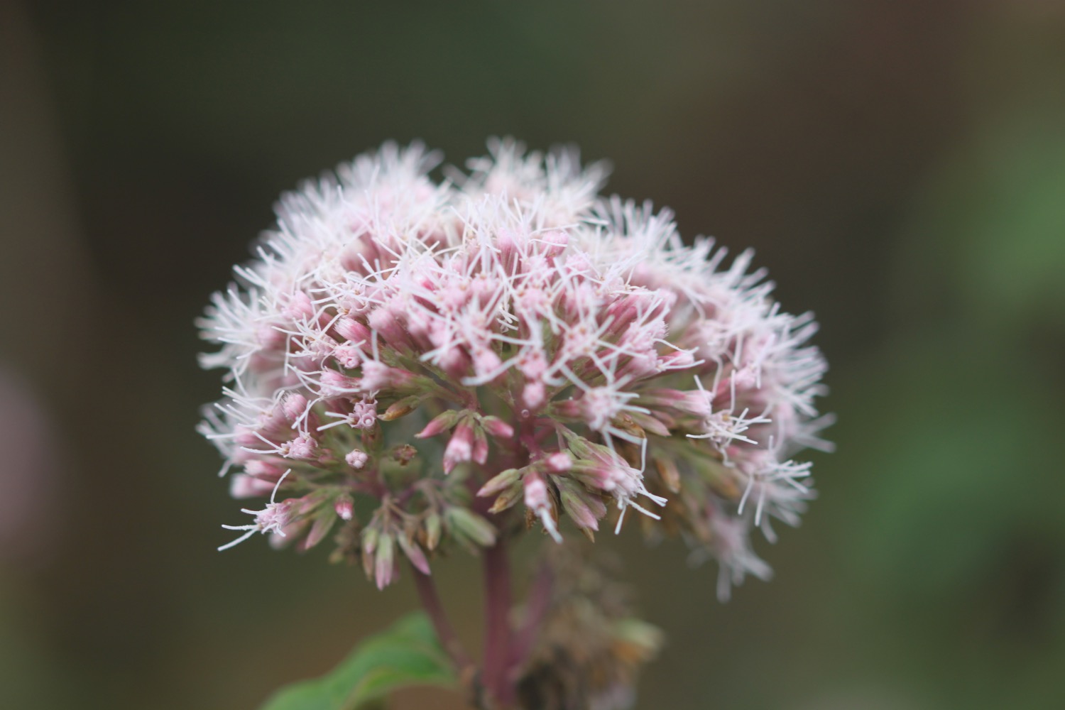
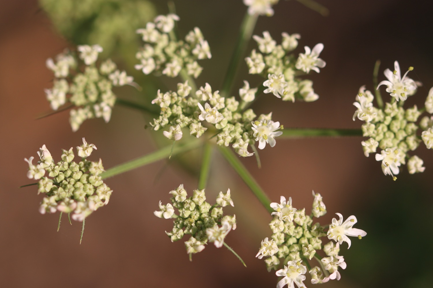
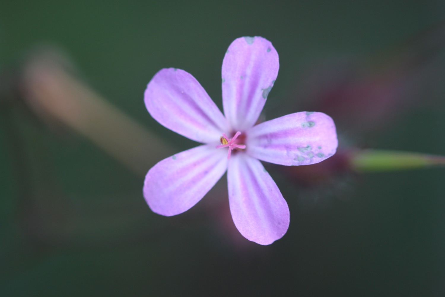
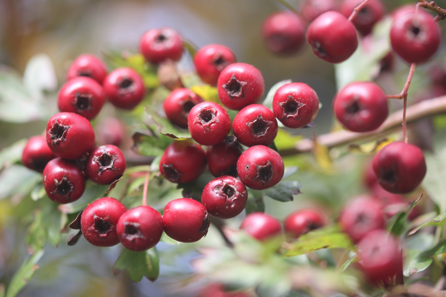
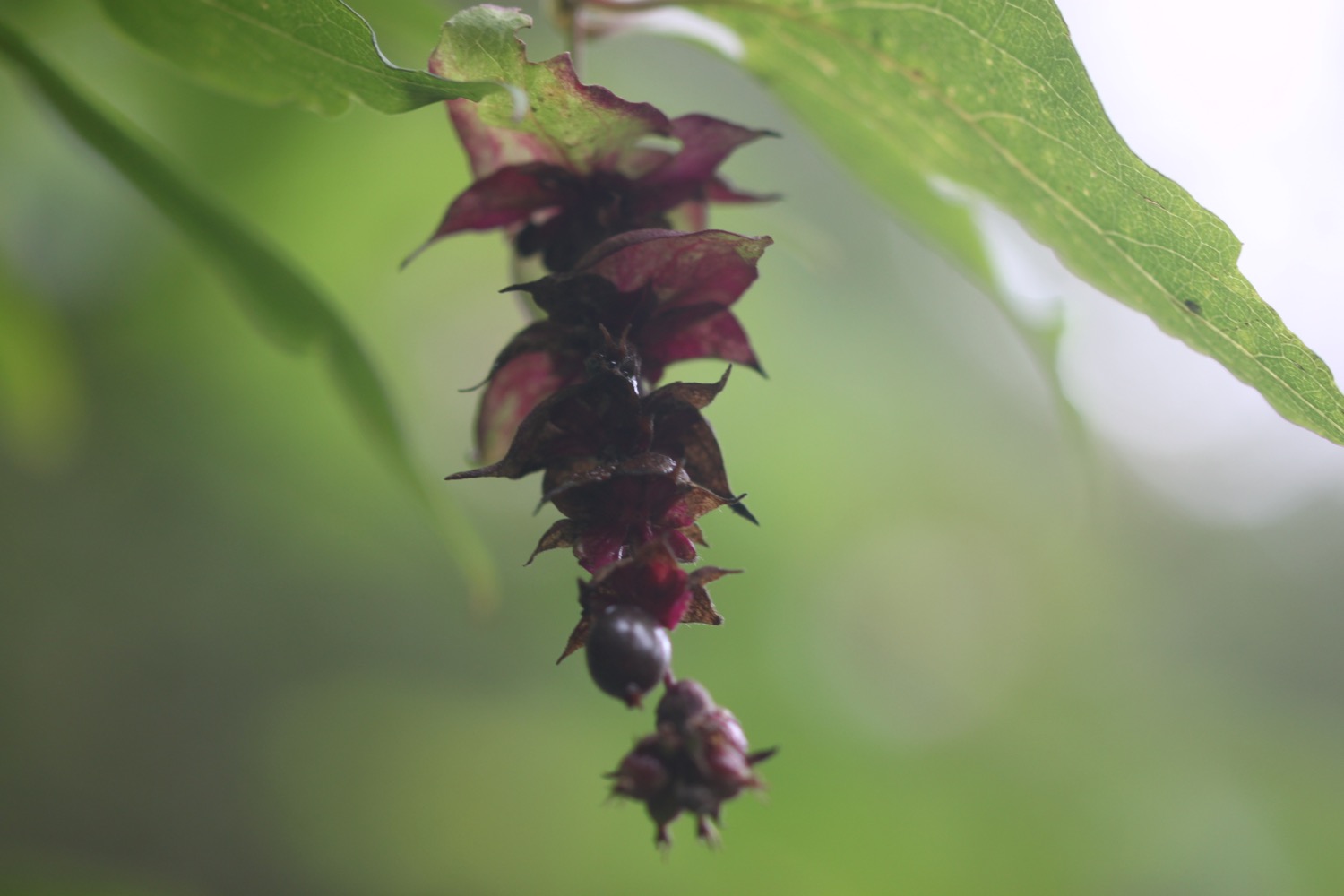
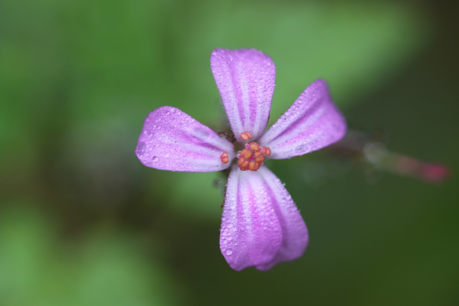
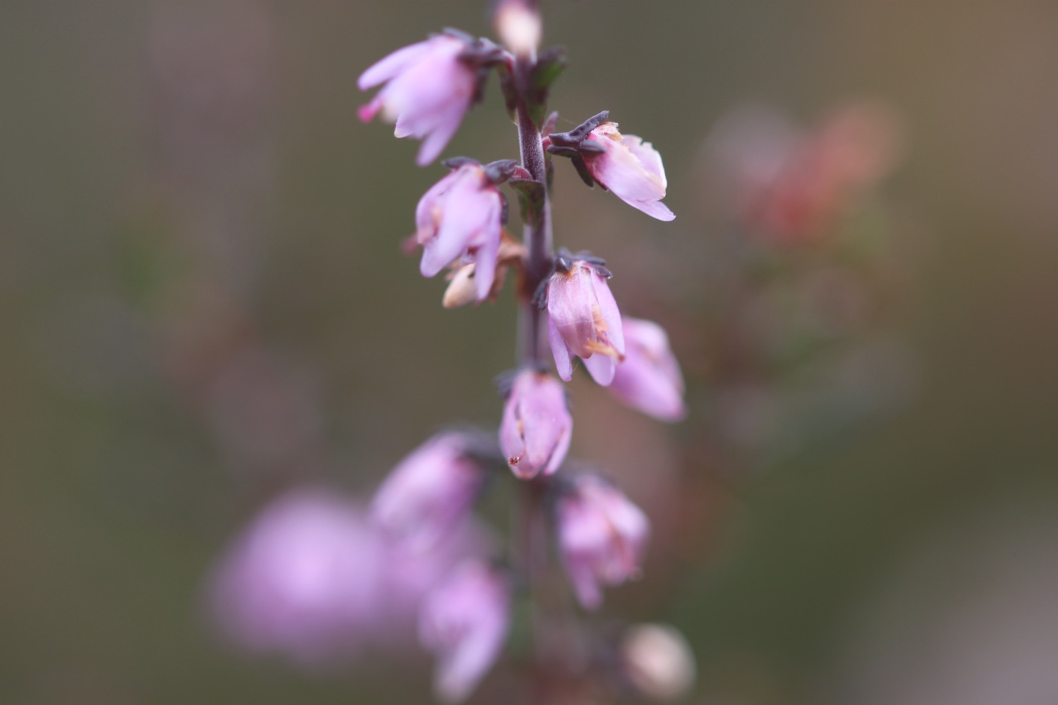
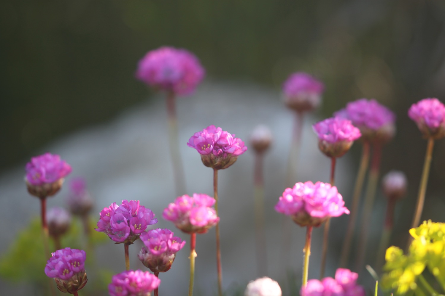
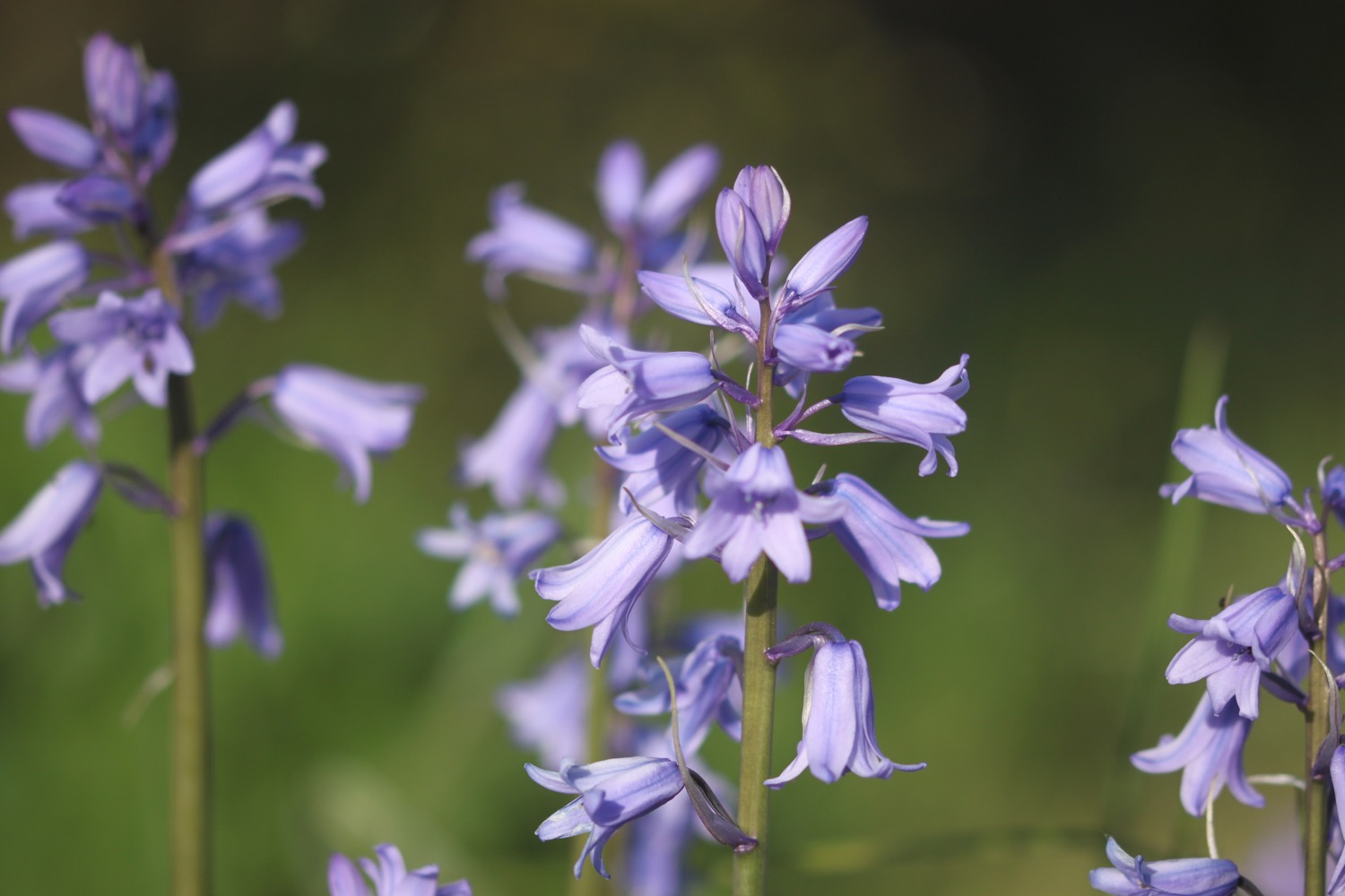
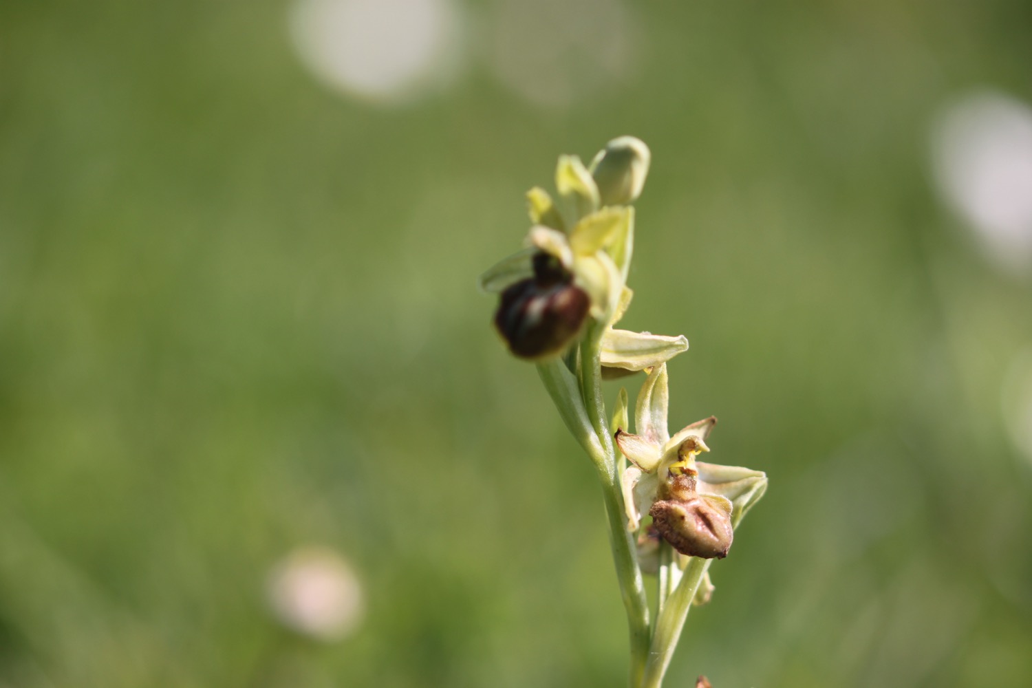
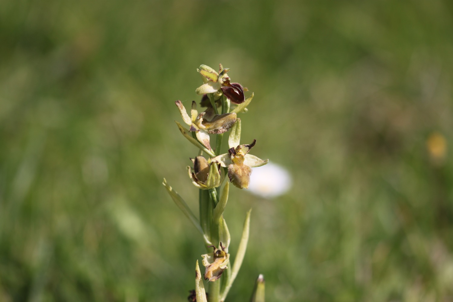
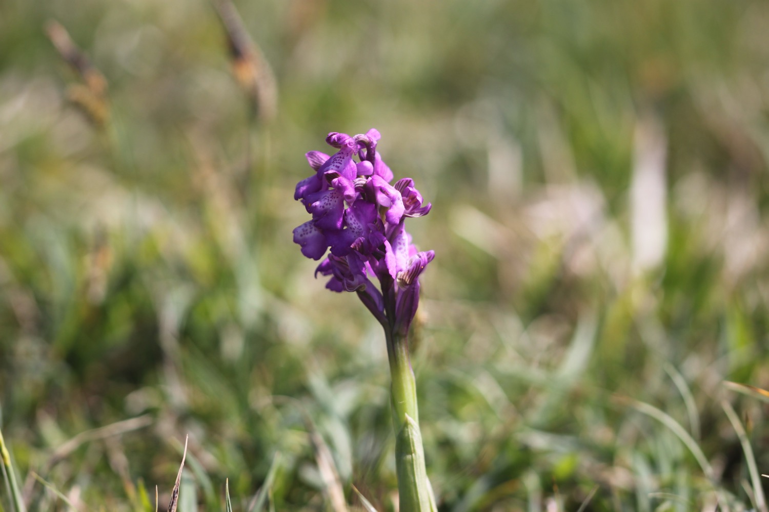
I pass above Dancing Ledge and come across a large patch of early spider orchids. I haven't seen these beauties for seven years.


dancing ledge
I pass Blacken Hole and then a pair of mile indicator posts used by passing ships to measure their speed.
mile indicator posts
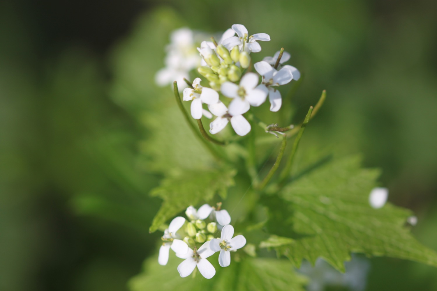
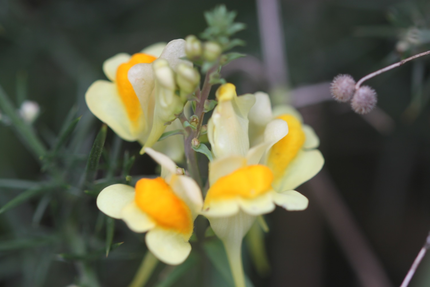
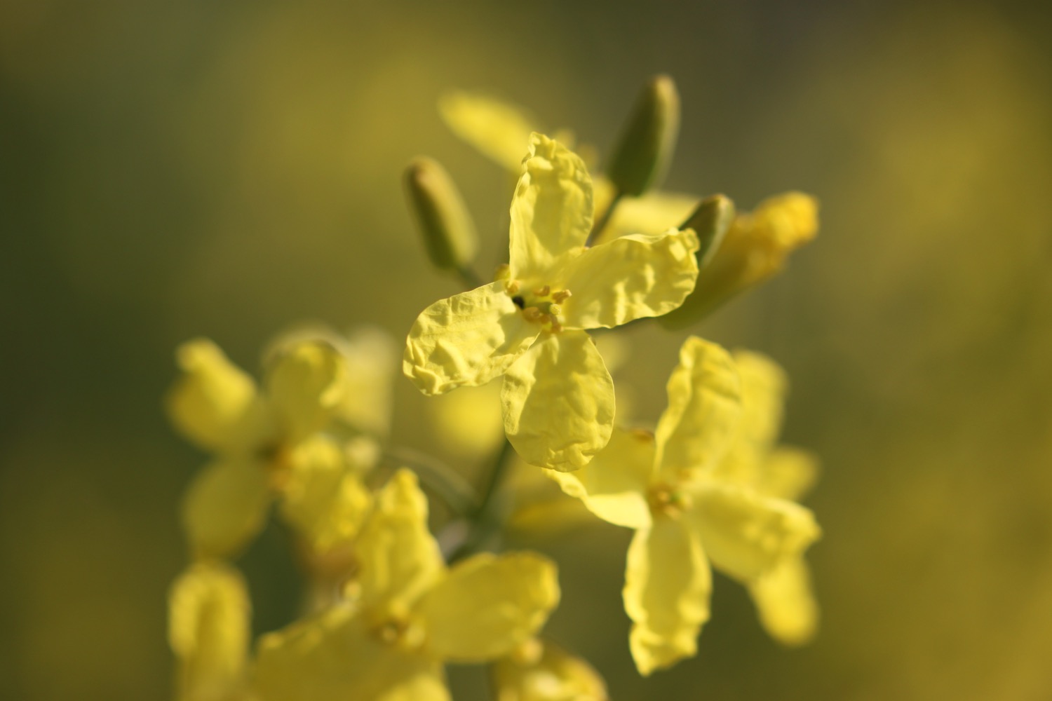
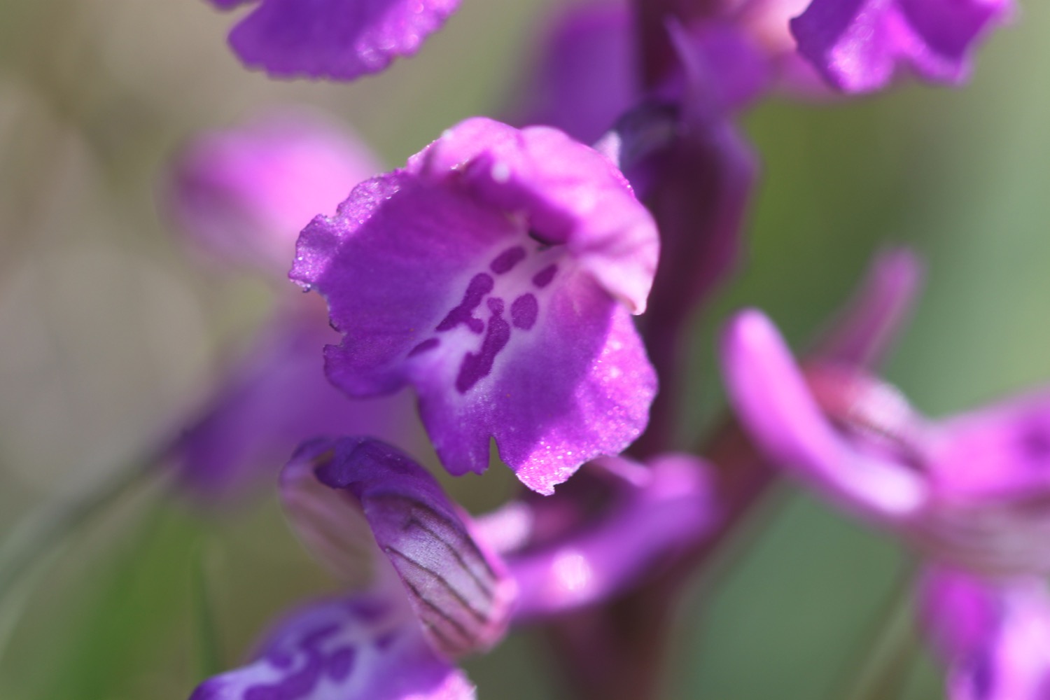
I come across a patch of green-winged orchids before entering Durlston Country Park.

I round Anvil Point to reach Anvil Point Lighthouse built out of the local limestone in 1881. Another pair of mile indicator posts can be found above the lighthouse.
anvil point lighthouse
I pass the entrance for Tilly Whim Caves quarried during the Napoleonic wars but closed by 1812. In 1887 they were opened as a tourist attraction but closed again in 1976 for safety reasons.
tilly whim caves
I round Durlston Head and pass Durlston Castle below which I can see the Great Globe, commissioned by George Burt, a sphere carved from 40 tonnes of Portland limestone and built in 15 segments at the Greenwich stoneyard of John Mowlem.
durlston castle and the great globe
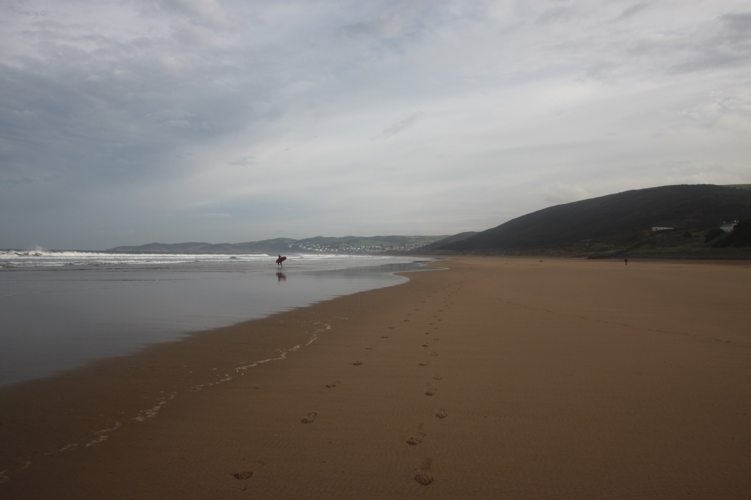
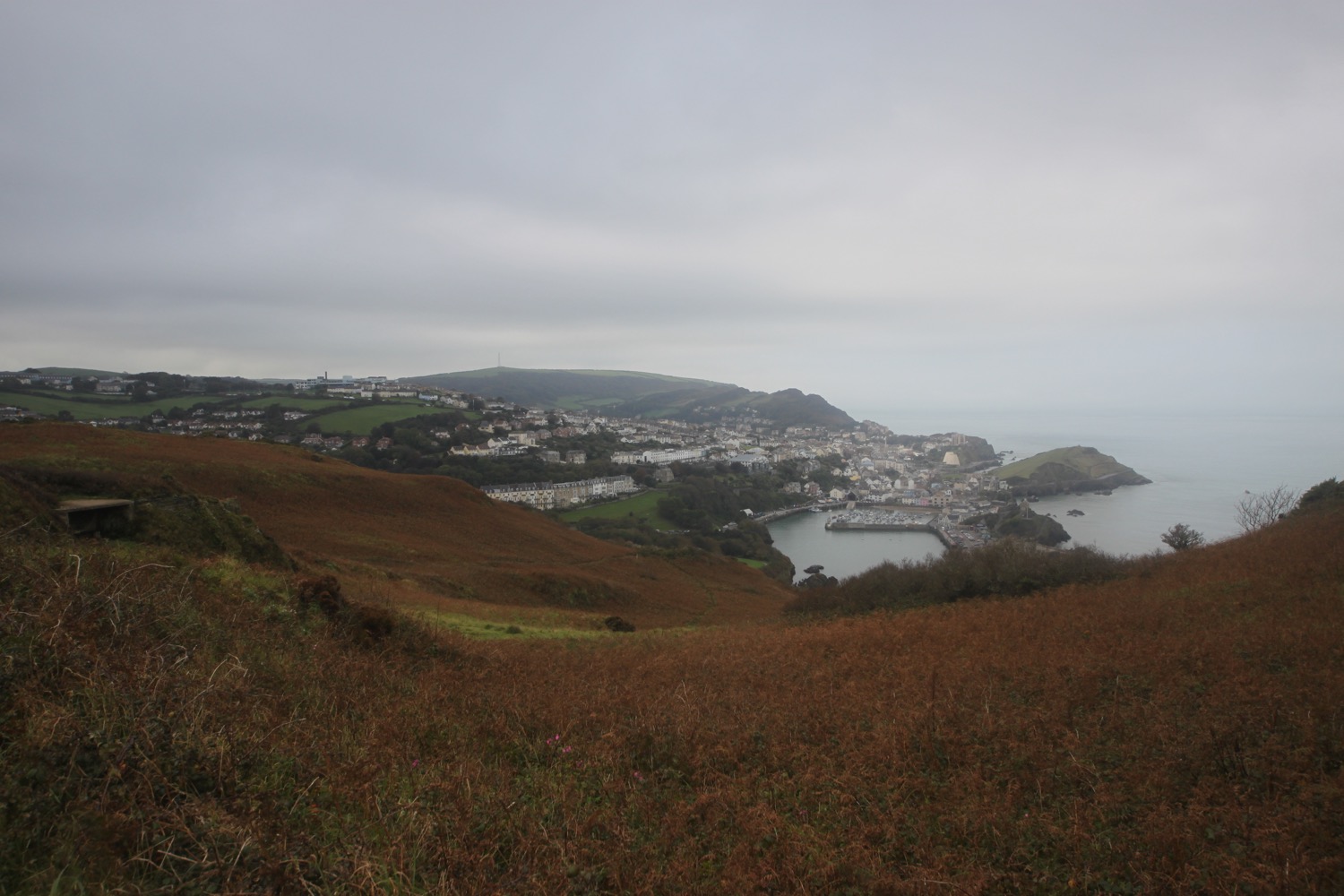
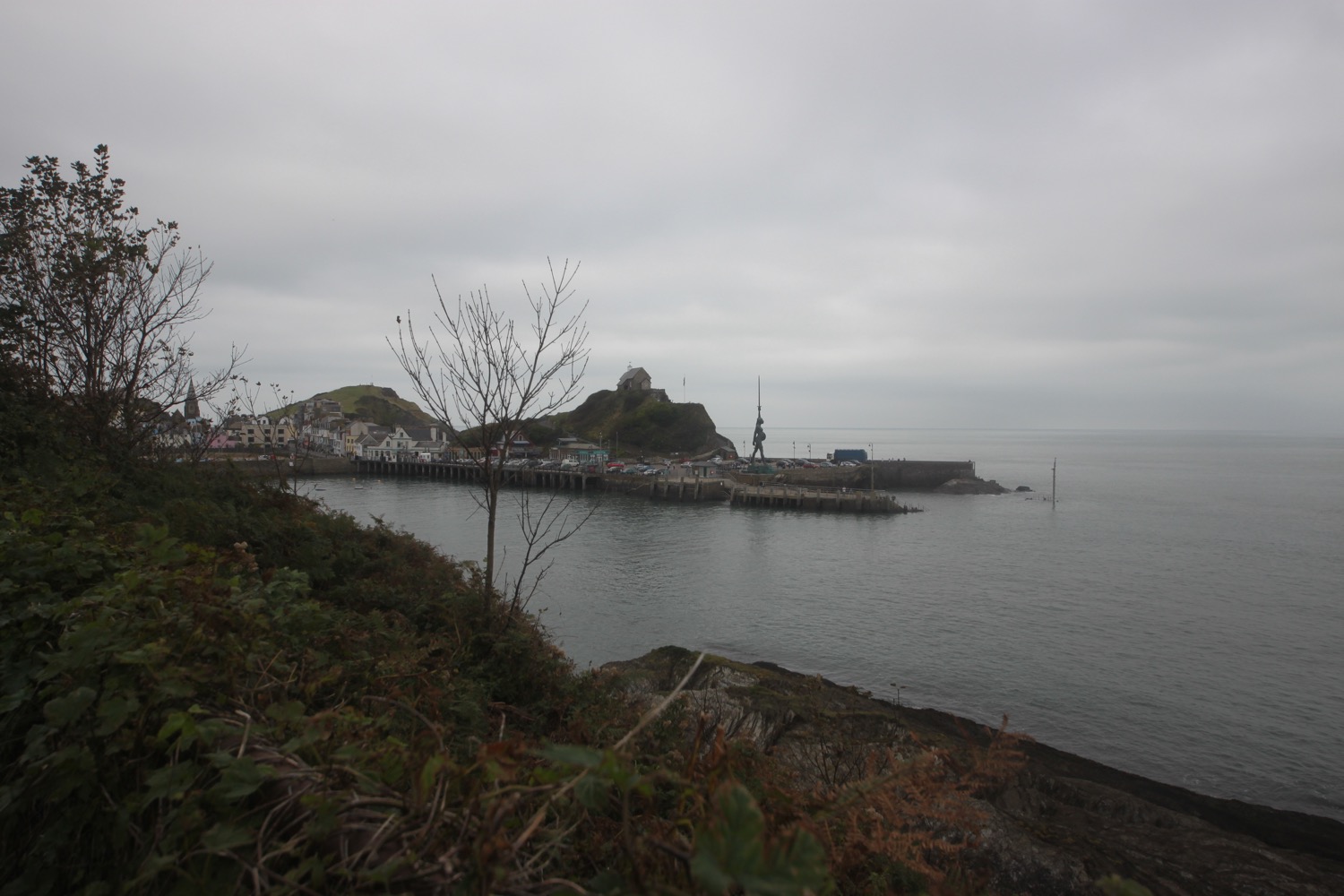
I pass through woodland, which is the first shade I've had today, and it is now easy walking into Swanage.
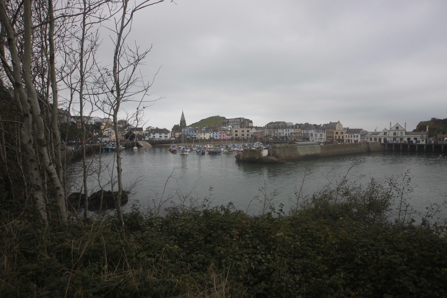
I head along Belle Vue Road and head across a grassy slope towards Peveril Point where I find Swanage National Coastwatch Station. I now have fine views over Swanage Bay and out to Old Harry Rocks and I can just make out the Isle of Wight in the haze, I think.
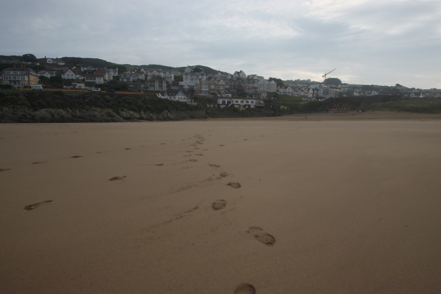
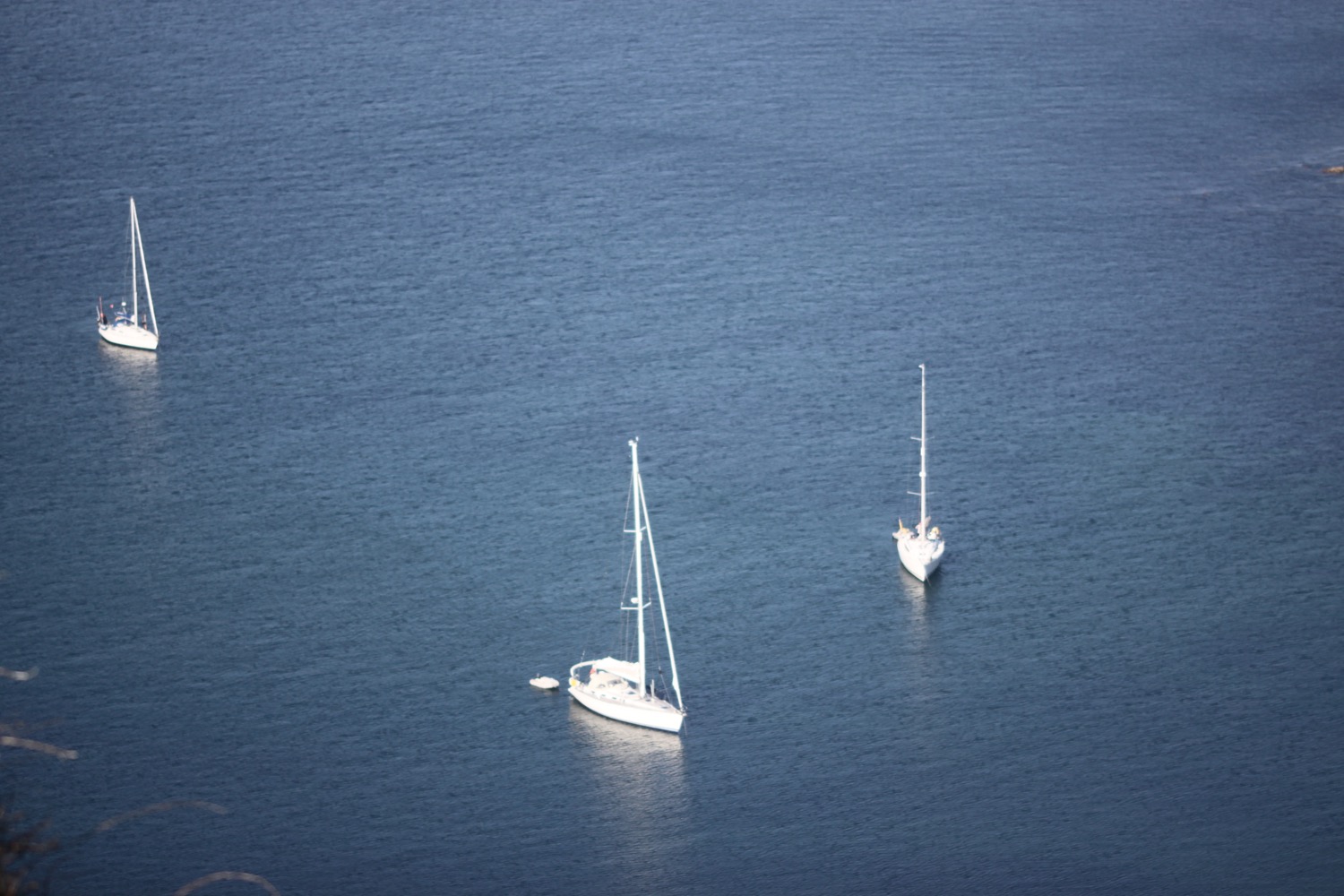
I join a concrete path next to the shore before joining the promenade which takes me into Swanage. I continue along the promenade passing the beaches which are heaving on this glorious day.
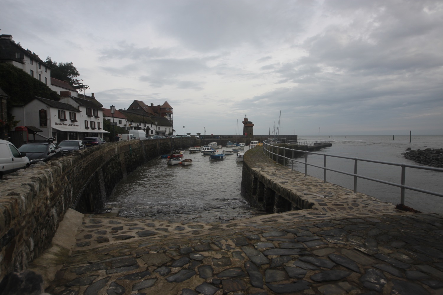
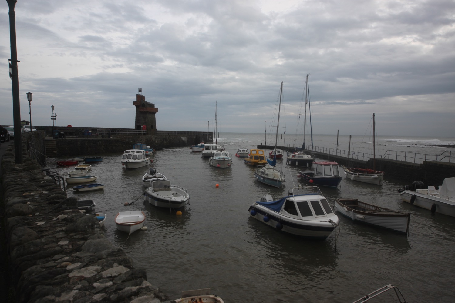
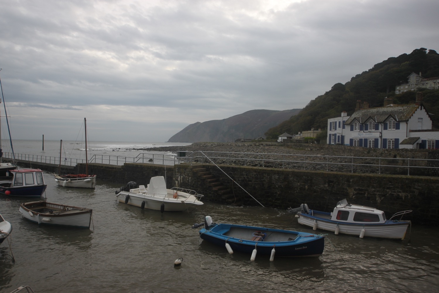
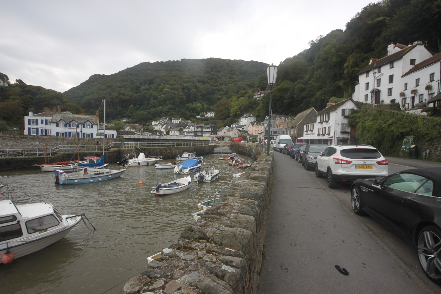
swanage
I end my walk at the clocktower. What a lovely day of walking.
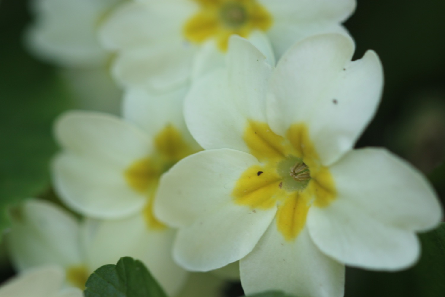
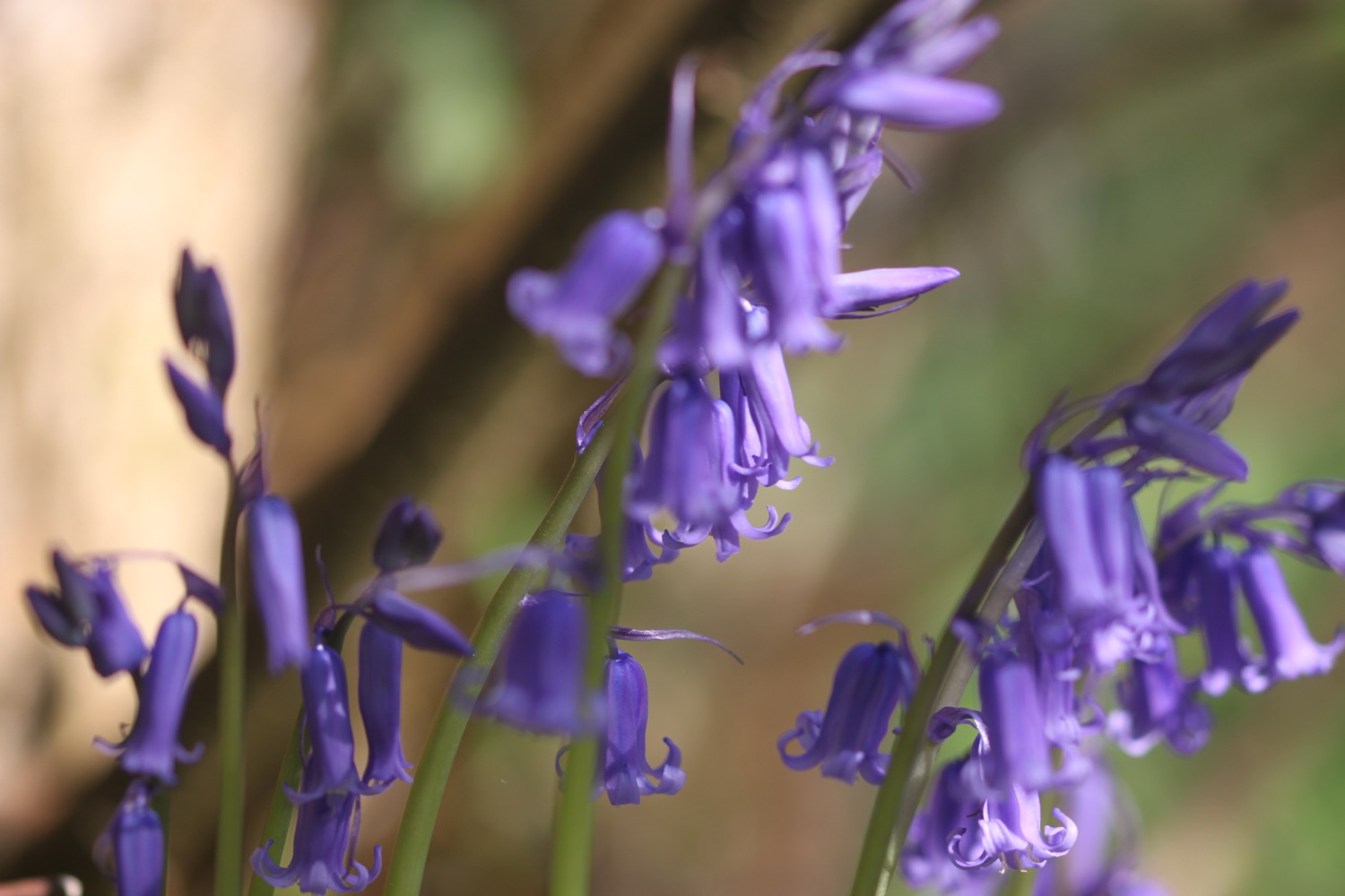
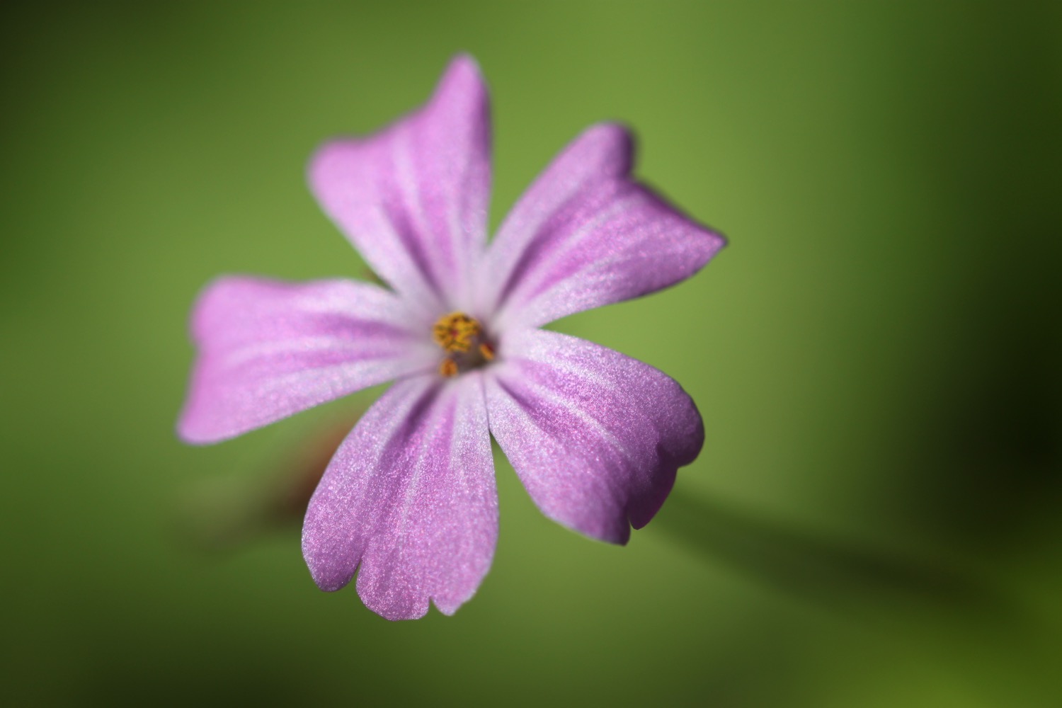
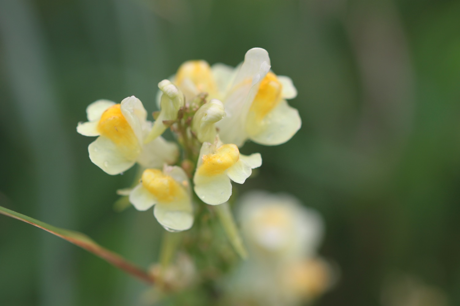
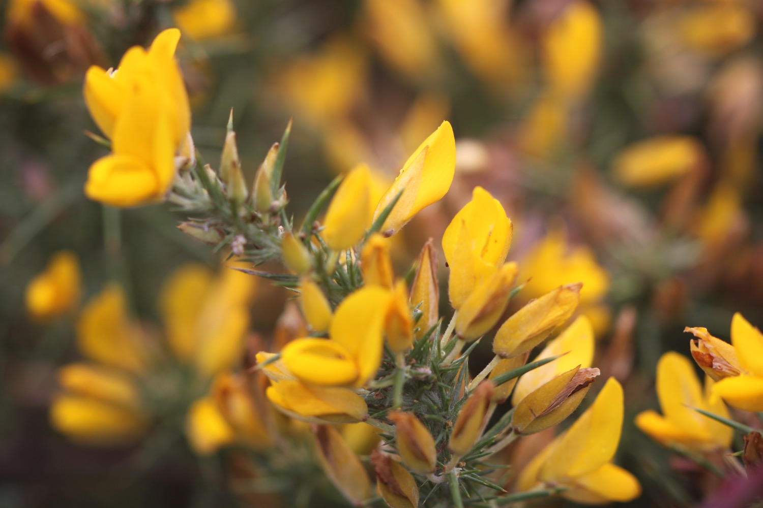
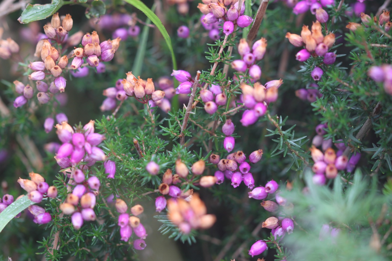
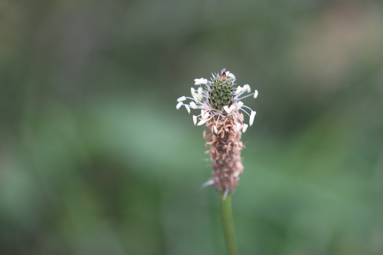
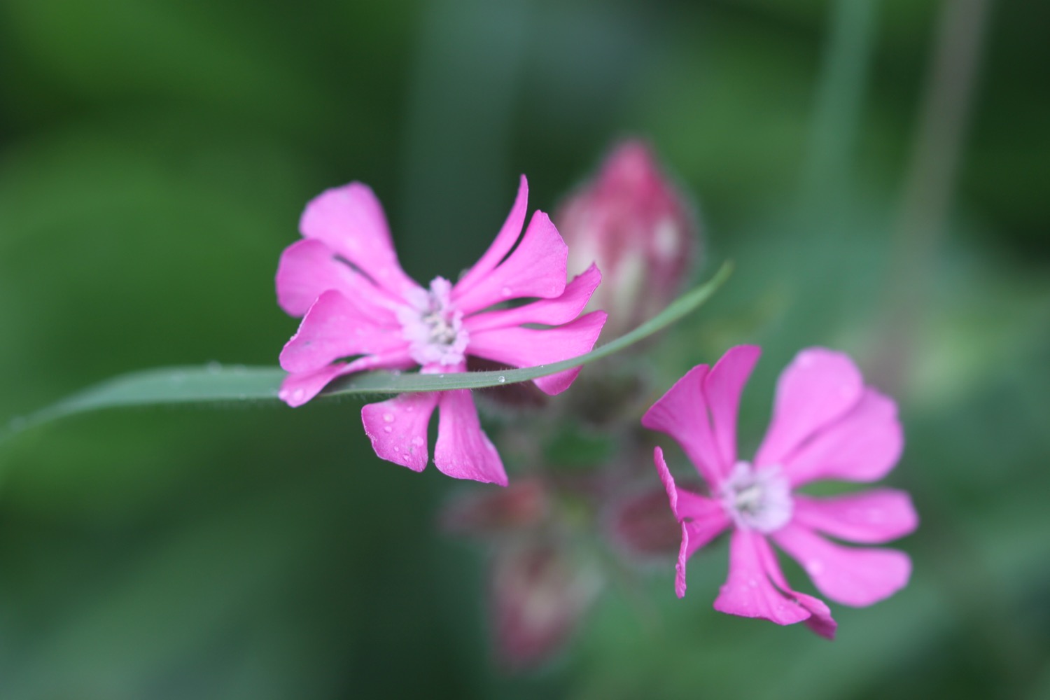
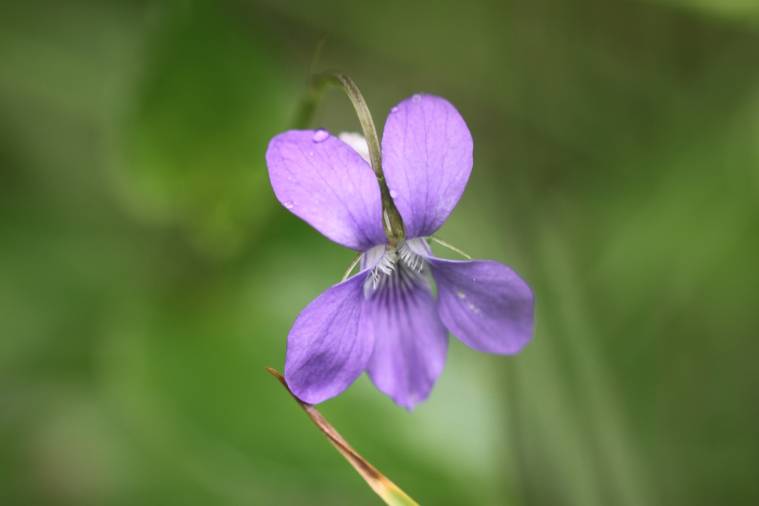
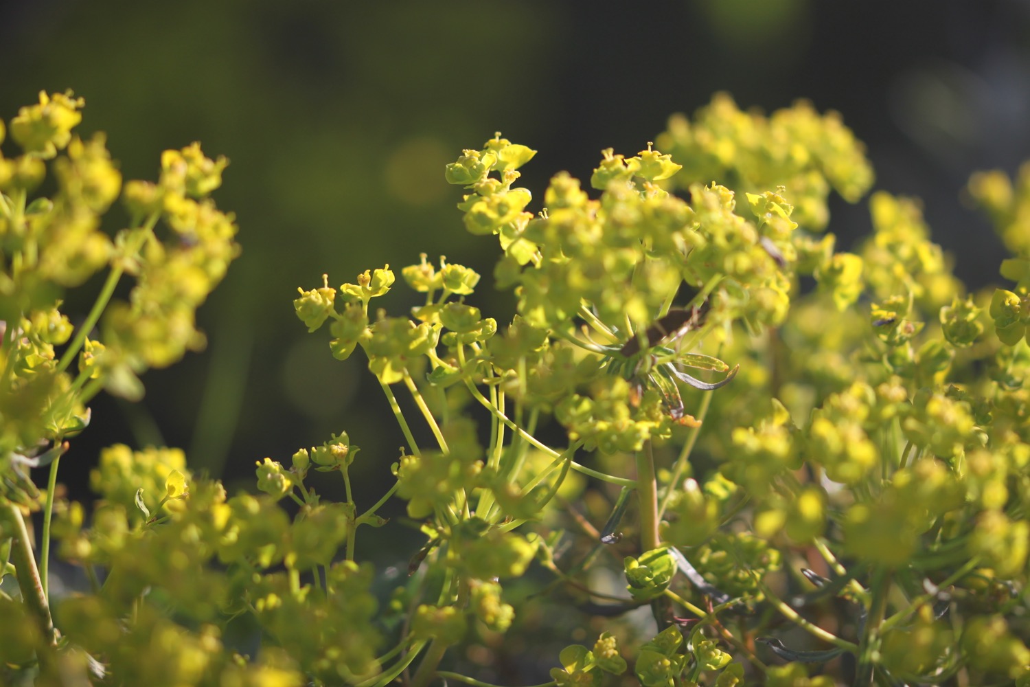
FLORA AND FAUNA
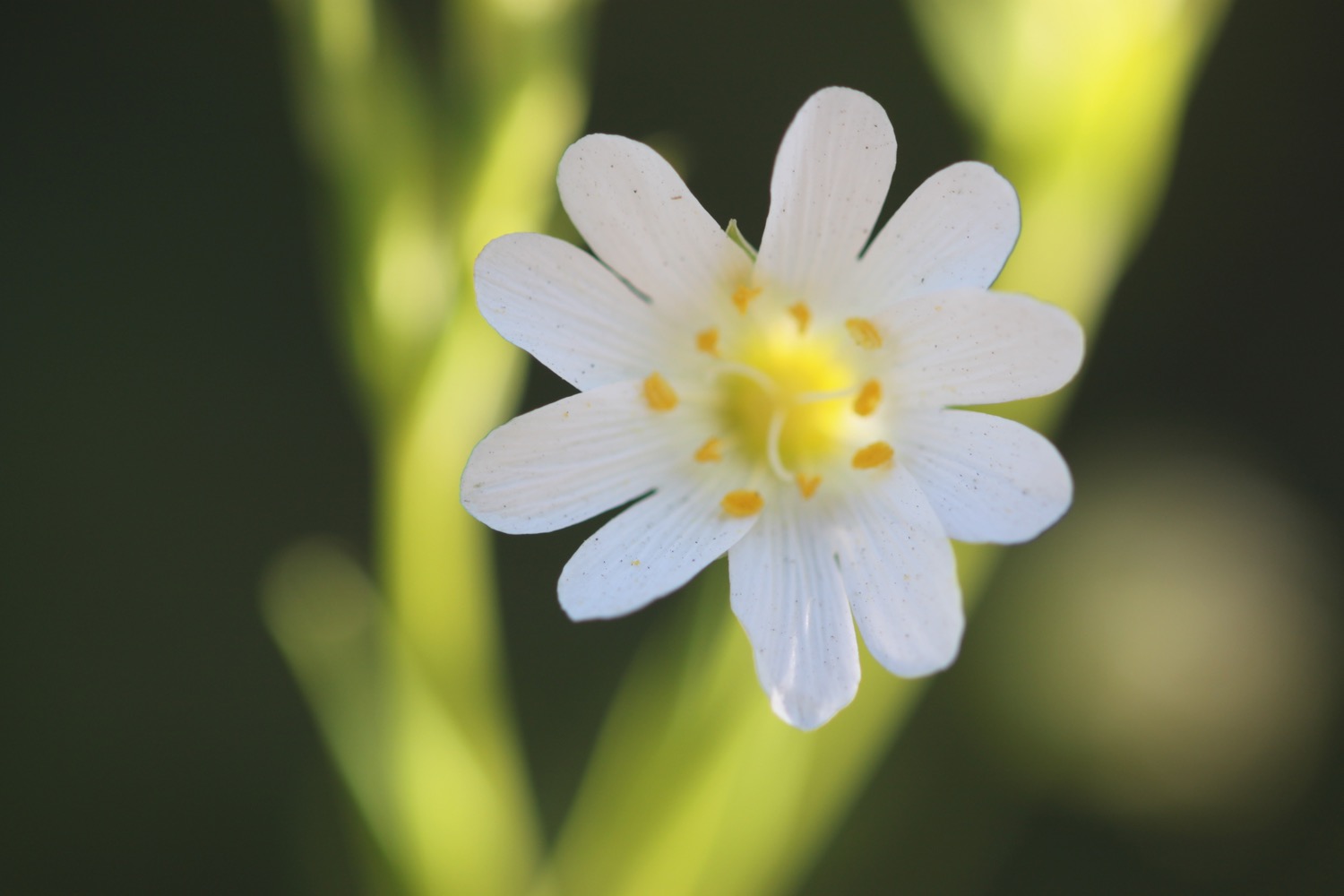
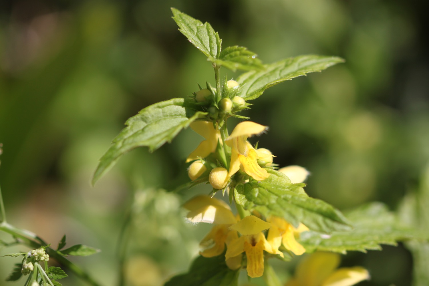
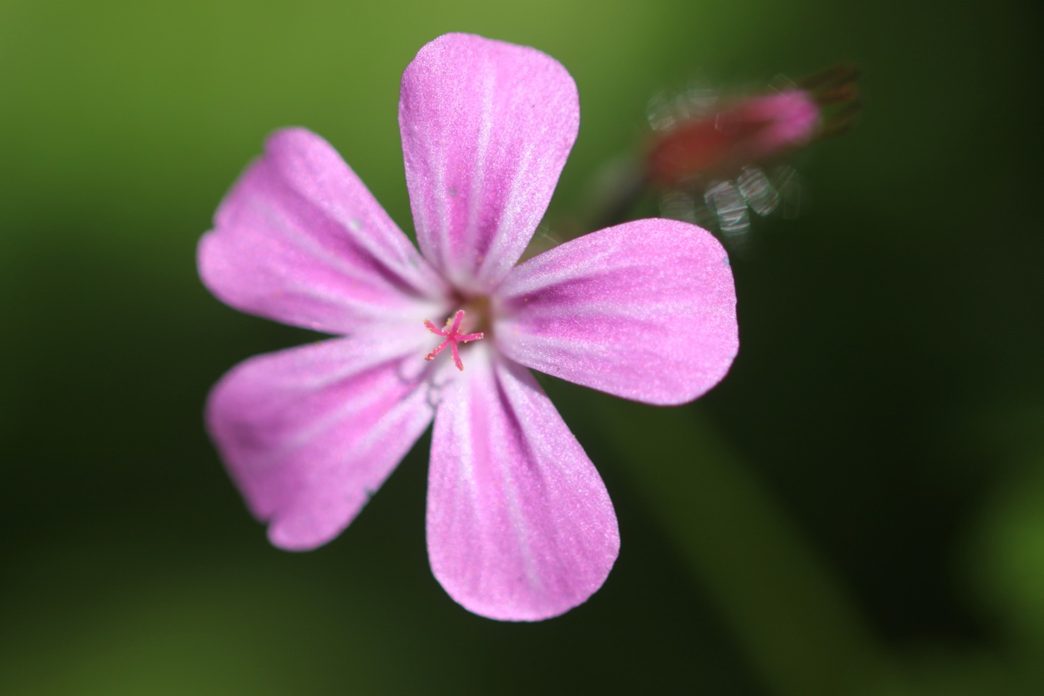
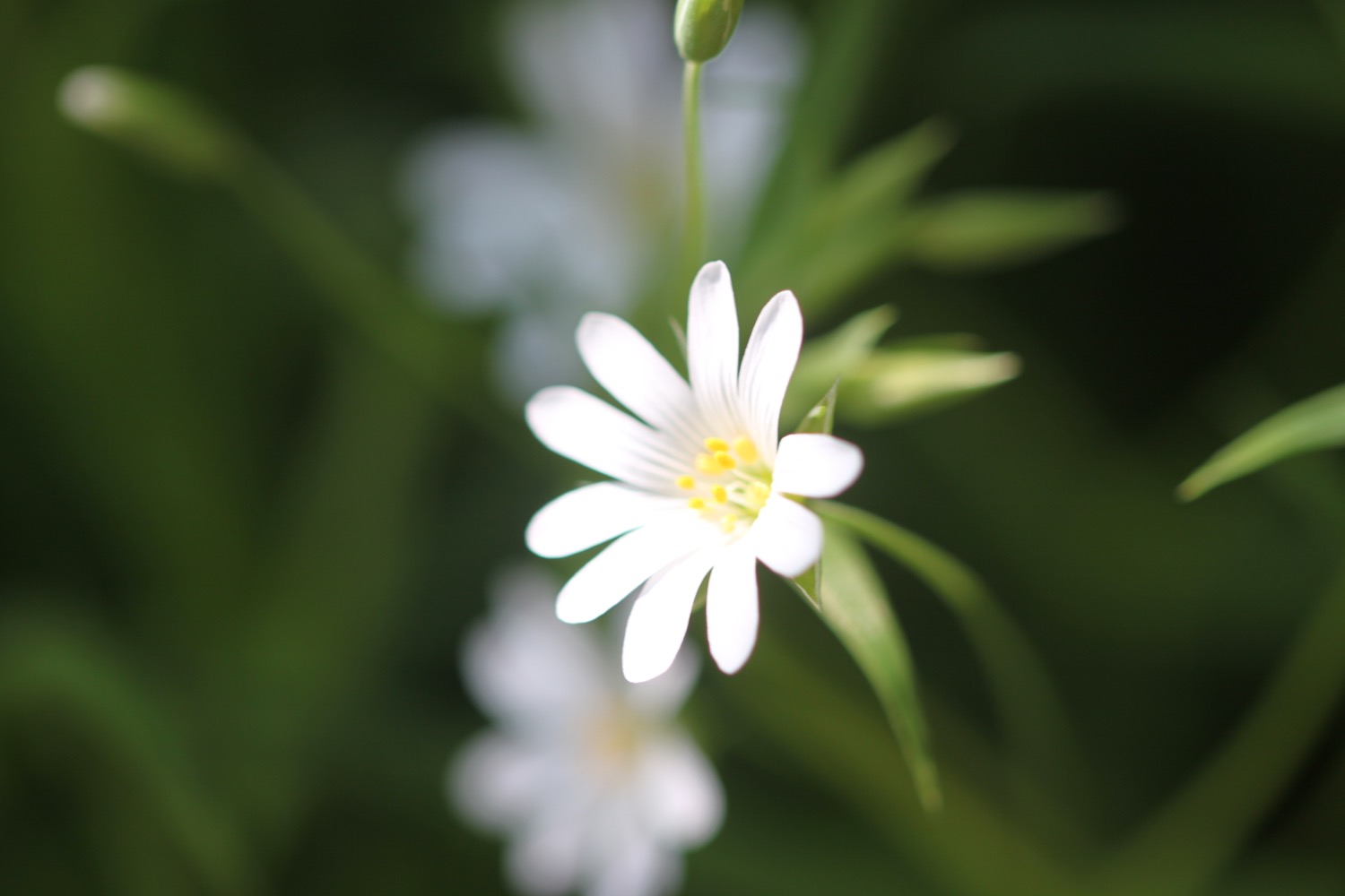
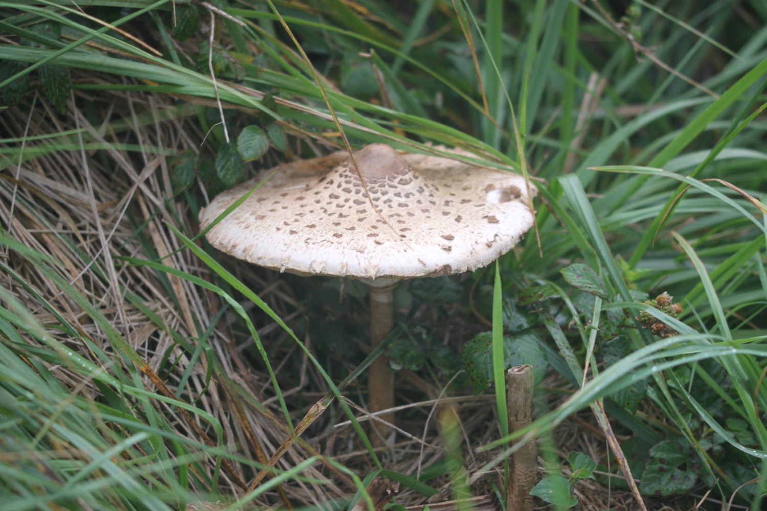
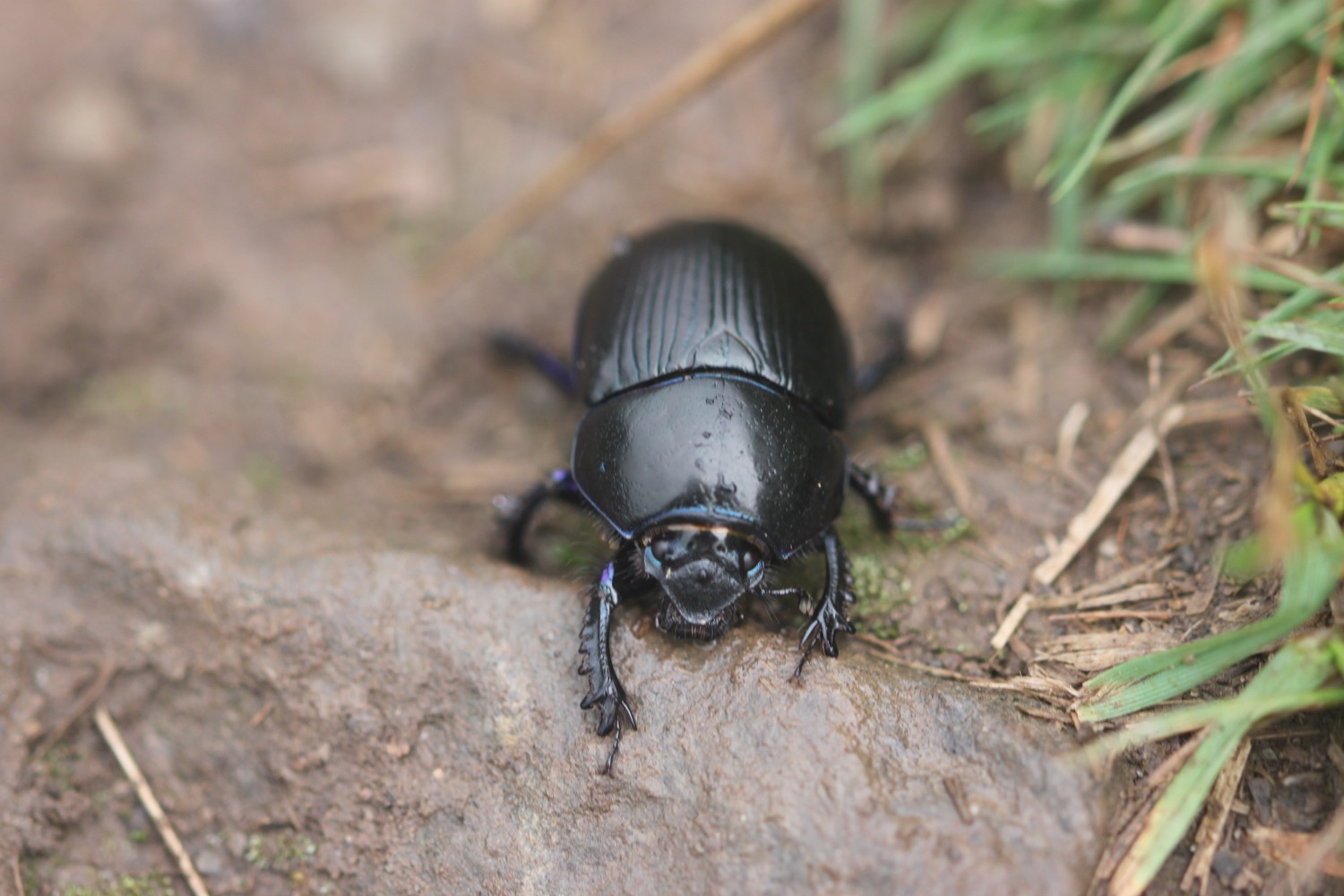
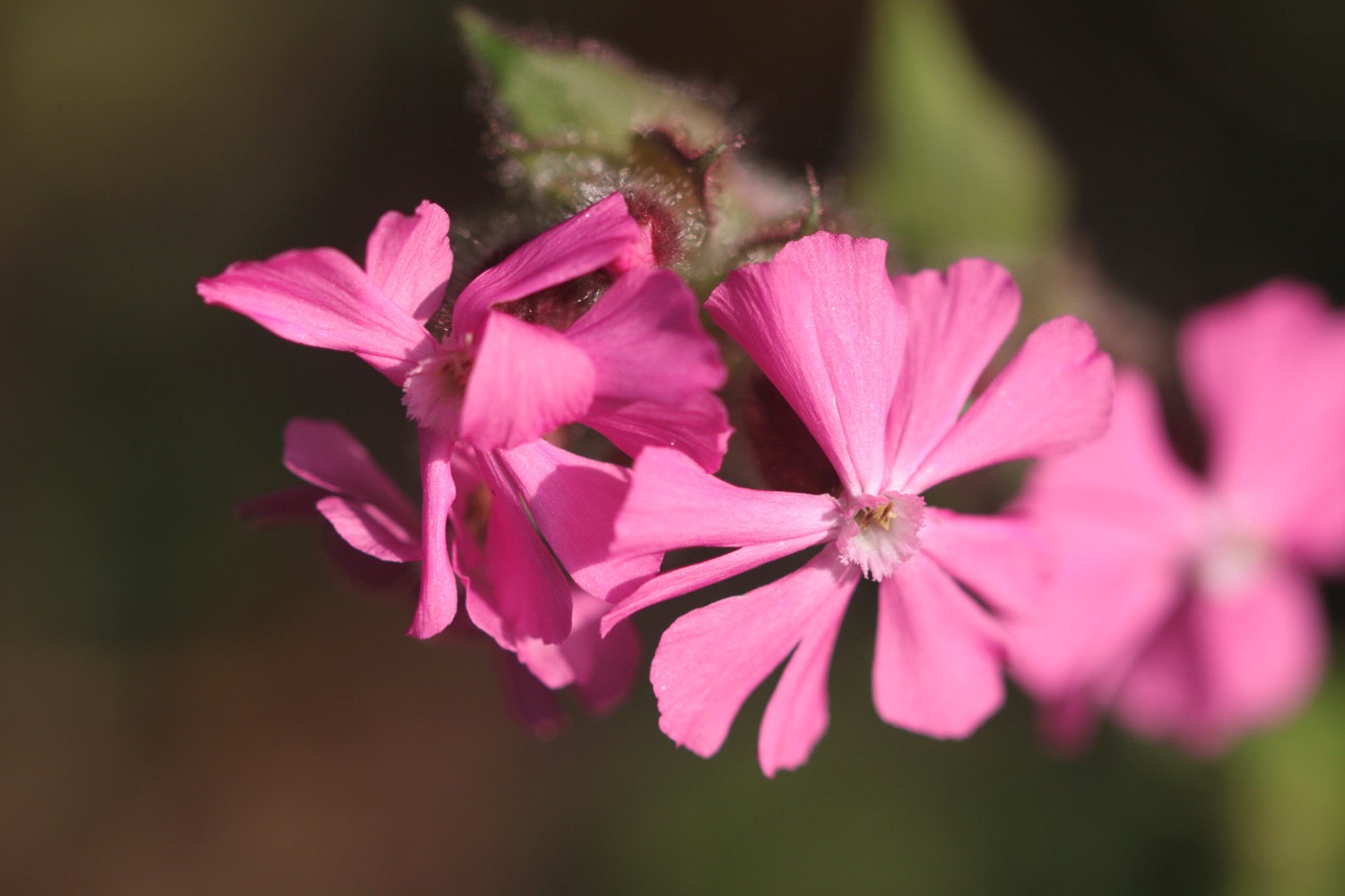
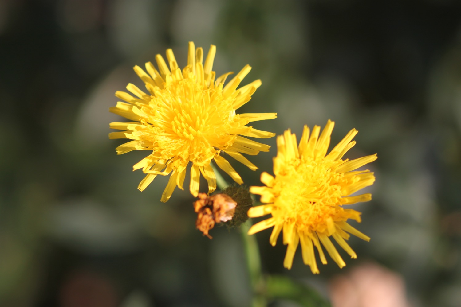
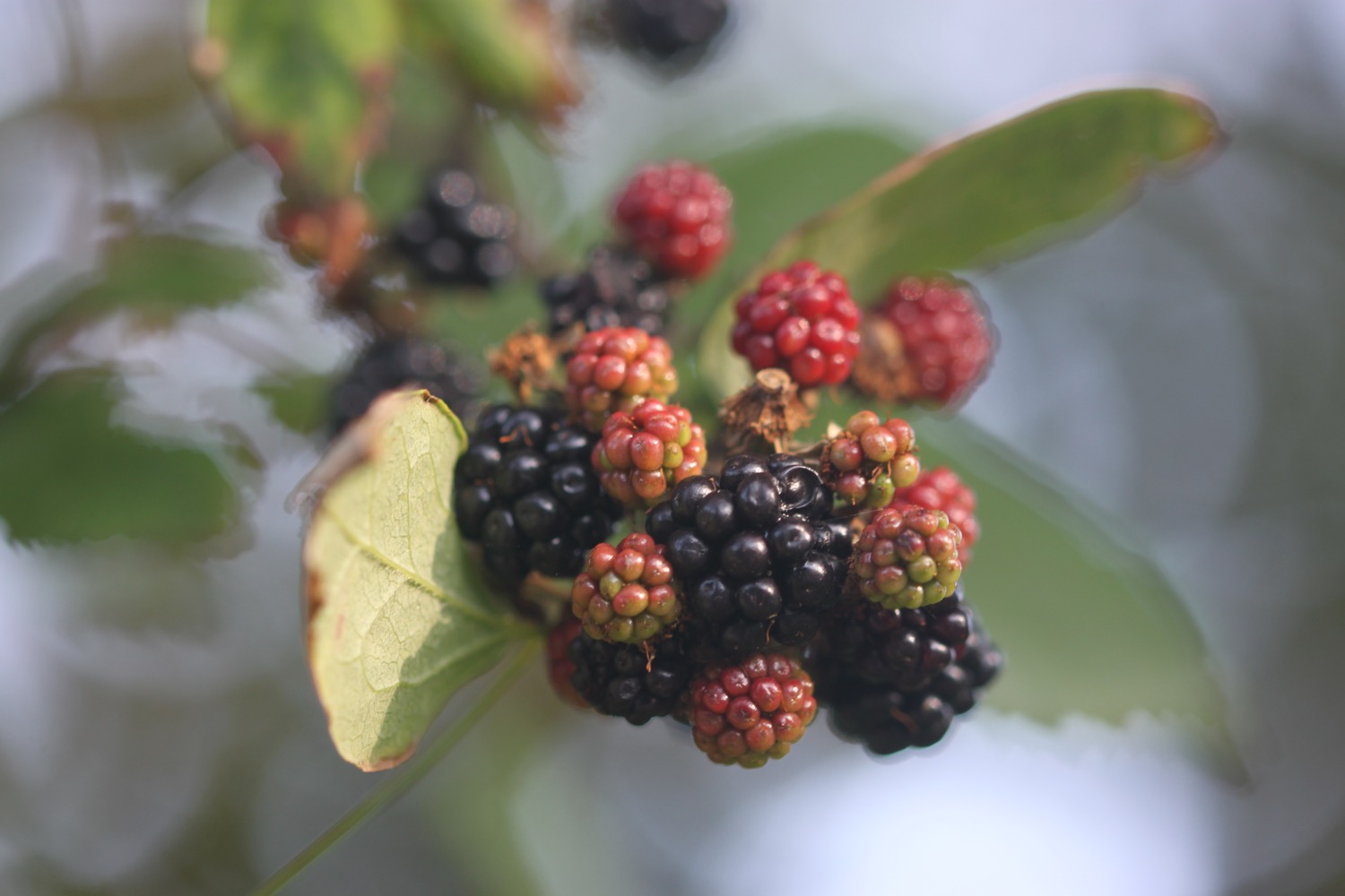
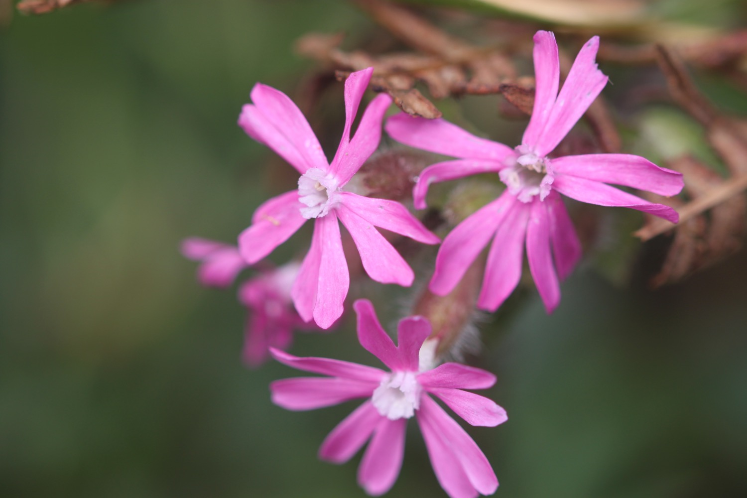
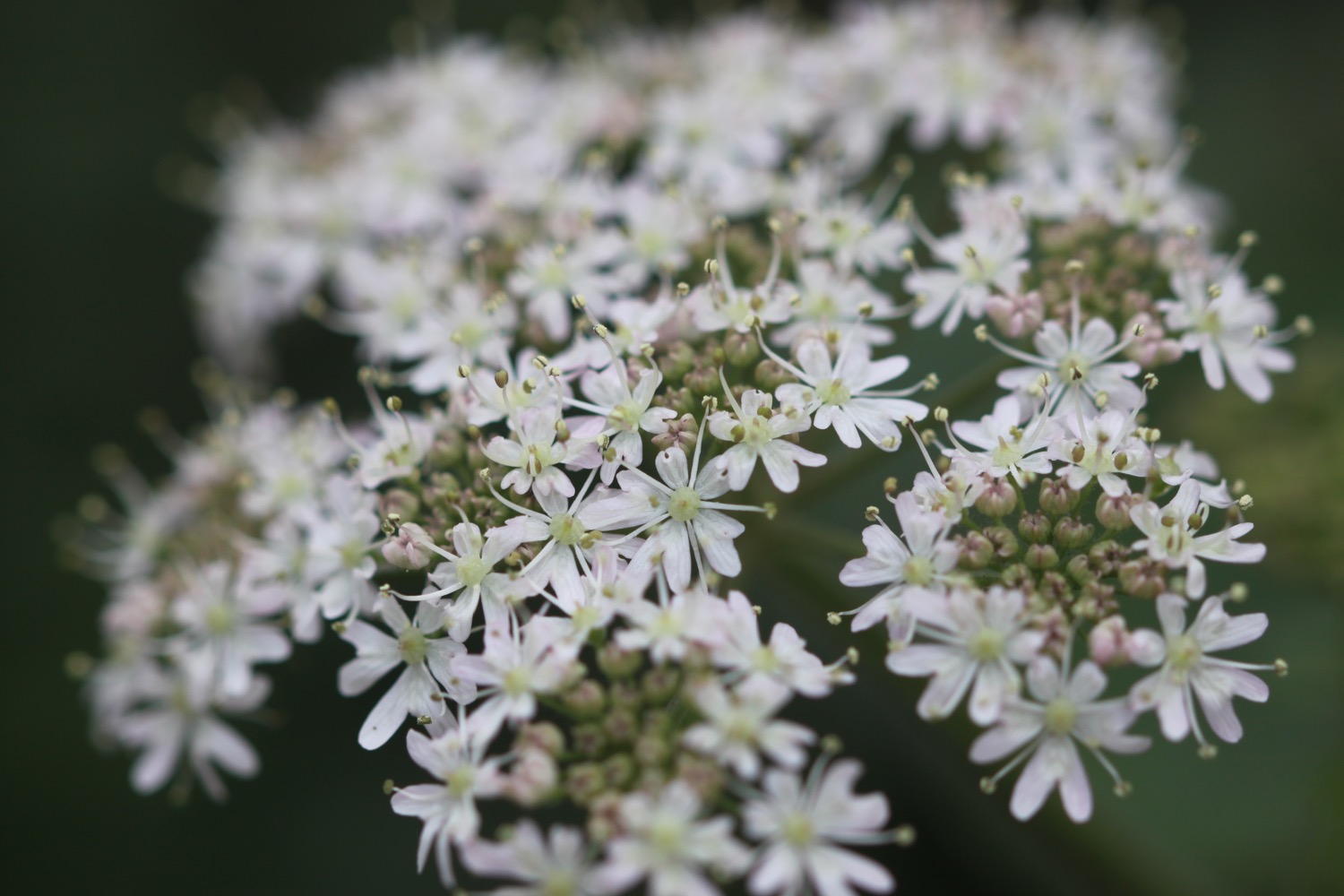
Flora and fauna encountered on the walk today includes :-
- robins
- pied wagtails
- dunnocks
- a hare
- skylarks
- wrens
- speckled wood butterflies
- roe deer
- peacock butterflies
- red admiral butterflies
- lizards
- swallows
- chaffinches
- swifts
- stonechats
- loads of caterpillars
- oystercatchers

PODCAST
The podcast of today's walk is now available. You can subscribe via the iTunes store or listen using the player below.

MARKS OUT OF TEN?
According to my phone I've walked 11.2 miles today which amounts to 25595 steps. It has been another beautiful day's walking today. Nine out of ten!
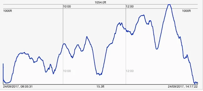
Hmmm. My Ordnance Survey app is definitely playing up and the graph doesn't look anything like today's walk. The total ascent today has been a miserly 13 feet or 4 metres. Seriously Ordnance Survey! I know it has been a relatively gentle walk but 13 feet!!

This graph is much more like today's walk so I guess my total ascent has been 767 feet :-

MAP
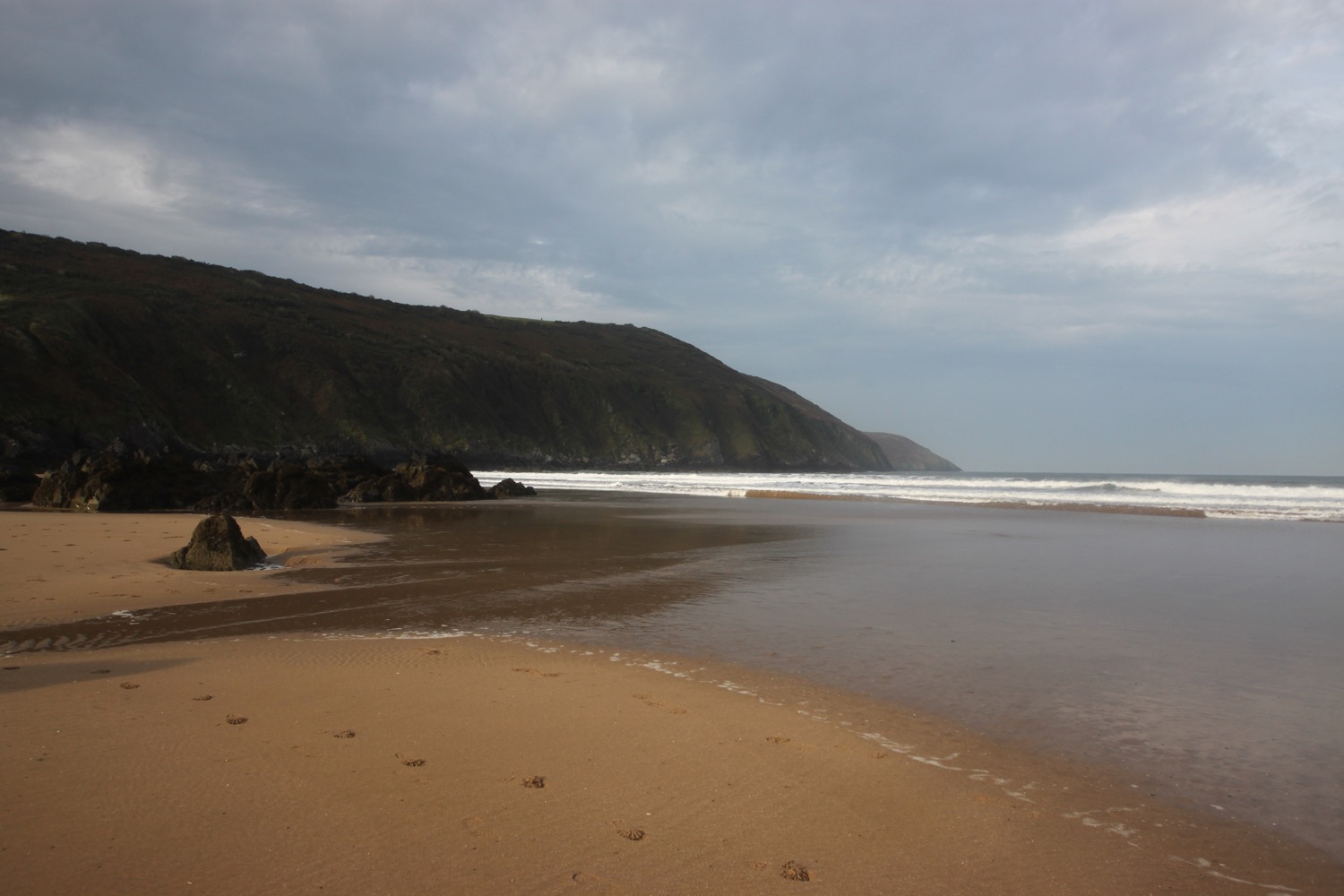
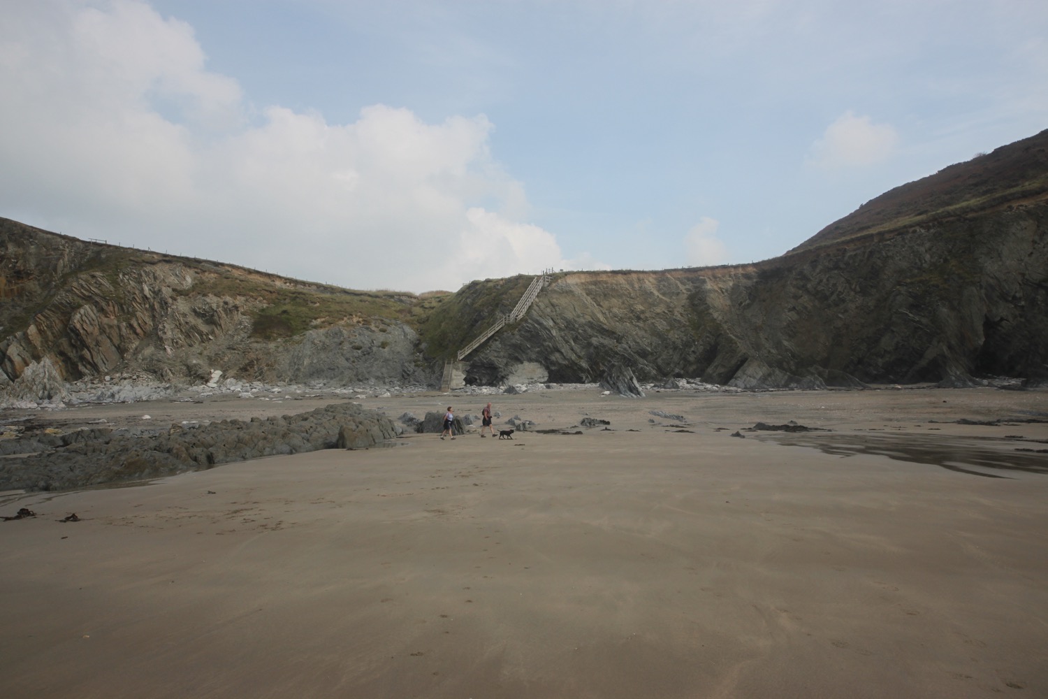
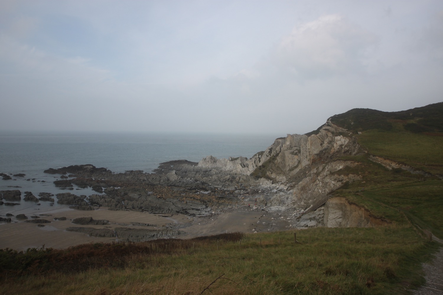
chapman's pool
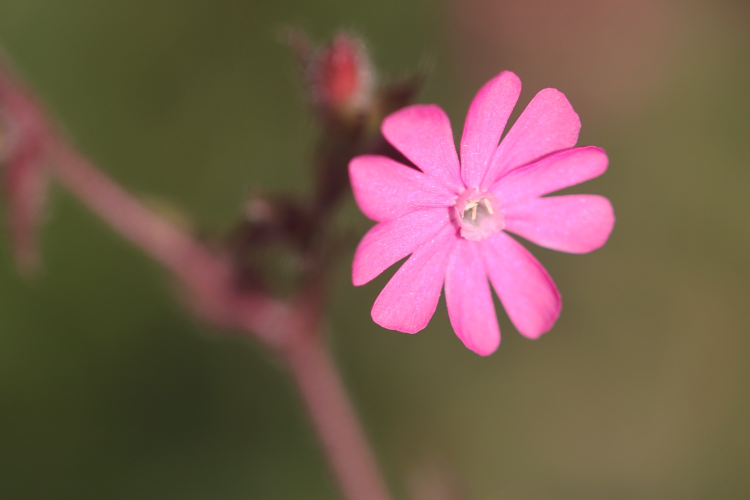
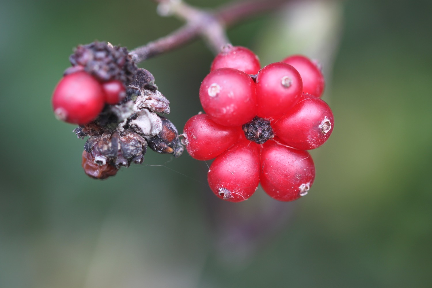
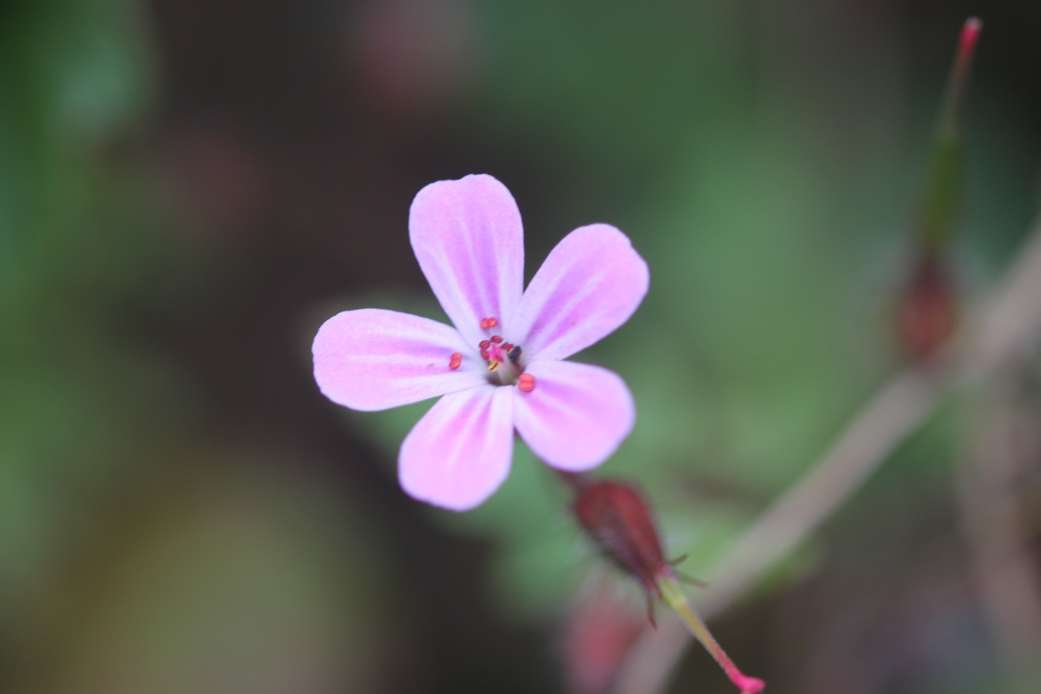
early spider orchid
swanage