woodbury castle to exmouth
east devon way
monDAY, 5TH june 2023
Start location: Woodbury Castle (SY032872)
End point: Exmouth (SX999811)
Map: Explorer 115
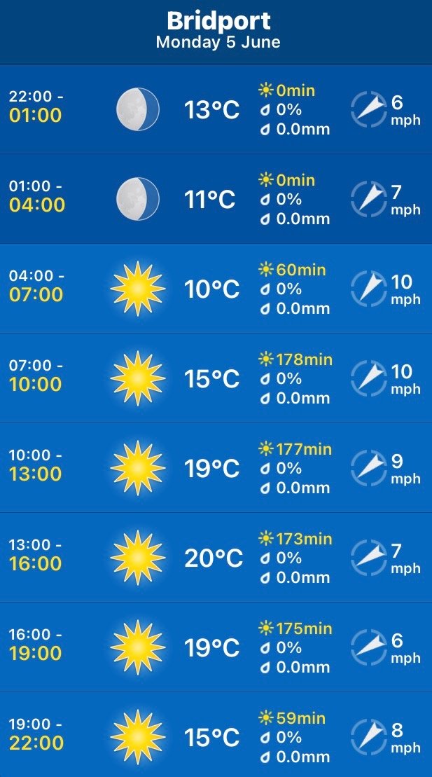
The weather forecast for the entire week continues to look fantastic. Today should be sunny and warm all day long.
Although I will only get glimpses of the sea today I’ll include the tide times for Exmouth Dock.
Exmouth Dock high tide 08:18
Exmouth Dock low tide 14:23

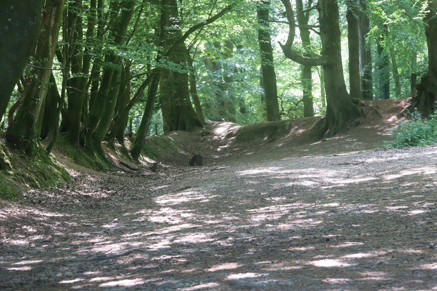
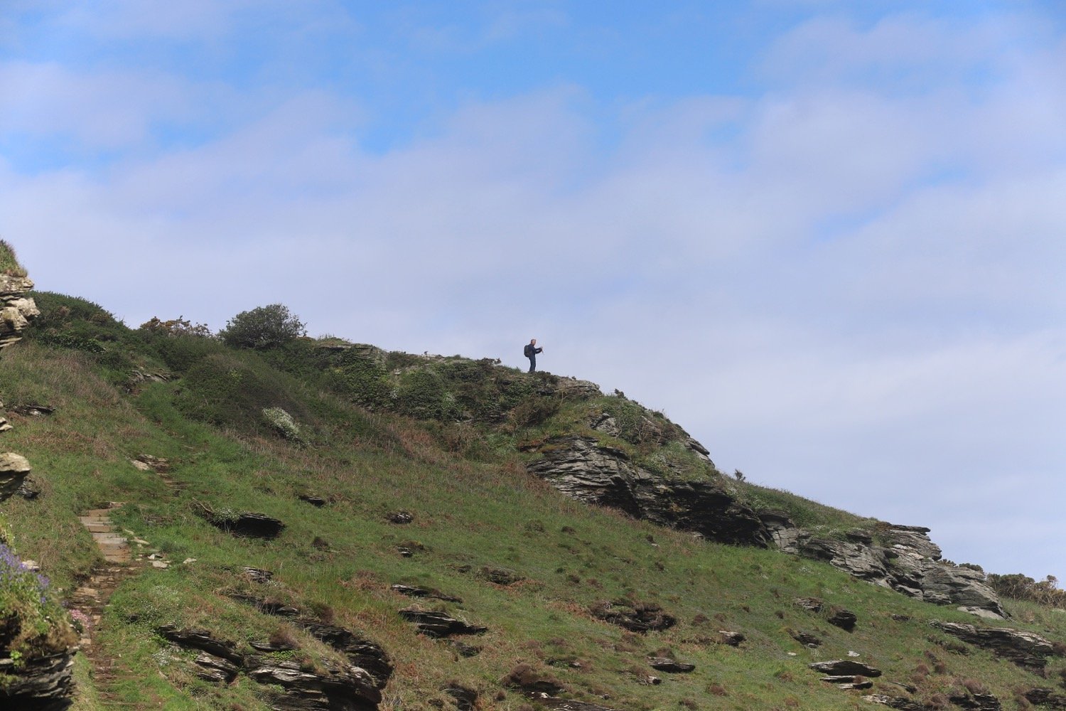
I start the day back at the car park at Woodbury Castle and cross over the road to Estuary View car park to see what the view is actually like. There are a load of bushes in the way but I can see where I’ll be walking for the rest of the day.
estuary view
woodbury castle car park
estuary view car park
I return to Woodbury Castle car park and follow the fingerpost to Exmouth on the south side of the car park. I follow a track south, keeping the A3180 road on my right.
fingerpost
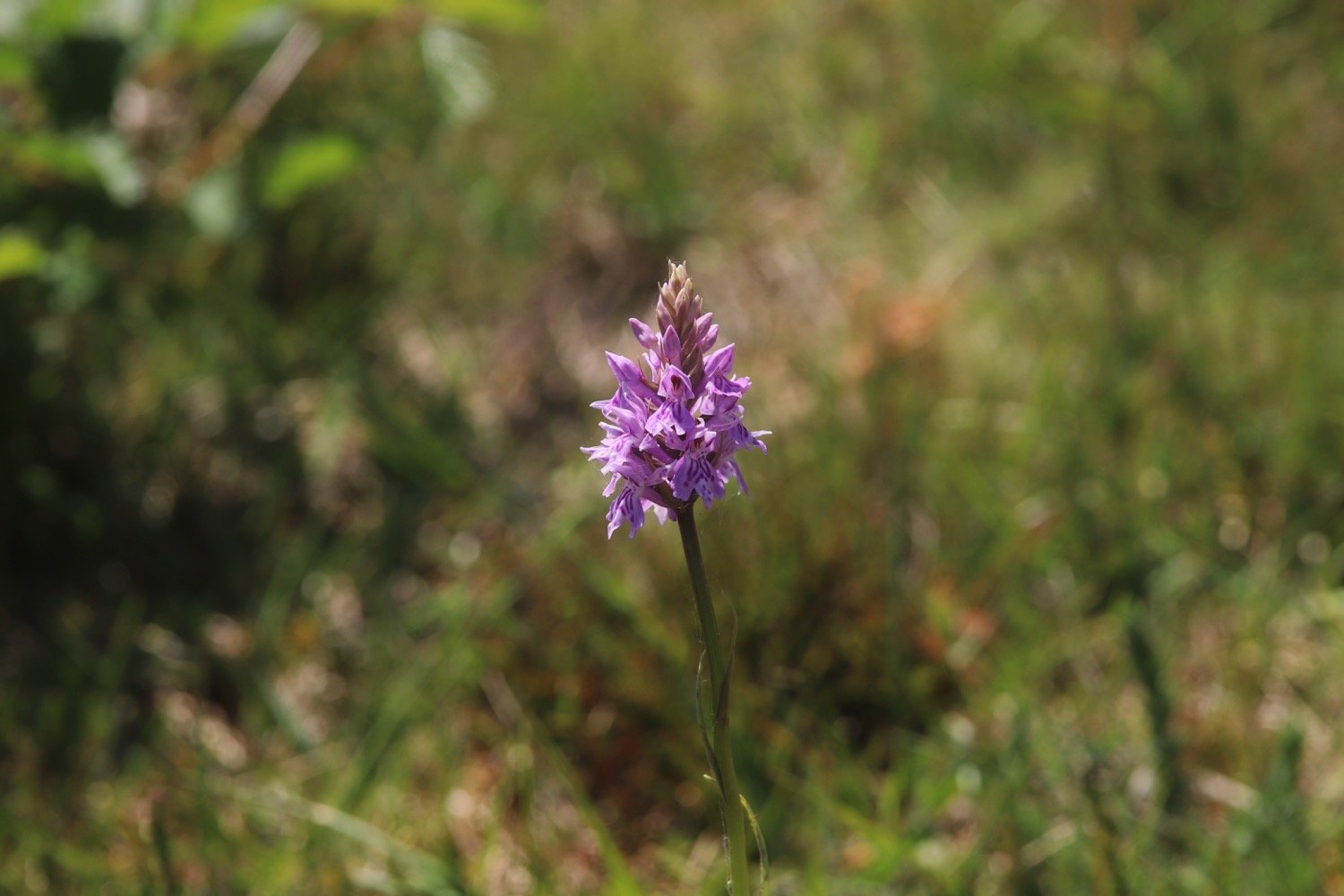
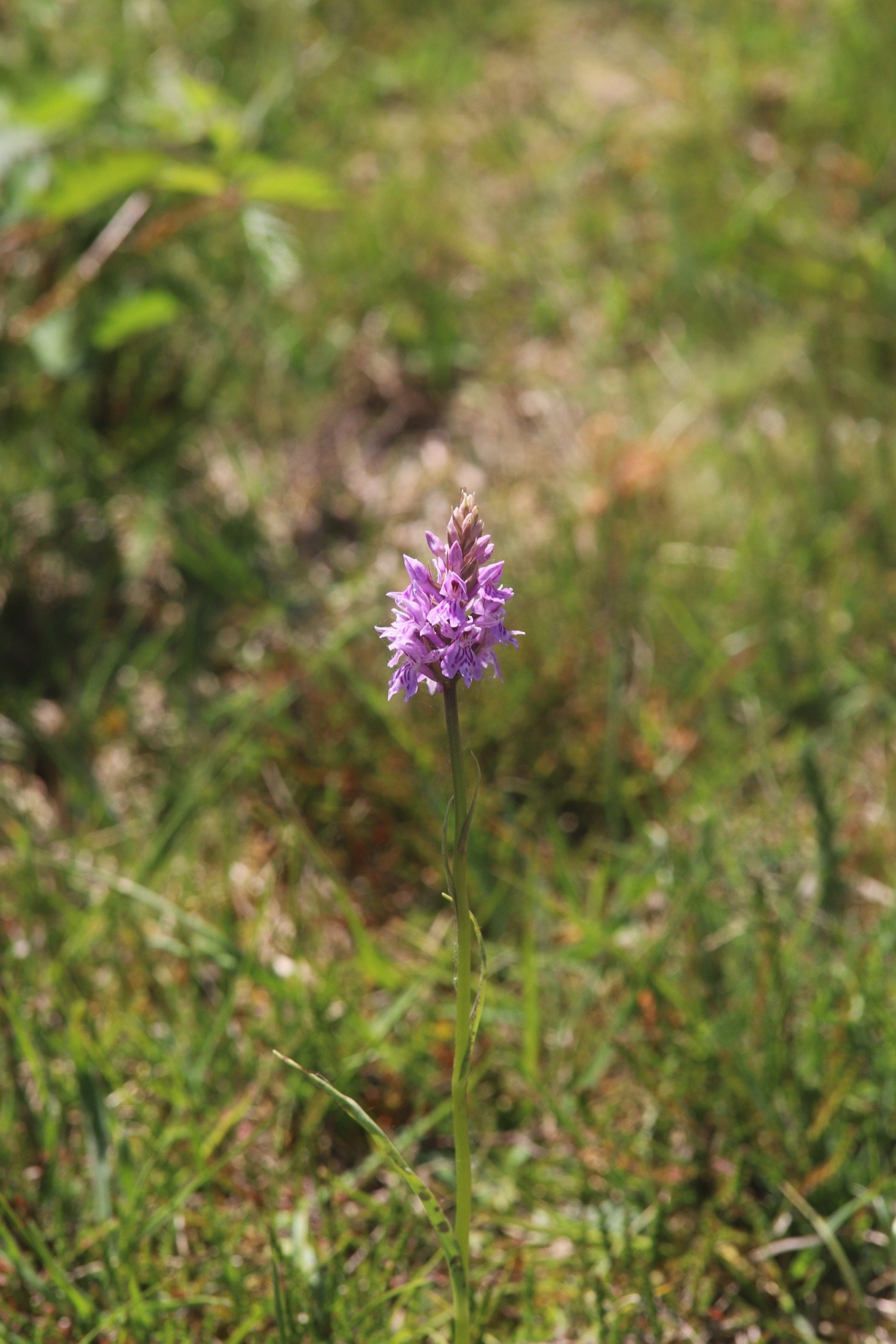
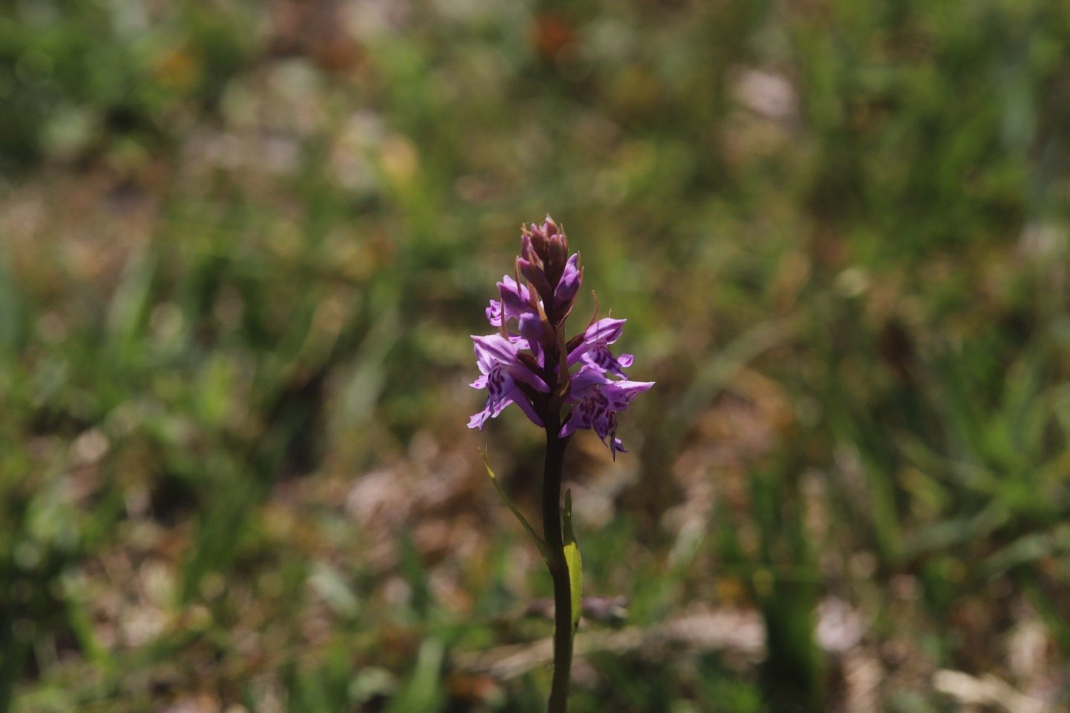
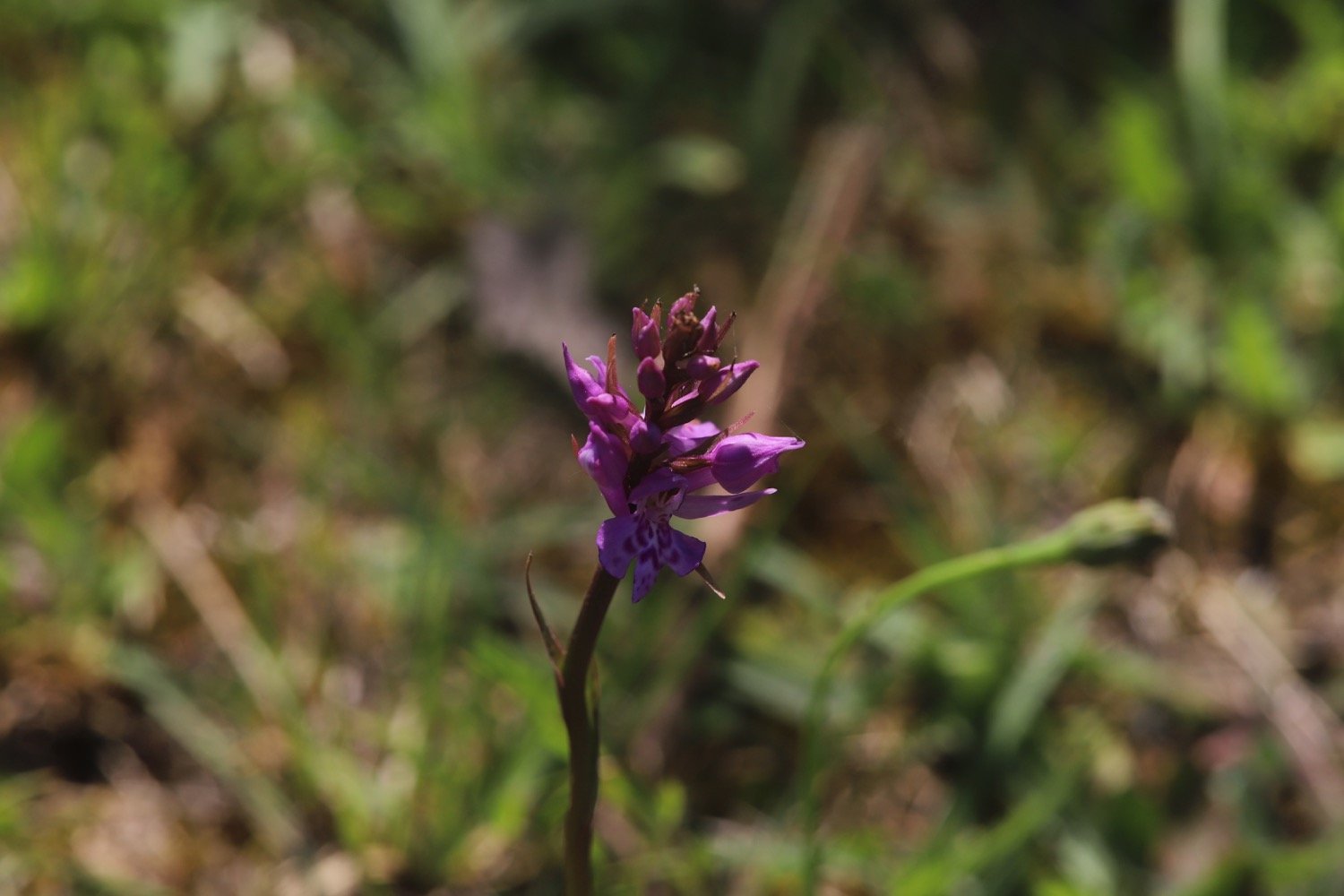
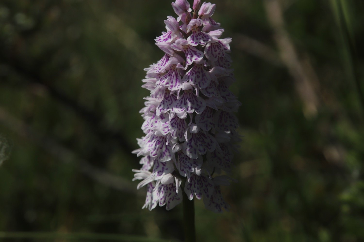
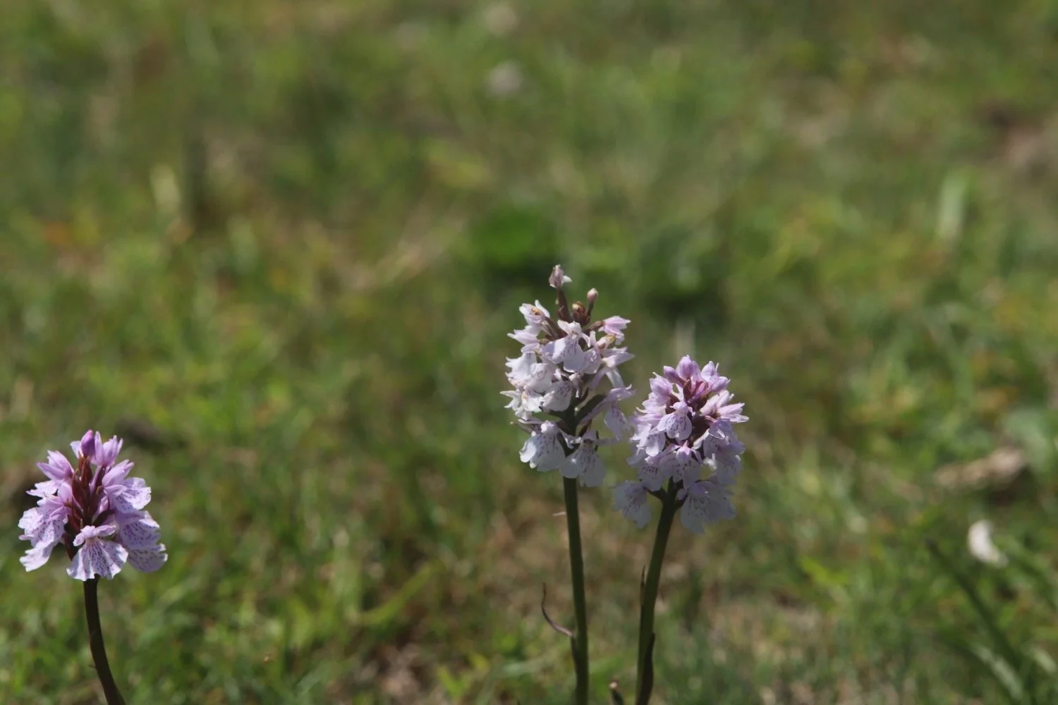
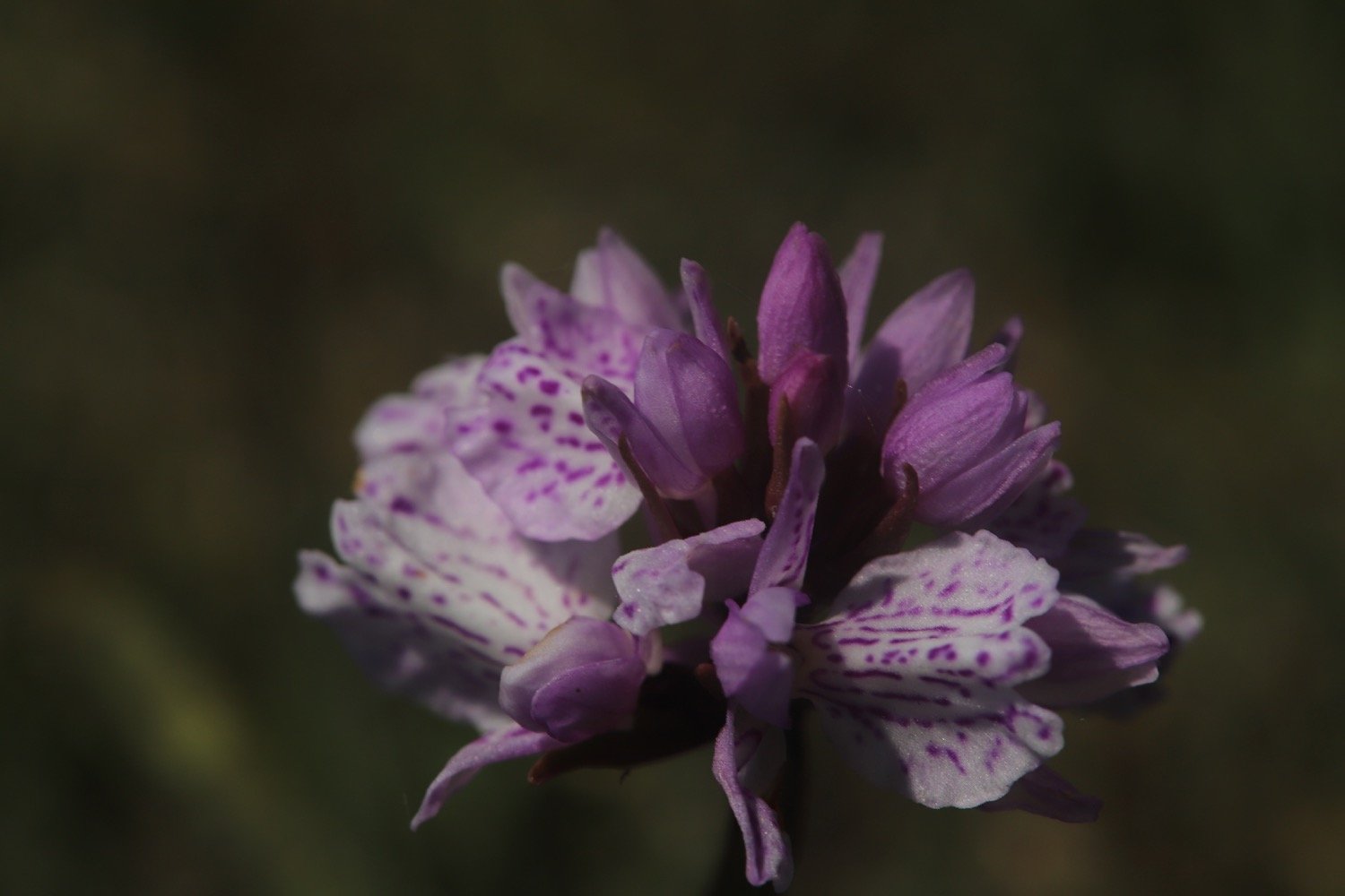
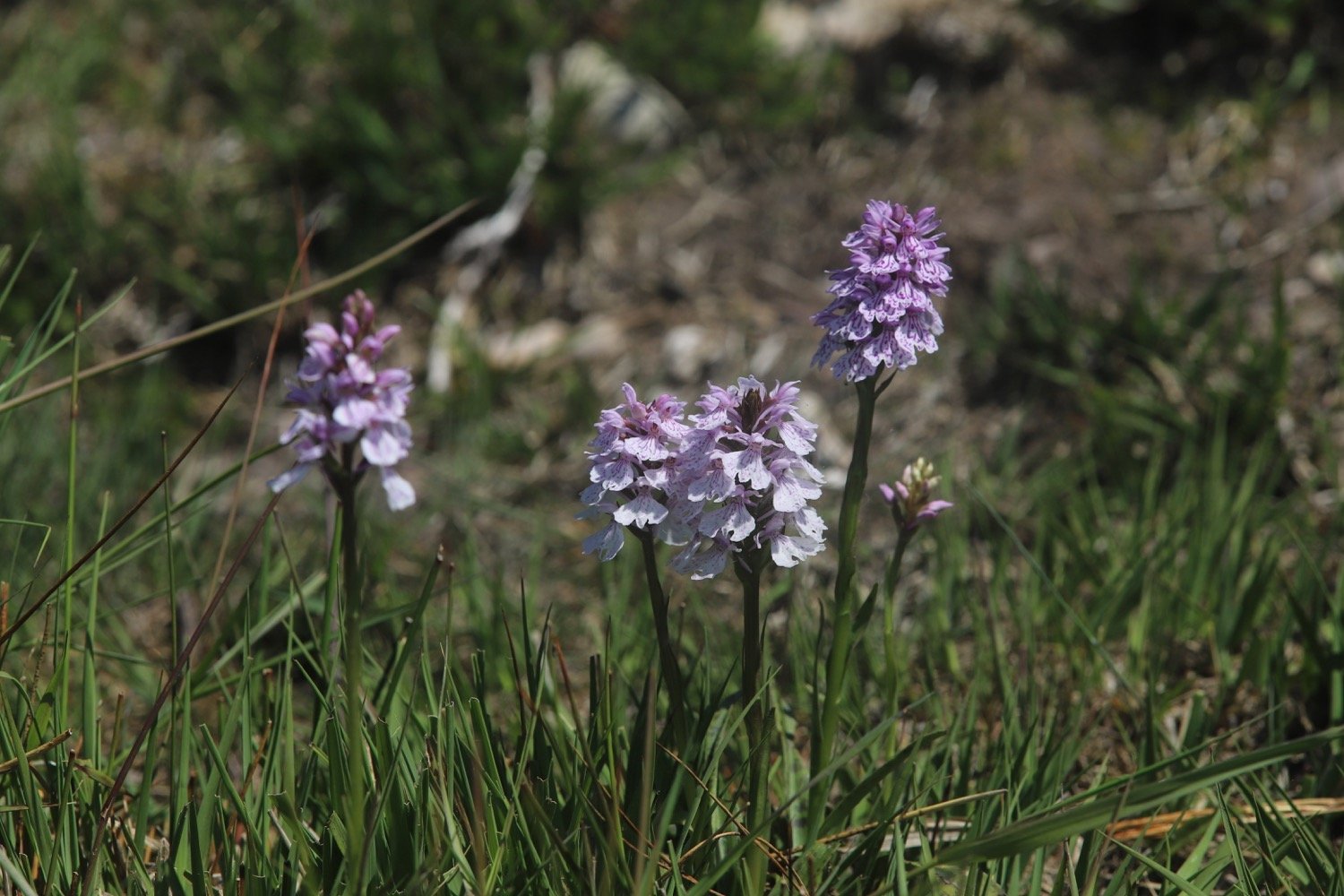
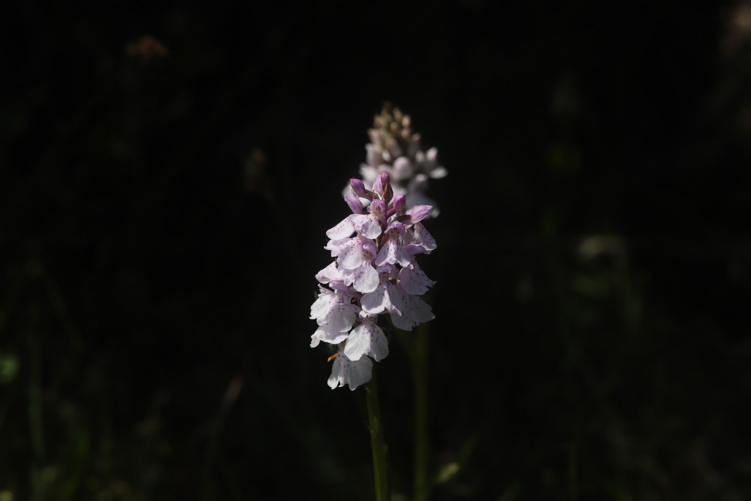
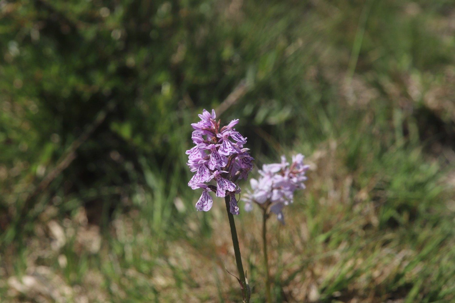
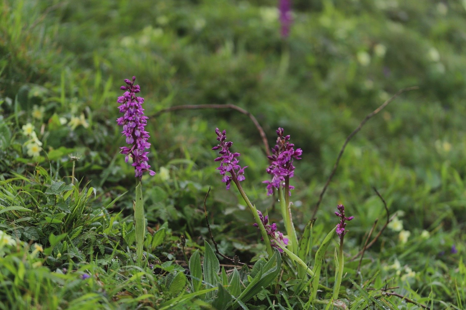
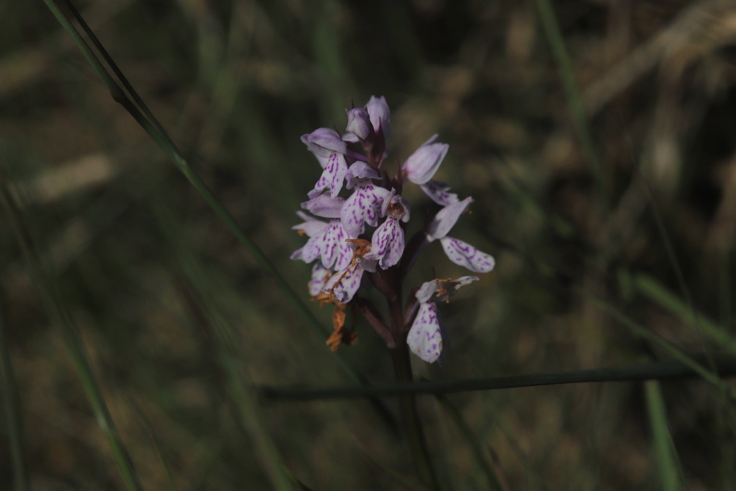
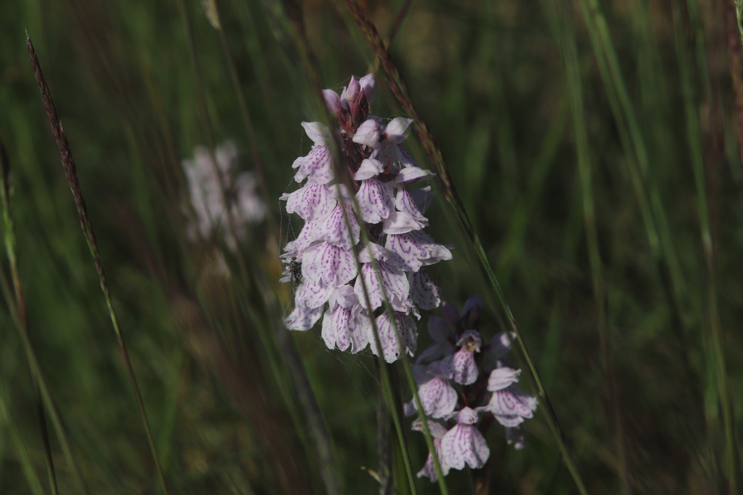
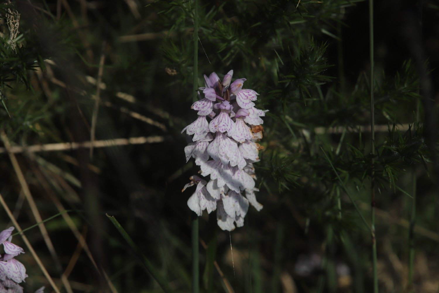
I almost immediately come across common spotted orchids on the side of the track.
I go straight over a lane into a car park near Four Firs crossroads.
four firs car park
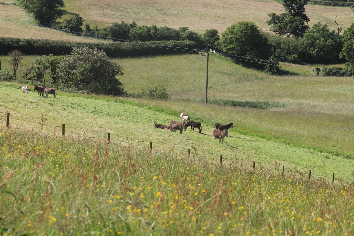
I turn right in this car park through a wooden gate into an area of conservation grazing, following the path through heathland. I bear right and follow the track uphill aiming for a gap in the conifers on the brow of the hill.
gap in conifers
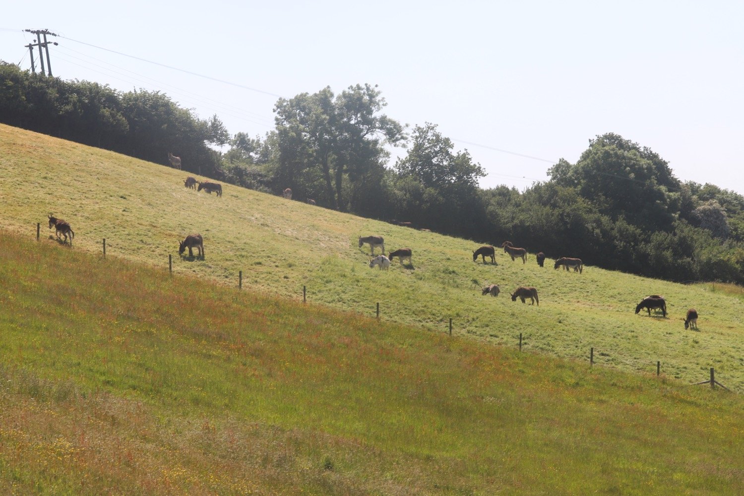
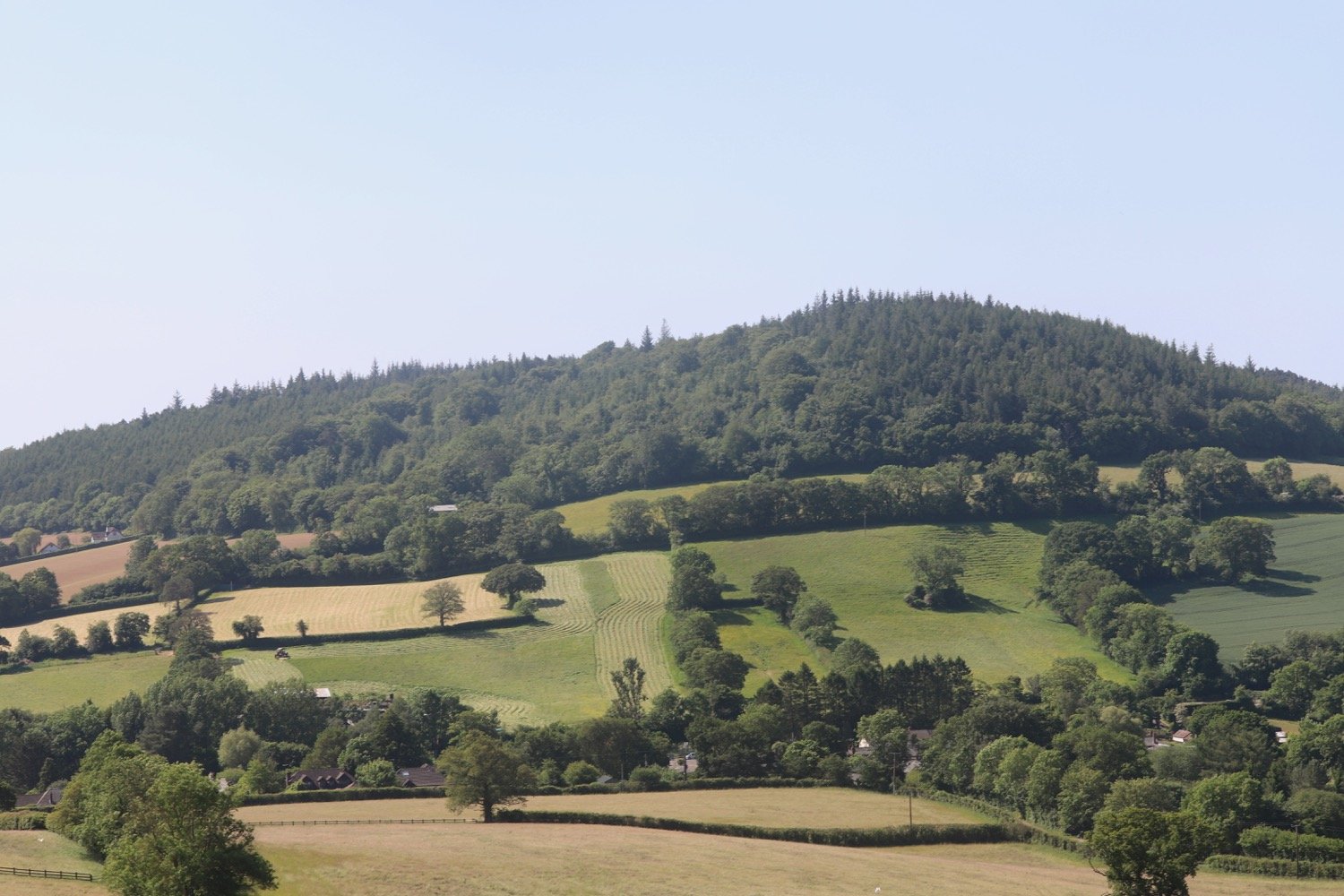
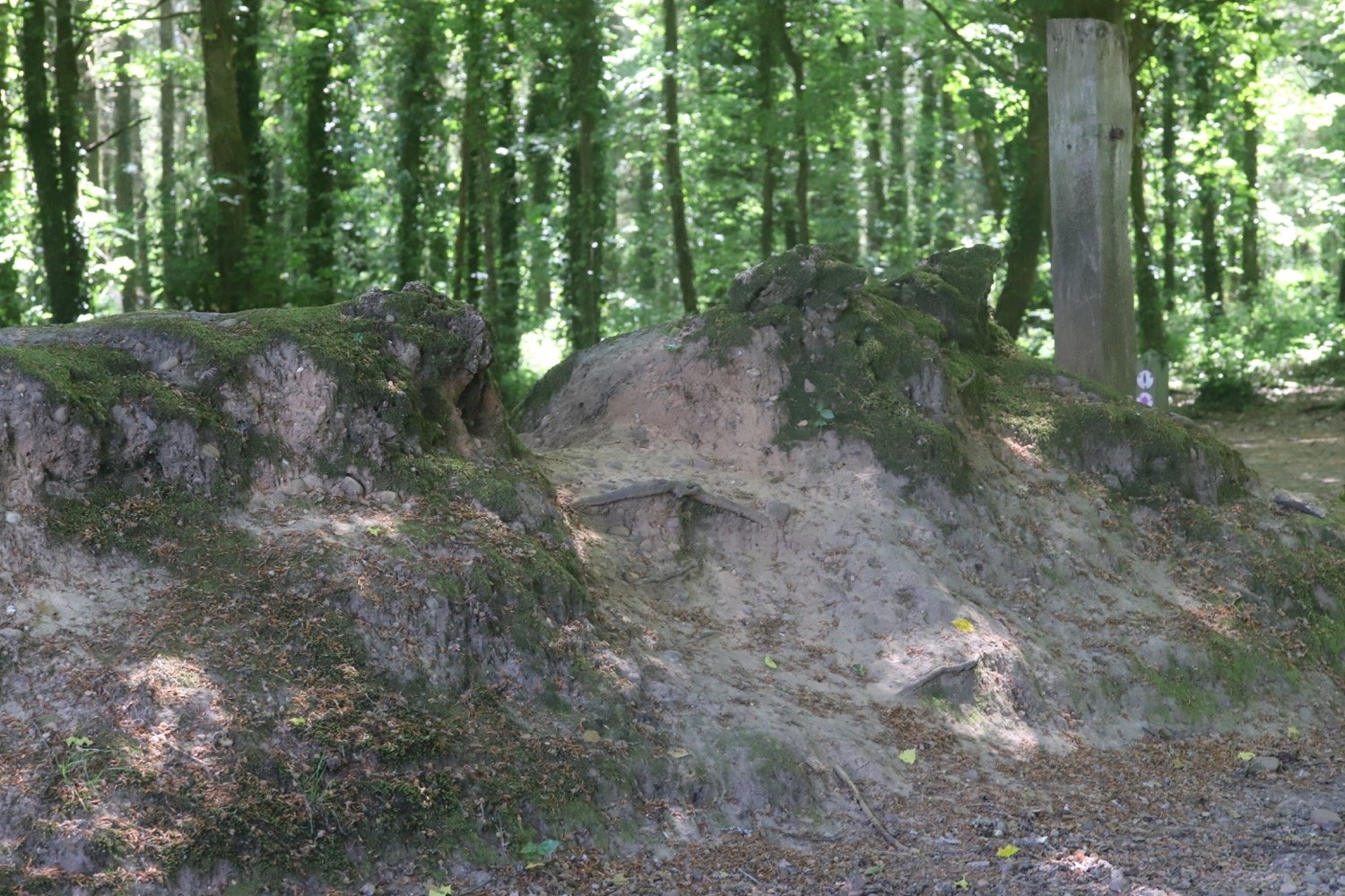
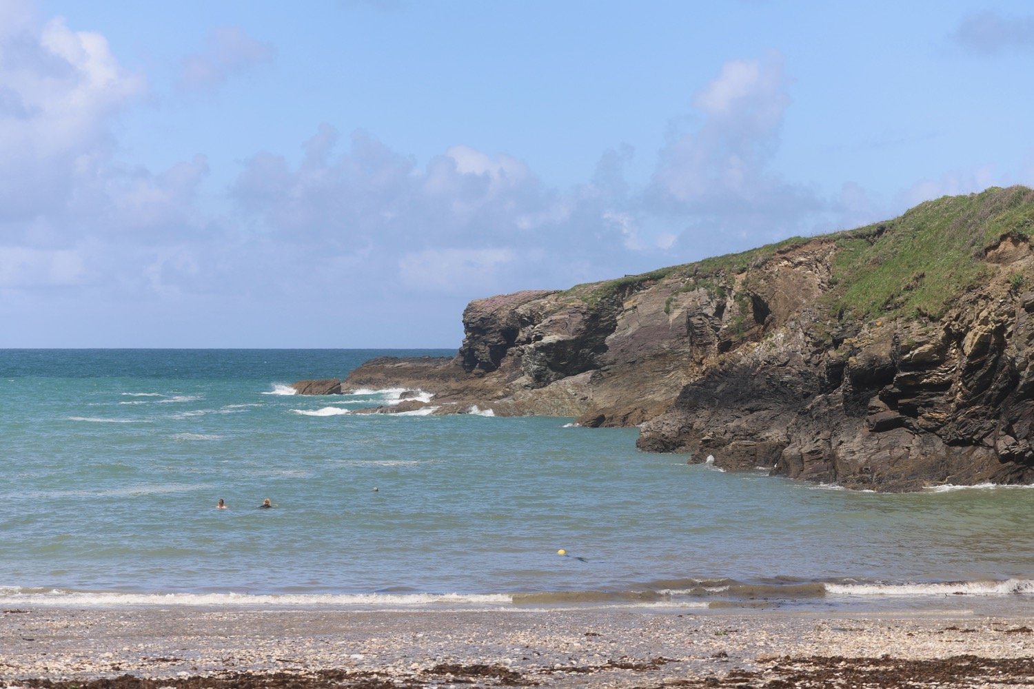
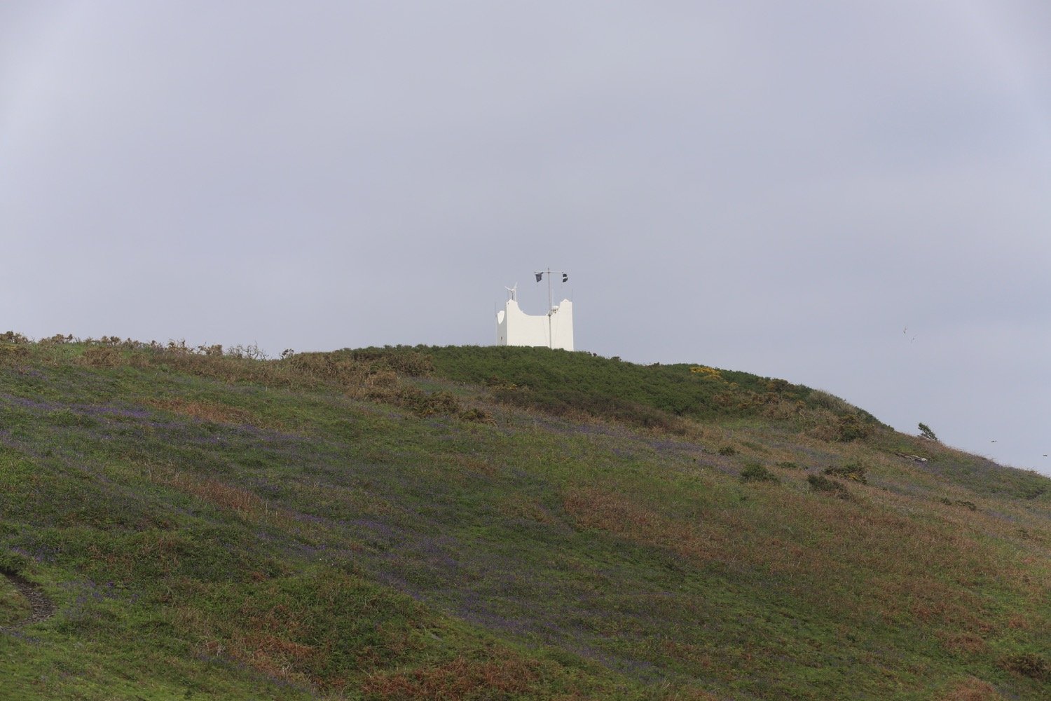
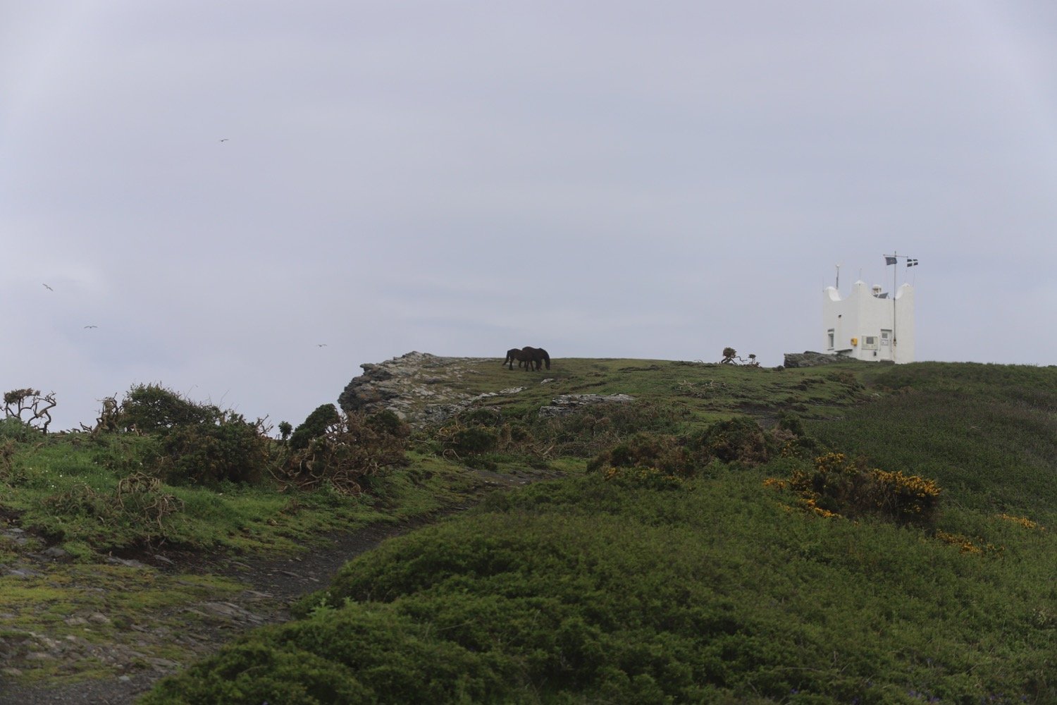
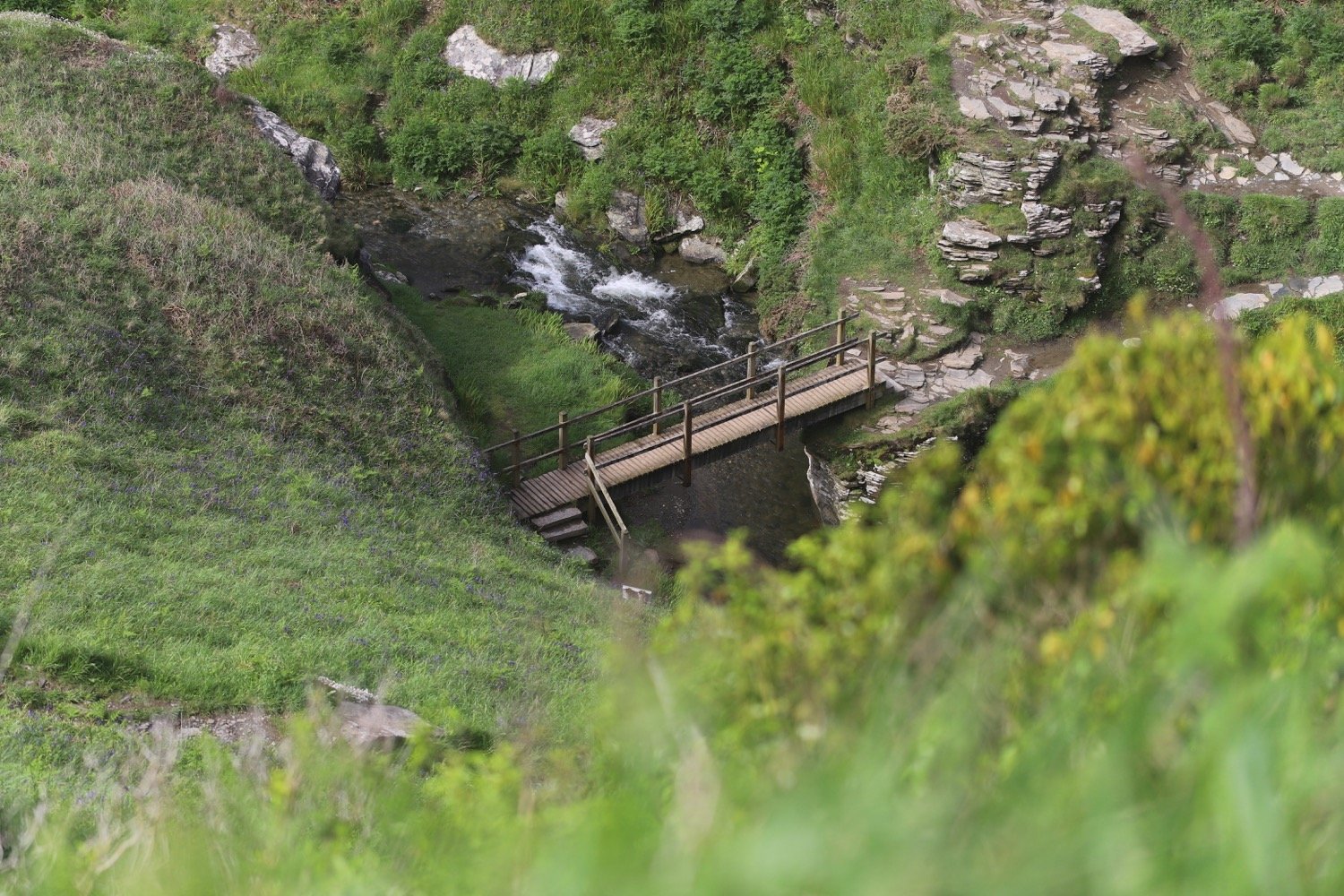
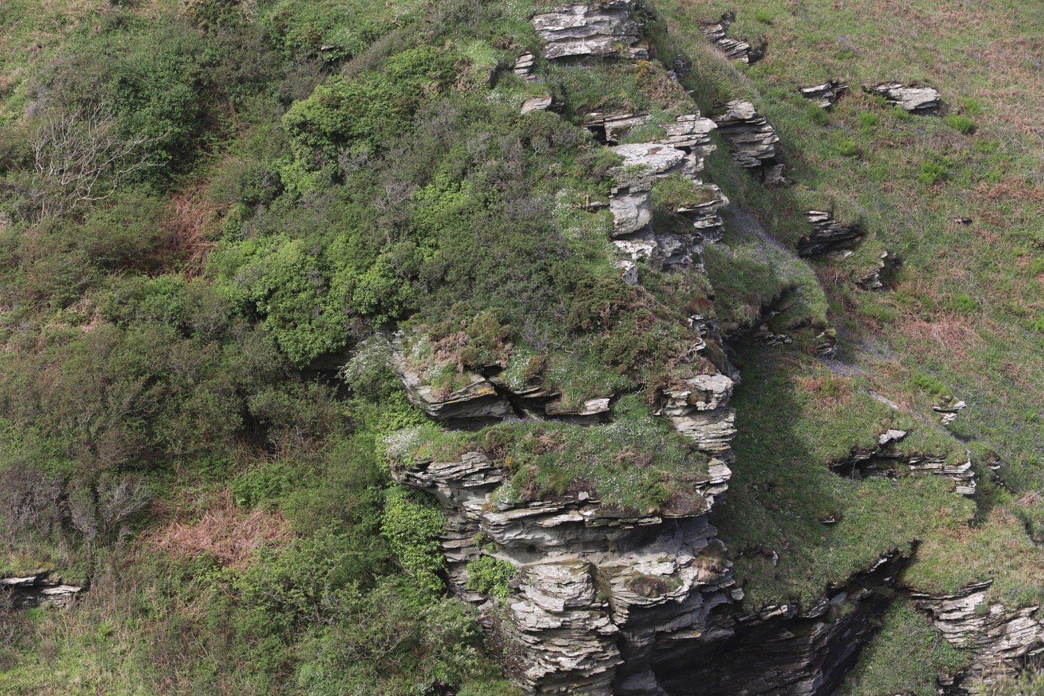
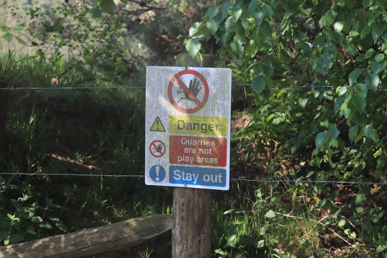
After the conifers, where the track swings left I go straight ahead down a narrow pebble path through the gorse towards Blackhill Quarry. This is an amazing landscape of quarried red sand and gravel, being managed by the RSPB with grazing ponies.
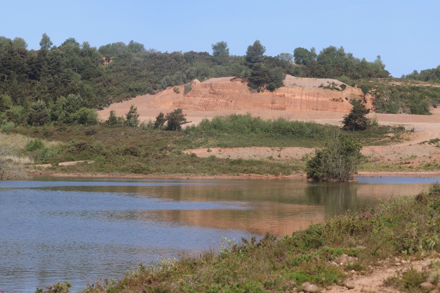
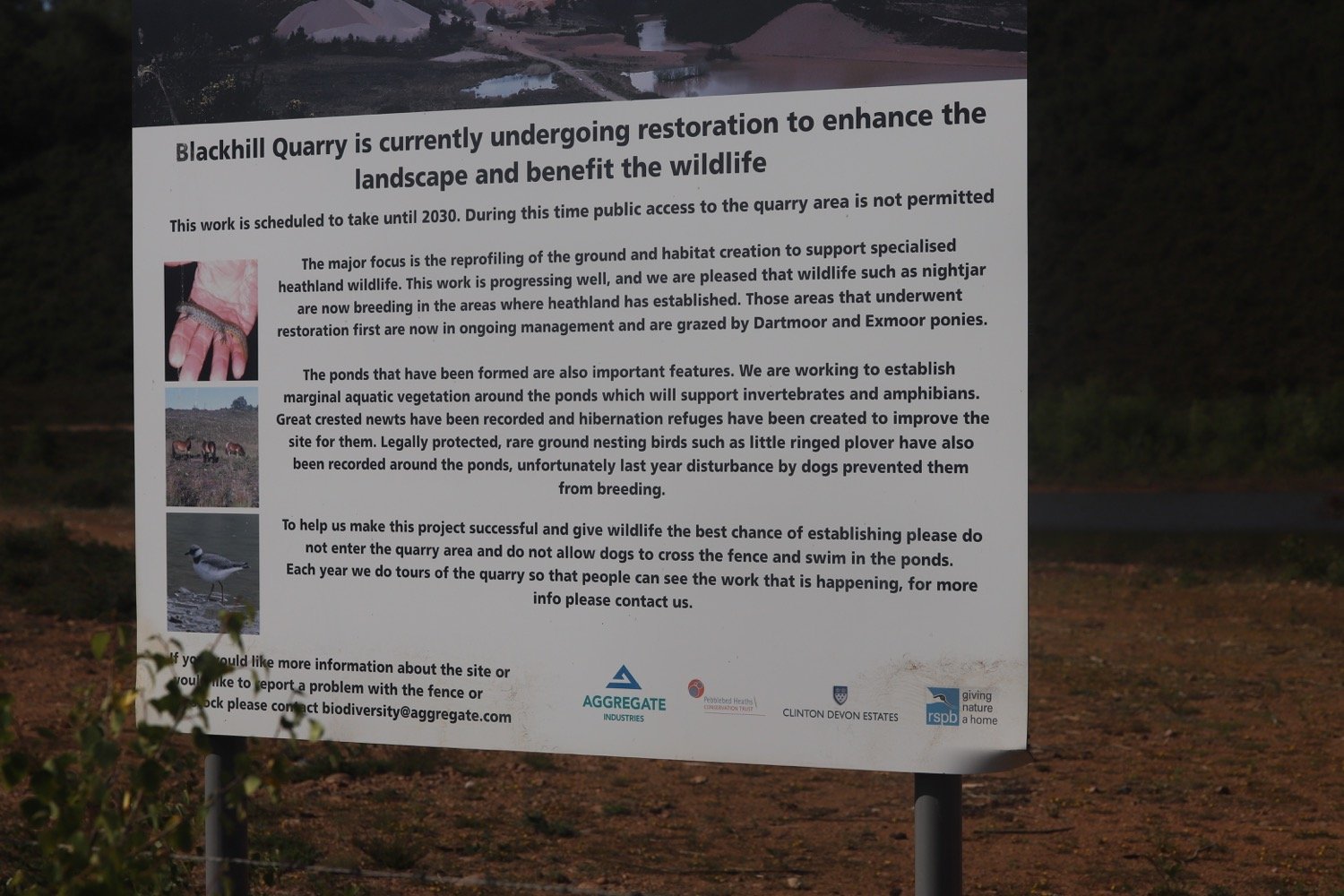
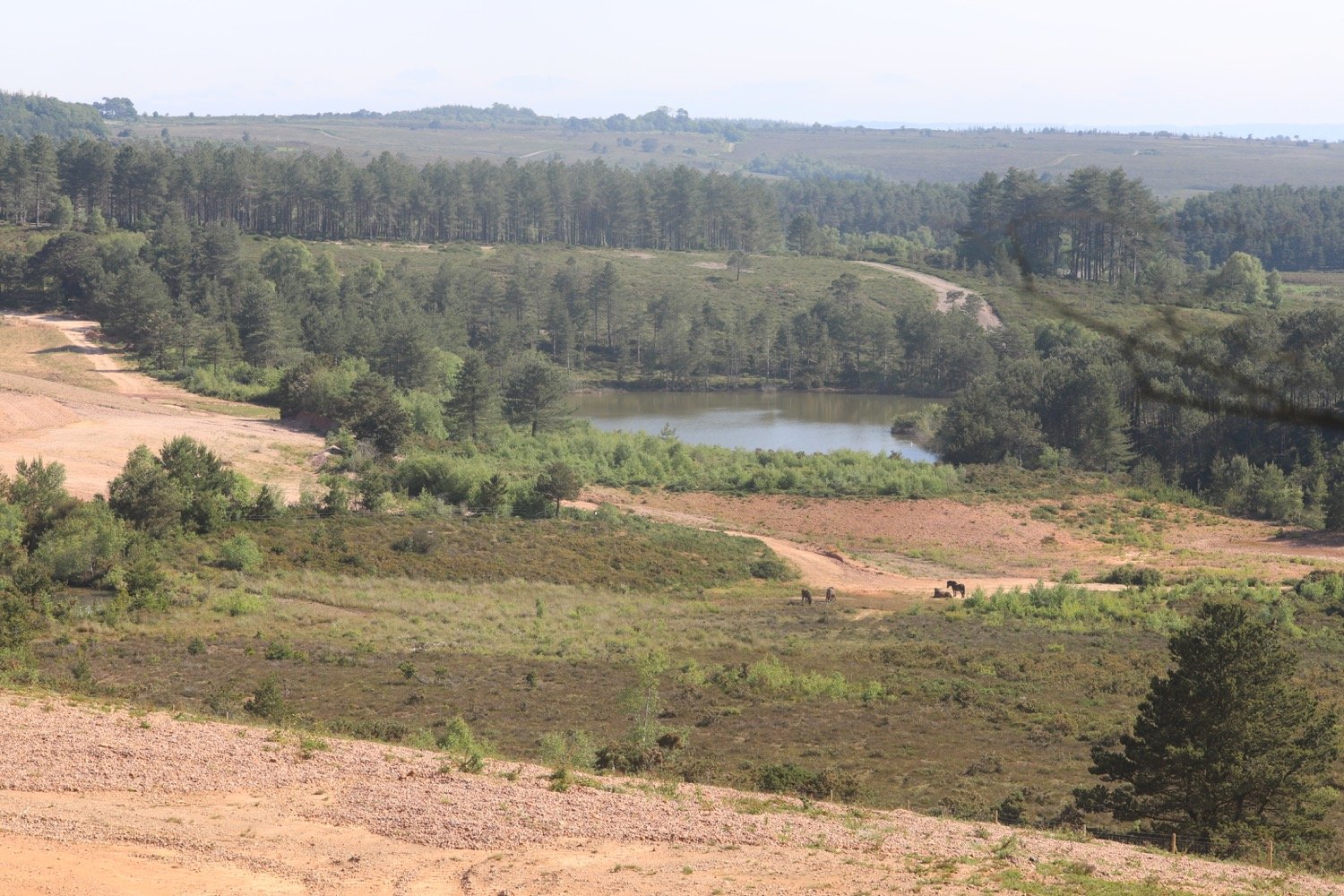
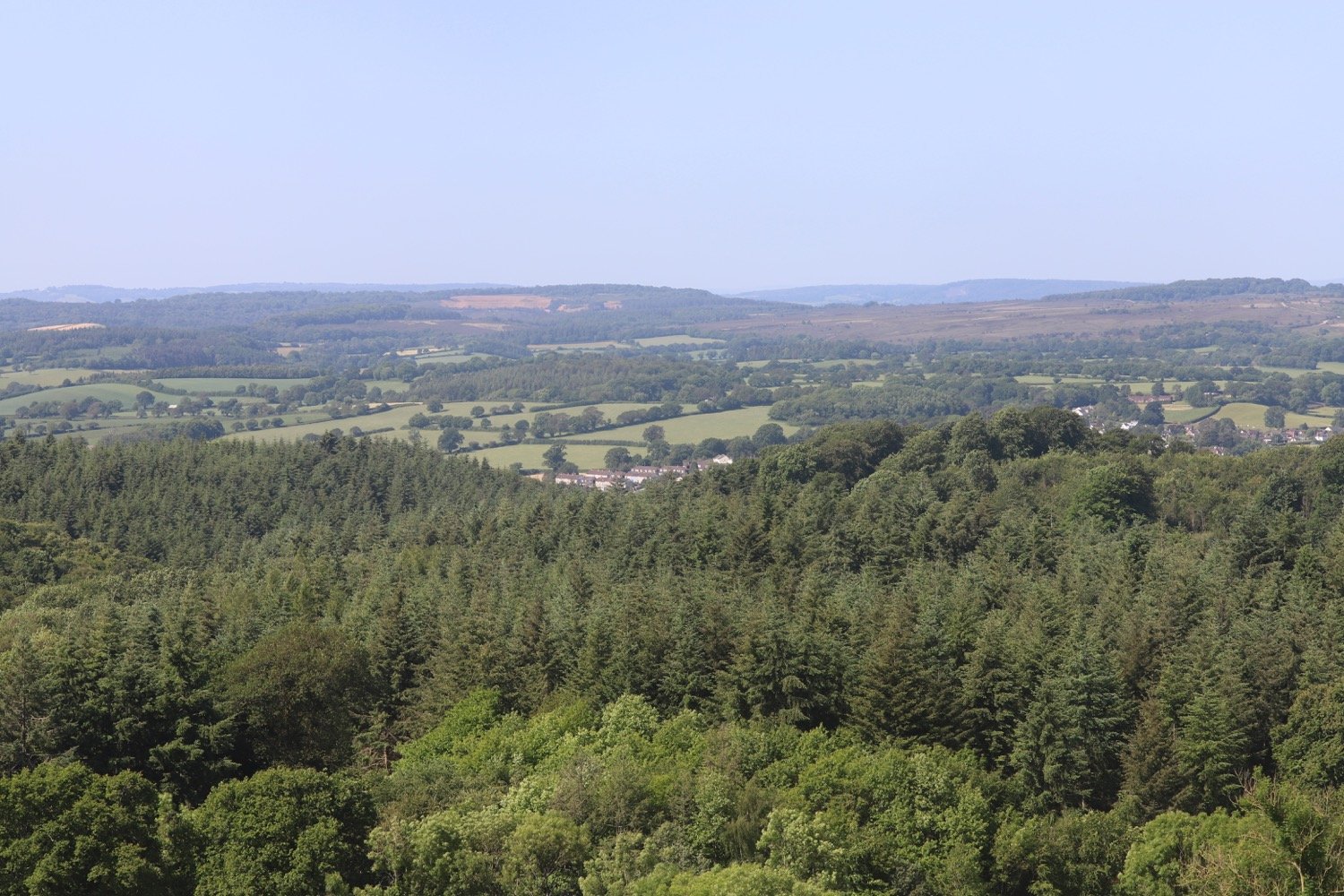
I pass the lake in Blackhill Quarry on my right and join a broader track. I follow waymarkers and go through a gate, ascending towards woodland.
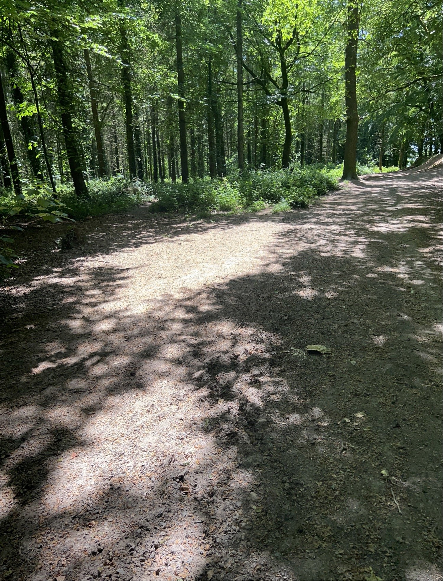
I turn right at the top, near Fryingpans on the map, then fork left at a waypost. I pass through a wooden gate and enter Lympstone Common. I keep straight ahead where I join a public bridleway. When I reach a crossroads of public bridleways, I turn left and follow waymarks though a pleasant woodland until I reach a car park, where I turn right on to the lane towards the B3179 road.
I turn left along the B3179 walking along it for 80 yards, then turn right down Higher Marley Road. This is a narrow residential road with no pavement.
higher marley lane
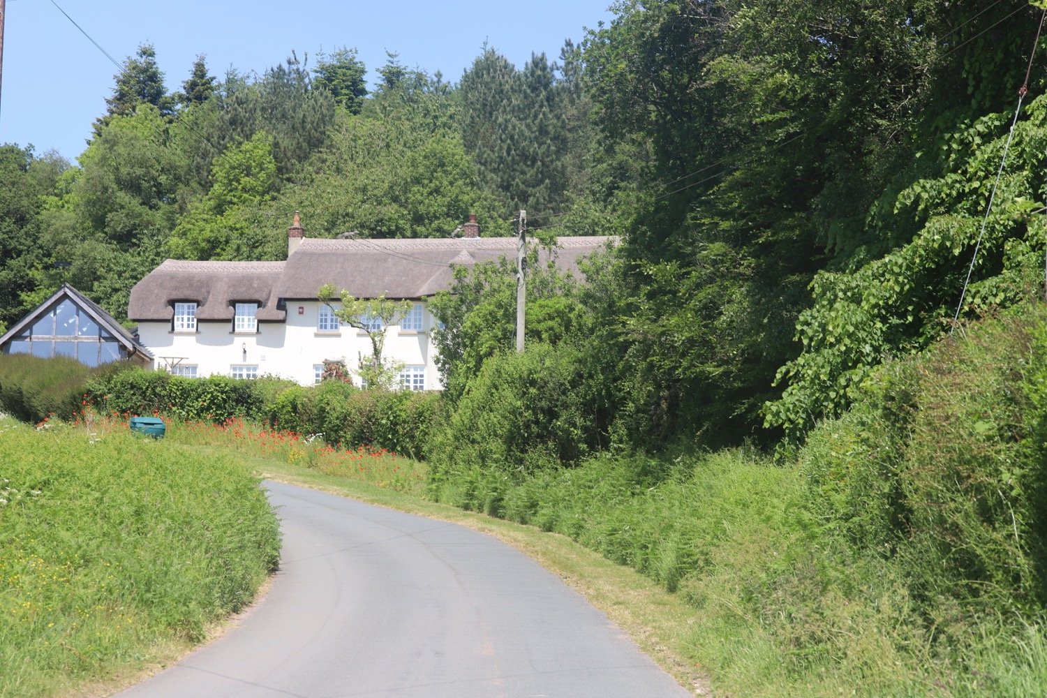
Bystock Woods is to my left. At the bottom where the road curves to the left, I keep straight on Marley Road, ignoring Gorse Lane on the left.
marley road
I continue between iron bollards on to a traffic-free section to reach Dinan Way.
I cross over this road via a pedestrian refuge to continue down Marley Road which is again closed to vehicles. I pass houses and, when the road becomes open to vehicles again with houses on both sides, I fork right ahead by a waymark post up a wooded track.
I cross over Hulhum Road, bearing slightly right and turn down a grassy public footpath with houses on my left and fields on my right, where I have my first proper glimpse of the estuary.
glimpse of the estuary
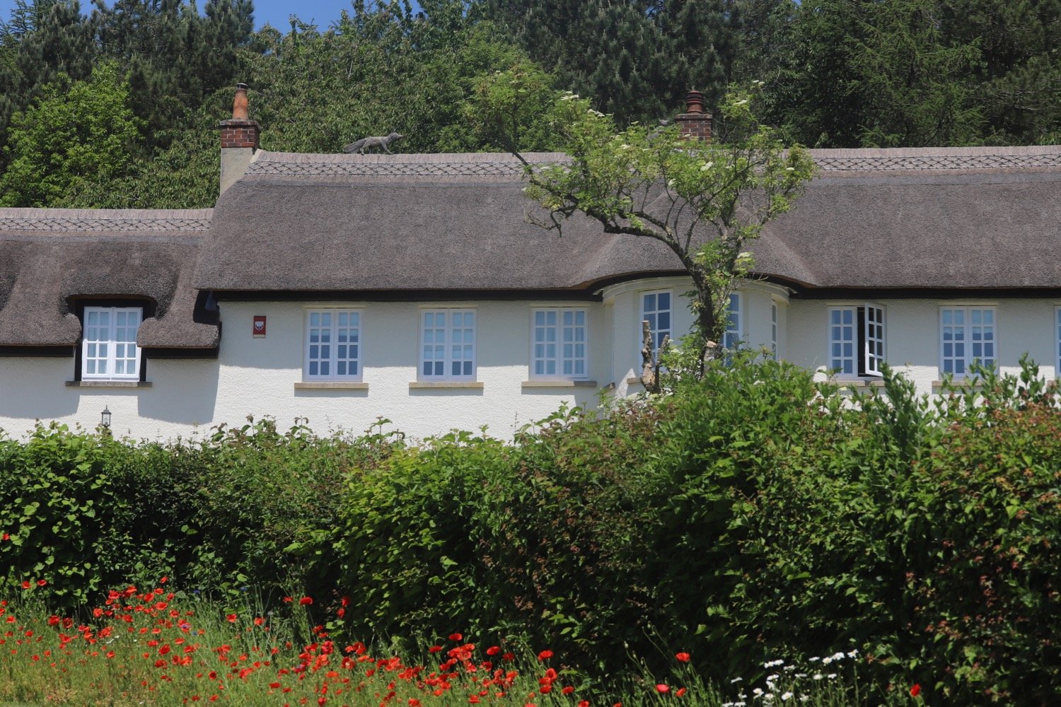
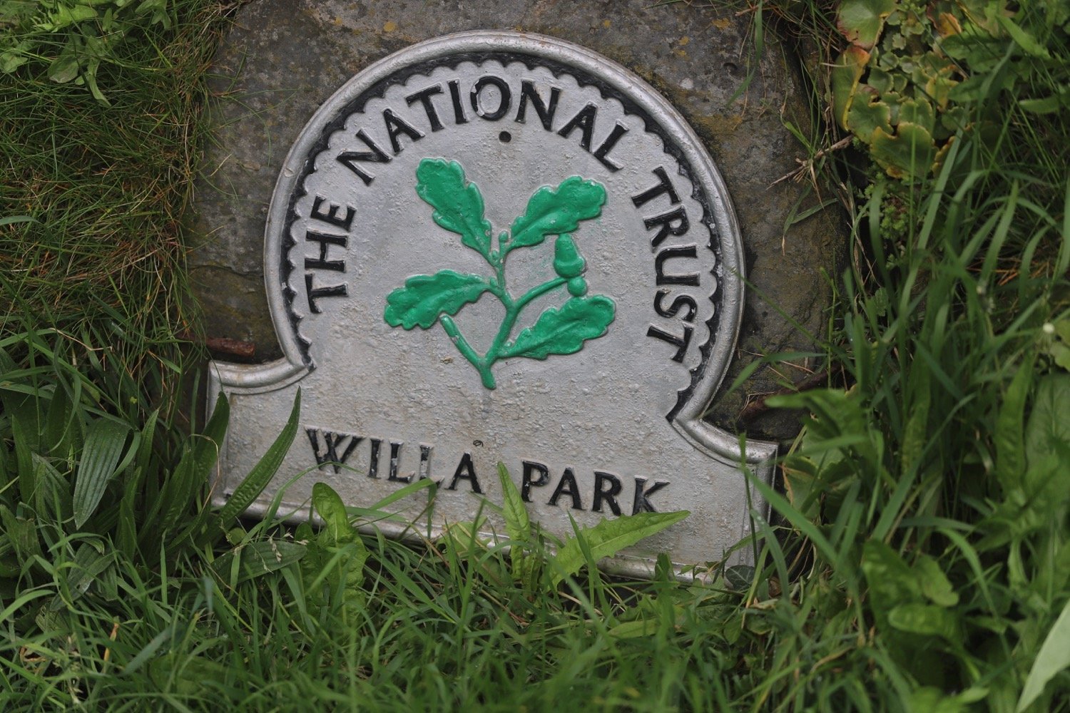
There are people here strimming the life out of the vegetation. When I reach Summer Lane I turn left to pass A La Ronde on my left, a unique 16-sided National Trust property. Members and paying visitors can visit the house, enjoy the views over the estuary and visit the tea room.
a la ronde
I continue on the lane with views ahead to the estuary where I will soon be walking. At a cross roads I go straight over the A376 Exeter Road, next to a petrol station.
I walk down Courtlands Lane, and after the last house on the right turn right over a stile along a public footpath.
I walk between a hedgerow on my right and an earth bank on my left and follow it left around a field of wheat. I go through a kissing gate and resume walking in the same direction with the hedge now on my left. I follow the path as it turns right around the field and then left through another kissing gate, glimpsing the view down to the estuary.
field of wheat
I go through another kissing gate onto an access track and, at the lane cross over on to a public bridleway. This turns left before meeting a lane. I turn right and continue until I see a railway arch over the road.
railway arch
Just before the arch I turn left though a gate to follow the Exe Estuary Trail for three quarters of a mile, a shared cycle route and footpath, part of National Cycle Network Route 2.
exe estuary trail
exe estuary trail
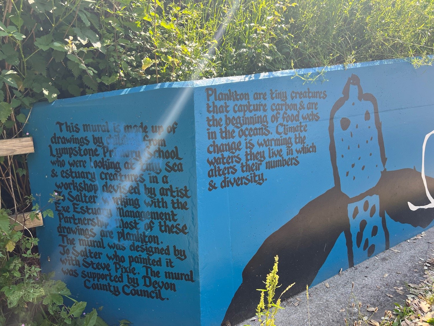
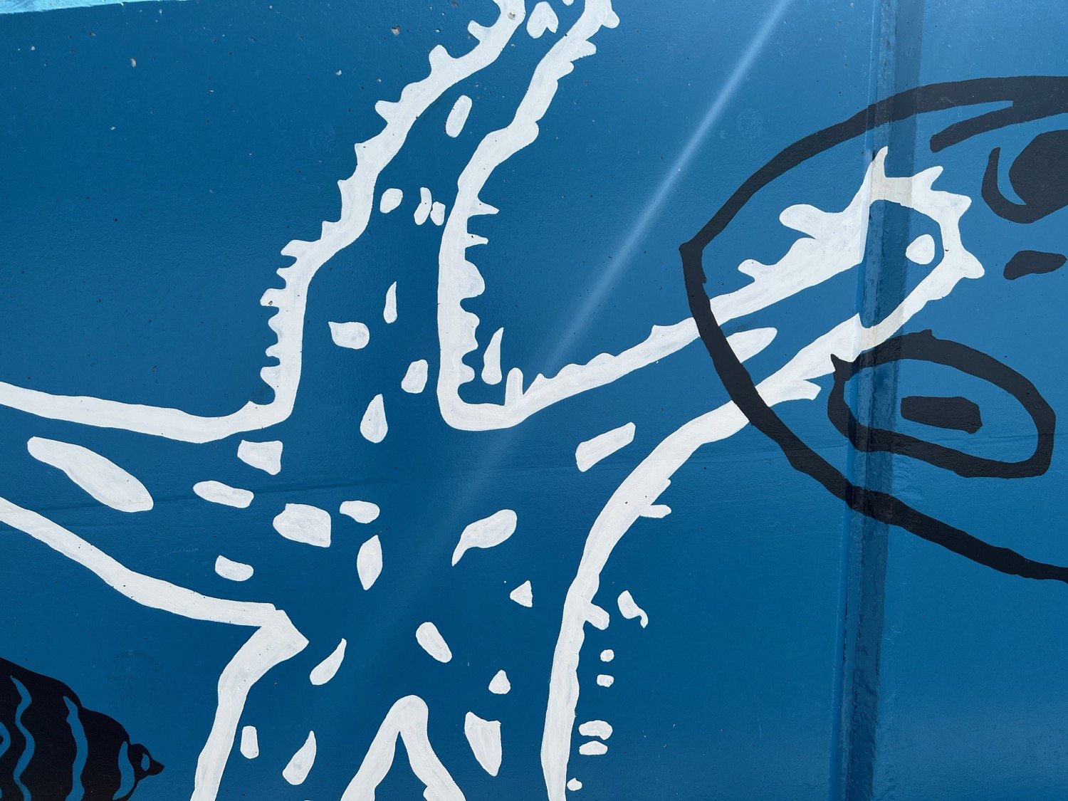
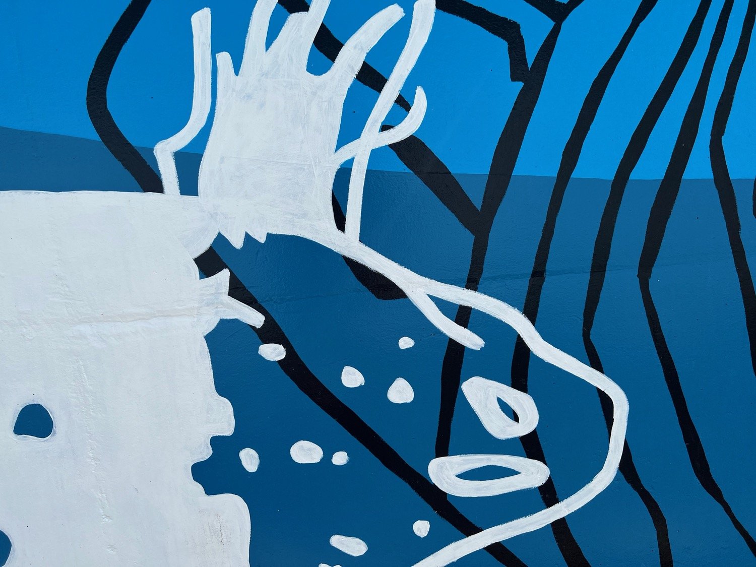
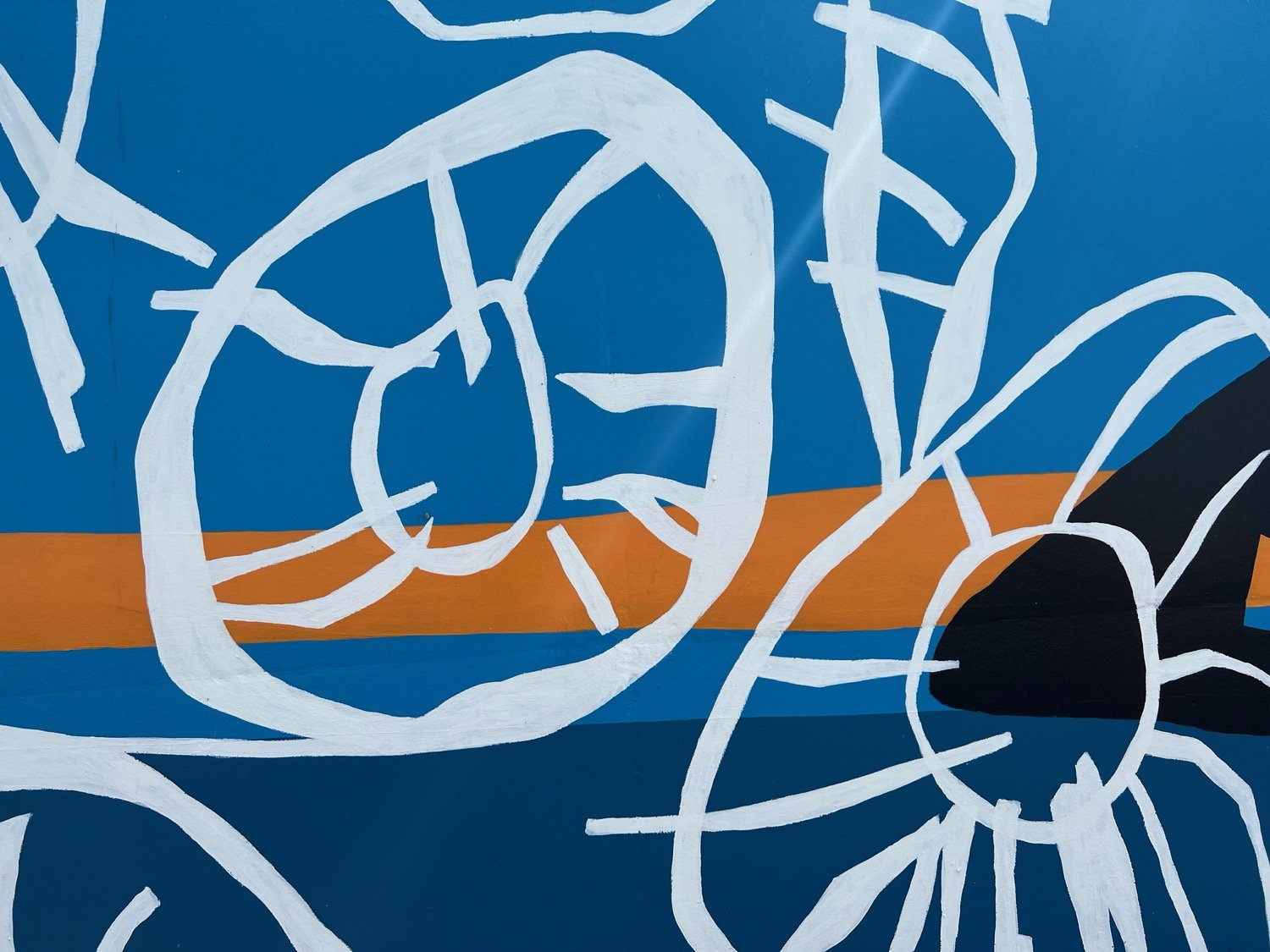
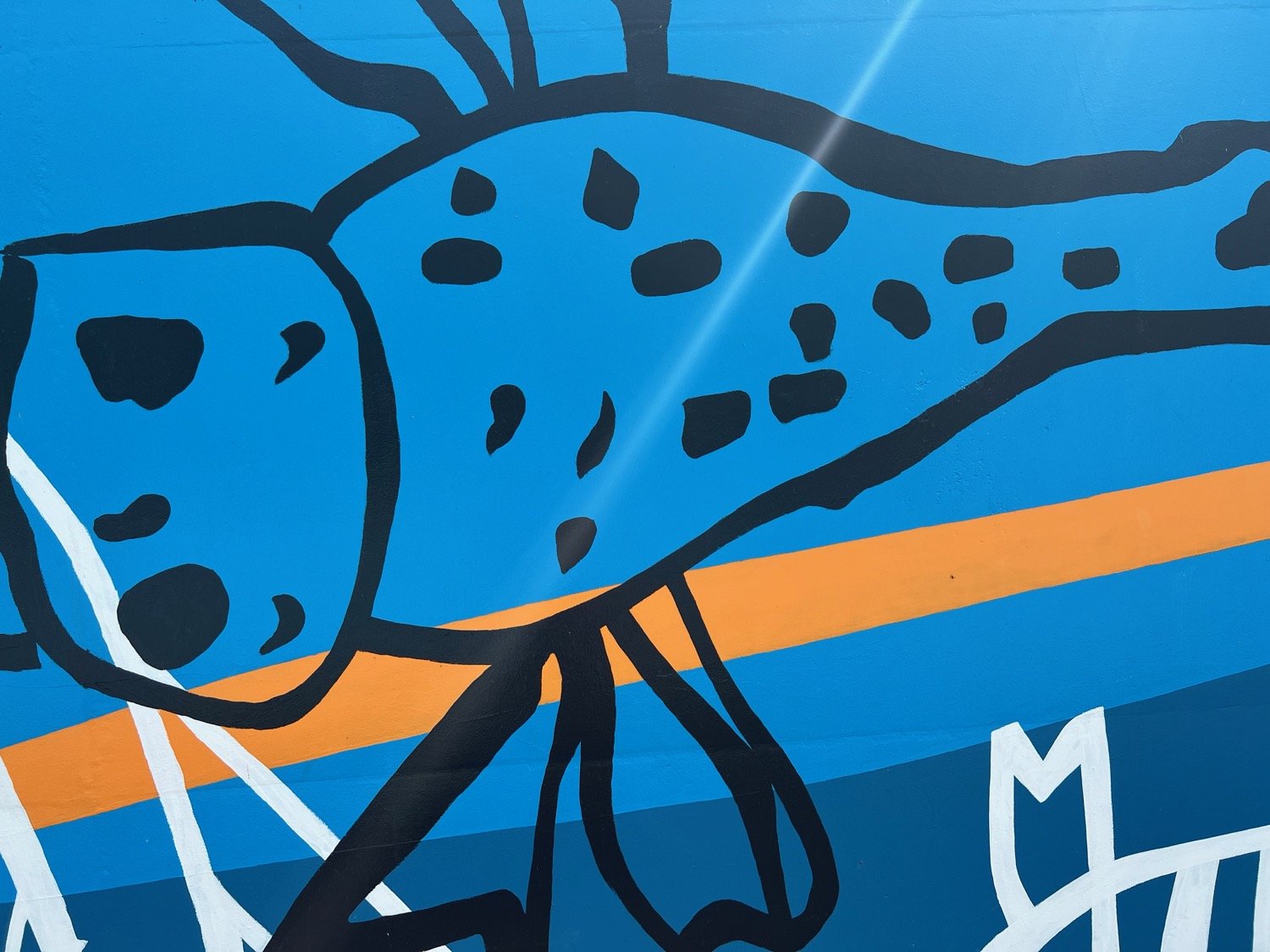
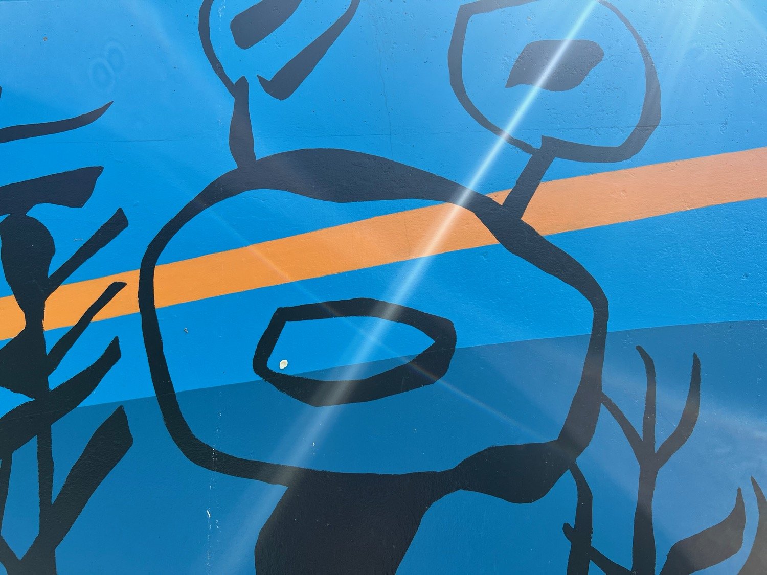
I pass a mural, made up of drawings by children from Lympstone Primary School and designed by Jo Salter who painted it with Steve Pixie.
I’m now next to the railway line and I begin to hear trains going into and out of Exmouth. As the path climbs a little I see the estuary on my right, a paradise for bird watching.
exe estuary
Ahead I can see the landmark of Exmouth church tower.
exmouth church tower
After another half a mile I pass National Trust owned Lower Halsdon Farm and join Mudbank Lane. I follow it right as it crosses a bridge over a drainage channel.
lower halsdon farm
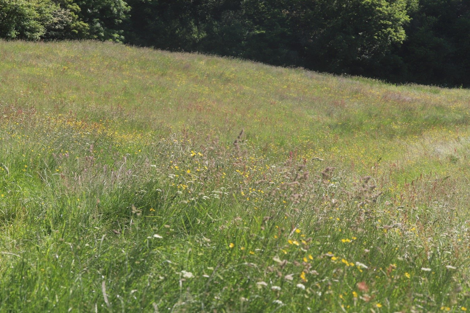
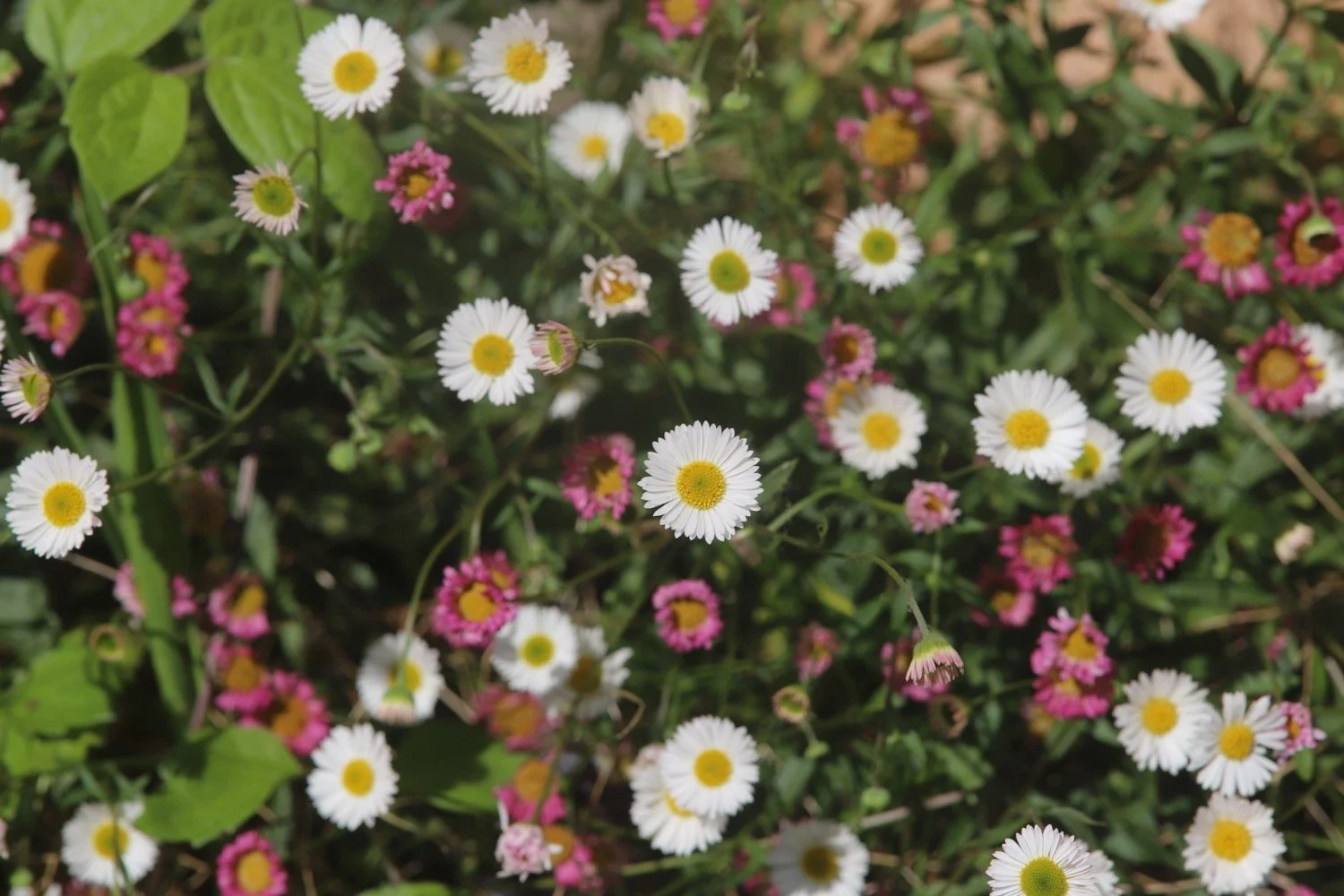
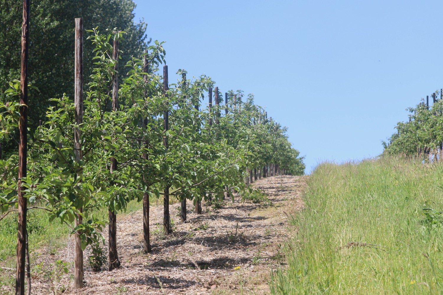
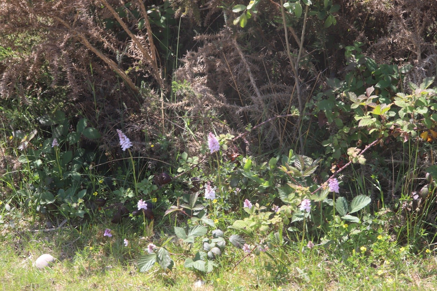
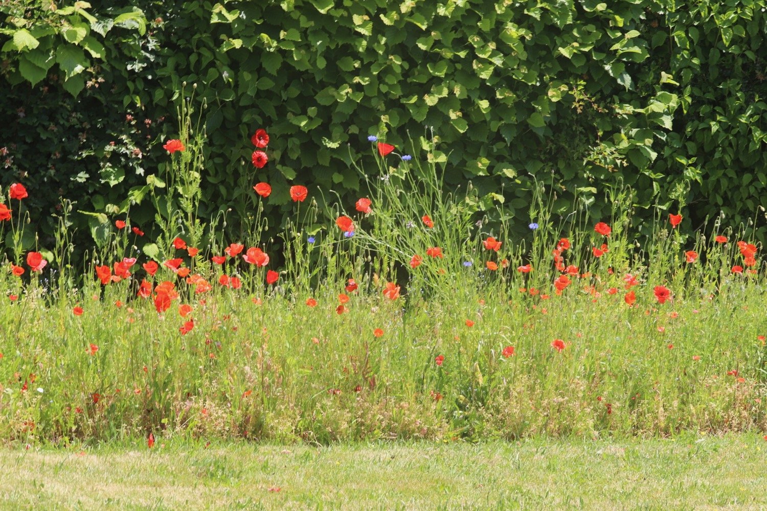
I have lovely views over the estuary and I enjoy the wildflowers bordering the trail.
view over estuary
view over estuary

I turn right at the public footpath sign into a park, then turn right up steps to cross the railway tracks, taking care to look out for approaching trains. I go through
a kissing gate, then left at the junction to follow the path along the estuary.
beware of trains!
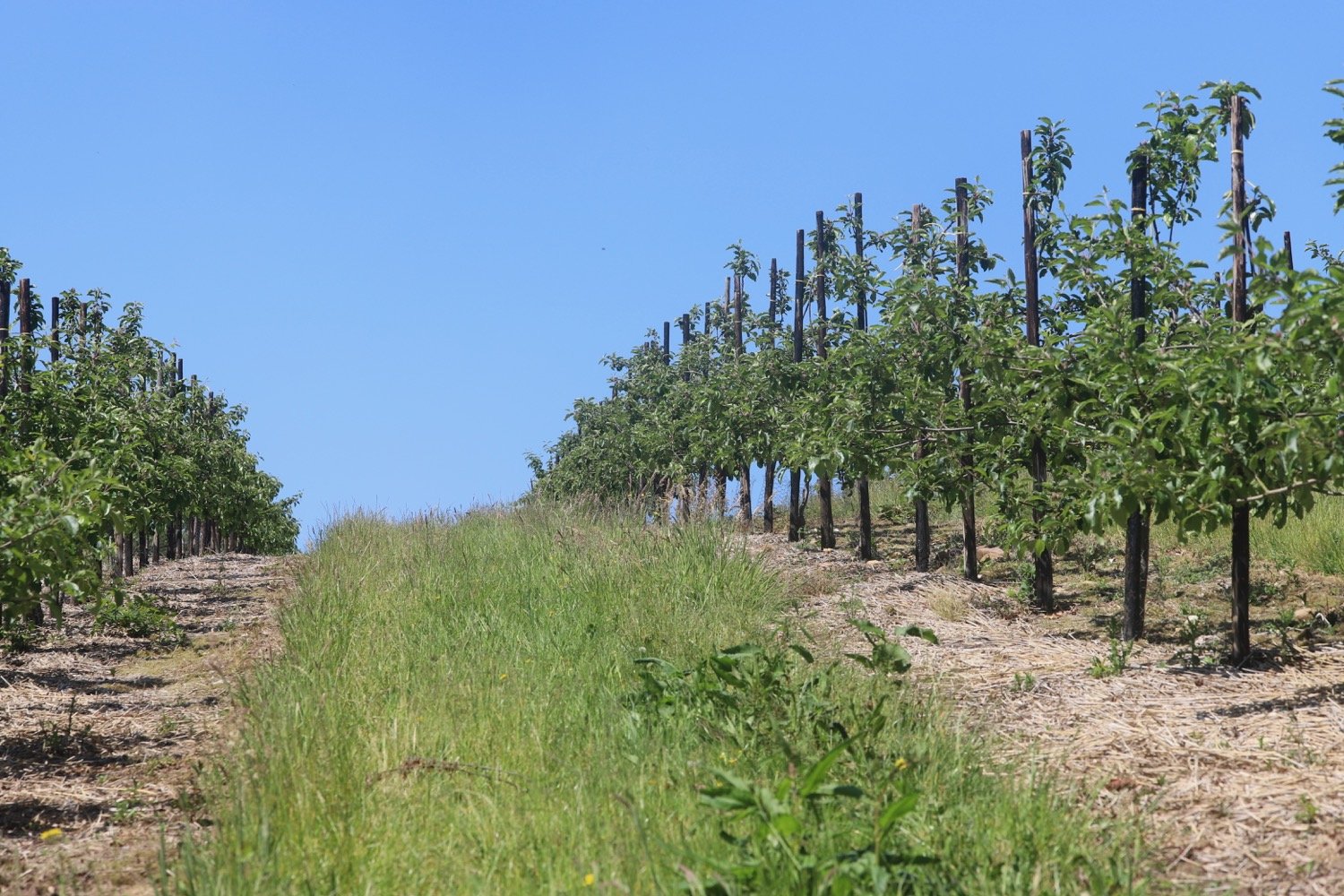
I have more magnificent views over the estuary and pass a signpost pointing back to where I have come from.
view over estuary
view over estuary
east devon way
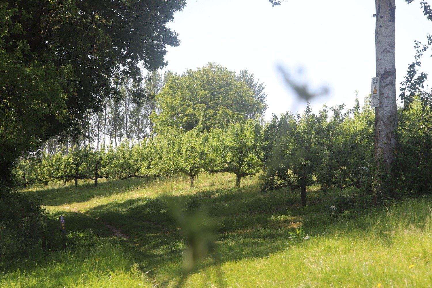
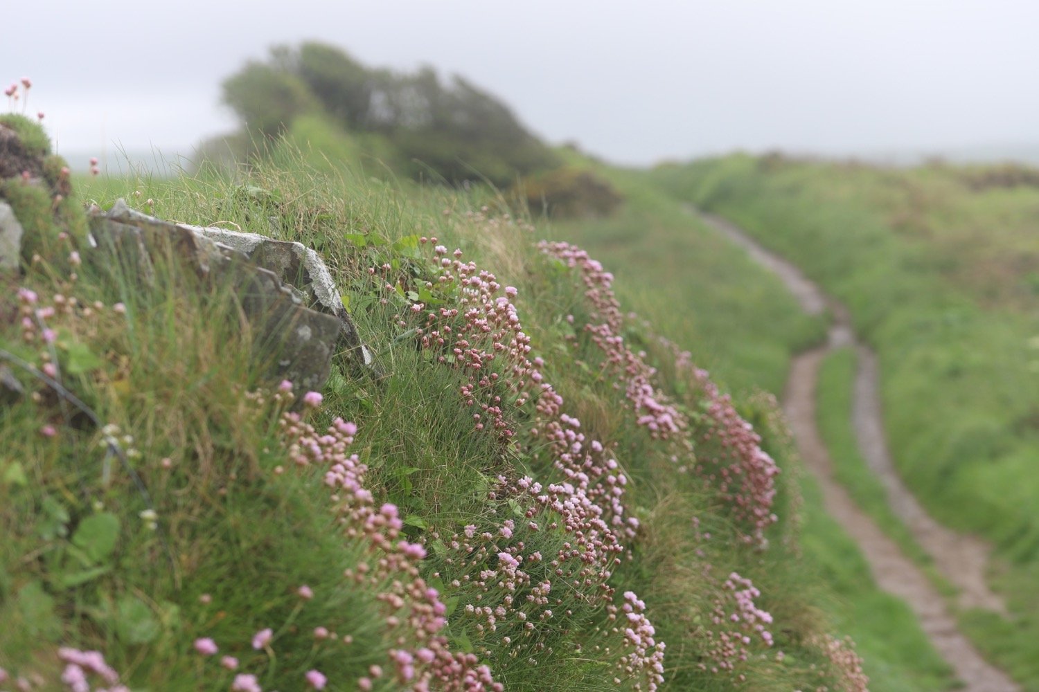
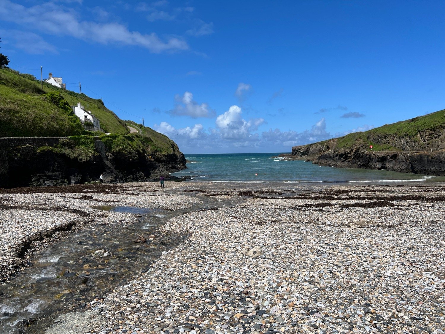
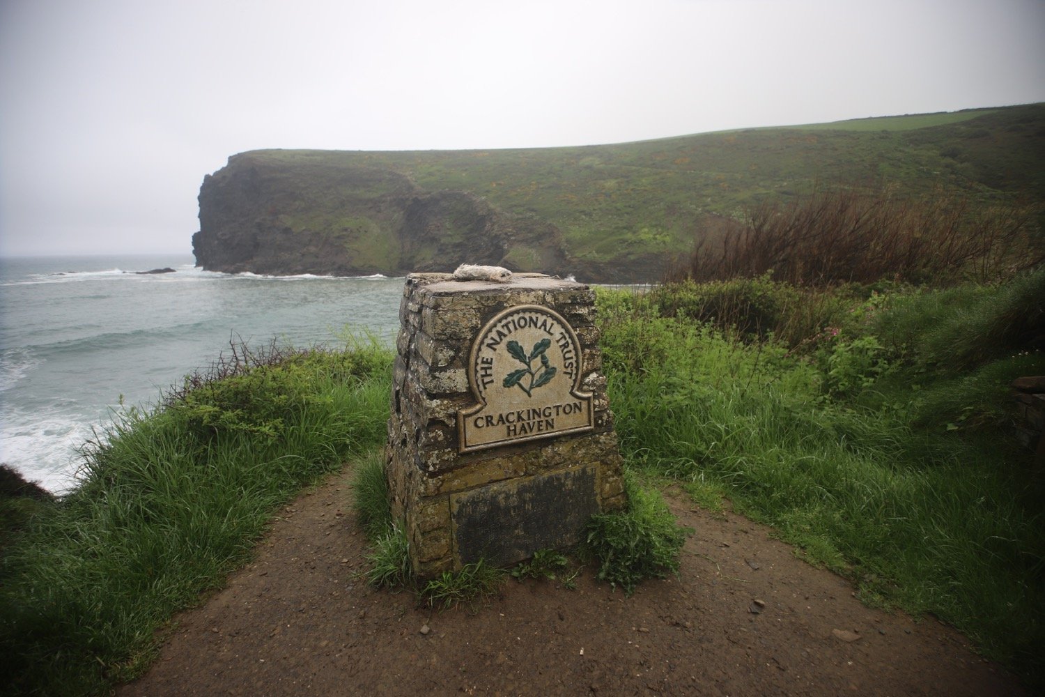
After passing through a pleasant grassy nature reserve, I emerge and pass a coach park then a car park on my left and pass behind the railway station where a train is just drawing in. I follow the road beside the estuary until I arrive at a viewpoint with interpretation boards marking the western end of the East Devon Way. My walking is done.
viewpoint
start and end of the east devon way
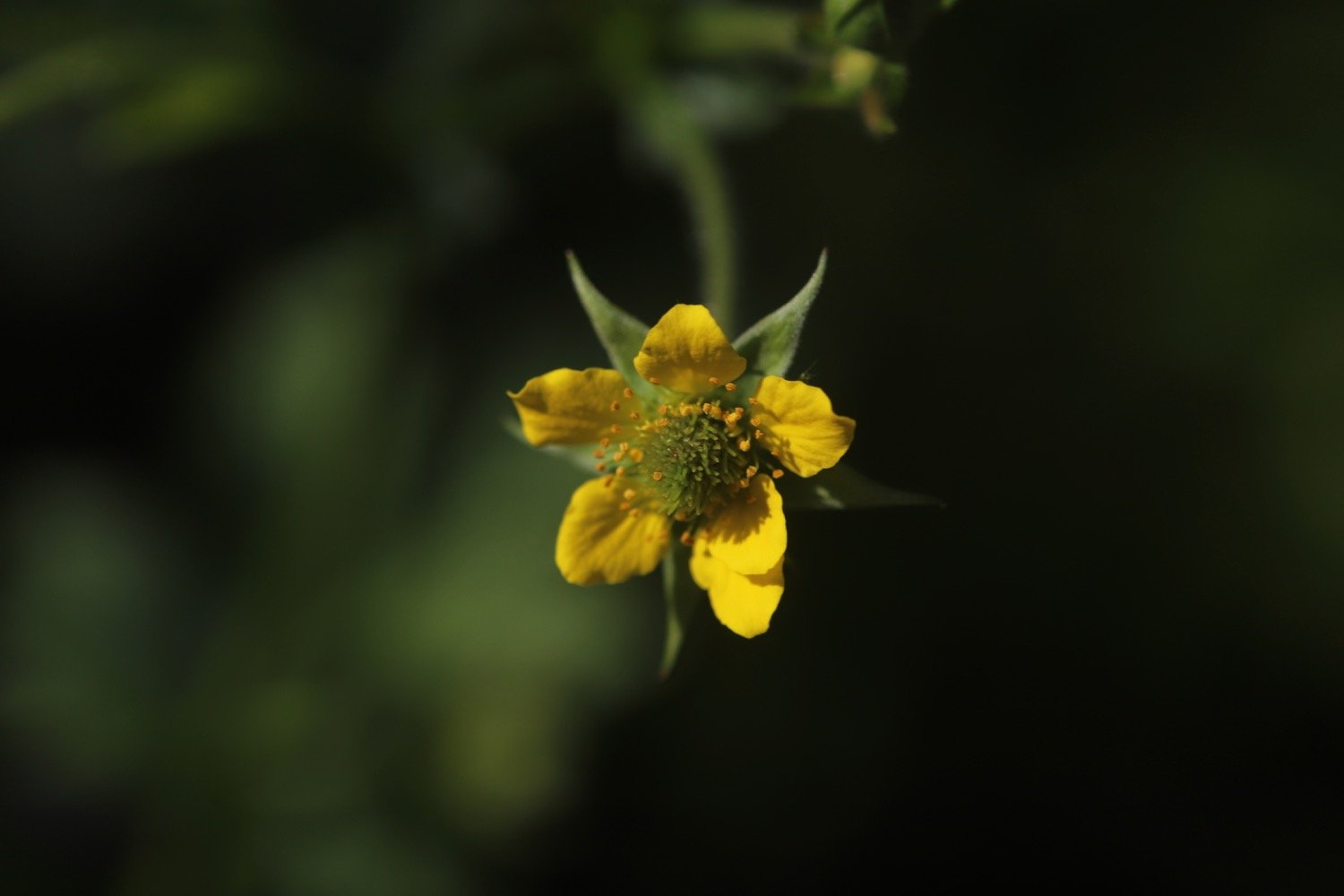
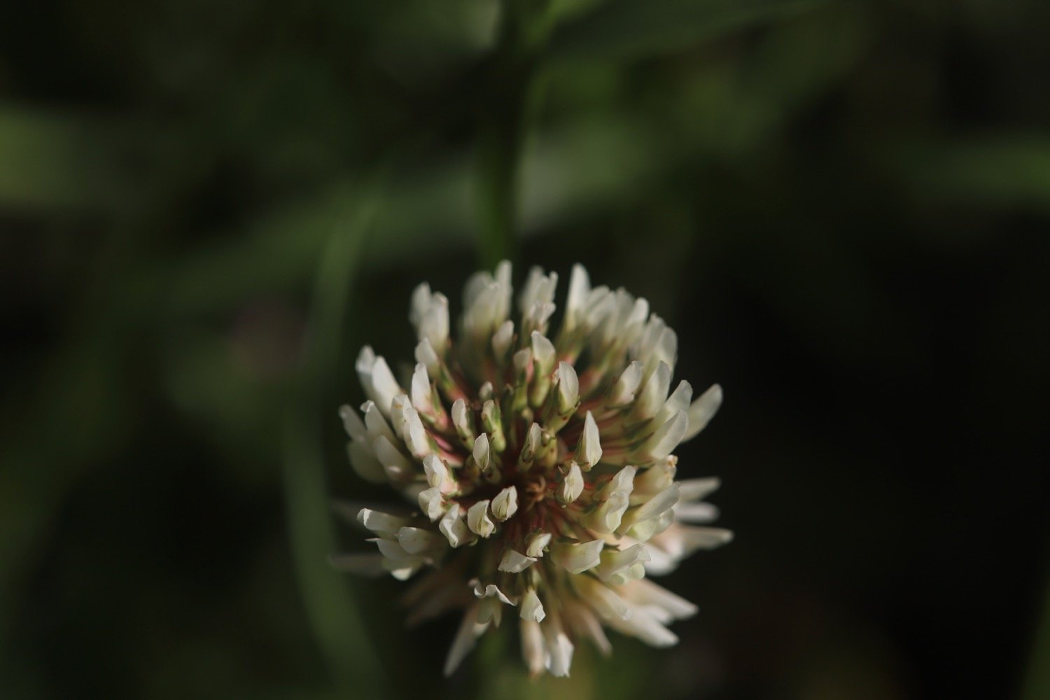
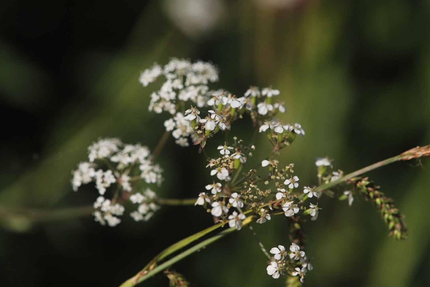
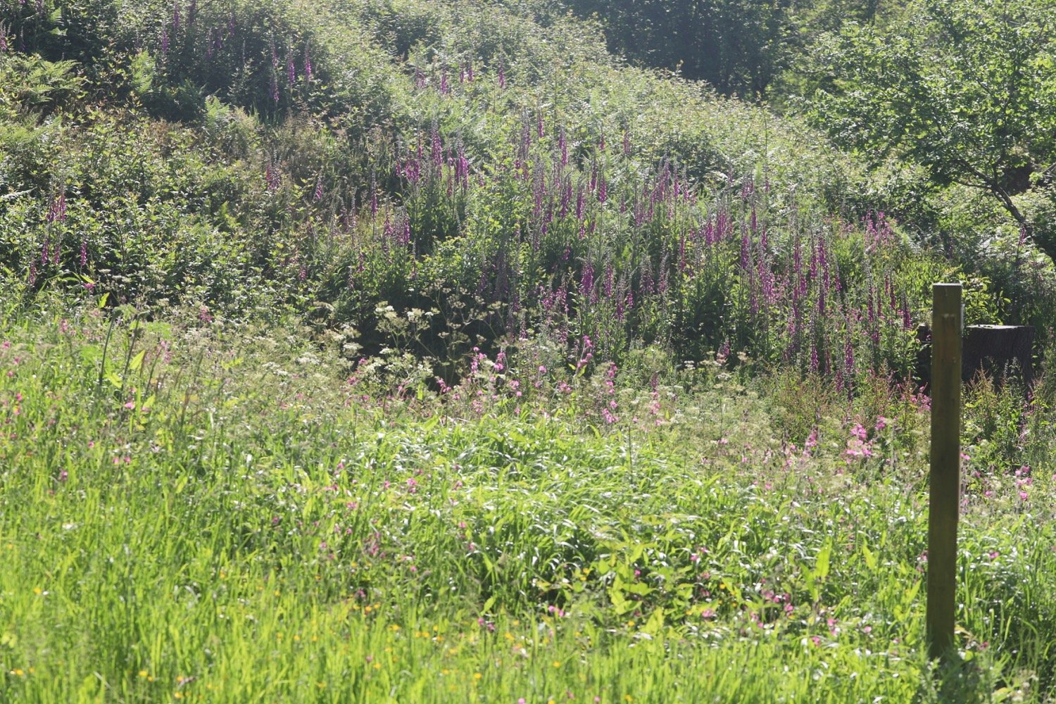
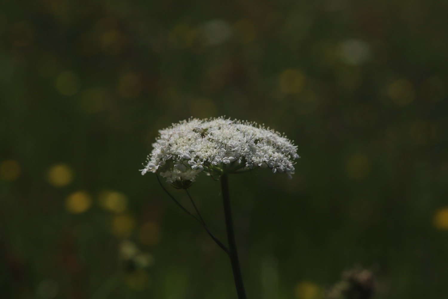
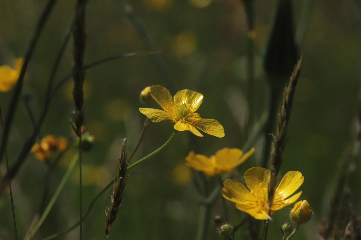
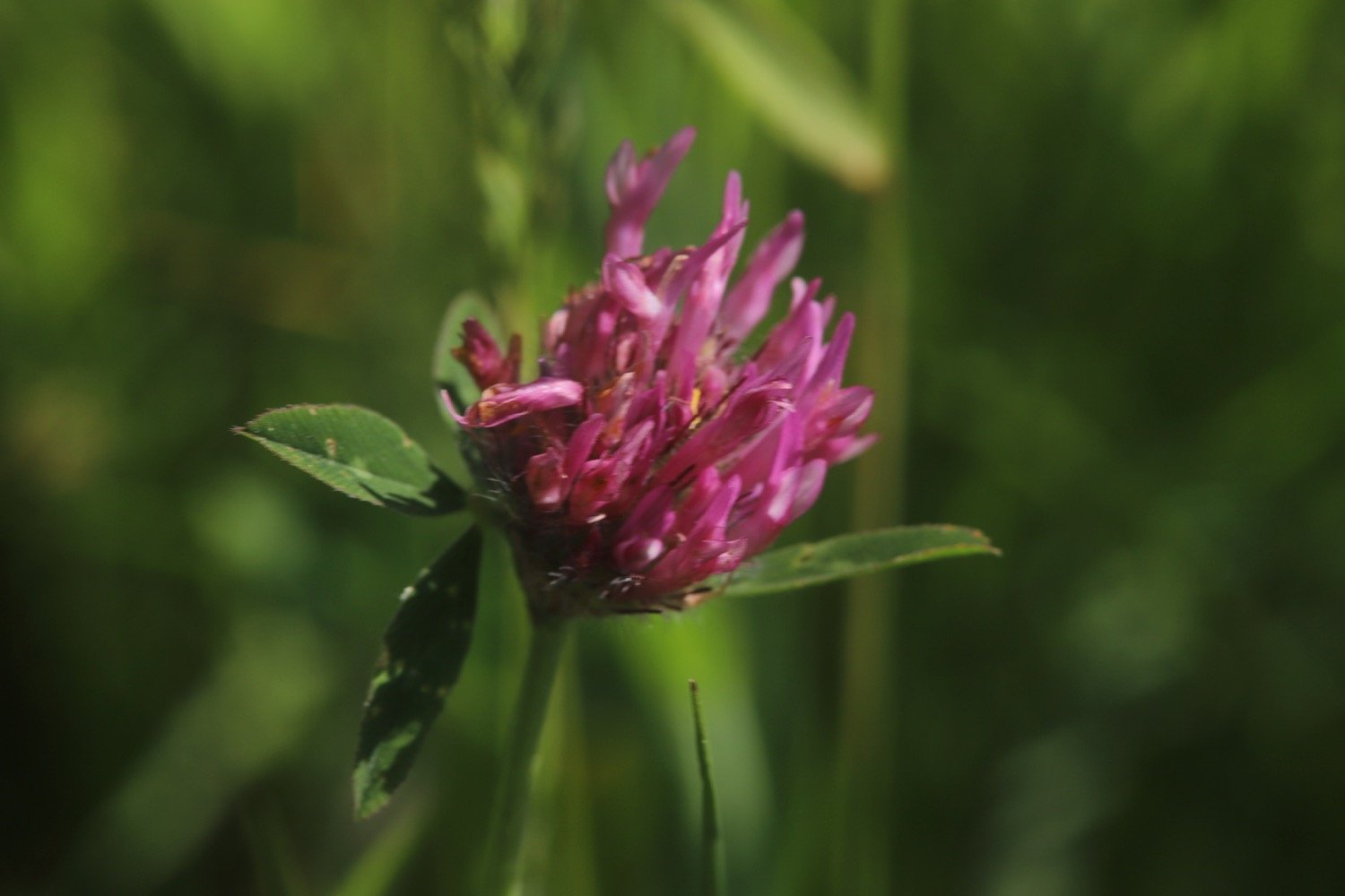
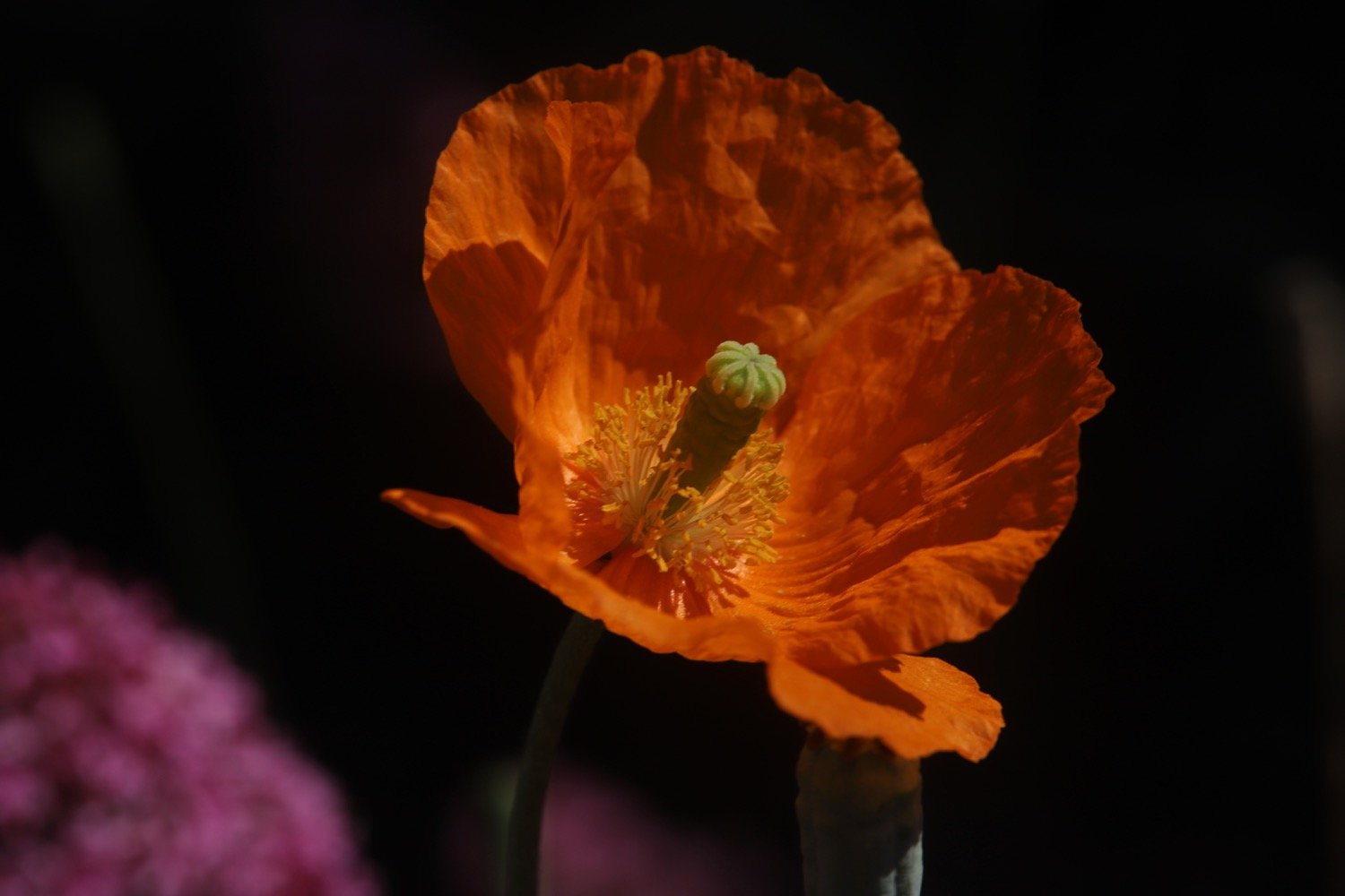
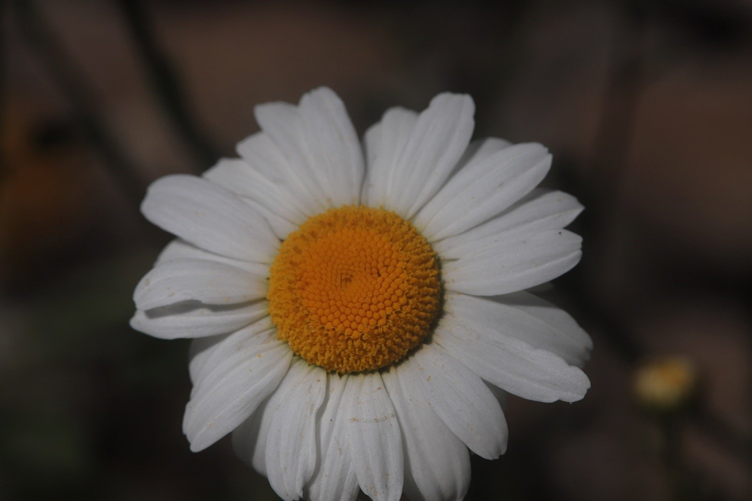
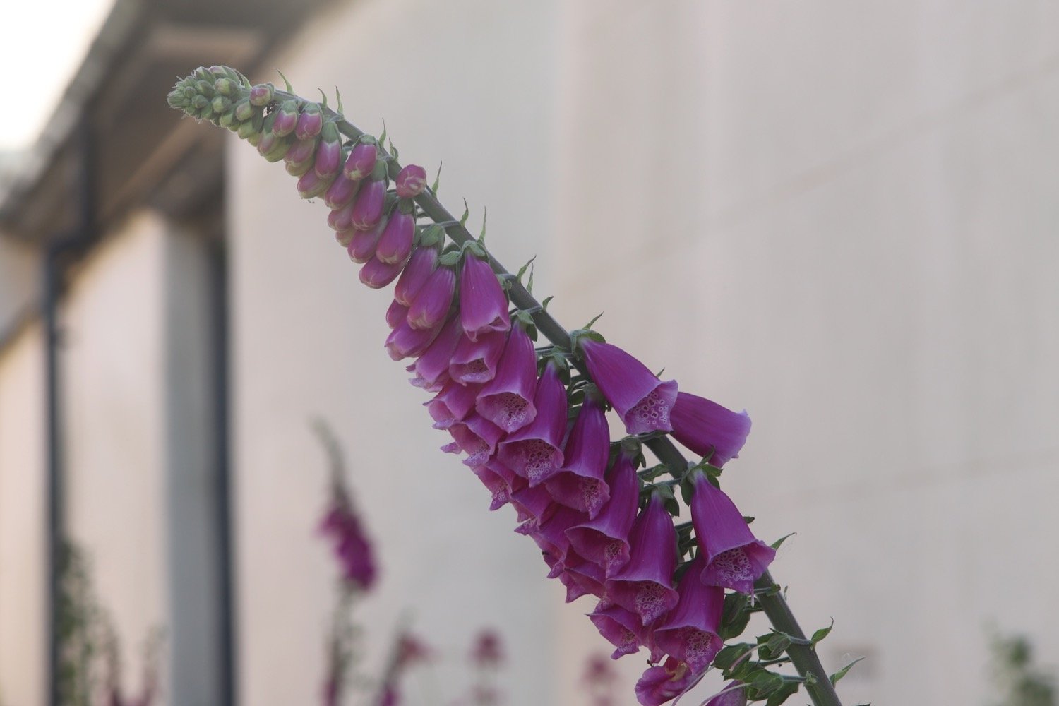
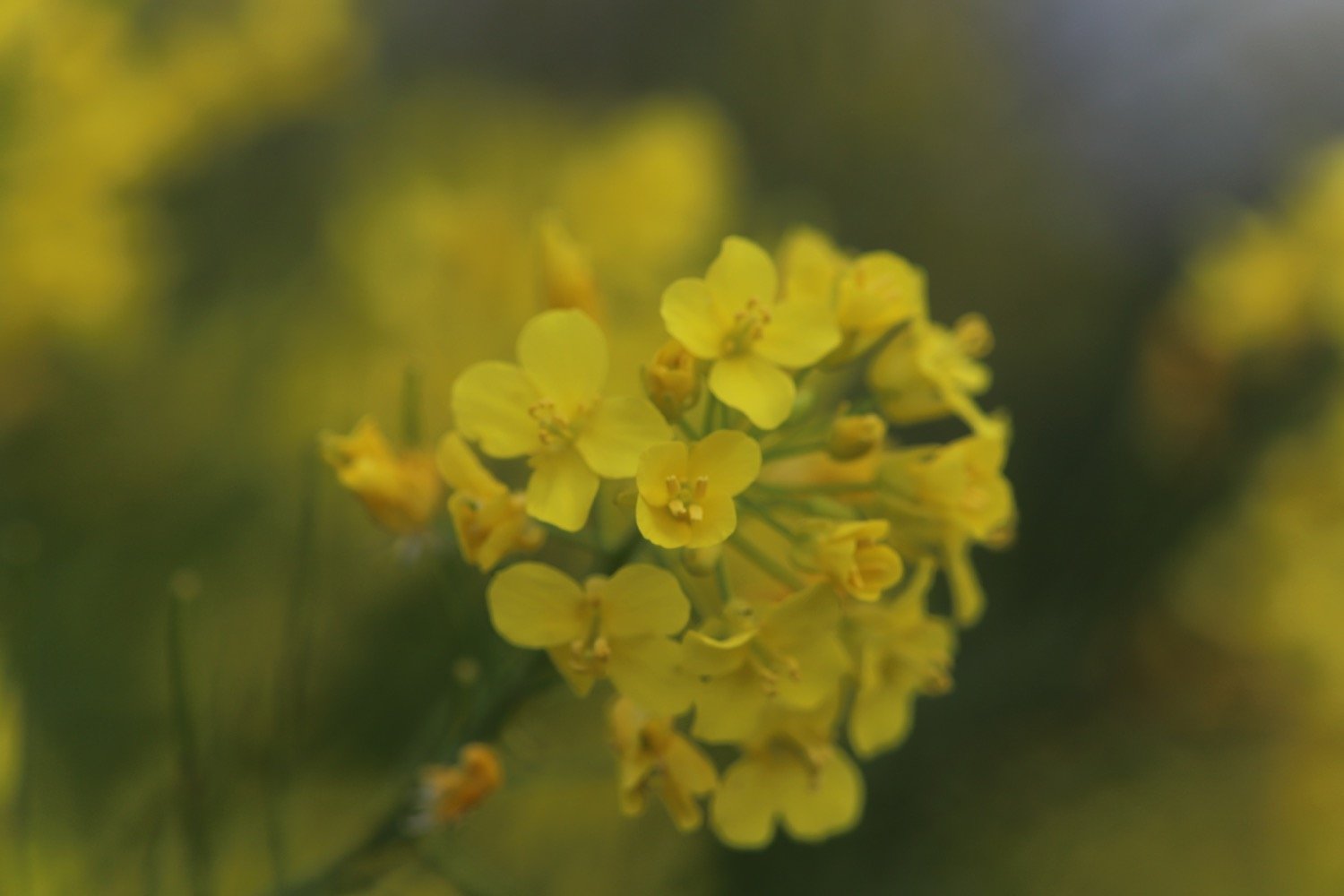
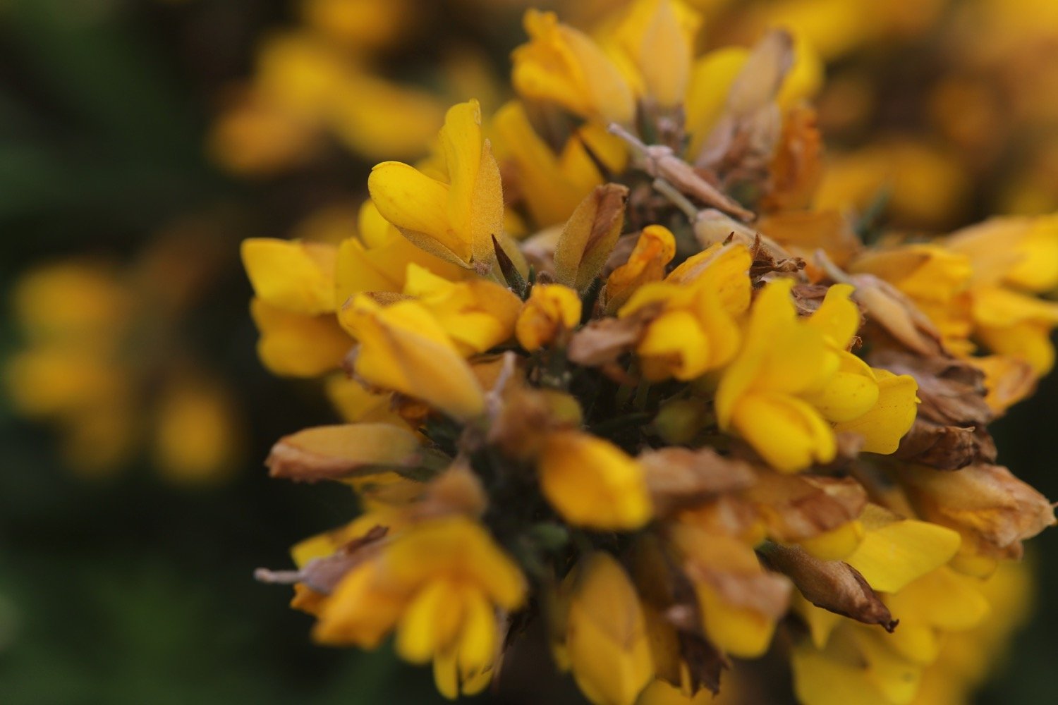
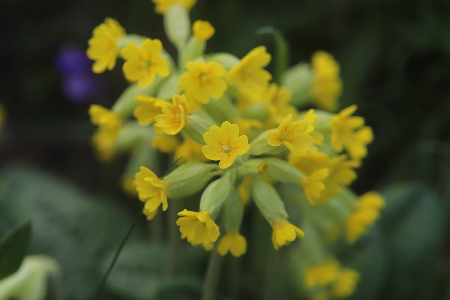
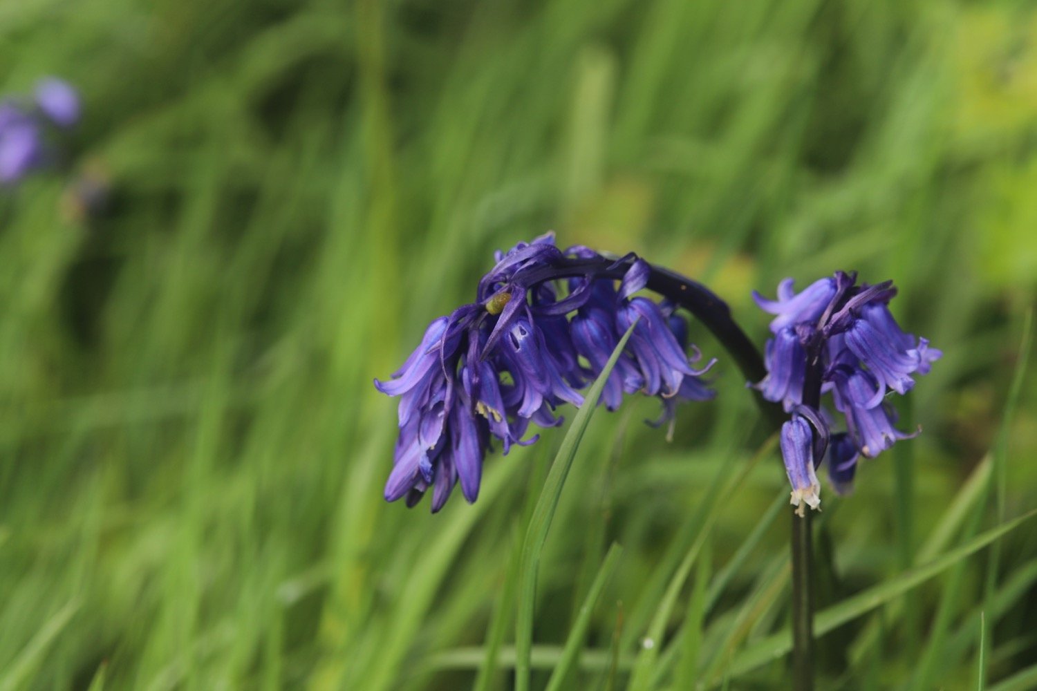
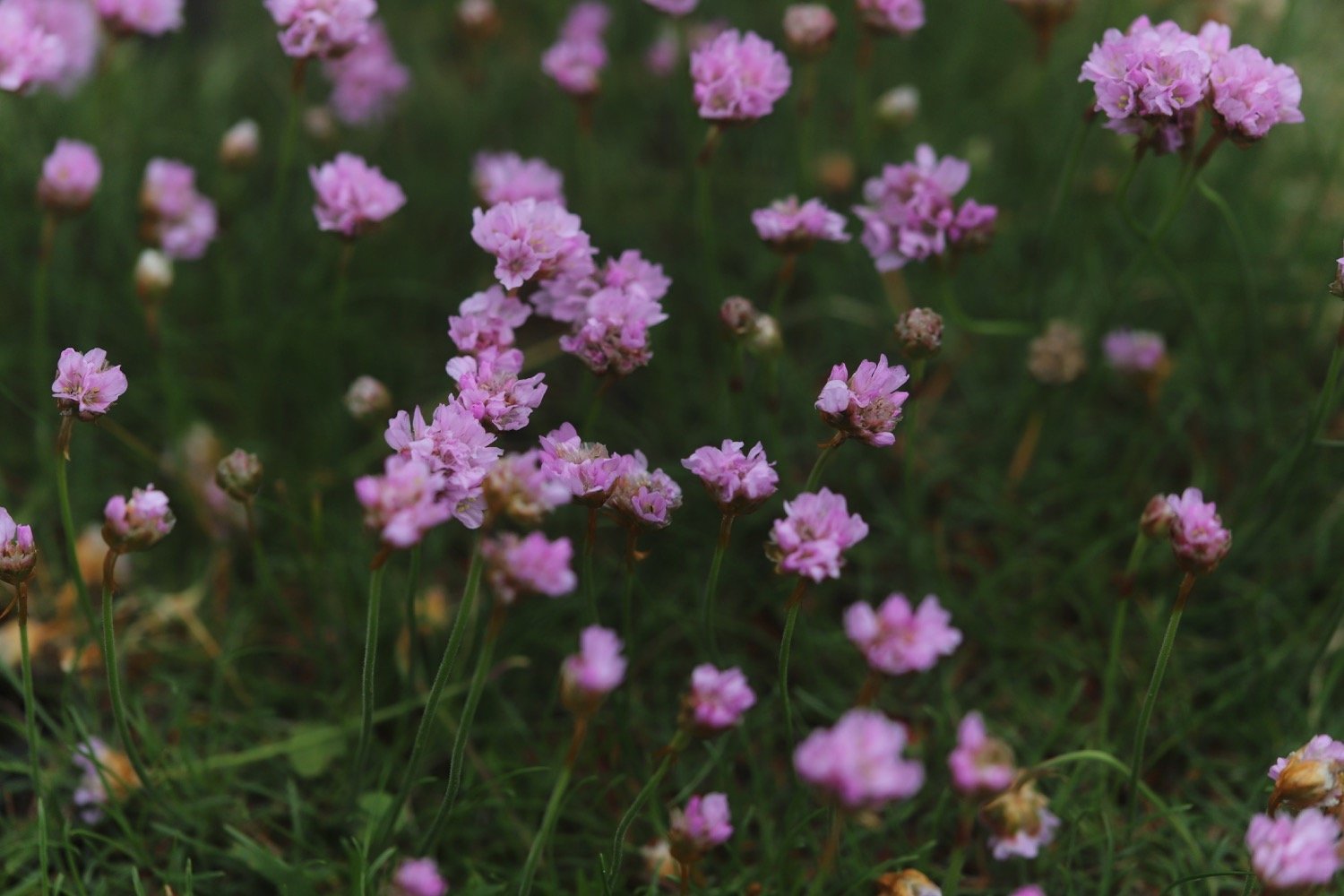
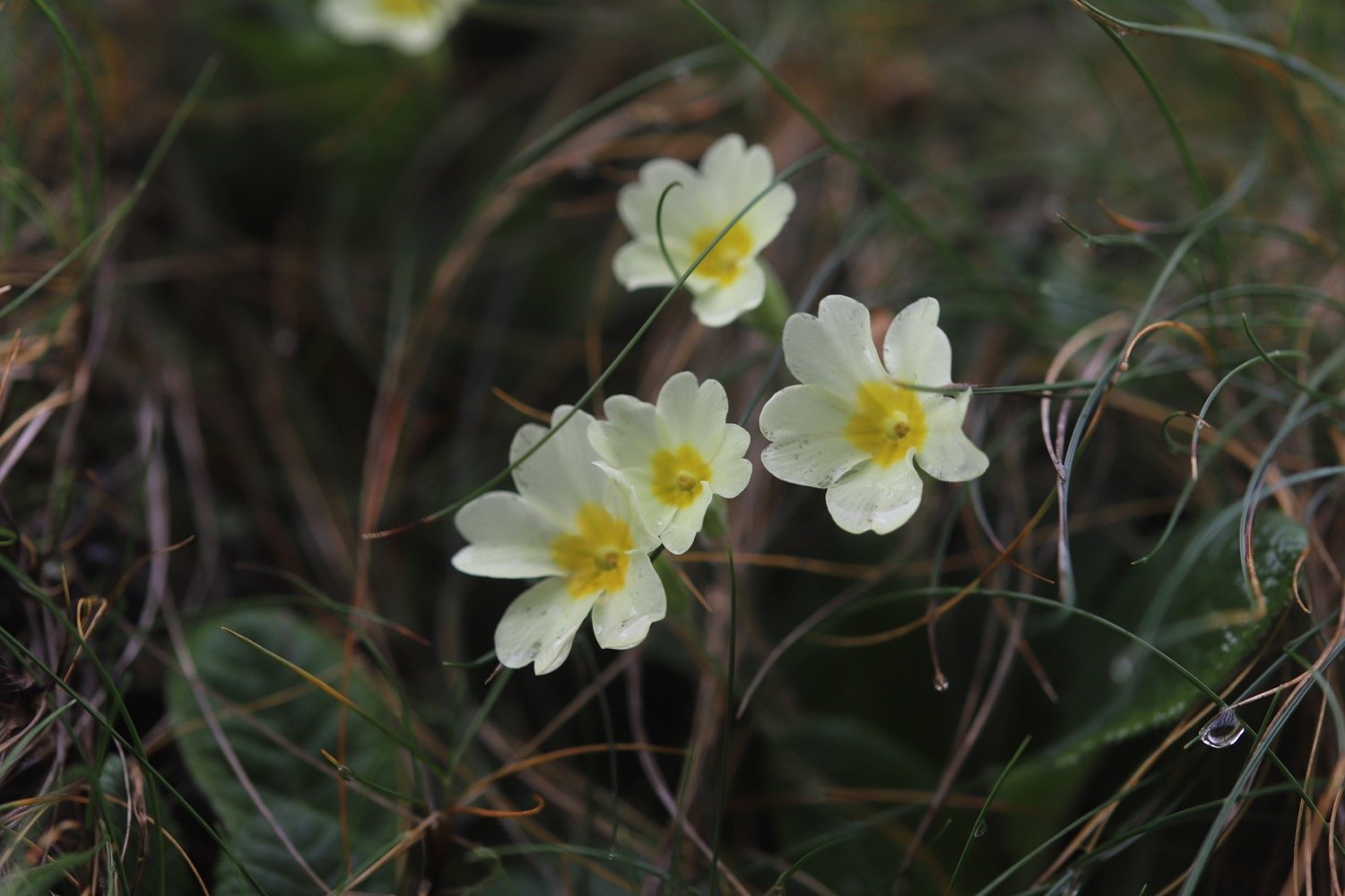
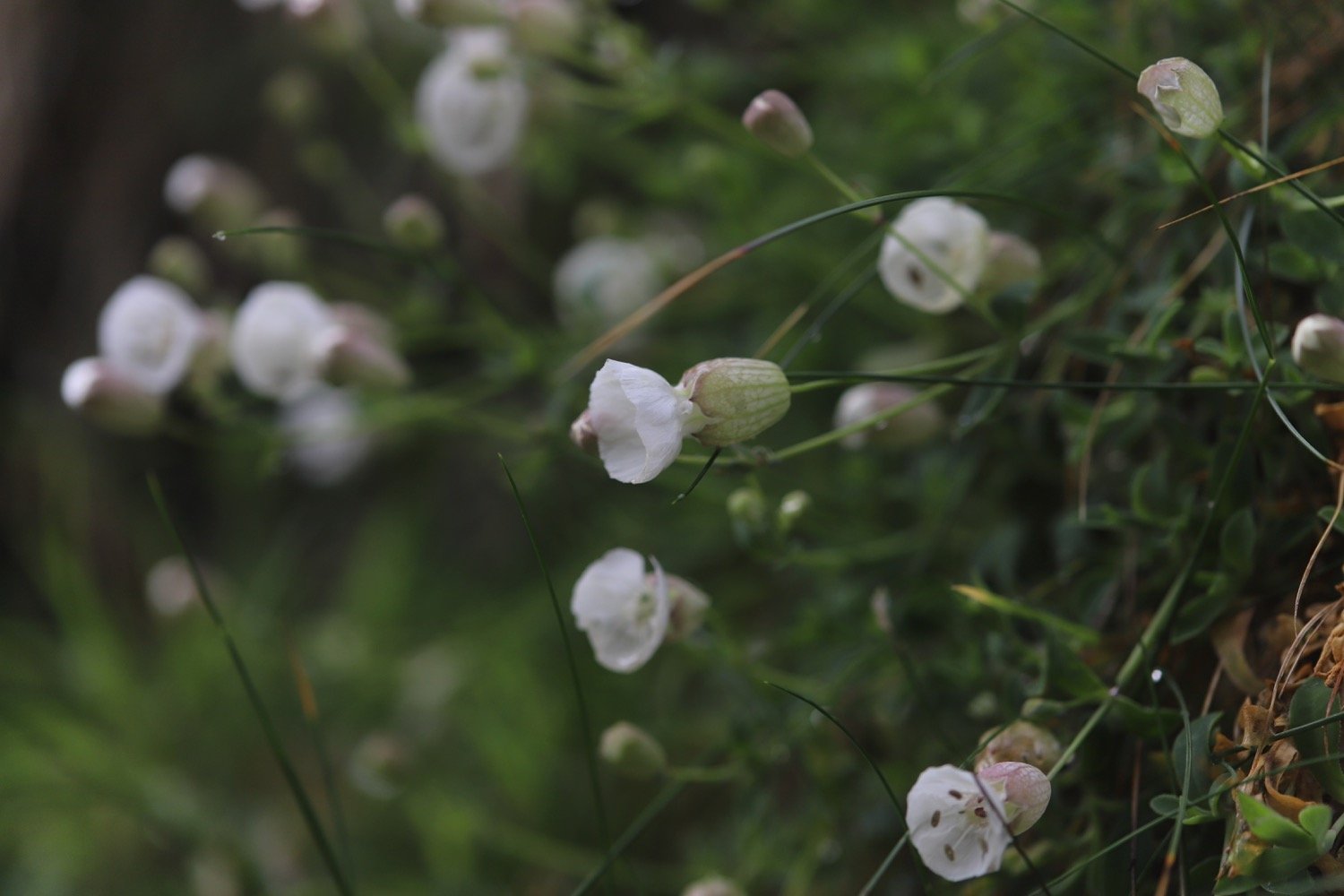
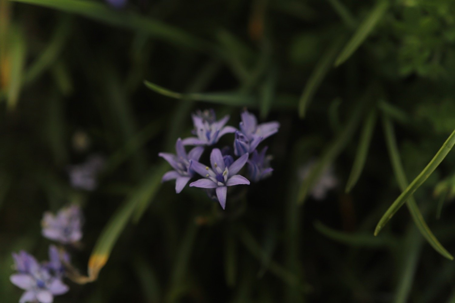
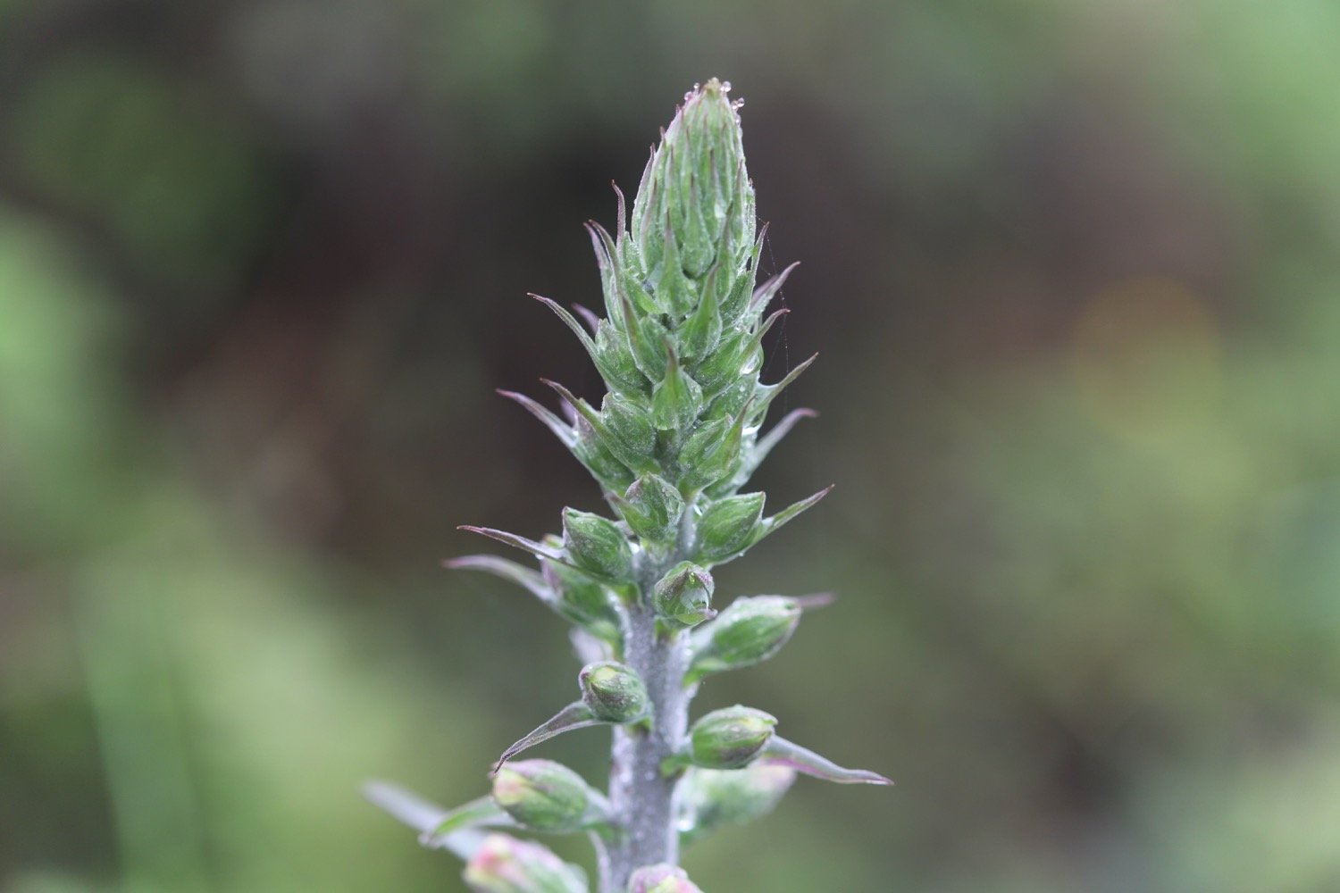
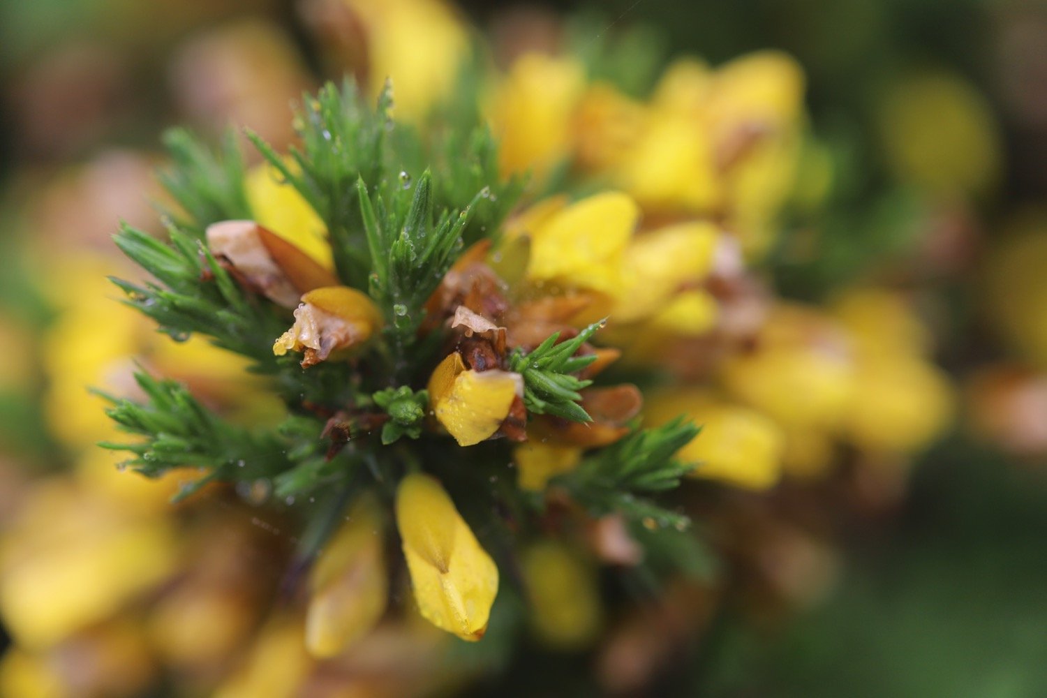
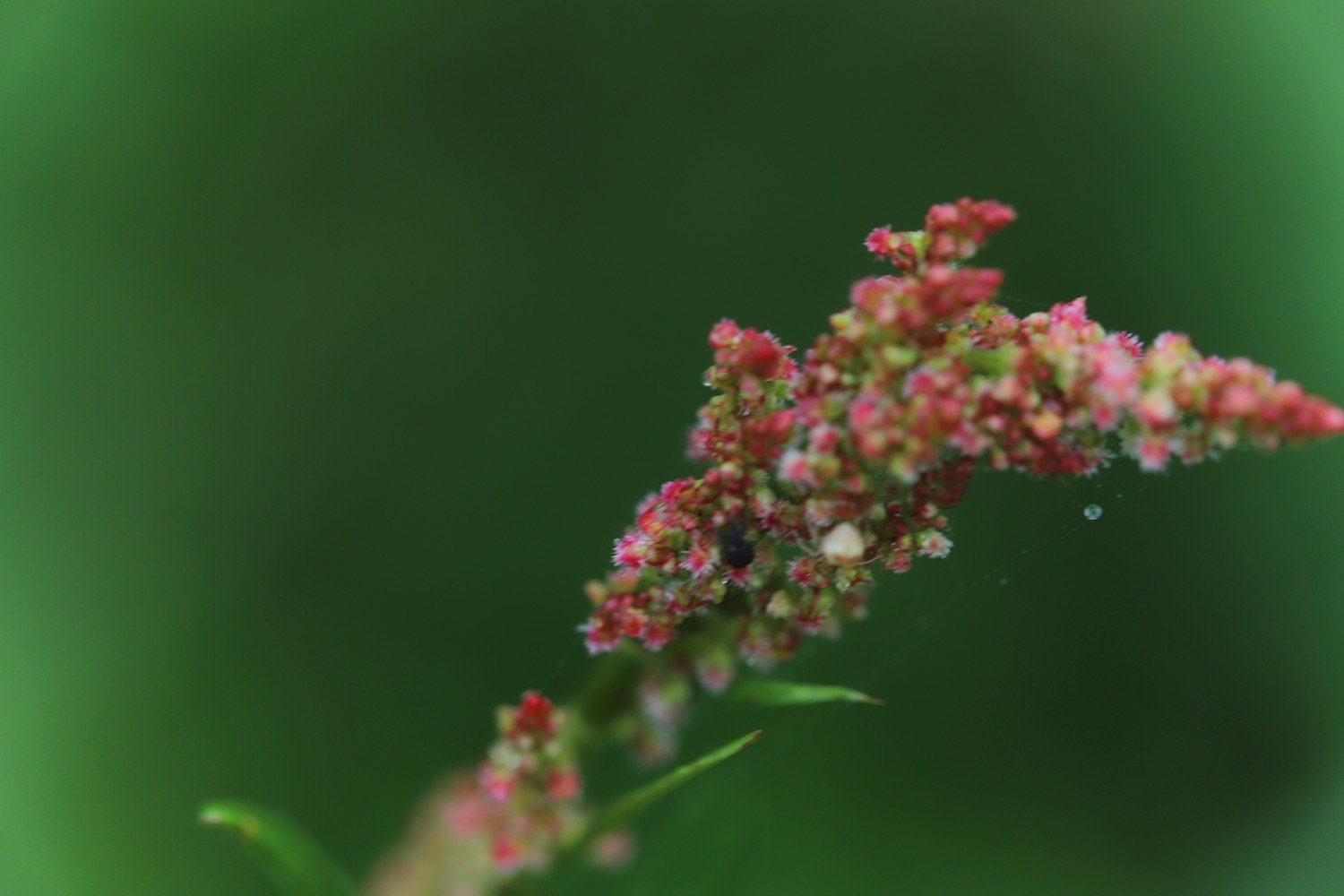
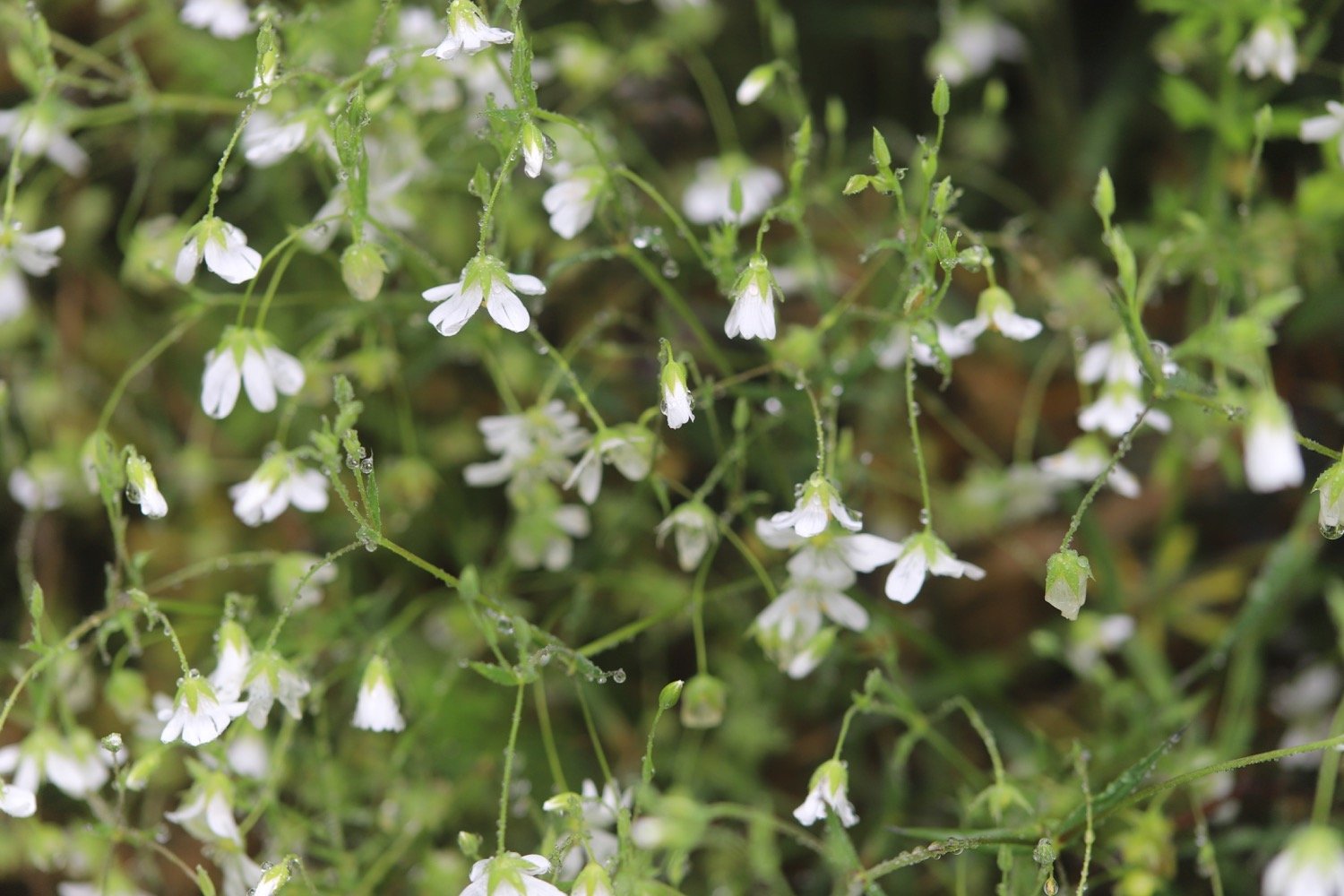
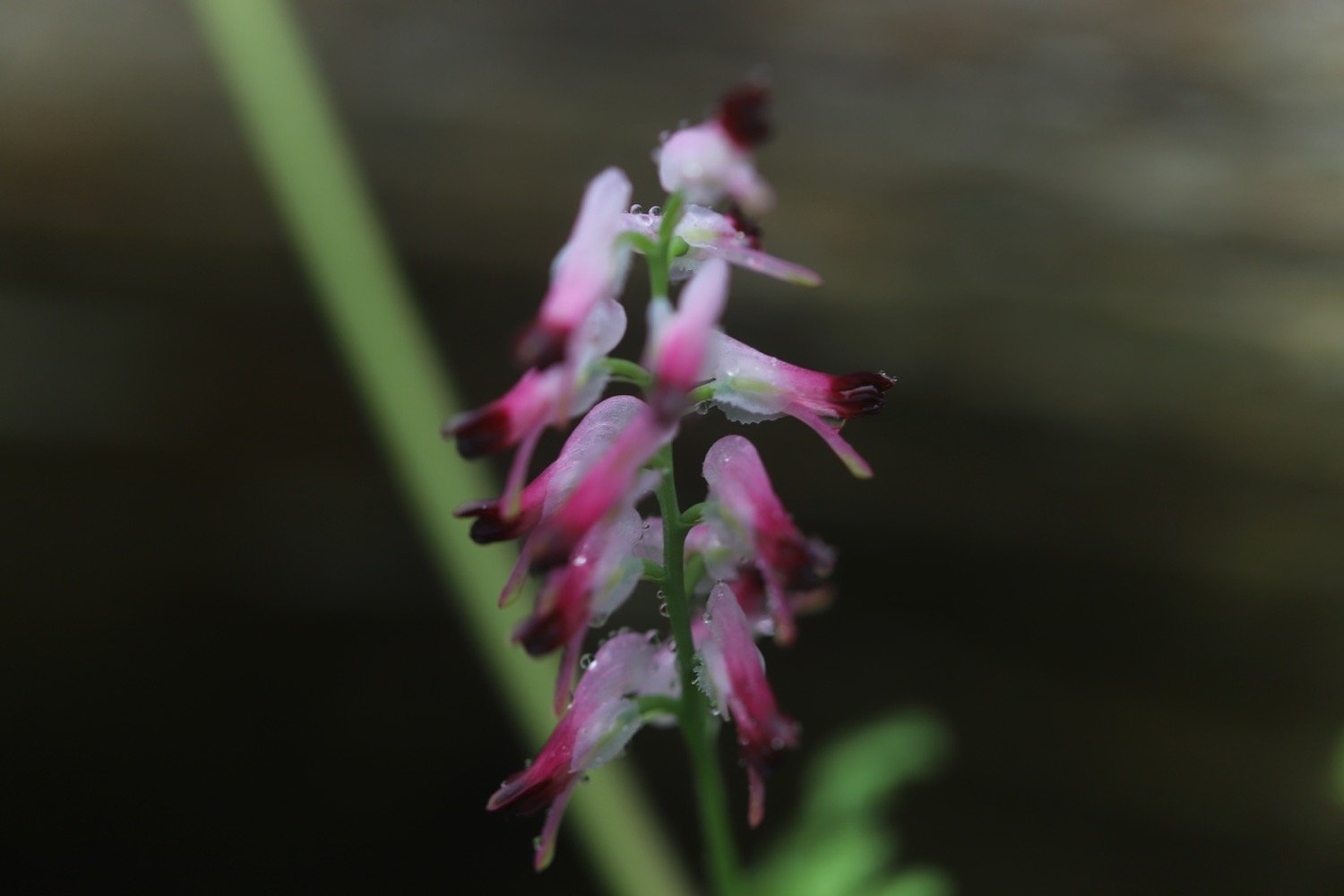
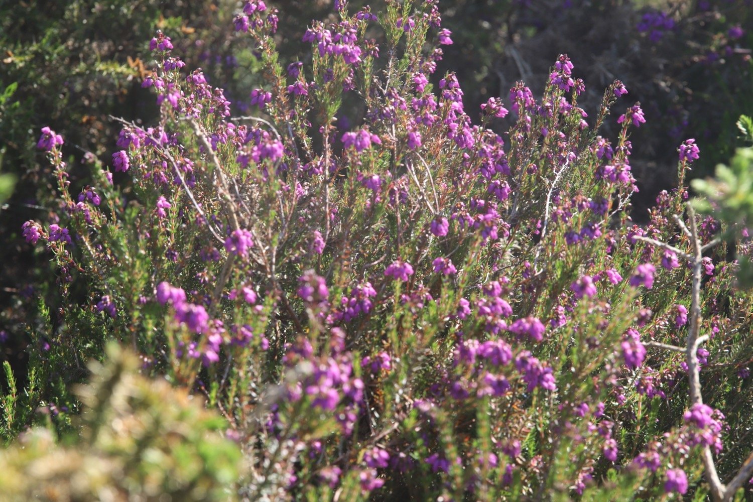
FLORA AND FAUNA
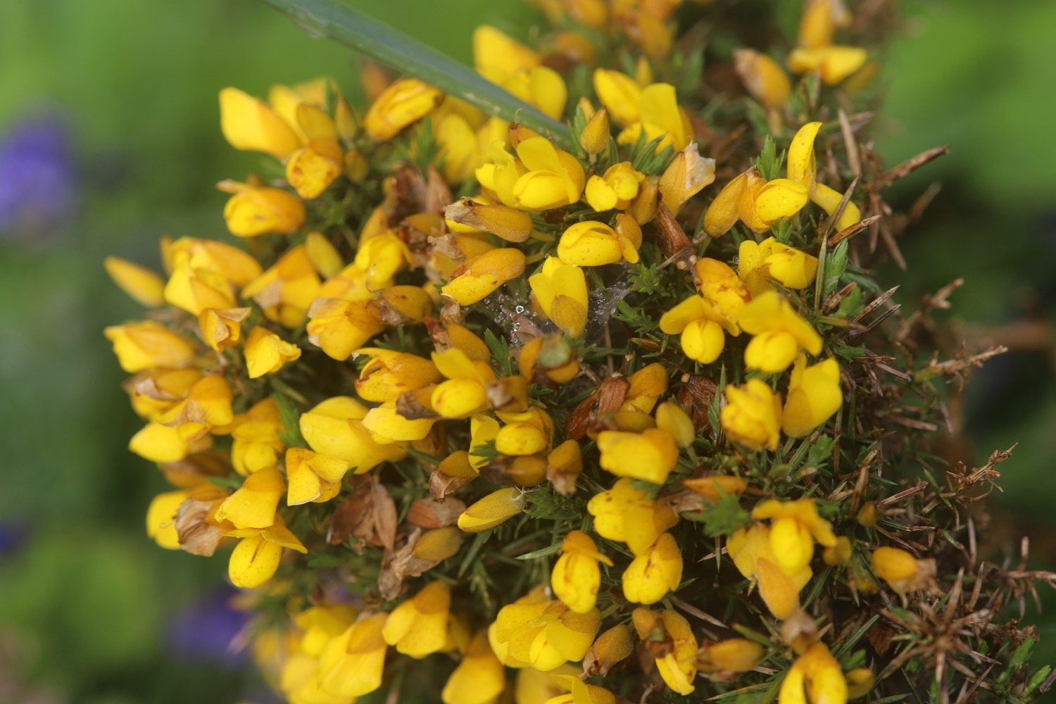
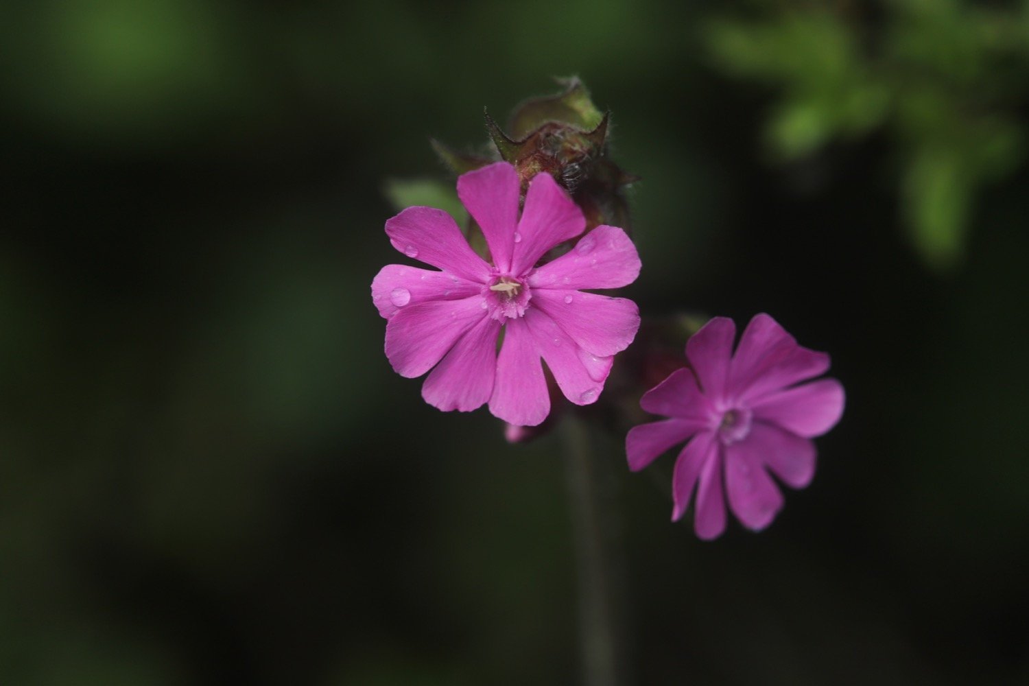
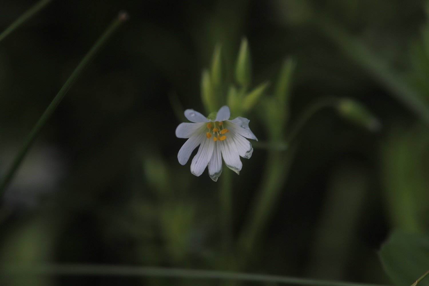
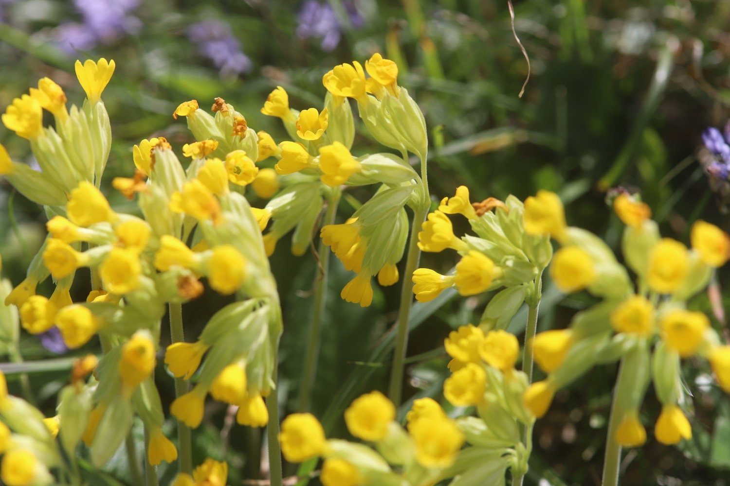
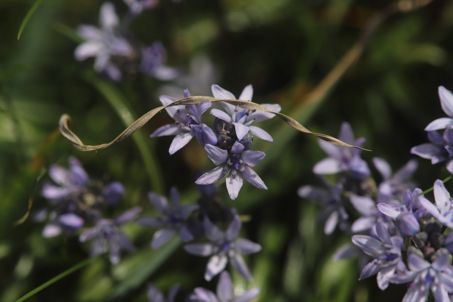
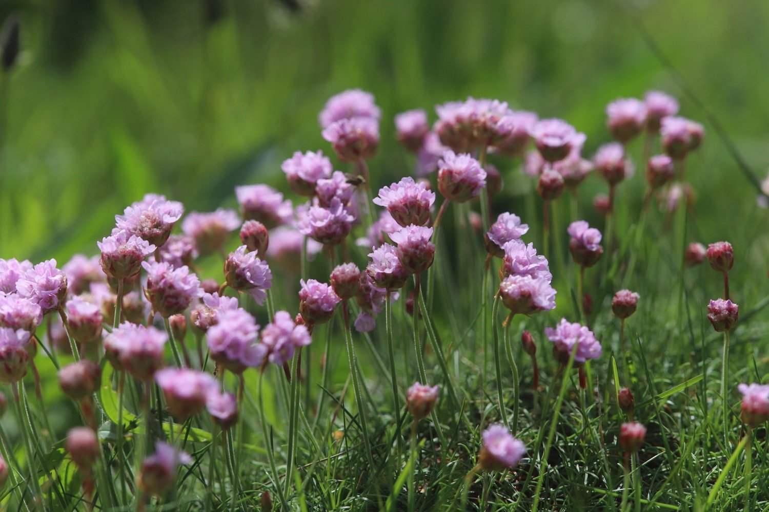
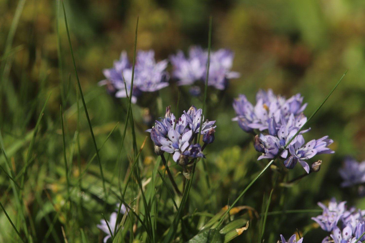
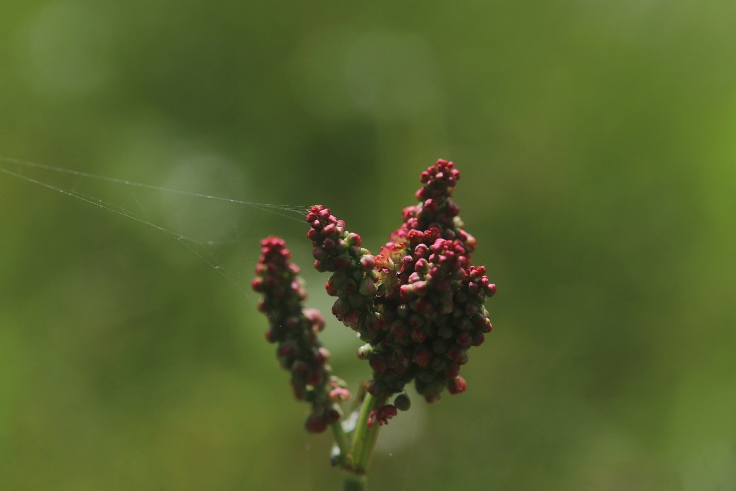
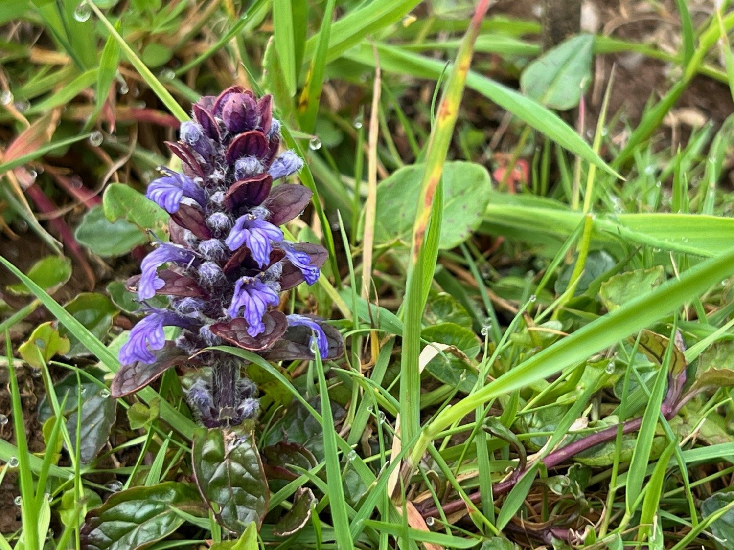
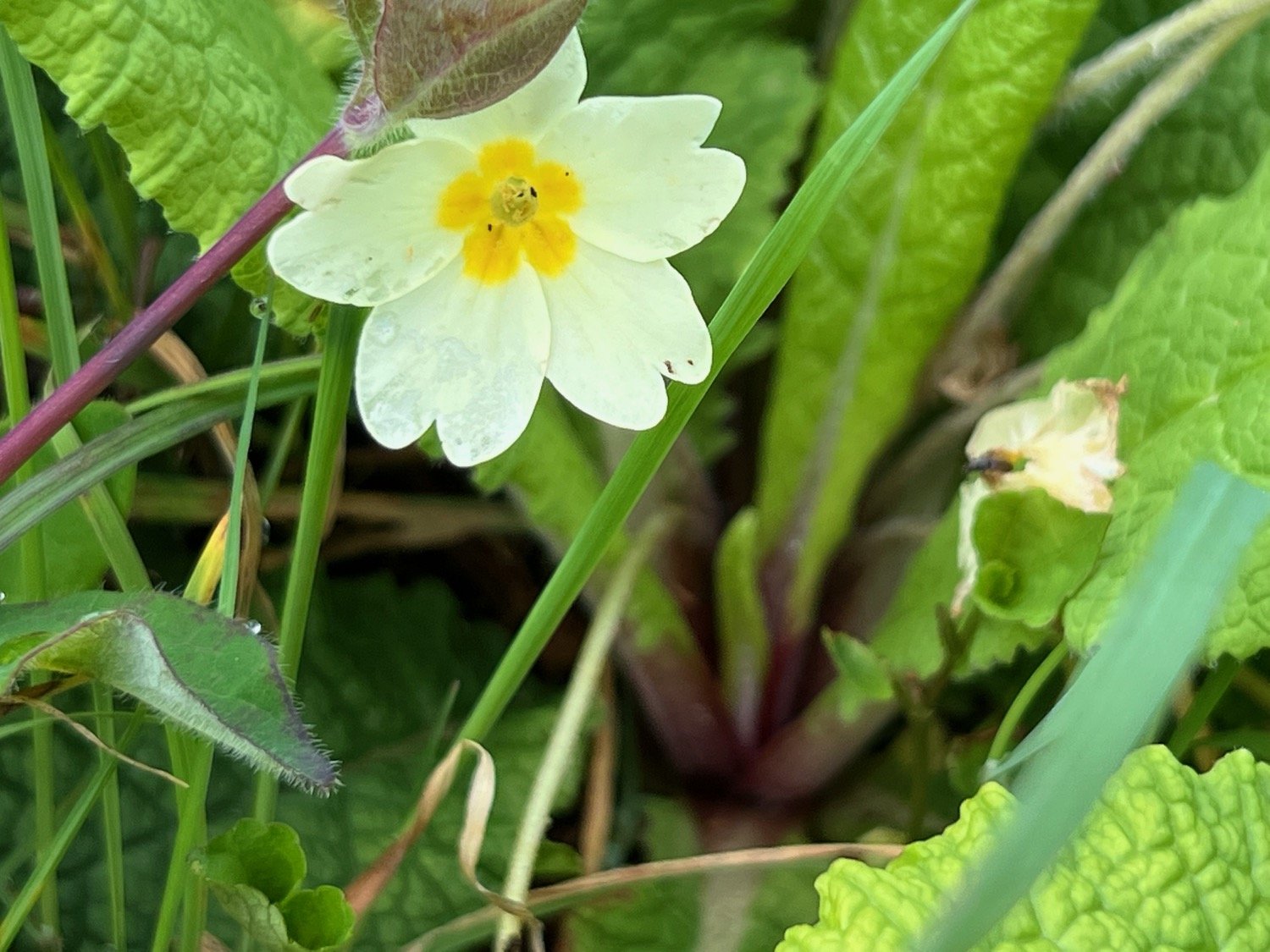
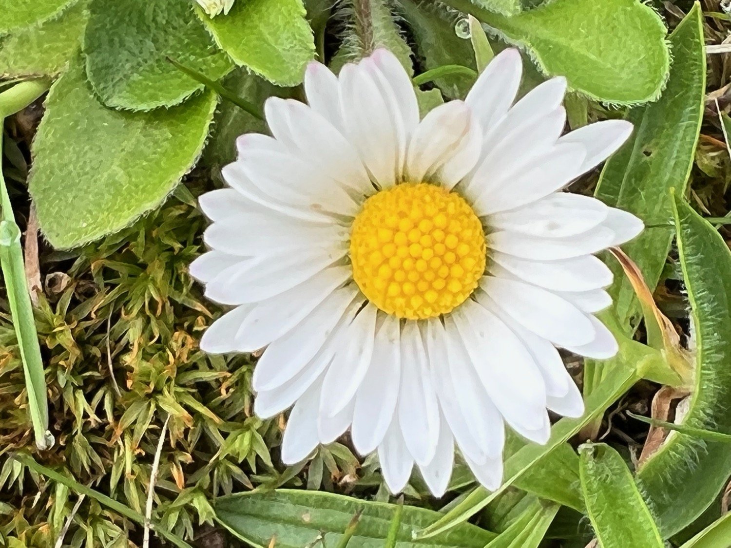
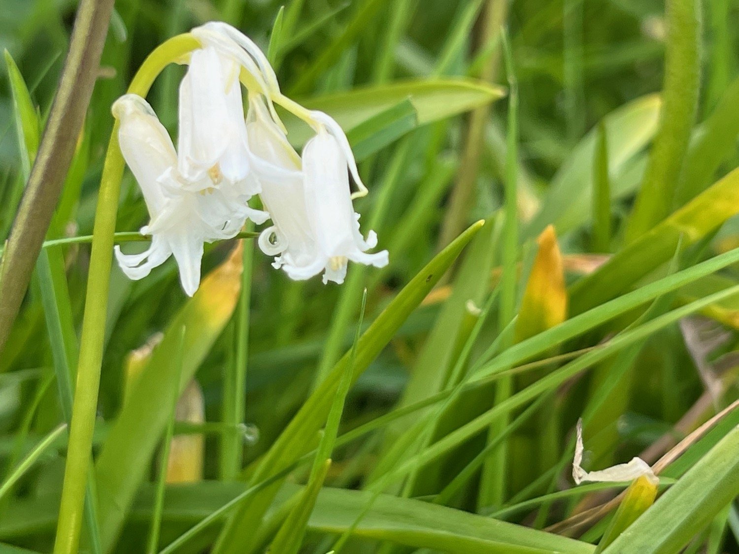
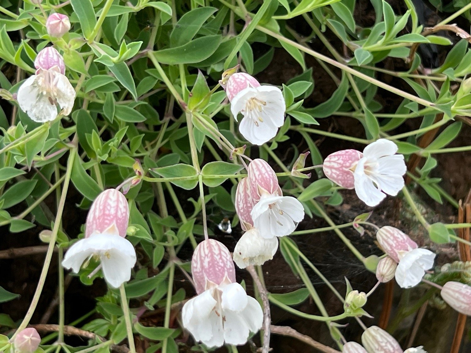
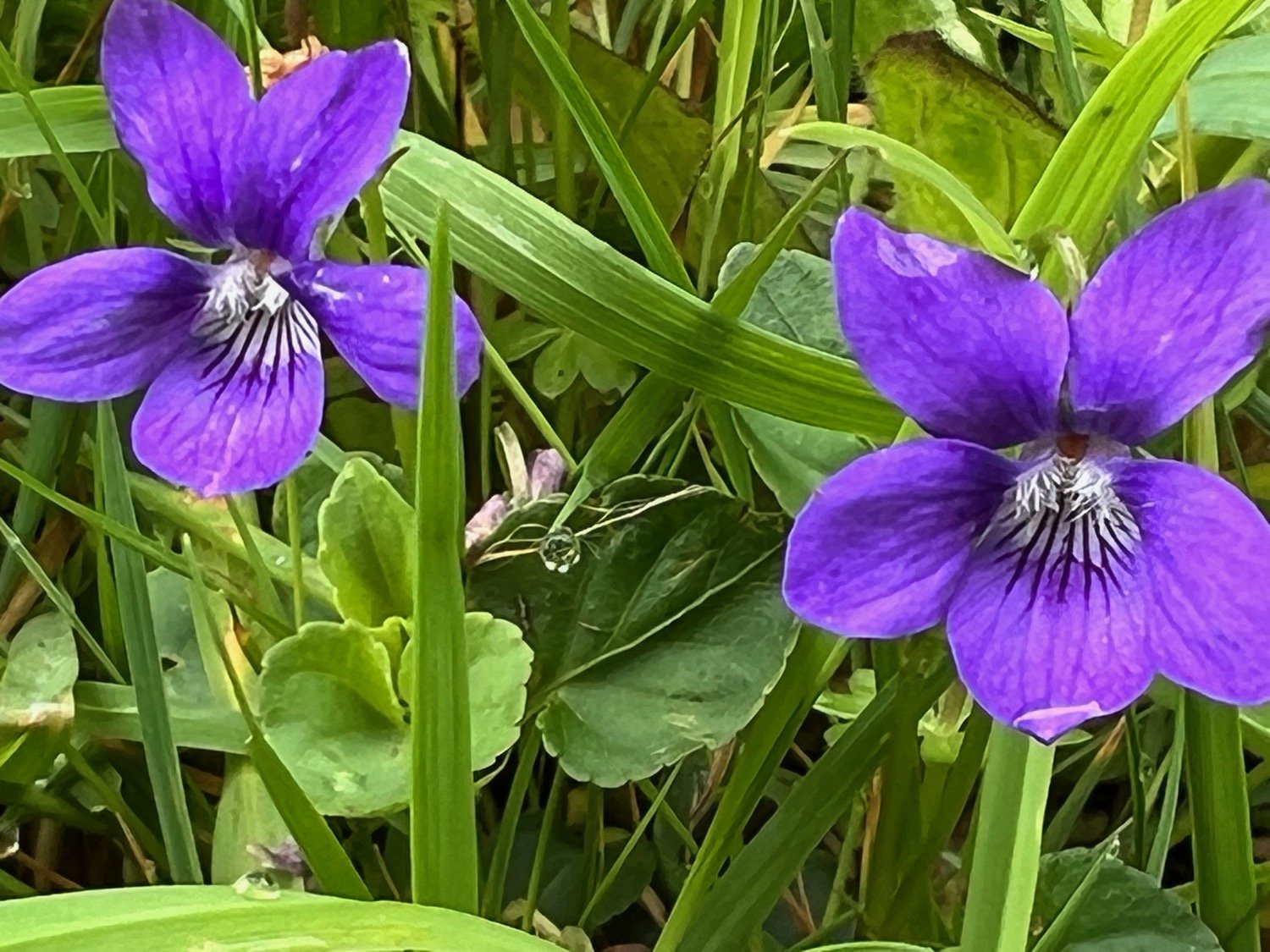
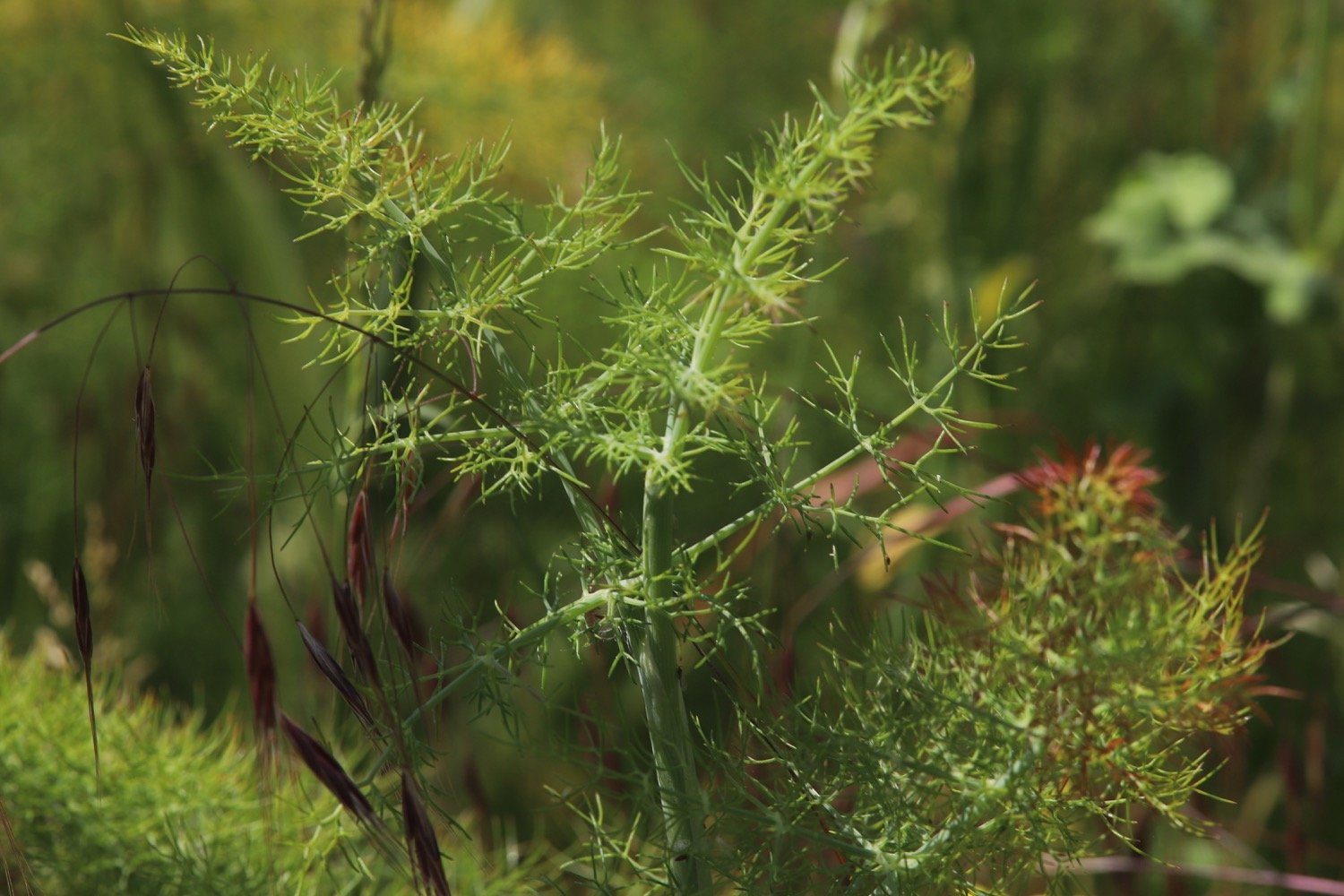
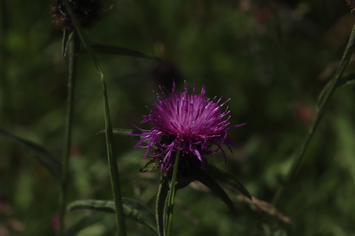
Flora and fauna encountered on the walk today includes :-
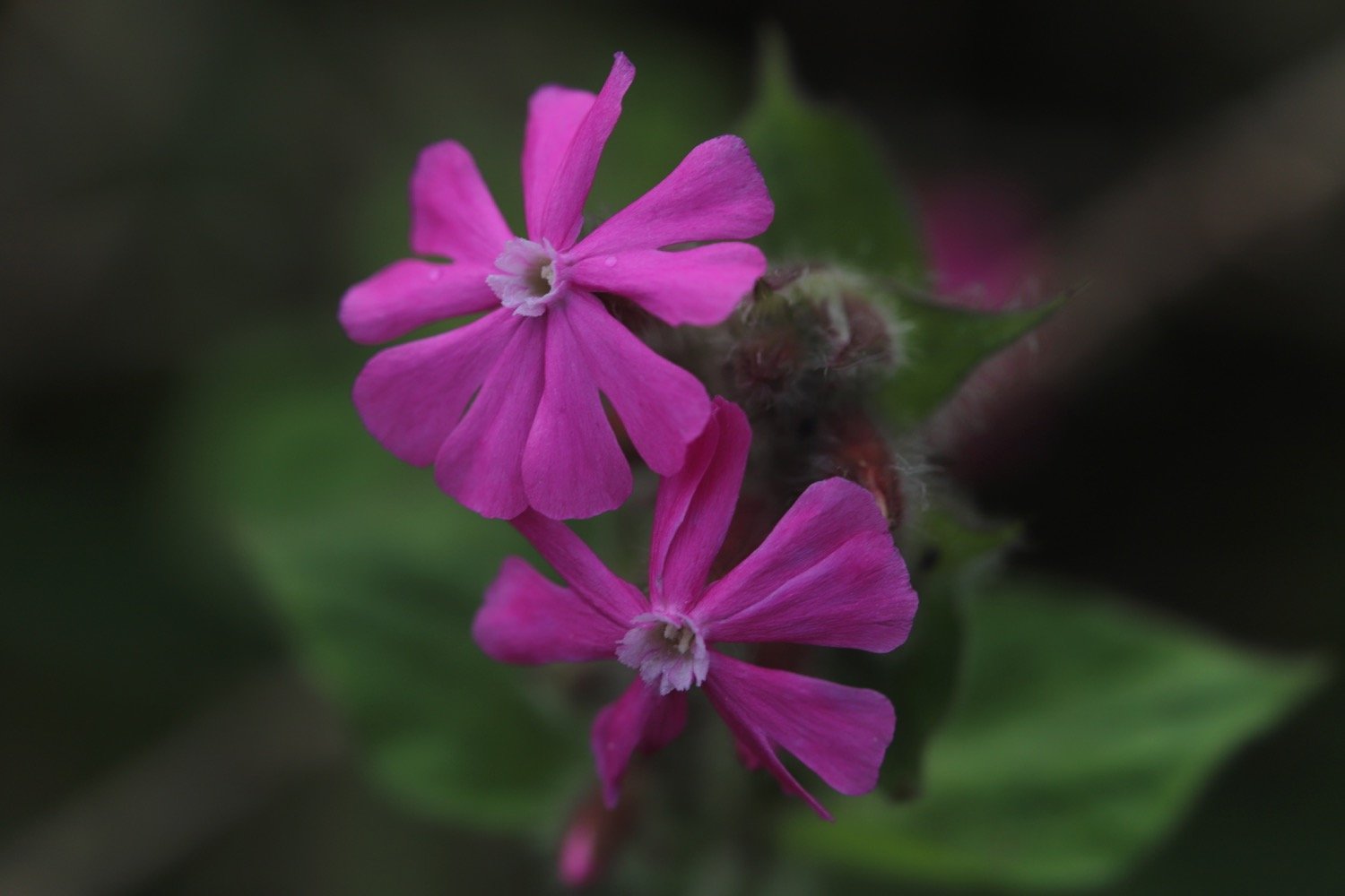
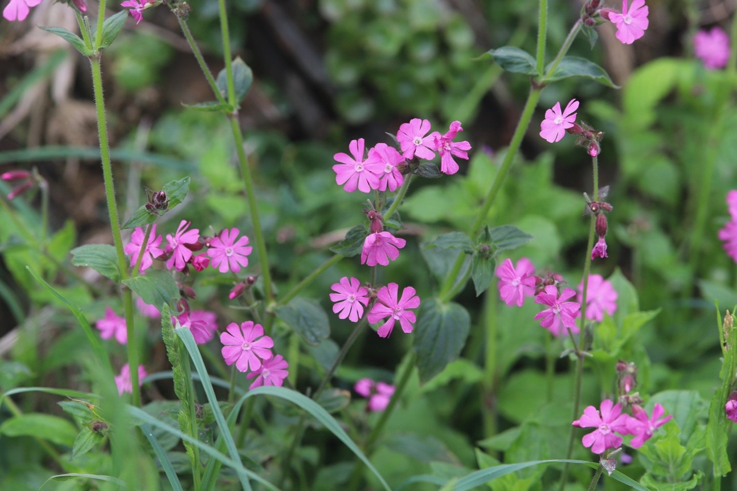
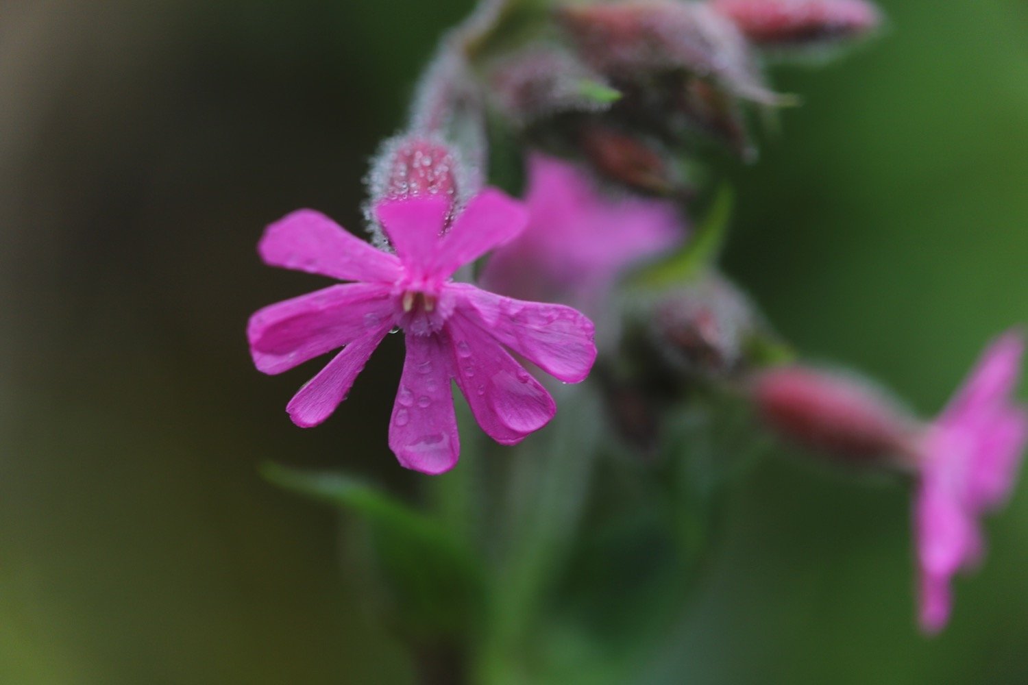
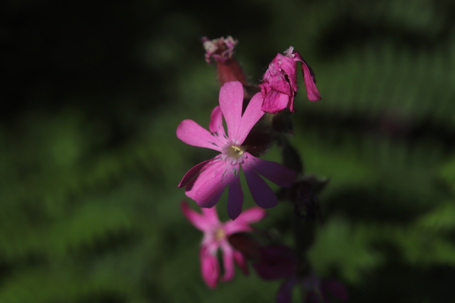
red campion
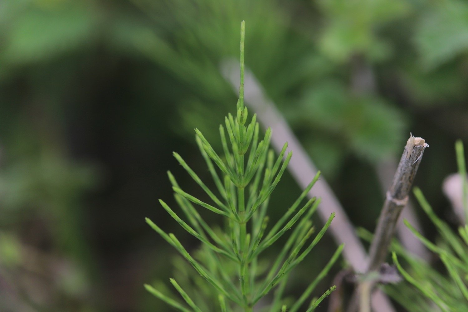
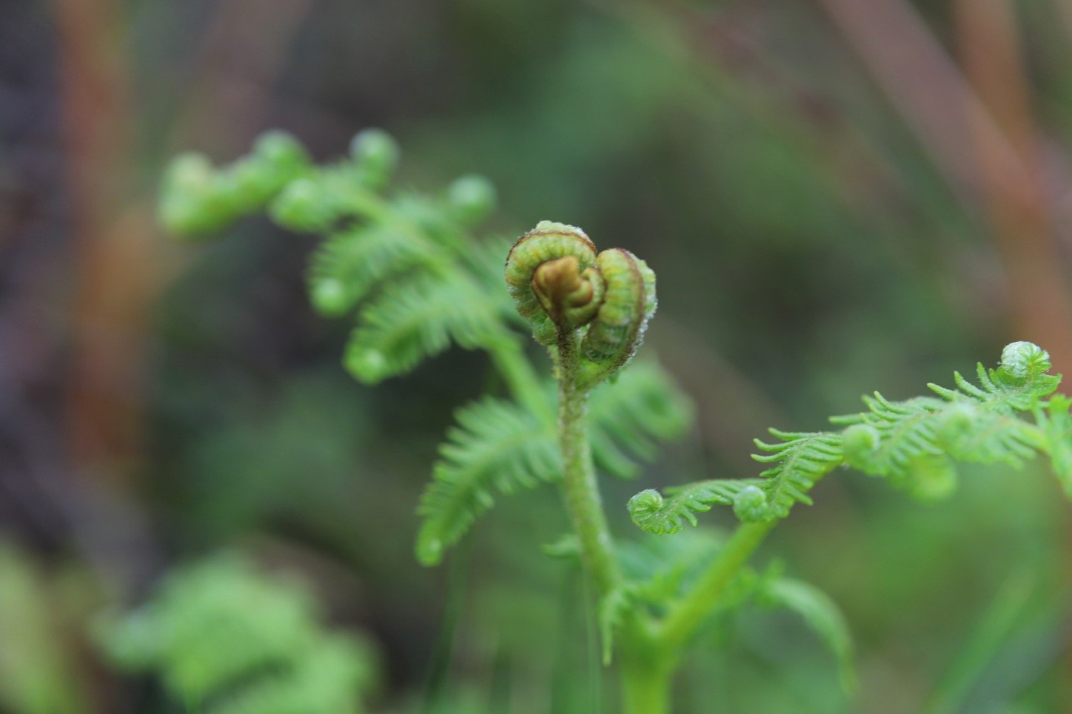
bracken
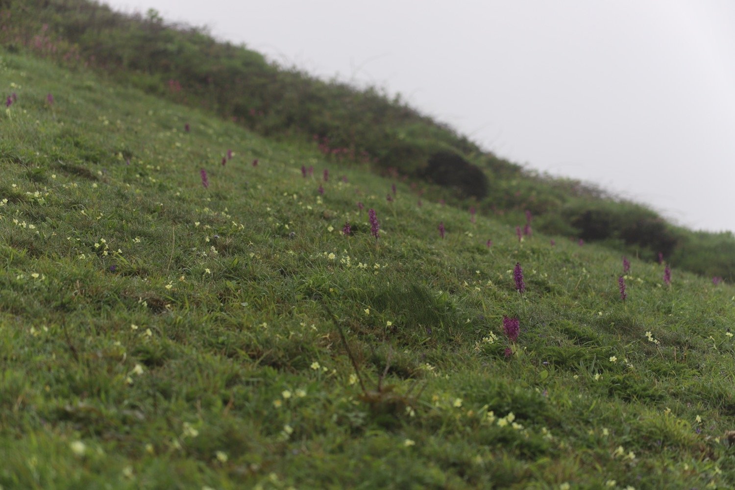
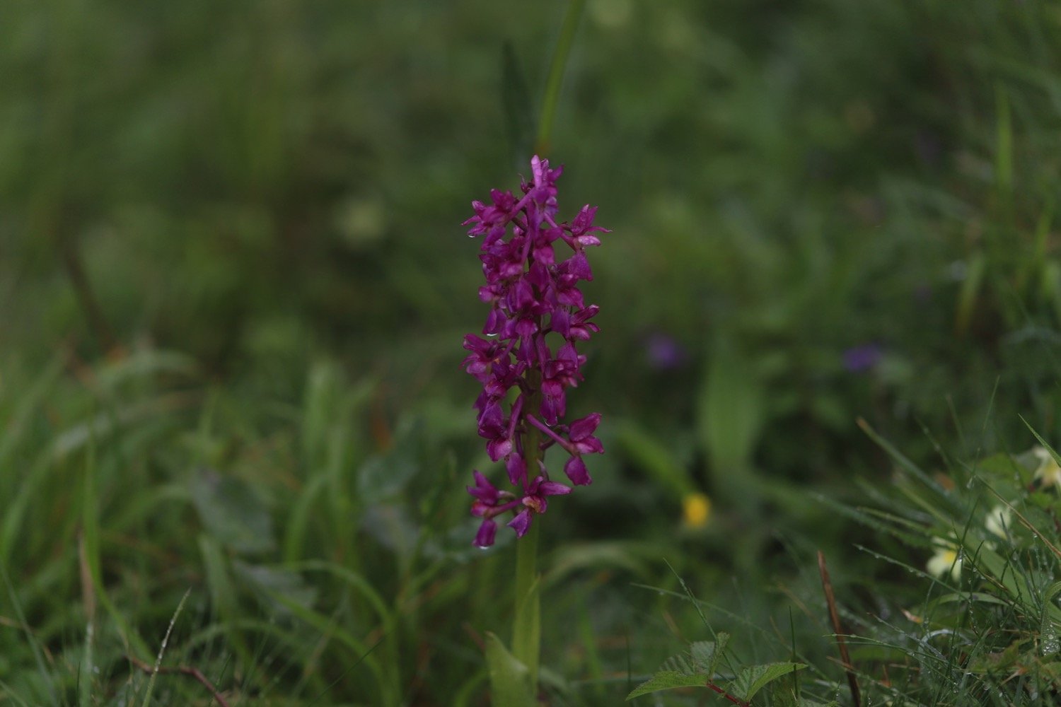
common spotted orchids
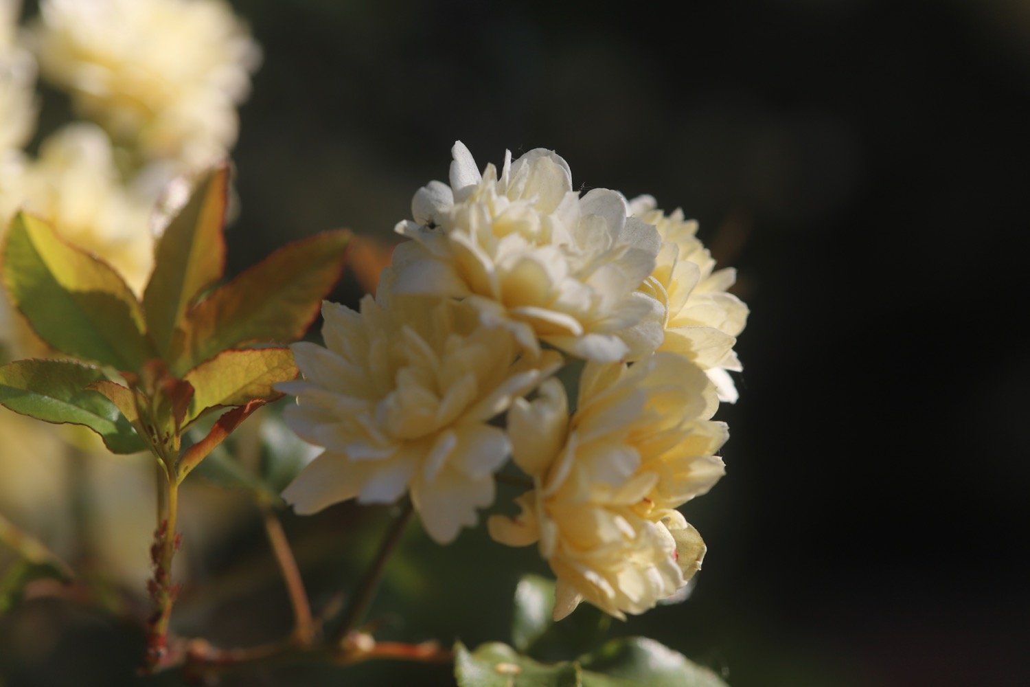
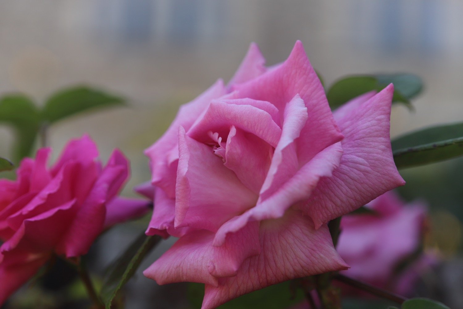
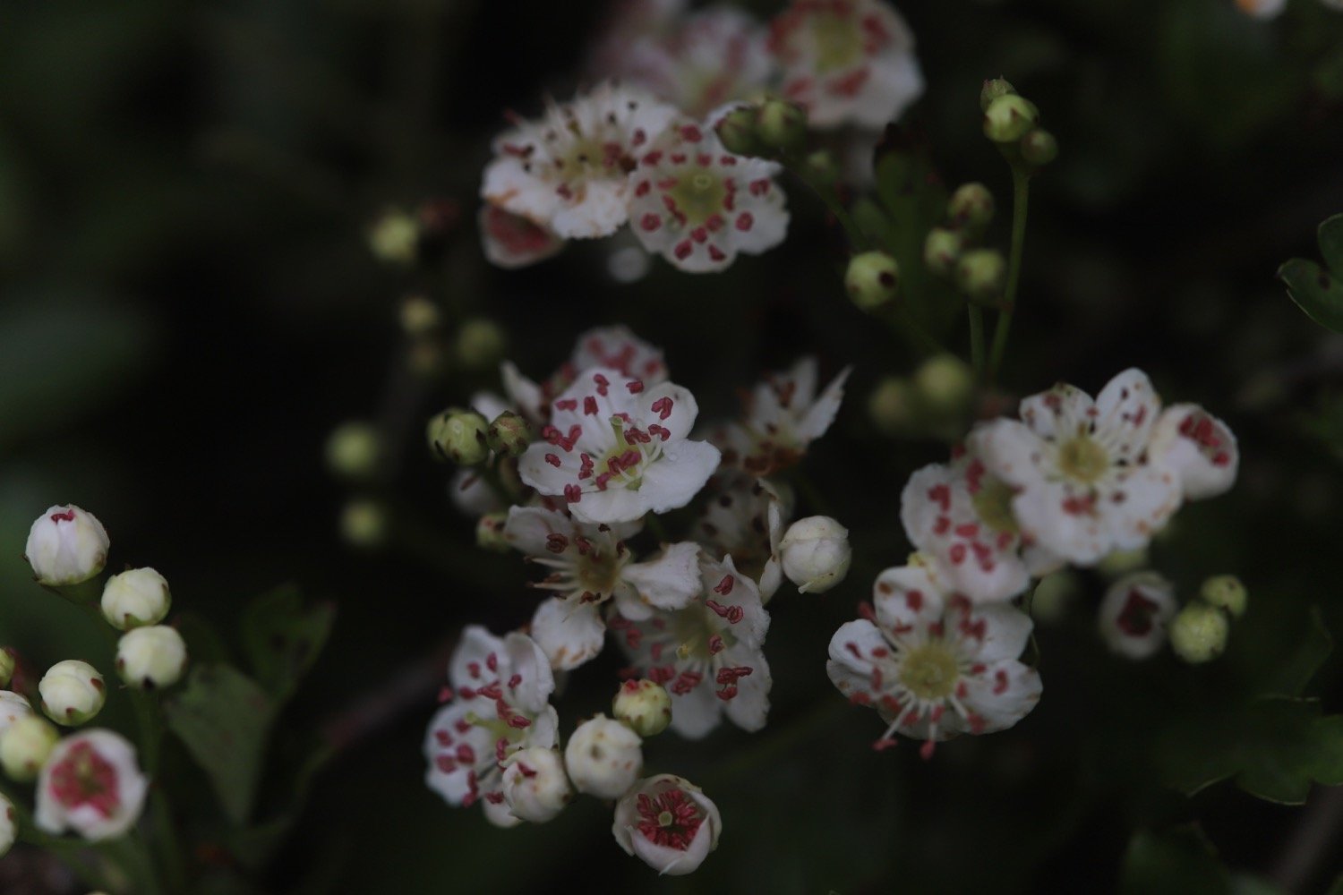
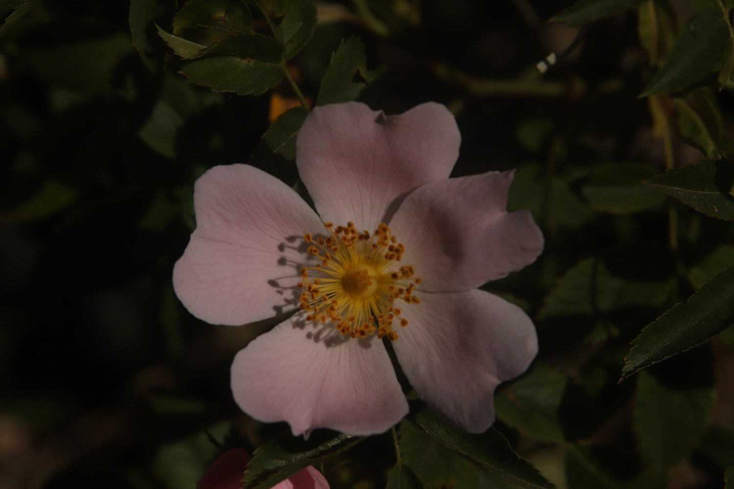
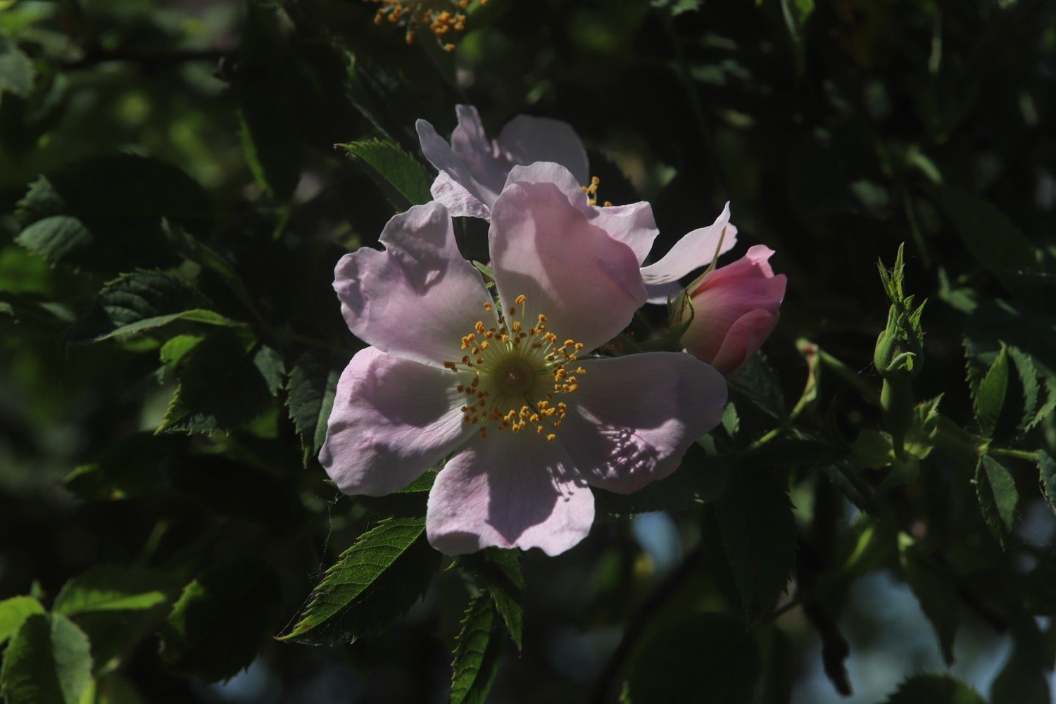
roses
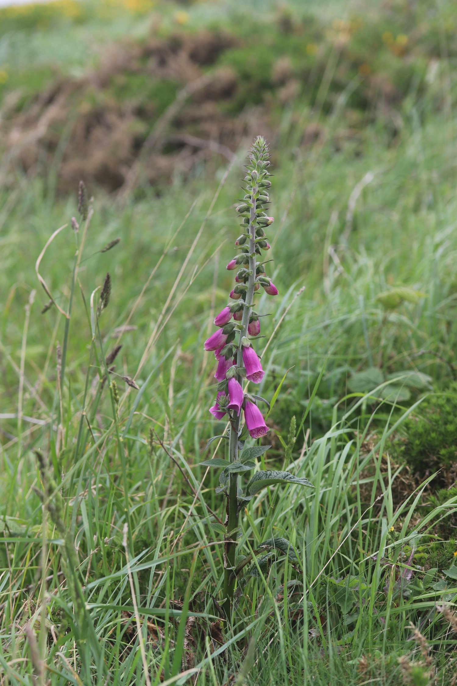
foxgloves
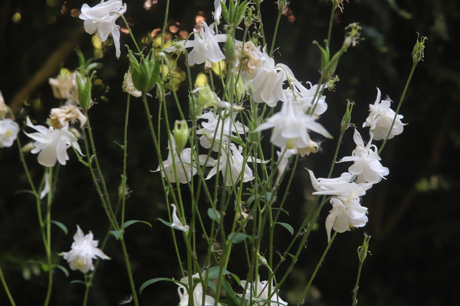
aqualegia
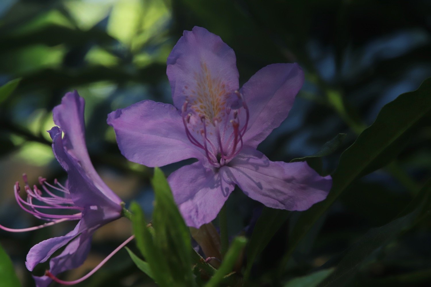
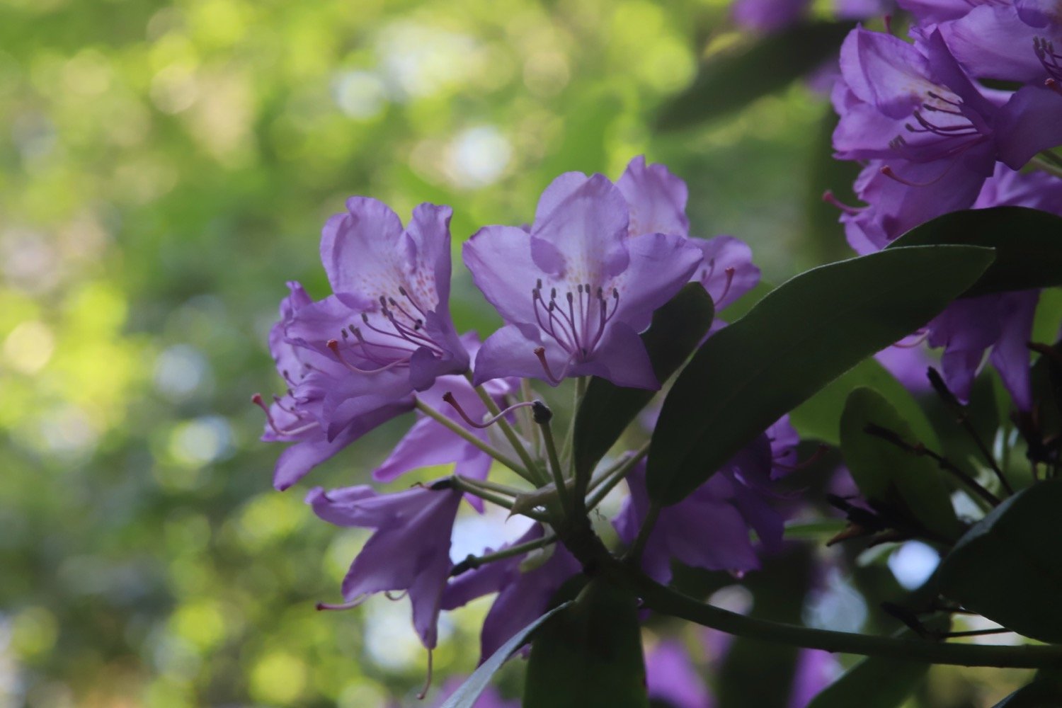
rhododendrons
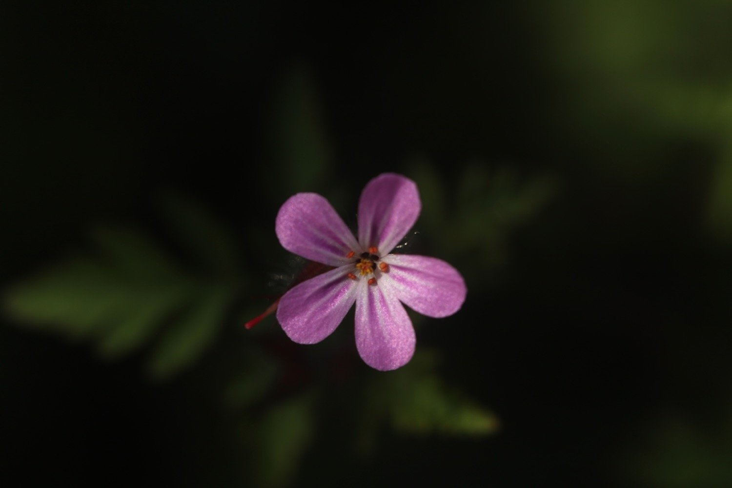
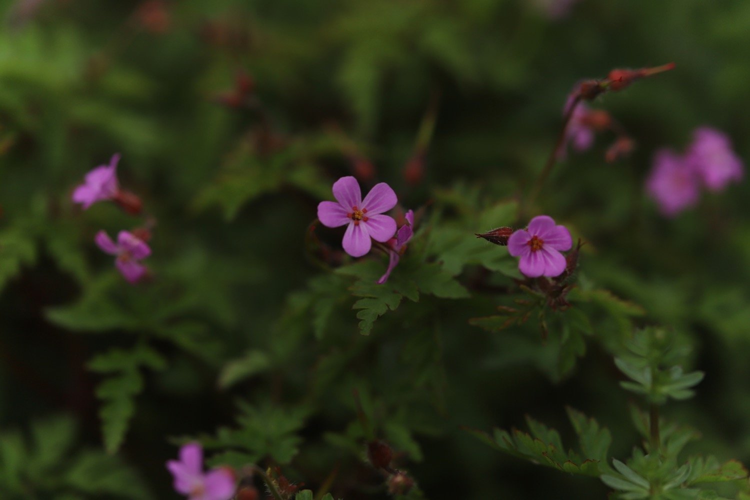
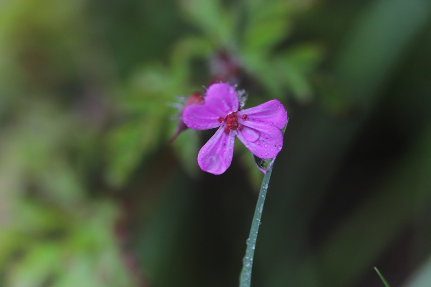
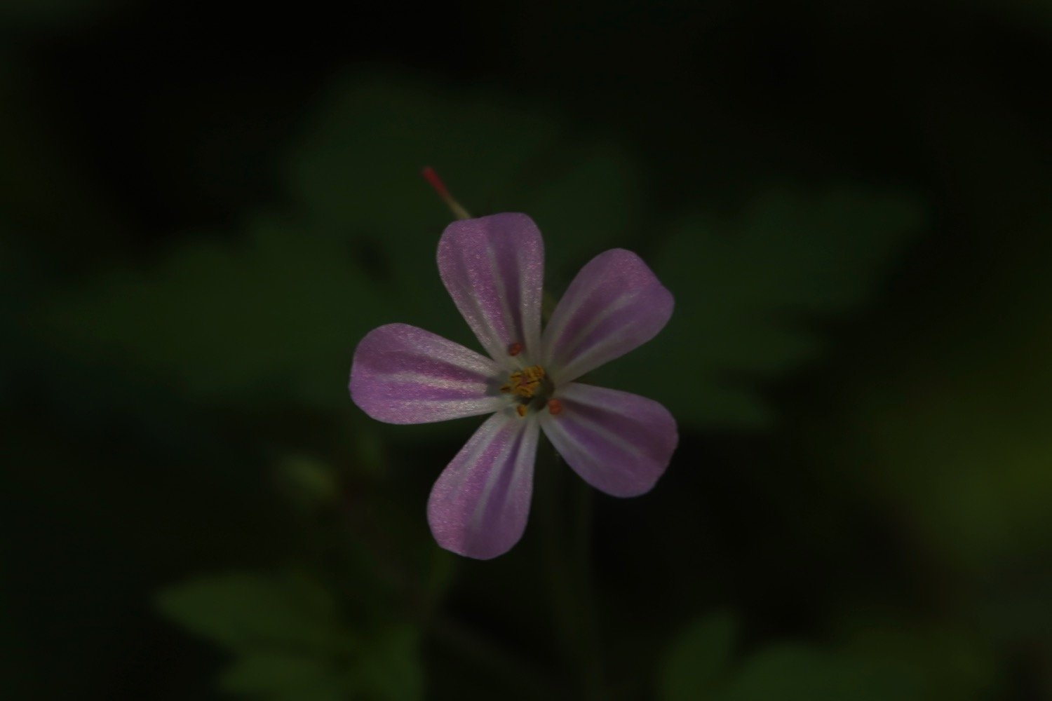
herb robert
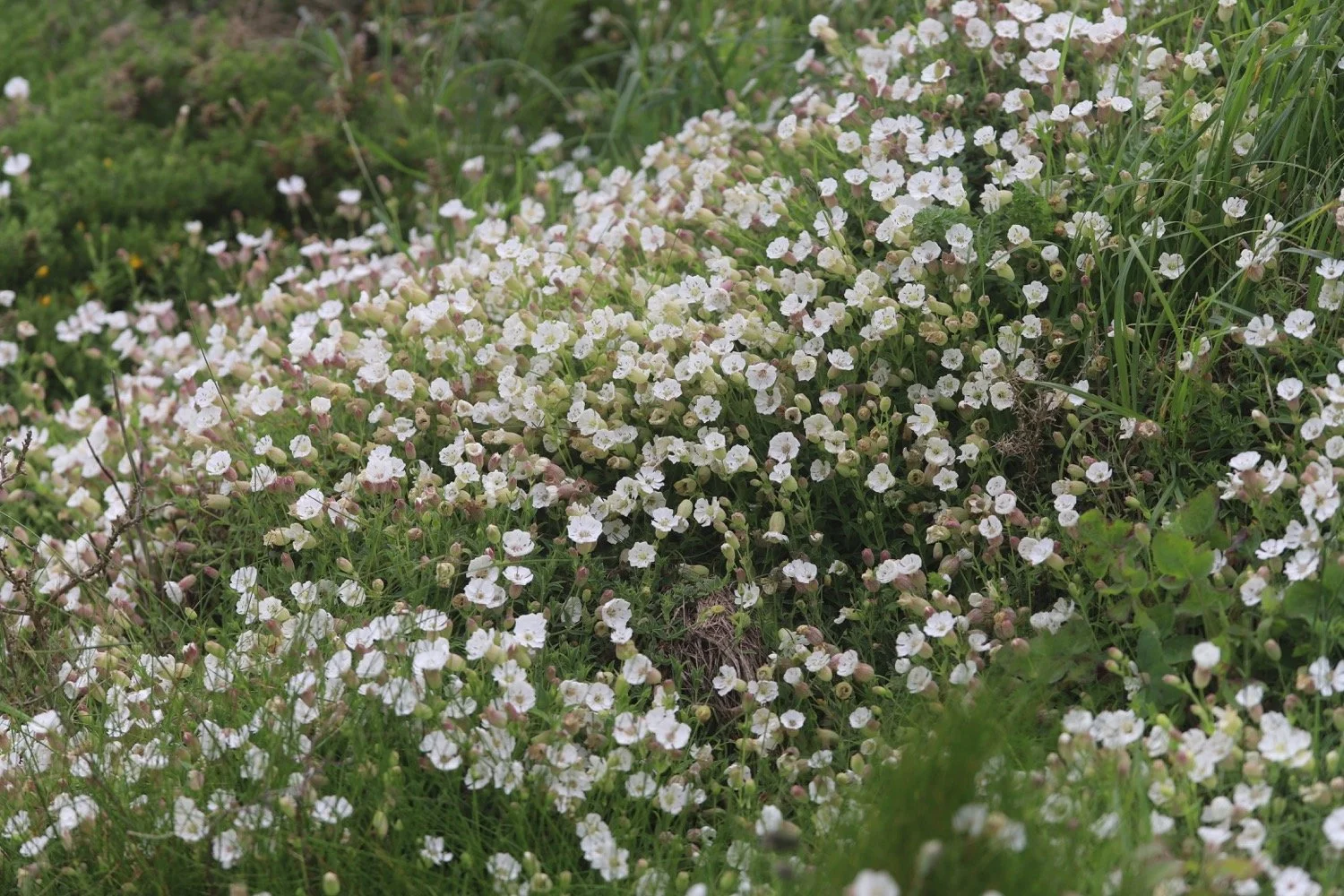
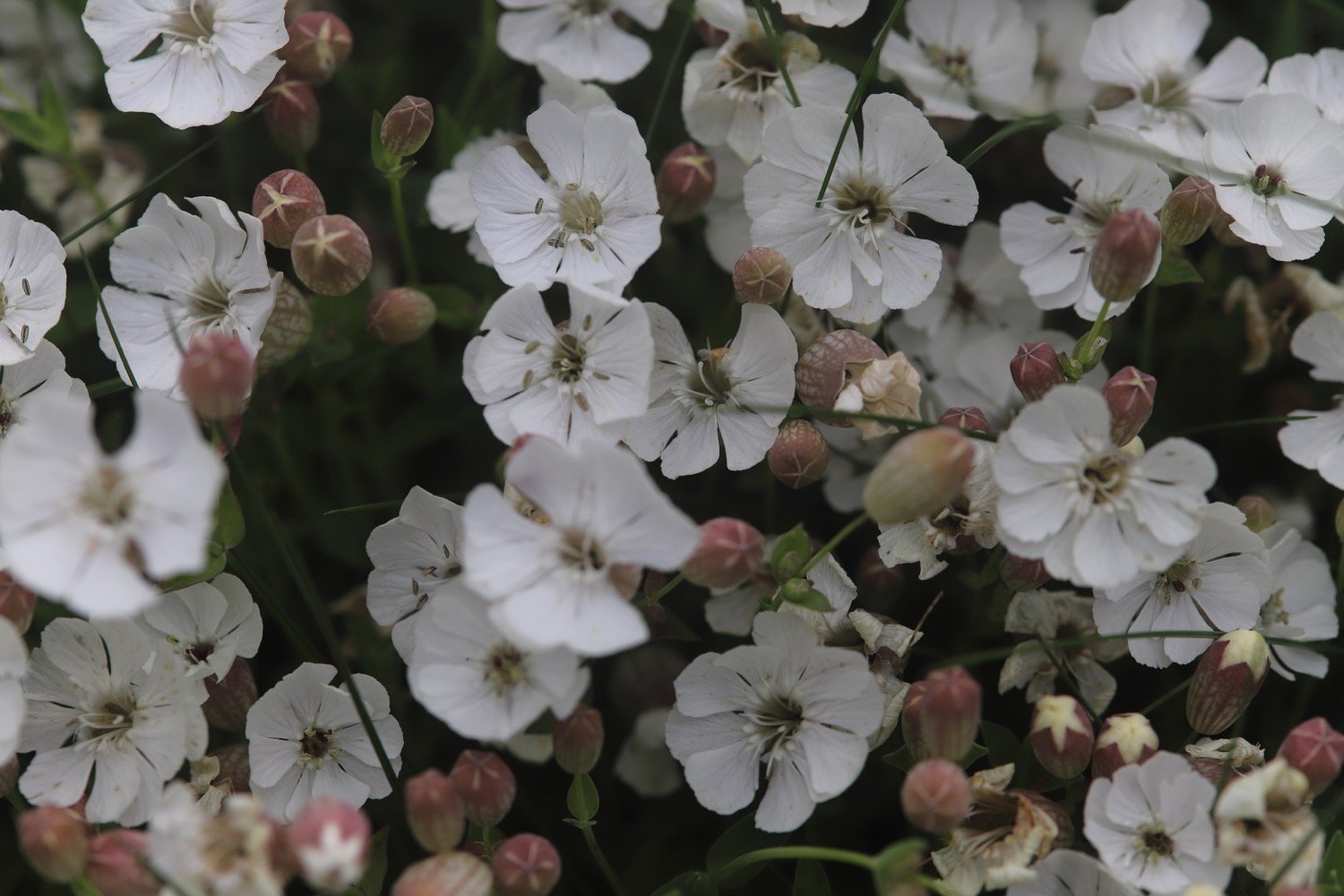
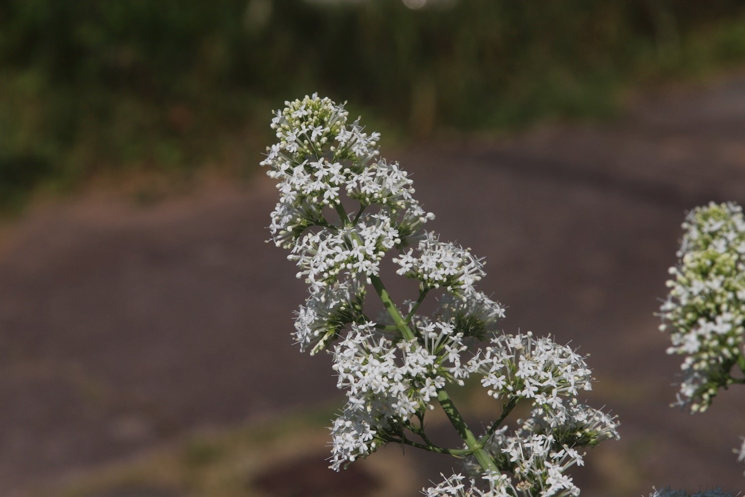
white valerian
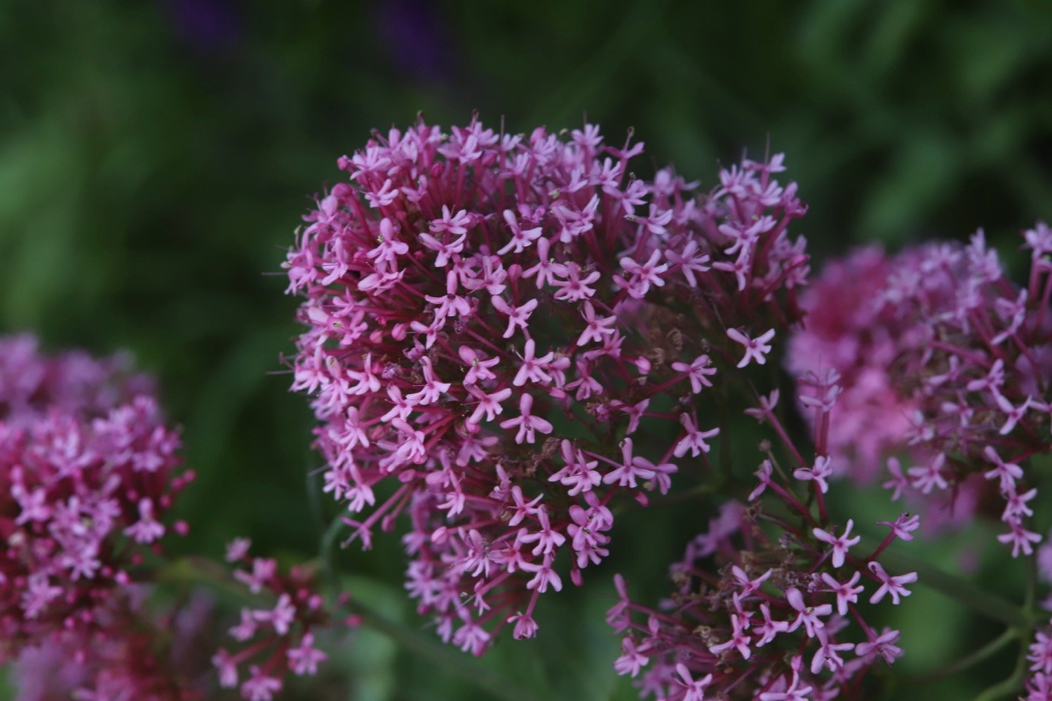
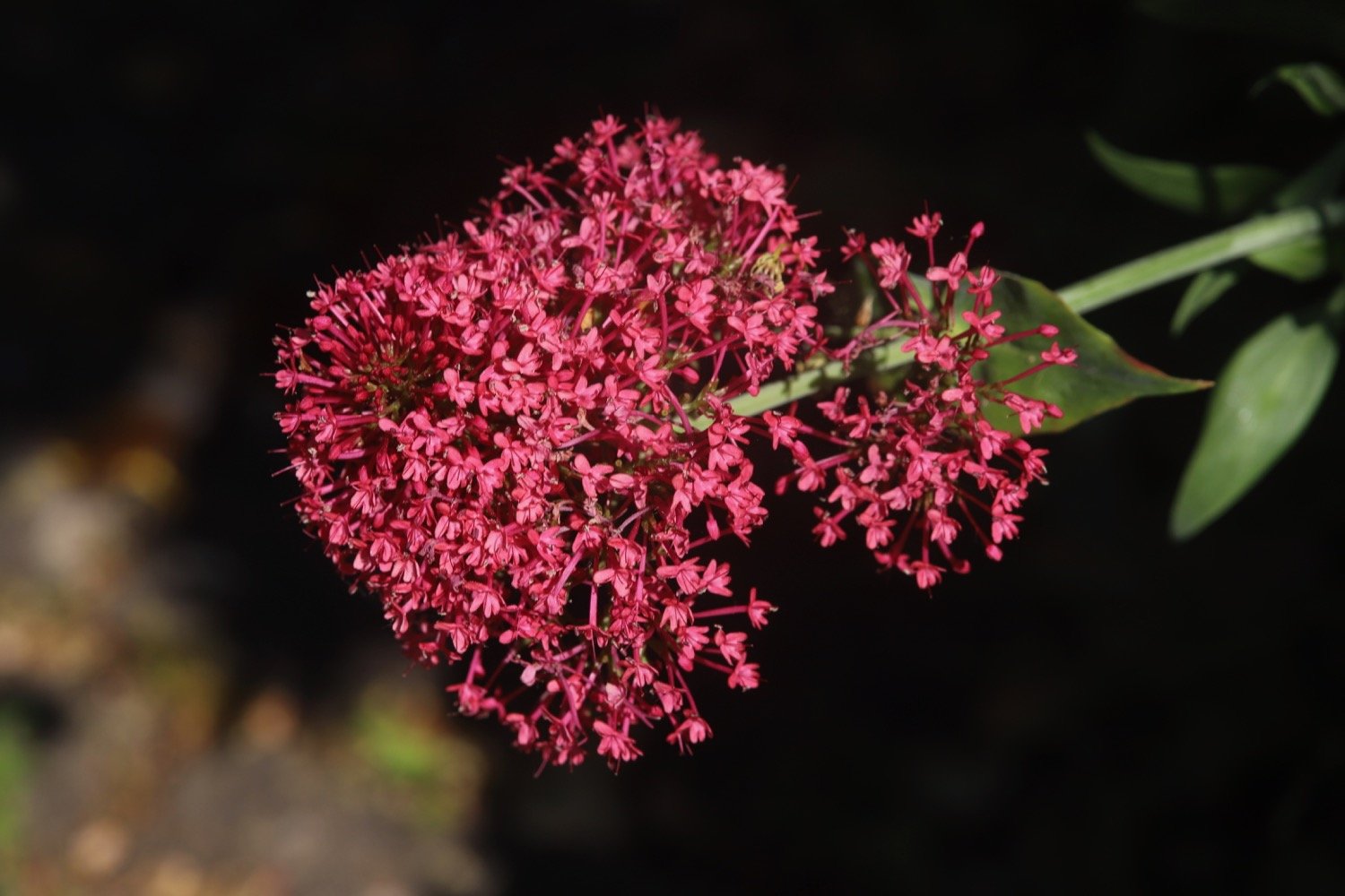
red valerian
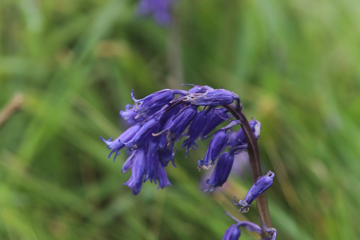
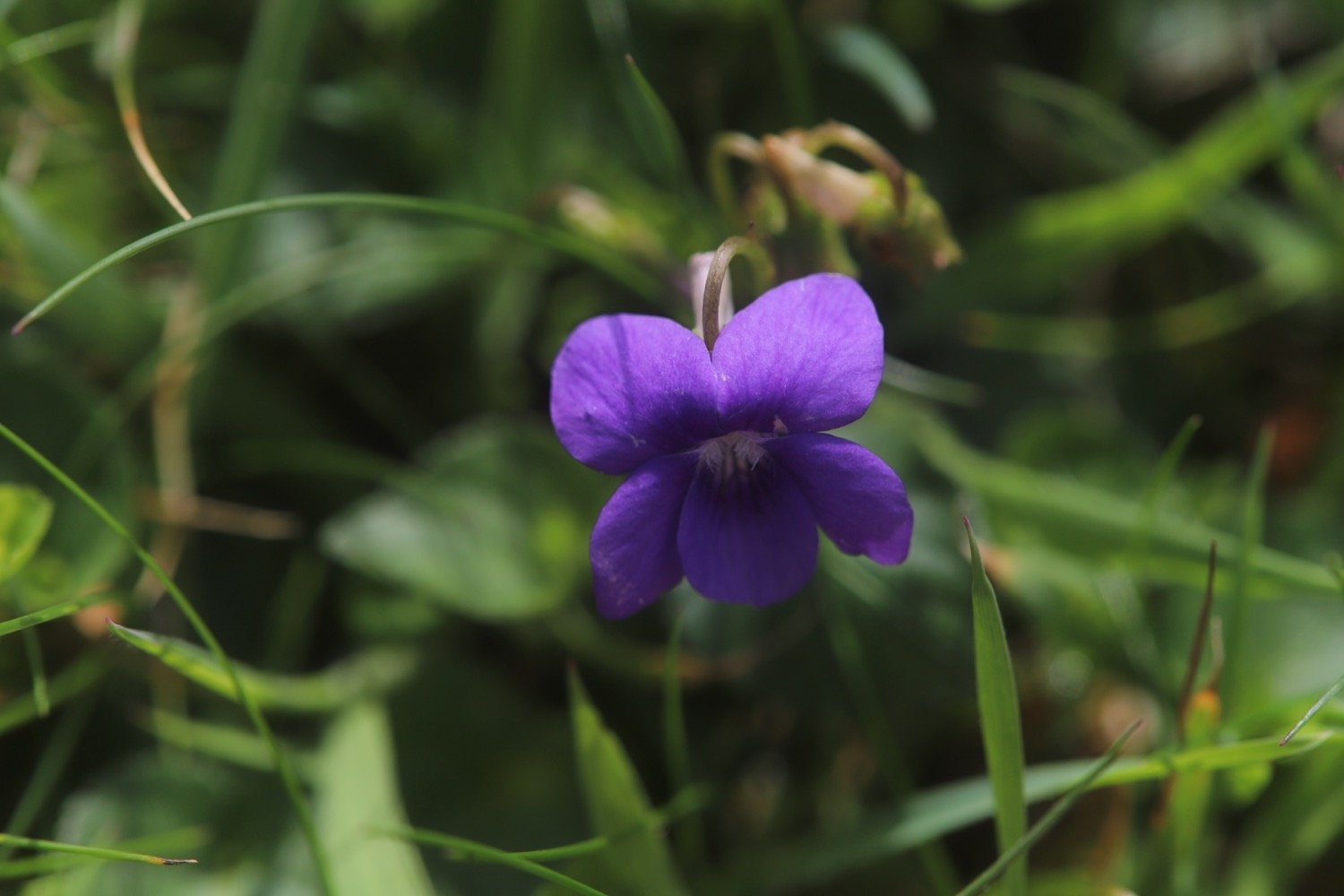
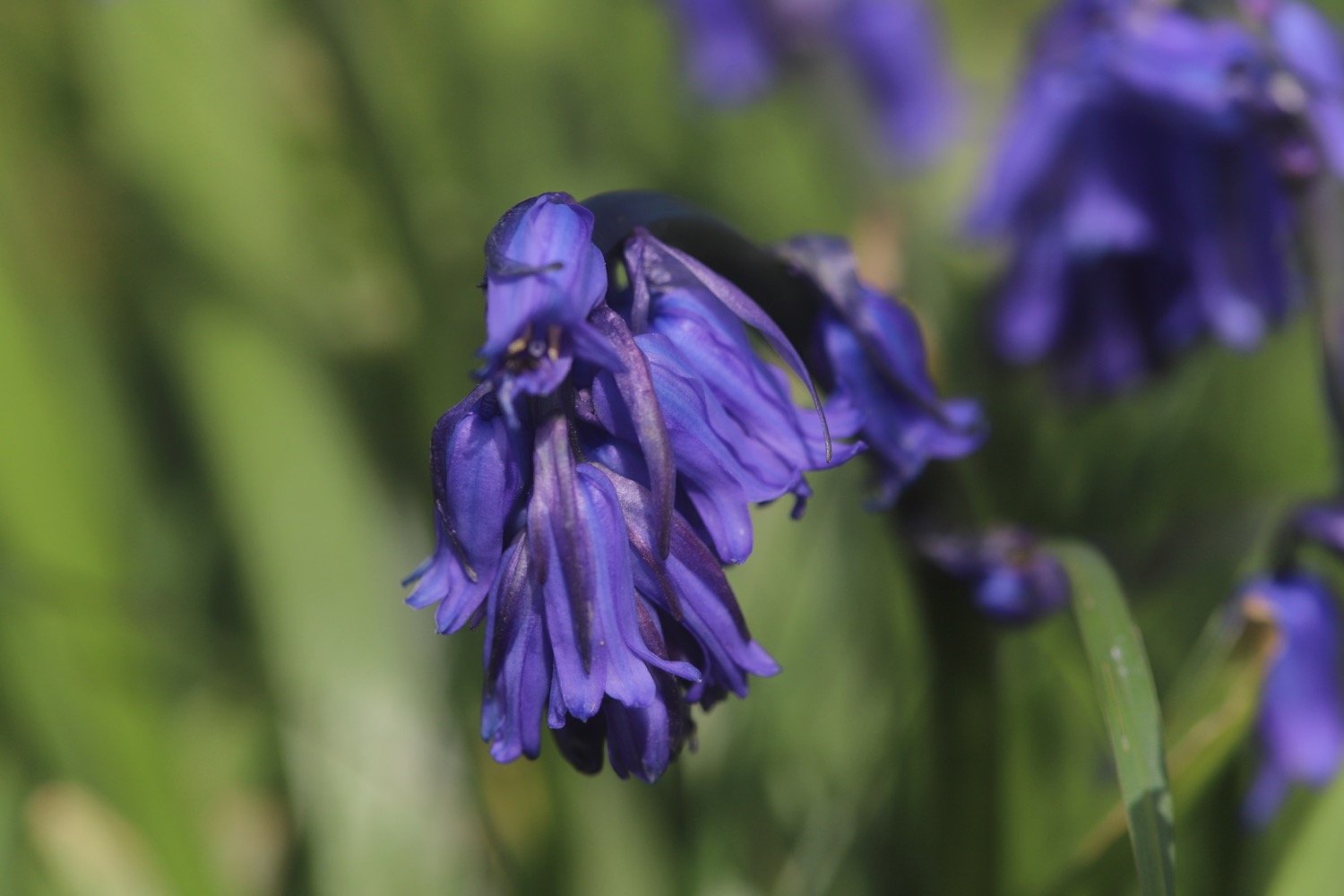
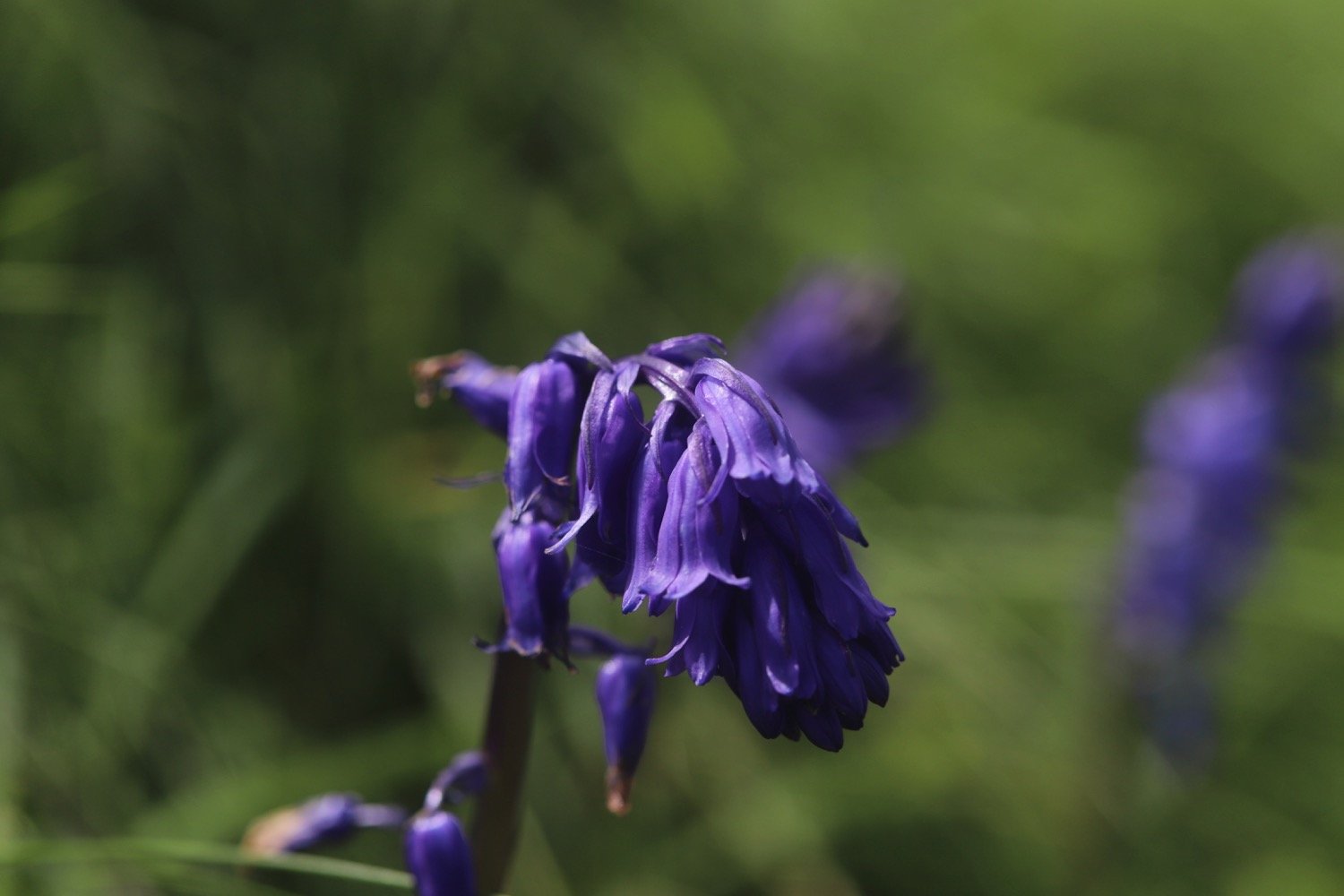
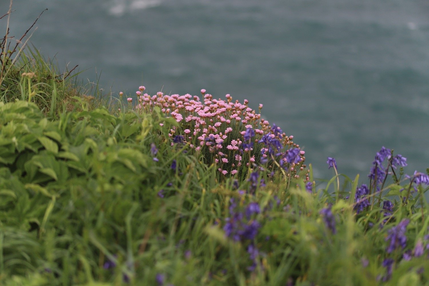
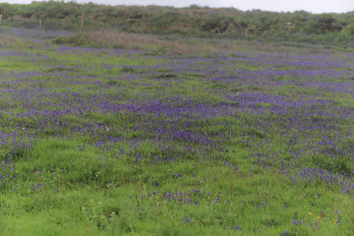
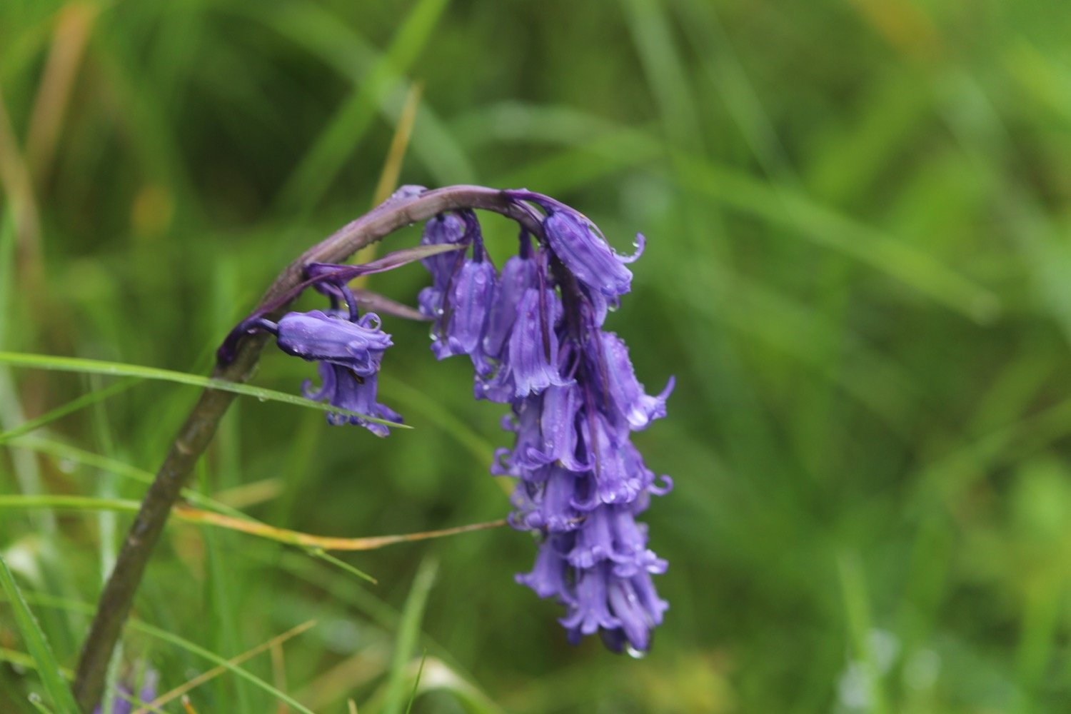
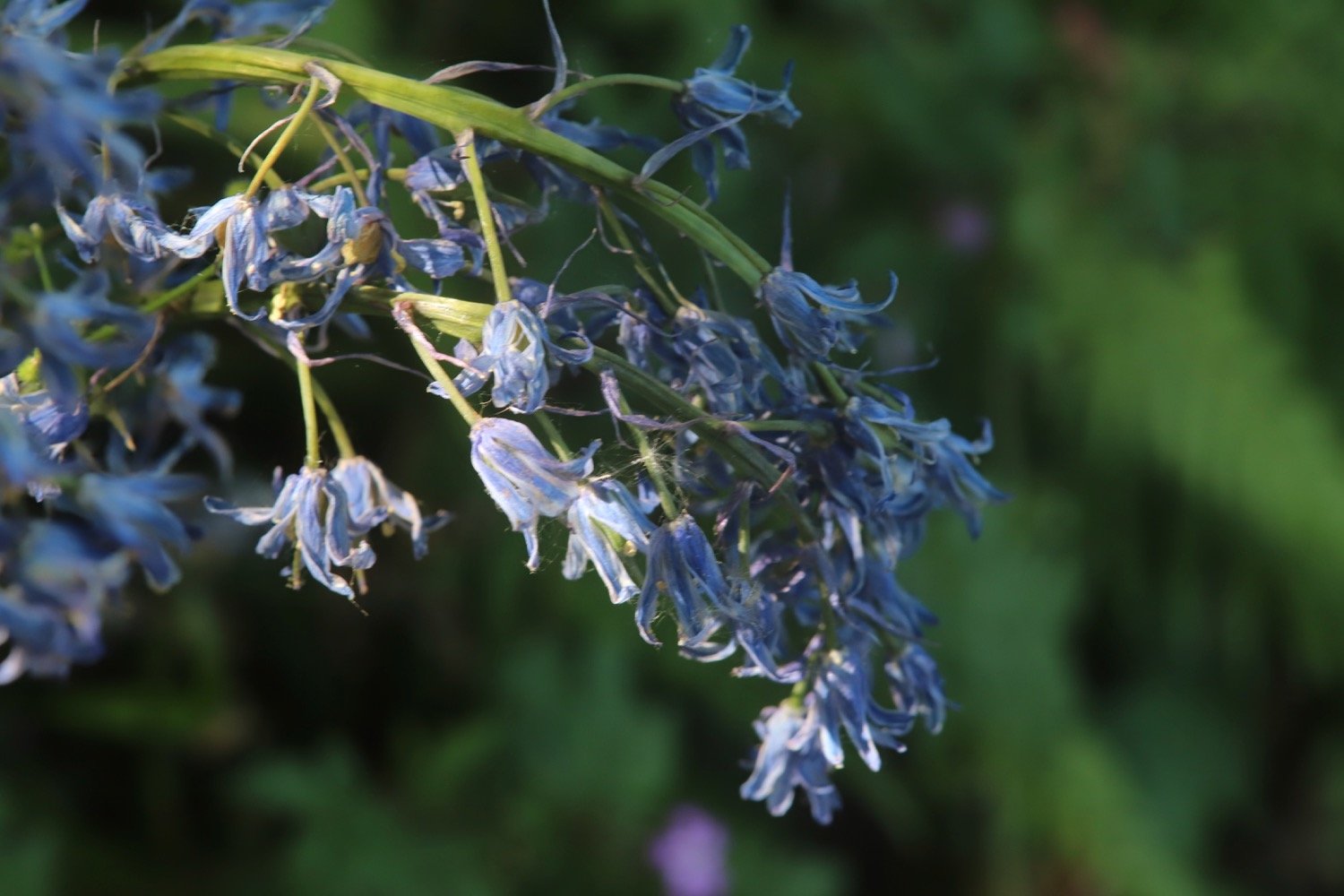
bluebells
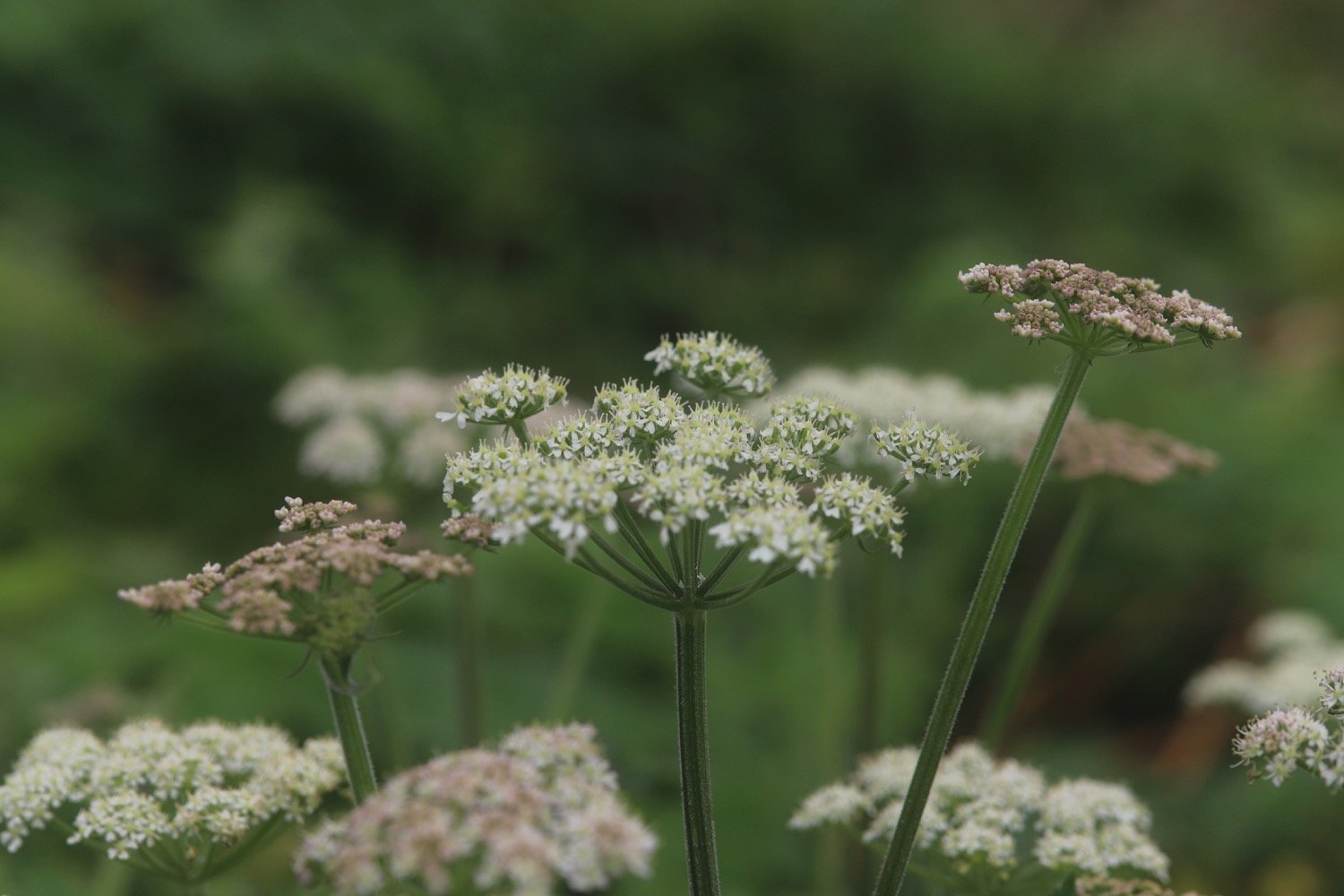
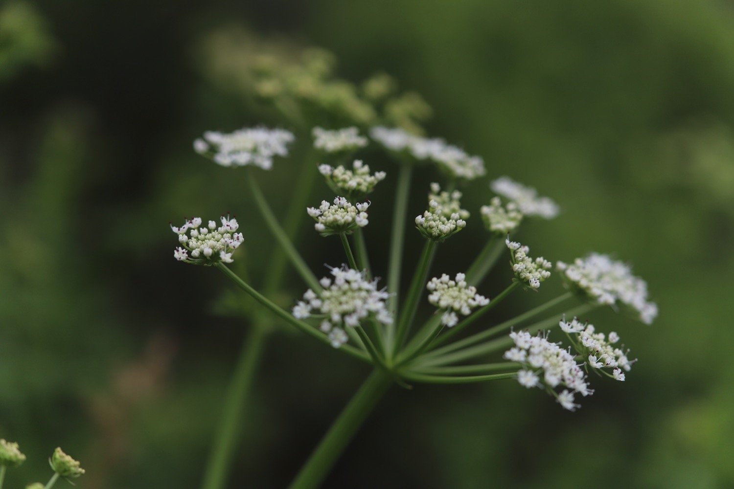
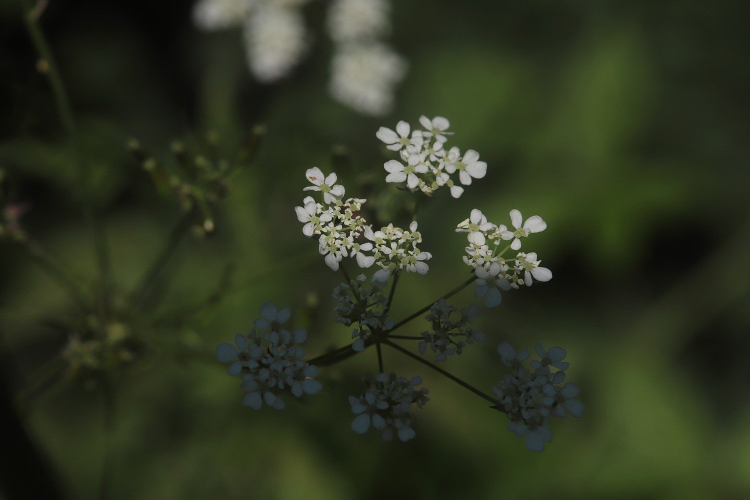
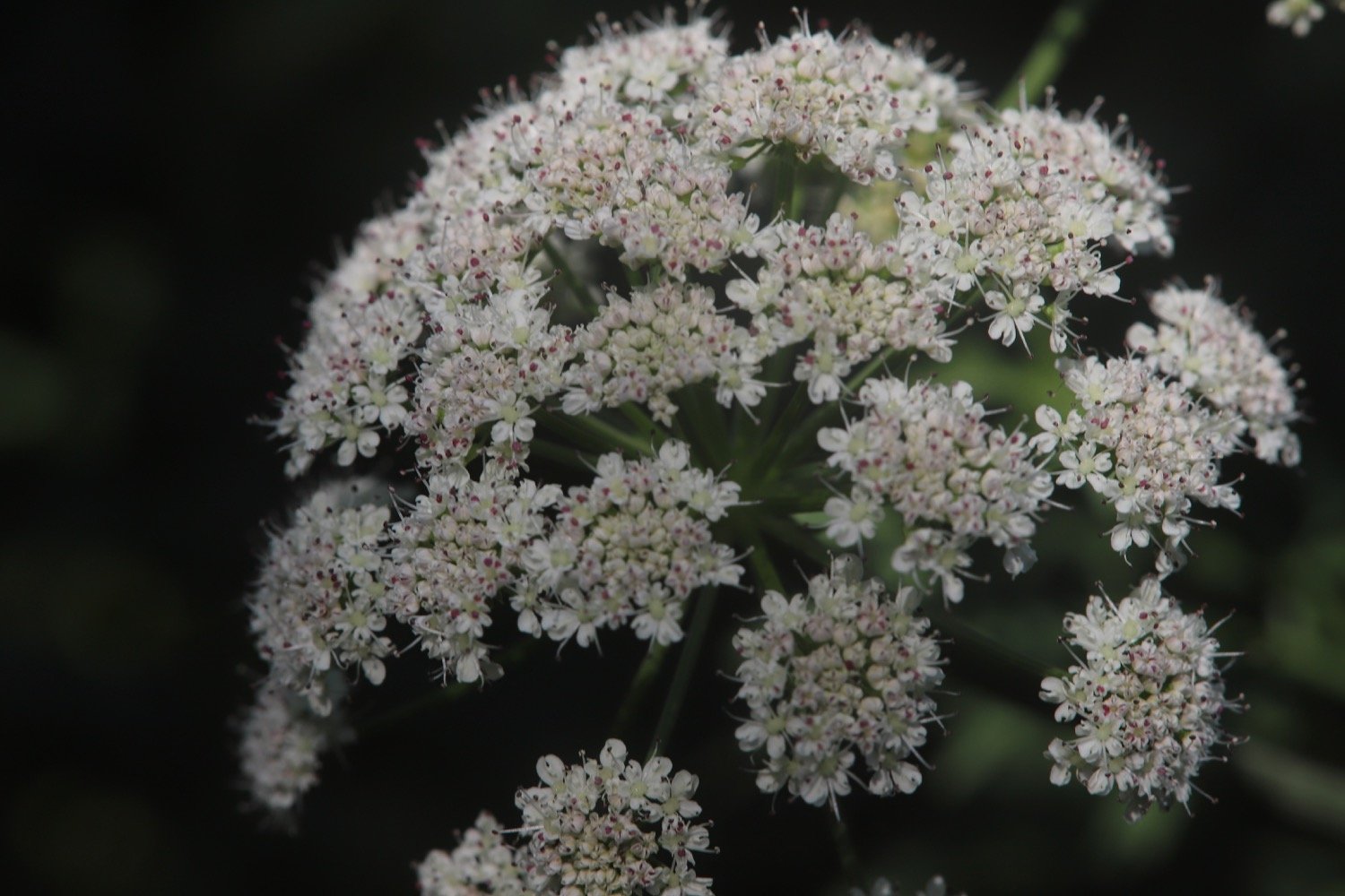
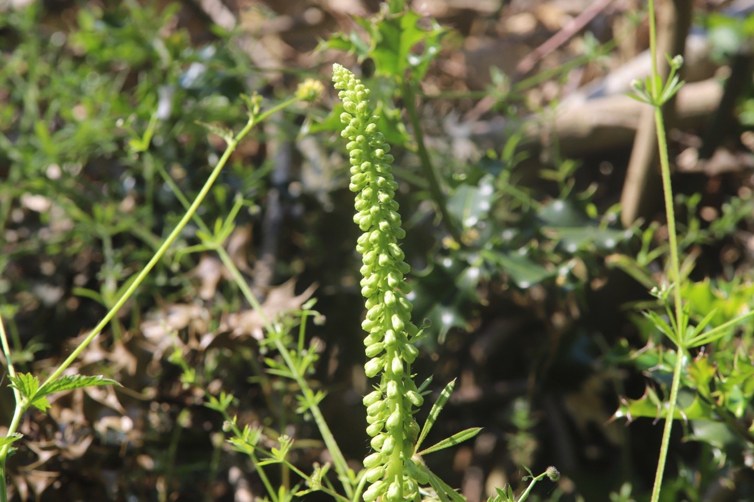
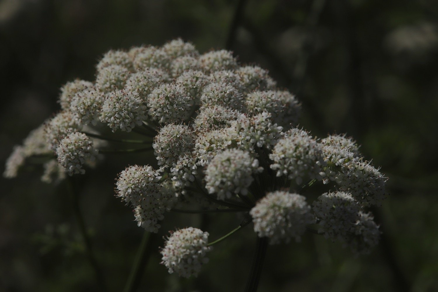
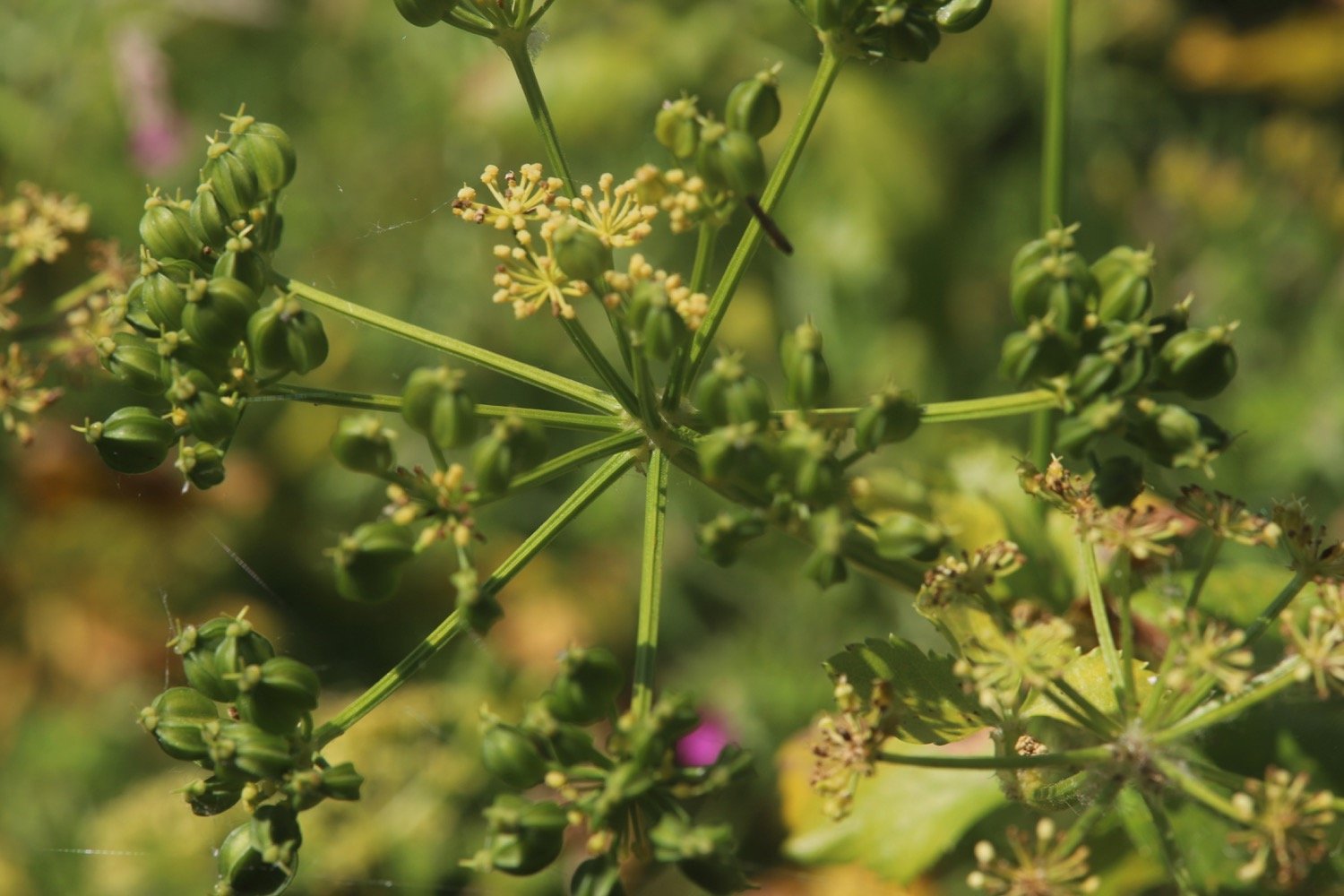
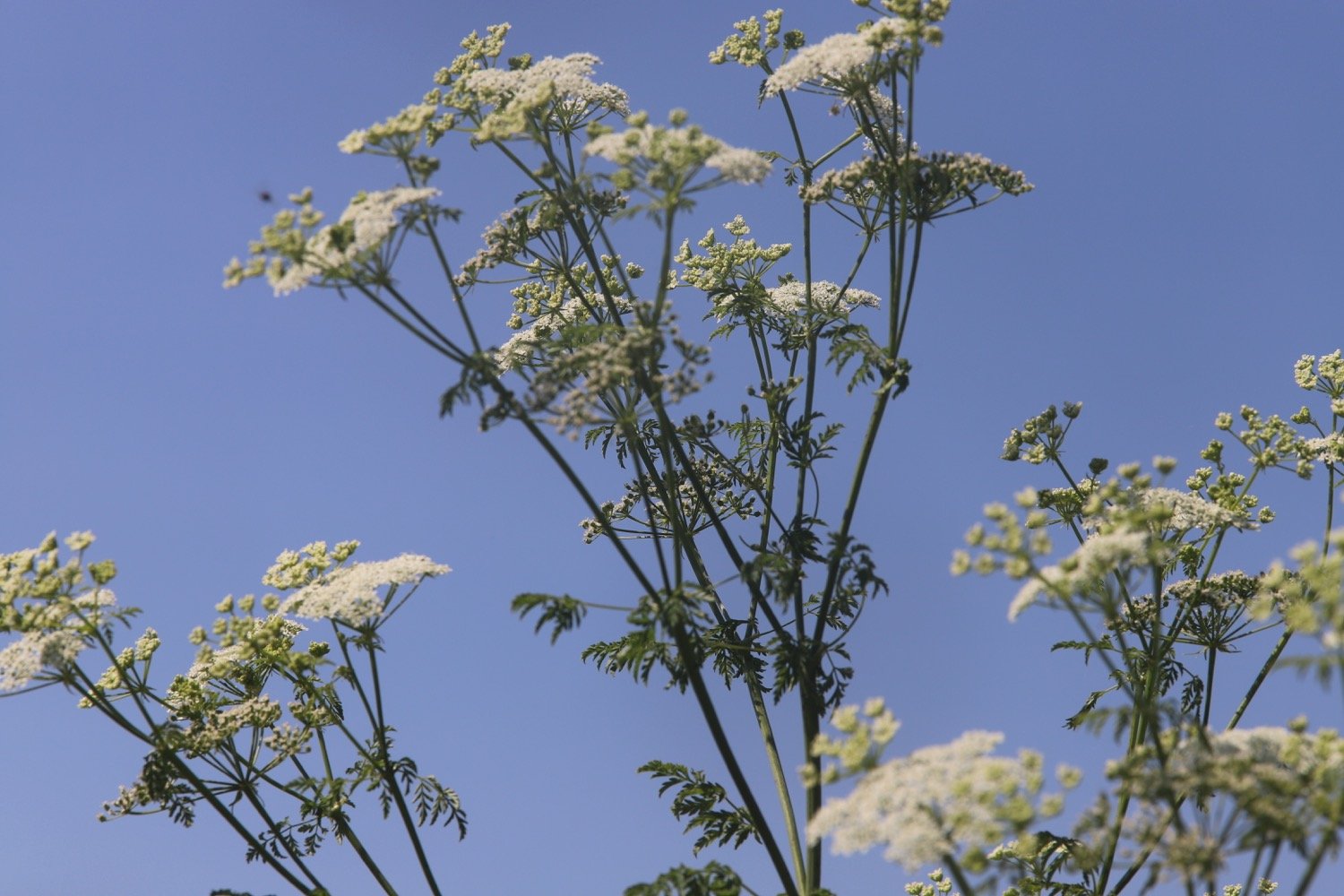
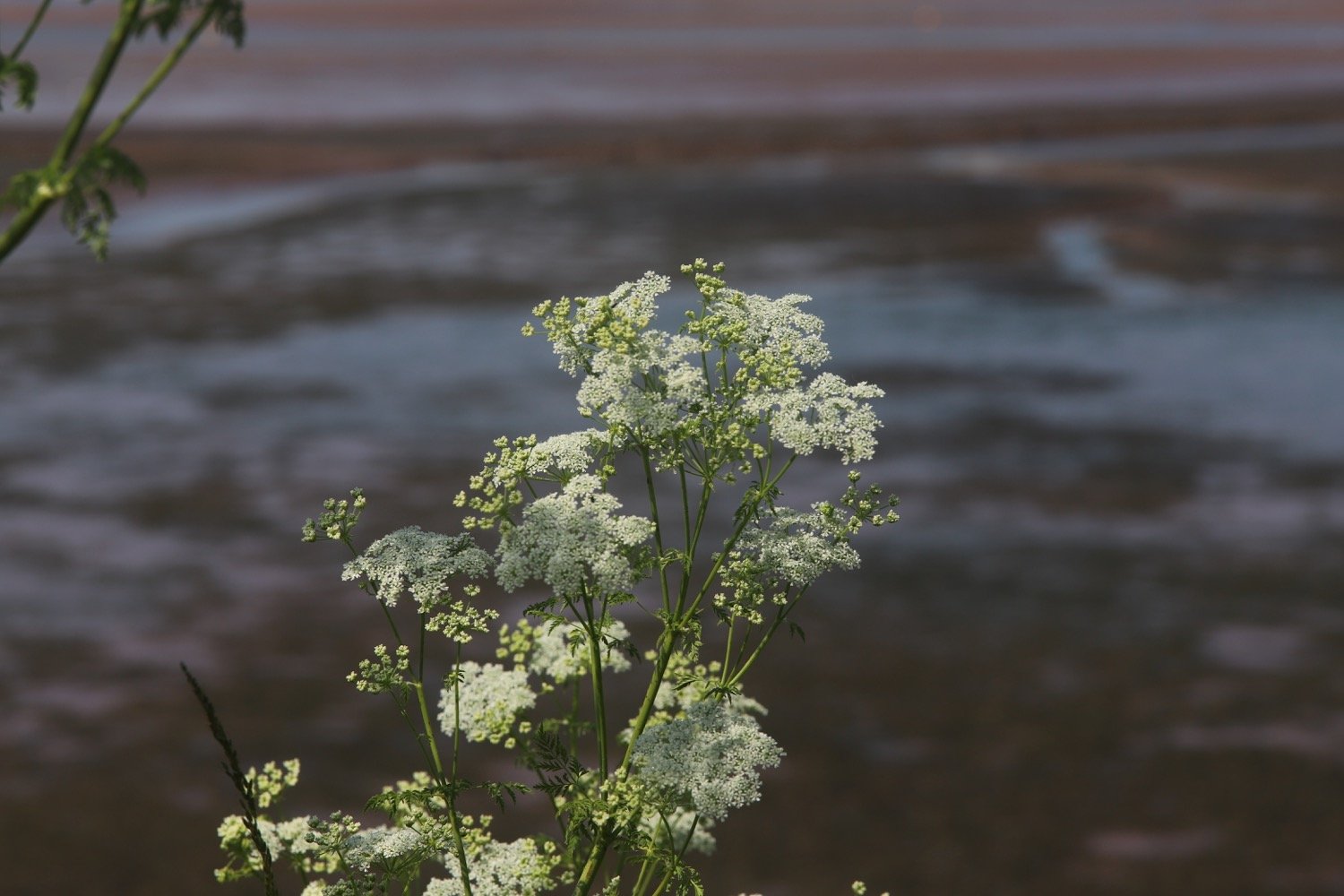
hogweed
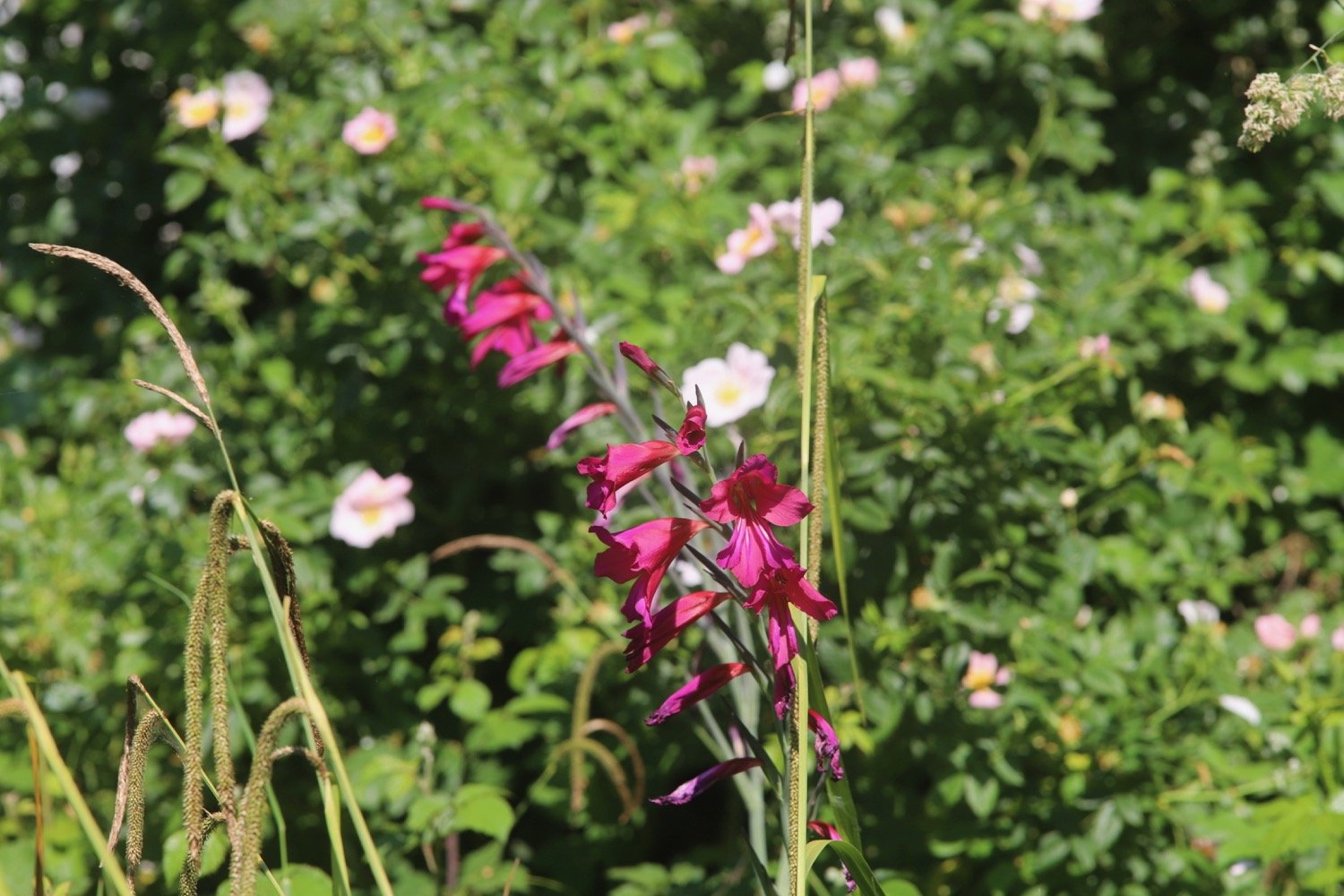
gladioli
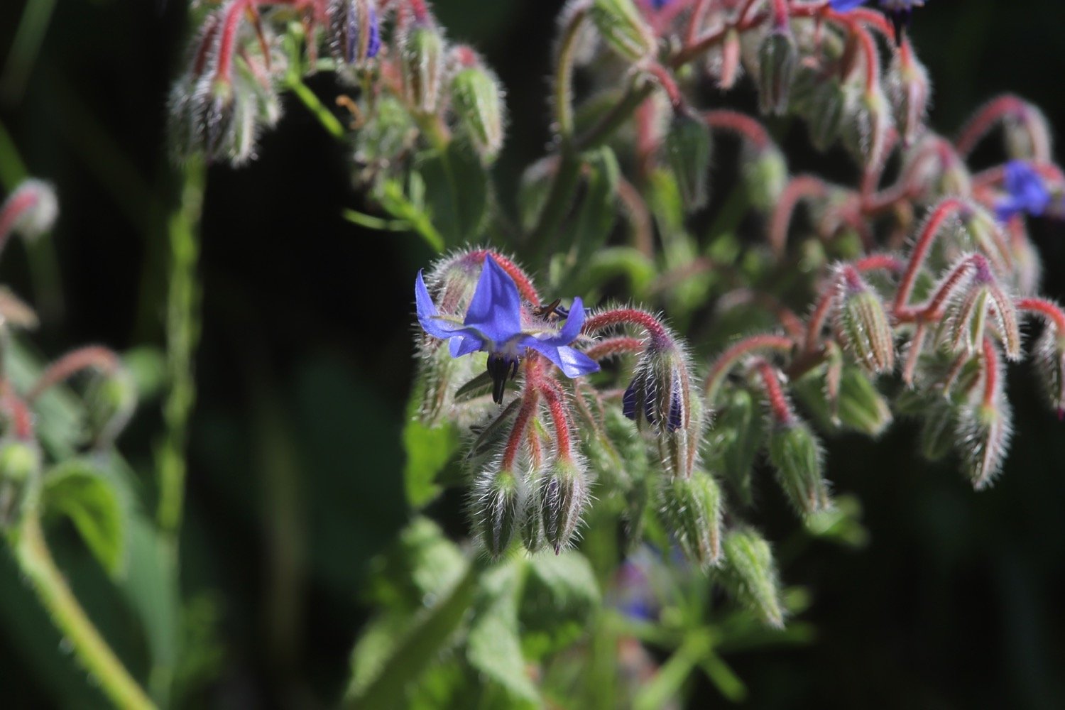
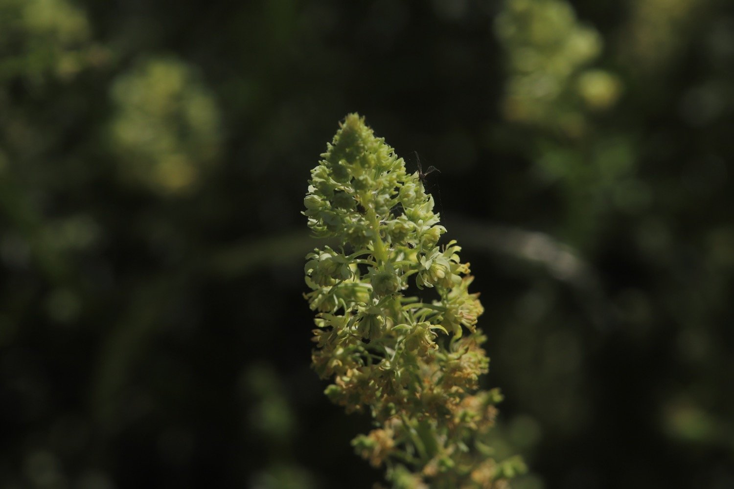
borage
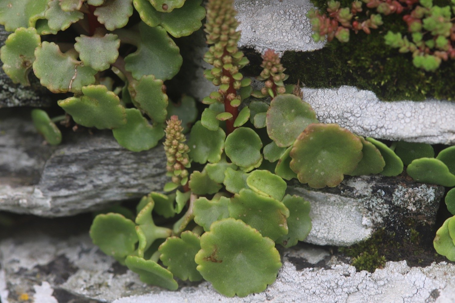
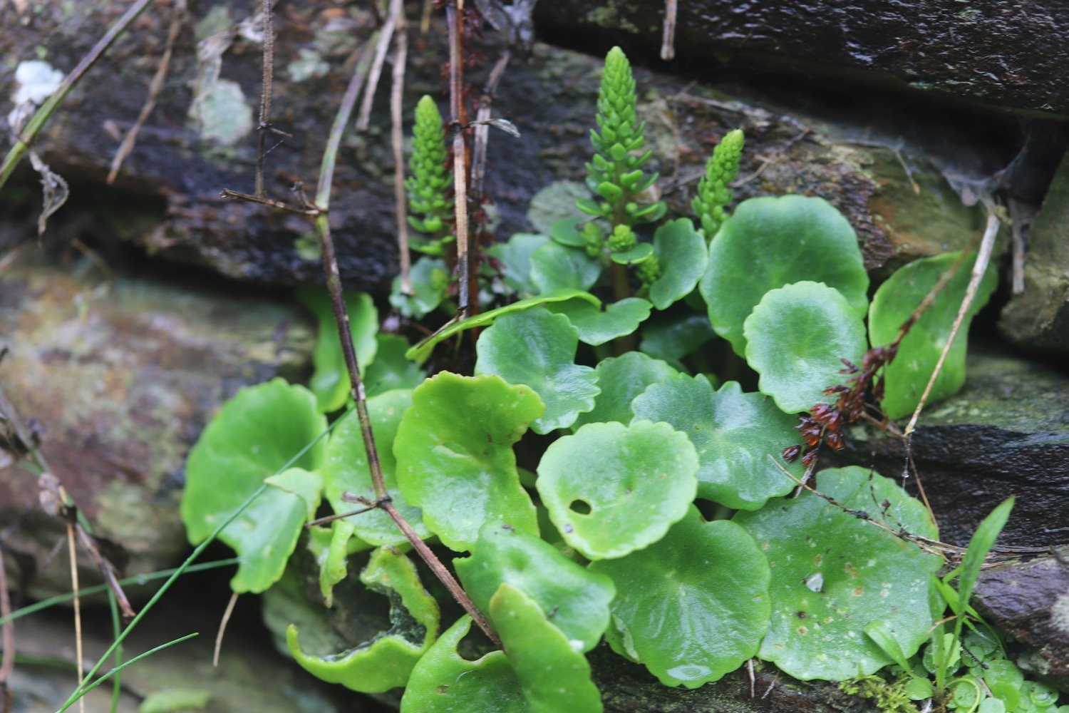
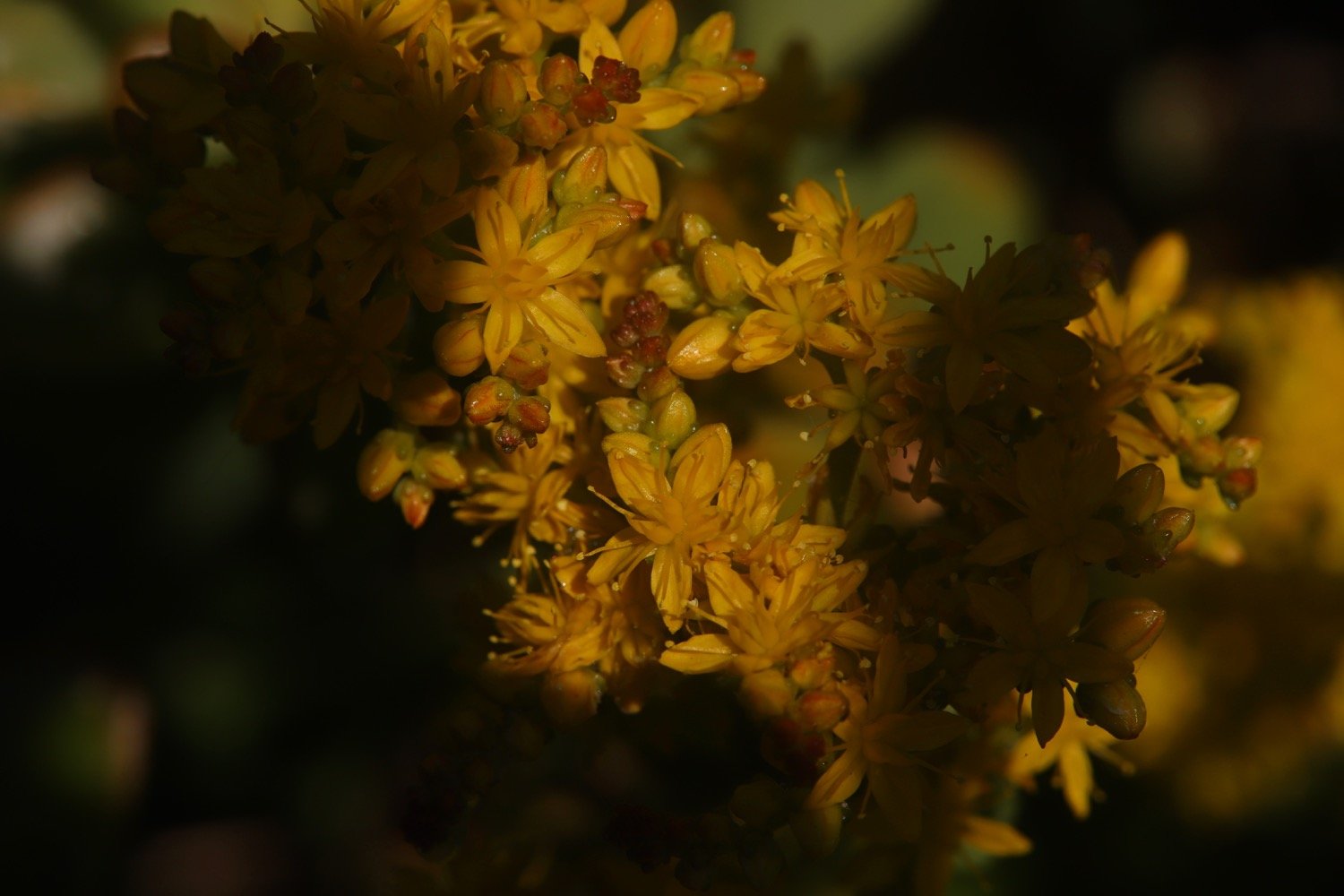
navelwort
cuckooflower
wrens
robins
chaffinch
chiffchaff
guinea fowl
swallows
sparrows
whitethroat
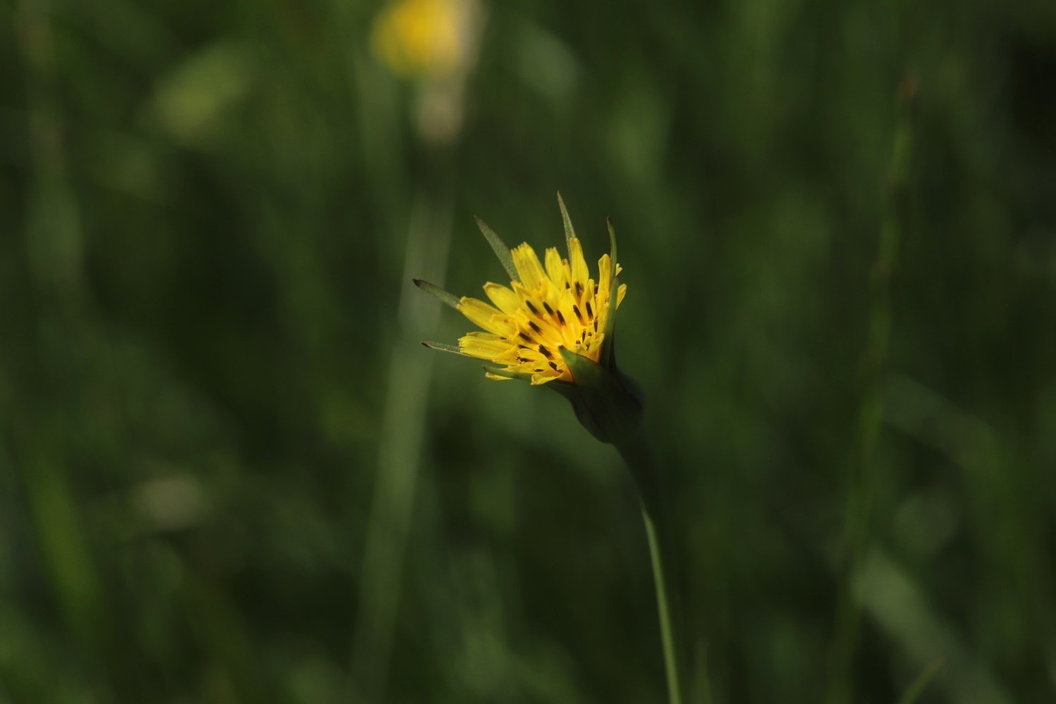
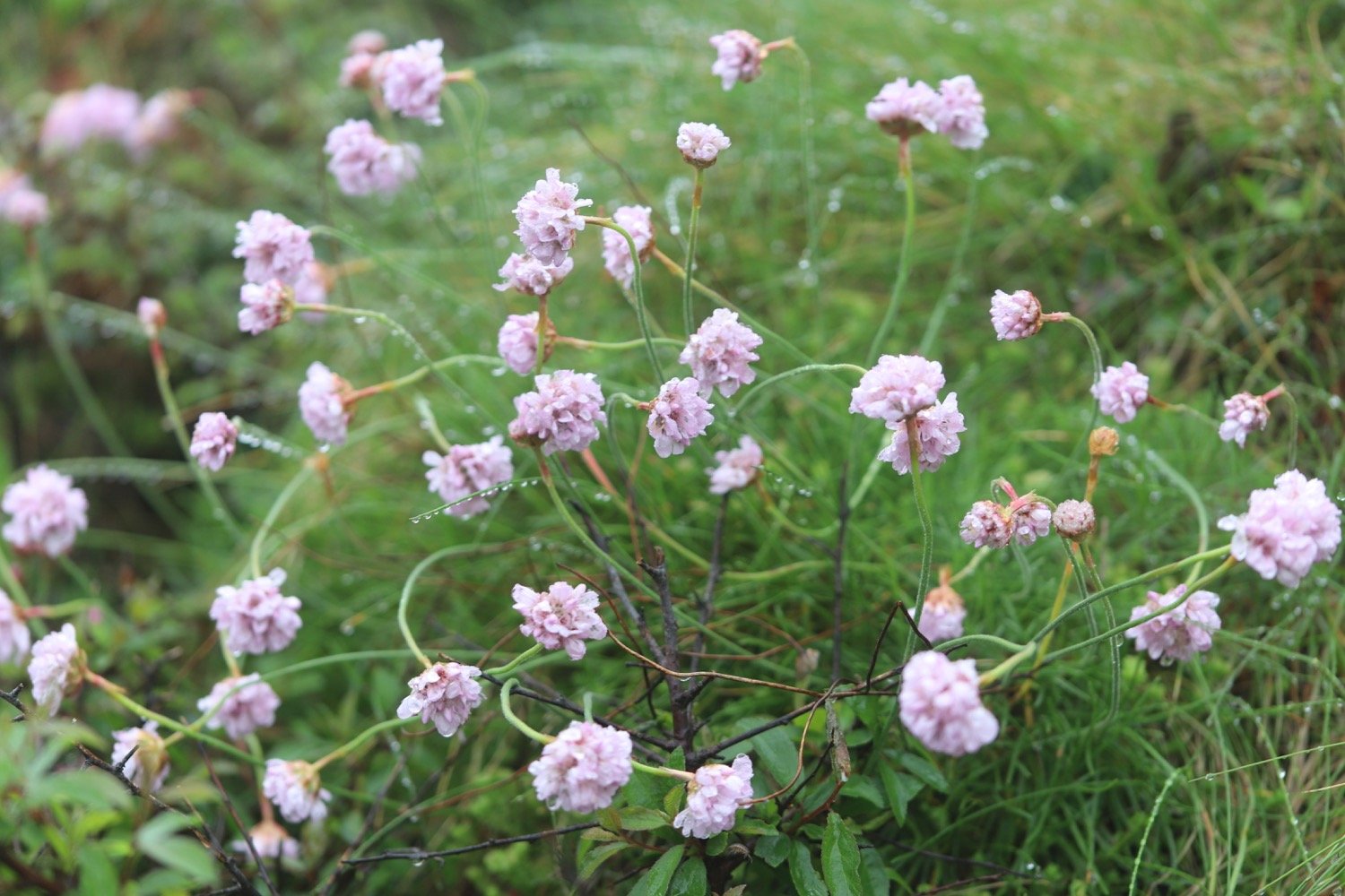
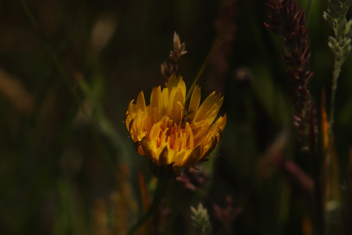
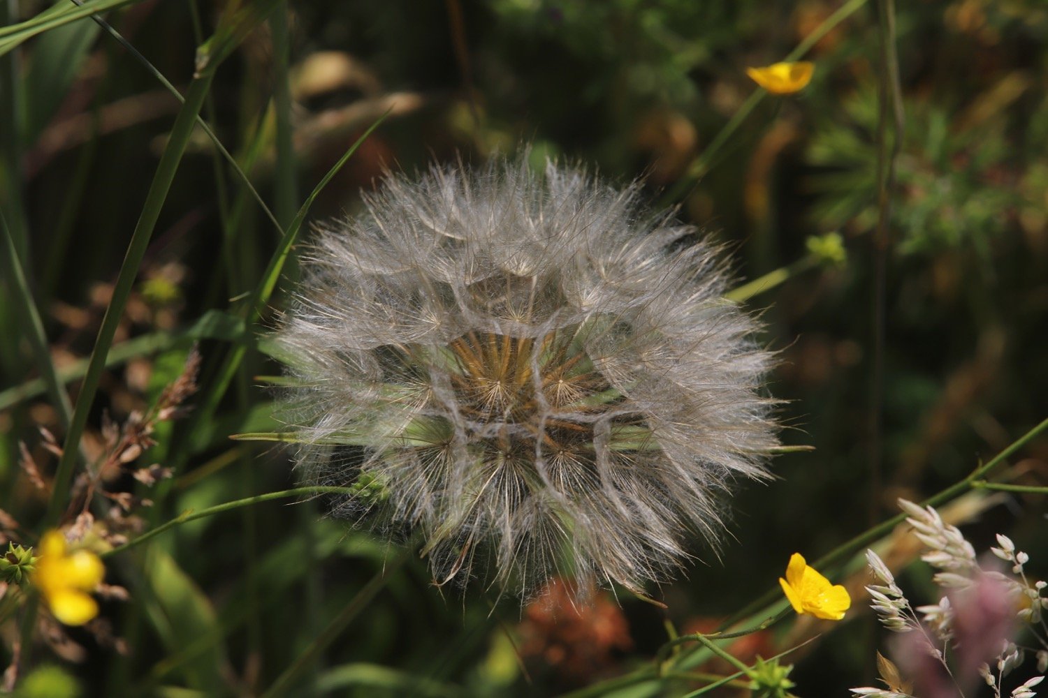
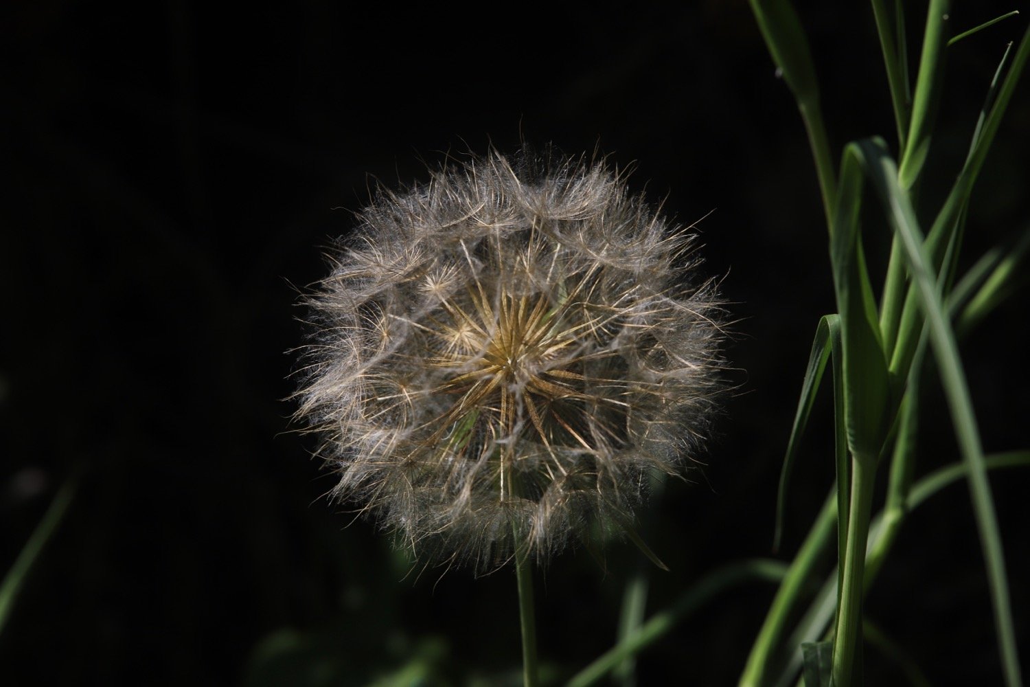
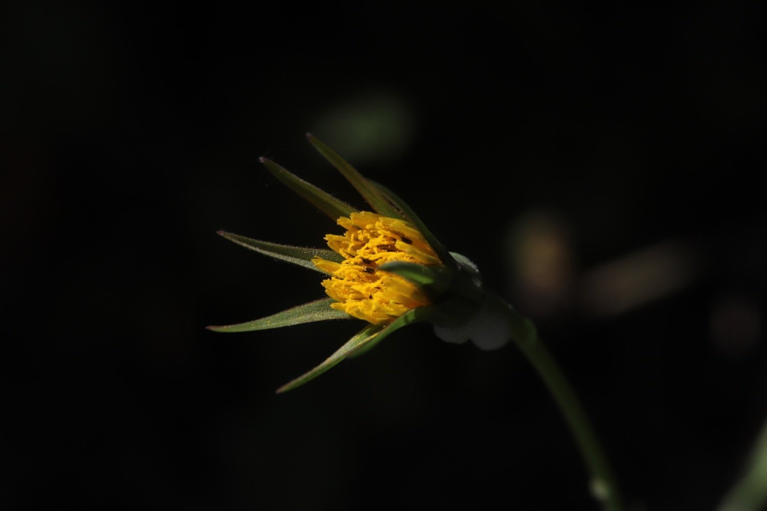
goat’s-beard
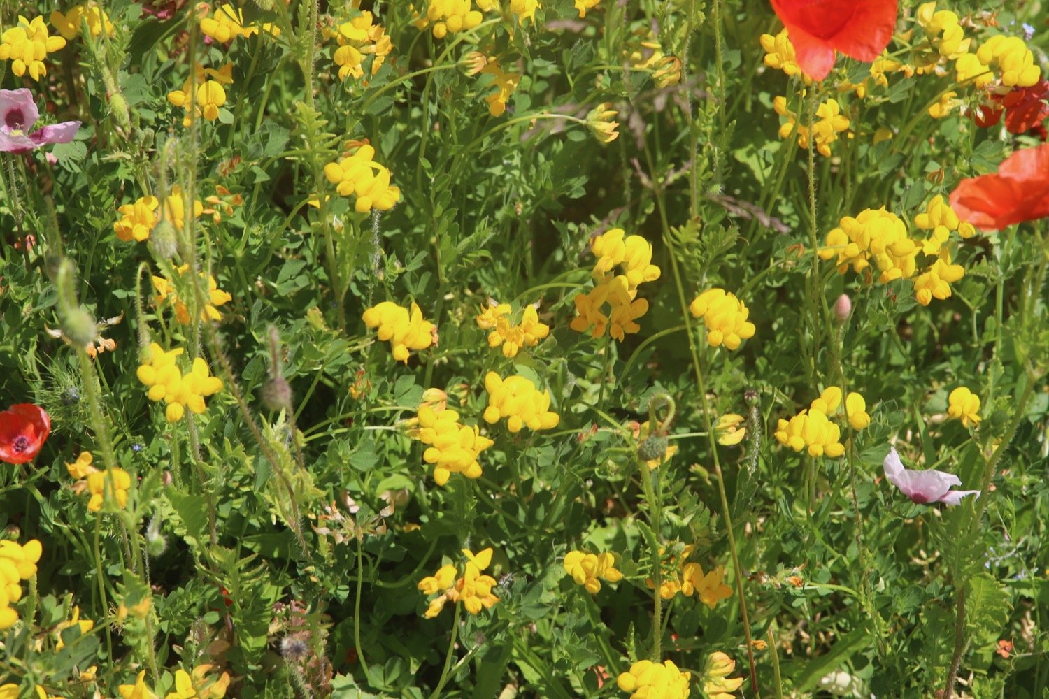
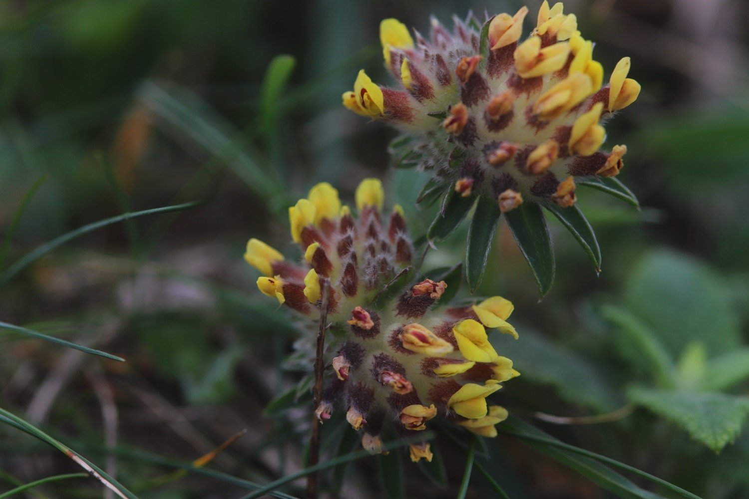
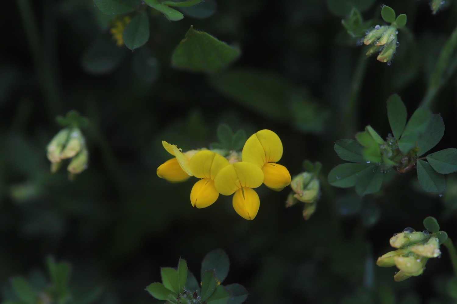
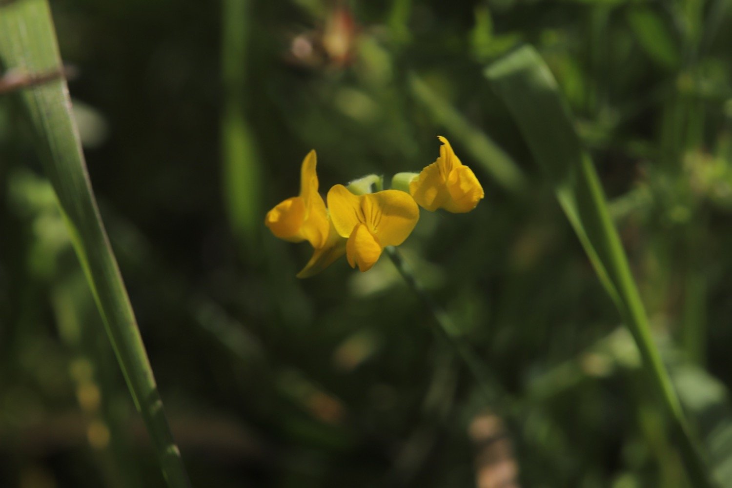
common bird’s-foot trefoil
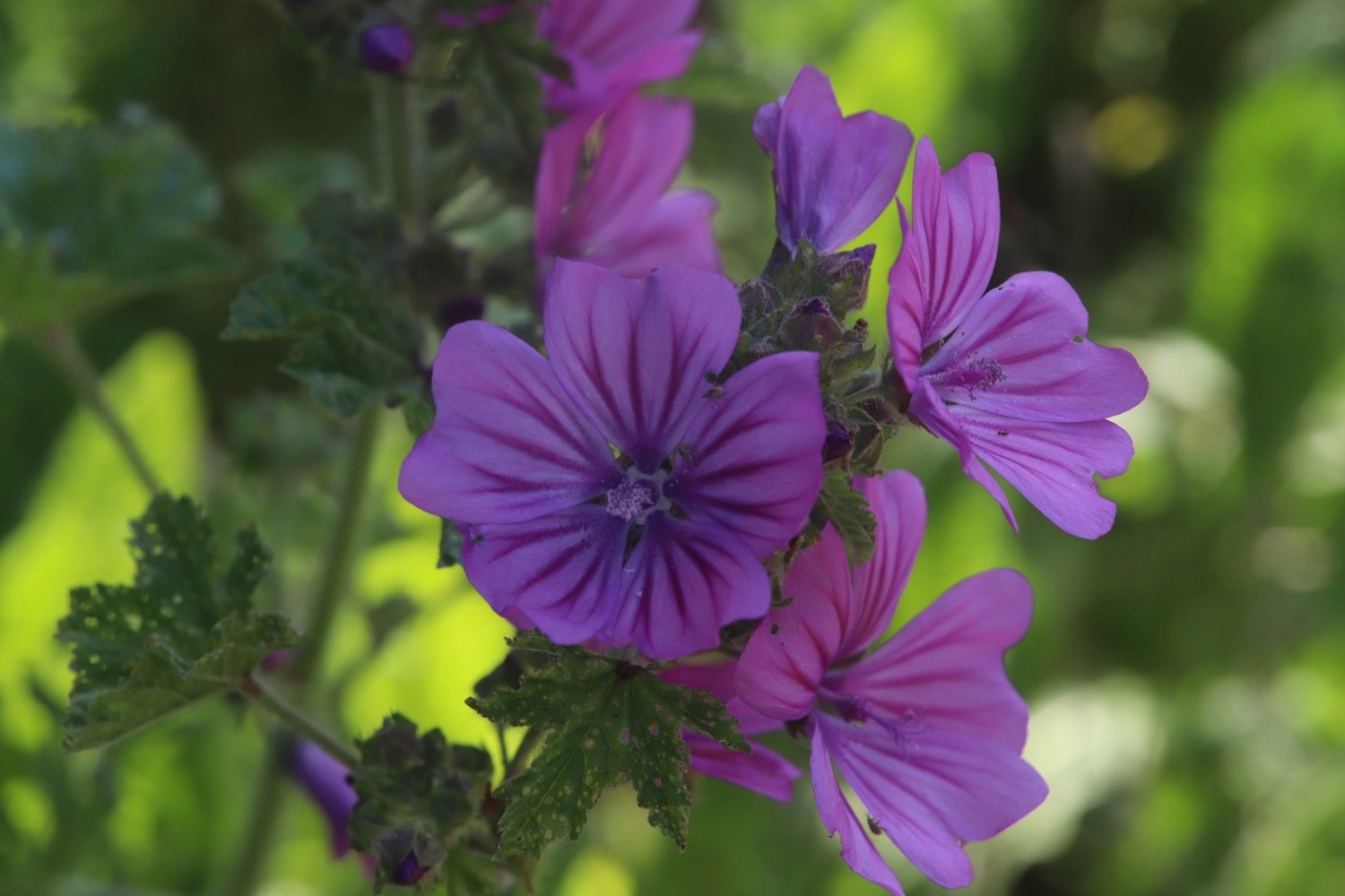
common mallow
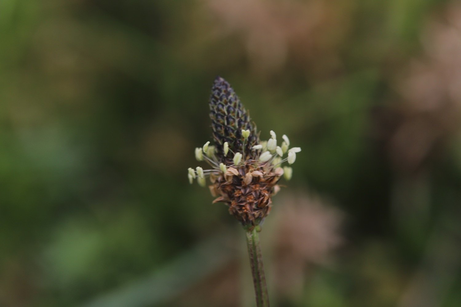
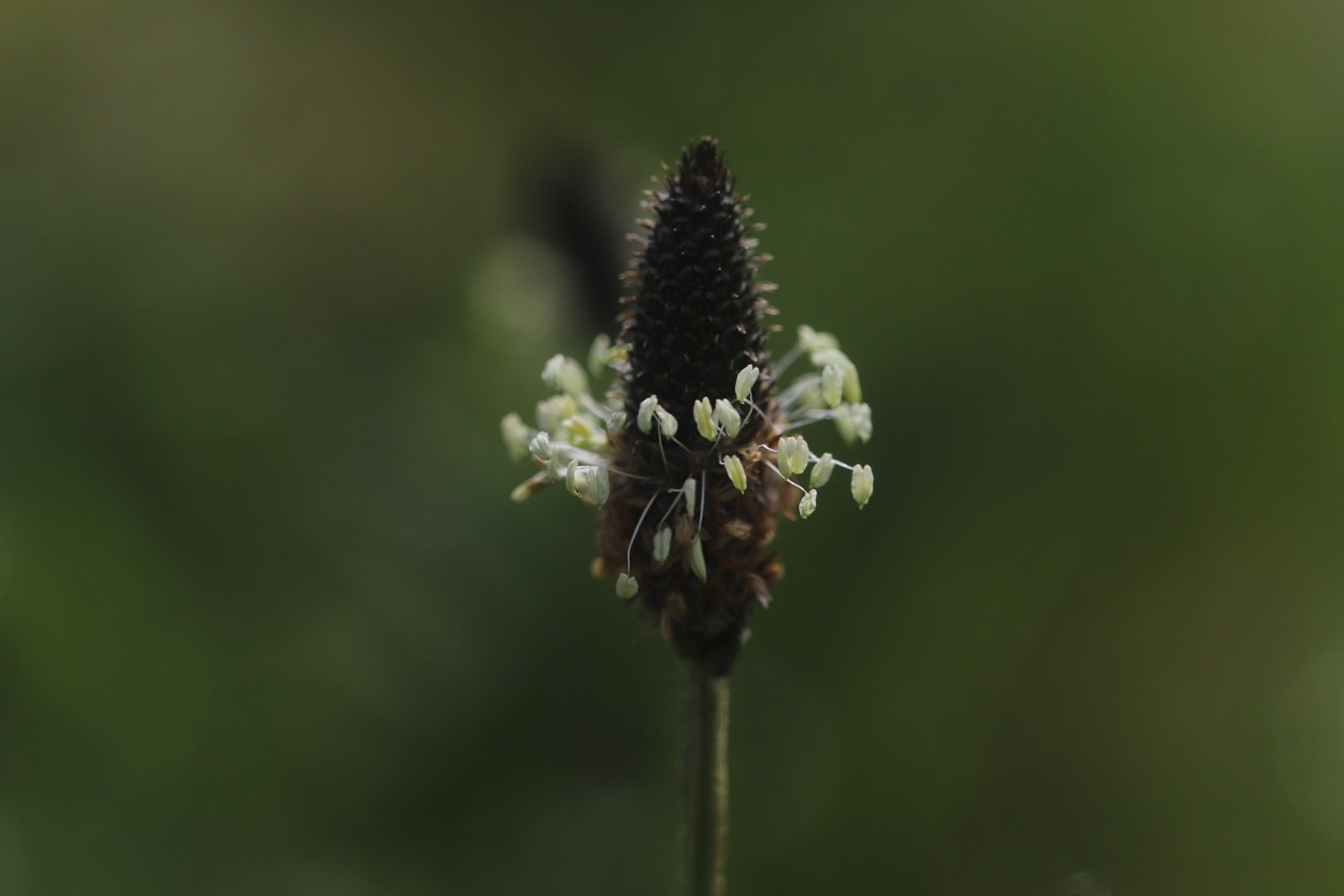
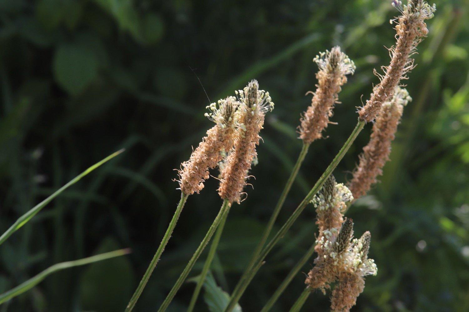
ribwort plantain
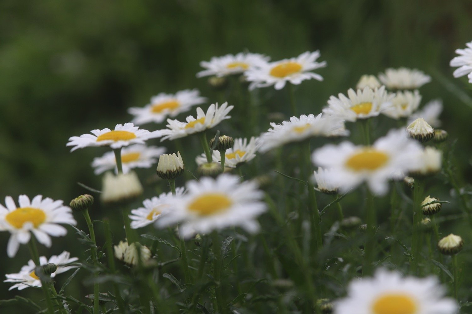
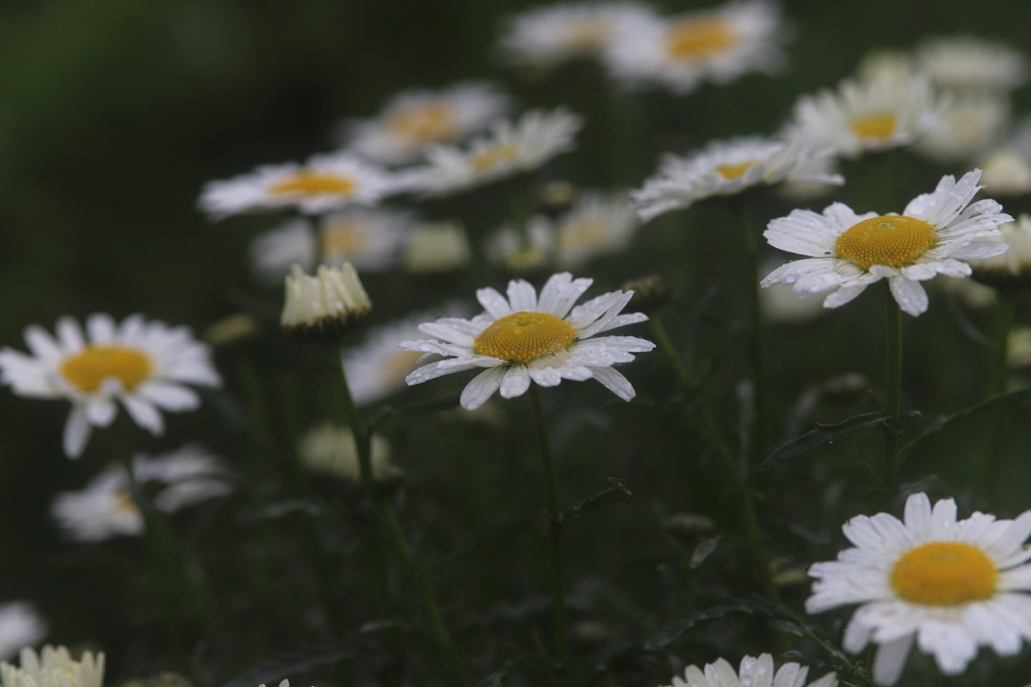
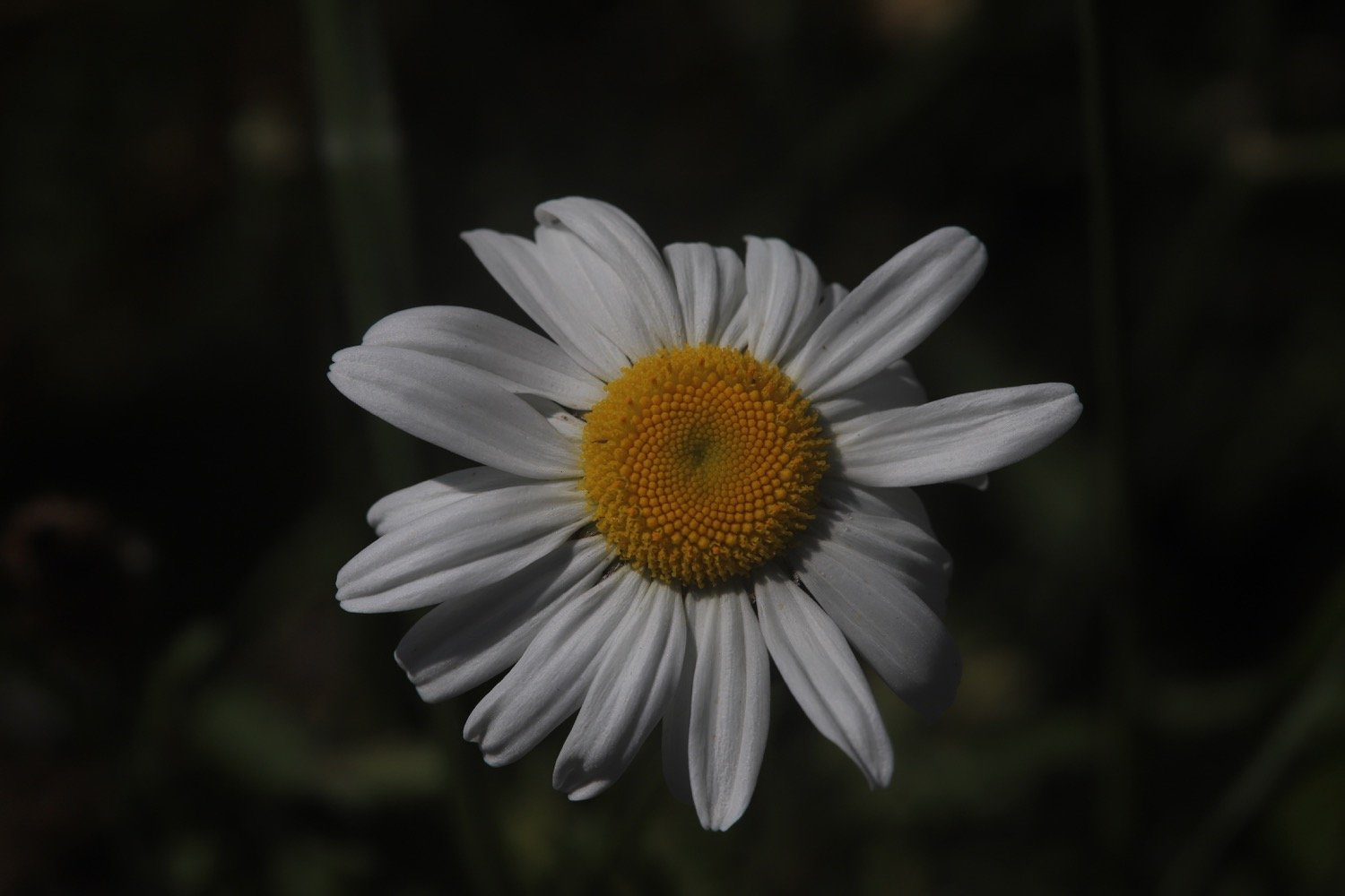
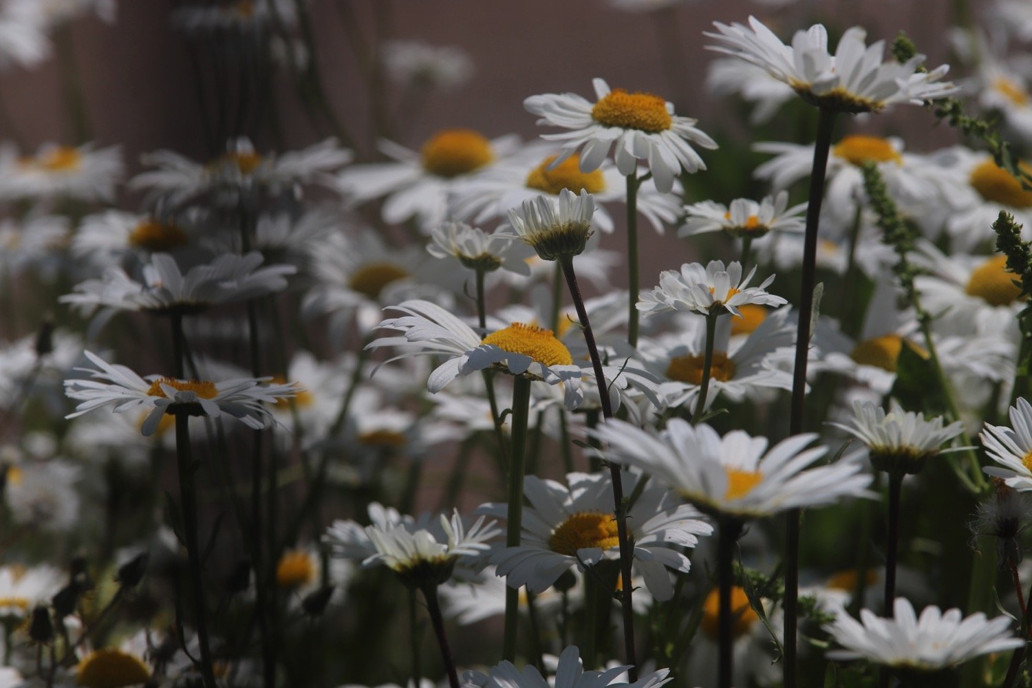
ox-eye daisies
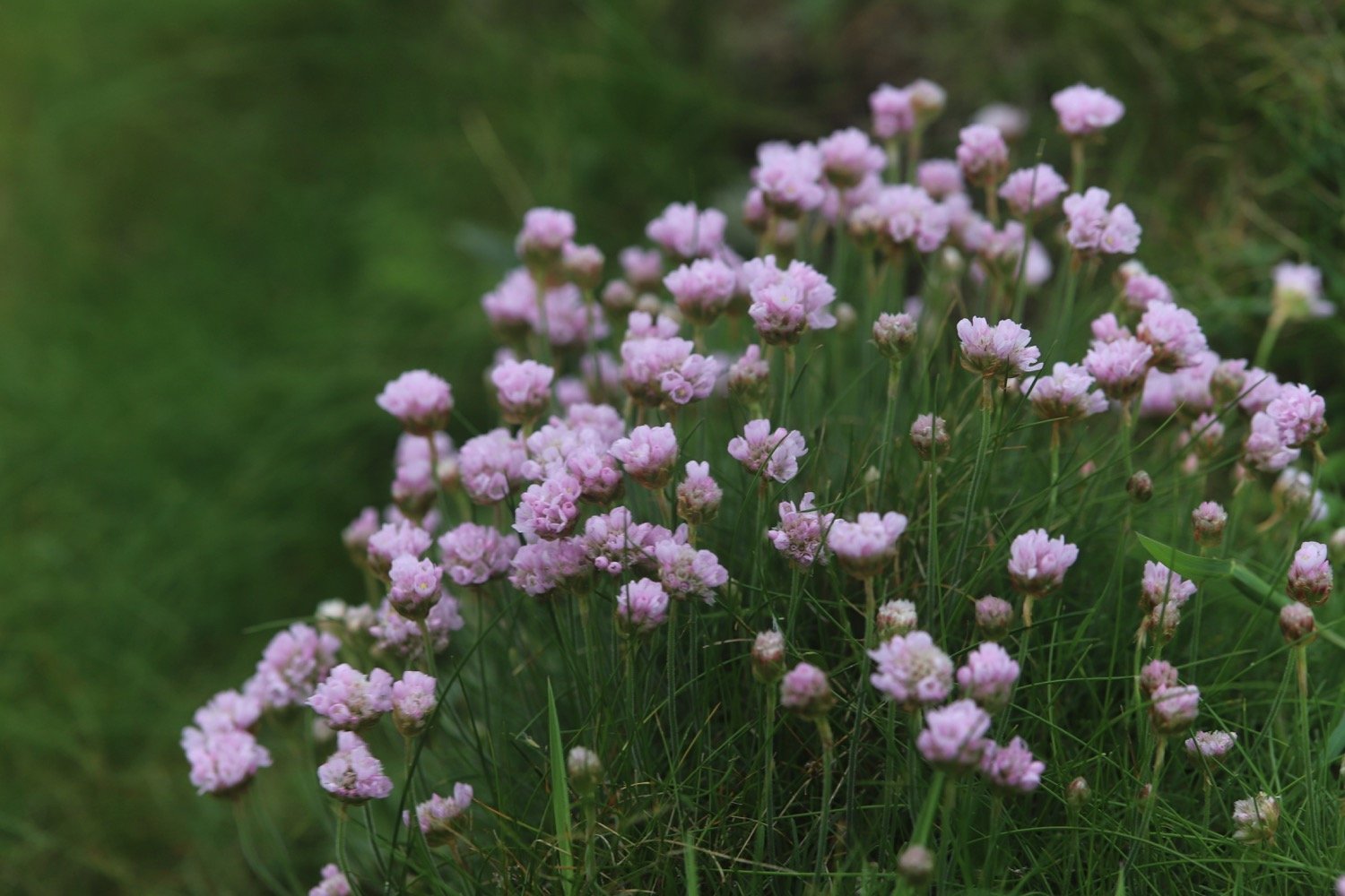
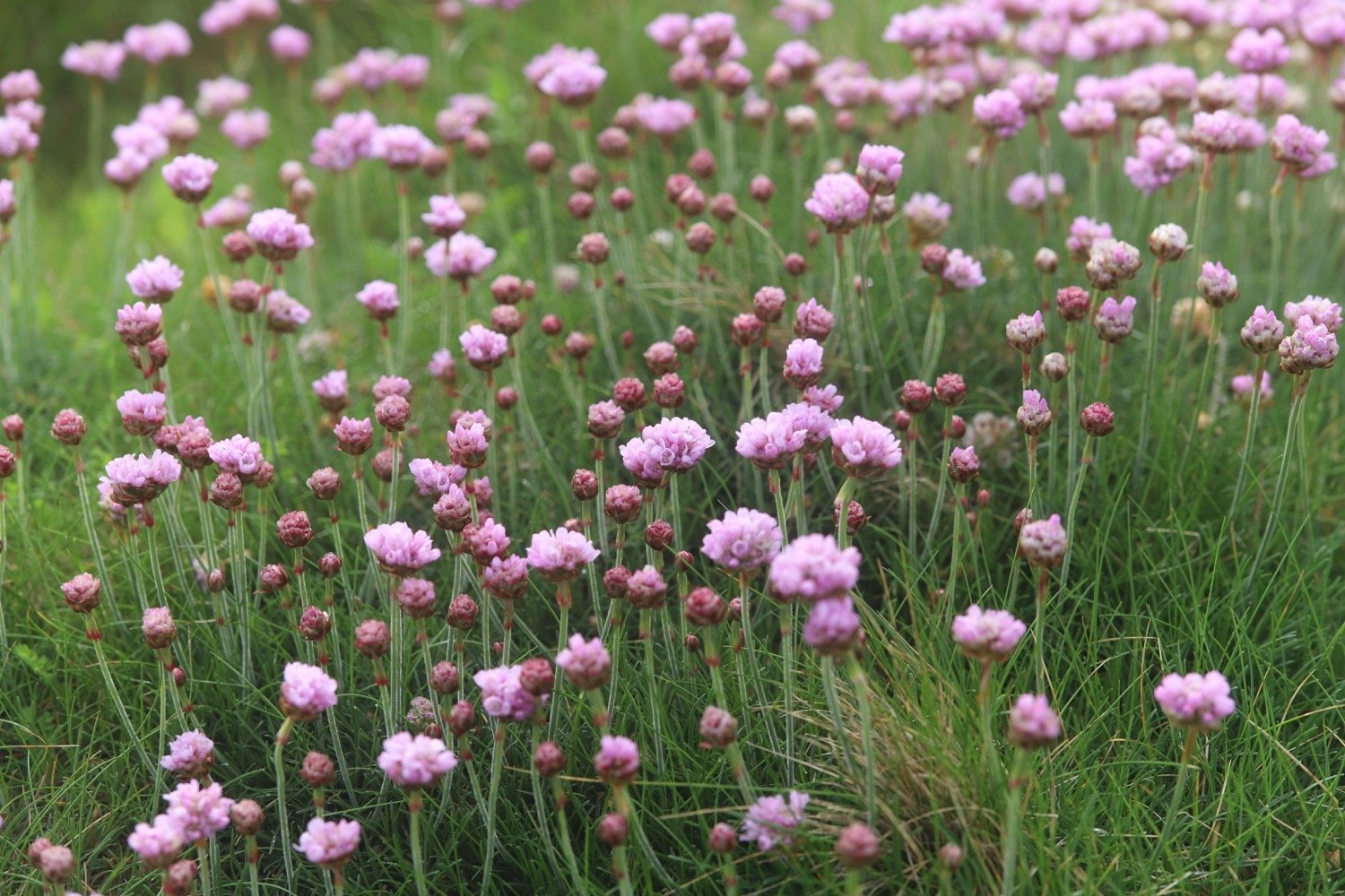
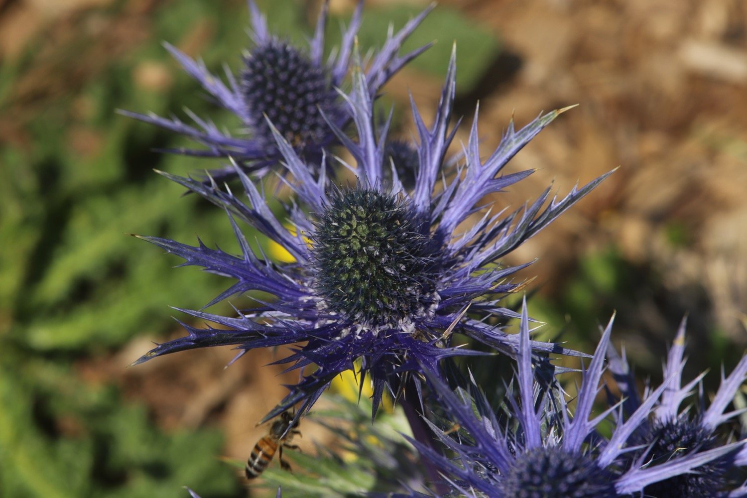
sea holly

PODCAST
The podcast of today's walk is now available. You can subscribe via Apple Podcasts or listen using the player below.

MARKS OUT OF TEN?
According to my phone I've walked 7.7 miles which amounts to 18051 steps. It has taken me three hours. The weather has been magnificent again and the walking has been lovely. Ten out of ten!
walk details
map
exe estuary trail
mural
exe estuary
east devon way
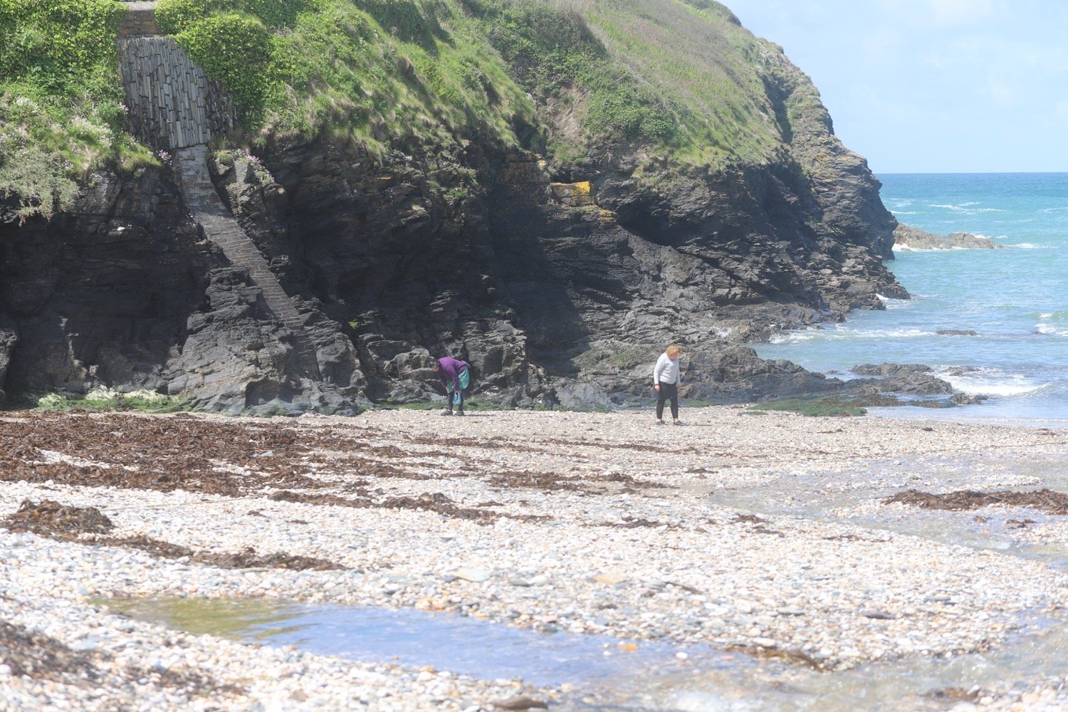
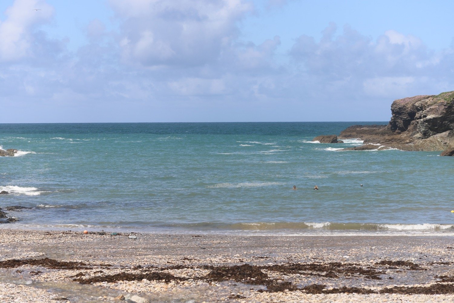
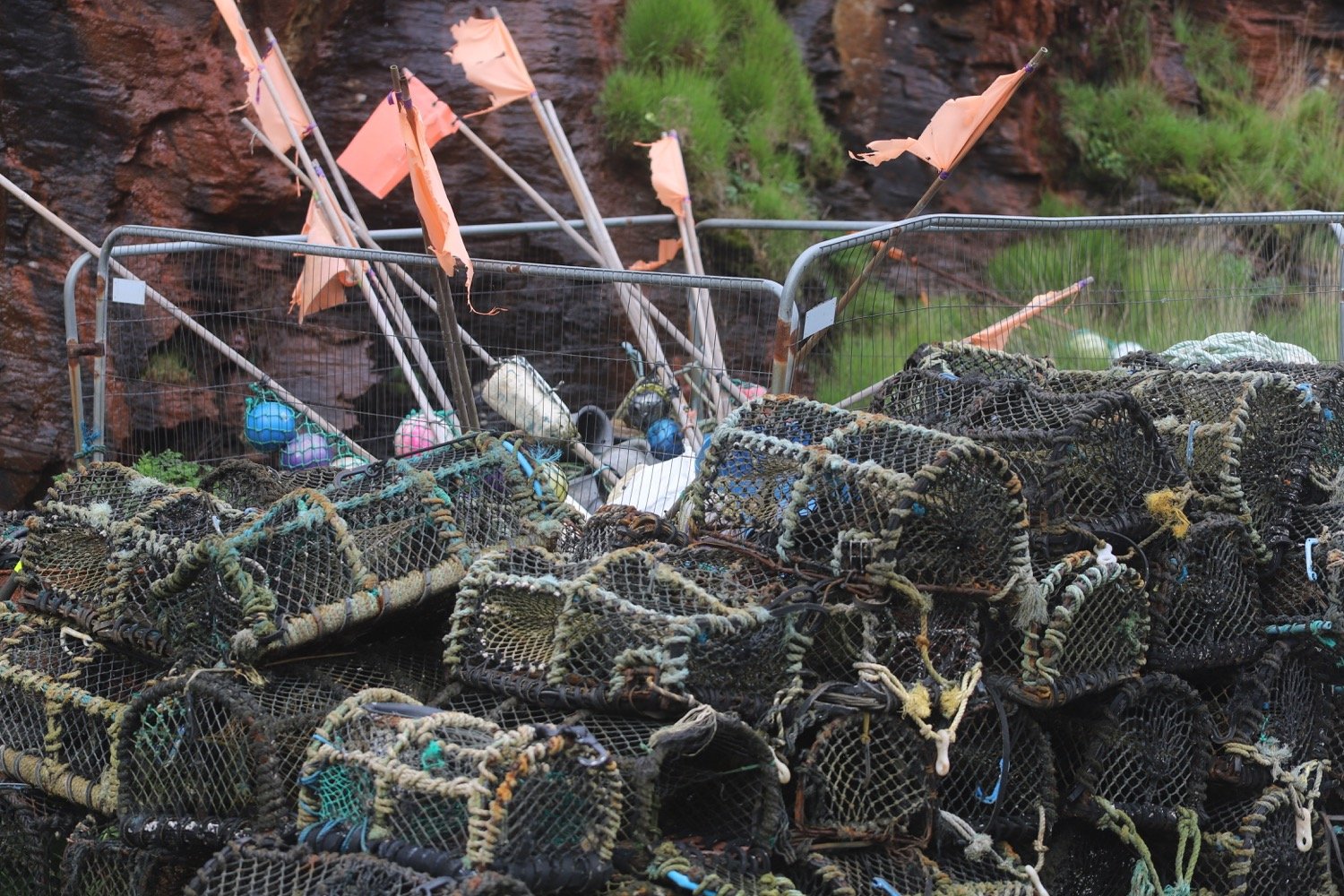
(not) beach collection