the source of the thames to cricklade

thames path

24th july 2014

Phew! What a scorcher!!

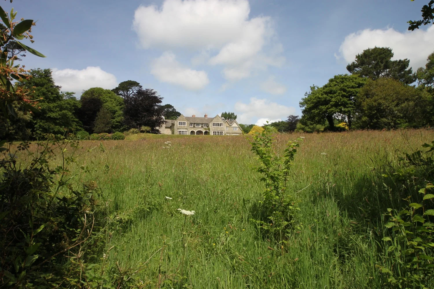
I start the day in a field! Not any old field, mind you. This field is called Trewsbury Mead and is the birthplace of the River Thames. A simple stone carved by the Thames Conservators (it's very hard to read now) and a pile of stones, underneath an ancient ash tree, marks the spring at the start of the River Thames. There's no sign of water today so the spring must be deep beneath my feet.

The conservators of the River Thames
1857 - 1874
This stone was placed here to mark the
source of the River Thames

simple stone

source of the thames

Just as I begin to contemplate today's walk five people turn up at the source having completed their walk for the day. I thought this field was in the middle of nowhere! One person had set off from Lechlade at 5:30 this morning and was in training for a non stop walk/run of the Thames Path in August which he is expecting to complete in about 55 hours.

looking back to the source of the thames

After taking photos for some of the people completing their walk, I leave the crowded source of the Thames and head towards Kemble. I cross the busy Fosse Way otherwise known as the A433 and walk across more fields to reach the outskirts of Kemble.

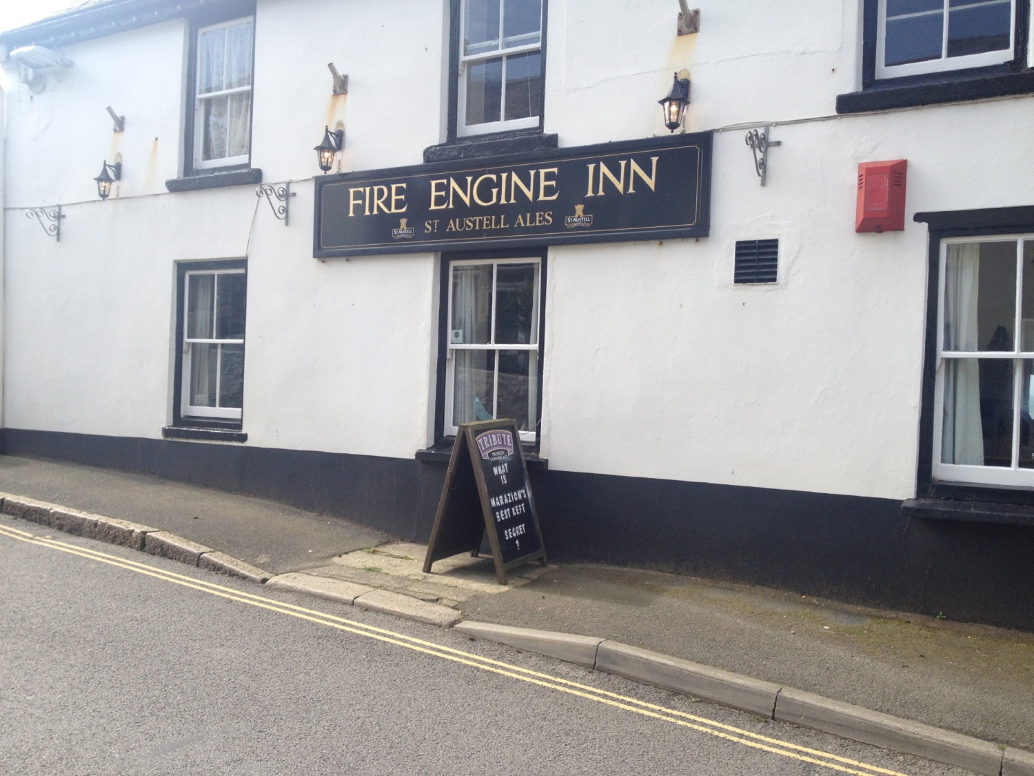
I join a minor road at Parker's Bridge and wander along a small path between the road and the now flowing  river and then pass cottages on the outskirts of the village of Ewen. I wander in to the village to visit the Wild Duck Inn which looks rather posh to me.

wild duck inn

It seems that even the Cotswolds has a litter problem as I find several empty cans of Strongbow on the grass outside the pub.

I head back out of the village to regain the path and find the Thames again on the outskirts of the village where I find some cows enjoying the cooling water. I also see a kingfisher fly past me.

cows enjoying the water

I amble along the Thames passing my first weir and then enter open meadows where I pass under some crackling power lines. I pass a family of swans feeding amongst the watercress.

power lines stretch into the distance

I walk across a long wooden bridge to enter Neigh Bridge Country Park where I find a lake. Here I get lost as the signs are suddenly useless and I'm not alone as other walkers are wandering around trying to find any sign of the Thames Path.

Eventually I find some signage out on the main road so head down this road before turning down a gravel path and I start to walk through Cotswold Water Park (although it's not entirely clear where the park starts) which has not got WATER in its name for nothing. Suddenly there's water everywhere! There are water filled gravel pits either side of me (about 150 in total) and I pass many of them as I amble through the park and I cross the River Thames many times. The trouble is that the path is heavily vegetated so you only get fleeting glimpses of the lakes.

I pass through Flood Hatches Copse (apparently!) and enter the village of Ashton Keynes. Here I enjoy the charms of the Cotswold stone village. I then detour to visit the White Hart Inn which can be found just past one of the four preaching crosses in the village.

ashton keynes

white hart inn

I walk along Back Street and then pass some houses on the outskirts of the village before entering a sports field and cross Ashton Keynes Millennium Green (which just seems to be a field!) and walk along a causeway between two more lakes.

danger - quicksand

There's some quicksand here which I manage to avoid and then I pass more lakes including a whopper of a lake, Manorbrook Lake, where I stop to watch a waterskier.

manorbrook lake

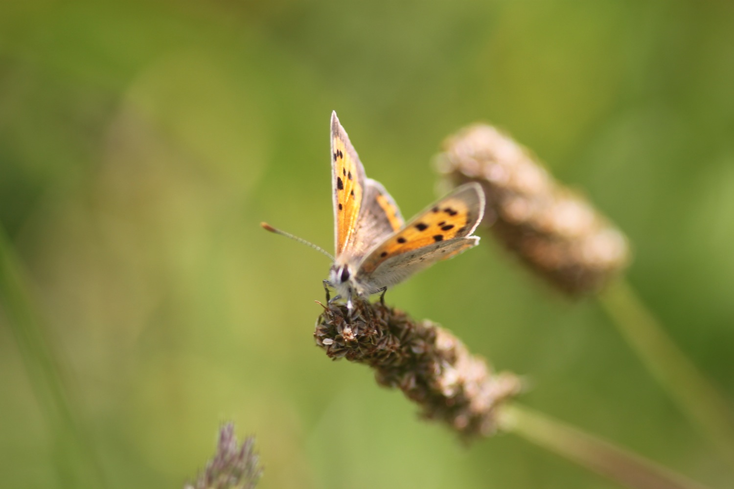
I leave Manorbrook through a gate and wander around Cleveland Lake to rejoin the Thames. The paths around here are full of butterflies and dragonflies but they prove to be elusive to photograph. Eventually I manage to photograph a small tortoiseshell.

small tortoiseshell


hawk moth caterpillar

Even though we haven't had any significant rain the paths around here are a bit muddy in places and I come across what seems to be a hawk moth caterpillar, although I'm not sure which one and it appears to be the worse for wear.

I pass Elmlea Meadow and the paths around here are looking lovely.

summer path

Here I manage to photograph my first brimstone butterfly of the season and it proves to be very obliging.

brimstone butterfly

I walk along a track on the converted bed of the old railway and then reach a bridge on the line of the North Wiltshire Canal where some sheep are making an awful lot of noise.

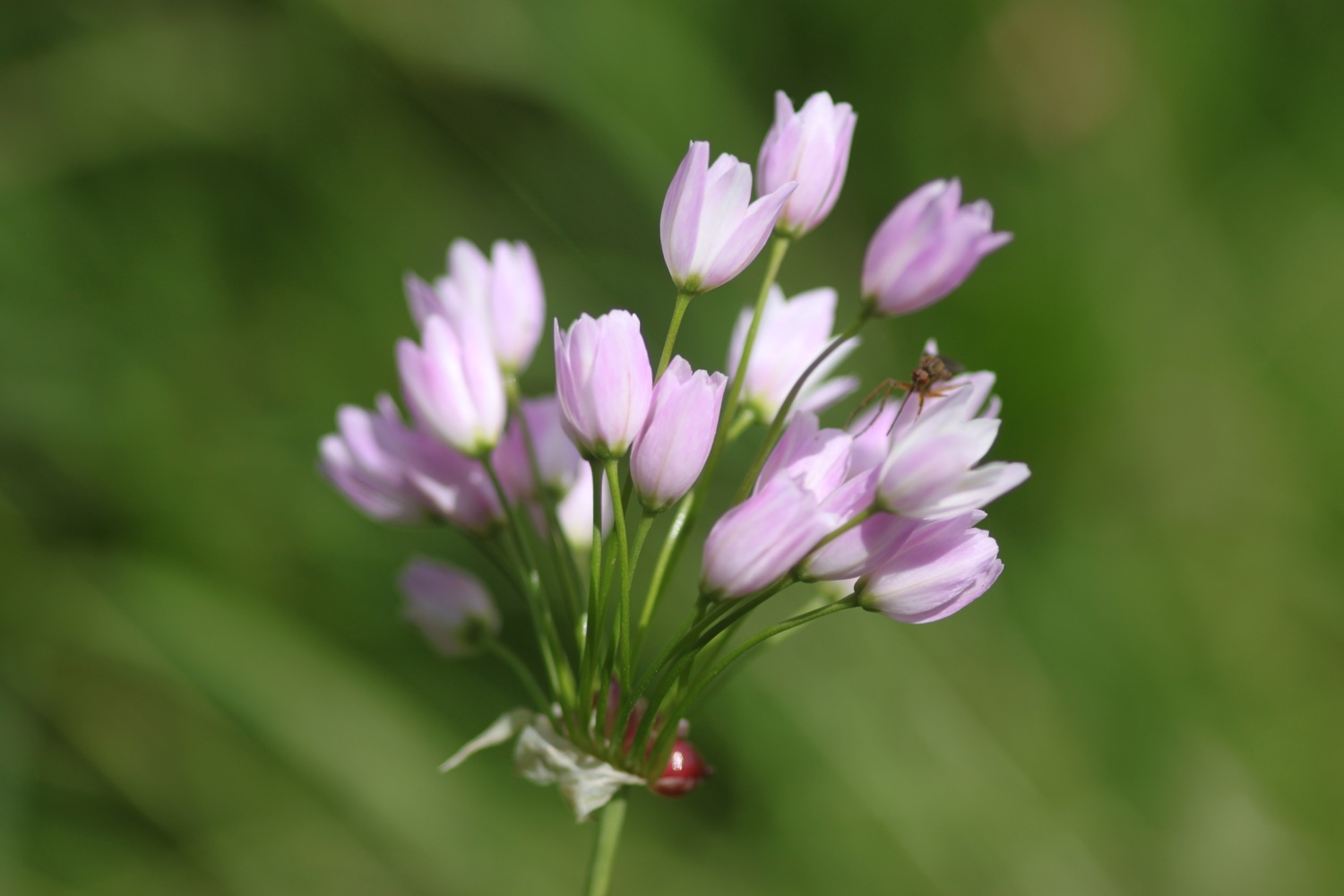
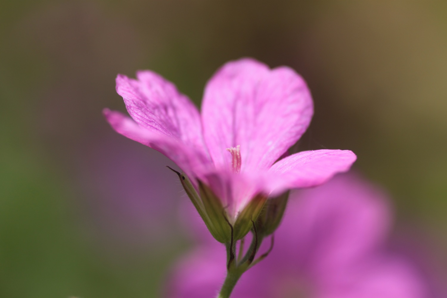
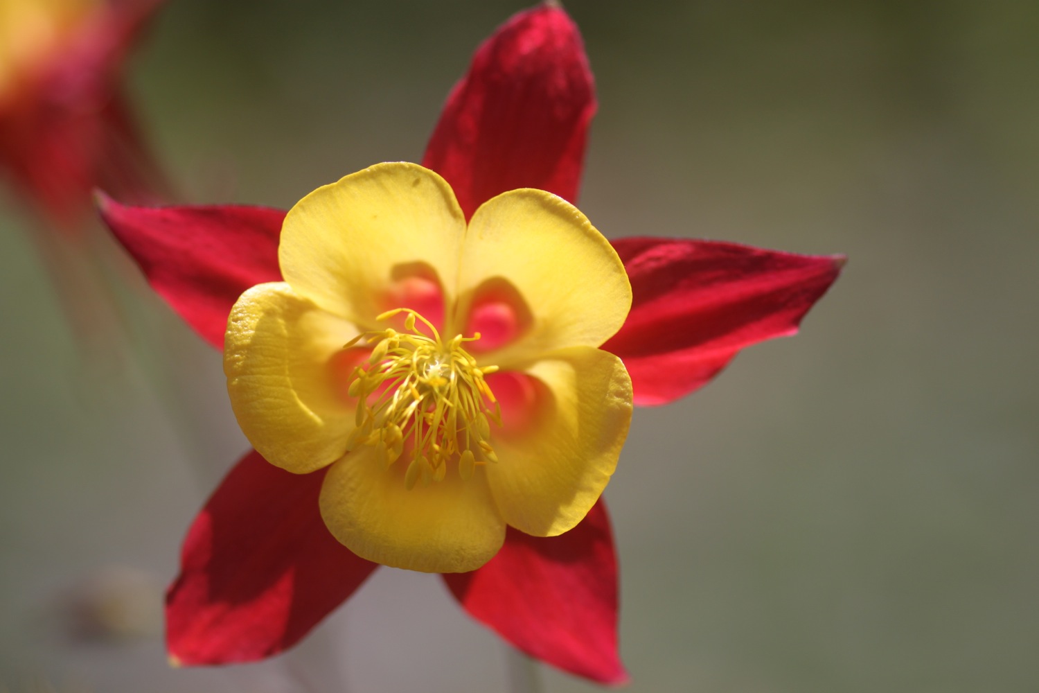
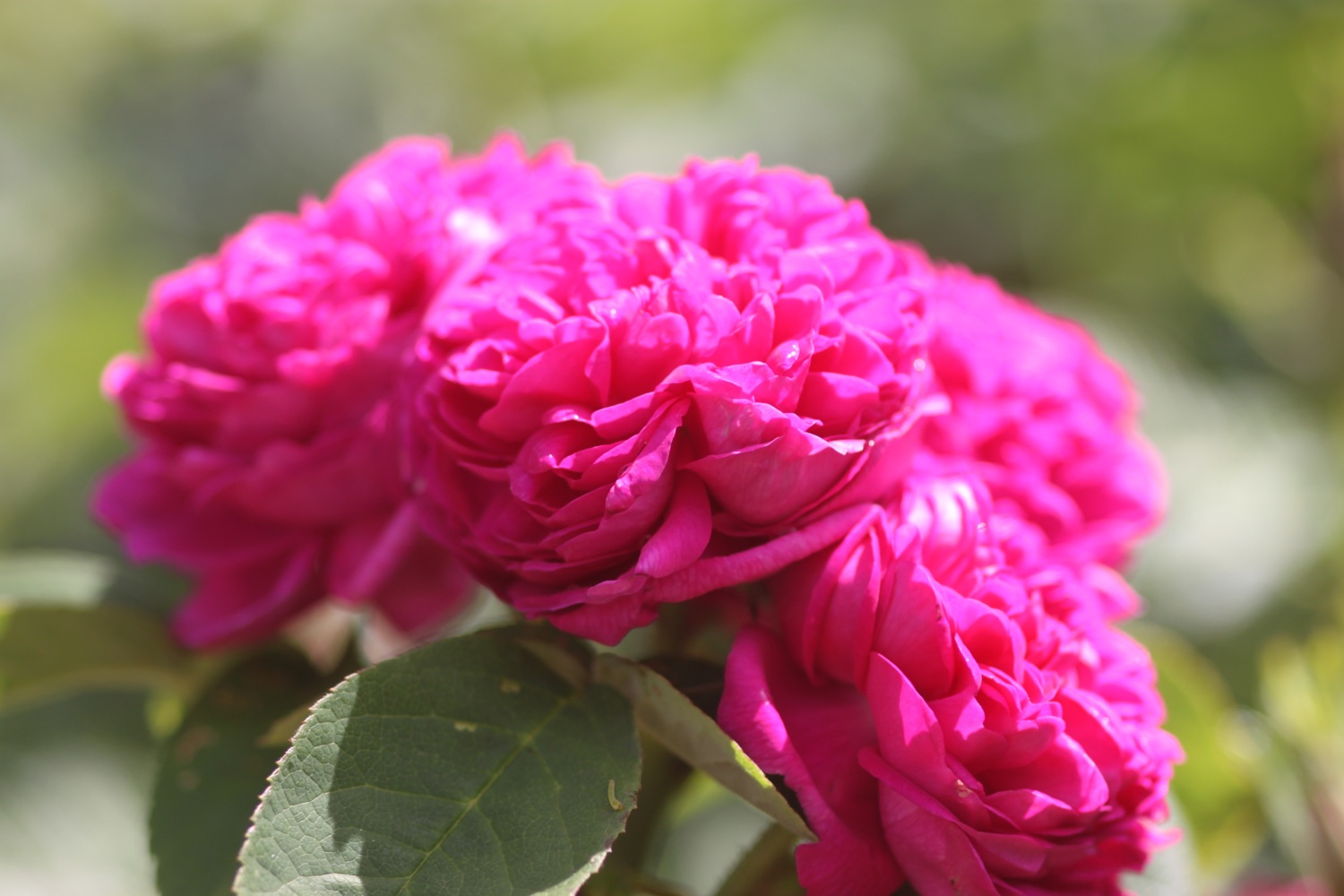
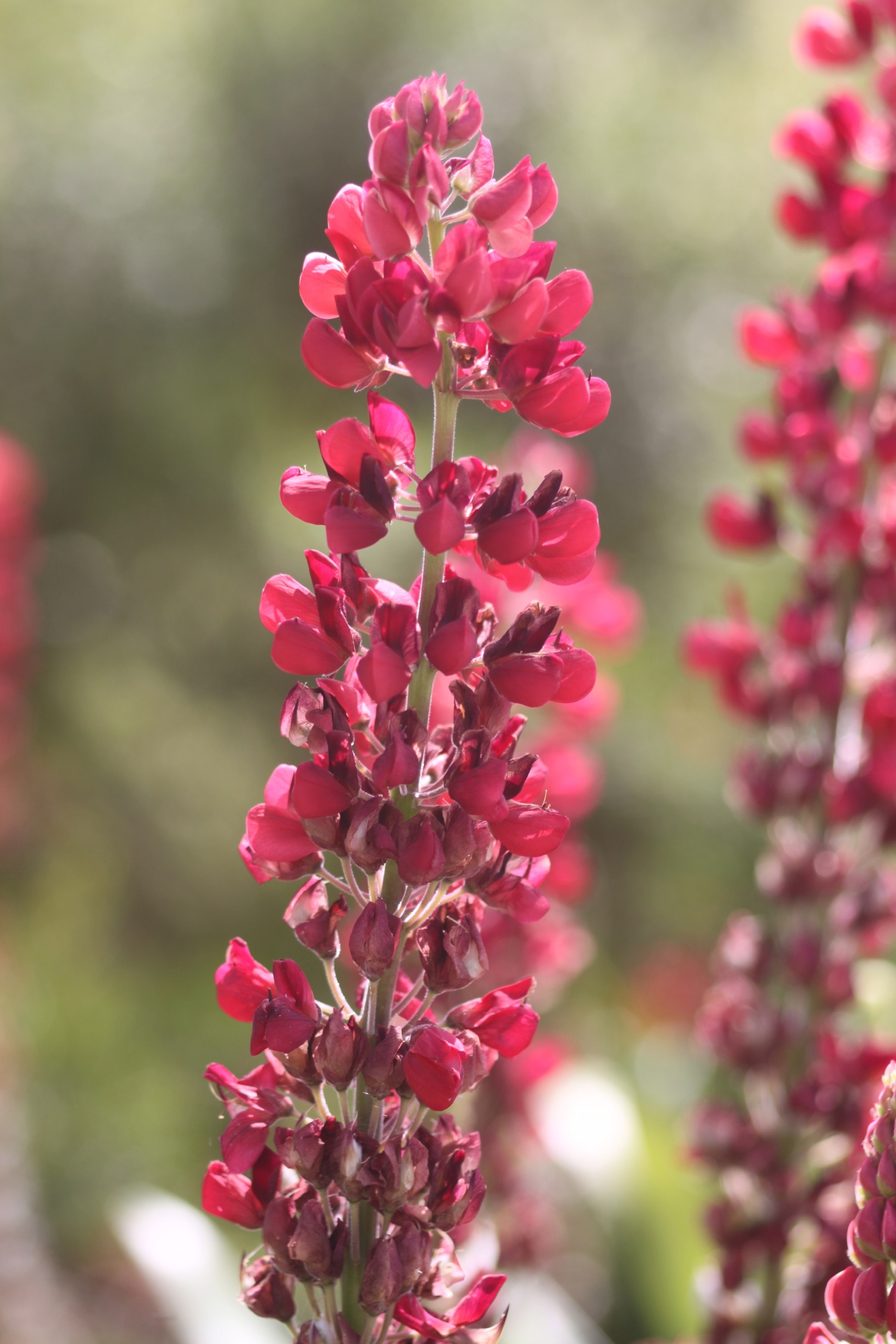
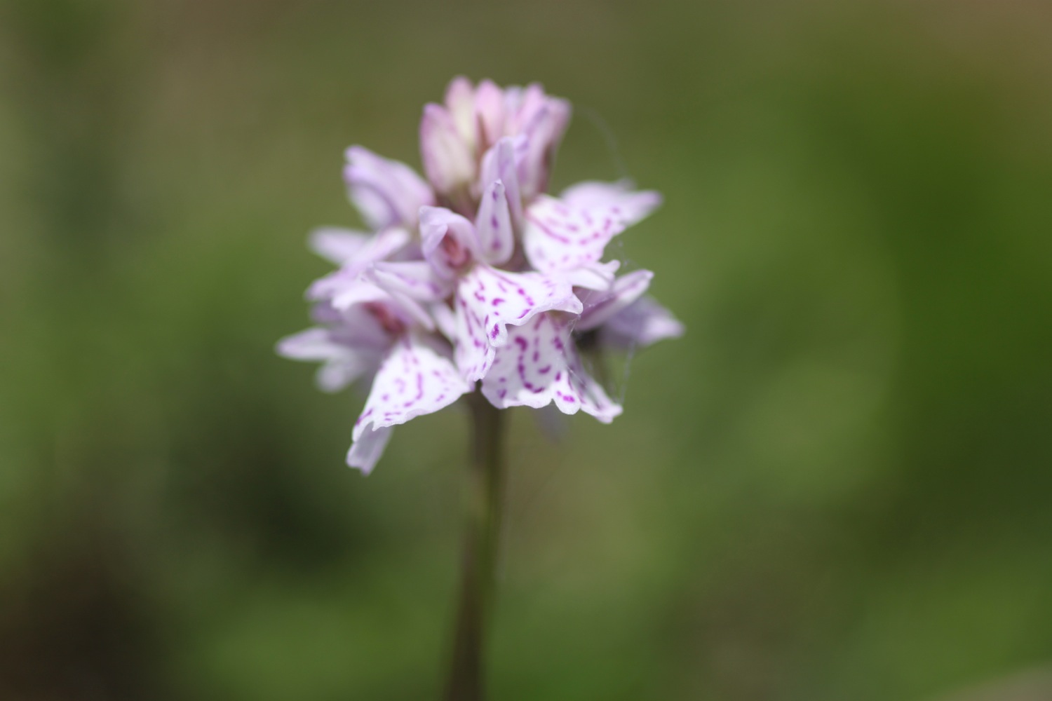
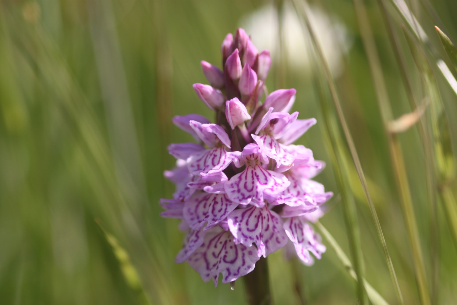
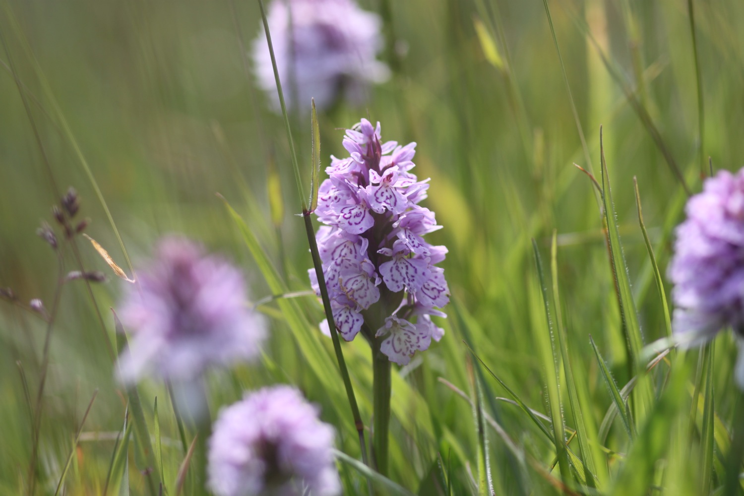
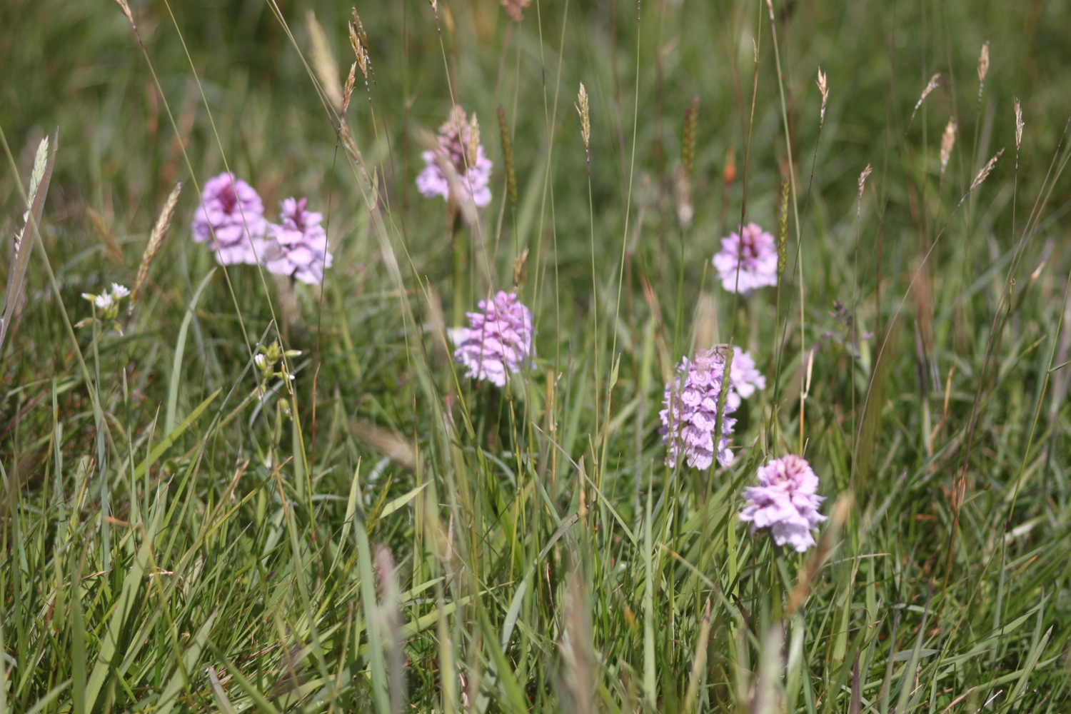
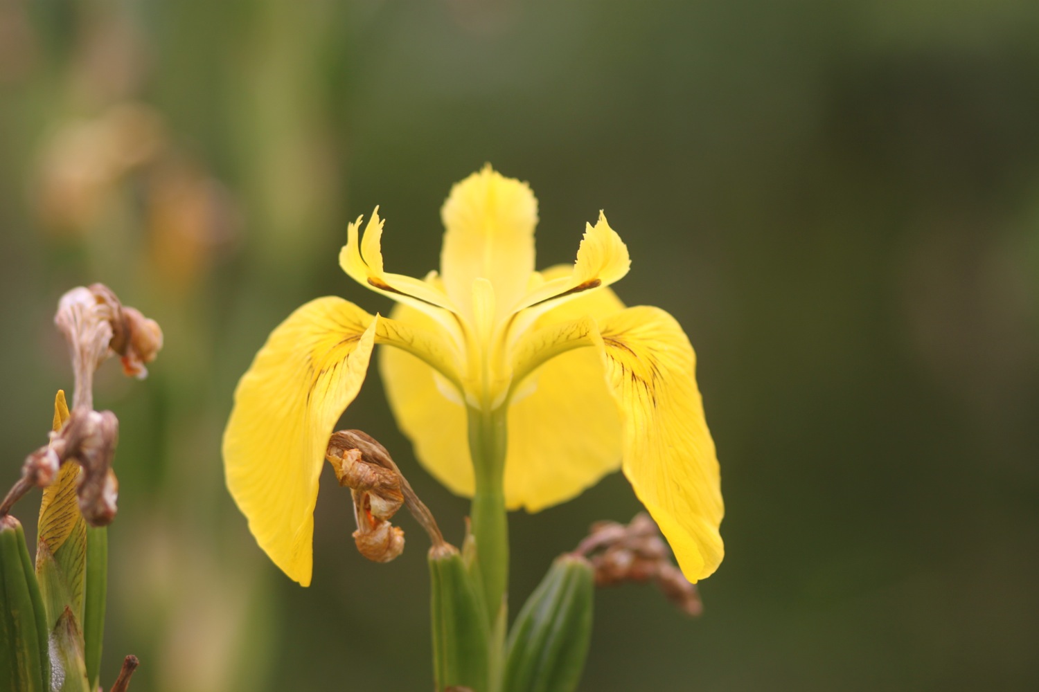
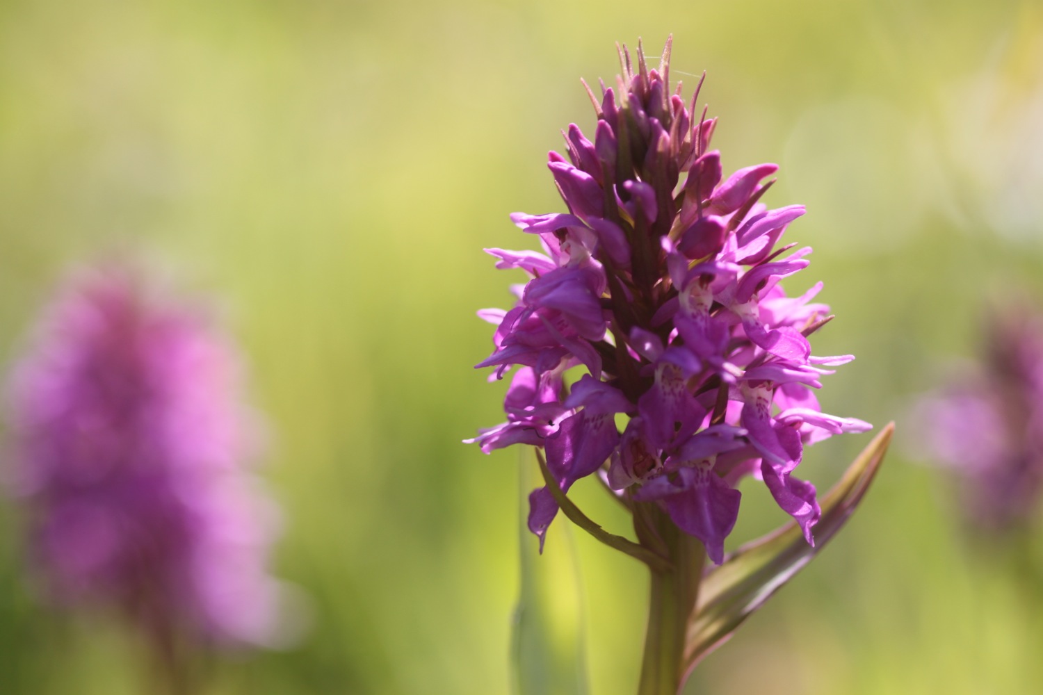
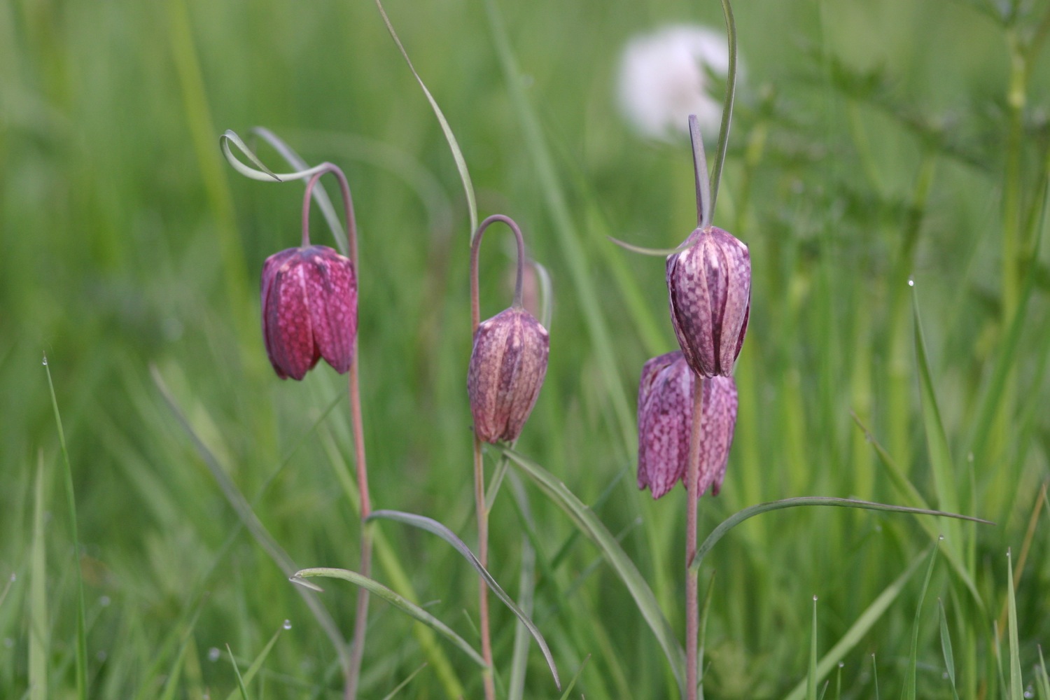
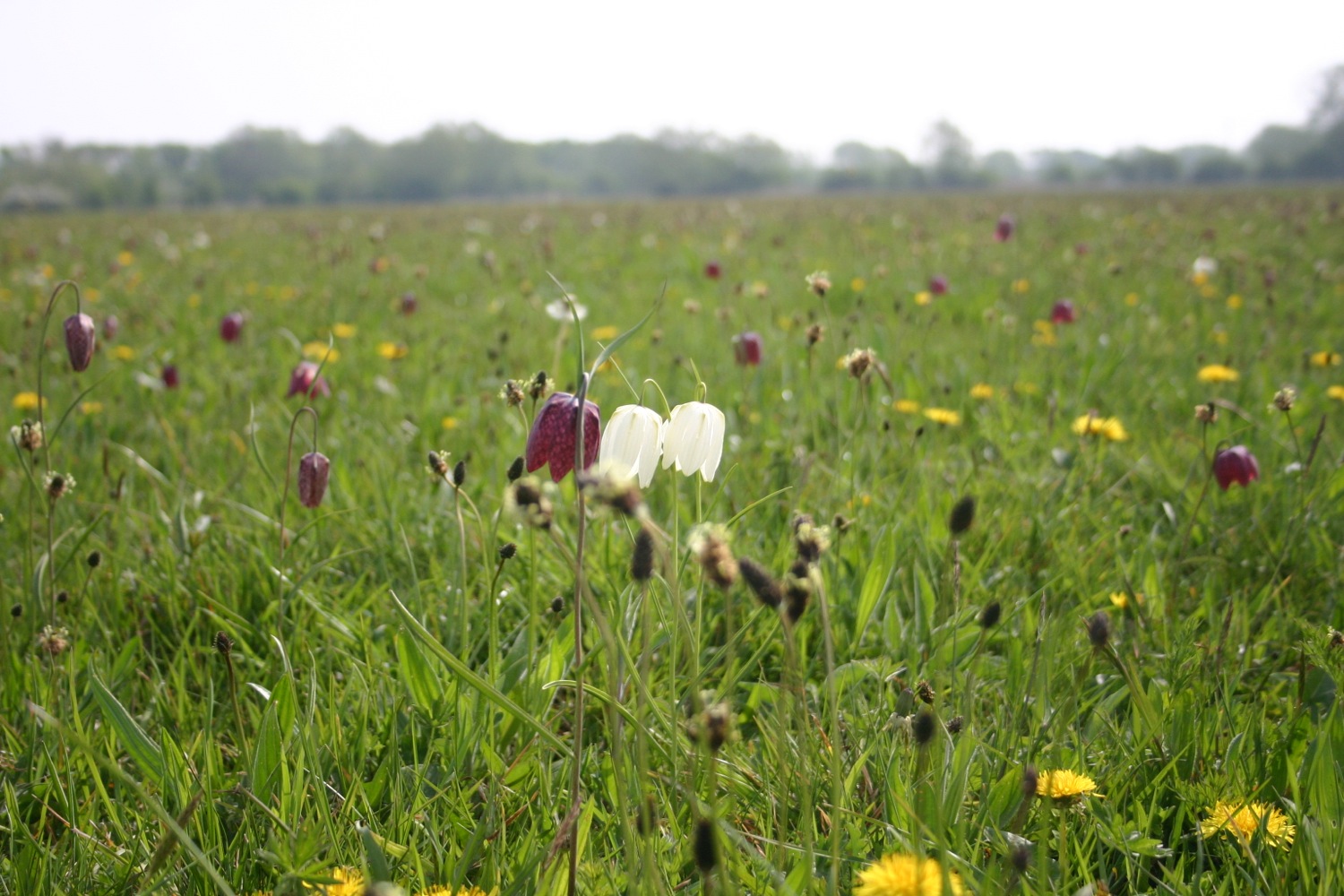
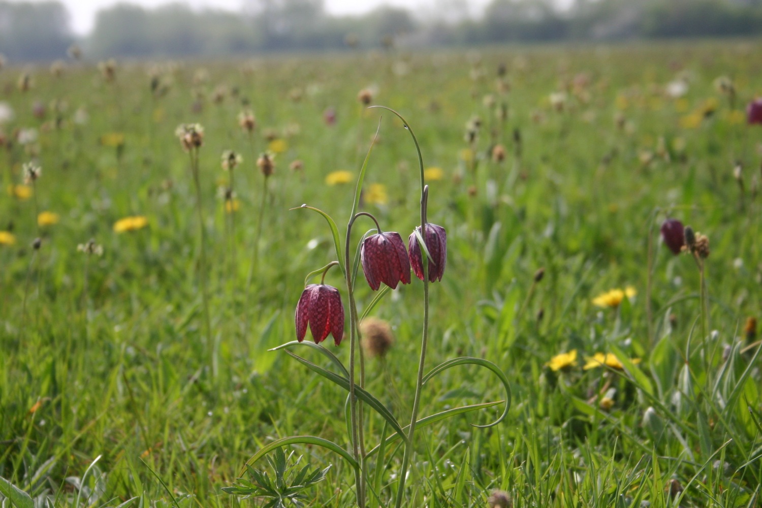
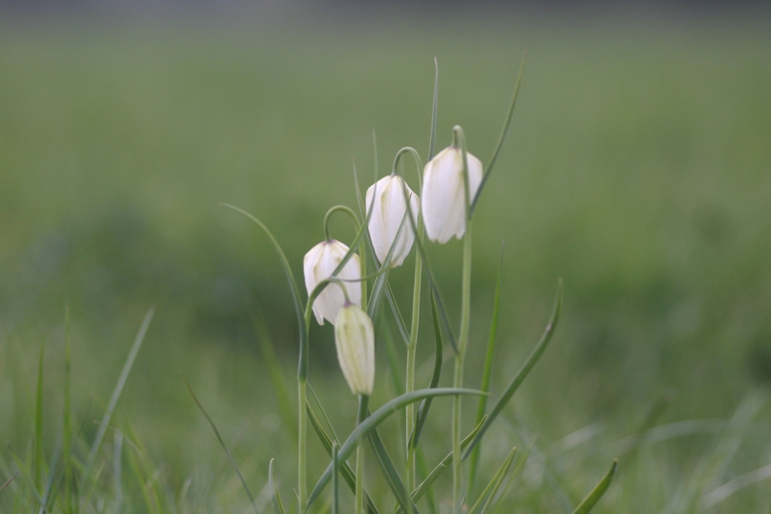
A gate and steps lead down to North Meadow Nature Reserve, an old hay meadow and now a National Nature Reserve and Site of Special Scientific Interest. The meadow is a magical place in Spring when millions of snakes head fritillaries are in flower. I haven't visited the meadow for a while but I've included some photos from my last visit below. 

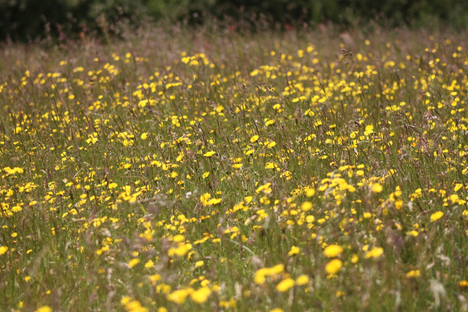
The meadow still looks lovely on this beautiful summer's day and the tractors are out in force cutting the meadow for silage.

north meadow in summer

I follow the river bank and enter the village of Cricklade.

I pass though another meadow and my hay fever is playing up big time now! At the other side of the meadow a gate leads to Cricklade High Street.

cricklade high street

There are plenty of pubs here including the Red Lion Inn (@theredlioncrick), the White Hart, and the Old Bear Inn. It's rather nice around here so I settle for some refreshments at the Red Lion Inn which I come to on the High Street straight away. They have an amazing selection of beer and I settle for a pint of Camden Hells Lager to cool me down and which is lovely, if expensive!

red lion inn

a rapidly emptying hells lager

FLORA AND FAUNA

Flora and fauna encountered on the walk today includes :-

  • buzzards
  • pheasants
  • swifts
  • house martins
  • swallows
  • ducks
  • a kingfisher
  • peacock butterflies
  • wrens
  • watercress
  • dragonflies
  • cows
  • sheep
  • small tortoiseshell butterflies
  • brimstone butterflies
  • a hawk moth caterpillar
podcast logo small.png

PODCAST

The podcast of today's walk is now available.  You can subscribe via the iTunes store or listen using the player below.

MARKS OUT OF TEN?

It has been an absolute scorcher of a day today but I've been accompanied by a nice breeze for much of the day and I've had some shade. According to my phone I've walked 14 miles today which amounts to 30220 steps. It feels a bit weird not walking by the sea but even so the walking has been great even if it has been easy. 8 out of 10.


View source of the thames to cricklade in a larger map

small tortoiseshell

porthallow to falmouth

south west coast path

11th june 2014

Today's weather forecast looks to be fantastic again, with sun forecast all day long and warm temperatures. Woop!

Falmouth high tide 16:39

Falmouth low tide 10:54

I start the day back at the Five Pilchards Inn in Porthallow where I walk along the back of the beach and then climb some concrete steps before battling with the jungle like vegetation.

porthallow

The flowers around here are amazing and there are bees and butterflies fluttering around everywhere. I enjoy the views back to Porthallow. A cliff top walk leads me to Nare Head where I can now see the Helford estuary which will be my companion for the rest of the day.

view back to porthallow

I walk along Trewarnevas Cliff but the views are mostly obscured by trees and the paths are fiddly and overgrown. There are deserted beaches here and I enjoy Men-aver beach all to myself before dropping down to the shore of Gillan Creek at Gillan Harbour.

men-aver beach

I continue to reach Flushing Cove and the coast path continues down steps to the shore where there is a set of stepping stones which allows you to cross the creek at low tide. It's close to low tide but this route is closed due to bank erosion so I continue on the alternative high tide path around Gillan Creek.

flushing cove

eroded bank diversion

The path follows the road although I'm sure it used to cross fields but I fail to see any signs and eventually takes me round to the head of Gillan Creek where I find some nesting swans with a number of cygnets.

I continue on the road but it is only fit for pedestrians as the road has had a serious malfunction and part of it has fallen in to the creek. 

I drop down to the shoreline of Gillan Creek at the other side of the stepping stones and the shoreline leads me to the tiny village of St Anthony-in-Meneage where I explore the grounds of the parish church of St Anthony.

st anthony-in-meneage

I walk along the road past the church and then through a gate and then up through fields. I turn direction and walk along the Helford River with fine views across to the other side. I enjoy the deserted beaches here.

helford river beach

I then enter woods where the views are more fleeting before joining a road which leads into Helford. I walk down to the ford and footbridge and pass the post office shop and the thatched Shipwrights Arms (@ShipwrightsArms) which is looking lovely after its recent-ish renovation.

helford village

shipwrights arms

I walk along a path and climb down some steps to reach the ferry stop only to find out that I've hit the river at precisely low tide so the ferry won't be running for a while. I open the brightly coloured sign to signal for the ferry and munch on some lunch while waiting for the half hour or so until the ferry is able to run again. The weather is indeed AWESOME.

high tide

helford river

The ferry takes me over the Helford River to Helford Passage and the Ferryboat Inn. I potter along the small beach here collecting shells.

helford ferry at helford passage

I walk along a path at the edge of fields before entering woods and then a road at Durgan where I pass the Old School House

durgan beach

The road continues through woods out of Durgan and continues to Bosloe.

I walk below Bosloe House and through the lovely Bosloe Hay Meadows where wildflowers and butterflies abound, especially at this time of year.

Next up are two lovely beaches, Porth Saxon (or Porth Sawsen) and Porthallack which are very familiar as we've stayed in Mawnan Smith the previous two years. I amble around these for a bit. They are deserted except for some sailors.

porth saxon

porthallack

I enter woods near Mawnan and head through the woods to reach Rosemullion Head.

rosemullion head

I pass tall pines, ferns, foxgloves and MASSIVE echiums and explore beaches not marked on my map before reaching Maenporth. The Maenporth beach cafe can be found here and life, is indeed, a beach. At least for this week.

maenporth beach

life's a beach

I amble along Maenporth Beach collecting shells and then, since it's so hot, I grab an ice lolly at the beach cafe. I follow the wooded path that leads to Swanpool (@swanpoolbeach) and enjoy the wild flowers and butterflies. 

I pass Hooked on the Rocks and enjoy the views over Swanpool. I descend on to the busy beach and wander along the beach collecting shells.

swanpool

I climb out of Swanpool, passing the Swanpool Nature Reserve and the brightly coloured beach huts, to reach Gyllyngvase Beach where the Gylly Beach Cafe can be found. The sun has brought out the crowds and the beach is much busier than I am used to. I wander past the people playing beach volleyball and amble along the long, crescent shaped beach before heading for the heart of Falmouth. Above the beach i pass the Shellfish Pig (@theshellfishpig).

gyllyngvase beach

I head through the Princess Pavillion, enjoying the gardens here.

I wander through Falmouth to reach Custom House Quay at the end of the day's walk, along the way passing the Cutty Sark, 5 Degress West, the Quayside Inn, the Shipwrights and Chainlocker and the Front.

falmouth

FLORA AND FAUNA

Flora and fauna encountered on the walk today includes :-

  • wrens
  • chaffinches
  • robins
  • swans
  • masses of bees
  • a painted lady
  • swallows
  • red campion
  • foxgloves
  • cows
  • clover
  • buttercups
  • ribwort plaintain
  • scots pines
  • gunnera
  • honeysuckle
  • skippers
  • primulas
  • geraniums
  • roses

PODCAST

The podcast of today's walk is now available.  You can subscribe via the iTunes store or listen using the player below.

MARKS OUT OF TEN?

According to my phone I've walked 18.6 miles today which amounts to 35300 steps. I've had gorgeous sunny weather all day long and walking along the South West Coast Path doesn't get much better than this. 10 out of 10.


View porthallow to falmouth in a larger map

gyllyngvase beach

the lizard to porthallow

south west coast path

10th june 2014

Today's weather forecast looks to be a little cooler today with the possibility of showers which should make for perfect walking weather.

Helford River high tide 15:55

Helford River low tide 09:59

I return to the car park in the Lizard village first thing in the morning and wander down the footpath again towards Lizard Point, still getting the dreaded 'No Signal' on my phone.

lizard point

I retrace my steps and pass in front of the youth hostel and then continue in front of the lighthouse. It's a pleasant morning so I continue ambling around to the Lizard Marconi Wireless Station, the oldest surviving Marconi wireless station.

bass point national coastwatch station

I pass the Bass Point National Coastwatch Station and head towards the Lizard Lifeboat Station which has a shiny, new station at Kilcobben Cove, opened in May 2012. Having said that, it appears to be closed to visitors due to repairs.

I reach a small habitation at Church Cove and head towards Cadgwith, encountering a slow worm on the way. I haven't seen one of these for years, at least not alive!

church cove

slow worm

the view back to lizard point

I head on towards Cadgwith, passing the Devil's Frying Pan, where the collapse of a sea cave has led to the creation of a 100 meter deep hole.

I reach flowery Cadgwith and enjoy the roses and poppies here before wandering down to the beach trying to avoid all of the fishing equipment left clumsily lying around! I amble around the beach before stashing some scallop shells into my bag. Leaving the beach, I pass the Cadgwith Cove Inn (@CadgwithCoveInn) before climbing out of the village in front of a row of cottages overlooking the harbour. Some workmen are clearing a cottage here and their van is blocking the path so I have to scramble over vegetation to get around the van. That's about as exciting as the day gets!

cadgwith harbour

cadgwith cove inn

cadgwith

I continue to Poltesco Cove where a footbridge crosses a wooded river, passing shetland ponies munching on the vegetation.

poltesco

poltesco footbridge

view over poltesco

I continue on towards Kennack Sands, enjoying the views back over Poltesco. I reach Kennack Sands, pass the cafe here and wander down on to the beach to waste a bit of time. It can get popular here but I have the beach to myself at this time of the morning, except for somebody messing around in the rock pools here.

kannack sands

I walk across the beach and climb back up on to the cliffs, enjoying all of the wildflowers and wildlife on the low cliffs. I'm on my own now until I reach Coverack! I walk along easy paths over Eastern Cliff through gorse and heather passing Spernic Cove, Lankidden Cove, Butter Cove and Downas Cove to reach Beagles Point. On the way I come across another red admiral butterfly.

red admiral

downas cove

On Beagles Point I admire the view back to Lizard Point which will soon disappear from view.

view back to lizard point

I climb over the cliffs to reach the old coastguard lookout at Black Head. I turn in a northerly direction and enjoy the flora and fauna here. I come across another group of orchids and there are butterflies fluttering around all over the place.

Easy walking takes me on towards Coverack but before reaching the small fishing village, signs warn me of a steep and rocky descent so I pack my camera away just in case. It turns out to be a thoroughly decent descent and the path is much better than in other places. A shower of rain cools me down here but it barely lasts thirty seconds before the sun is out again. 

I pass the Lifeboat House Restaurant and the Paris Hotel and enter the village of Coverack, passing the small harbour full of fishing boats.

coverack harbour

Coverack is looking lovely on this summer's day. I visit St Peter's, the parish church here where signs warn about leaving wilting flowers in the churchyard and the consequences thereof! It's hot now so I nip into one of the the small stores here to grab an ice lolly.

st peter's

coverack

repairing coverack

I drop down temporarily to the beach, sucking on the lolly and then inspect the damaged sea wall. Coverack, like many of the places around here took a battering in the winter storms and the place still looks a bit of a mess but the sea wall is slowly being repaired.

I admire the sandy beach here one last time before climbing steps next to the damaged sea wall and walk along the road to leave Coverack, passing the Bay Hotel on the way. 

coverack beach

I climb a tarmac road to leave Coverack and then enter a muddy area using granite stepping stones to keep relatively dry and mud free. It always seems to be muddy here! I continue on the path towards Lowland Point passing a herd of cows and then a group of flag irises.

dean quarry

I pass through the abandoned Dean Quarry - at least I think it's abandoned but signs still warn of blasting and continue to reach Godrevy Cove which, as ever, is completely empty. It's not really surprising since it's in the middle of nowhere!

godrevy cove

I amble along the grey, sandy beach, collecting shells and then head inland on a path that seems to be different each time I come here. The path from here to Porthallow would test the Trade Descriptions Act as a coast path as, for much of the time, it's far from the coast. Hopefully, one day this stretch of coast path will be improved.

The path crosses farmland to reach the village of Porthoustock with its shingle beach housing small fishing boats and its still active quarry.

porthoustock

I follow the road to leave Porthoustock and then keep my eyes open for the signs that point to a vague path over fields and then re-joins the road. The path nips down a track behind the road where I pass the Fat Apples Cafe and then re-joins the road again for the short trek into Porthallow.

I pass the Five Pilchards Inn, henceforth known as the Five Pilhars Inn, and wander on the pebbly beach here.

five pilchards inn

FLORA AND FAUNA

Flora and fauna encountered on the walk today includes :-

  • seagulls
  • cormorant
  • foxgloves
  • red campion
  • sea campion
  • snails
  • a fleeting glimpse of a hummingbird hawk moth
  • slow worm
  • roses
  • red admiral
  • flag irises
  • sea thrift
  • nasturtiums
  • common spotted orchids
  • honeysuckle
  • wood spurge
  • shetland ponies
  • poppies
  • gunnera

PODCAST

The podcast of today's walk is now available.  You can subscribe via the iTunes store or listen using the player below.

MARKS OUT OF TEN?

According to my phone I've taken 40062 steps today. My phone failed to record my mileage all the way around today but it should be about 15 miles. The walking has been great and although it did threaten to rain briefly, aside from a very brief shower the weather has been warm and sunny. The walk is let down by the last stretch of coast path but, hey ho! 8 out of 10.


View the lizard to porthallow in a larger map

downas cove

the lizard to porthleven

south west coast path

8th june 2014

It looks like good walking weather again with sunshine and plenty of breezes to keep me cool.

Porthleven high tide 13:44

Porthleven low tide 07:40

Major equipment (or user!) failure today. I don't have a phone signal at the Lizard so I can't start up some of my apps and then part way through today's walk I manage to switch the phone into airplane mode which stops all of the apps from recording any info. Bugger!

I start the day at the car park in the Lizard village. I'm walking this walk to Porthleven in the wrong direction so that when I reach Kynance Cove the sea won't have swallowed up the beach.

old lifeboat station

I wander down the footpath to reach Lizard Point, the most southerly point on mainland Great Britain noticing on the way the dreaded 'no signal' on my phone. Bugger! I wander down to the old lifeboat station  (I'll pass the latest lifeboat station in a couple of days) and then climb back up and head off along the cliffs. Masses of seagulls are flying around here.

seagulls

cornish choughs

Choughs (@cornishchoughs) have taken up residence here. They became extinct in Cornwall in 1973 but returned in 2001. There are seven pairs of Choughs in 2014 and a non breeding flock of immature birds. I see a few of them playing in the air but they are difficult to photograph and it's far too breezy to record them.

looking towards kynance cove

I continue along the cliffs towards Kynance Cove enjoying the magnificent views and the lovely wildflowers. Before reaching Kynance Cove, Pentreath Beach can be found which is a little difficult to reach, involving scrambling down what appears to be little more than a goat track. It definitely looks worth the diversion but it's too adventurous for me with my heavy backpack.

At the top of Kynance Cove I'm greeted by some wooden boards highlighting the local wildlife before descending steeply down to the cove.

Bugger! I must have mis-read the tide times as there is little more than a postage stamp sized bit of the beach! I enjoy walking along what little of the beach I have anyway. I have the whole place to myself. I waste quite a bit of time here before strapping back on my bag and climbing back out of the cove, passing the Kynance Cove Cafe on the way.

kynance cove

kynance cove

bloody cranesbill

As I climb out of Kynance Cove I pass the native bloody cranesbills. The views back overlooking Kynance Cove are magnificent.

view over kynance cove

After ambling for far too long I head off along the Lizard cliffs where I encounter the first orchids of the day, including loads of heath spotted orchids so I waste more time, taking photographs. They seemed to be easier to identify a year ago.

I continue along the cliffs, enjoying the views to reach Predannack. Predannack airfield is nearby and there is usually a constant stream of helicopters flying overhead but it's quiet today. Maybe they don't fly on a Sunday? The wild flowers around here are amazing and there's sea thrift everywhere.

sea thrift

Mullion Cove comes into view and I take the steep descent down to the harbour. Mullion Cove took a battering in the winter storms and the harbour was badly damaged. It's still looking a bit of a mess but at least it's being repaired.

mullion cove

repairing mullion cove

I ascend the other side of Mullion Cove and pass the Mullion Cove Hotel (@mullioncove) before heading along the cliffs to reach sandy Polurrian Cove. I waste more time pottering along the sandy beach before climbing back out of Polurrian Cove and heading along the cliffs.

polurrian cove

marconi monument

I pass the Marconi monument, a granite monument commemorating the first transatlantic radio transmission on the 12th of December 1901. I think that Marconi probably had a better signal 100-odd years ago than I've had today. I continue along the cliffs enjoying the masses of pink sea thrifts.

I reach Poldhu Cove where the Poldhu Beach Cafe (@poldhu) can be found and waste more time on the sandy beach. It's quite a bit busier here than I'm used to.

poldhu cove

I leave Poldhu Cove via the road and encounter more sea thrift before descending down to Church Cove.

church cove

I waste yet more time on the sandy beach here before heading along the beach to reach the church of St Winwaloe, set into the hillside beside the beach.

I continue along Halzephron Cliff enjoying the beautiful wildflowers and Porthleven Sands has now come into view. Halzephron Cove can be found at the end of the cliffs but the climb down is a little adventurous even for me.

wild flowers on halzephron cliff

I continue walking to reach the much more benign Gunwalloe Fishing Cove. I meet some people here who I'll bump into again in Porthleven. I enjoy the sandy and pebbly beach before heading off on the final leg of my journey. The Halzephron Inn (@InnHalzephron) can be found slightly inland here.

gunwalloe fishing cove

rusty fishing equipment

I walk past ancient fishing winches enjoying the views to Porthleven.

I walk along the path above Porthleven Sands and then descend to Loe Bar and crunch along the pebbly beach.

From here it is easy walking to reach the harbour at Porthleven. I finish the day at the Harbour Inn where a refreshing pint of Tribute awaits.

porthleven

FLORA AND FAUNA

Flora and fauna encountered on the walk today includes :-

  • seagulls
  • choughs
  • sea thrift
  • skylarks
  • heath spotted orchids
  • rooks
  • ragged robin
  • buttercups
  • caterpillars
  • common spotted orchids
  • southern marsh orchids
  • water forget-me-nots
  • sea campion
  • red campion
  • foxgloves

PODCAST

The podcast of today's walk is now available.  You can subscribe via the iTunes store or listen using the player below.

MARKS OUT OF TEN?

Fortunately I have a back up to my pedometer app so I've taken 36430 steps today. I've no idea how far I've walked but it should be about 13.5 miles. I've had gorgeous sunny weather all day long, it's been a beautiful early summer's day and the walking has been about as good as it gets on the South West Coast Path. 10 out of 10. No map today because of the equipment failures.

wild flowers on halzephron cliff

penzance to porthleven

south west coast path

7th june 2014

Happy birthday to me
Happy birthday dear me
Happy birthday to me!

Today's weather forecast looks to be a lovely, early summer's day. Perfect for walking. Woop!

Penzance high tide 12:34

Penzance low tide 06:34

I start the day at Jubilee Pool, Penzance's lido and the UK's largest remaining seawater lido. The lido suffered significant damage in this winter's storms and won't open this year. The place looks in a bit of a mess so I'm not sure that it will open again full stop. 

penzance lido

the dolphin inn

I continue along the coast path around the harbour and pass the Isles of Scilly Travel Centre (@IOSTRAVEL). I've visited the beautiful St Mary's twice but won't have time on this visit. Along the way I pass the Dolphin Inn and the Dock Inn. The Scillonian III is moored on the harbour and people are boarding it ready to cross over to St Mary's.

ex-heliport

I pass Penzance railway station and then join the cycleway, passing what was once the heliport for catching the helicopter to the Isles of Scilly but which is sadly now a Sainsbury's superstore. At a level crossing I join the beach and trudge towards St Michael's Mount (@ntmichaelsmount), collecting shells and pebbles on the beach.

At the causeway leading to St Michael's Mount I head off of the beach, following the path next to Folly Field.

st michael's mount

st michael's mount

I head towards Marazion and walk along Fore Street and then Turnpike Hill, passing the Godolphin Arms (@godolphinarms), the King's Arms and the Fire Engine Inn. Beside the Godolphin Arms is Maypole Gardens which suffered damage in the winter storms and is awaiting repairs.

maypole gardens

On Turnpike Road I pass the Mount Haven Hotel and turn right down a road to leave Marazion behind and head towards Chymoryah East. Here I temporarily regain the shore and clamber over rocks before climbing up a metal stairway to walk along the low cliffs.

I reach Trenow Cove and look back over the beach towards St Michael's Mount before heading along the path to Boat Cove. I encounter my first orchids of the day here (southern marsh orchids I think) and then suddenly runners start to appear..

Not any old runners though. These are equipped with on board hydration tanks and stick on numbers. As I reach Perranuthnoe (@PerranTweets) the mystery becomes clear as there is a check point here for an endurance running race. The place is heaving. In this village can be found the Victoria Inn (@victoriaperran).

I escape the crowds and enjoy the relatively quiet Perran Sands just down the road before bravely facing the crowds again.

perran sands

endurance race check point

I amble back along the coast path below Acton Castle to reach Cudden Point and then Prussia Cove. Prussia Cove is actually made up of three distinct coves, Piskies CoveBessy's Cove and King's Cove but the tide is high and I can barely make them out.

prussia cove

prussia cove

I come across a research project investigating aspects of plant diversity in Cornwall. There are wild cabbages everywhere. 

research project

wild cabbage

I continue my ambling to reach Kennegy Sands. The beach seems to be permanently closed here. It used to be difficult to access by climbing down two chain ladders but it's now fenced off. Even so, I'm sure I can spot footprints in the sand below!

There's plenty of flora and fauna to enjoy and I manage to catch a fleeting photograph of a red admiral butterfly as well as a much more obliging speckled wood.

I then head on towards Praa Sands. Here can be found the Sandbar and the Welloe Rock Inn. Despite being slightly sheltered, Praa Sands took a battering in the winter storms but the 'sand' in Praa Sands has returned so I walk along the beach. It's a bit rough for paddling and I suspect it's freezing, despite it being June.

praa sands

praa sands

Half way across the beach I climb back on to the low cliffs, passing a memorial honouring the crew of a Sunderland Flying Boat which crash landed on Praa Sands in 1943. 

echium

I head through the Sea Meads holiday homes passing massive echiums and leave the holiday homes behind, climbing to reach Rinsey Head where I come across Wheal Prosper tin mine, a rubbish mine which was only open for six years.

wheal prosper tin mine

The path then starts to ramble aimlessly along the cliffs. The coast path is heaving again as I pass a large group of walkers stretched out for miles, presumably walking for the Alzheimer's Society, before finally entering Porthleven. I pass the Ship Inn (@TheShip_levy) on the outskirts of Porthleven and head around the harbour. Time for some chips and and some pints of St Austell Brewery's Tribute Ale at the Harbour Inn.

porthleven

porthleven

yum!

FLORA AND FAUNA

Flora and fauna encountered on the walk today includes :-

  • rabbits
  • seagulls
  • rooks
  • red valerian
  • echiums
  • nigella
  • speckled woods
  • a tortoiseshell
  • southern marsh orchids
  • stinging nettles
  • chaffinches
  • sea thrift
  • the last of the bluebells
  • a wren
  • wild cabbage
  • buttercups
  • cow parsley
  • a red admiral
  • a thrush

PODCAST

The podcast of today's walk is now available.  You can subscribe via the iTunes store or listen using the player below.

MARKS OUT OF TEN?

According to my phone I've walked 17.1 miles today which amounts to 36190 steps. I've never seen the coast path so busy, had gorgeous sunny weather all day long. It's been a beautiful early summer's day and the walking has been fantastic. 9 out of 10.


View penzance to porthleven in a larger map

porthleven