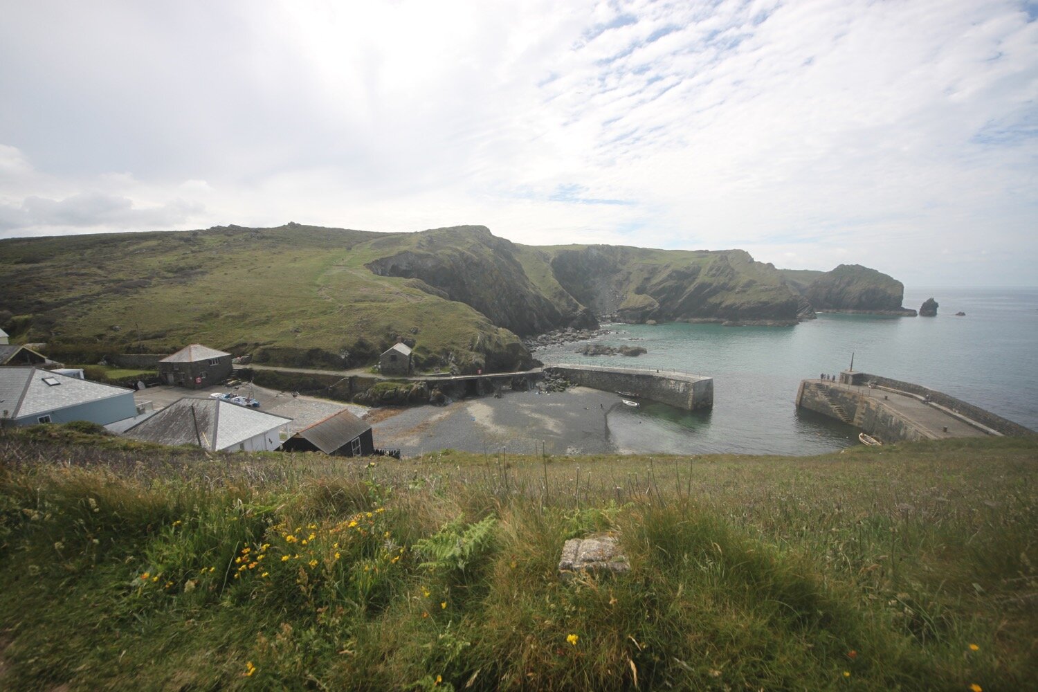
the lizard to poldhu cove
SOUTH WEST COAST PATH
monday, 7th june 2021
Happy birthday to me
Happy birthday to me
Happy birthday dear me
Happy birthday to me!
The weather forecast for today looks to be great with sun all day long and it might actually be quite warm.
Porthleven low tide 10:10
Porthleven high tide 16:01


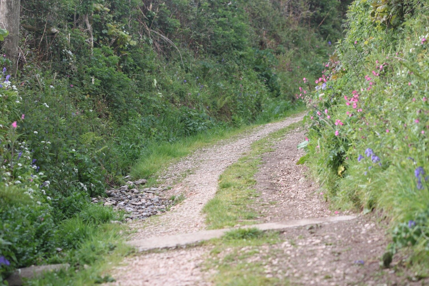
I start the day at the car park in the Lizard village next to the Top House Inn. I'm walking this walk to Poldhu Cove in the wrong direction so that when I reach Kynance Cove it should still be pretty quiet.
I wander down the footpath towards Lizard Point, the most southerly point on mainland Great Britain noticing that for the first time ever, I don’t have the dreaded 'no signal' on my phone, but instead have a 4G signal. I wander down to Lizard Point where masses of seagulls have congregated by the cafe.
seagulls on lizard point
There’s also a chough wandering around but I can’t get my camera out quick enough to photograph it and I’d have had the wrong lens on anyway. I amble down to the old lifeboat station (I'll pass the latest lifeboat station tomorrow) and then climb back up and head off along the cliffs. Masses of seagulls are flying around here.
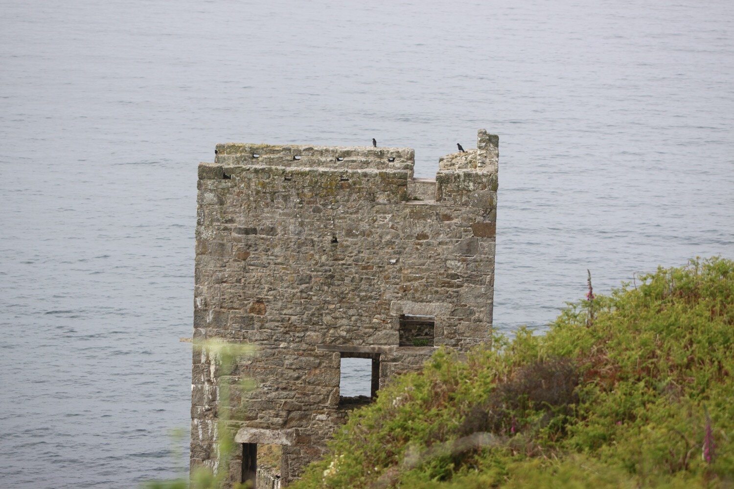
old lifeboat station
Choughs(@cornishchoughs) have taken up residence here. They became extinct in Cornwall in 1973 but returned in 2001. I don’t seem to be able to find any up to date and reliable breeding numbers but they seem to be doing ok. I see a few of them flying around but they are difficult to photograph.
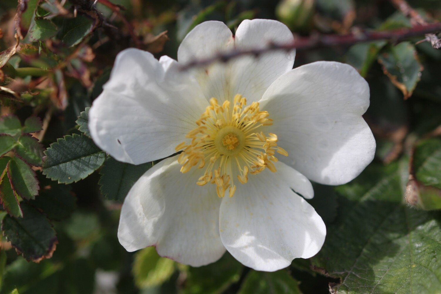
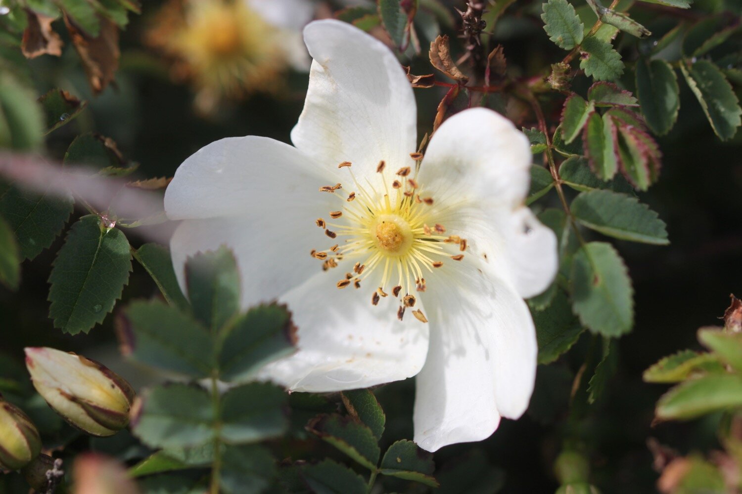
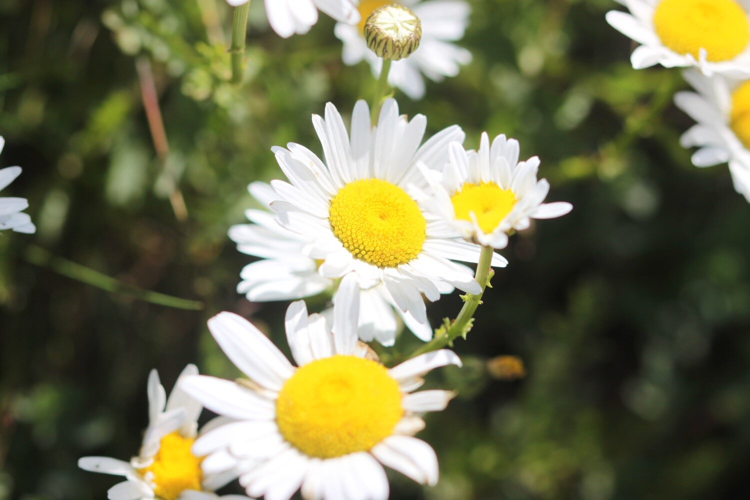
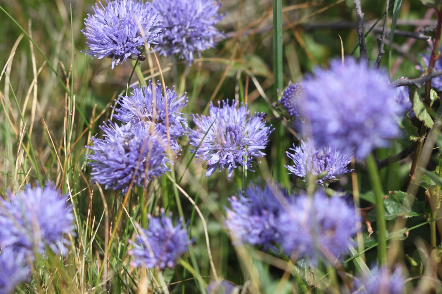
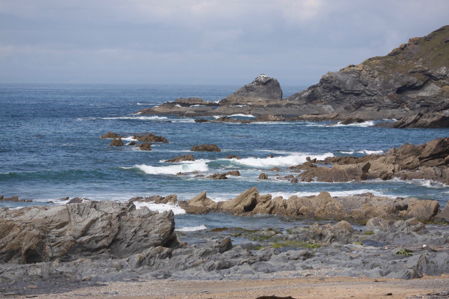
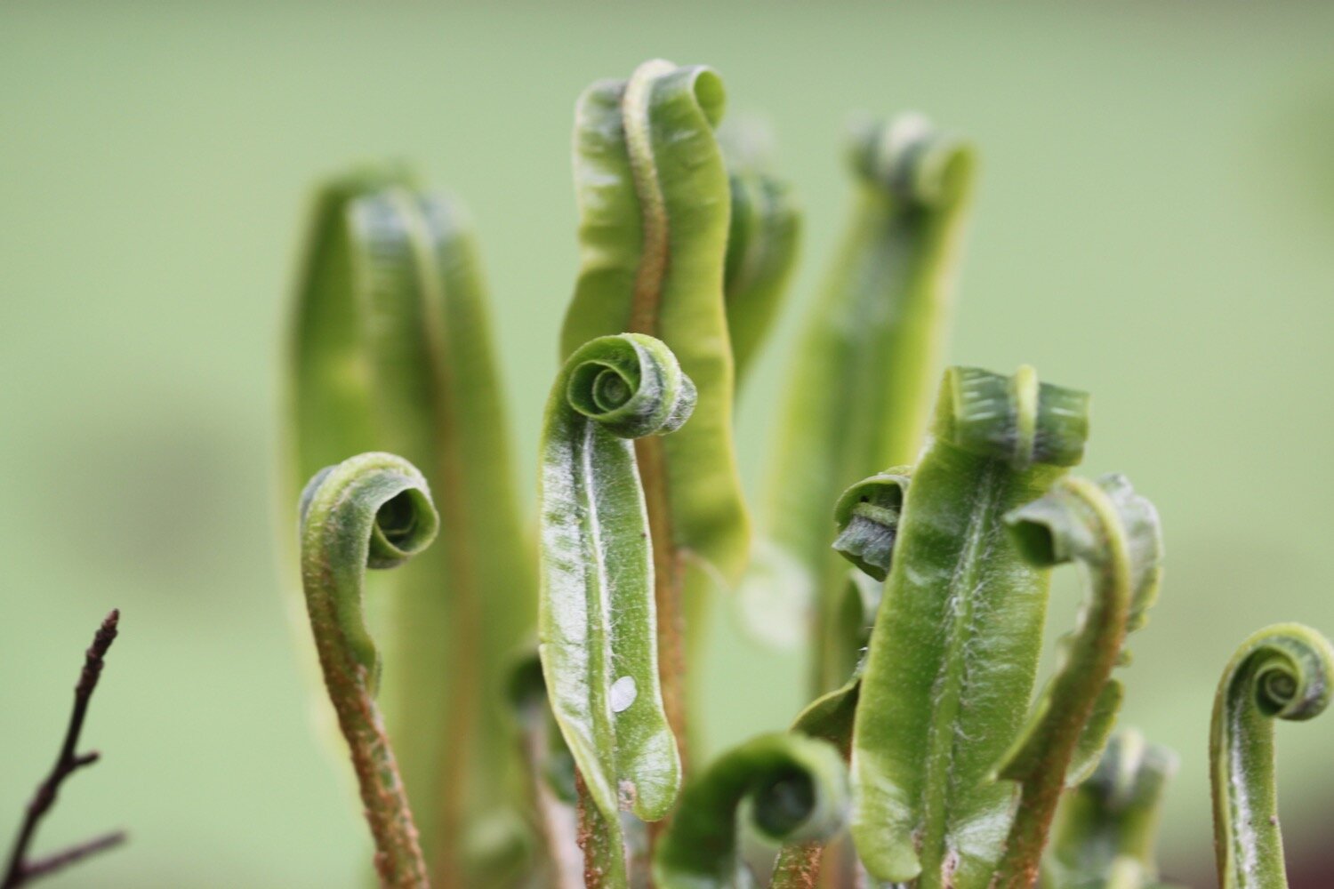
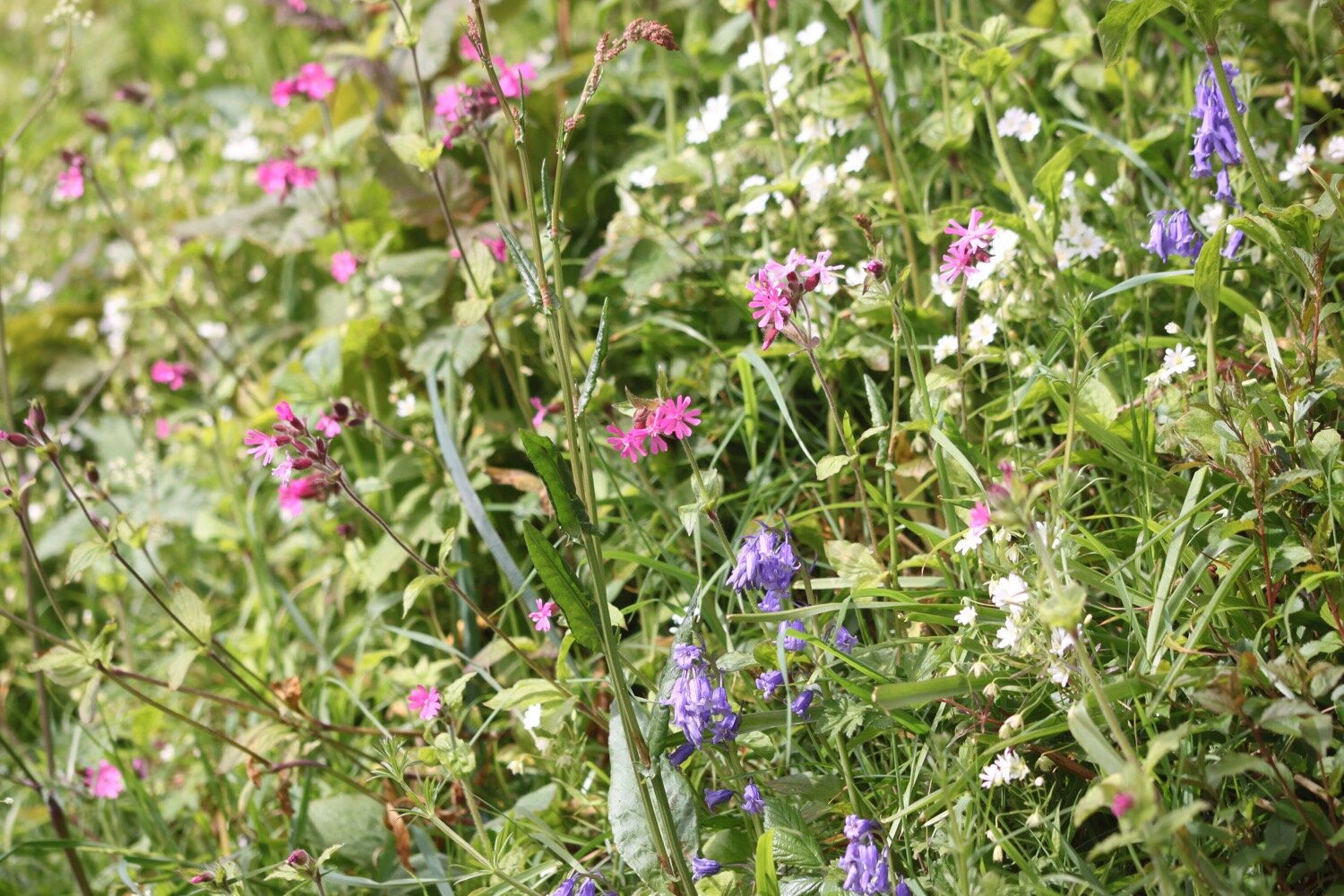
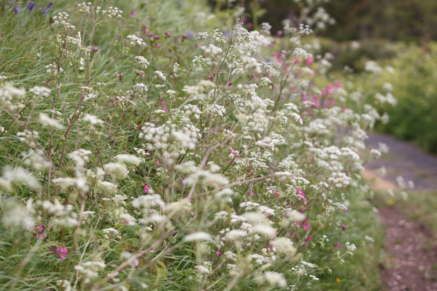
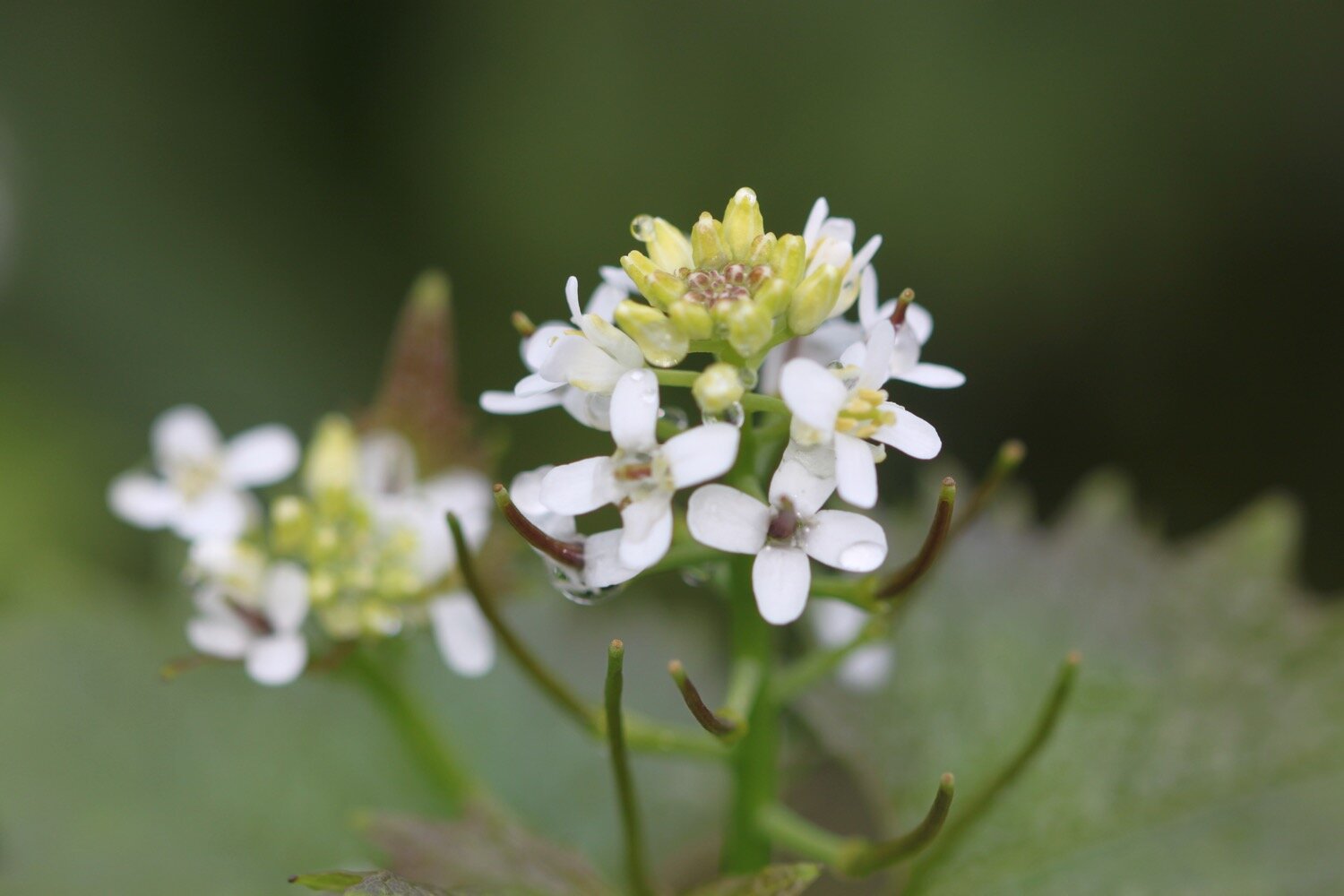
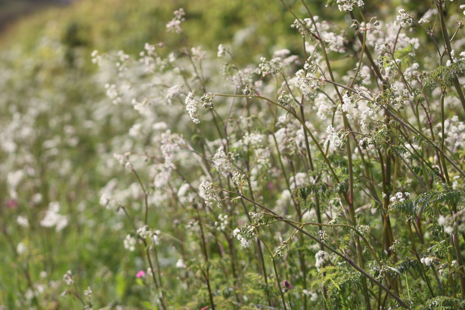
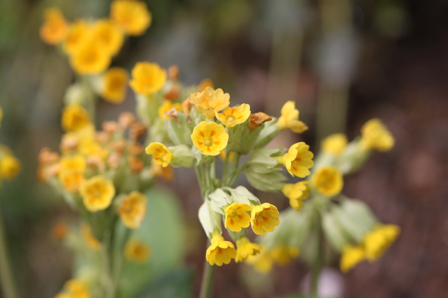
I continue along the cliffs towards Kynance Cove enjoying the magnificent views and the lovely wildflowers.
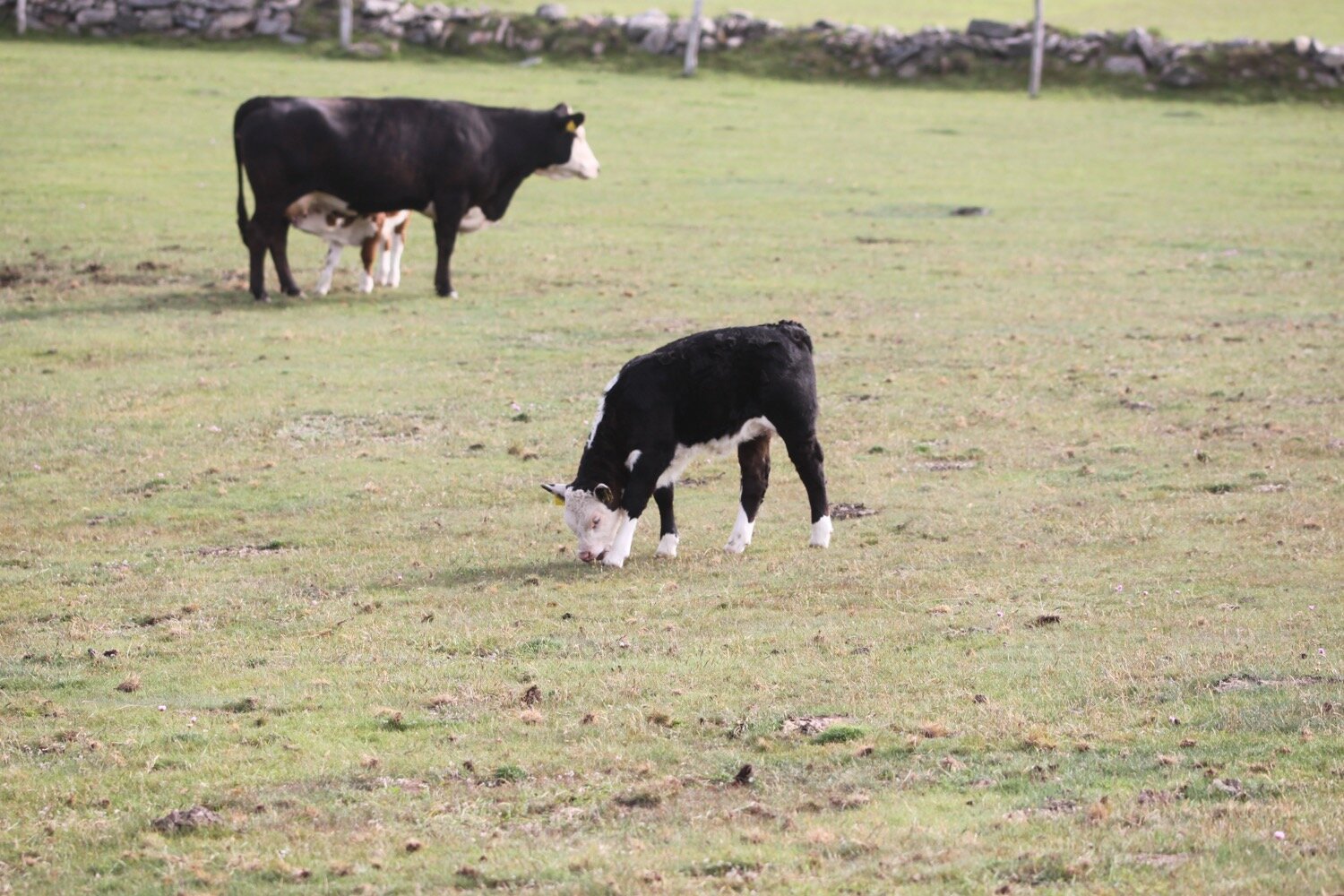
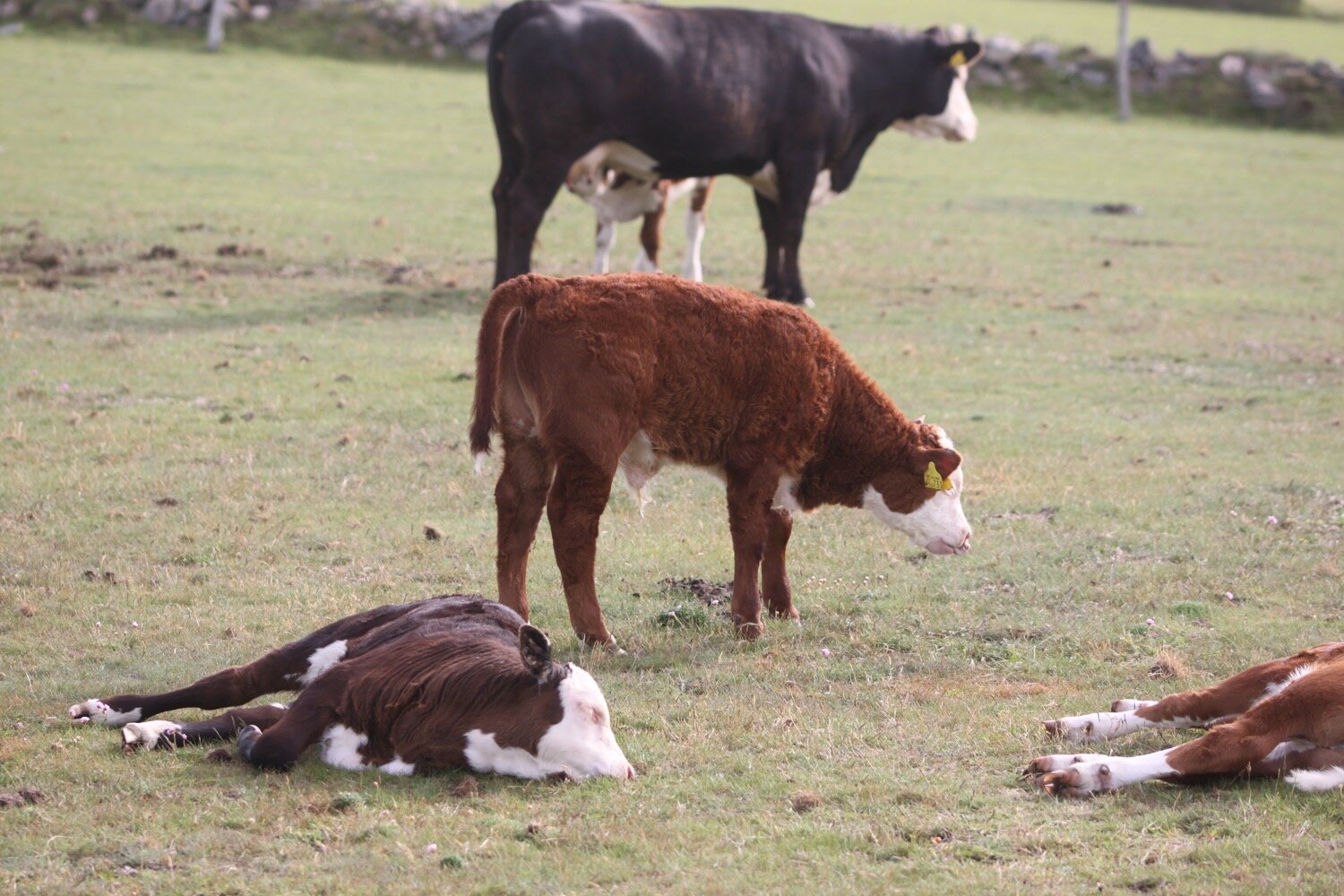
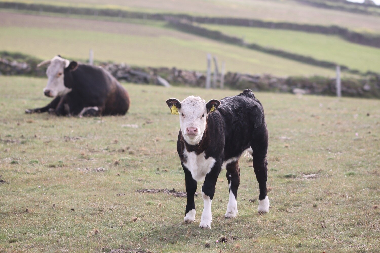
I disturb a couple more choughs and they fly off before I have a chance to whip out my camera and I then come across a herd of cows together with their calves.
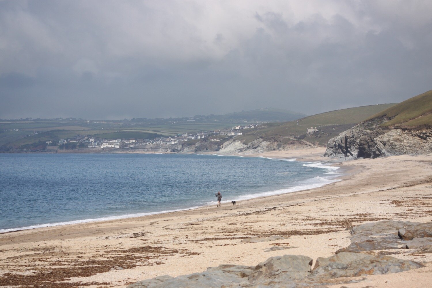
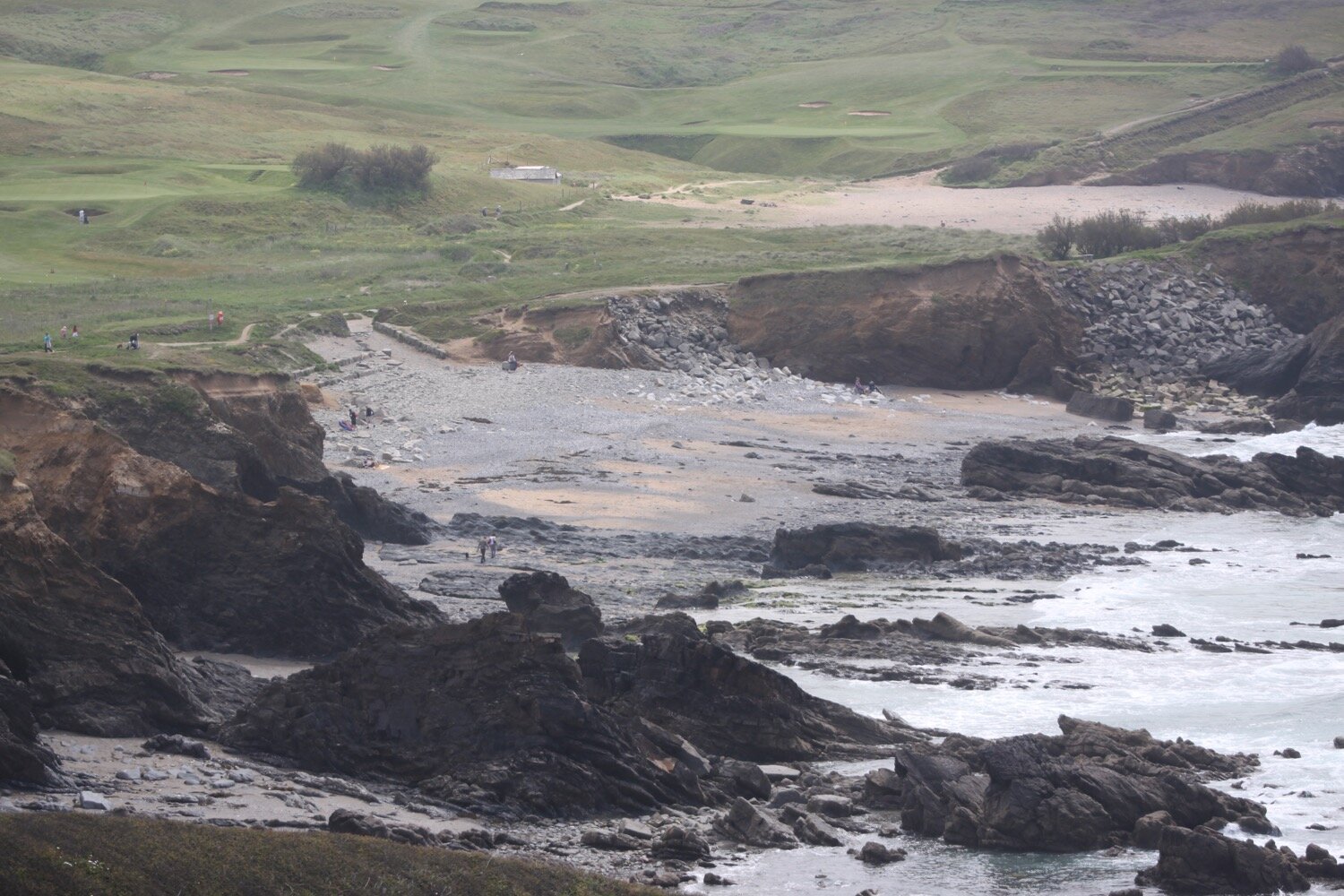
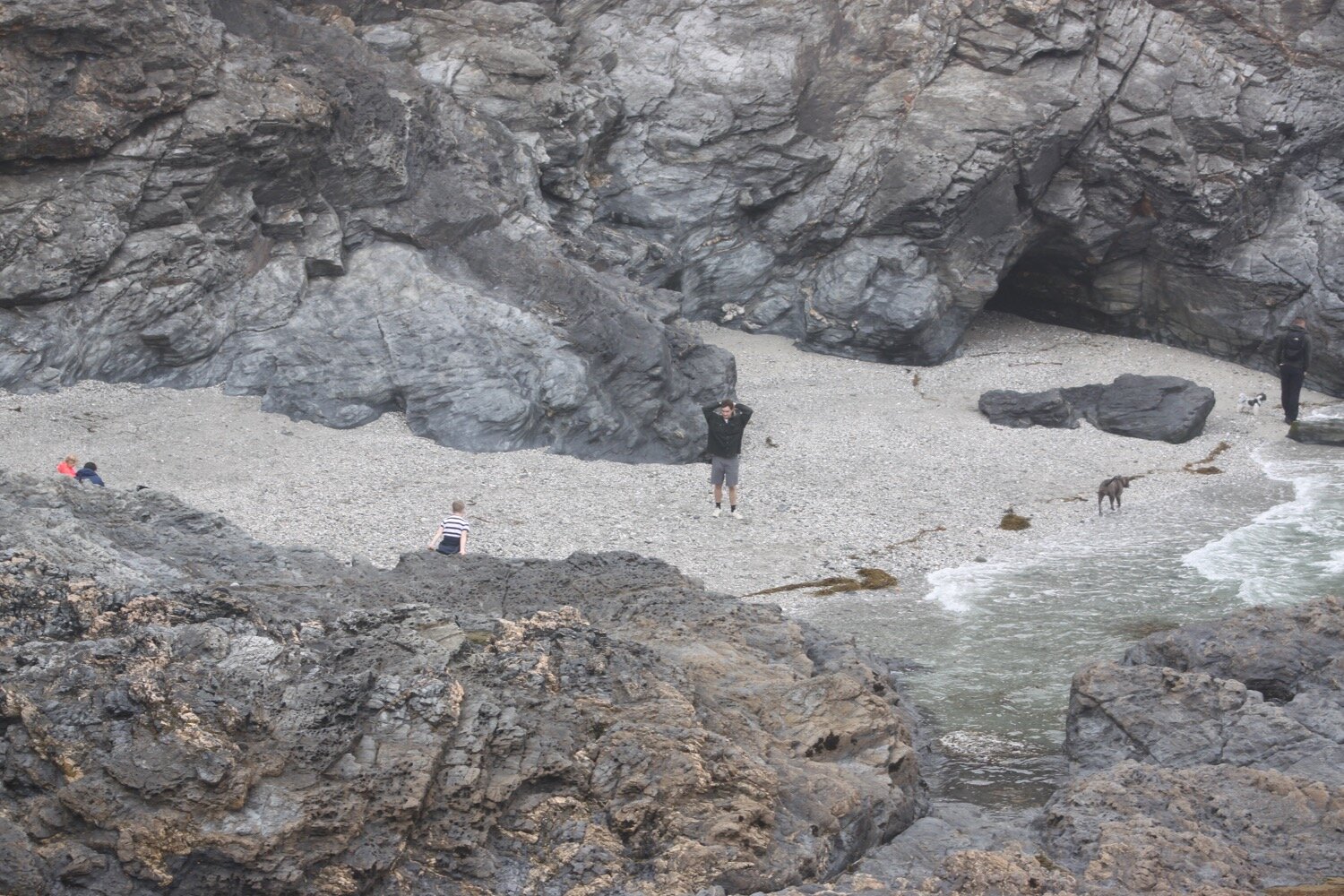
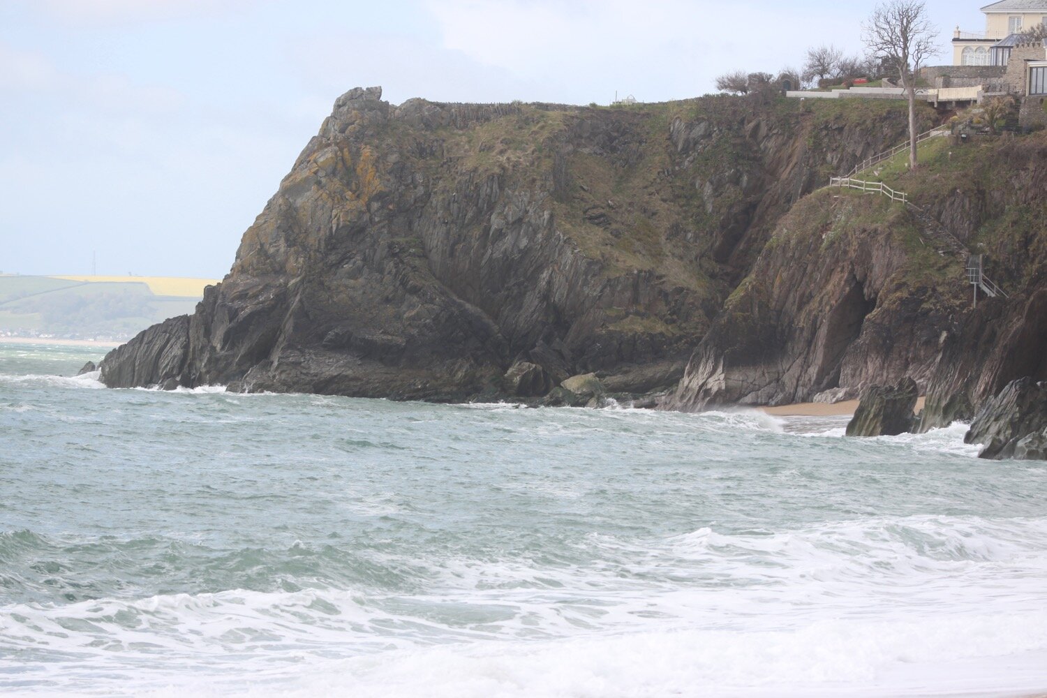
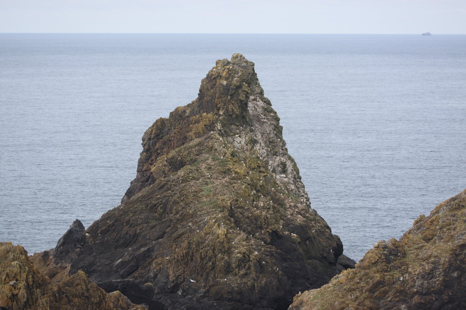
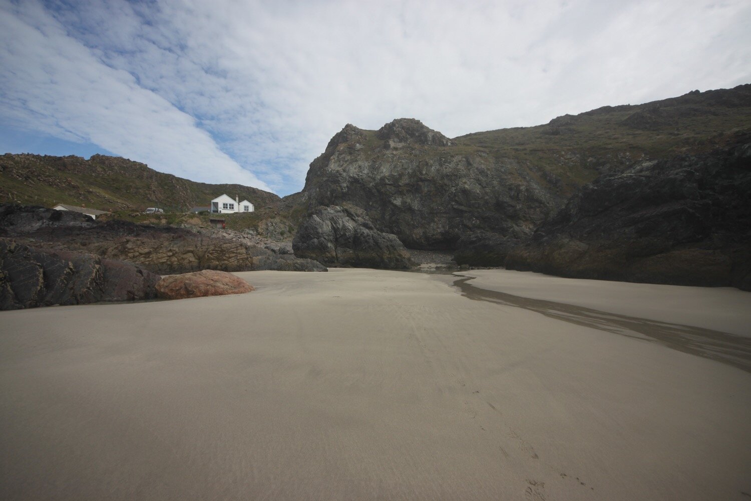
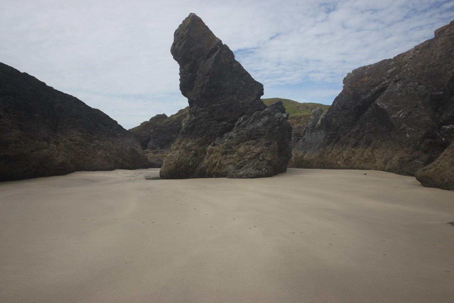
Before reaching Kynance Cove, Pentreath Beach can be found which is a little difficult to reach, involving scrambling down what appears to be little more than a goat track. It definitely looks worth the diversion but it's too adventurous for me with my heavy backpack.
pentreath beach
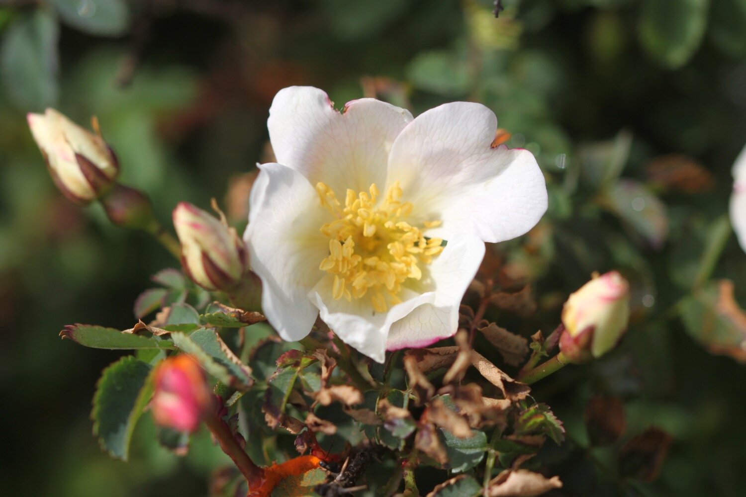
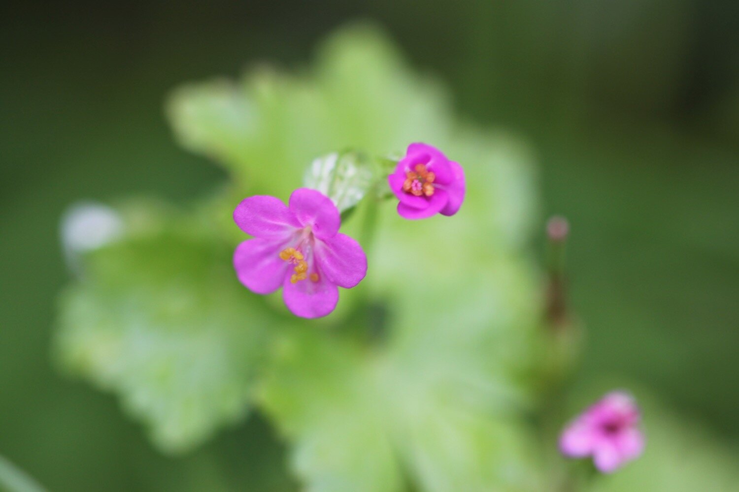
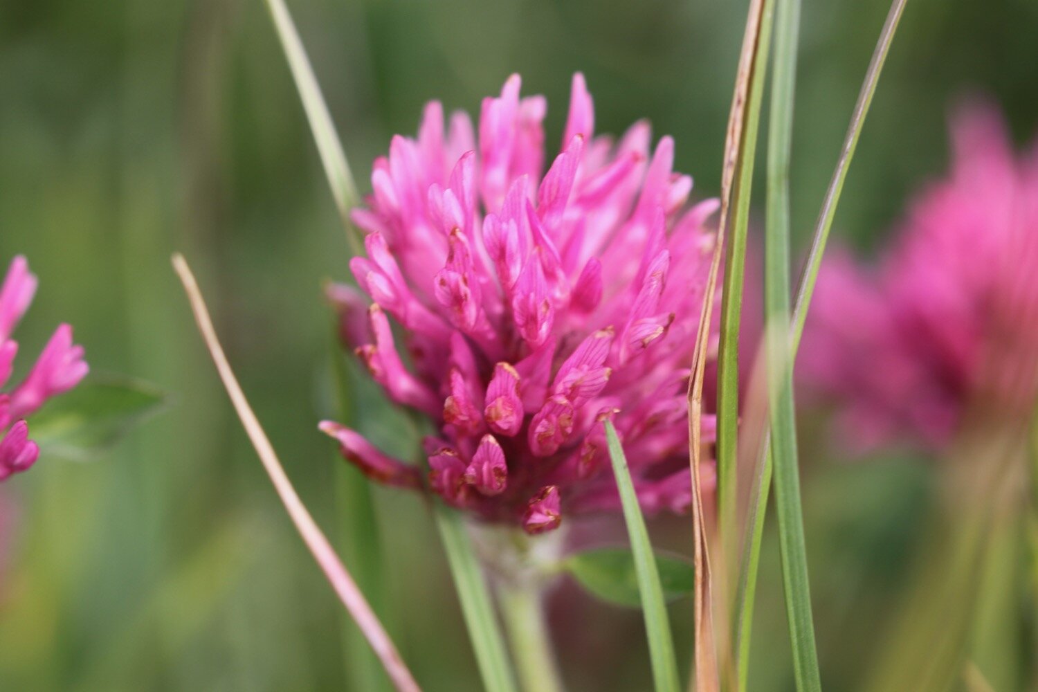
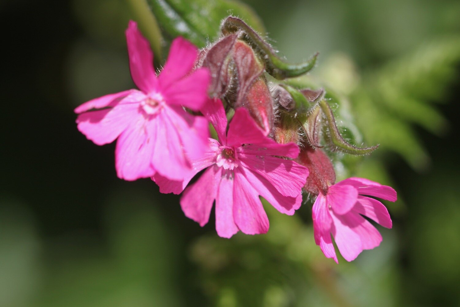
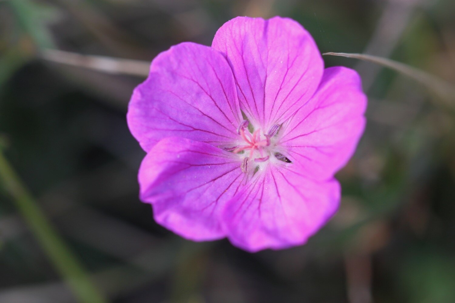
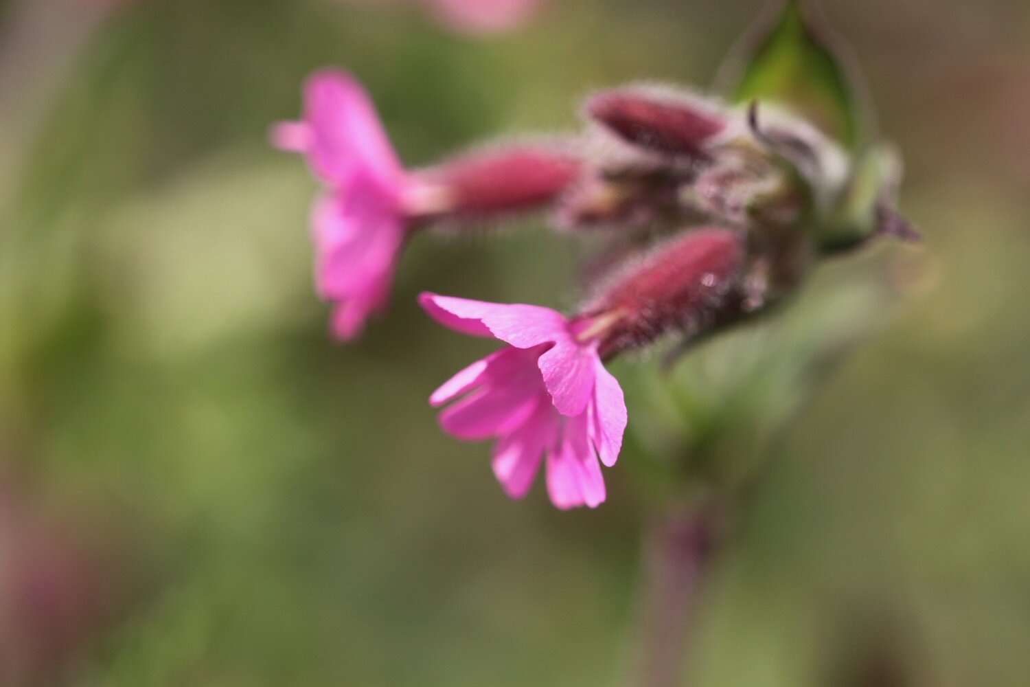
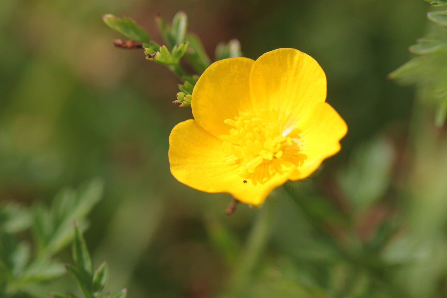
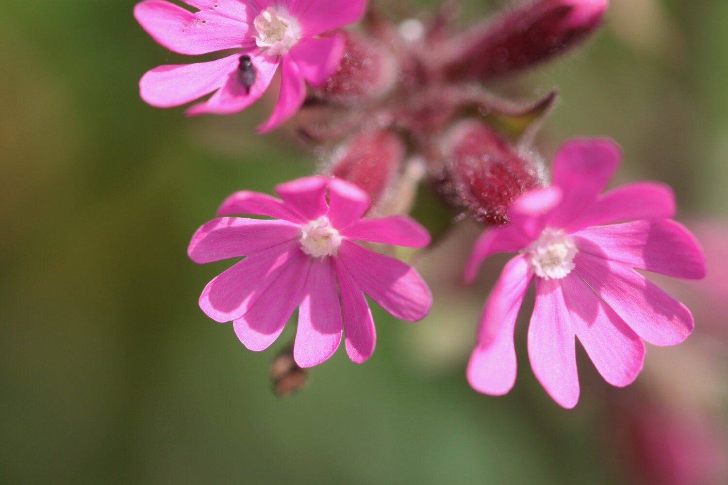
I amble along to reach Kynance Cove where I come across some of the native bloody cranesbills.
bloody cranesbill
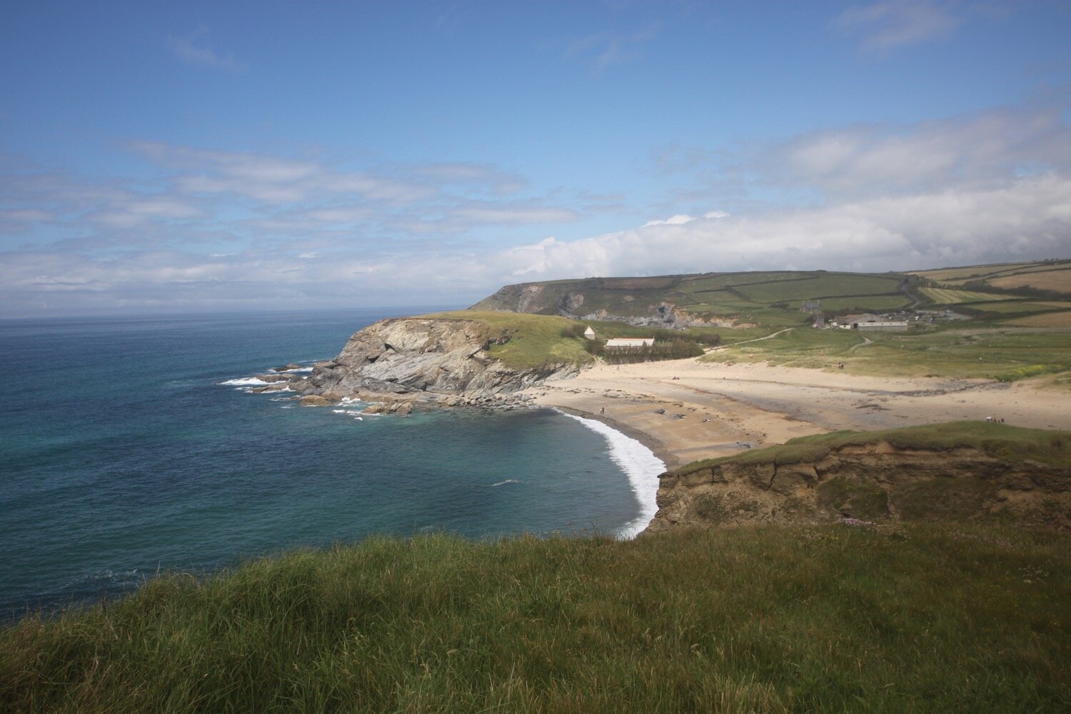
The car park is looking quite busy even though it is still very early but there aren’t many people about so I descend steeply down to the cove.
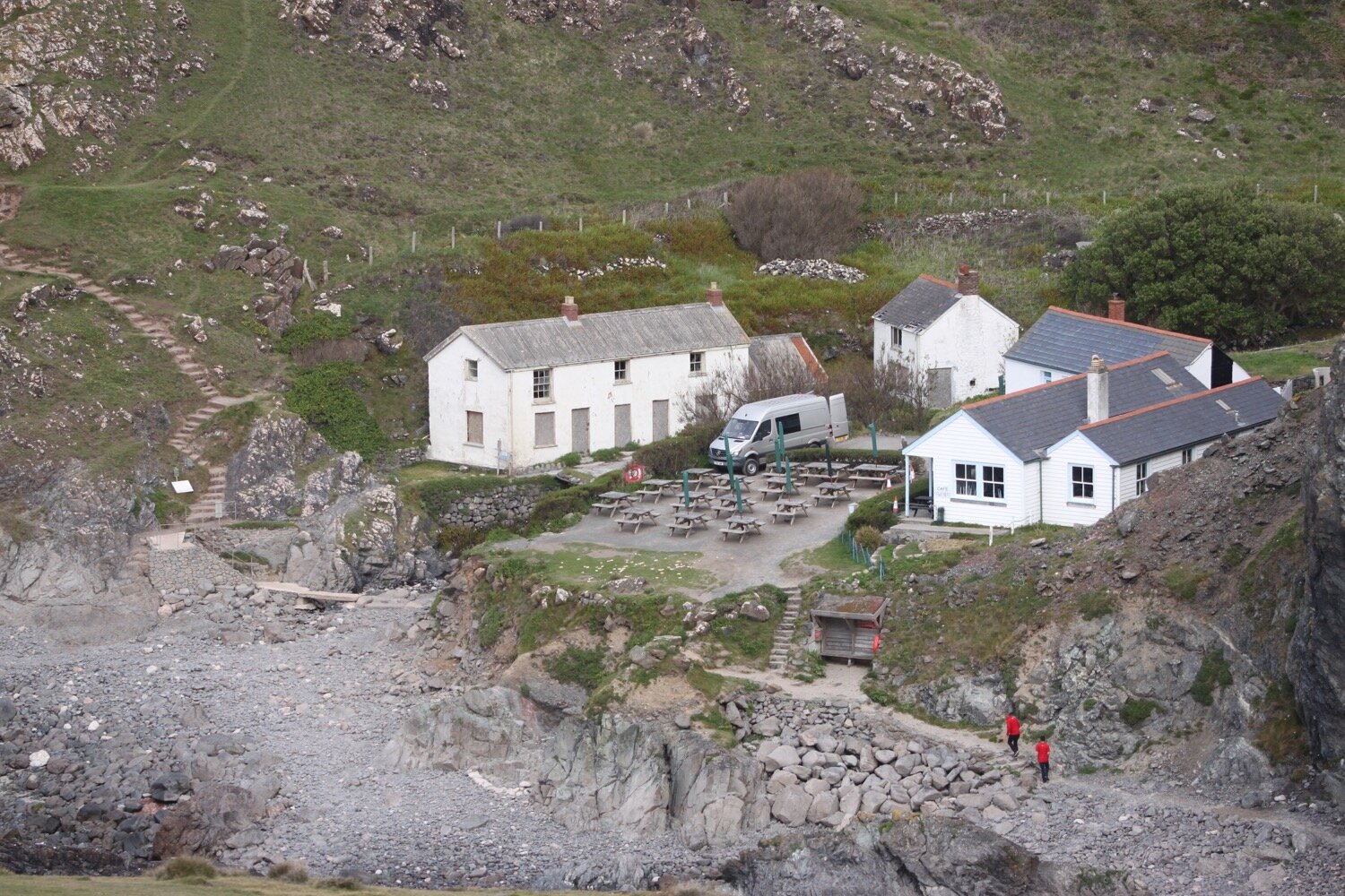
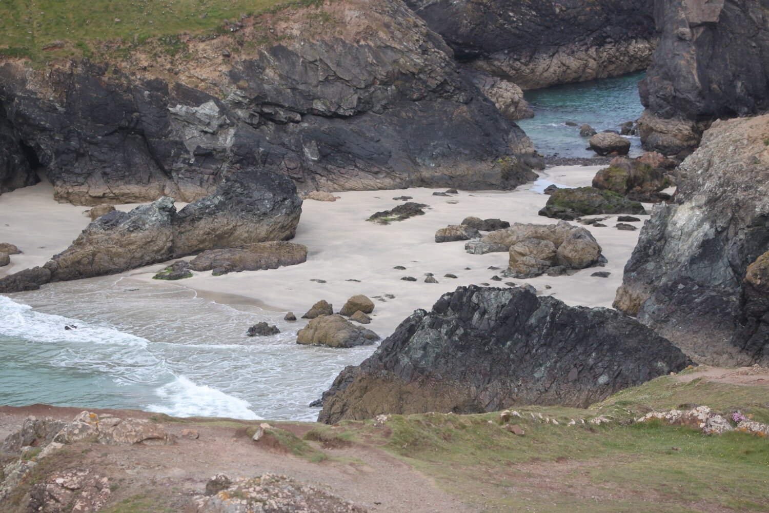
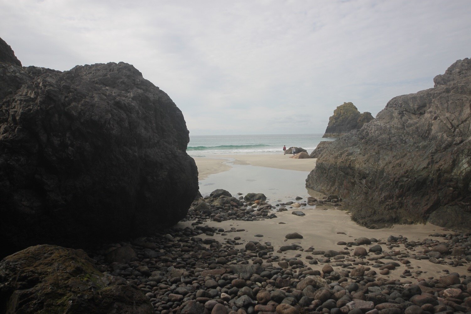
For a change I’ve got quite a bit of beach so I waste quite a bit of time here. There are only a couple of people here. I strap back on my bag and climb back out of the cove, passing the Kynance Cove Cafe on the way up.
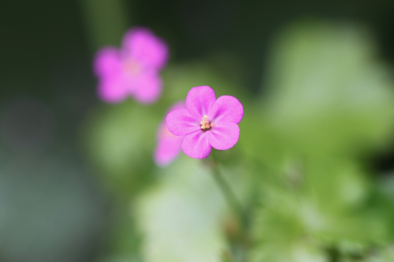
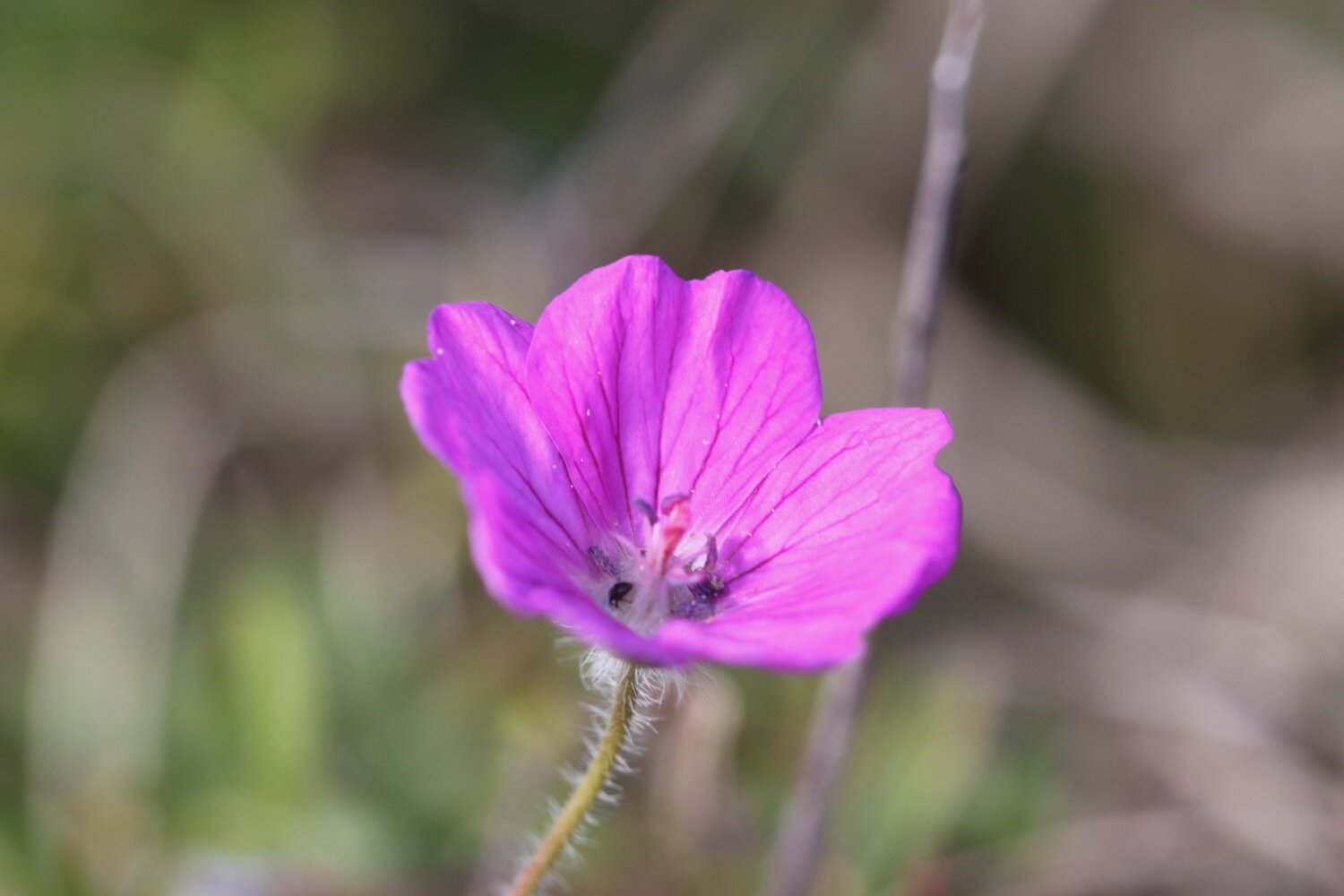
As I climb out of Kynance Cove I pass more of the native bloody cranesbills. The views back overlooking Kynance Cove are magnificent.
view over kynance cove
view over kynance cove
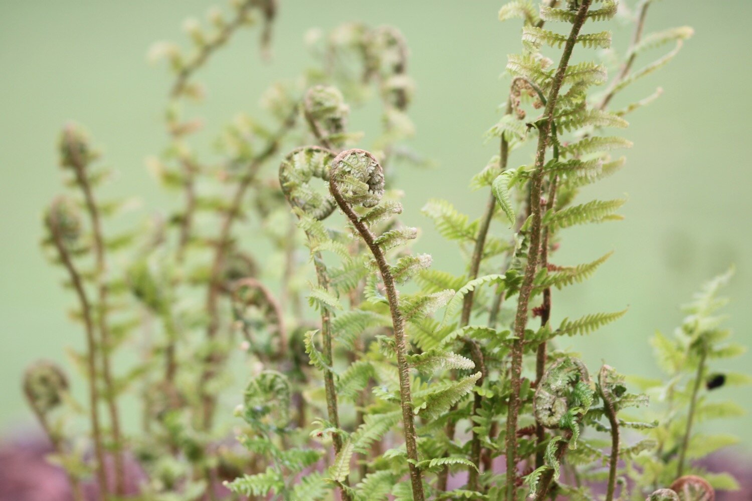
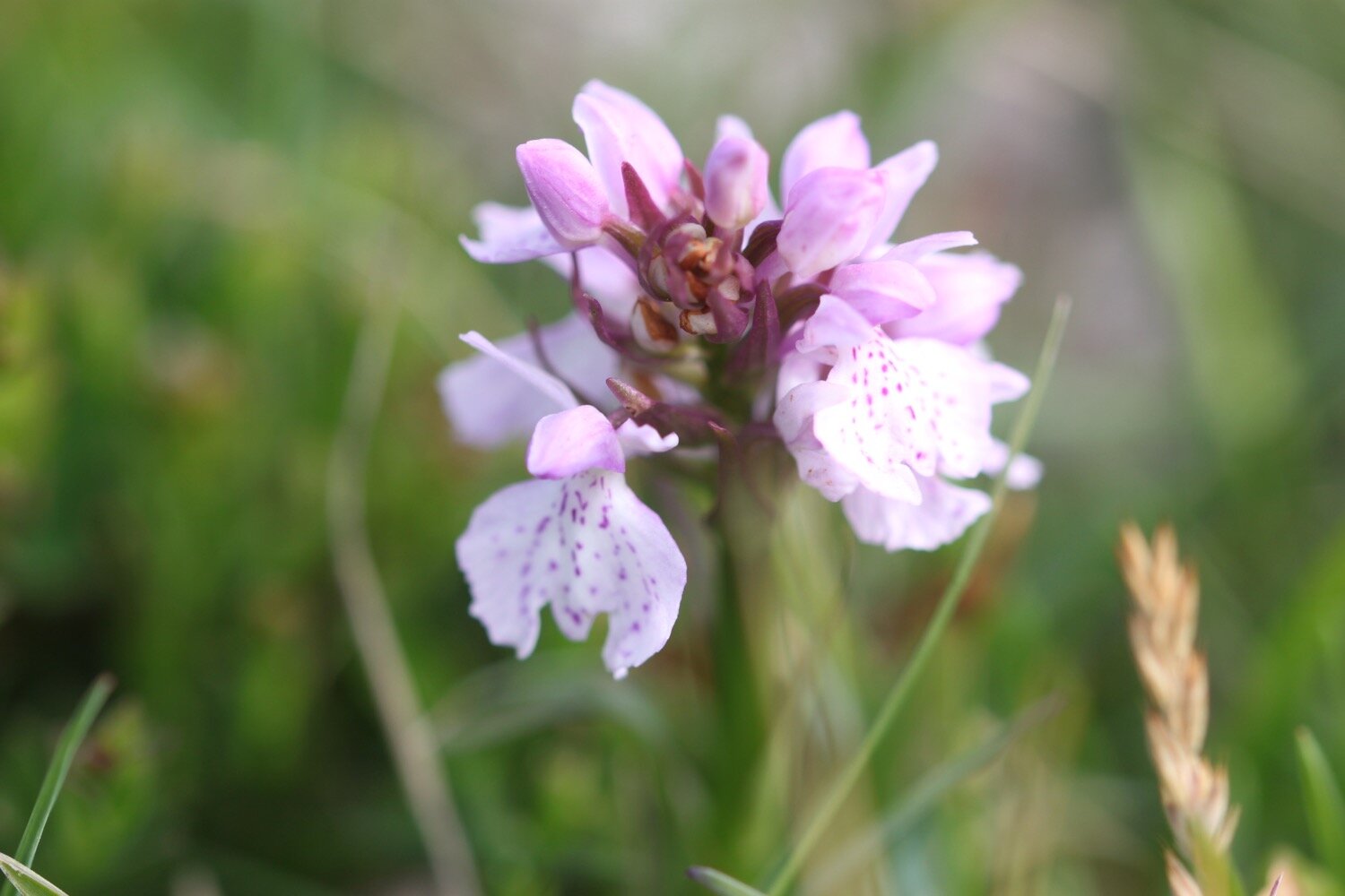
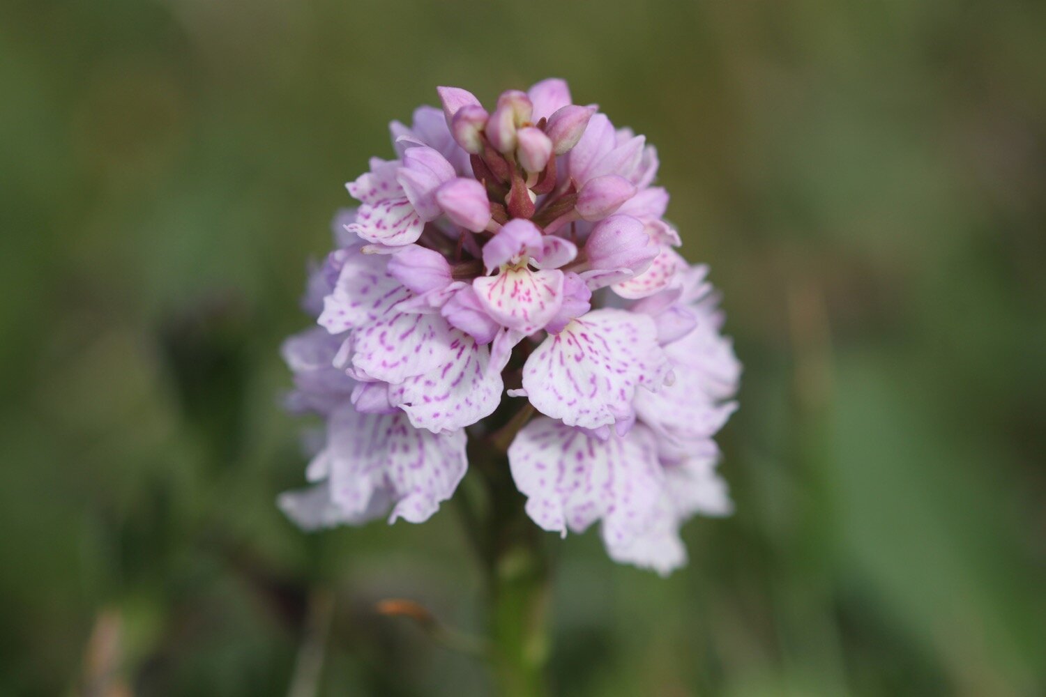
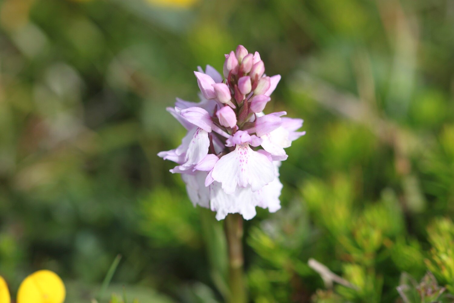
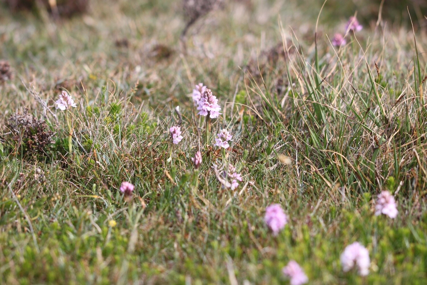
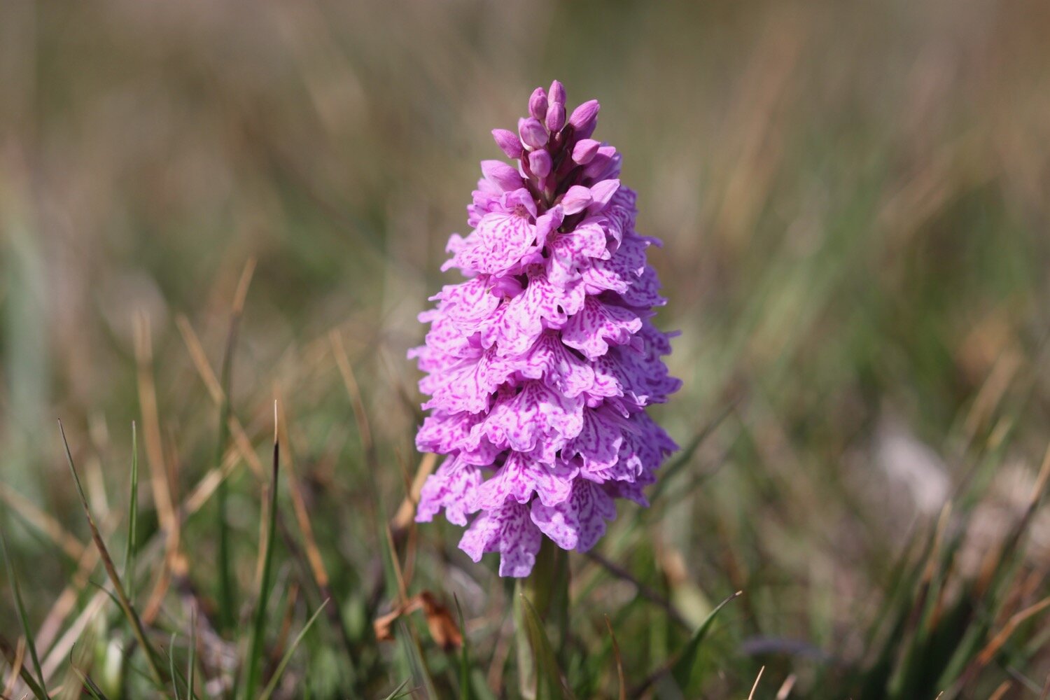
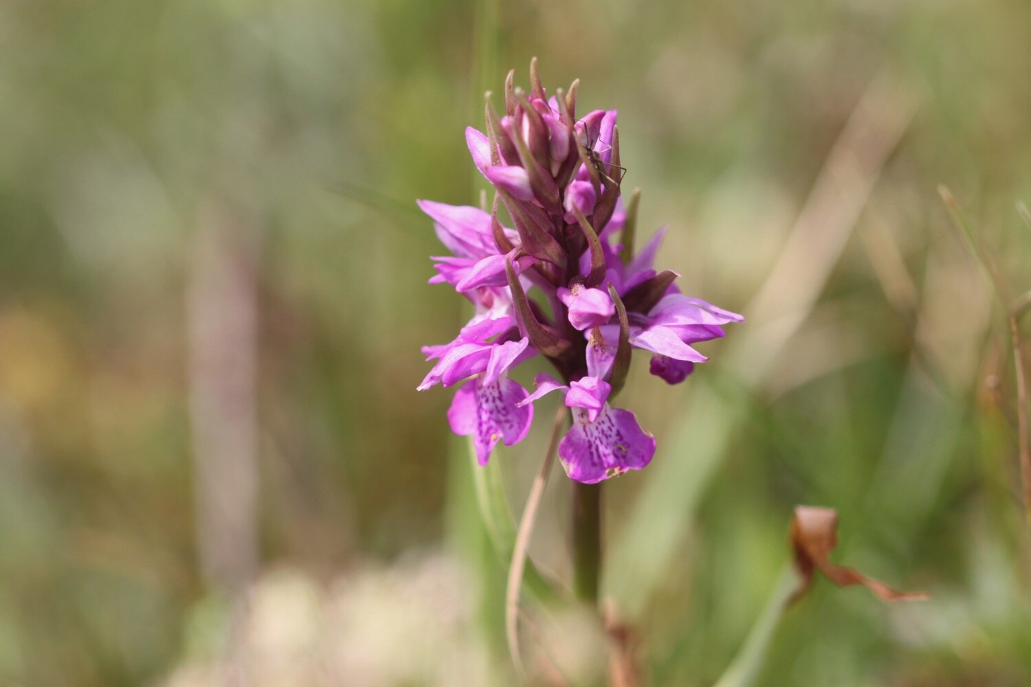
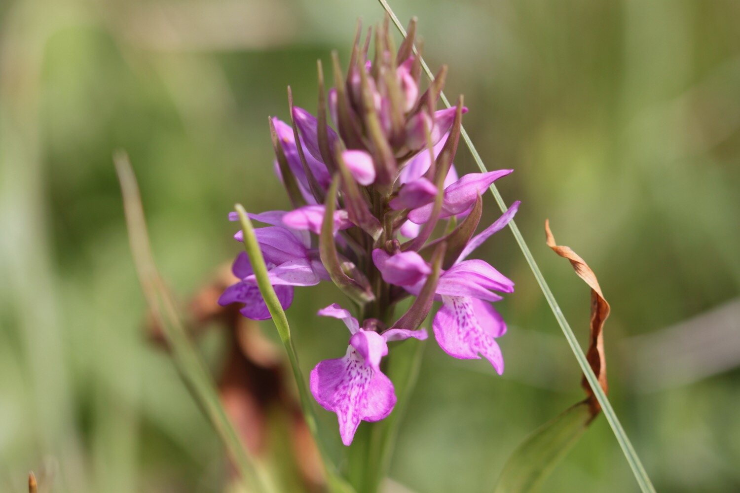
After ambling for far too long I head off along the Lizard cliffs where I encounter the first orchids of the day, including loads of heath spotted orchids so I waste more time, taking photographs.
An old schoolfriend of mine took her own life eight years ago yesterday. I last spoke to her the day before she died on the phone at this exact spot.
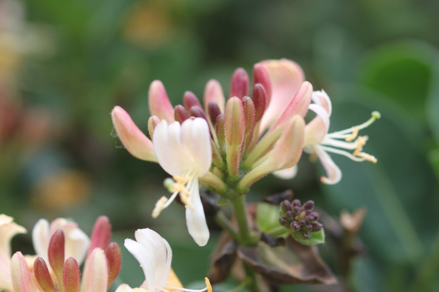
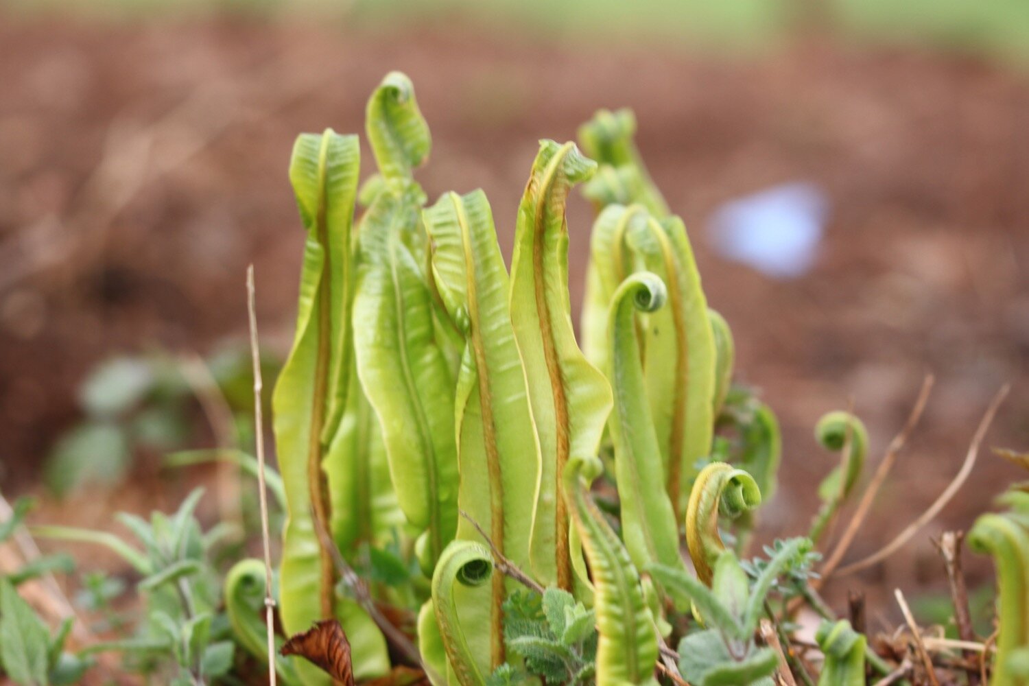
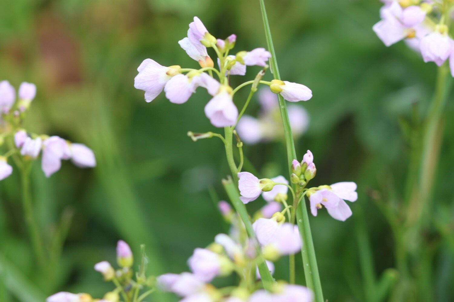
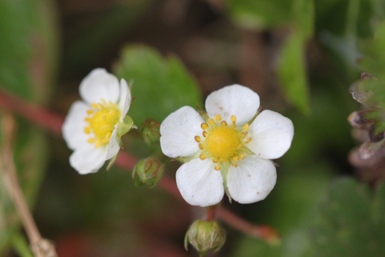
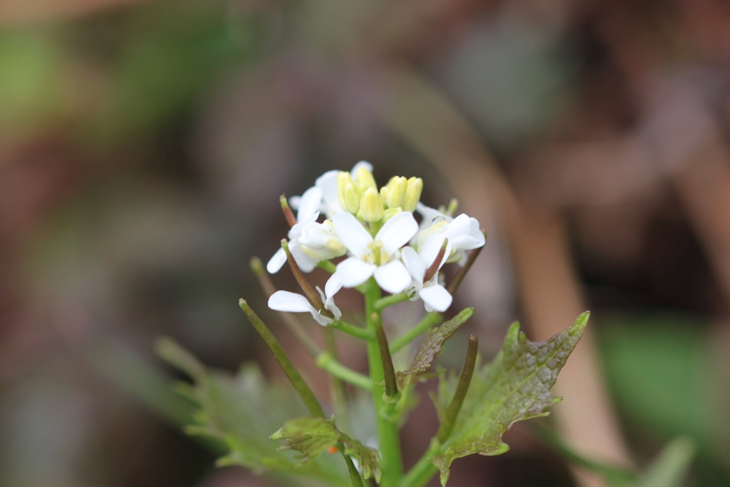
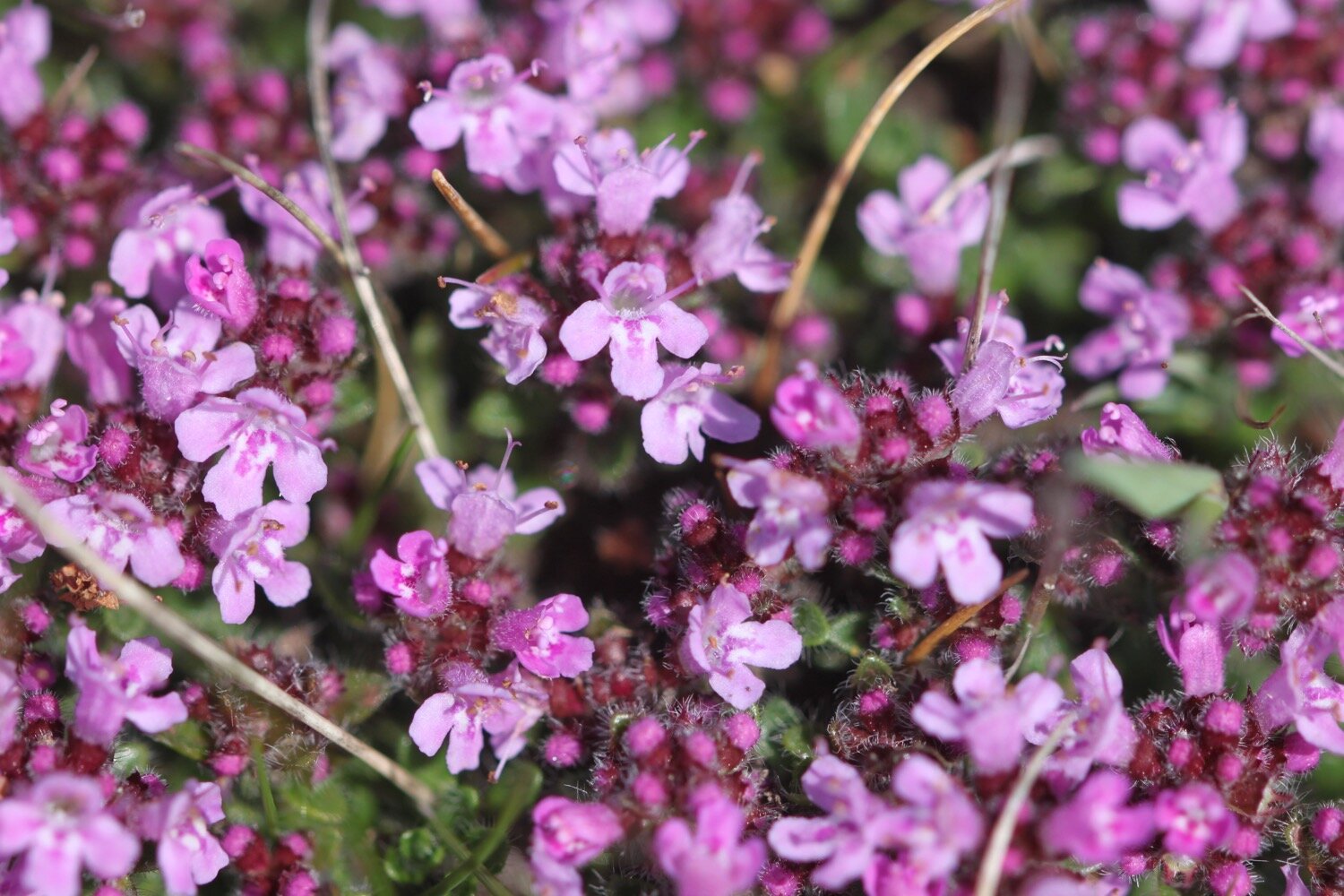
I amble along the top of the cliffs, enjoying the wildflowers.
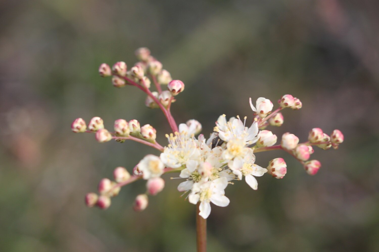

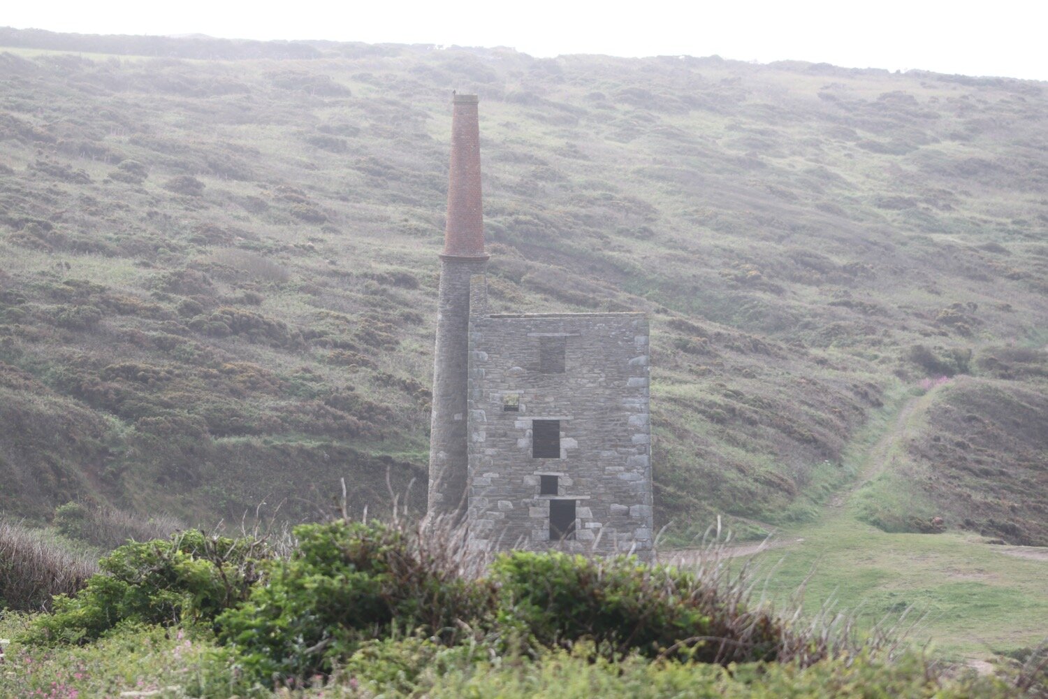
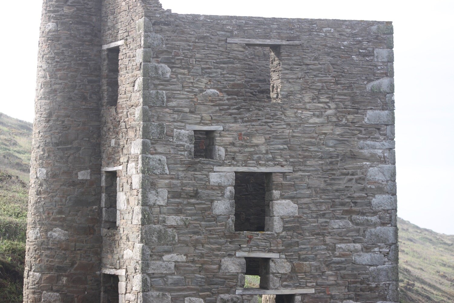
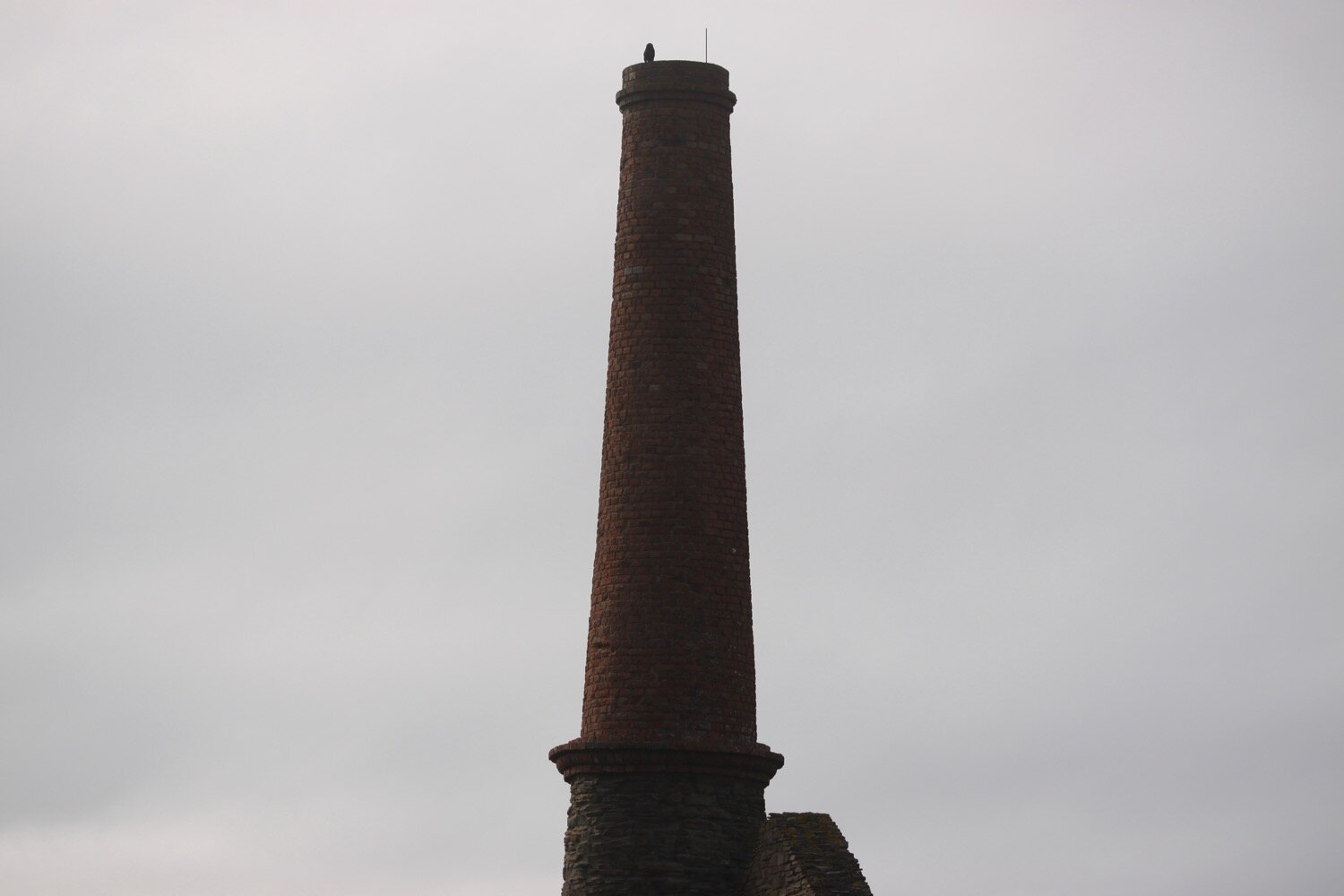
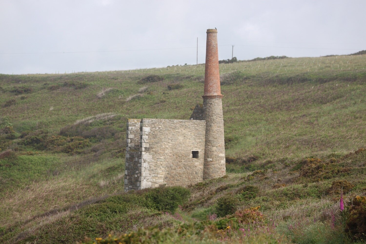
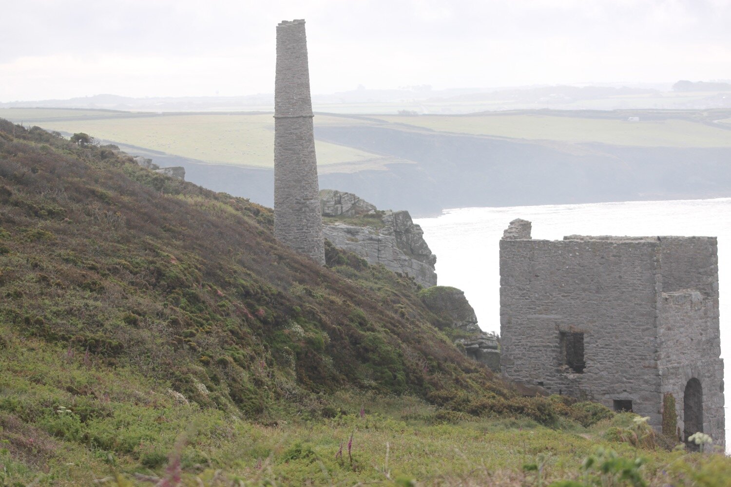
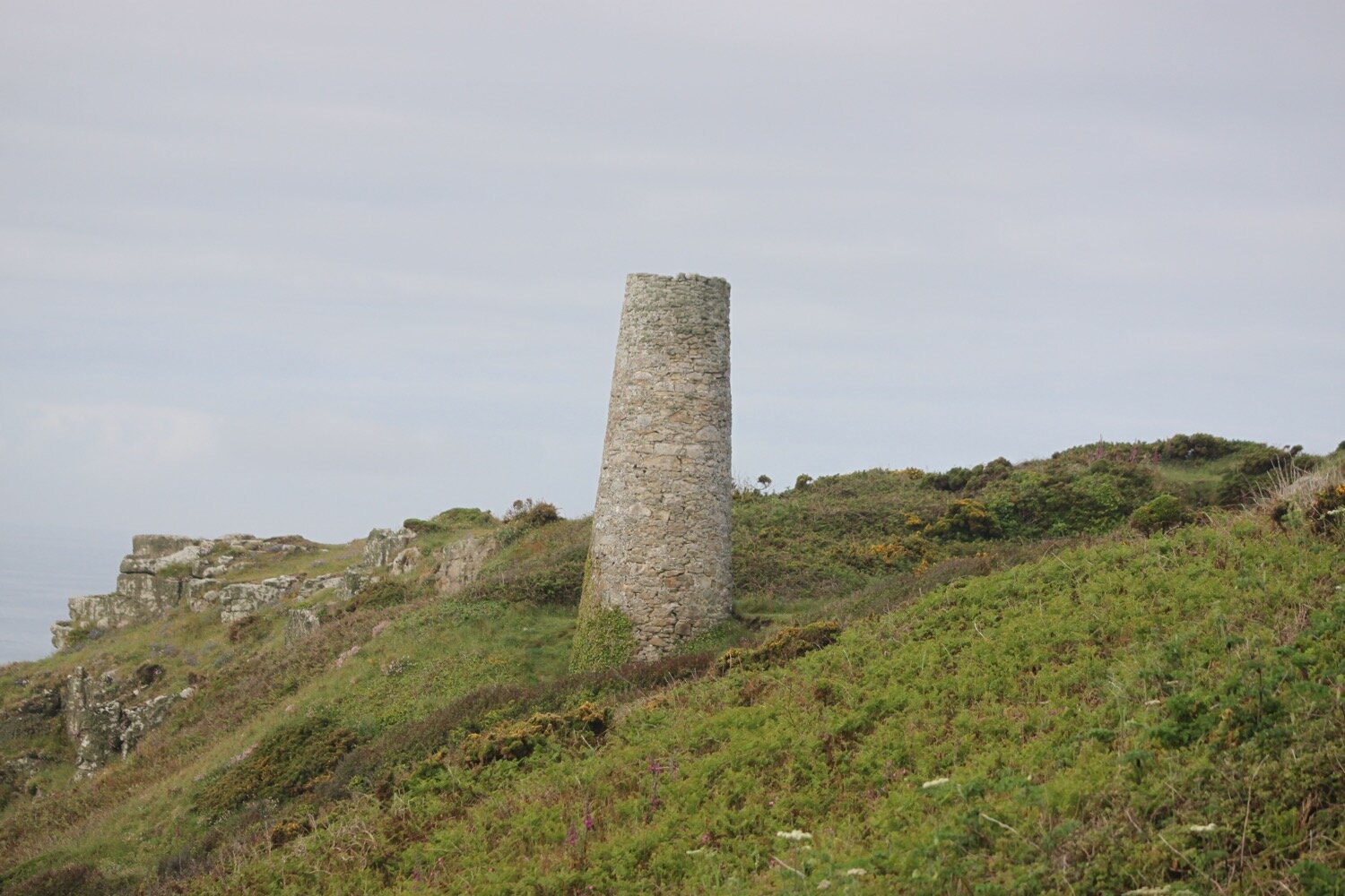
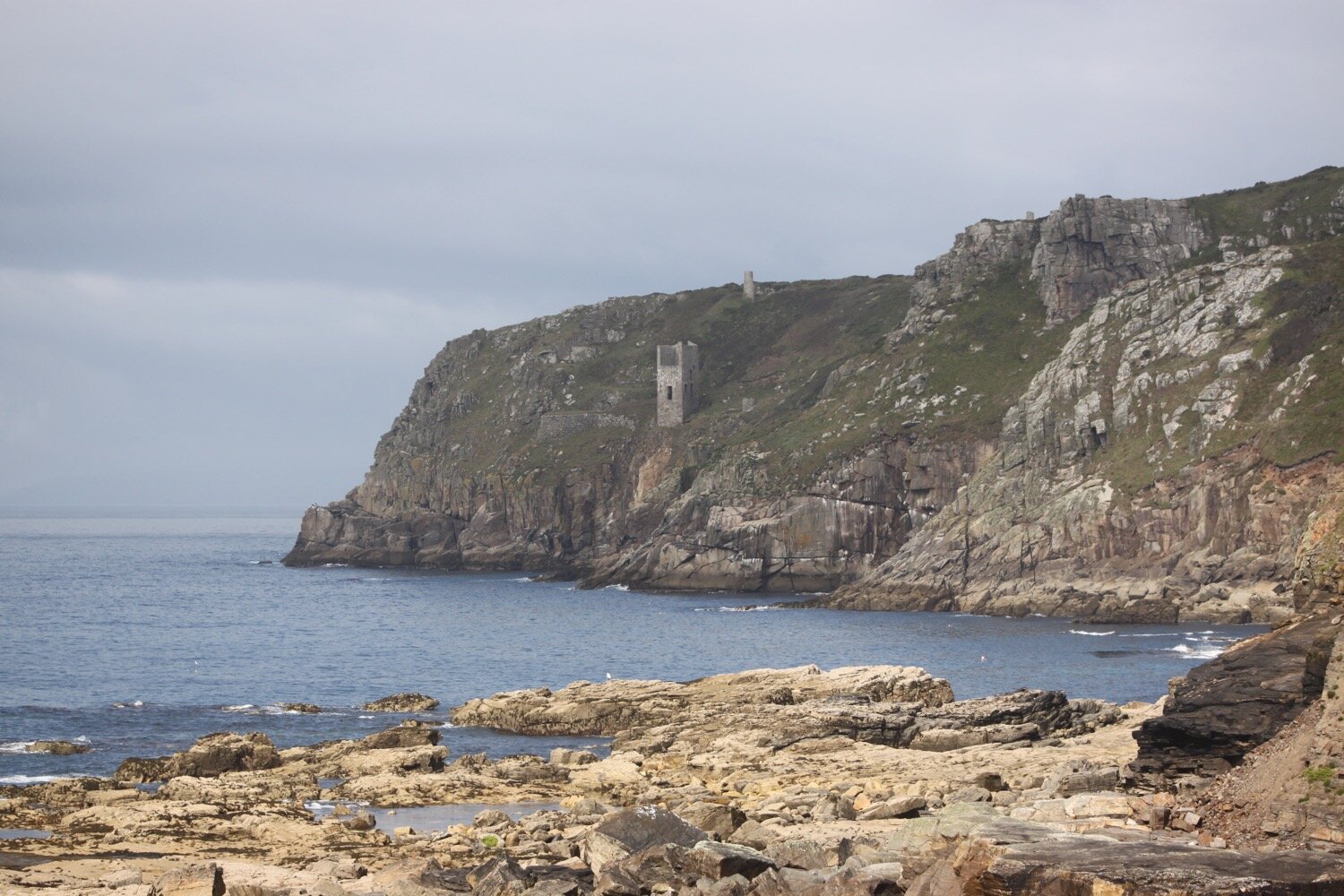
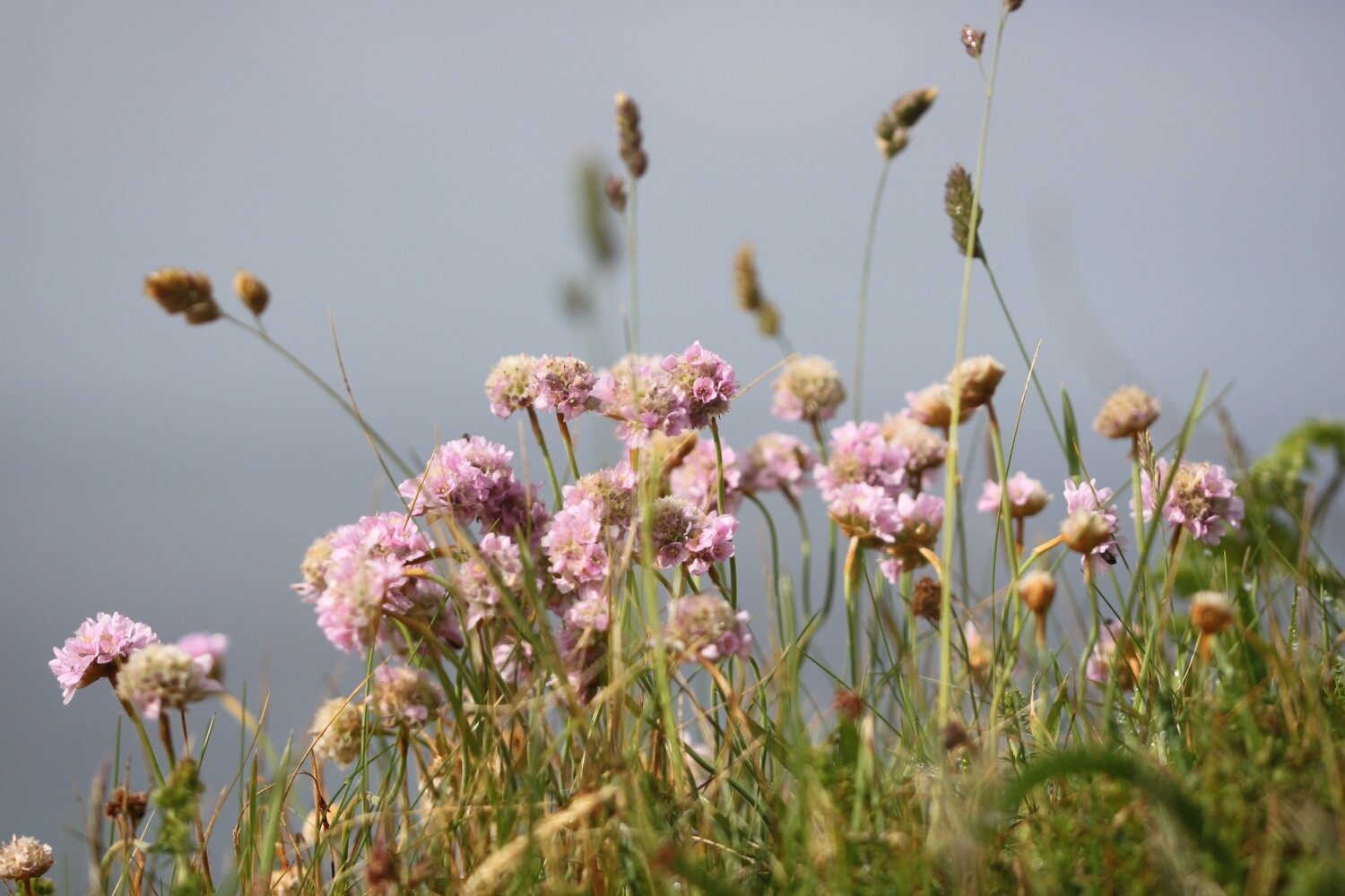
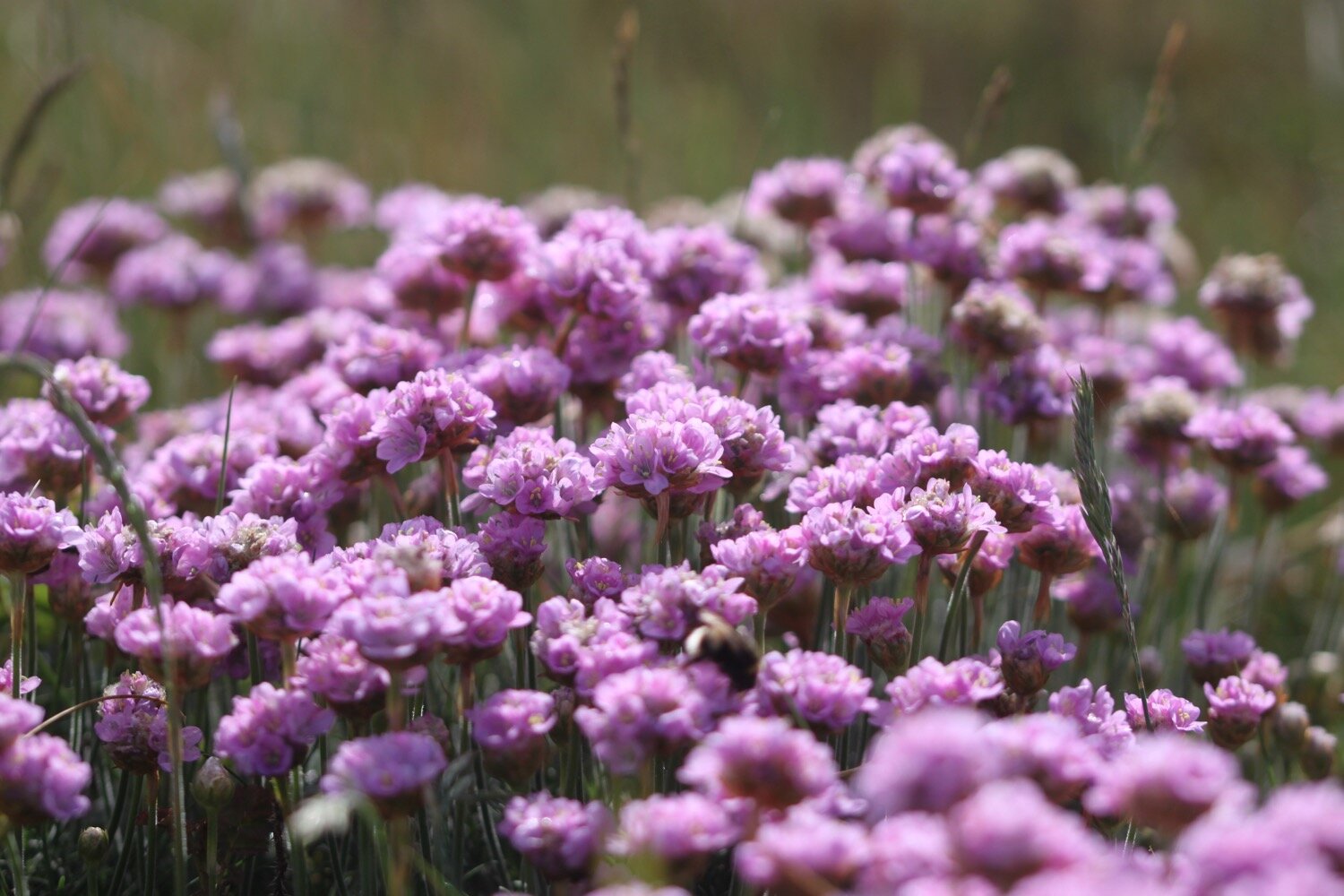
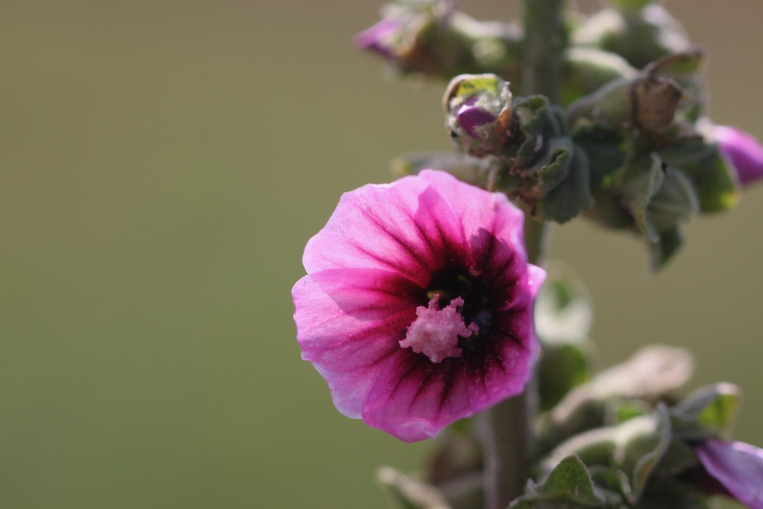
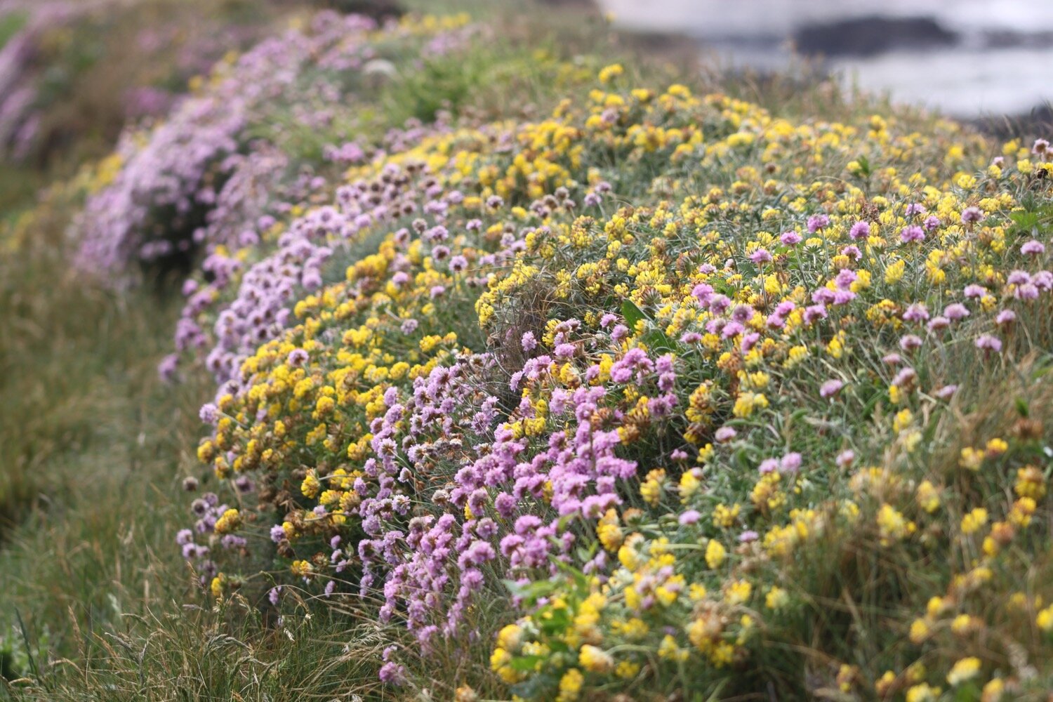
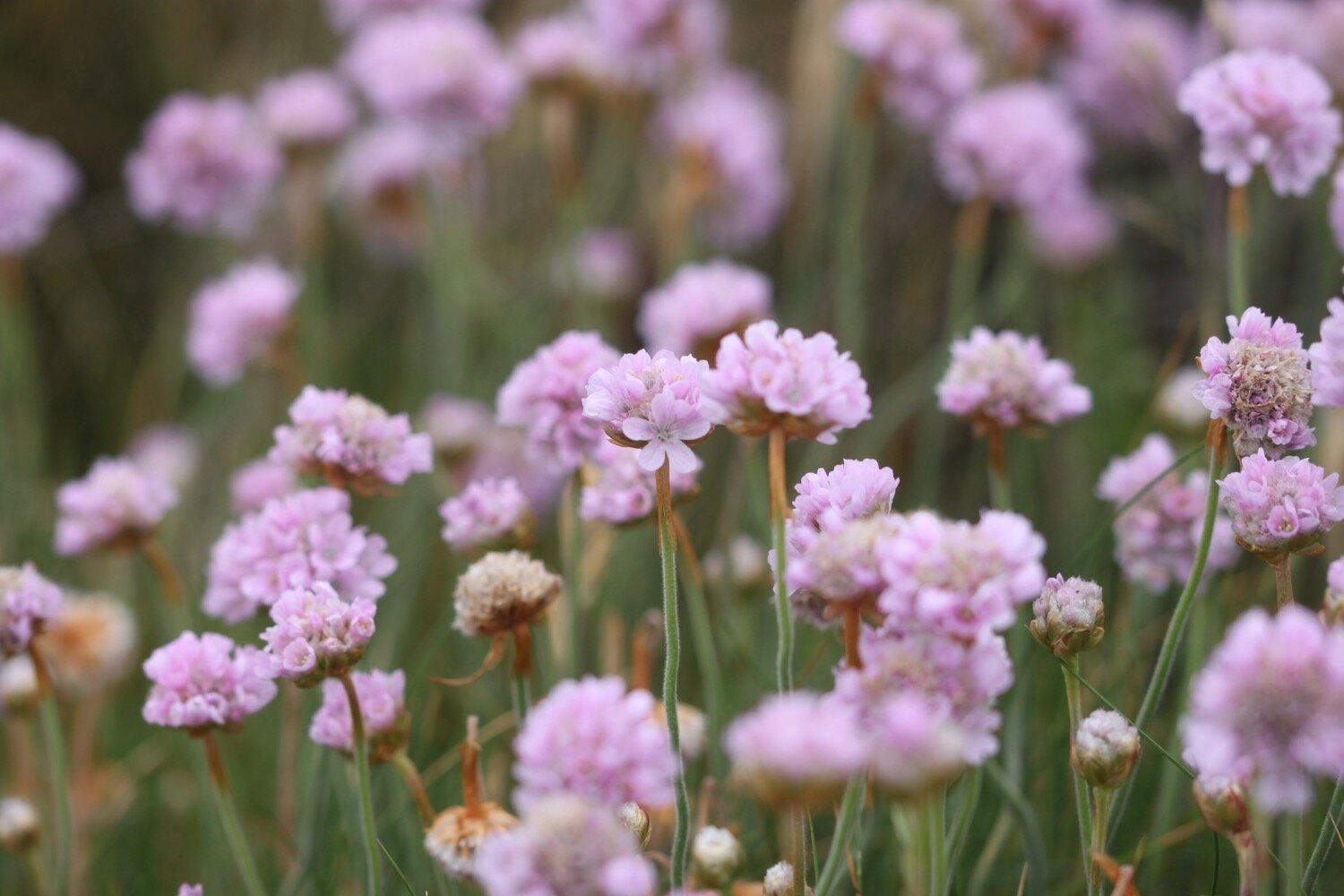
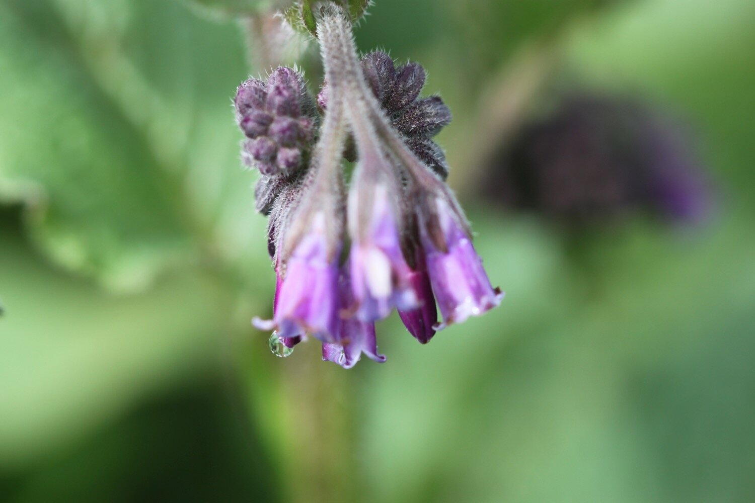
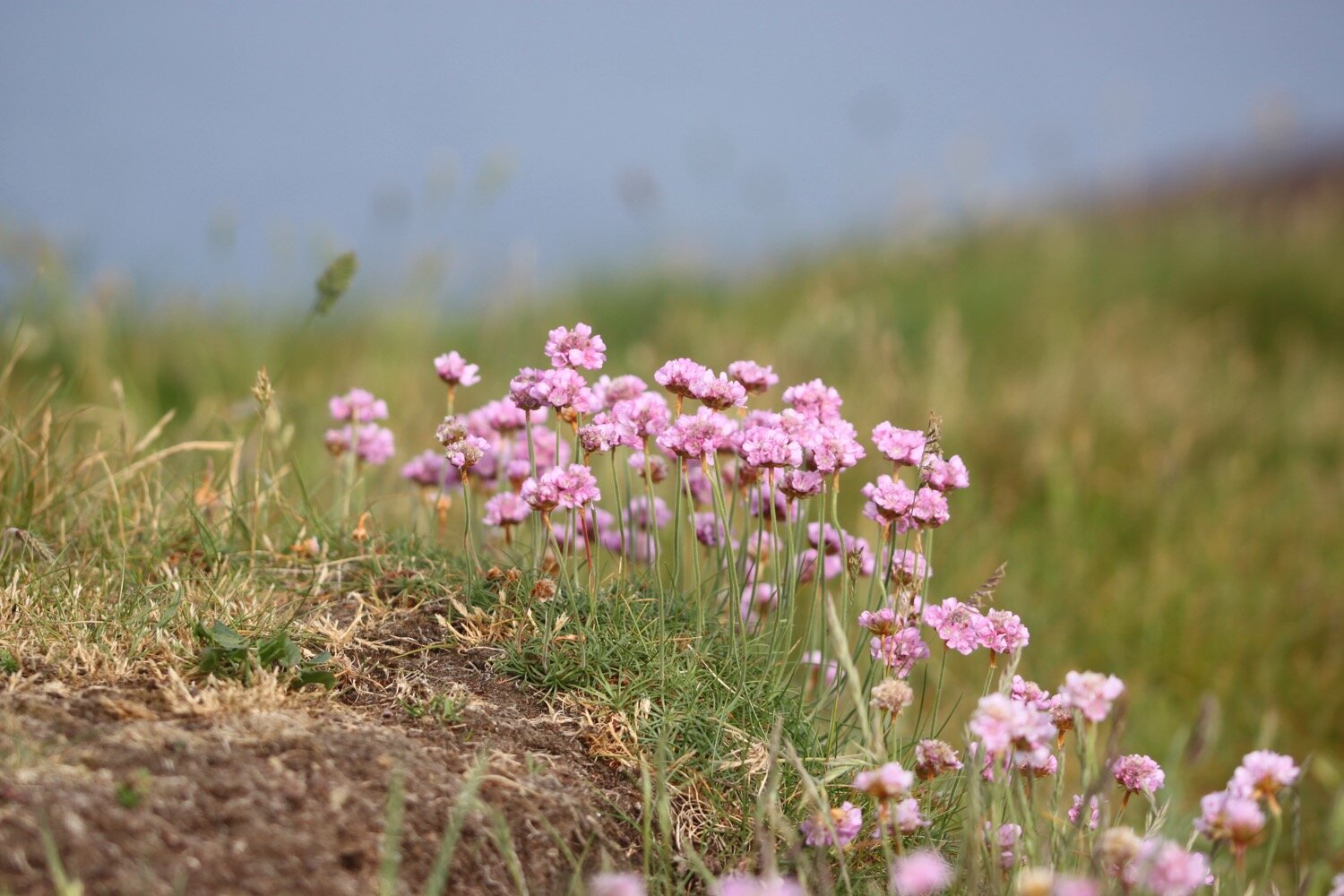
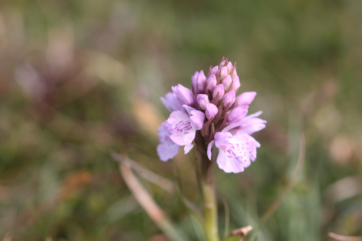
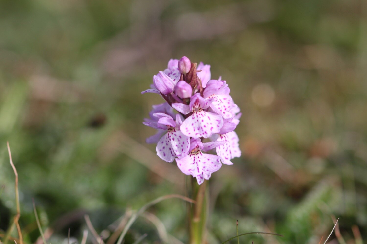
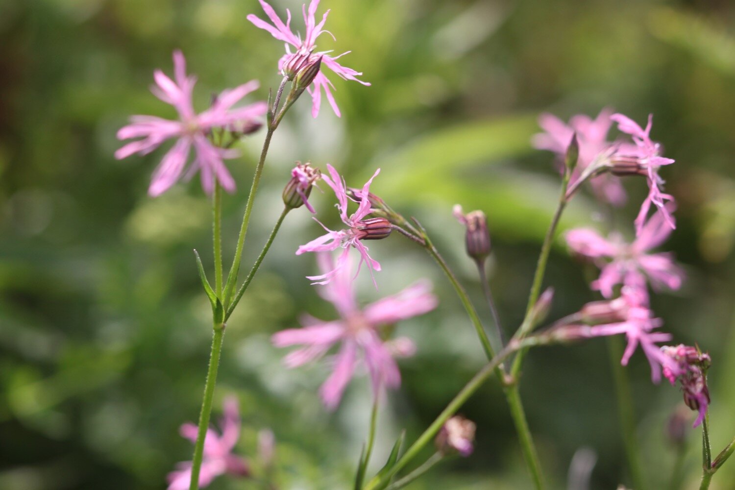
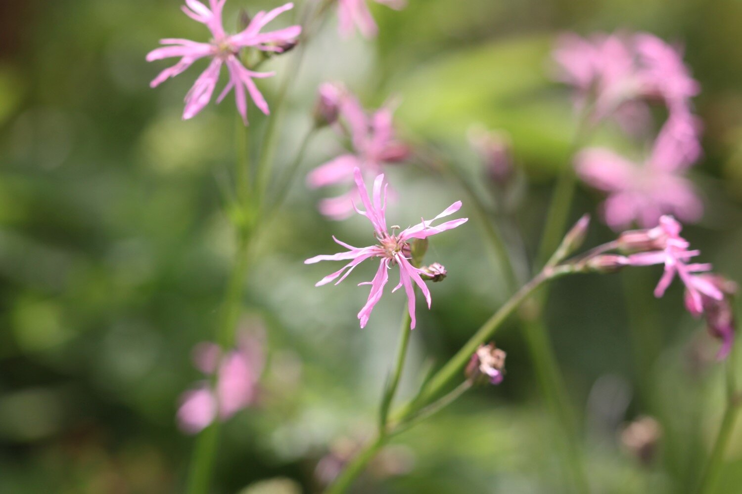
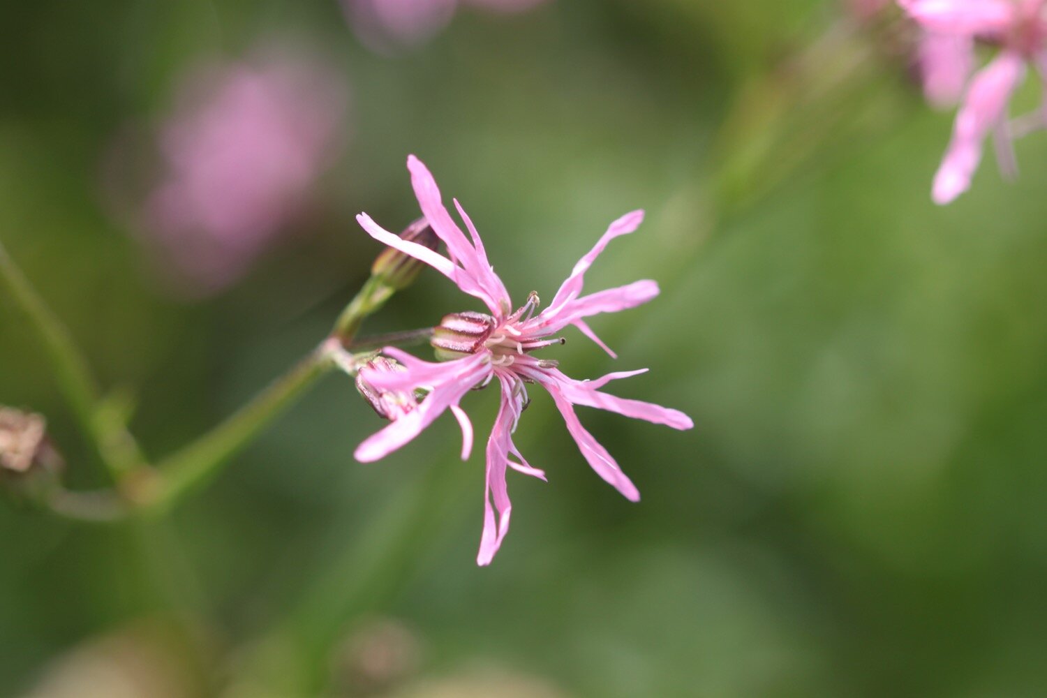
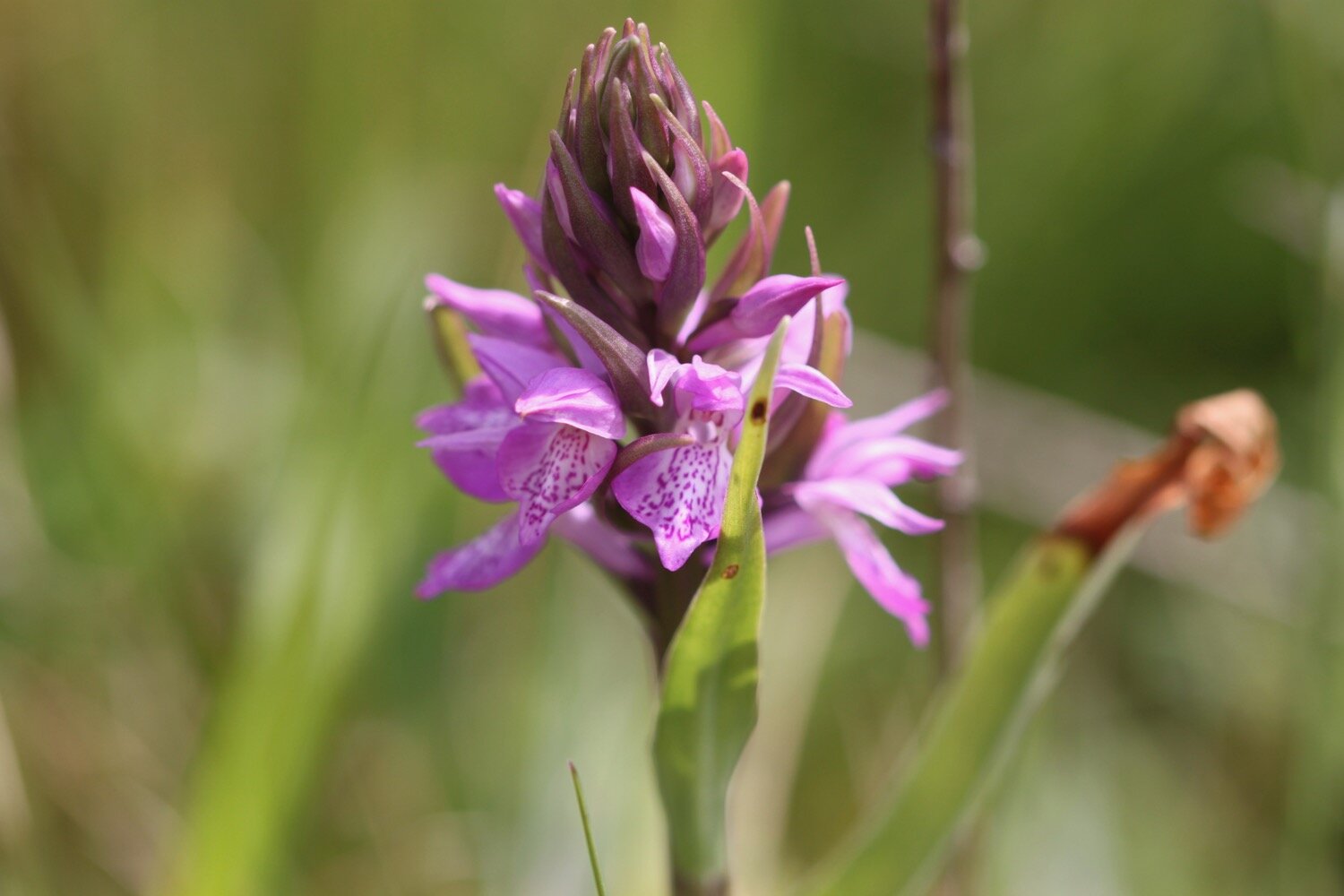
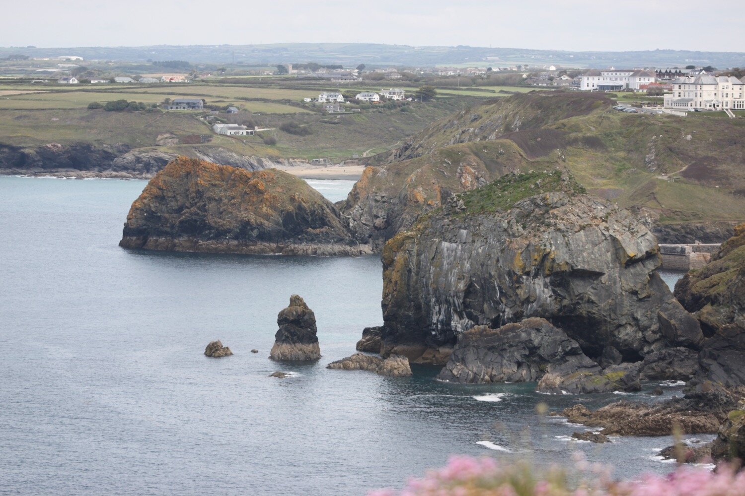
I continue along the cliffs, enjoying the views to reach Predannack. Predannack airfield is nearby and there is usually a constant stream of helicopters flying overhead but it's quiet today. Maybe they don't fly on a Monday? The wild flowers around here are amazing and there's sea thrift everywhere. I come across ragged robin which I rarely see at home and a small patch of what looks like southern marsh orchids.
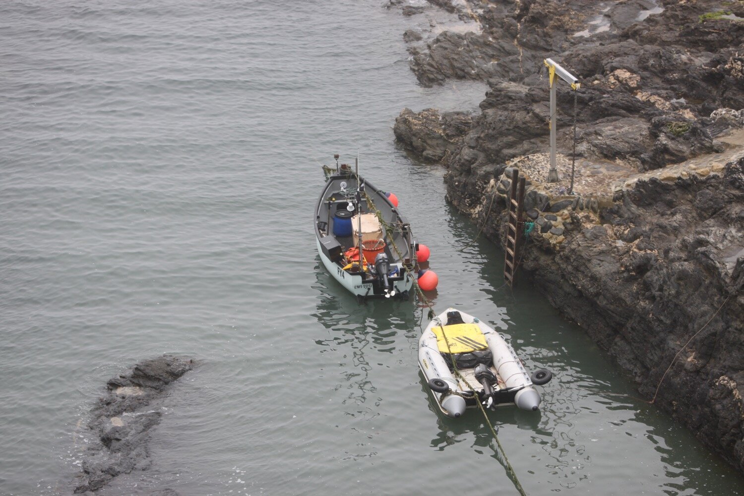
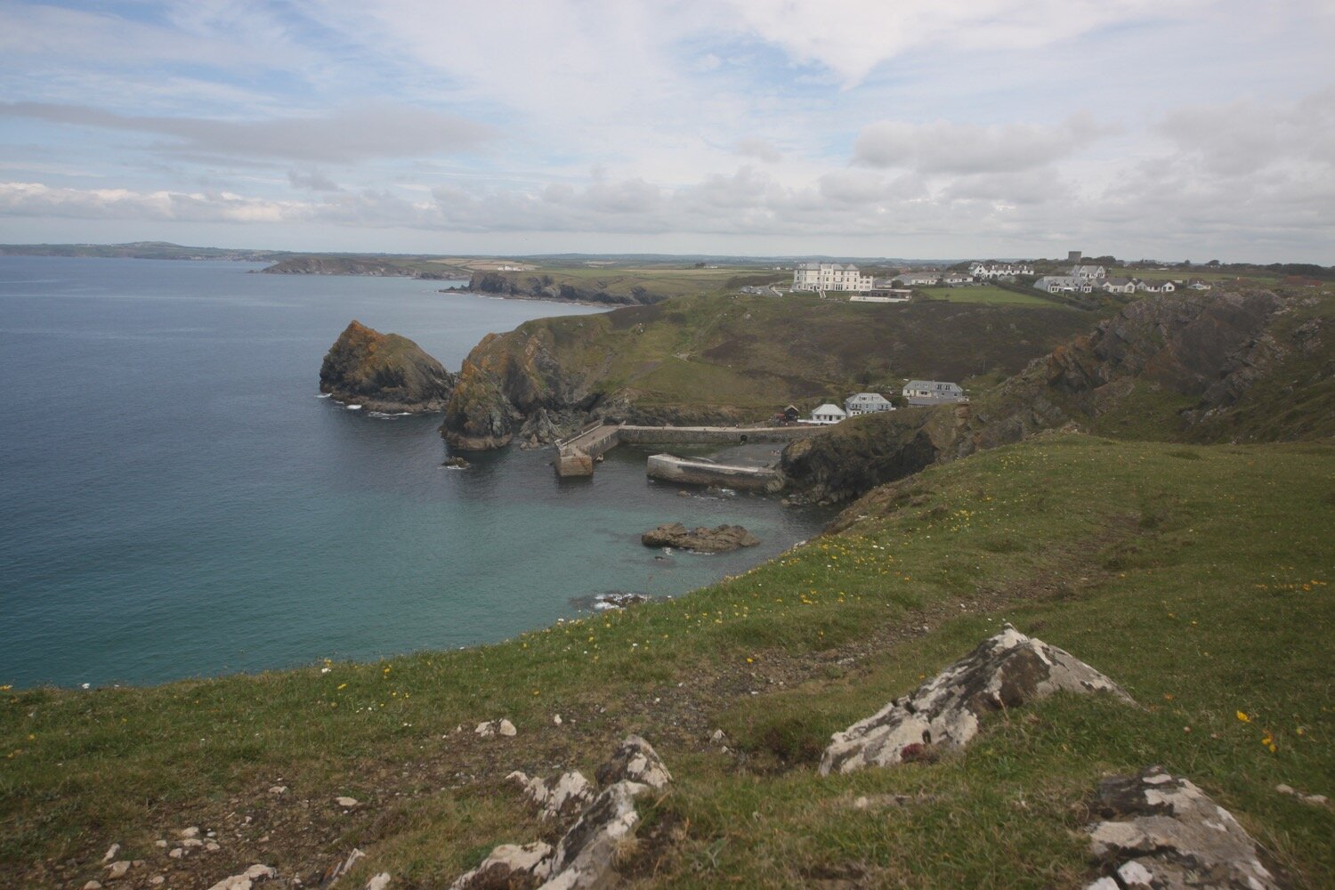
Mullion Cove comes into view and I have some kayaks racing past me down below.
kayaks
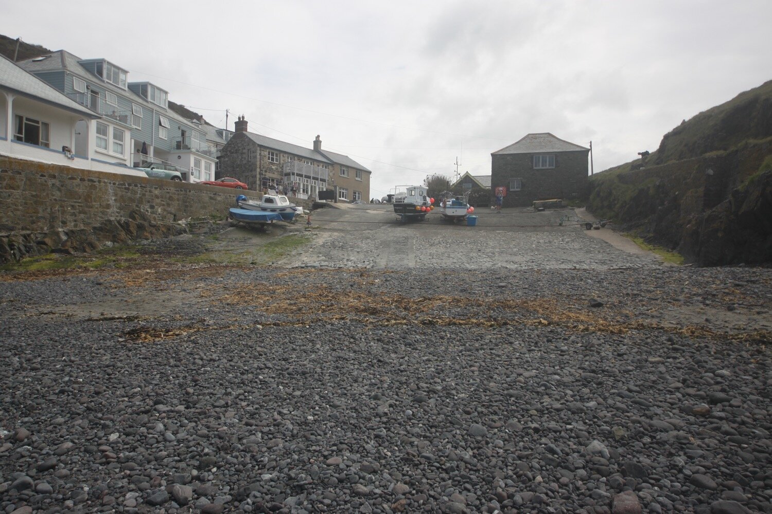
I take the steep descent down to the harbour. The last time I was here, Mullion Cove had taken a battering in winter storms and the harbour was badly damaged. It has now been fully repaired.
I ascend the other side of Mullion Cove and pass the Mullion Cove Hotel (@mullioncove).
mullion cove hotel
I head along the cliffs enjoying more of the wild flowers and pass Carrag-Luz or ‘Love Rock’.
carrag-luz
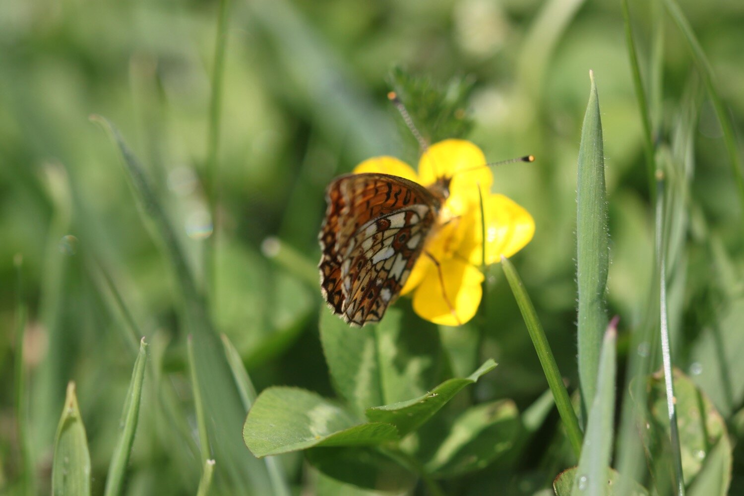
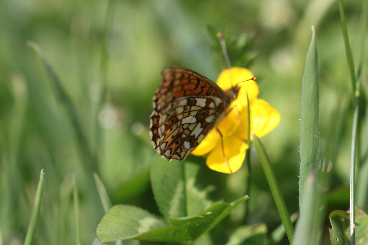
Above Polurrian Cove I come across an unfamiliar moth which, I think turns out to be a barred yellow moth.
barred yellow moth
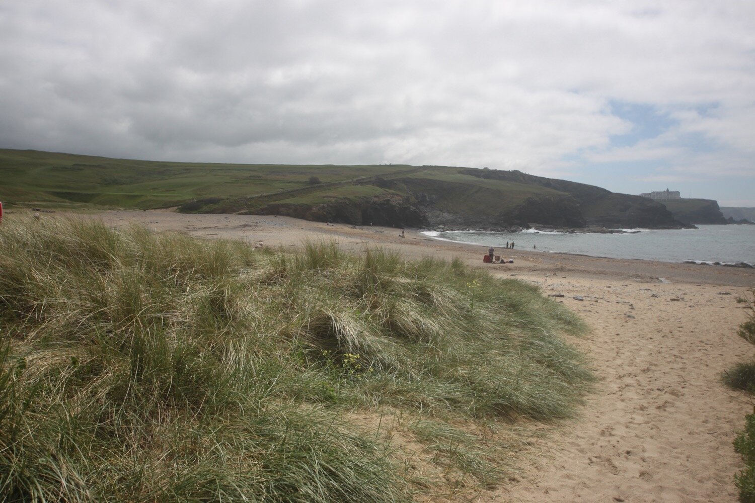
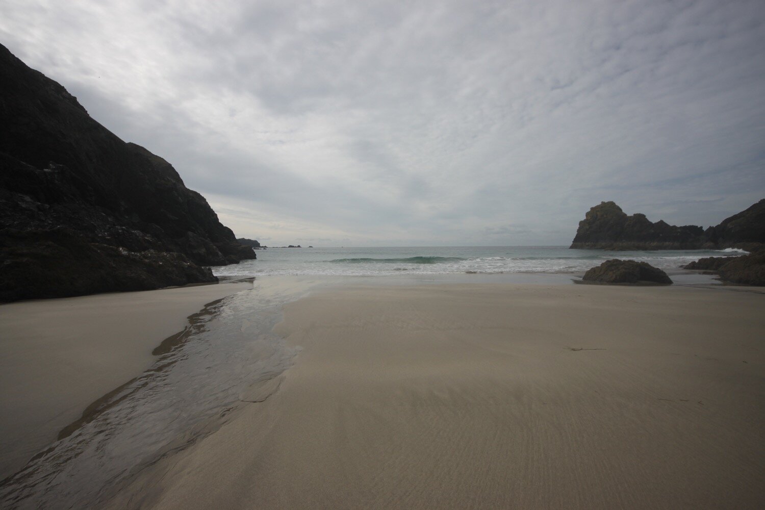
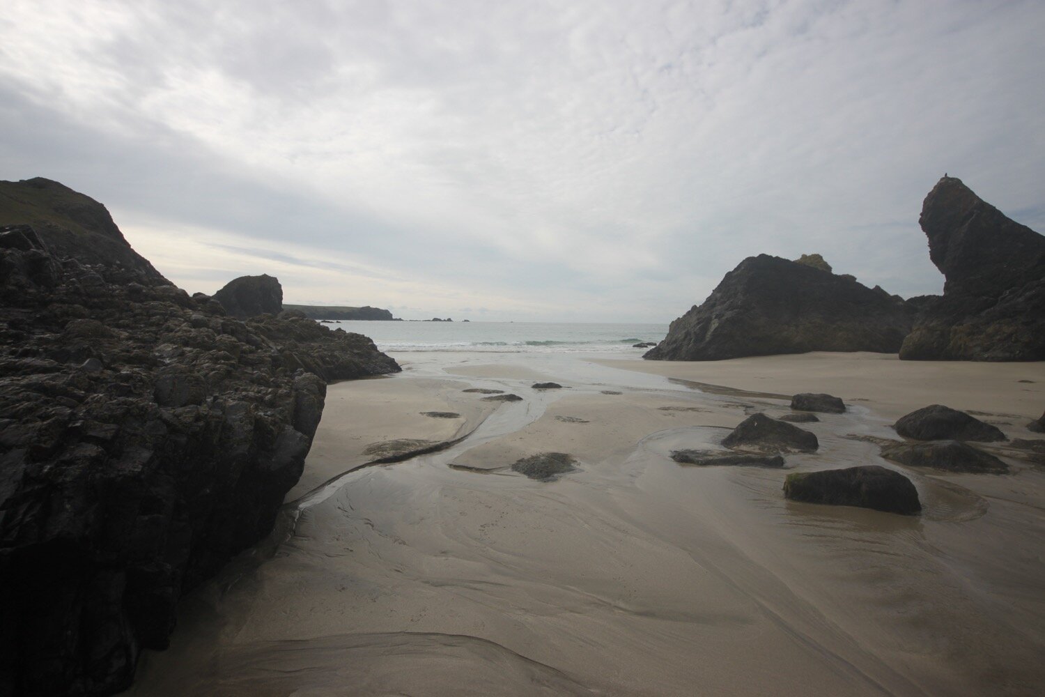
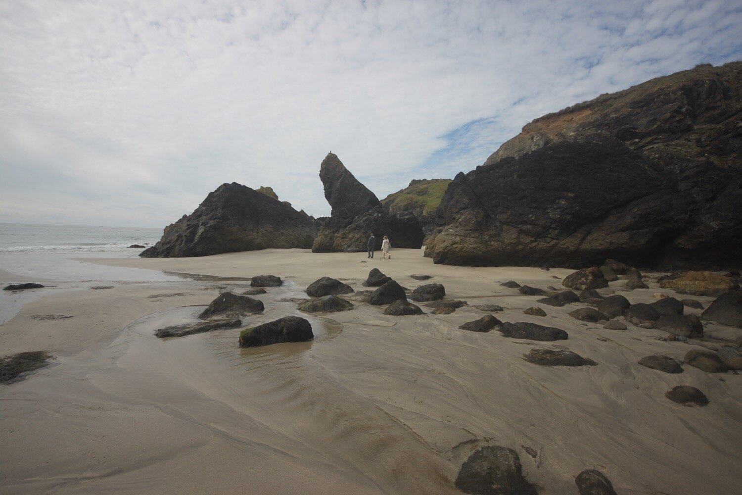
I reach sandy Polurrian Cove. I waste more time pottering along the sandy beach before climbing back out of Polurrian Cove and heading along the cliffs.
polurrian cove
polurrian cove
I stop briefly at a bench which has magnificent views to let some dog walkers pass me.
“If ever our souls part to say goodbye
meet me there, where the sea meets the sky;
lost, but finally free.”
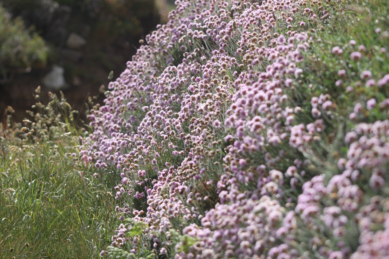
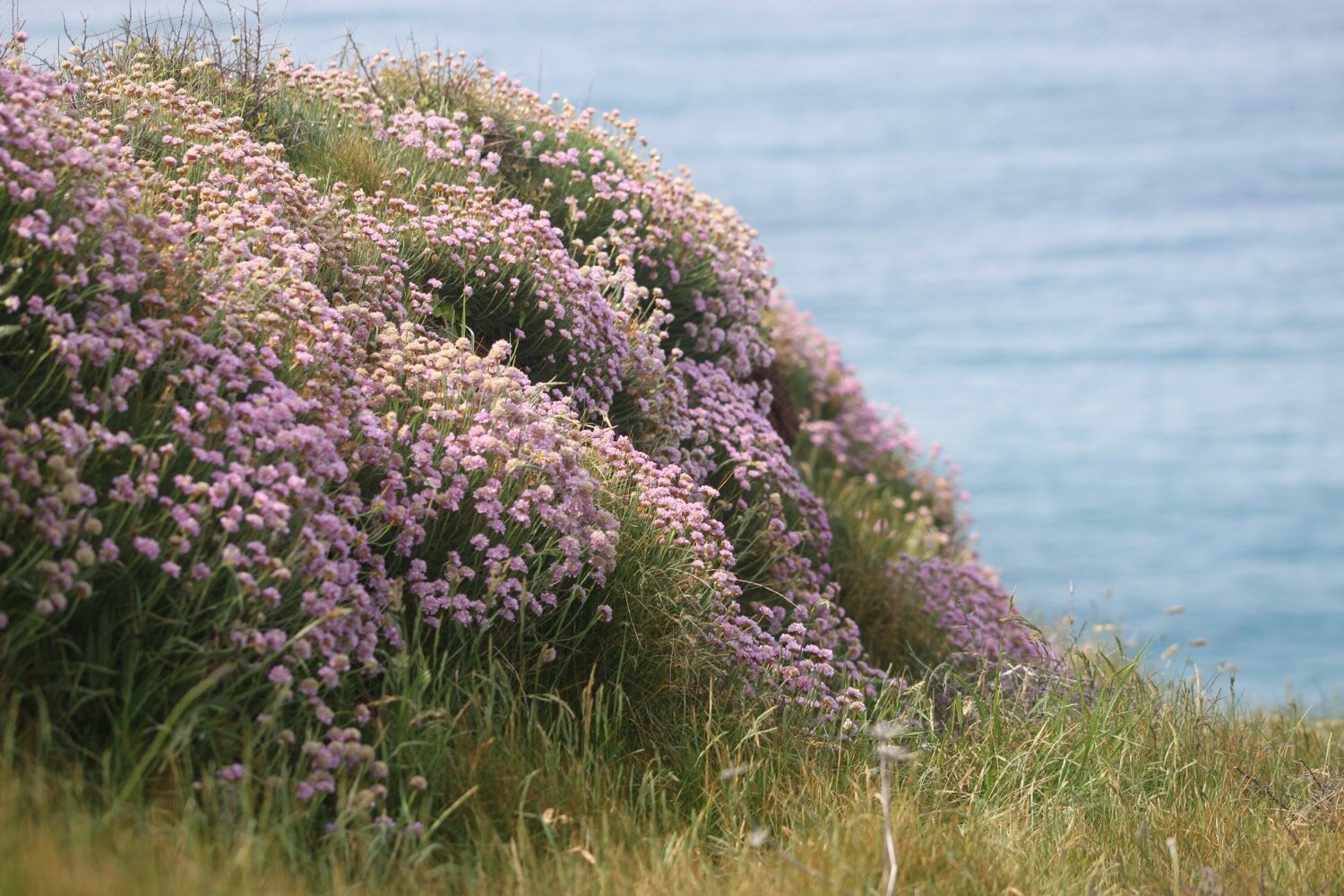
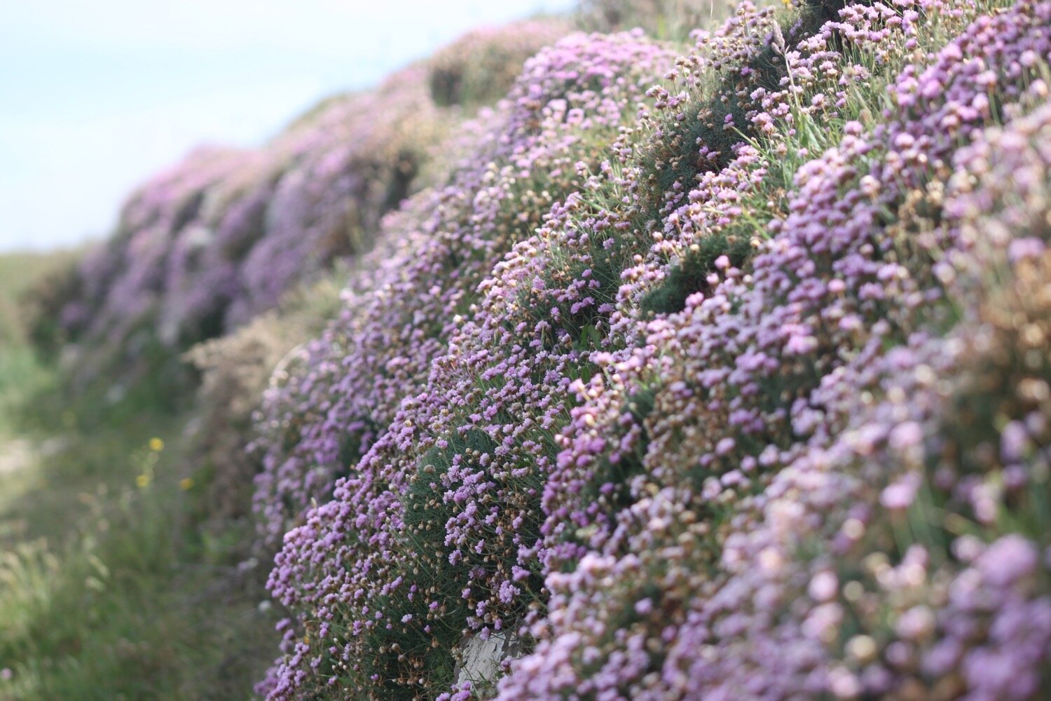
I pass the Marconi monument, a granite monument commemorating the first transatlantic radio transmission on the 12th of December 1901. I think that Marconi probably had a better signal 100-odd years ago than I've had today although, to be fair, I think I’ve got a 3G signal here but the sun is too bright for me to be able to see my phone screen properly. I continue along the cliffs enjoying the masses of pink sea thrifts.
marconi monument
As I descend to Poldhu Cove a chough flies across my horizon, calling as it goes. What a lovely end to the day.
descending to poldhu cove
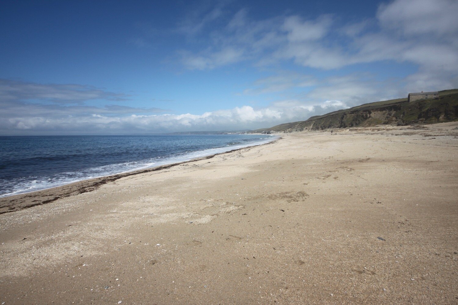
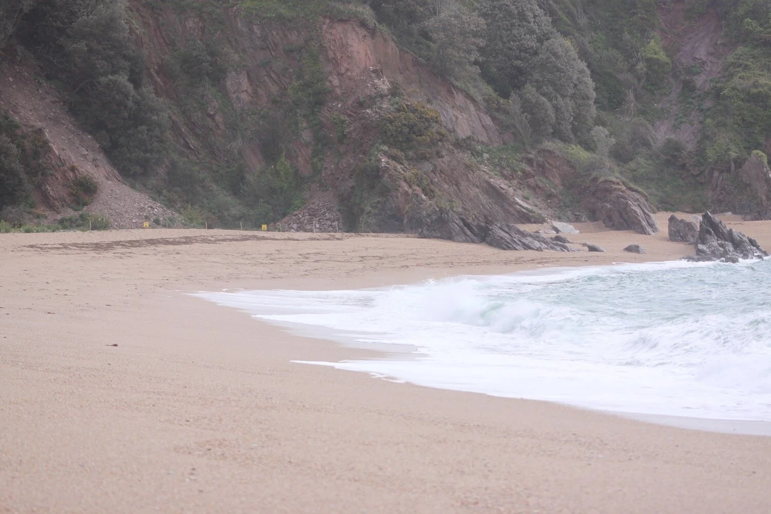
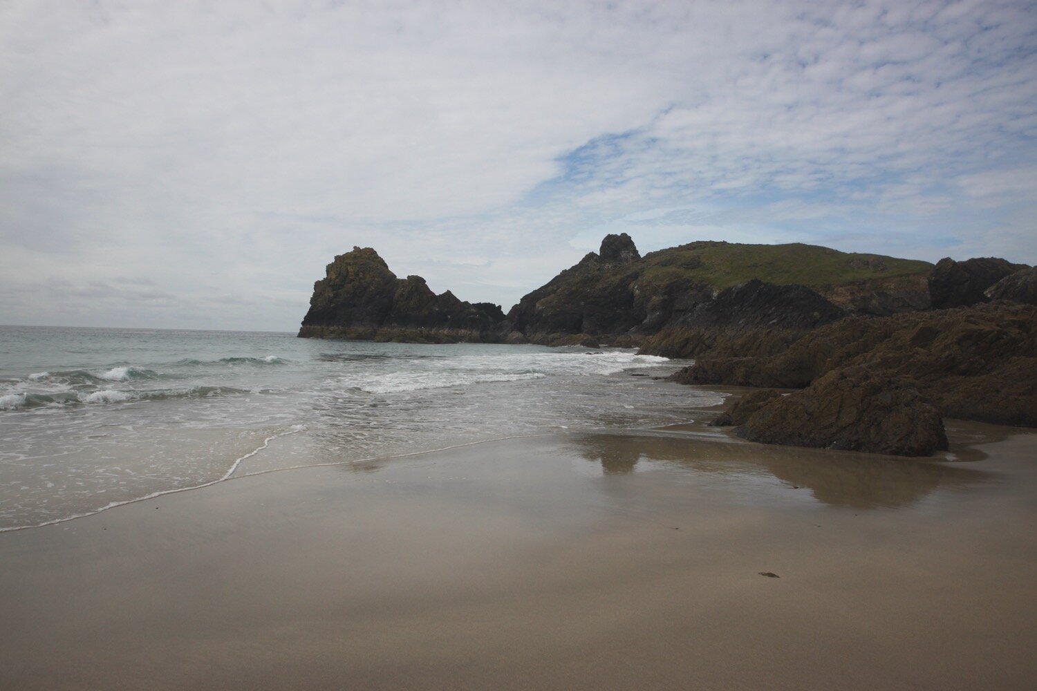
I reach Poldhu Cove where the Poldhu Beach Cafe (@poldhu) can be found and waste more time on the sandy beach. It's quite a bit busier here than I'm used to but not too bad for a sunny summer’s day.
poldhu cove
poldhu cove
FLORA AND FAUNA
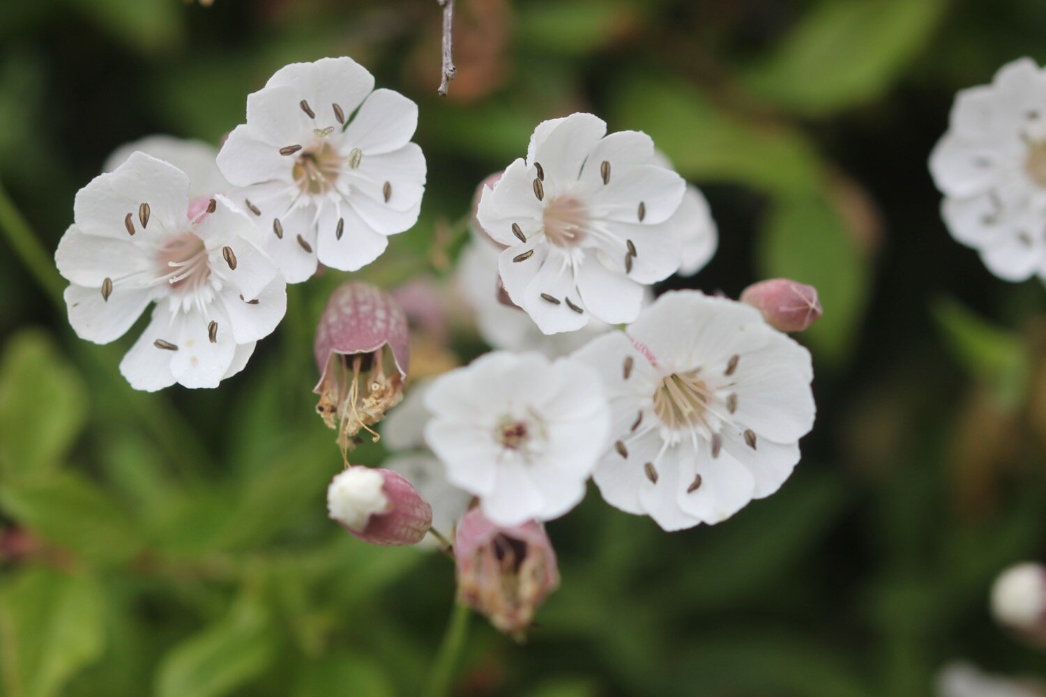
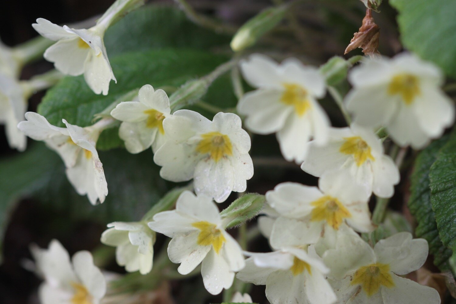
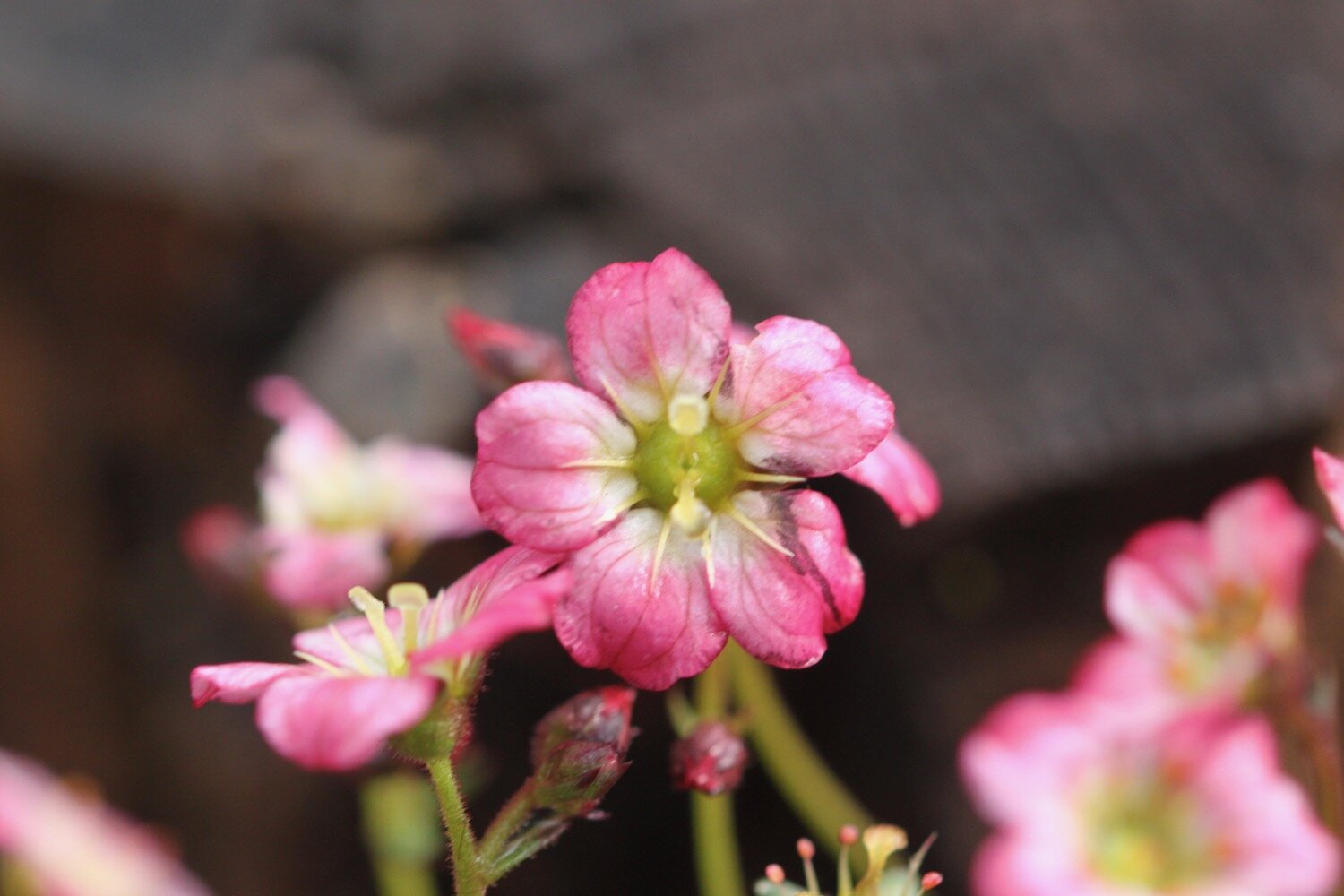
Flora and fauna encountered on the walk today includes :-
seagulls
choughs
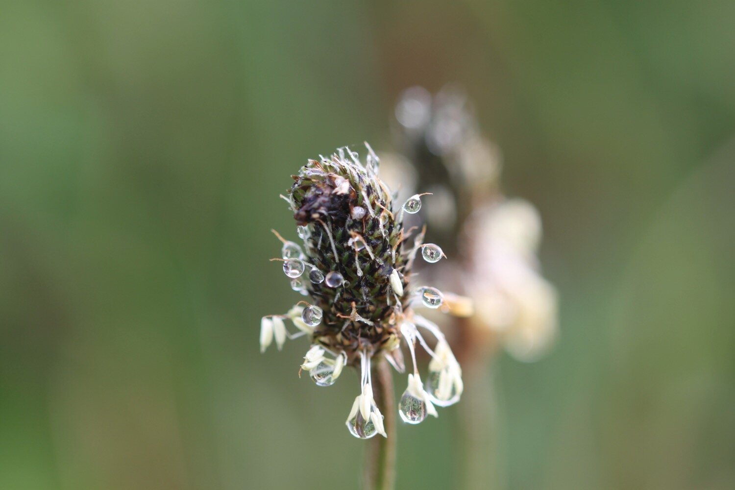
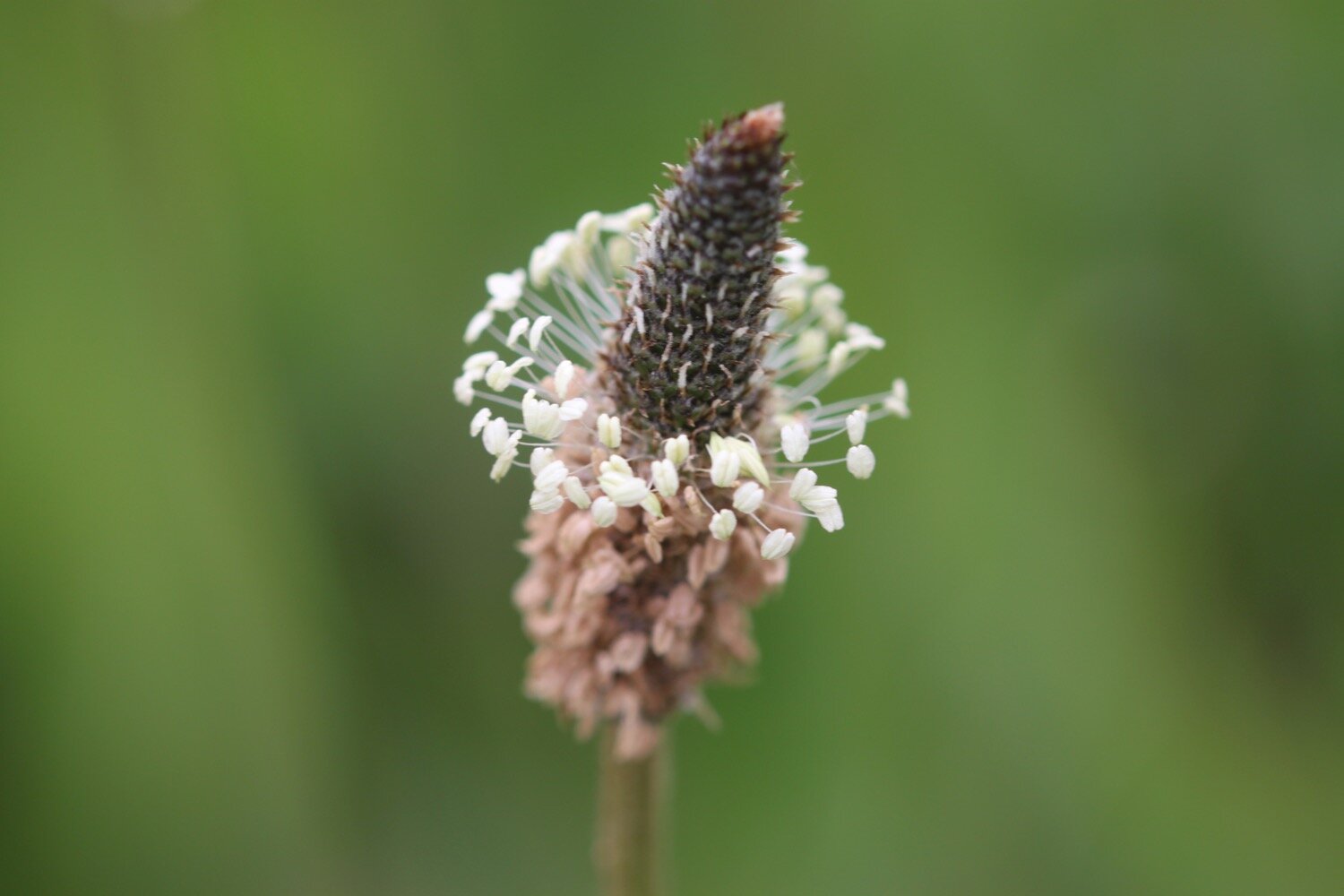
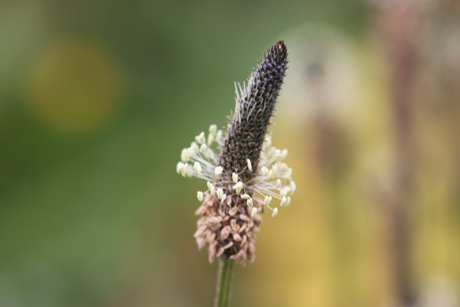
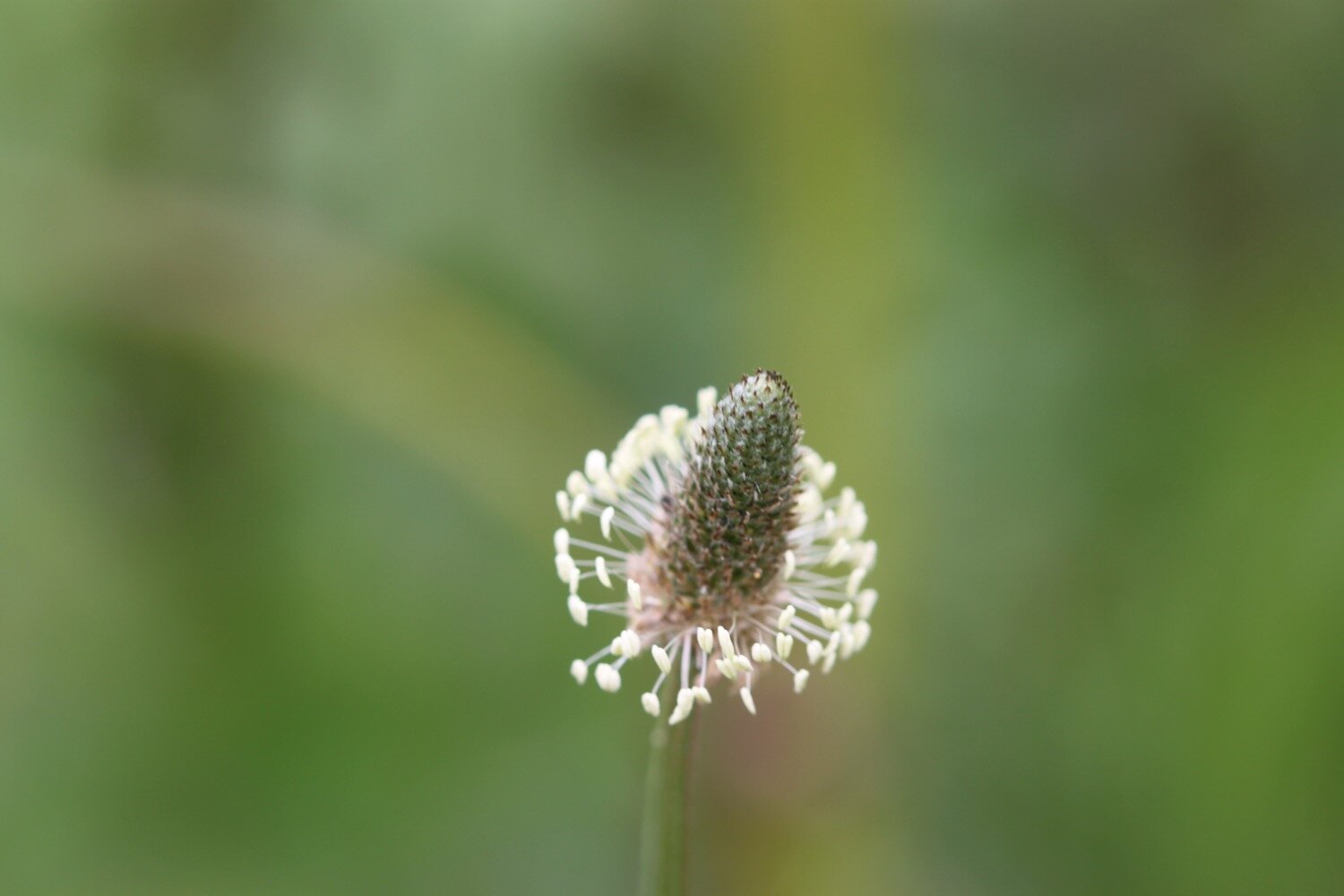
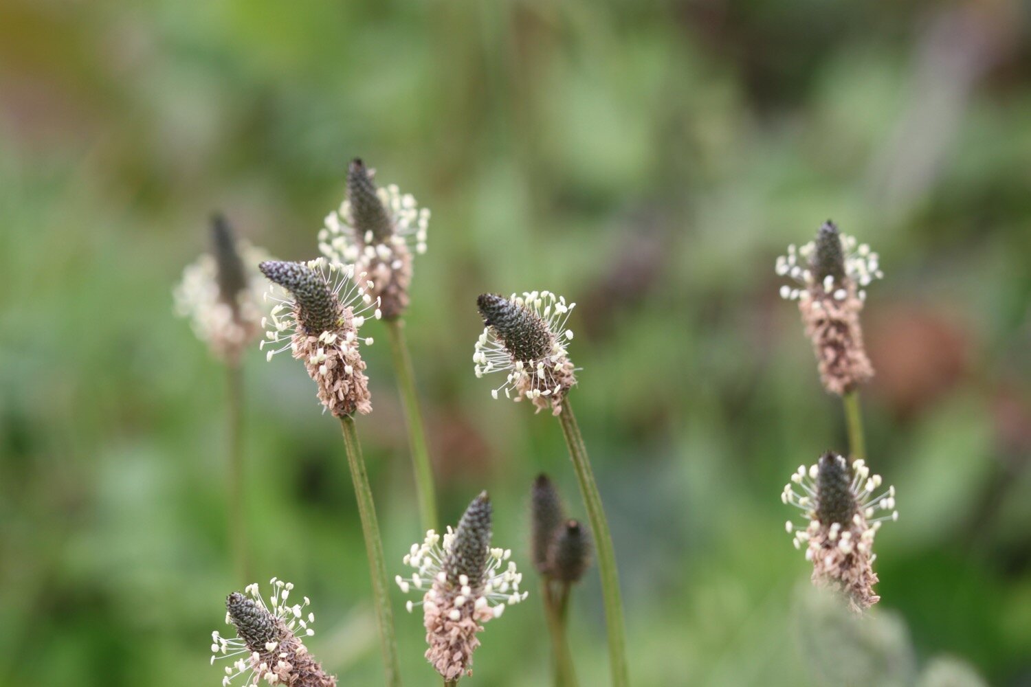
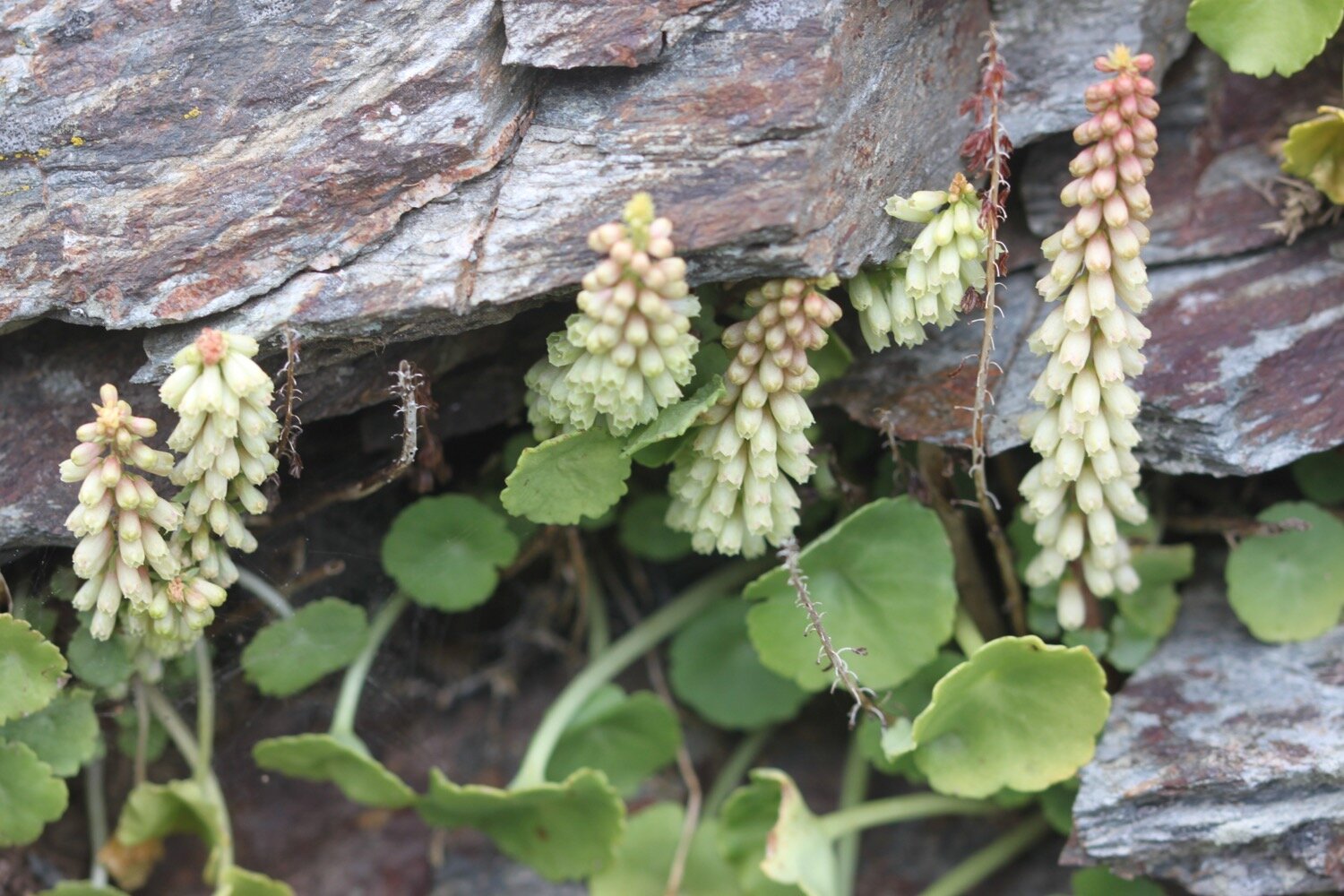
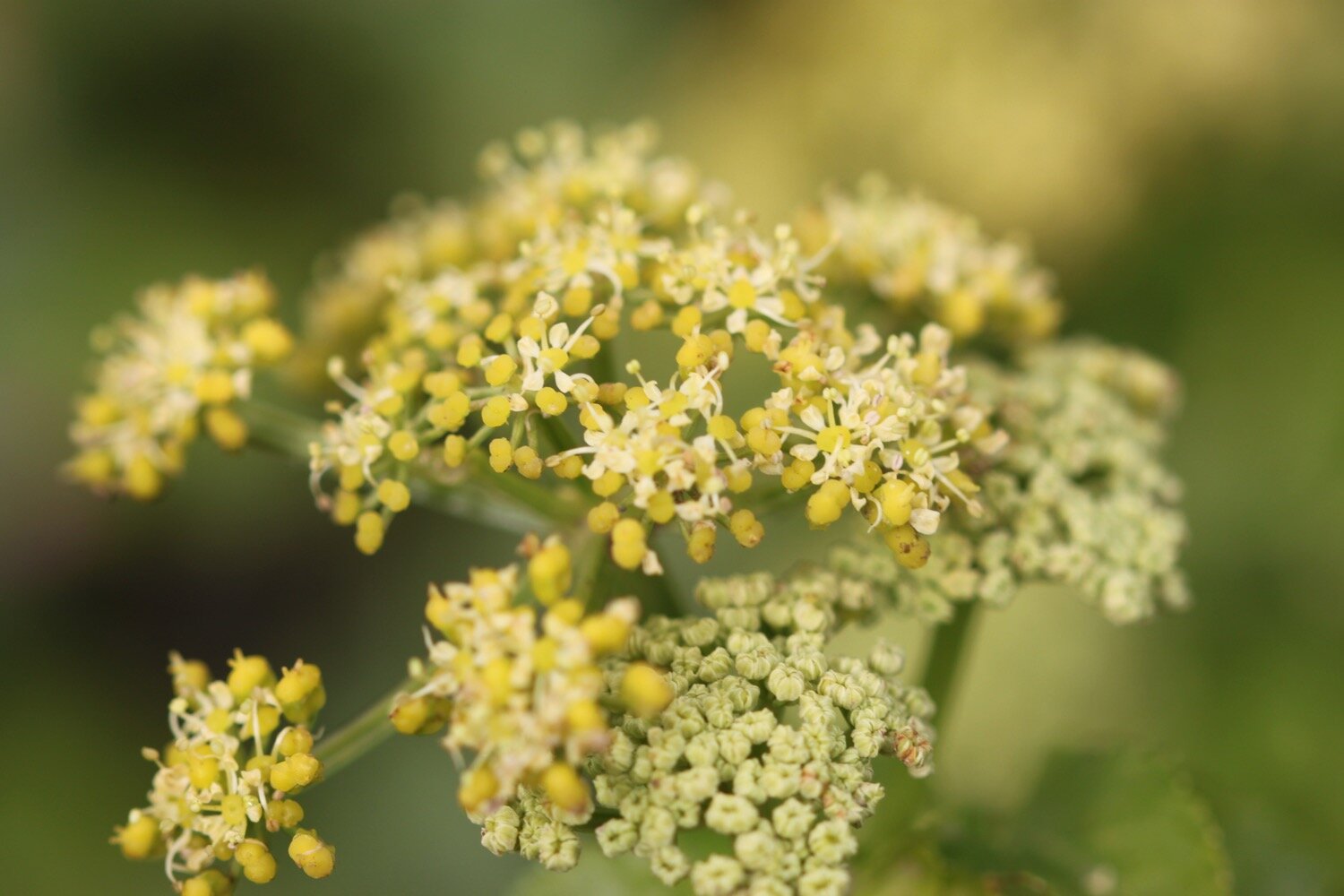
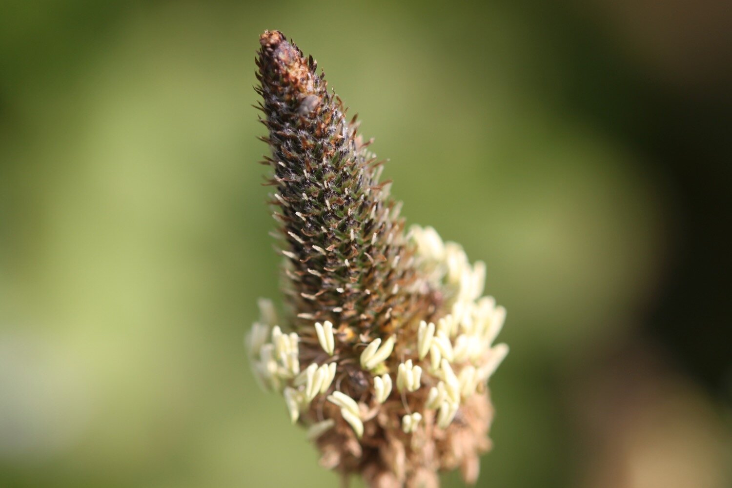
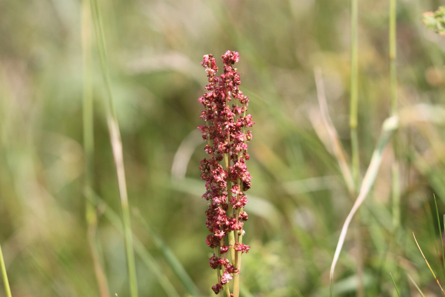
ribwort plantain
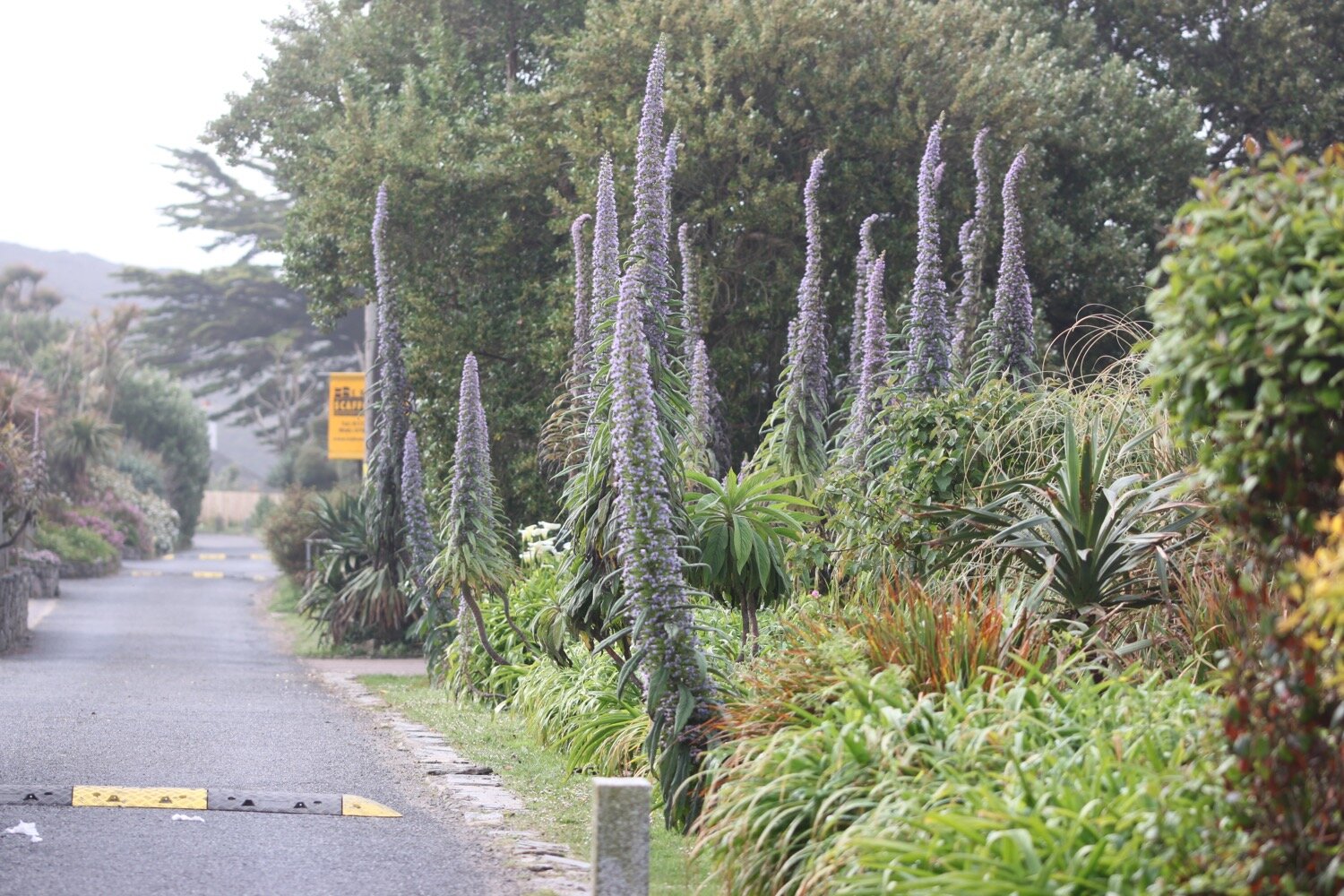
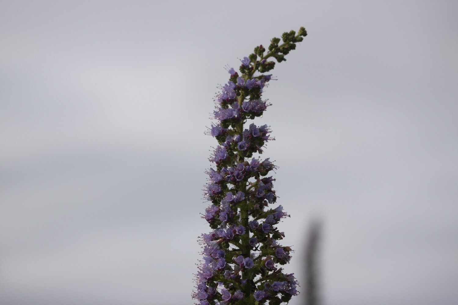
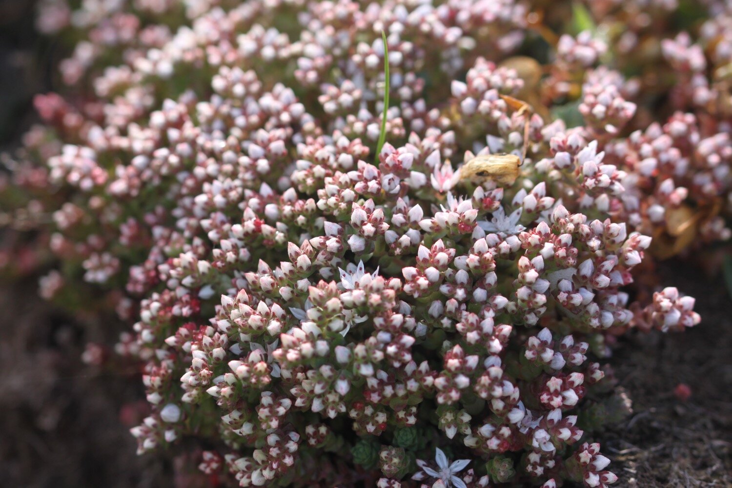
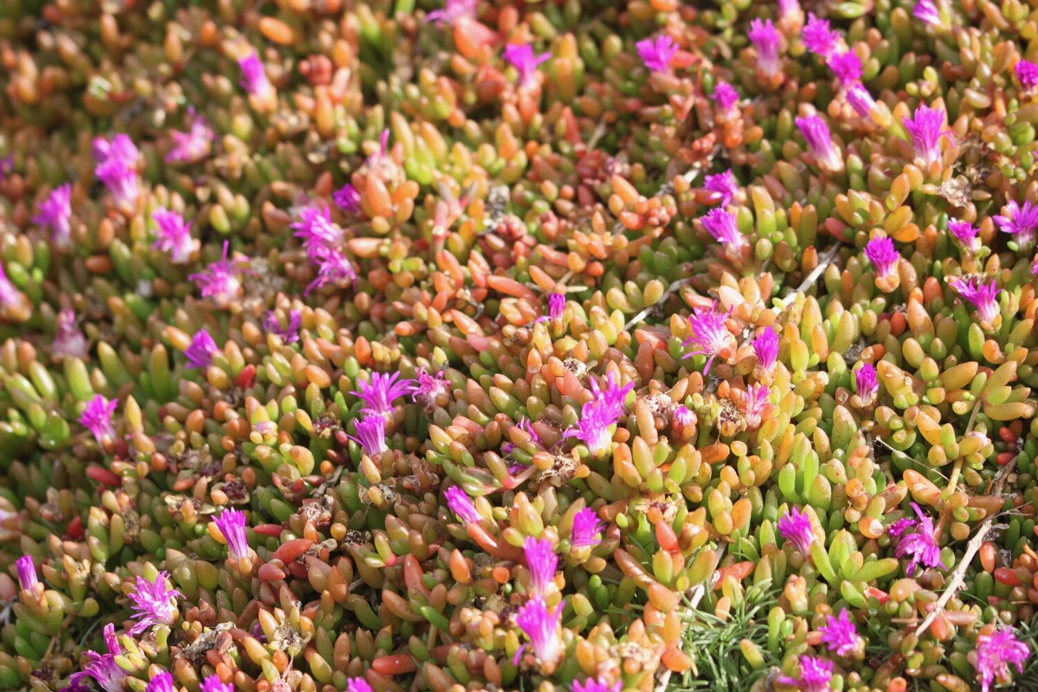
mesembryanthemum
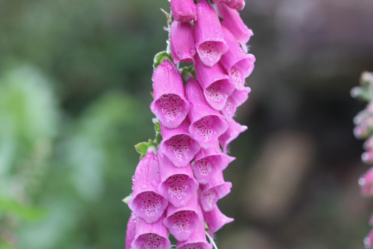
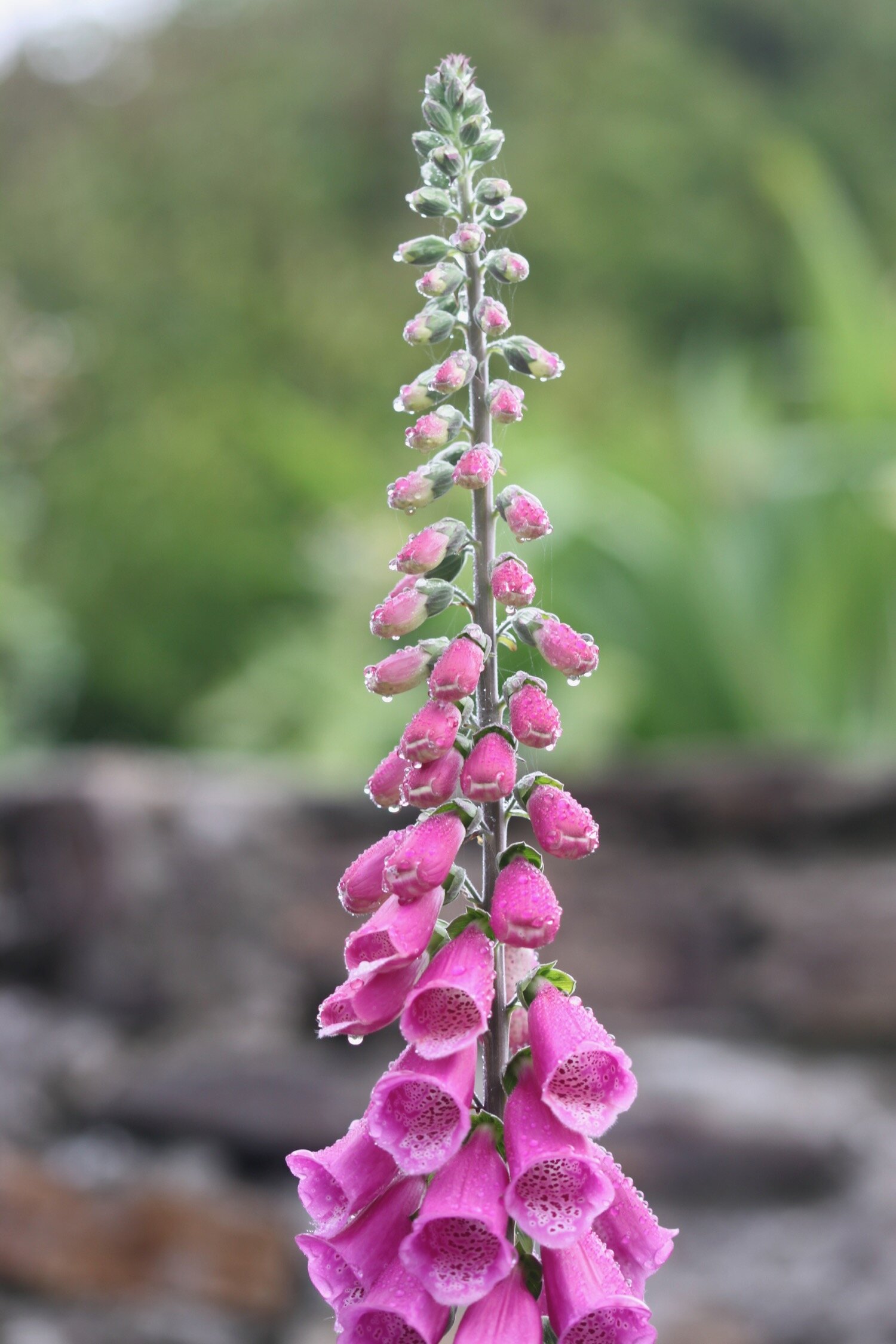
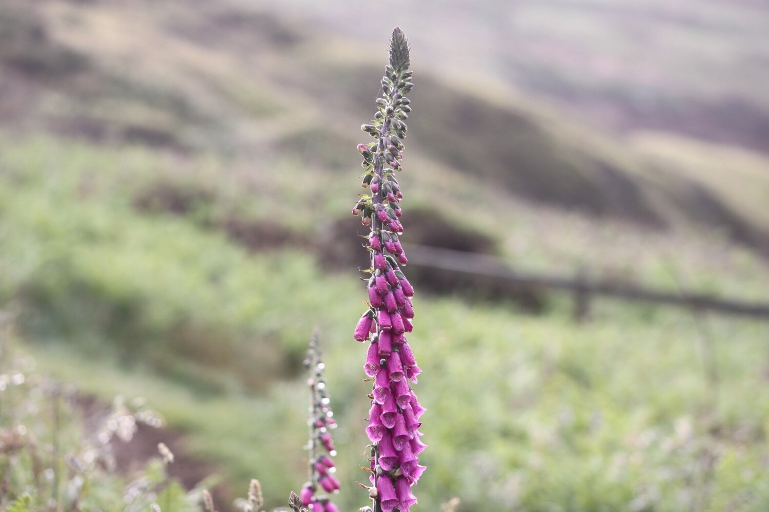
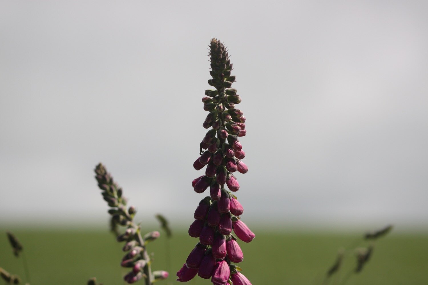
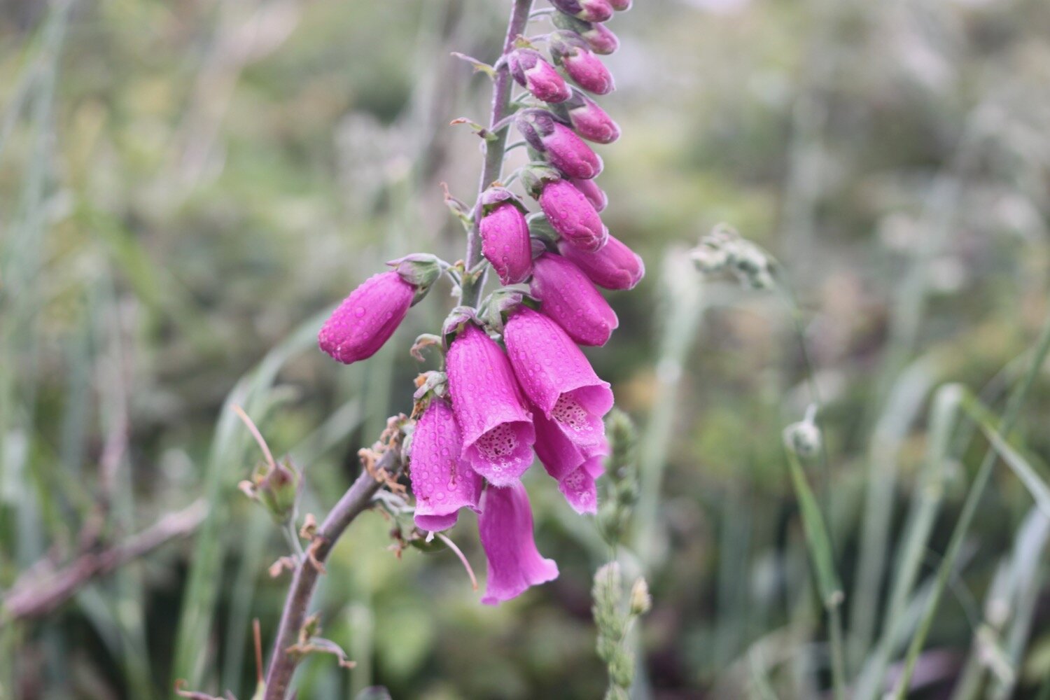
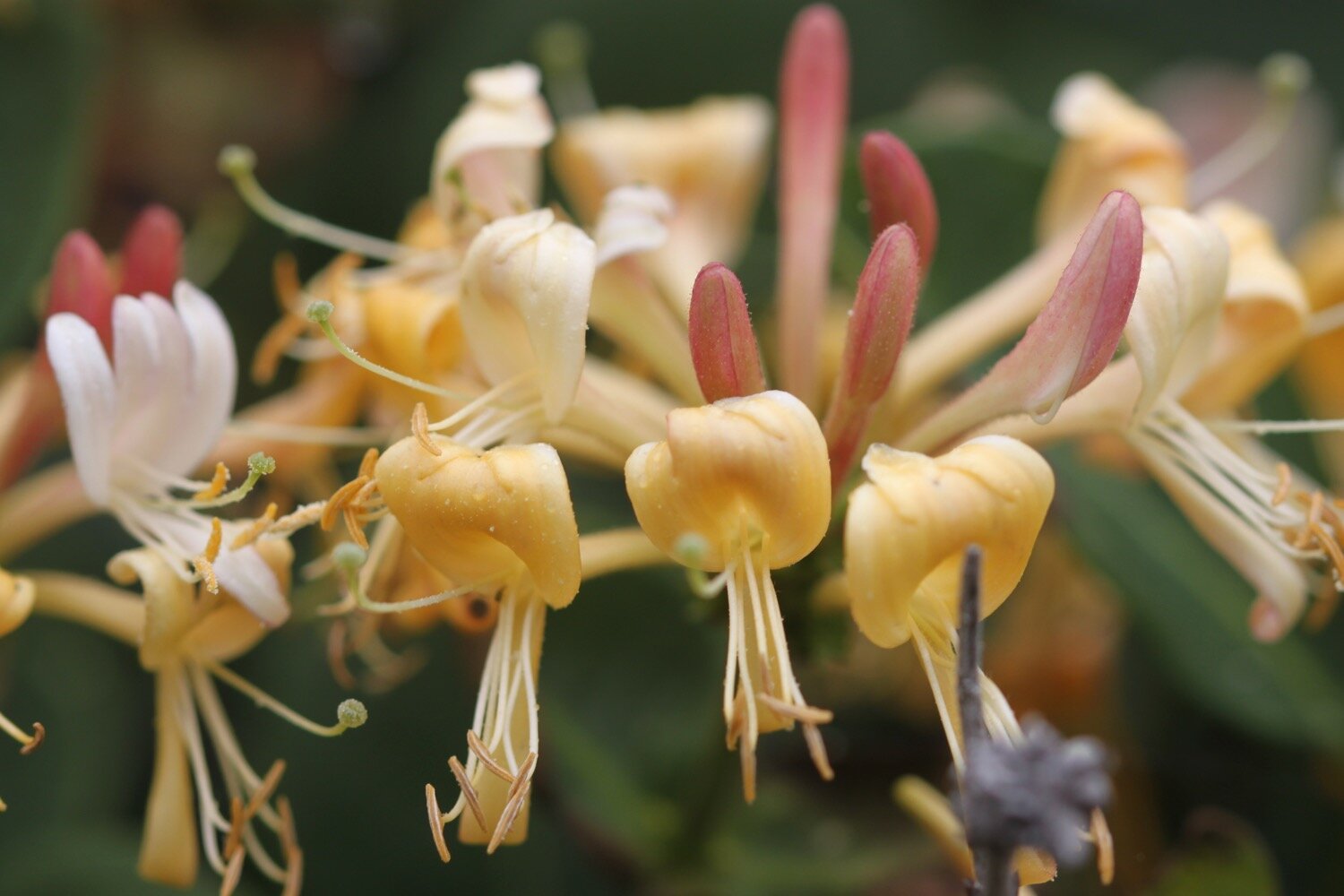
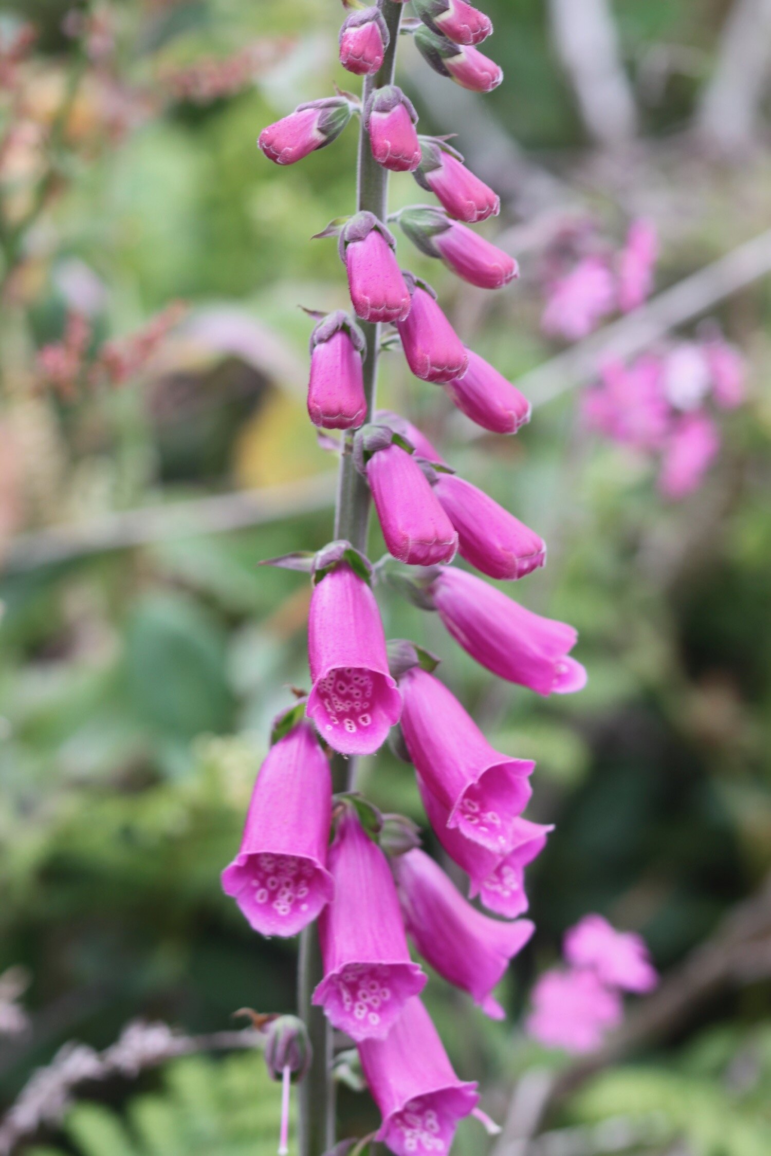
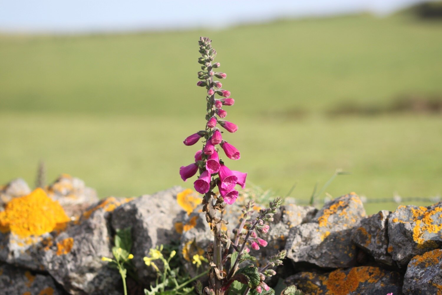
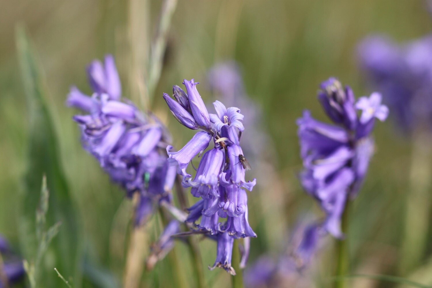
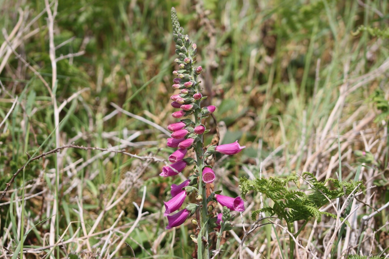
foxgloves
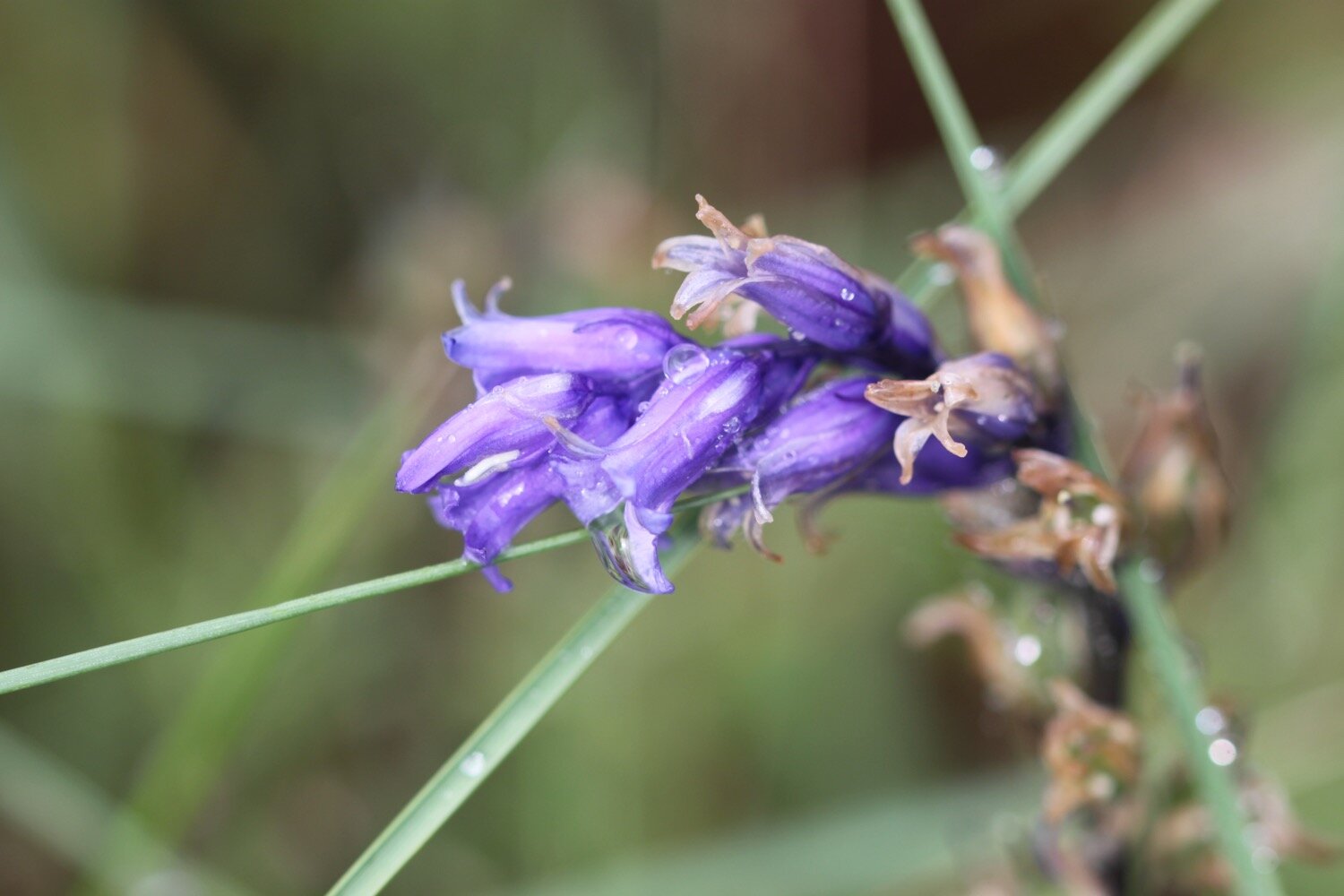
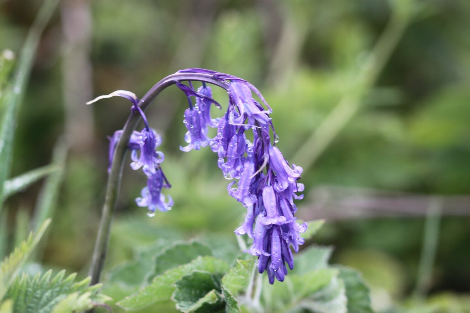
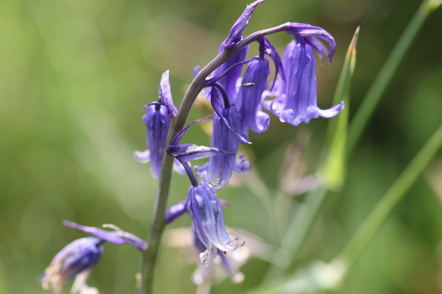
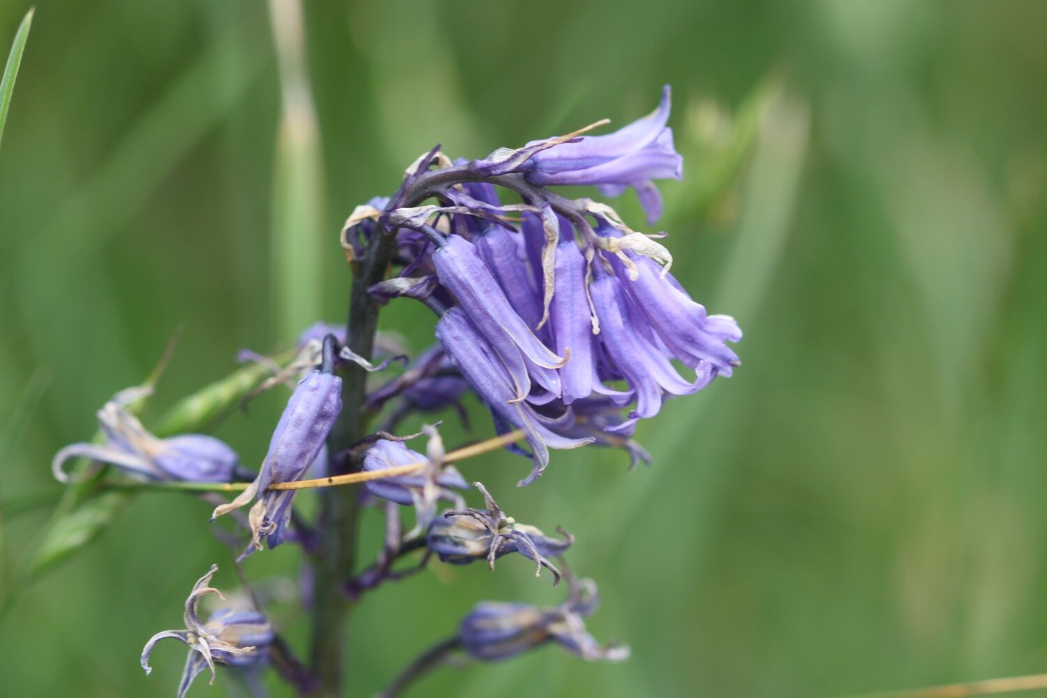
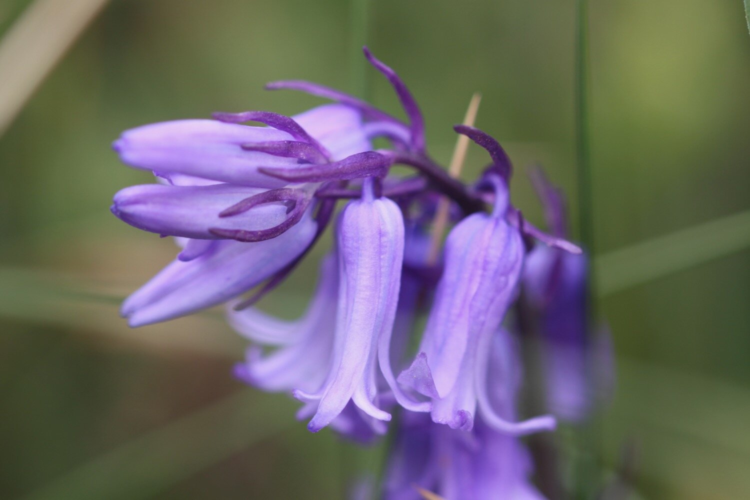
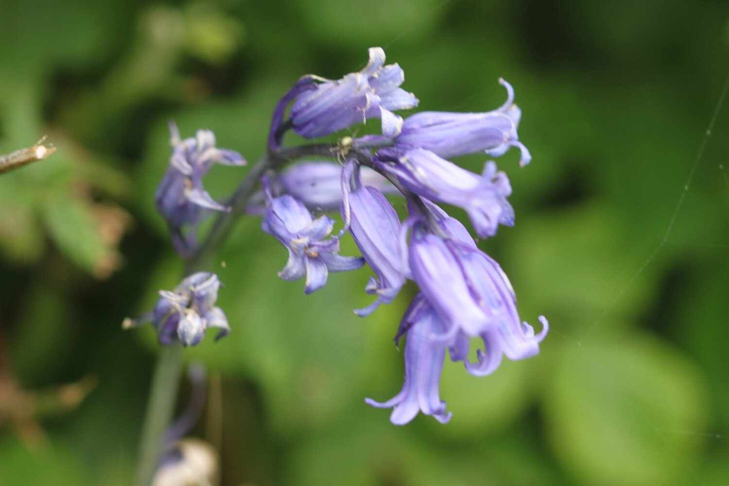
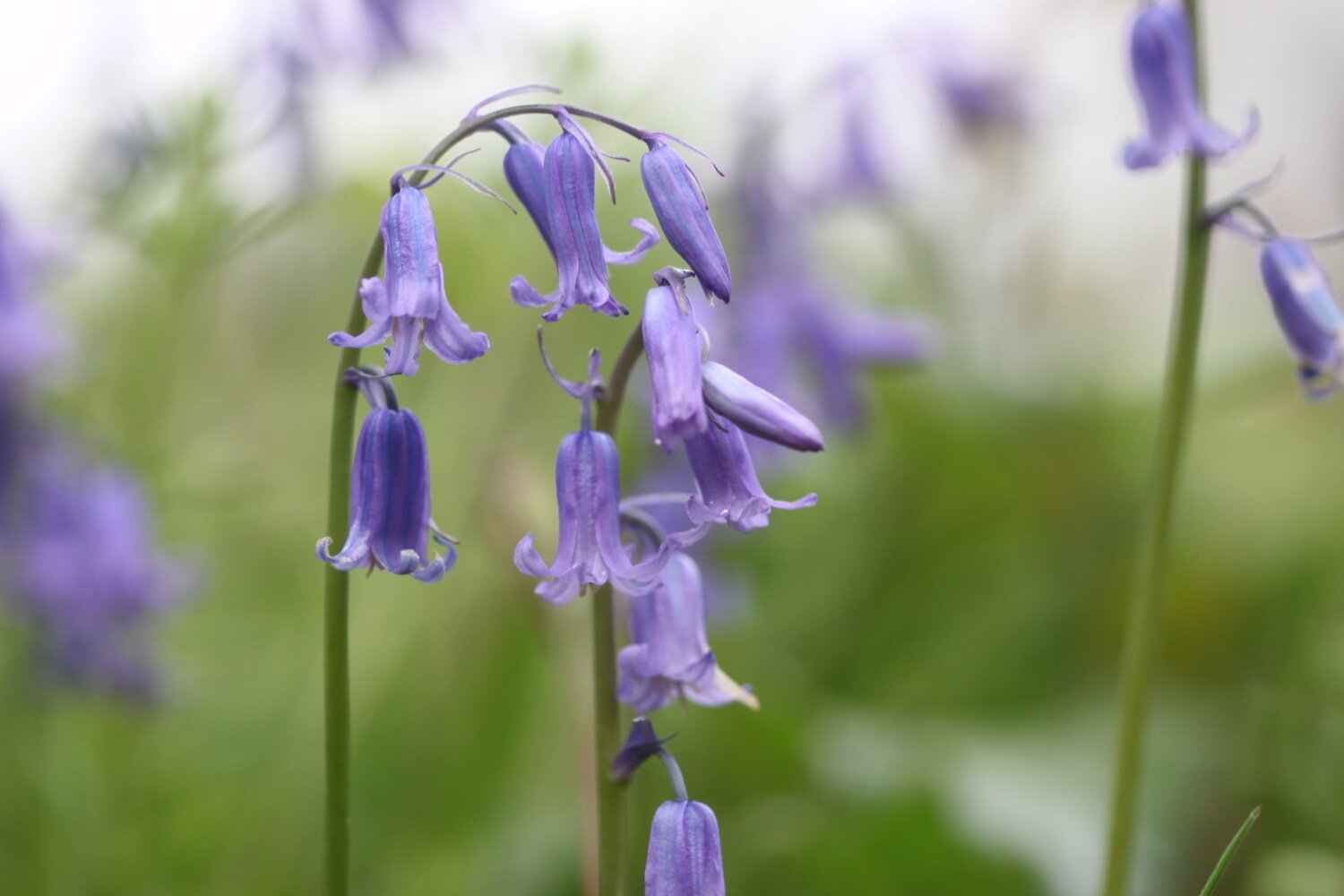
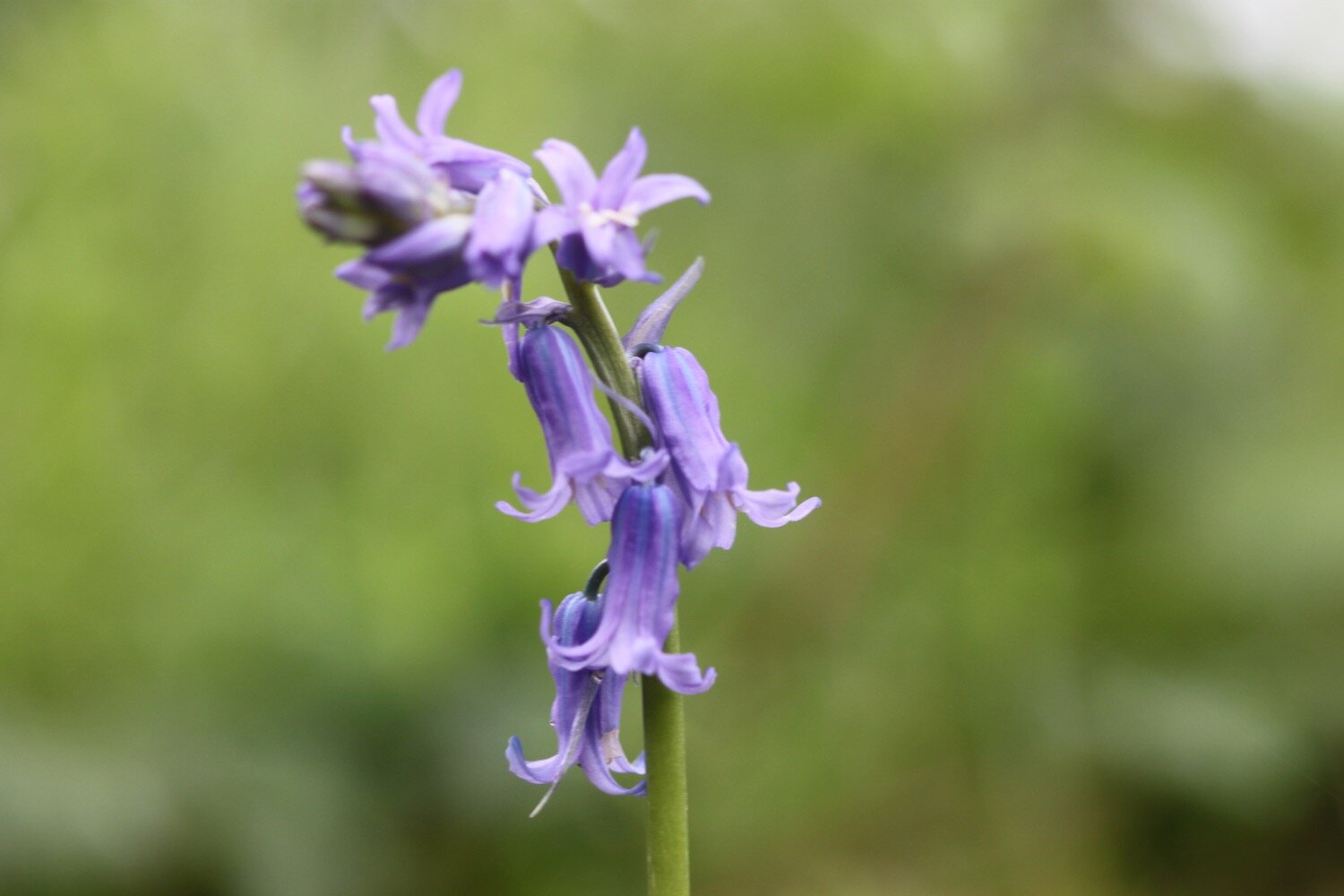
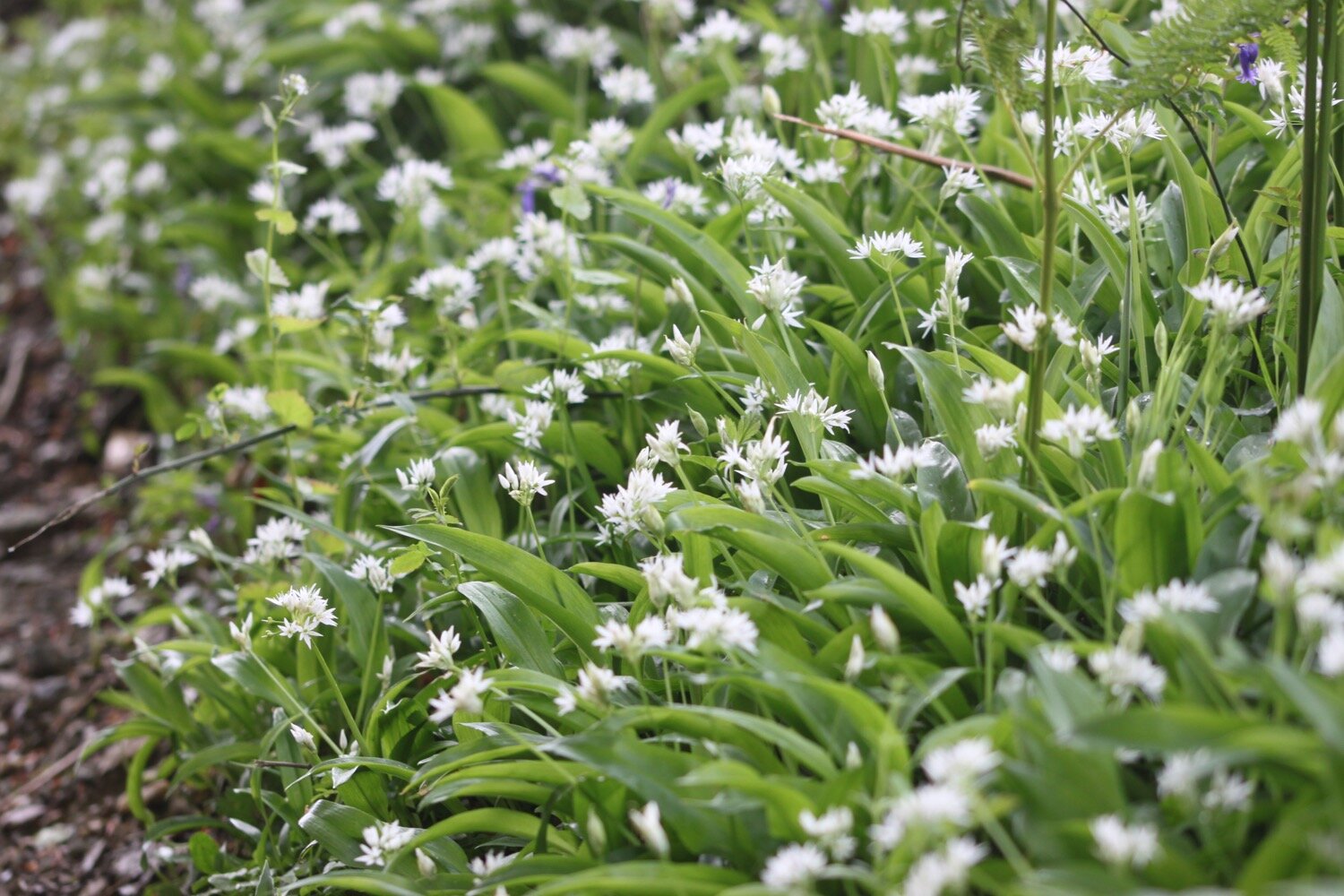
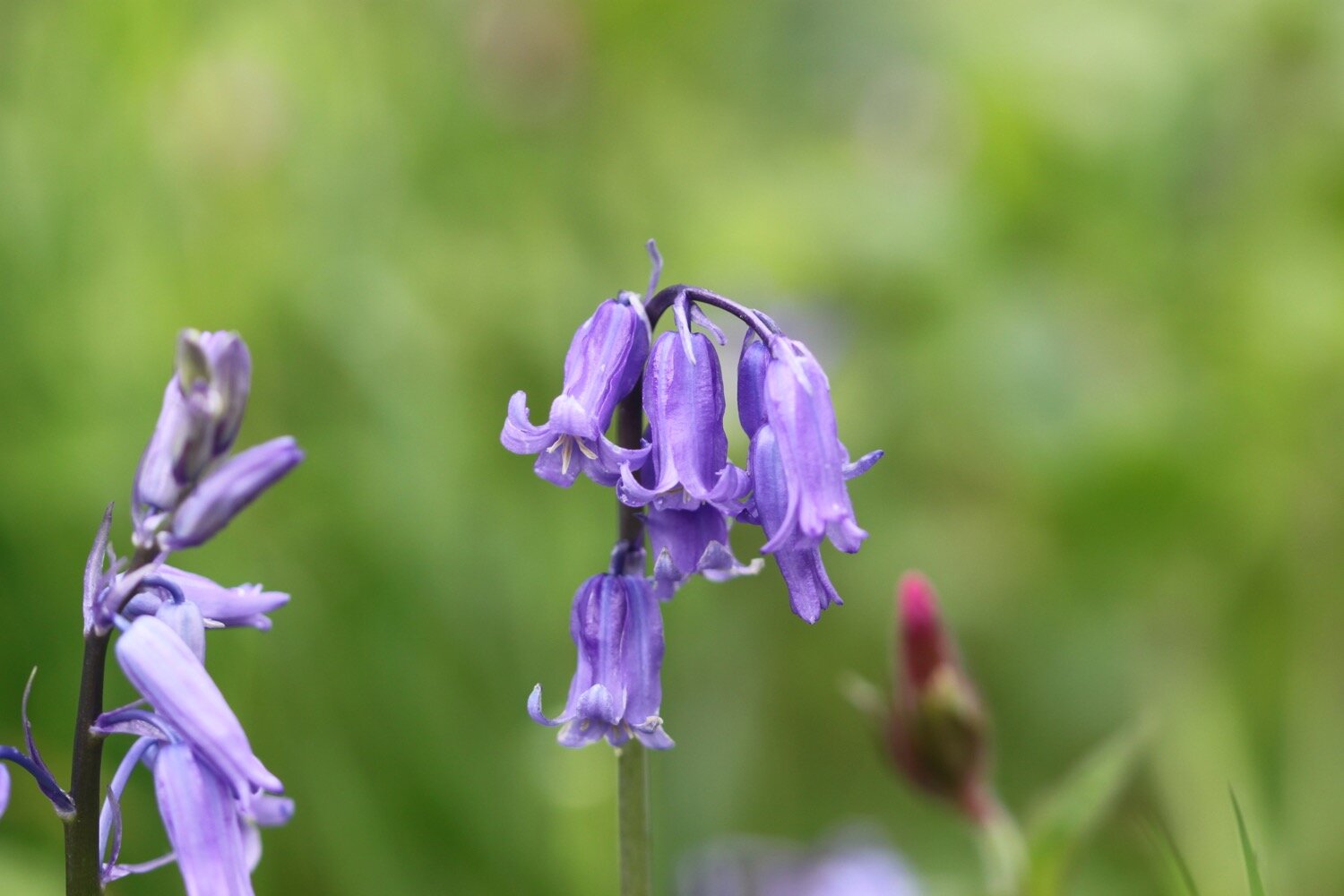
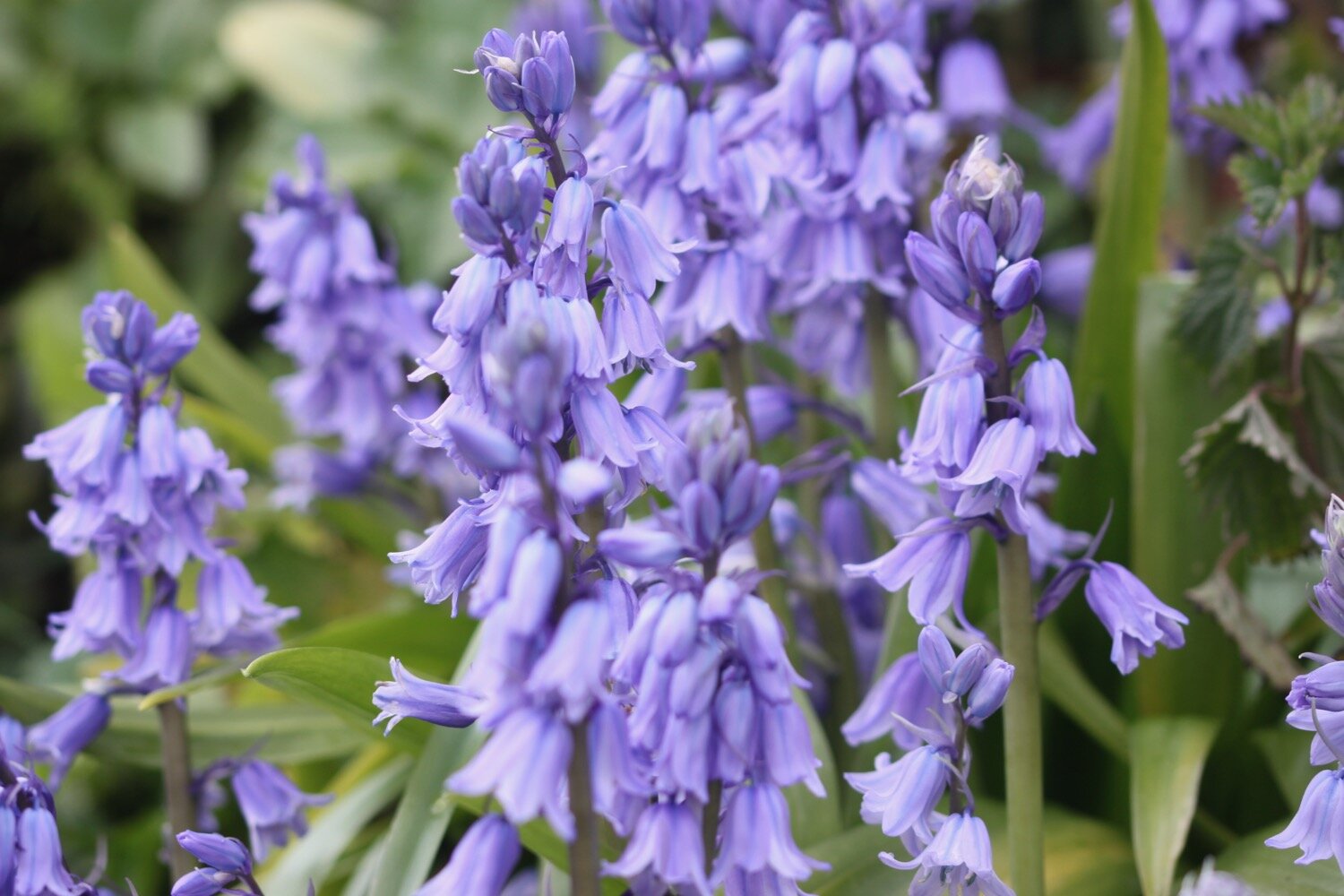
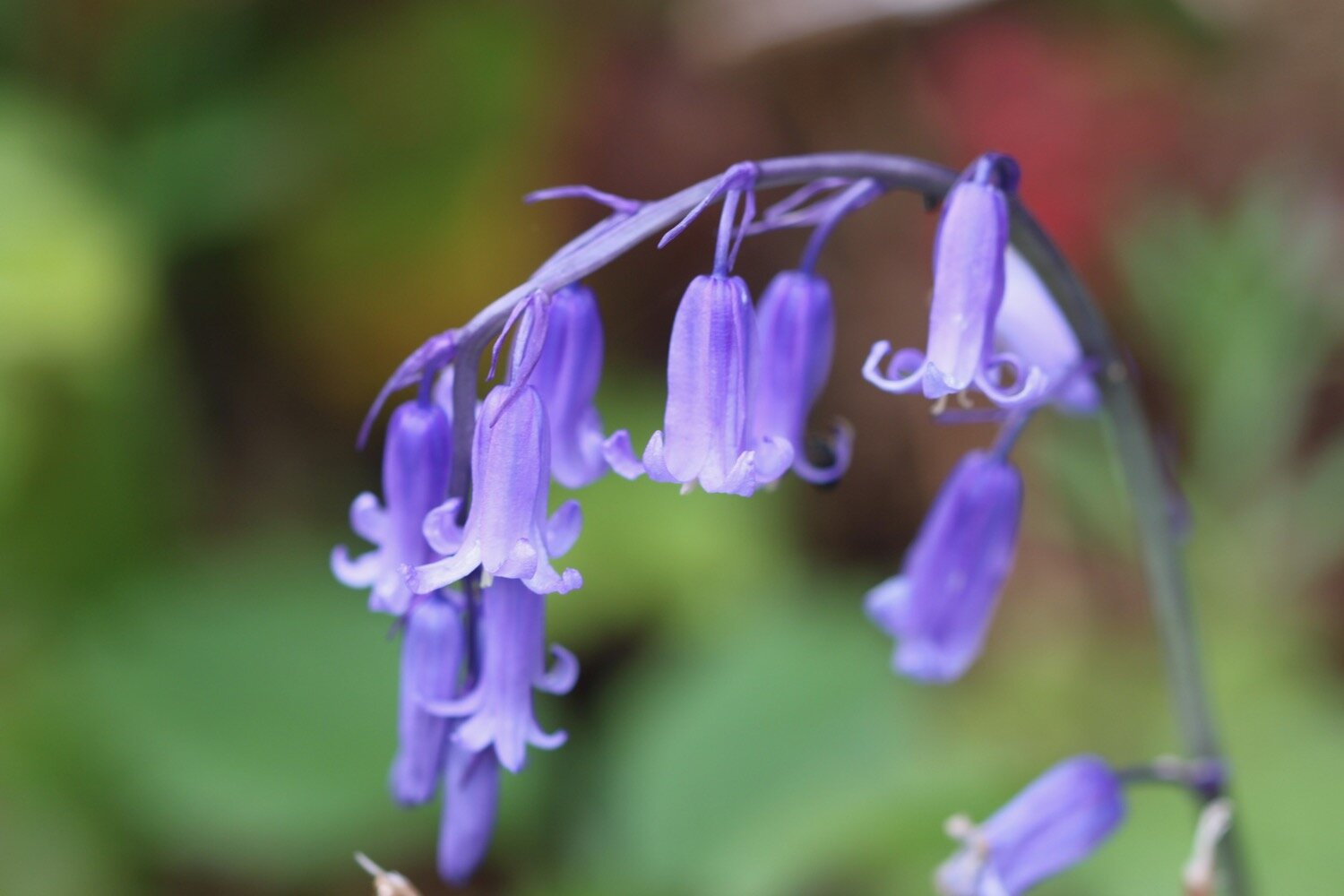
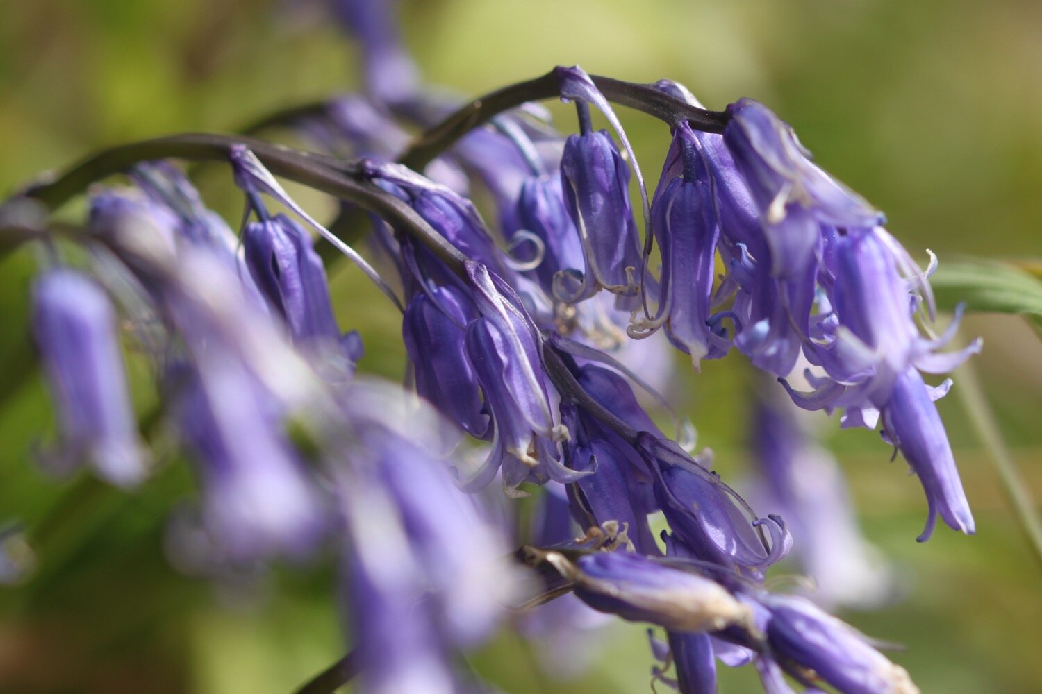
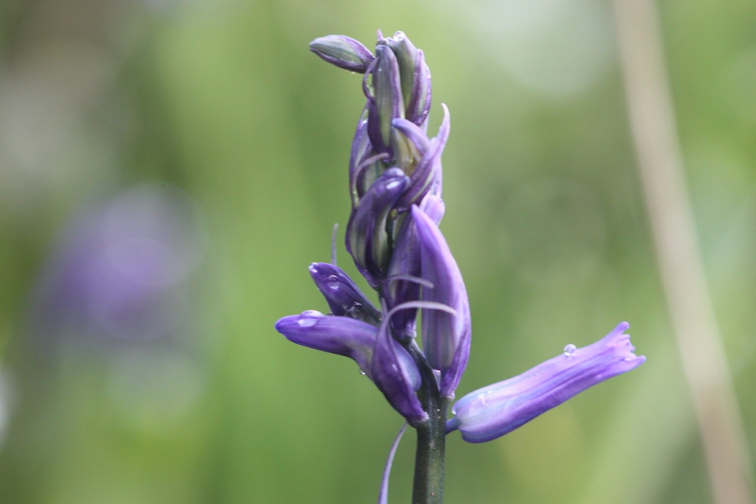
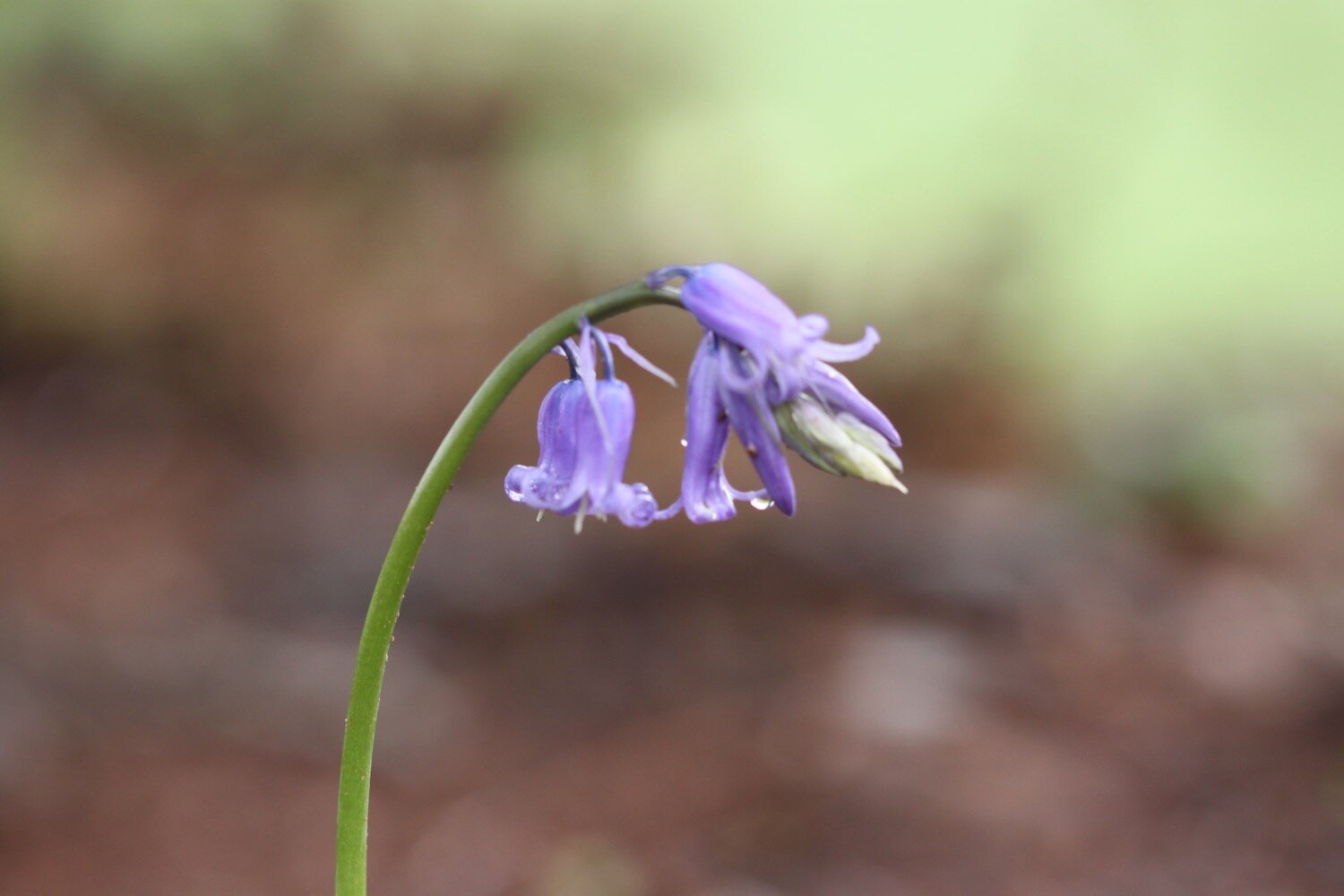
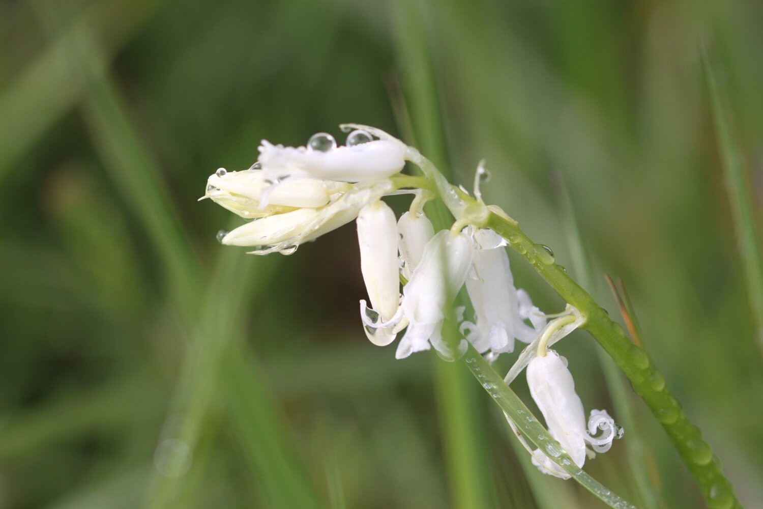
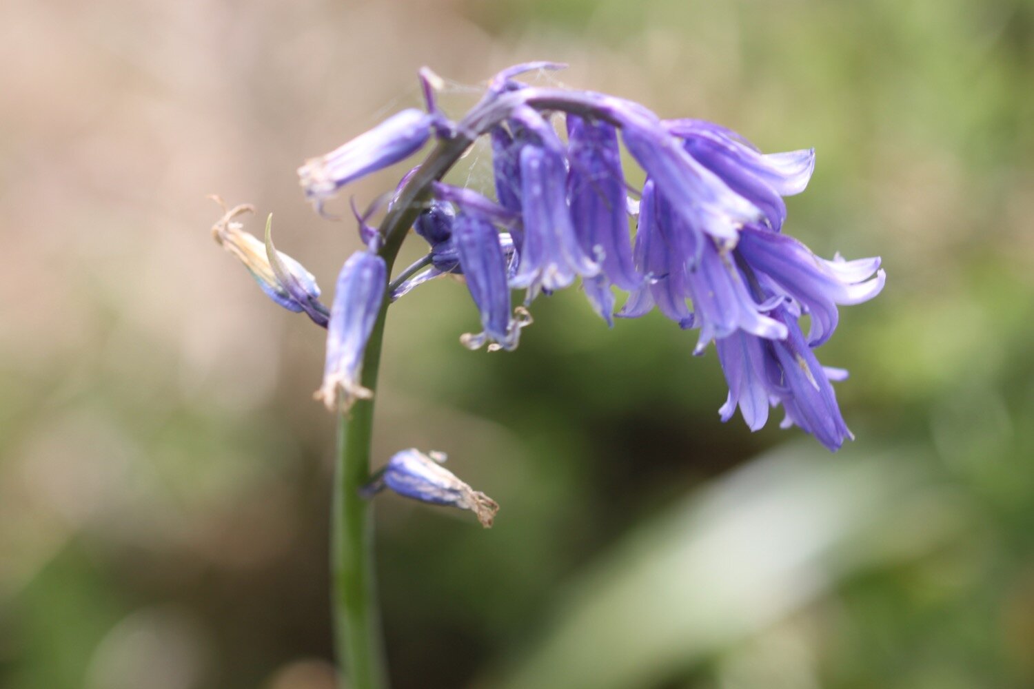
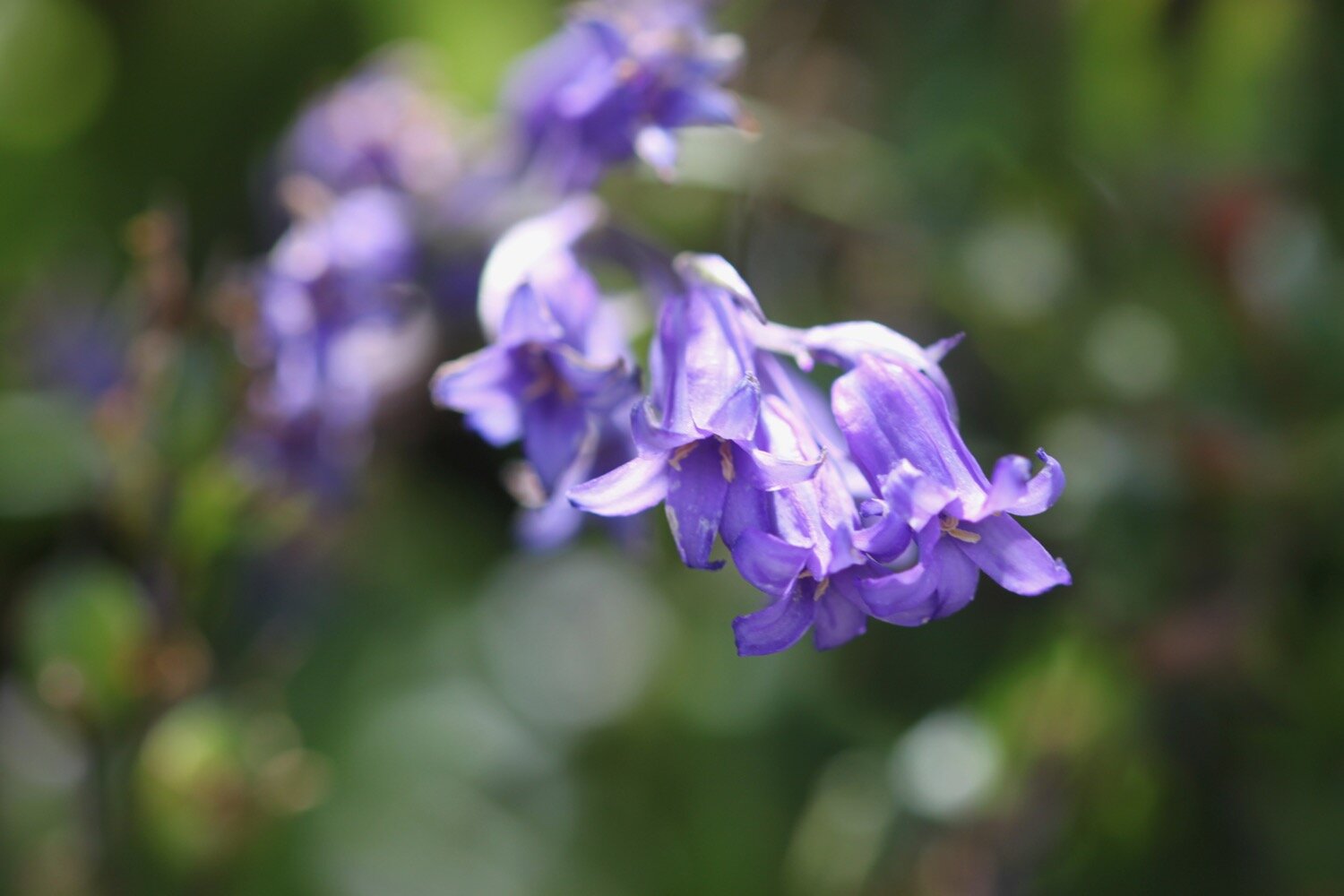
bluebells
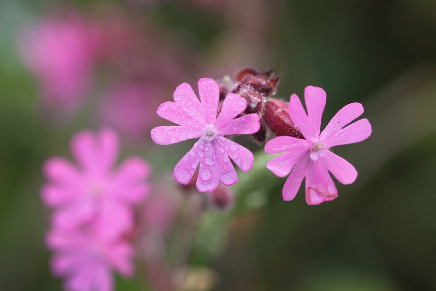
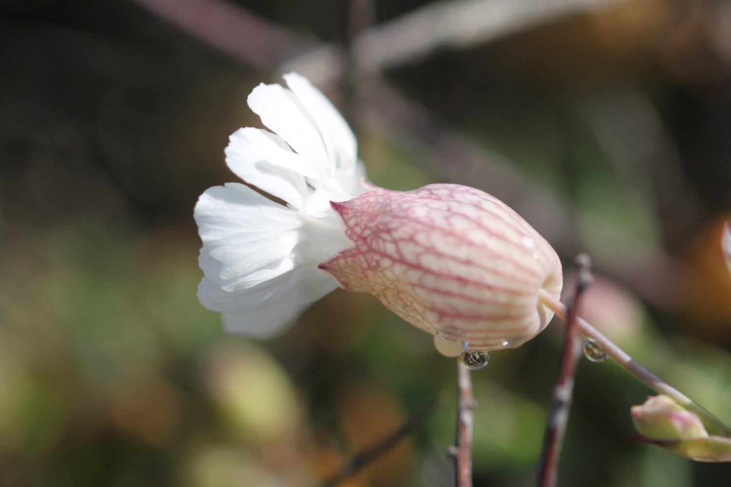
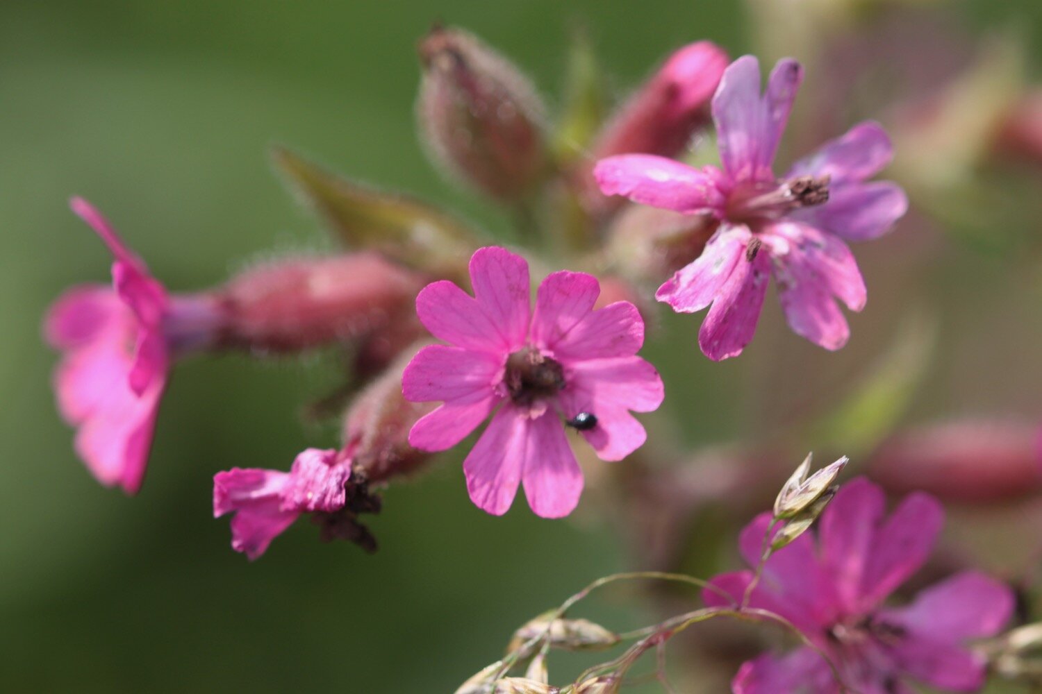
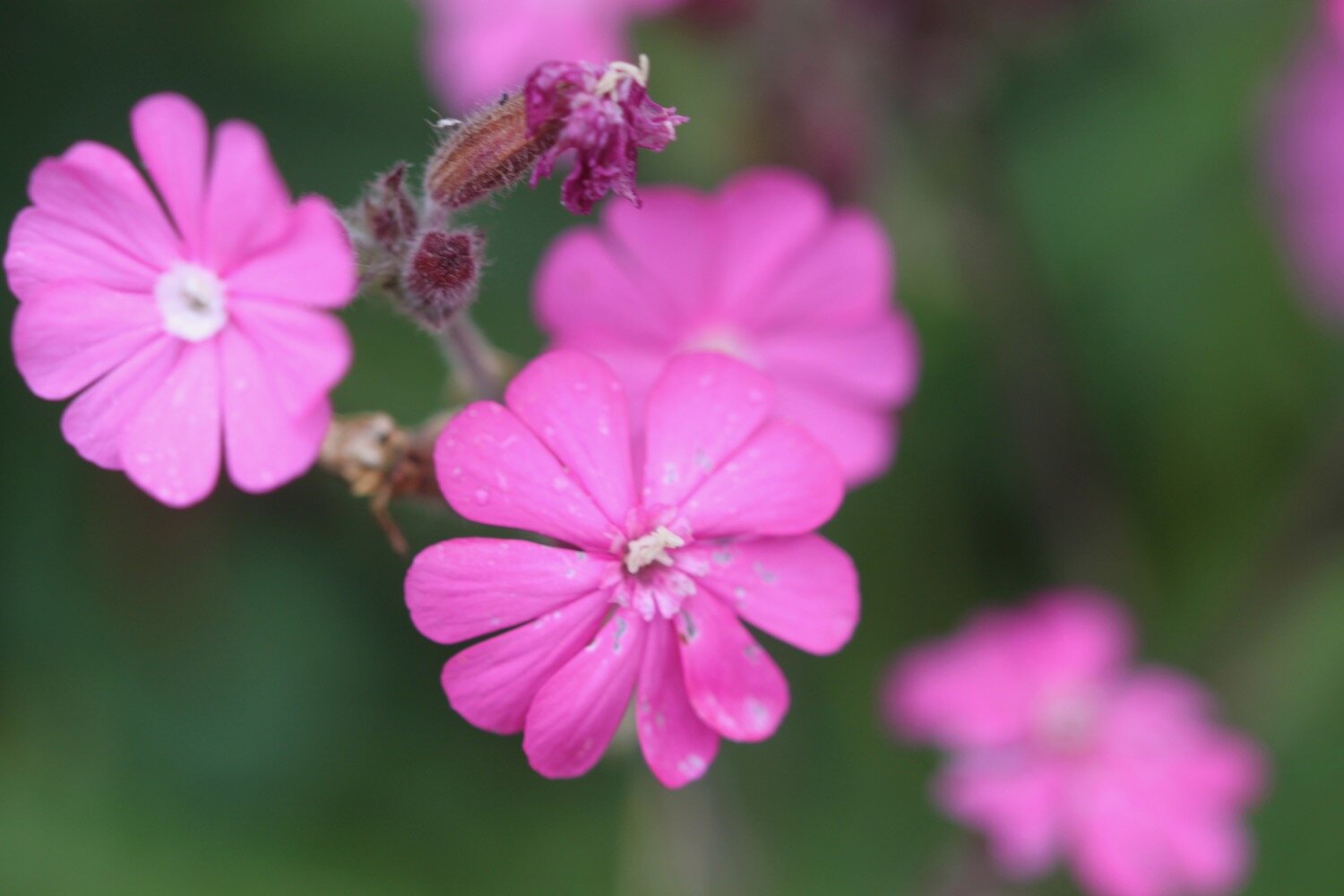
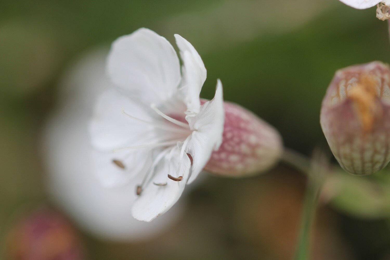
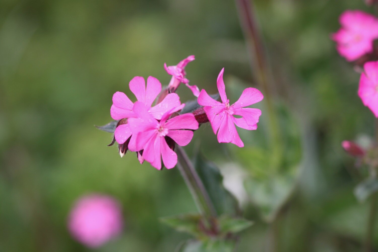
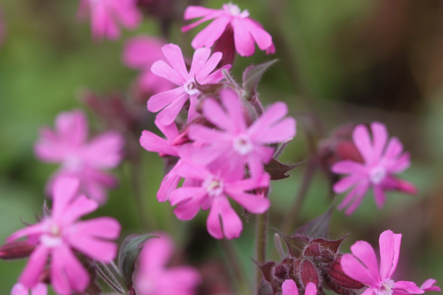
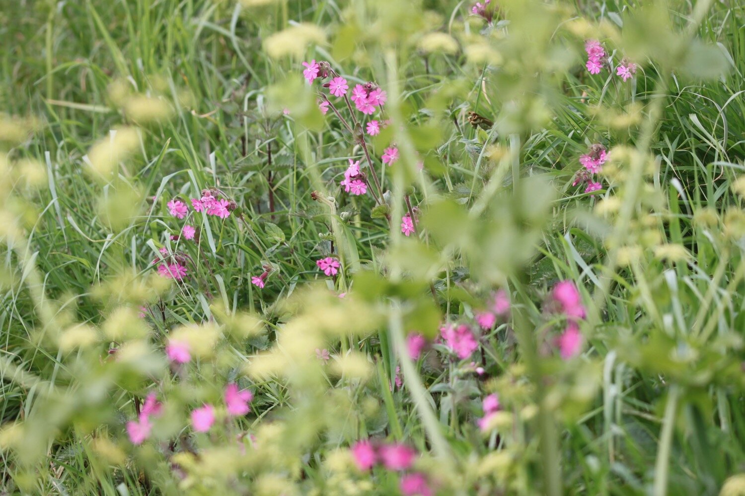
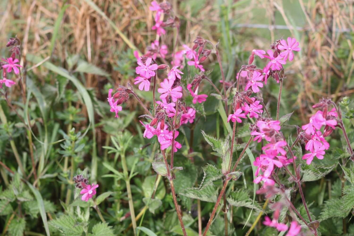
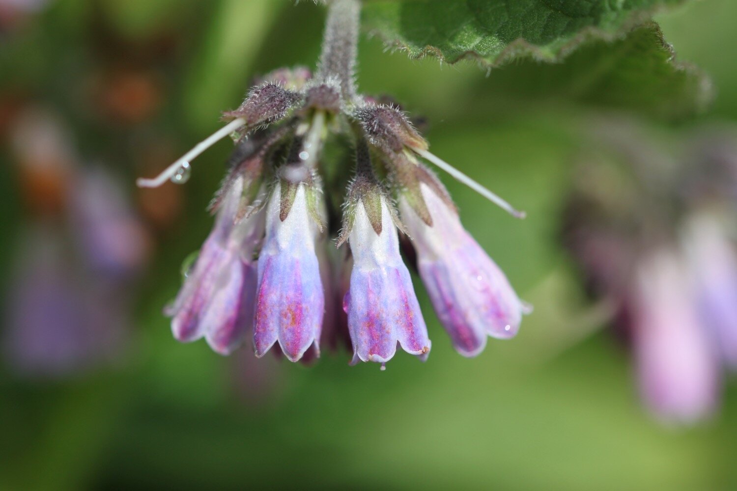
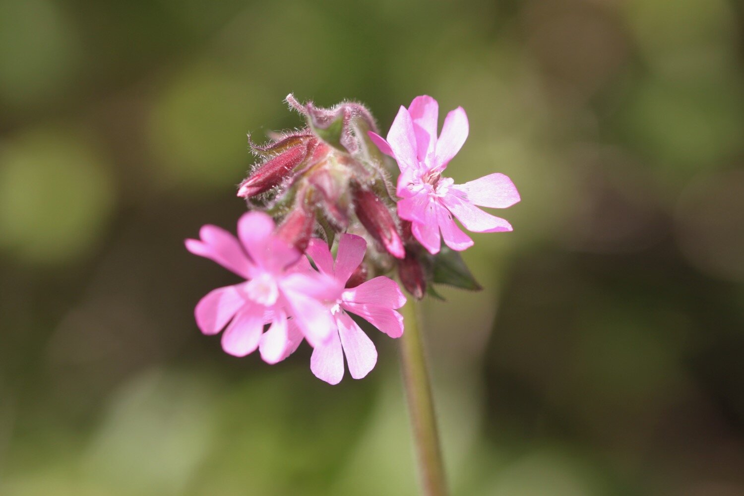
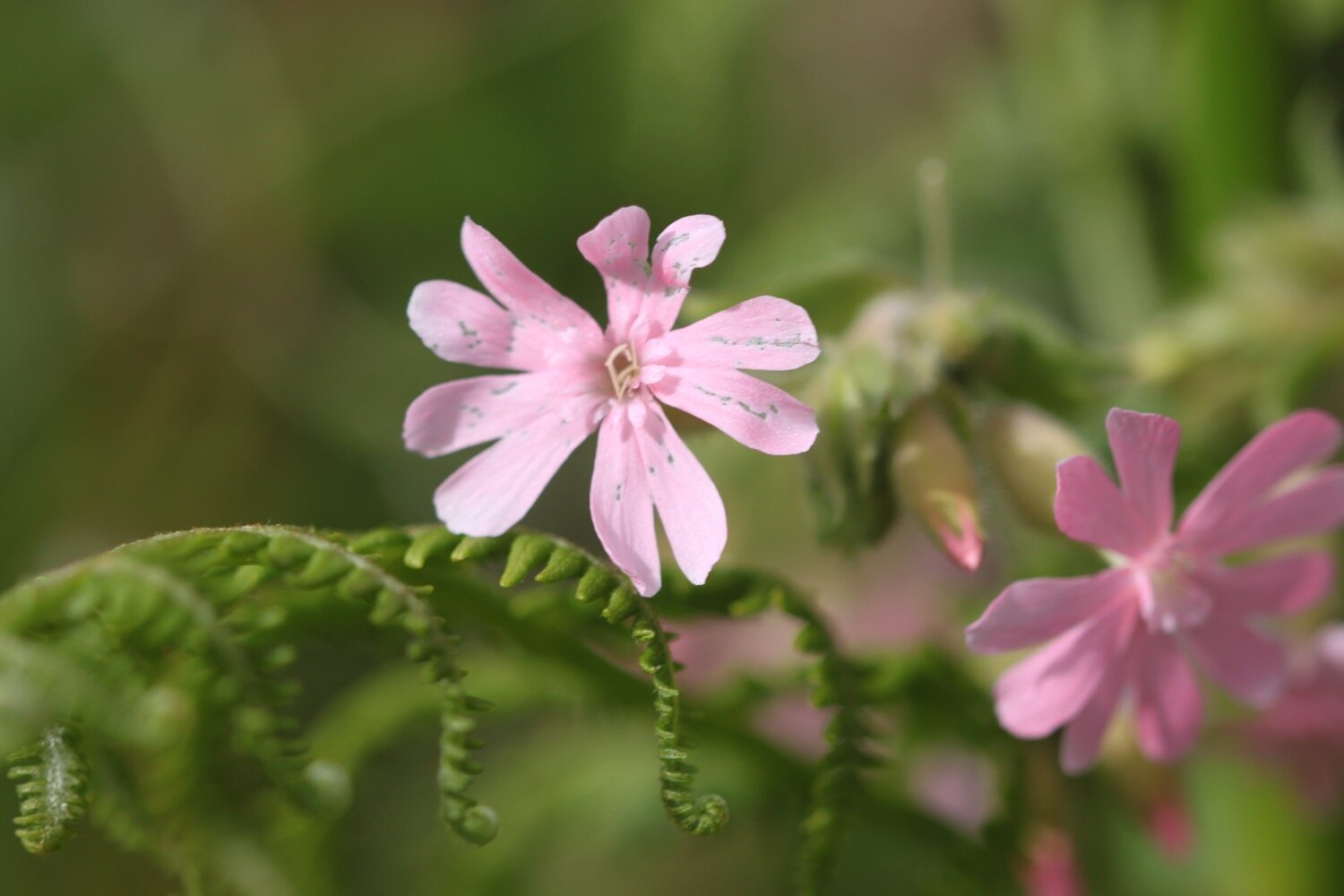
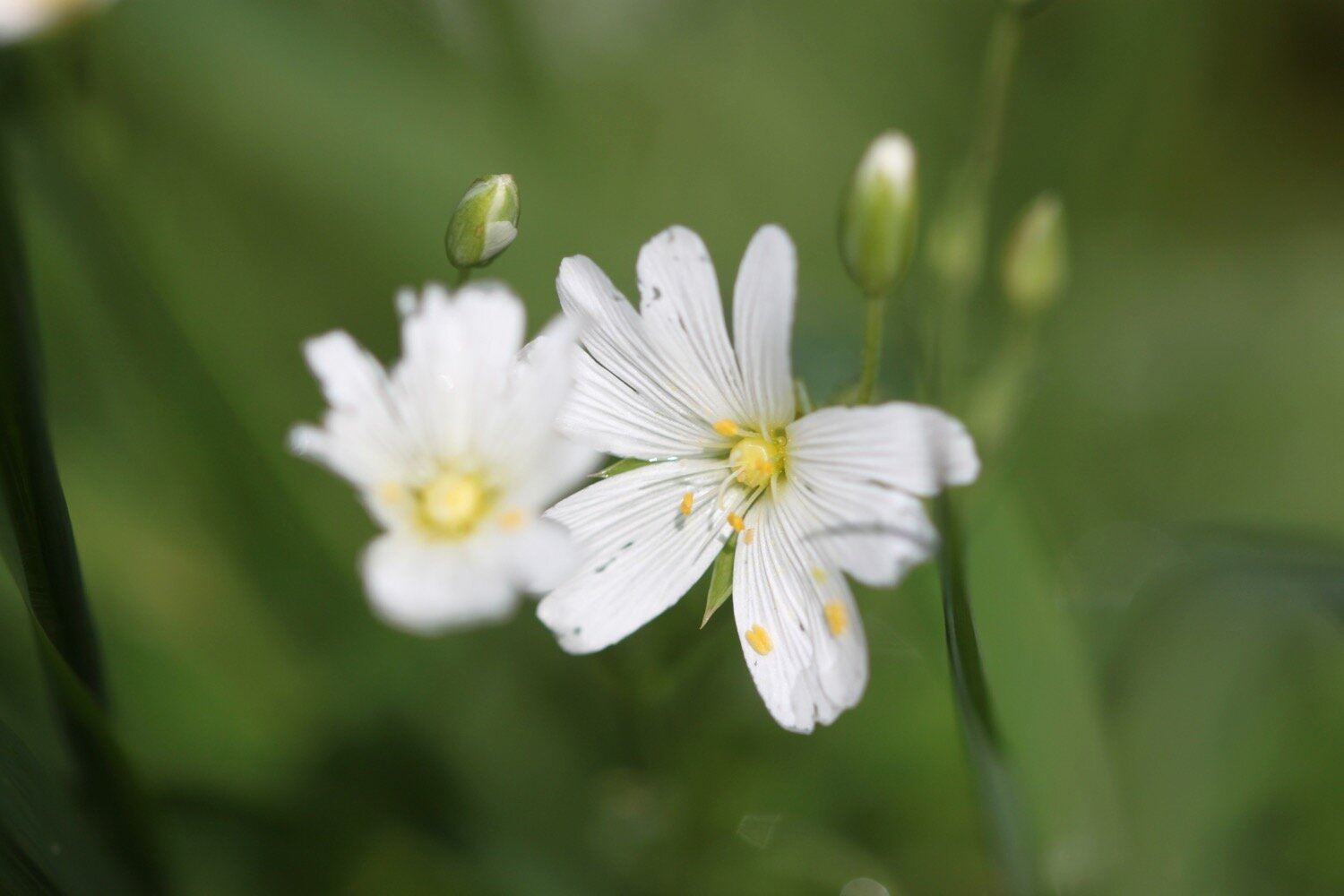
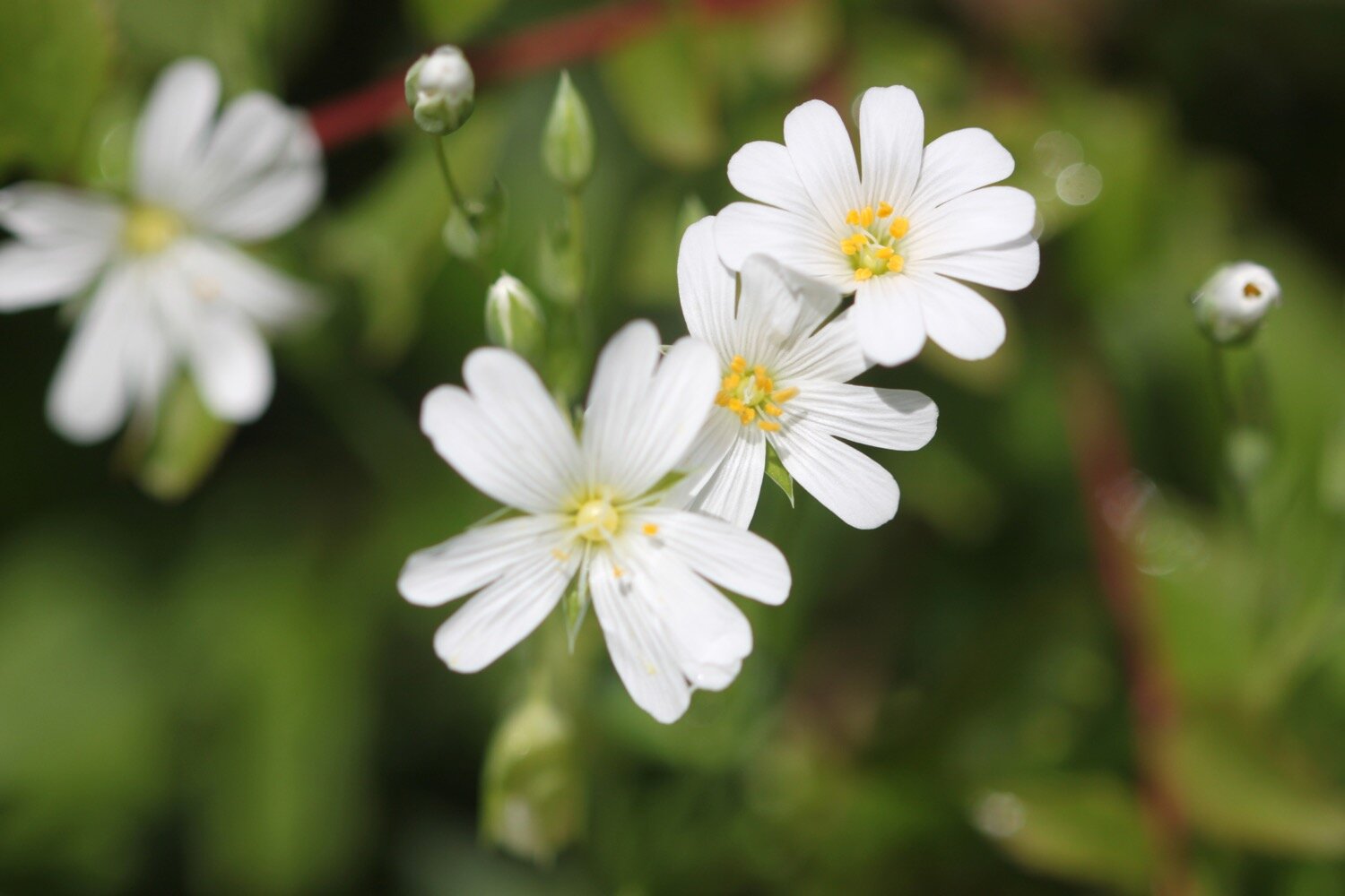
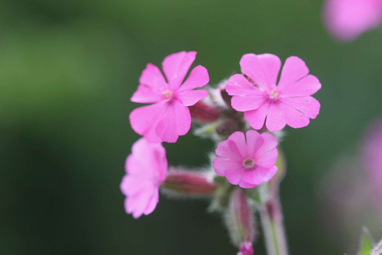
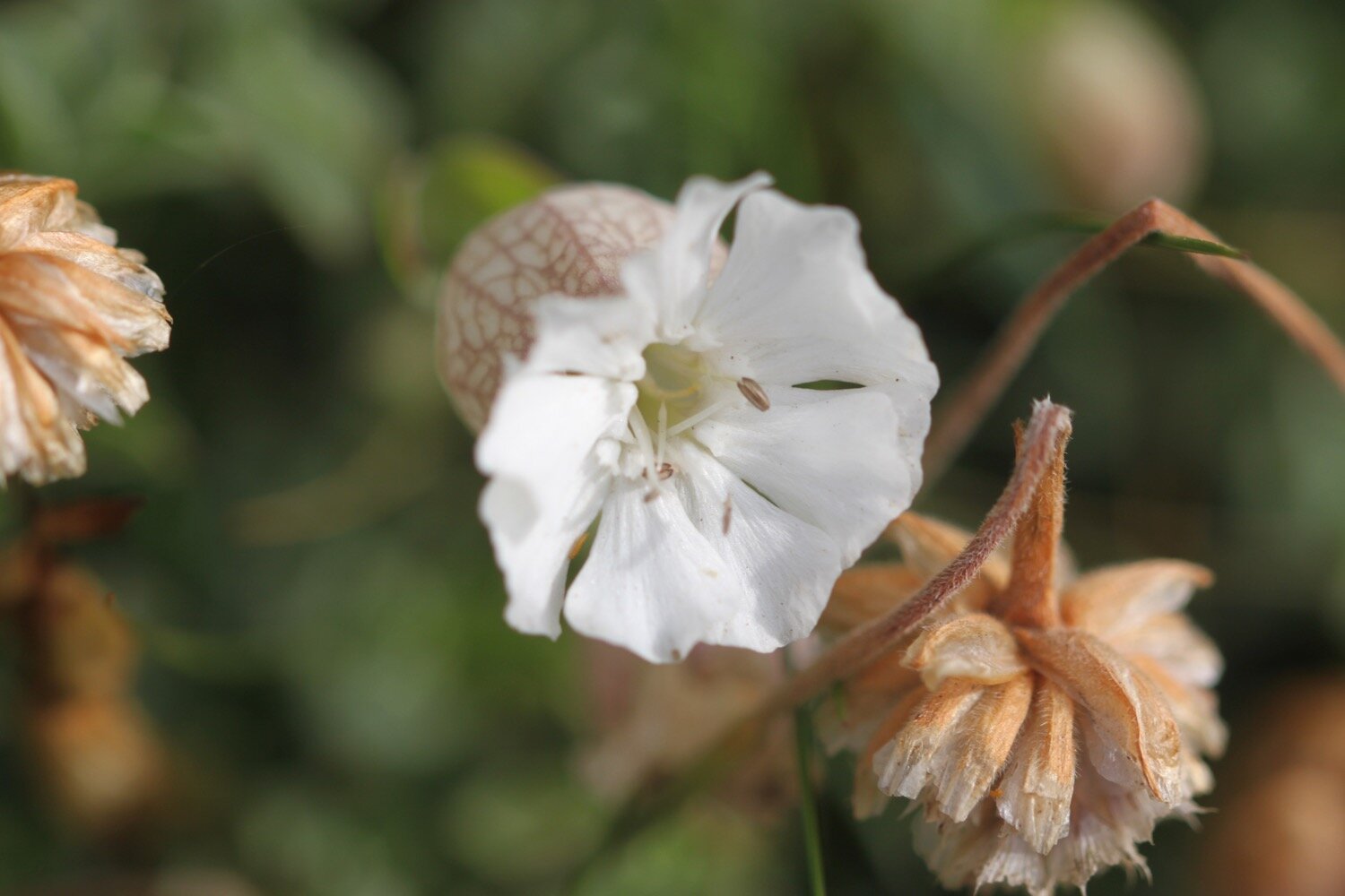
red and white campion
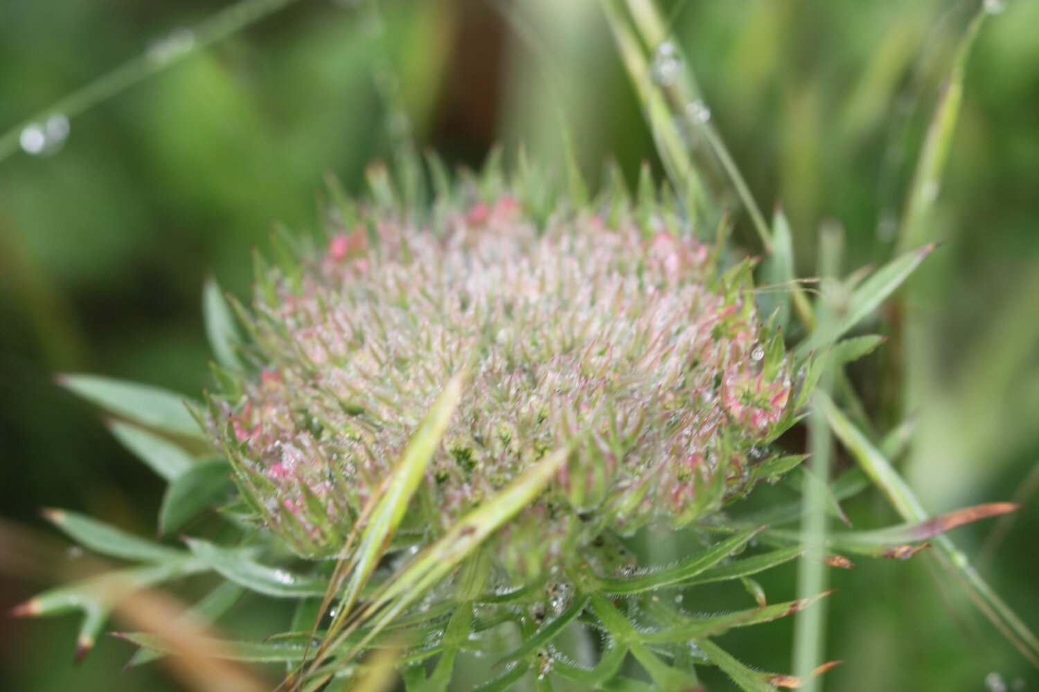
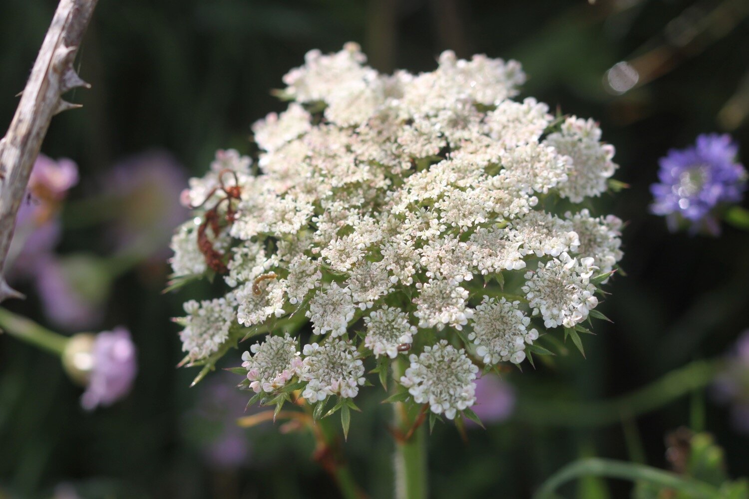
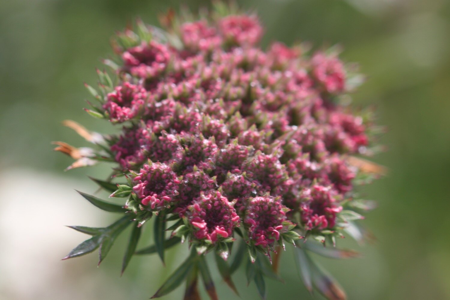
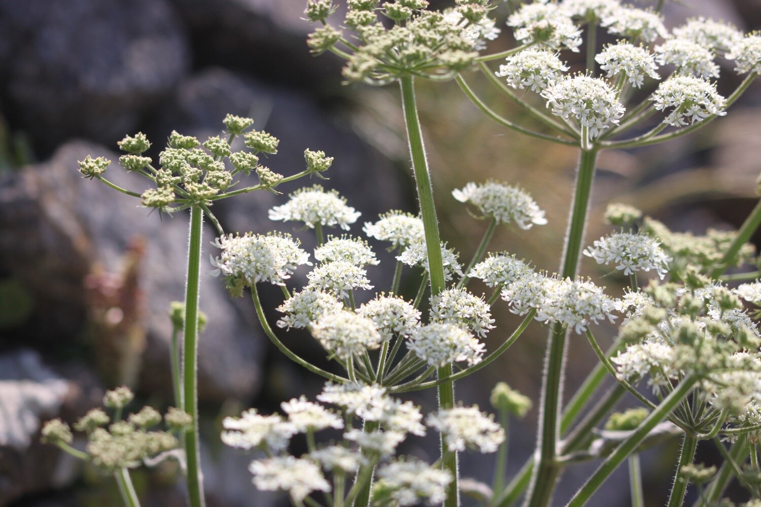
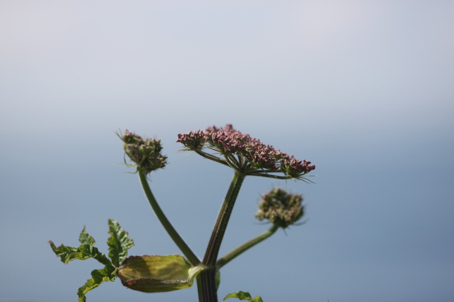
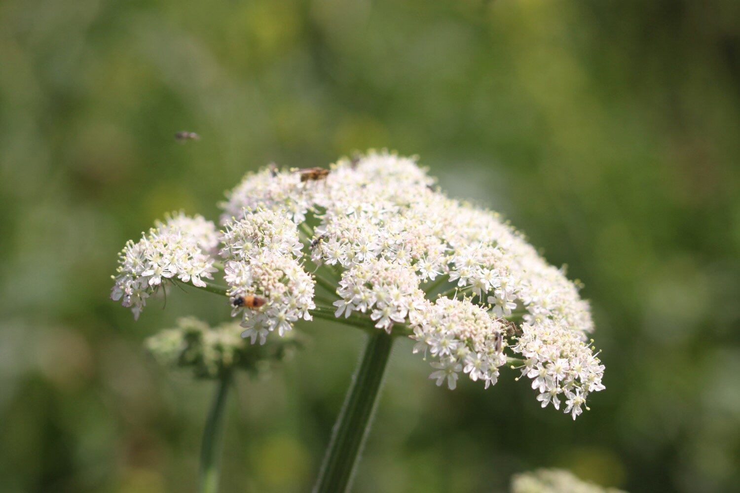
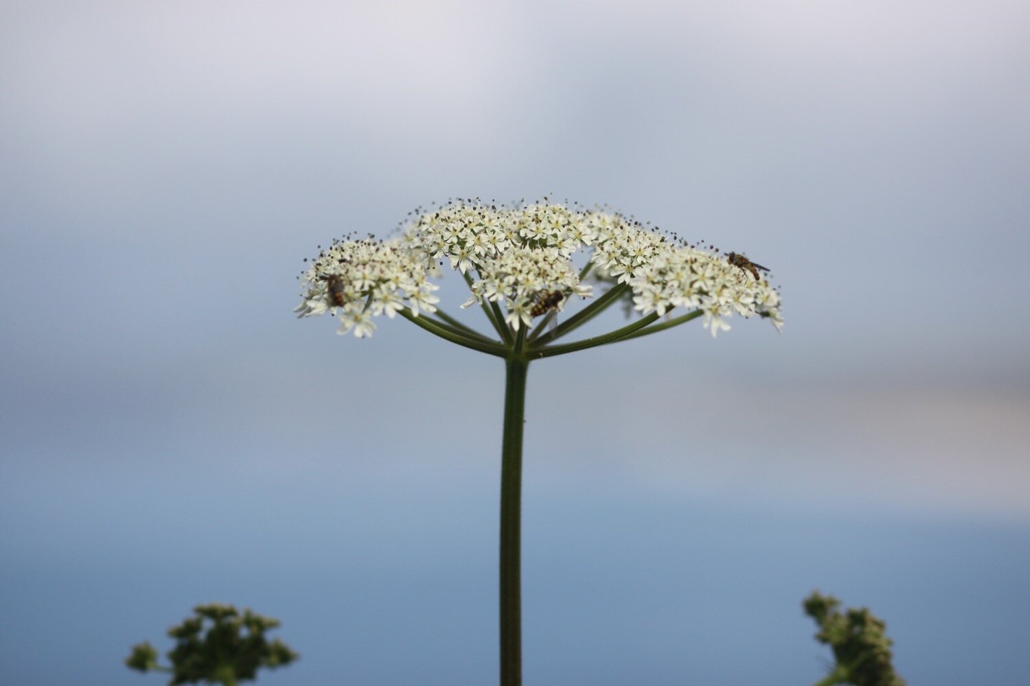
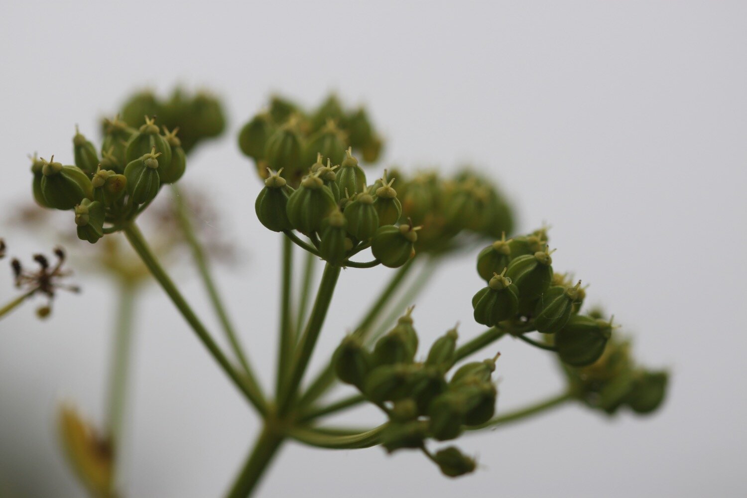
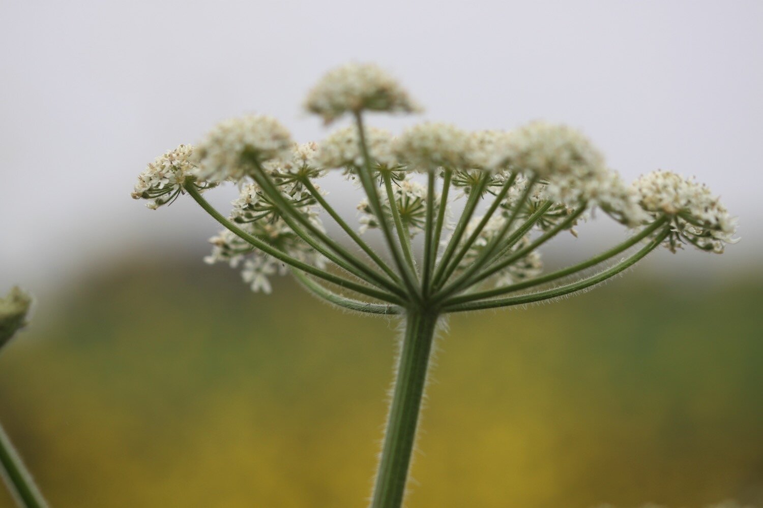
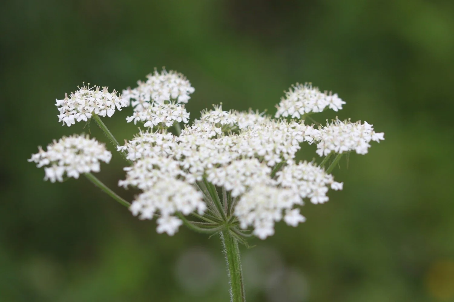
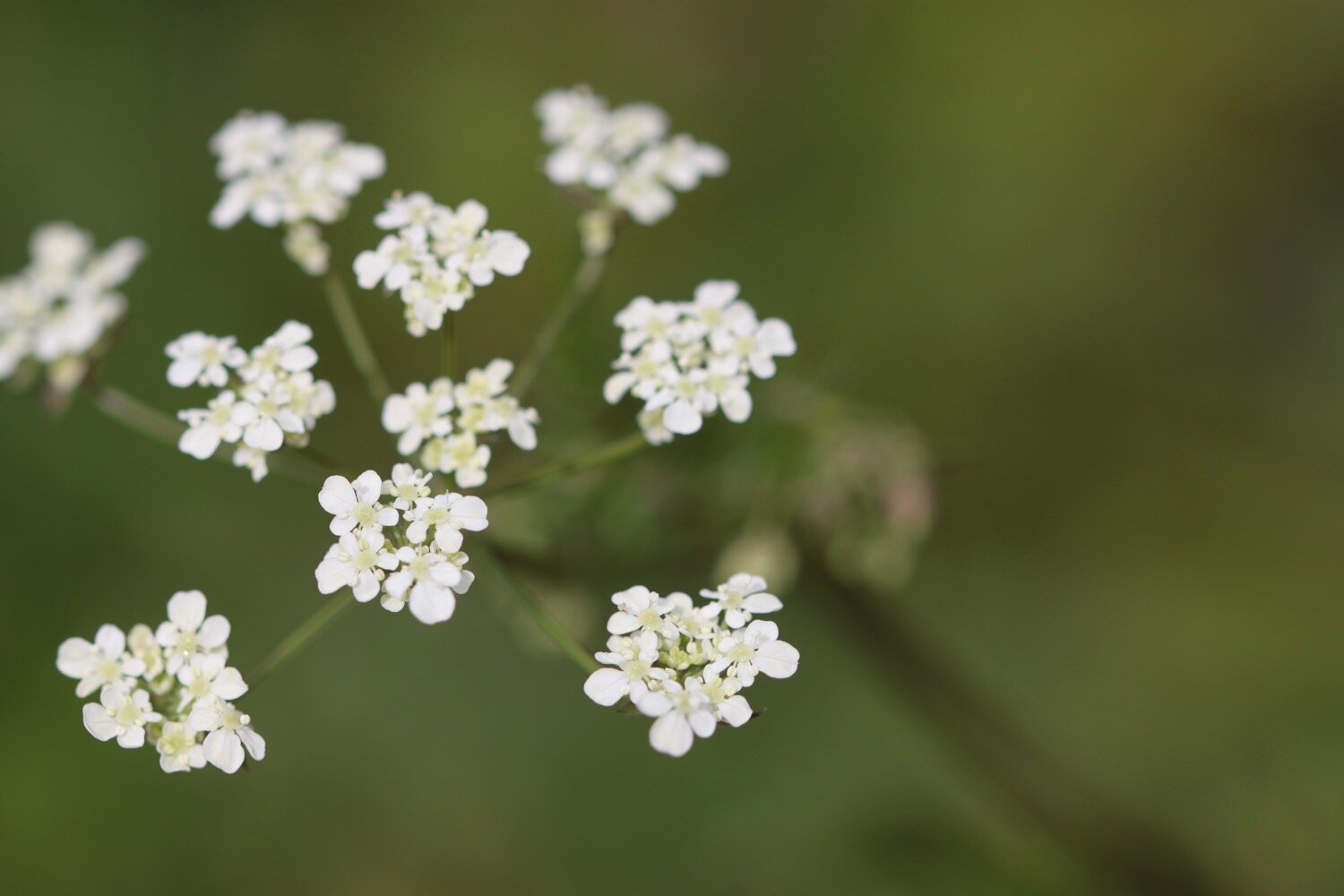
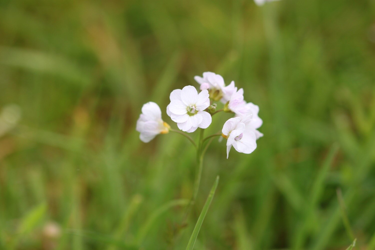
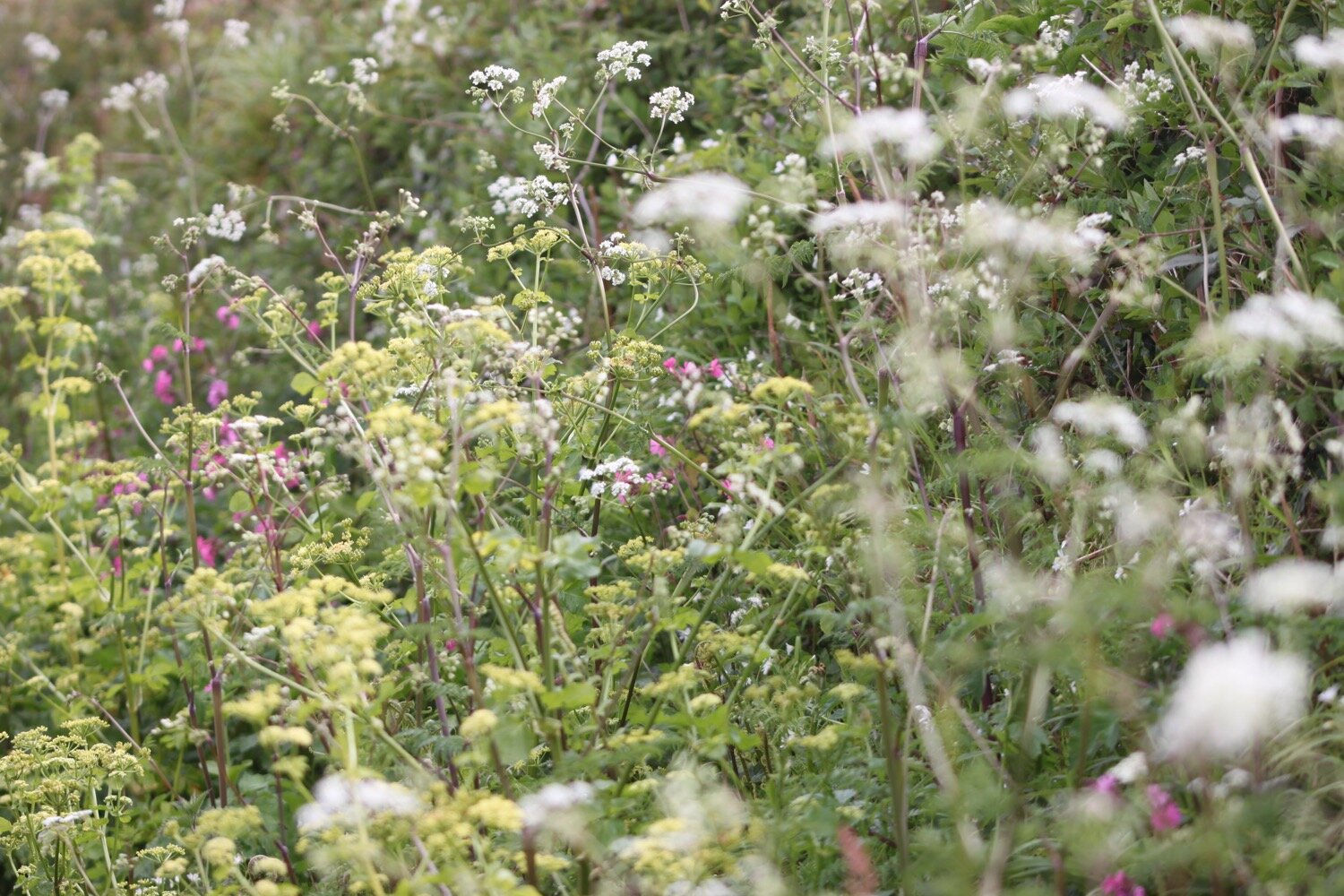
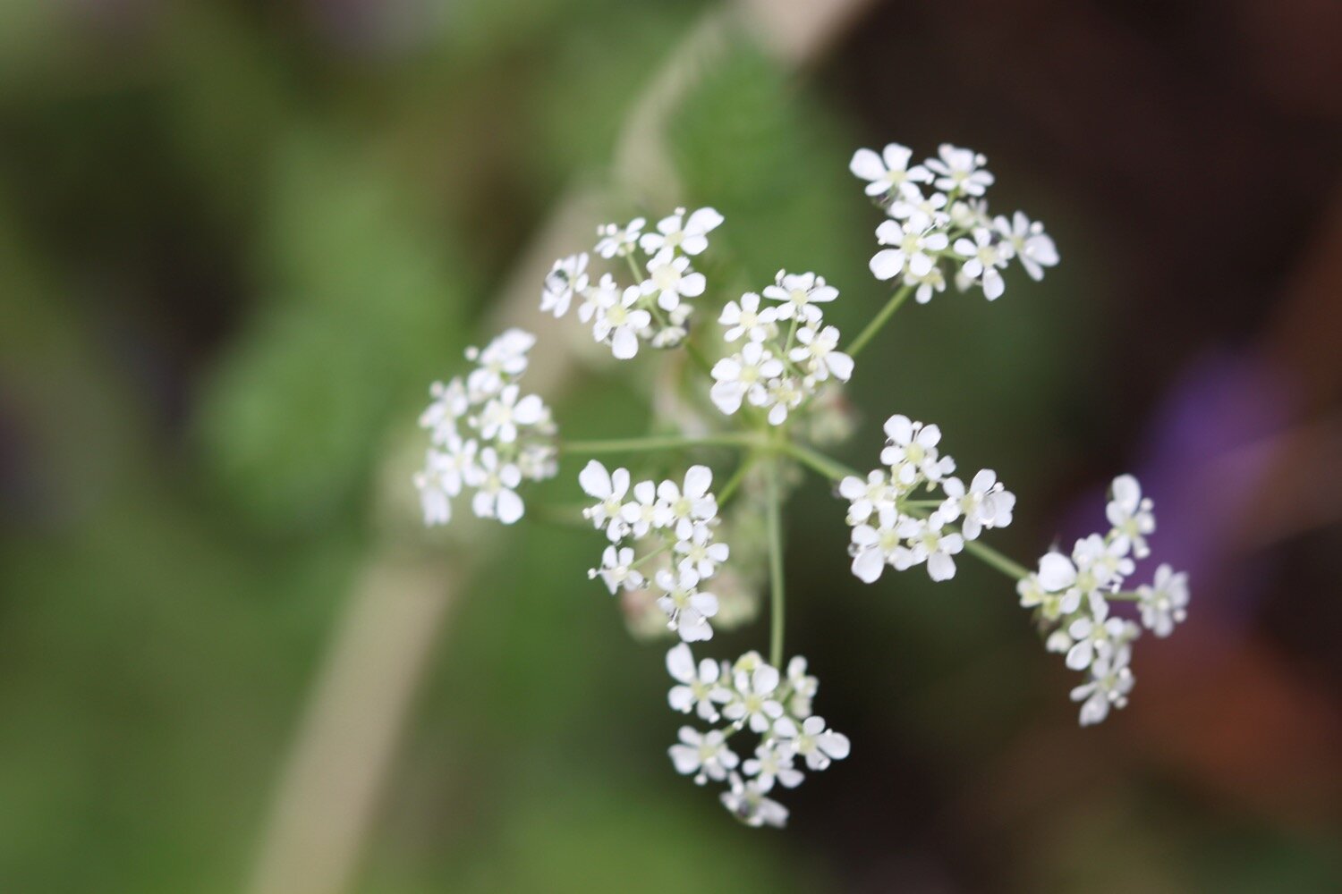
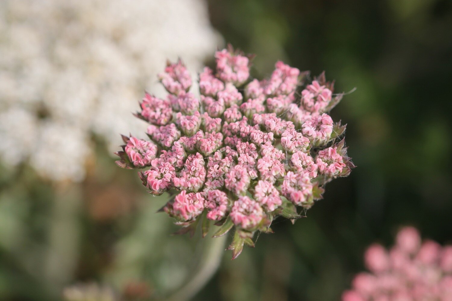
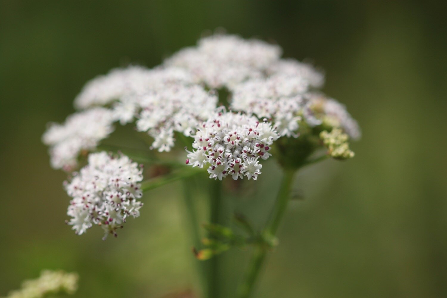
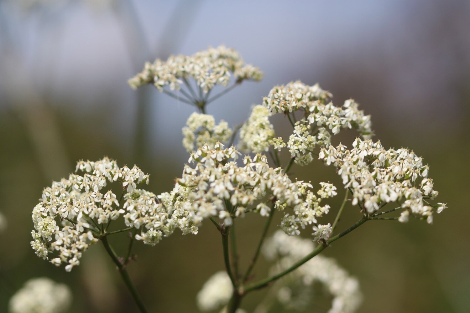
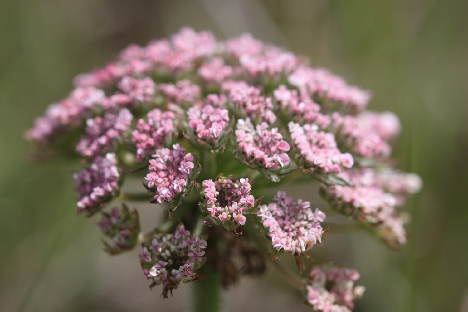
wild carrot
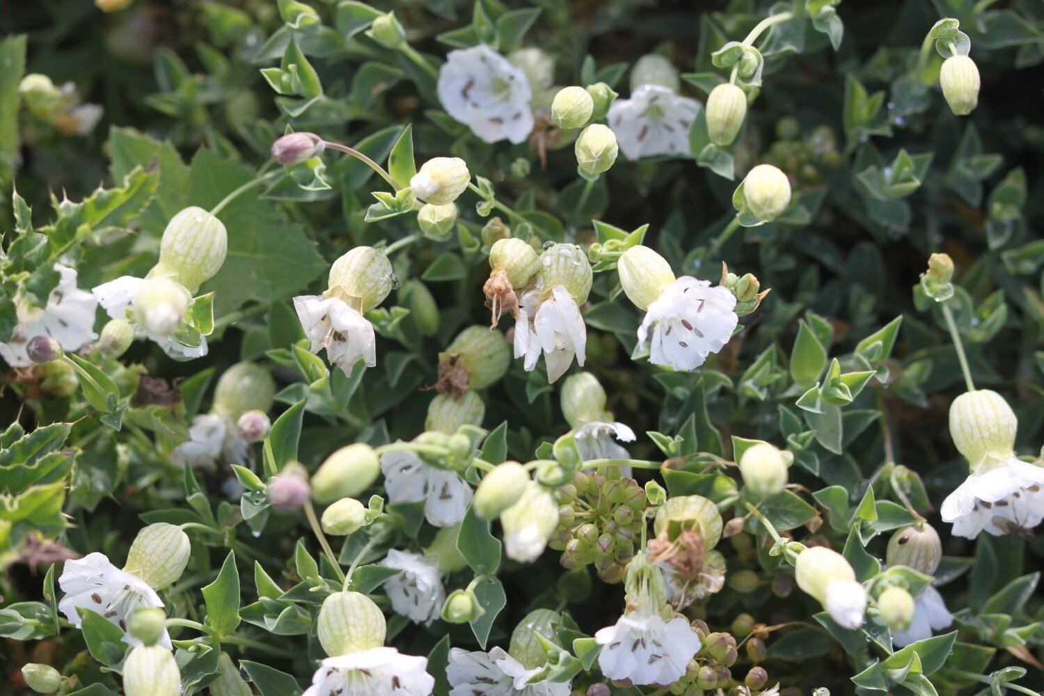
bladder campion
cows
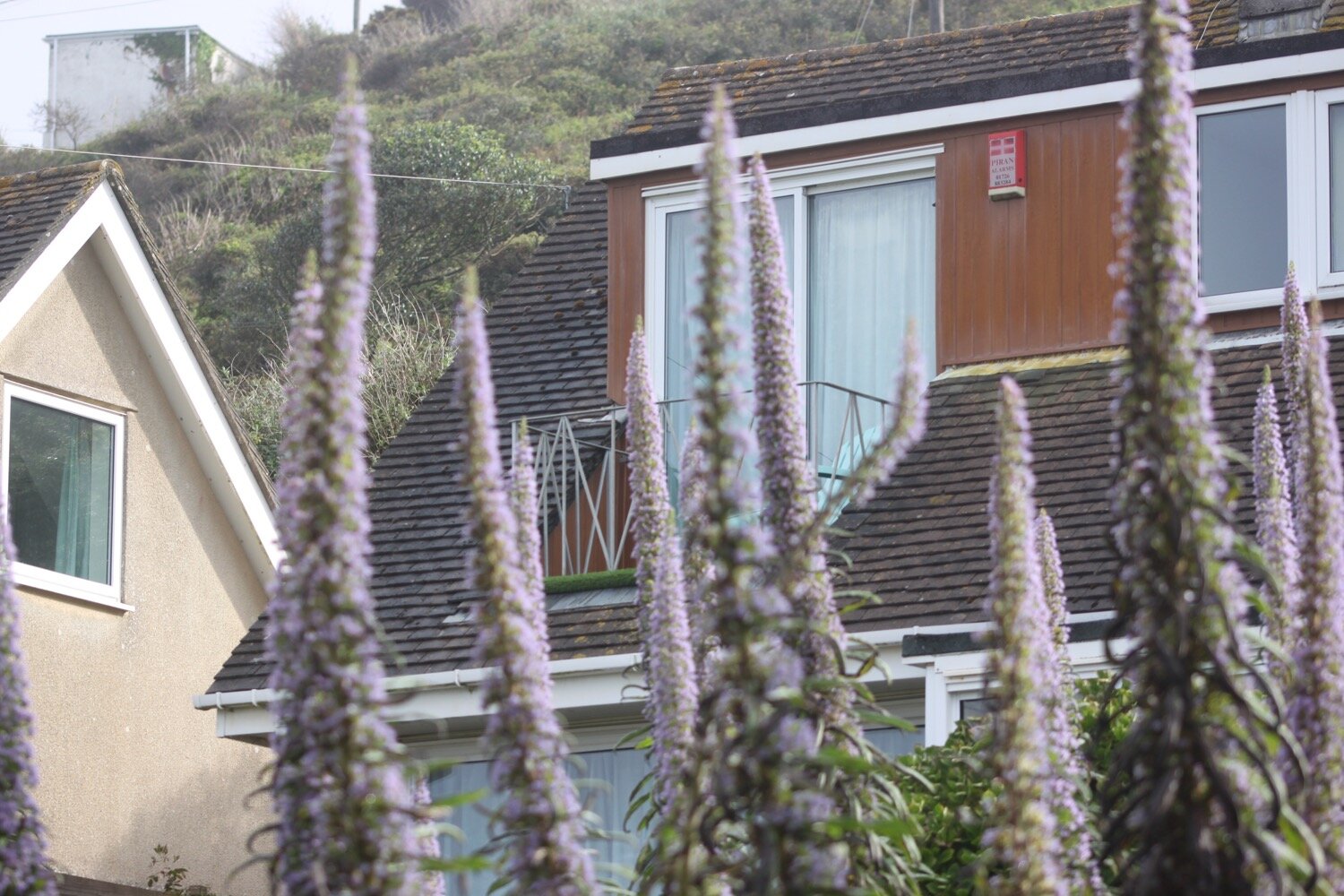
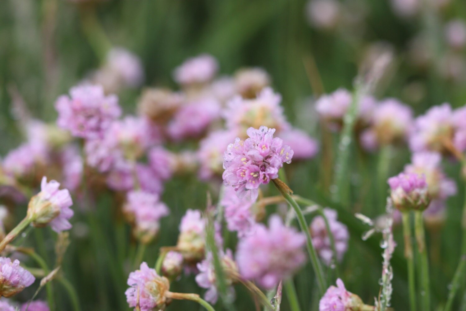
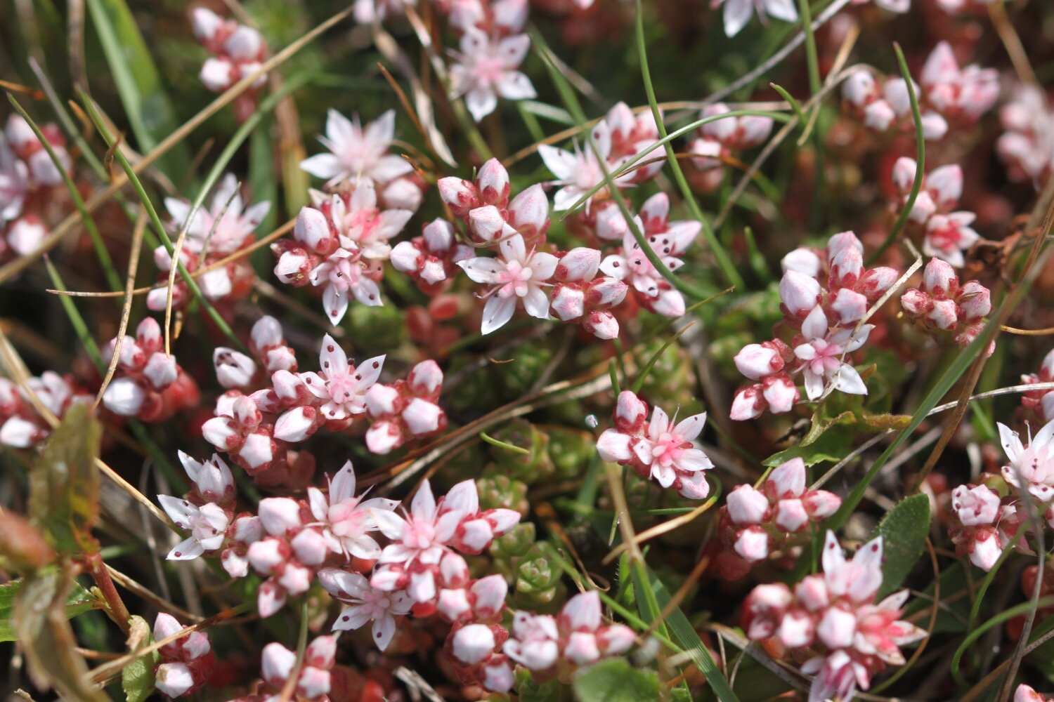
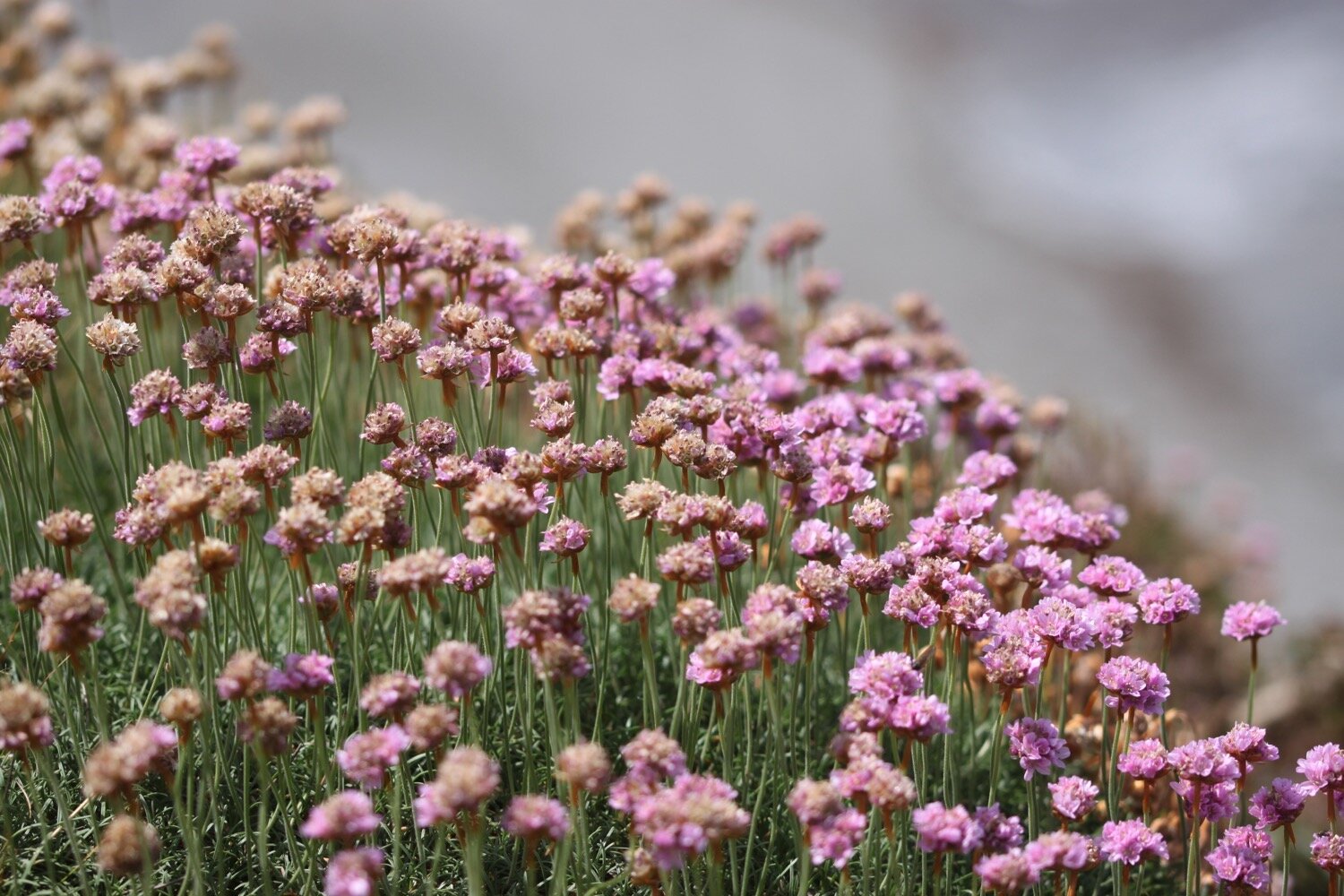
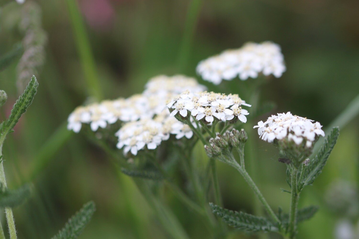
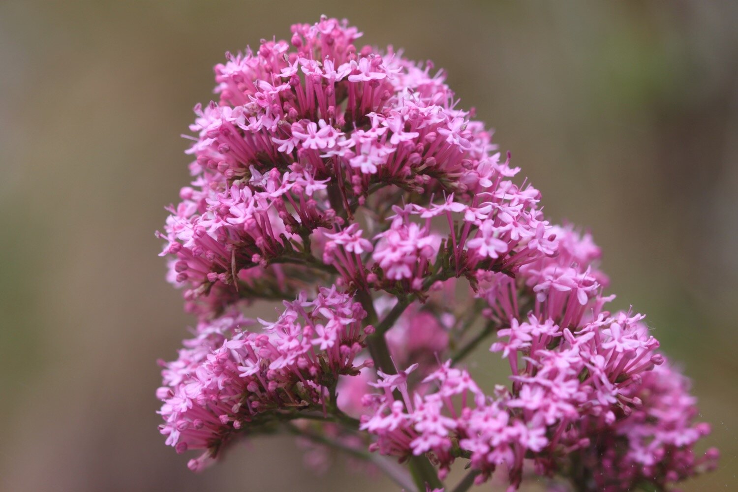
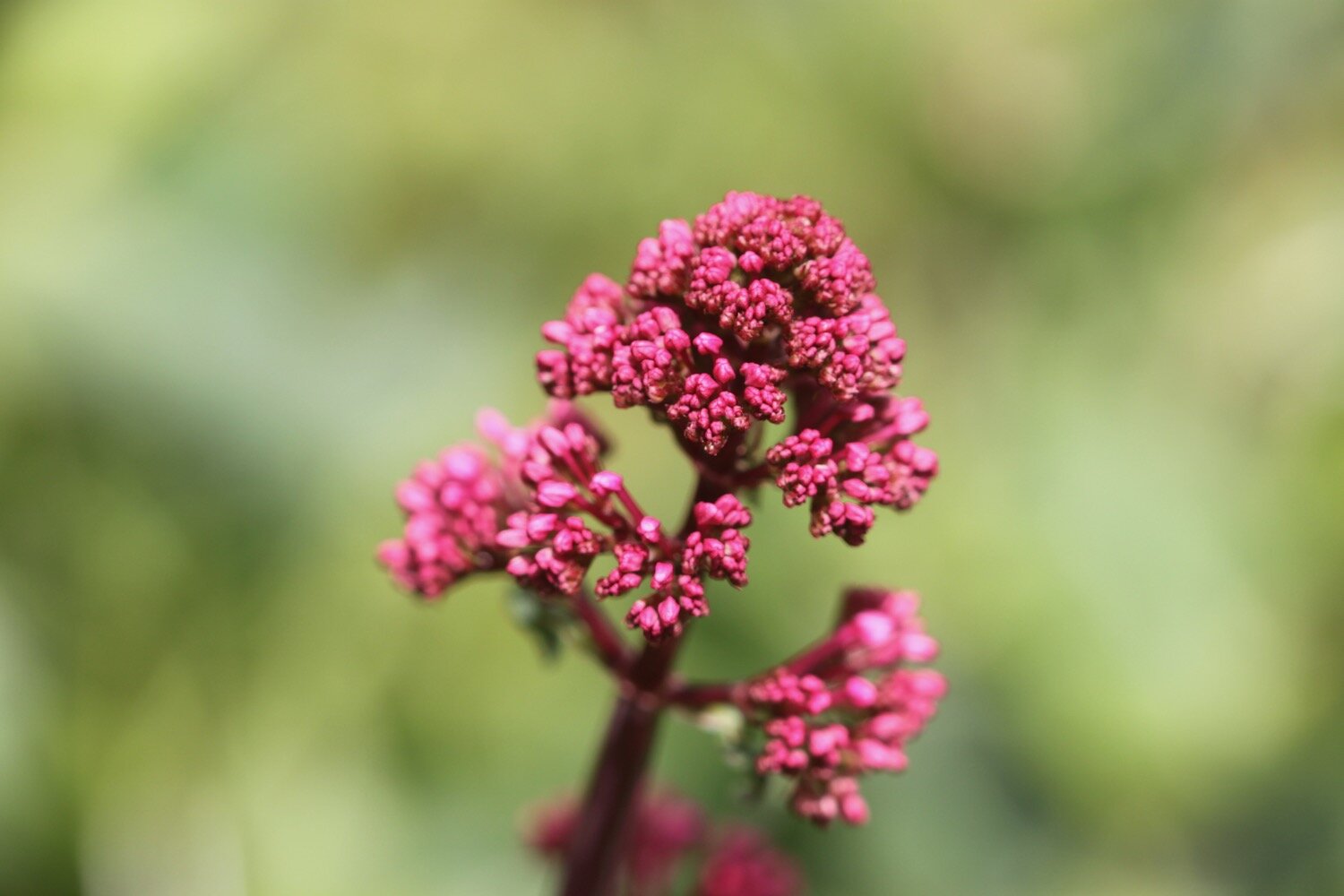
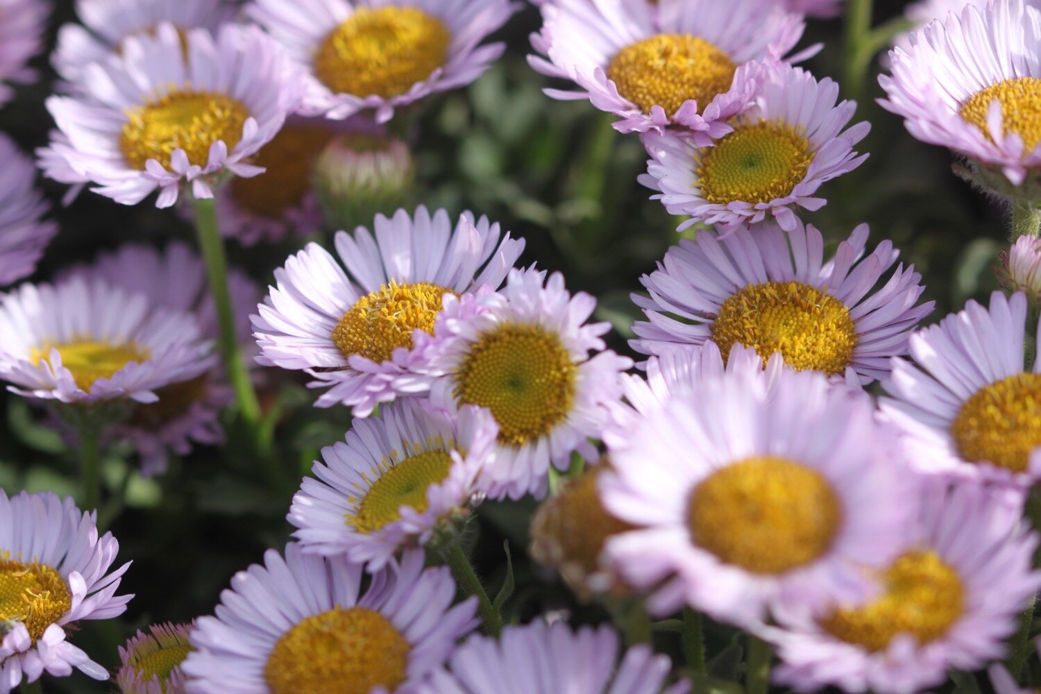
sea thrift
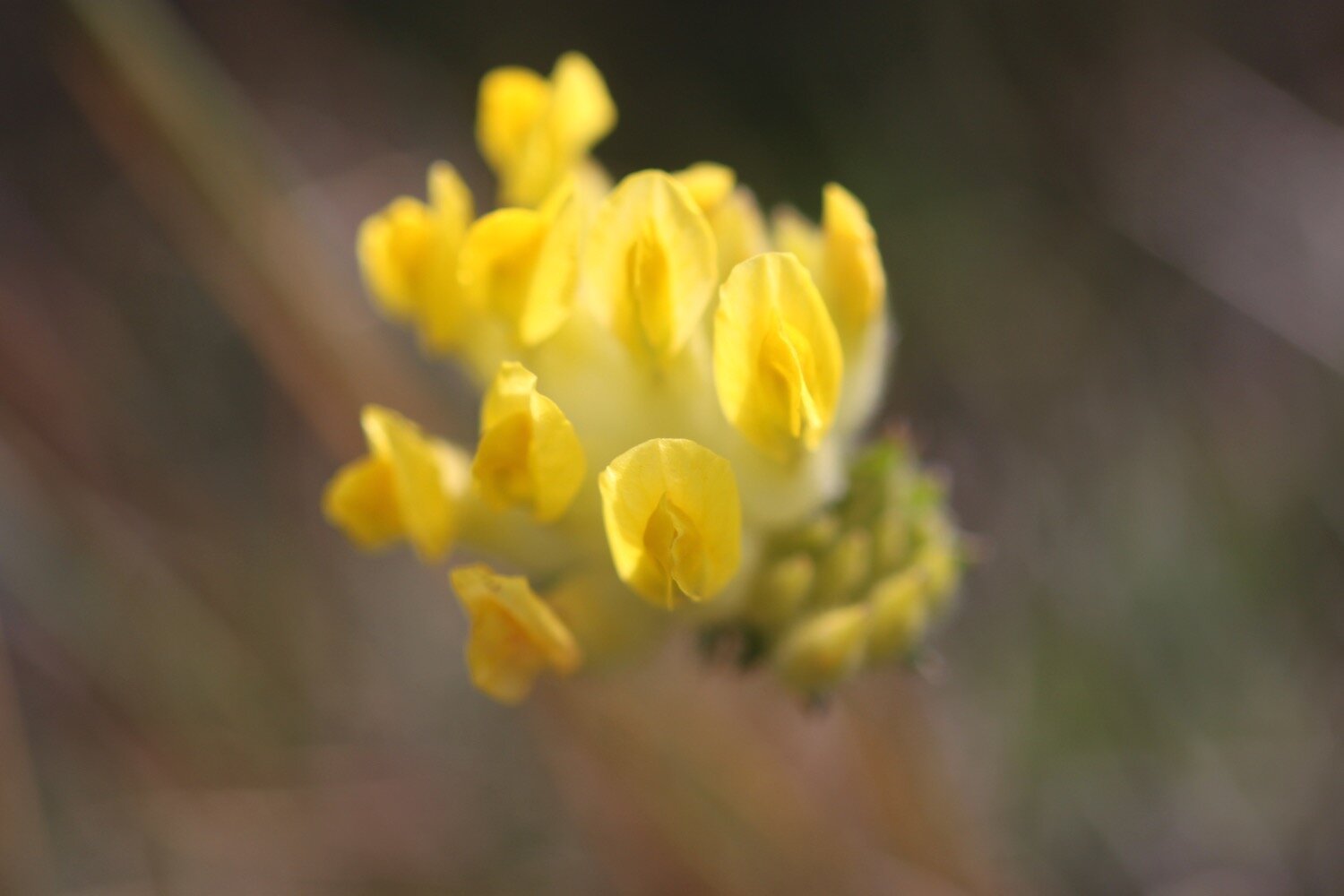
kidney vetch
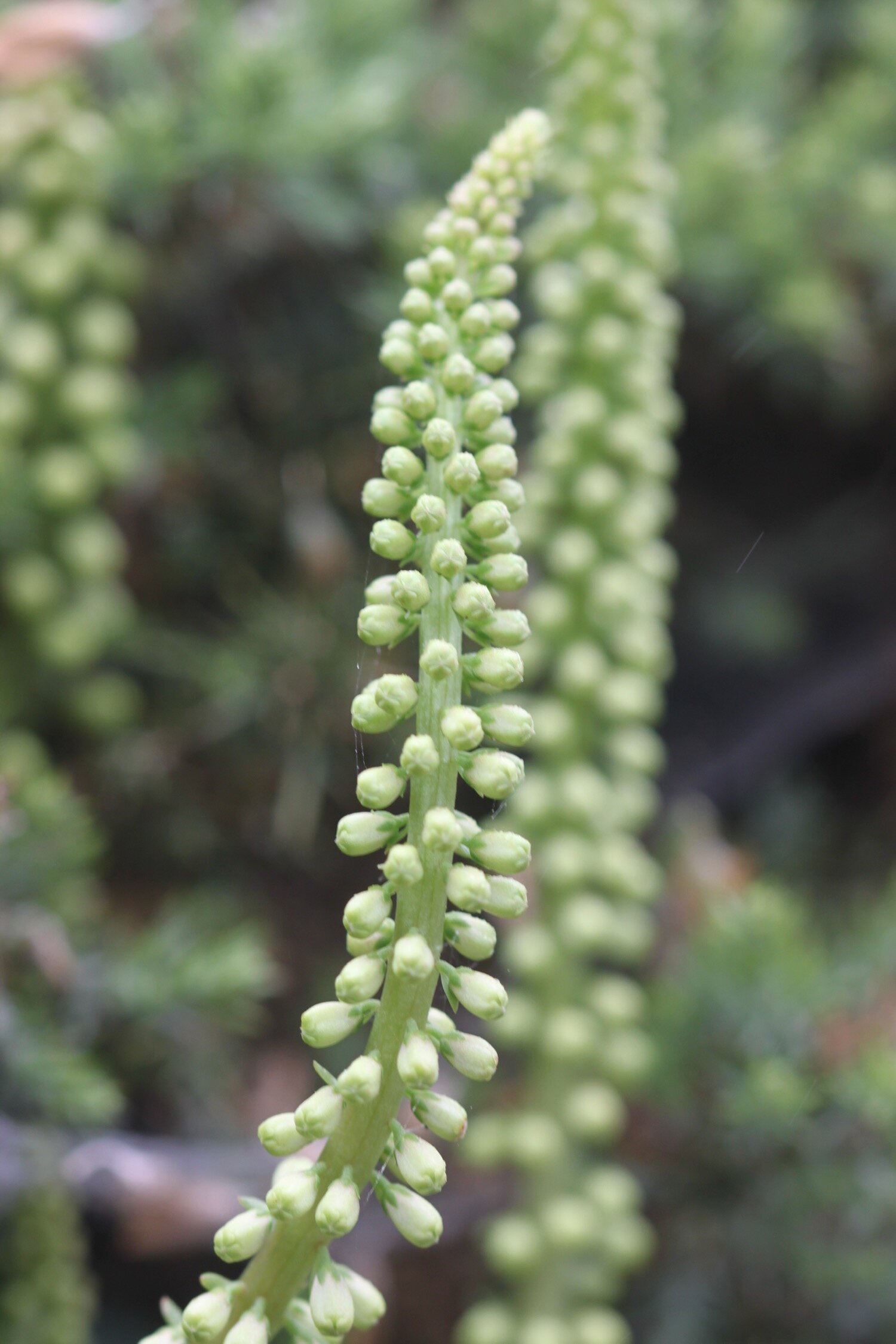
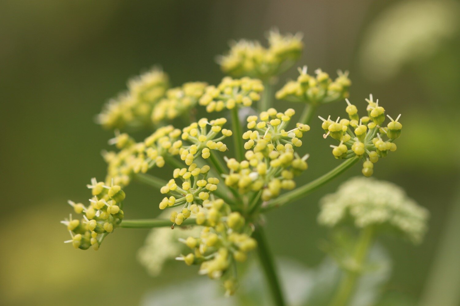
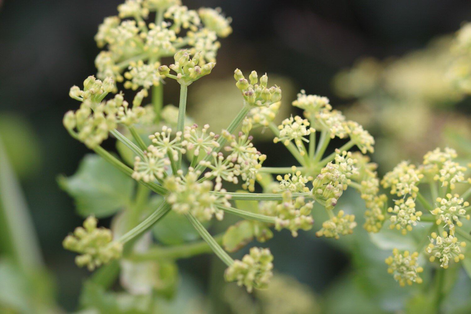
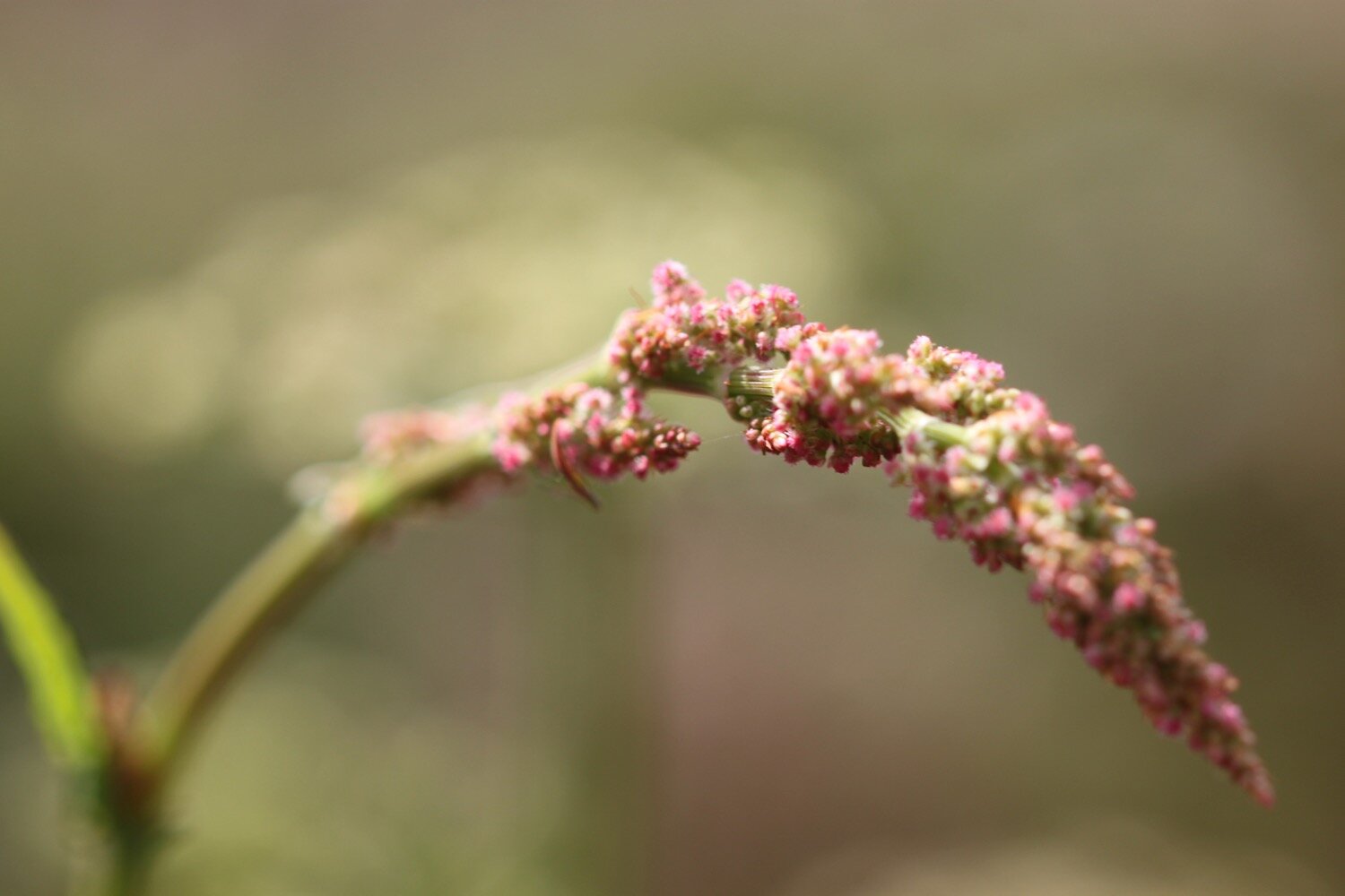
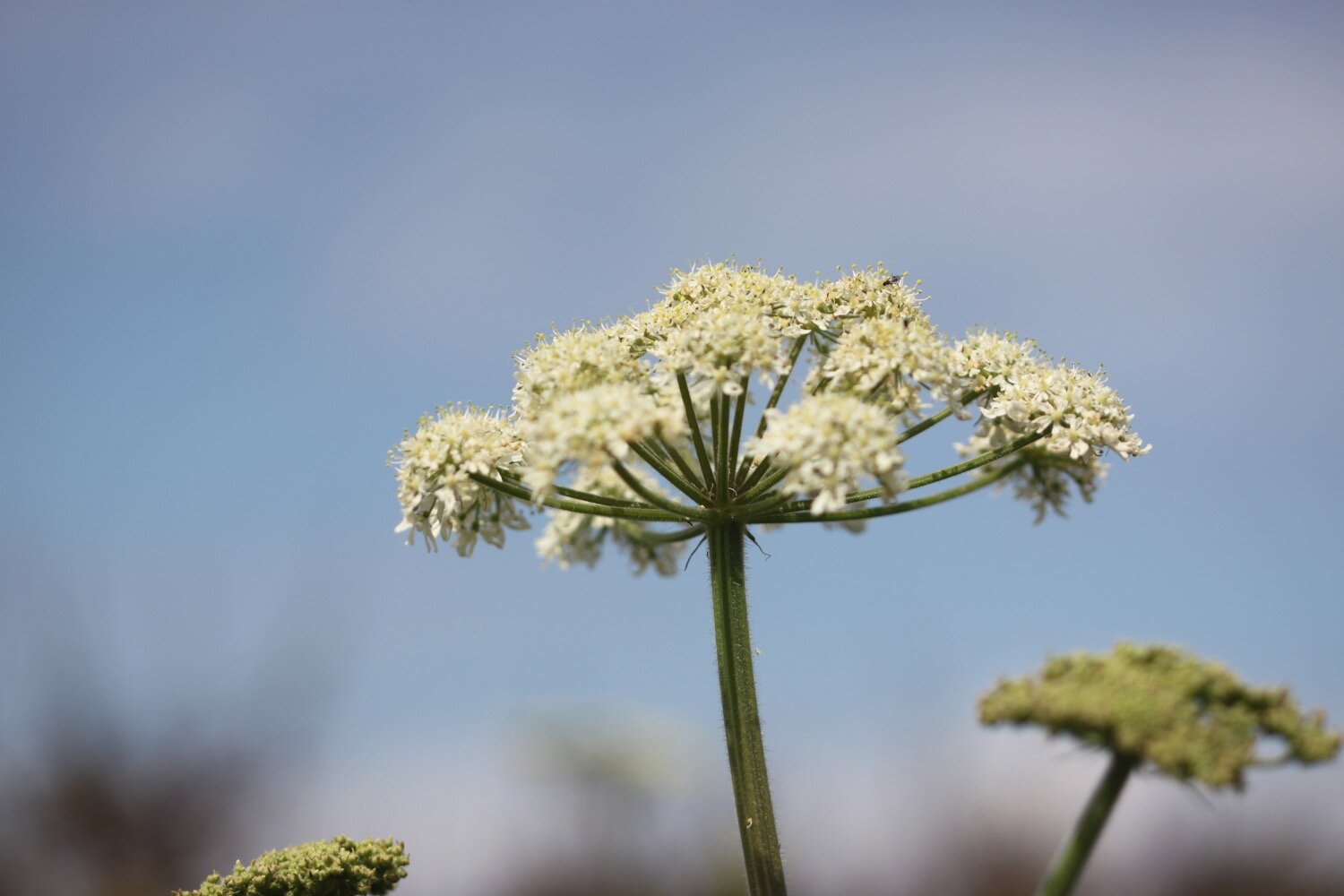
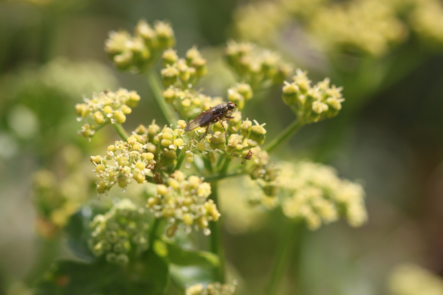
dropwort
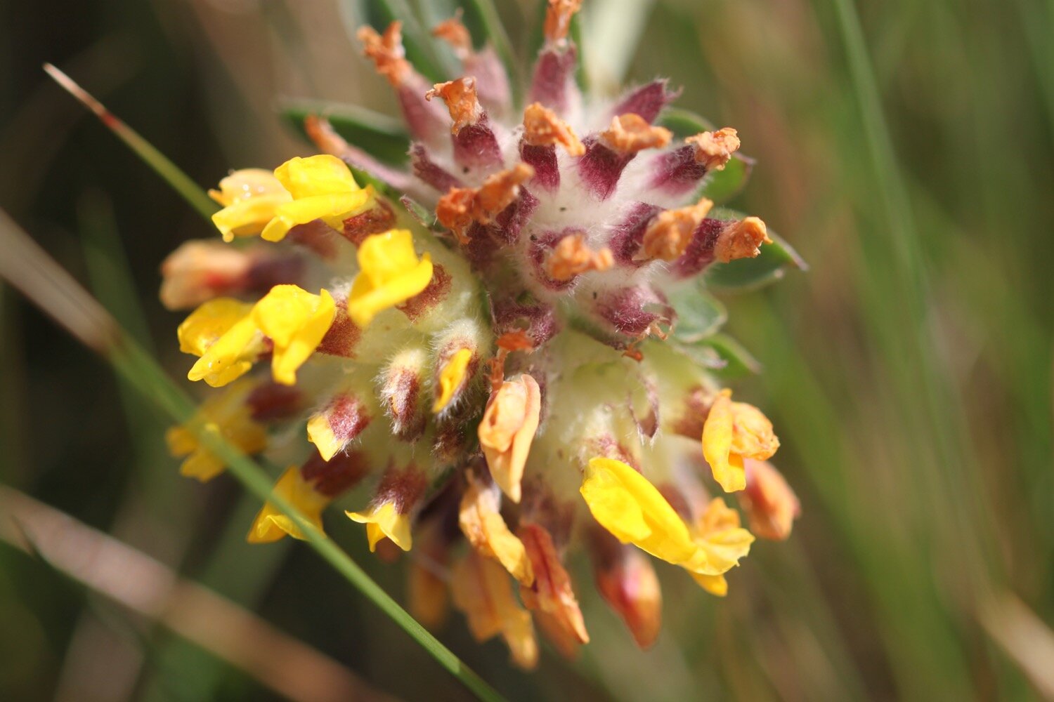
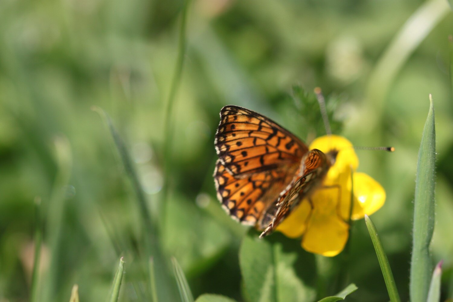
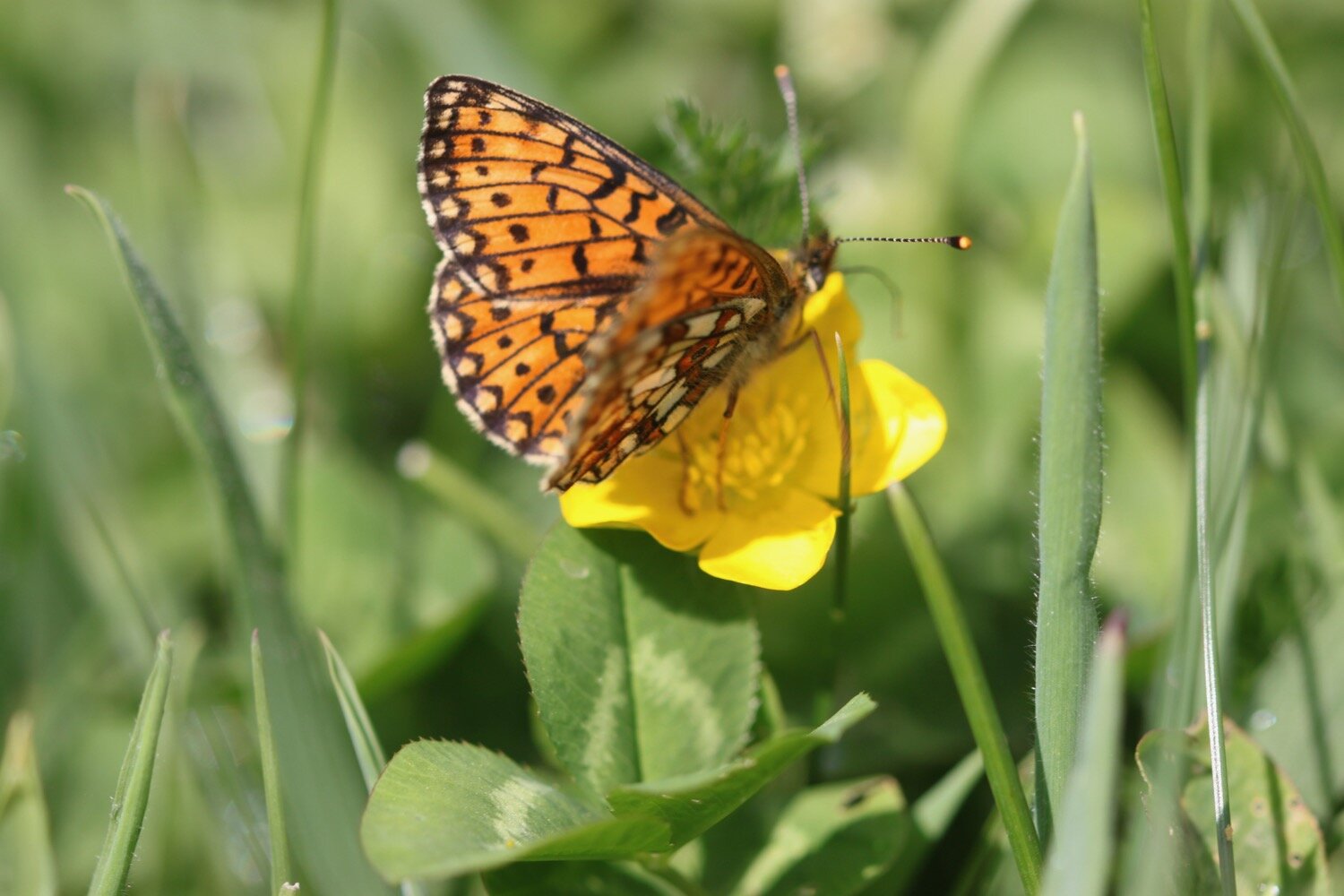
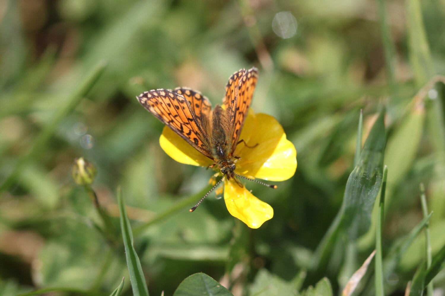
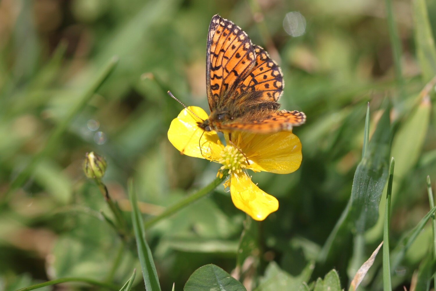
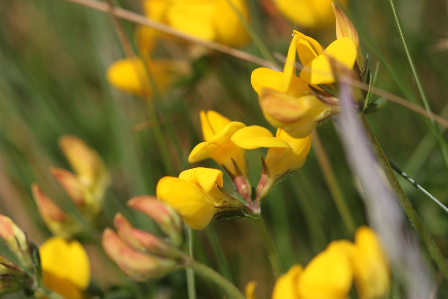
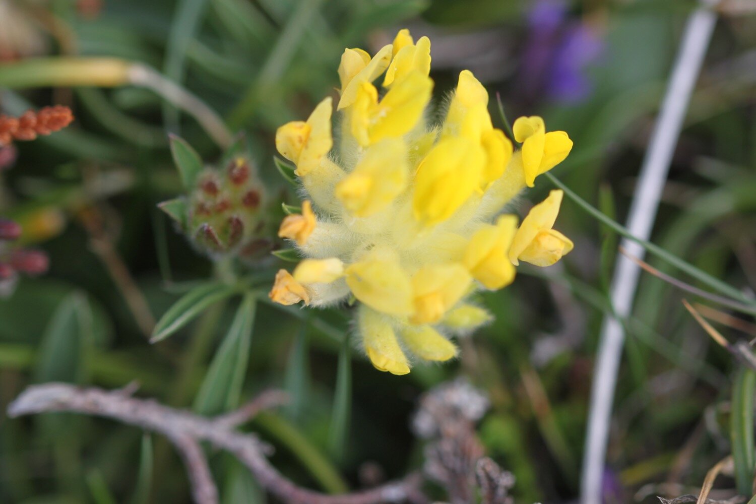
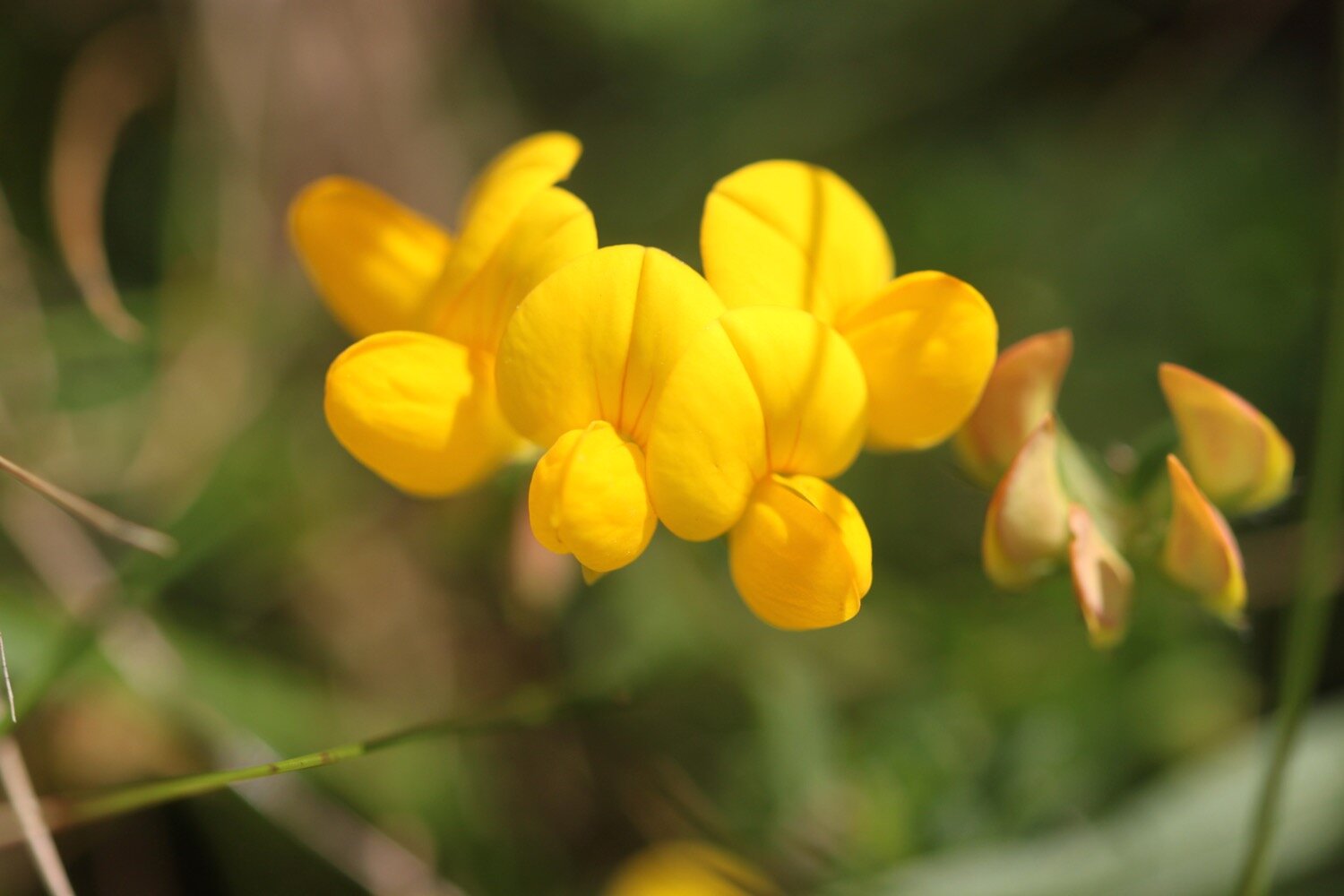
birds-foot trefoil
bloody cranesbill
heath spotted orchid
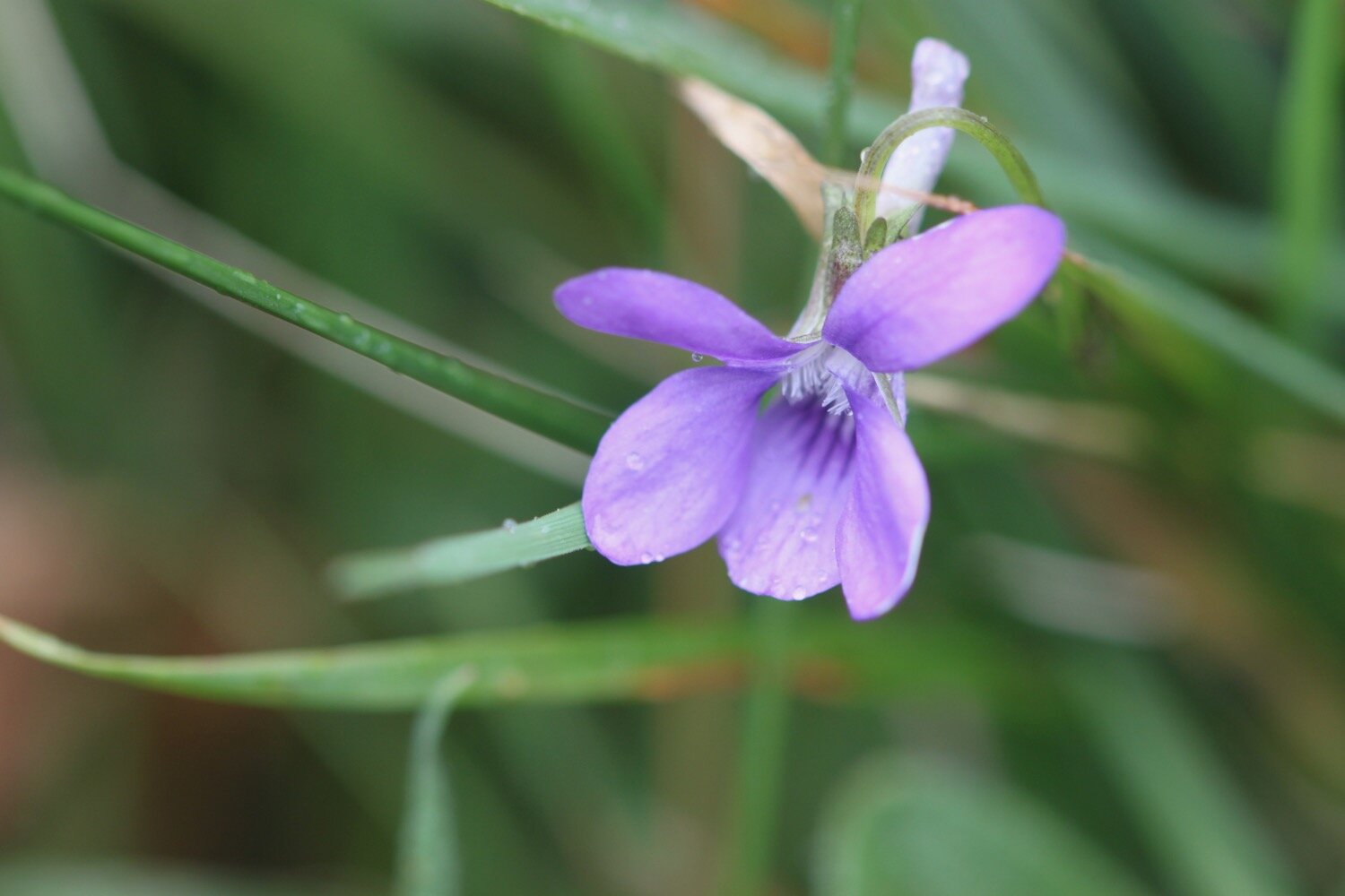
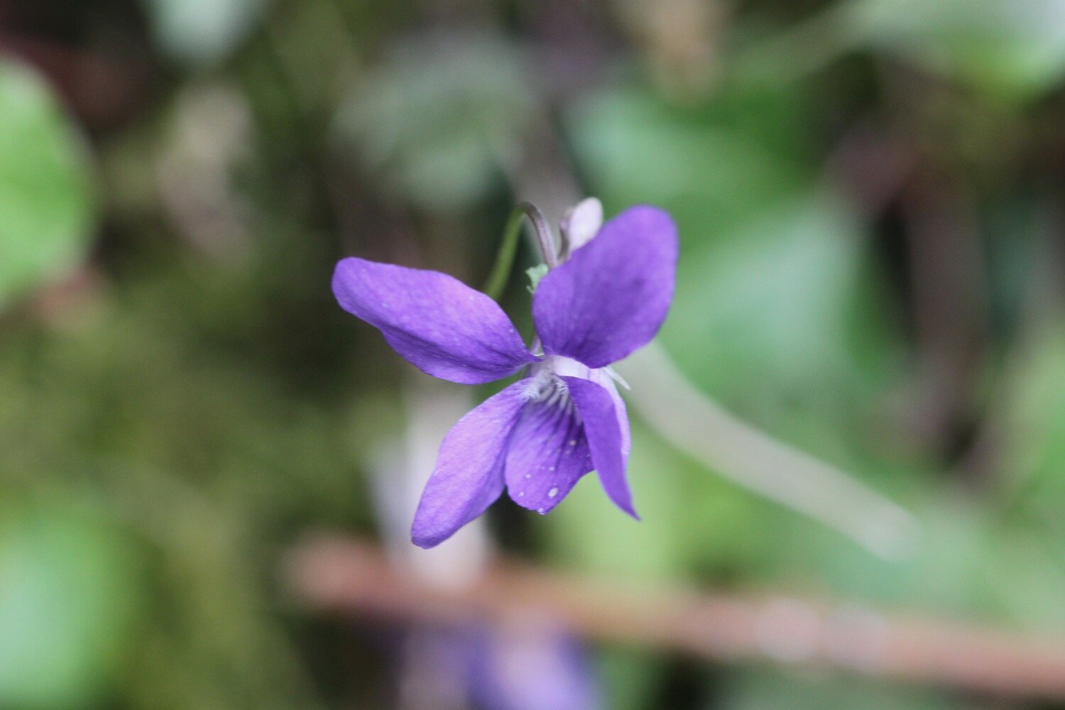
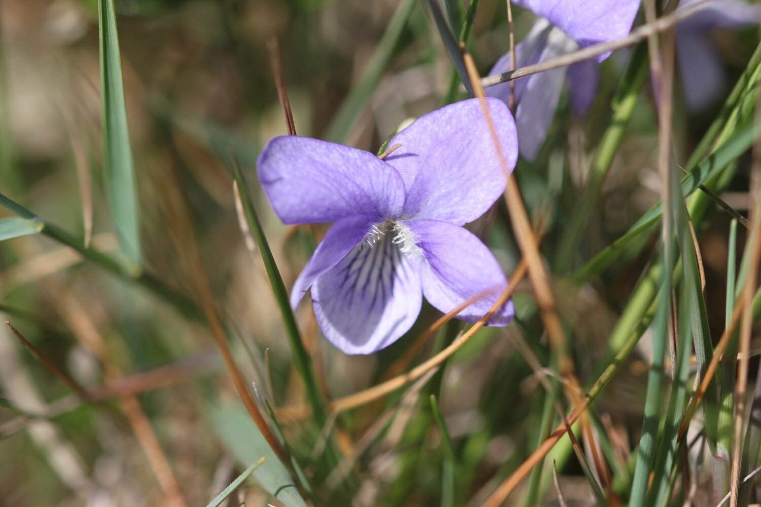
common dog-violet
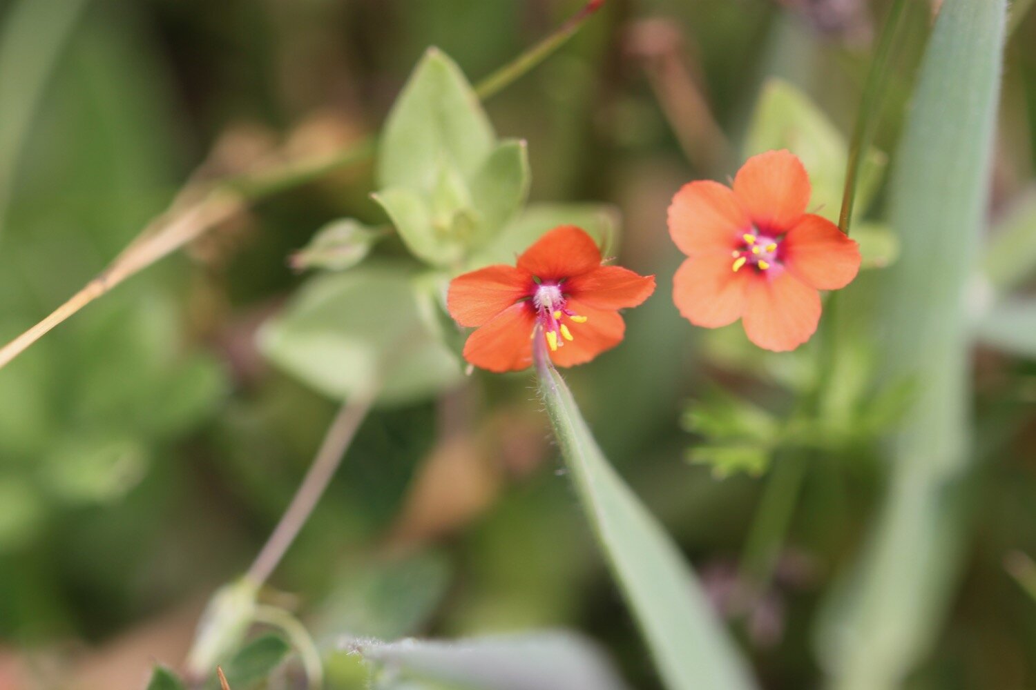
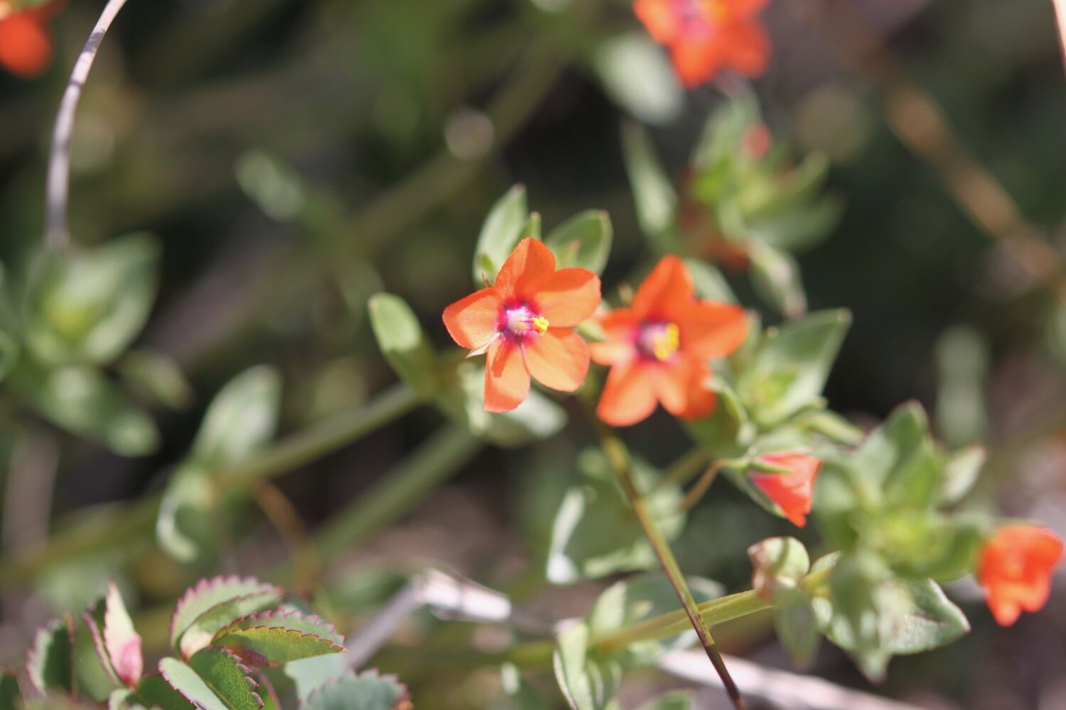
scarlet pimpernel
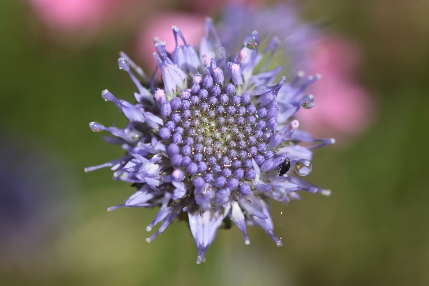
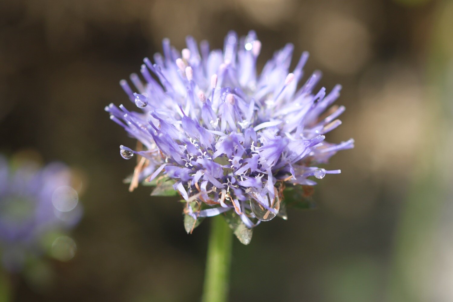
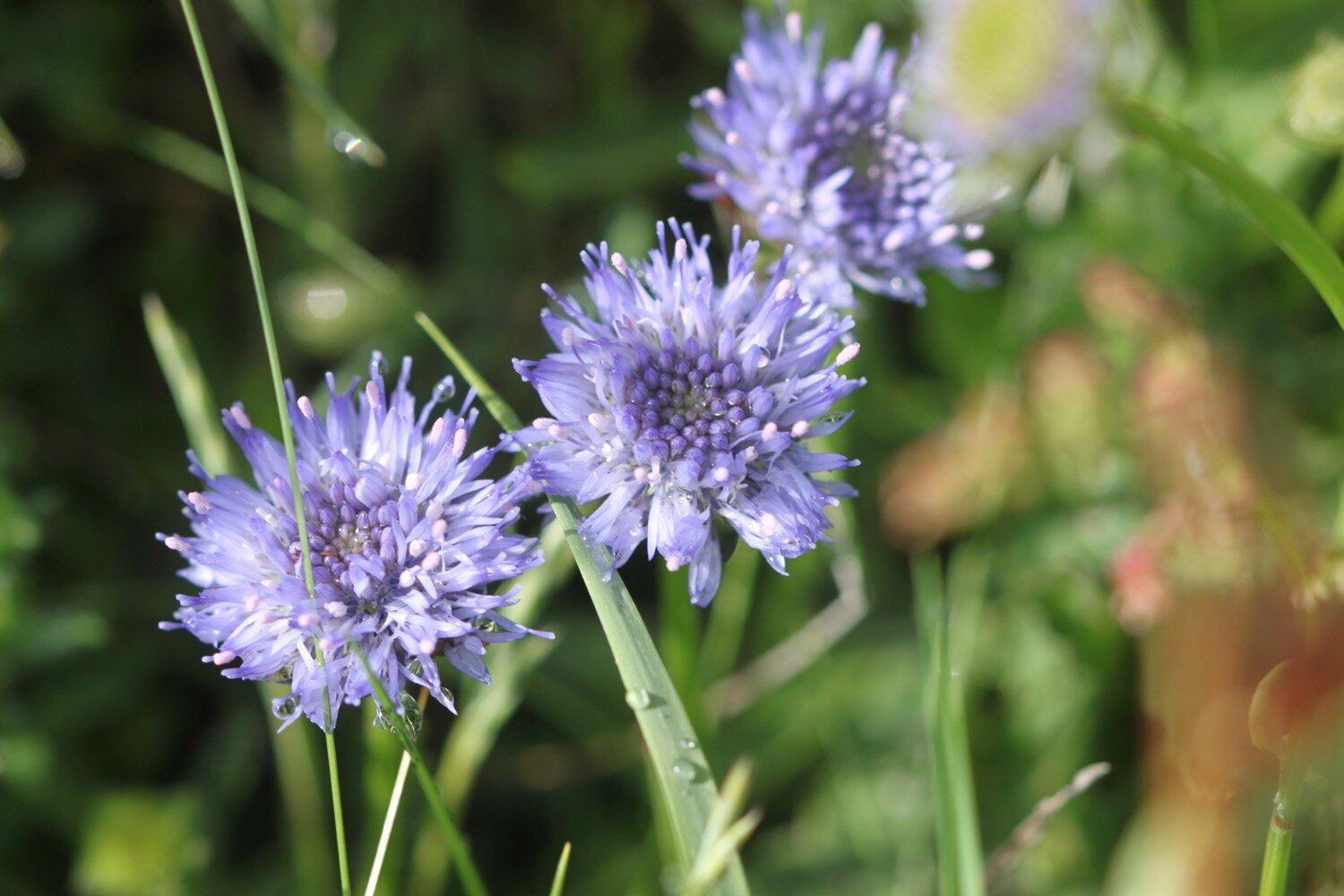
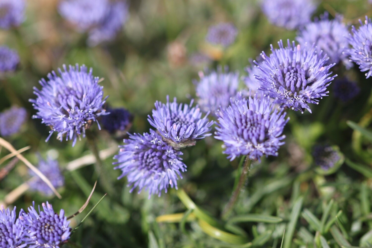
devils-bit scabious
ragged robin
southern marsh orchid
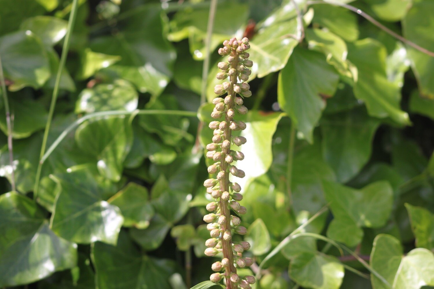
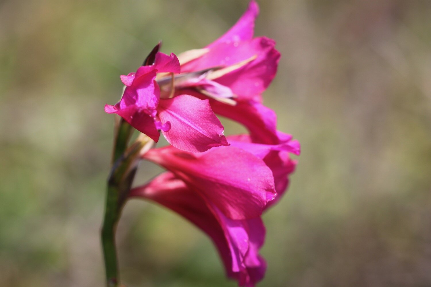
flag iris
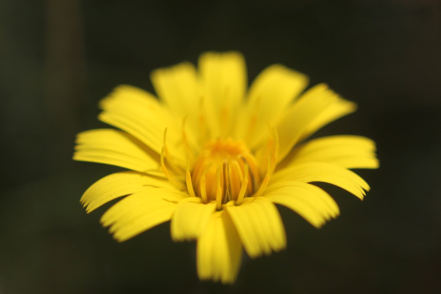
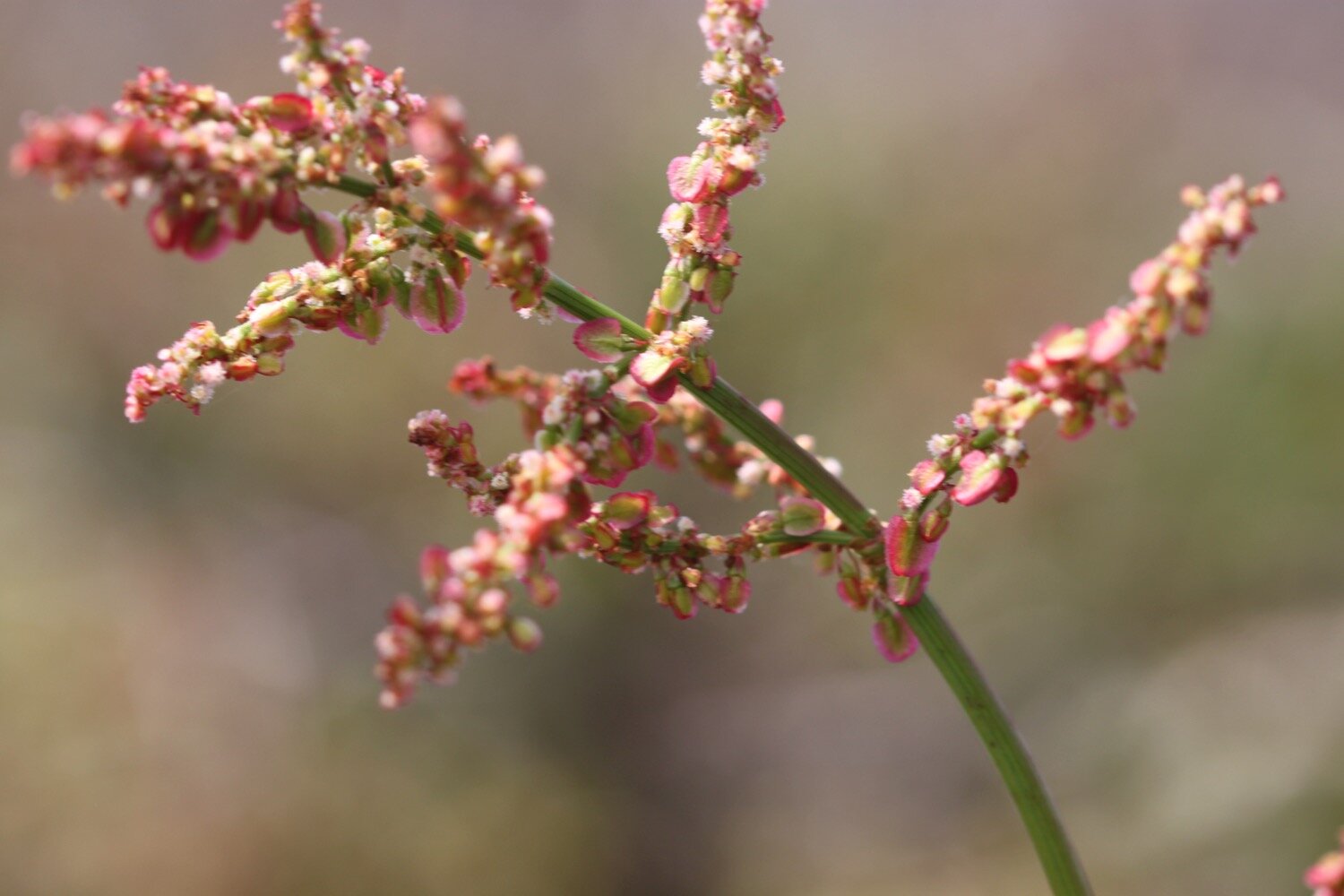
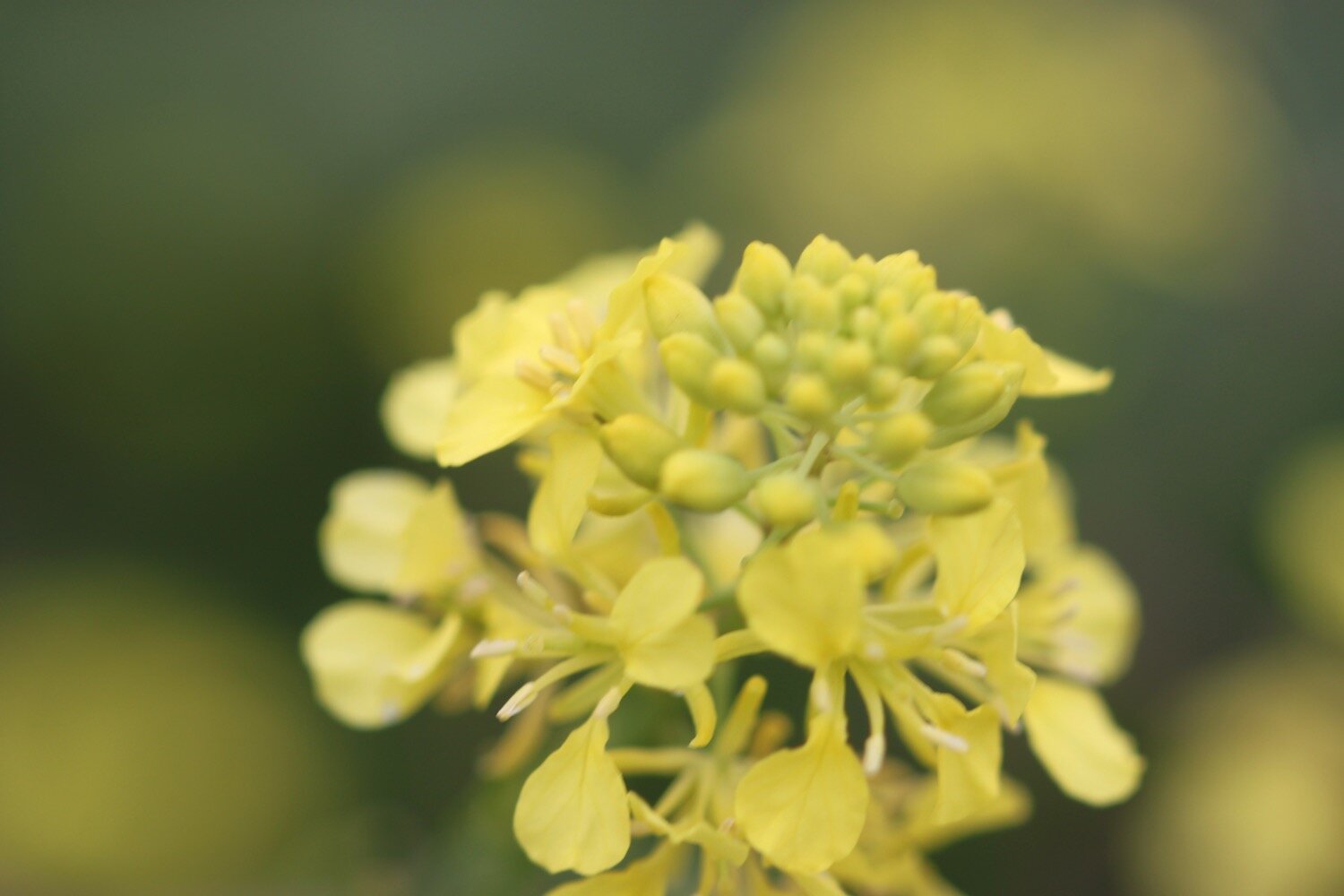
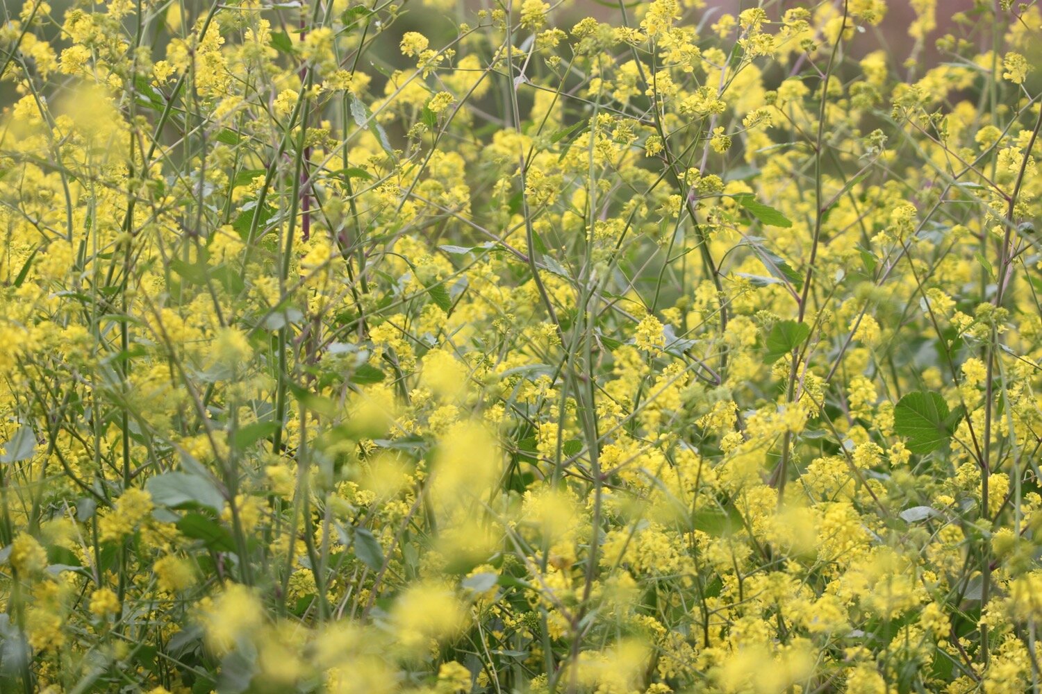
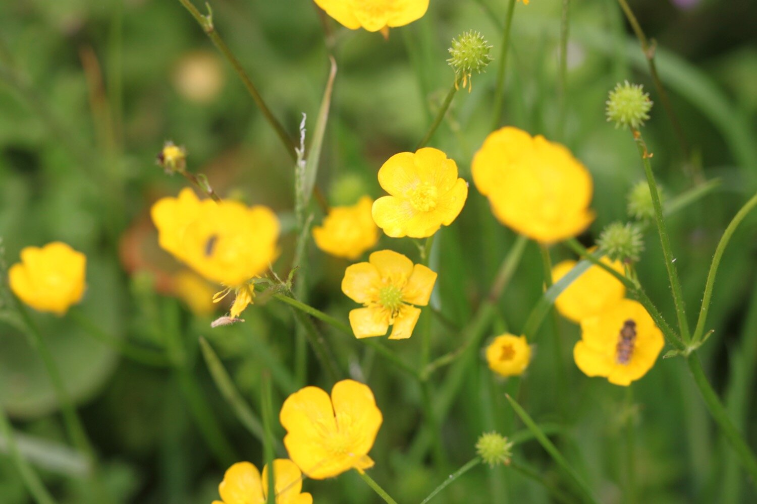
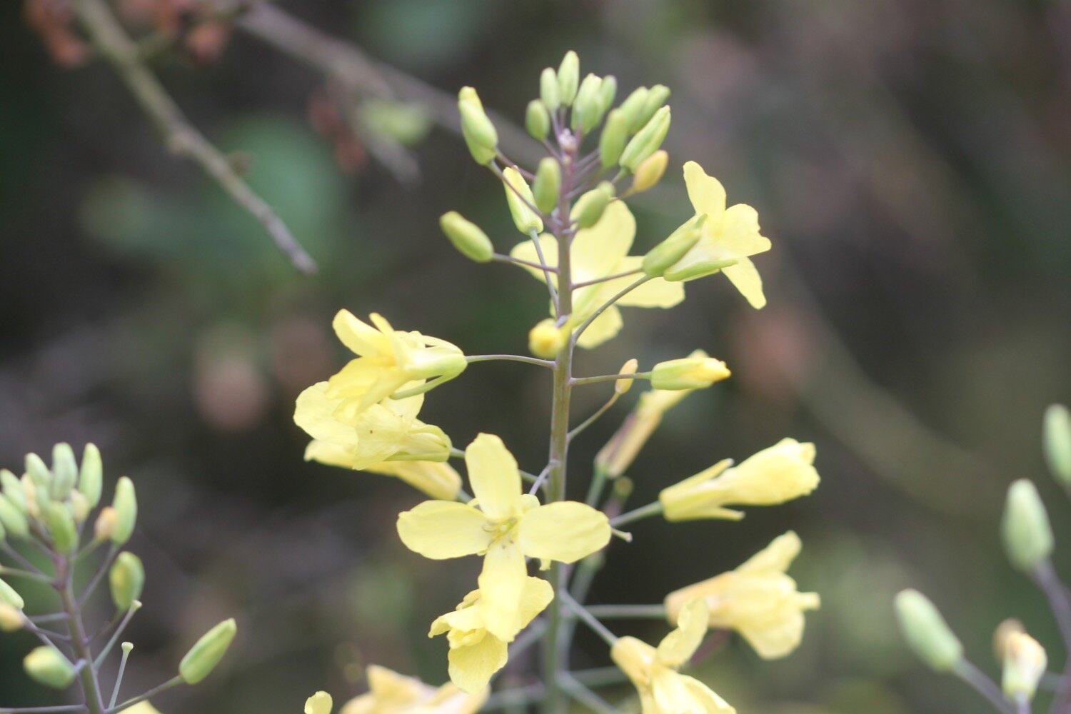
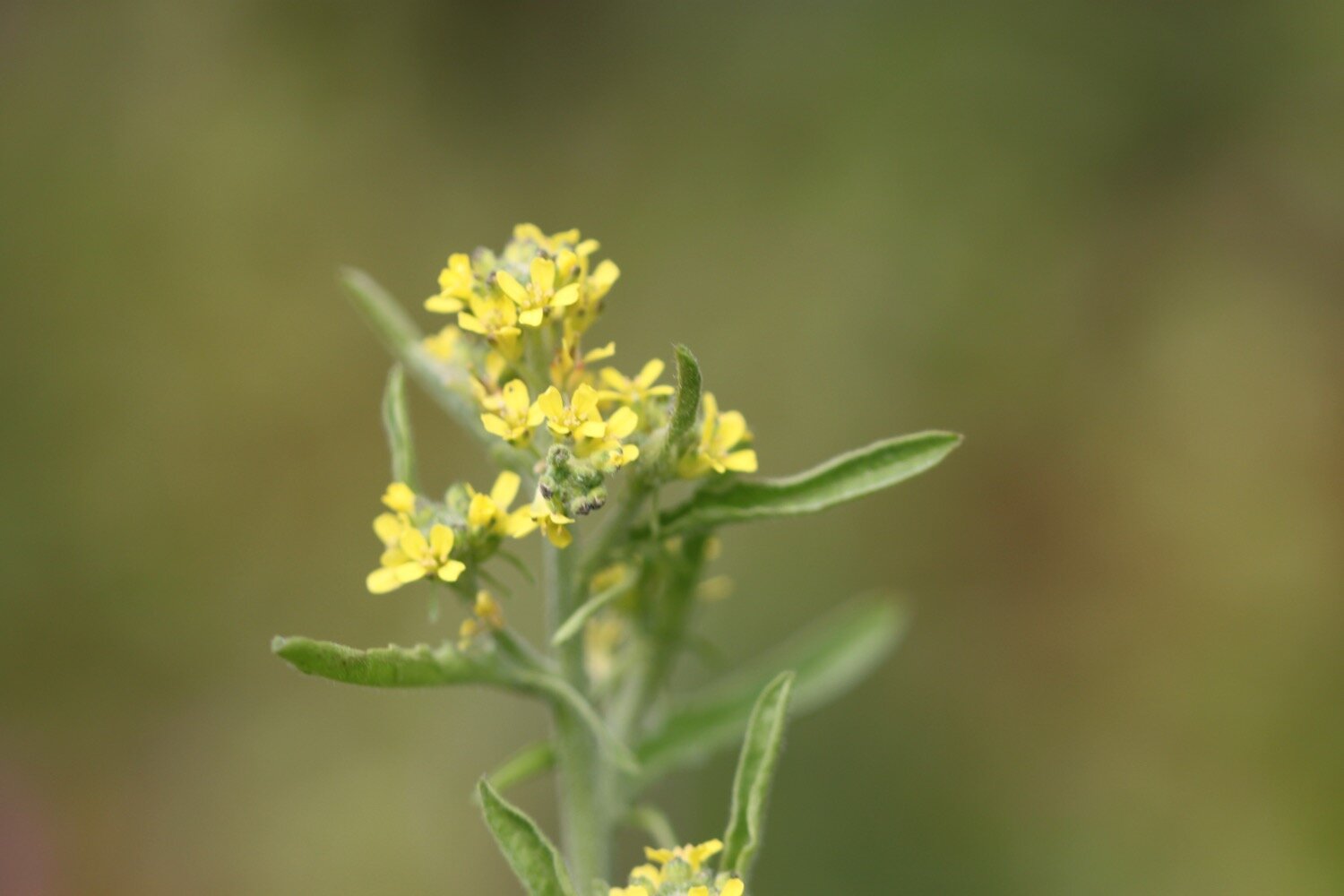
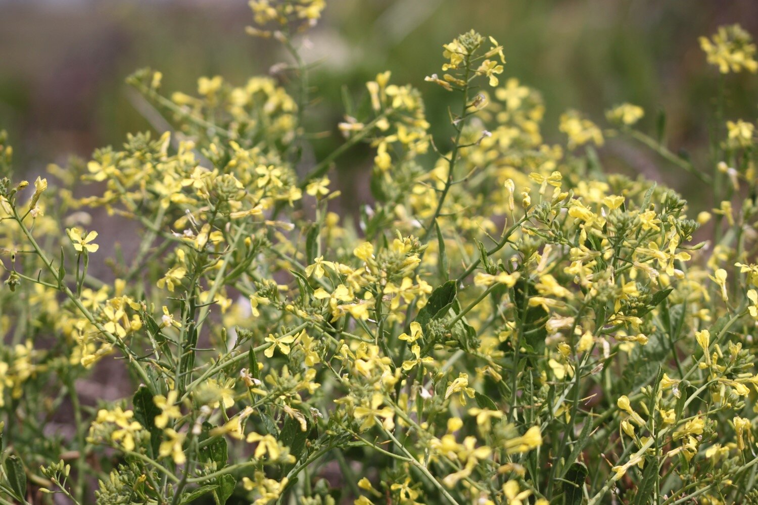
rape
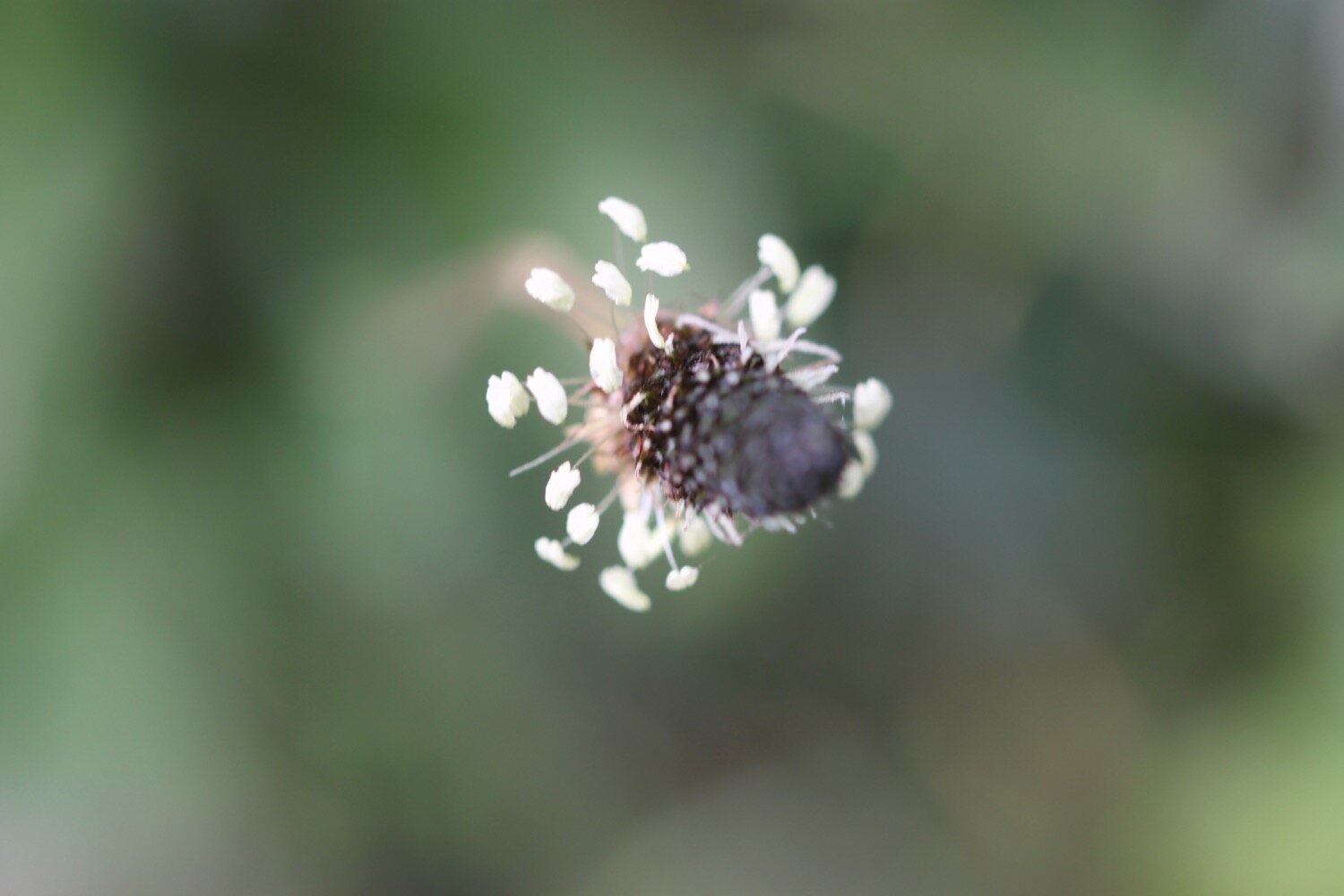
barred yellow moth

PODCAST
The podcast of today's walk is now available. You can subscribe via Apple Podcasts or listen using the player below.

MARKS OUT OF TEN?
According to my phone I've walked 10.75 miles which amounts to 25616 steps. It has taken me five and a quarter hours. I’ve had glorious weather all day long and the flora and fauna has been magnificent. Ten out of ten!
WALK DETAILS
For a change two out of three of my tracking apps have actually worked today so I have some walk details. They don’t entirely match up but there you go.
MAP
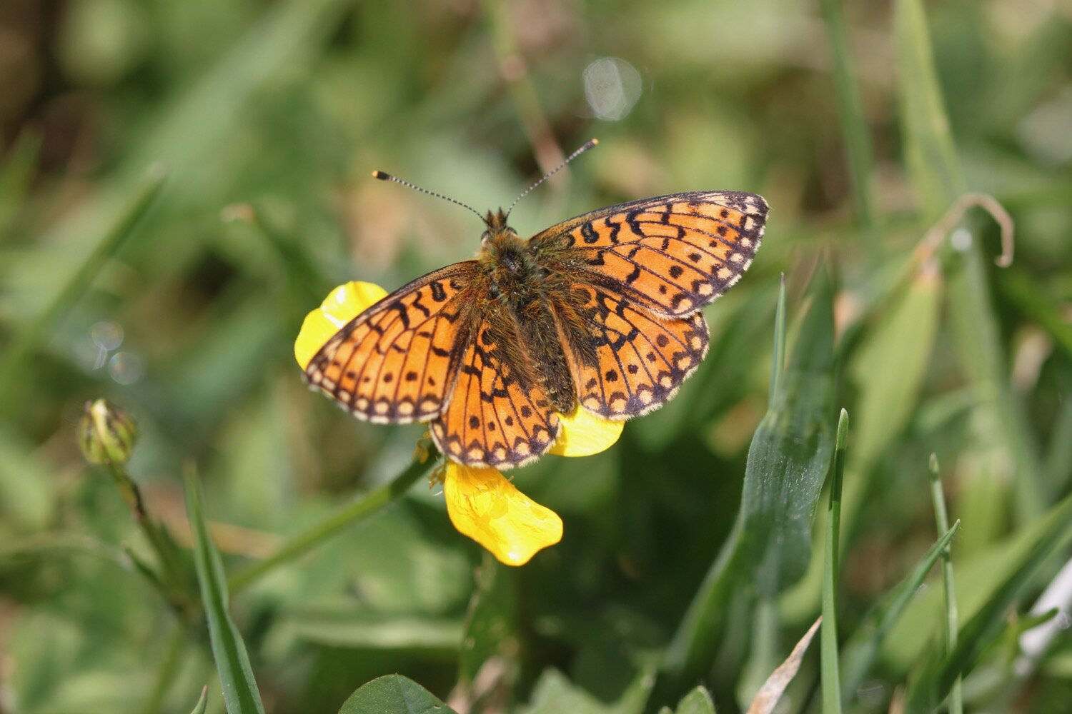
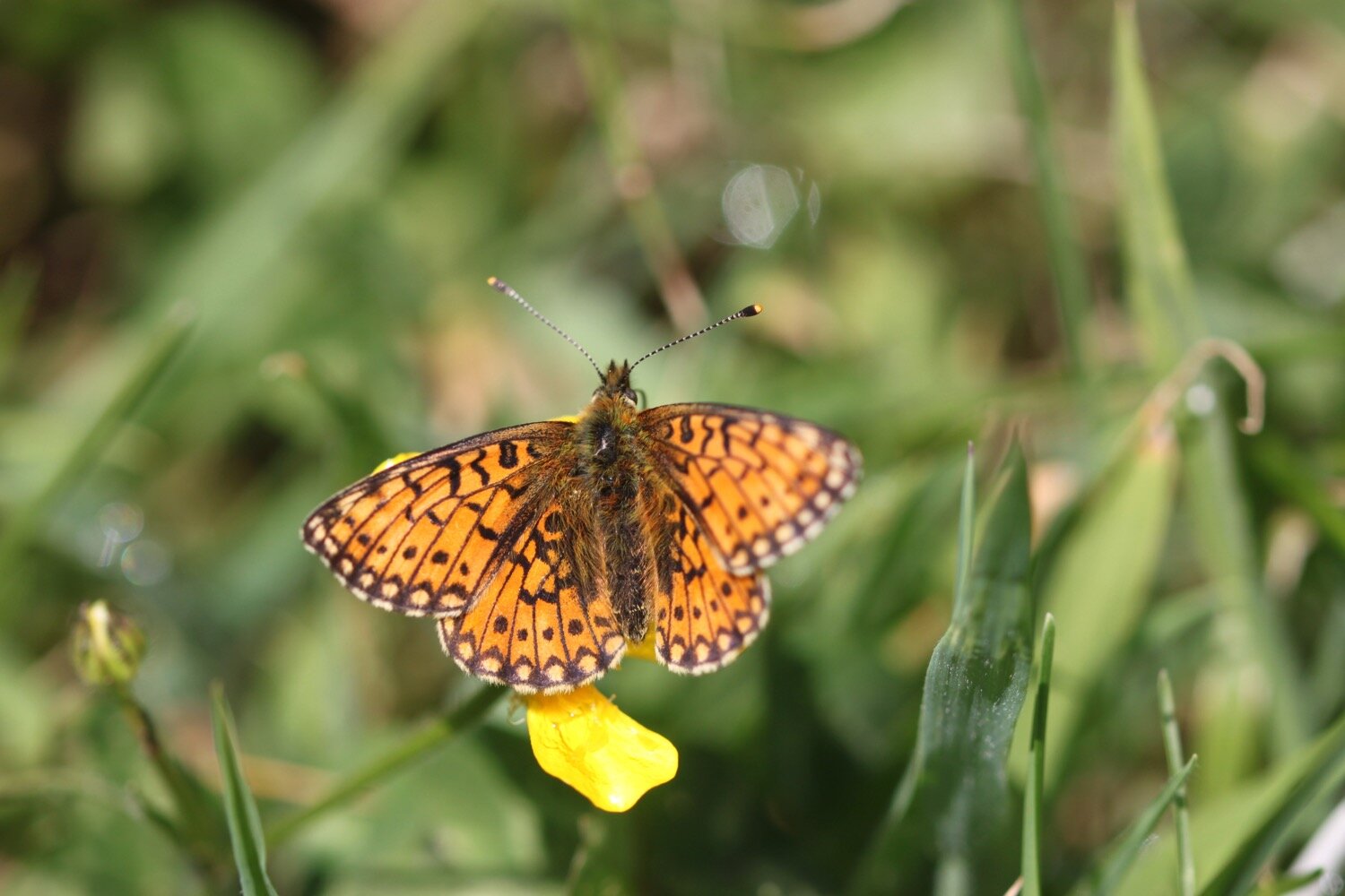
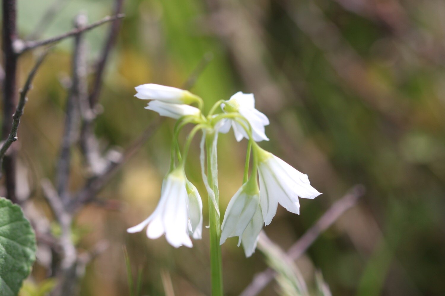
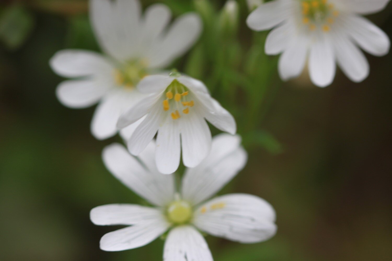
heath spotted orchid
southern marsh orchid
sea thrift
ragged robin
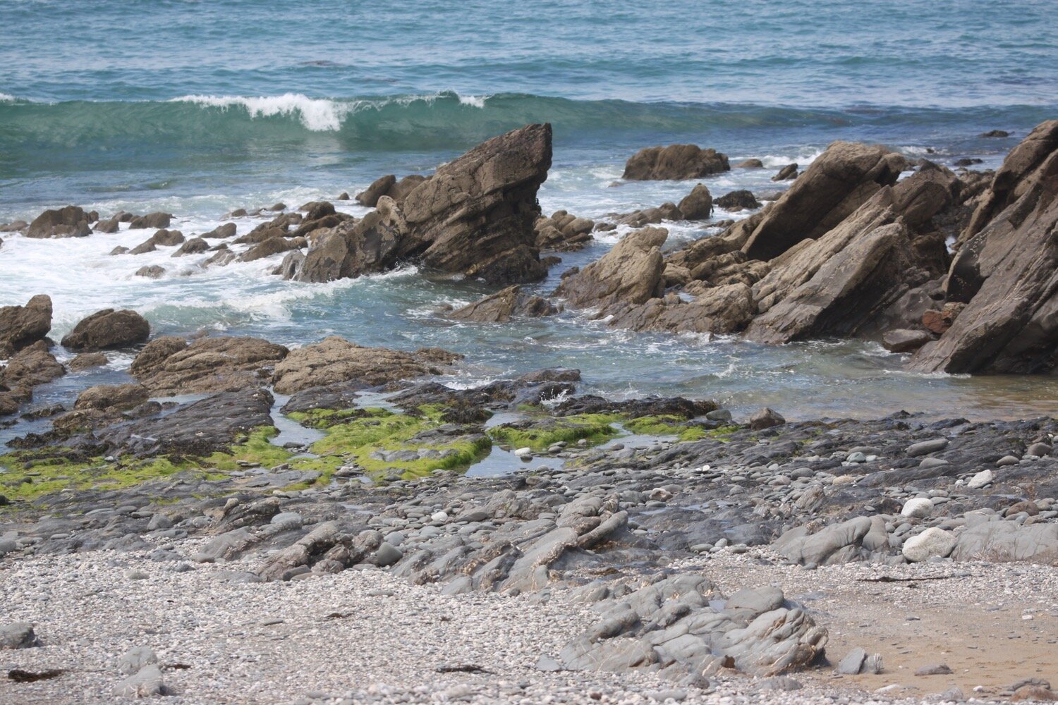
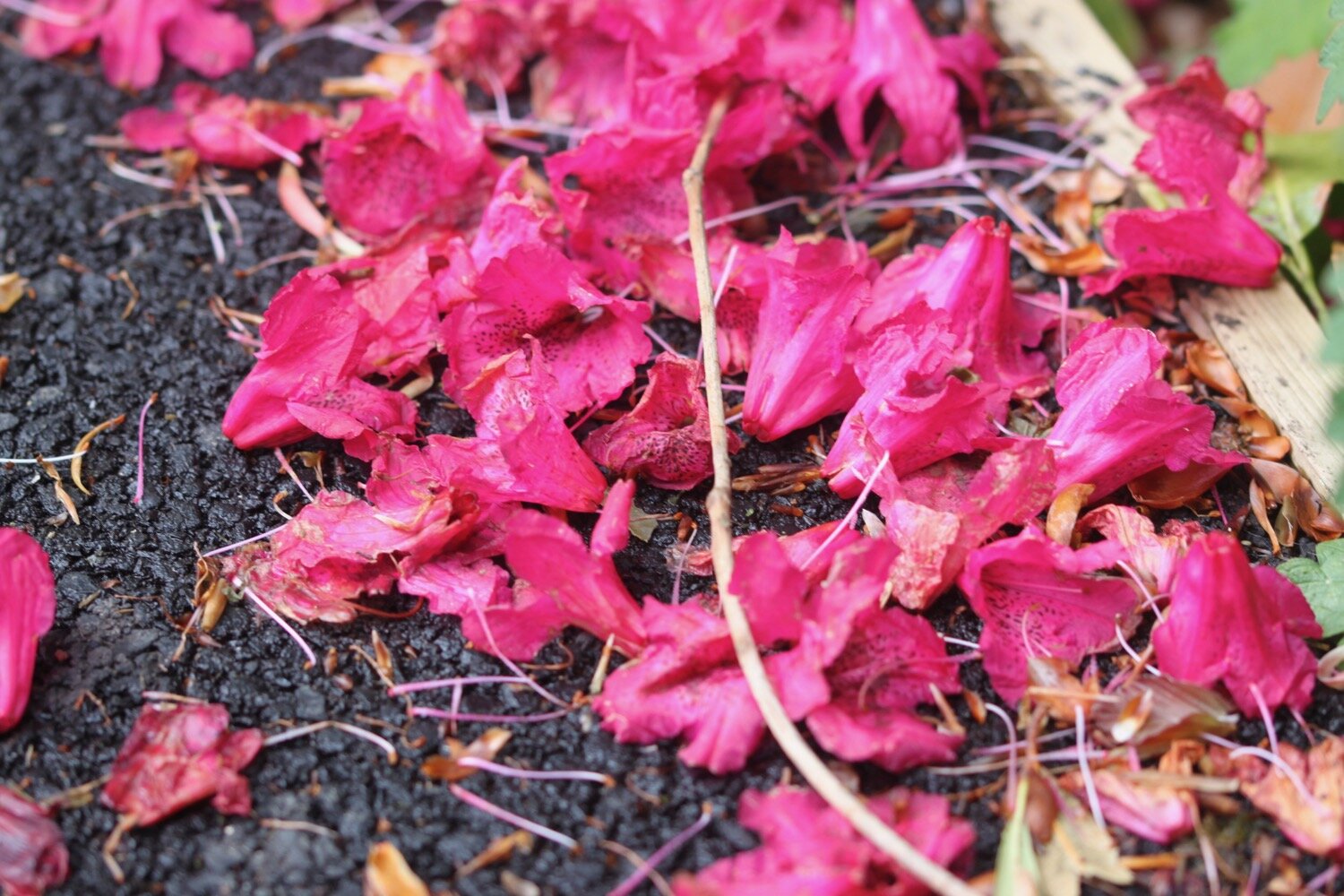
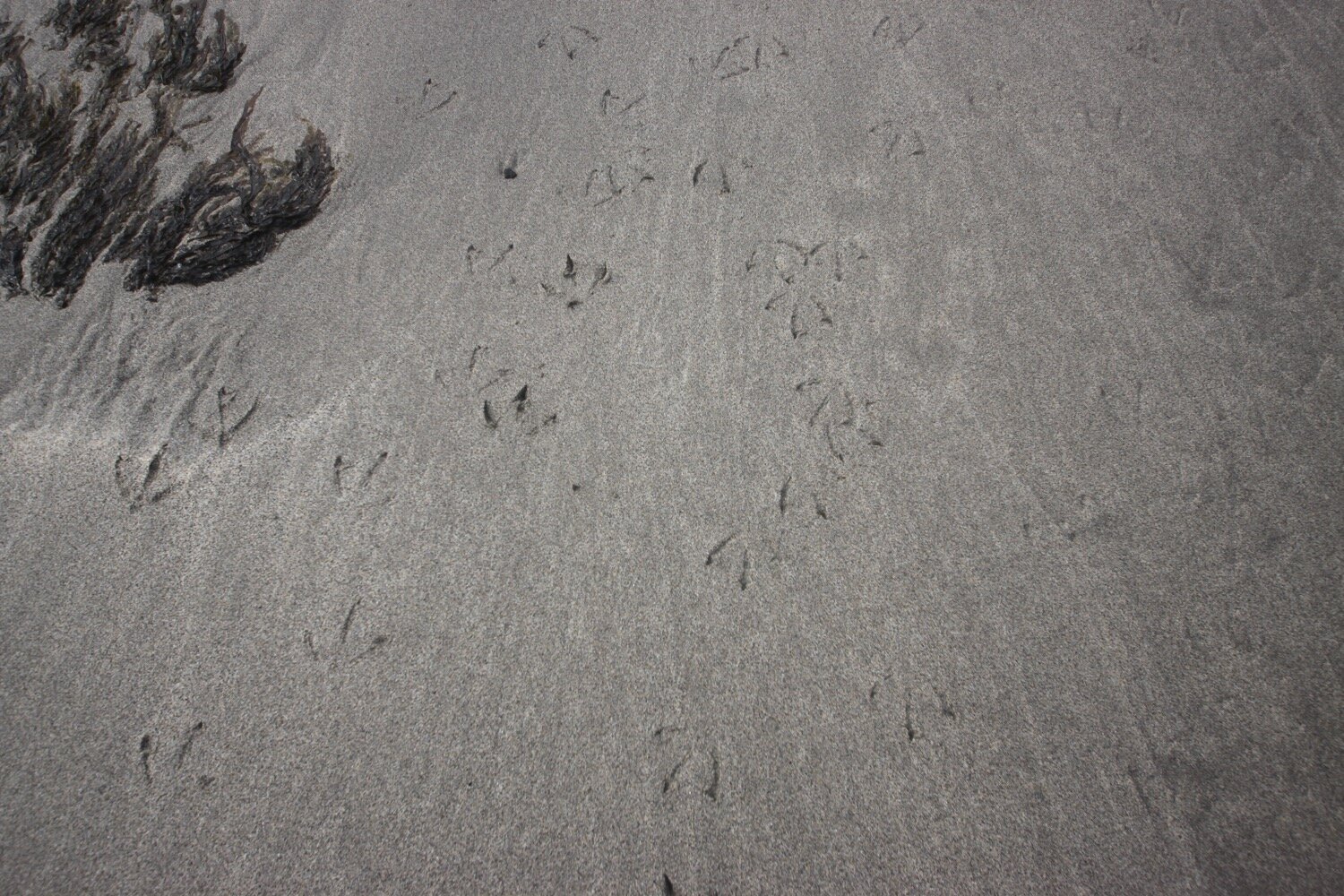
beach collection