st helen's to chale
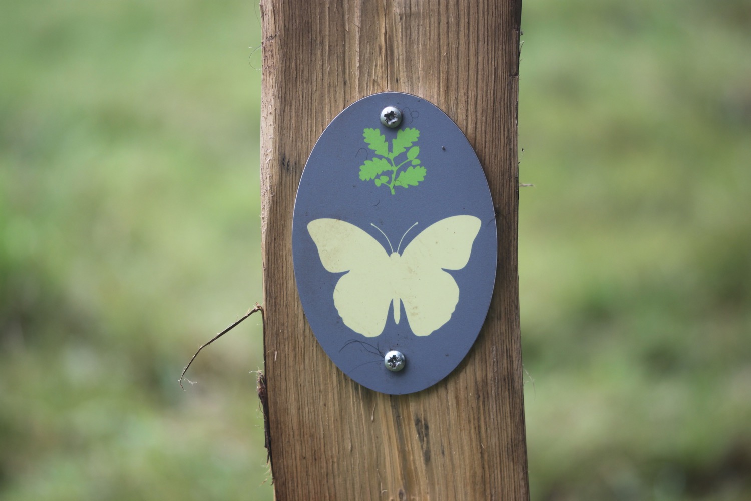
ISLE OF WIGHT COAST PATH
wednesday, 13TH SEPTEMBER 2017
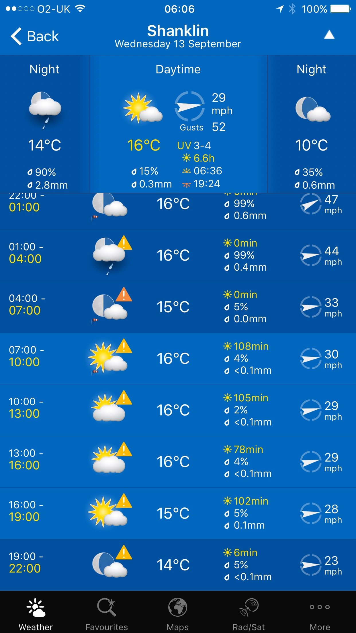
Today's weather forecast doesn't look too bad. It's not going to be particularly warm and it'll be a bit blustery but I should have a fair amount of sun during the day.
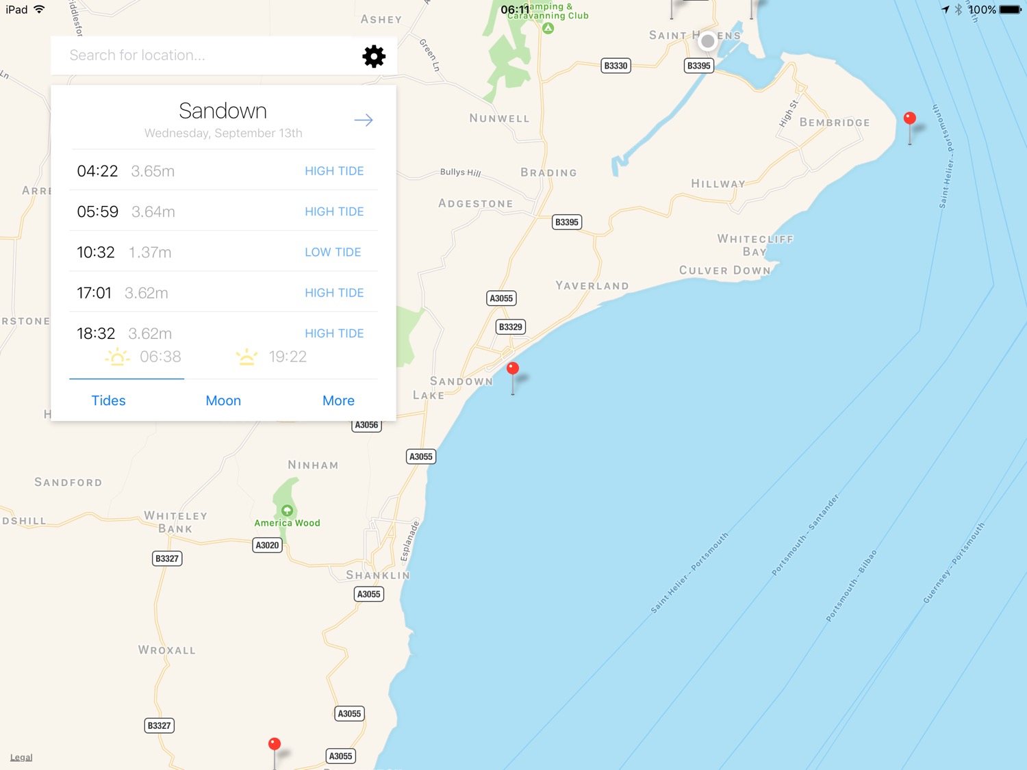
Sandown low tide 10:32
Sandown high tide 17:01
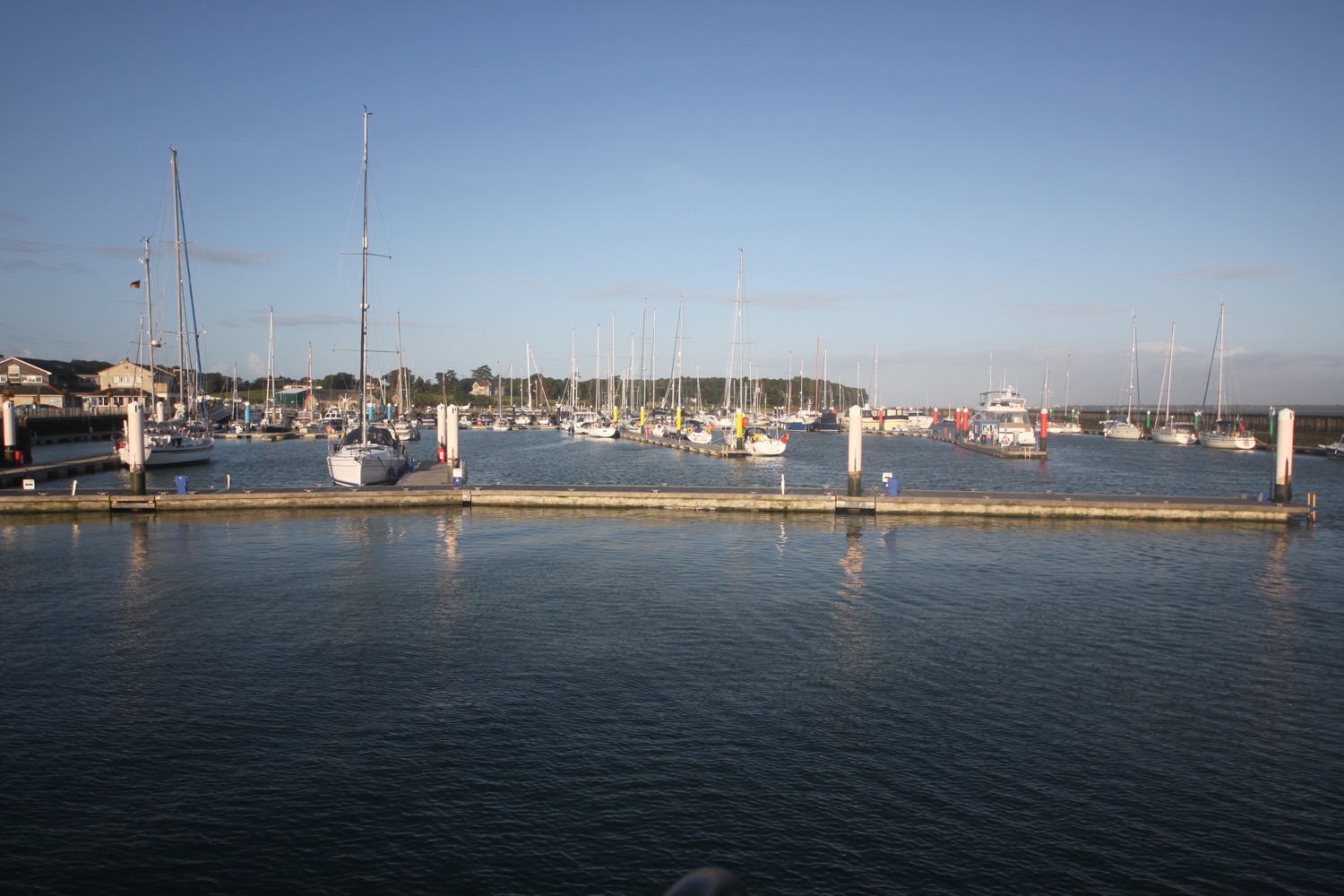
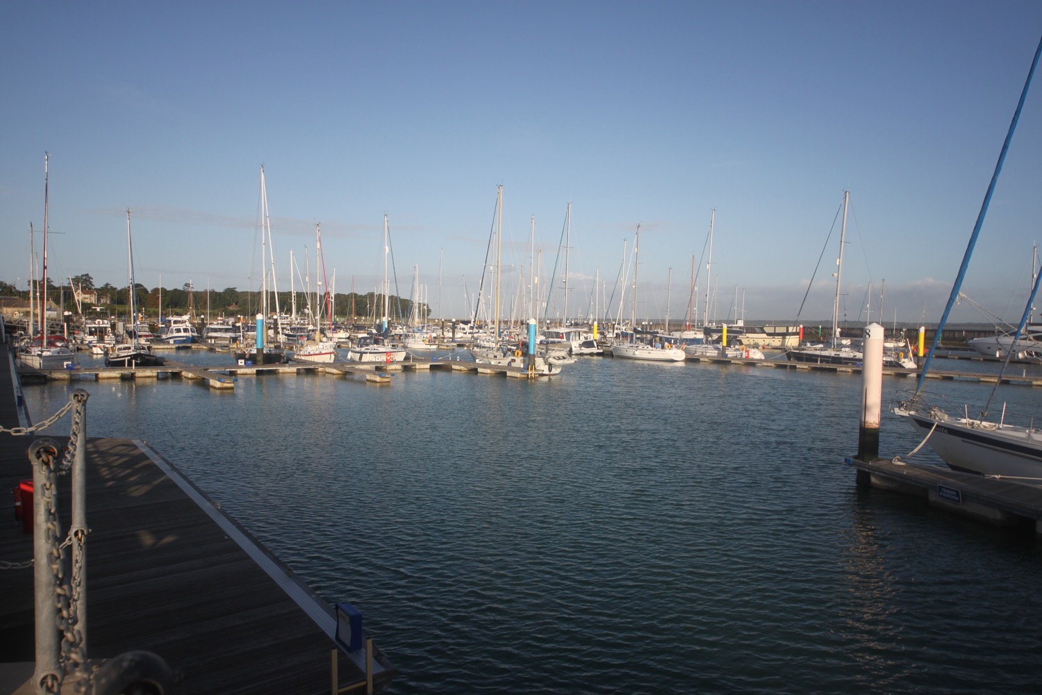
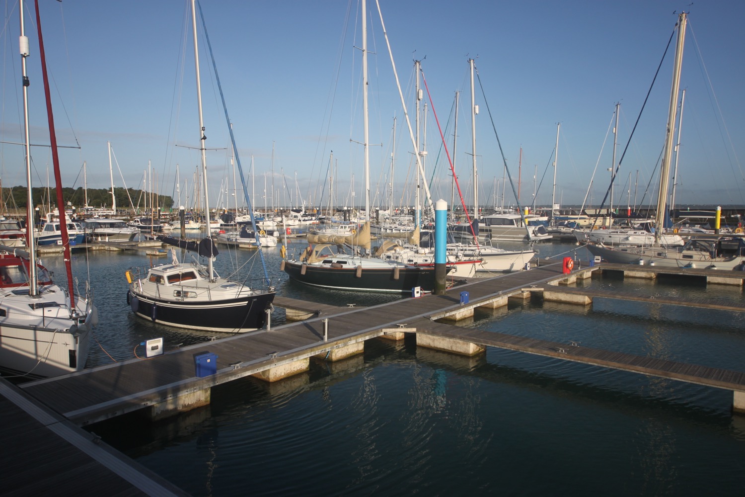
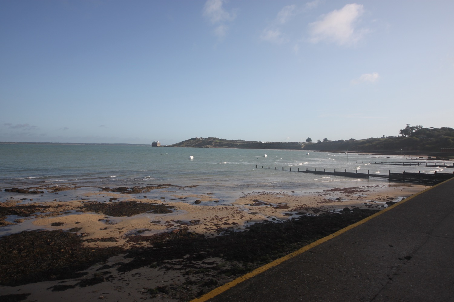
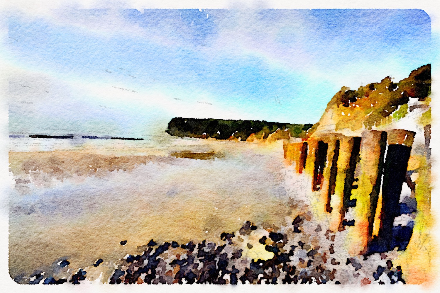
I leave our holiday cottage in St Helen's first thing in the morning and immediately head out around Bembridge Harbour.
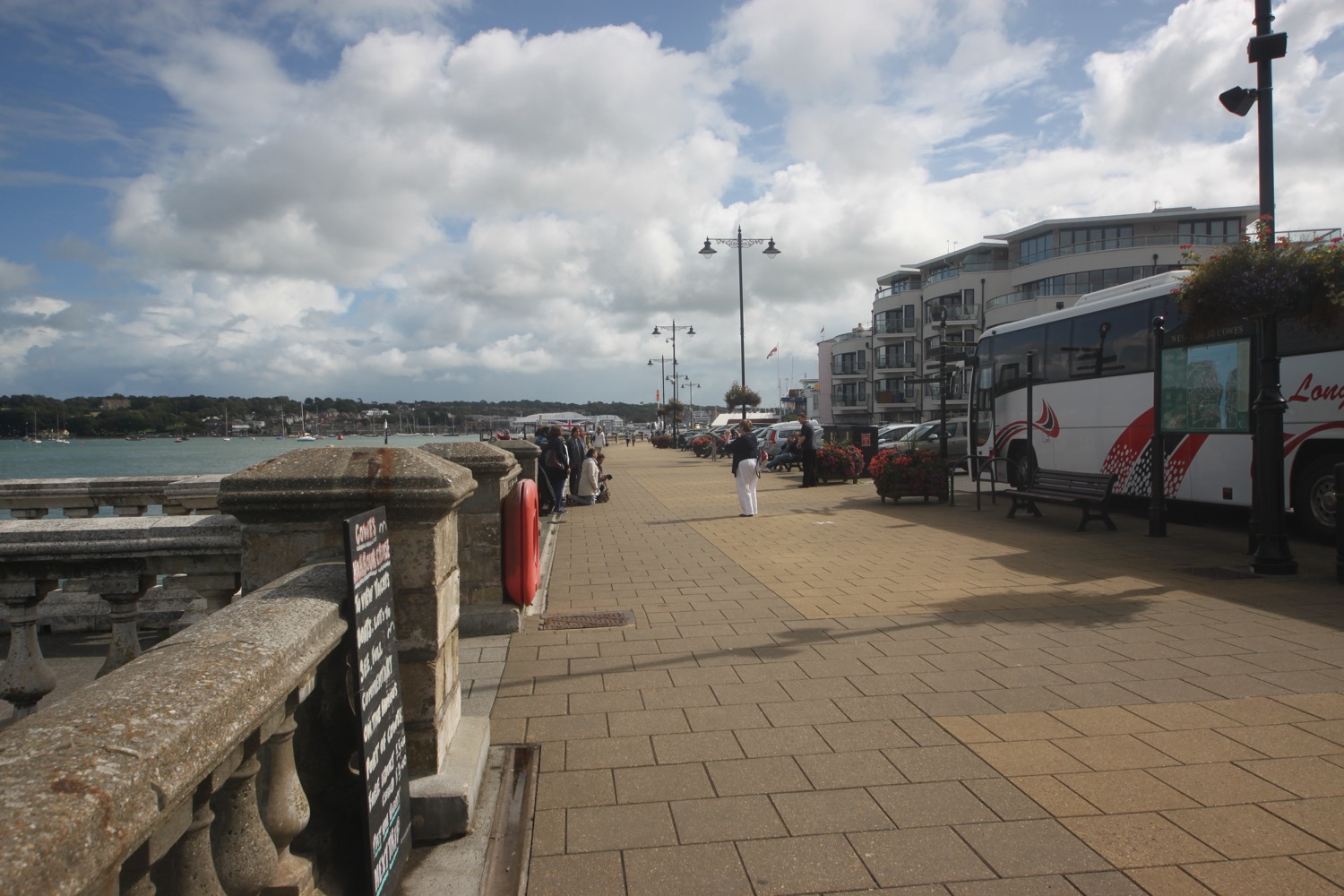
bembridge harbour
bembridge harbour
I head along embankment road and pass some houseboats, many of them up for sale. I also pass Brading Haven Yacht Club, Bembridge Sailing Club and the Tollgate Cafe.
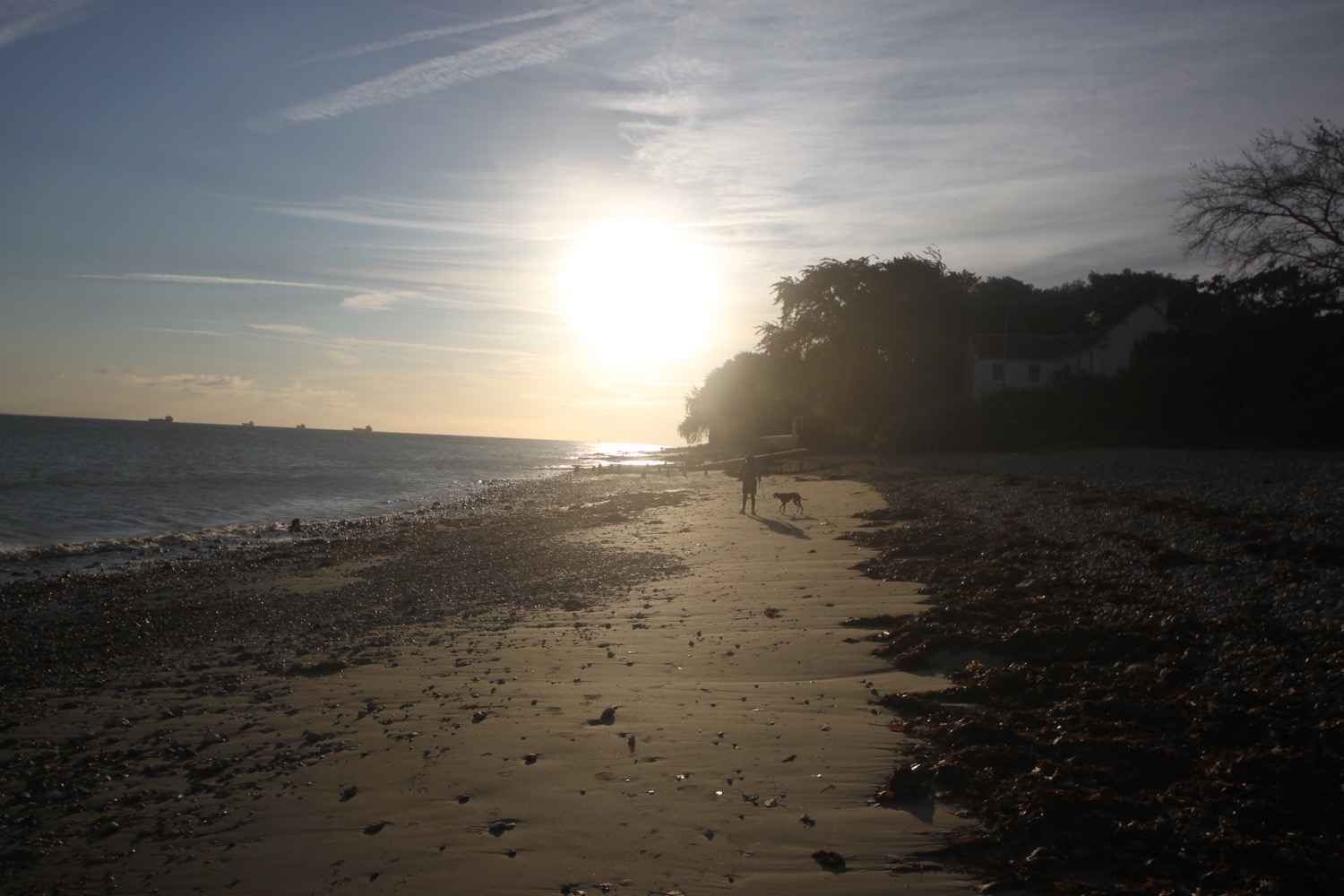
At the Pilot Boat Inn I detour off of the coast path and wander down Beach Road. I head out onto Bembridge Point Beach hoping that I can walk all the way along the beach. I walk along a narrow strip of fine, golden sand. That's a rather nice start to the day! I drop into conversation with a woman walking her dog who has just moved from Ryde to Bembridge. That's quite a hefty move!
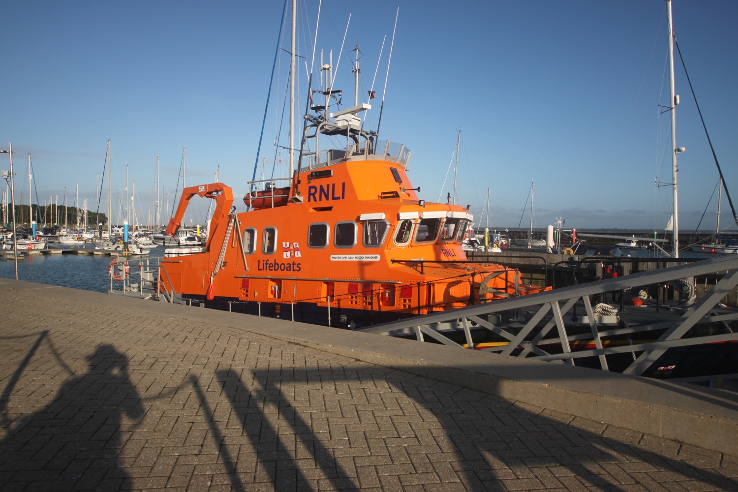
It does indeed look like I can walk along the beach so I keep walking. I climb up onto the sea wall and pass the Lifeboat View Cafe before reaching Bembridge Lifeboat Station. The lifeboat station was established in 1867.
bembridge lifeboat station
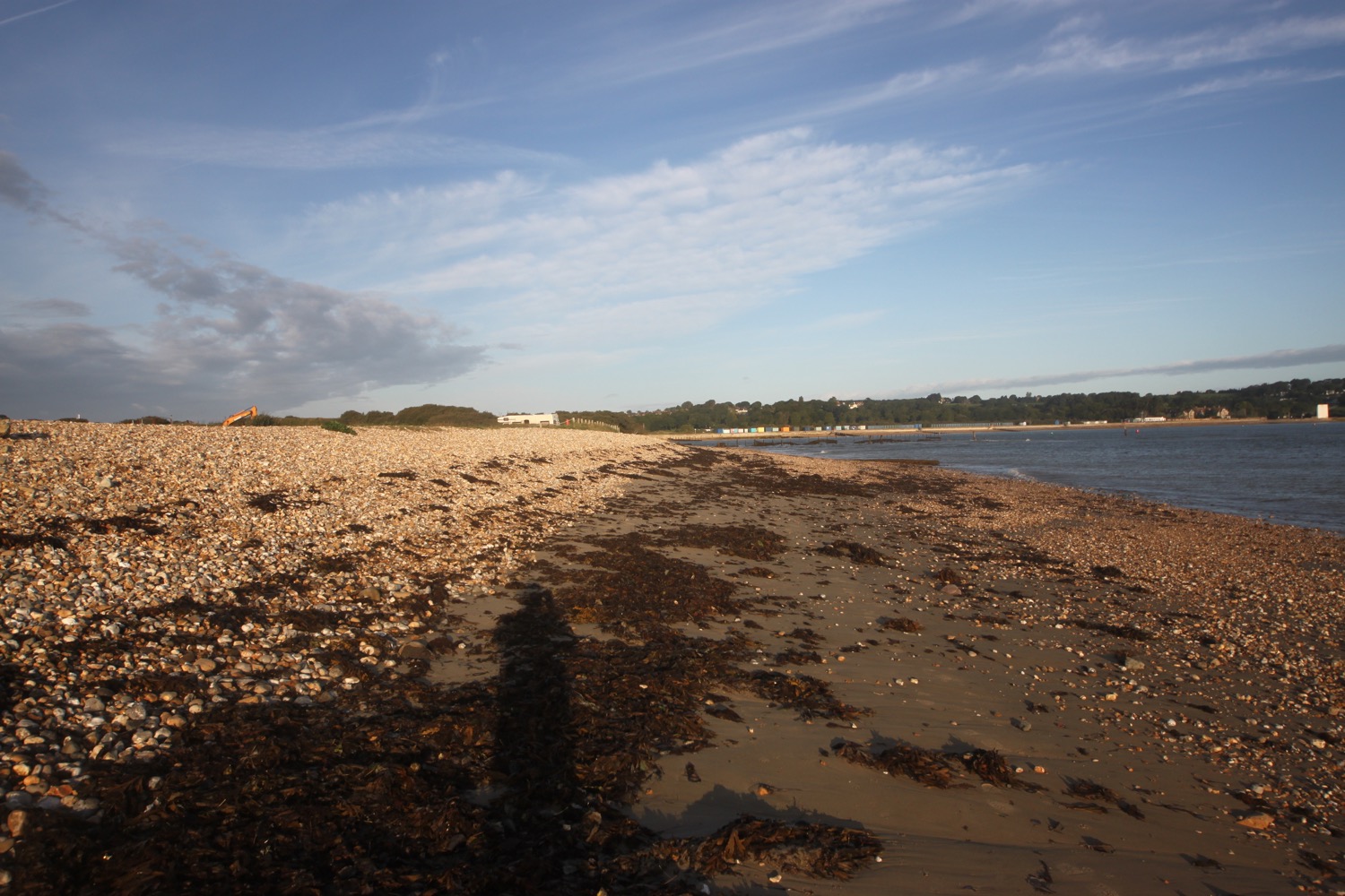
I drop down to the beach again on the other side of the lifeboat station and continue on the pebbly beach around Bembridge Foreland. The low cliffs are heavily eroded and some diggers are making repairs to the sea defences. I pass the Crab and Lobster Inn.
crab and lobster inn
It's a beautiful morning and I'm beginning to like this walk!
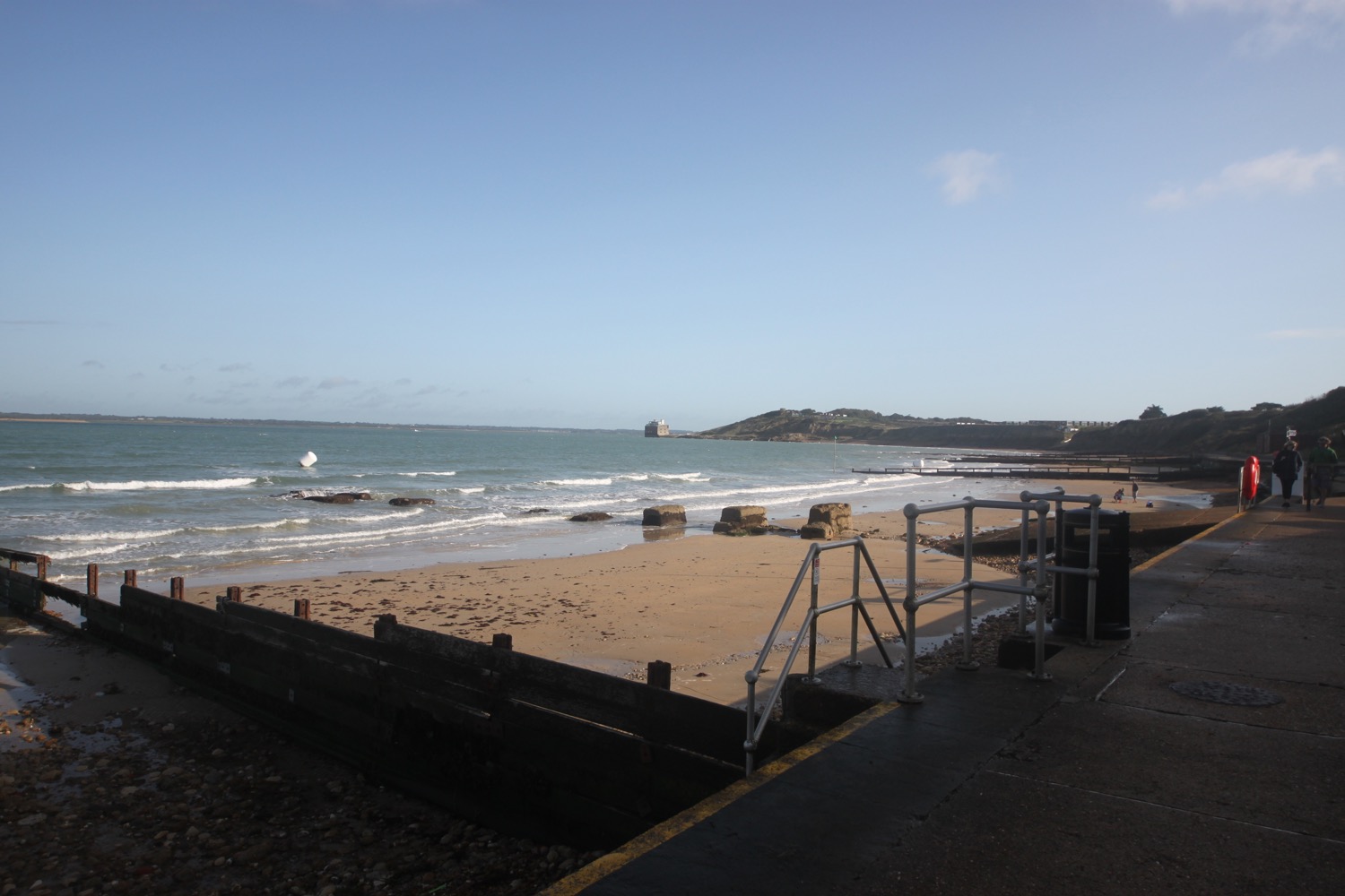
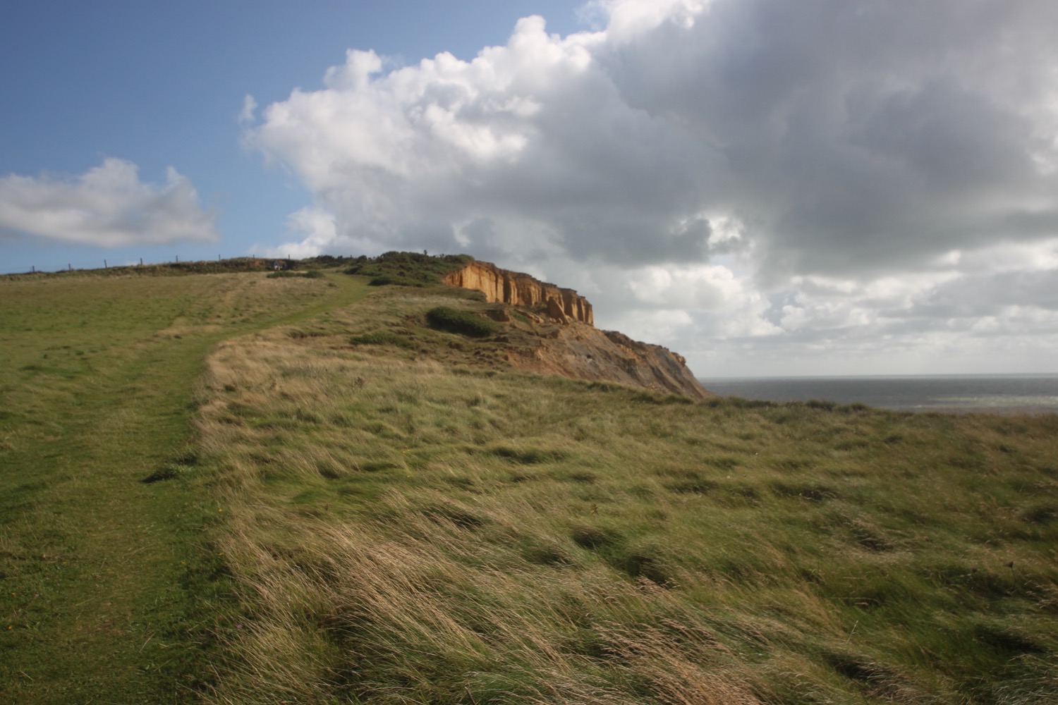
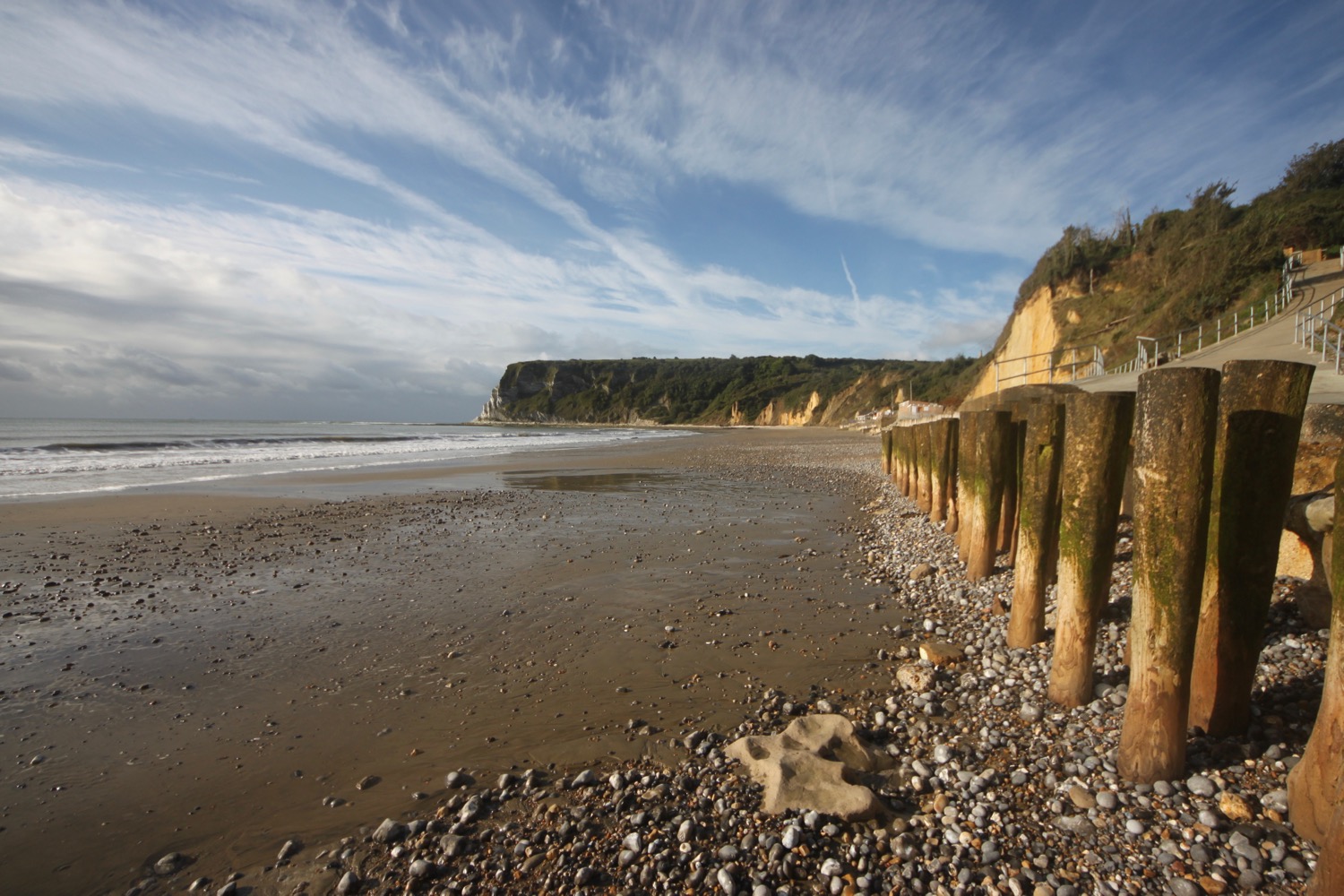
I continue along the coast path where I have a lovely view over Whitecliff Bay and the cliff is indeed white.
whitecliff bay
I leave the village of Bembridge and head along muddy paths towards Whitecliff Bay where I come across Whitecliff Bay Holiday Park.
I descend down a steep concrete path to reach the beach at Whitecliff Bay where I enjoy the sand and shingle beach even though I'm technically trespassing.
I head back up the concrete path and continue on my way and onto Culver Down where I have lovely views back over Whitecliff Bay.
view back over whitecliff bay
I come across the Yarborough Monument, a memorial to Charles Anderson-Pelham, the second Baron Yarborough, founder of the Royal Yacht Squadron at Cowes. The monument was originally erected in 1849 on the highest point on Bembridge Down but moved to this location in the 1860s when Bembridge Fort was built.
yarborough monument
I pass by the Culver Haven Inn at the end of the down and then continue on my way, walking across the southern tip of Bembridge Down where I can spy Bembridge Fort on the summit.
bembridge fort
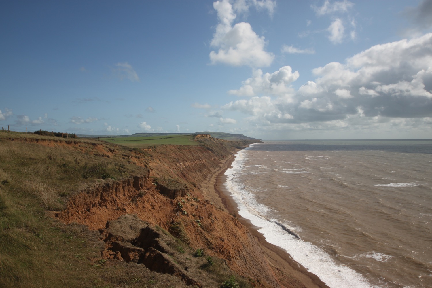
I wander along the top of Red Cliff and have lovely views over Sandown and Shanklin.
view over sandown and shanklin
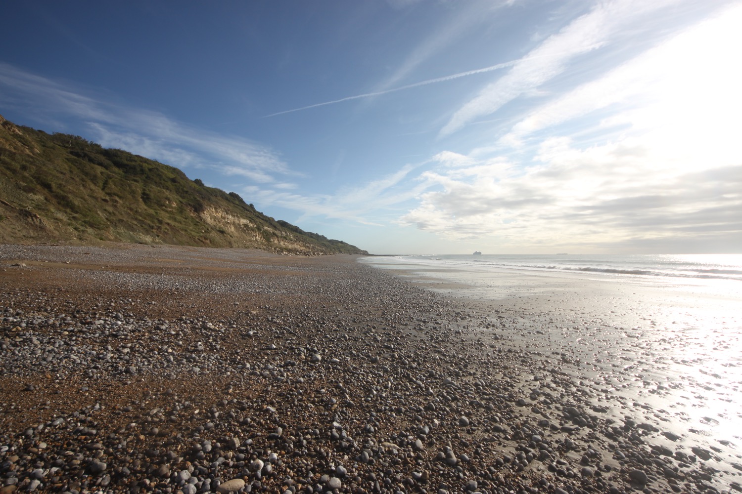
I pass the village of Yaverland where I follow the footpath down to Yaverland Beach. And what a lovely beach! The golden sand stretches back all the way to the chalk cliffs of Culver Down and behind me the orange sandstone cliffs gradually increase in height as they gradually move to white chalk.
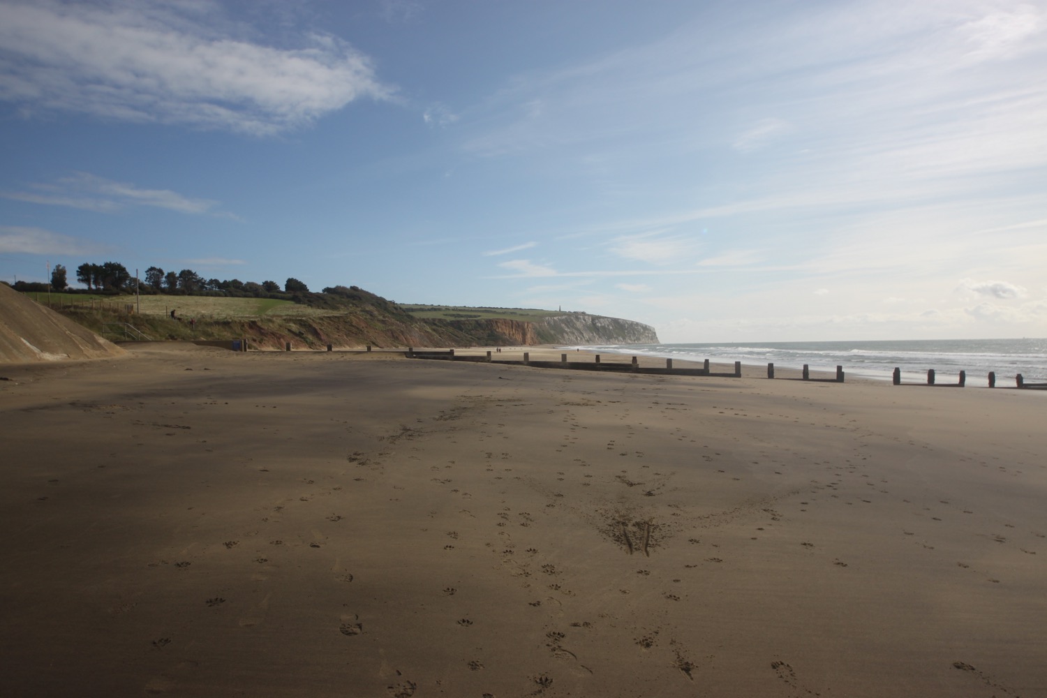
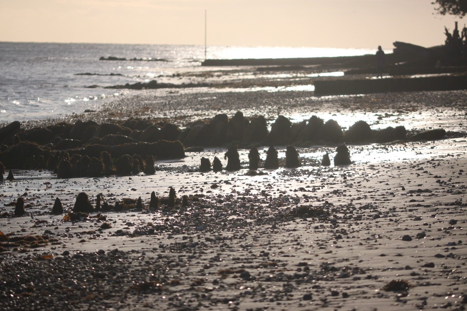
I amble happily along the golden sands towards Sandown climbing over or walking through the groynes.
The groynes become too high to clamber over so I walk up steps to the sea wall and walk along the coast path towards Sandown where I pass the Isle of Wight Zoo. My sister says it's rubbish!
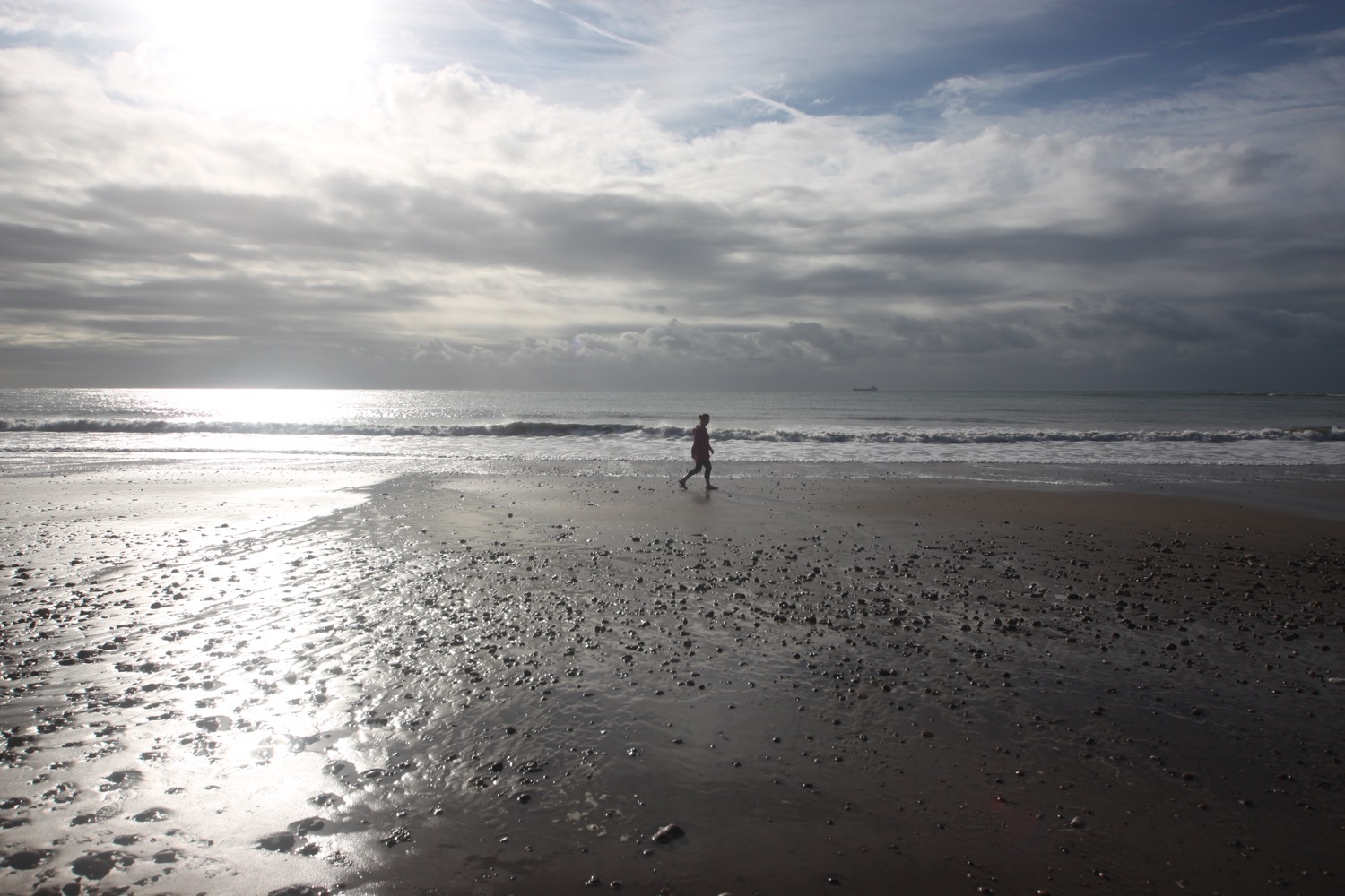
I drop down to the beach again at Sandown and amble along the golden sands towards the pier wending my way up and down the groynes. I rather like Sandown Beach!
Unexpectedly, the weather closes in and it starts to rain.
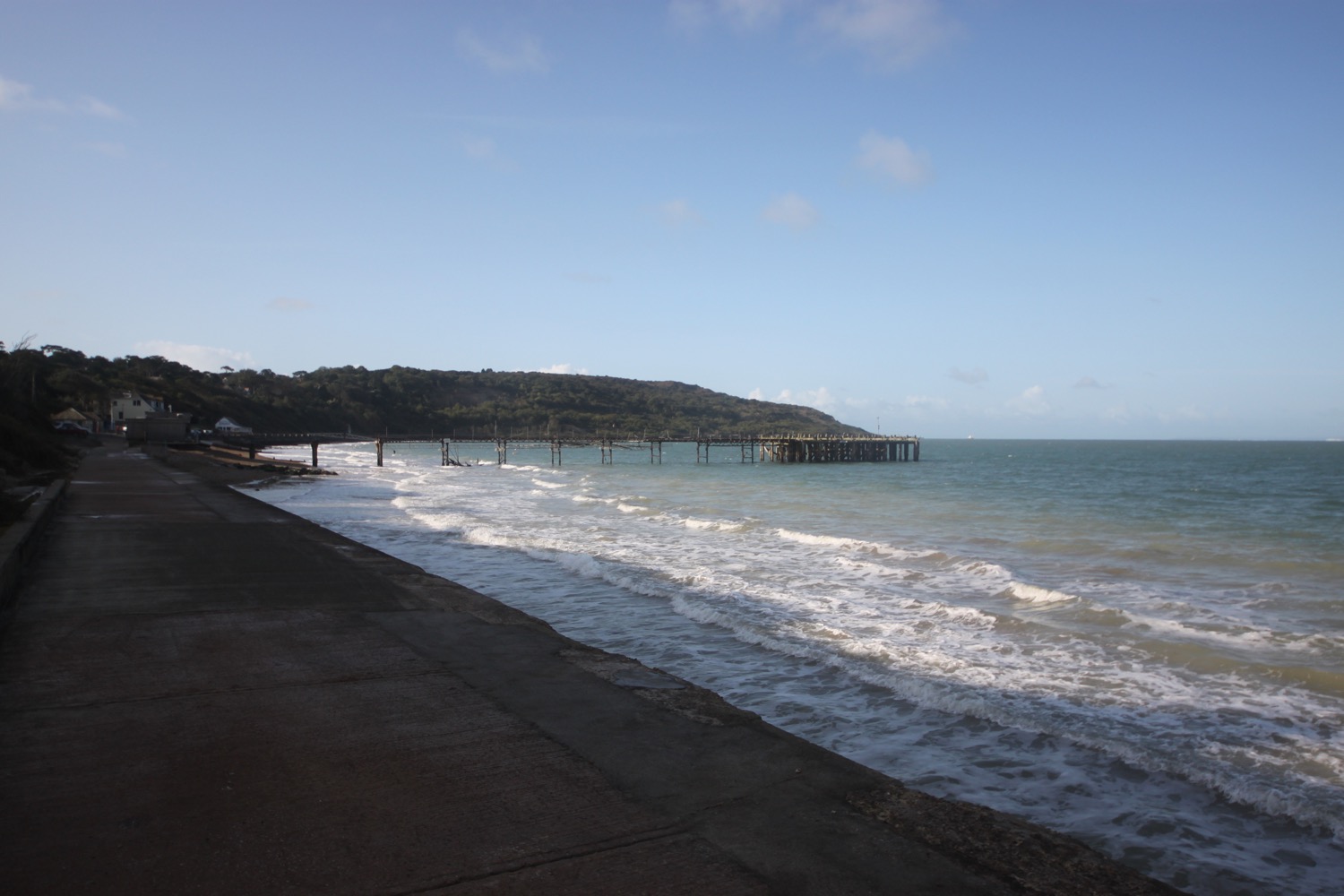
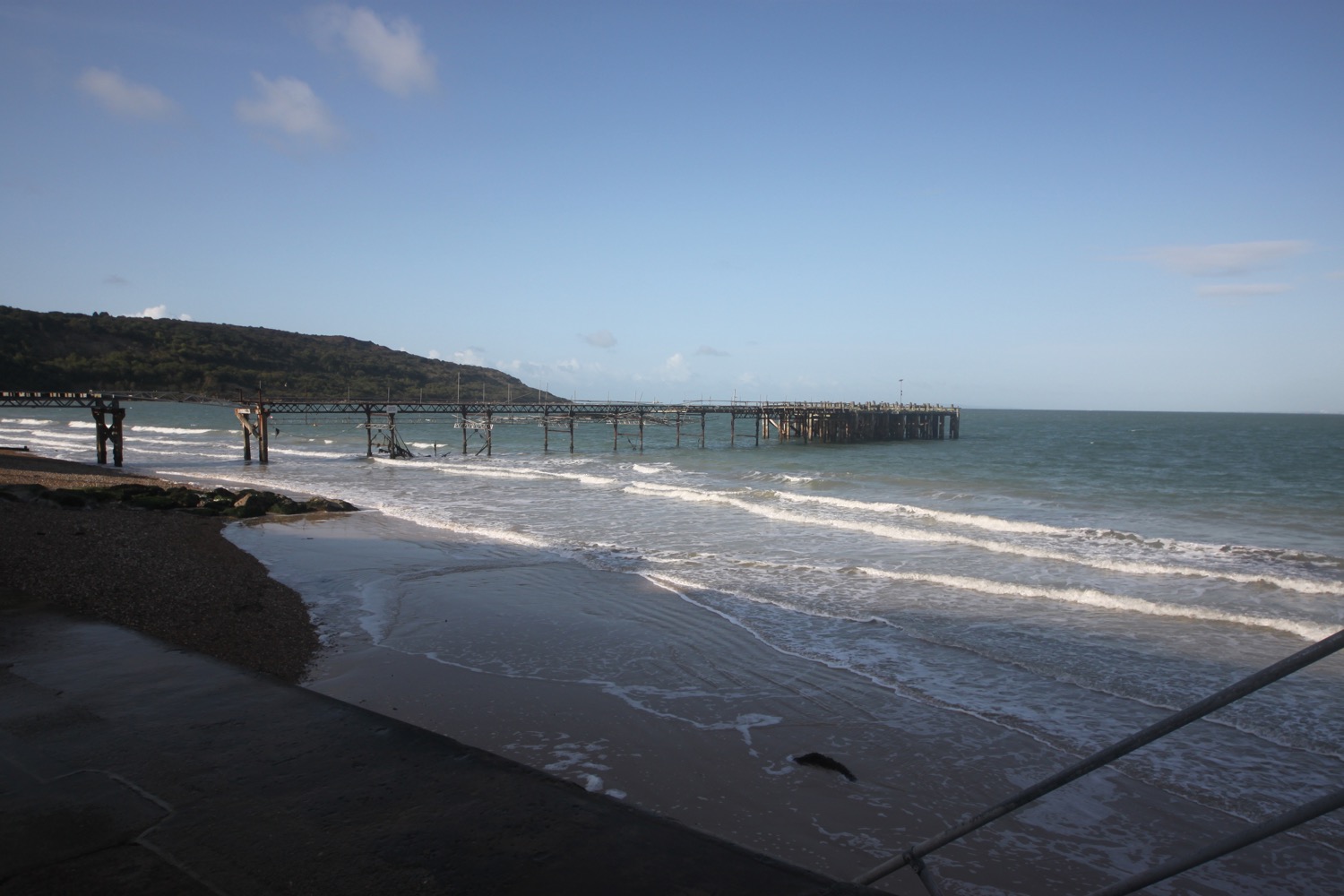
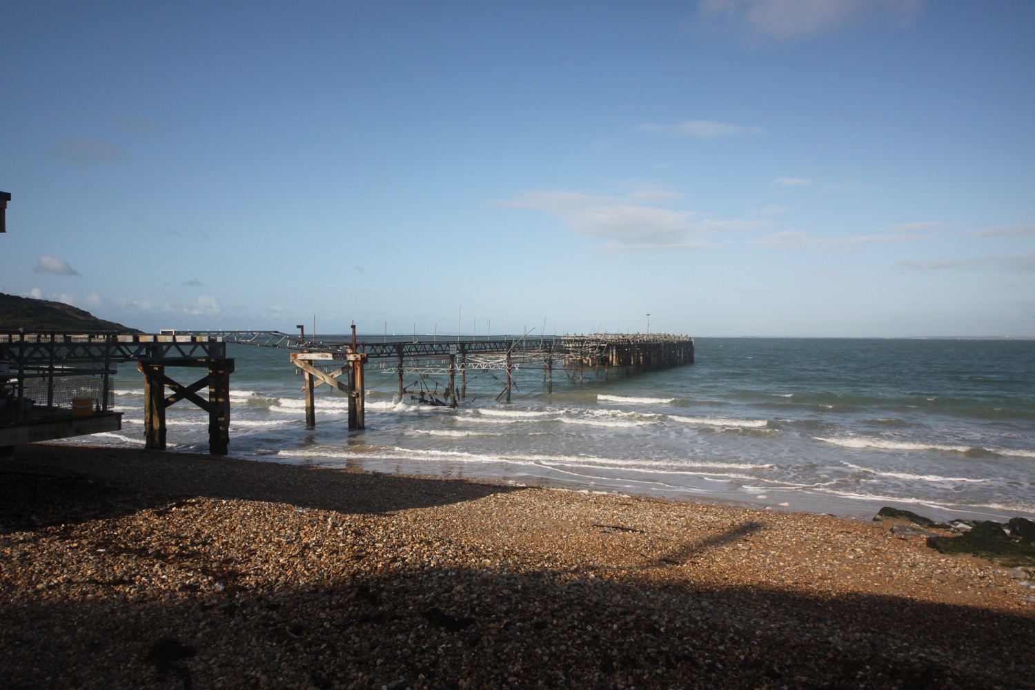
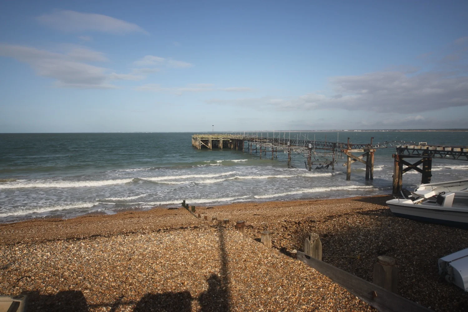
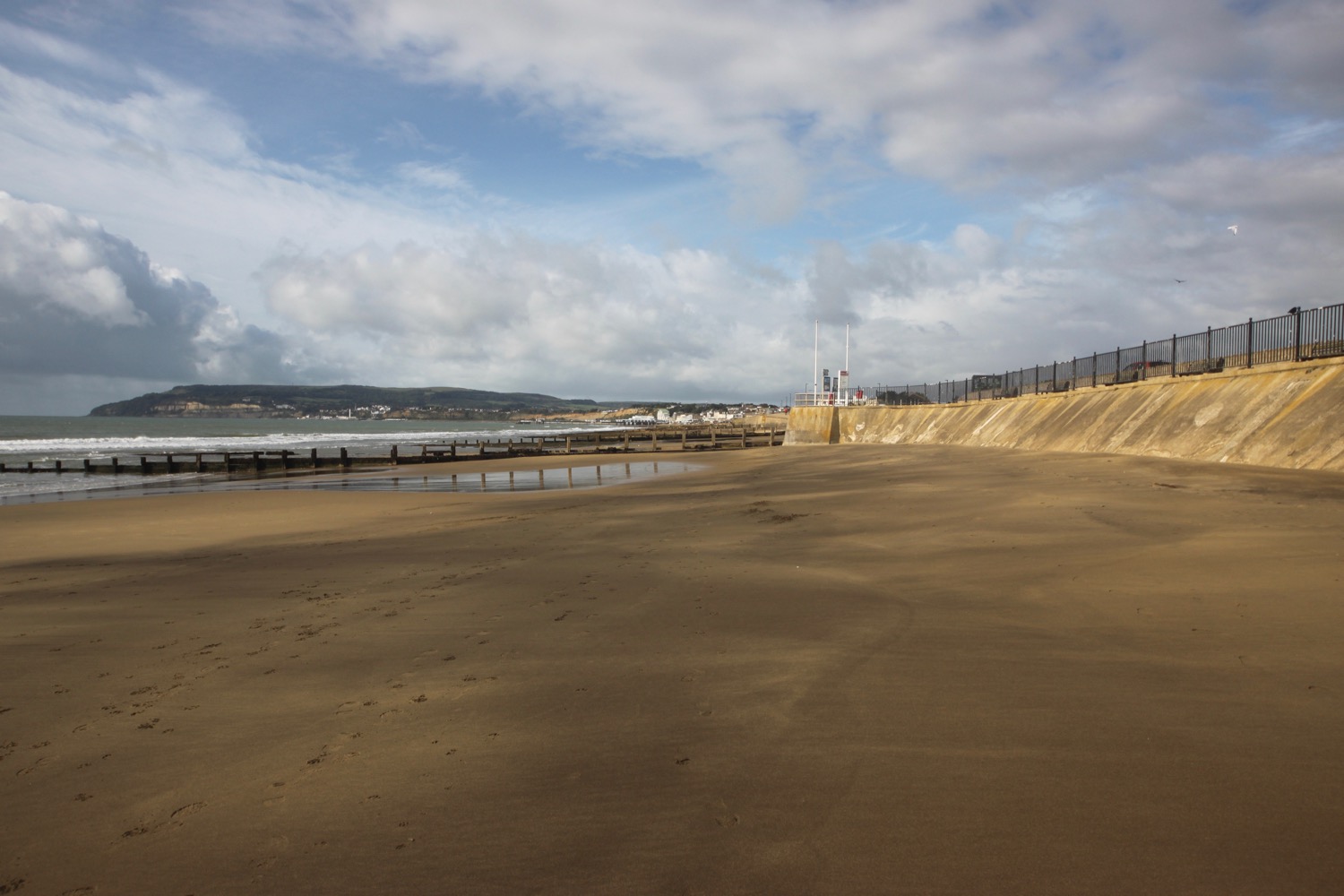
Sandown Pier is rather shabby looking today - there's nothing wrong with that! - but when it was built in 1876 it must have been a graceful structure. I wander around the amusement arcade here for a bit, avoiding the rain.
sandown pier
I head past the pier. Bizarrely the official coast path climbs steeply back up onto the cliffs and heads through Ferncliff Gardens before following a concrete path along the tops of the cliffs all the way to Shanklin.
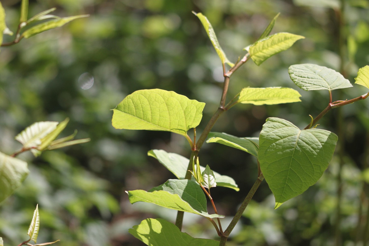
However, it looks like I can walk all the way along the revetment from Sandown to Shanklin. The weather is properly manky as I trudge along the concrete. The groynes are rather high at Shanklin Beach so I stick to the seawall where I come across some dreaded japanese knotweed. The weather suddenly improves again.
shanklin beach
I pass some kind of dinosaur park but have absolutely no idea what it's called and a quick internet search doesn't reveal any details.
dinosaur park
I climb up the road and head along East Cliff Promenade where I pass Shanklin Lift which takes visitors down onto the beach from the cliffs. The lift has recently been refurbished.
shanklin lift
I pass the Chine Inn and then Shanklin Chine, opened to the public in 1817.
shanklin chine
The coastal path signs dry up and the path is very confusing but a helpful man at the pub points me in the right direction. I climb down steps, pass Fisherman's Cottage and head along the beach for a bit before climbing up Appley Steps.
the view from appley steps
I walk along the road heading towards Luccombe Village where I pass Luccombe Hall and Bourne Hall. I follow a coastal path sign over a stile and slither through a disgusting swampy area which I could have avoided by just following the road. Mud almost comes over the top of my boots.
I walk through woodland at The Landslip, presumably named because the coast here is rather prone to erosion and landslides.
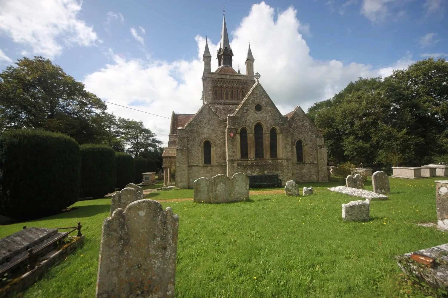
I trudge along the muddy paths before passing a wishing seat and coming across St Boniface Church above the village of Bonchurch, rebuilt in 1070.
st boniface church
It starts to rain again as i reach the sea wall at Bonchurch and it has become very blustery. I wasn't expecting this! It is a soggy walk along the seawall to Wheelers Bay. I pass Bonchurch Pottery and then come across some mosaics of glanville fritillary butterflies. This is one of the few locations in the UK where they exist. My butterfly guide says that it only occurs in a few locations on the Isle of Wight.
glanville fritillary
I come across the start of Stokey's Solar System Walk, a walk marked out on the scale of 1 inch to 100,000 miles.

stokey's solar system walk
I start the walk at the sun and pass signs for all of the planets before reaching Pluto. Stokey Woodall clearly has a much bigger stride than me!
the sun
pluto
The coast path continues along the seawall to reach Ventnor where I pass The Millbay and a rather sorry looking amusement arcade. I pass the Esplanade Clock, erected in 1870, to give the time, even on cloudy days. Unfortunately, it's telling the wrong time!
ventnor
I pass the Spyglass Inn and the weather is starting to improve again so I have a last view back over Ventnor.
ventnor
The coastal path signs have run out again. Do I head up the road through Ventnor. I've no idea. I head through a car park and luckily regain the coast path.
I pass a sign for a dinosaur labyrinth. The labyrinth is the full size and shape of a diplodocus.
dinosaur labyrinth
I head along the low cliff path and pass Flowers Brook, fed by two springs which flow from the downs above.
flowers brook
I walk along the sea defences at Castle Cove before reaching Steephill Cove and I climb steeply up a path behind the cove before climbing steps.
steephill cove
The coast path takes me past Ventnor Botanic Garden, sheltered by The Undercliff and basking in a warm and sunny microclimate.
I head along the cliffs where a fiddly path makes my walking pole strapped to my bag constantly catch the vegetation. I'm forced inland to reach the village of St Lawrence where I walk along Woolverton Road, Undercliffs, Spindlers Road and then Seven Sisters Road and then ascend steeply up High Hat where I have spectacular views back across St Lawrence.
view over st lawrence
The weather deteriorates and it is now extremely blustery and chucking it down. I follow the V71 and NT29 footpaths towards the village of Niton.
I continue along the low cliffs and emerge onto the A3055 which I follow sharply right and then head off of the road immediately left up a track. I now have lovely views over St Catherine's Point, the southernmost tip of the island, with its resident lighthouse.
st catherine's point
I can now see the chalk cliffs of High Down and should have lovely views over the south west coast and over Blackgang Chine but the weather is filthy.
I lose coastal path signs again and follow probably the wrong path down to the car park at Blackgang Chine. Due to many landslips Blackgang Chine no longer exists but it is now the home of the UK's oldest amusement park.
I follow the car park up to the A3055 and walk along the road before a footpath takes me to my destination for the day, the oddly placed car park at Chale, where my lift awaits.
The weather has been all over the place today but it has been a thoroughly enjoyable walk. I have conquered the entire coast of the Isle of Wight!
FLORA AND FAUNA
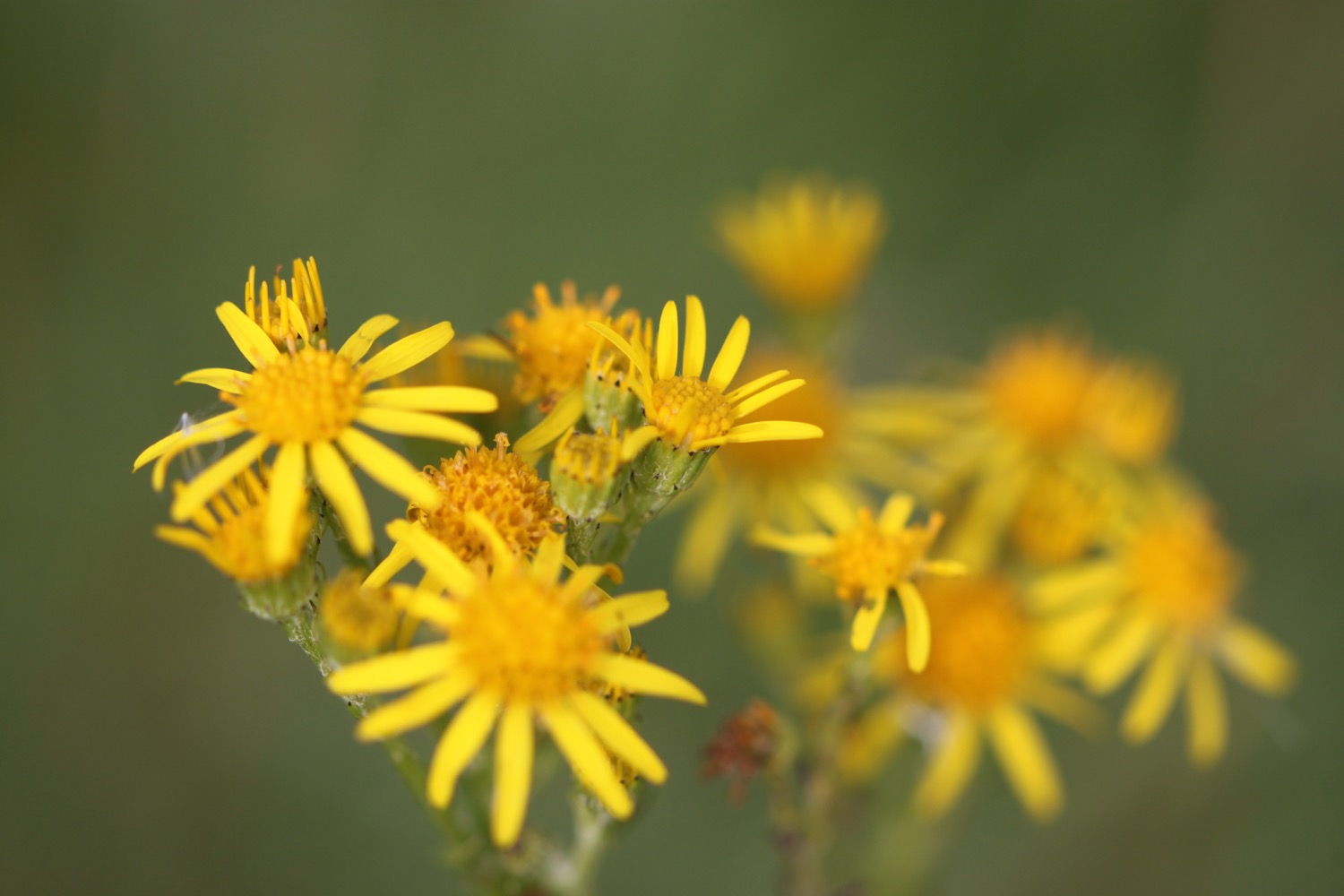
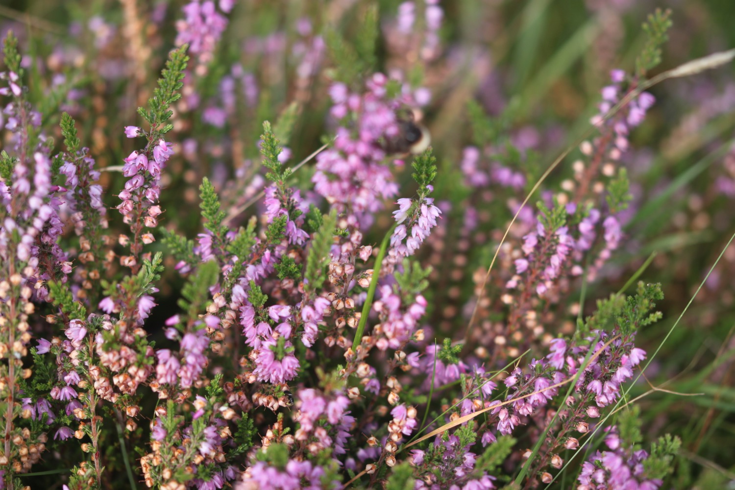
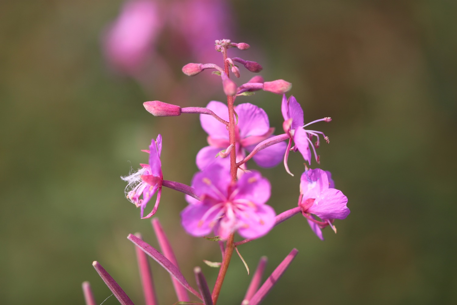
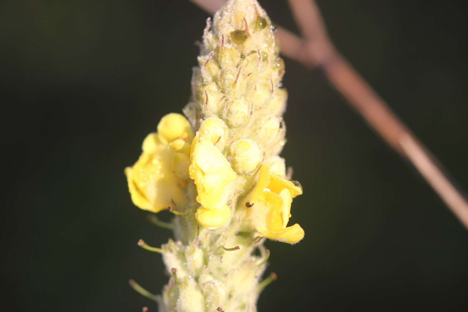
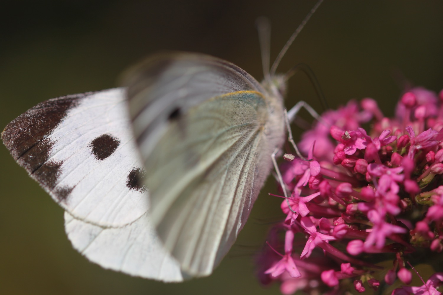
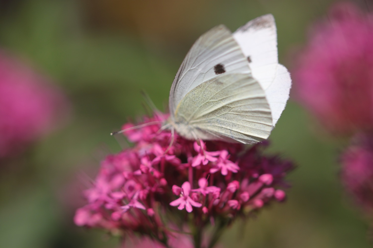
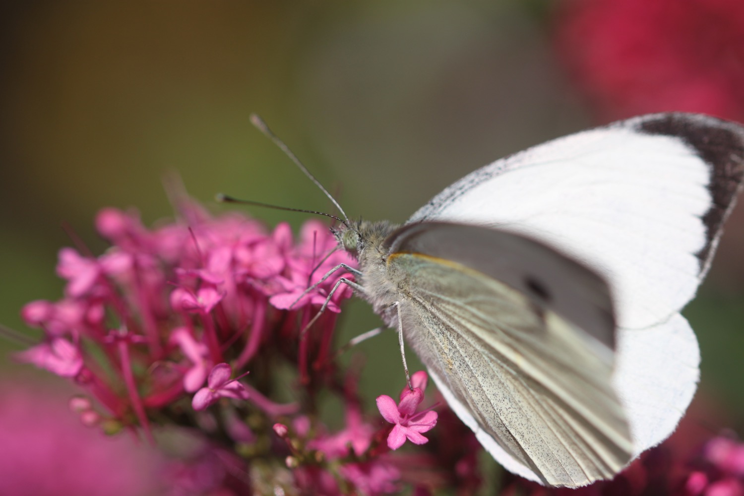
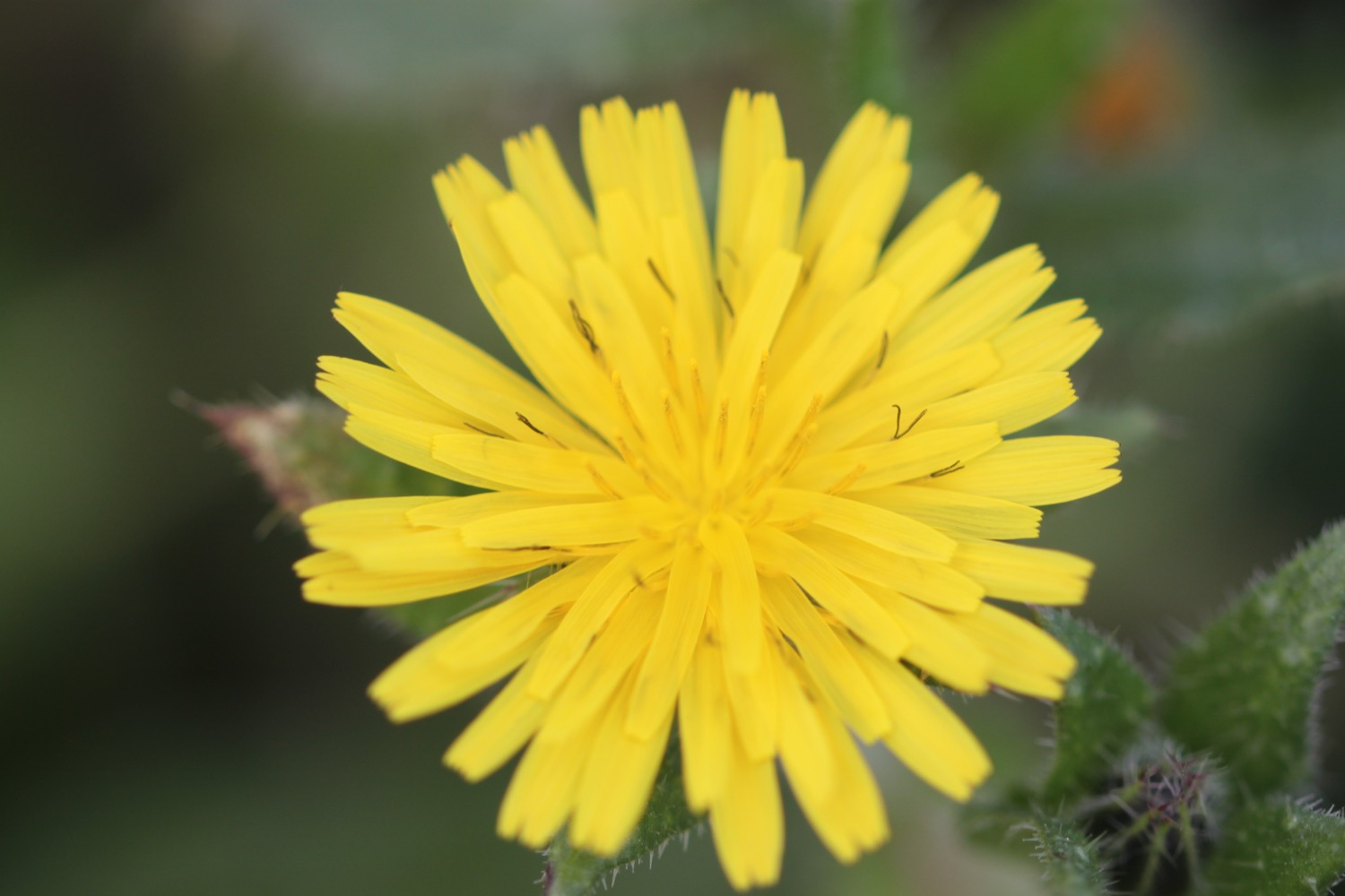
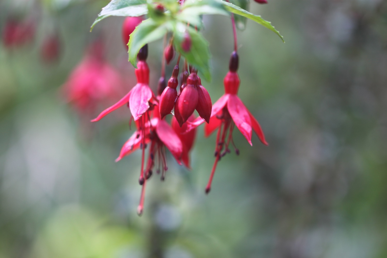
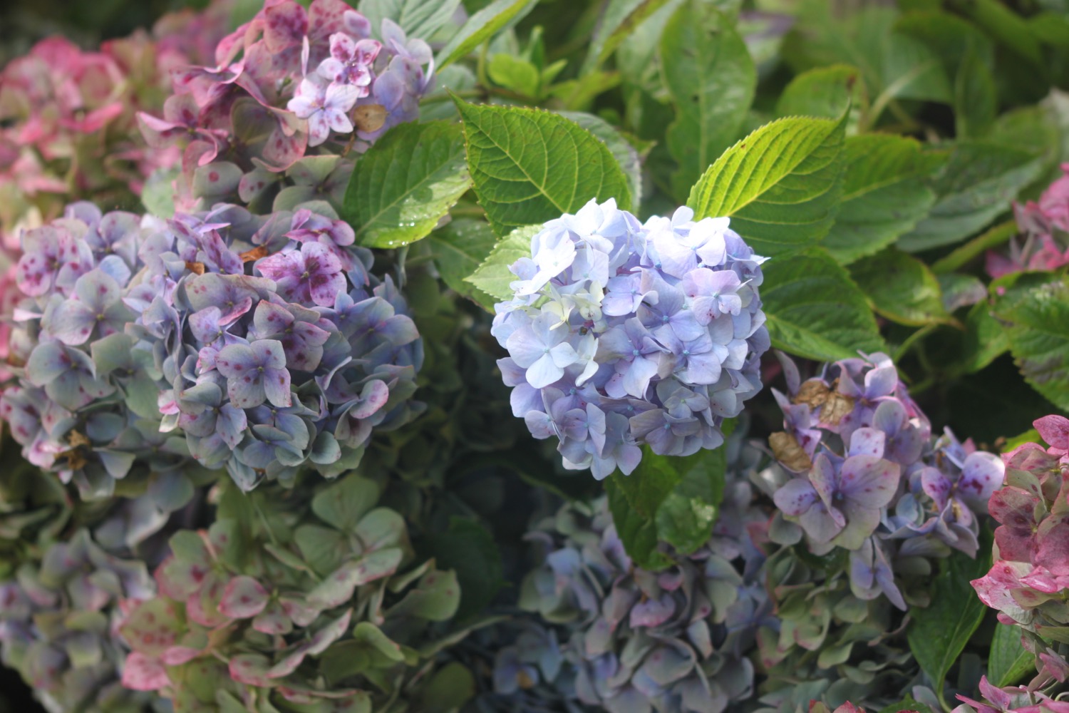
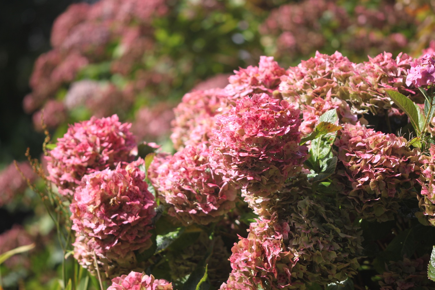
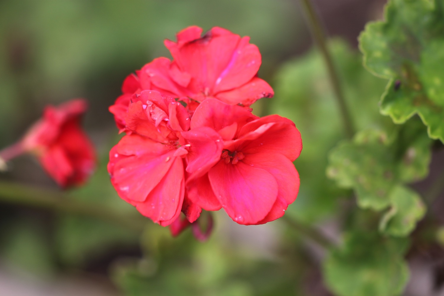
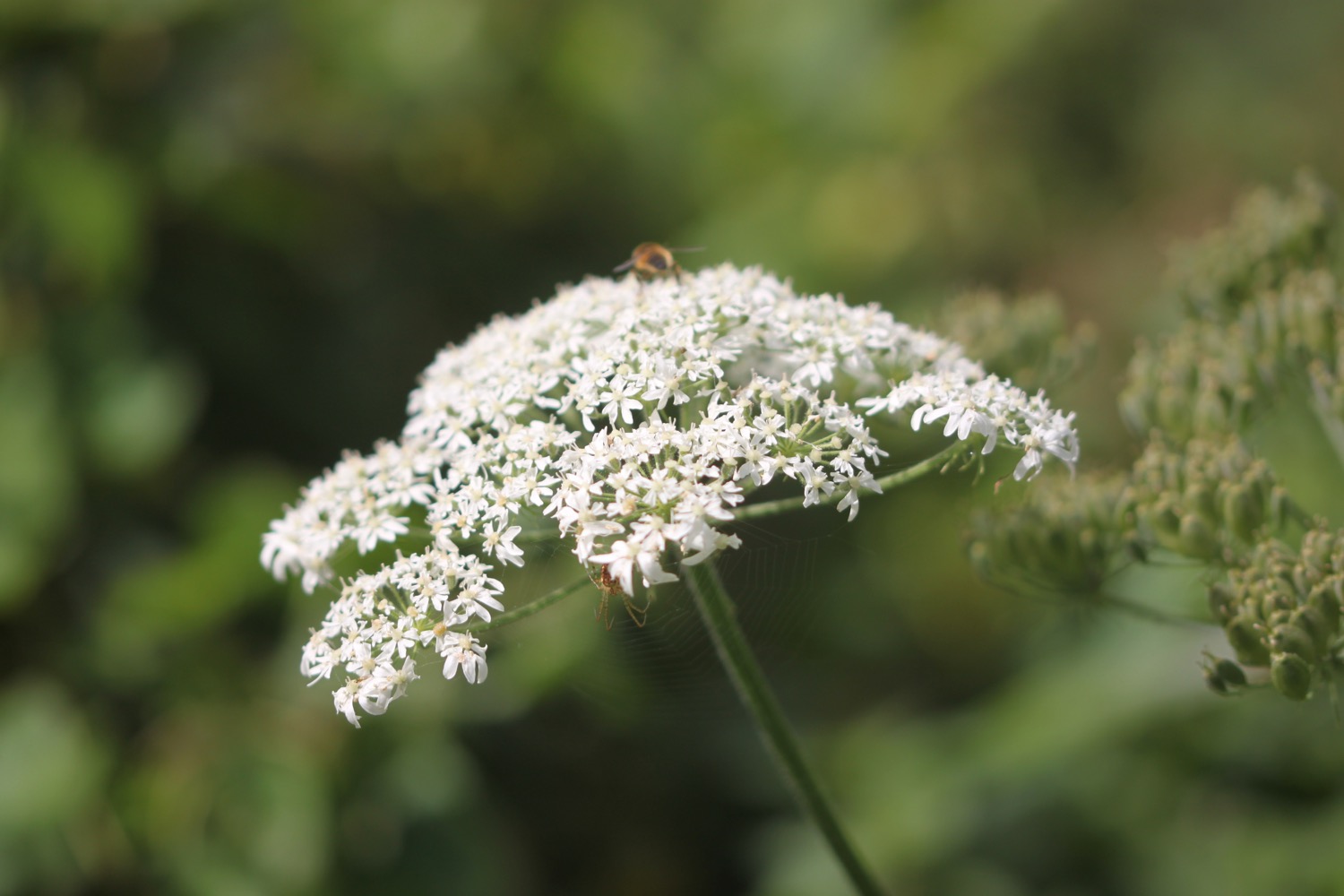
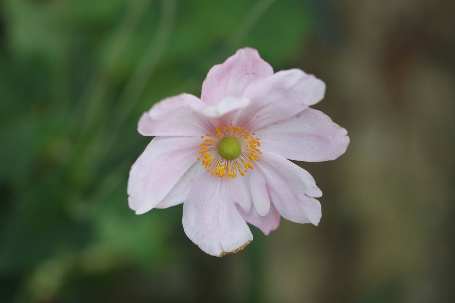
Flora and fauna encountered on the walk today includes :-
- oaks
- oystercatchers
- a little egret
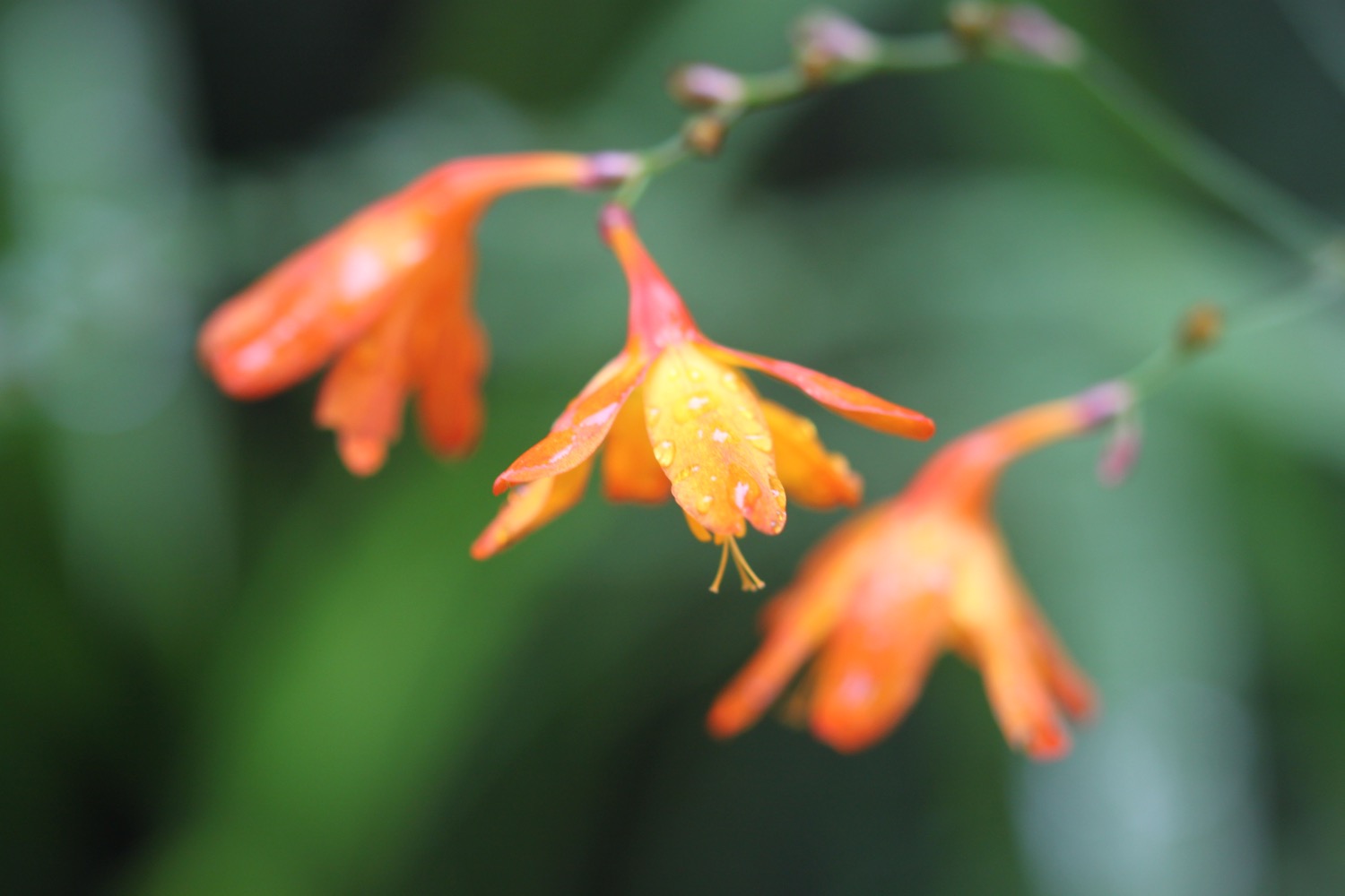
- red valerian
- swans
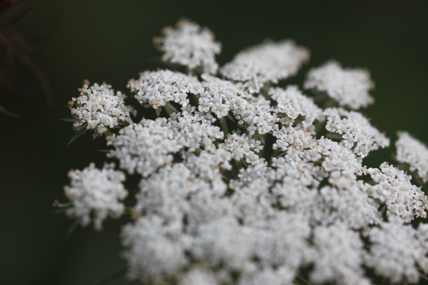
- fennel
- housemartins
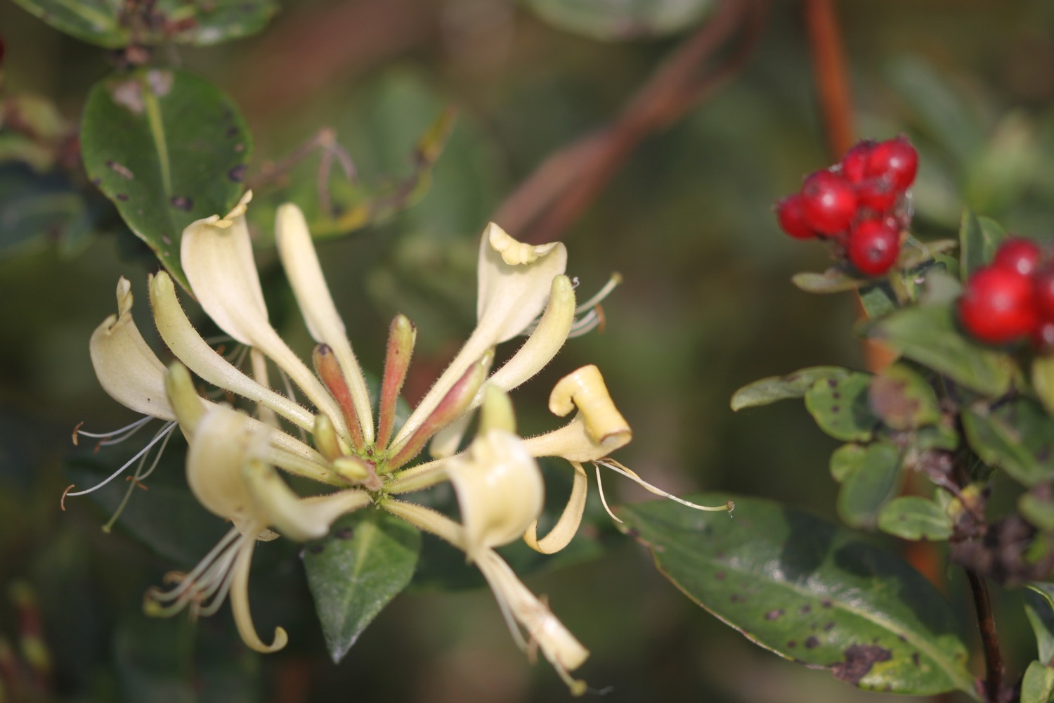
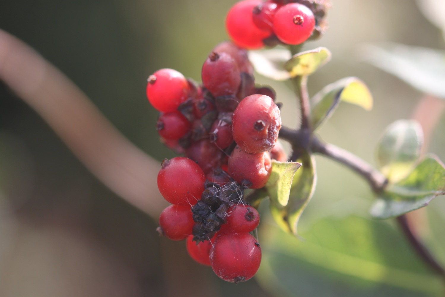
- hips and haws
- sloes
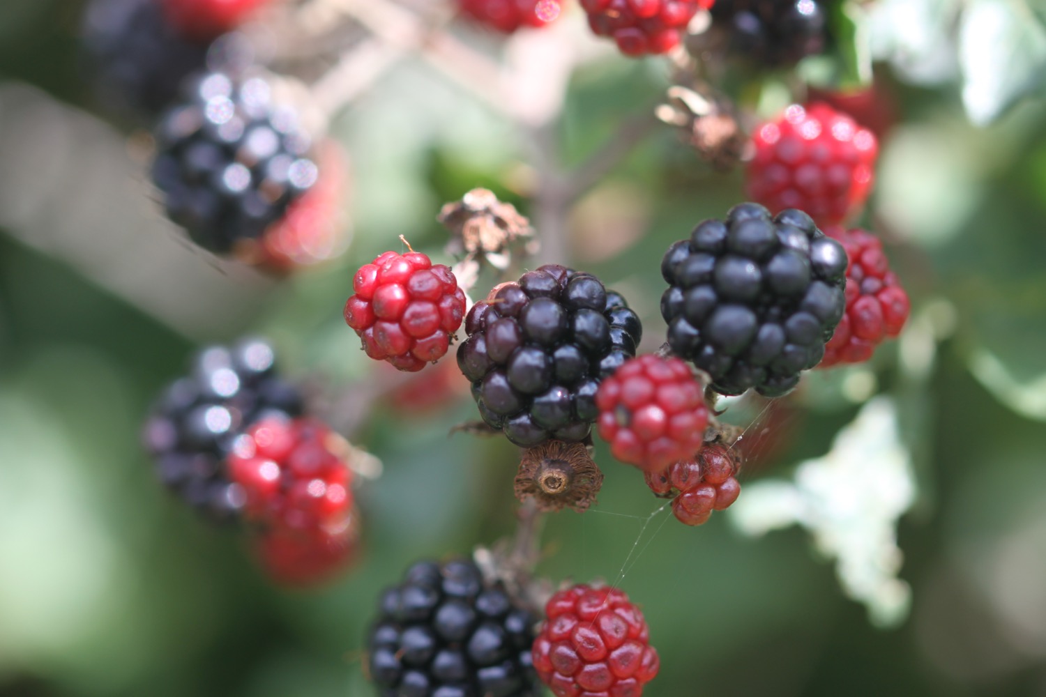
- blackberries
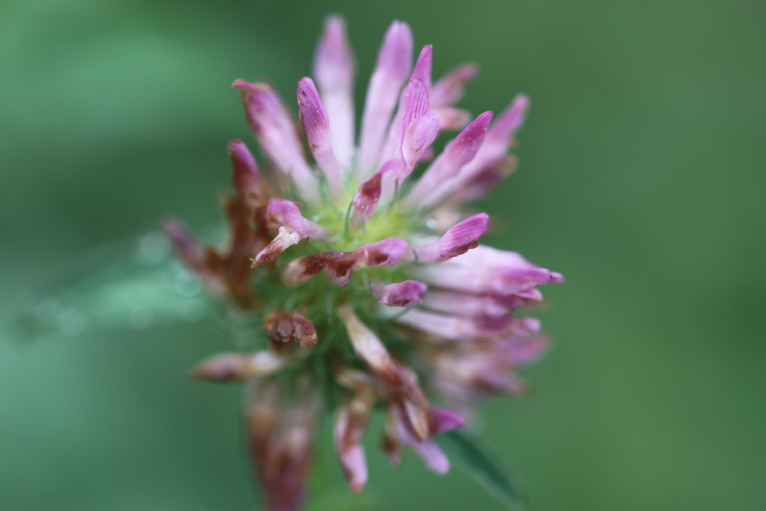
- clover
- peregrines
- sea aster
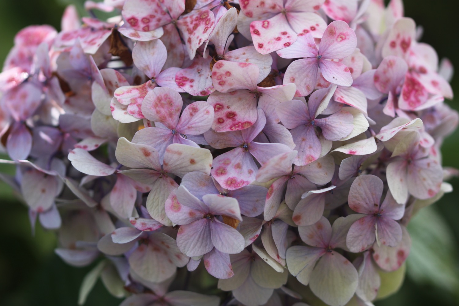
- hydrangeas
- red hot pokers
- japanese knotweed
- red admirals
- rosebay willowherb
- japanese anemones
- cyclamen

PODCAST
The podcast of today's walk is now available. You can subscribe via the iTunes store or listen using the player below.

MARKS OUT OF TEN?
According to my phone I've walked 21.1 miles today which amounts to 48824 steps. That's a long way again. Despite some passages of filthy weather it has been a lovely day of walking. Ten out of ten!
My total ascent today has been, err, I don't know as my Ordnance Survey app has failed for a third consecutive day. More than previous days but still not very taxing.
MAP
bembridge harbour
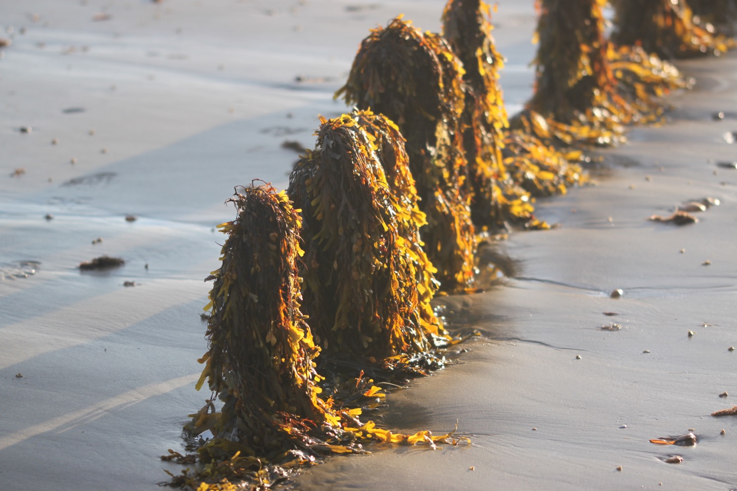
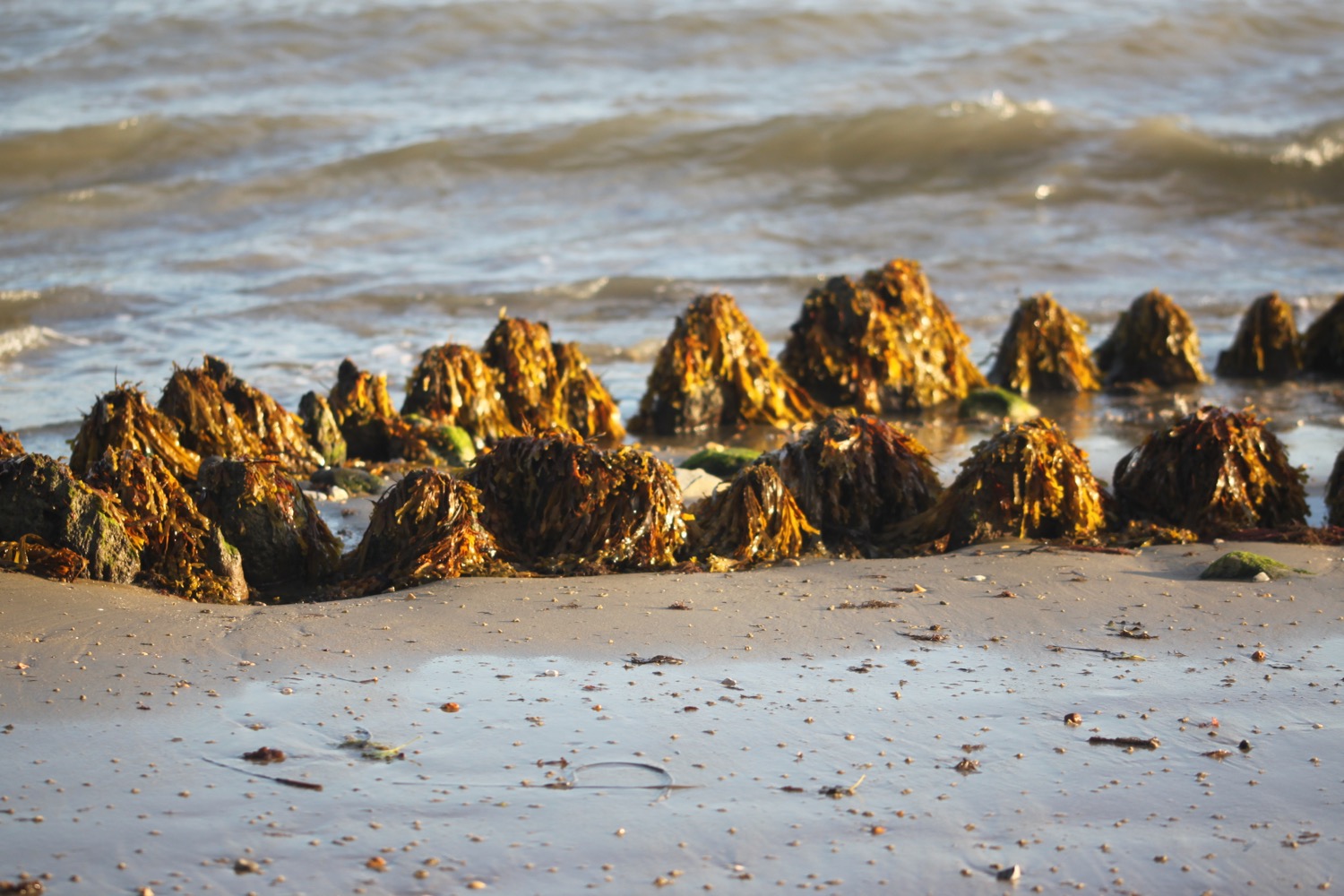
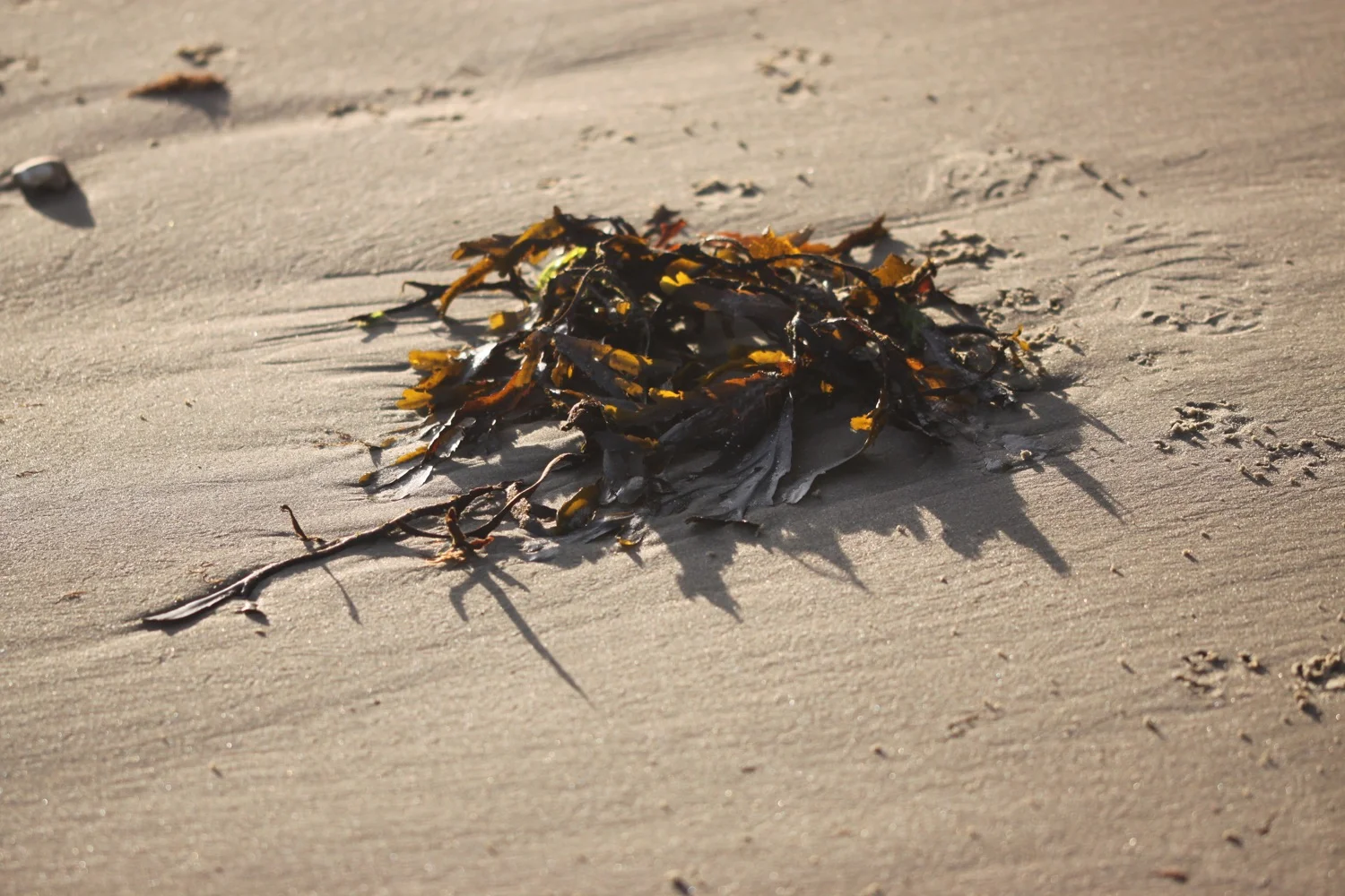
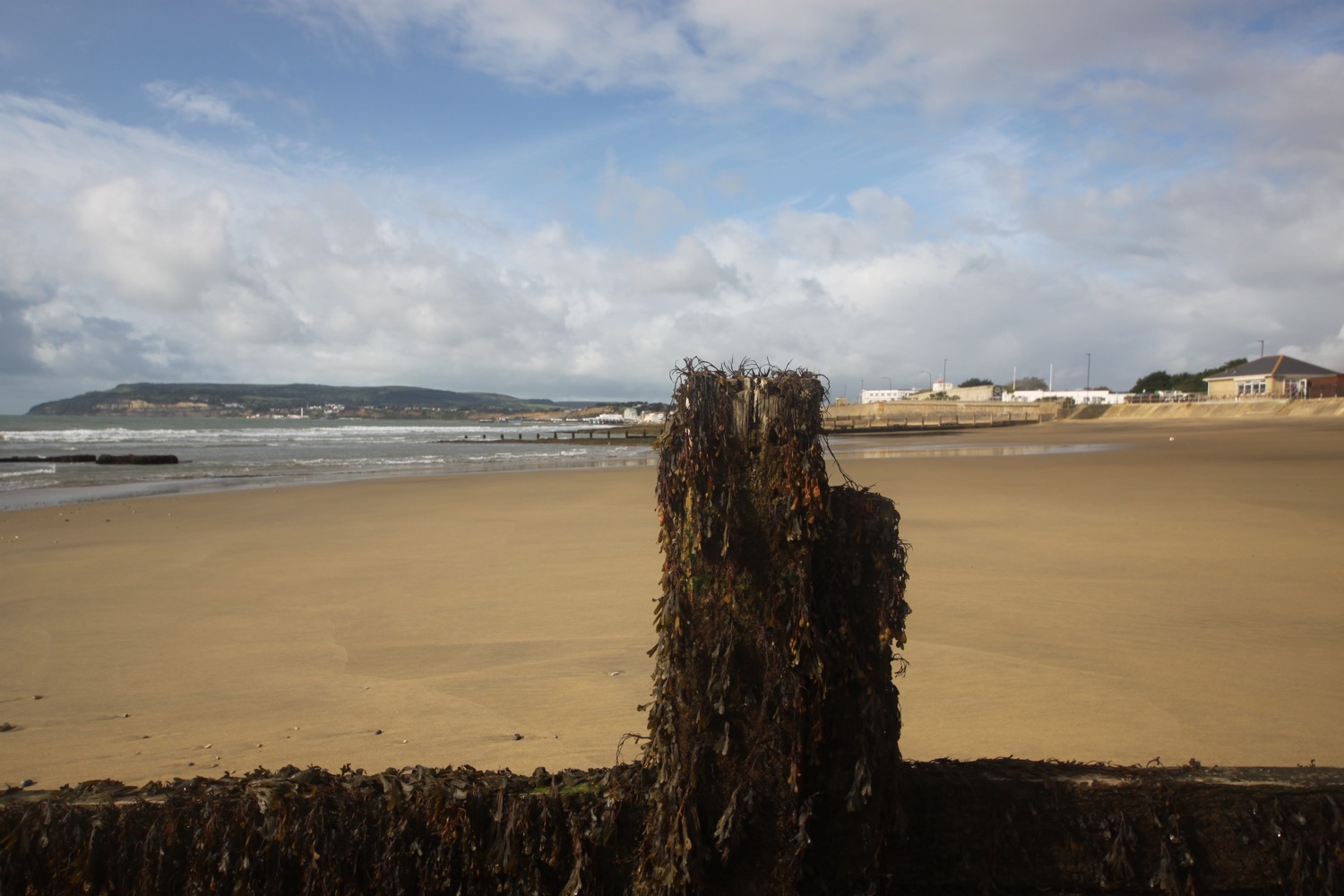
seaweed
bembridge lifeboat station
whitecliff bay
stokey's solar system walk
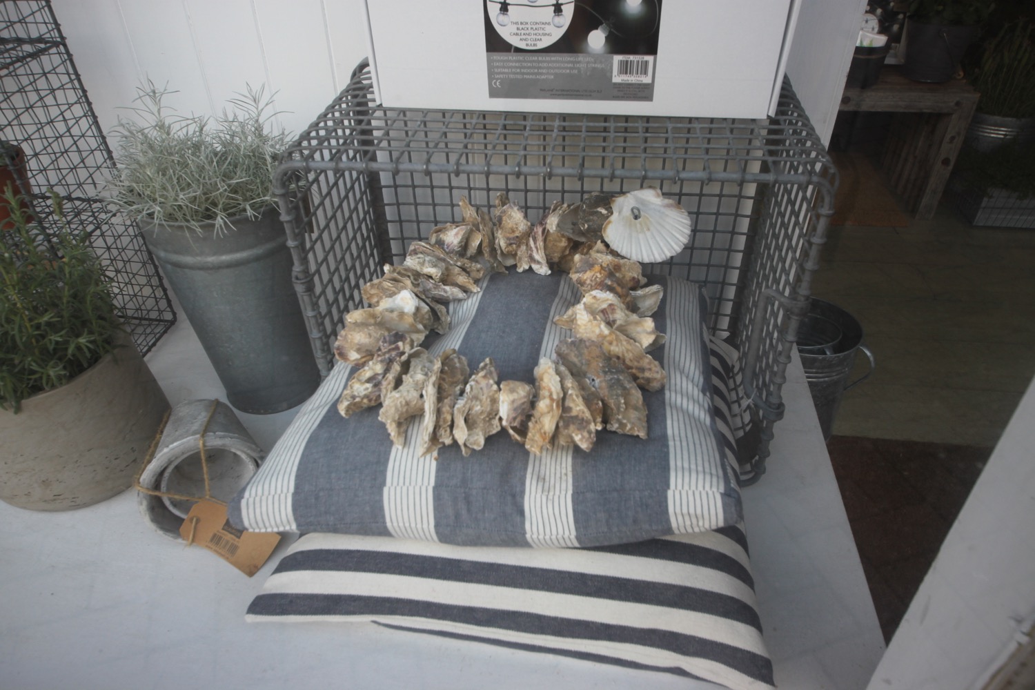
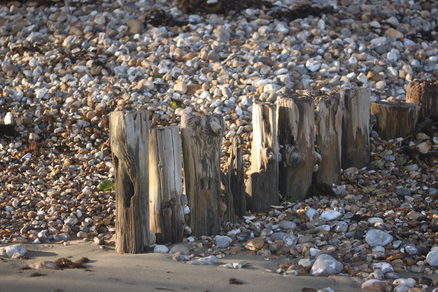
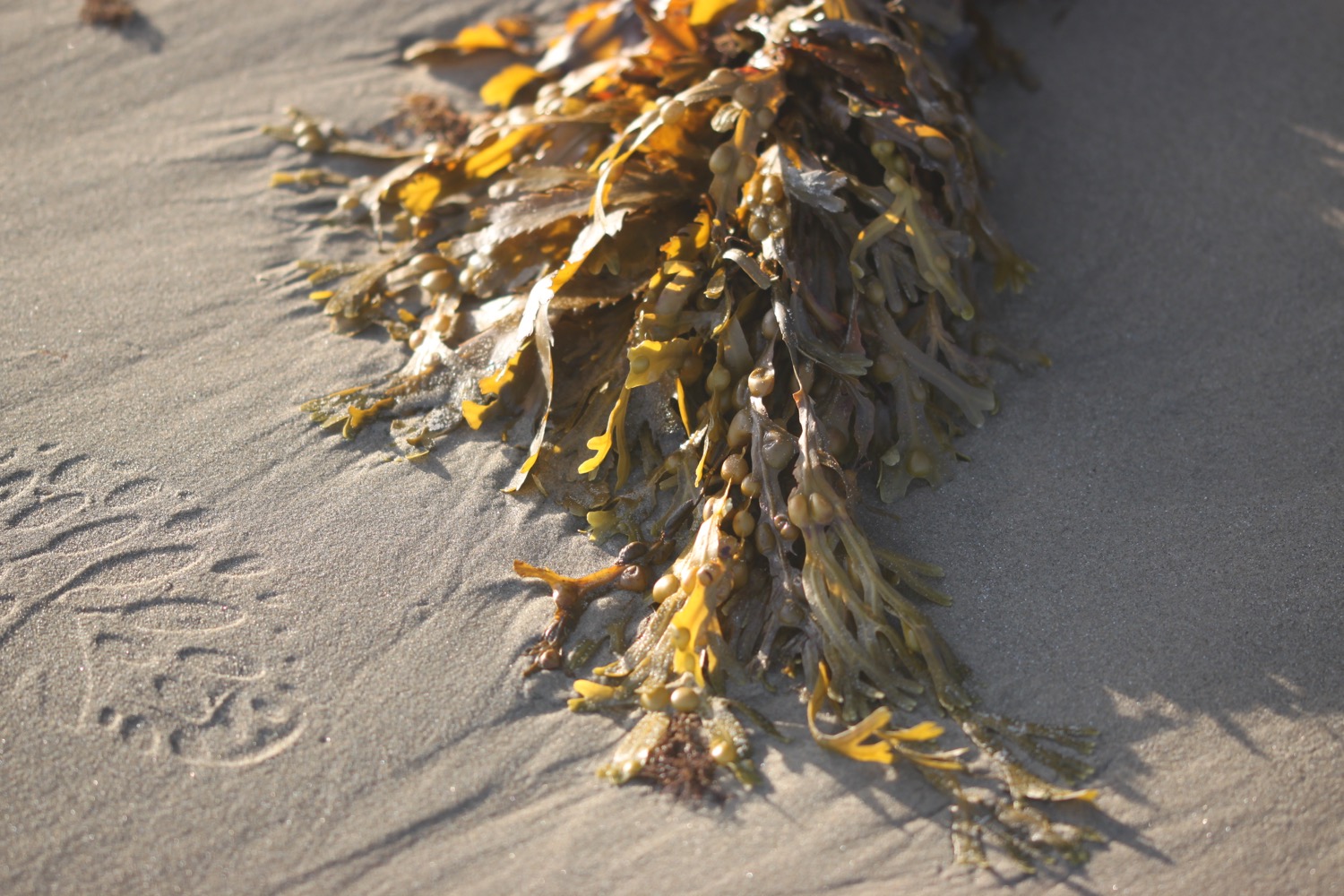
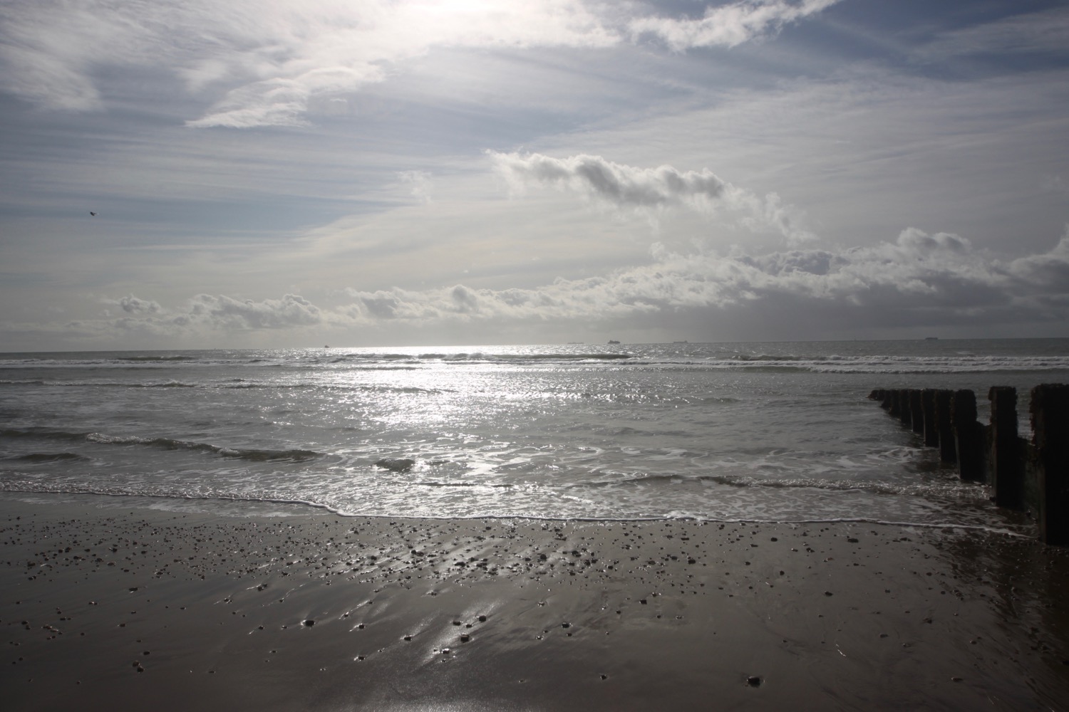
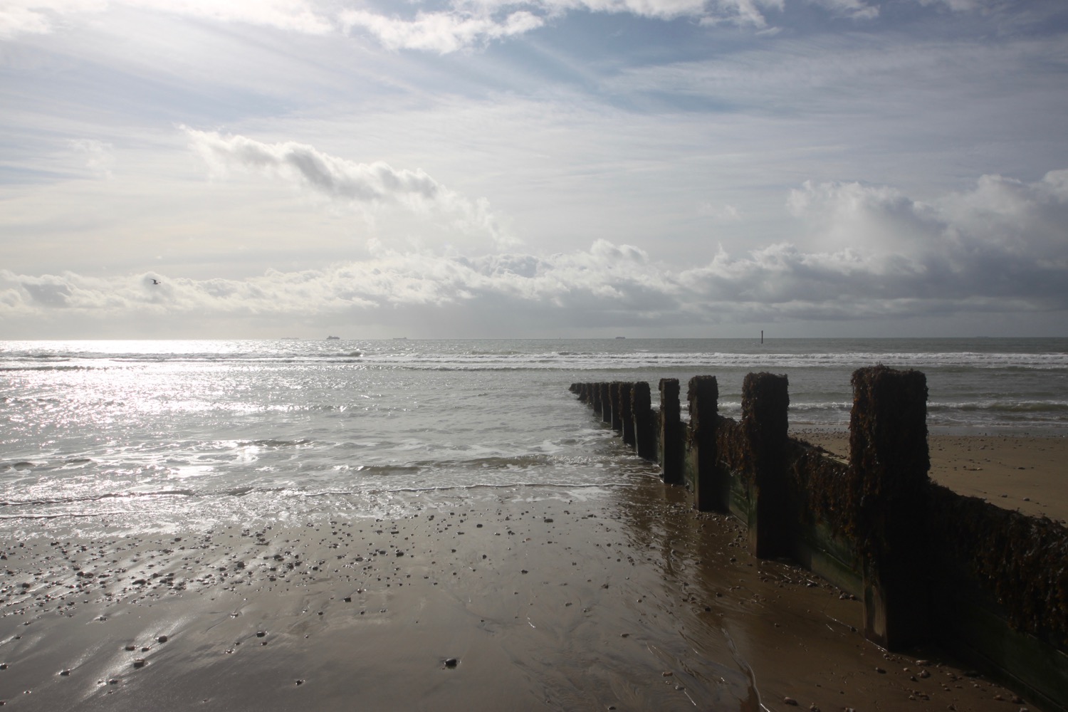
beach collection