
golant to looe via fowey
south west coast path
7th september 2013


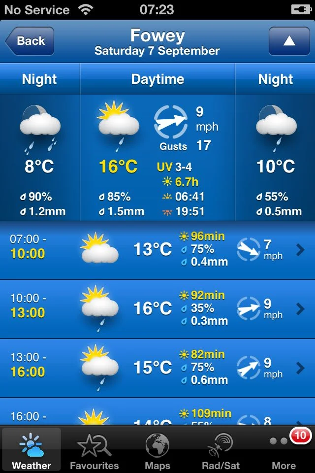
The weather forecast for the day is pretty good. I've strapped my waterproofs onto my bag anyway but it doesn't look like they will be needed today.
The day begins with a trek down the bank of the River Fowey to catch the early-ish ferry over to Polruan. The ferry starts at 07:30 on a Saturday allowing for the early start.
Normally I'd follow the walks as detailed in Paddy Dillon's book 'The South West Coast Path' so the week's walking would normally be Mevagissey to Polmear, followed by Polmear to Polperro, Polperro to Portwrinkle and then Portwrinkle to Plymouth. However, since we're staying in Golant for the week, today's walk will be from Golant on down to Fowey and then onwards to Looe.
After crossing the River Fowey a small, sandy beach can be found at Polruan Quay unless the tide is in, which it was today. The start of the walk proper begins at the Lugger Inn on The Quay at Polruan before passing Polruan's second pub the Russell Inn. Both were closed at this early hour of the morning so it was time for some serious walking.
lugger inn
lantic bay
The path climbs to reach the National Coastwatch Station before reaching Lantic Bay. A white sand and shingle beach is found at Lantic bay, reached via a steep cliff path and this beach is normally very quiet, as it was today. On leaving the beach the path heads towards Pencarrow Head.
The path becomes a roller-coaster before dropping steeply into West Combe and over a footbridge above a waterfall. The coast path turns to the left but I head to the right instead to gain access to the lovely Lansallos Beach. The beach is a small, sheltered sand and shingle beach and is not well known so usually very quiet. I had the beach all to myself.
lansallos beach
Back on the coast path, more footbridges are encountered before passing an obelisk daymark, even more footbridges and eventually reaches Raphael Cliff and its fine views.
Chapel Cliff is reached before the path climbs down to the harbour at Polperro. A small, sandy beach can be found here just outside of the harbour wall, only available at low tide.
polperro
Polperro
Polperro is a village and fishing harbour within the civil parish of Lansallos. It is situated on the River Pol and is well known for its idyllic location, surrounded by tightly packed old fisherman's houses which makes it attractive to tourists, particularly in the summer months. The village still has a small fishing fleet and you can also find the Polperro Heritage Museum of Smuggling and Fishing here.
blue peter inn
The path continues past the Blue Peter Inn and the area where the fish is landed in Polperro and then continues around the harbour crossing the River Pol at the House on the Props tea room and restaurant.
The path goes along The Warren, around Downend Point passing a granite war memorial and heads on towards Talland Bay. Talland Bay has two sand and shingle beaches - Talland Sand and Rotterdam Beach. The Talland Bay Cafe is passed followed by the Smuggler's Rest Cafe.
talland bay

looe (or st georges) island
The path reaches Hendersick and then passes the Hore Stone, just offshore, and there is a view over Portnadler Bay to St George's Island. The path continues around Hannafore Point and Looe comes into view. Hannafore beach can be found here which is mostly rocky but does contain some sand and shingle.
The path continues down a road and then drops down to the harbourside. You can catch a ferry over from West Looe to East Looe but, instead, I headed along the harbourside and used the roadbridge to cross the River Looe, on the way passing Tom Sawyers Tavern, the Jolly Sailor Inn and the Harbour Moon Inn.
looe
Looe
Looe is a small coastal town and fishing port and is divided by the River Looe into two, West Looe and East Looe. The town is situated around a small harbour and along the steep sided valley of the River Looe which flows between East and West Looe to the sea beside a sandy beach.
The Looe Tourist Information Centre can be found on Fore Street in East Looe and the Old Guildhall Museum and Gaol on Higher Market Street offers plenty of history about the town.
Flora and fauna
Flora and fauna encountered on the walk today include :-
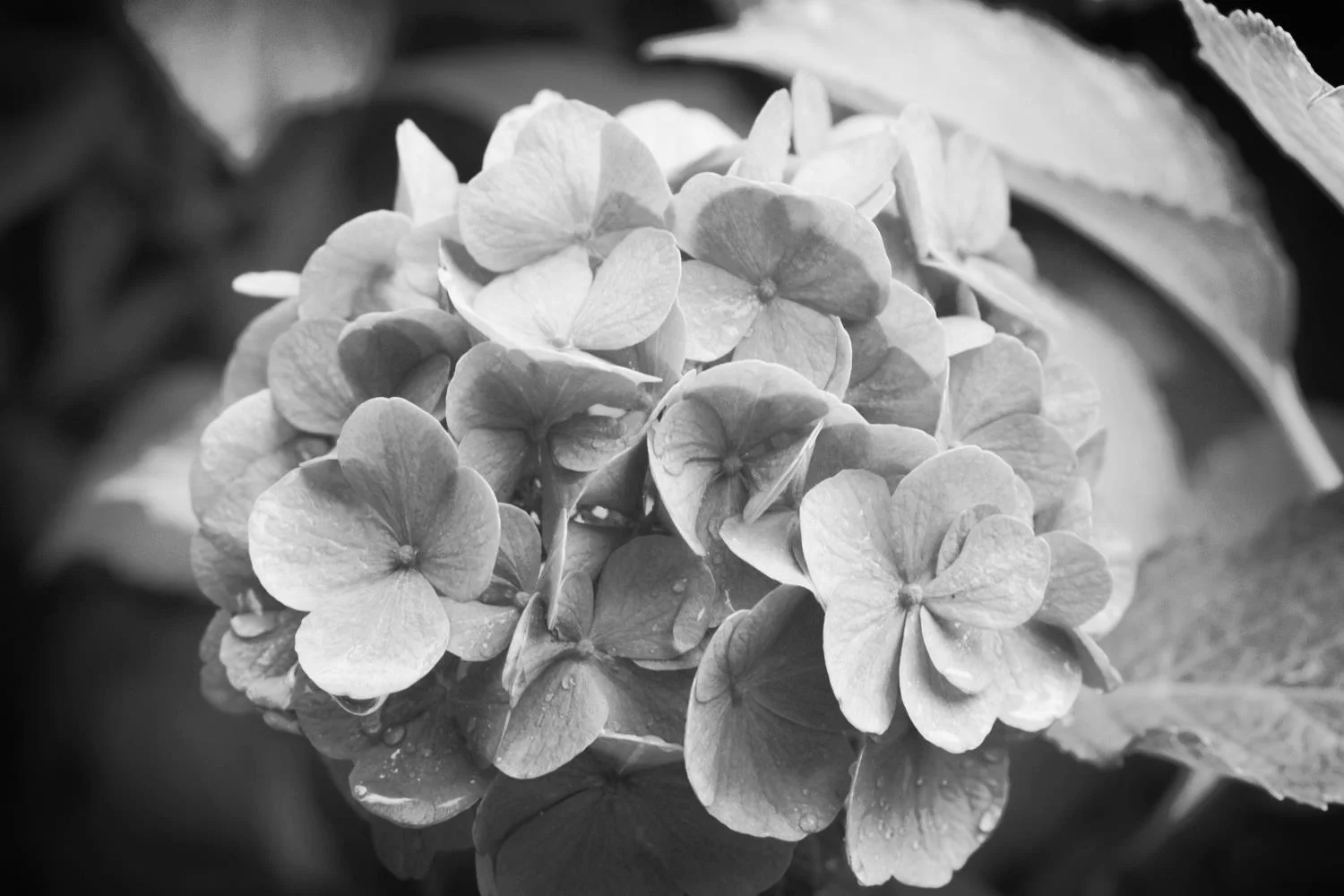
- hydrangeas
- penstemons
- alpacas
- cows
- honeysuckle
- japanese knotweed
- swallows
honeysuckle
Podcast
The podcast of today's walk is now available. You can subscribe via the iTunes store or listen using the player below.


Marks out of ten?
According to my phone I've walked 18.2 miles today which amounts to 39053 steps. The walking today has been lovely so I'd give the walk an 8 out of 10. I'm seriously thirsty so it's off back to the Fisherman's Arms for some refreshing Doombar.
doombar
View golant to looe in a larger map
fowey


