
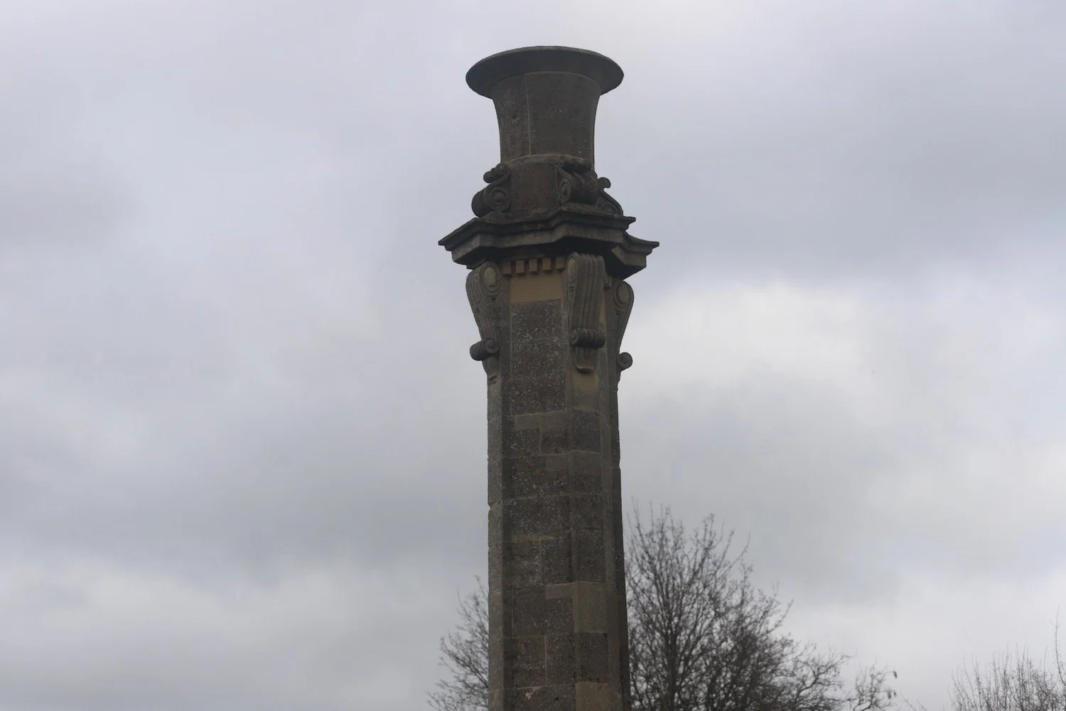
bath skyline
tuesday, 24th february 2026
Map: Explorer 155
We’re staying in Bath for a few days partly as a birthday celebration, partly as a retirement celebration, and most importantly because there are loads of bookshops in Bath and we intend to bring home with us plenty of books.
I haven’t been to Bath in a long time so while I’m here I’m taking the opportunity of walking the Bath Skyline.
We’re staying in an apartment just outside the city centre so I start my walk here and head towards the start of the Bath Skyline on Bathwick Hill.
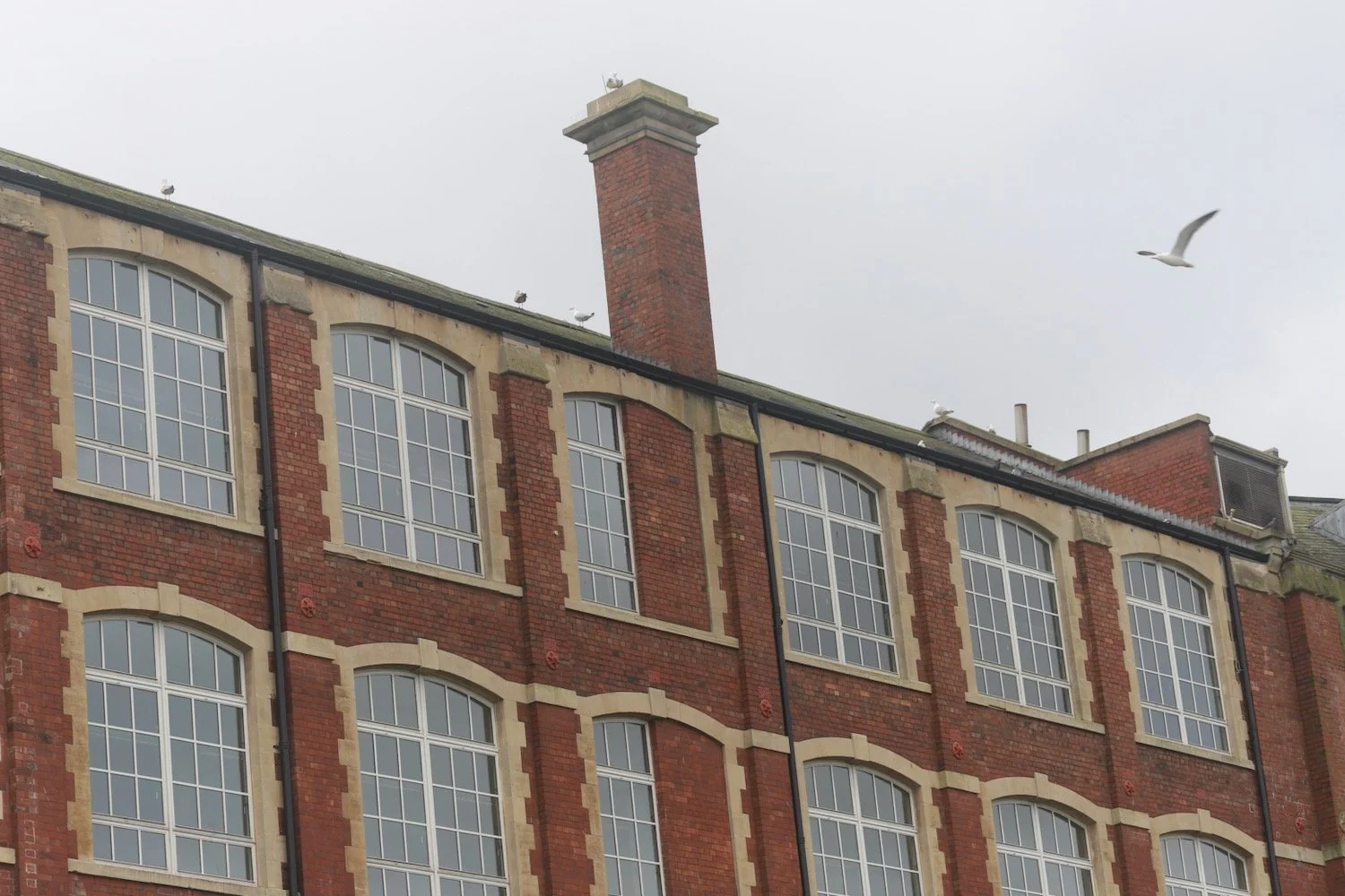
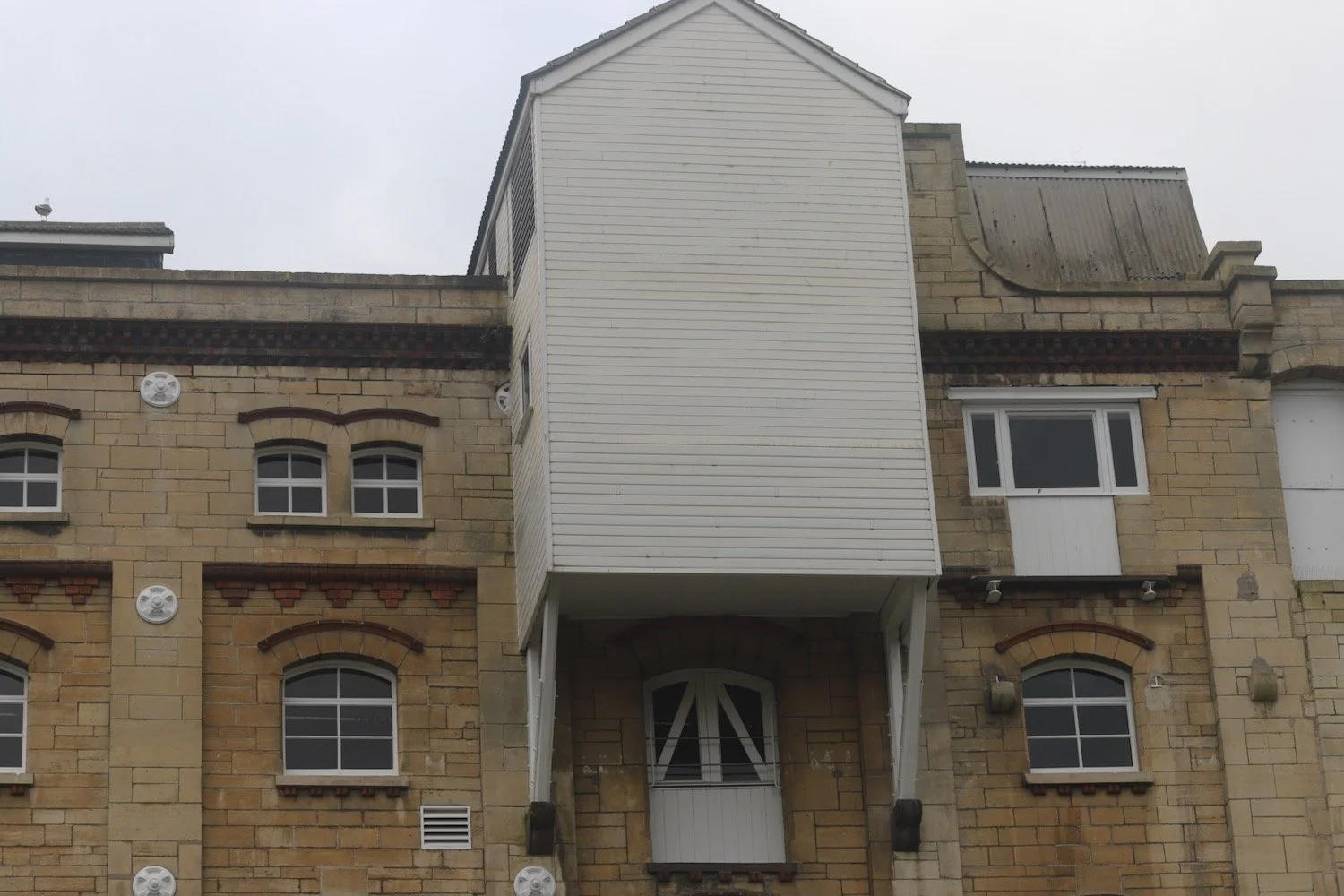
I head across Lower Bristol Road and join the River Avon where I cross a footbridge over to the other side of the river. I amble along the riverside behind Avon Street, built in the early 1700’s for wealthy spa visitors. Avon Street was cleared in the 1970’s. I pass several industrial buildings.

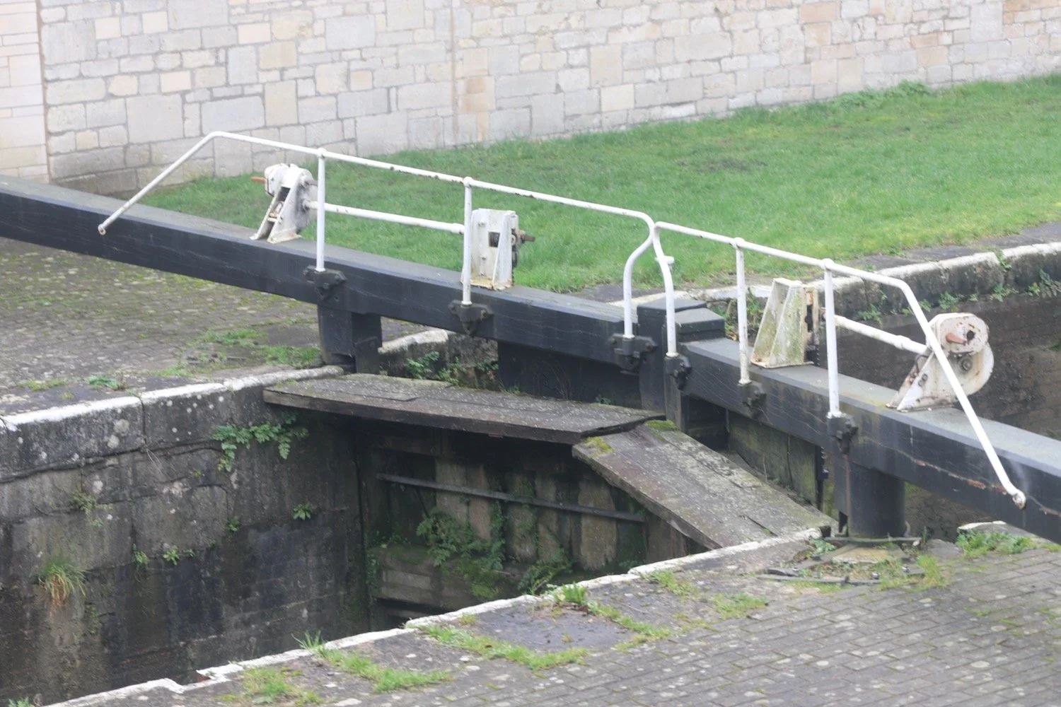
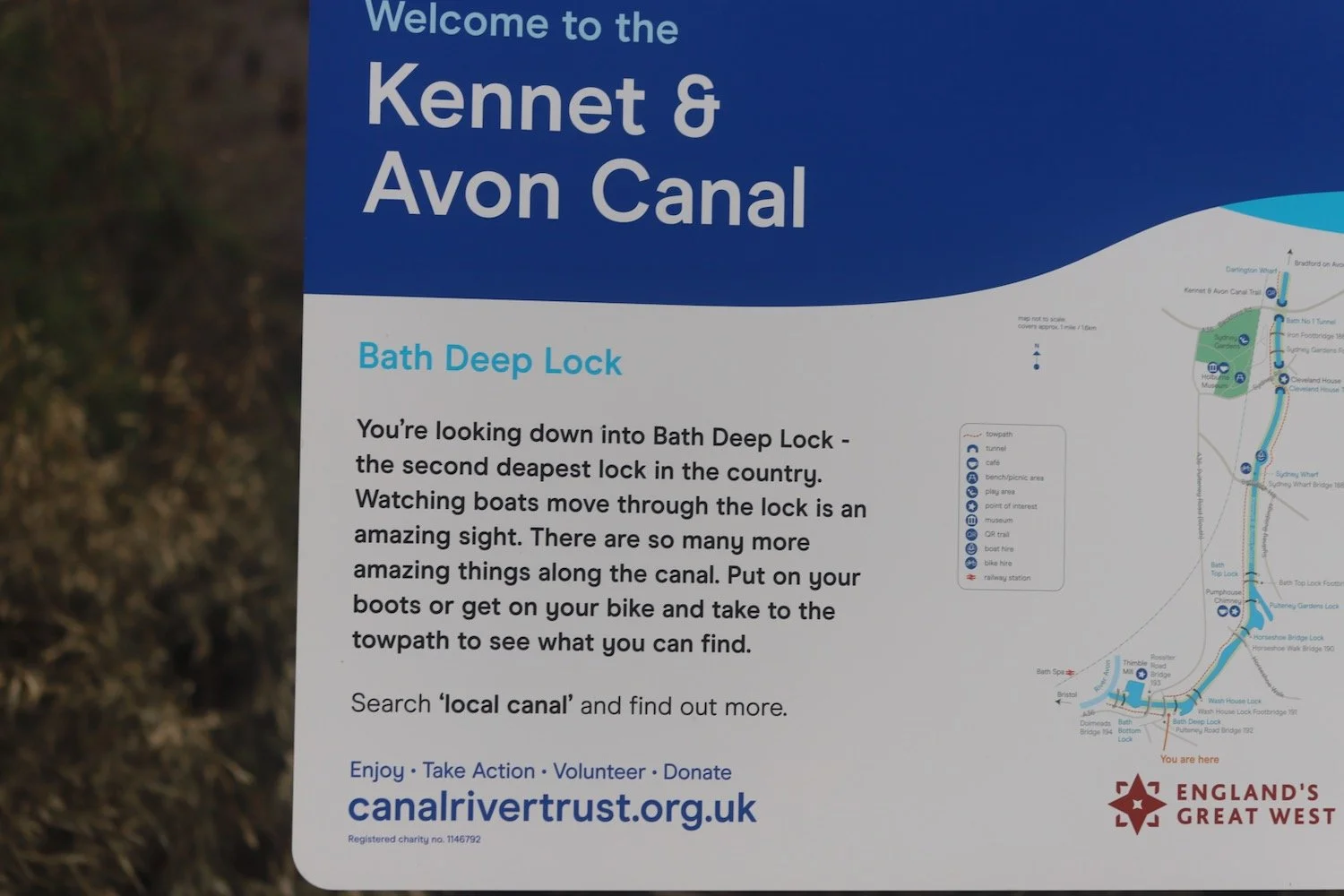
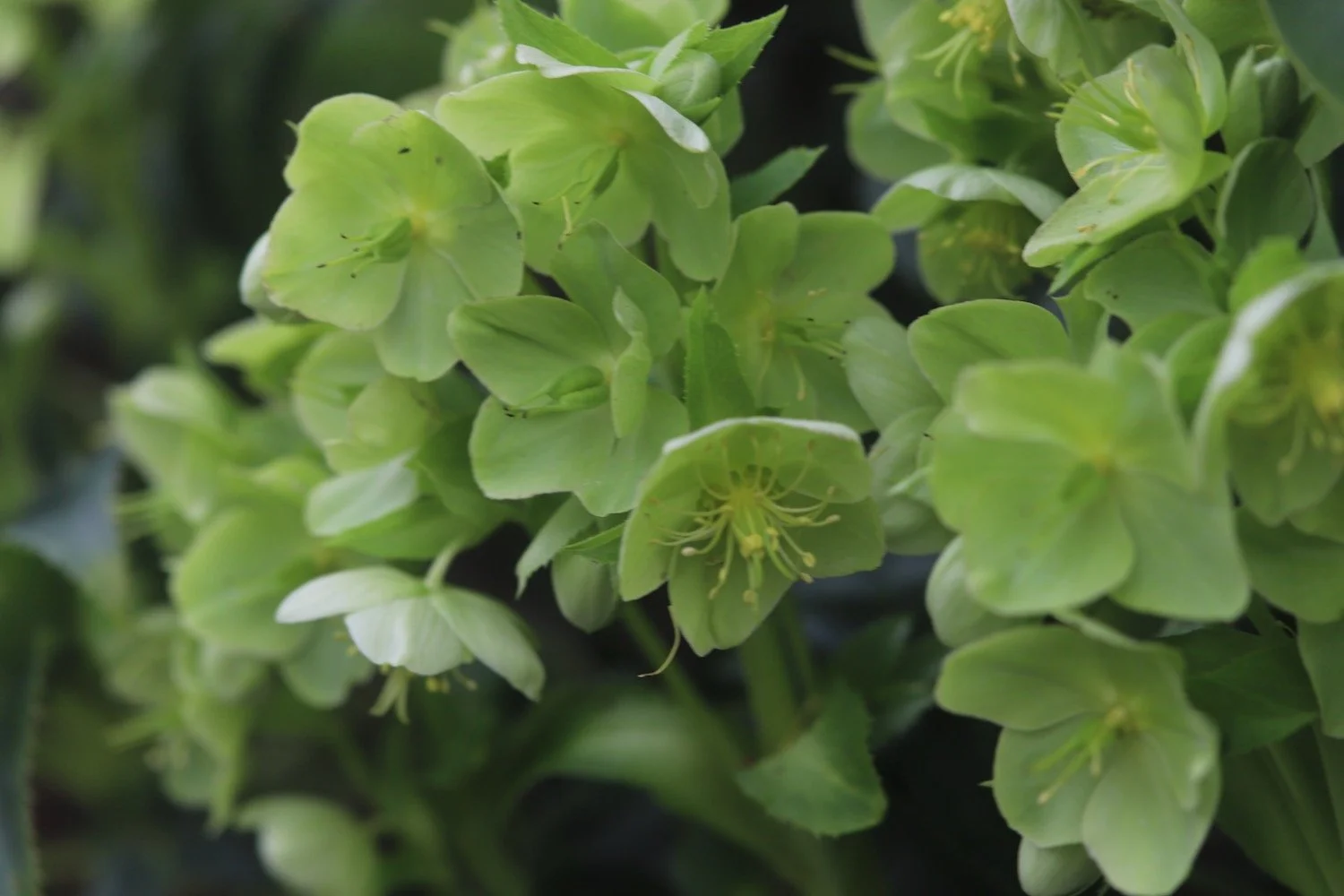
I pass a bank of primroses before reaching the Kennet and Avon Canal.
primroses
I follow the footpath along the canal but it seems to peter out so I get completely lost climbing up Widcombe Hill. I retrace my steps and eventually find my way back to the canal.
I continue ambling along the footpath next to the canal, enjoying the space with dog walkers, cyclists and joggers.
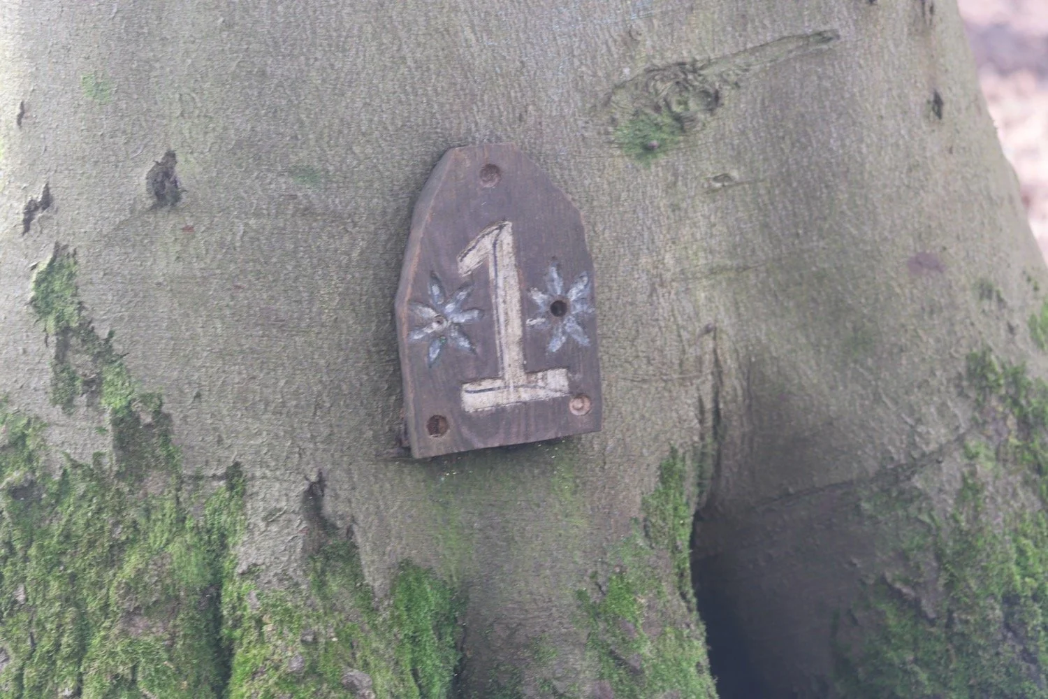
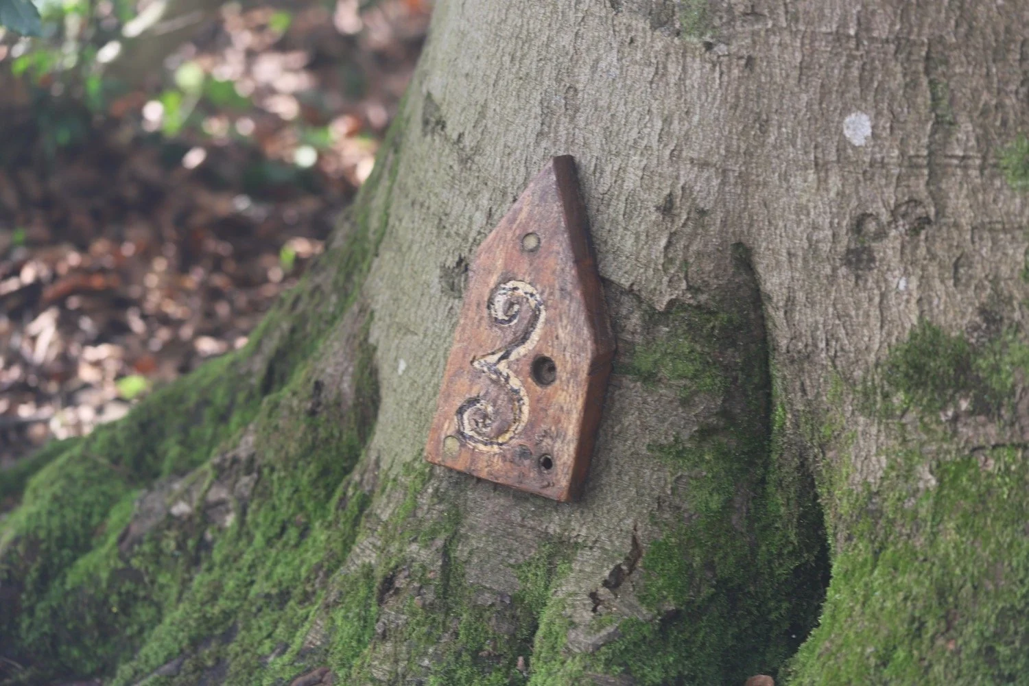
I climb up steps onto a bridge over the canal and start the climb up Bathwick Hill to reach the start of the Bath Skyline at the entrance to National Trust Bathwick Fields where I come across my first marker for the day.
one
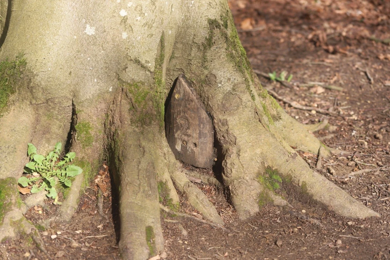
I cross the road over to Cleveland Walk where I continue until I come across a narrow footpath on the right opposite Sham Castle Lane. I follow a path towards North Road where I turn right and continue to a kissing gate on the opposite side of the road with my second marker.
two
I climb up some steep steps and follow a path through a field. When I reach the top I go through a gate to reach a small road. I could detour to Sham Castle but conditions today are filthy so I’m just going to concentrate on completing the walk.
Sham Castle was built in 1762 for Ralph Allen, one of the key figures responsible for Bath’s Georgian revival.
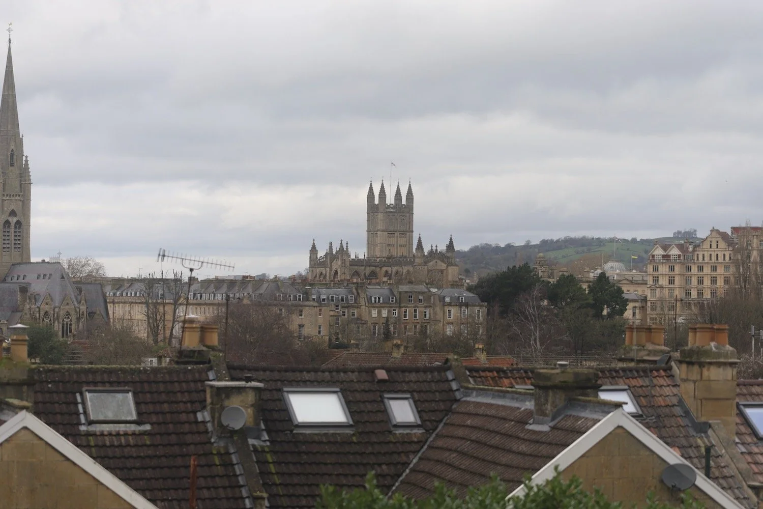
I’m very high up so have lovely views over Bath.
view over bath
three
I take a path down some steps into woodland and follow the path right and right again steeply uphill to kissing gate at the top. It is very muddy so I slip and slide all over the place and it’s very difficult keeping on my feet.
I hear blackbirds, song thrushes, blackcaps, robins, great tits, blue tits and woodpeckers amongst other birds. Spring is definitely around the corner.
I should pass some stone markers and a trough marking some of the natural springs that provided clean drinking water to the city in Georgian times. The only trouble is I’m concentrating so much on staying upright that I fail to notice them.
(blurry) four
I turn left onto a track where I come across three robins (presumably male) scrapping away in the woods. I keep woods to my left and leave a wider track on the approach to radio masts and take a smaller grassy path to the left. I walk across two fields and then follow a short slope which bears left where I turn right into a wood through a gate.
radio masts
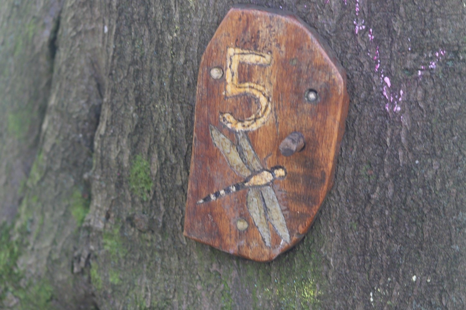
five
I follow a winding path through woods until I reach a junction. I go straight across past large rocks on both sides and up a short slope between two trees where the path splits. I take the wider path in the middle, past a large rocky cliff on the right. I keep to the higher path which ascends gently to a large Y junction, where I bear left and continue to a metal kissing gate.
six
I pass through the kissing gate into an open field and continue ahead with a fence on my left. At the end of the field, I go through a gate in a wall and bear right. I cross a field keeping the wall on my right before reaching a gate. I go through the gate and turn left along a track. I turn right before some metal gates and go through a wooden gate. I climb over a stone a stile in the wall on the left. It’s rather high up and so I have to ditch my bag and camera and clamber over in an undignified fashion. I then turn right along the road for a bit. I turn left onto a public footpath at a gap in the wall just before the Cats and Dogs Home. I follow a path, which narrows at the end then reaches Claverton Down Road. I go left briefly and then cross the road to reach a small layby.
During the 18th century there was a two-mile race course with marker stones running across Claverton Down and parts of Bushey Norwood providing popular entertainment for Georgian society.
bushey norwood
seven
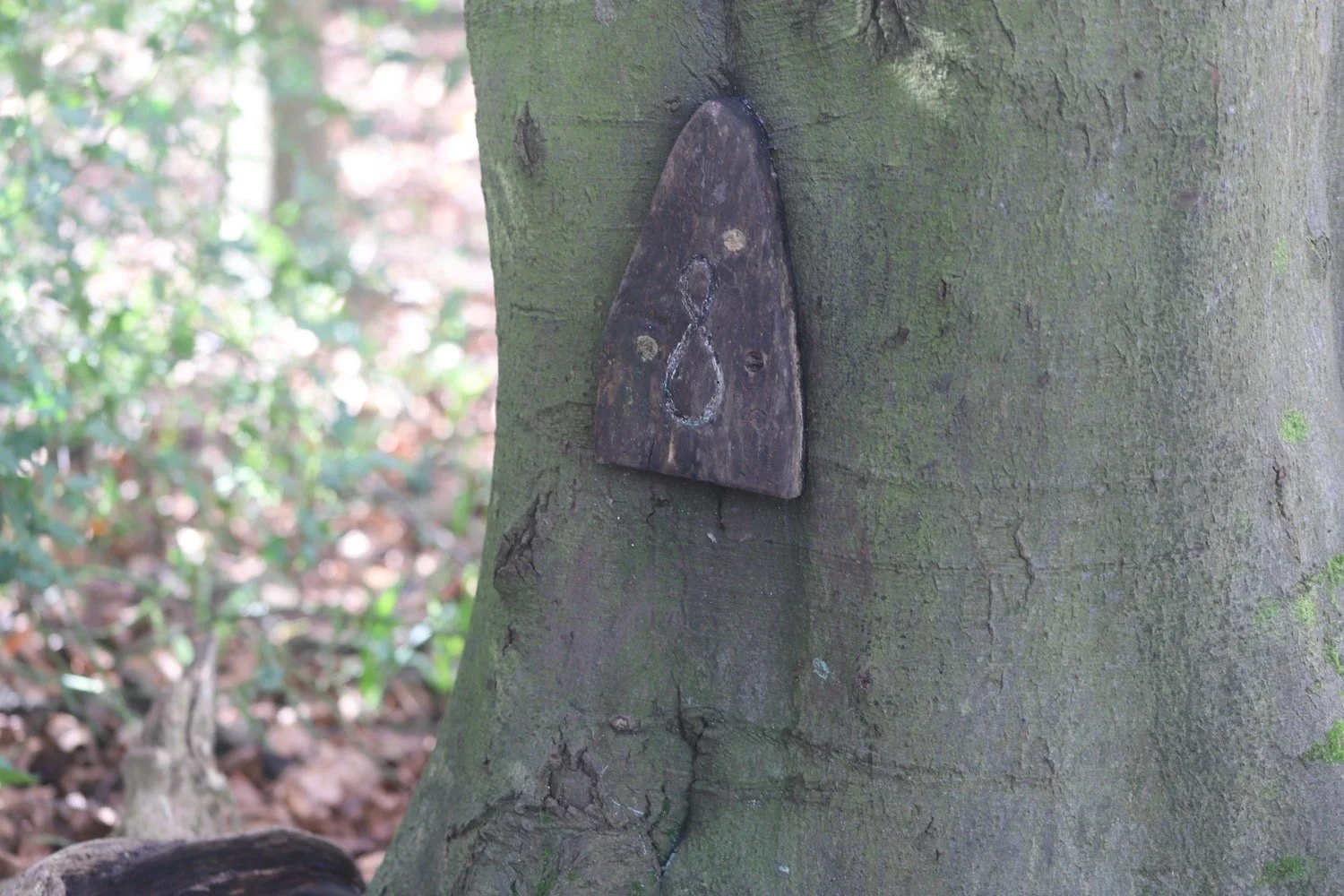
I go through a gate to the left of the layby and follow a fenced path, going through several wooden gates until I reach woodland on the right.
eight
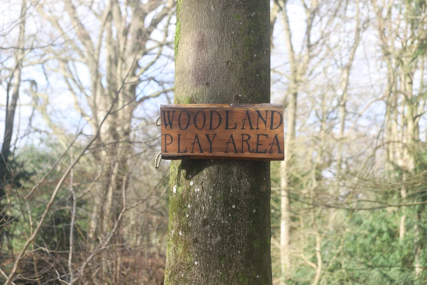
I turn right into woodland, and follow a woodland path where I pass a woodland play area.
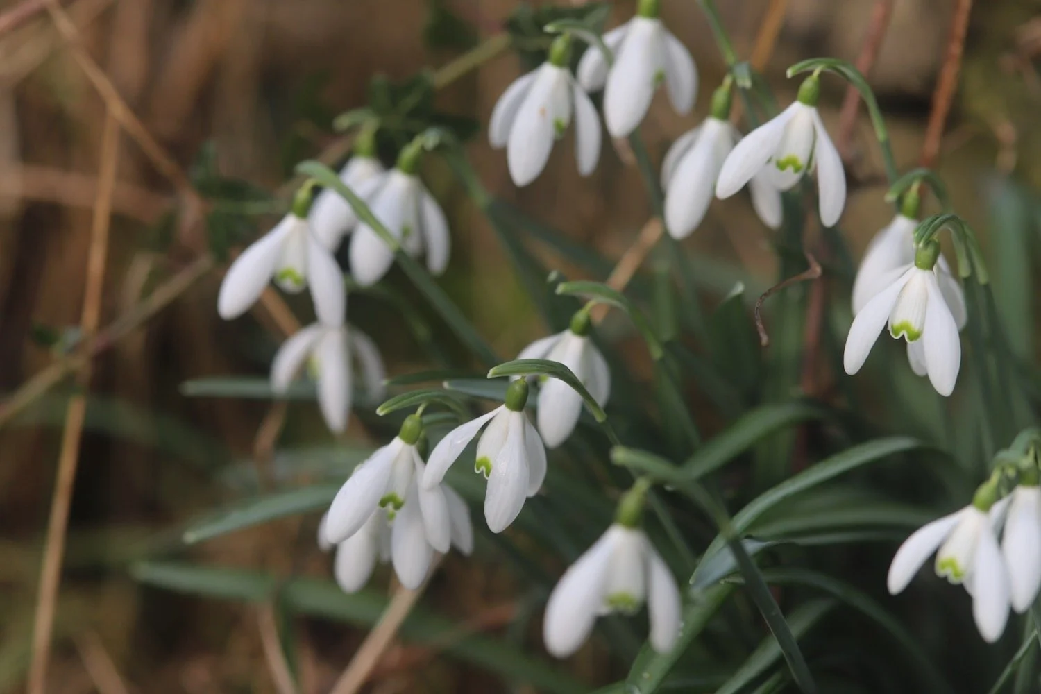
I pass a clump of snowdrops and then crocuses.
snowdrops
crocuses
I reach a wooden gate in a stone wall. I go through the gate and straight over a cycle track. I continue, with a playing field on my right.
The playing field is also known as Monument Field after a memorial tower built in honour of Ralph Allen by his nephew in-law, Bishop Wharburton. It was demolished in the 1950’s after falling into disrepair.
I bear left down a rocky slope, ignoring a wooden stile straight ahead.
nine
I turn right through some stone pillars and continue along a path with views down to the valley on my left.
view over bath
I go past a pond on my left which has a marsh marigold flowering in it. Mine back home haven’t started flowering yet.
I then climb up steps to my right. I continue straight ahead through trees until I re-join the cycle track. I turn left onto the cycle path and follow it until I reach a metal kissing gate on the left. There is a rather out of place Dott electric scooter next to the gate.
dott electric scooter
ten
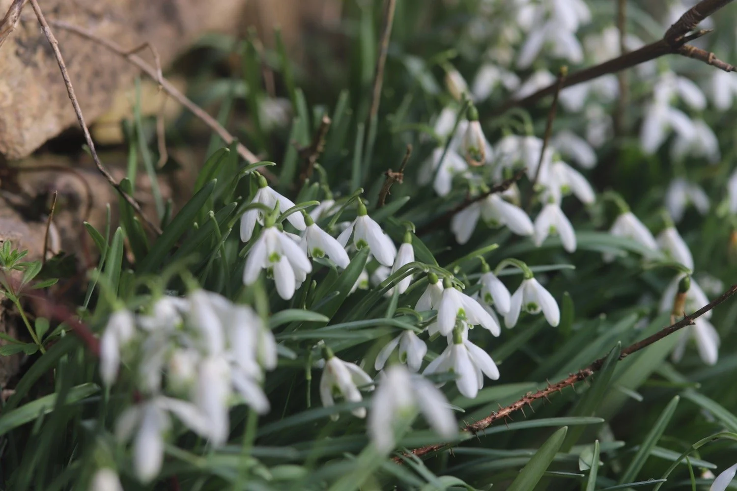
I go through the gate and follow a path down to the main road at the bottom, passing a large clump of snowdrops.
I cross the road and continue down the road with a field and views to the right.
view over bath
I turn right into a field through a kissing gate and then immediately turn left through a second kissing gate. I walk downhill across a field keeping views ahead. I bear right to reach a kissing gate next to a water trough. I go through the gate and follow a path down steps keeping a fence to my left.
Smallcombe Wood to my right are the most ancient woods in Bath. A great variety of native tree and shrub species provide a home for abundant bird life including nuthatch, wrens and blackcaps.
smallcombe
eleven
I go through a kissing gate at the bottom of the hill, cross a lane, and go through a gate opposite. I continue up a steep path with steps, bearing right and bending left. I go through another kissing gate into a field and continue up a slope until Bath is in view.
view over bath
I bear right then keep left as the path forks and continue to a kissing gate into Richens Orchard.
richens orchard
I cross the top of the orchard to another kissing gate and then bear left and head for a final kissing gate. The waymarking has been fantastic all along the walk but I must have missed one here and took the wrong path down the hill, confusing myself and ending up in the wrong place.
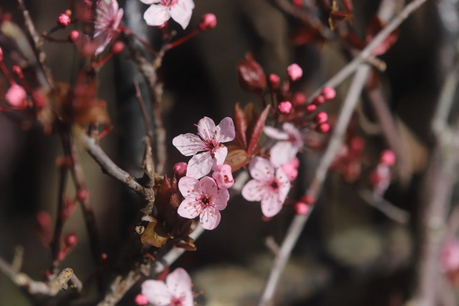
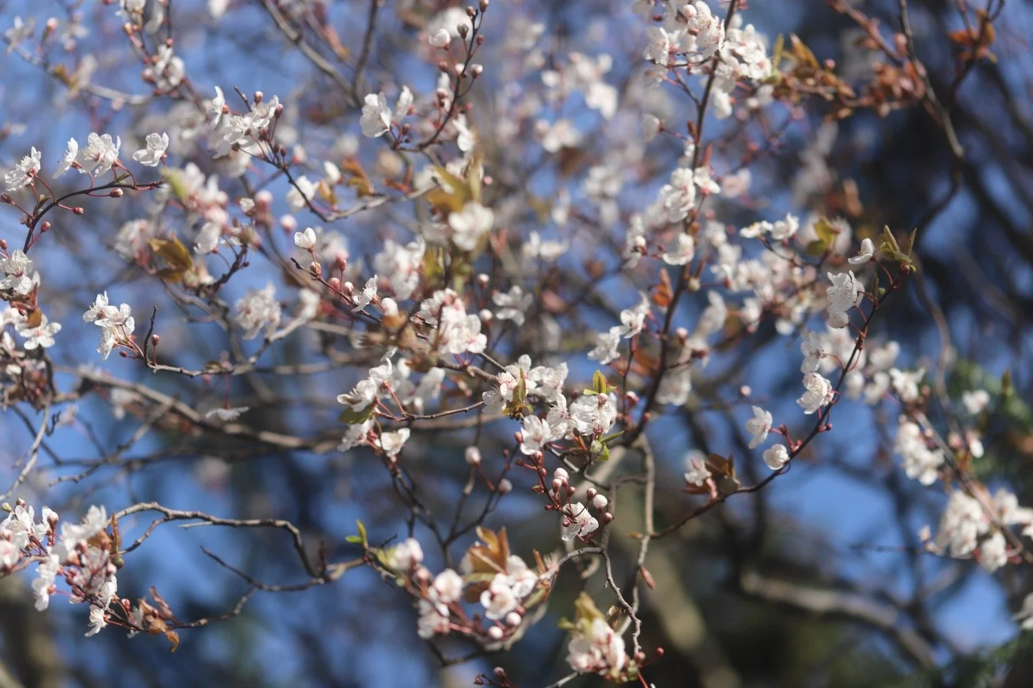
I come out onto a path next to some cherry blossom.
I try to correct myself but get hopelessly lost and wander around aimlessly for a while before correcting myself to reach the National Trust Bus Stop where my walk started. That’s the end of the Bath Skyline.
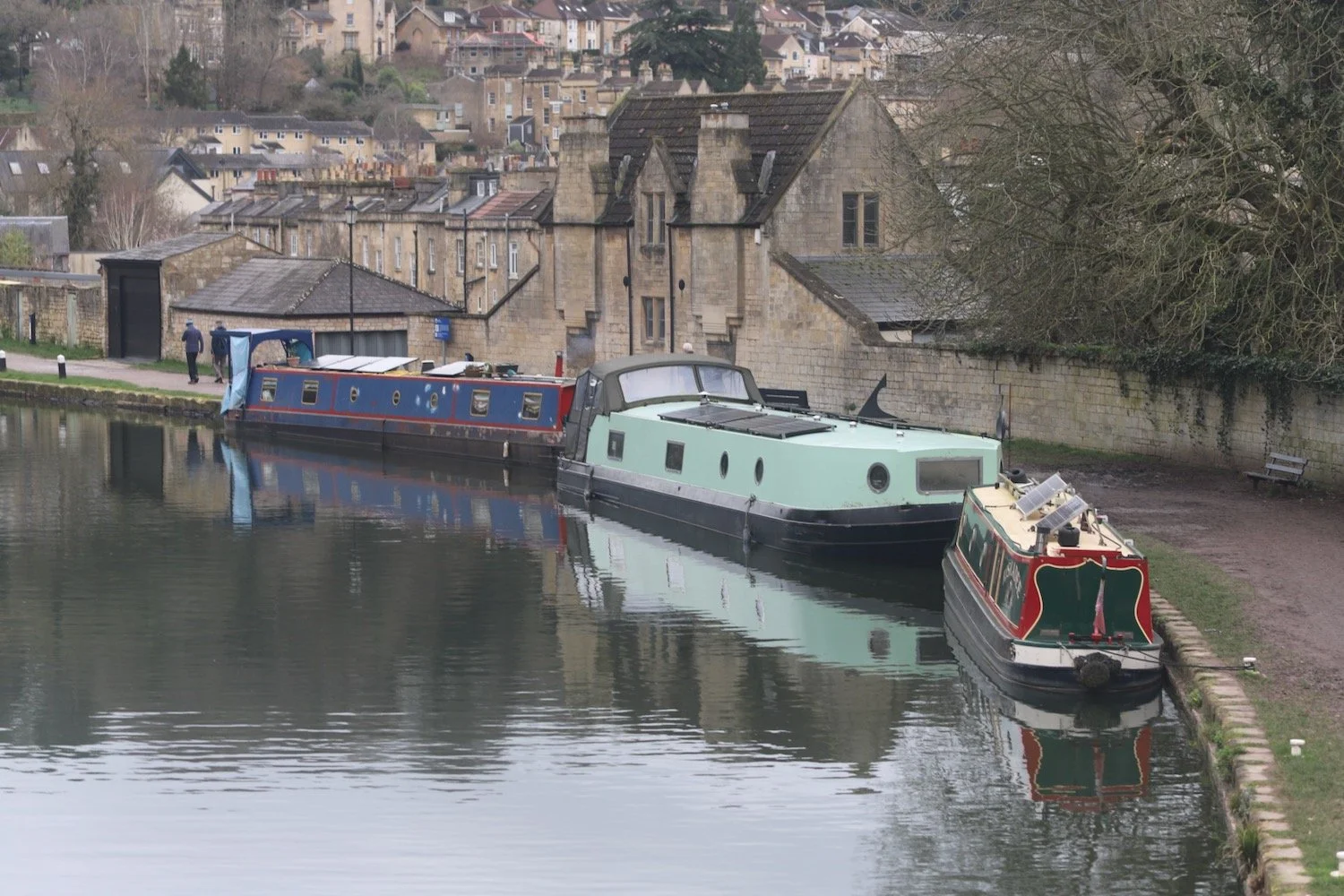
I retrace my steps from earlier on today and head down Bathwick Hill and along the Kennet and Avon Canal and the River Avon. Unfortunately, I confuse myself again and take the wrong path and end up next to Pulteney Weir and Bridge. Never mind. It’s easy walking from here back through Bath and on to our apartment.
FLORA AND FAUNA
Flora and fauna encountered on the walk today includes :-
primroses
celandines
helebores
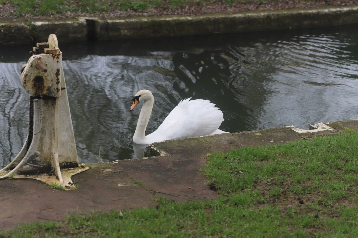
swans
blackbirds
blackcaps
great tits
blue tits
song thrushes
robins
woodpeckers
snowdrops
crocuses
marsh marigold
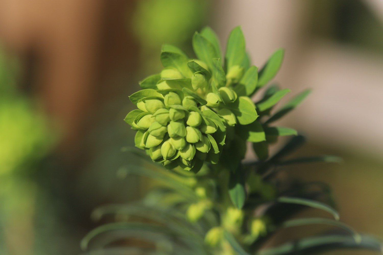
woodspurge
cherry
green alkanet

PODCAST
The podcast of today's walk is now available. You can subscribe via Apple Podcasts or listen using the player below.

MARKS OUT OF TEN?
According to my phone I've walked 11.2 miles which amounts to 28448 steps. The Bath Skyline itself is about 6 miles. It has taken me 5 hours. The weather has been pretty good for February and I soon had to ditch my fleece. It has been very muddy though and I’ve slipped and slid all over the place although I did manage to stay on my feet. Eight out of ten!