lyme regis to west bay
SOUTH WEST COAST PATH
monday, 9th june 2025
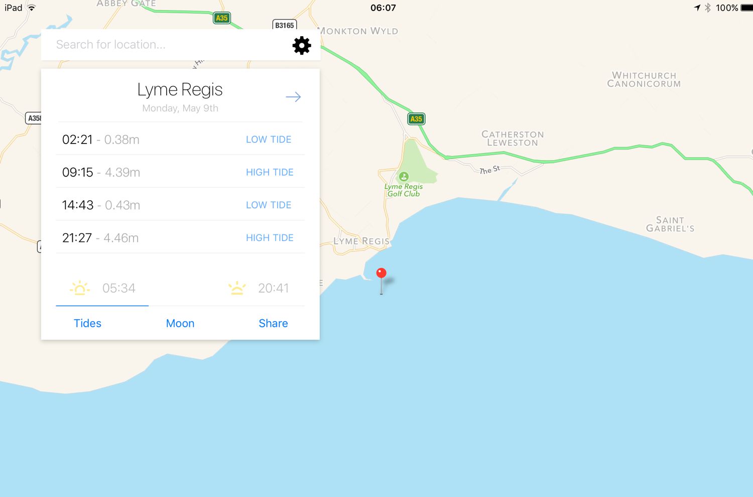
Start location: Lyme Regis (SY 34574 92500)
End point: West Bay (SY 46148 90403)
Map: Explorer 116
I should have another lovely day today with no chance of rain.

Lyme Regis low tide: 11:38
Lyme Regis high tide: 18:23

I start the day at the Charmouth Road car park above Lyme Regis. A sign here tells me that there are 114 steps down to the foreshore. I climb the steps down to the foreshore where I have a view of the Black Ven landslip and the coast path walk for the day is laid out in front of me, although a little hazily.
I can see over to Golden Cap and in the distance, East Cliff and West Cliff at West Bay and Burton Bradstock and just beyond those, Chesil Beach stretches out to the Isle of Portland. This is one of my favourite stretches of coast on the whole coast path.
hazy view from lyme regis
hazy view from lyme regis
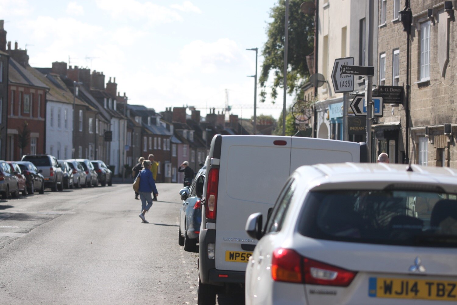
I climb back up to the Charmouth Road car park and head towards Charmouth Road.
Today's walk has typically in the past been dogged by landslips resulting in several inland diversions starting with an inland diversion at Lyme Regis.
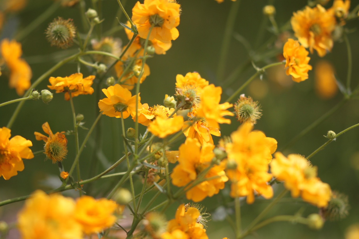
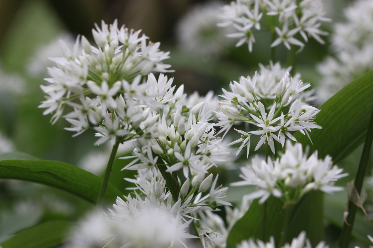
I head upwards through fields high above Lyme Regis, photographing the wild flowers and I have a final view over the Cobb.


the cobb
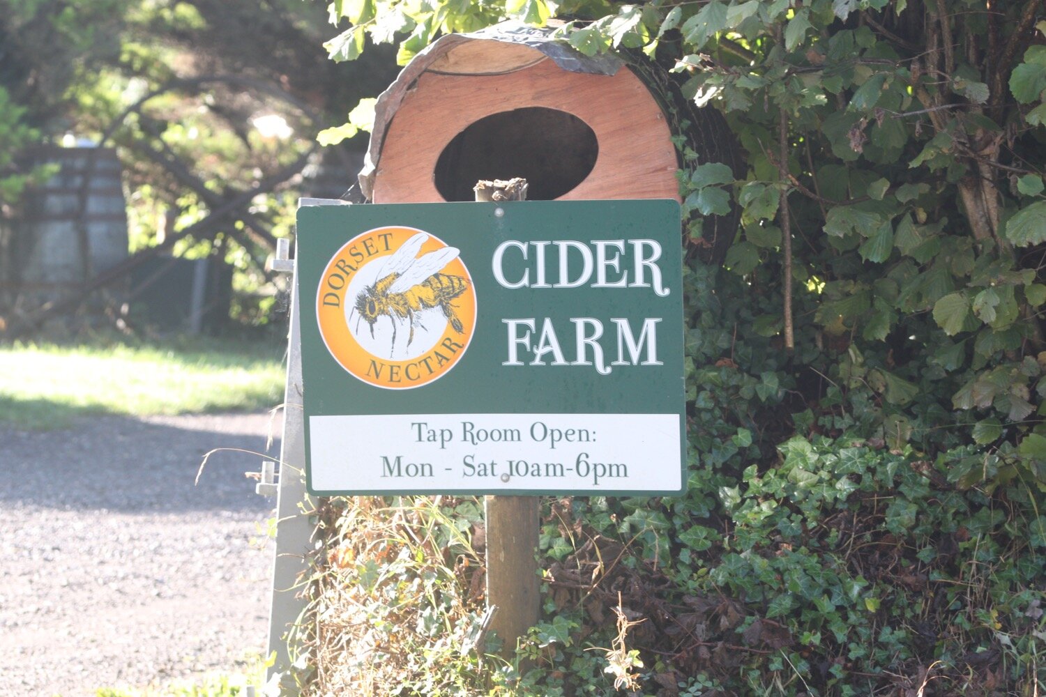
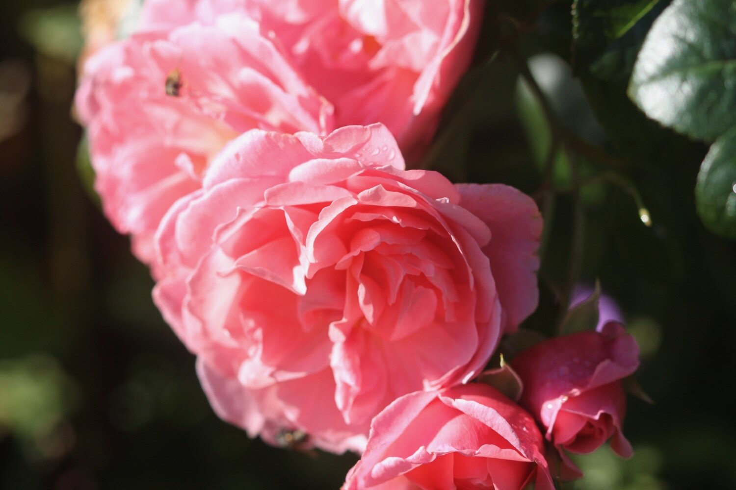
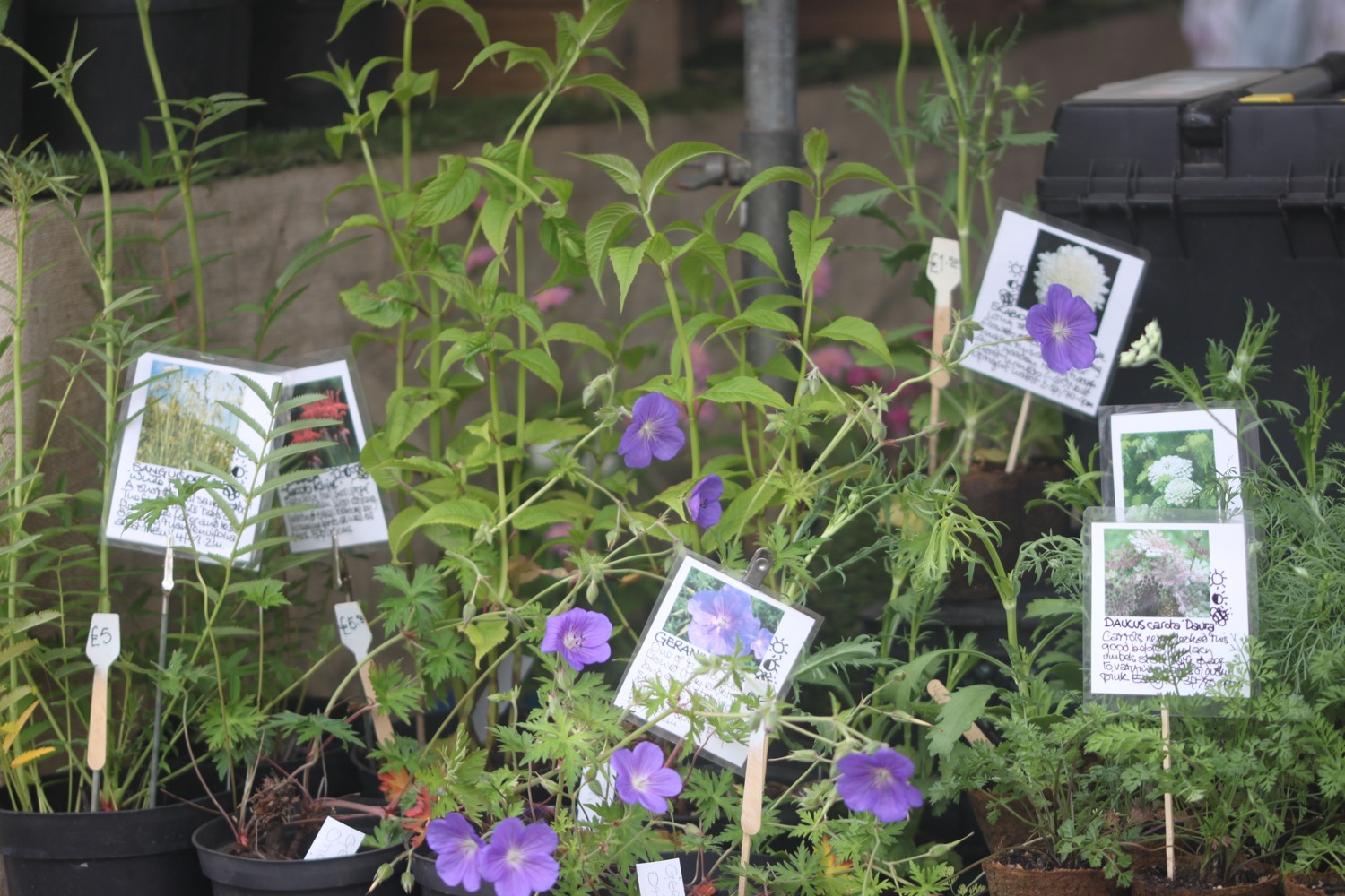
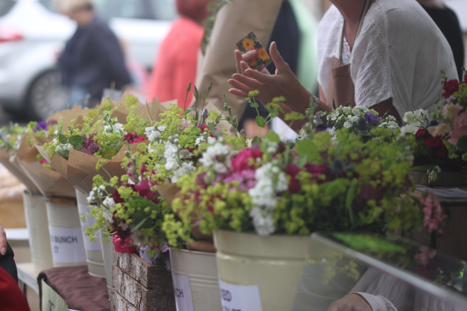
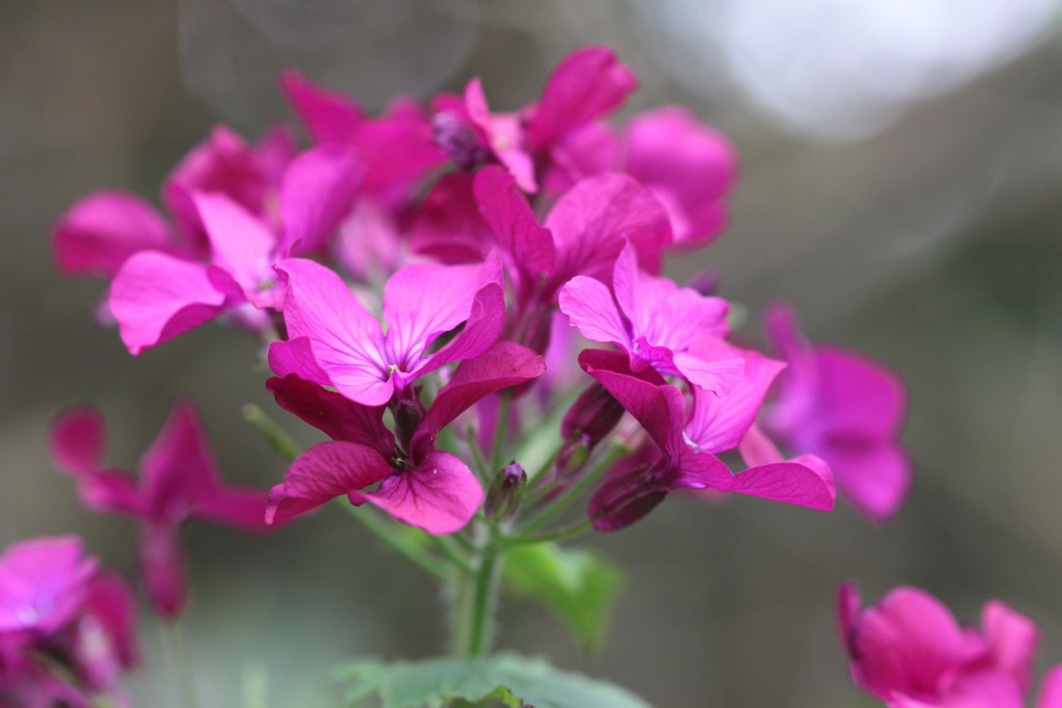
I enter a wood and the sign posts which were once very confusing, are now OK, so I wander along tracks through the woods until I'm then dumped out onto a busy road above Lyme Regis where I enjoy some of the garden flowers.


I continue along the road until a sign points me to a path through Lyme Regis Golf Club.
lyme regis golf club
I continue walking through the golf course following a stone path. There are some spectacularly bad golfers out on the course.
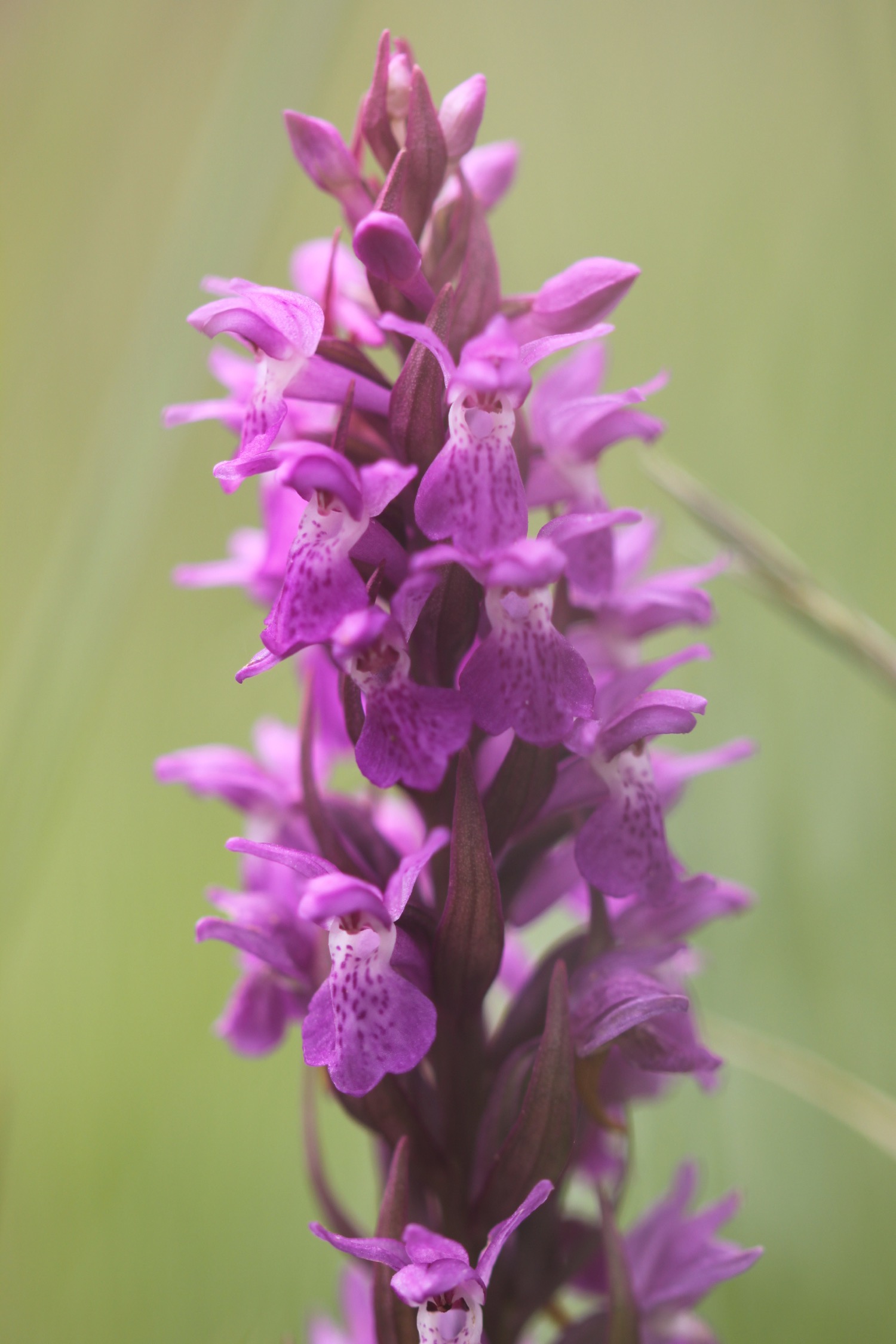
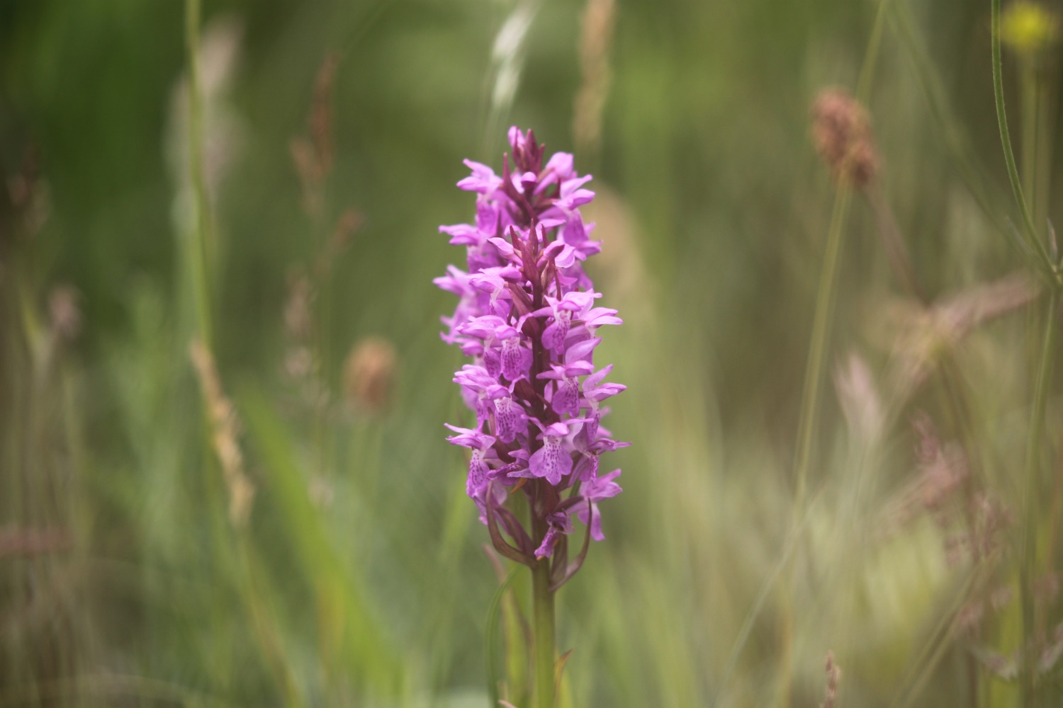
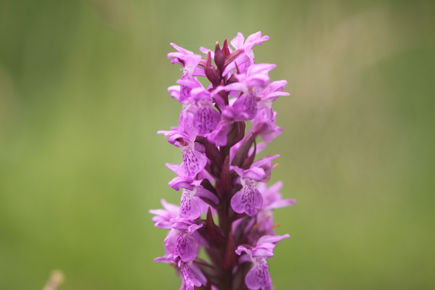
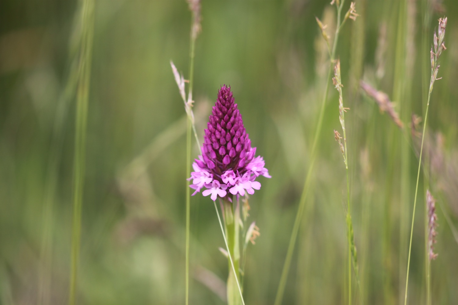
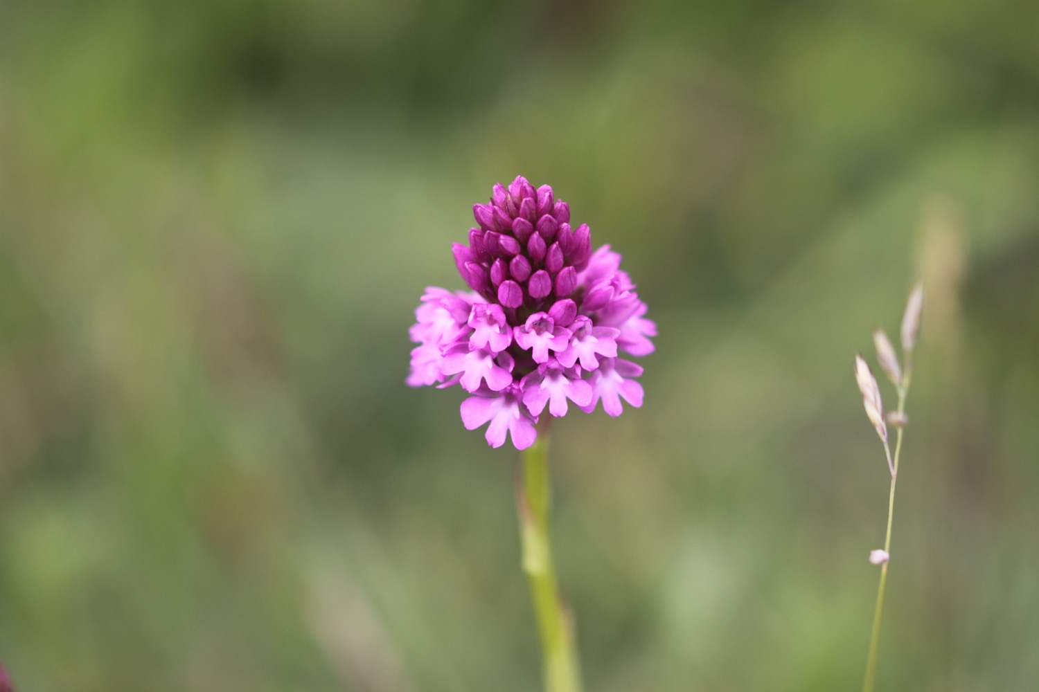
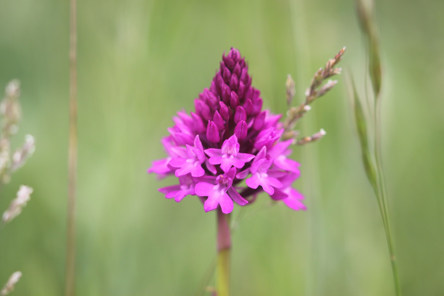
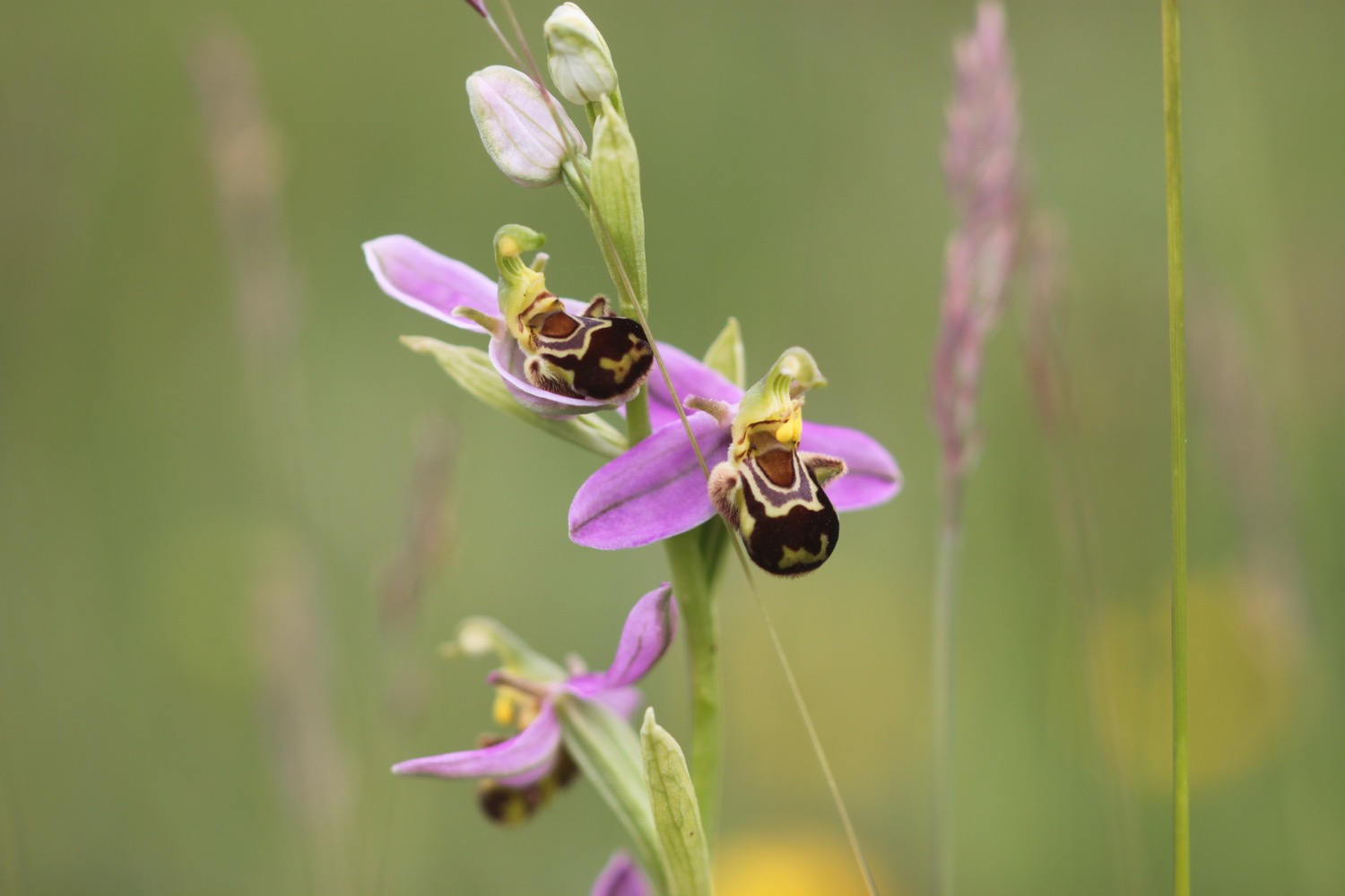
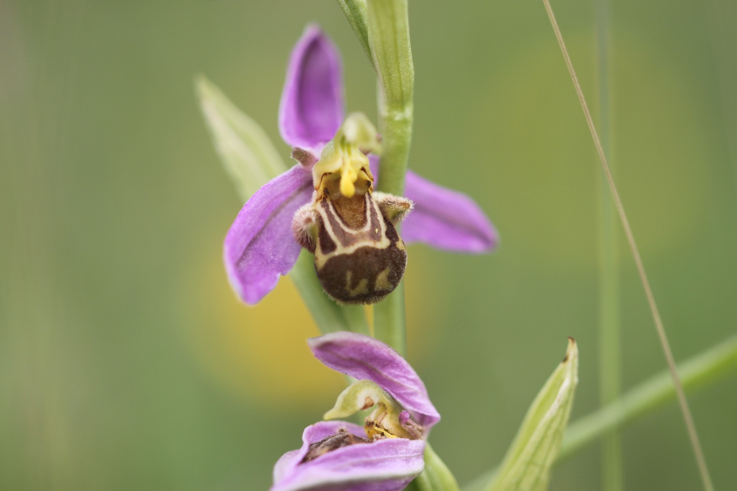
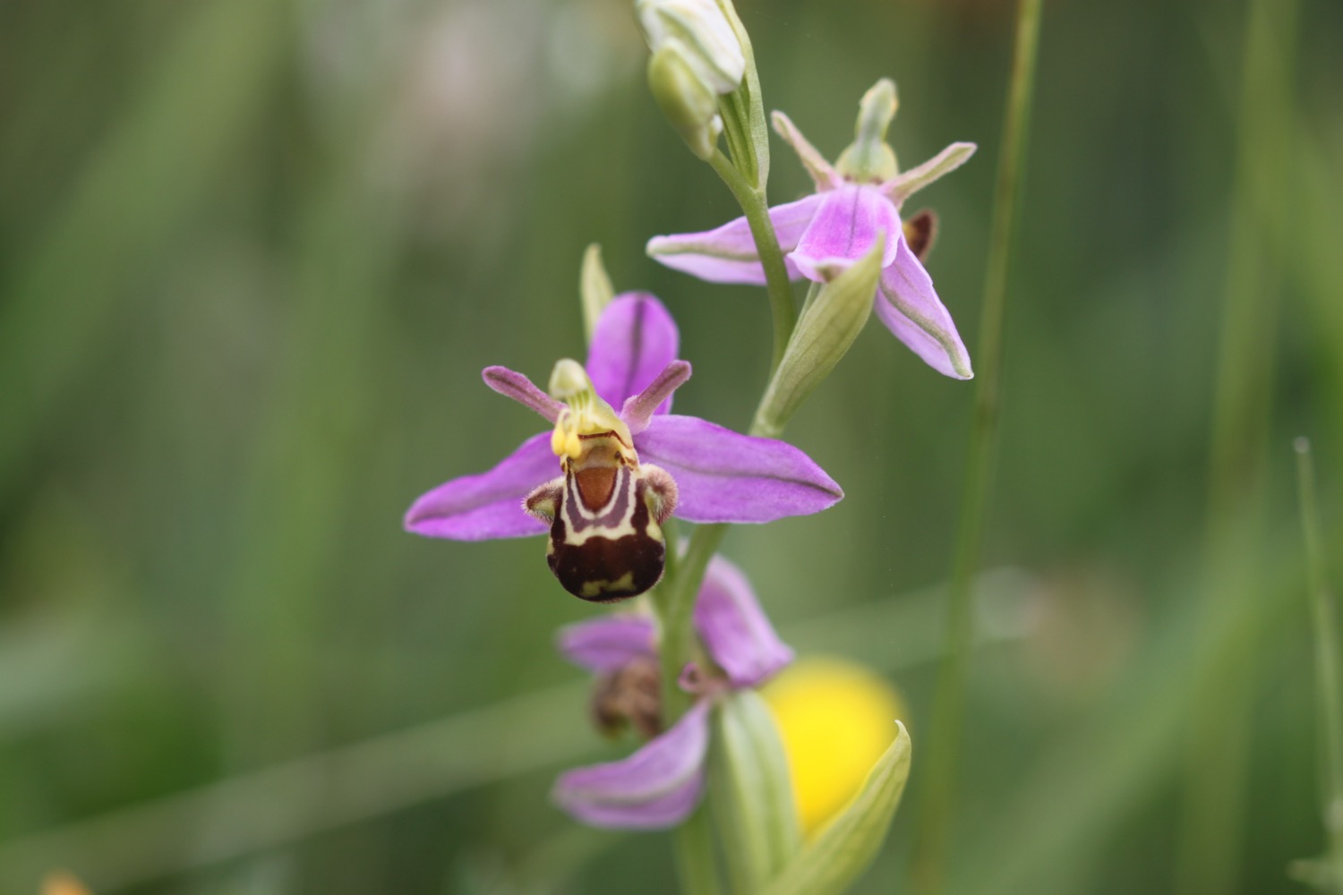
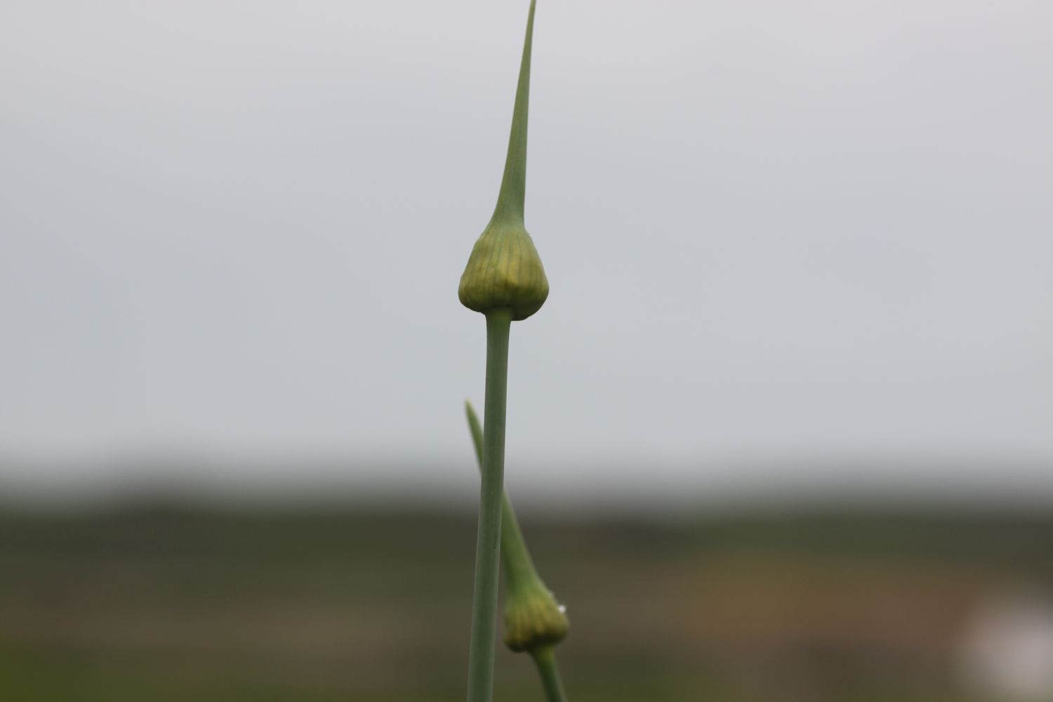
I come across a patch of common spotted orchids in the middle of the course.


There is now a decent coastal route behind the golf course and down into Charmouth without having to walk along nasty, stinky main roads.
I come across a sculpture of Mary Anning in woods and you can find out all about the making of the sculpture.


It is a thoroughly pleasant walk now next to the golf course before I come across a viewing point looking back over the cliffs to Lyme Regis.
view to lyme regis
A signpost tells me that I’m two miles from Lyme Regis and just half a mile away from Charmouth.
It’s now time to descend down to Charmouth along a minor road.
view over charmouth
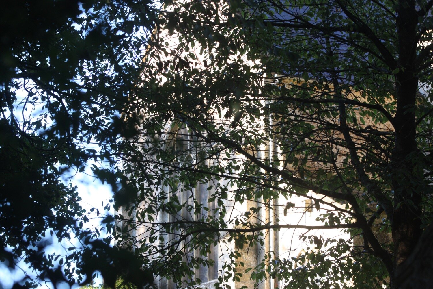
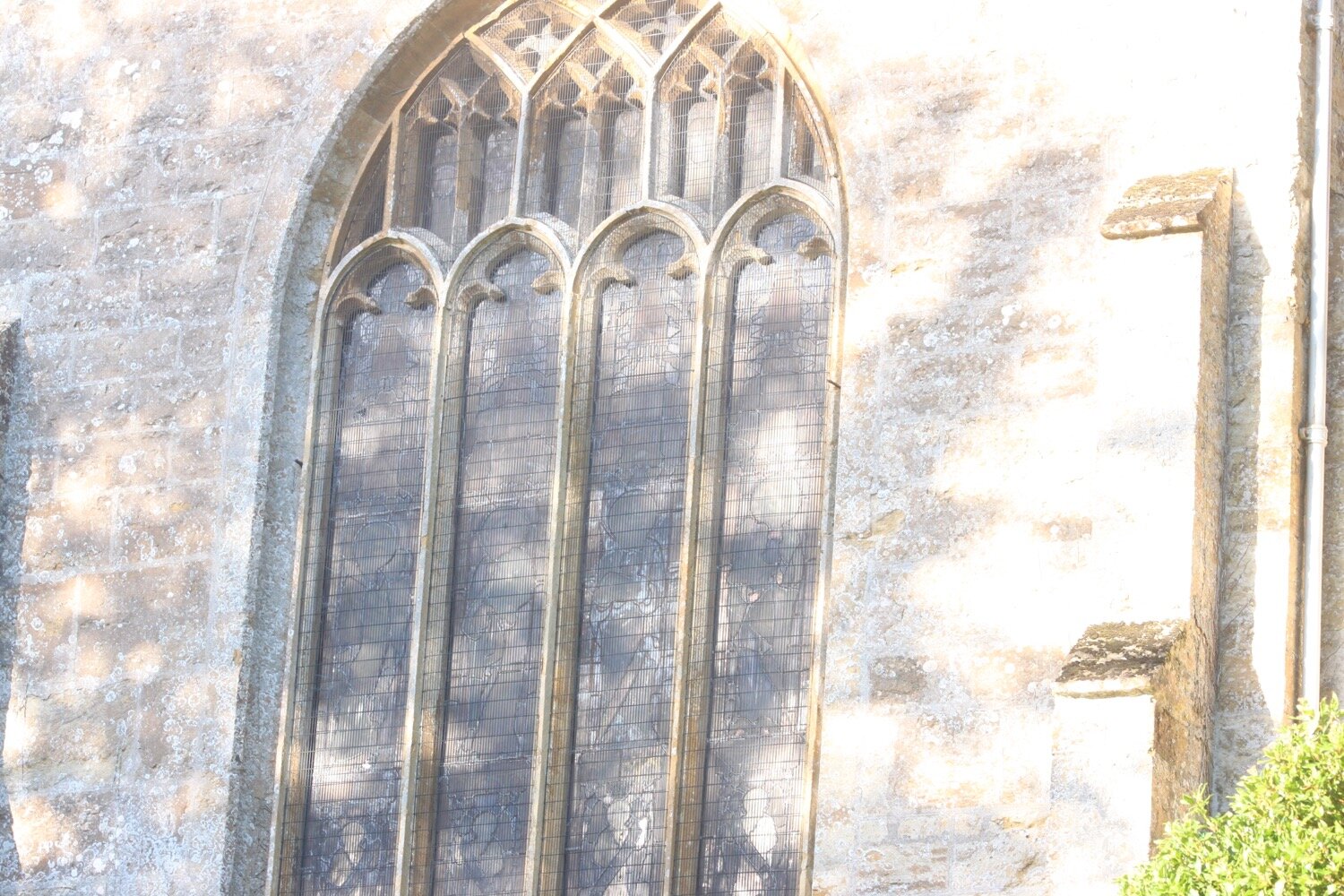
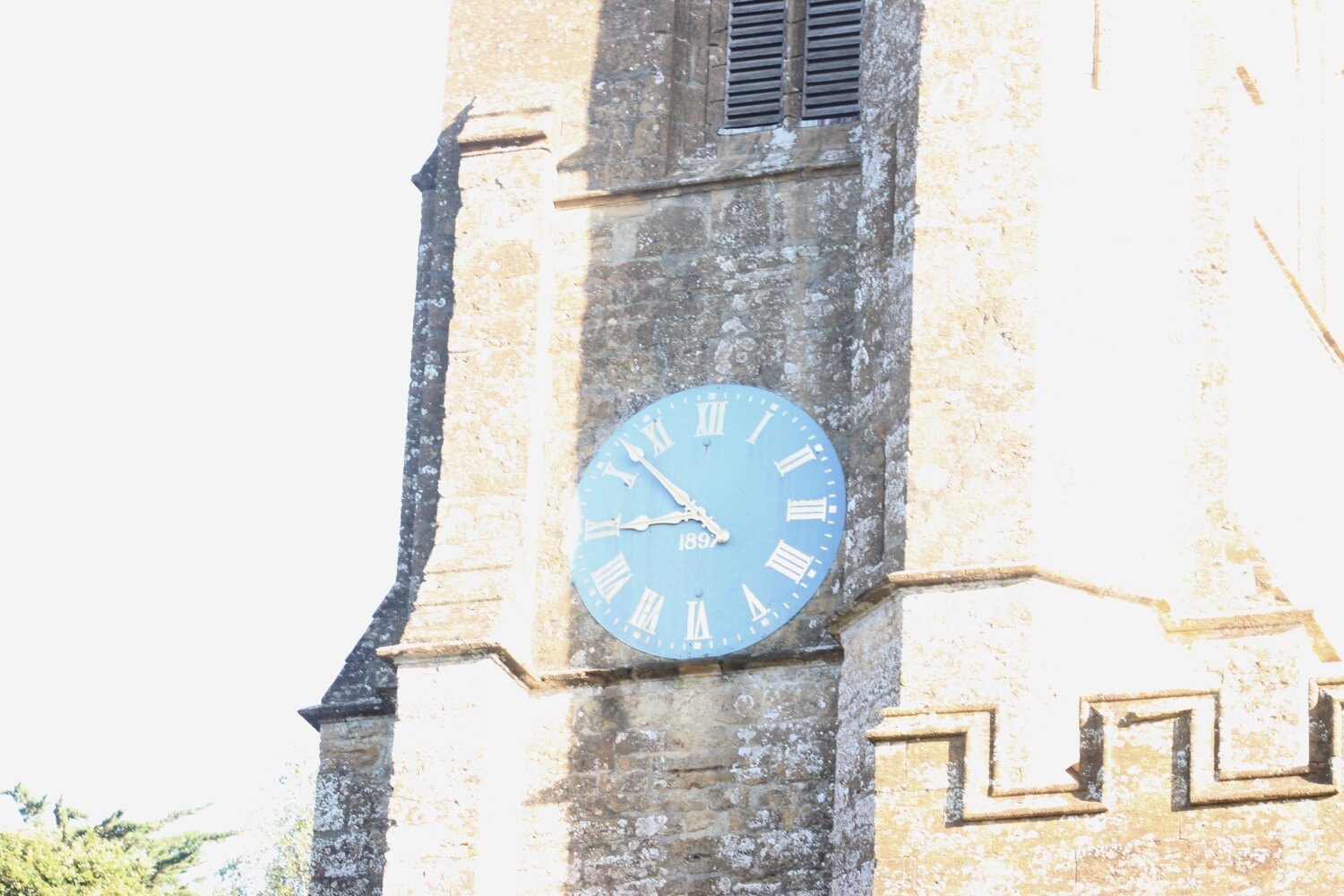
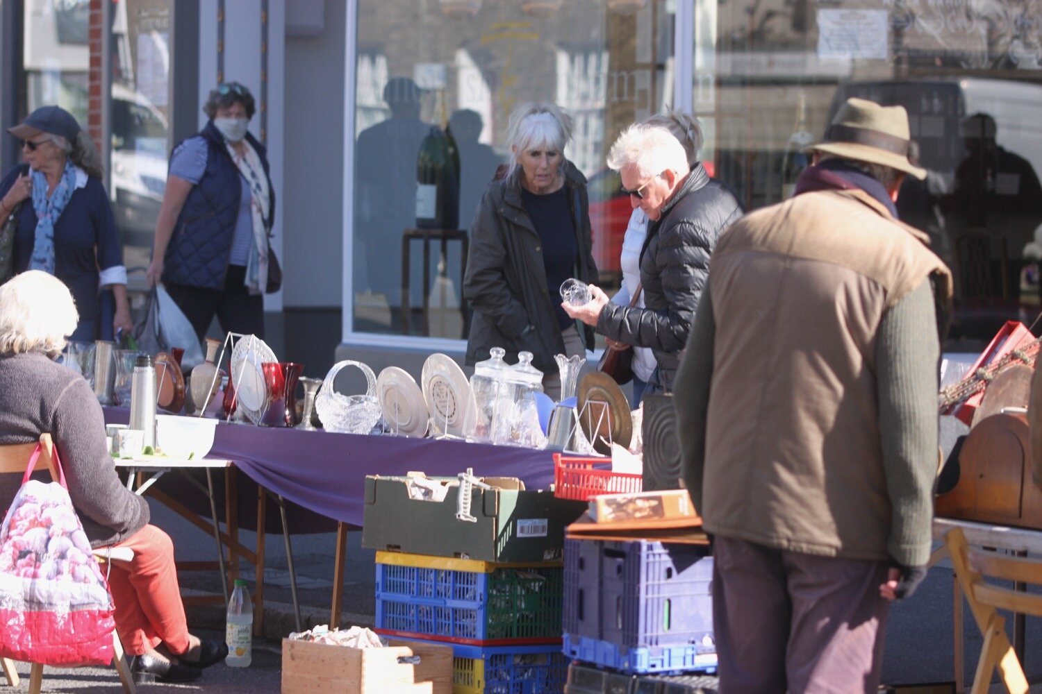
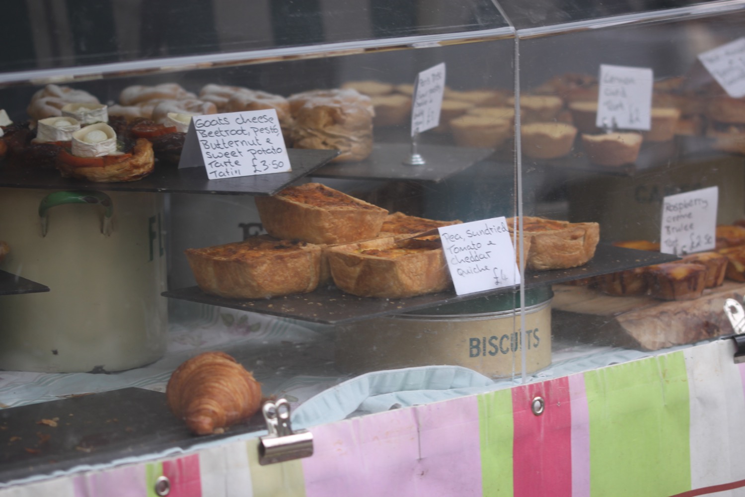
I decide today to head through the main part of Charmouth, passing the Royal Oak pub, the Charmouth Community Library, St Andrews Parish Church, Charmouth Stores, Charmouth Pharmacy, Bank House Cafe, Charmouth Bakery and Charmouth Fish Bar and Pizzeria.


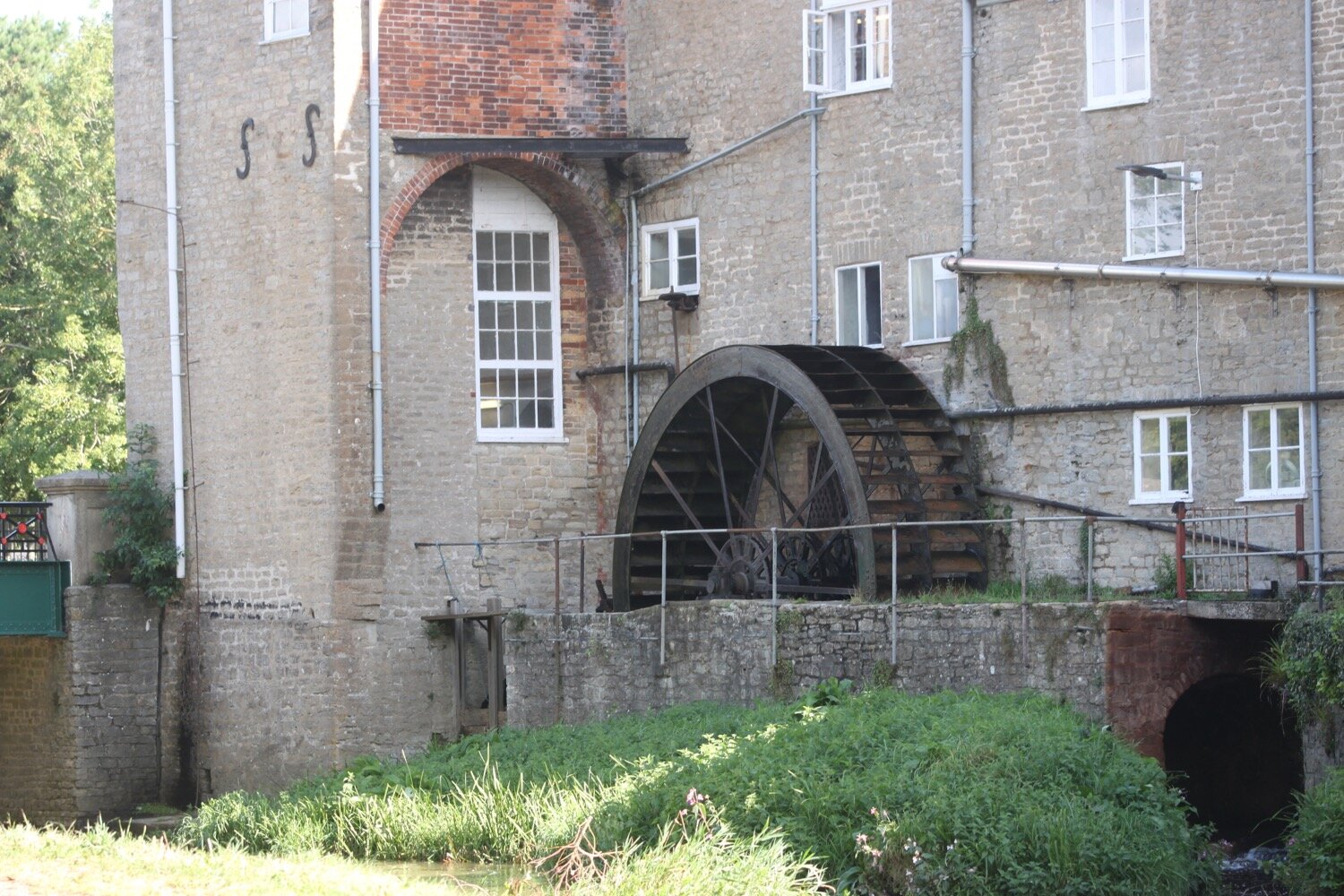
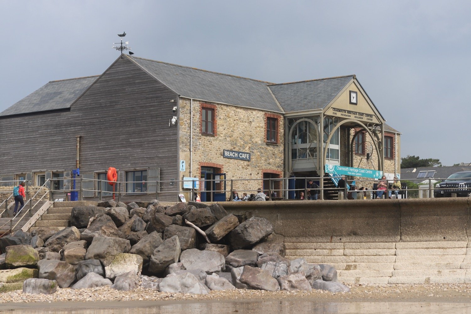
I head back the way I came and descend down a road towards the beach where I come across some beach huts and the Charmouth Heritage Coast Centre.
I wander along the beach here which is surprisingly busy.


I head up from Charmouth Beach and walk towards a bridge above East Beach, where I cross the River Char. With a spring in my step I start to ascend the cliffs out of Charmouth.
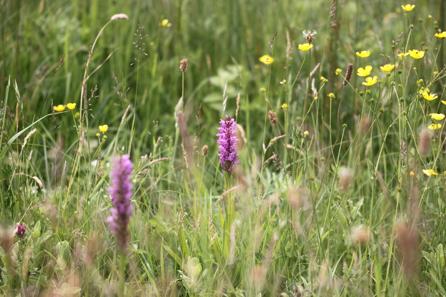
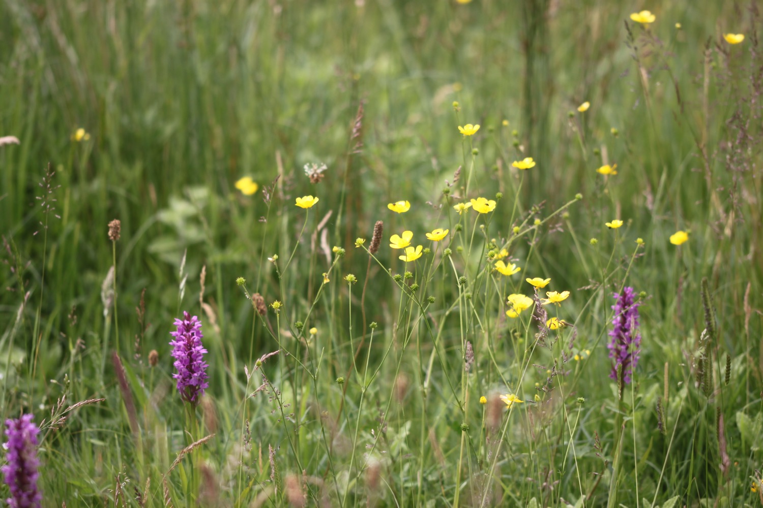
I amble along the cliffs enjoying the views back to Charmouth and ahead towards Golden Cap as well as all of the wildflowers.
view over charmouth


I come across a coast path sign at Westhay Farm and descend into a meadow full of flowers, including yellow rattle going to seed. It looks absolutely lovely.


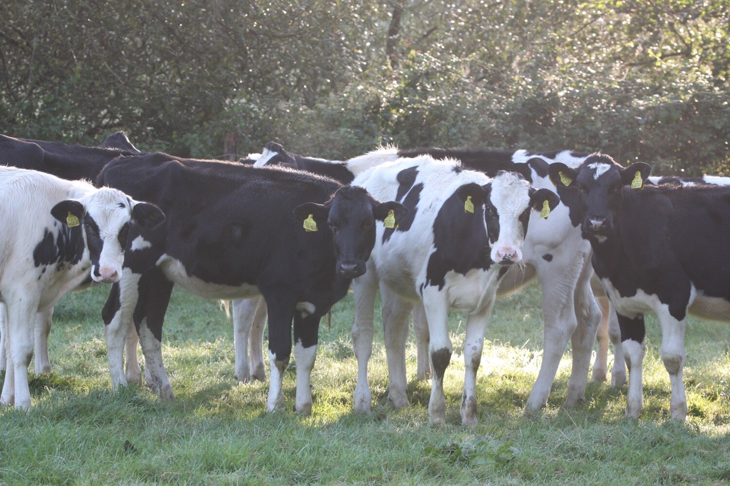
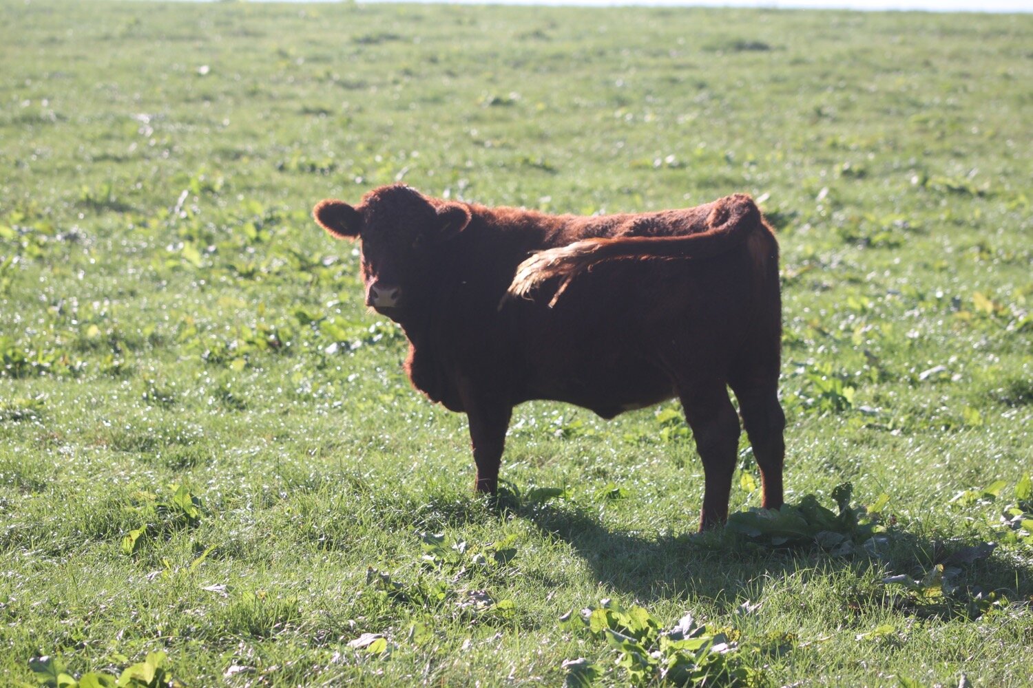
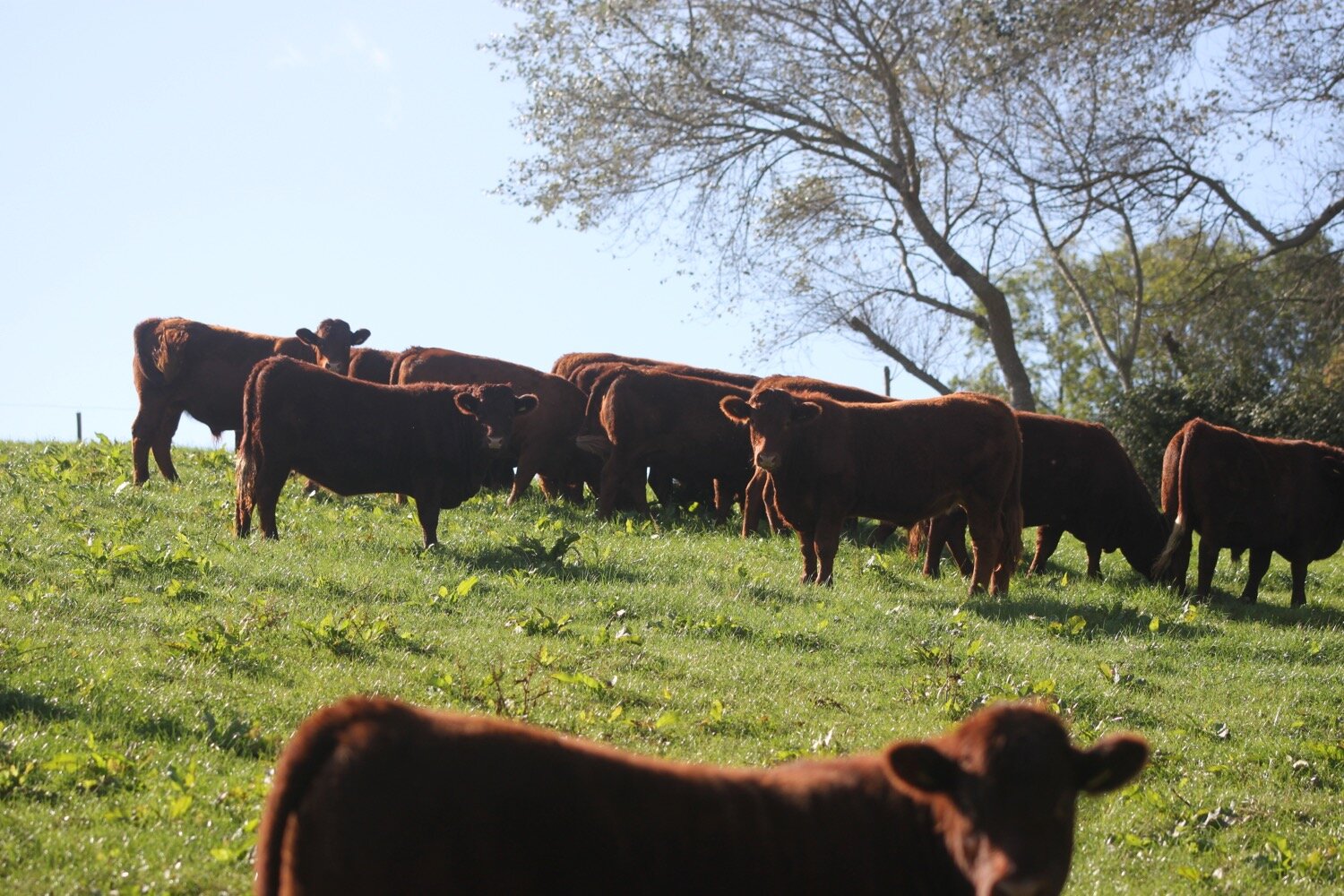
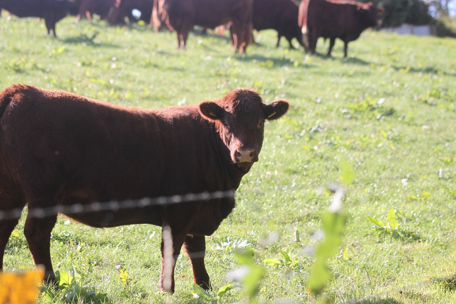
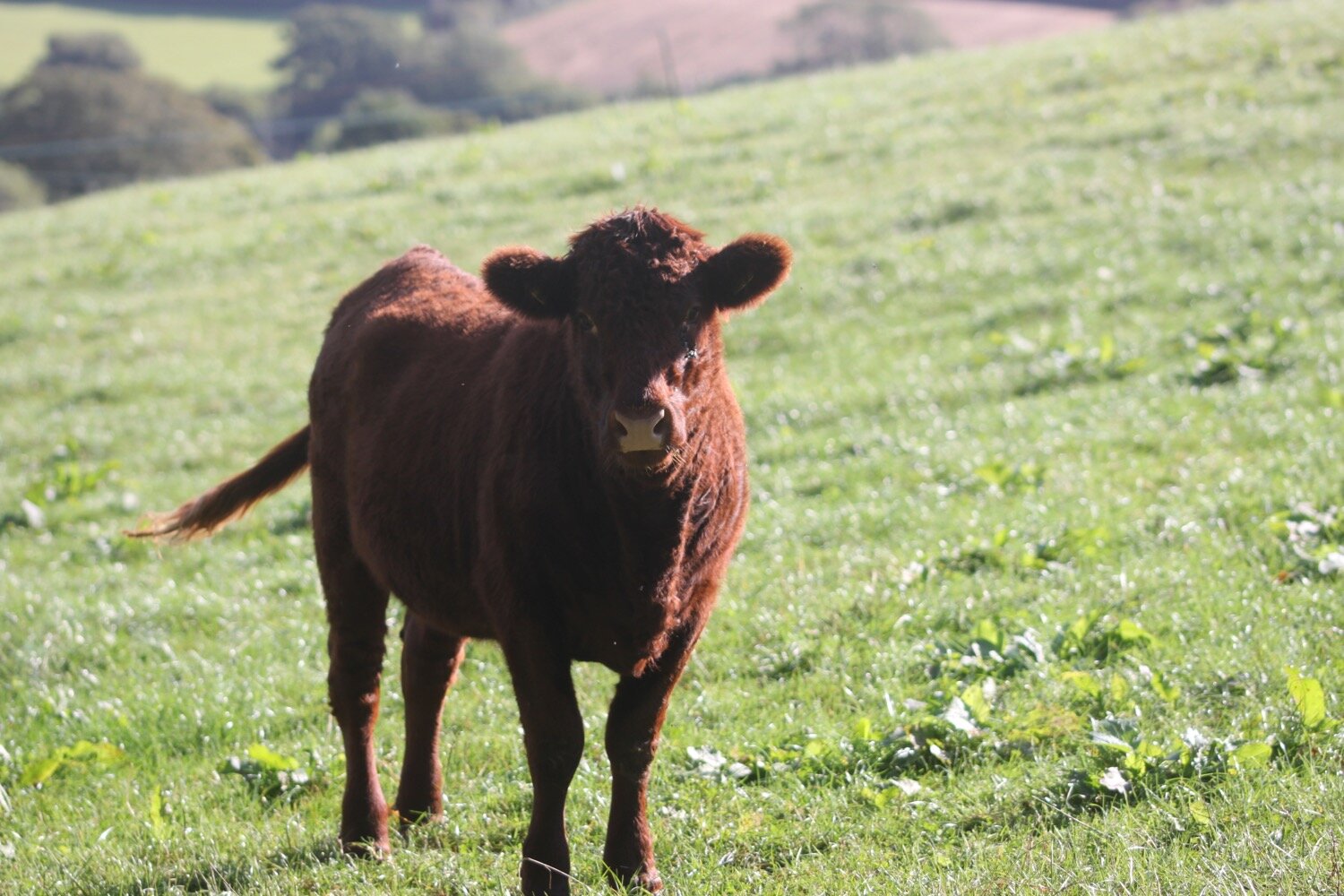
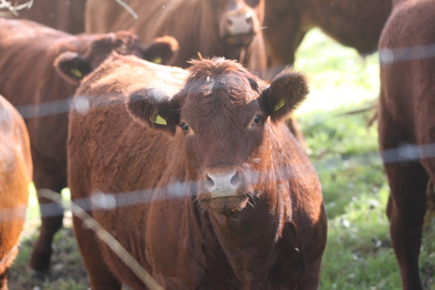
I’m now headed towards Golden Cap. I walk through a field full of cows and then climb slowly up on to the top of Golden Cap.
golden cap
It's a long way up at 627 feet and the highest point on the south coast but it’s a surprisingly easy climb. I enjoy the magnificent views from up here. In one direction I can see out to the Isle of Portland and in the other direction back to Lyme Regis and beyond.
There are several paragliders flying around.
Golden Cap is named after the distinctive outcrop of golden greensand rock at the tip of the cliff and is owned by the National Trust. There is a trigpoint s3752 on the eastern side which must have one of the best views of any of the trigpoints.


I hang around for a while admiring the views before taking the long descent down to the Anchor Inn at Seatown.
I crunch my way across the pebbly beach before heading across a footbridge at the car park and then climb back onto the cliffs.
seatown
seatown
I climb up Ridge Cliff high above Seatown where I have magnificent views back over Seatown.
view over seatown
It’s getting quite hot now and I’m getting seriously sweaty. After descending the other side of Ridge Cliff there’s an even higher climb up to Thorncombe Beacon.
thorncombe beacon
It's now another long descent, this time down to the village of Eype where there's another pebbly beach at Eype Mouth
eype mouth
eype mouth
I head over the footbridge over a stream where I come across some colourful pebbles.
colourful pebble
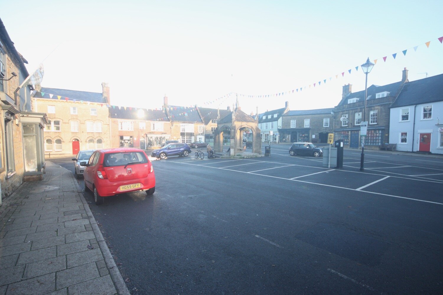
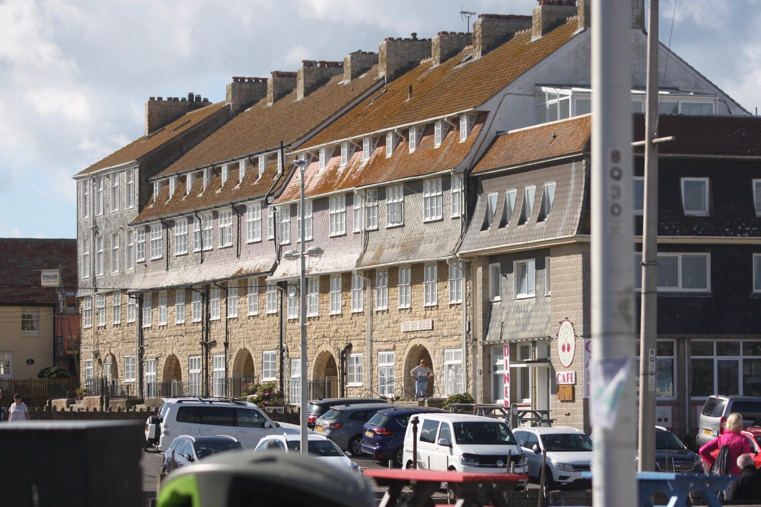
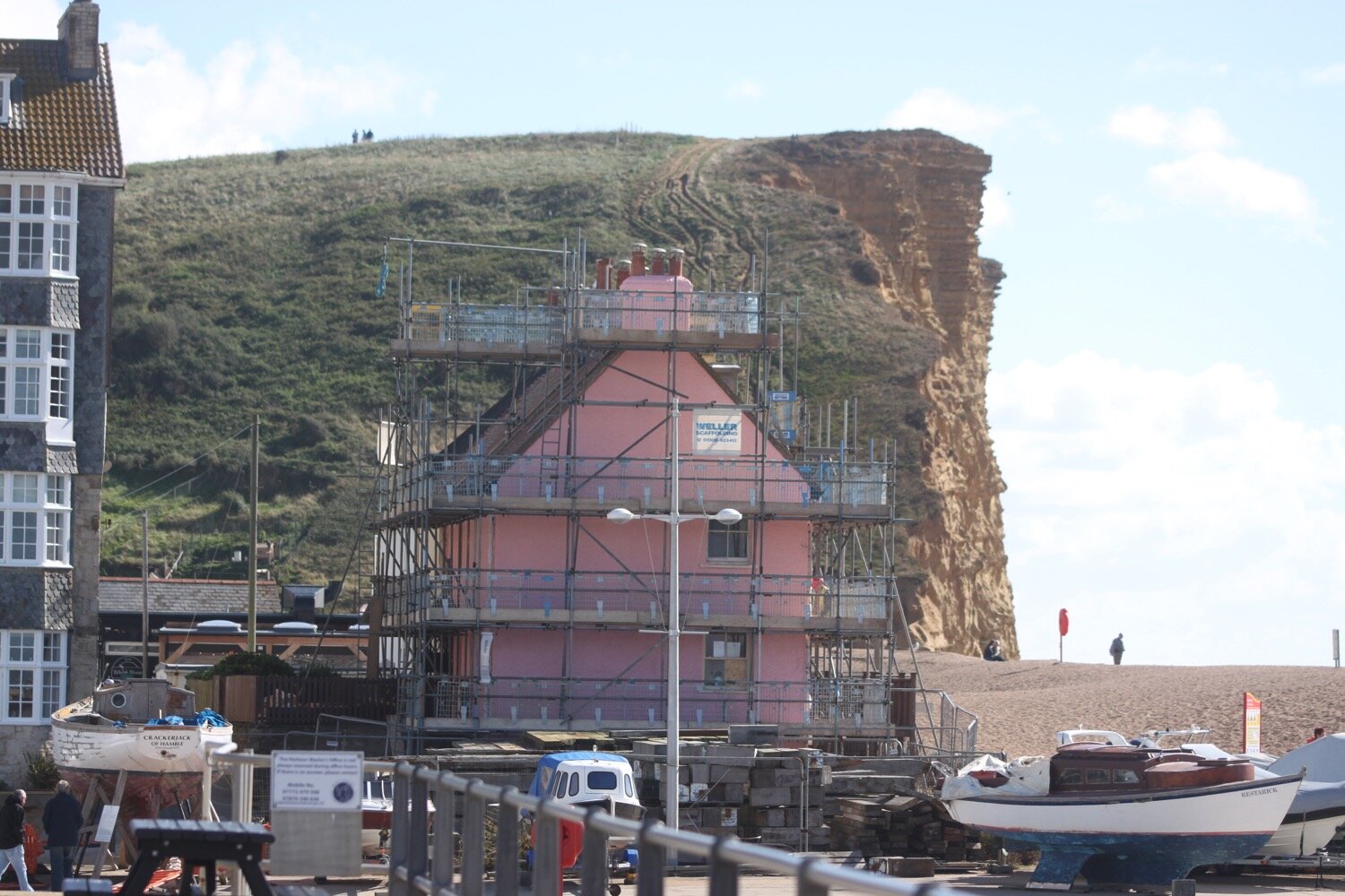
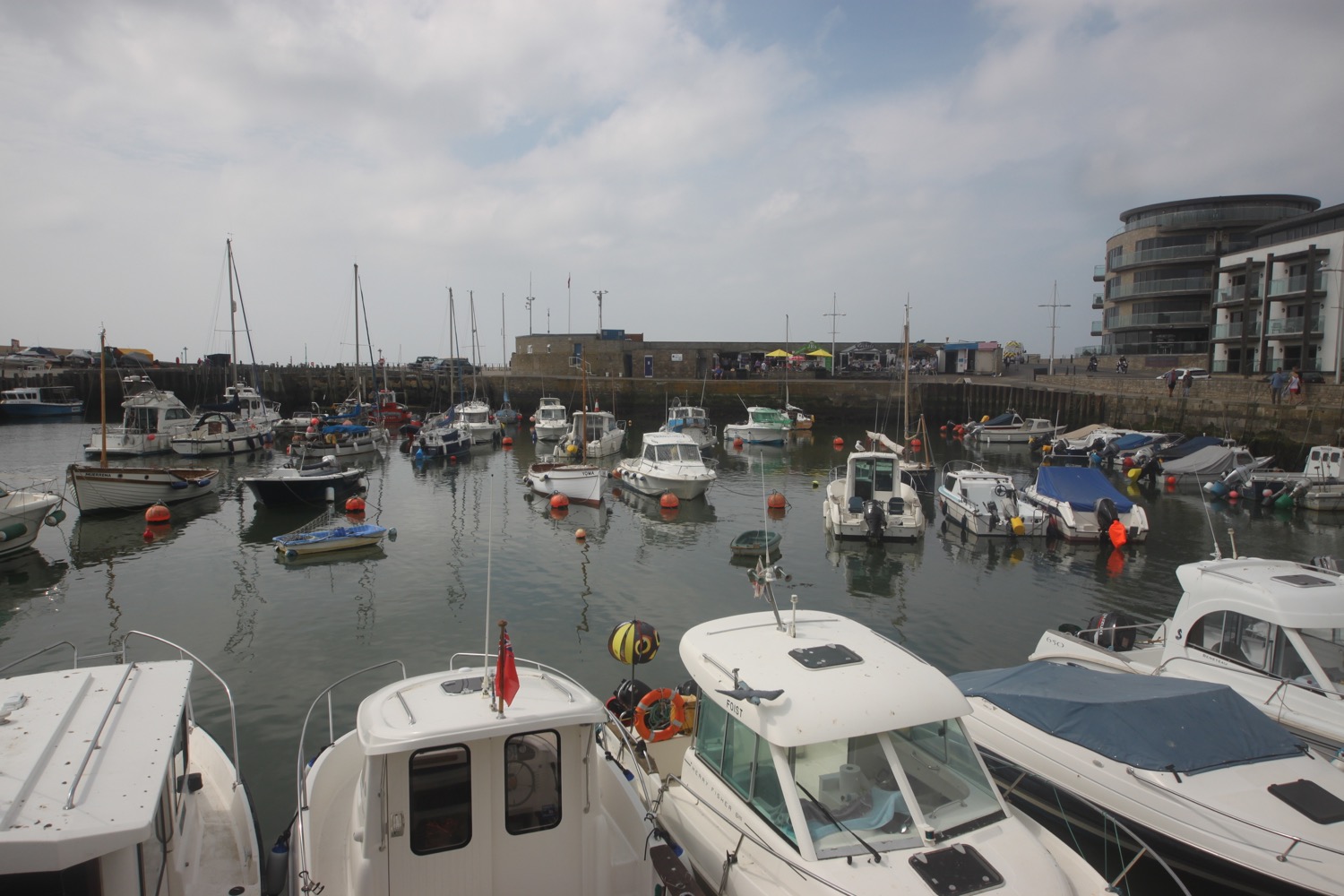
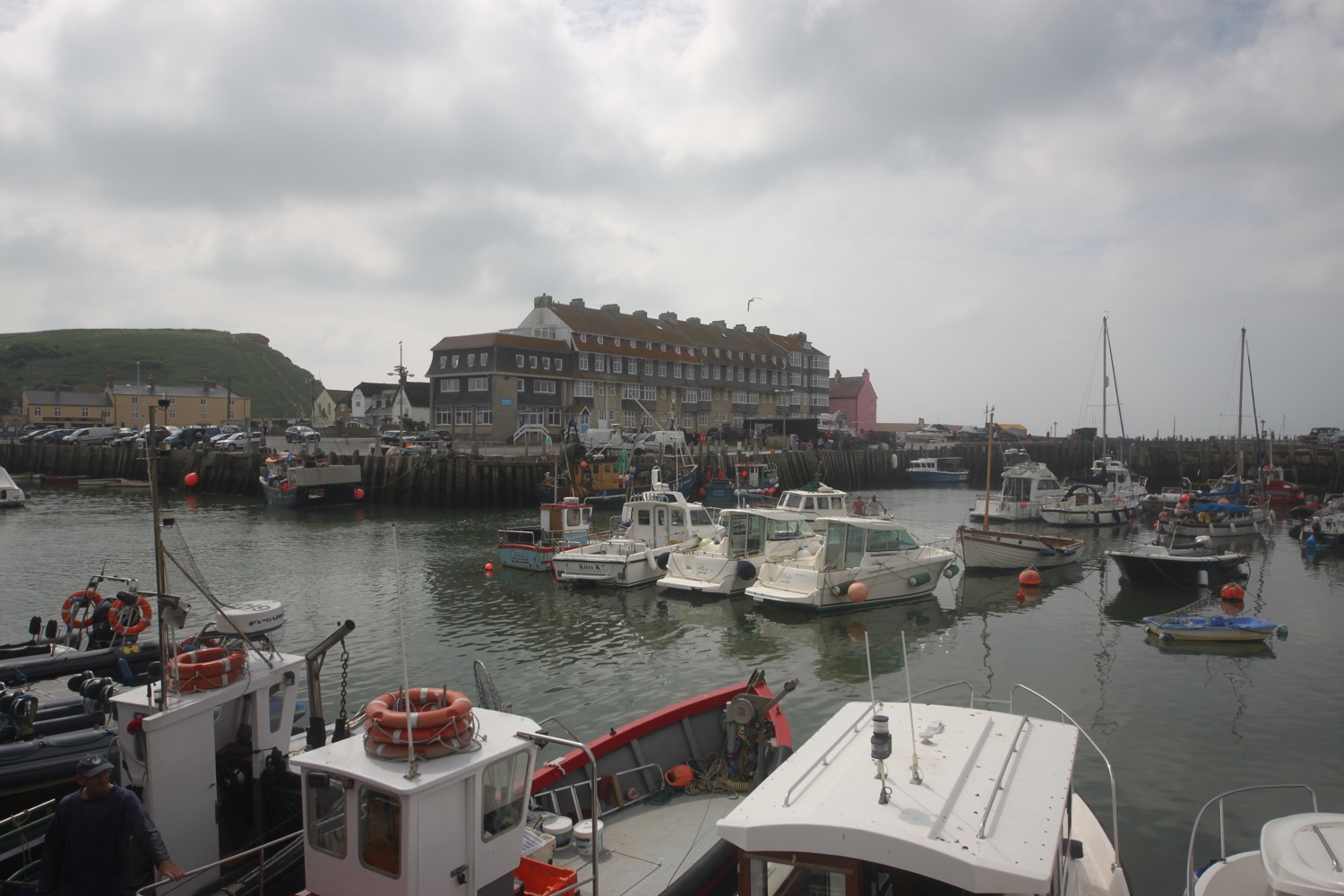
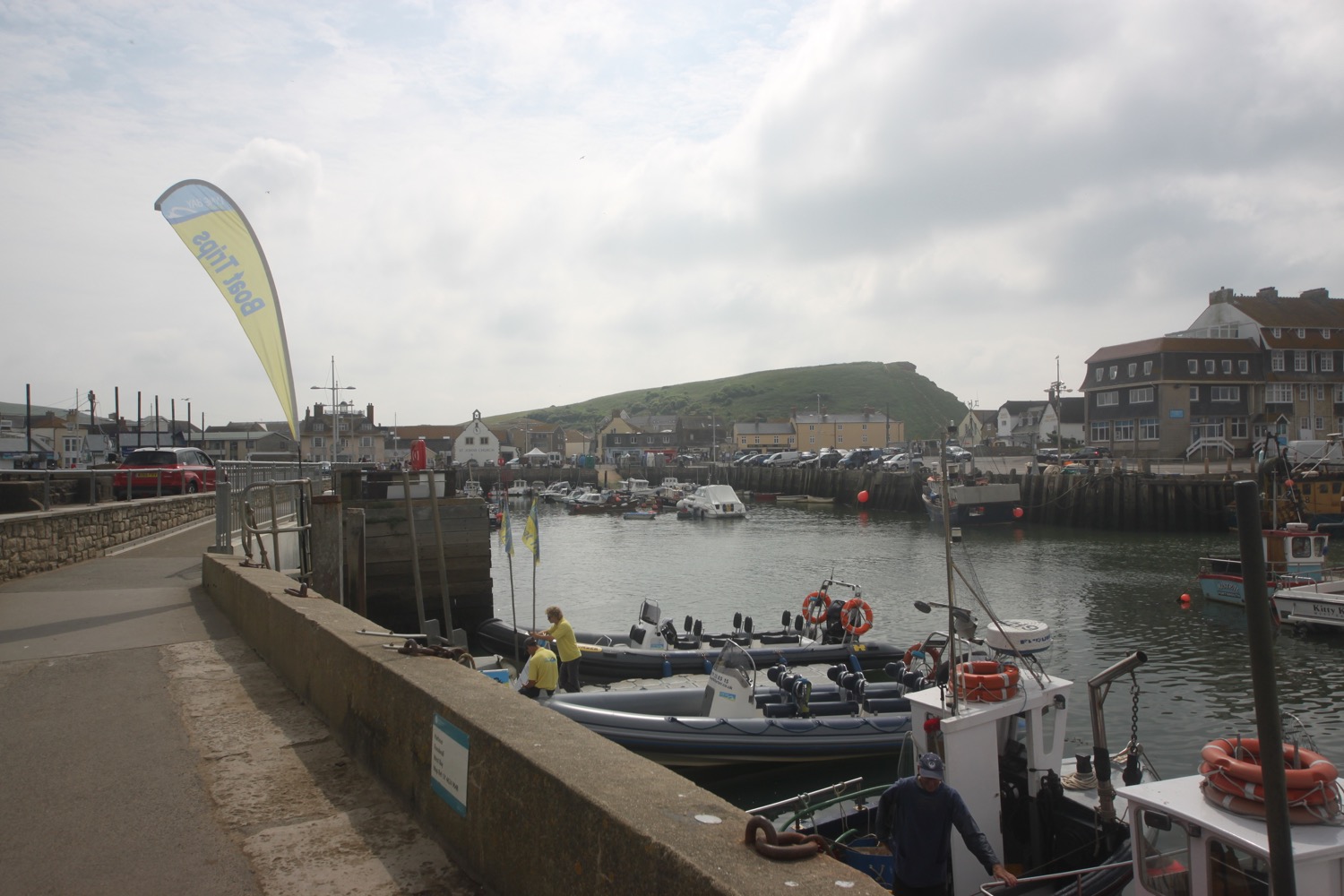
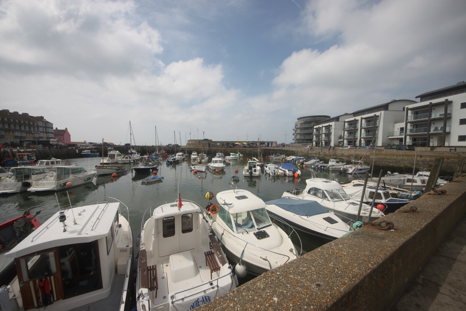
Another ascent and descent over West Cliff takes me to the charming West Bay.
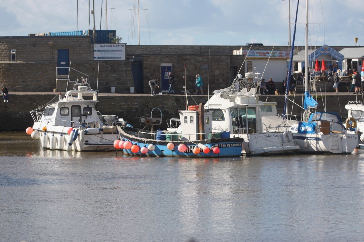
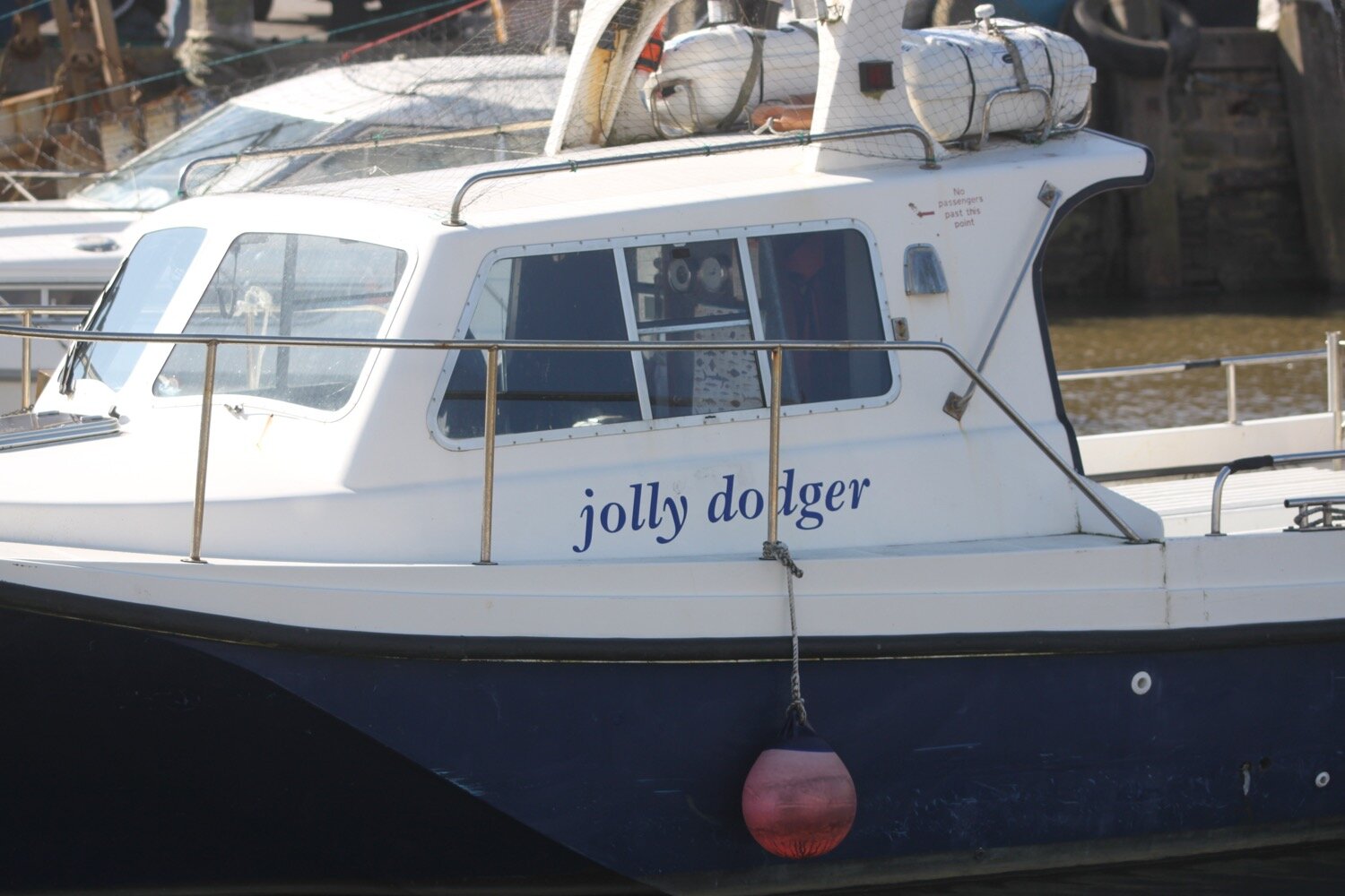
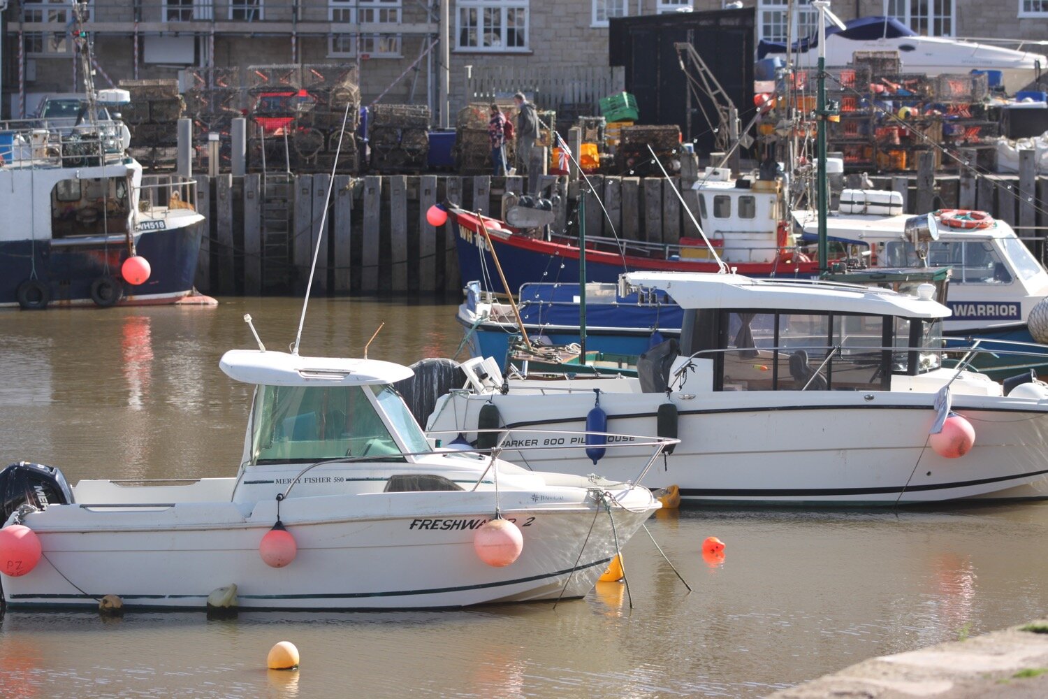
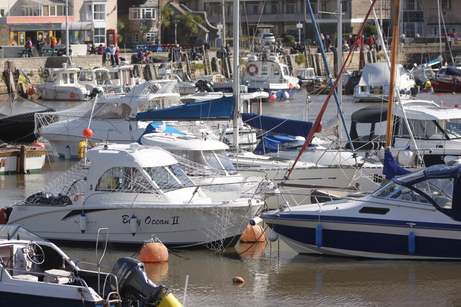
west bay
west bay
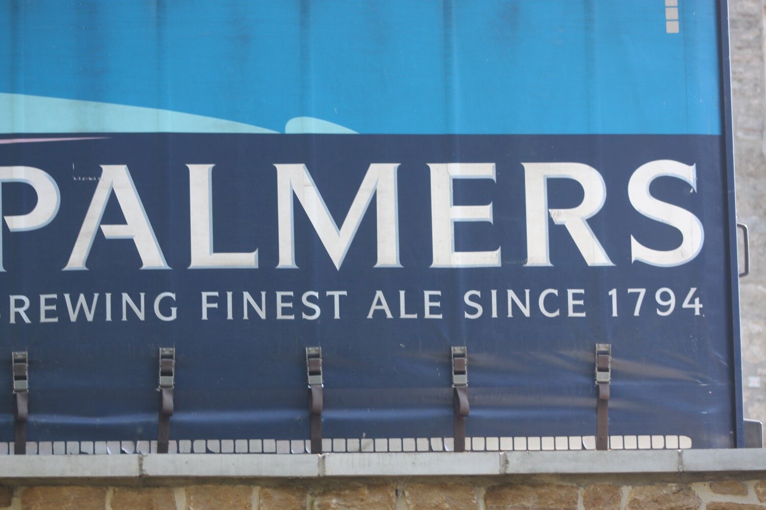
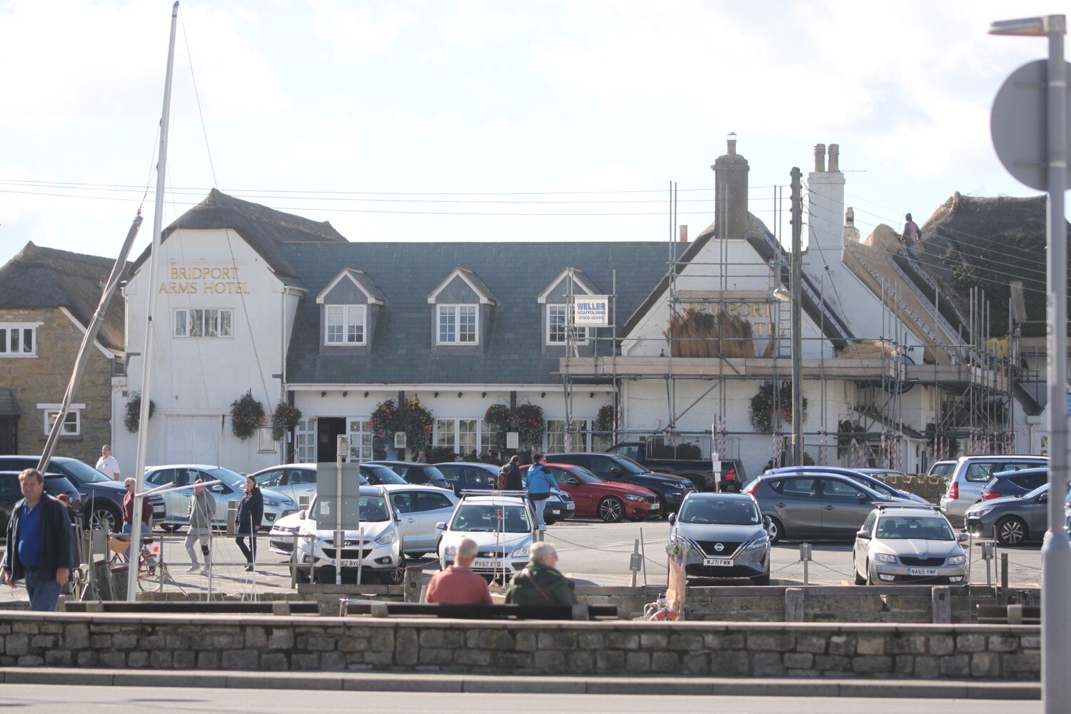
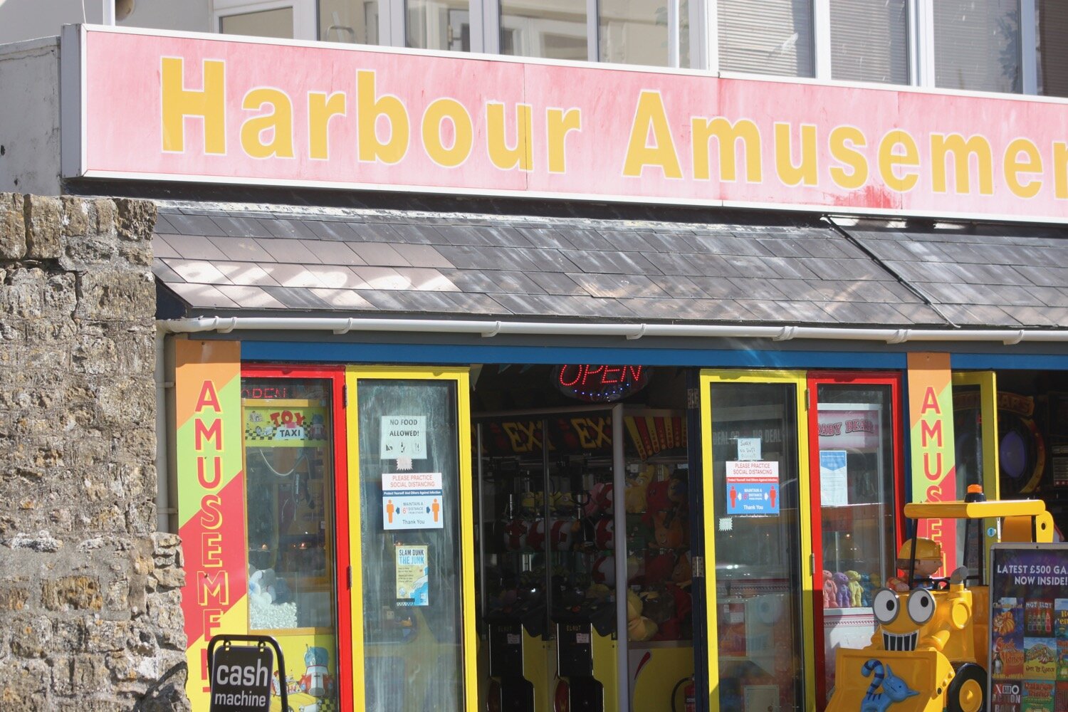
I've lost count of the number of times I've visited West Bay, but it's an awful lot. I round the harbour passing The George, the Bridport Arms Hotel, The West Bay Hotel, the amusement arcade and all of the food shacks dotted around the harbour. It is very busy.


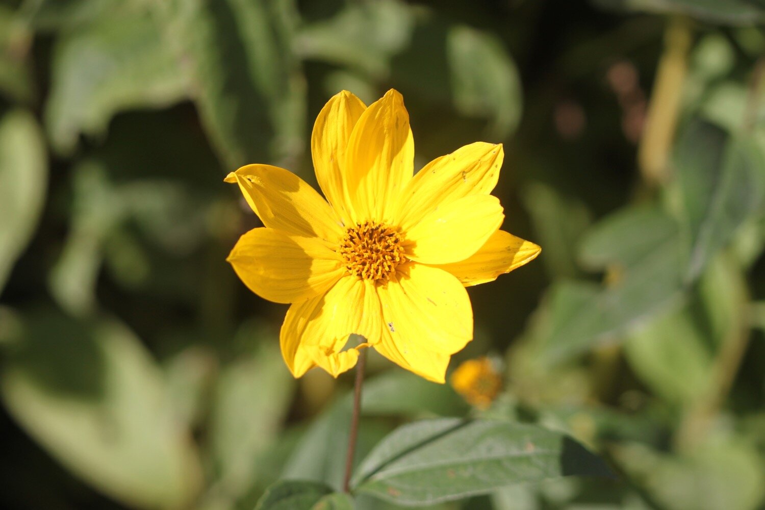
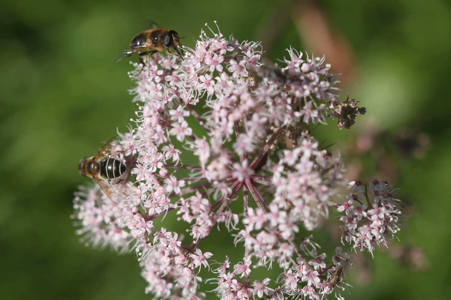
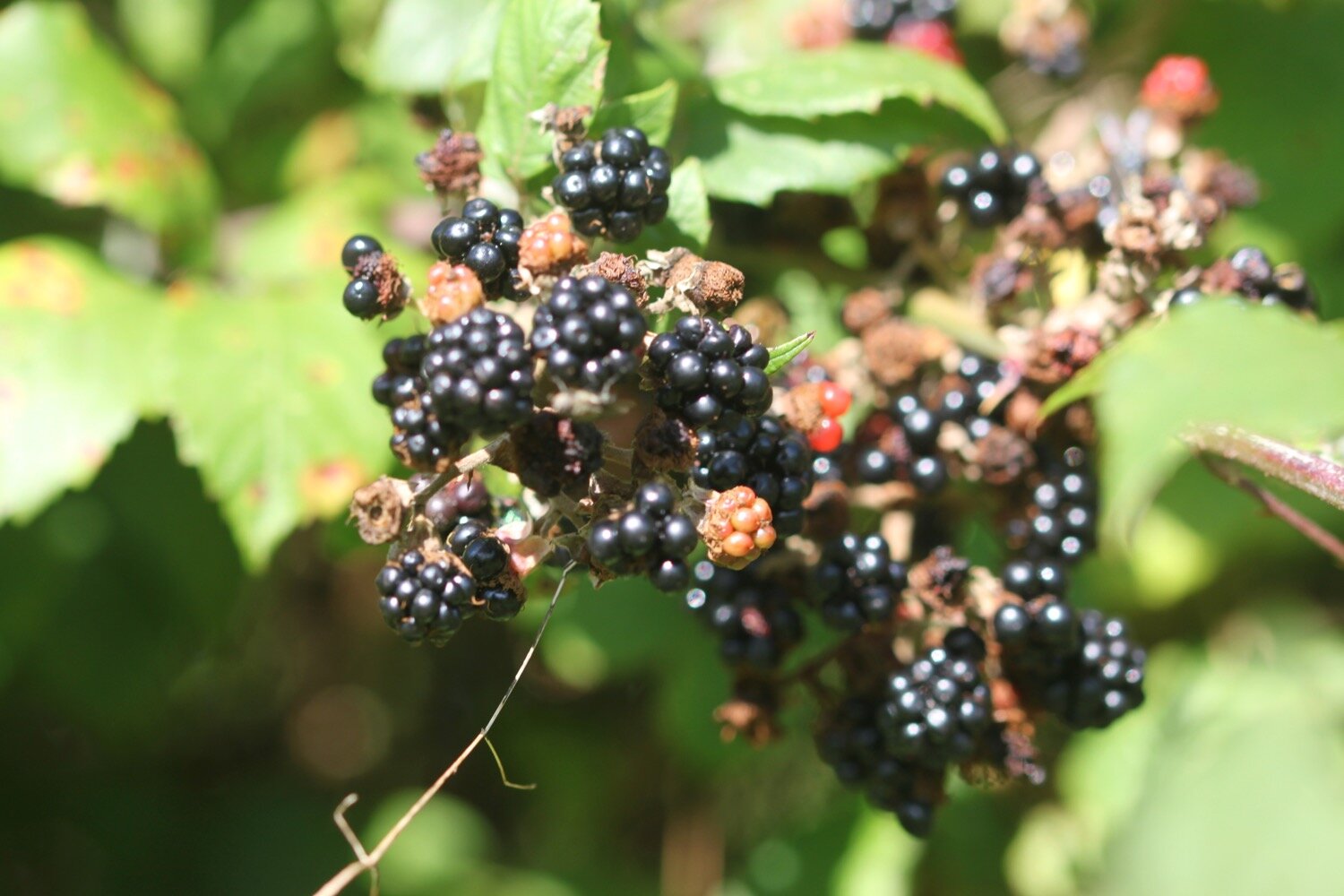
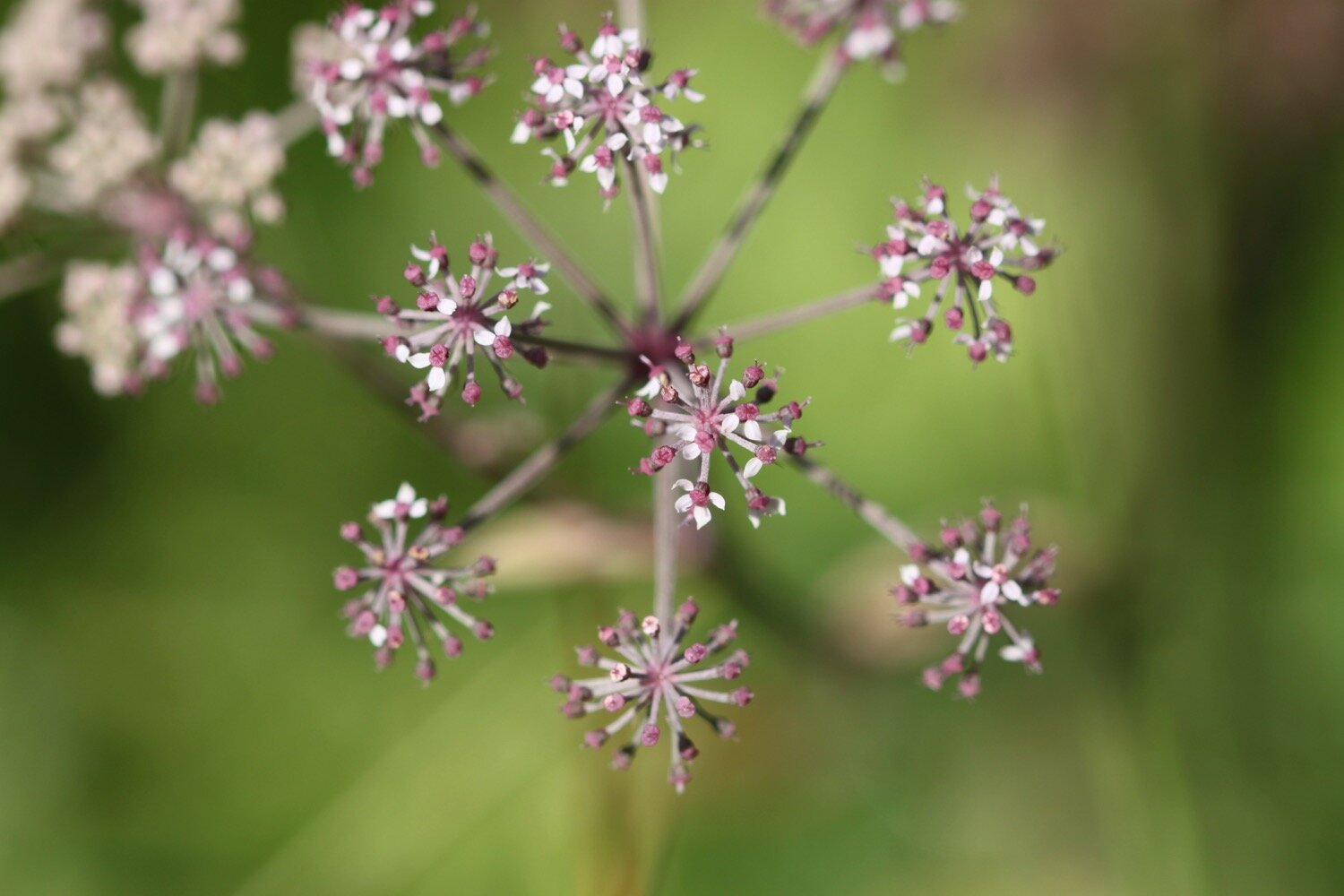
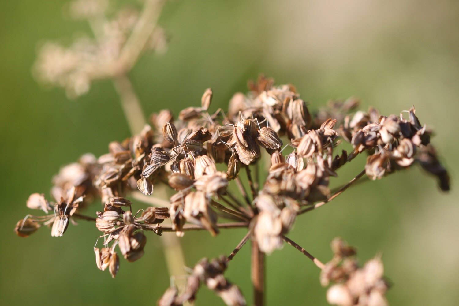
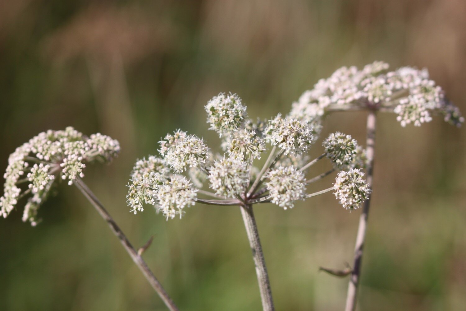
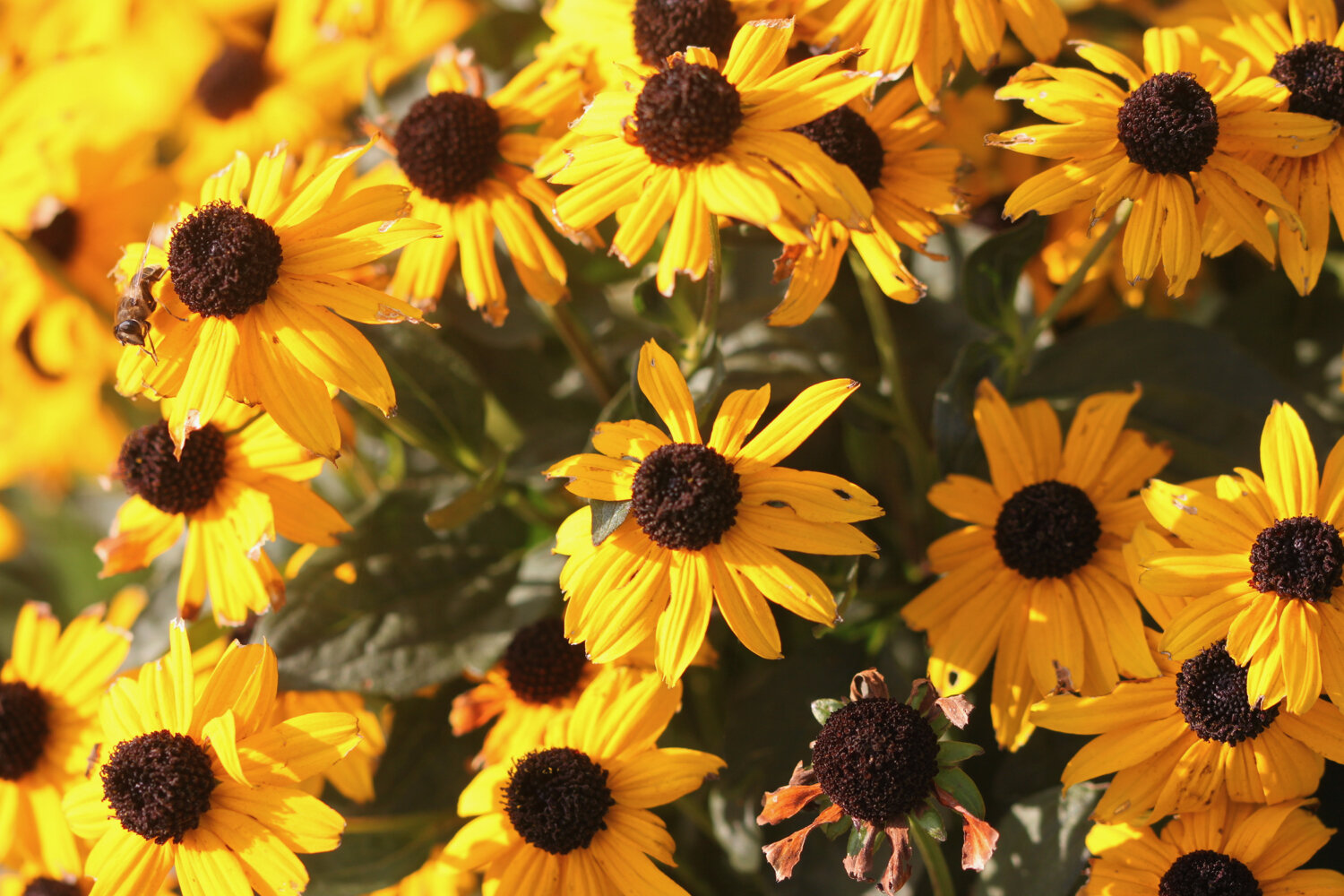
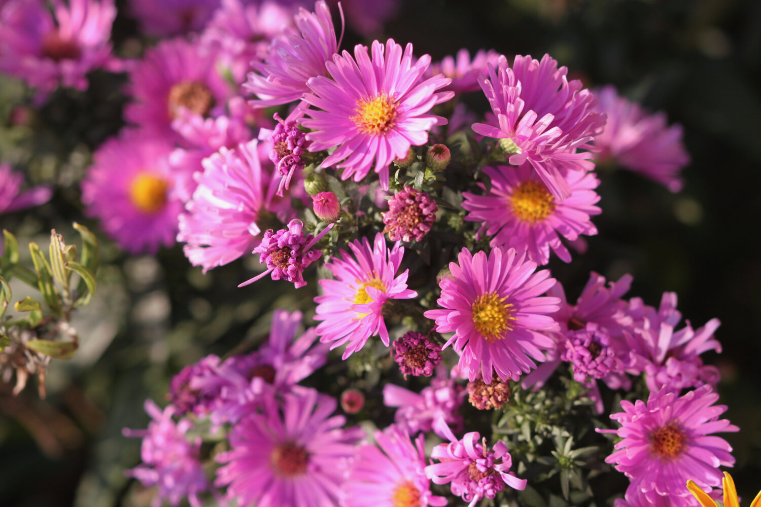
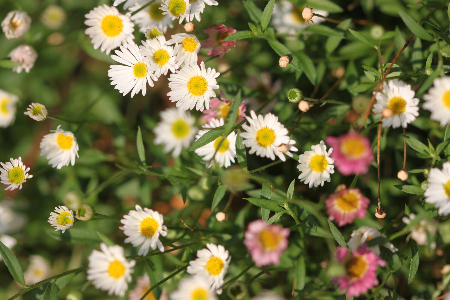
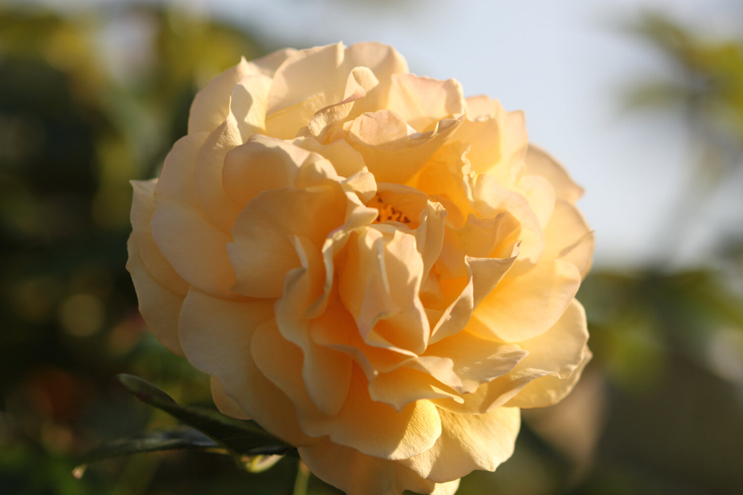
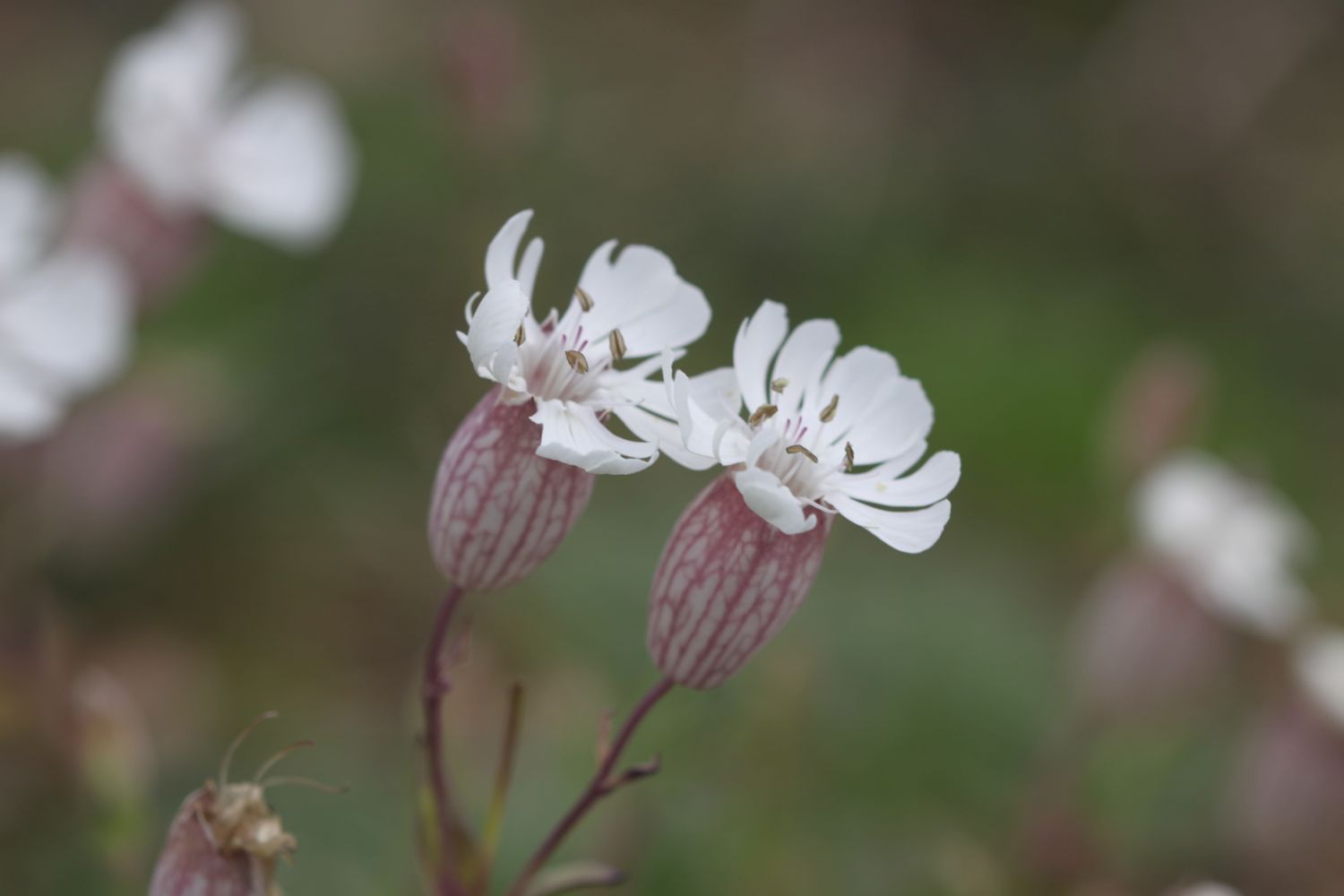
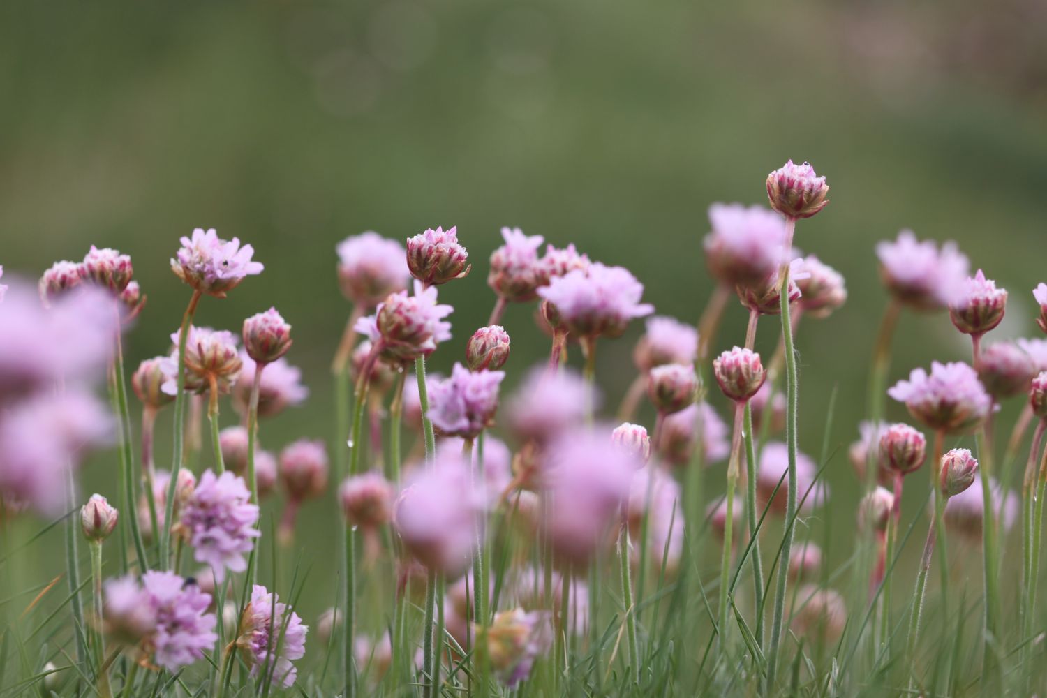
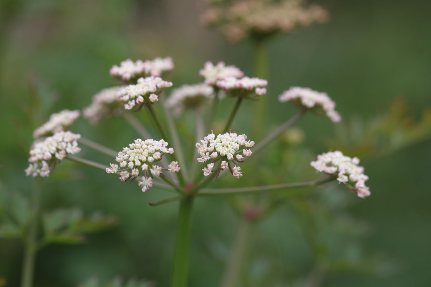
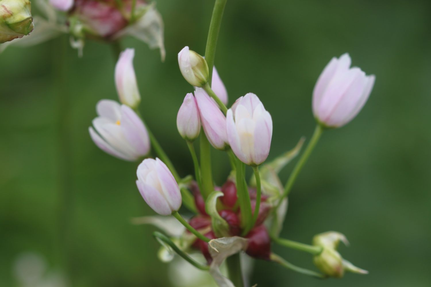
FLORA AND FAUNA
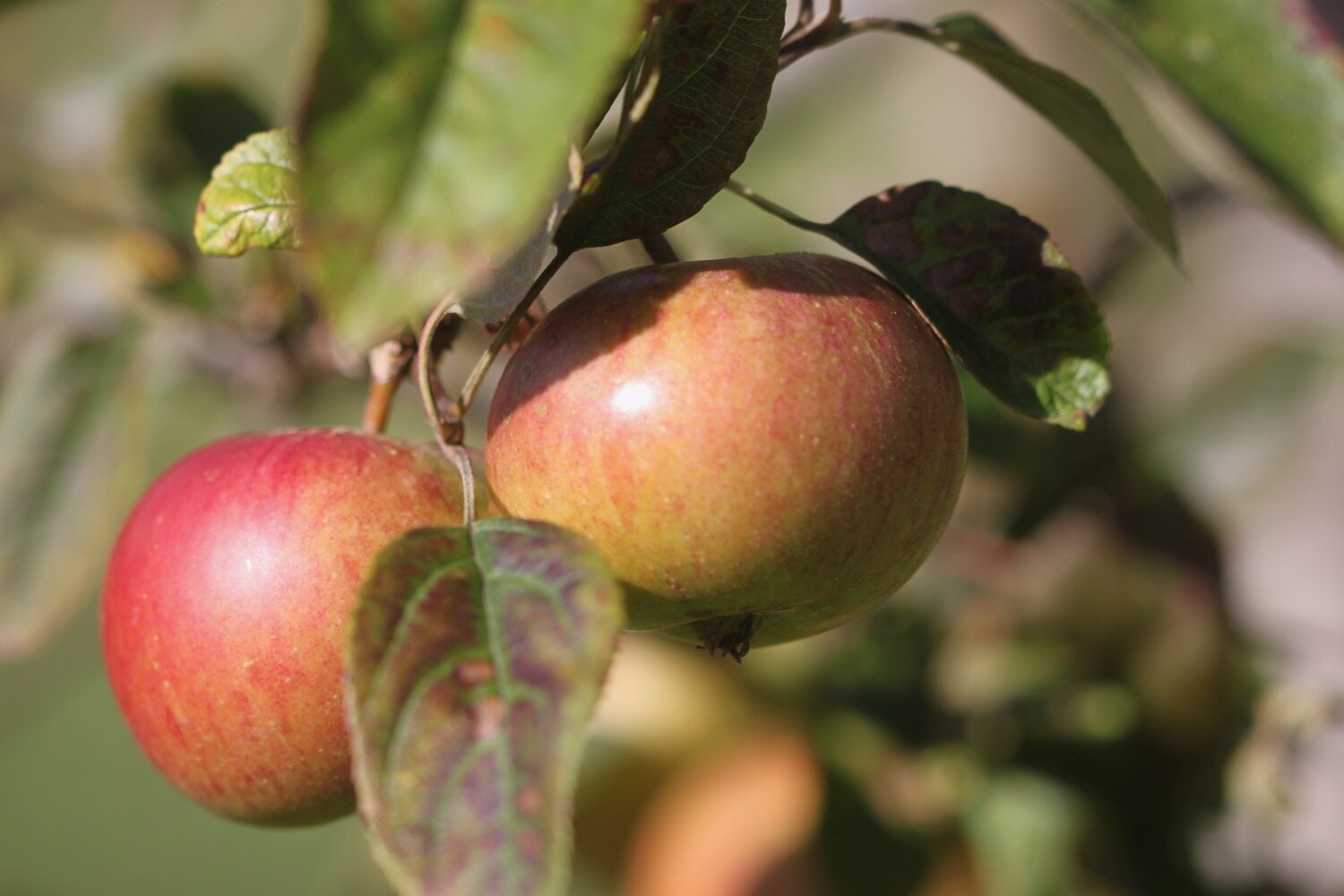
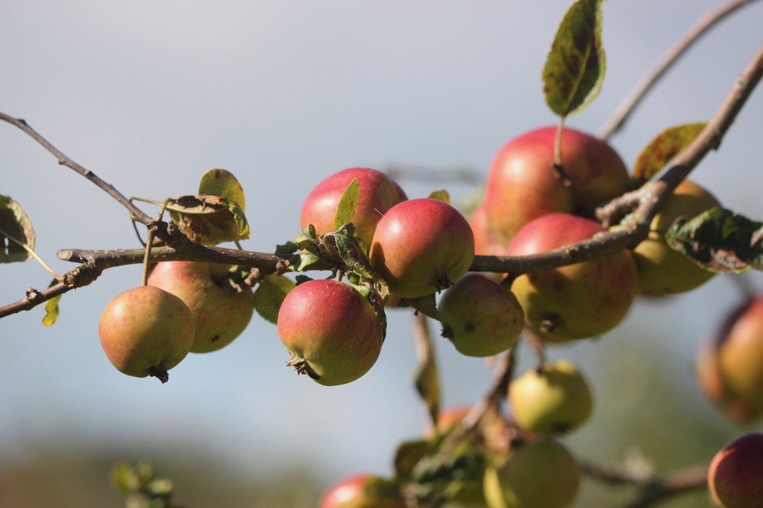
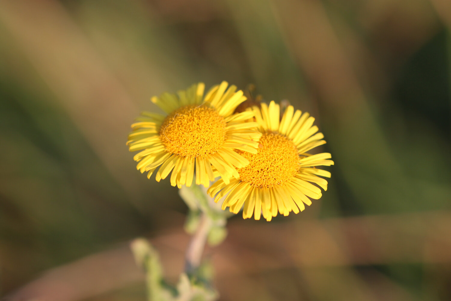
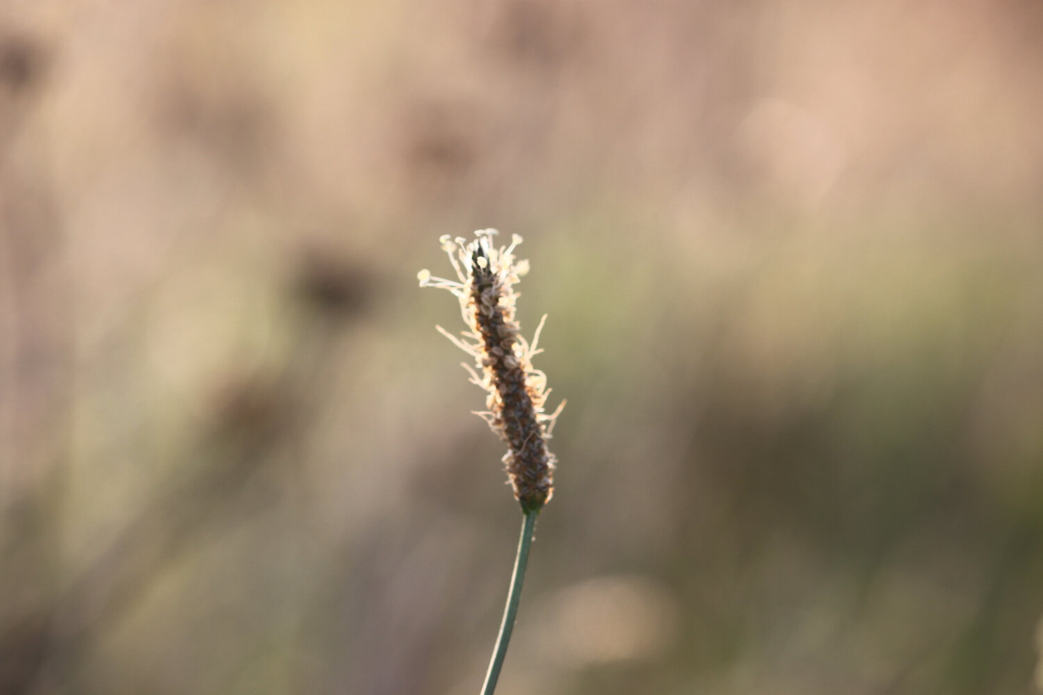
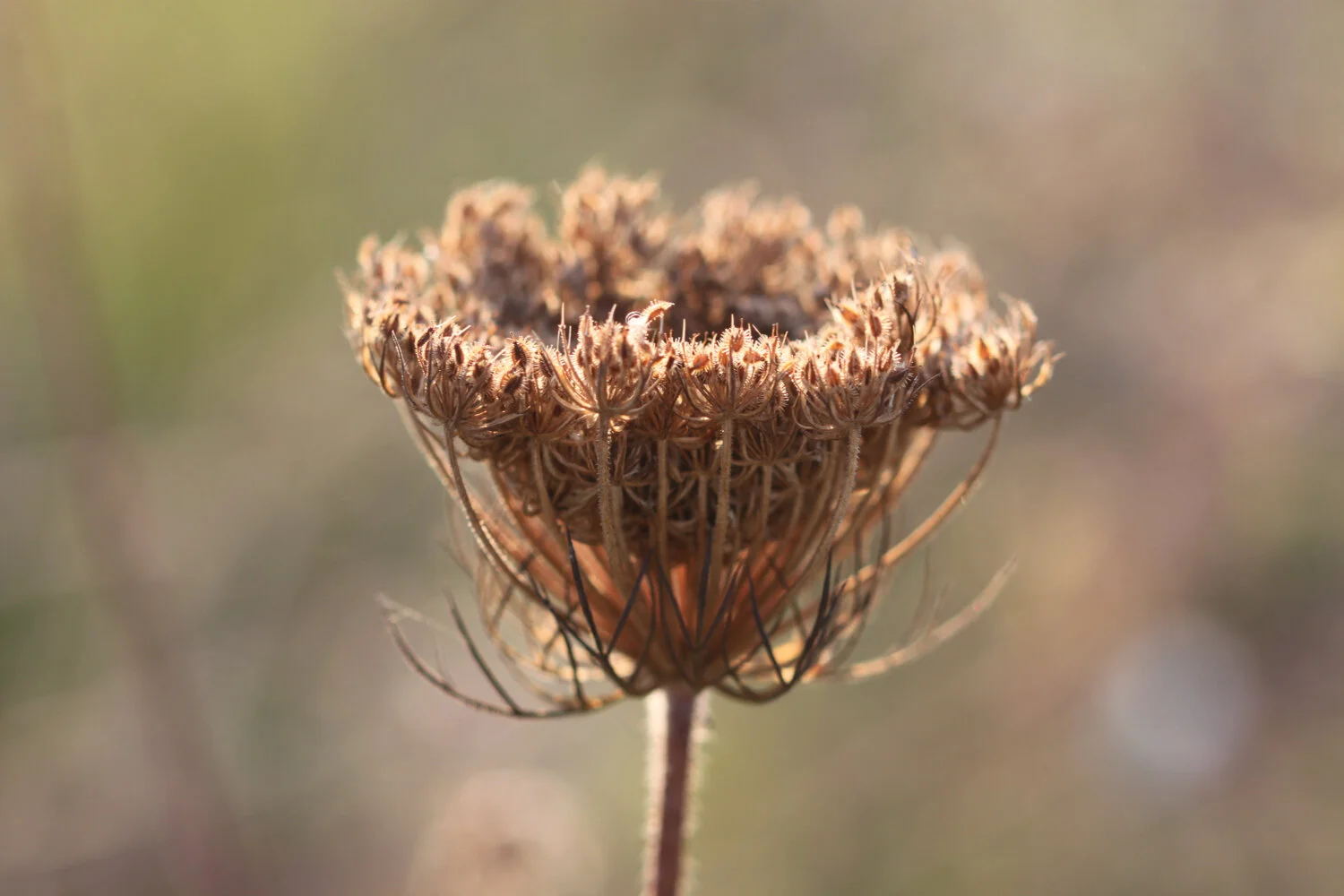
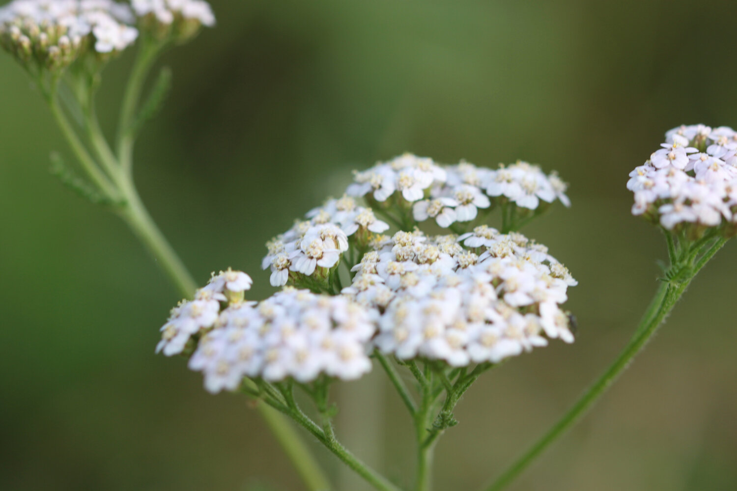
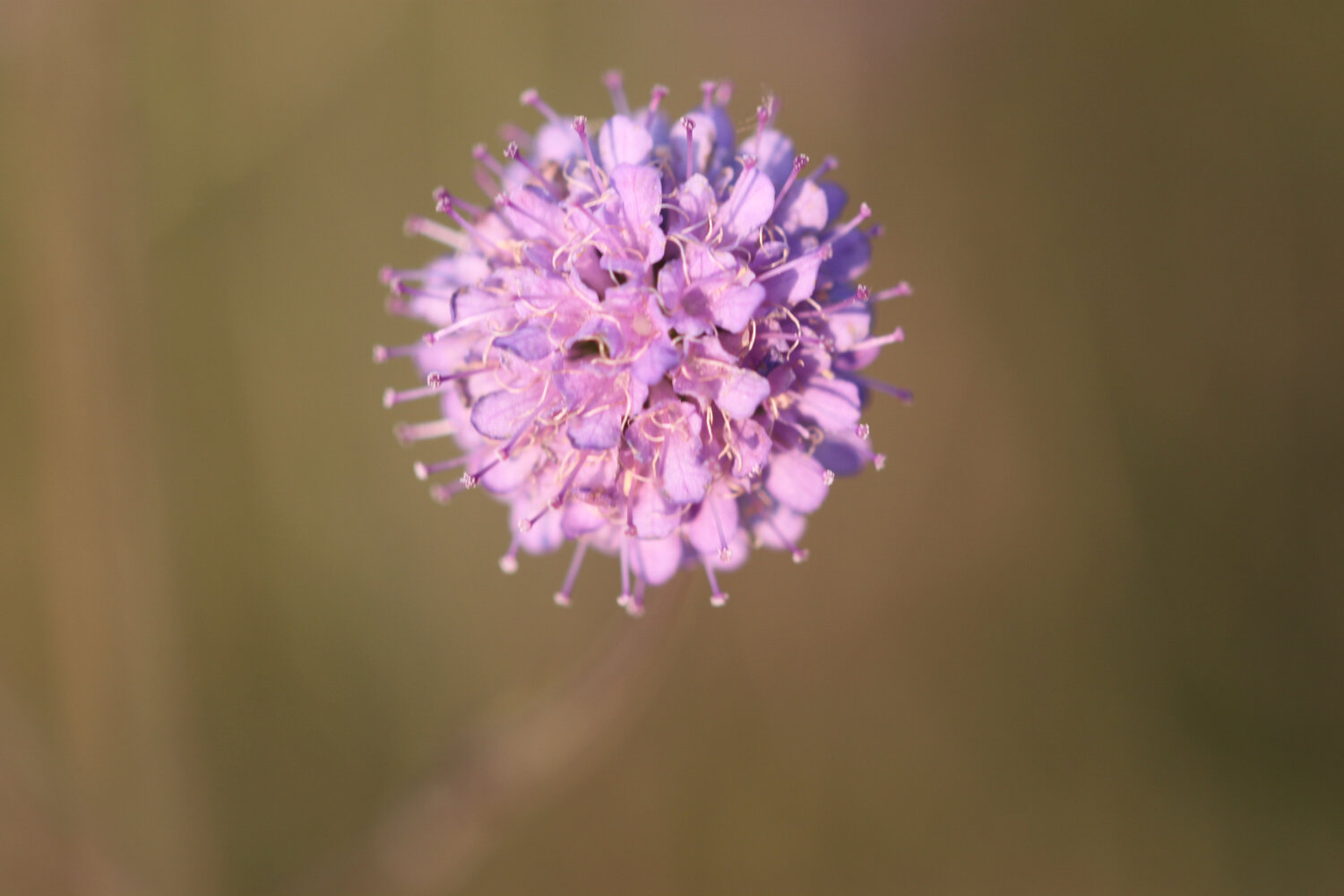
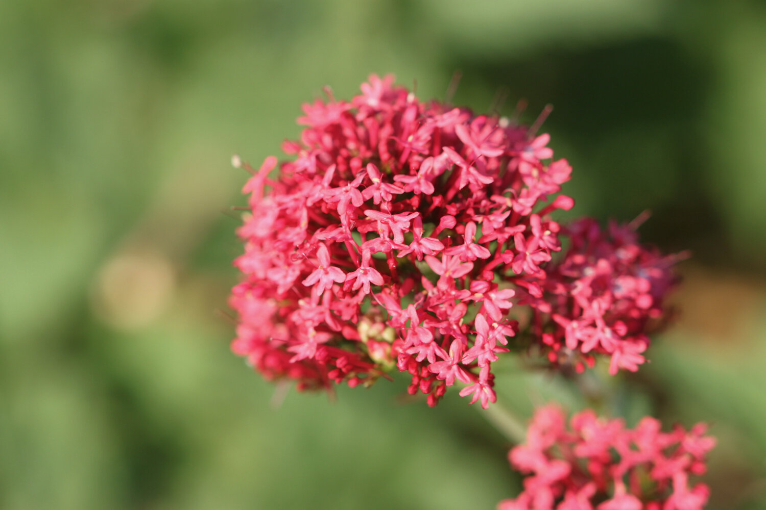
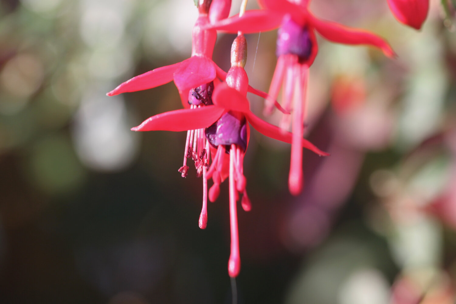
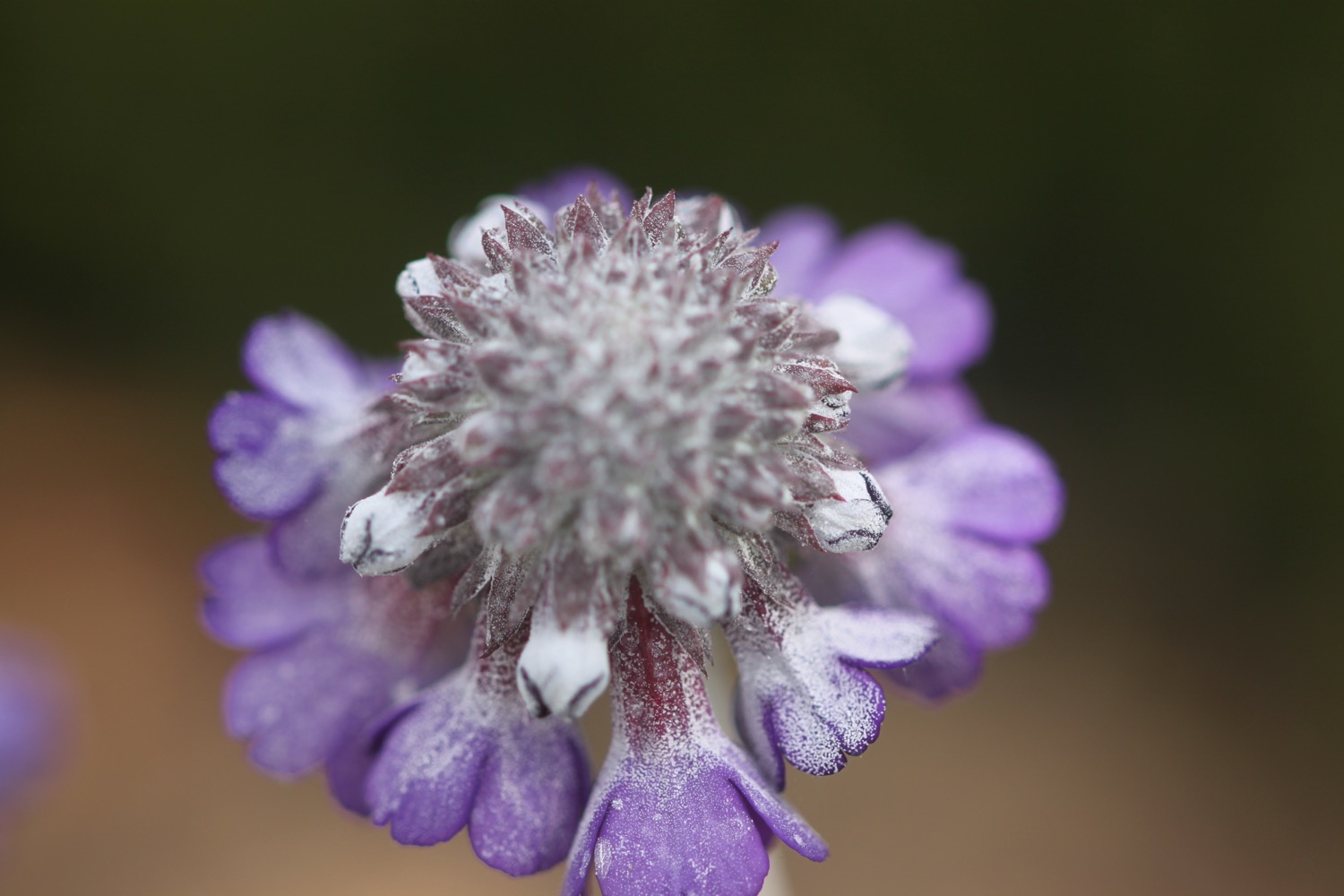
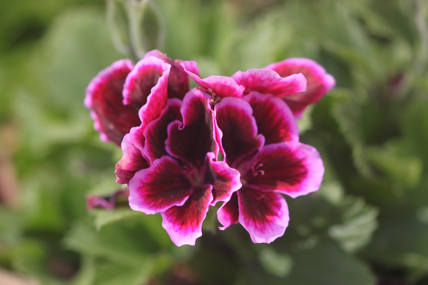
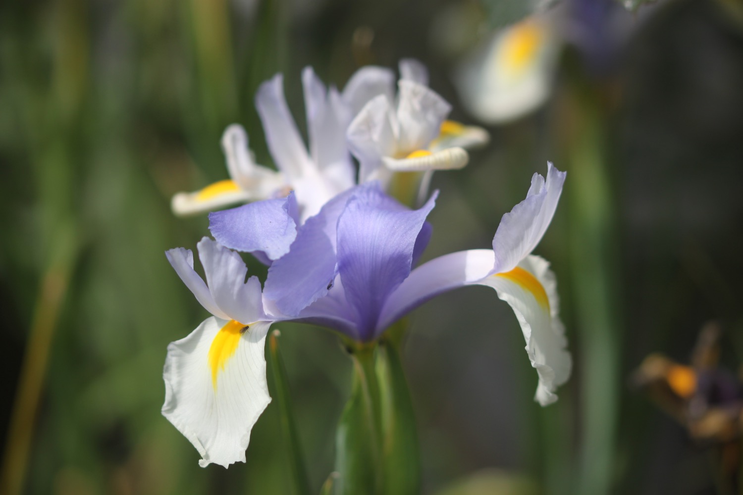
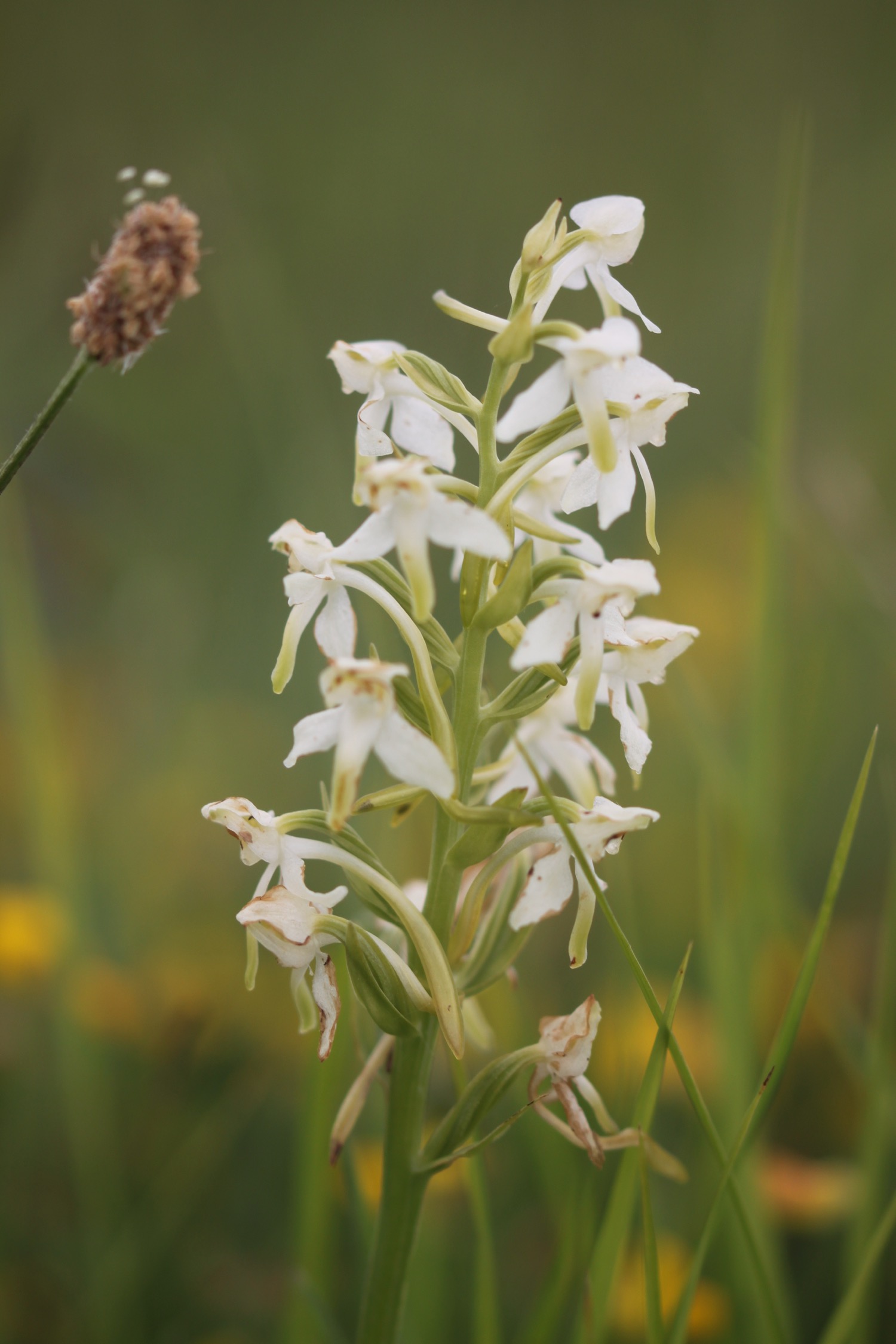
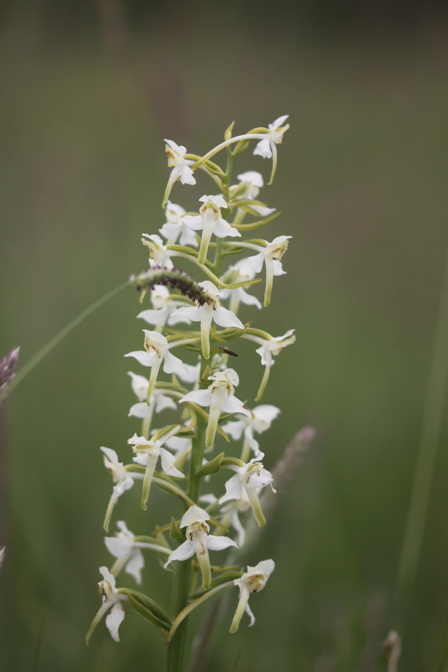
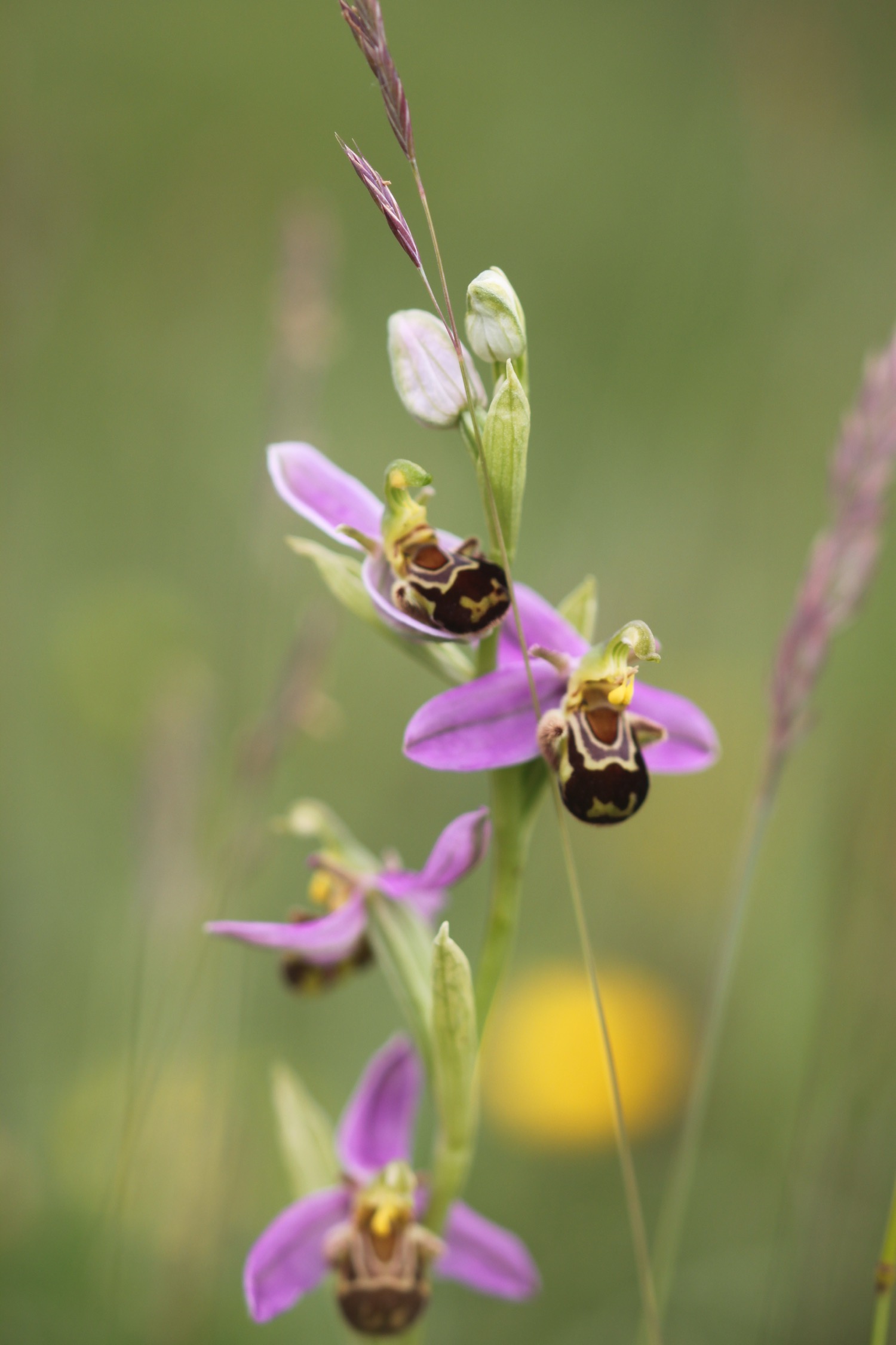
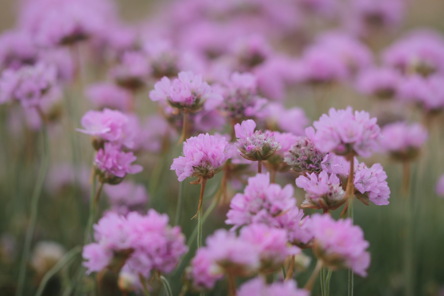
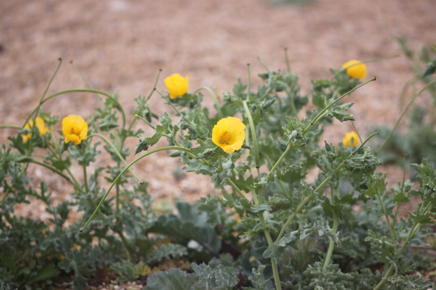
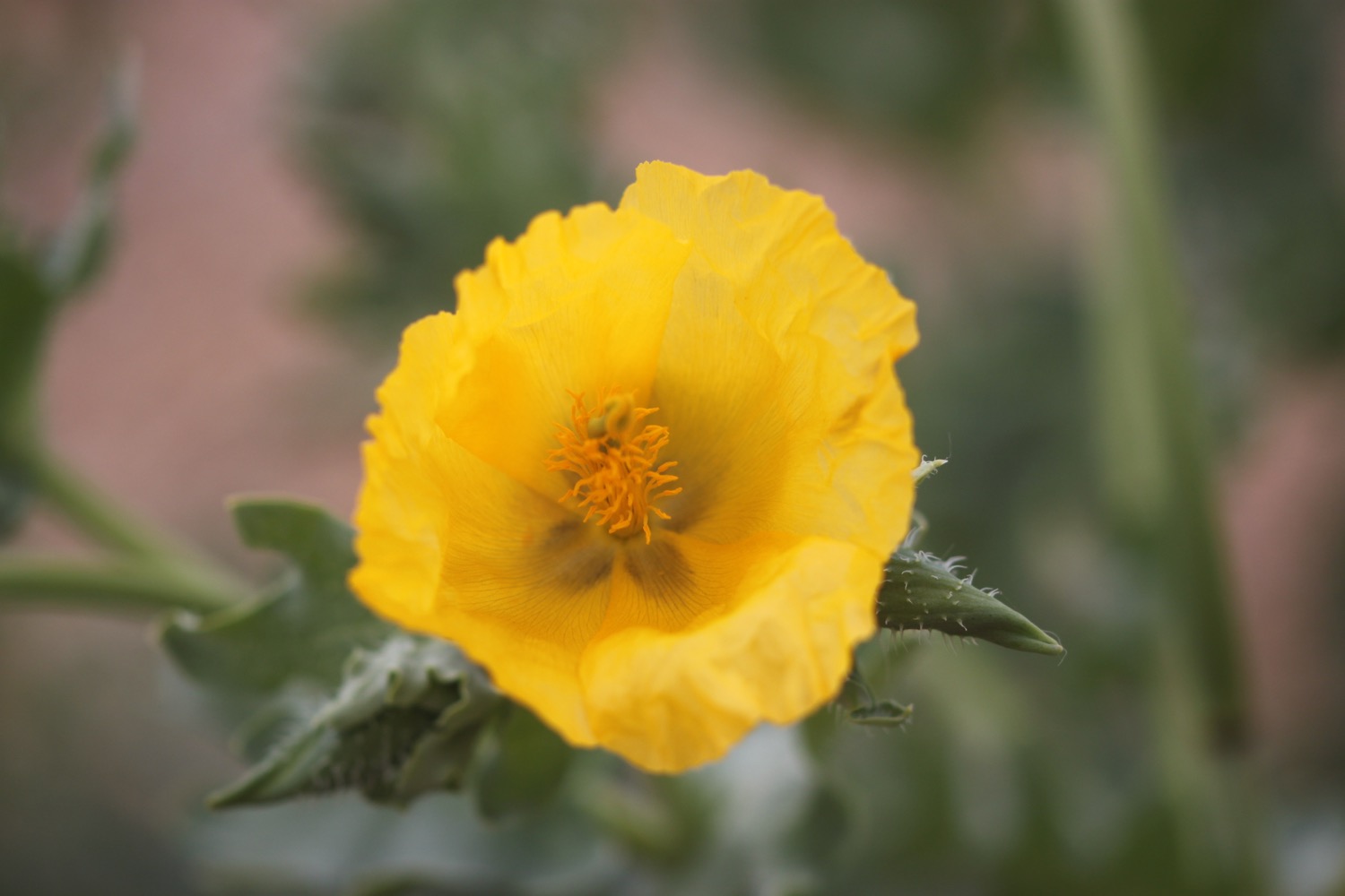
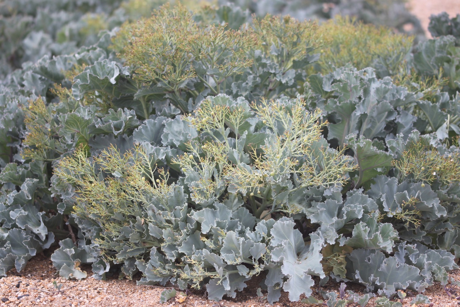
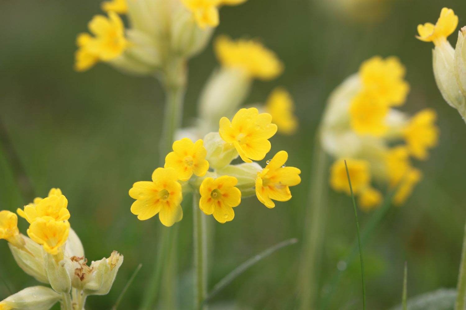
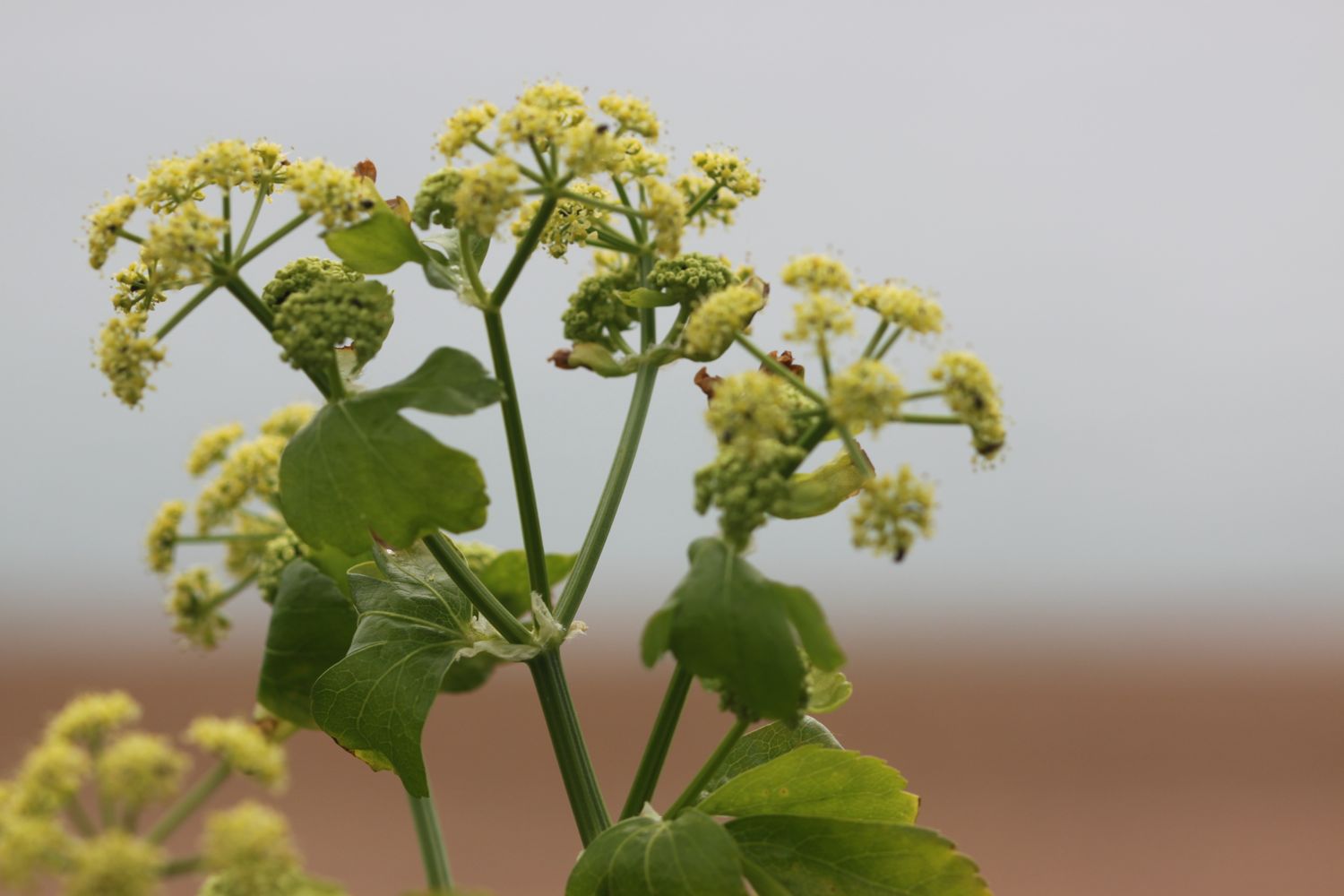
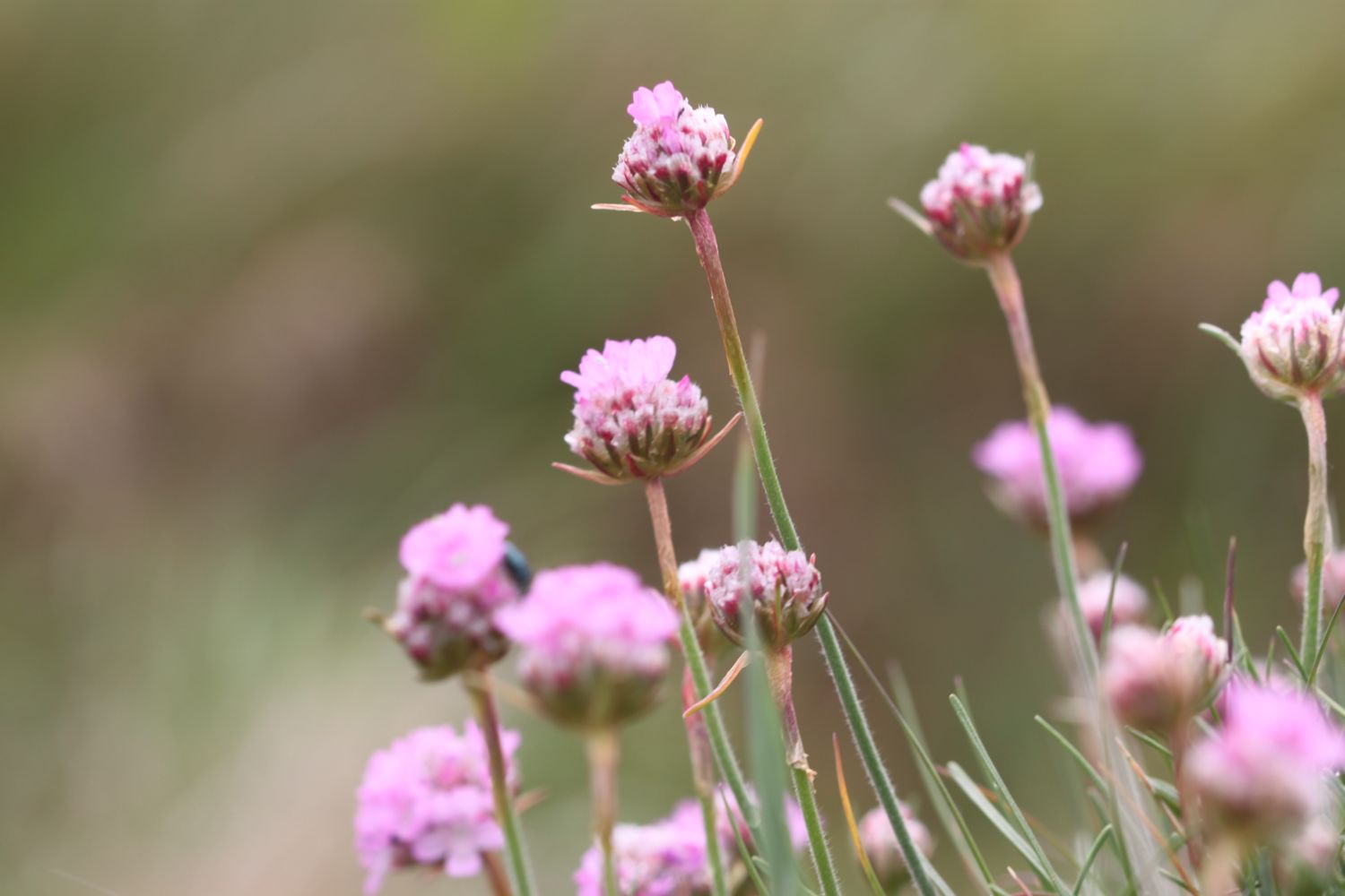
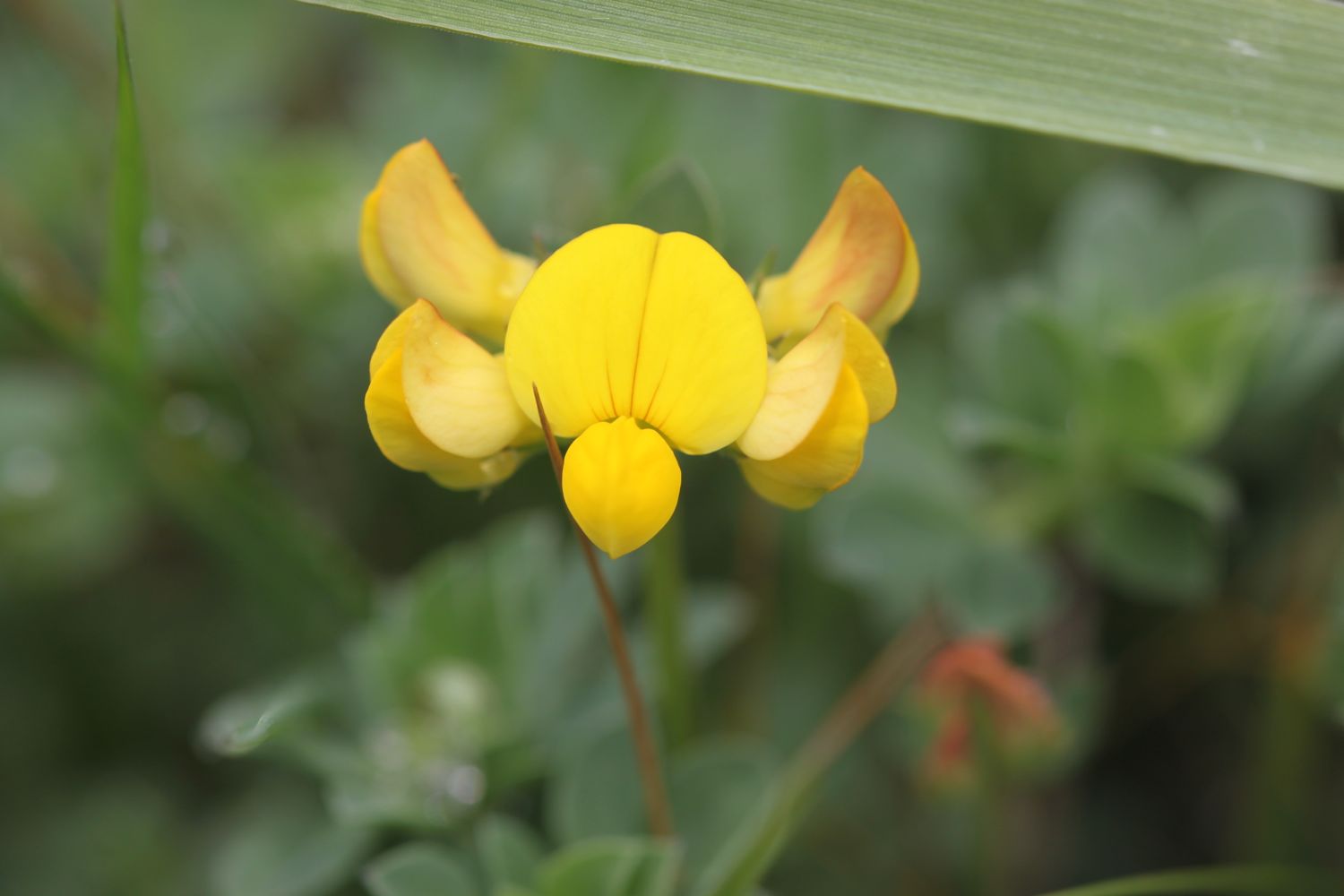
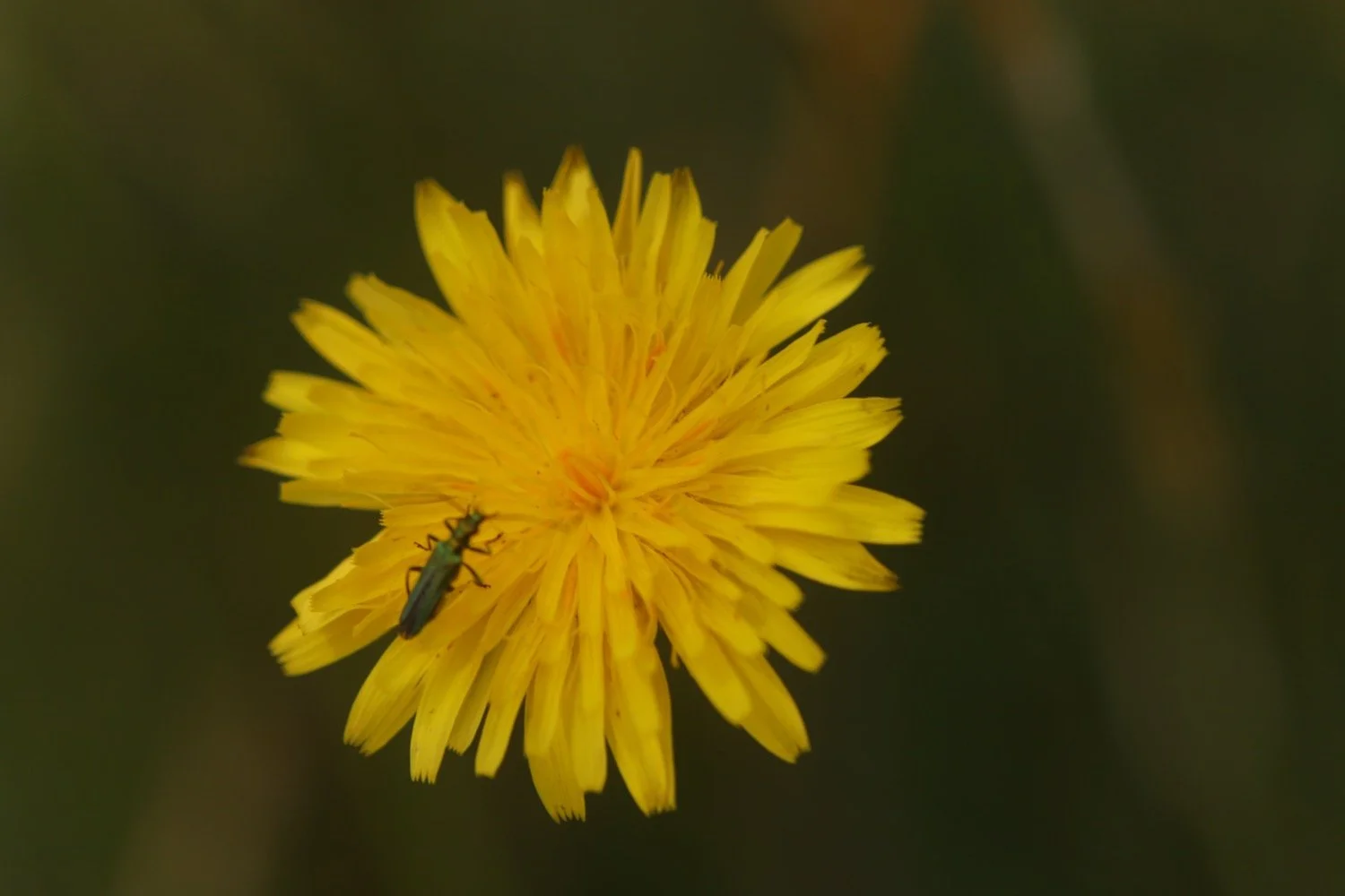
Flora and fauna encountered on the walk today includes :-
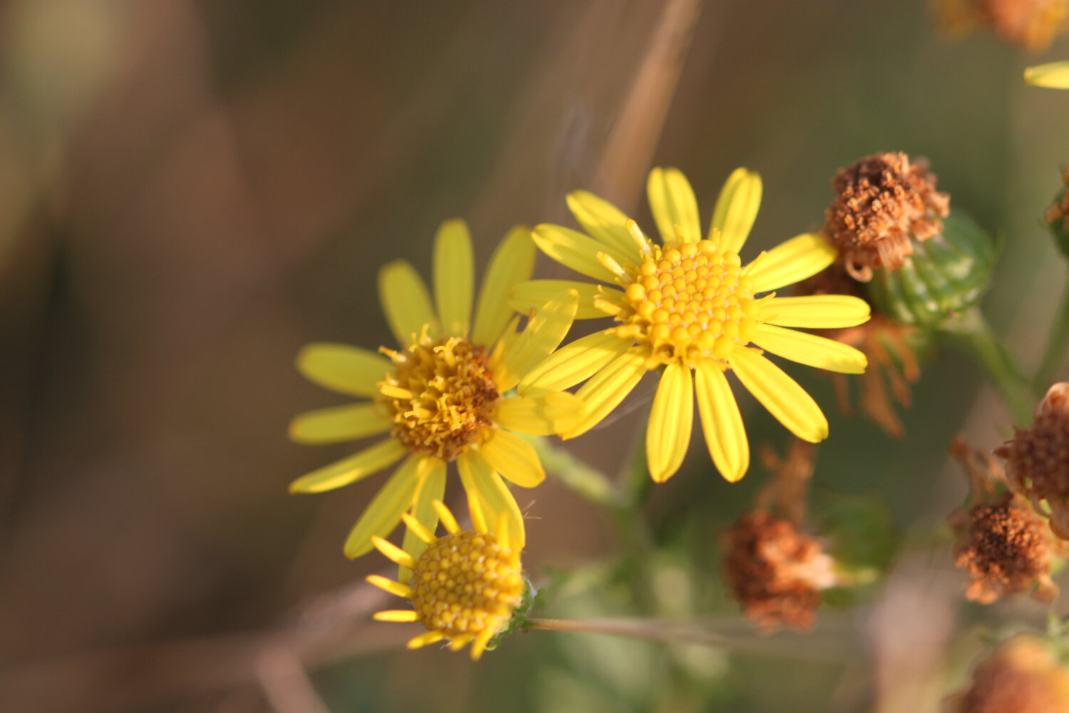
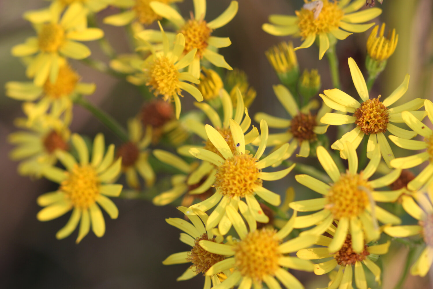
oxeye daisy
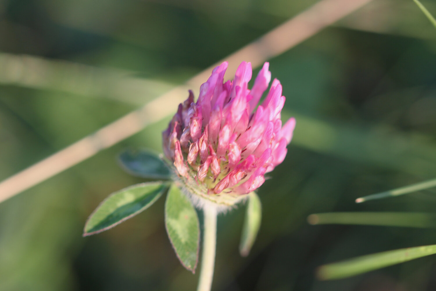
red clover
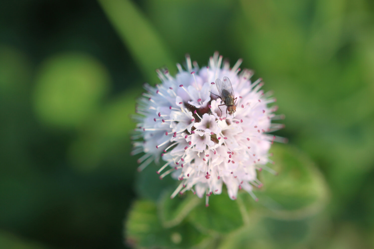
knapweed
honeysuckle
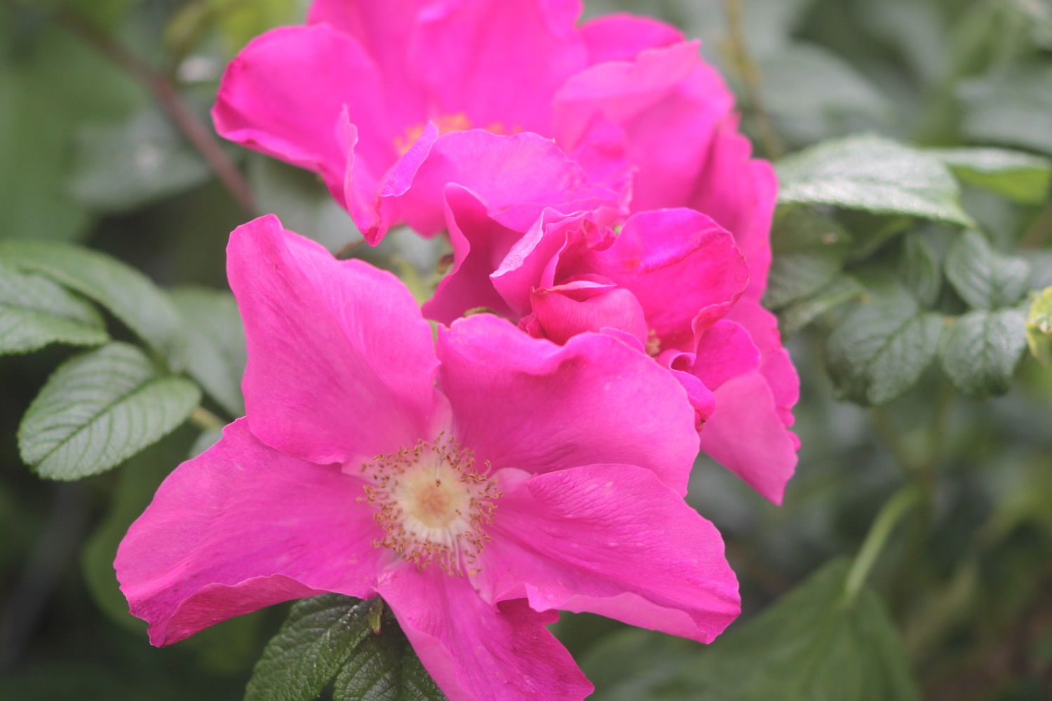
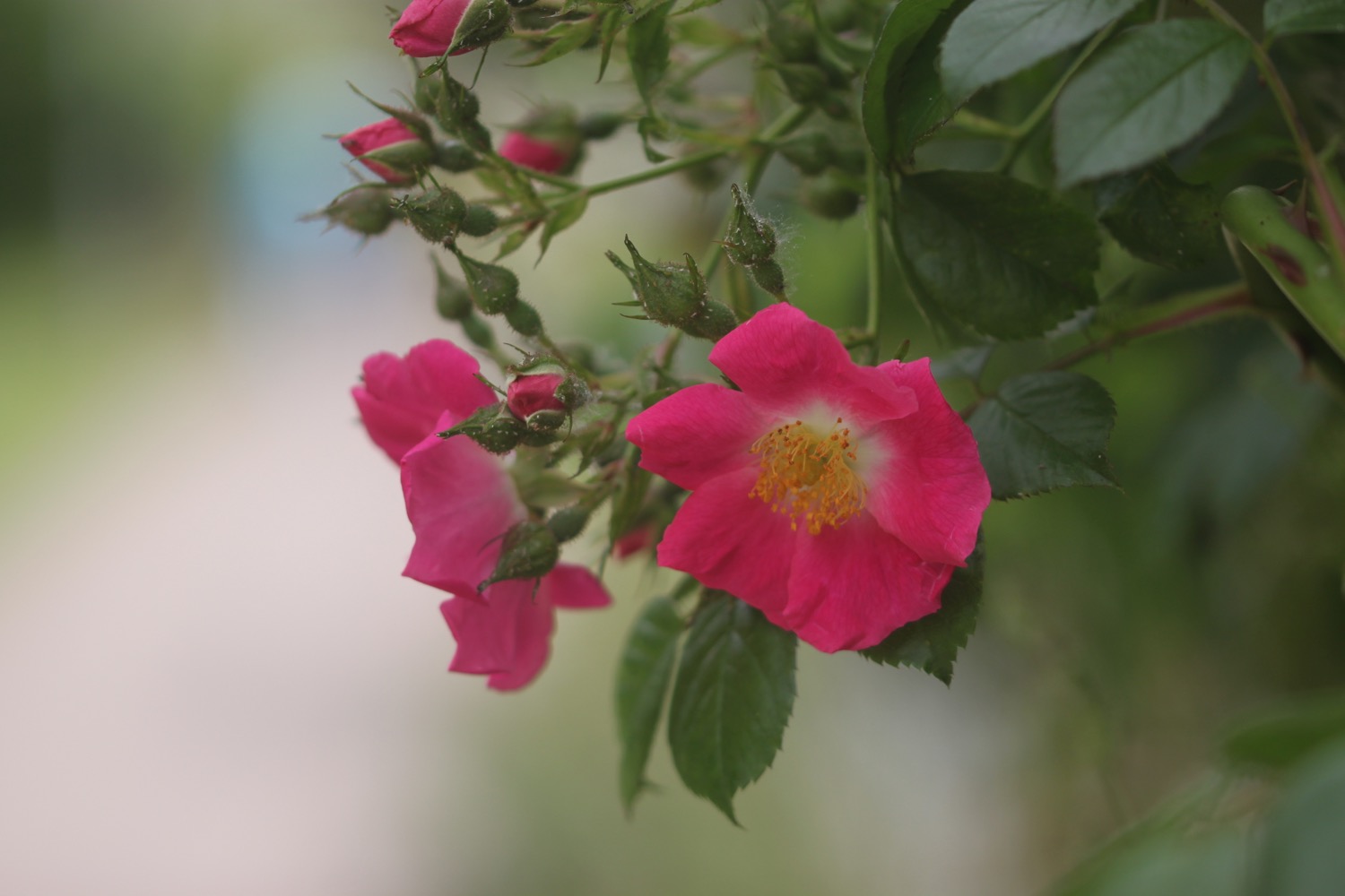
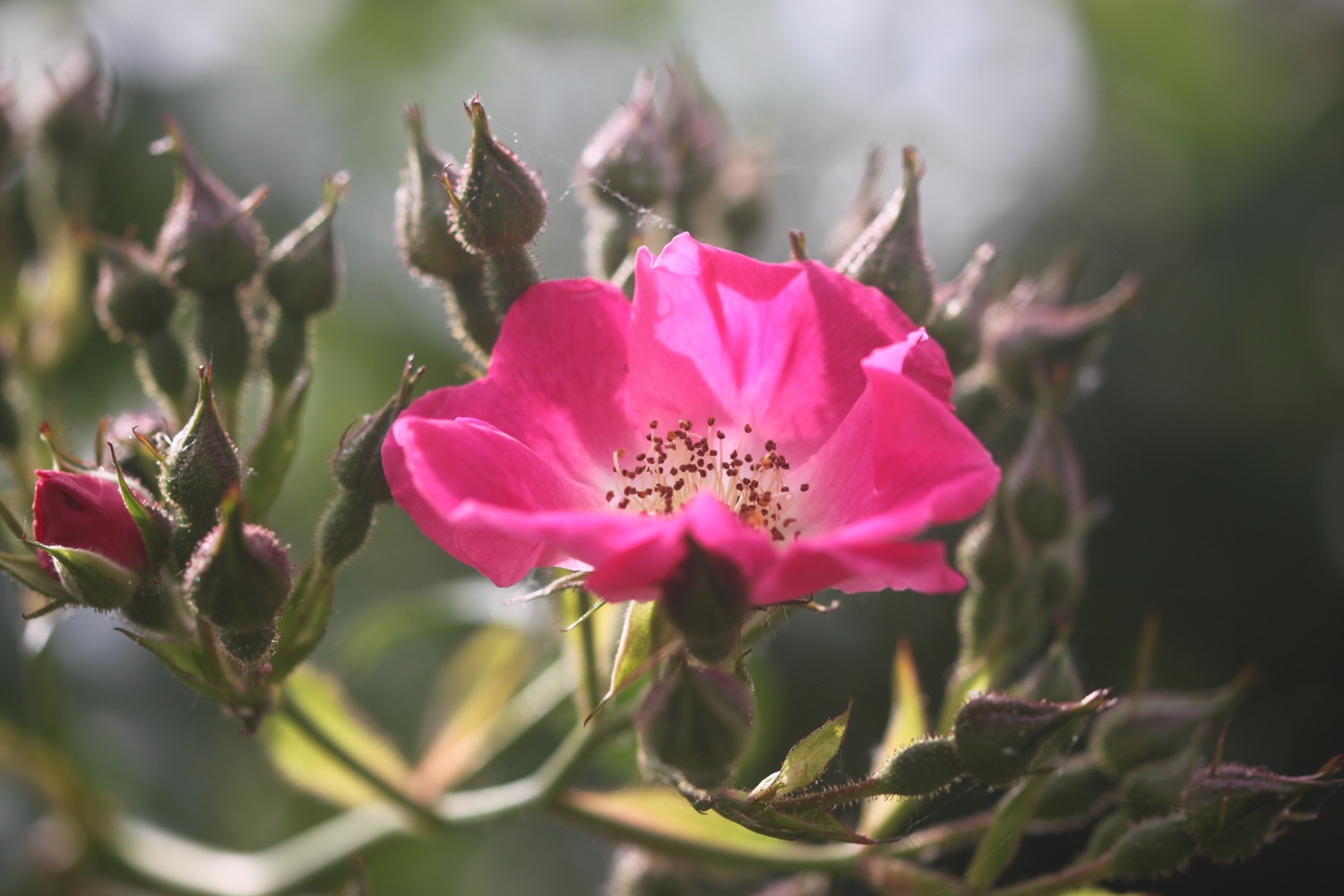
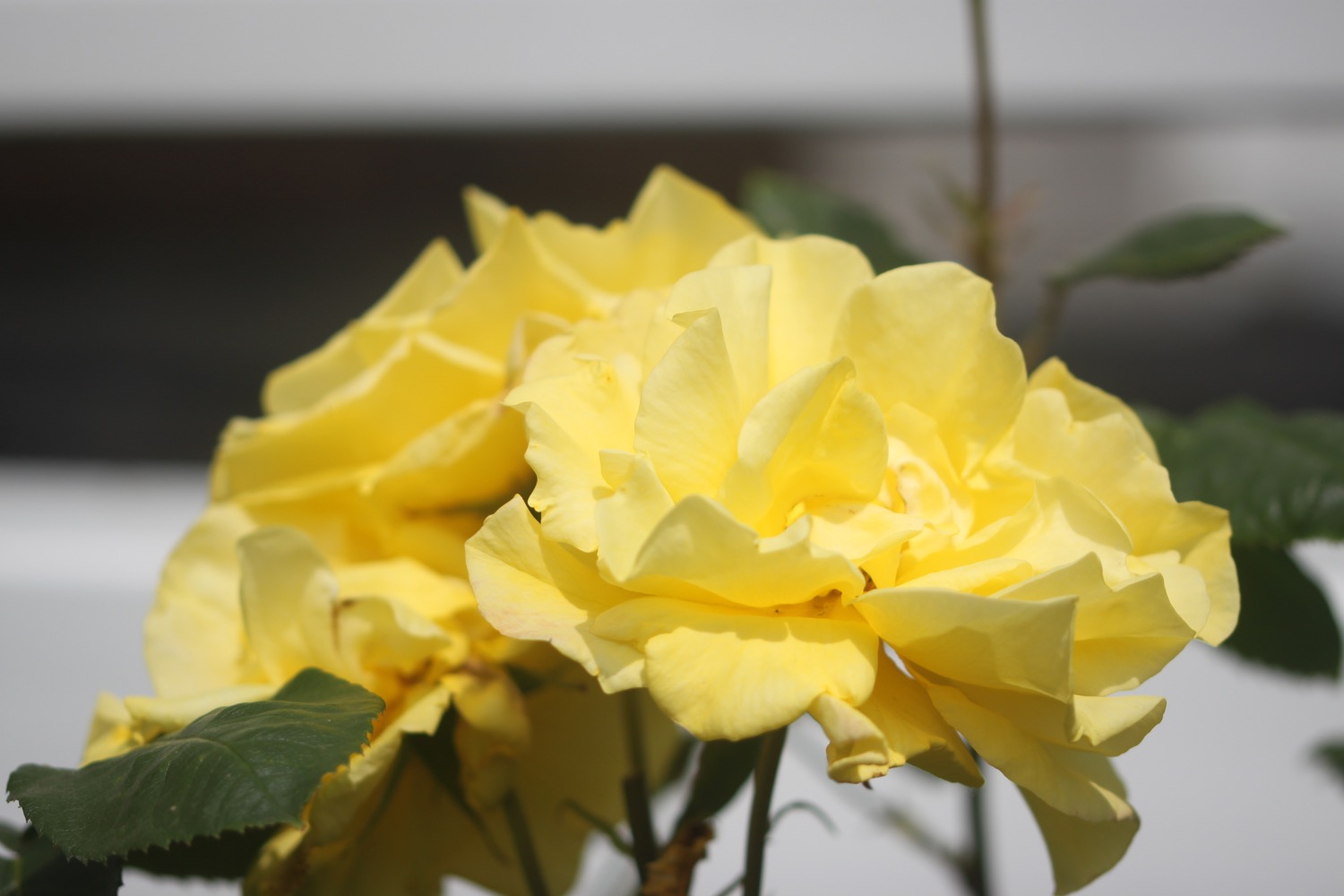
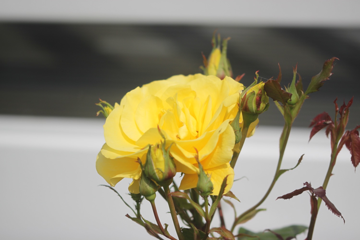
roses
hydrangea
foxglove
red campion
red valerian
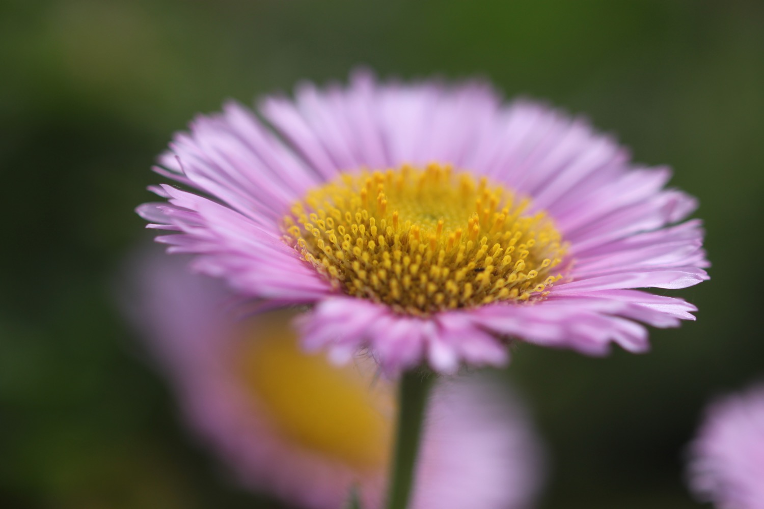
mexican fleabane
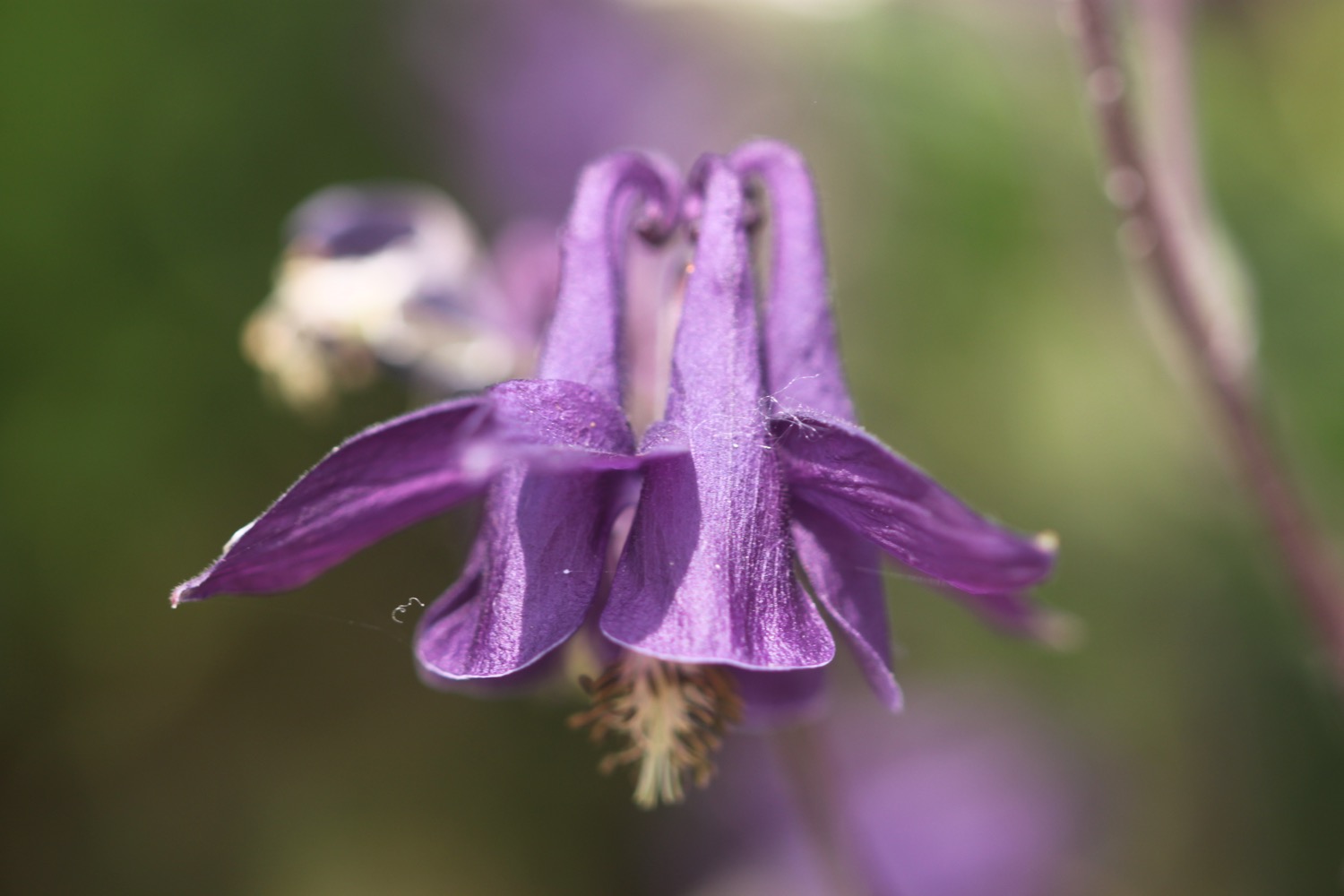
aqualegia
common spotted orchid
poppy
fuchsia
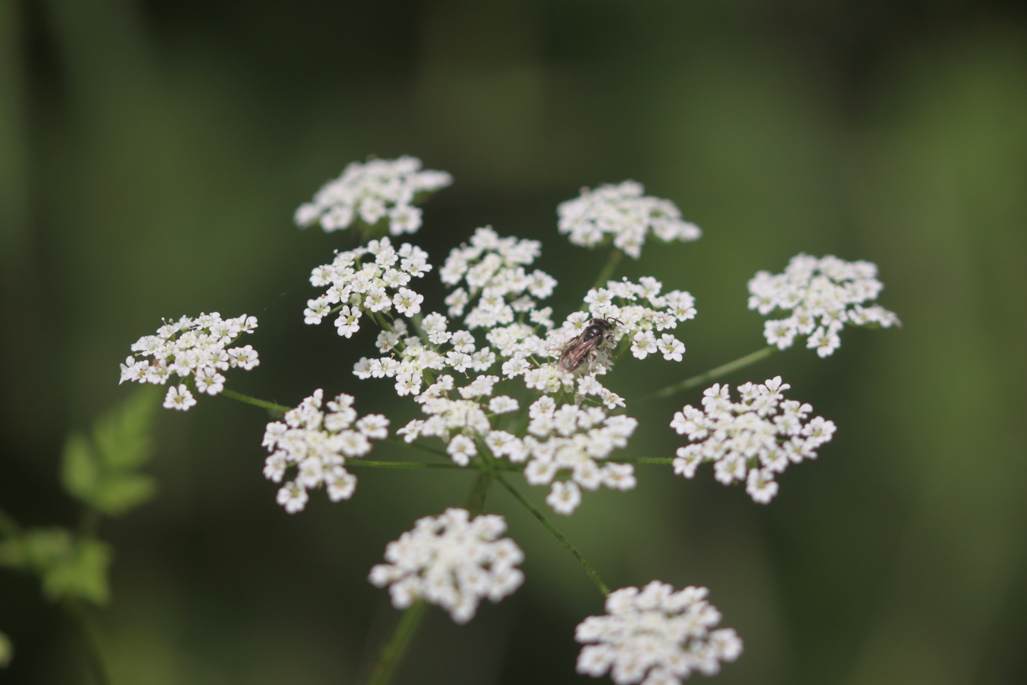
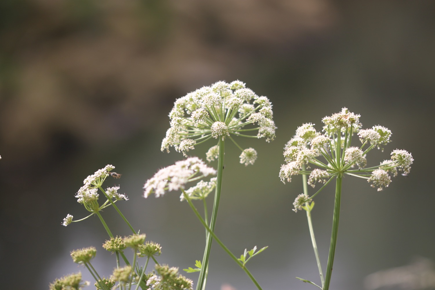
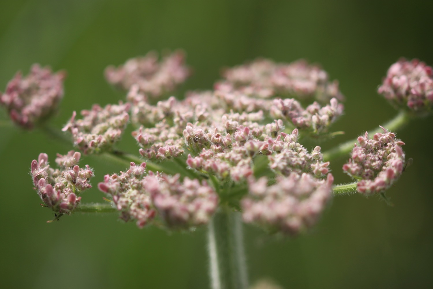
wild carrot
yellow rattle
ribwort plantain
bird’s-foot trefoil

PODCAST
The podcast of today's walk is now available. You can subscribe via Apple Podcasts or listen using the player below.

MARKS OUT OF TEN?
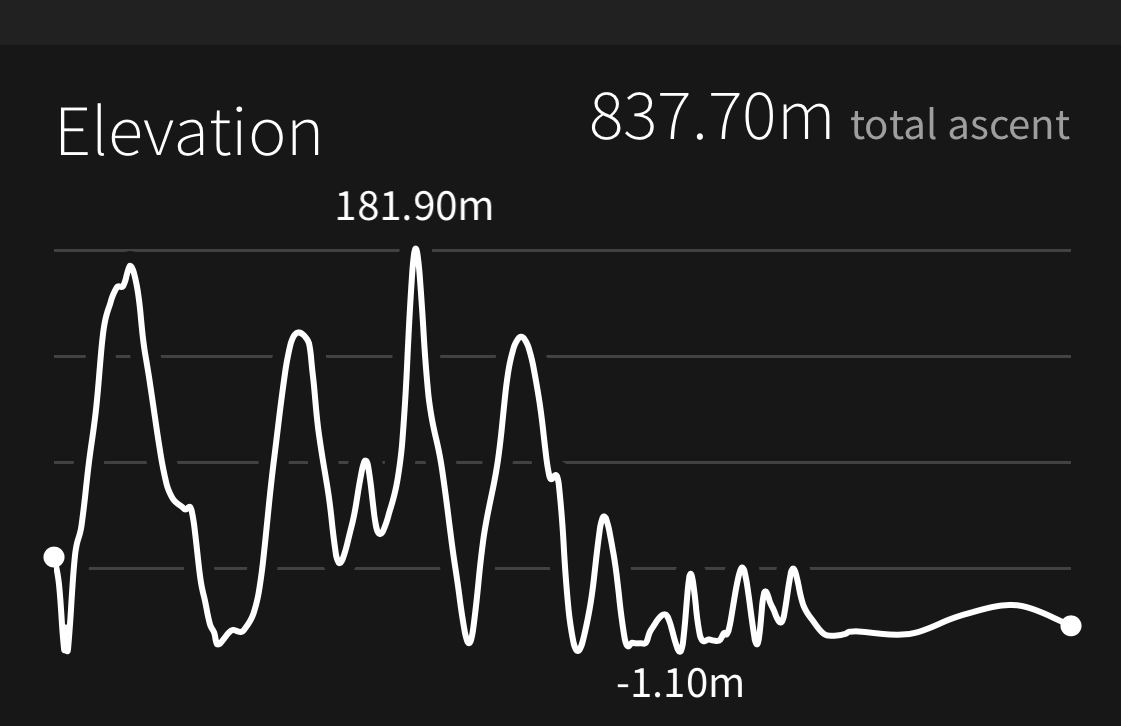
According to my phone I've walked 11.7 miles which amounts to 30001 steps. It has taken me 5 and a quarter hours. The weather has been lovely and warm and I’ve been walking on one of my favourite stretches of the coast. Ten out of ten!
WALK DETAILS

MAP
common spotted orchid
mary anning
happyness
west bay
beach collection