portloe to portscatho
SOUTH WEST COAST PATH
saturday, 24TH SEPTEMBER 2022
The weather forecast for today seems to be pretty good considering that we are now well and truly into autumn territory. There’s a northerly wind blowing so it’s not going to be particularly warm but I shouldn’t get much in the way of rain.

Falmouth low tide 11:39
Falmouth high tide 17:29

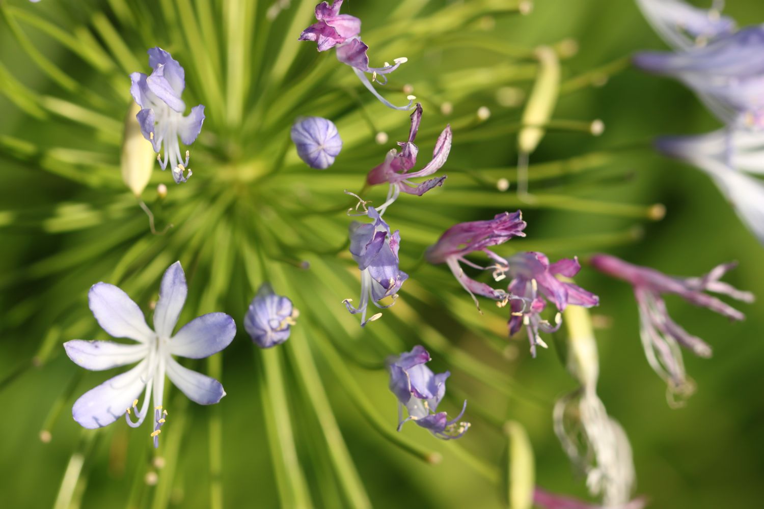
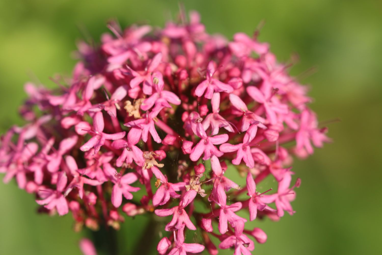
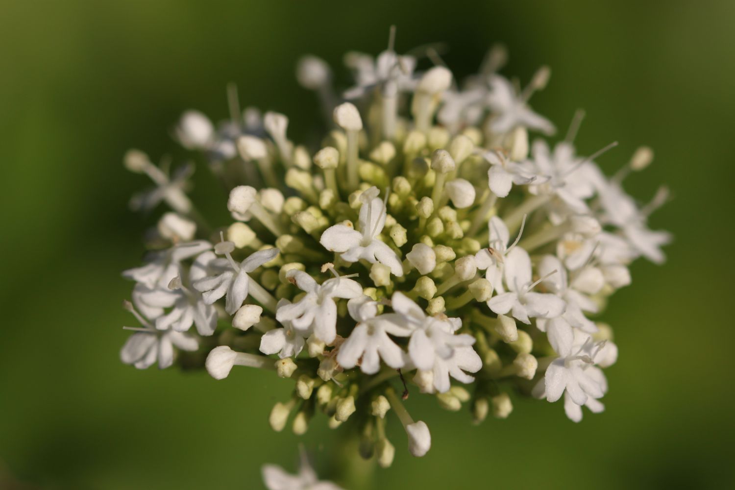
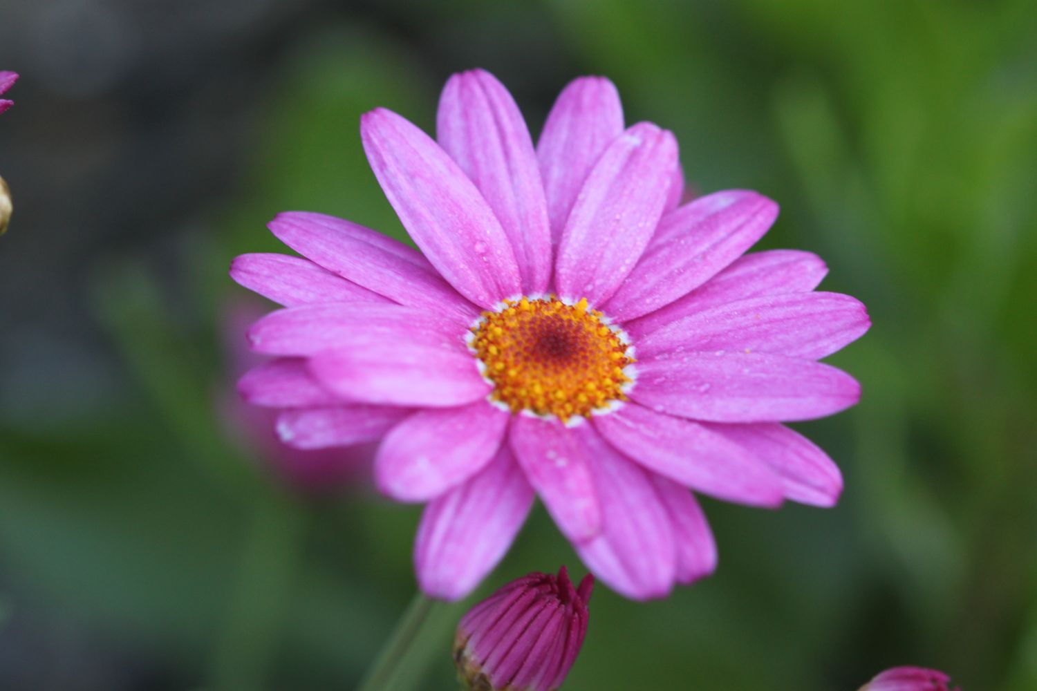
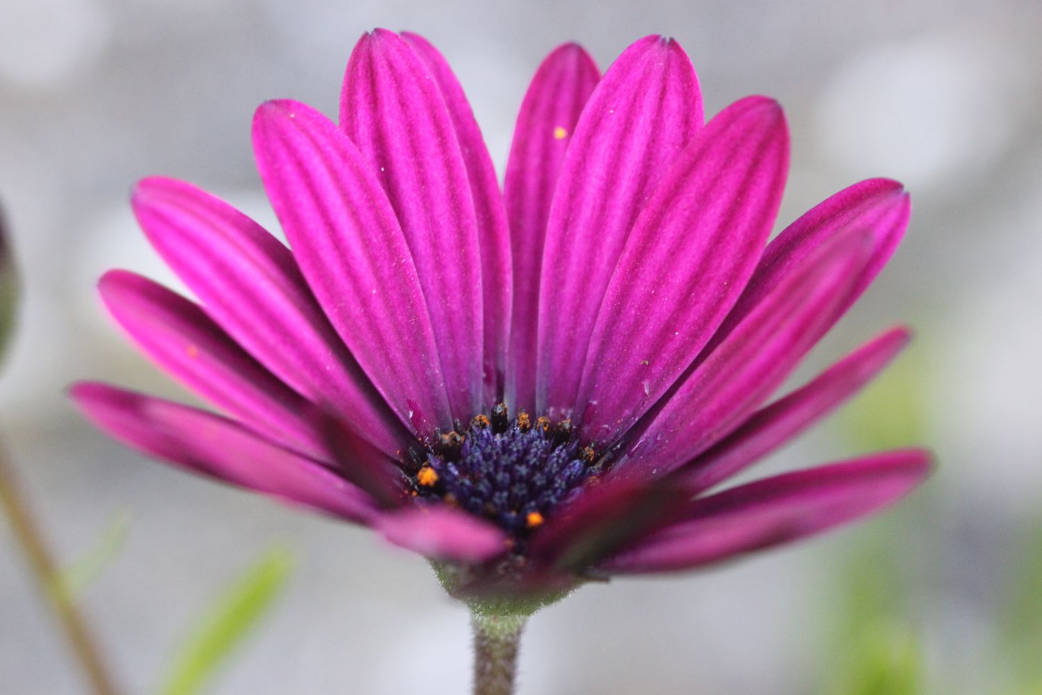
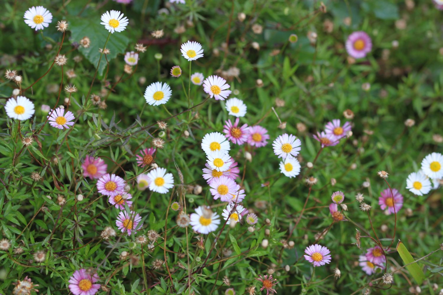
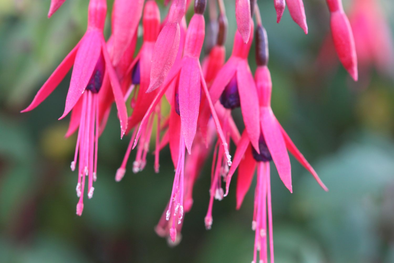
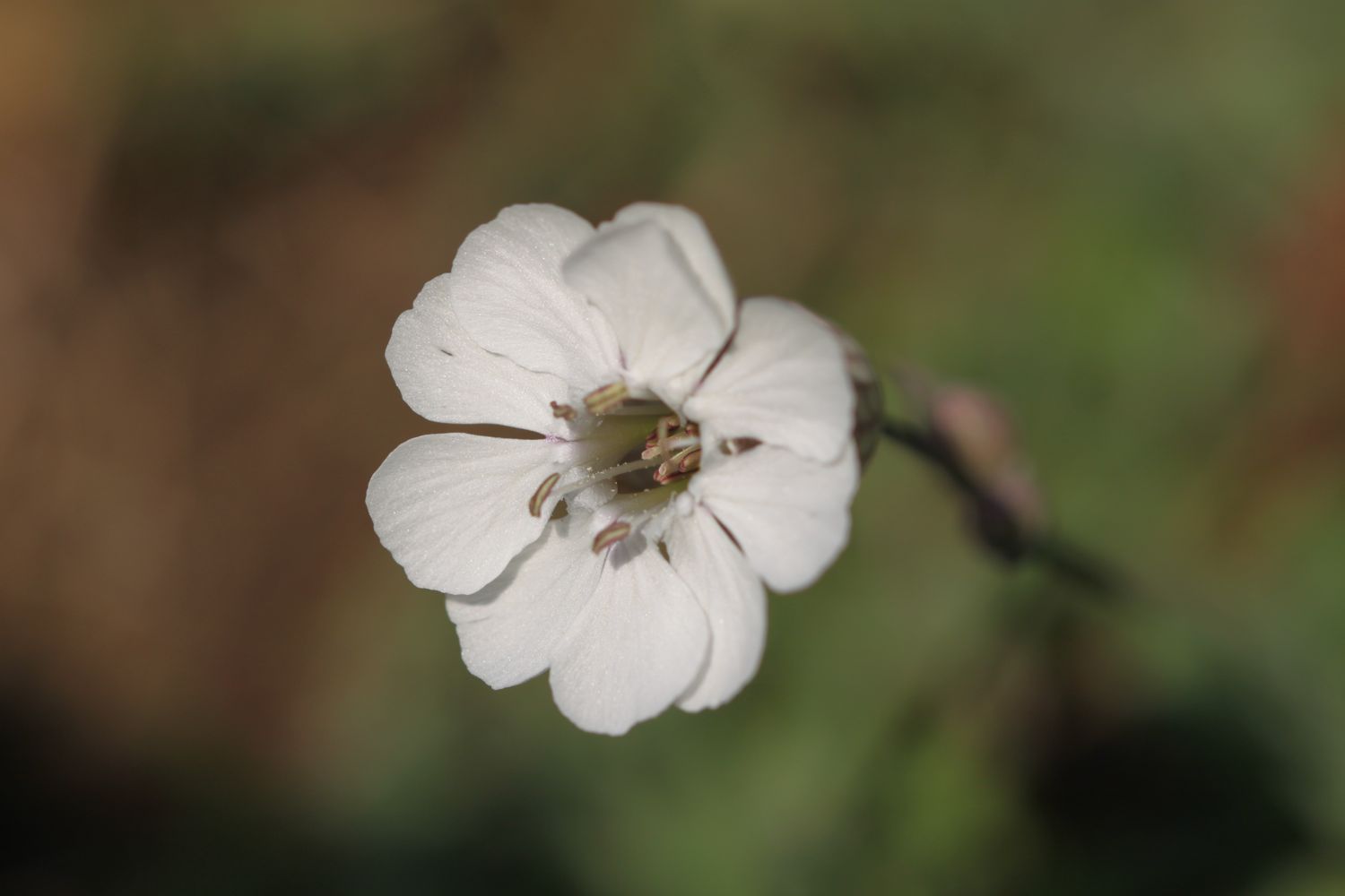
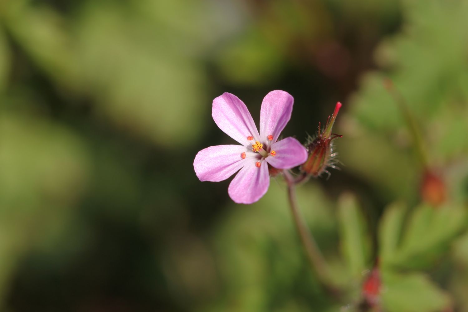
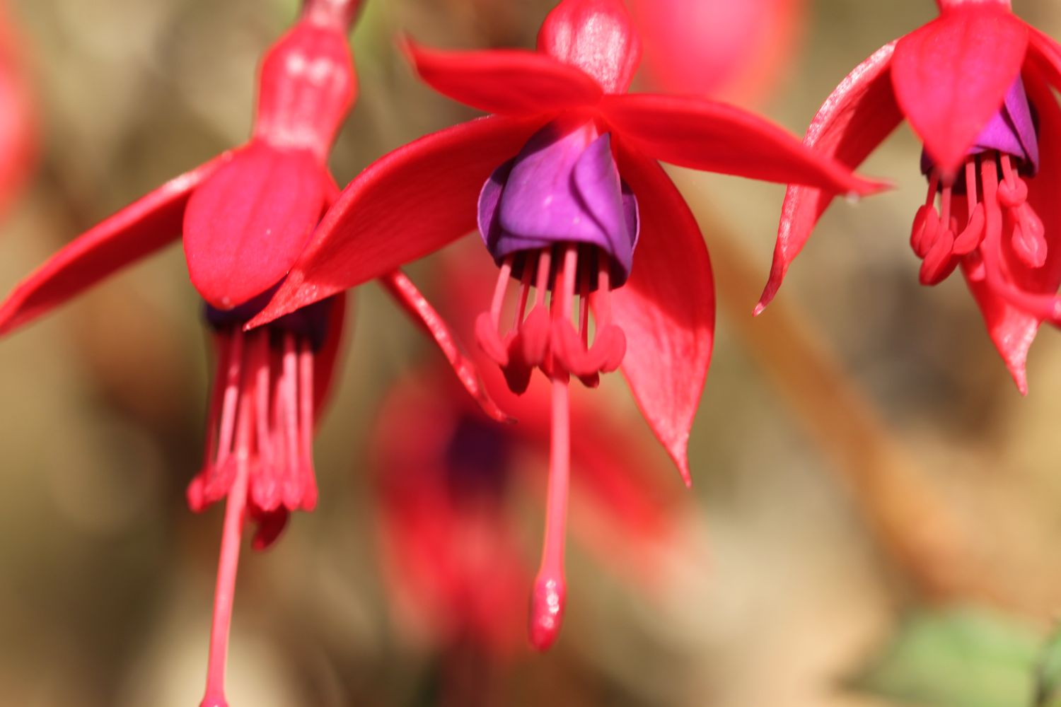
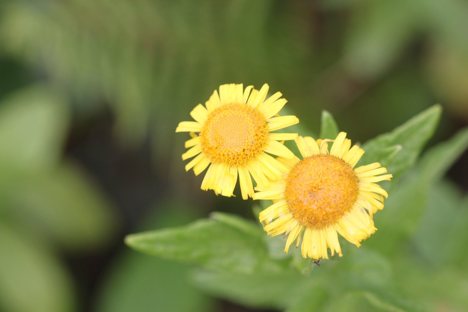
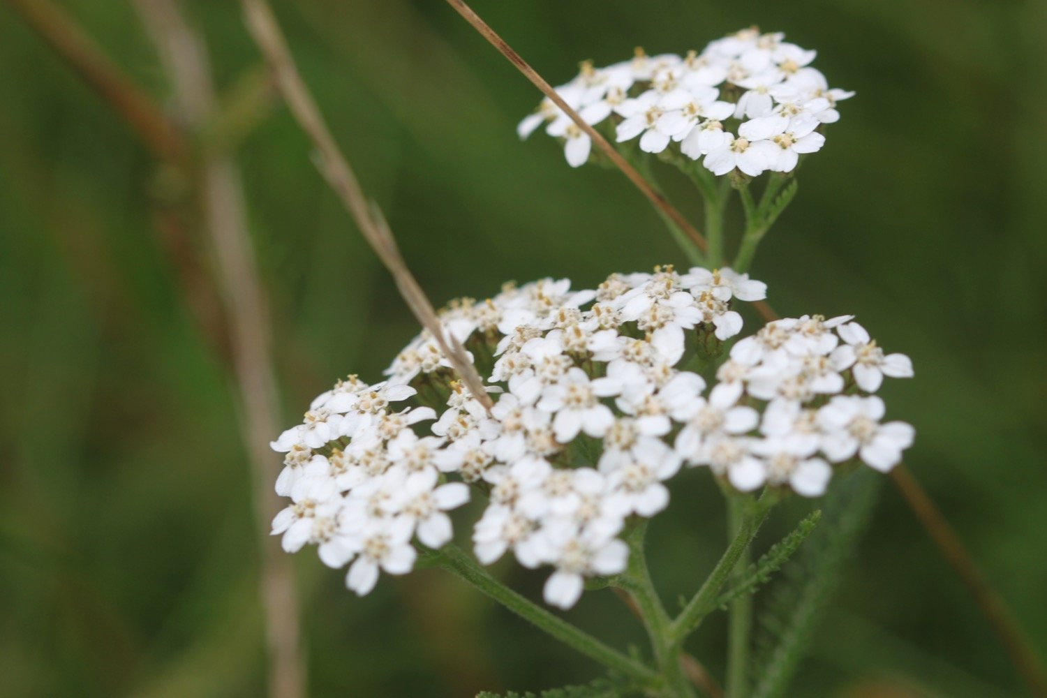
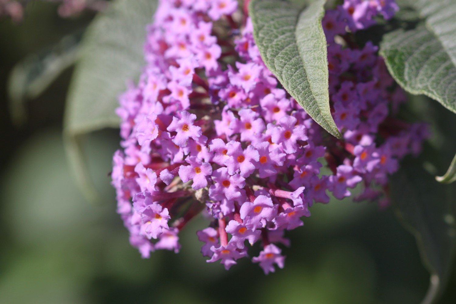
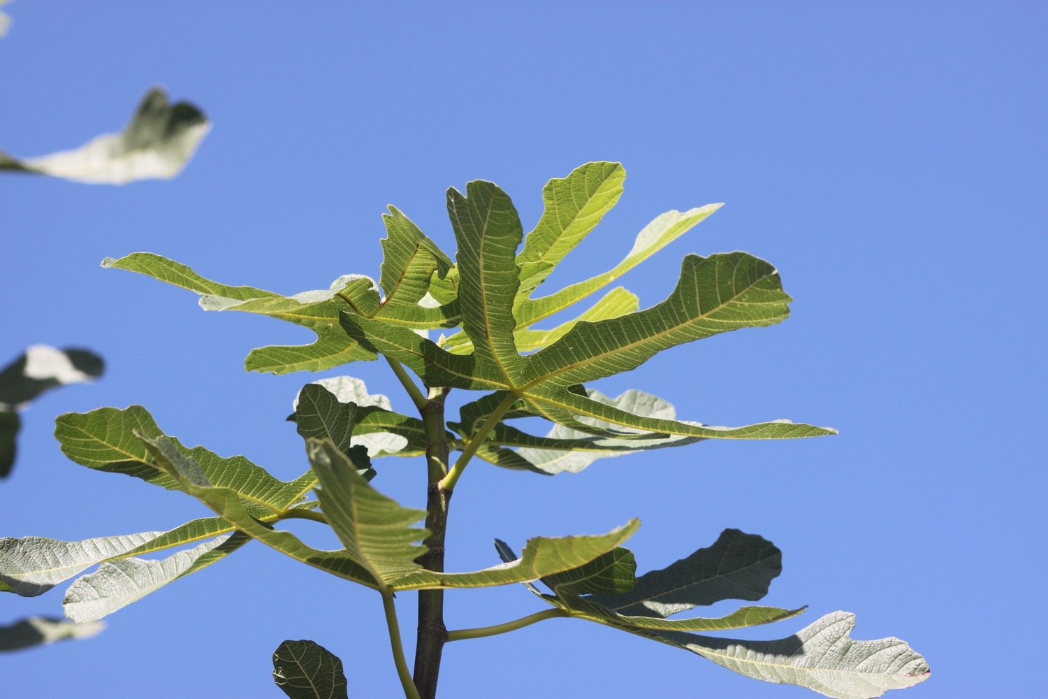
I start the day at the car park high above Portloe and wander down the road, photographing the flowers as I go.
portloe
portloe
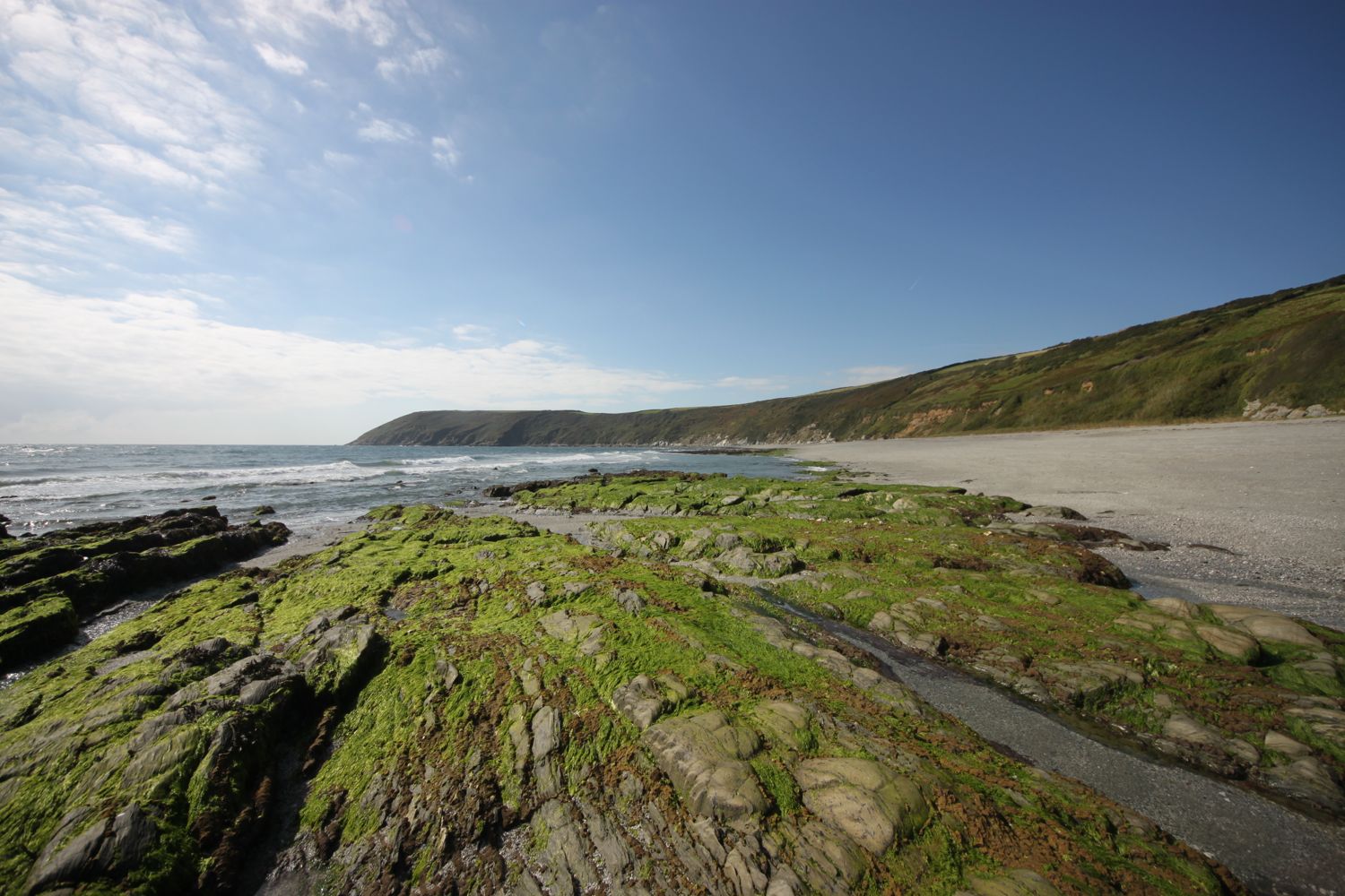
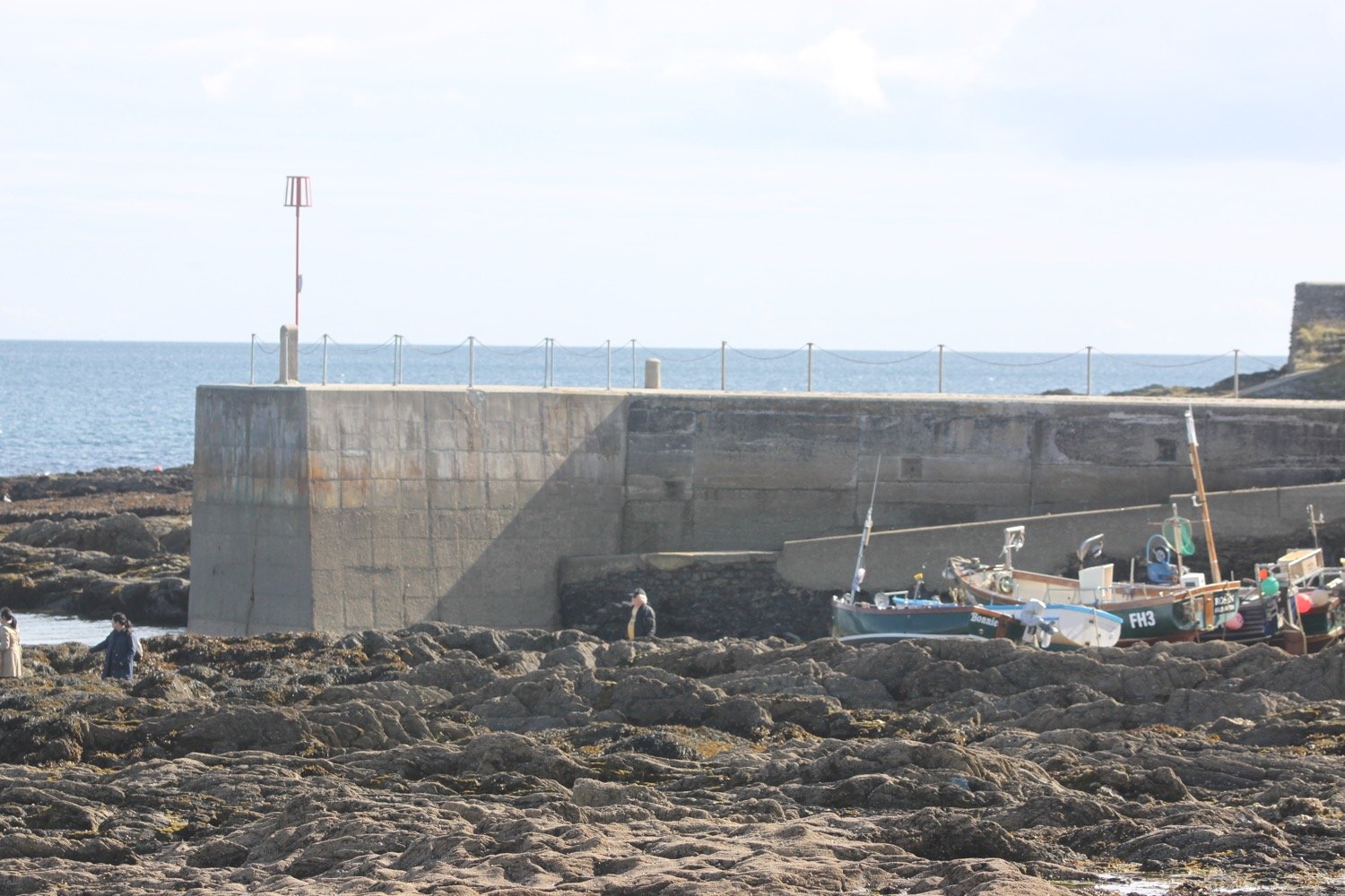
I reach the tiny beach and fishing harbour at the bottom of Portloe after passing the charming granite cottages on the way down and then the Lugger Hotel (@TheLuggerHotel).
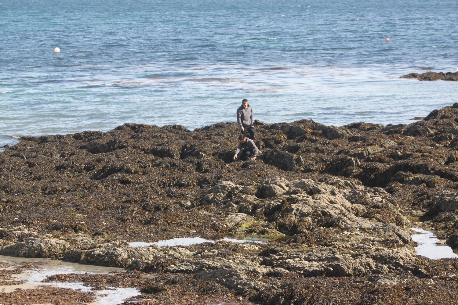
I spend way too long enjoying the harbour before setting off on the gorse and bracken covered cliffs out of Portloe. I have fine views back across Portloe.
view over portloe
view over portloe
On leaving Portloe, I’m immediately greeted by the sound of singing chiffchaffs who have been silent all summer but for some reason strike up their song again in September. Robins are also singing away.
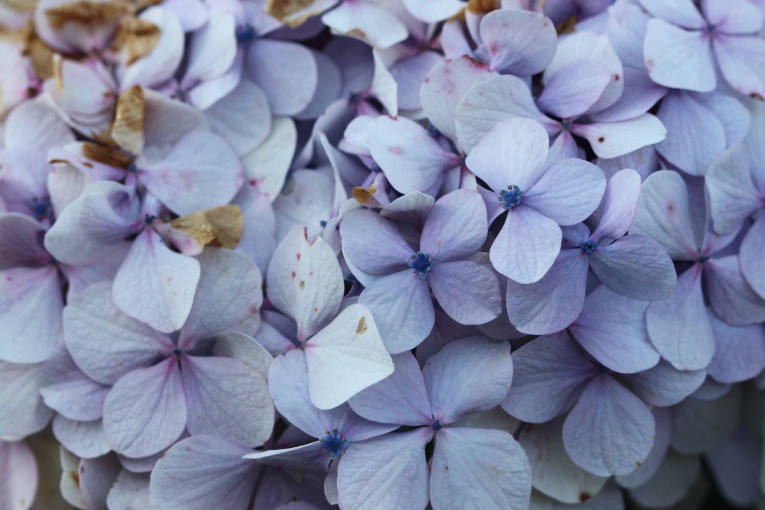
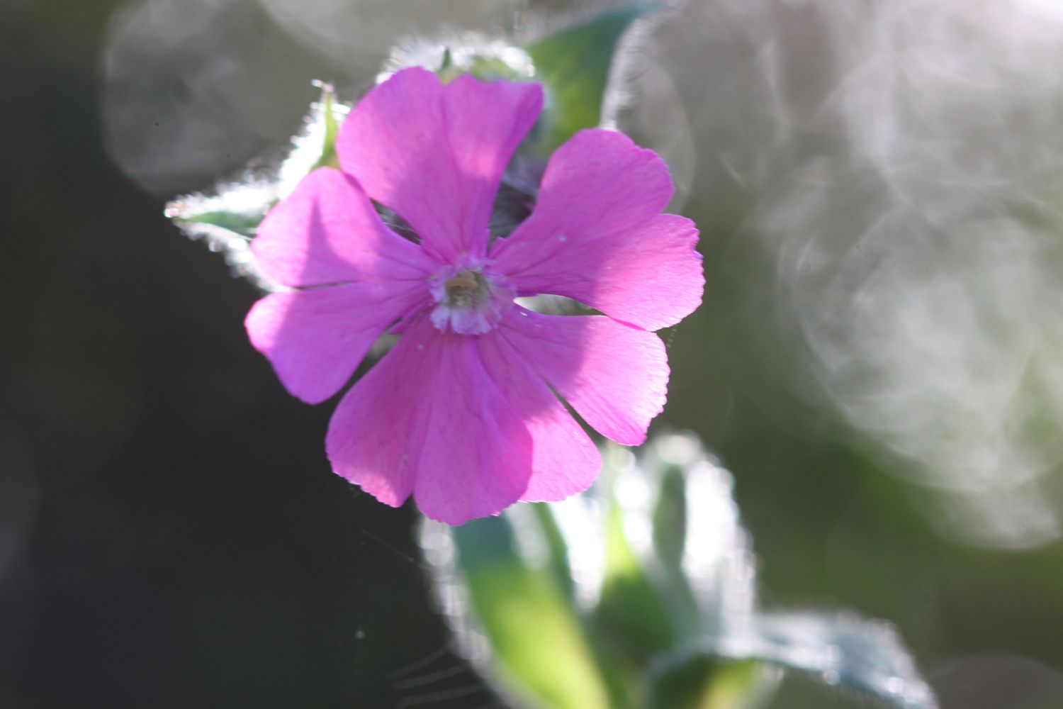
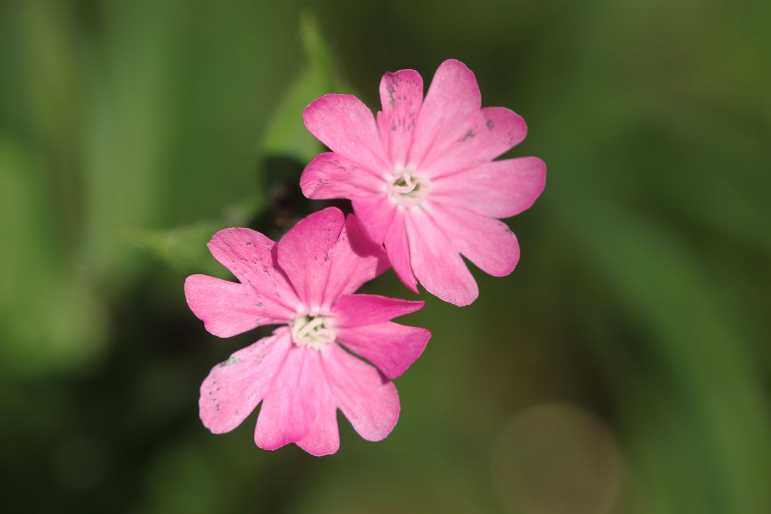
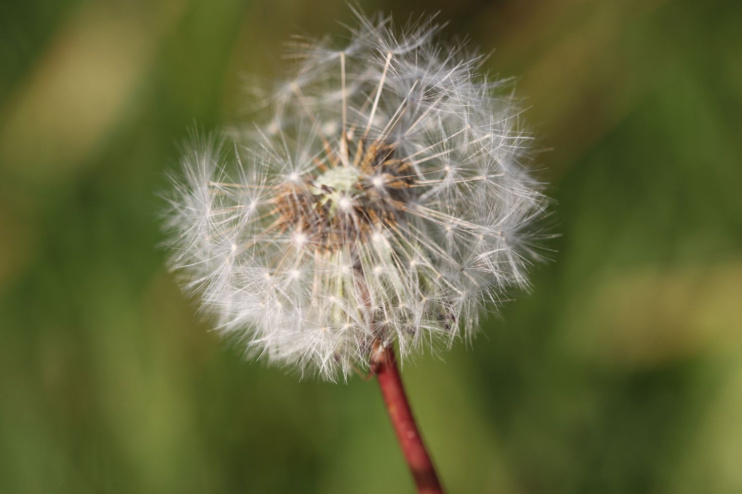
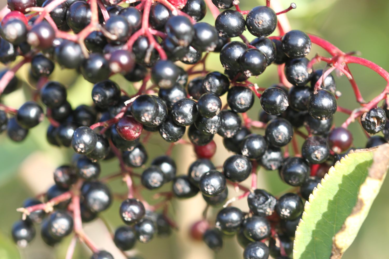
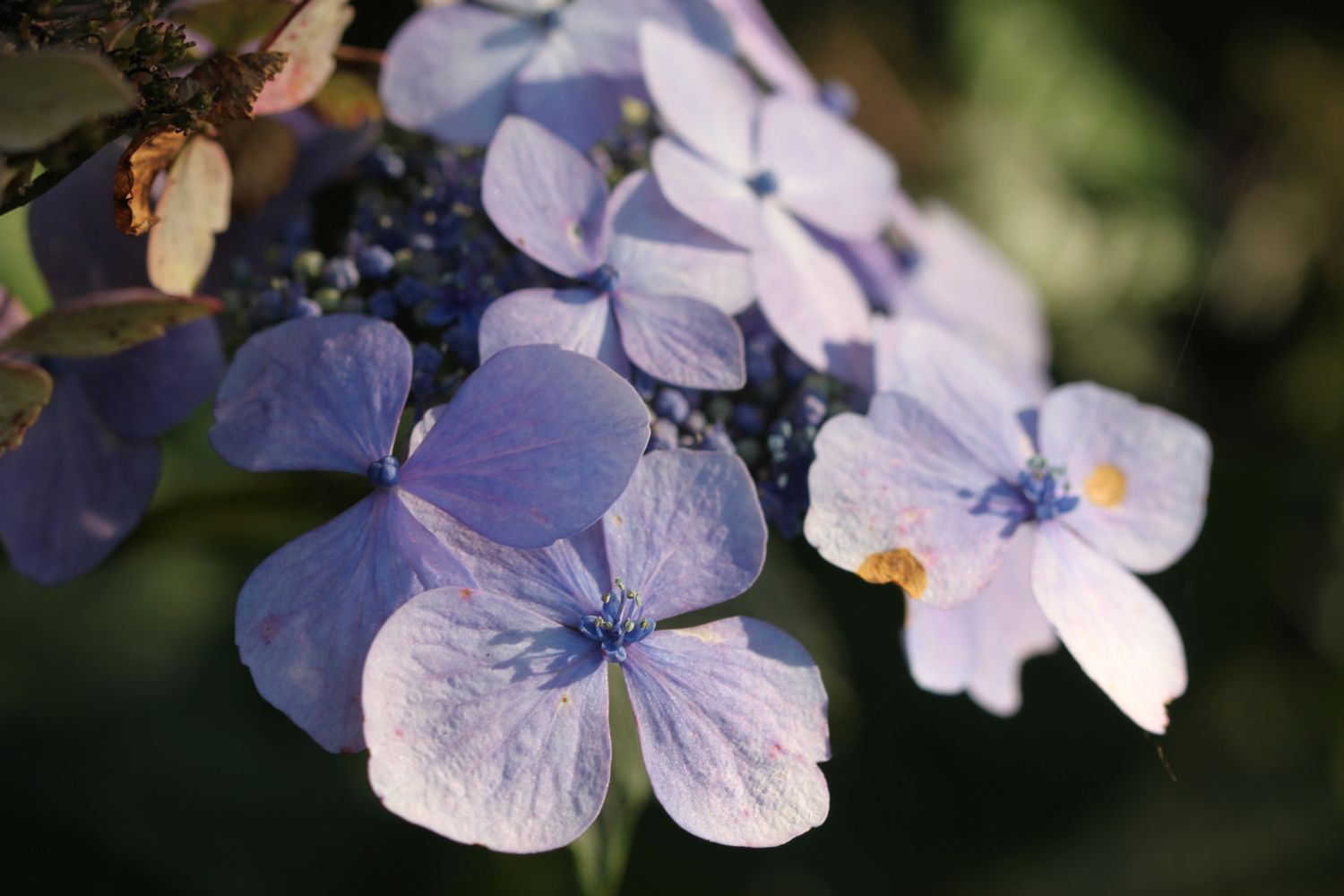
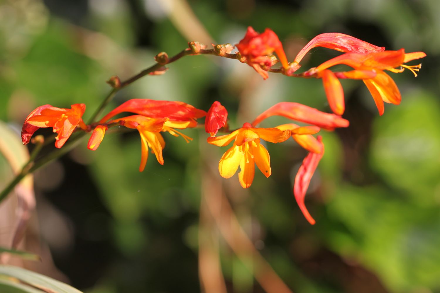
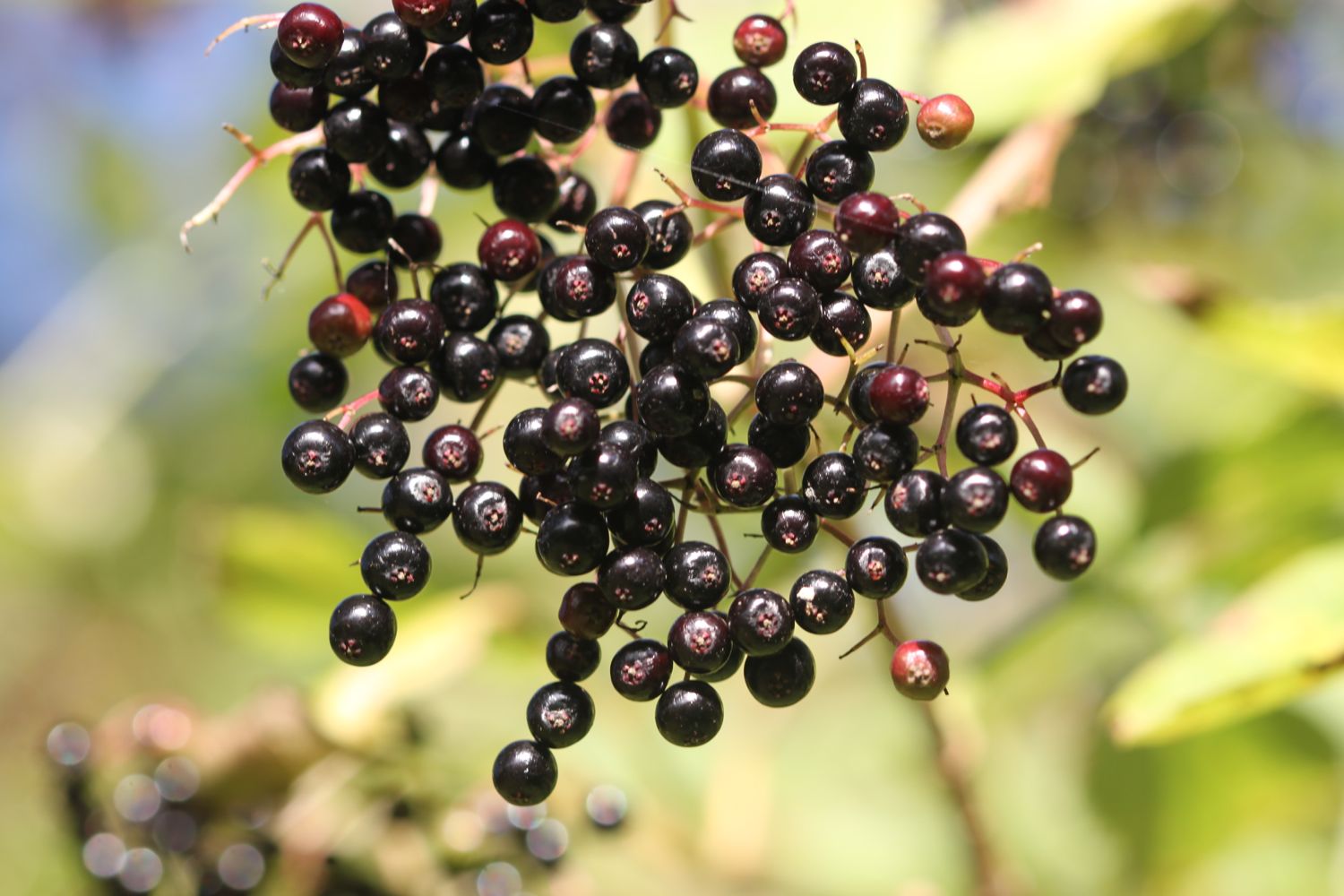
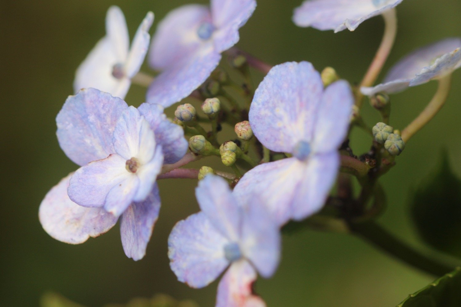
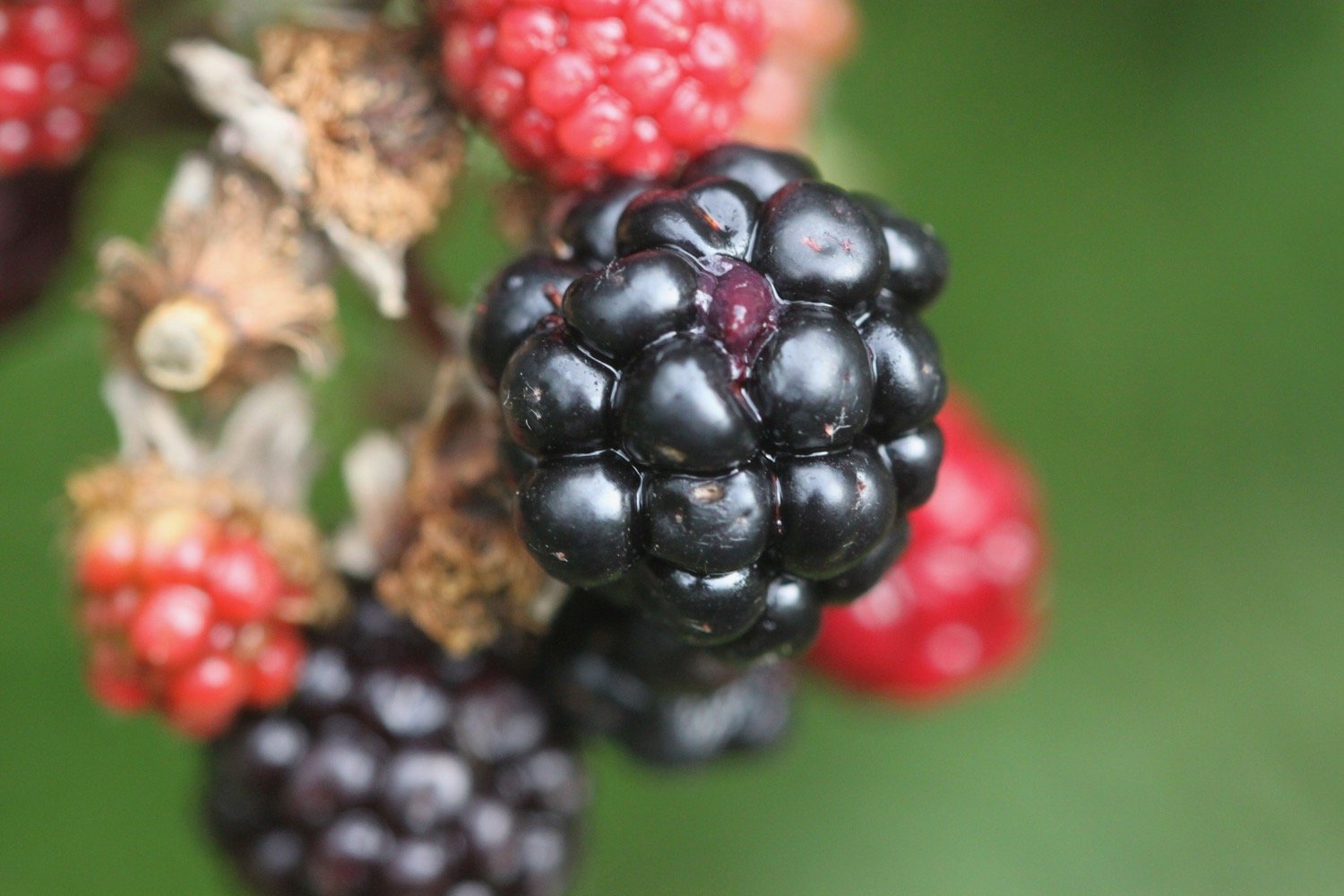
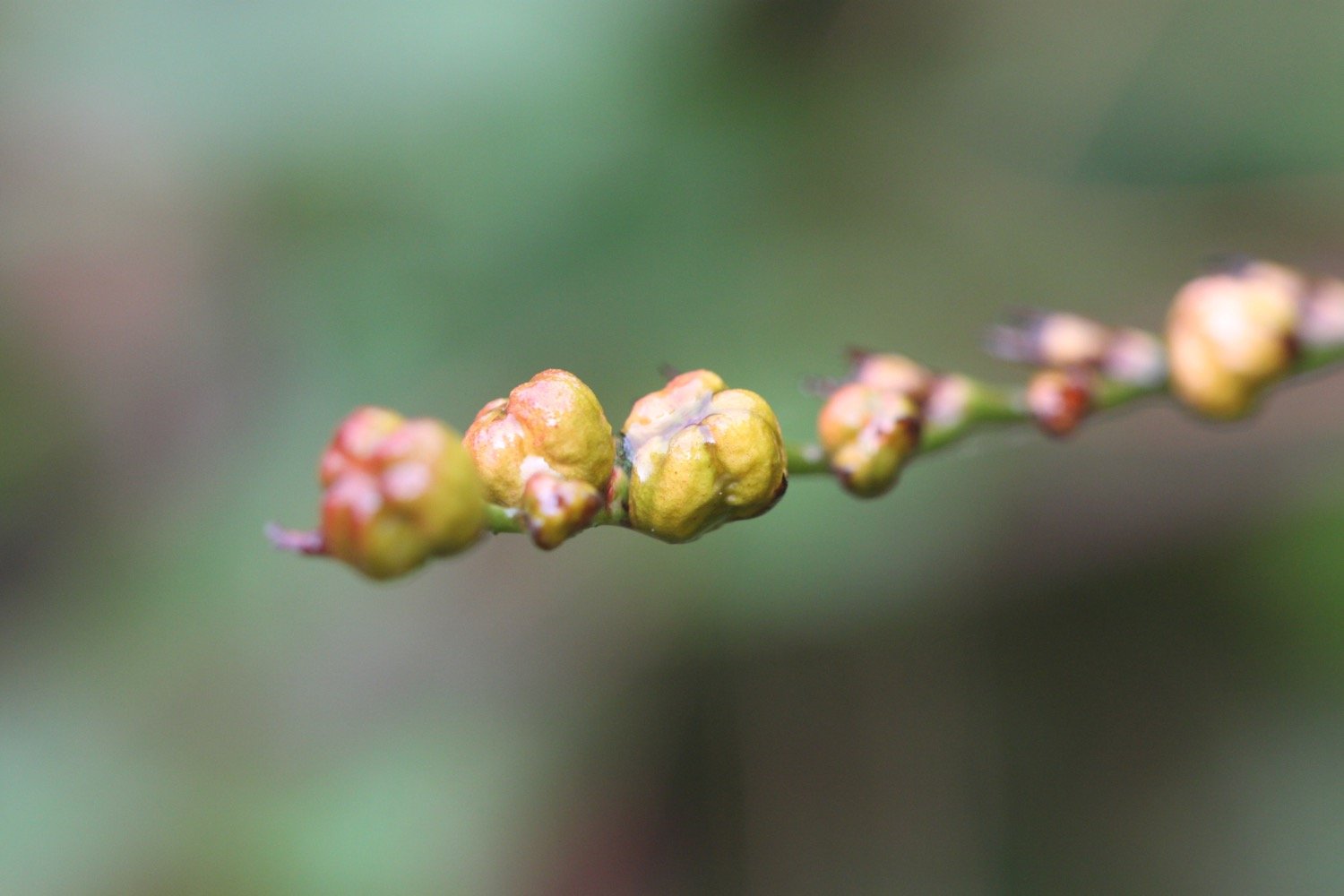
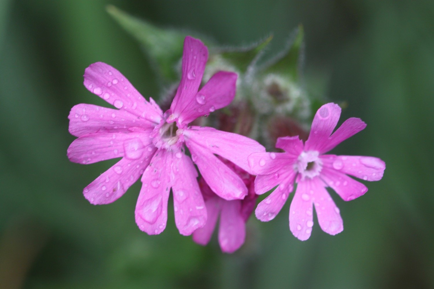
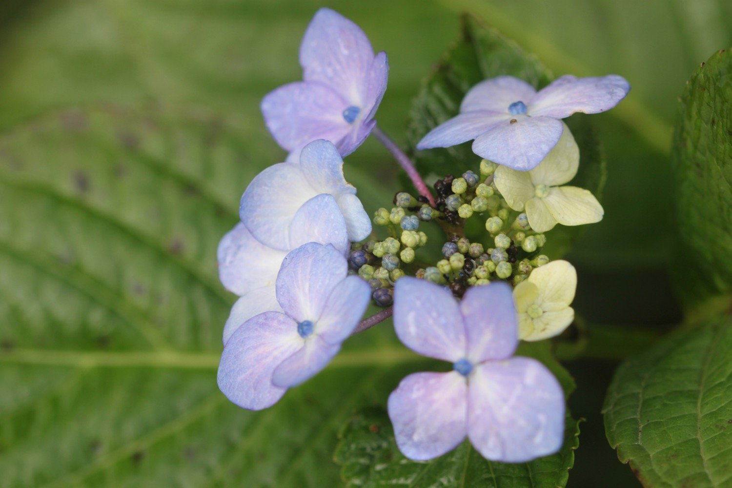
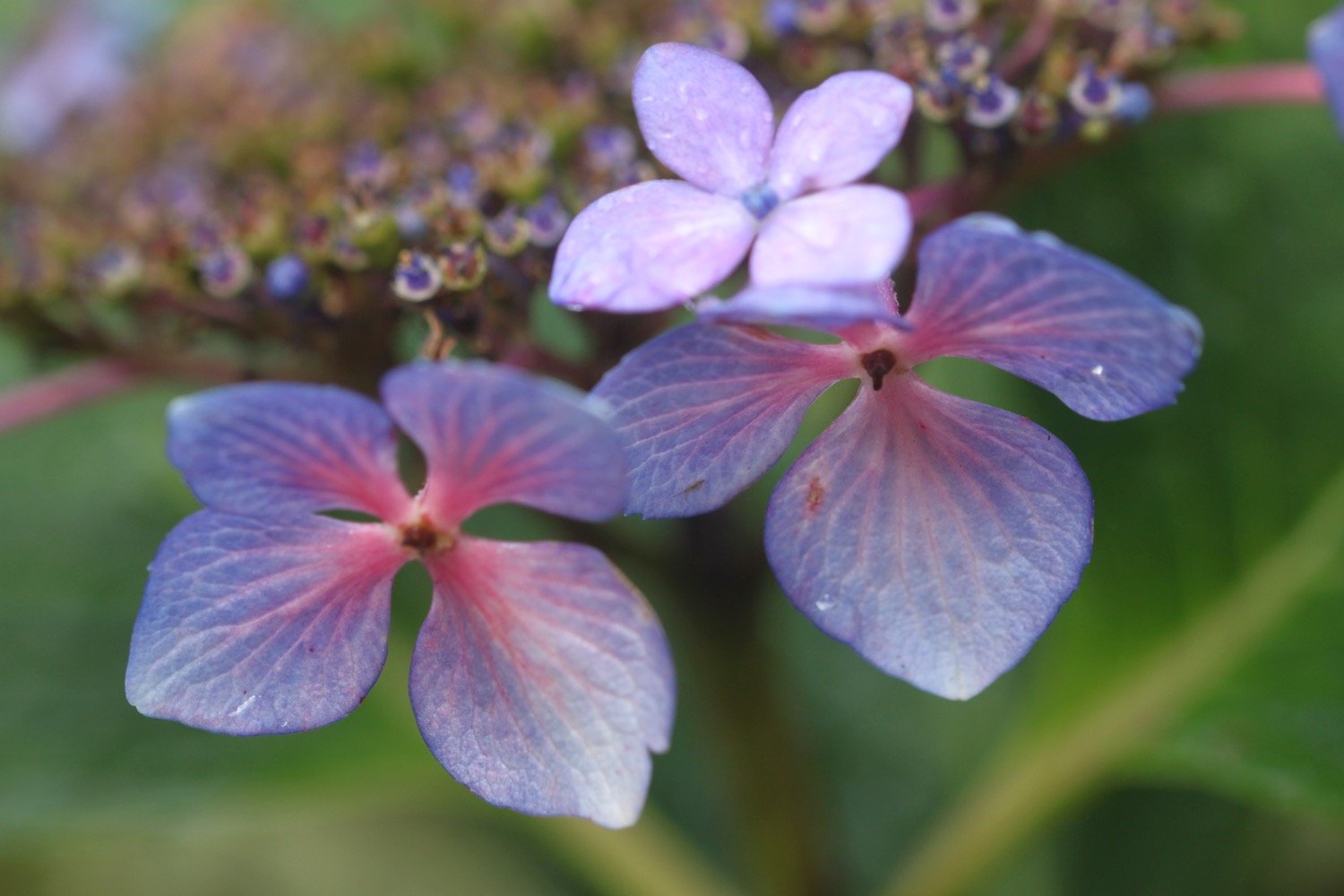
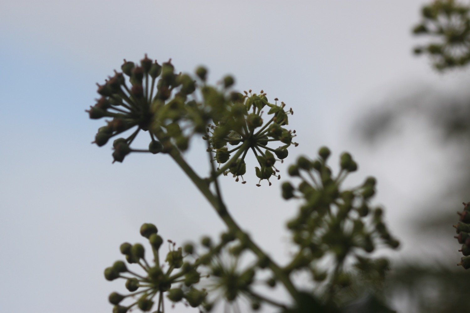
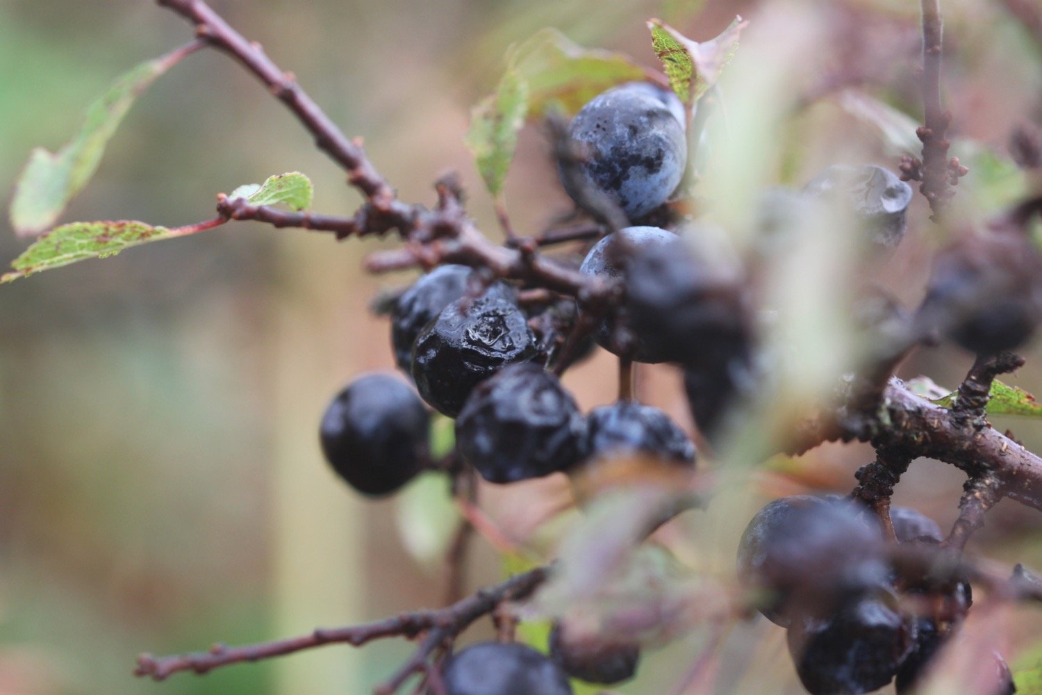
The wild flowers and berries, even this late in the season are looking lovely. At Broom Parc I come across hydrangeas, crocosmia going to seed and sloes.
I round Manare Point and reach the rocky shore at Parc Caragloose Cove. I enter some woodland and then climb a long, grassy slope before rounding Blouth Point.
I'm now above the bouldery Kiberick Cove and out to sea I can see Gull Rock.
kiberick cove
kiberick cove
I continue along the gorse covered slopes passing Horse Rock, Lemoria Rock and Haine's Rock to reach Nare Head.
nare head
A national trust sign warns me that the boardwalk in front of me is in a state of disrepair. It is indeed a bit of a mess but I take care and manage to cross it and survive.
warning
boardwalk
I come across a beetle ambling along the south west coast path but I’m useless with beetles so I have no idea what type it is.
beetle
I come across my first sheep of the day. In the past this walk has been smothered in sheep.
sheep
On Nare Head I come across a World War II bunker which was used to protect the port of Falmouth. Special effects systems, scattered strategically across the headland, were controlled from this bunker by four Royal Navy crewmen.
world war ii bunker
These effects were designed by British film studios to simulate lights from docks, railway tracks and stations. As enemy bombers approached, the bunker crew switched on the lights. Flying at night, the enemy aircrew were fooled into thinking they had spotted Falmouth. As the bombs were dropped, the bunker crew triggered fires and explosions to give the impression of successful bomb strikes.
bomb strikes on nare head
Next to the World War II bunker is an atomic early warning bunker, built in 1963. The bunker was designed as a survival unit in which three officers from the Royal Observer Corps could live for up to three weeks, following a nuclear attack, whilst monitoring radioactive fallout. Made of concrete it lies a metre below ground and measures five by three metres. It was closed in 1991 and has since been restored and equipped by the local Royal Observer Corps Association.
atomic early warning bunker
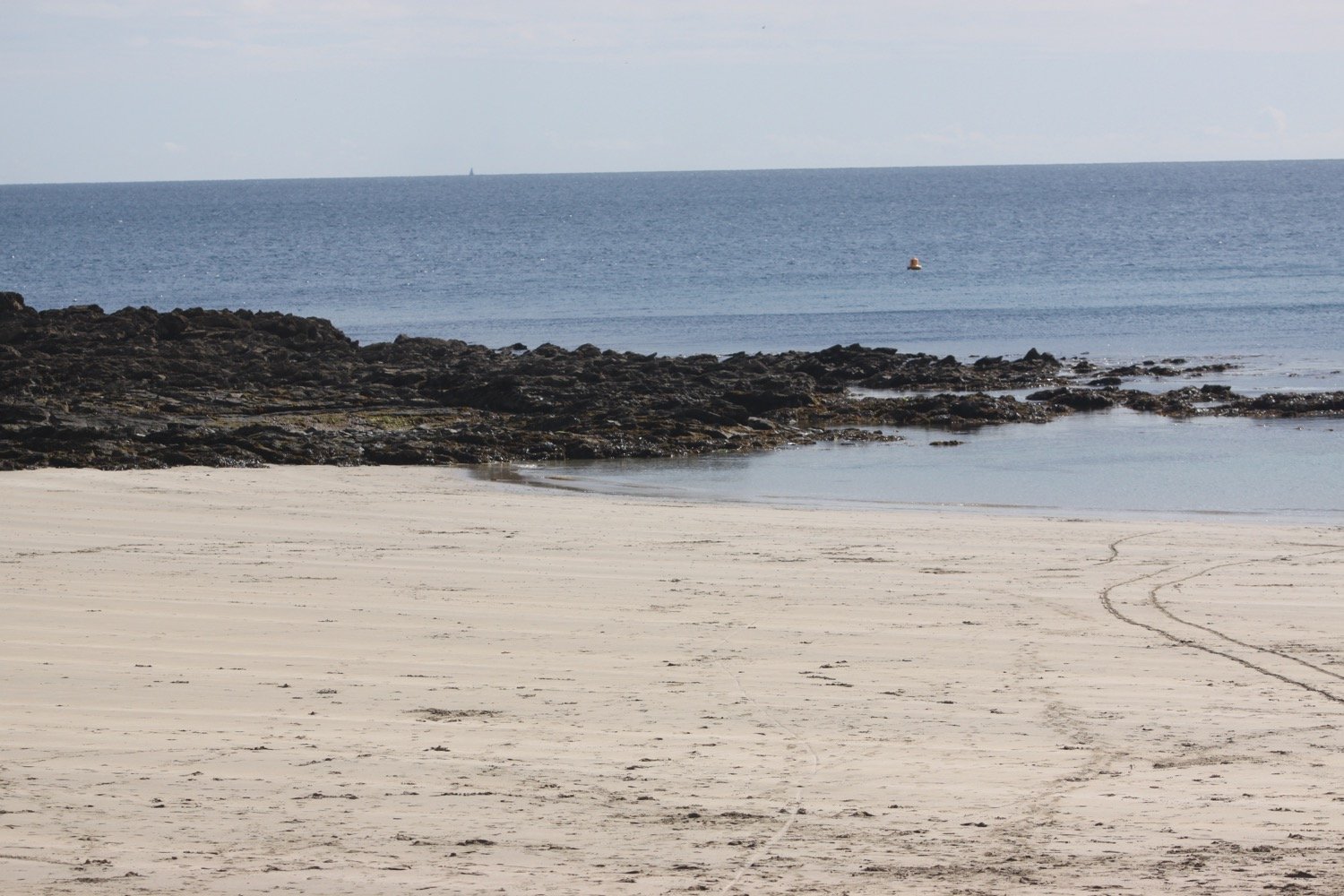
I now have magnificent views across Gerrans Bay towards Carne Beach and Pendower Beach.
gerrans bay
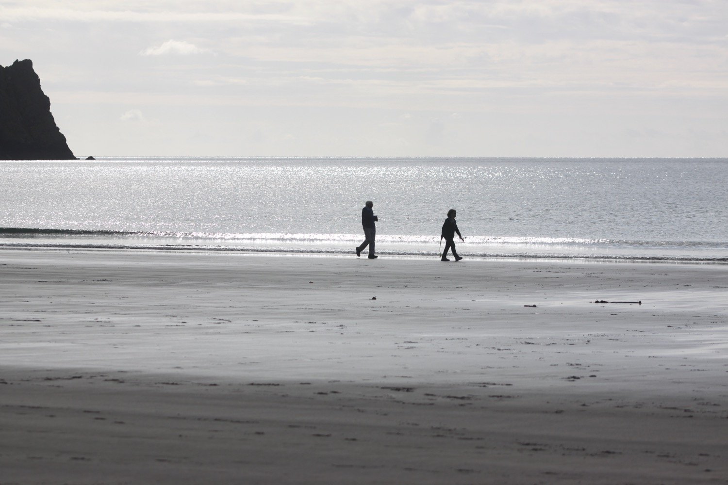
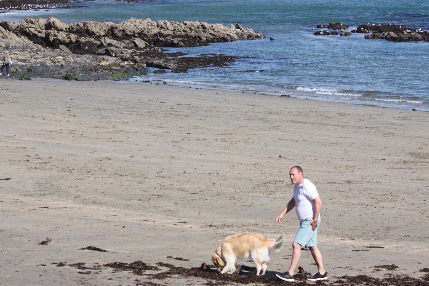
For the first time since leaving Portloe, I come across a couple of people walking their dog near to the bridge at Tregagles Hole.
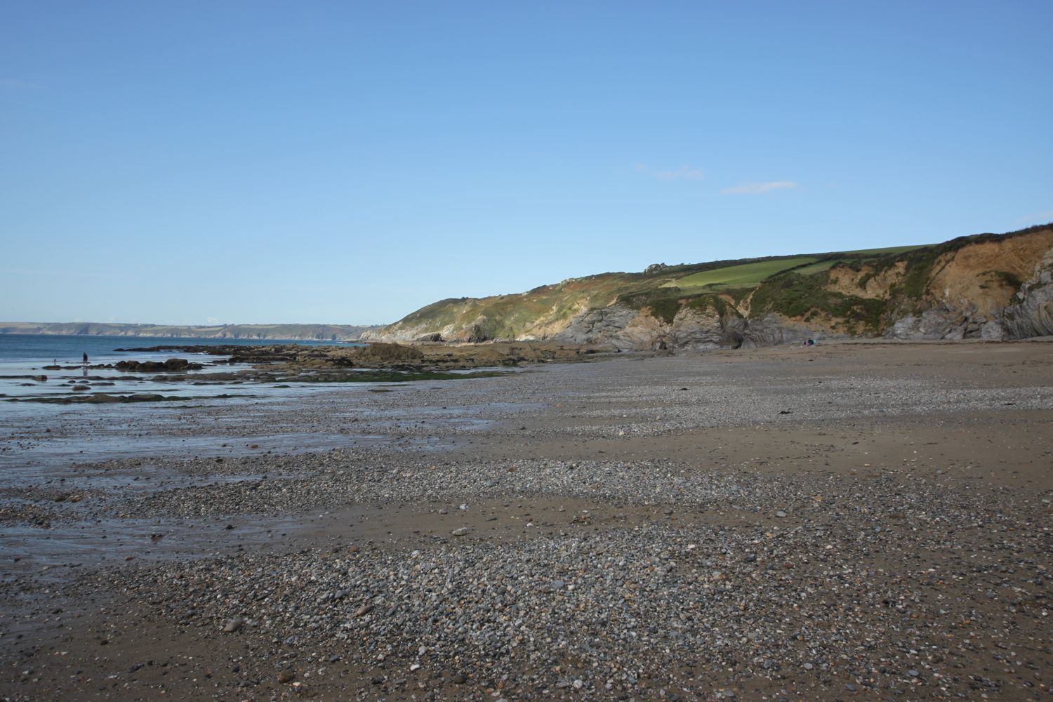
I pass Shannick Point, Malmanare Point and Pennarin Point and the views over Carne Beach and Pendower beach are lovely.
view over pendower beach
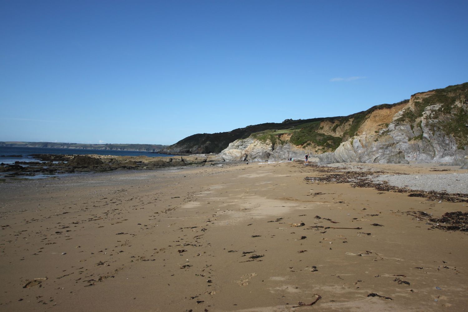
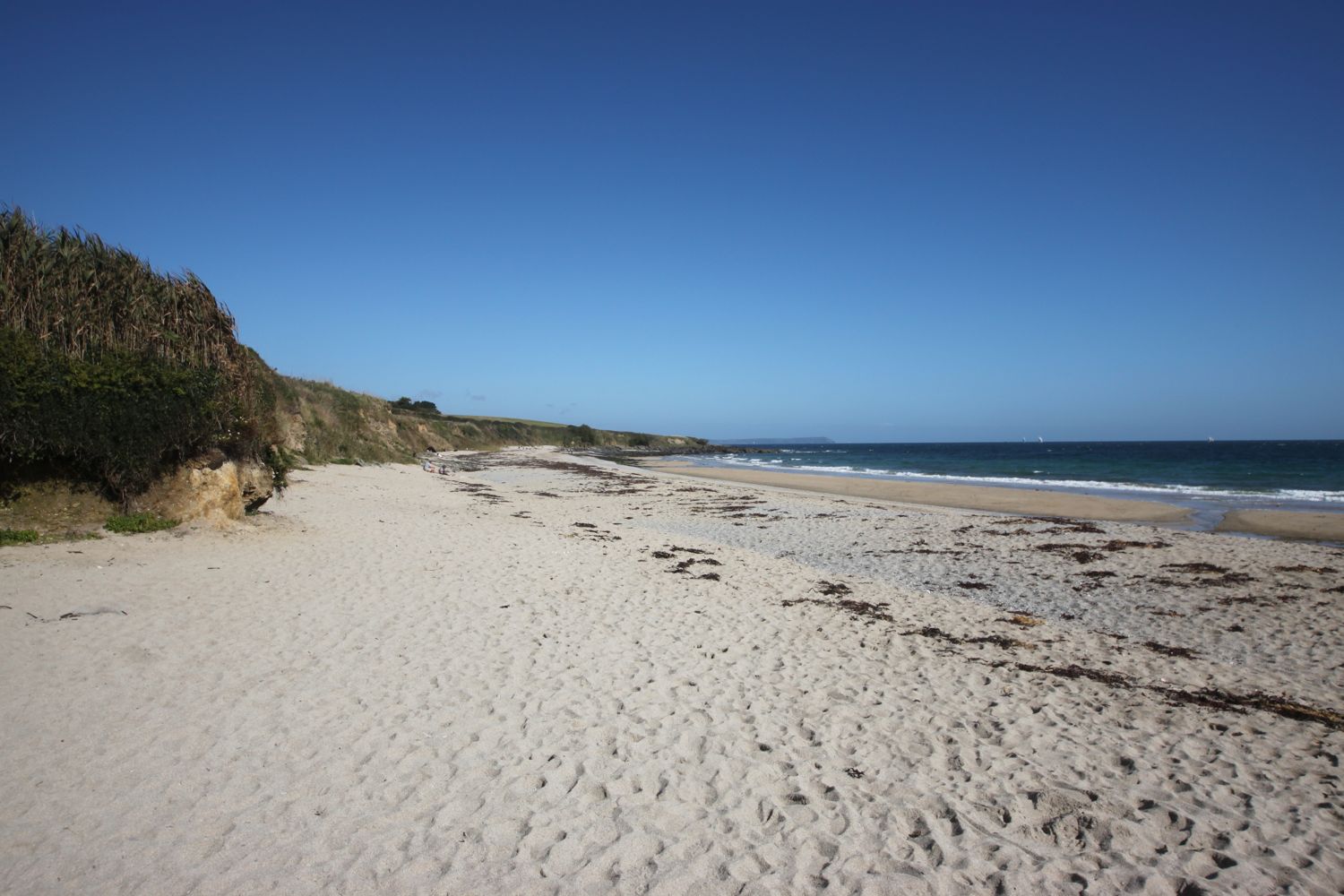
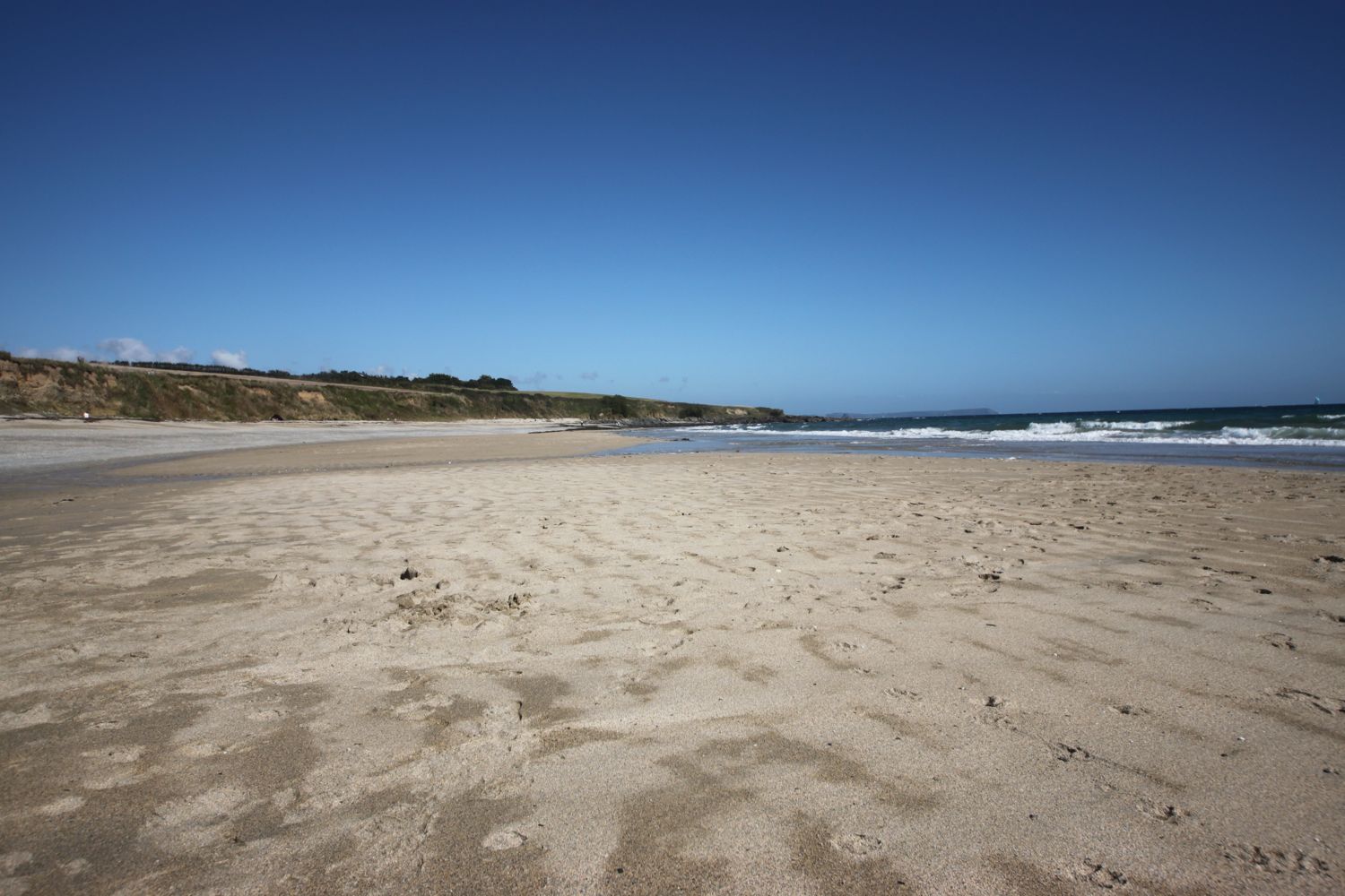
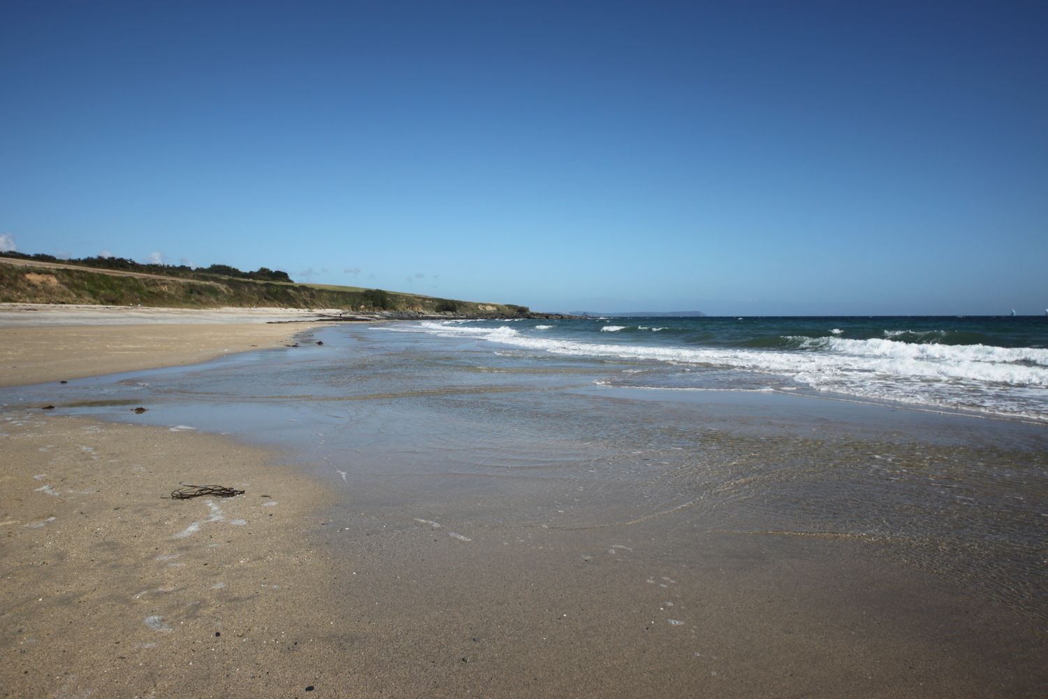
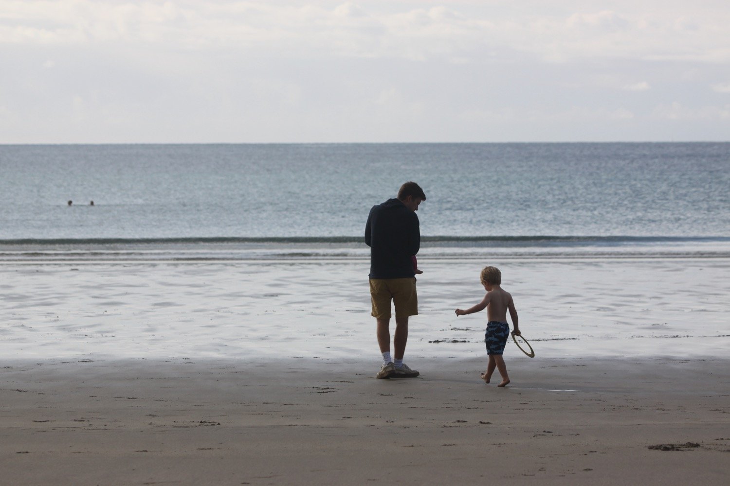
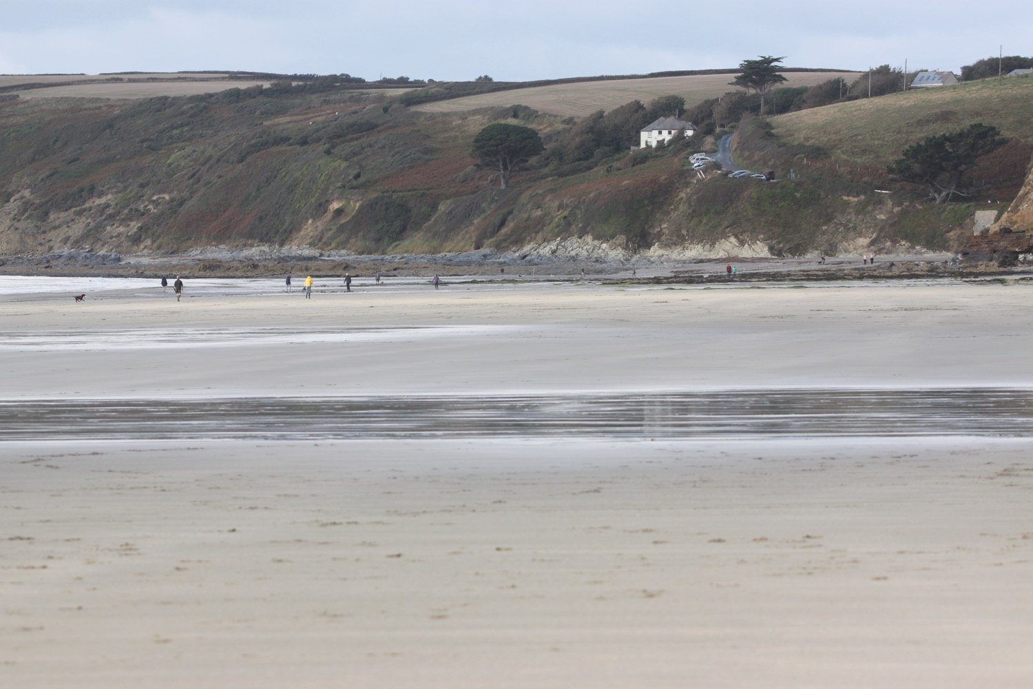
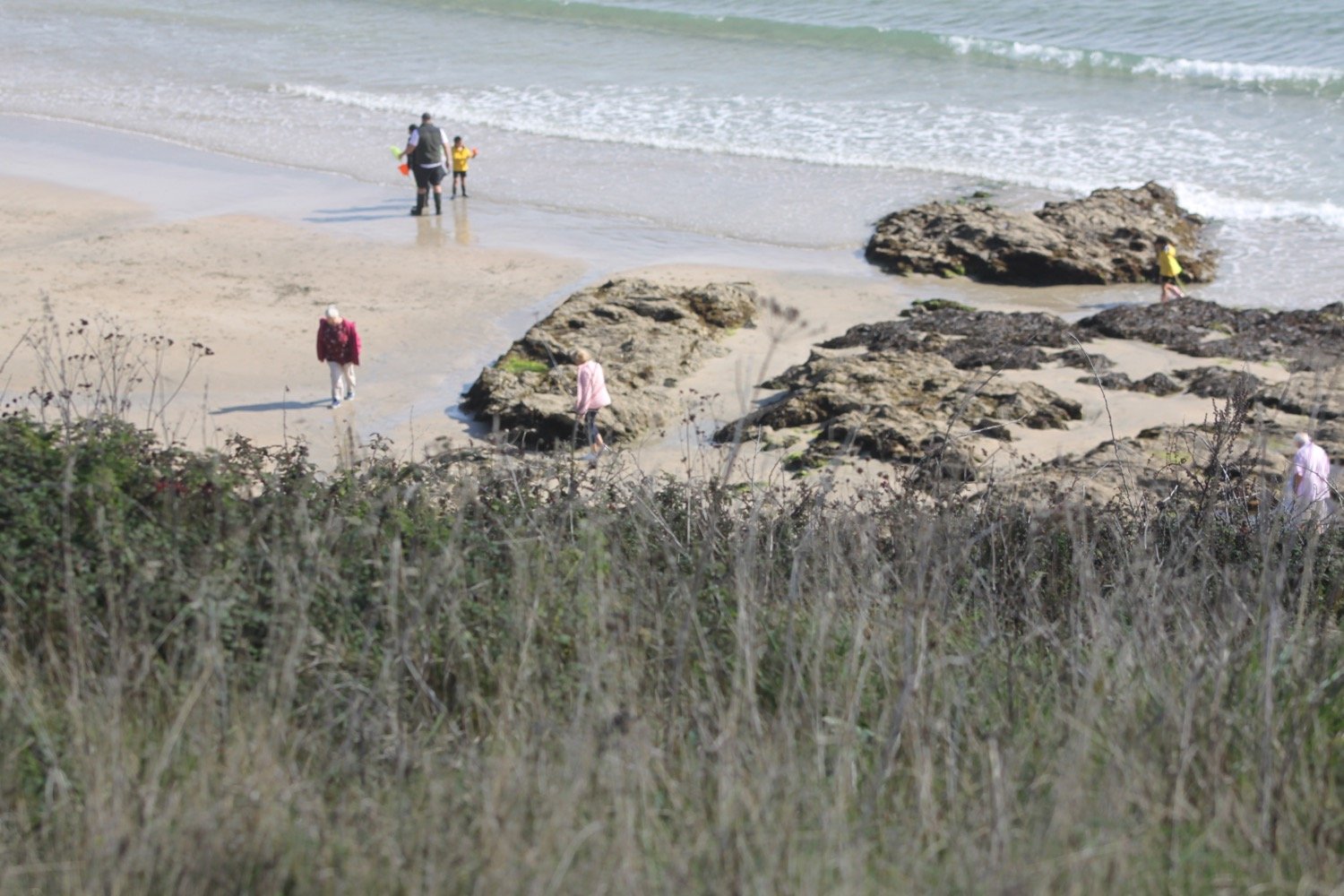
I drop down onto Carne Beach, a fine south facing sandy beach. It starts to rain quite heavily but I don’t think it will last long so I don’t dive into my bag for my waterproofs.
The tide is out so I amble along the beach and cross into Pendower Beach.
I head off of the beach using a slipway and pass by what was once the Pendower Beach House Hotel but is now a sad looking wreck of a building. Several attempts have been made to redevelop this site but all seem to have failed.
pendower beach house hotel
At least there is now a beach hut here selling ice creams and hot and cold drinks.
beach hut
beach hut
I climb out of Pendower Beach via the road, where I come across a flattened toad, and have magnificent views back over the beaches.
The path takes me out on to Treluggan Cliff where there are Shetland ponies chomping on the vegetation.
treluggan cliff
One friendly pony is blocking the footpath and takes some persuading to let me pass.
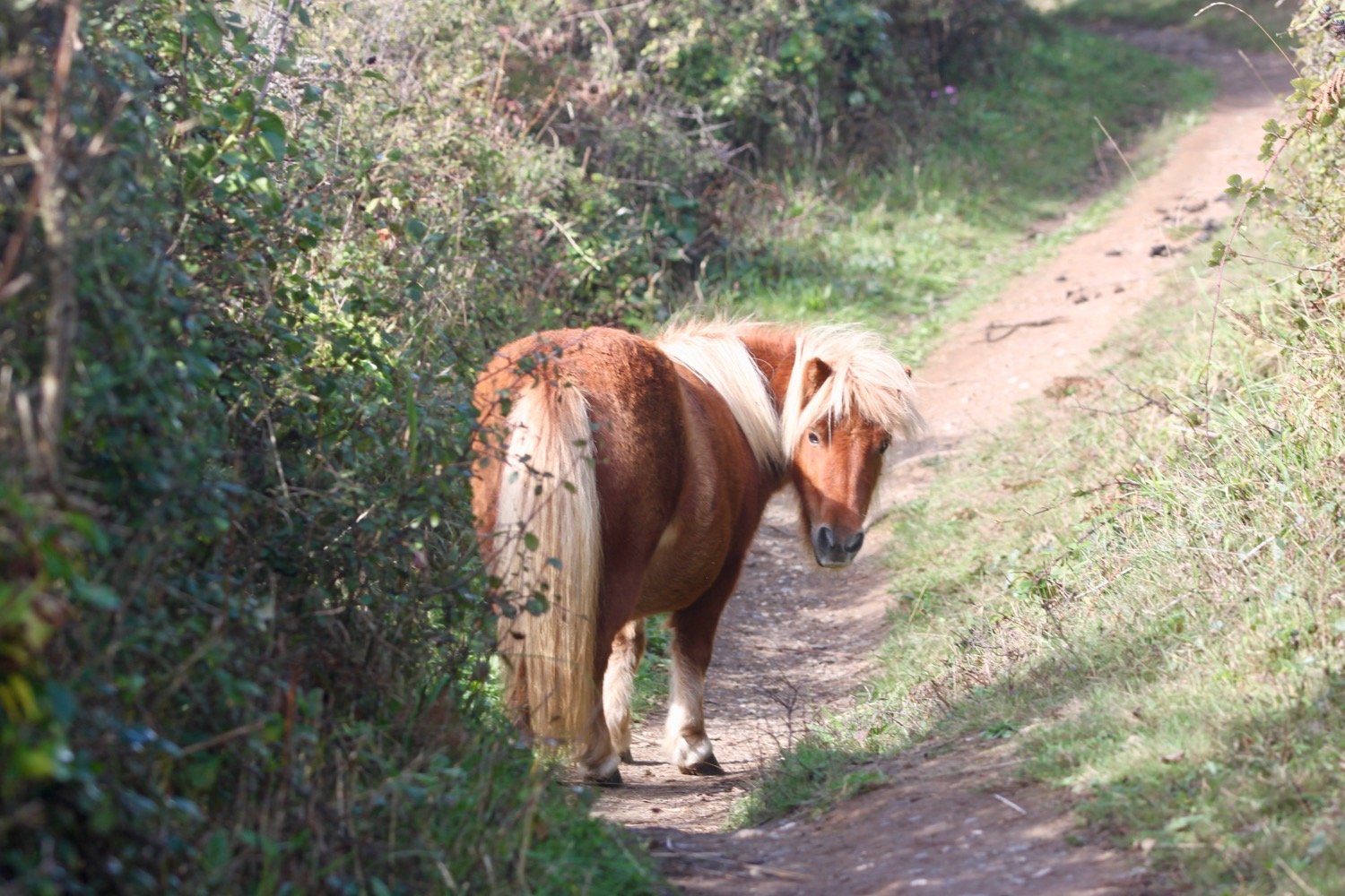
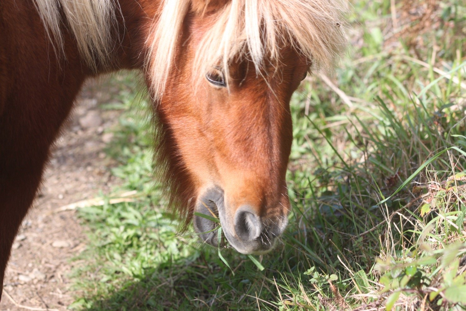
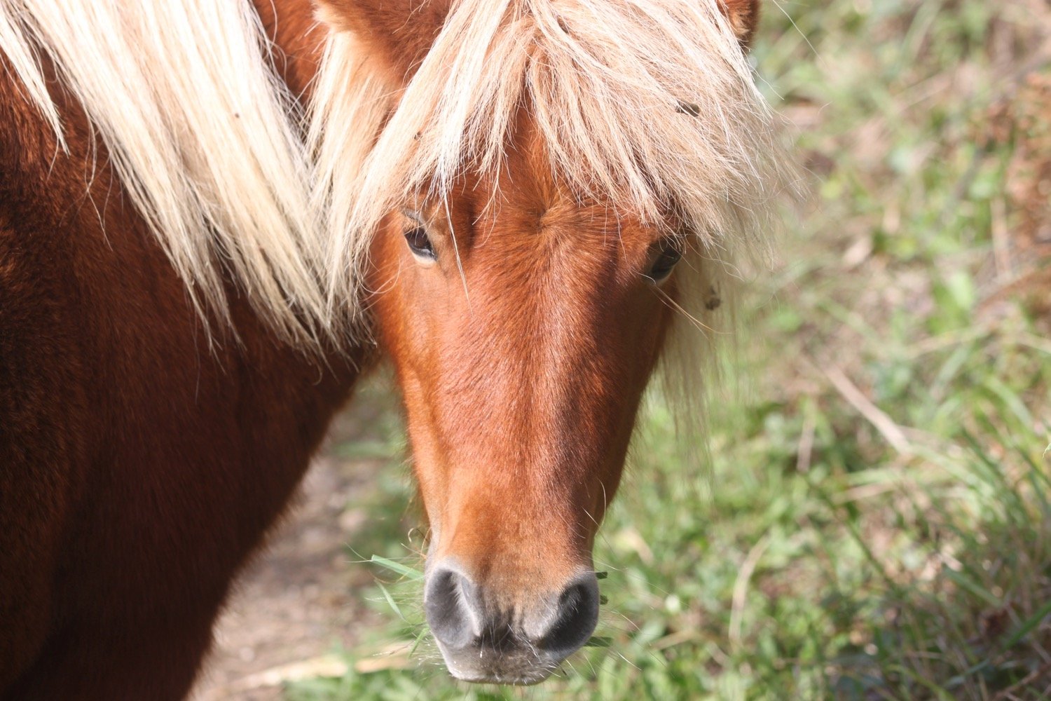
shetland ponies
I come across and manage to photograph a small copper butterfly. There are also clouded yellow butterflies flying around but they prove more difficult to photograph.
small copper butterfly
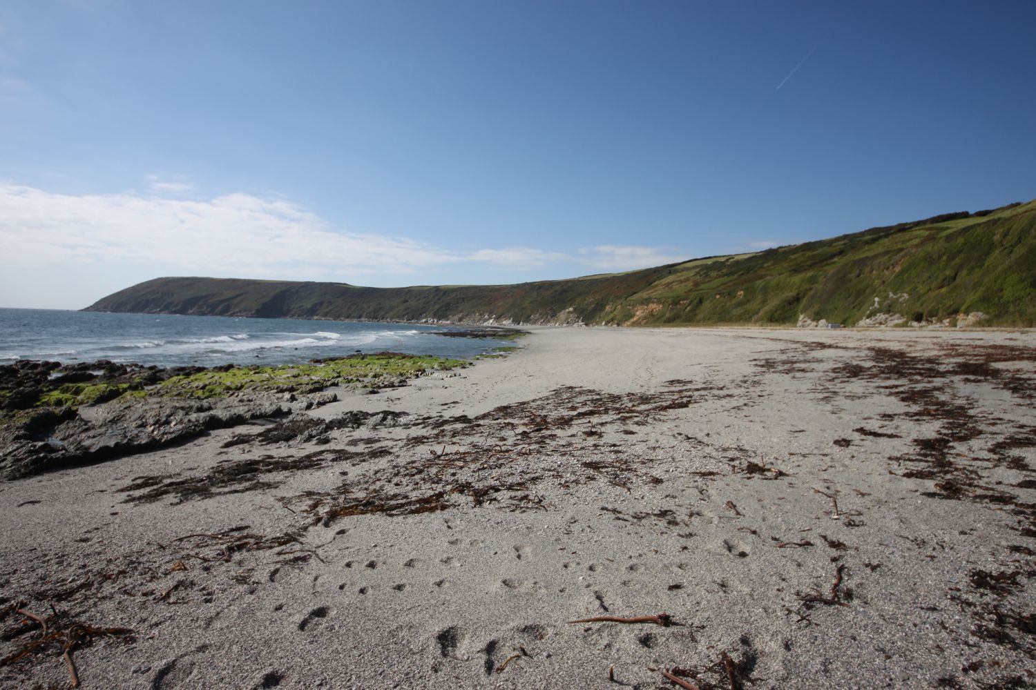
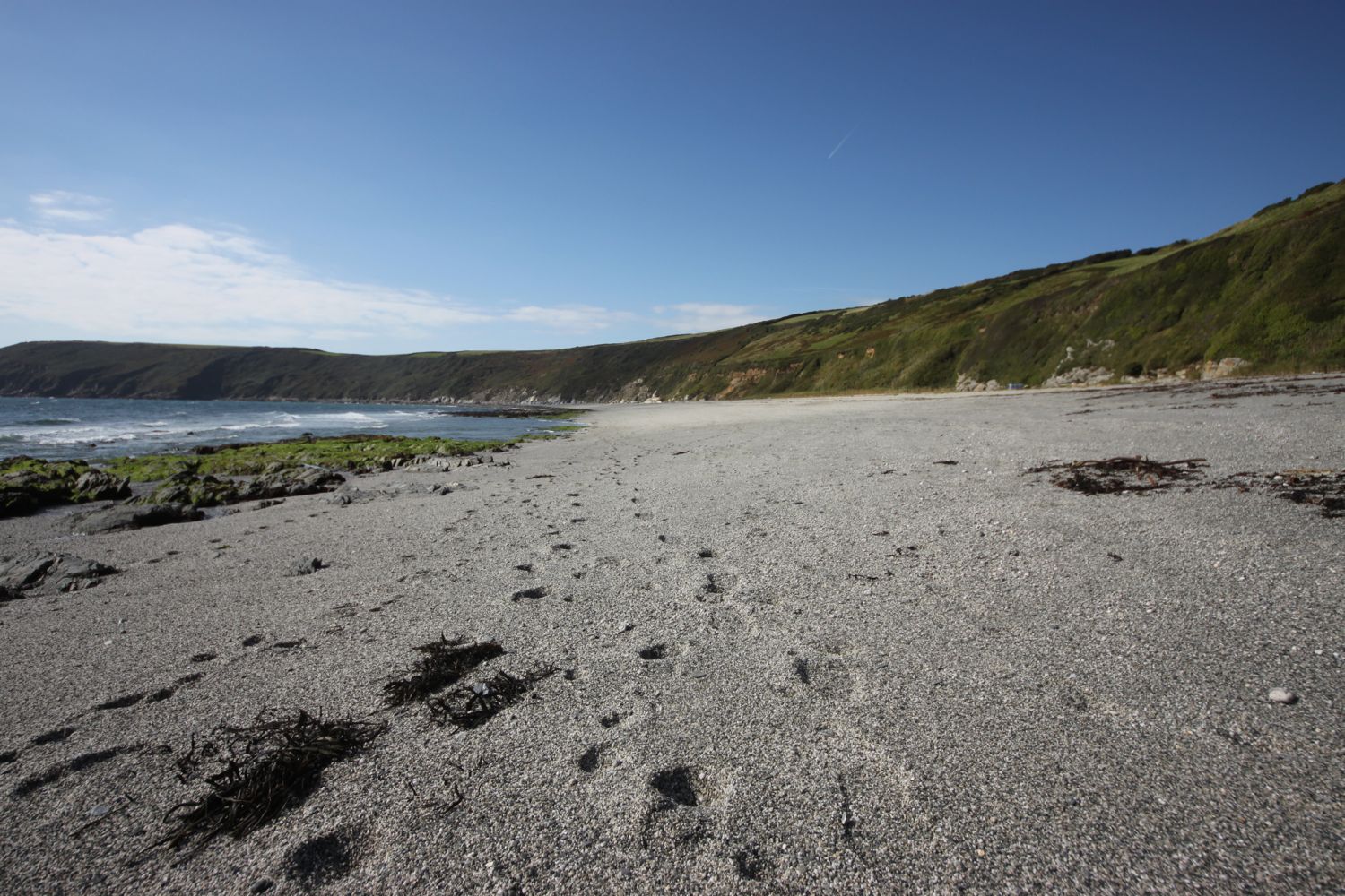
I continue along the coast path to reach Porthbean Beach and I climb down some steps to reach the beach. I amble along the sand pondering on the forces that were at play to create the near vertical sedimentary rock strata before leaving the beach via some wooden steps.
porthbean beach
porthbean beach
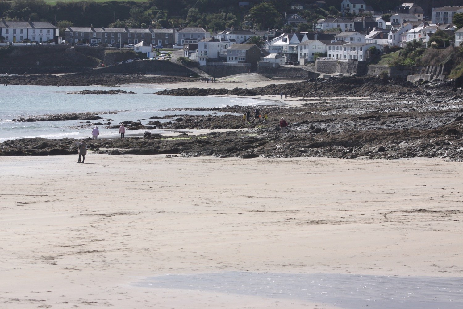
The path leads me past the National Coastwatch Station on Pednvadan Point and I now have magnificent views over towards the village of Portscatho.
national coastwatch station
portscatho
portscatho
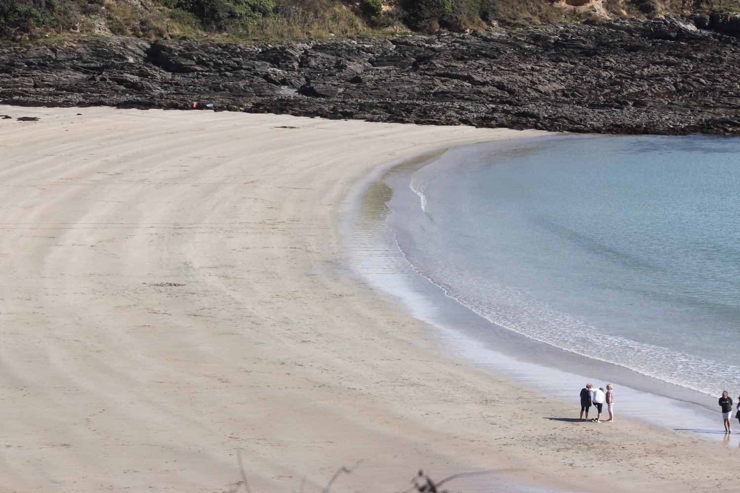
I drop down to Porthcurnick Beach which is surprisingly busy.
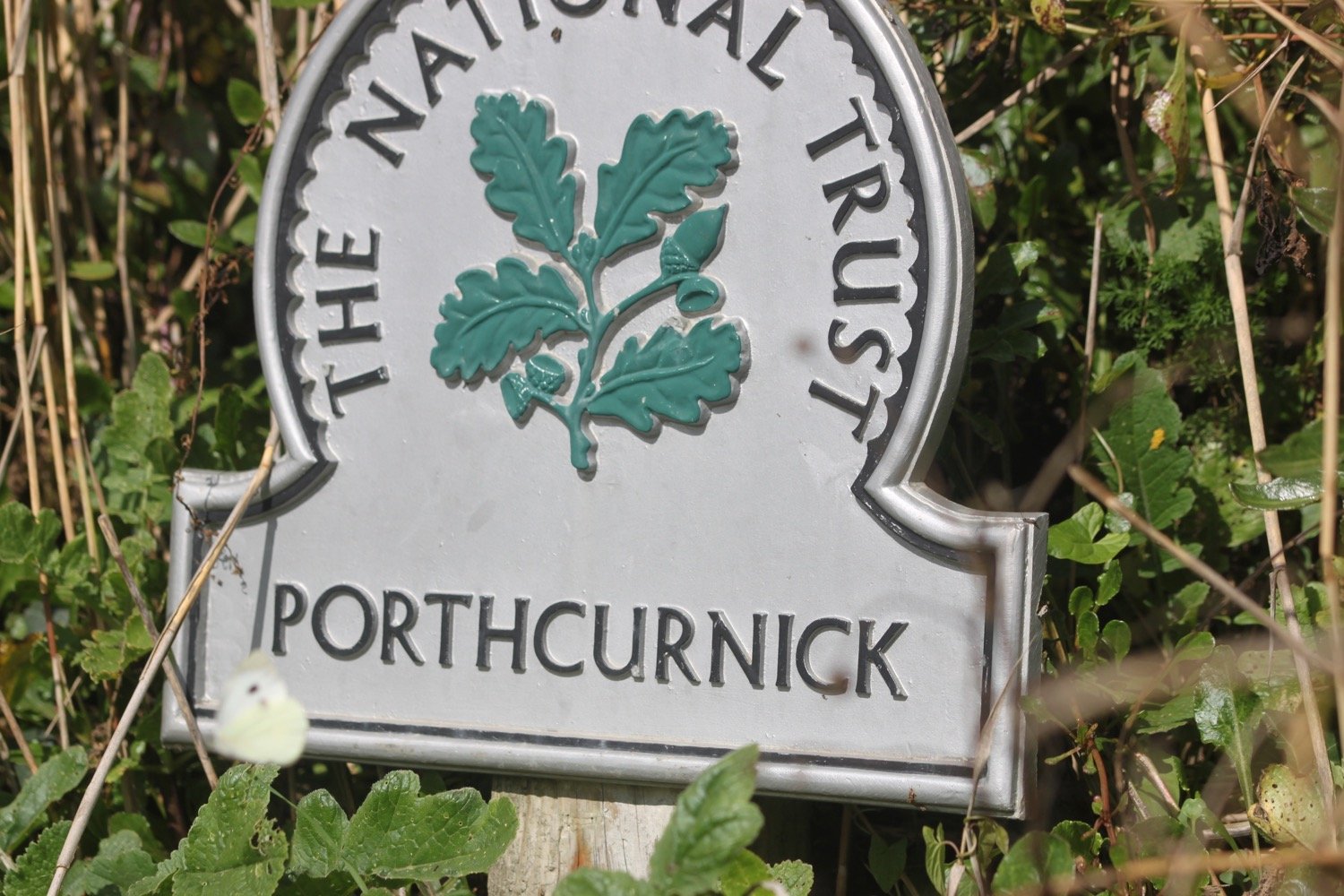
Here can be found the Hidden Hut (@thehiddenhut) beach cafe.
the hidden hut
I cross the beach and climb up some steps where I have lovely views back across the beach.
It's now a short walk to head in to Portscatho, home of cricket.
portscatho
I walk through Portscatho along North Parade and pass Tavola pizza and pasta bar before dropping down to explore the beach.
tavola pizza and pasta bar
I head out of the village, passing the Plume of Feathers and head uphill towards Gerrans where my lift awaits in the car park. Portscatho is a lovely place but it seems to be overrun with cars nowadays.
FLORA AND FAUNA
Flora and fauna encountered on the walk today includes :-
fuchsias
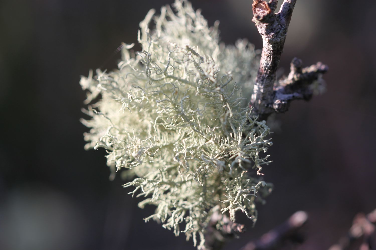
gorse
bracken
chiffchaffs
robins
hydrangeas
blackberries
crocosmia
red campion
holly
sloes
stonechats
skylarks
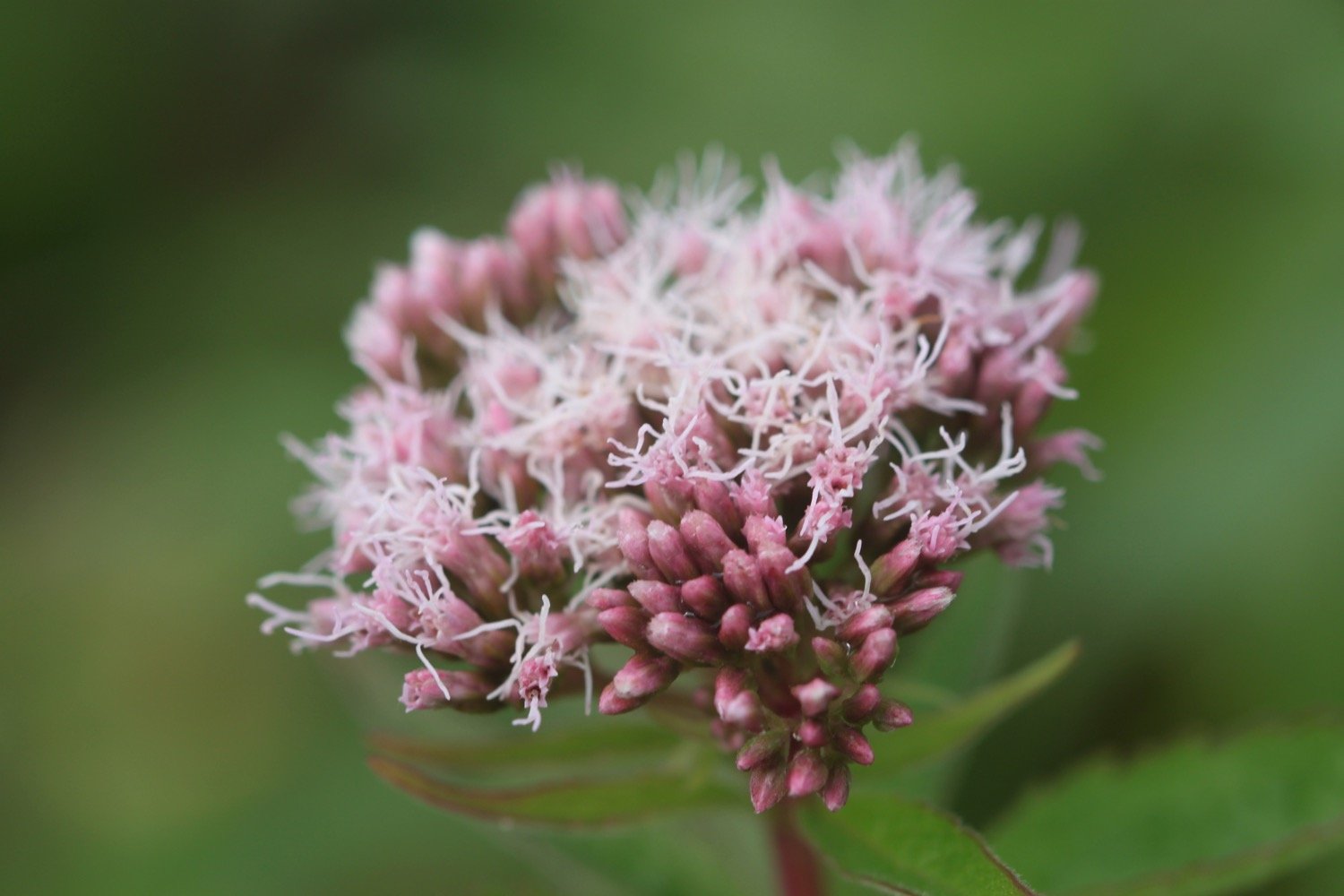
hemp agrimony
fleabane
beetle
yarrow
a flattened toad
cormorants
shetland ponies
small copper butterfly
clouded yellow butterflies
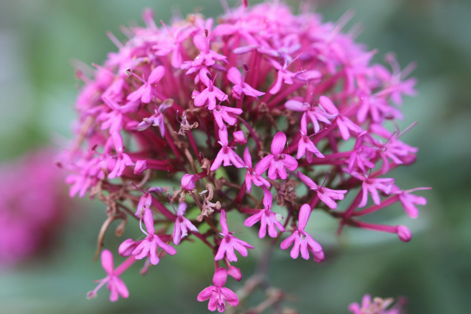
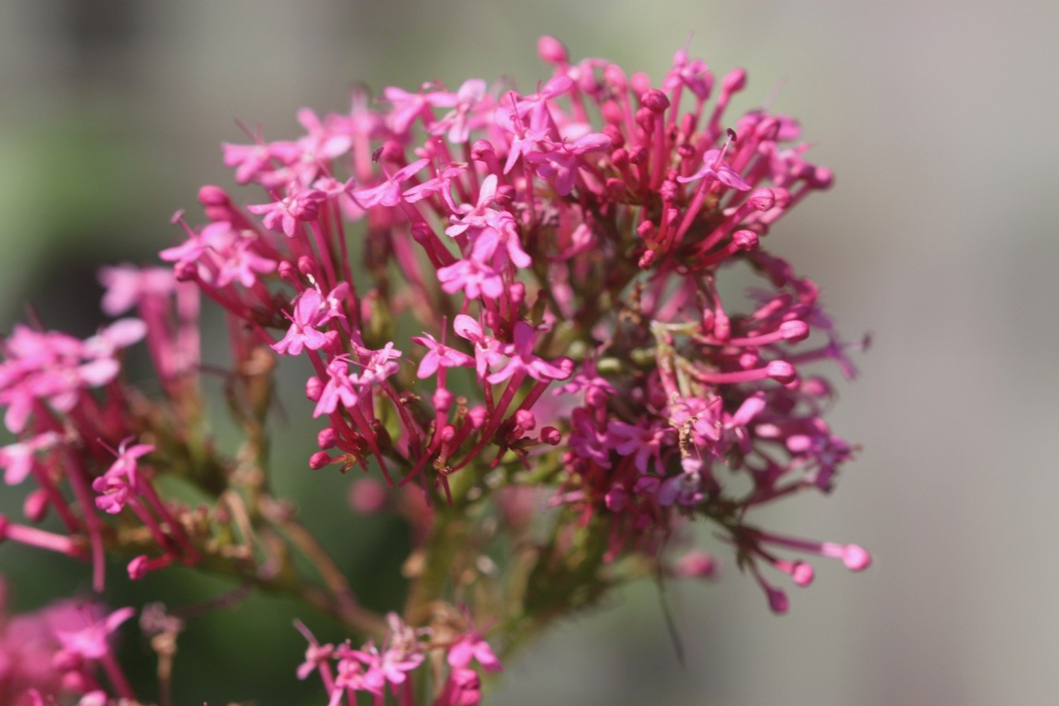
red valerian
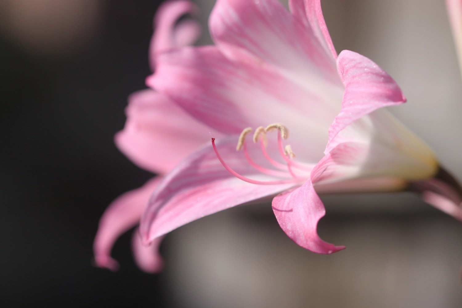
amaryllis belladonna
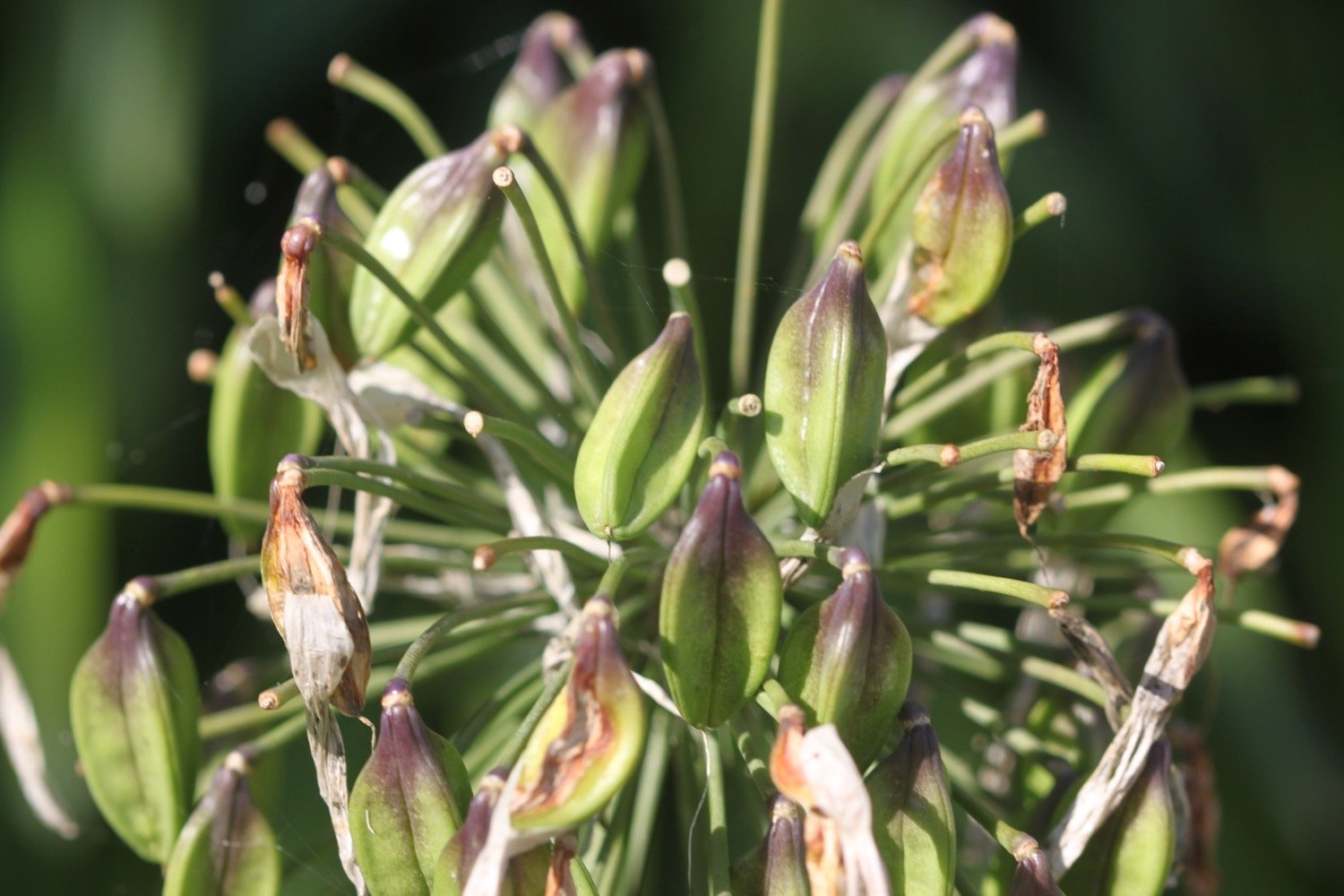
agapanthus
buddleia
fig

PODCAST
The podcast of today's walk is now available. You can subscribe via Apple Podcasts or listen using the player below.

MARKS OUT OF TEN?
According to my phone I've walked 8.9 miles which amounts to 21620 steps. It has taken me four hours. It has been seven years since I last walked this section of the coast path but it never fails to delight. Ten out of ten!
WALK DETAILS
MAP
bomb strikes
shetland pony
small copper
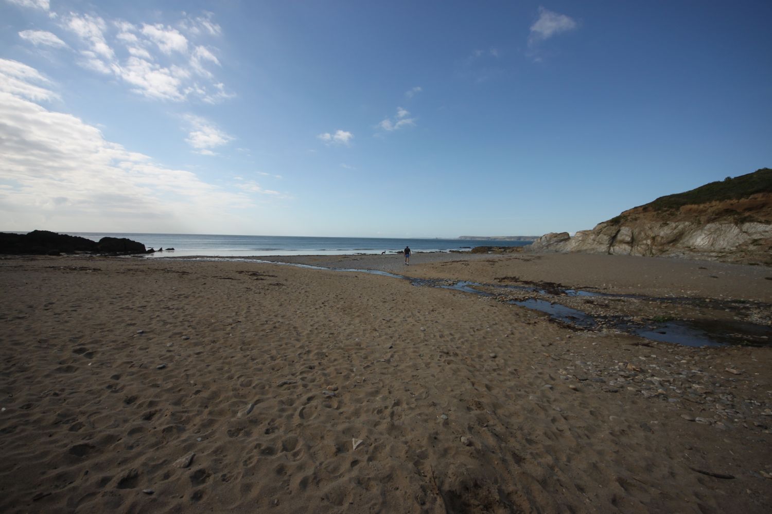
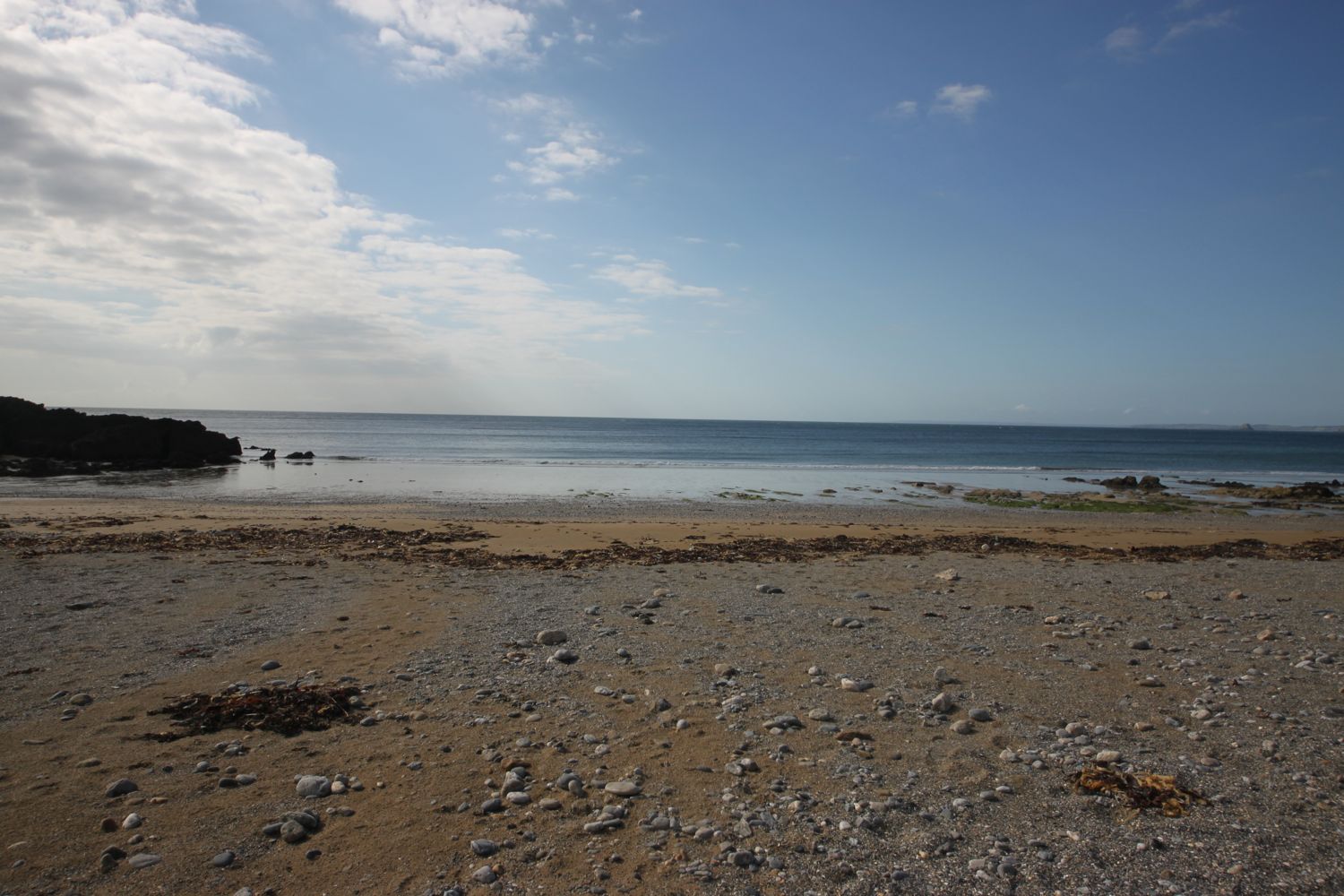
beach collection