tintagel to port isaac
SOUTH WEST COAST PATH
Thursday, 11TH MAY 2023
The weather forecast for today isn’t great but I’ve been hampered by poor weather all week and this is the last chance to get in some walking, so I’ll just have to take my chances.

Port Isaac high tide 10:00
Port Isaac low tide 16:15

I’m dropped off on the outskirts of Tintagel and follow a footpath down to the coast path covered in wild flowers, heading for Barras Nose.
barras nose
A coast path sign tells me that Trebarwith Strand is two and a quarter miles away. I’m beginning to doubt the accuracy of these signs.
trebarwith two and a quarter miles
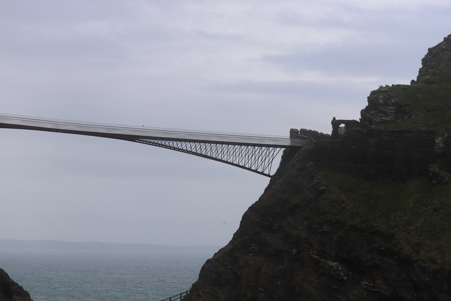
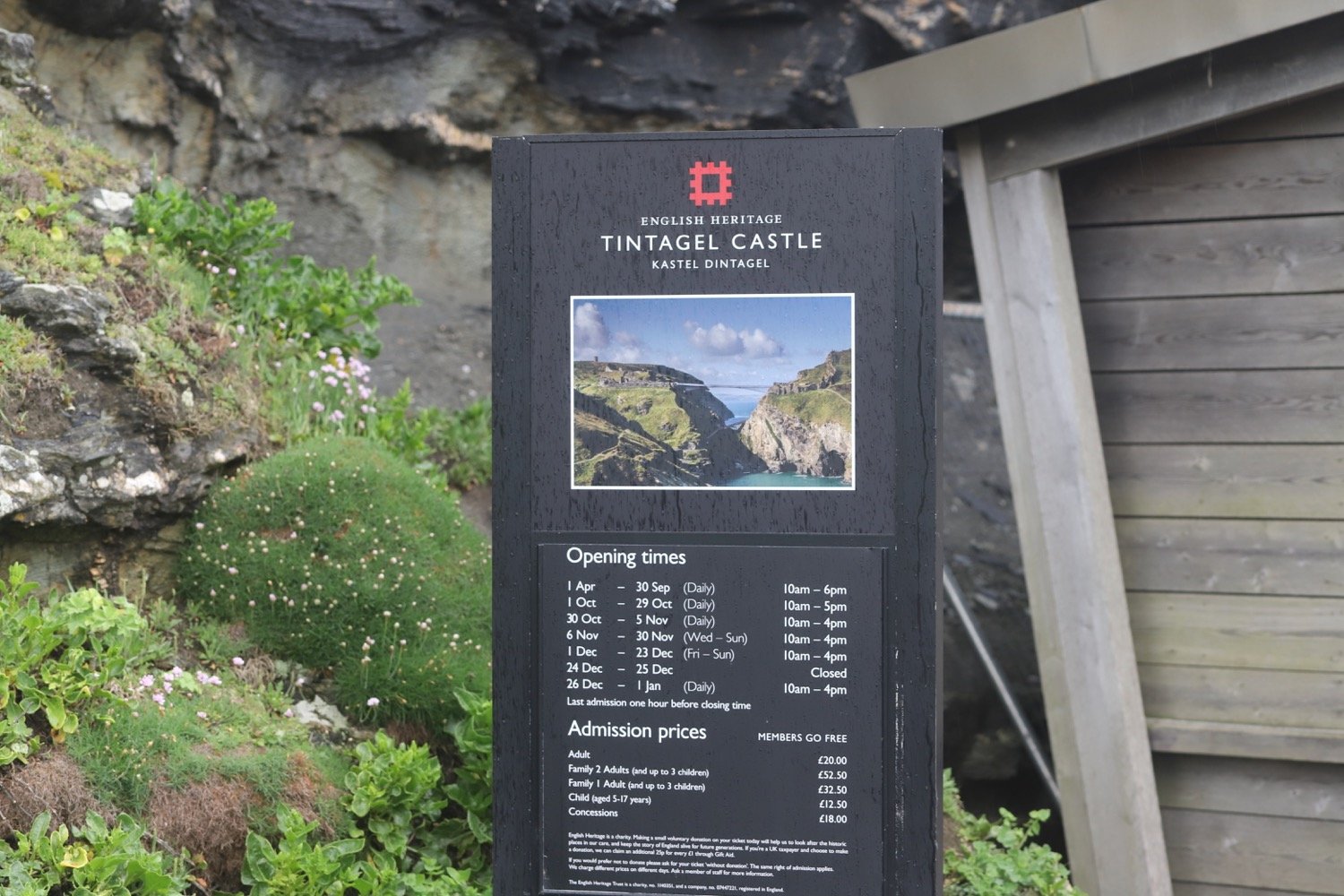
I reach Tintagel Castle on Tintagel Head. Blimey! That’s an expensive entrance fee.
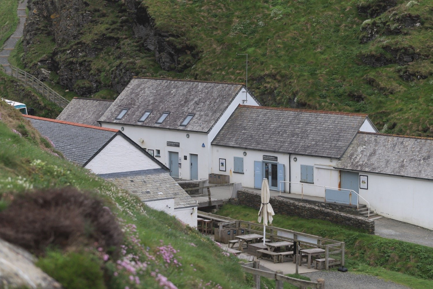
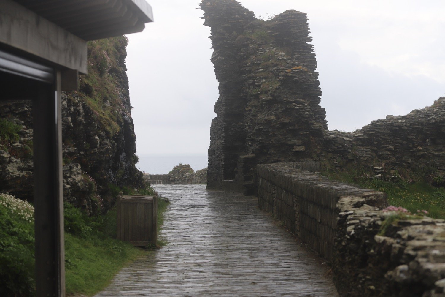
I pass the cafe, once used as offices and workshops for the mines and climb back up onto the cliffs where it starts raining.
I head towards St Materiana's Church above Glebe Cliff. Odd name for a church and I don't know why it's called this. The cover of the first edition of possibly my favourite book, A Month in the Country by J L Carr, featured this church even though the book itself was set in Yorkshire.
st materiana
st materiana
glebe cliff
I continue along a track, passing Tintagel Youth Hostel.
tintagel youth hostel
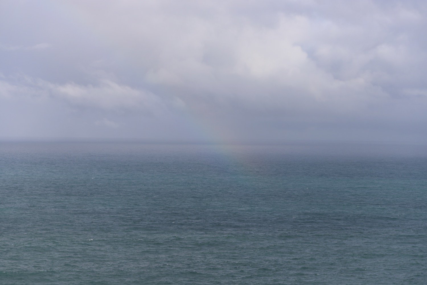
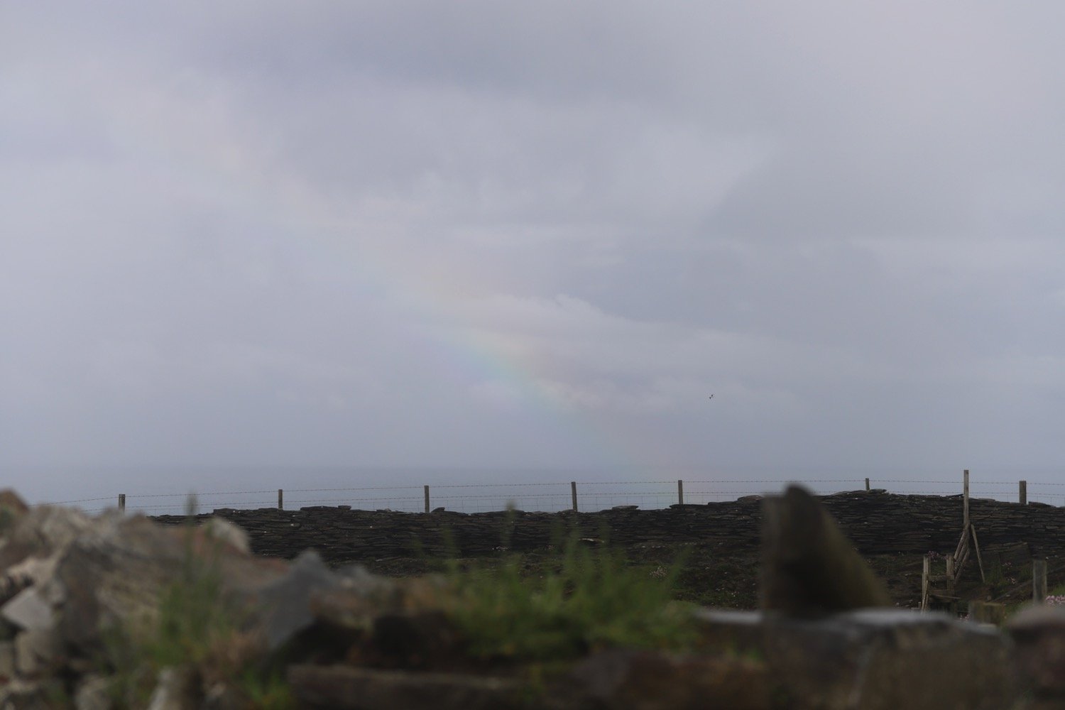
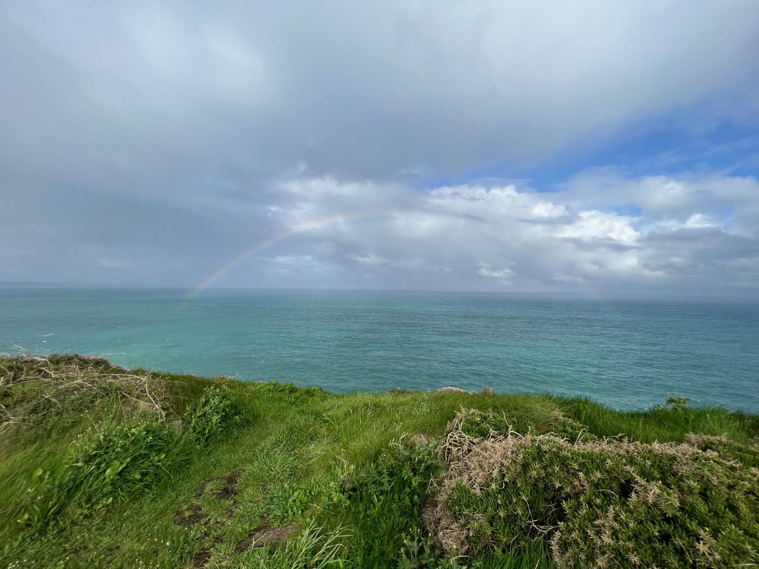
The weather can’t seem to make up its mind and I’m battered by heavy showers followed by sunny spells which results in a lot of rainbows.


It is now a rocky path over Glebe Cliff, around Dunderhole Point, Gull Point, Higher Penhallic Point and Lower Penhallic Point passing quarries on the way.
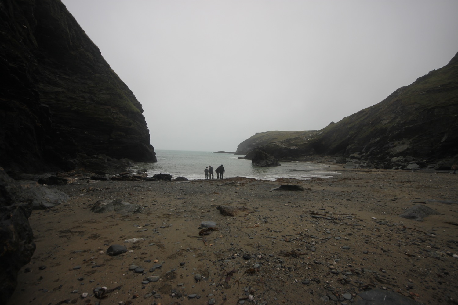
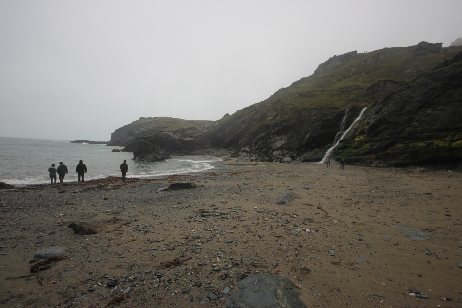
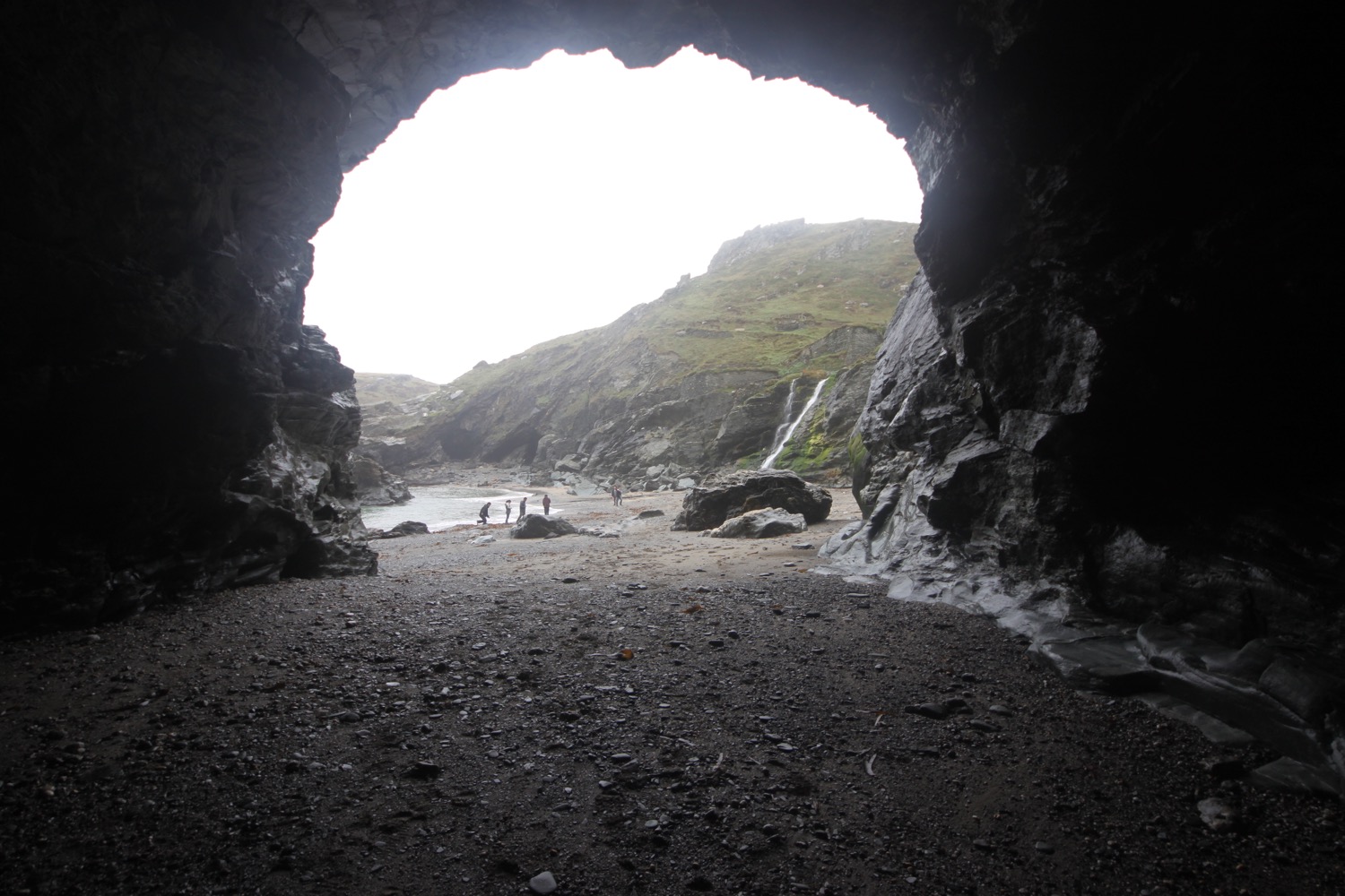
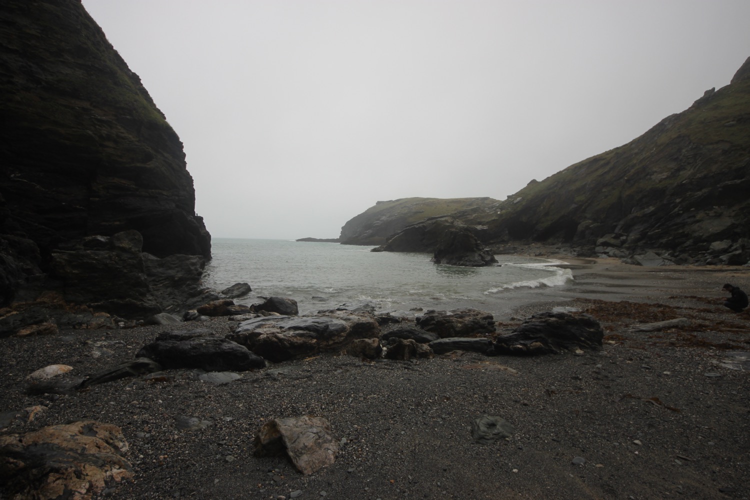
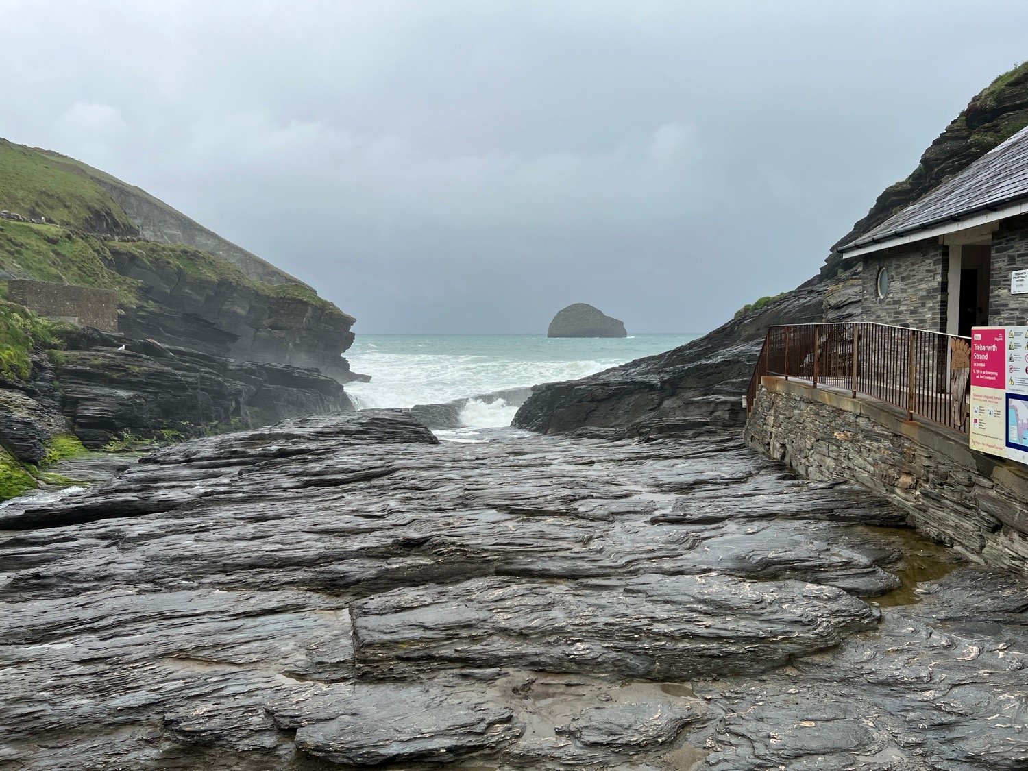
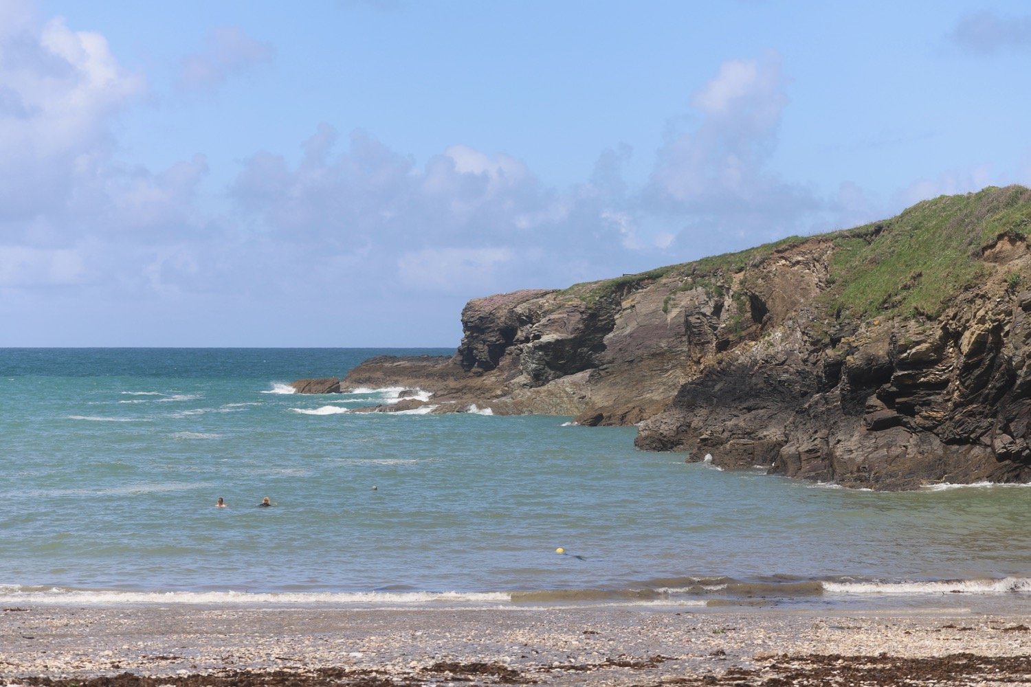
I climb my way gingerly down the cliff to reach Trebarwith Strand, one of my favourite beaches. The trouble is that I’m close to high tide and the beach has been completely consumed by the sea. The path down is lethal after the rain.
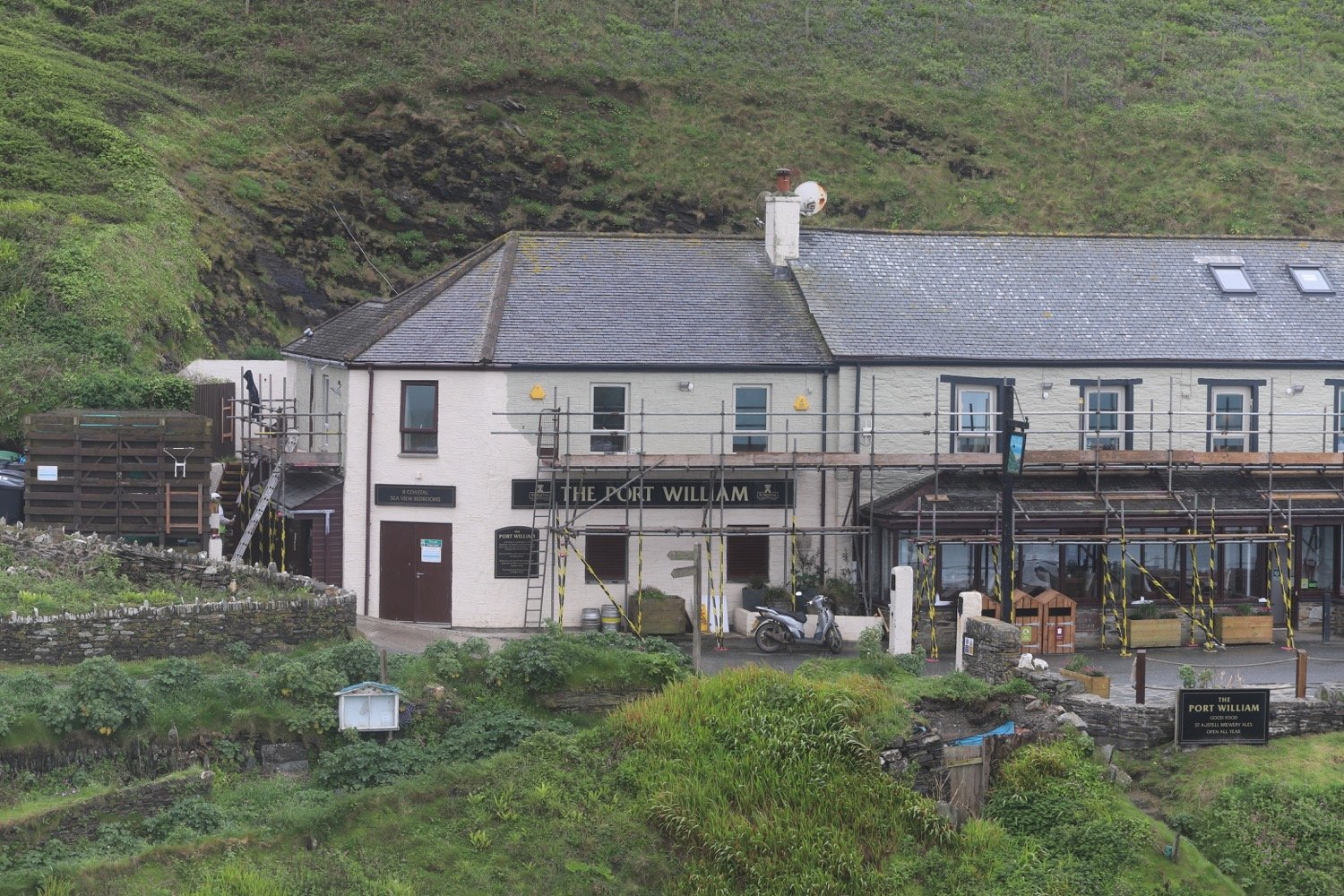
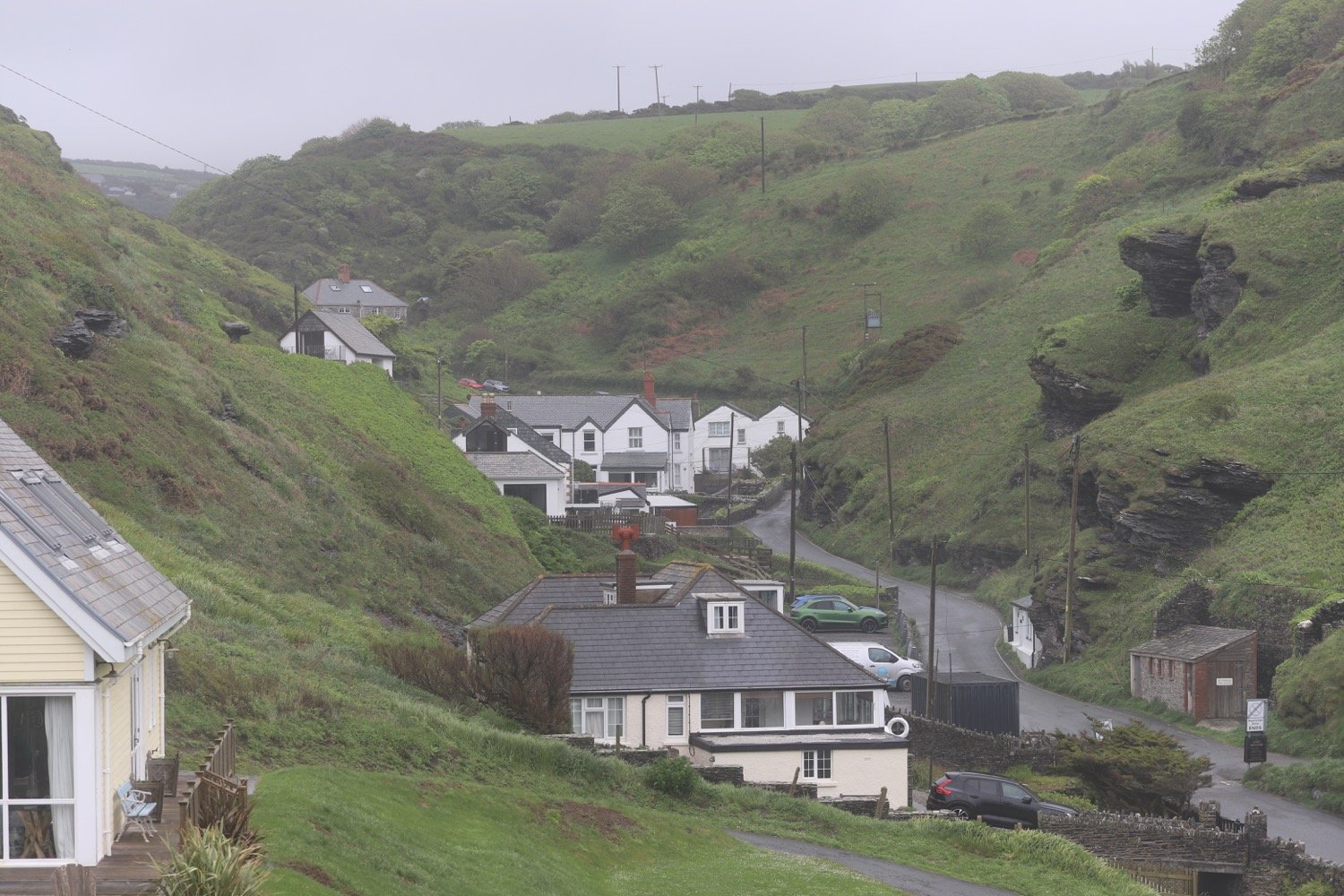
I climb steeply out of Trebarwith Strand, passing The Port William, and I have final views over the strand before heading back along the cliffs.
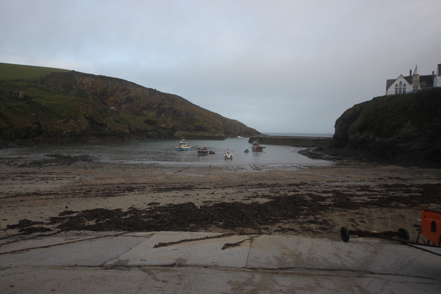
I now have stonechats for company, clicking away in the shrubs and I can see Port Isaac not that far away in the distance.
view over port isaac
I round Dennis Point and then drop down into the valley behind Backways Cove.
I then head along an easy path above Treligga Cliff and then cross a stone slab bridge above Tregardock Beach.
treligga cliffs
I climb up onto Tregardock Cliff. It’s a stinky, narrow and muddy path, overhung by rusting barbed wire waiting to spike anyone who slips.
I reach Dannonchapel and come across a coast path sign that tells me that Port Isaac is only three and three quarter miles away.
port isaac three and three quarter miles away
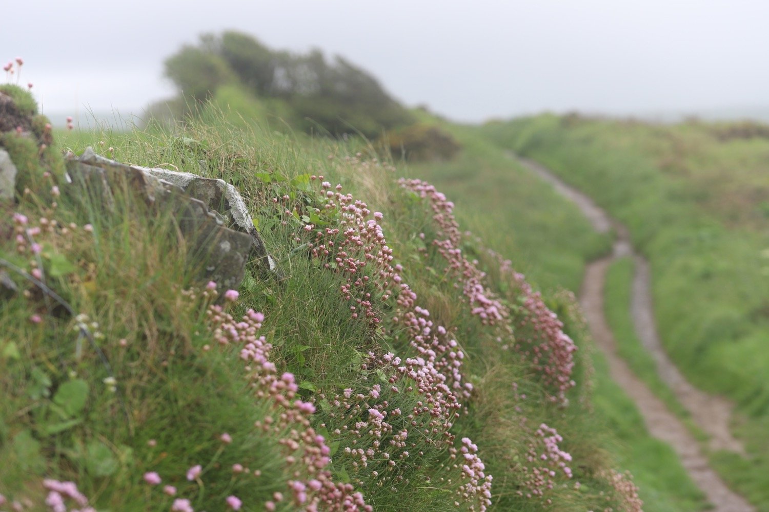
It has finally turned into a glorious day and I have lovely views over to Port Isaac and back to Trebarwith.
view over to port isaac
view back to trebarwith
I slip and slide along until the going gets a bit difficult along Jacket's Point. I cross a footbridge above a waterfall and then climb a load of steps before crossing several valleys to reach Barrett's Zawn. It is extremely tough going slipping and sliding on the mud and slippery rocks.

I continue along the top of Bounds Cliff and pass over Pigeon's Cove, St Illickswell Gug and Rams Hole before rounding Tresungers Point.
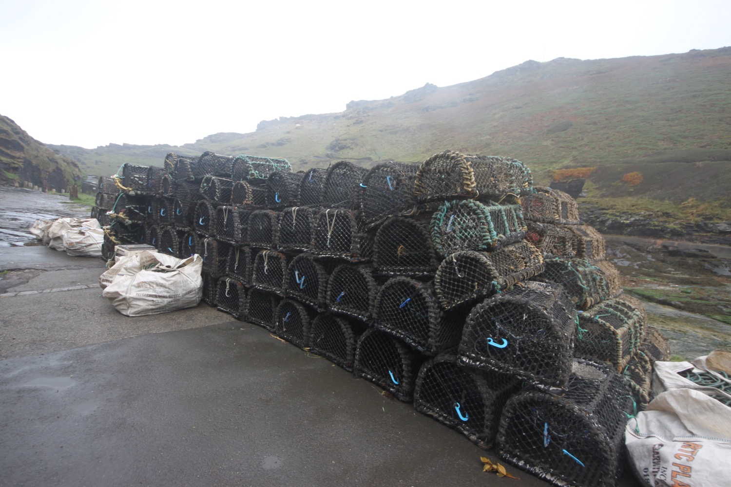
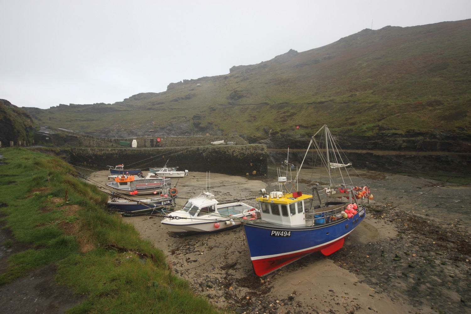
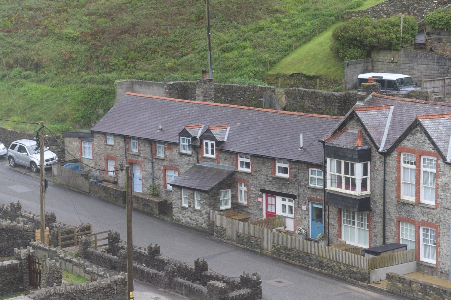
I drop down to the road at what was once Headlands Hotel but is now derelict. I walk down into Port Gaverne, passing the Port Gaverne Restaurant and Hotel.
port gaverne
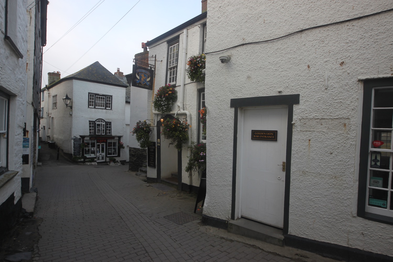
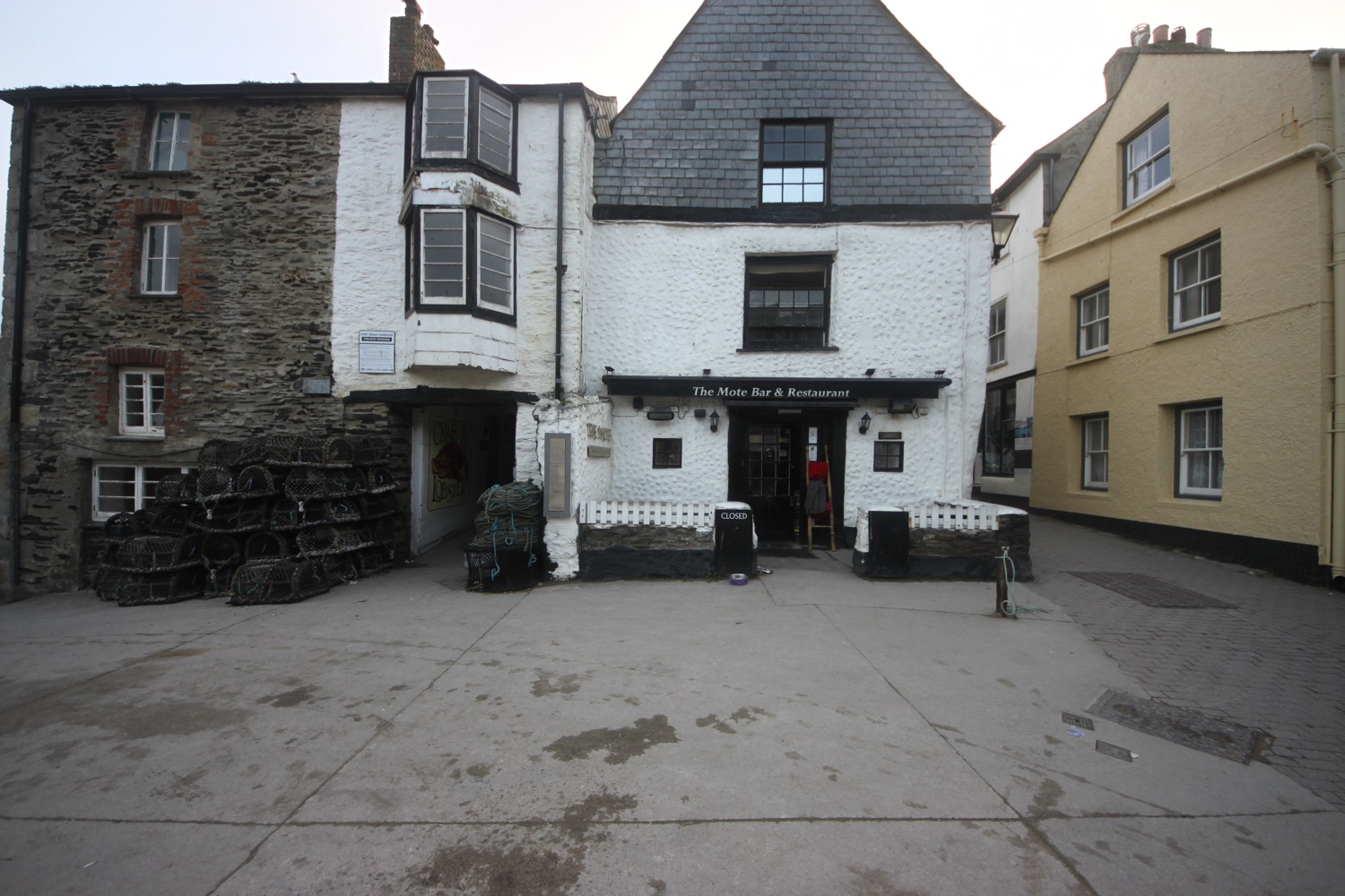
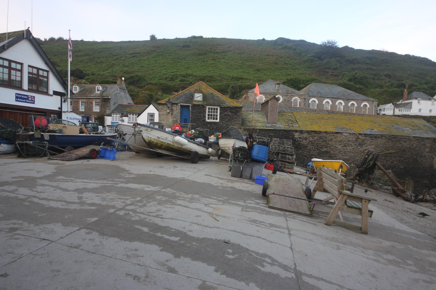
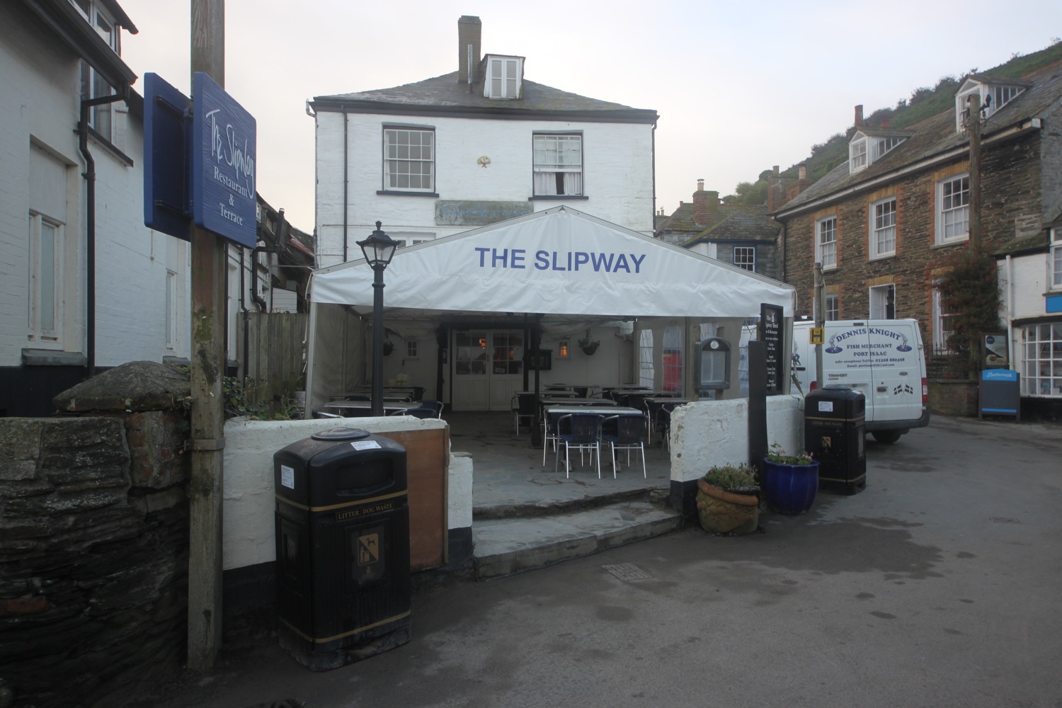
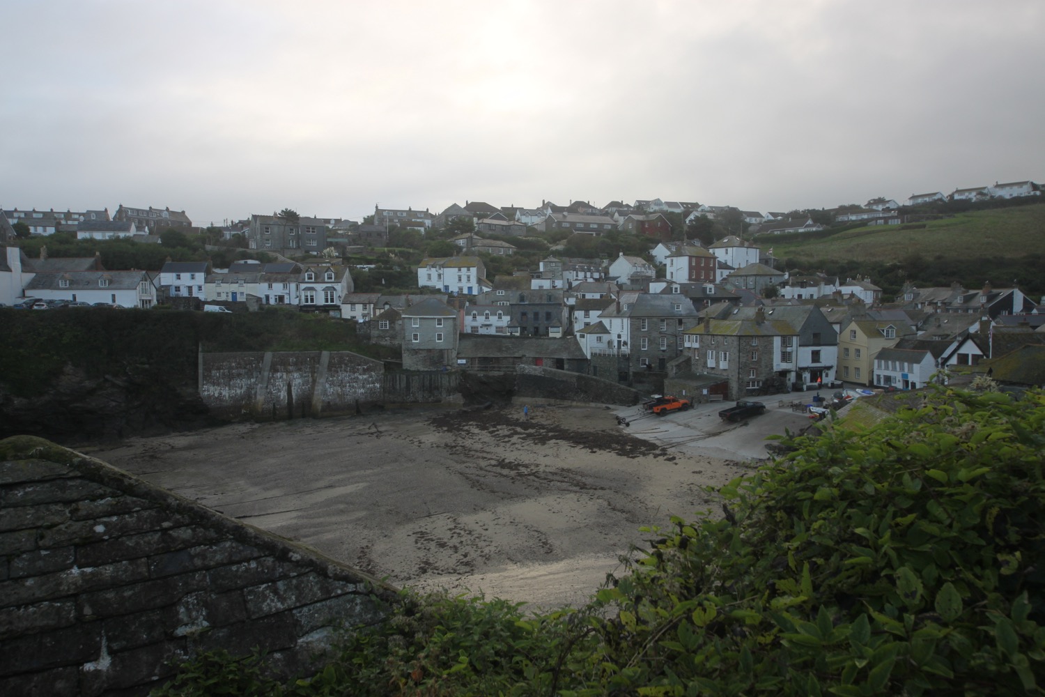
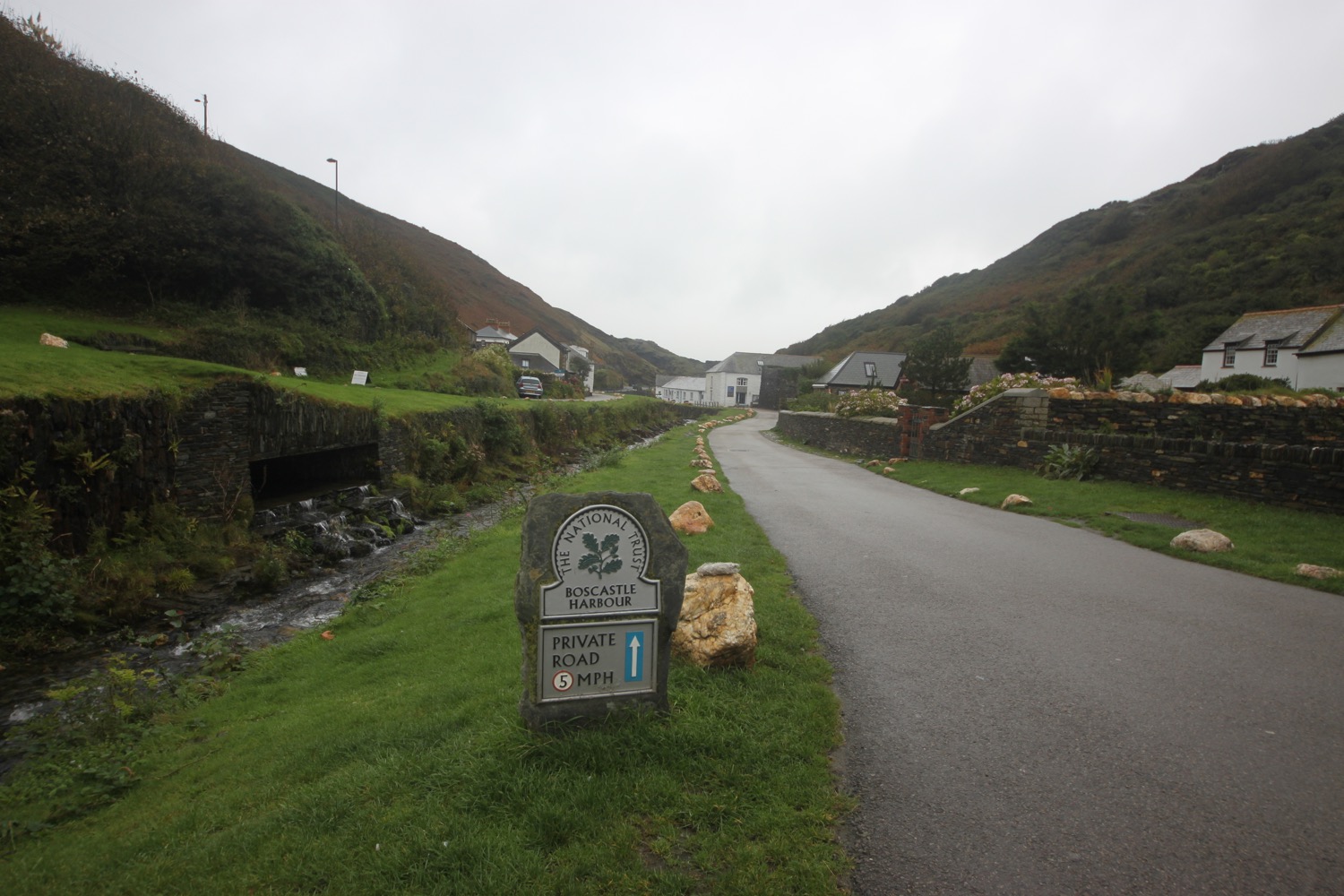
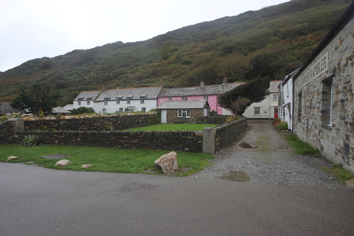
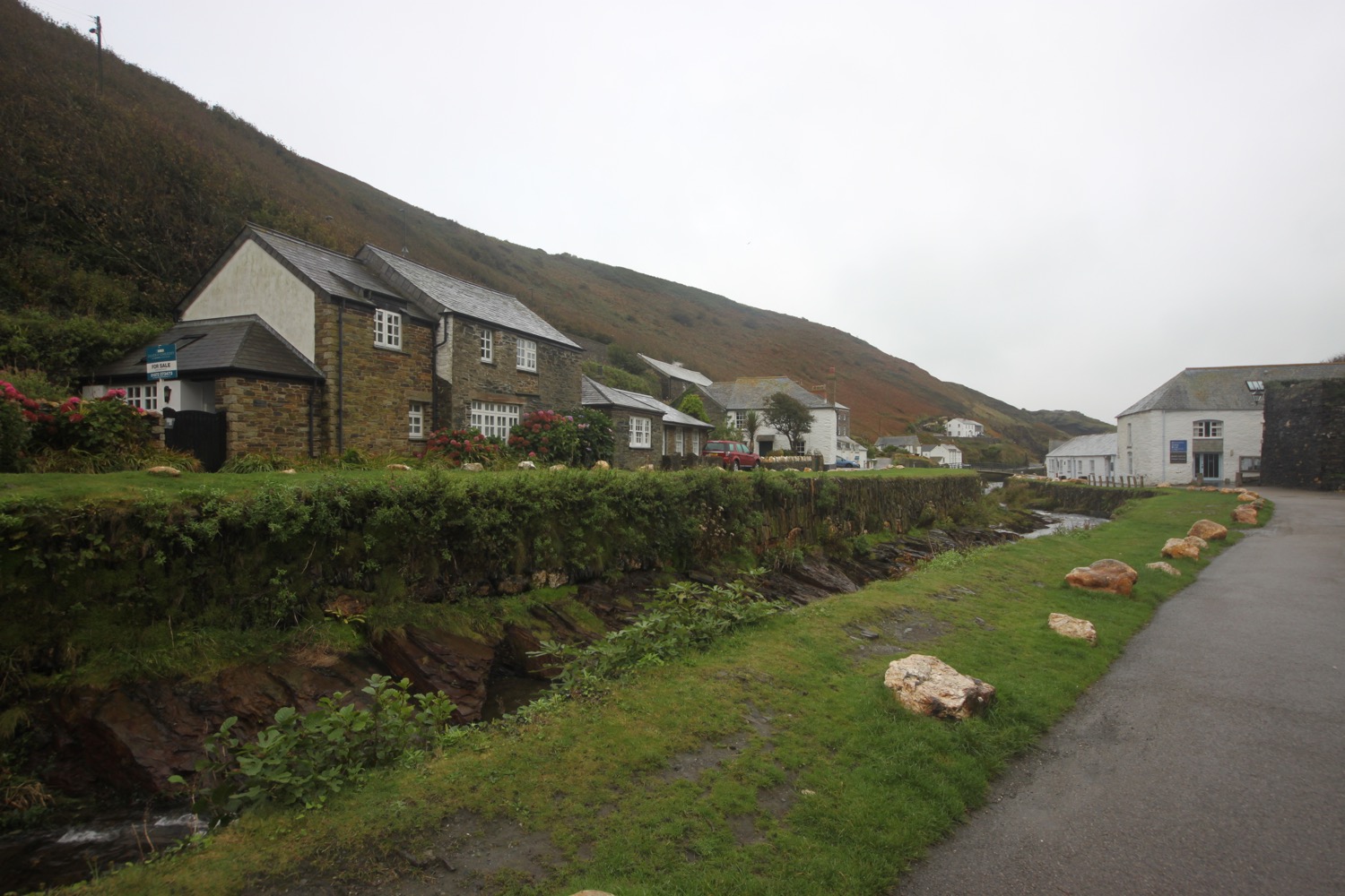
I follow the road steeply uphill out of Port Gaverne to reach my destination for the day, the car park above Port Isaac.
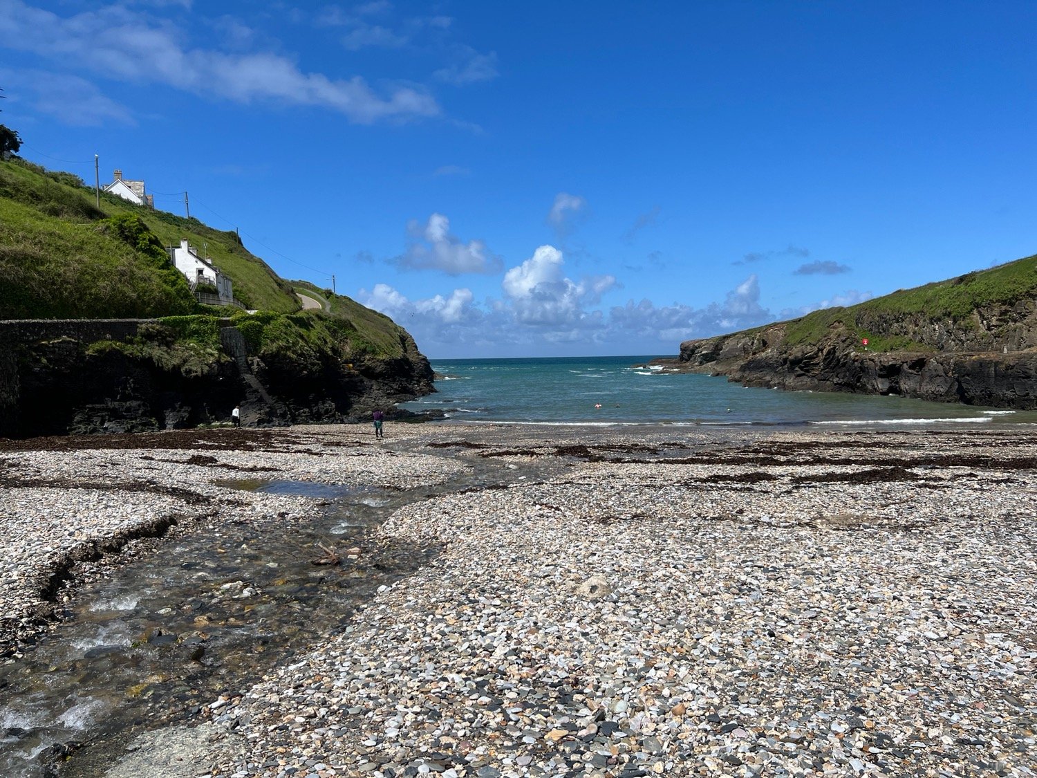
welcome to port isaac
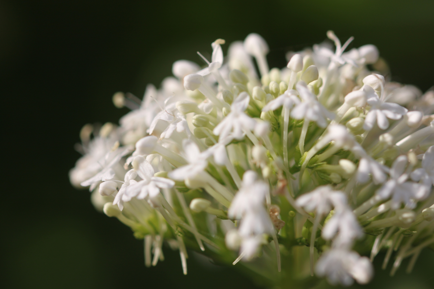
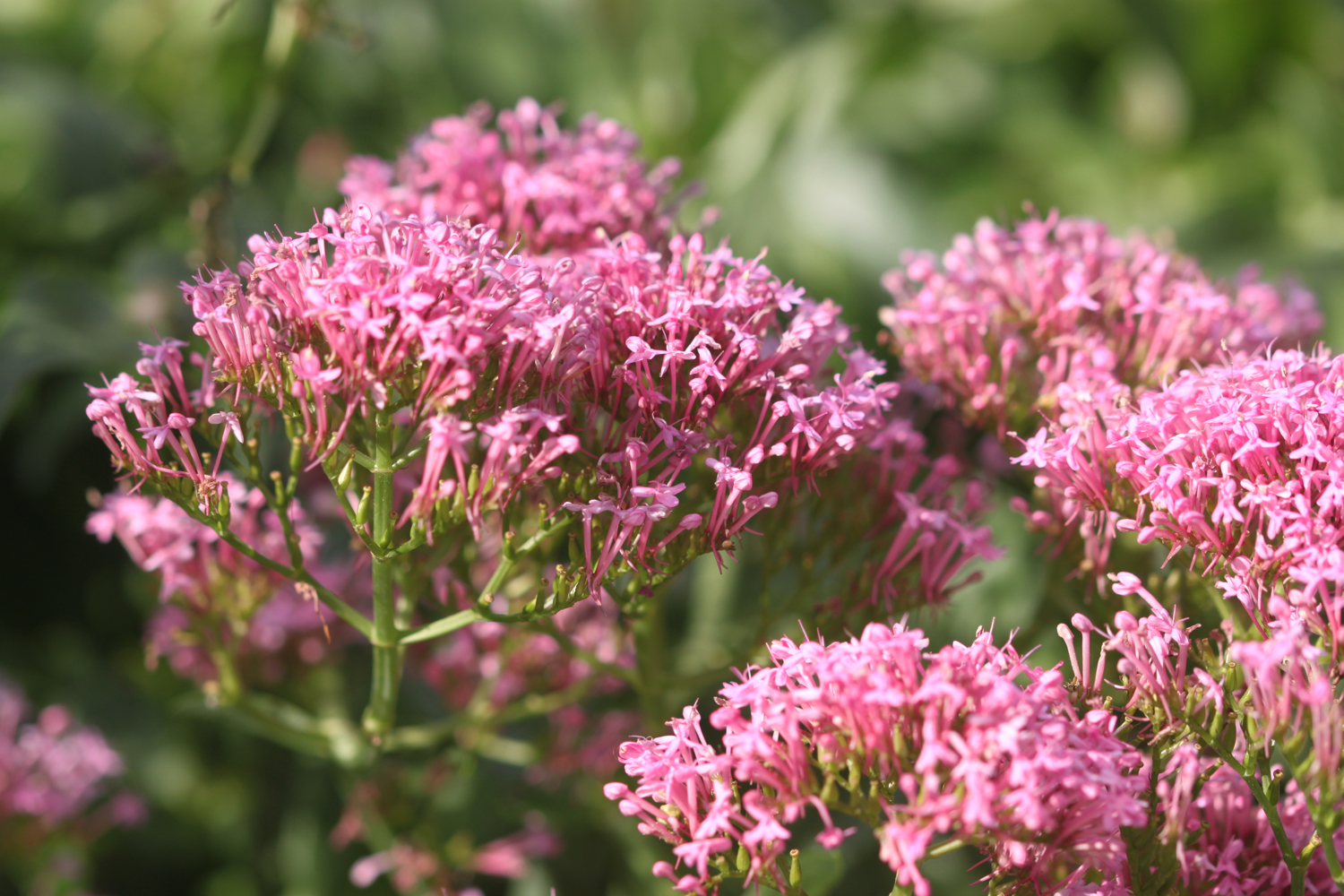
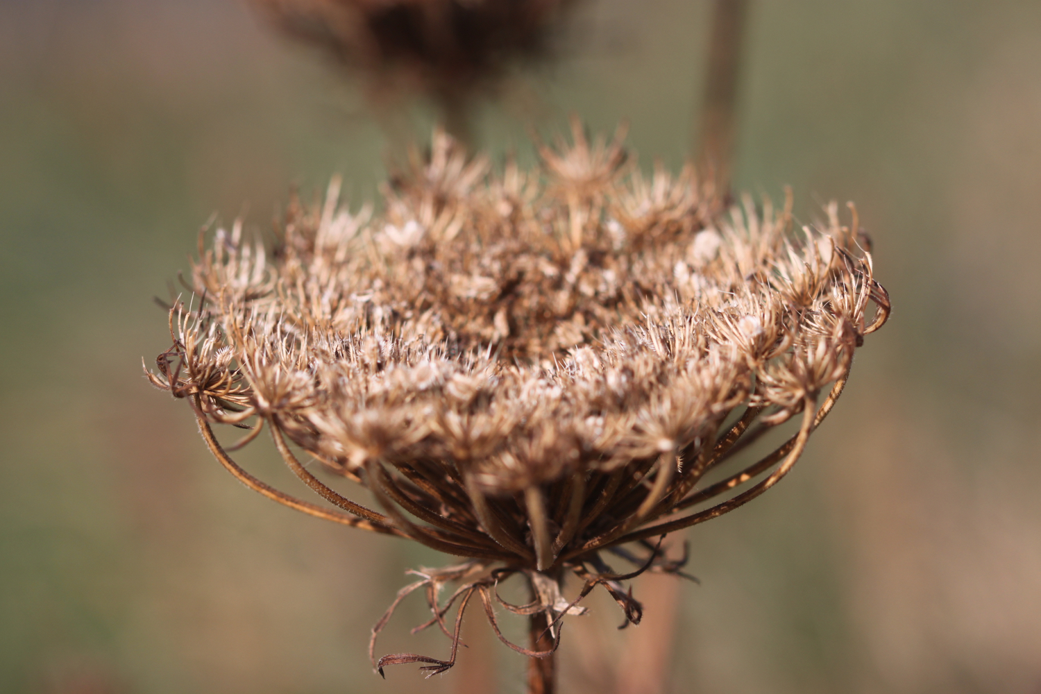
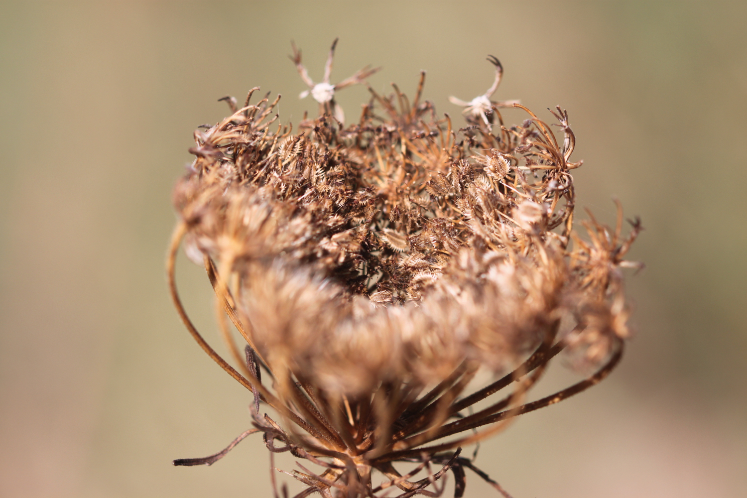
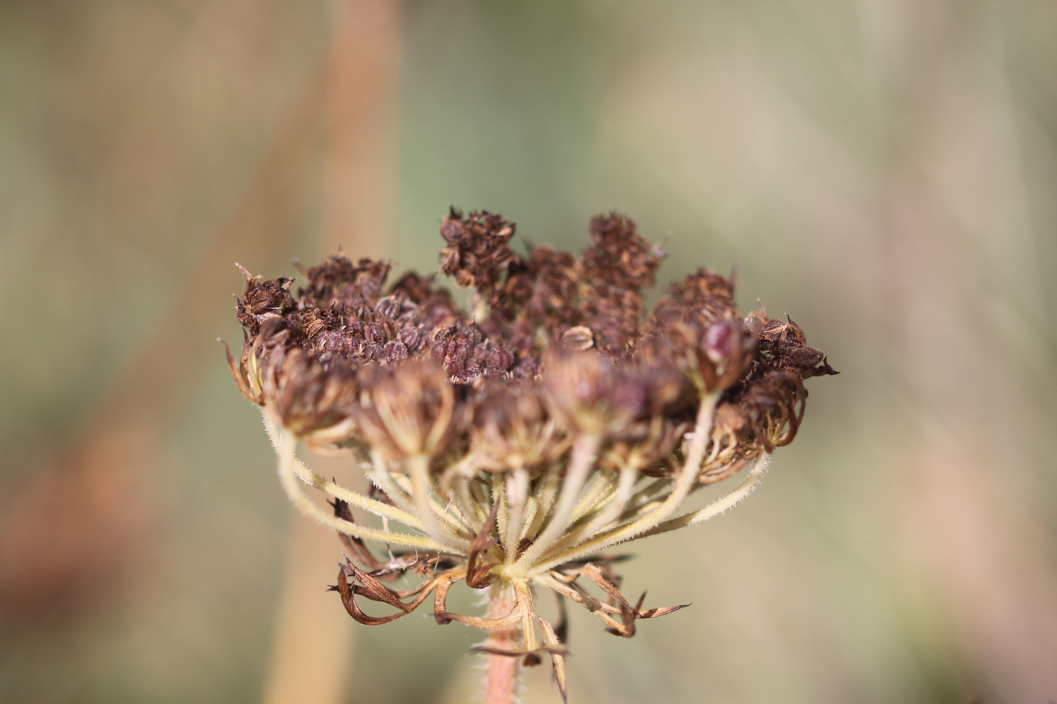
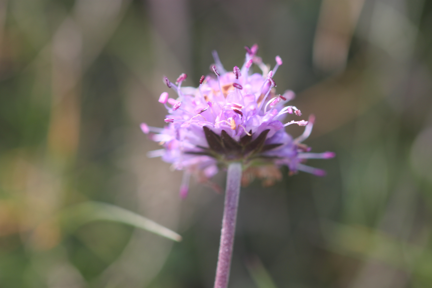
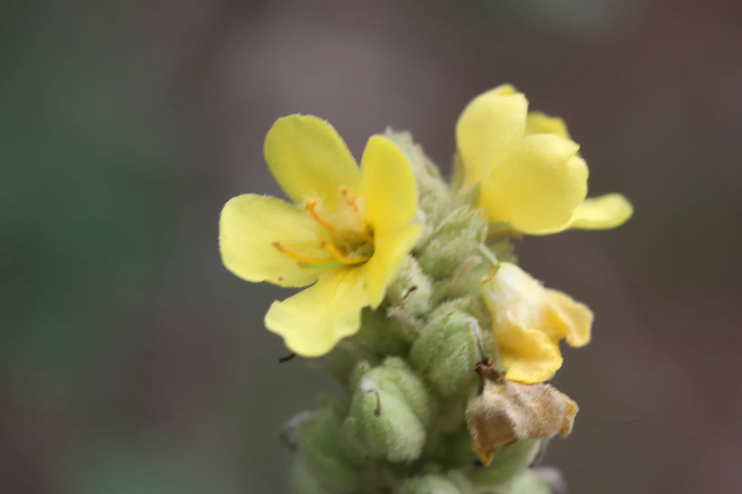
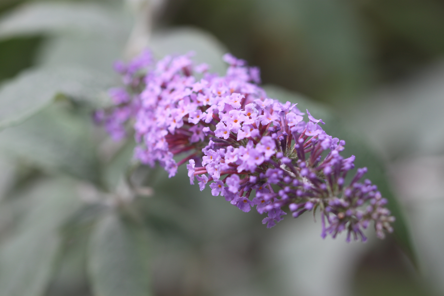
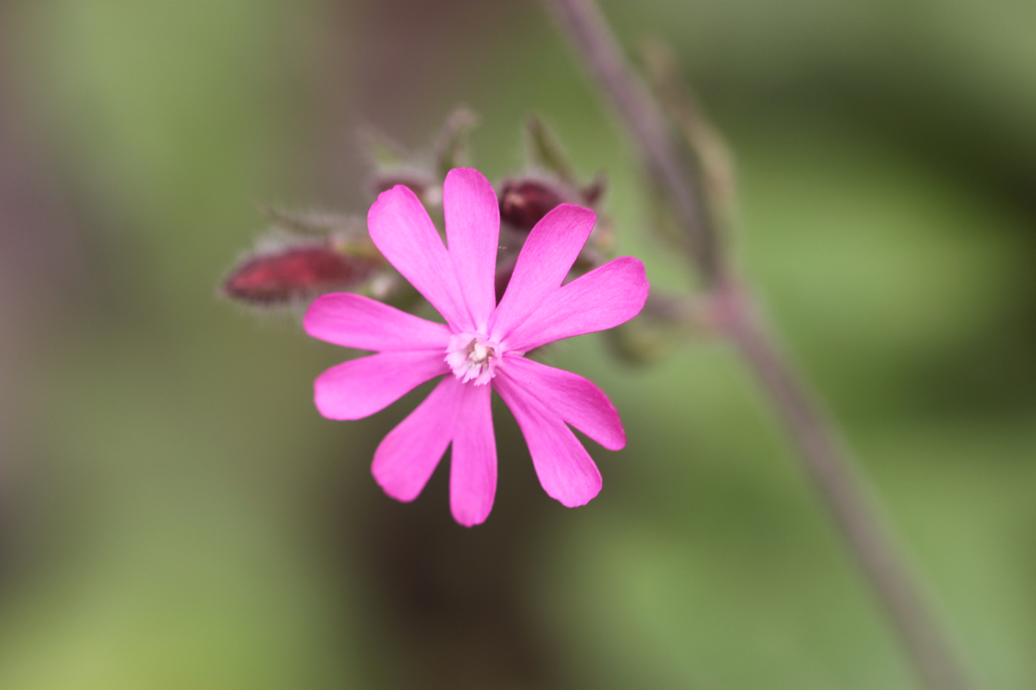
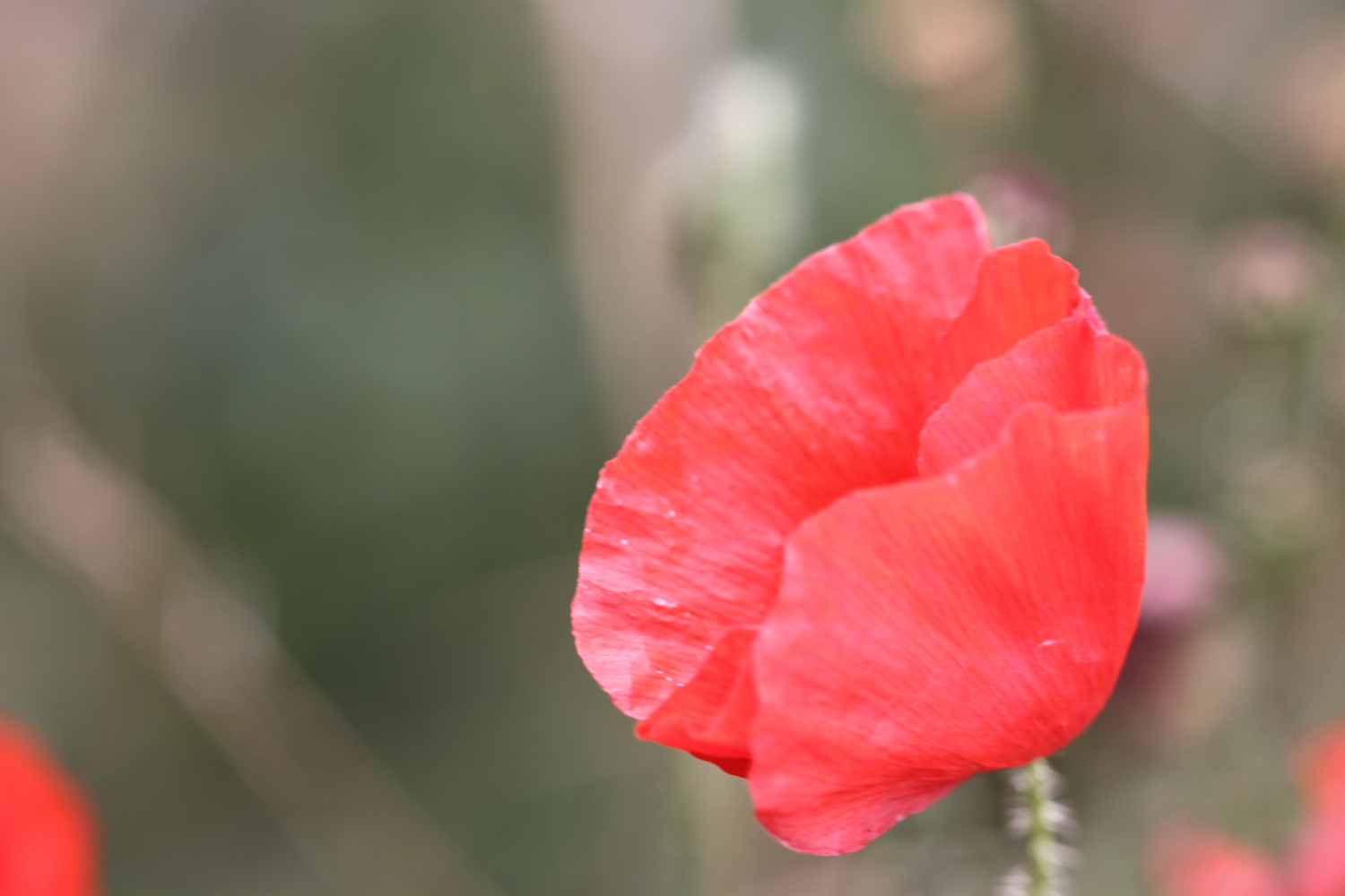
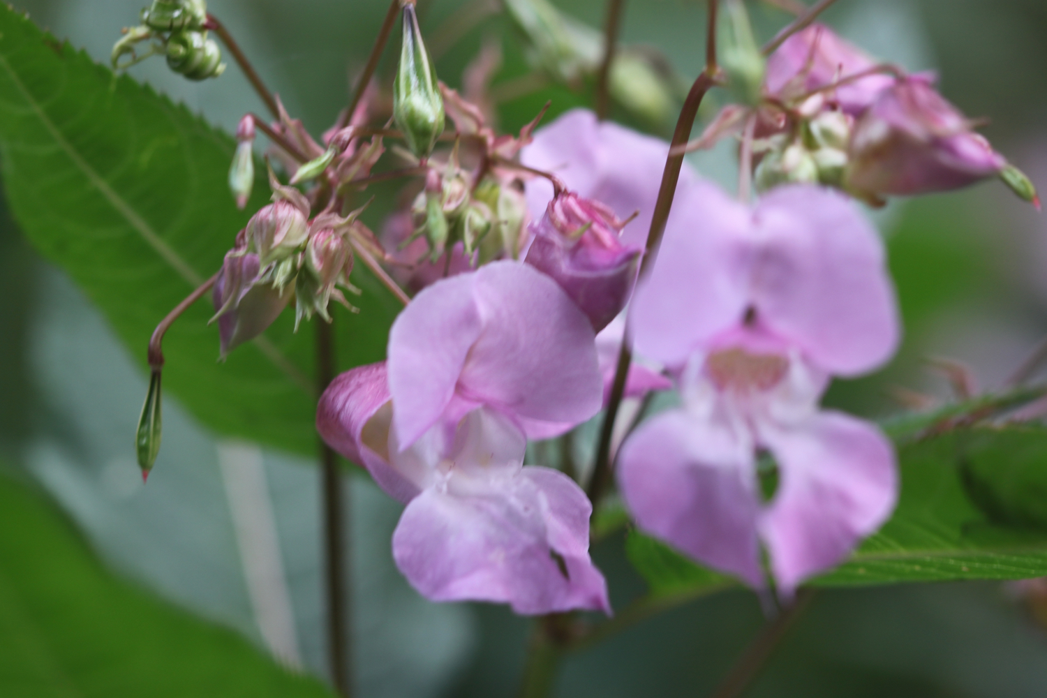
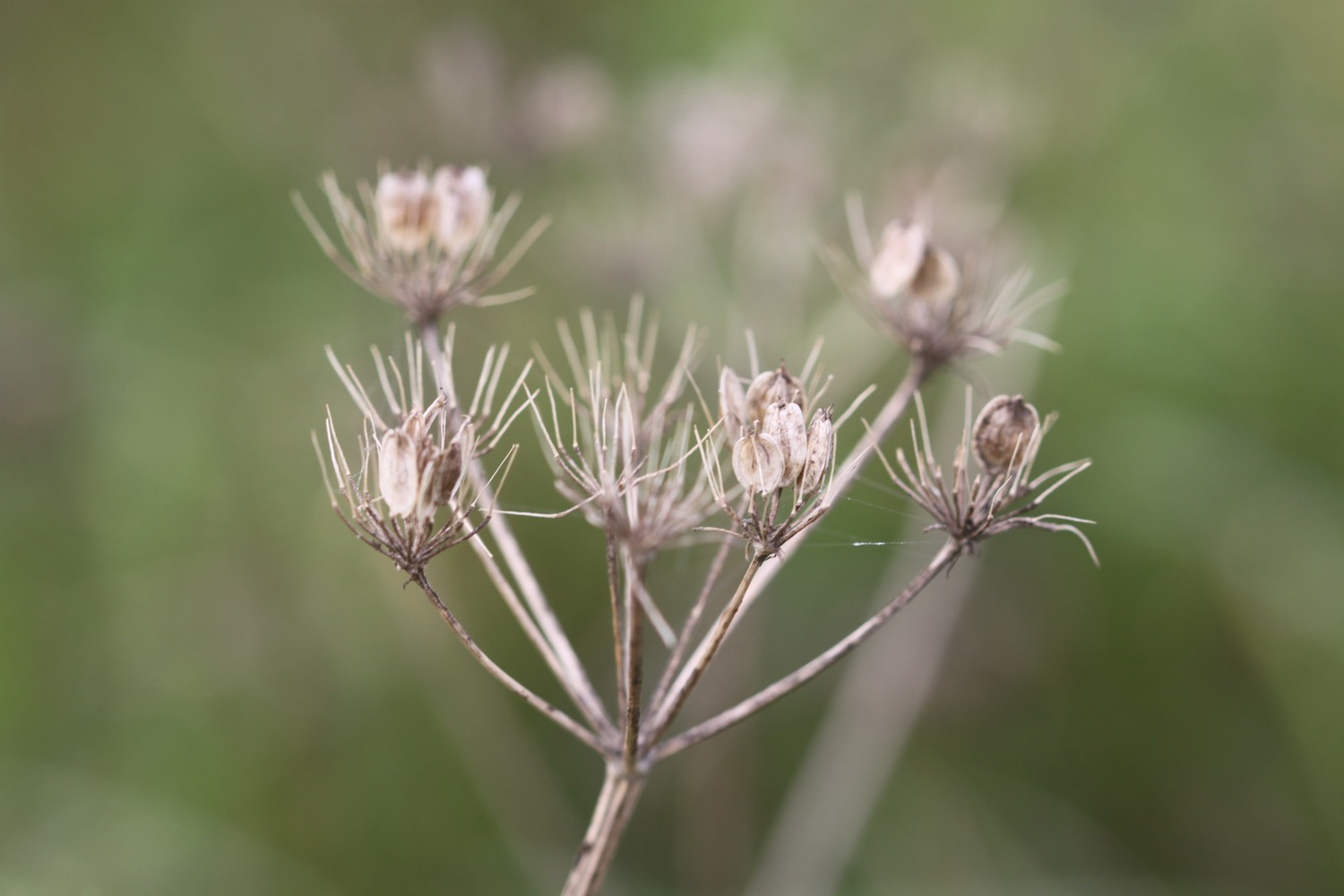
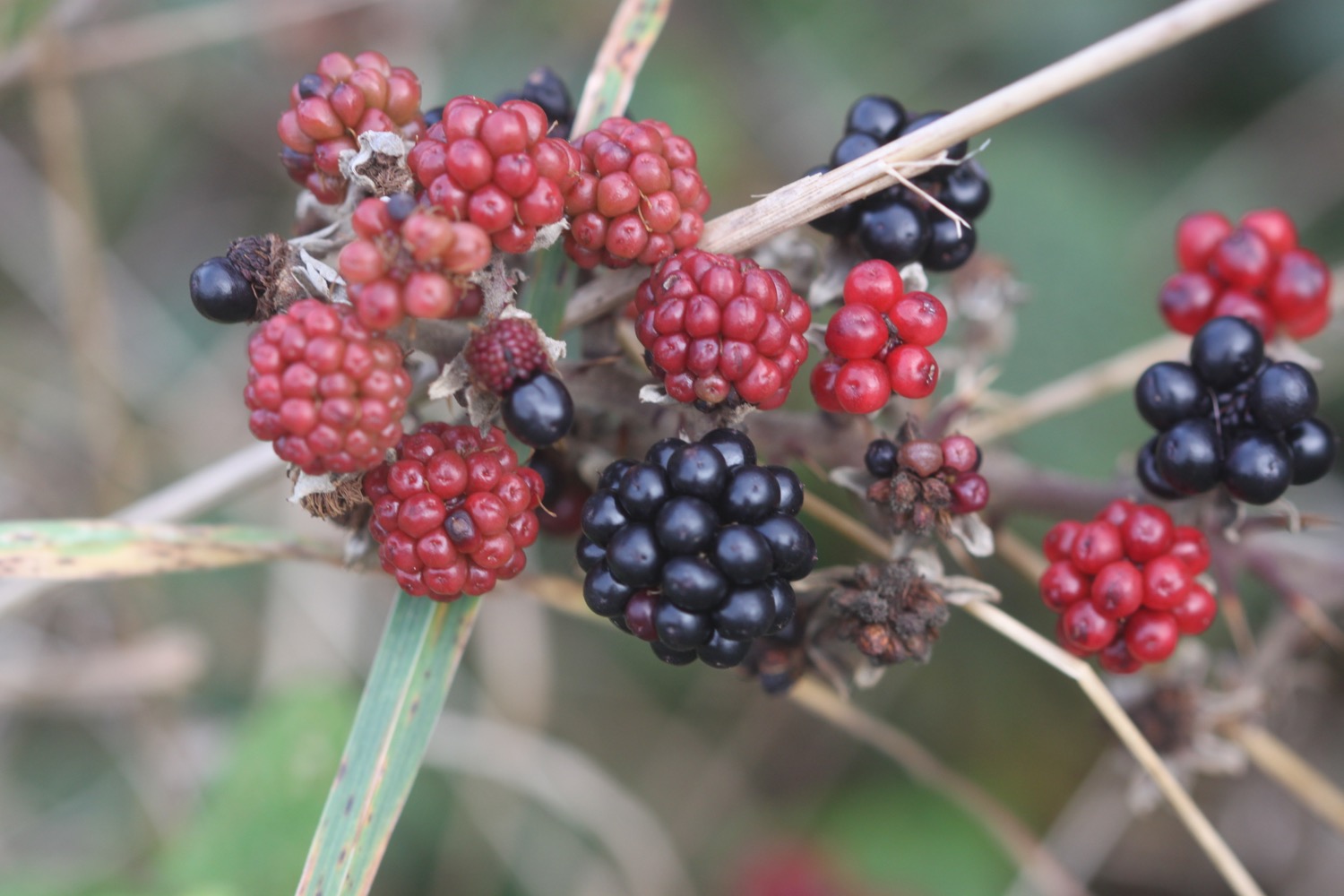
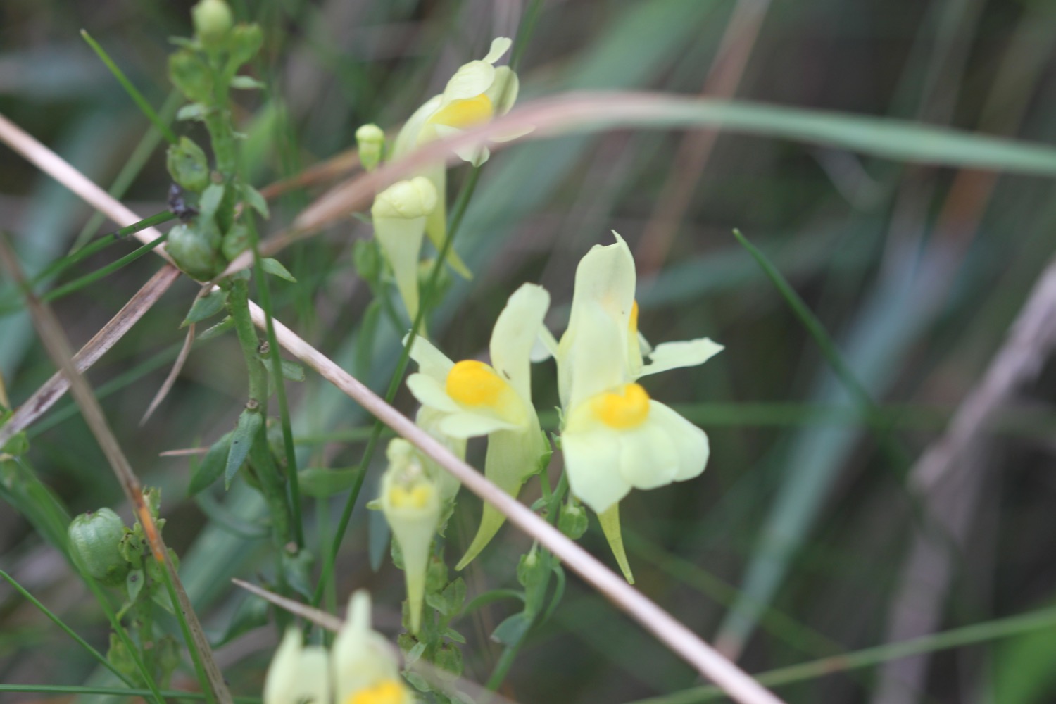
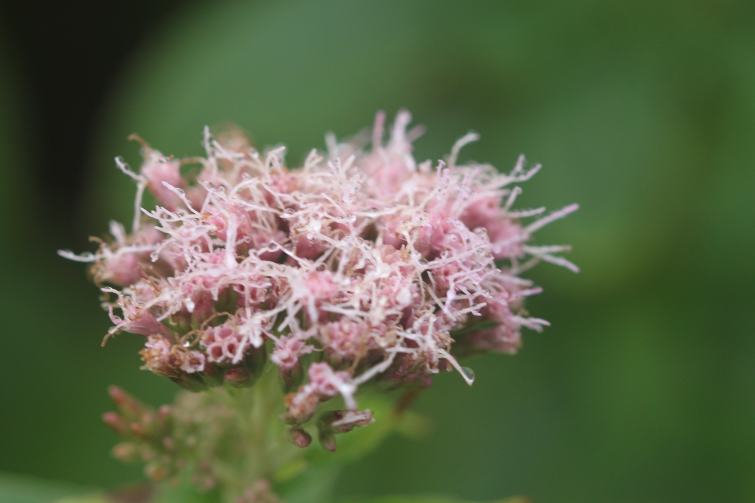
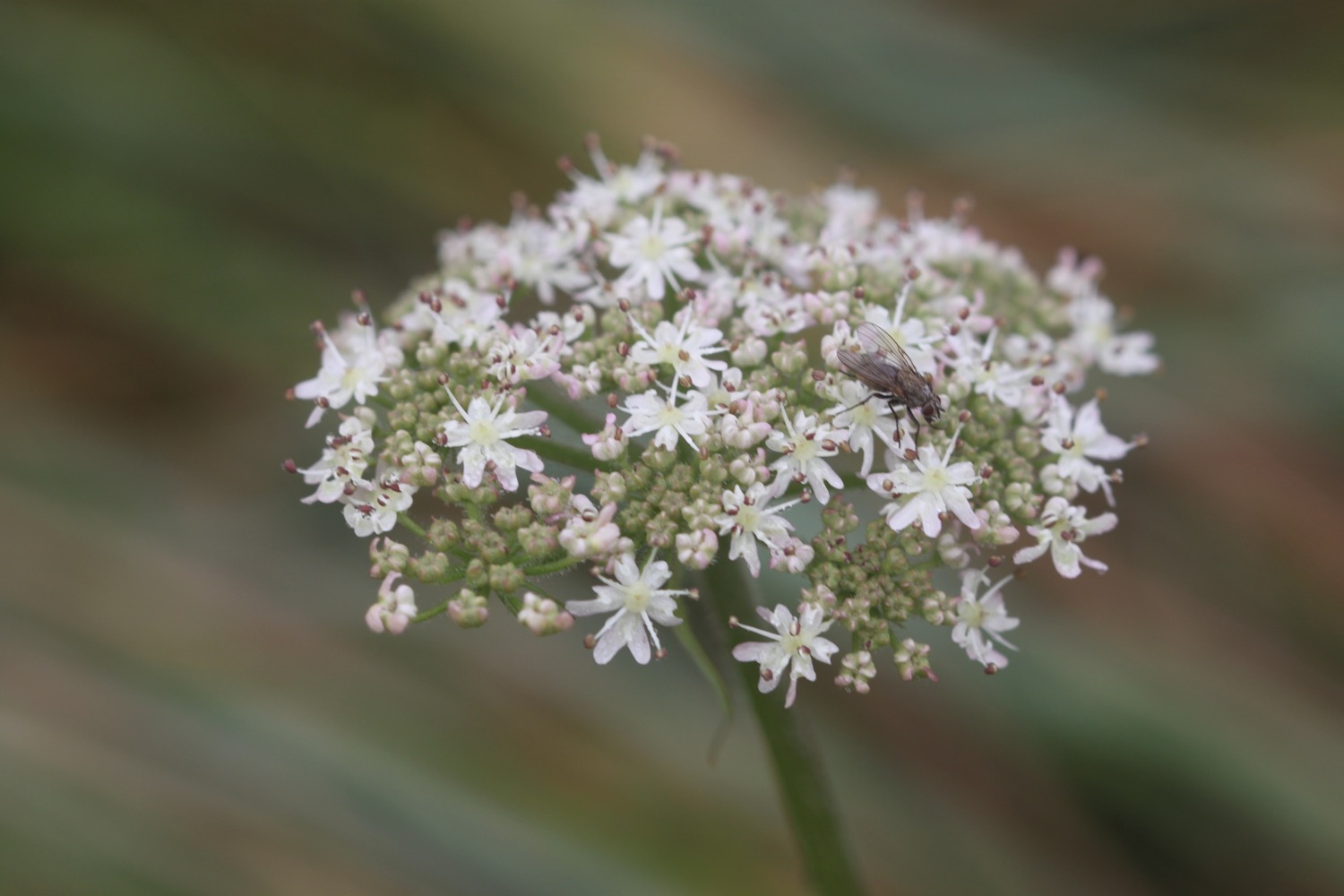
FLORA AND FAUNA
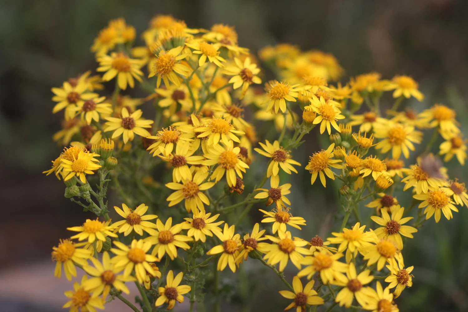
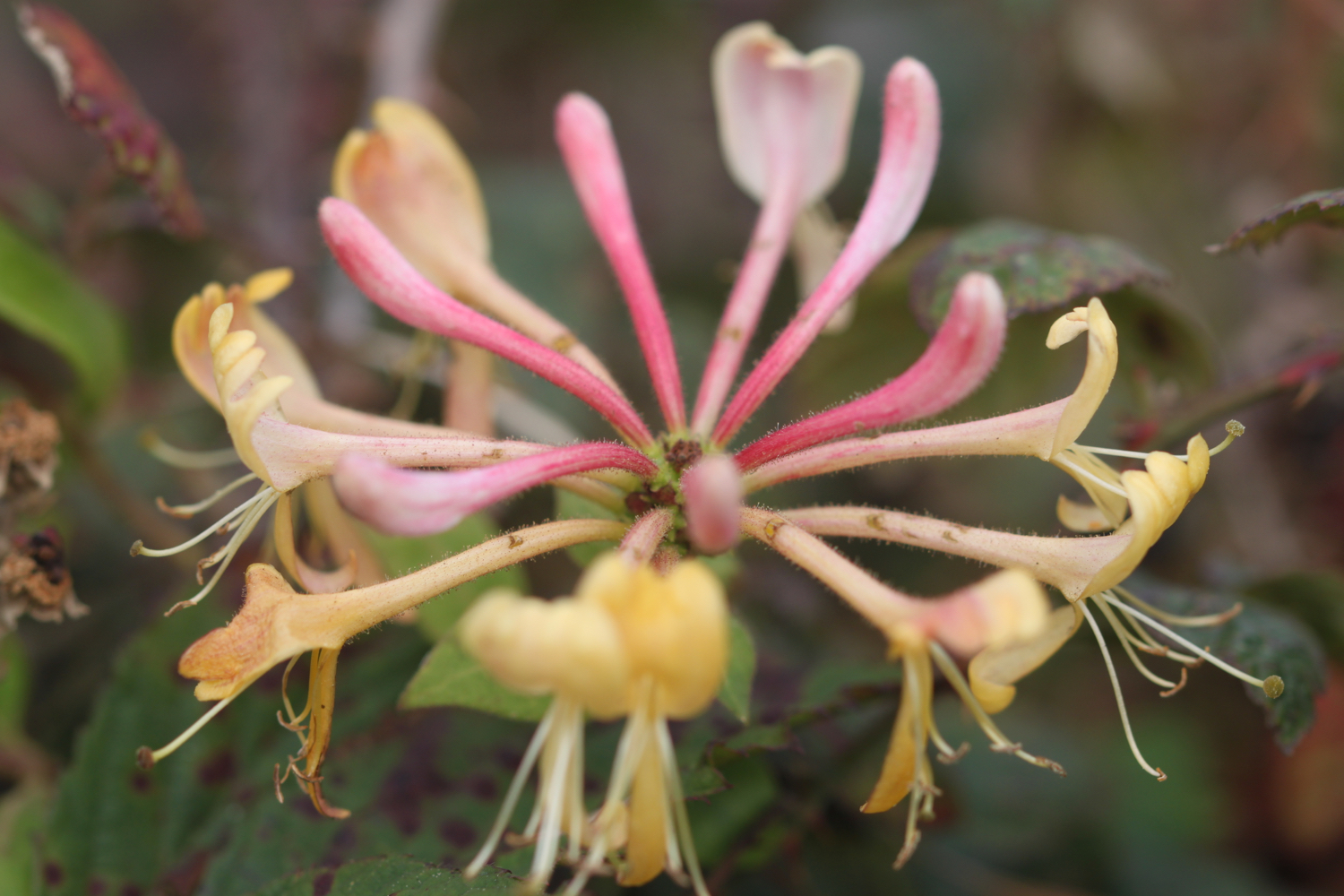
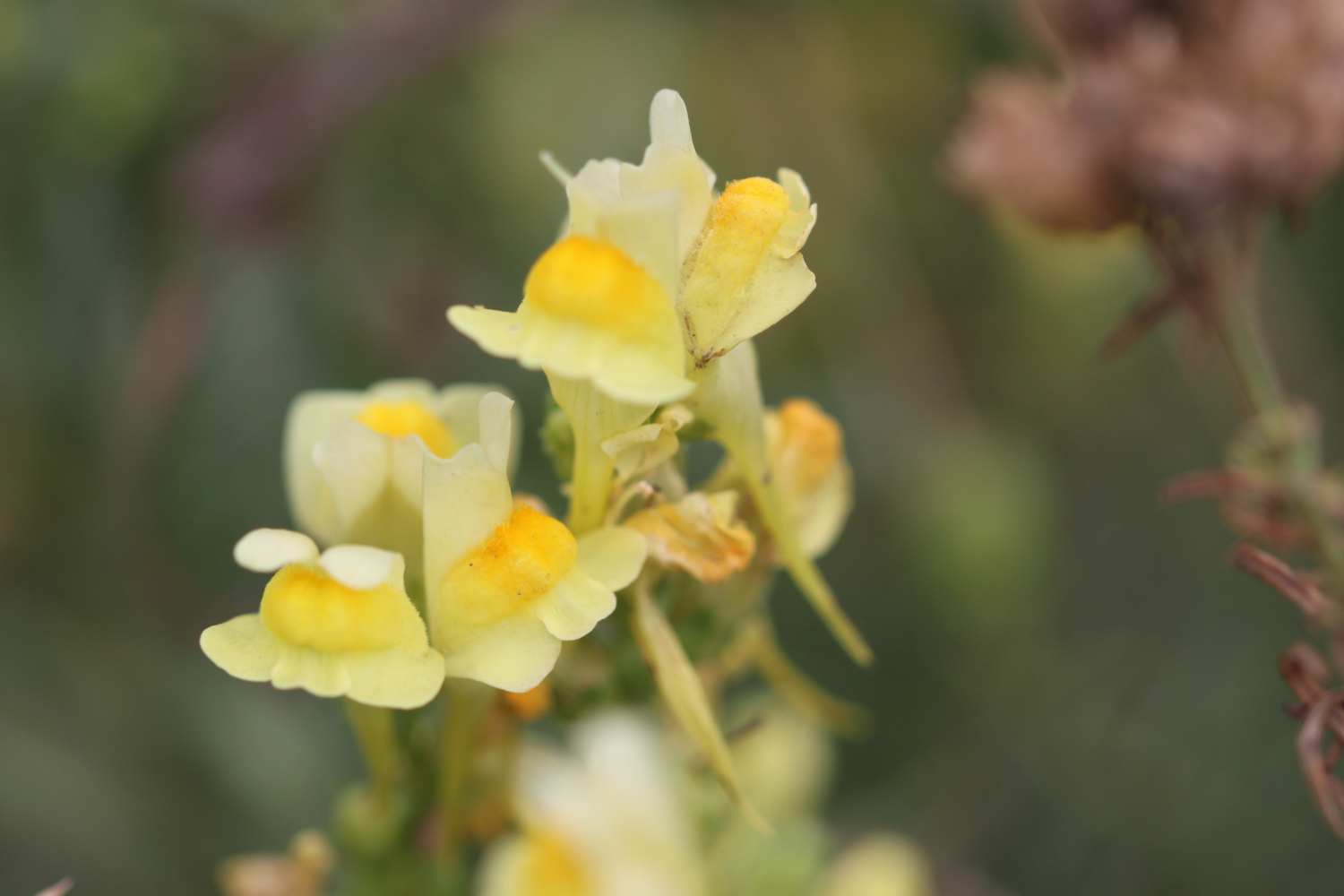
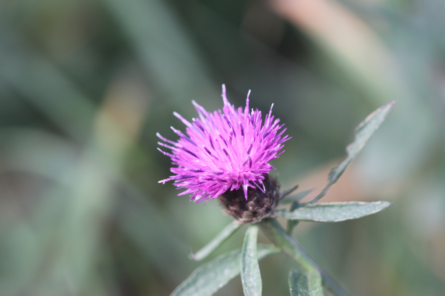
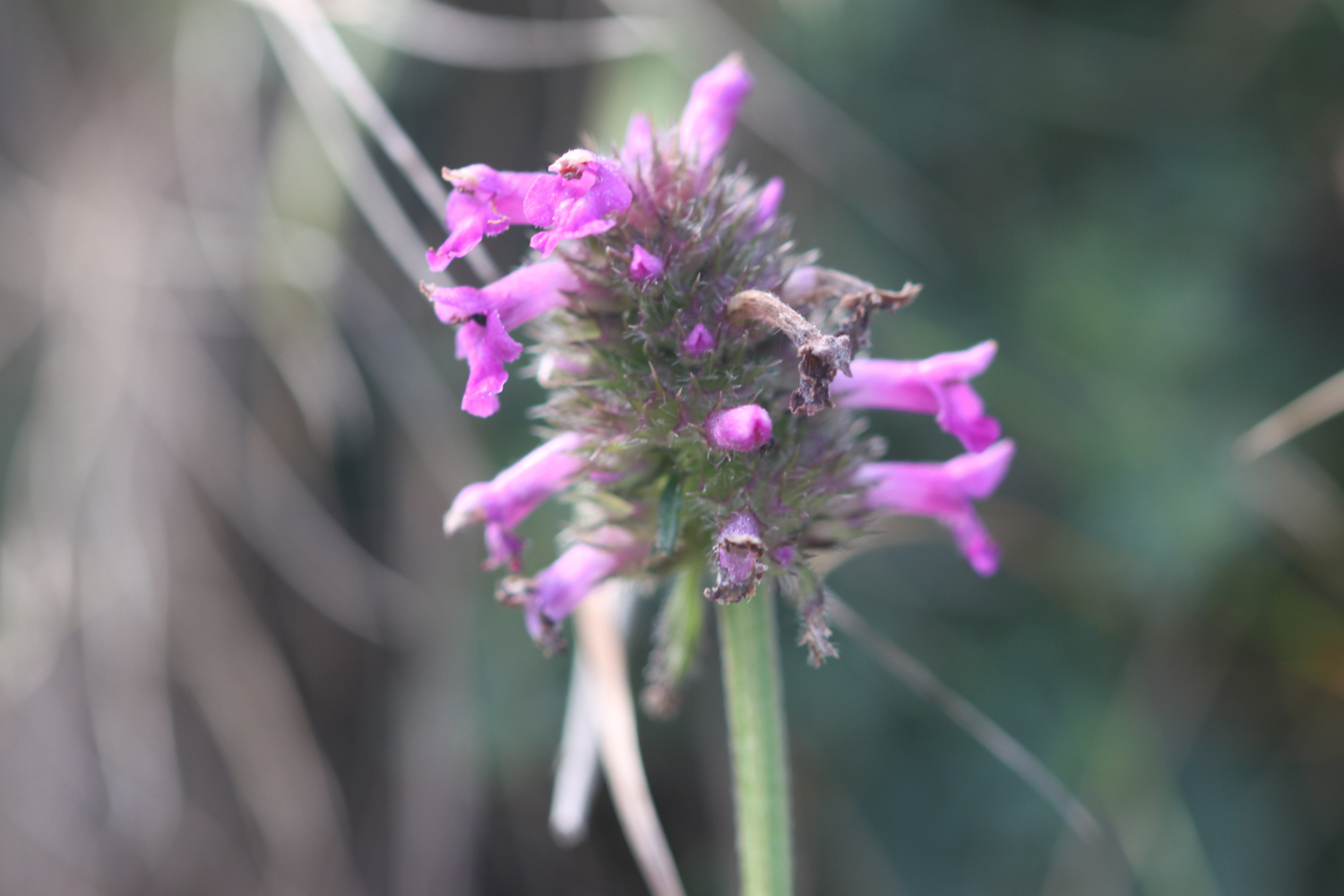
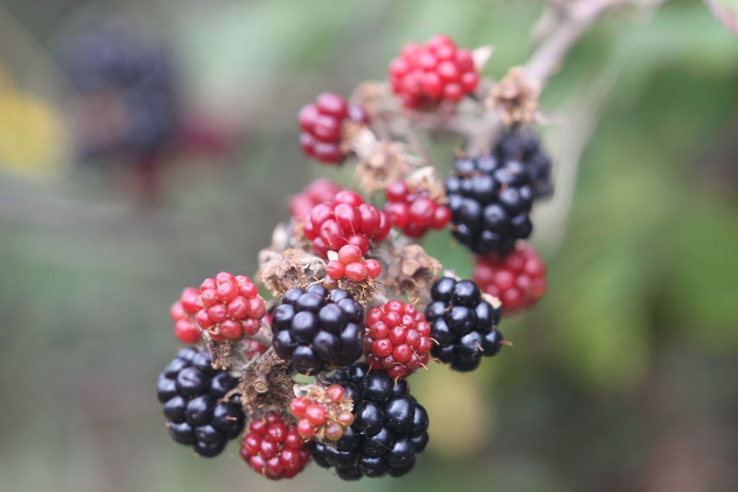
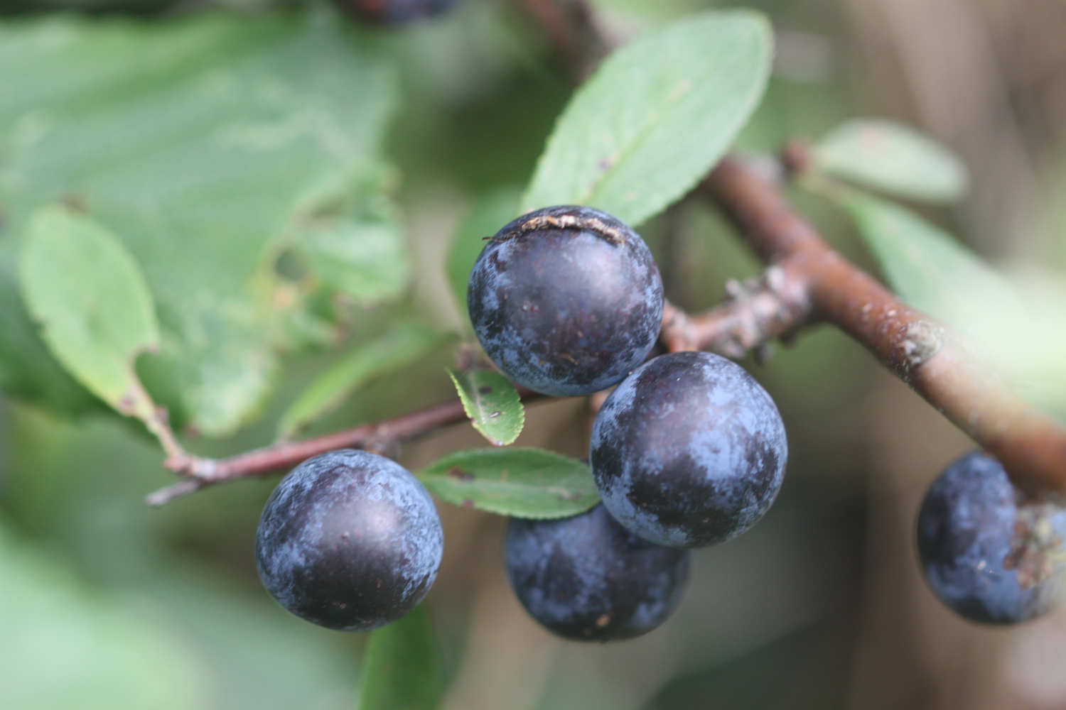
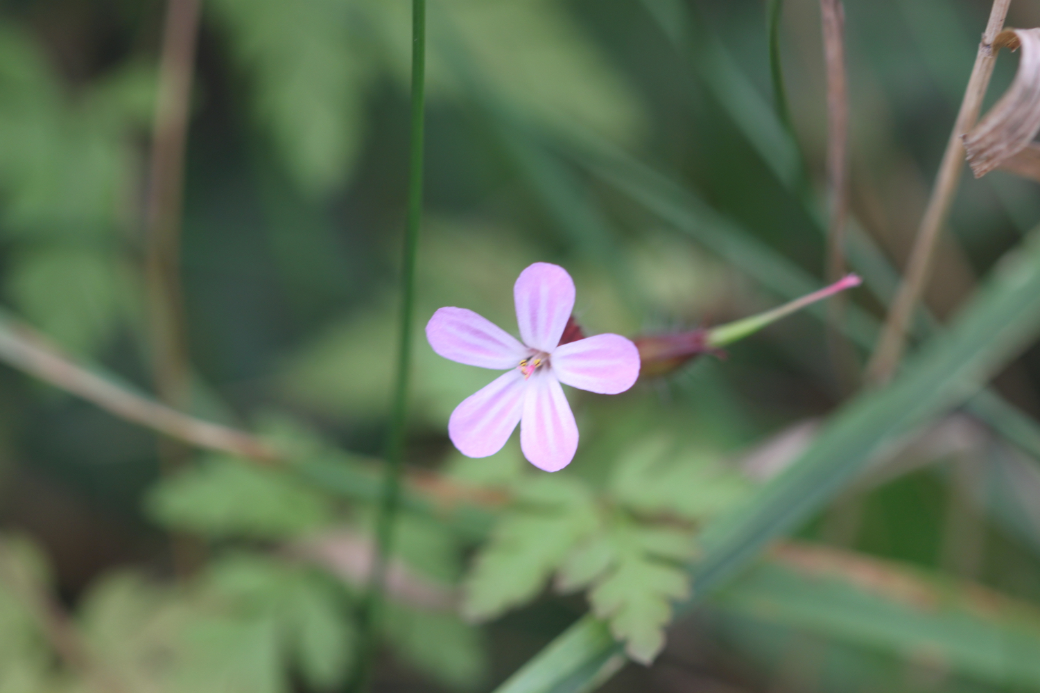
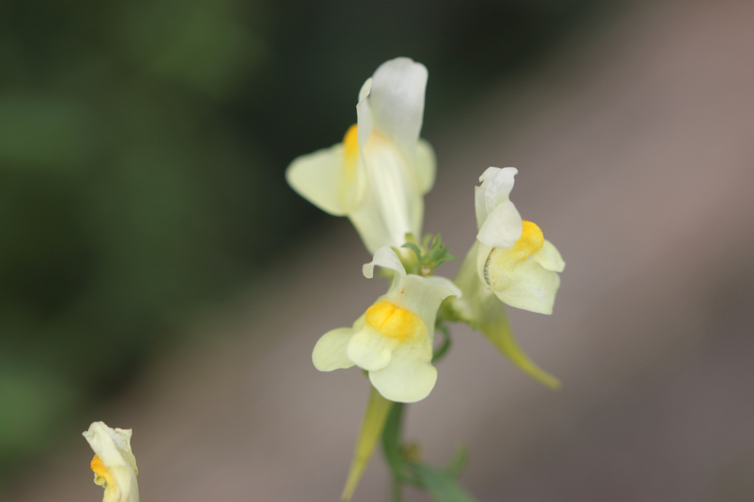
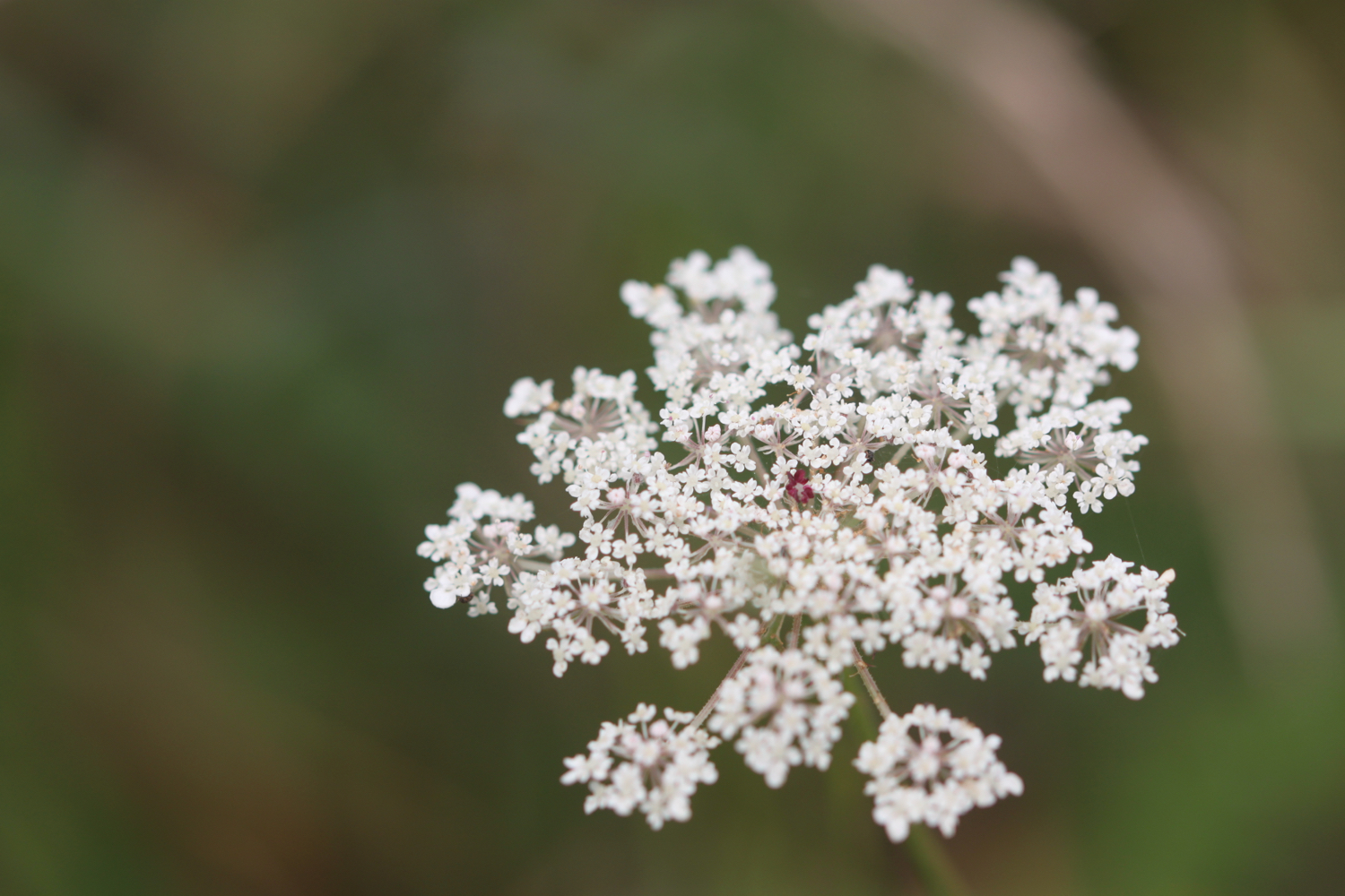
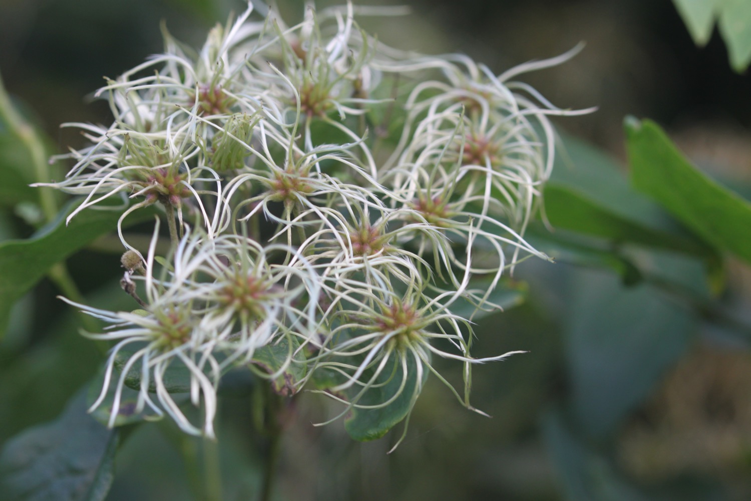
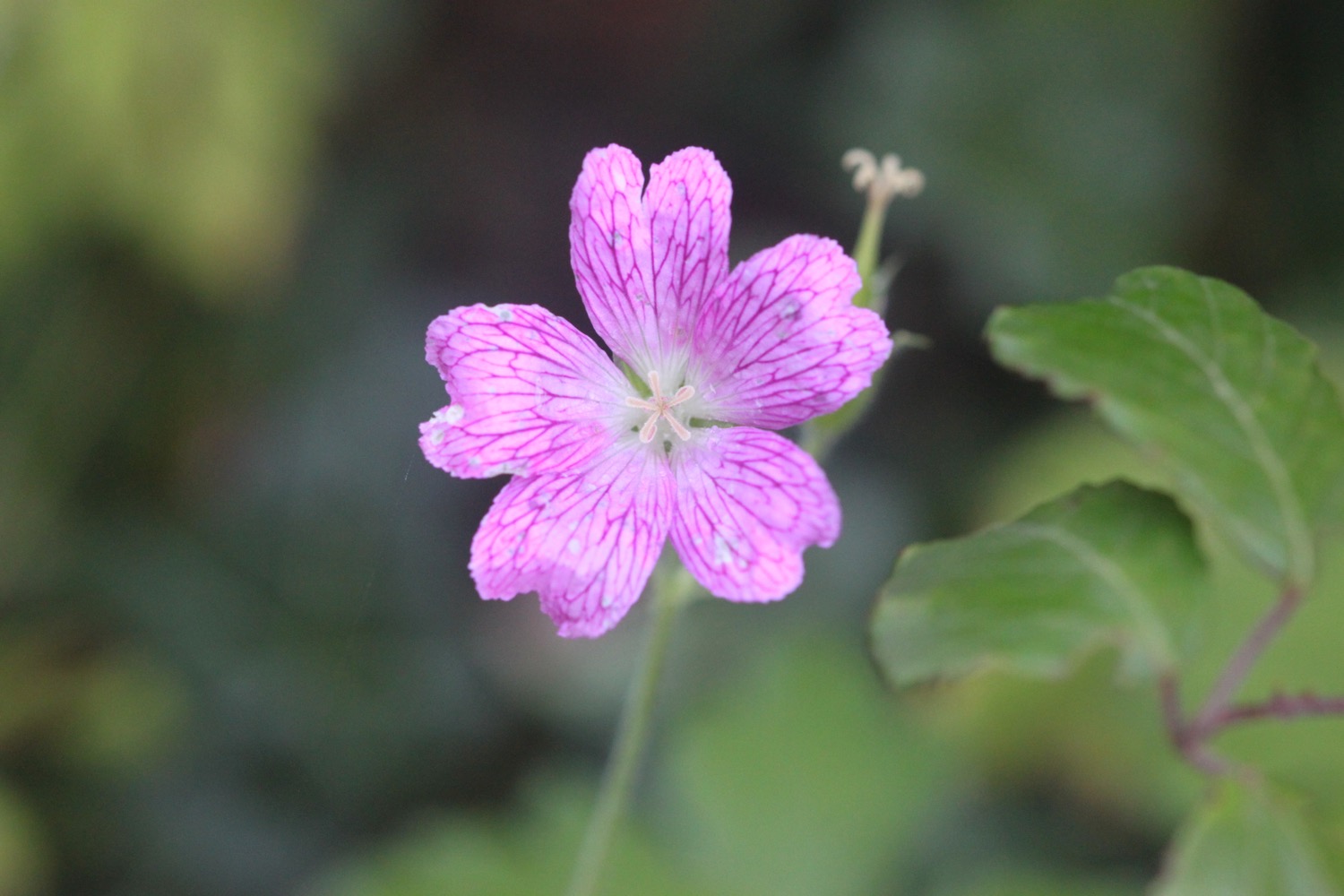
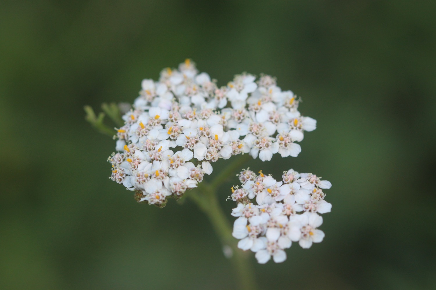
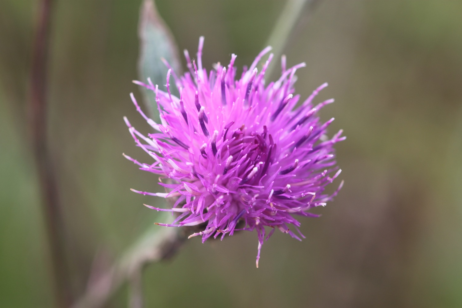
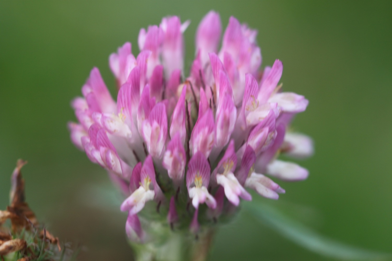
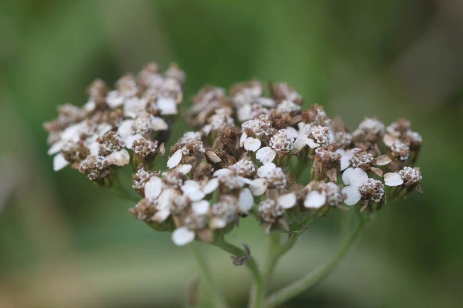
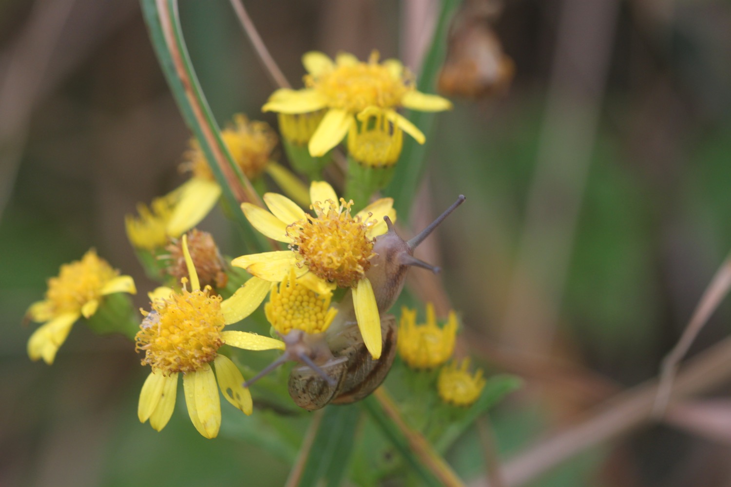
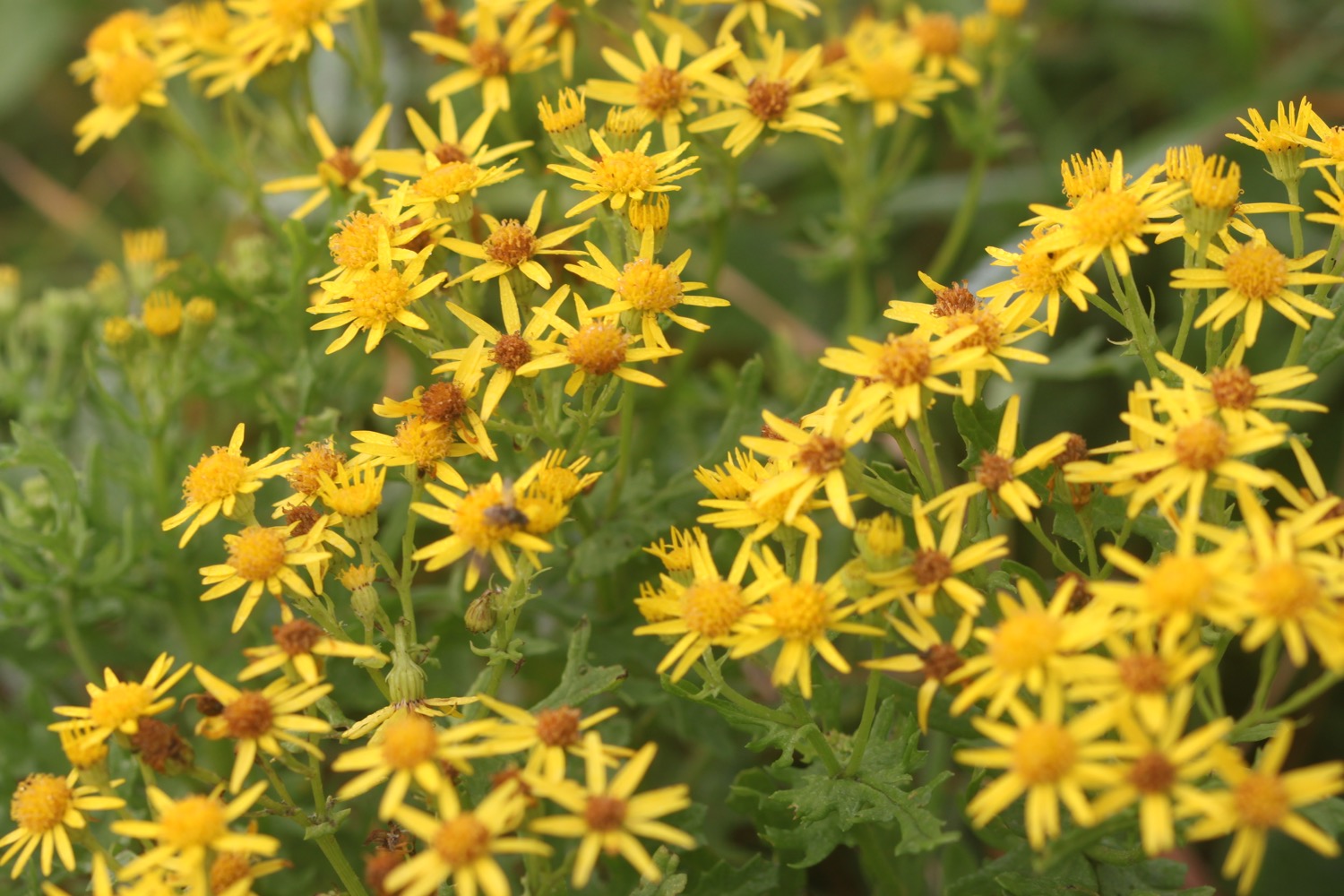
Flora and fauna encountered on the walk today includes :-
pheasants
wall butterfly
small copper butterfly
oystercatchers
stonechats
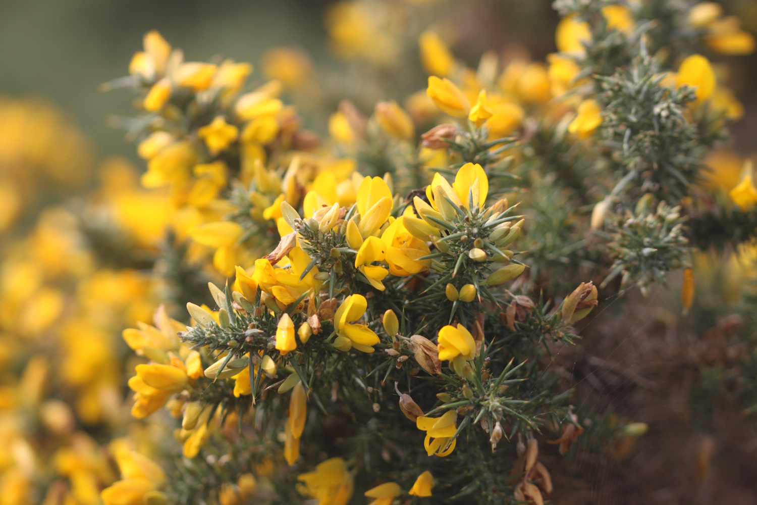
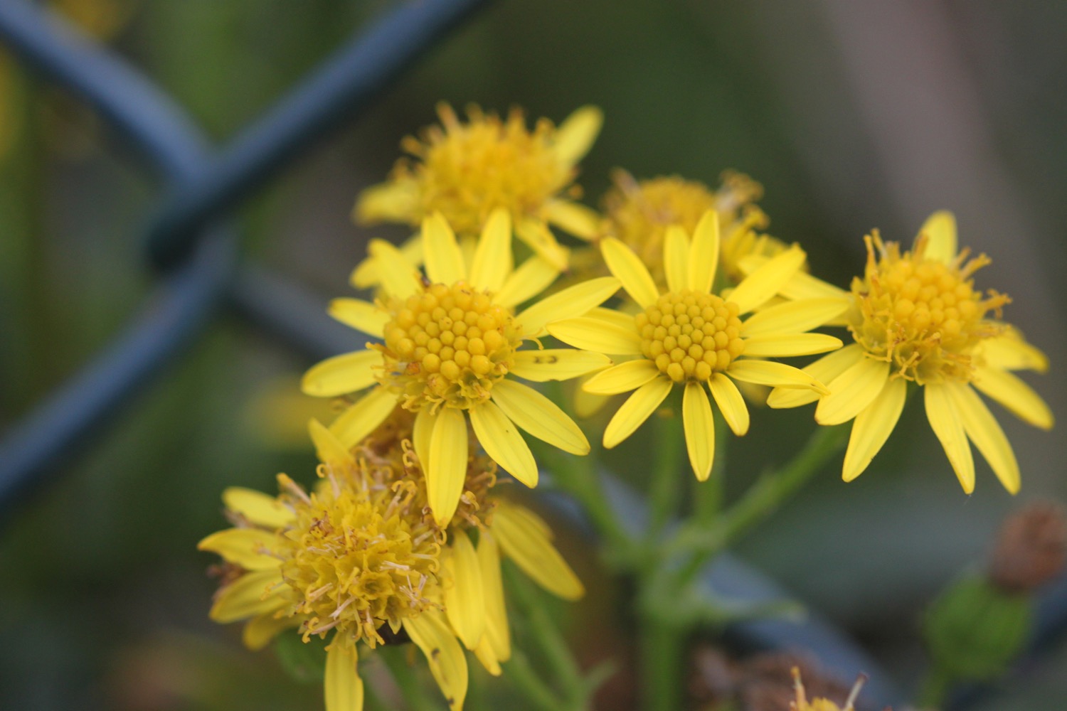
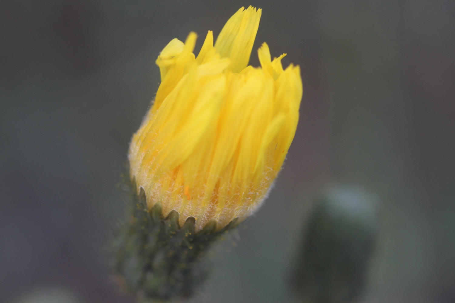
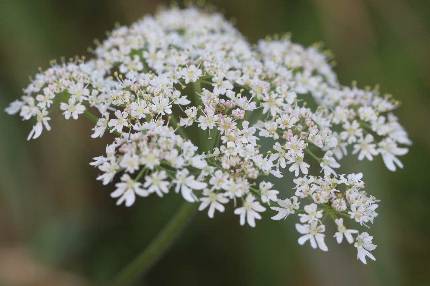
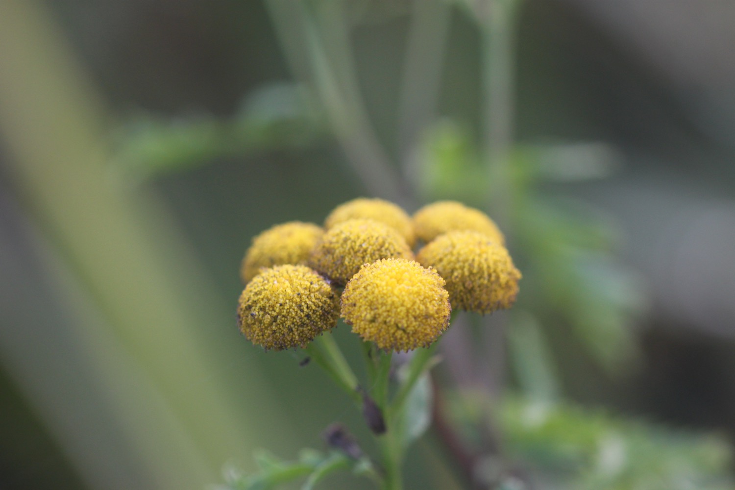
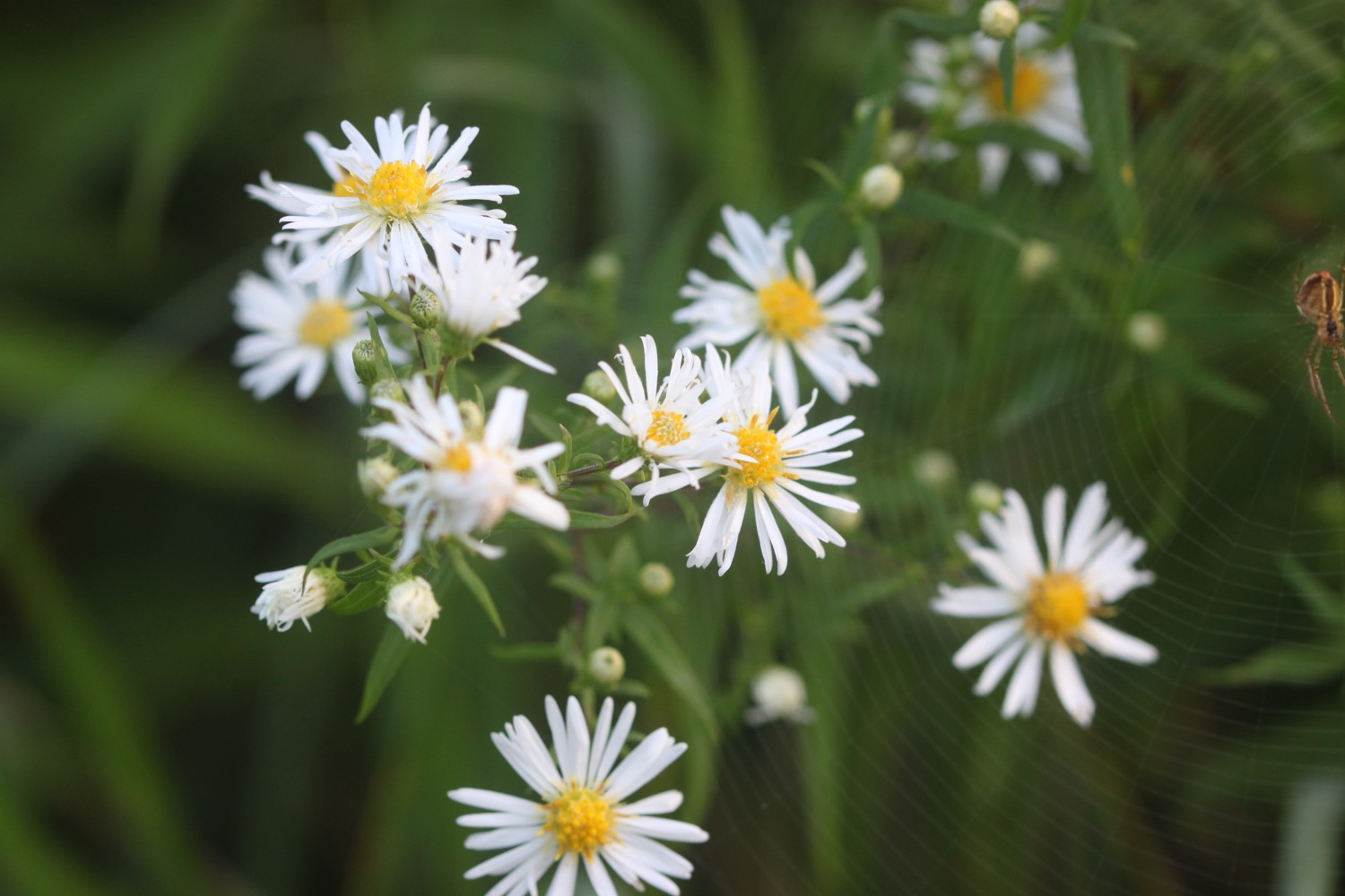
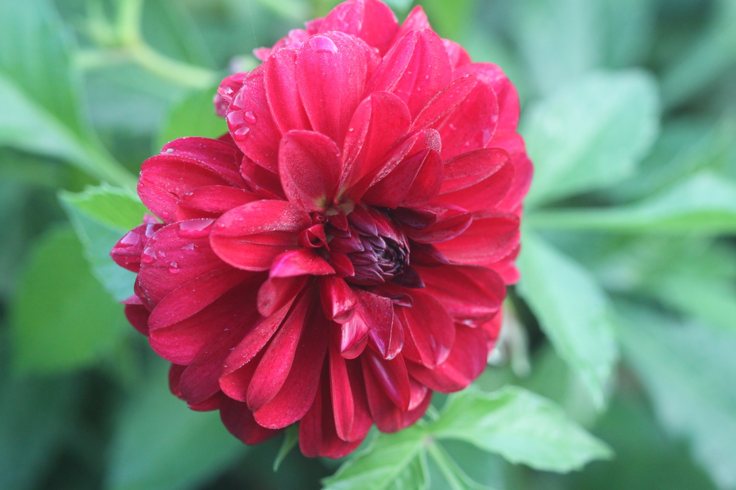
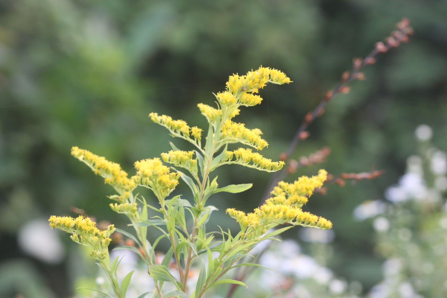
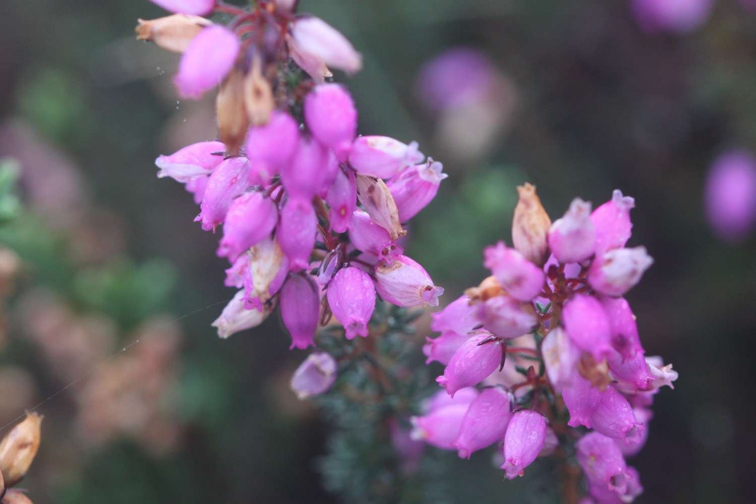
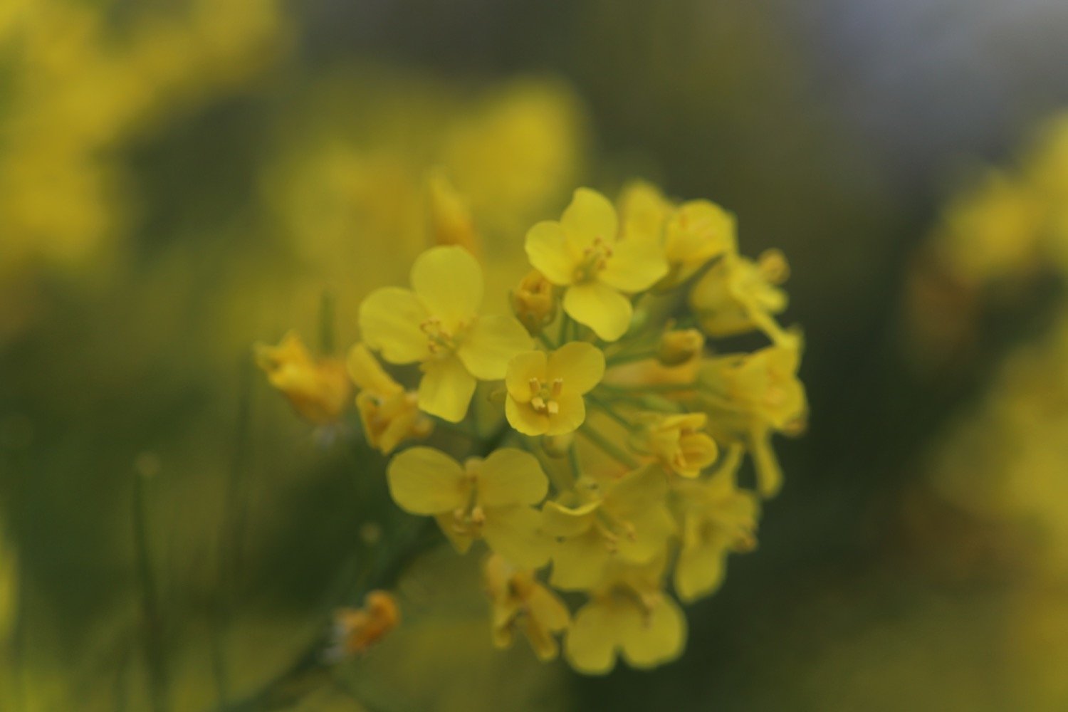
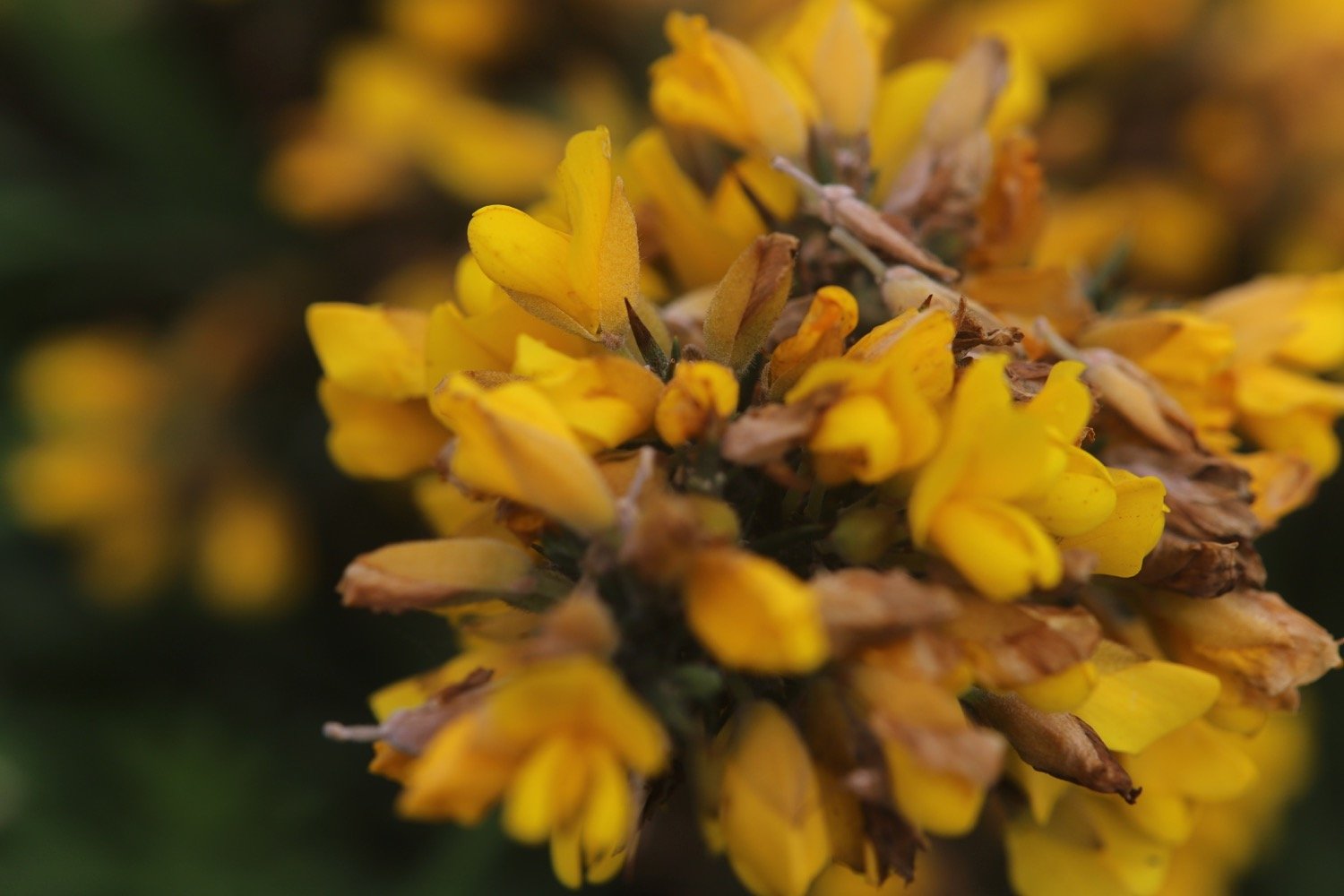
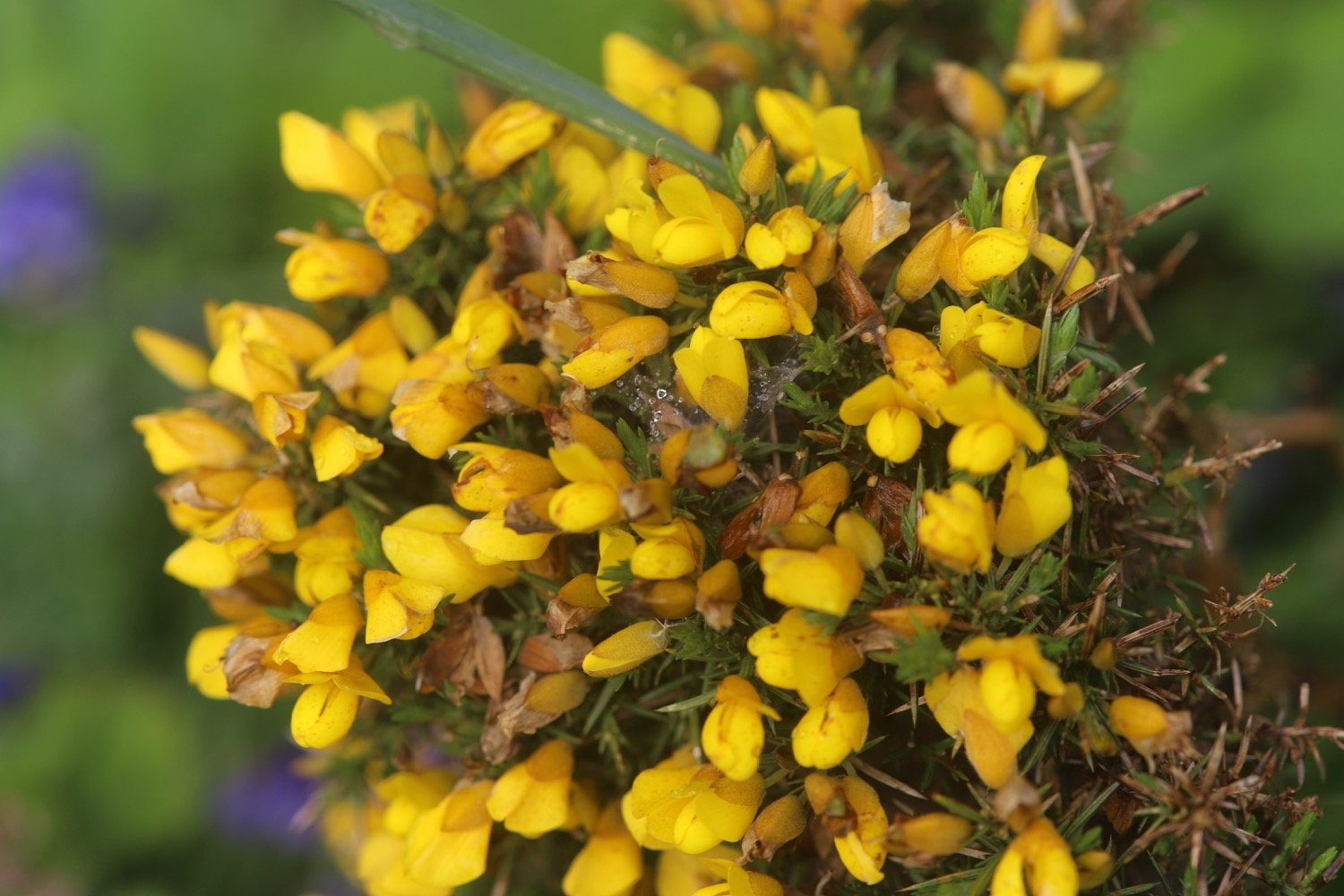
gorse
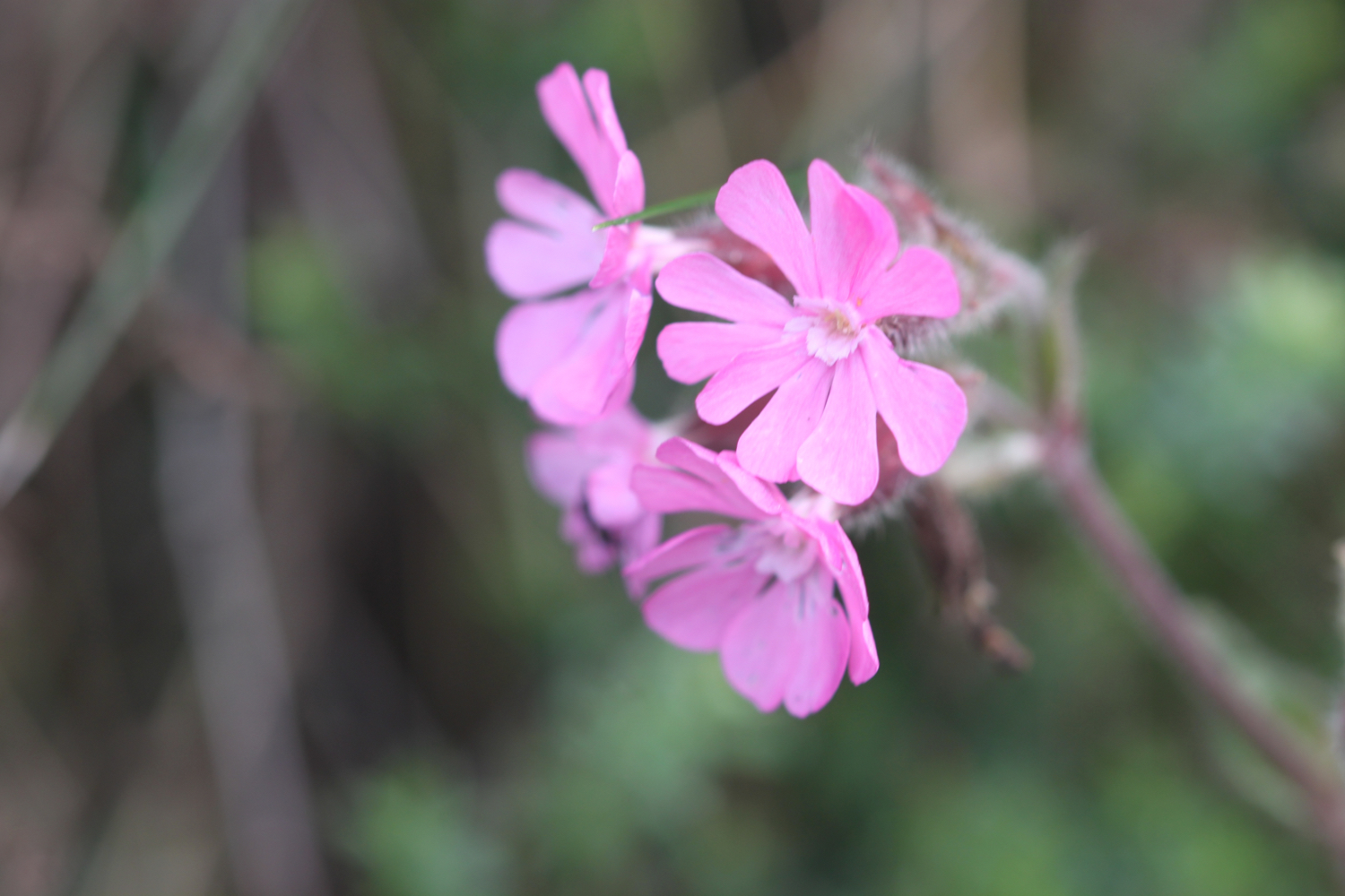
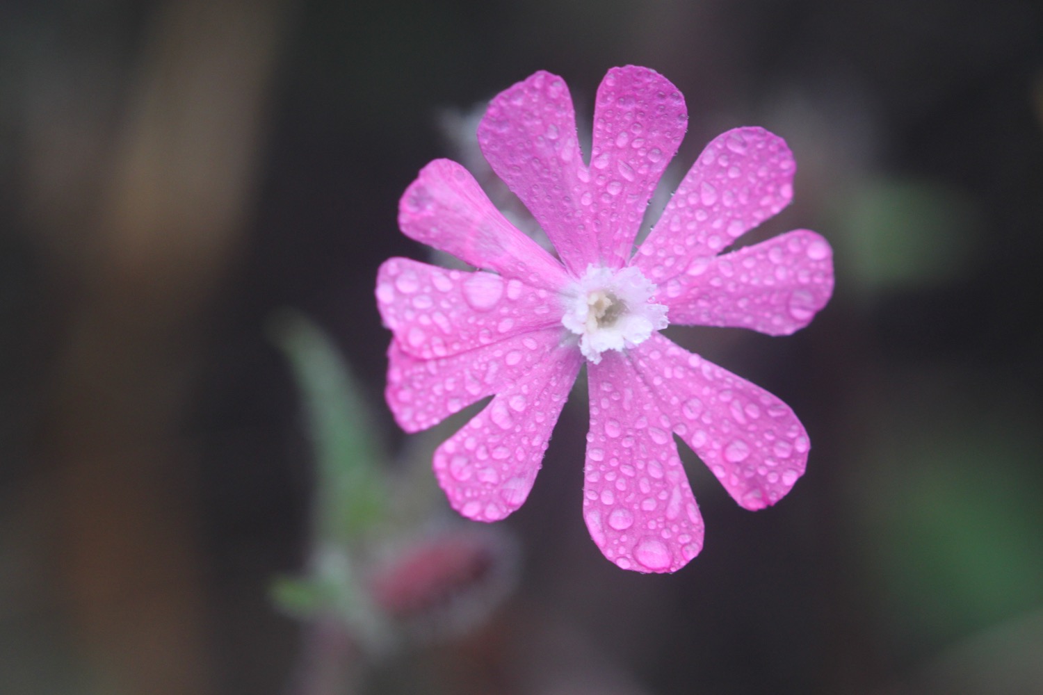
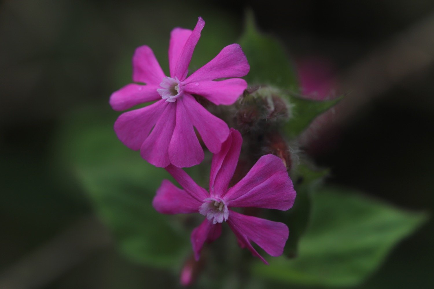
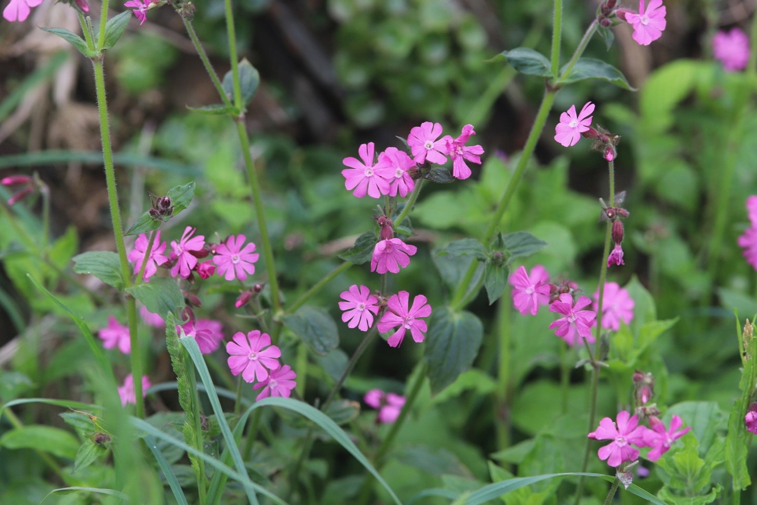
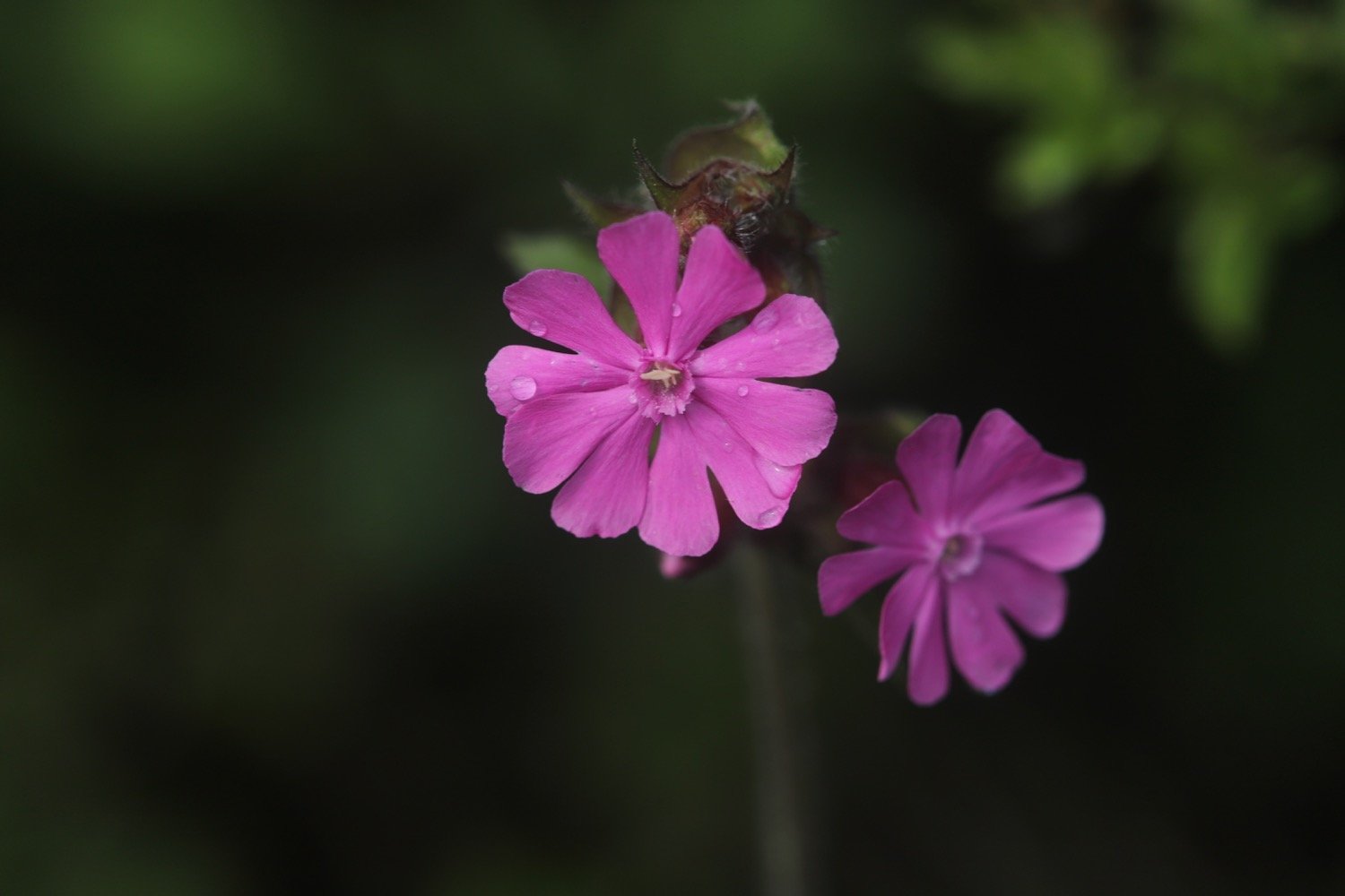
red campion
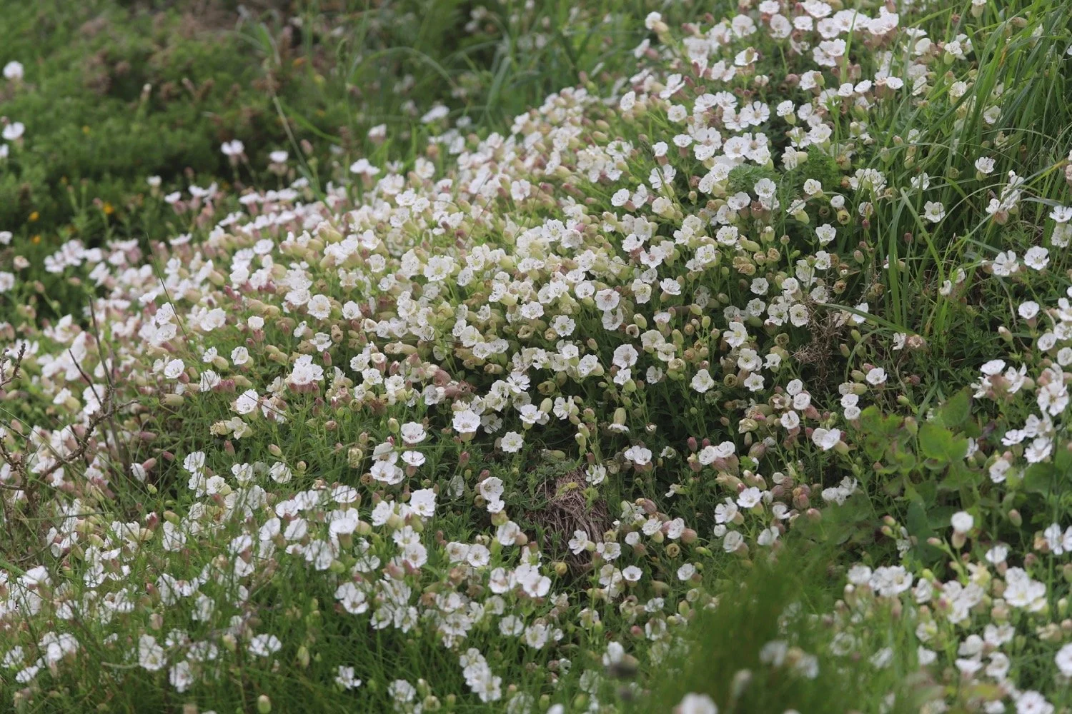
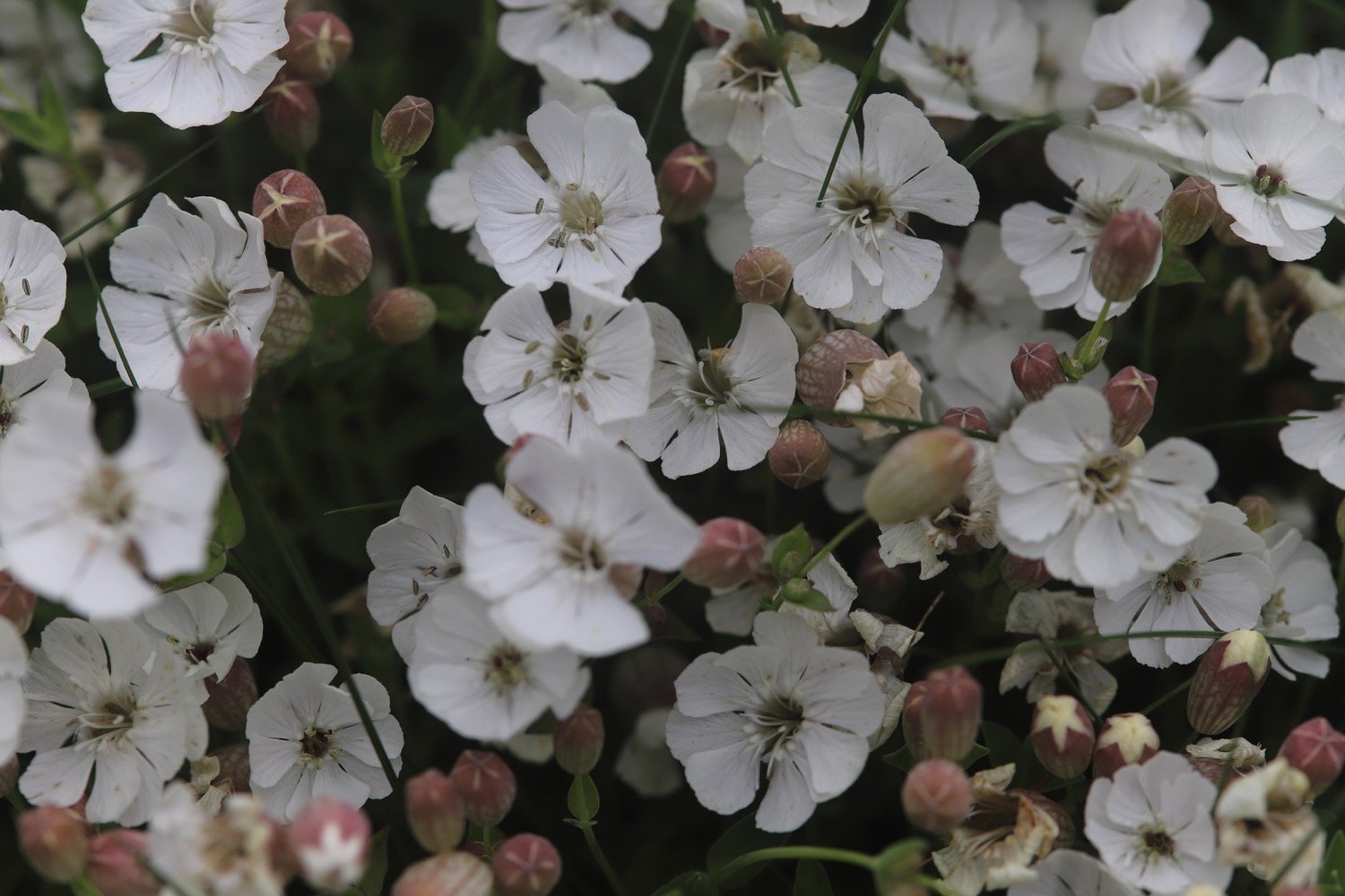
bladder campion
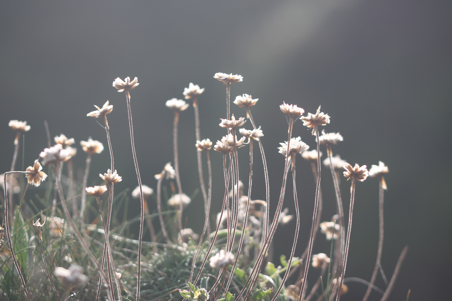
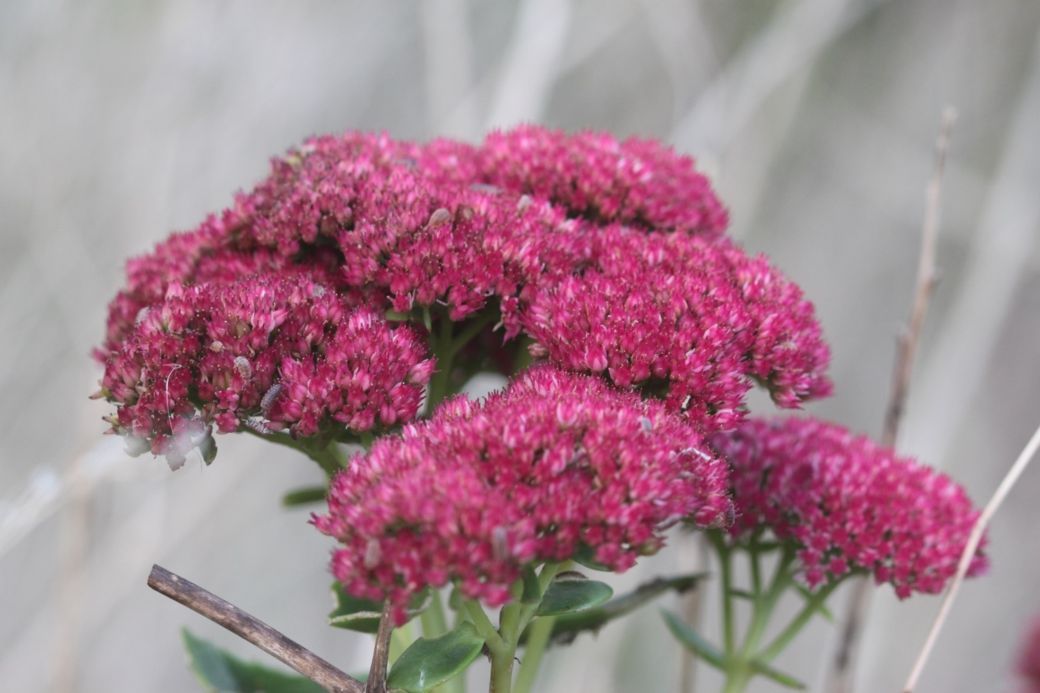
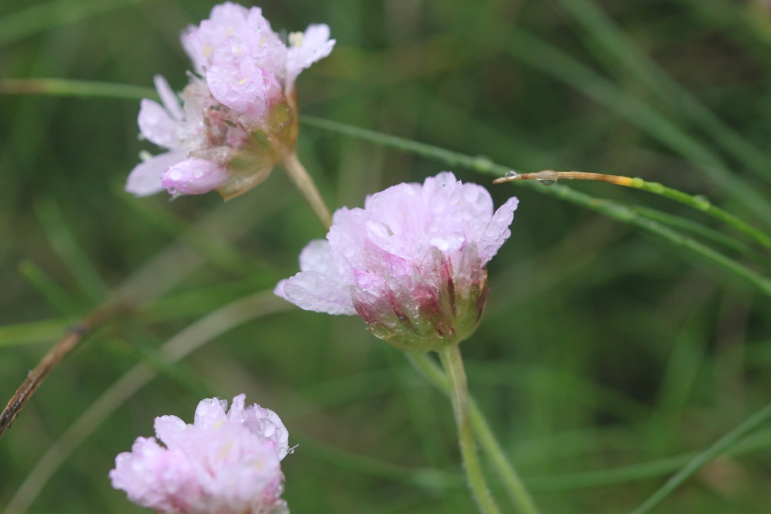
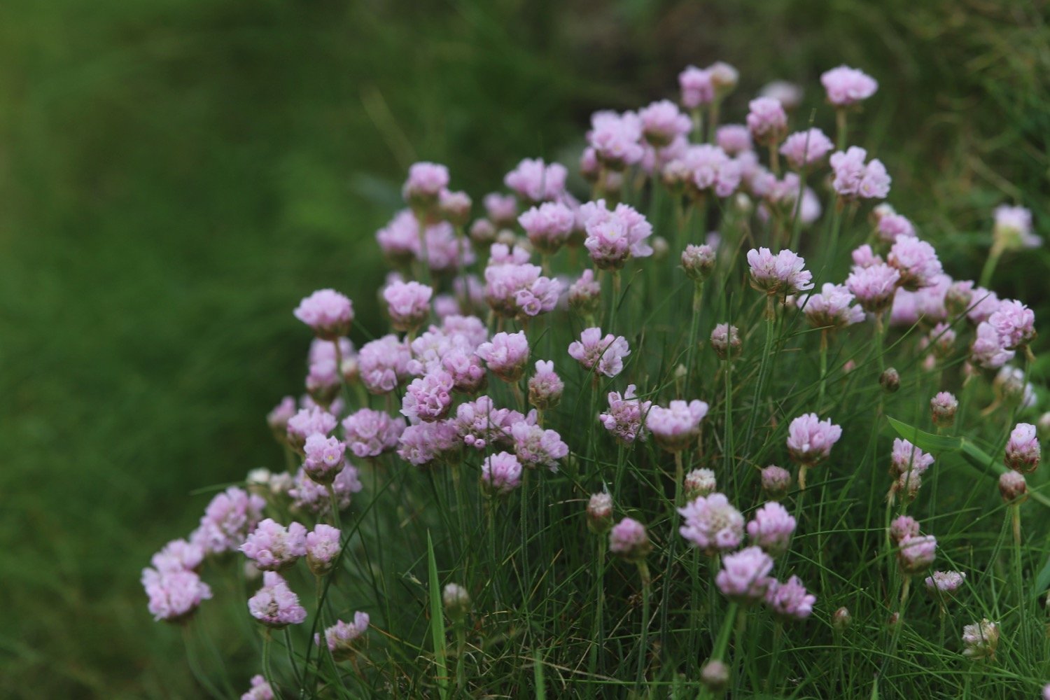
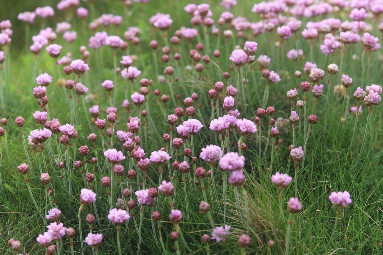
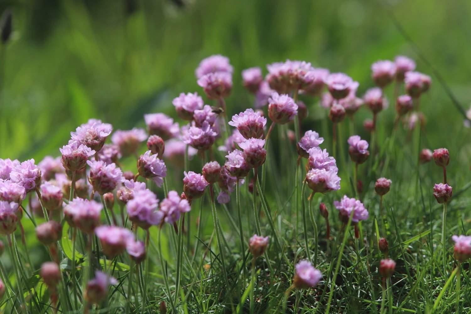
sea thrift
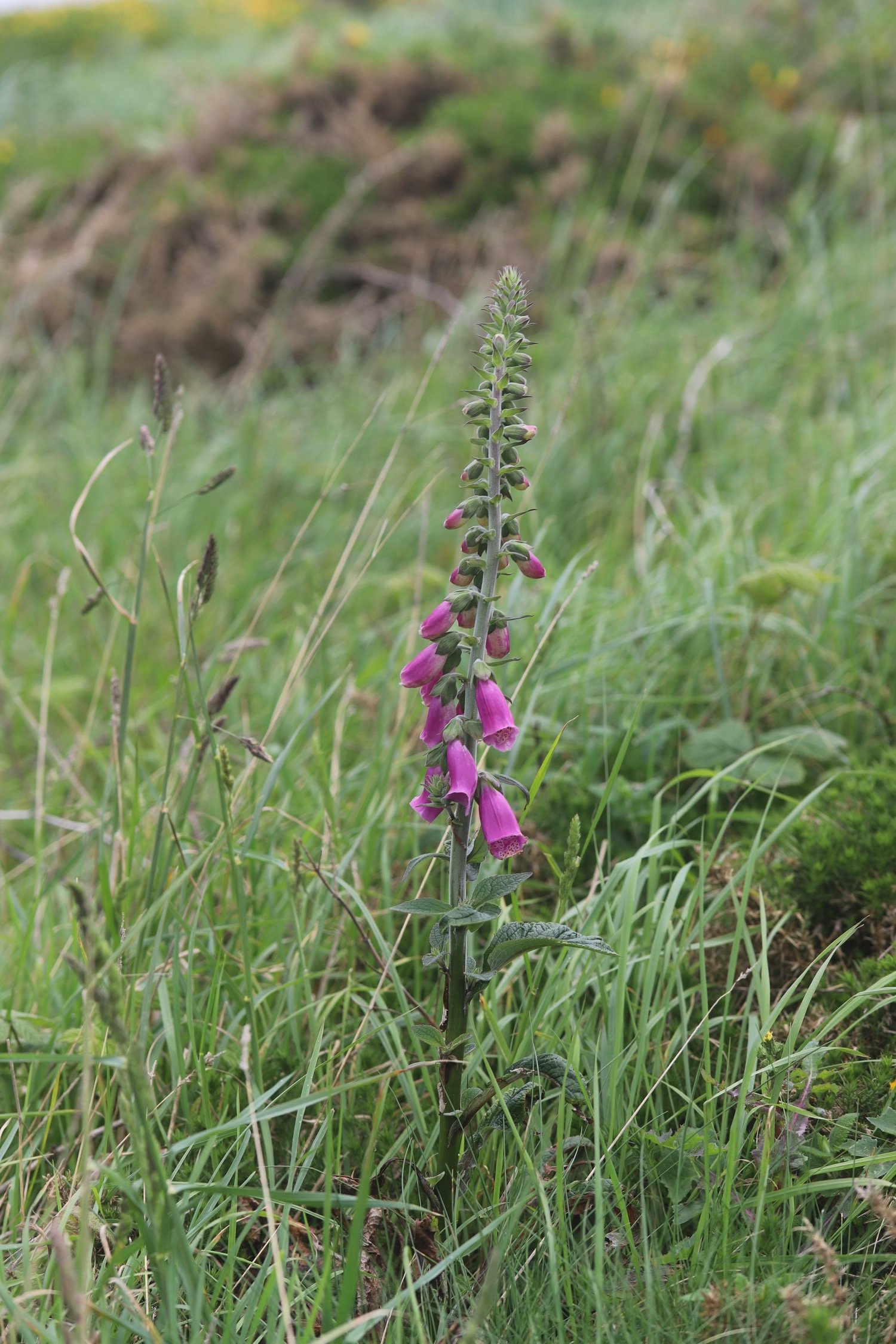
foxgloves
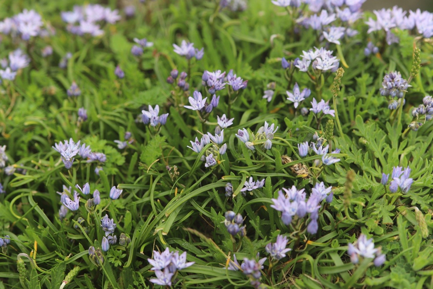
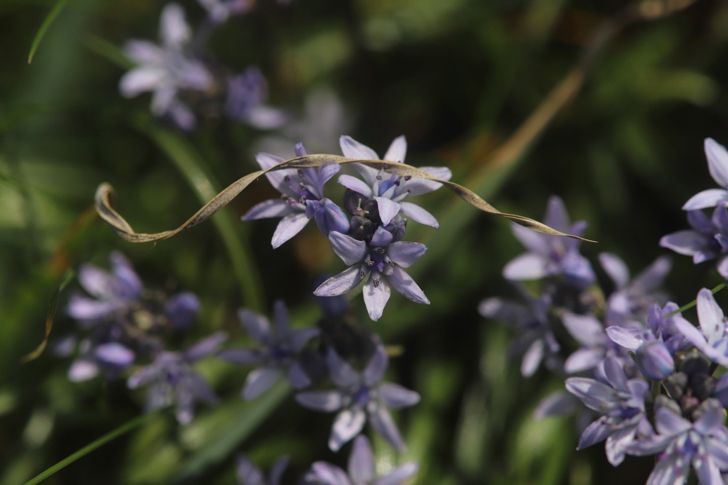
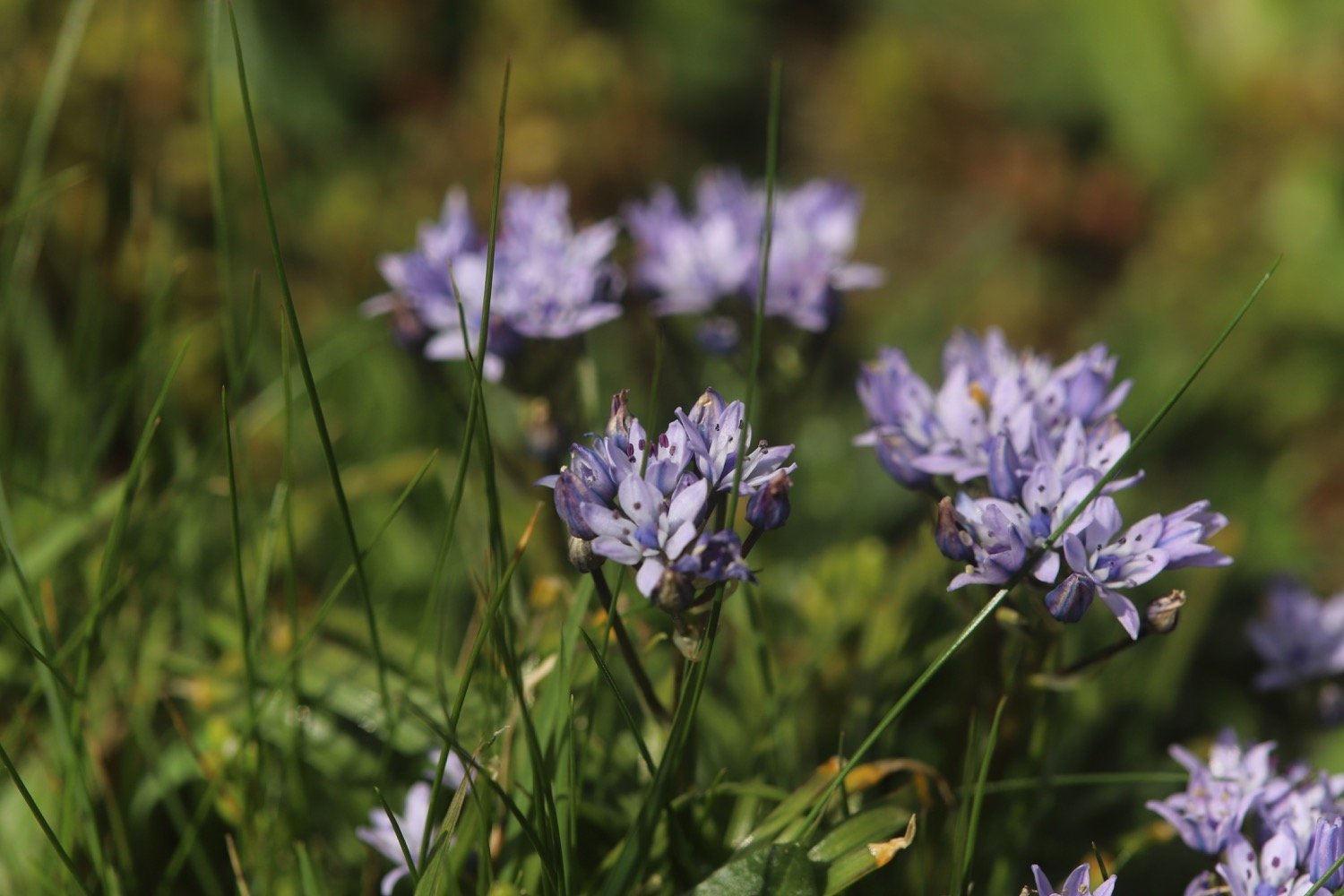
spring squill
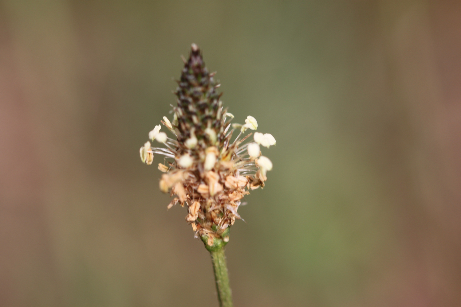
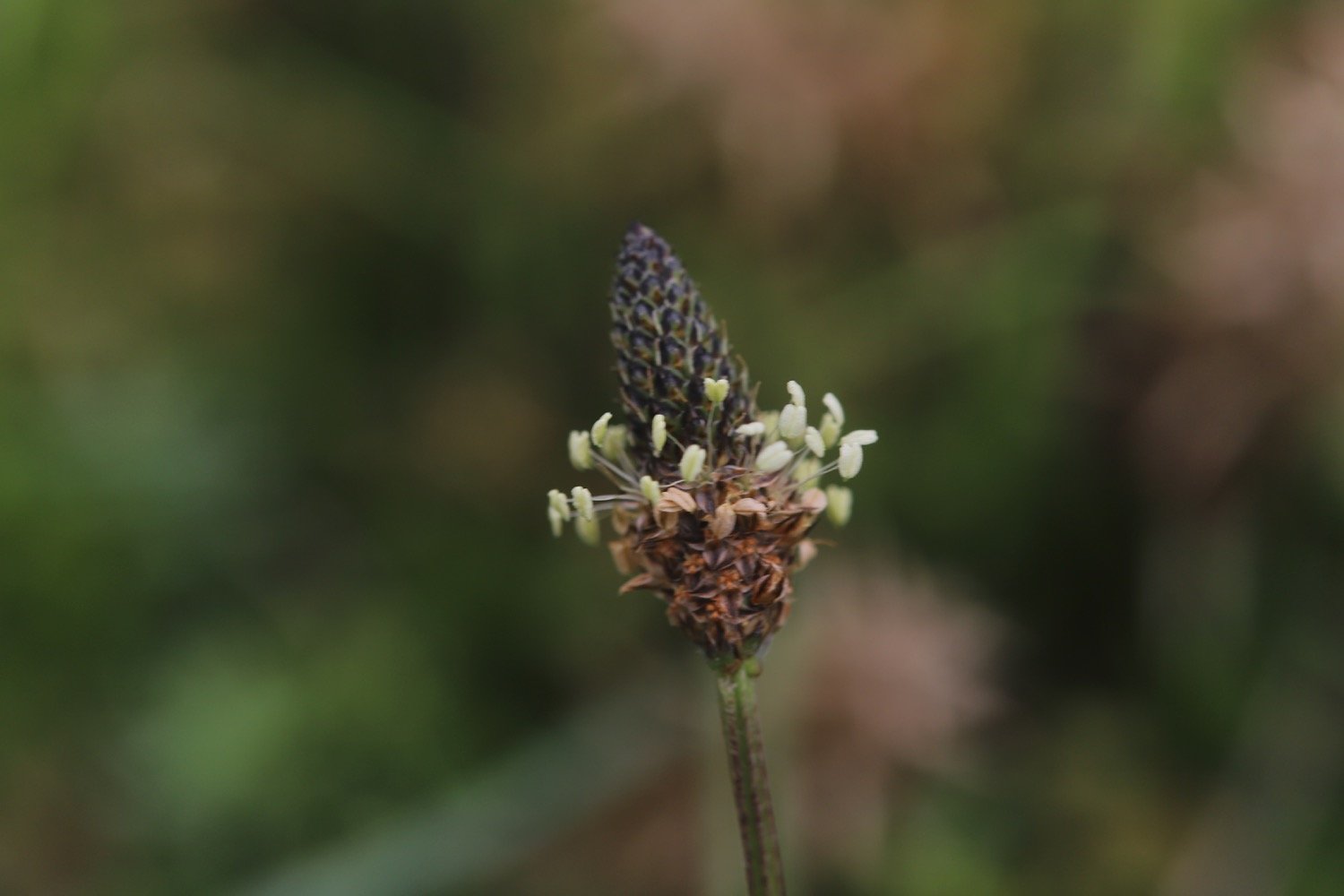
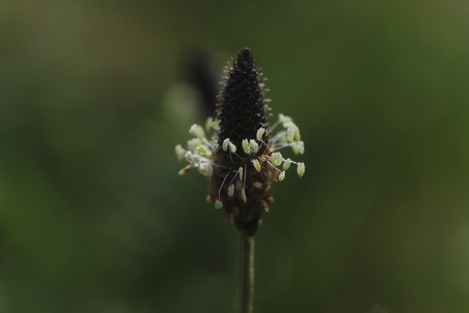
ribwort plantain
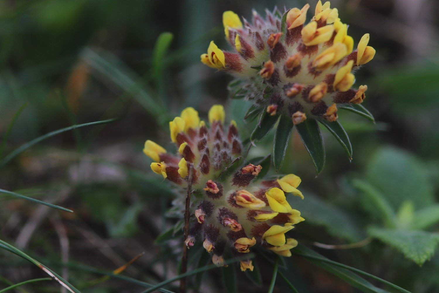
kidney vetch
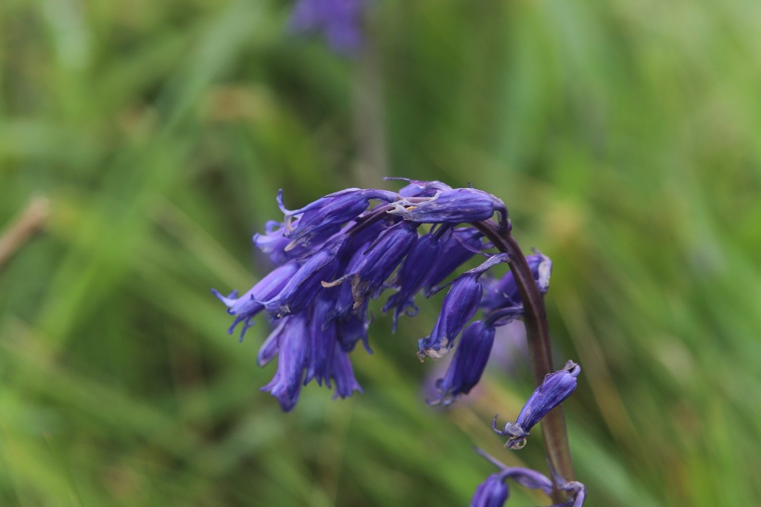
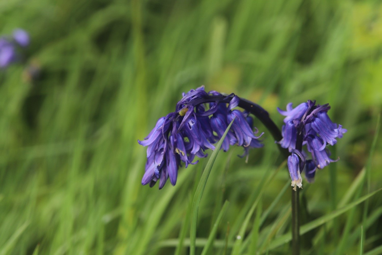
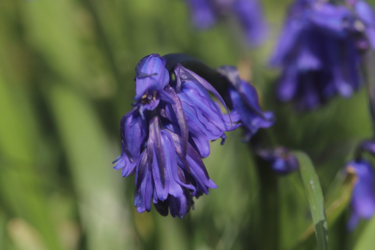
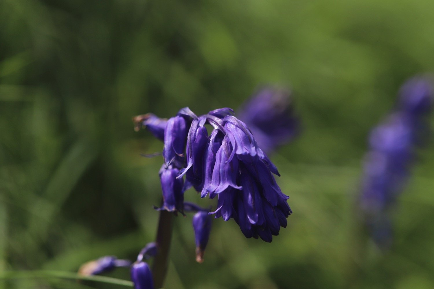
bluebells
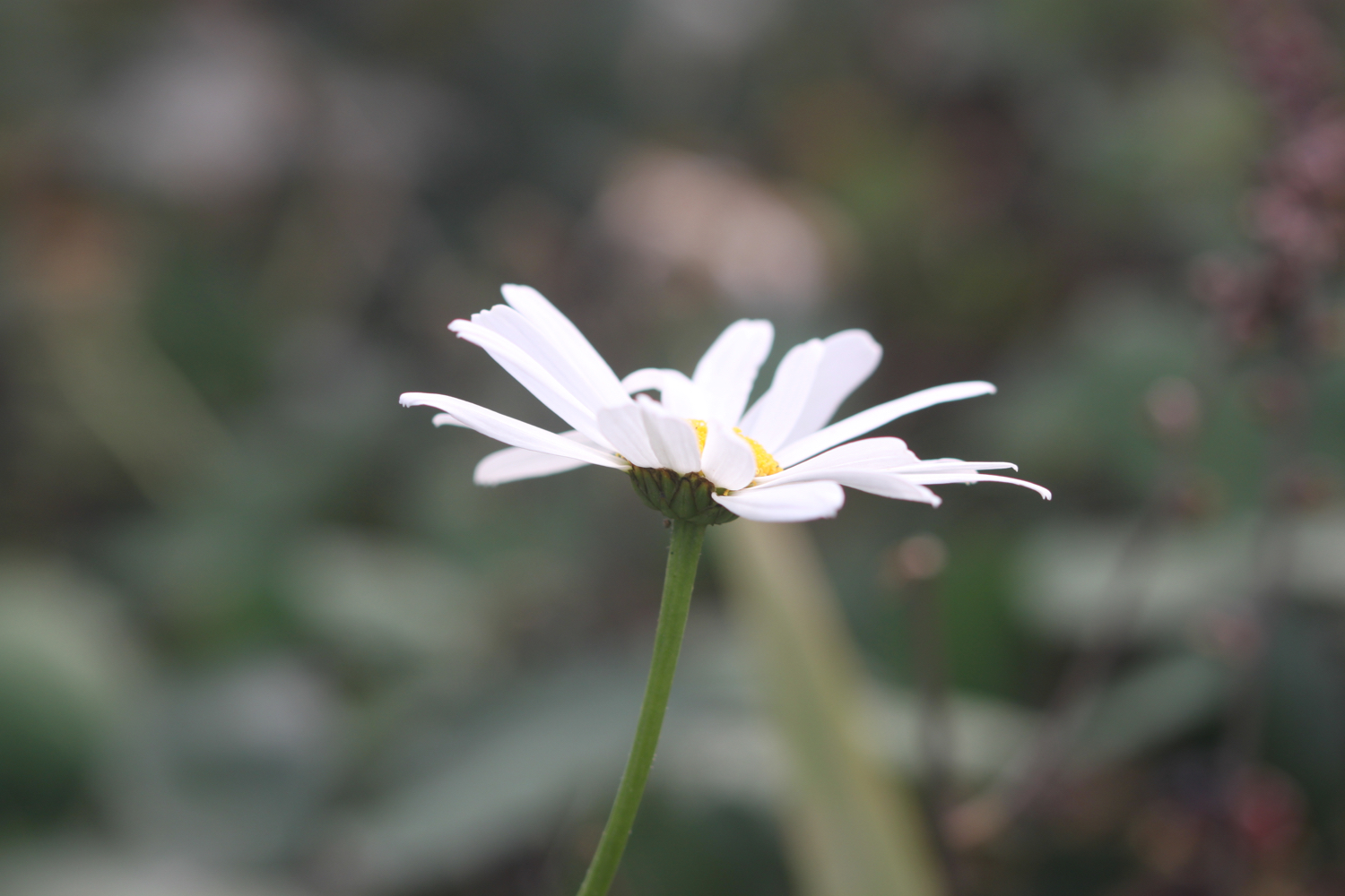
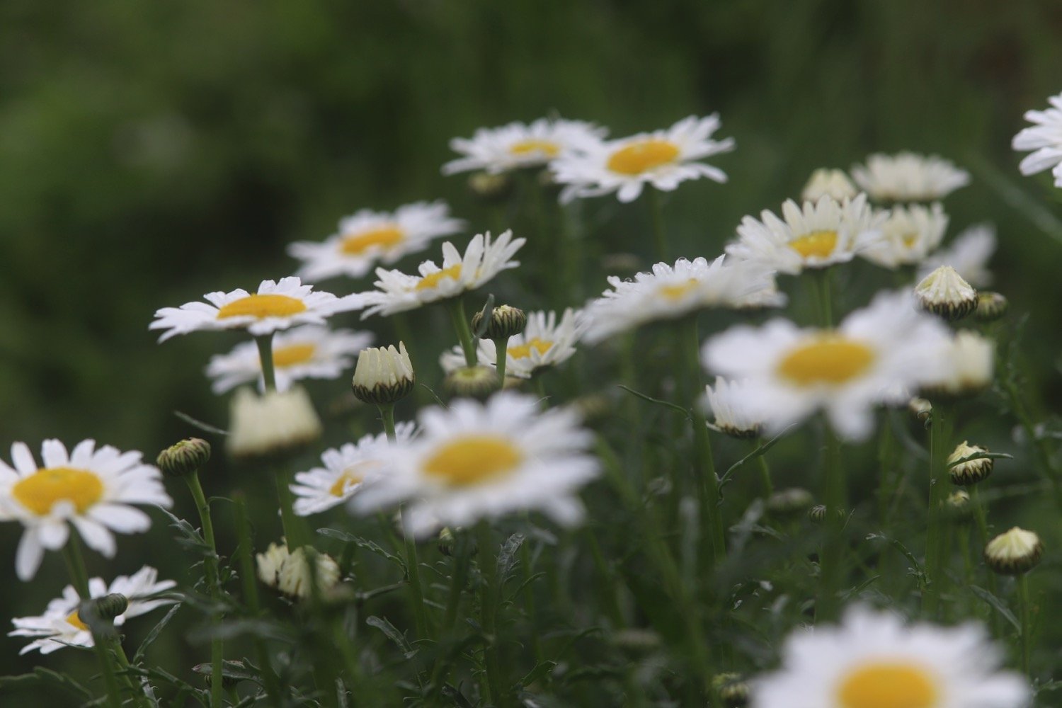
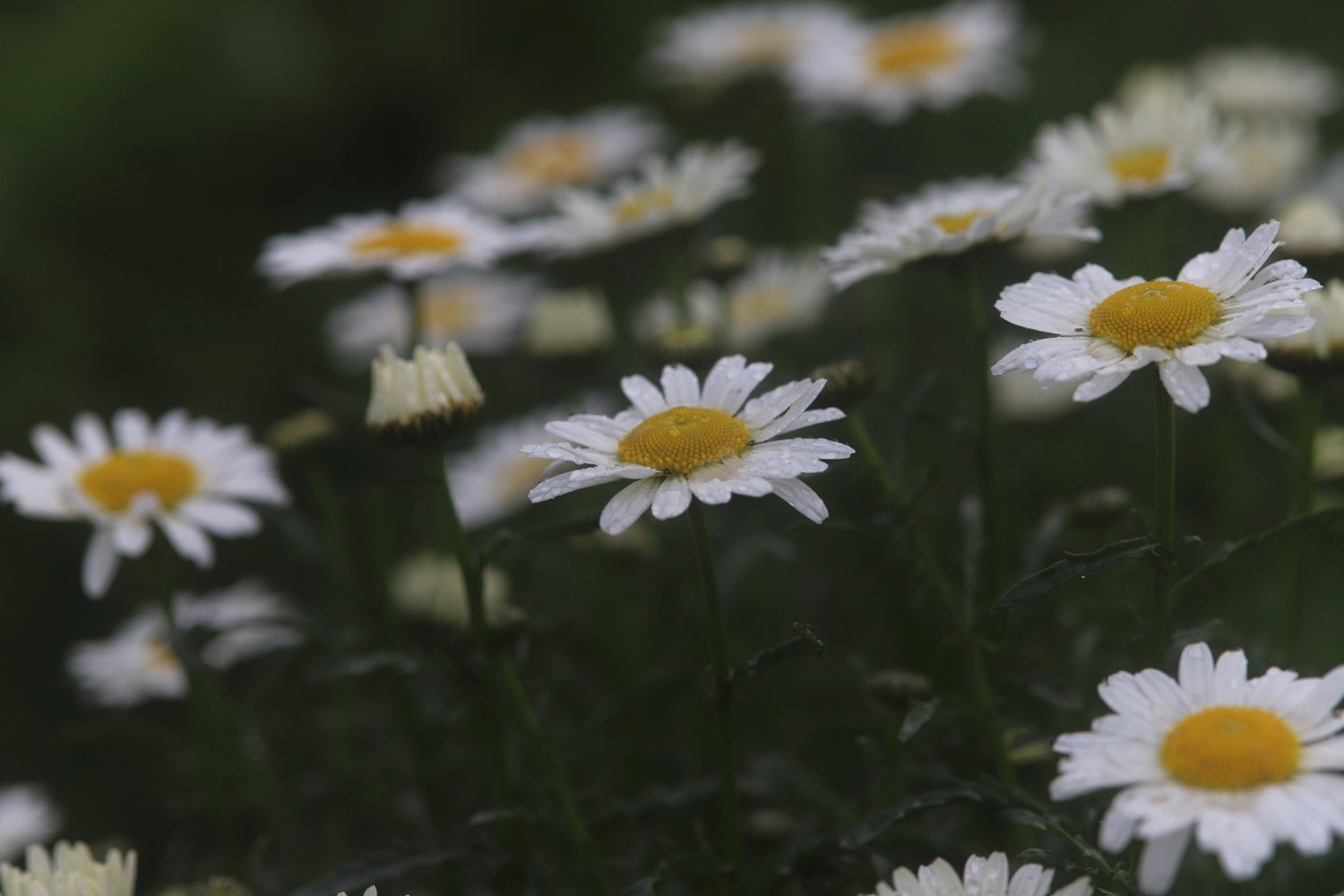
ox-eye daisy
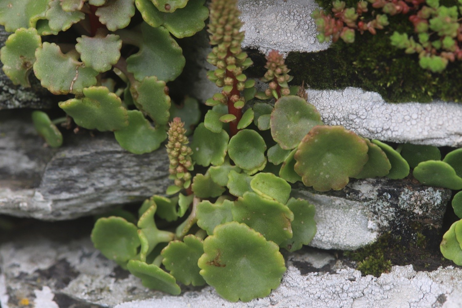
navelwort
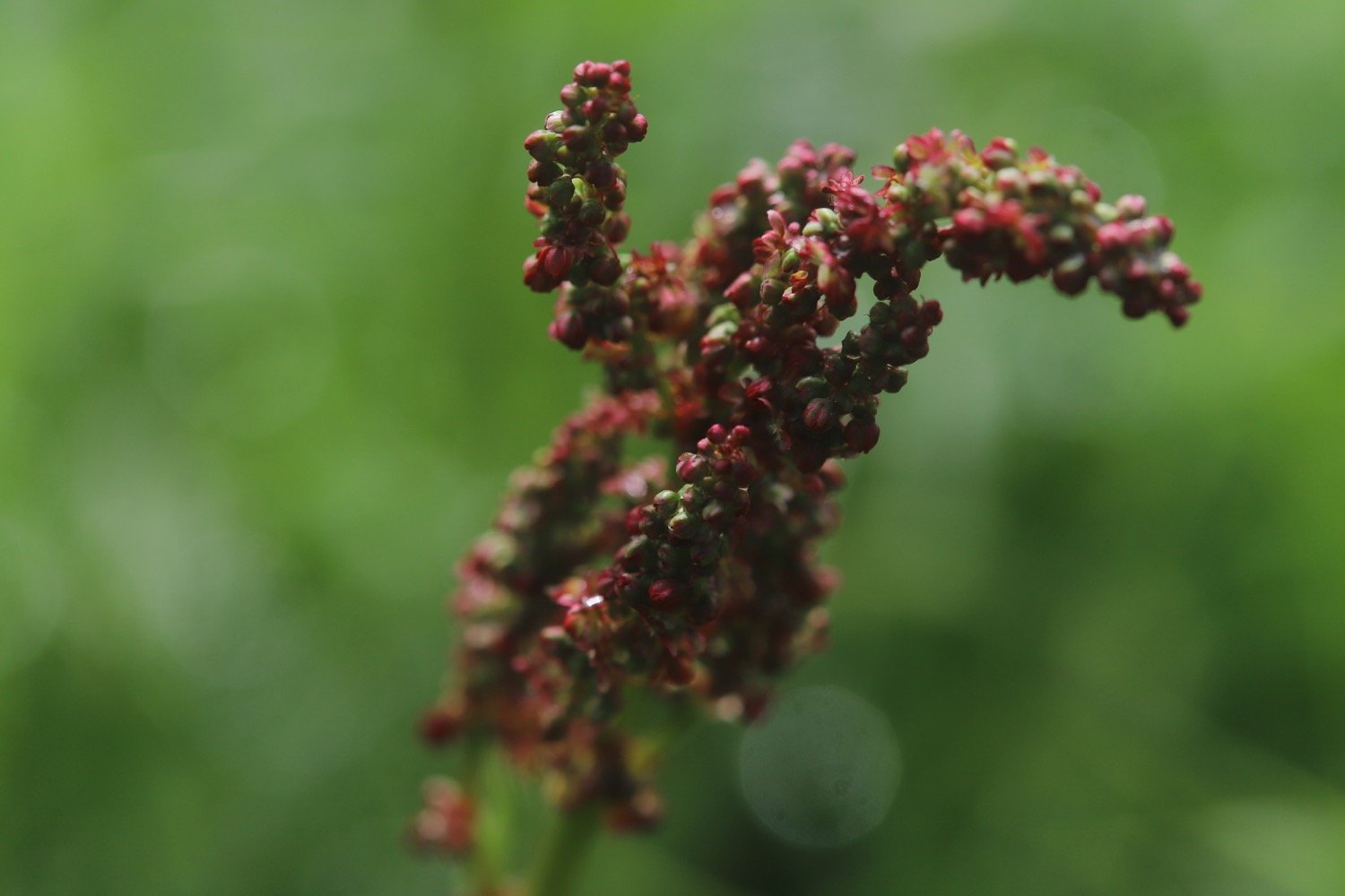
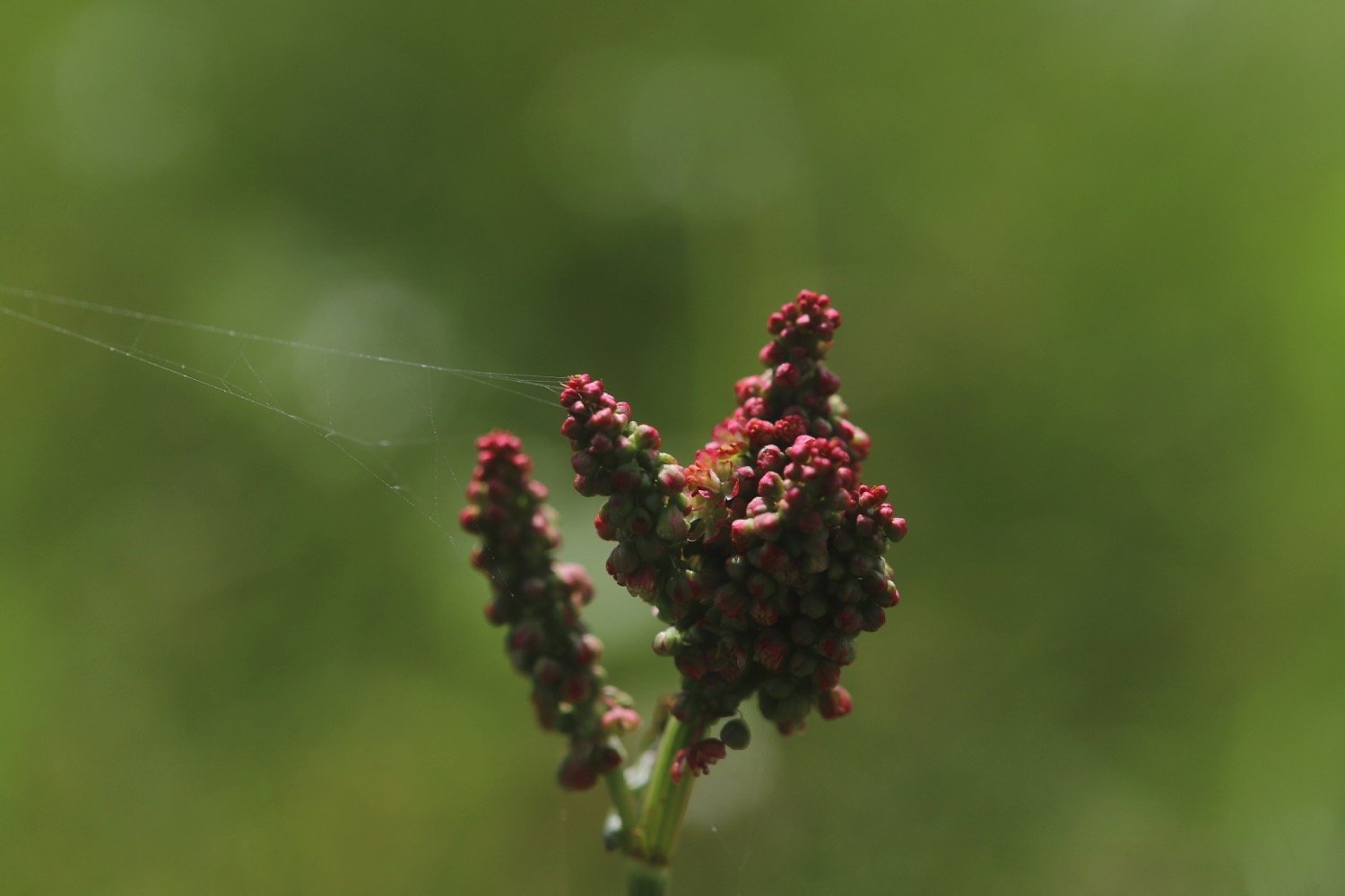
common sorrel
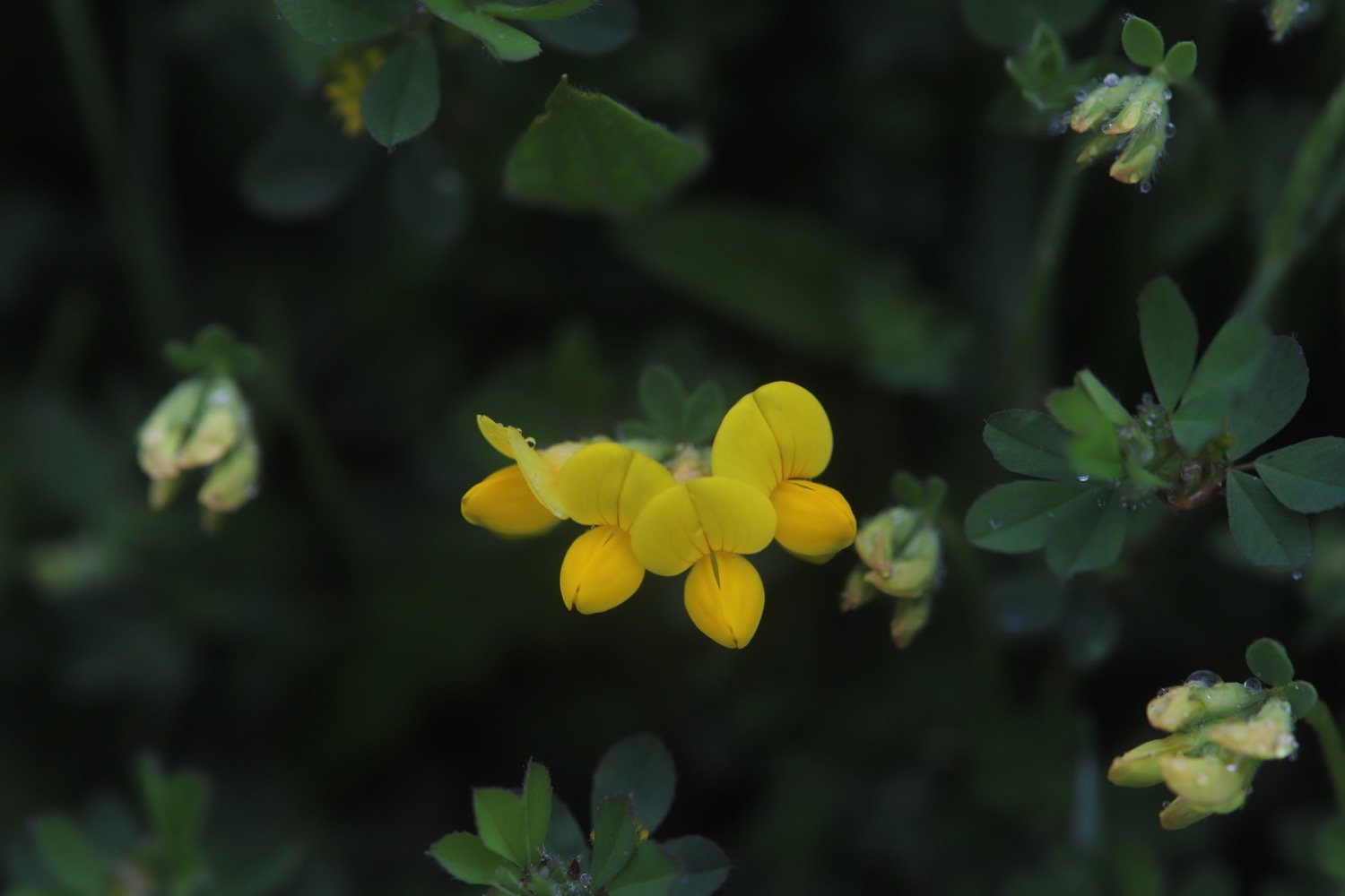
birds-foot trefoil
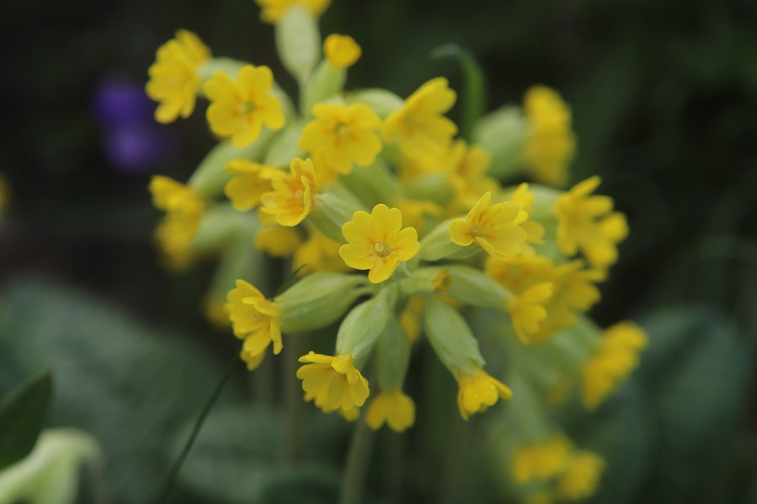
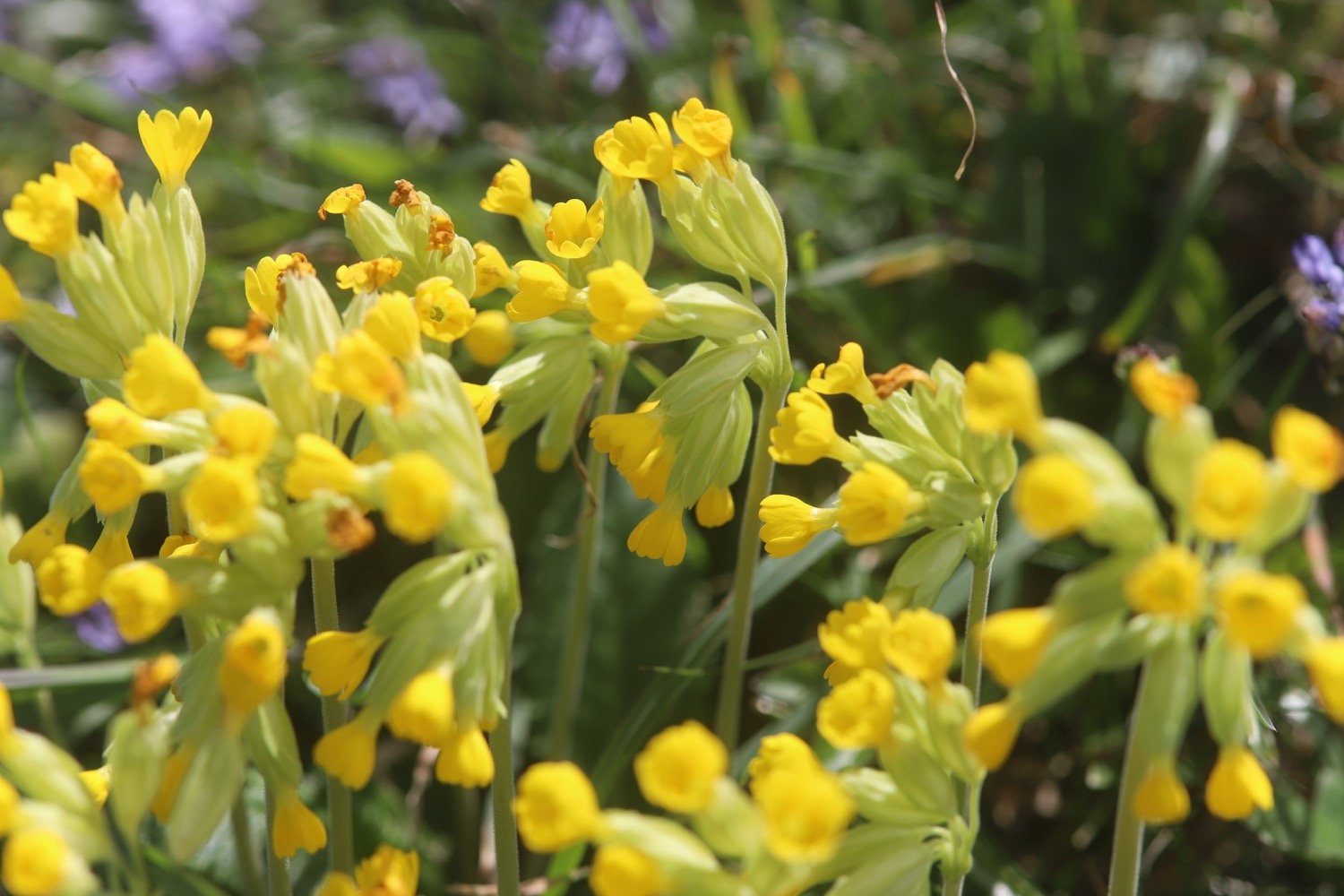
oxslip
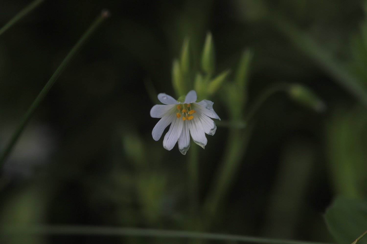
stitchwort
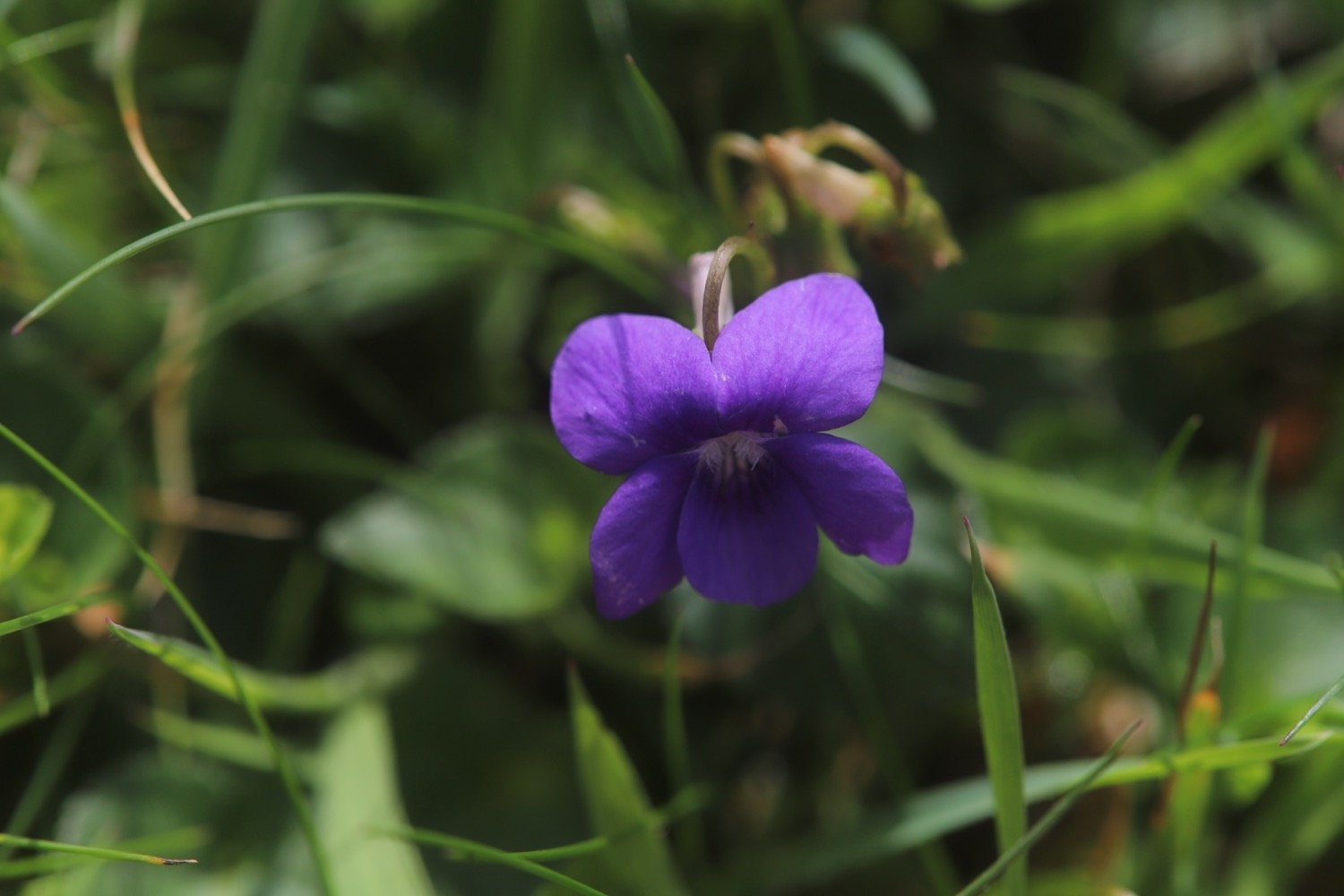
common dog-violet
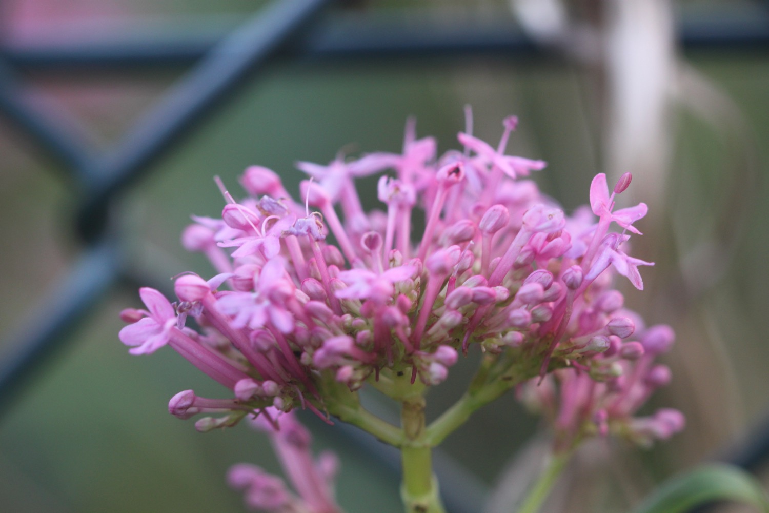
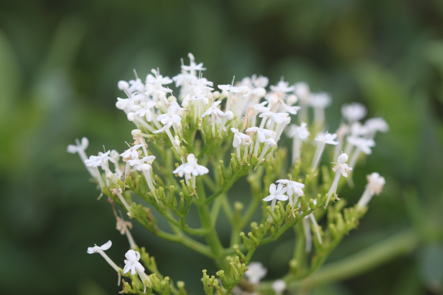
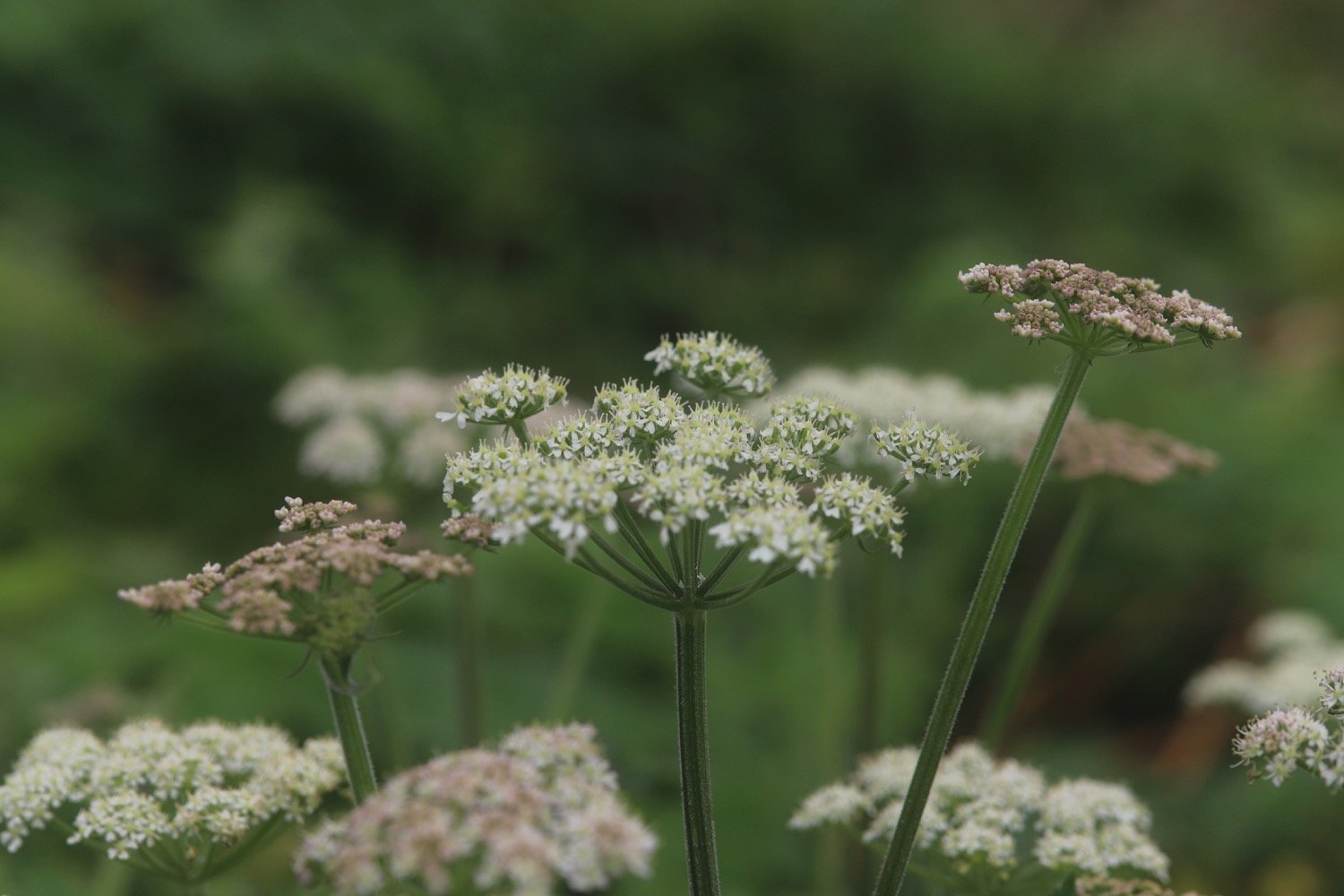
red valerian
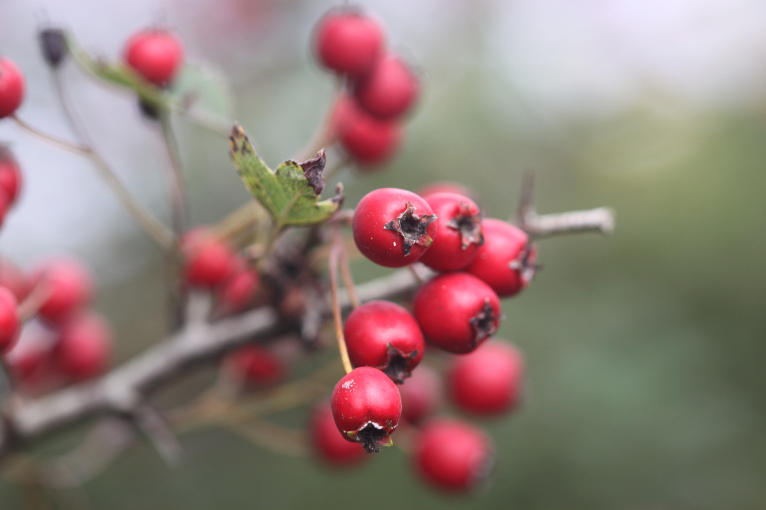
hawthorn

PODCAST
The podcast of today's walk is now available. You can subscribe via Apple Podcasts or listen using the player below.

MARKS OUT OF TEN?
According to my phone I've walked 10.7 miles which amounts to 27843 steps. It has taken me five and a quarter hours. The weather was stinky to start with but improved massively. Despite slipping and sliding through mud much of the day, eight out of ten!
WALK DETAILS

MAP
st materiana
sea thrift
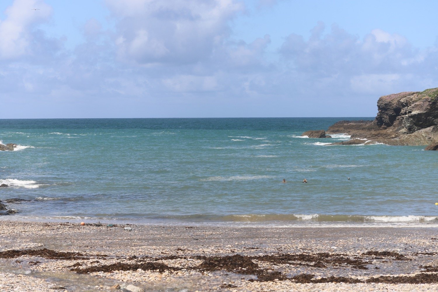
view to port isaac
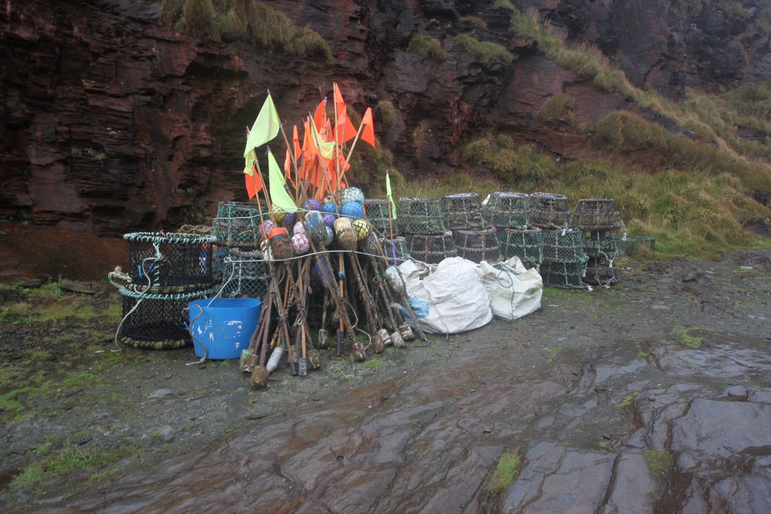
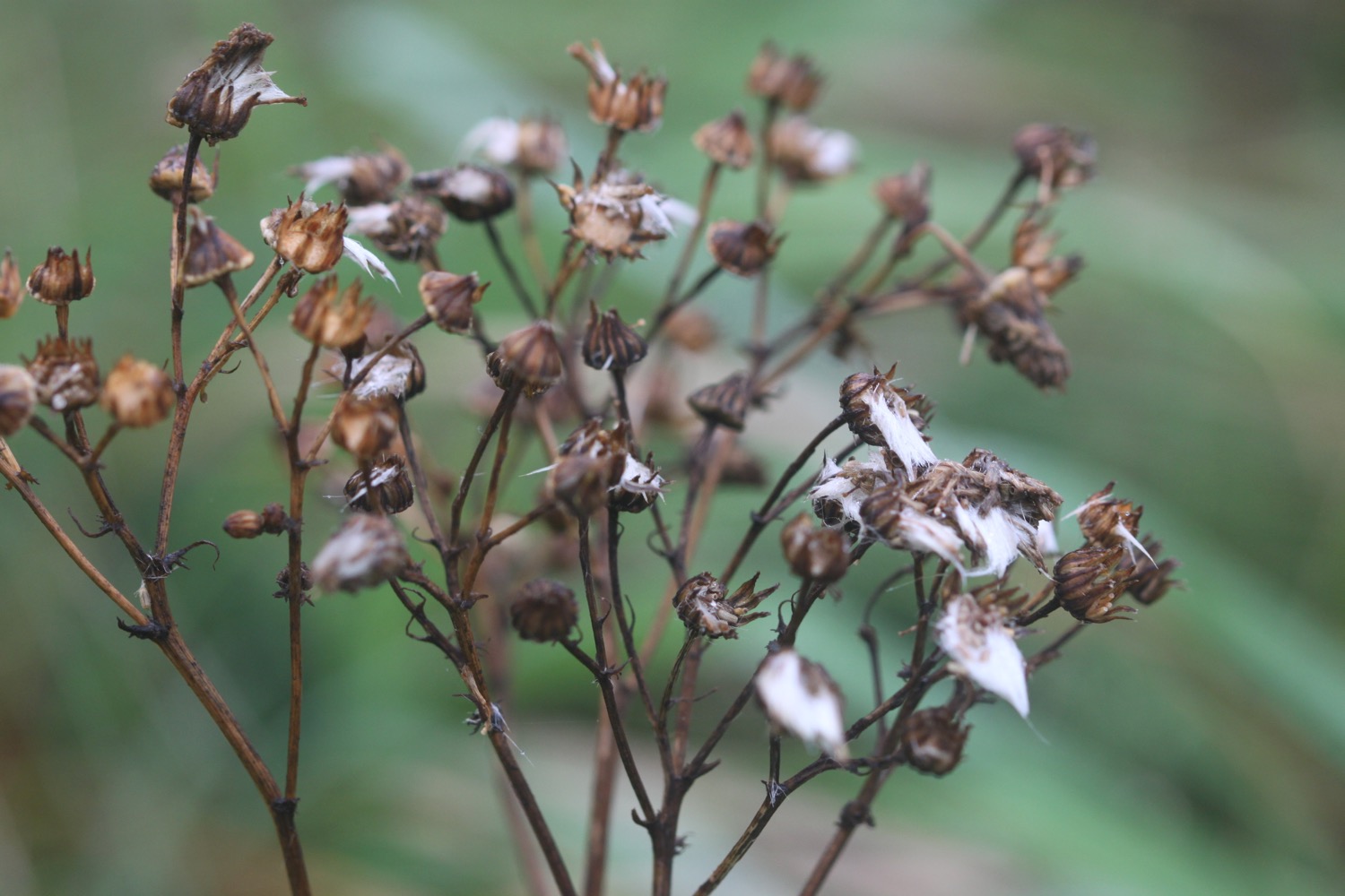
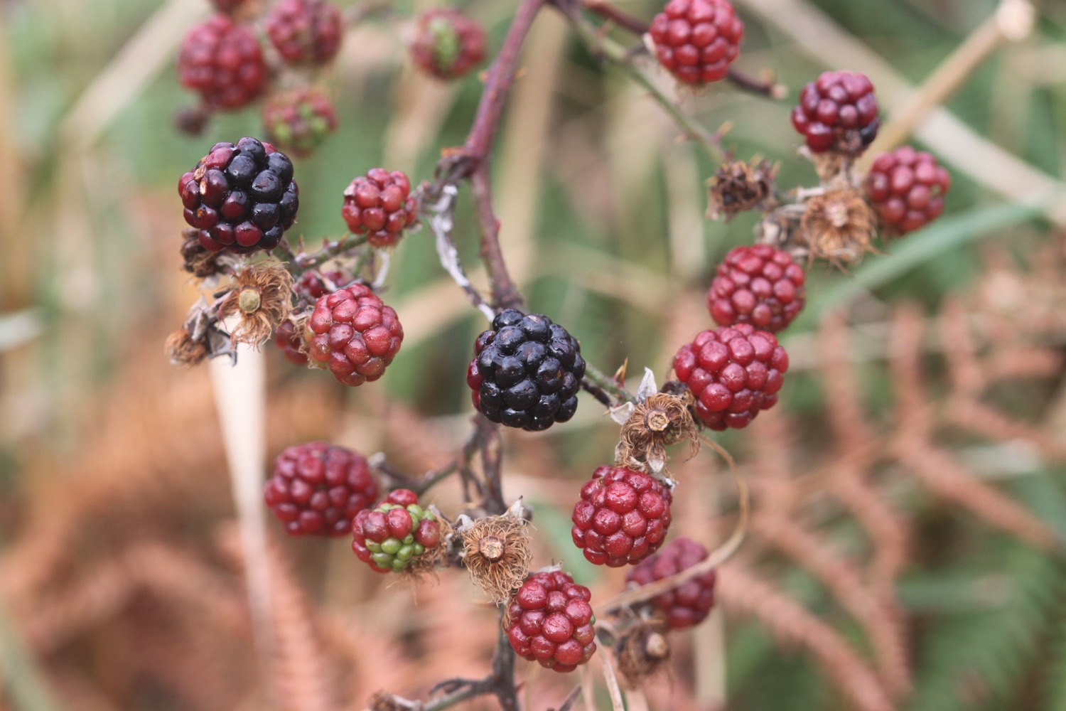
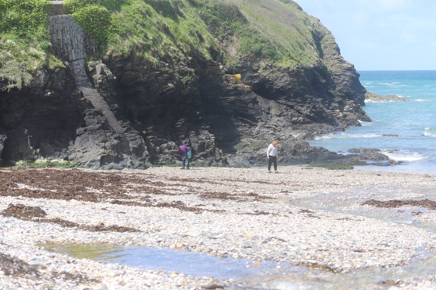
beach collection