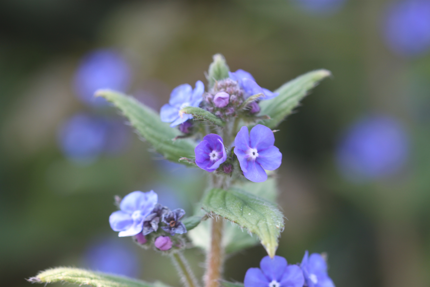
woodbury castle to exmouth

east devon way

monDAY, 5TH june 2023

Start location: Woodbury Castle (SY032872)

End point: Exmouth (SX999811)

Map: Explorer 115

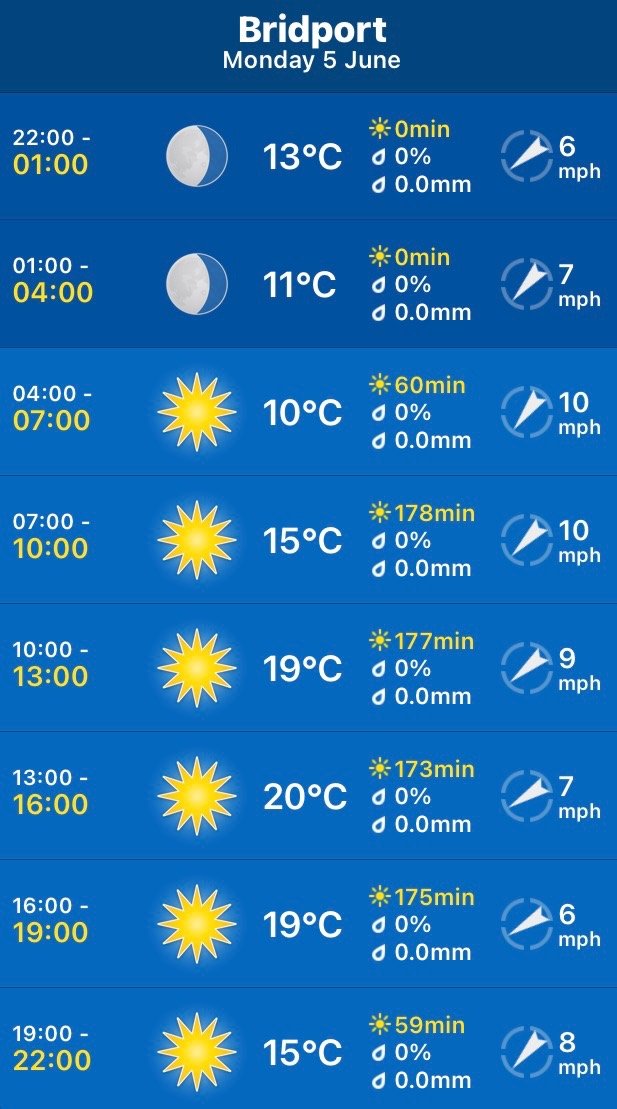
The weather forecast for the entire week continues to look fantastic. Today should be sunny and warm all day long.

Although I will only get glimpses of the sea today I’ll include the tide times for Exmouth Dock.

Exmouth Dock high tide 08:18

Exmouth Dock low tide 14:23

I start the day back at the car park at Woodbury Castle and cross over the road to Estuary View car park to see what the view is actually like. There are a load of bushes in the way but I can see where I’ll be walking for the rest of the day.

estuary view

woodbury castle car park

estuary view car park

I return to Woodbury Castle car park and follow the fingerpost to Exmouth on the south side of the car park. I follow a track south, keeping the A3180 road on my right.

fingerpost

I almost immediately come across common spotted orchids on the side of the track.

I go straight over a lane into a car park near Four Firs crossroads.

four firs car park

I turn right in this car park through a wooden gate into an area of conservation grazing, following the path through heathland. I bear right and follow the track uphill aiming for a gap in the conifers on the brow of the hill.

gap in conifers

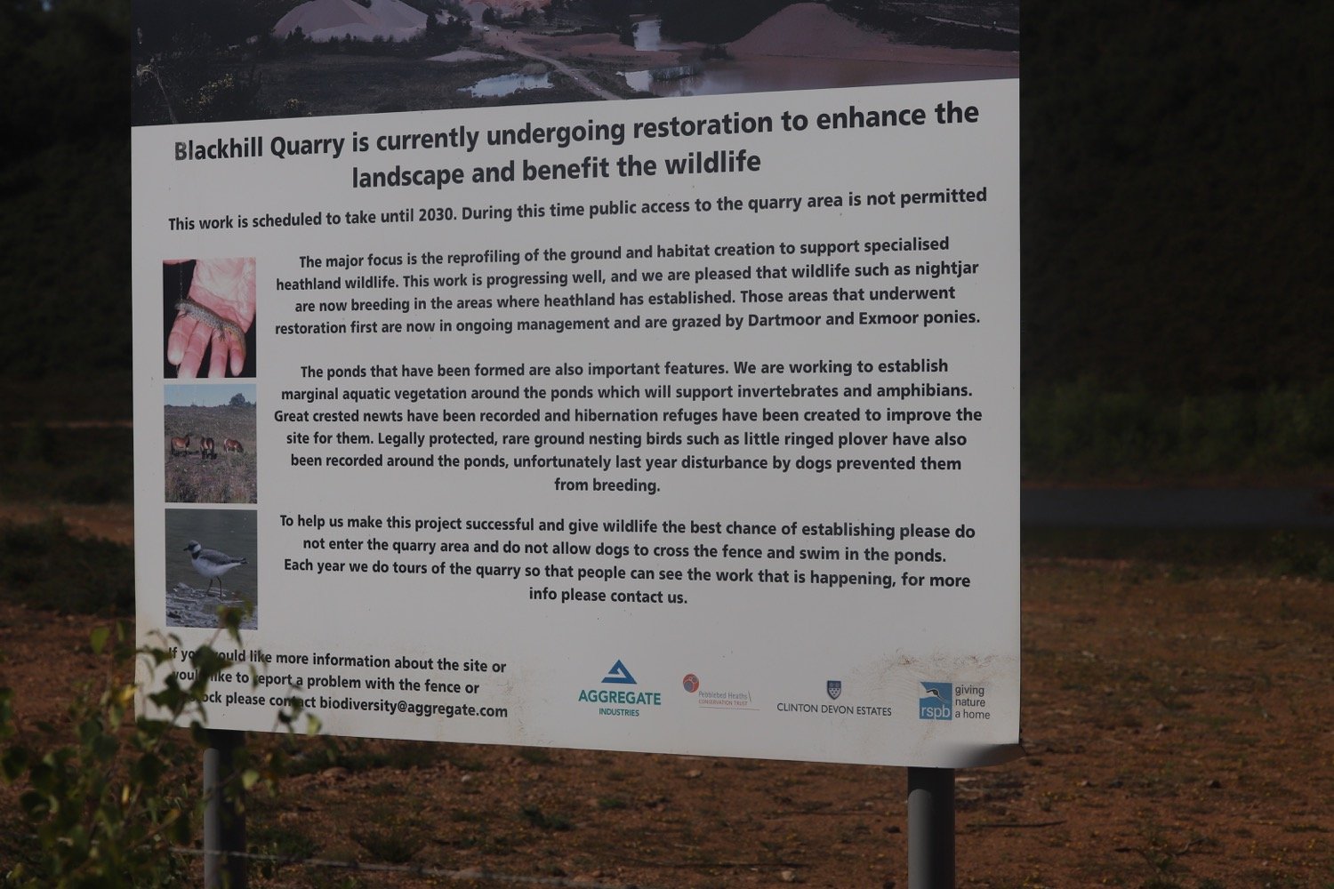
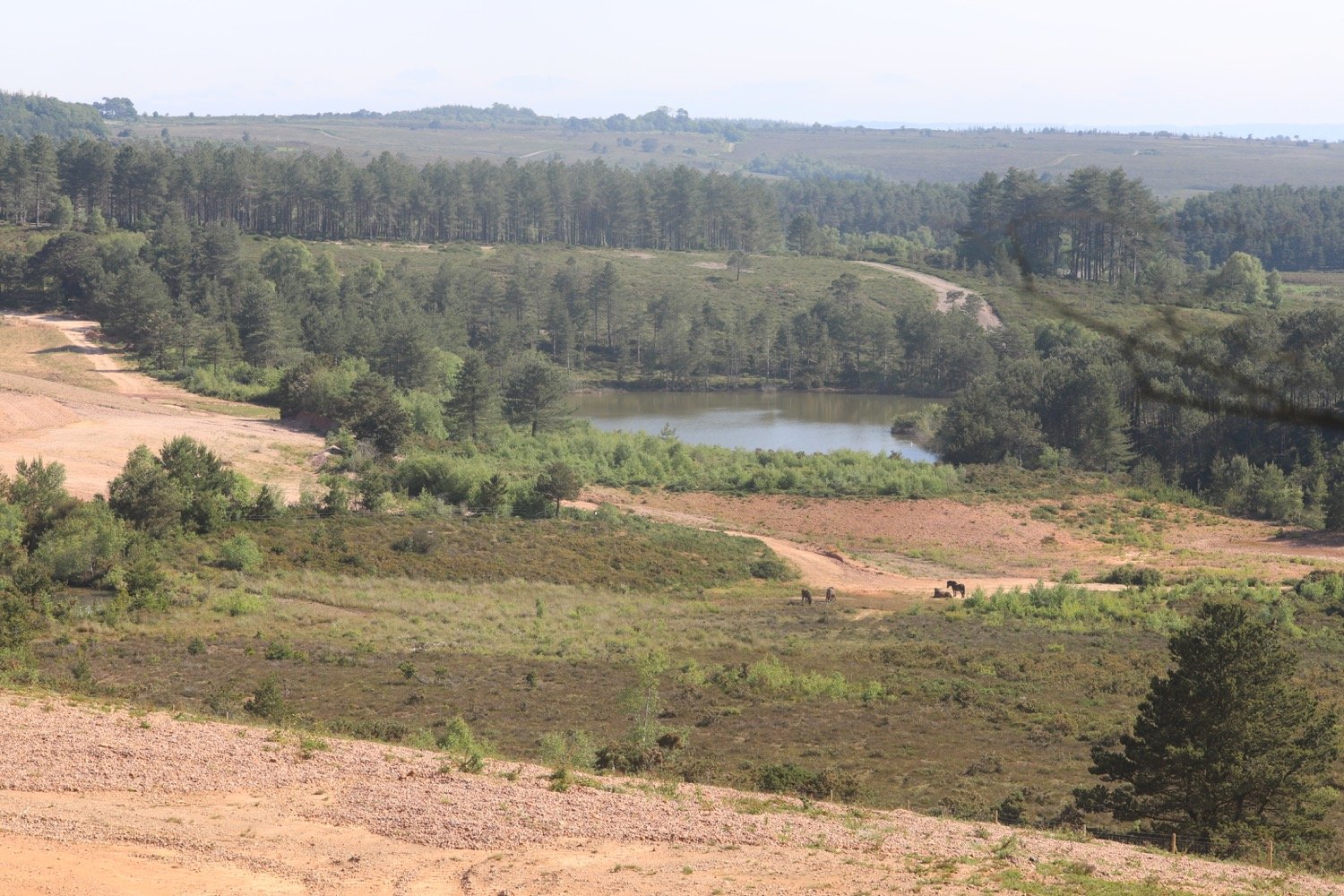
After the conifers, where the track swings left I go straight ahead down a narrow pebble path through the gorse towards Blackhill Quarry. This is an amazing landscape of quarried red sand and gravel, being managed by the RSPB with grazing ponies.
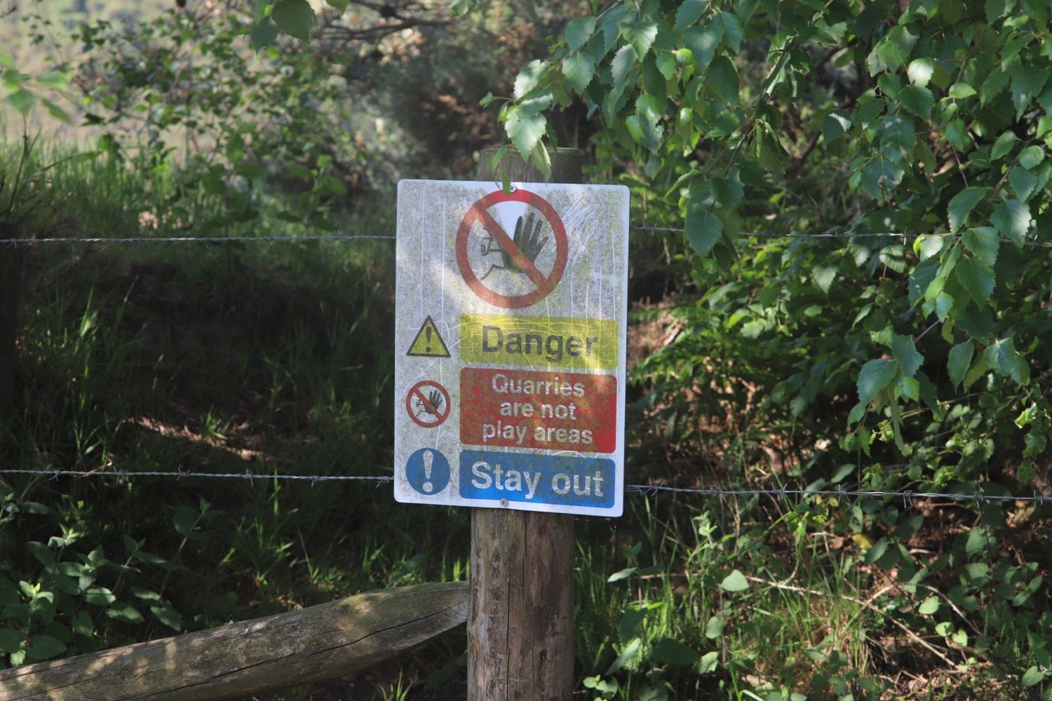
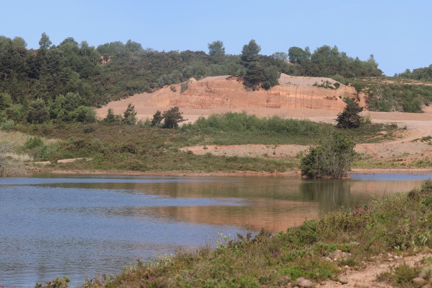
I pass the lake in Blackhill Quarry on my right and join a broader track. I follow waymarkers and go through a gate, ascending towards woodland.

I turn right at the top, near Fryingpans on the map, then fork left at a waypost. I pass through a wooden gate and enter Lympstone Common. I keep straight ahead where I join a public bridleway. When I reach a crossroads of public bridleways, I turn left and follow waymarks though a pleasant woodland until I reach a car park, where I turn right on to the lane towards the B3179 road.

I turn left along the B3179 walking along it for 80 yards, then turn right down Higher Marley Road. This is a narrow residential road with no pavement.

higher marley lane

Bystock Woods is to my left. At the bottom where the road curves to the left, I keep straight on Marley Road, ignoring Gorse Lane on the left.

marley road

I continue between iron bollards on to a traffic-free section to reach Dinan Way.

I cross over this road via a pedestrian refuge to continue down Marley Road which is again closed to vehicles. I pass houses and, when the road becomes open to vehicles again with houses on both sides, I fork right ahead by a waymark post up a wooded track.

I cross over Hulhum Road, bearing slightly right and turn down a grassy public footpath with houses on my left and fields on my right, where I have my first proper glimpse of the estuary.

glimpse of the estuary

There are people here strimming the life out of the vegetation. When I reach Summer Lane I turn left to pass A La Ronde on my left, a unique 16-sided National Trust property. Members and paying visitors can visit the house, enjoy the views over the estuary and visit the tea room.

a la ronde

I continue on the lane with views ahead to the estuary where I will soon be walking. At a cross roads I go straight over the A376 Exeter Road, next to a petrol station.

I walk down Courtlands Lane, and after the last house on the right turn right over a stile along a public footpath.

I walk between a hedgerow on my right and an earth bank on my left and follow it left around a field of wheat. I go through a kissing gate and resume walking in the same direction with the hedge now on my left. I follow the path as it turns right around the field and then left through another kissing gate, glimpsing the view down to the estuary.

field of wheat

I go through another kissing gate onto an access track and, at the lane cross over on to a public bridleway. This turns left before meeting a lane. I turn right and continue until I see a railway arch over the road.

railway arch

Just before the arch I turn left though a gate to follow the Exe Estuary Trail for three quarters of a mile, a shared cycle route and footpath, part of National Cycle Network Route 2.

exe estuary trail

exe estuary trail

I pass a mural, made up of drawings by children from Lympstone Primary School and designed by Jo Salter who painted it with Steve Pixie.
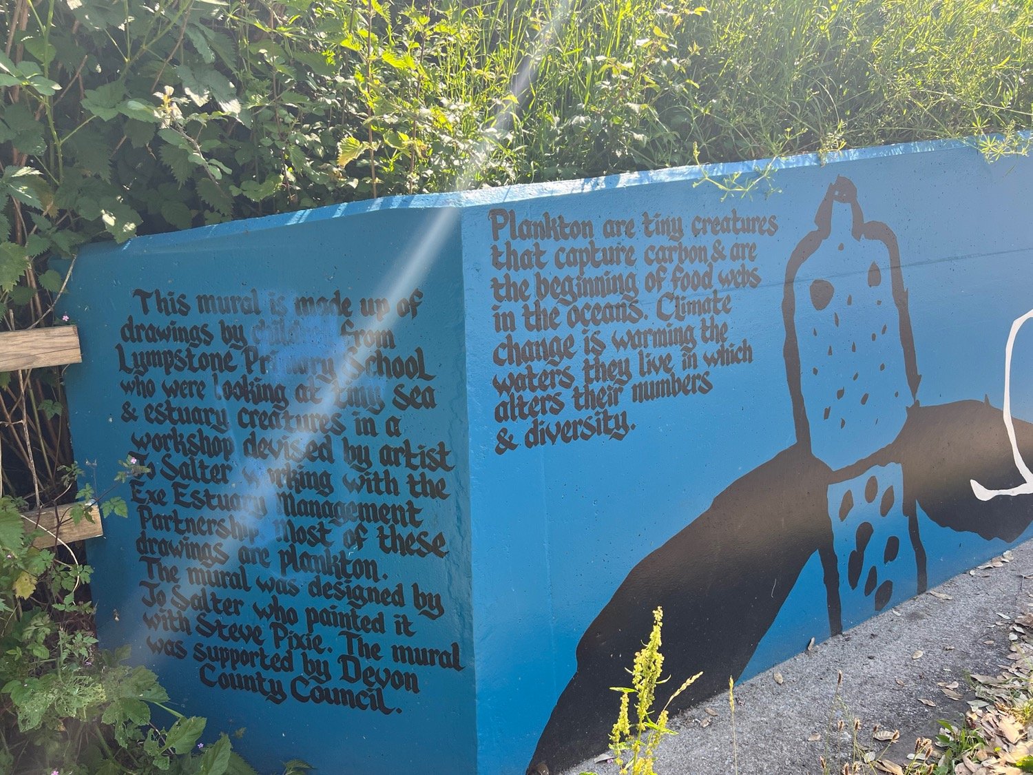

I’m now next to the railway line and I begin to hear trains going into and out of Exmouth. As the path climbs a little I see the estuary on my right, a paradise for bird watching.

exe estuary

Ahead I can see the landmark of Exmouth church tower.

exmouth church tower

After another half a mile I pass National Trust owned Lower Halsdon Farm and join Mudbank Lane. I follow it right as it crosses a bridge over a drainage channel.

lower halsdon farm

I have lovely views over the estuary and I enjoy the wildflowers bordering the trail.

view over estuary

view over estuary
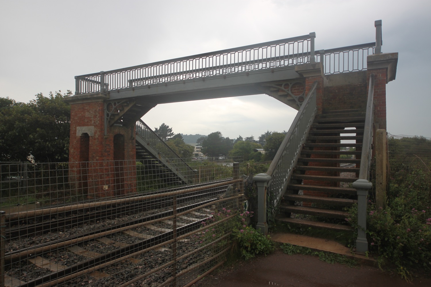
I turn right at the public footpath sign into a park, then turn right up steps to cross the railway tracks, taking care to look out for approaching trains. I go through
a kissing gate, then left at the junction to follow the path along the estuary.

beware of trains!

I have more magnificent views over the estuary and pass a signpost pointing back to where I have come from.

view over estuary

view over estuary
east devon way

After passing through a pleasant grassy nature reserve, I emerge and pass a coach park then a car park on my left and pass behind the railway station where a train is just drawing in. I follow the road beside the estuary until I arrive at a viewpoint with interpretation boards marking the western end of the East Devon Way. My walking is done.

viewpoint

start and end of the east devon way

FLORA AND FAUNA

Flora and fauna encountered on the walk today includes :-

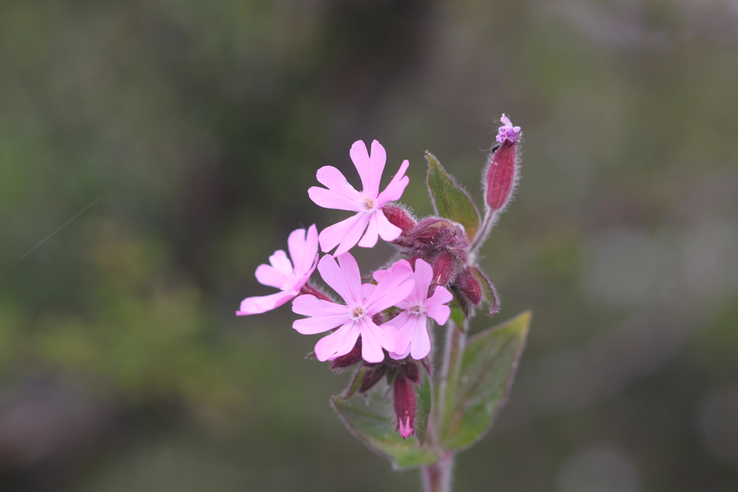
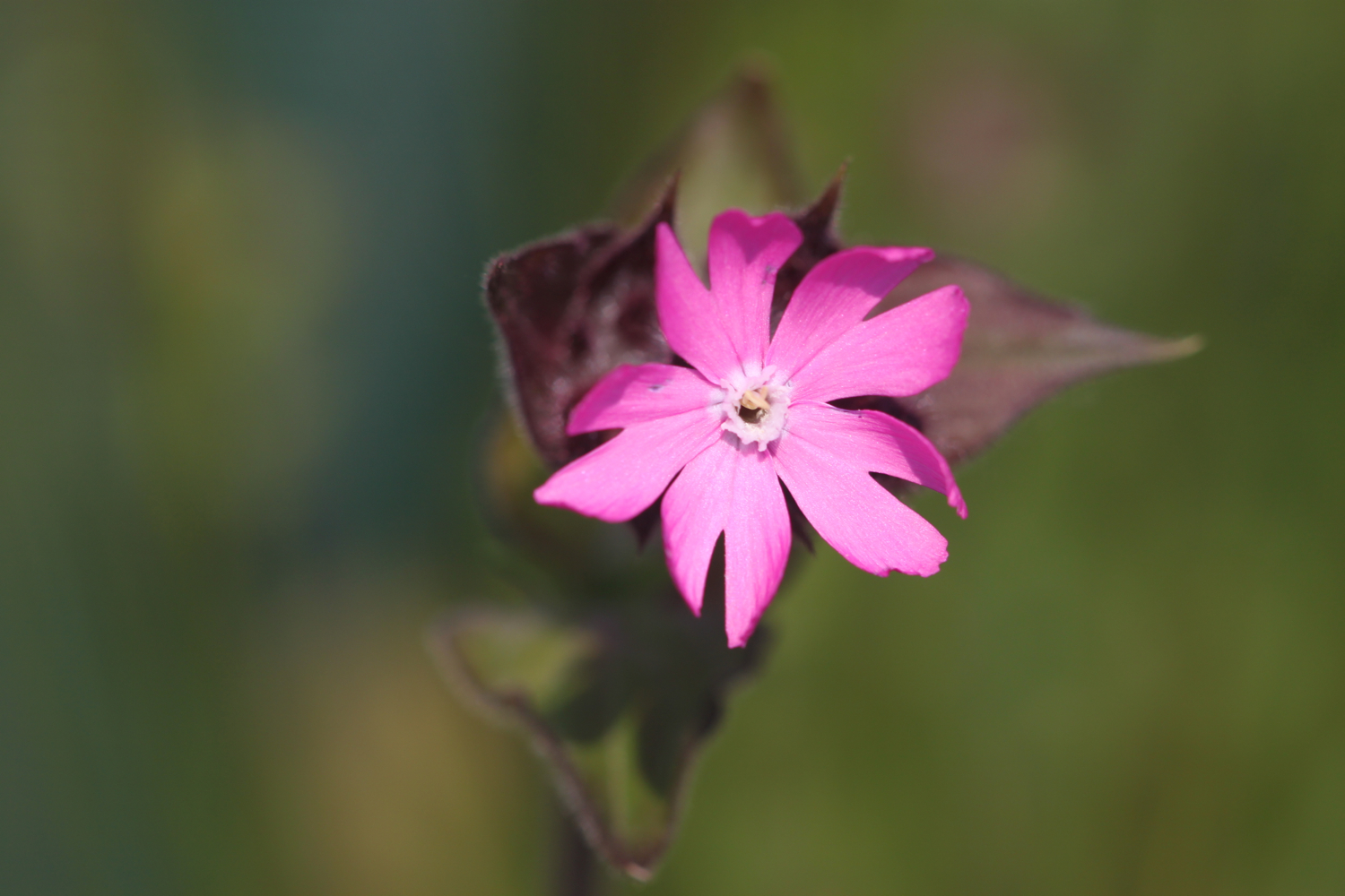
  • red campion

  • bracken

  • common spotted orchids

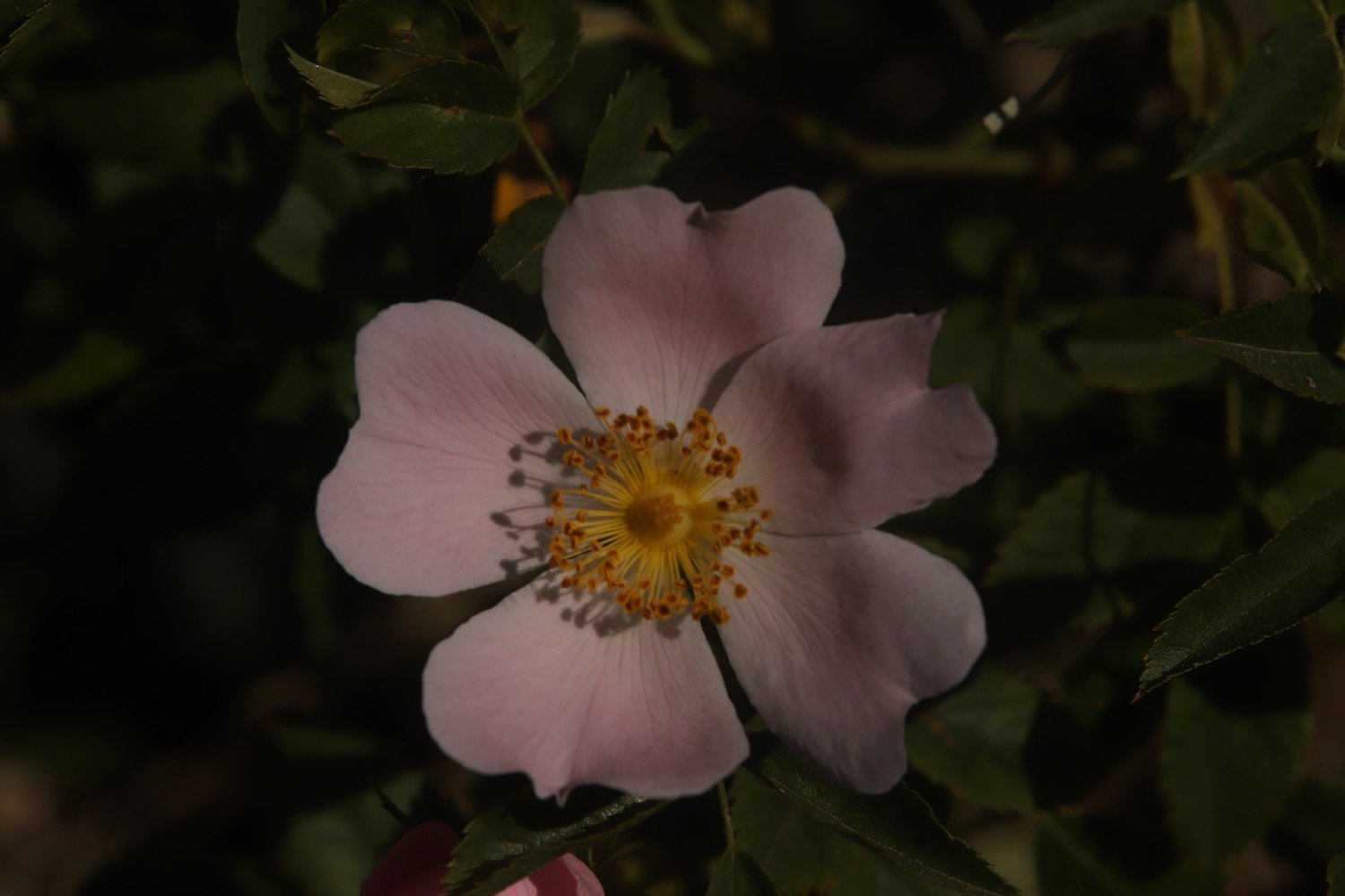
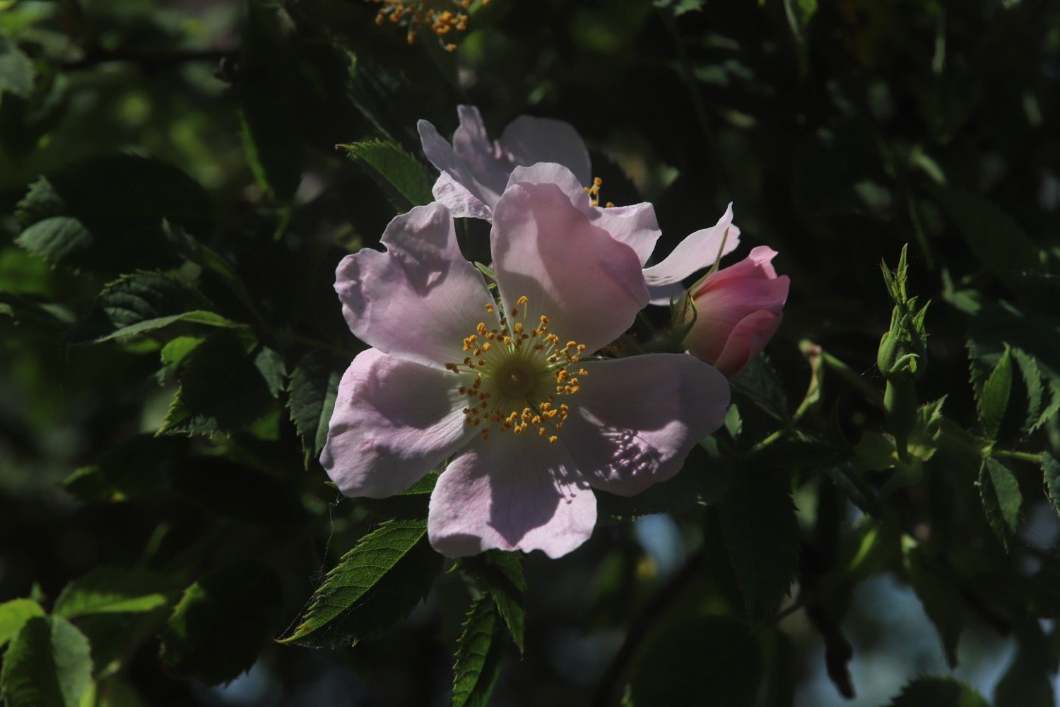
  • roses

  • foxgloves

  • aqualegia

  • rhododendrons

  • herb robert

  • white valerian

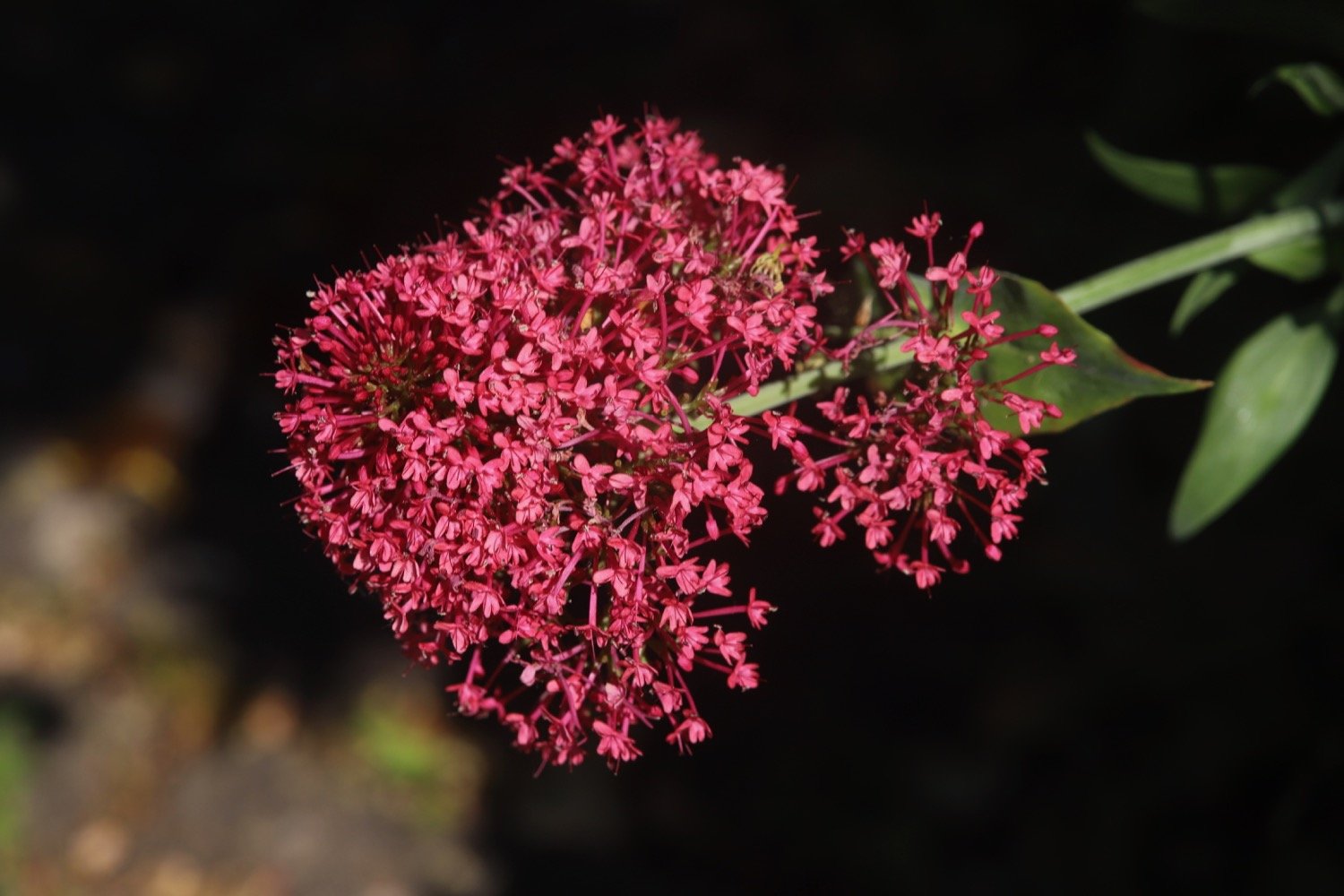
  • red valerian

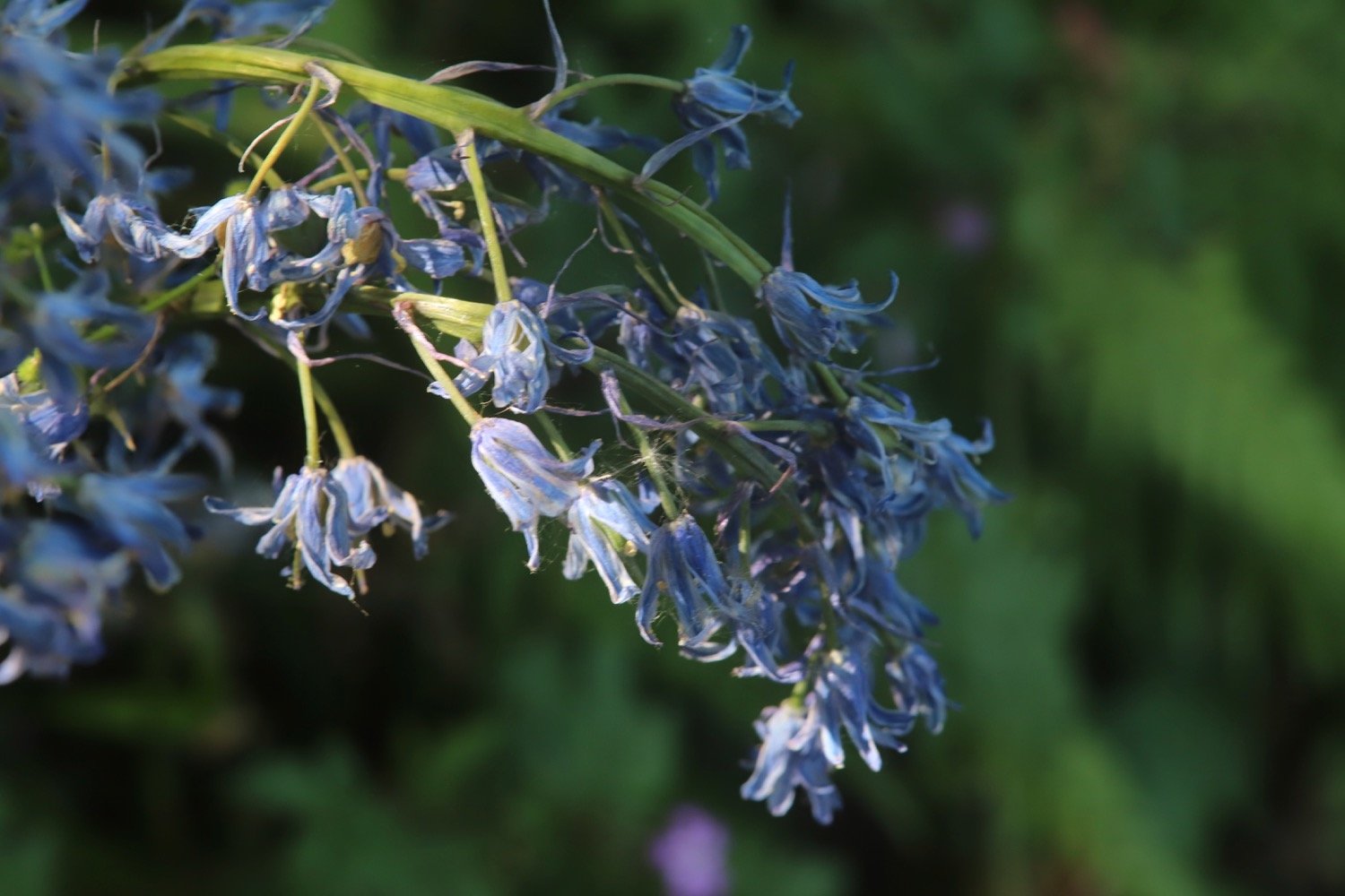
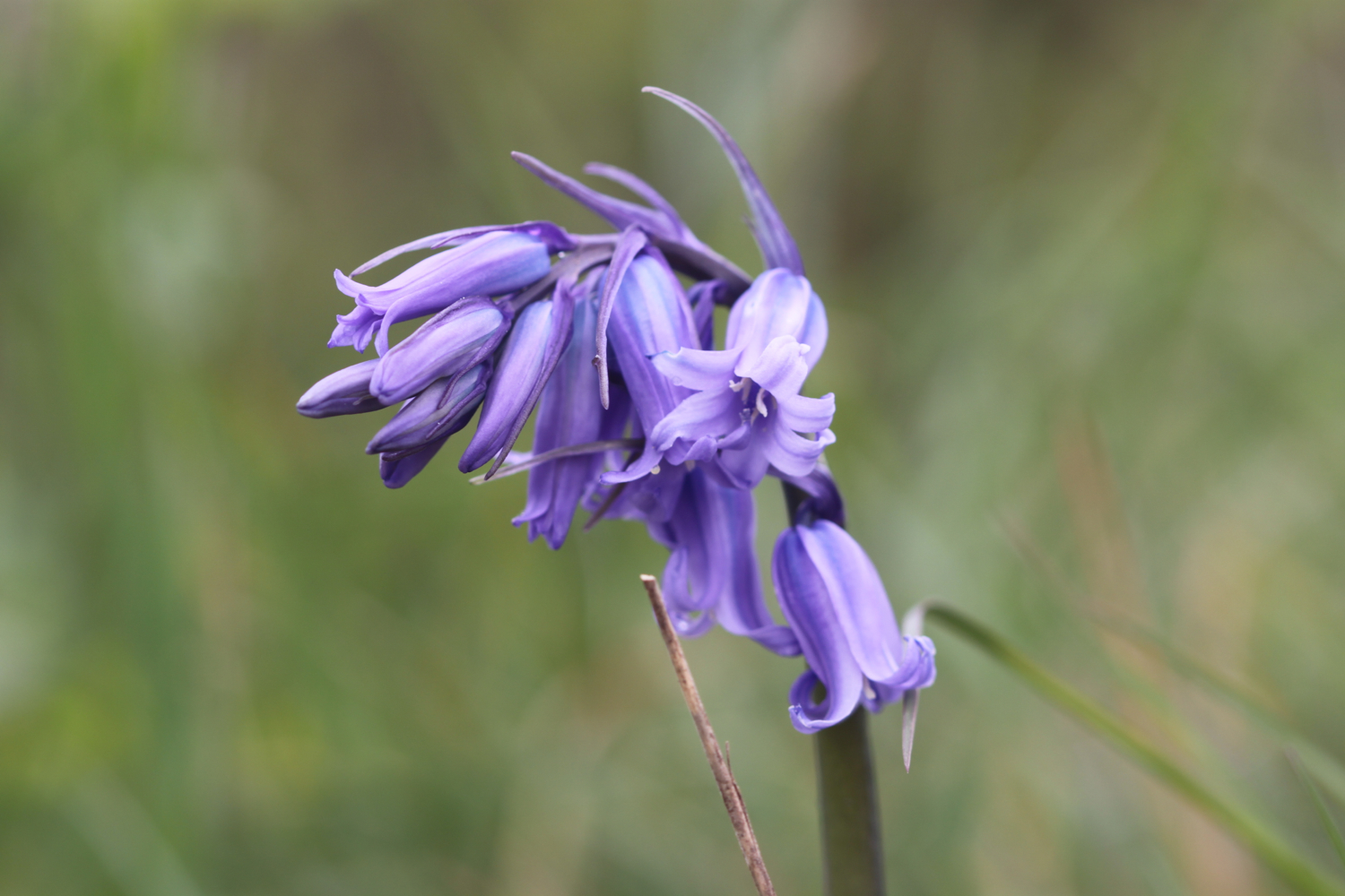
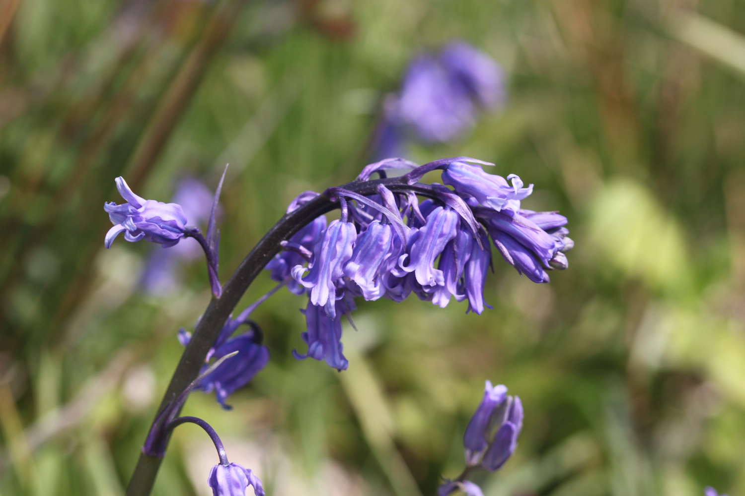
  • bluebells

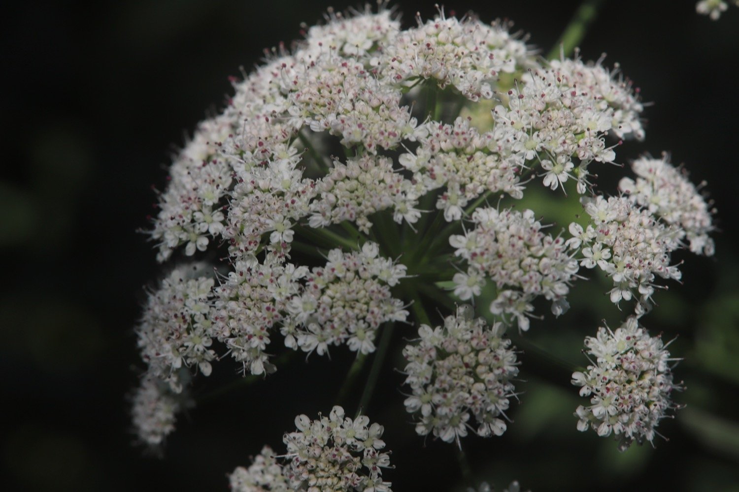
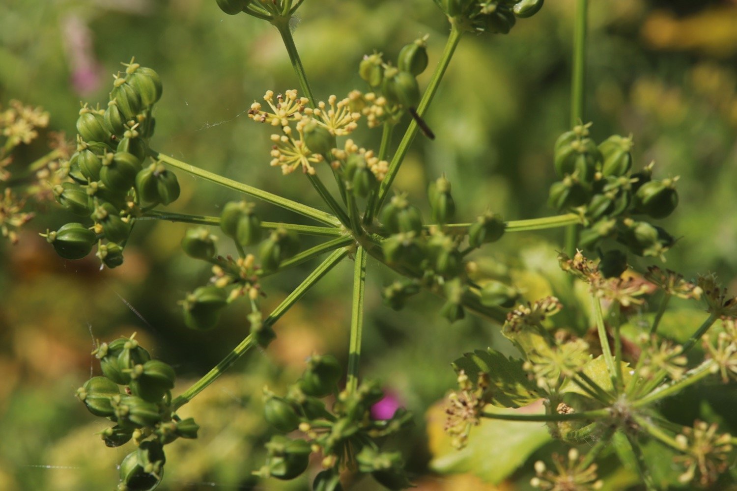
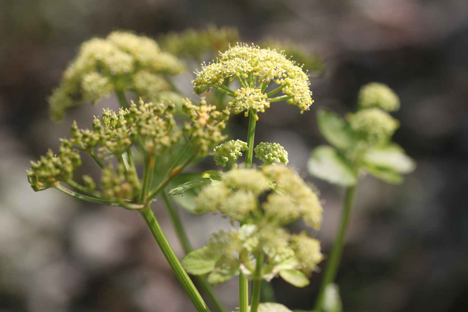
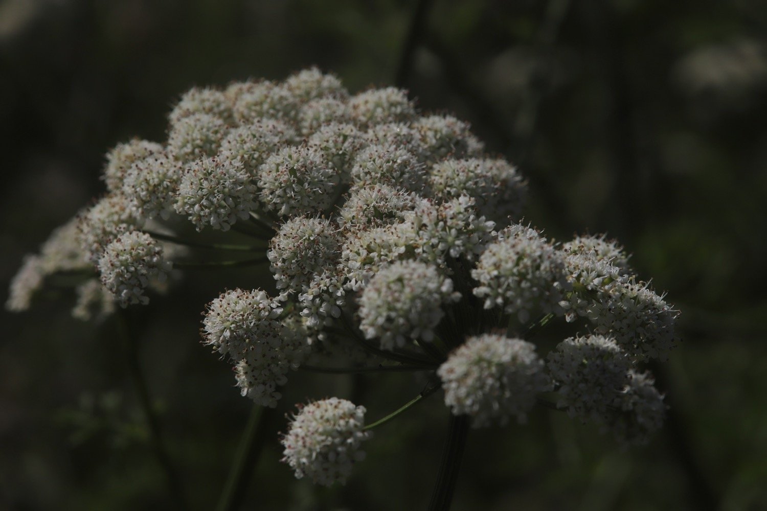
  • hogweed

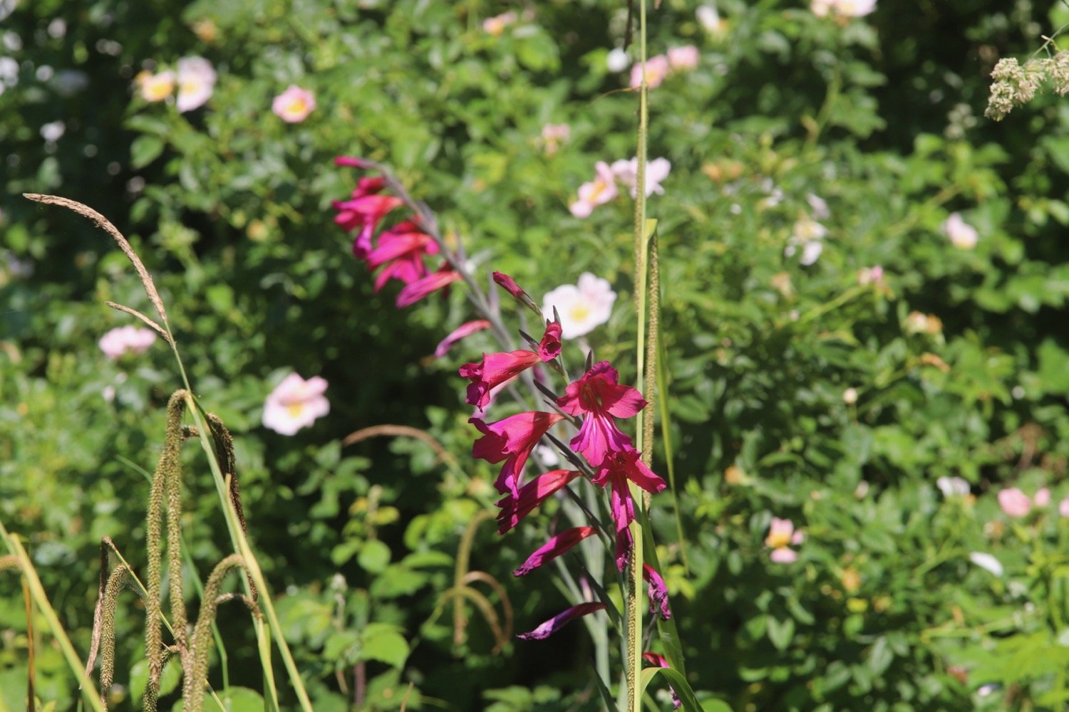
  • gladioli

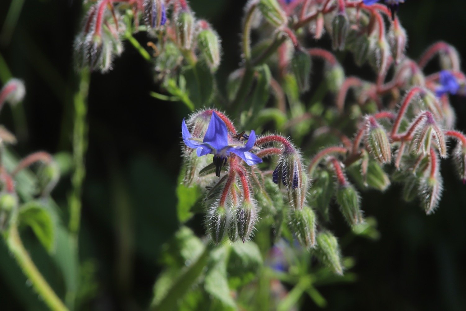
  • borage

  • navelwort

  • cuckooflower

  • wrens

  • robins

  • chaffinch

  • chiffchaff

  • guinea fowl

  • swallows

  • sparrows

  • whitethroat

  • goat’s-beard

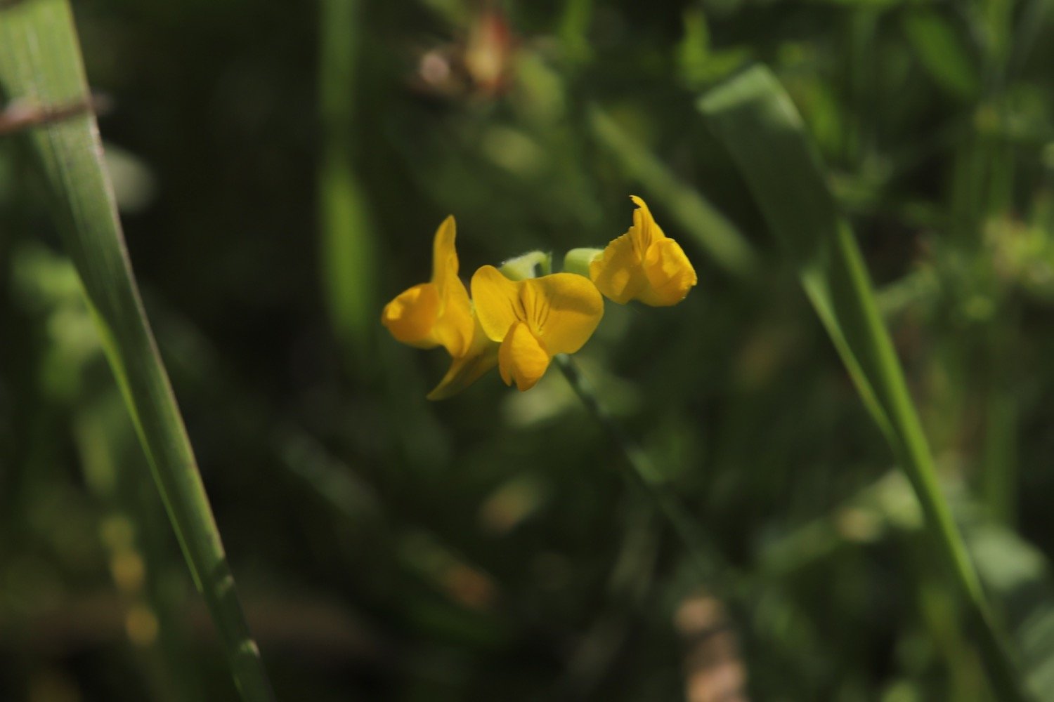
  • common bird’s-foot trefoil

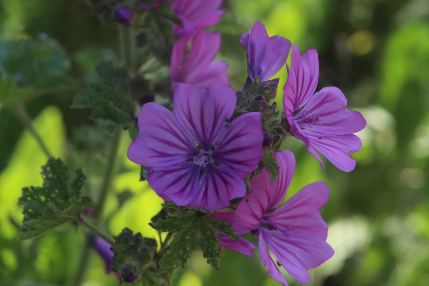
  • common mallow

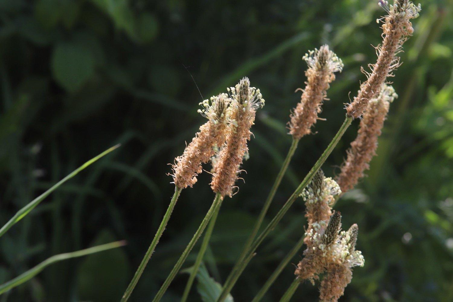
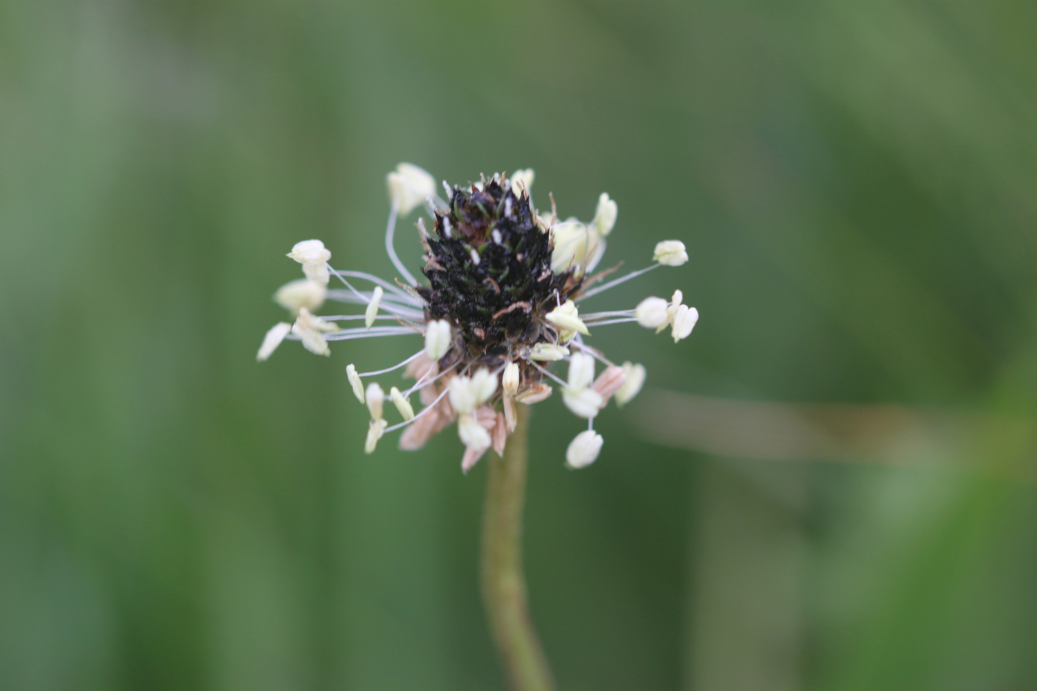
  • ribwort plantain

  • ox-eye daisies

  • sea holly

PODCAST

The podcast of today's walk is now available. You can subscribe via Apple Podcasts or listen using the player below.

MARKS OUT OF TEN?

According to my phone I've walked 7.7 miles which amounts to 18051 steps. It has taken me three hours. The weather has been magnificent again and the walking has been lovely. Ten out of ten!

walk details

map

exe estuary trail

mural

exe estuary

east devon way

(not) beach collection

teignmouth to exmouth

south west coast path

tuesday, 13th september 2016

My weather app is showing me the oddest forecast I've seen in a while. It seems to think it will be 22 degrees, sunny, thundery, rainy and with very little wind. Make up your mind! I wake up early to find thick fog blanketing South Devon. Who knows what today is going to bring.

Exmouth Dock low tide 10:10

Exmouth Dock high tide 16:39

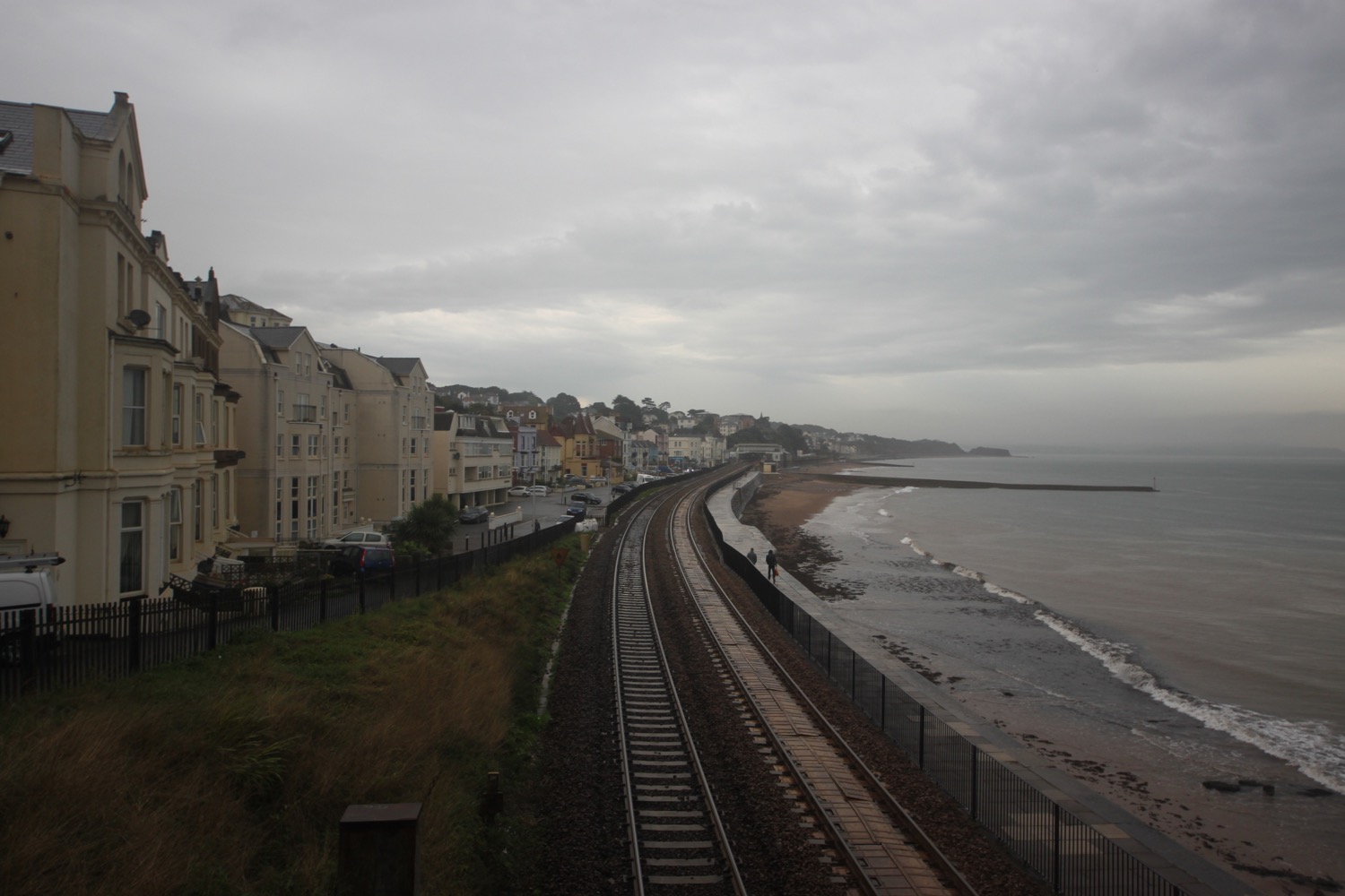
I start the day back on the beach at Teignmouth. It's fair to say that it's not the most exciting walking today with most of the day spent walking along sea walls or flat paths next to the railway but at least I'll finish the day on the ferry over the Exe estuary to Exmouth and back.

teignmouth

The cliffs to my right are still shrouded in fog but the weather out to sea is starting to brighten up.

I walk along the beach and under Teignmouth Grand Pier (@TeignmouthPier), built in 1865 by an engineering consultant from London called Joseph Wilson. The pier suffered badly in the storms of 2014 and was closed for six months but is now almost fully open again.

teignmouth pier

I head up on to the esplanade before continuing along the beach below Teign Corinthian Yacht Club where I have a decision to make as to which direction to take. The last time I was here the weather was filthy and forced me inland but today the tide is far enough out and so passive as to not cause me any problems so I head up the slipway and along the sea wall next to the railway.

This section of the railway was severely damaged in the storms of 2014 and was shut for two months but has now been reopened after being rebuilt at a cost of £35m.

teignmouth sea wall

It's easy walking along the sea wall and I have the odd runner, walker or dog walker for company before  reaching the beach beneath Shag Rock at Holcombe and from here I pass under the railway and walk up Smugglers Lane to reach the main road at Holcombe Cross.

shag rock

railway at holcombe

I continue along the main road before a rather worn sign points me down Windward Lane and I then follow paths next to fields with fine views over Dawlish and towards Exmouth.

view over dawlish

I pass some fellow coast path walkers heading in the other direction and suddenly there is a burst of thunder followed by several other bursts. We are surrounded by thunderstorms. This does not bode well!  

I climb down steps and then over a footbridge over a stream by the railway before climbing up steps to meet the main road. I turn right and walk along a quiet road which used to be the toll road into Dawlish. It has started raining heavily so I reluctantly don my waterproofs. I head down a path and come across a viewpoint overlooking Dawlish. 

thunderstorms over dawlish

I climb down steps towards the railway line and then head along the footpath next to the road into Dawlish. In Dawlish I head under arches beneath the railway so that I can explore the sandy beach. At least I would have done if it wasn't chucking it down. Instead I shelter under the railway arches with several other people and rearrange my equipment so that it's more waterproof.

dawlish beach in the rain

Coast path signs are non-existent but I head inland slightly behind the railway station and follow a path out of Dawlish signposted a bit too late for the coast path. Some signs here warn me that this path will be closed for 5 days either from the 5th of September or the 15th of September, it's hard to tell they are so rubbish. Either way it shouldn't affect me. Sure enough though I come across fresh tarmac and a blocked path.

The blockage is rubbish though and I can easily get through.

I cross a bridge over the railway and follow the sea wall out of Dawlish. It's now very easy walking on the sea wall parallel to the railway. It's a very uneventfull walk with dog walkers, runners and trains for company. Thunderstorms continue to rage out to sea.

a damp dawlish sea wall

I pass the closed and rather forlorn Red Rock Snack Bar at Langstone Rock and cross a footbridge over the railway and follow a road through Dawlish Warren, passing the many holiday parks.

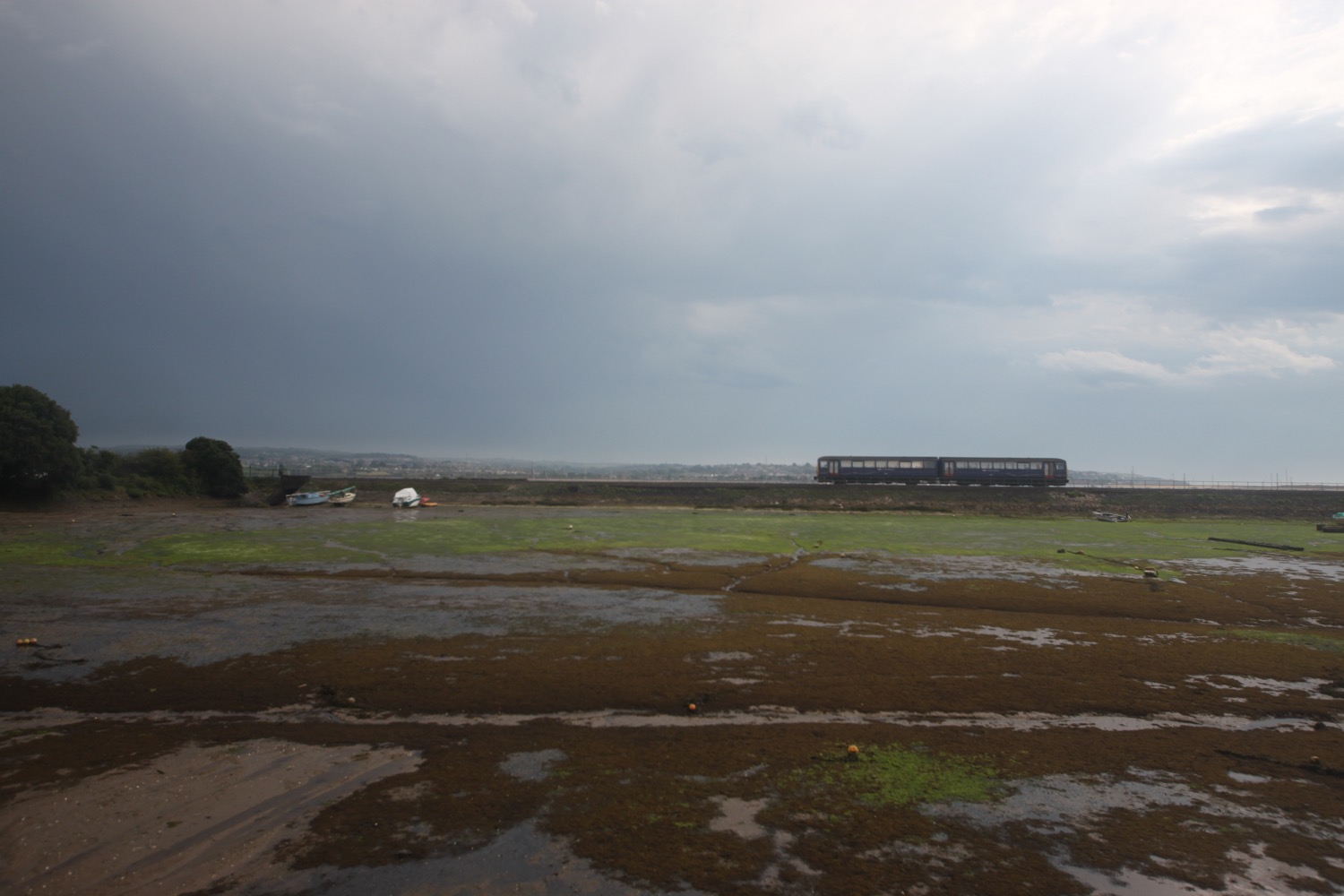
Trains continue to pass me in either direction along the railway and I now have an uneventful walk along the Exe Estuary Trail. Although thunderstorms surround me it is definitely starting to brighten up so i remove my waterproofs and strap them back on to my bag.

I wander along the trail photographing the flowers and berries although my camera is struggling to focus properly in the damp and dreary conditions.

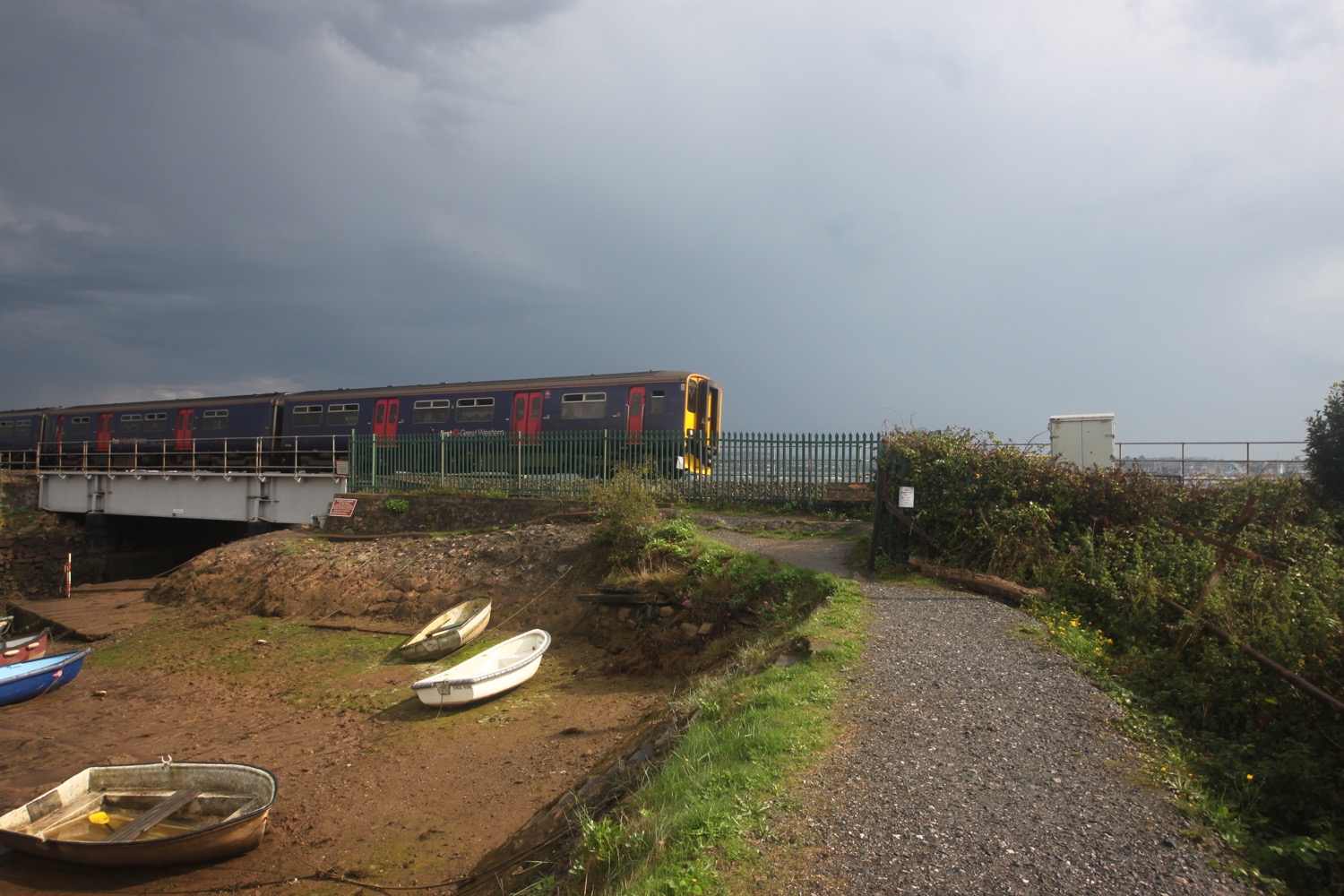
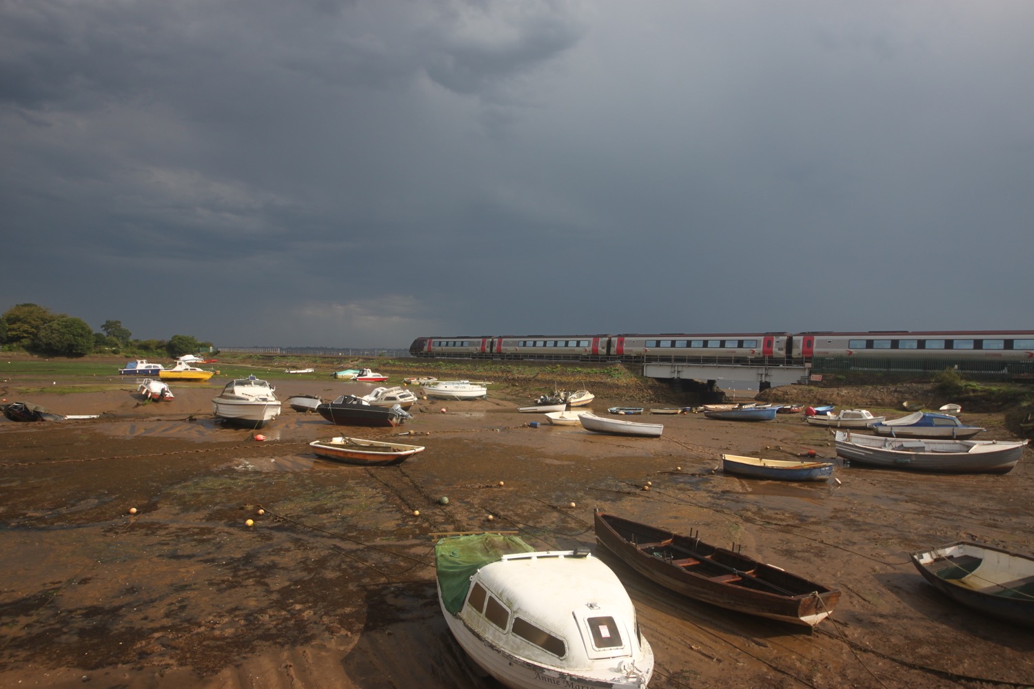
I round the harbour at Cockwood where trains continue to thunder by and pass the Anchor Inn.

harbour at cockwood

anchor inn

I cross the busy main road and a footway takes me to towards Starcross. Several E-type Jags pass me travelling in the opposite direction. I pass Oak Meadow Golf Club, a boarded up and for sale Starcross garage and then the Galleon Inn. 

galleon inn

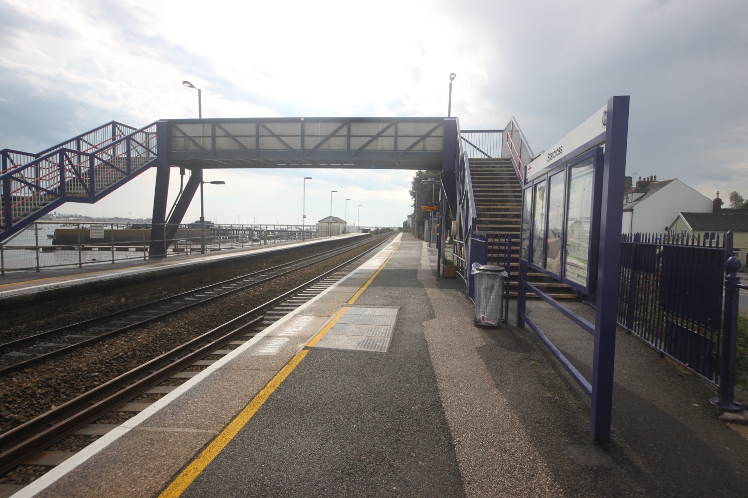
I cross the road and head through the railway station and a footbridge over the railway takes me down to the wooden pier where I can catch the Starcross Ferry over to Exmouth. I've missed the 11:10 ferry by 20 minutes but I'm in plenty of time for the 12:10.

starcross railway station

After a 30 minute wait the ferry arrives and I pay my £5.50 return fair. The journey over to Exmouth takes about 15 minutes and a shower of extremely cold rain passes over the ferry in the middle of the river. I then wander around for a bit before taking the ferry back over to Starcross. The journey over the River Exe and back all seems a bit pointless but I like ferries!

river exe at starcorss

starcross ferry

heading back to starcross on the ferry

It's now time to get my lift back to Marldon. I head up the road, passing the Atmospheric Railway Inn, and head through the car park for the ferry and railway station.

atmospheric railway inn

beach collection
FLORA AND FAUNA

Flora and fauna encountered on the walk today includes :-

  • cyclamen
  • blackberries
  • red campion
  • beeches
  • oaks
  • bull rushes
  • fleabane
  • common knapweed
  • ragwort
  • curlew
  • oystercatchers
  • canada geese
  • red valerian
  • moles
  • little egrets

PODCAST

The podcast of today's walk is now available. You can subscribe via the iTunes store or listen using the player below.

MARKS OUT OF TEN?

According to my phone I've walked a miserly 9.07 miles today which amounts to 19920 steps. It is hard to get a more boring walk than this one on the South West Coast Path and it has been thundery and wet but I've rather enjoyed myself. The ferry across to Exmouth and back has helped as have all of the trains. Nine out of ten!

My total ascent today has been a pathetic 131 metres or 429 feet. The elevation chart looks pathetic!!
MAp

teignmouth pier

teignmouth sea wall

river exe

starcross ferry

exmouth to sidbury via sidmouth

south west coast path

saturday, 7th may 2016

2016 has been a miserable year so far. It has been wet, windy and cold. But hang on a sec, I seem to have a pretty decent forecast for today. It looks like it will be warm and sunny for much of the day.

Exmouth high tide: 07:48

Exmouth low tide: 14:02

Today's walk starts at Exmouth Marina where the Exmouth to Starcross ferry is moored. I'll use this ferry later on in the year to get across the River Exe.

exmouth

From here it's a short walk to the nice, sandy beach. It's high tide so the waves are lapping against the sea wall. I pass the Jubilee Clock Tower on The Esplanade, erected to commemorate the diamond jubilee of Queen Victoria, before continuing along the beach.

jubilee clock tower

I pass by The Grove (@thegroveexmouth), several hotels and the Bath House. I drop down on to the beach and wander along it. Just behind the beach can be found  The Maer, a local nature reserve, which seems to be full of dog walkers.

Towards the end of the beach I pass Exmouth Lifeboat Station (@exmouthrnli) before going through Foxholes Car Park. The path rises out of Exmouth and along the top of cliffs heading towards Orcombe Point.
exmouth lifeboat station
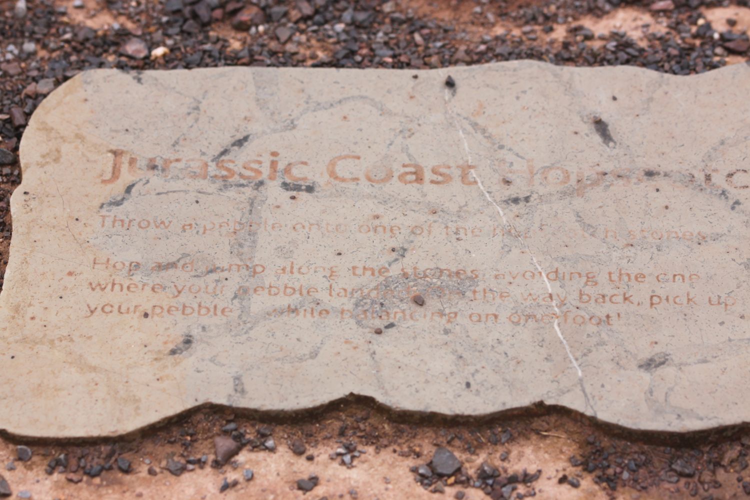
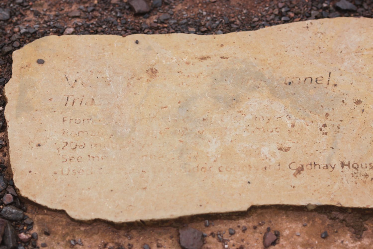
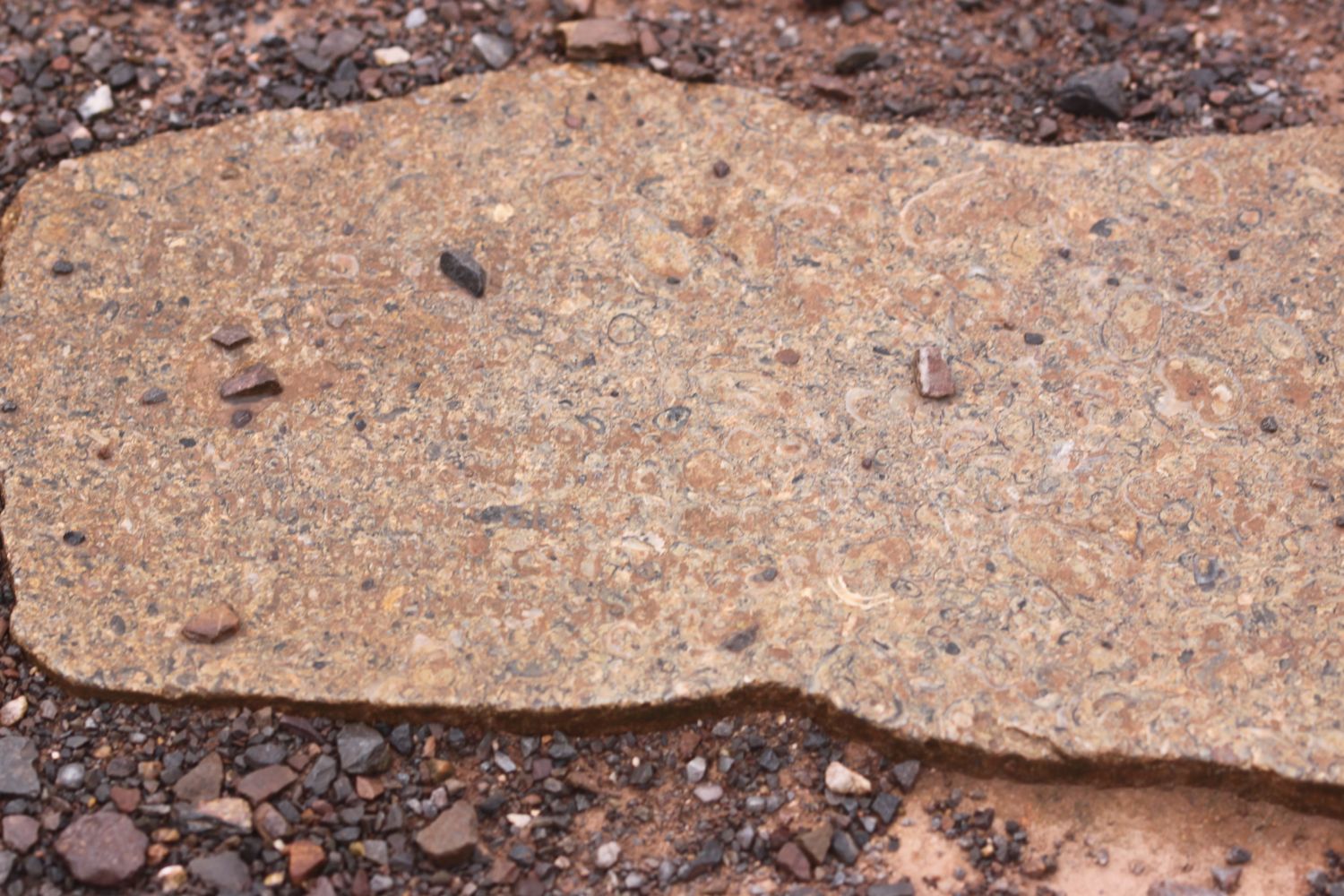
Orcombe Point marks the start of the Jurassic Coast, a World Heritage Site stretching 95 miles from here right the way around to Dorset. The rocks here are 250 million years old and a deep red colour. A sign here gives details of the Jurassic Coast.
You are standing at a remarkable point in the geological story of our planet. About 250 million years ago, most of life on Earth was wiped out. The distant headland to your right holds fossils that record some of the strange creatures that died out. The red rocks in the cliffs to your left were formed when the survivors started to recover.

today's geology lesson

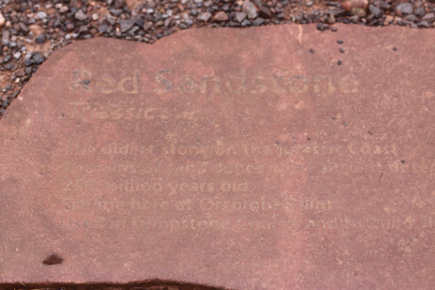
Orcombe Point marks the start of the Jurassic Coast, a World Heritage Site stretching 95 miles from here right the way around to Dorset. The mudstone and sandstone rocks here are a deep red colour and were laid down in a desert 250 million years ago in the Triassic period. There are no fossils in these rocks indicating that in the early Triassic period almost all life had been wiped out. 

The beach at Budleigh Salterton is made up of pebbles derived from the Budleigh Salterton Pebble Beds and are made largely of Quartzite.

At Ladram Bay, there is a series of red sandstone stacks out at sea, all that remain of what were once natural rock arches that were once joined to the cliff.

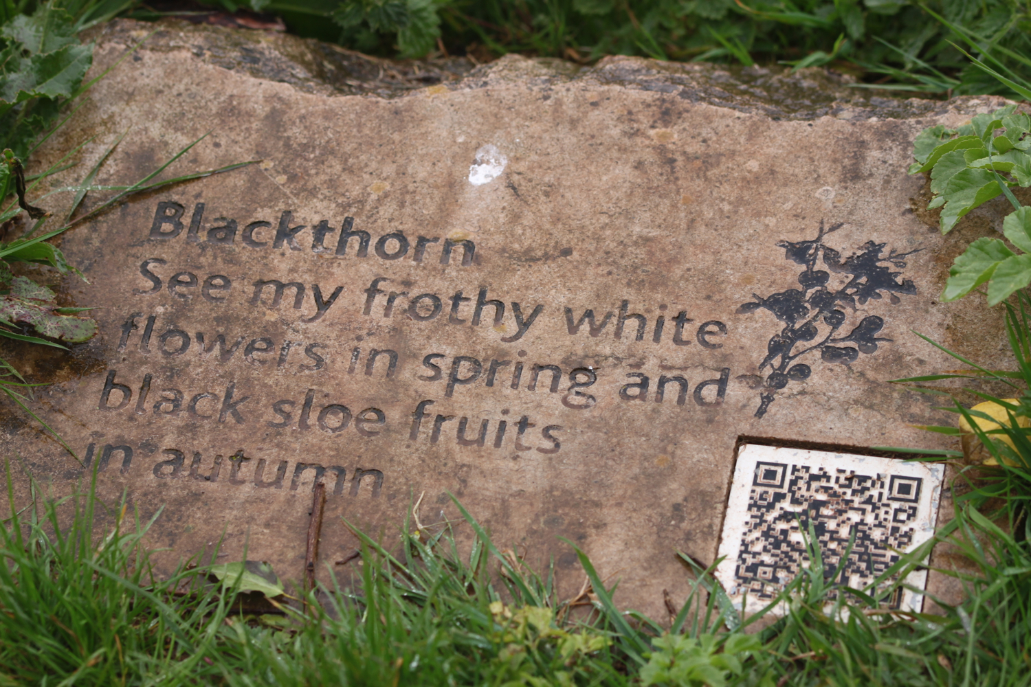
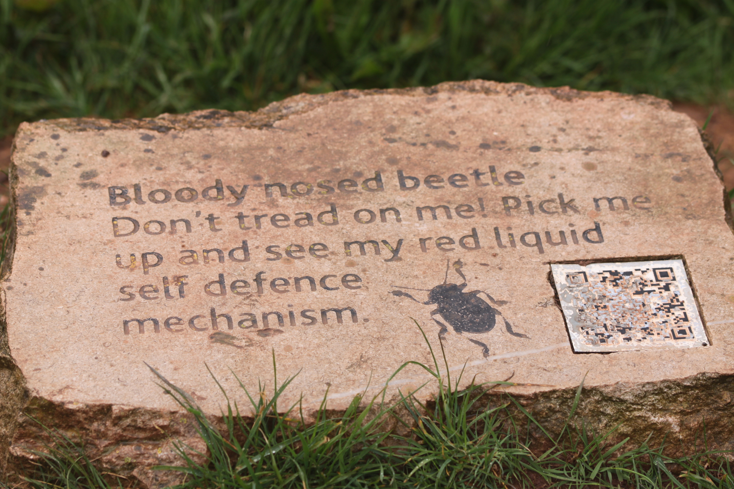
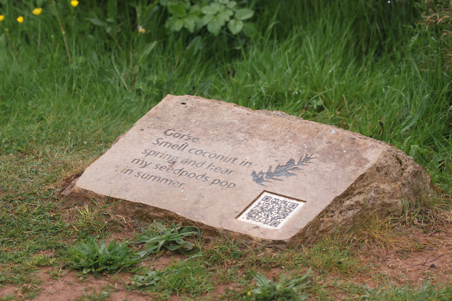
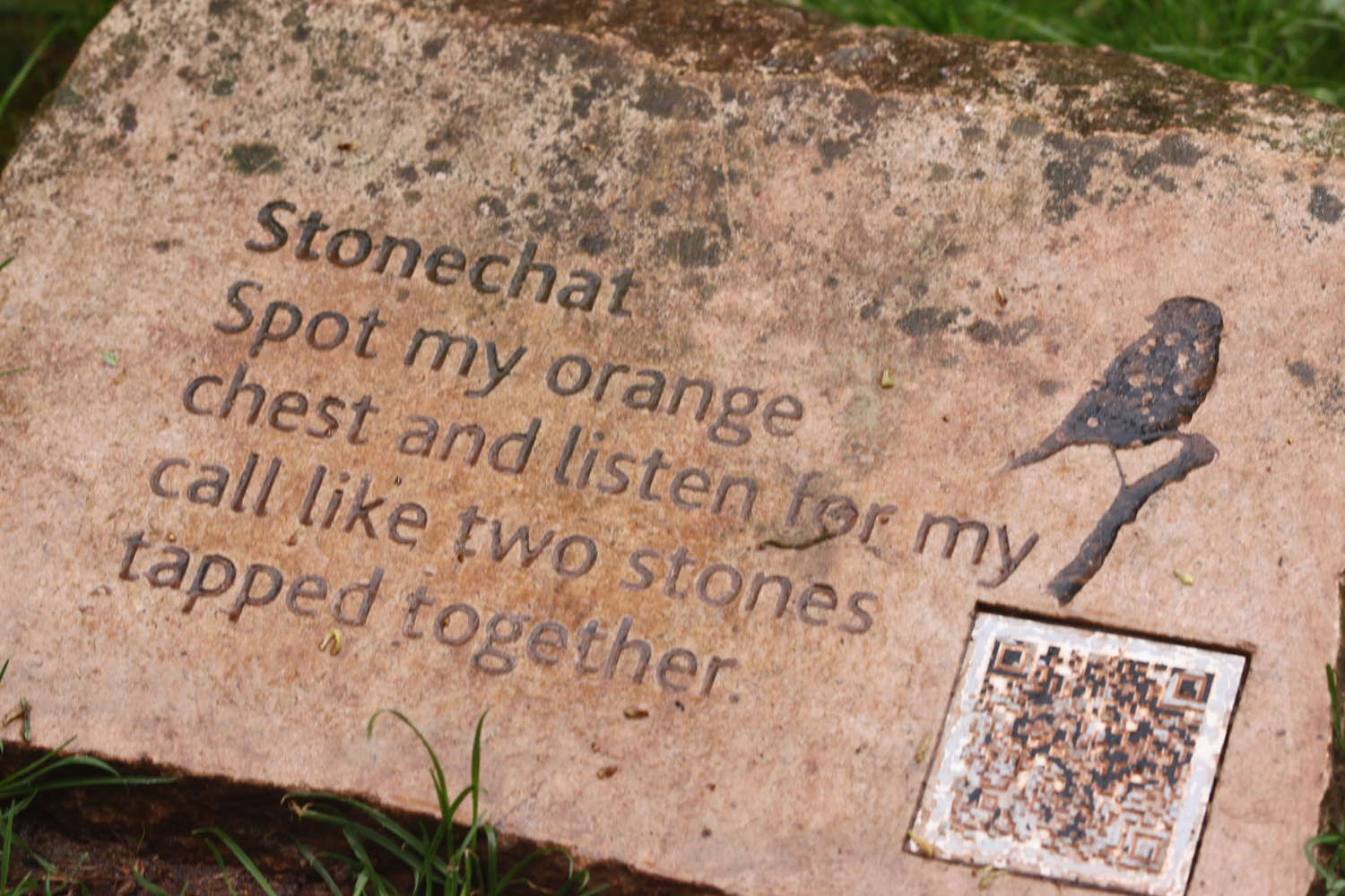
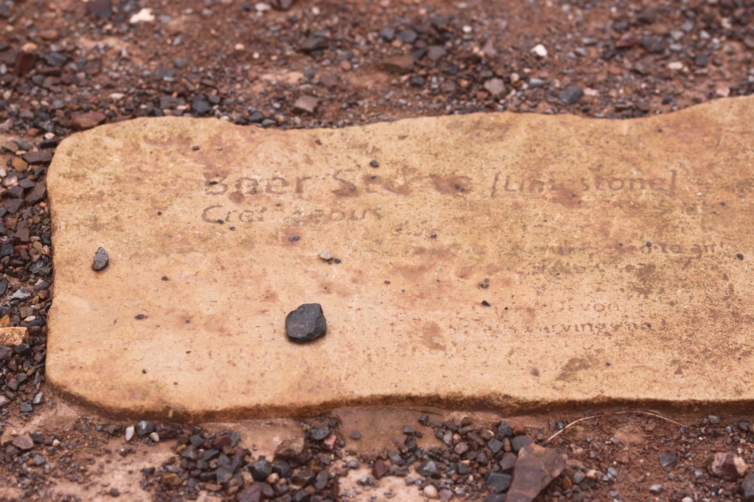
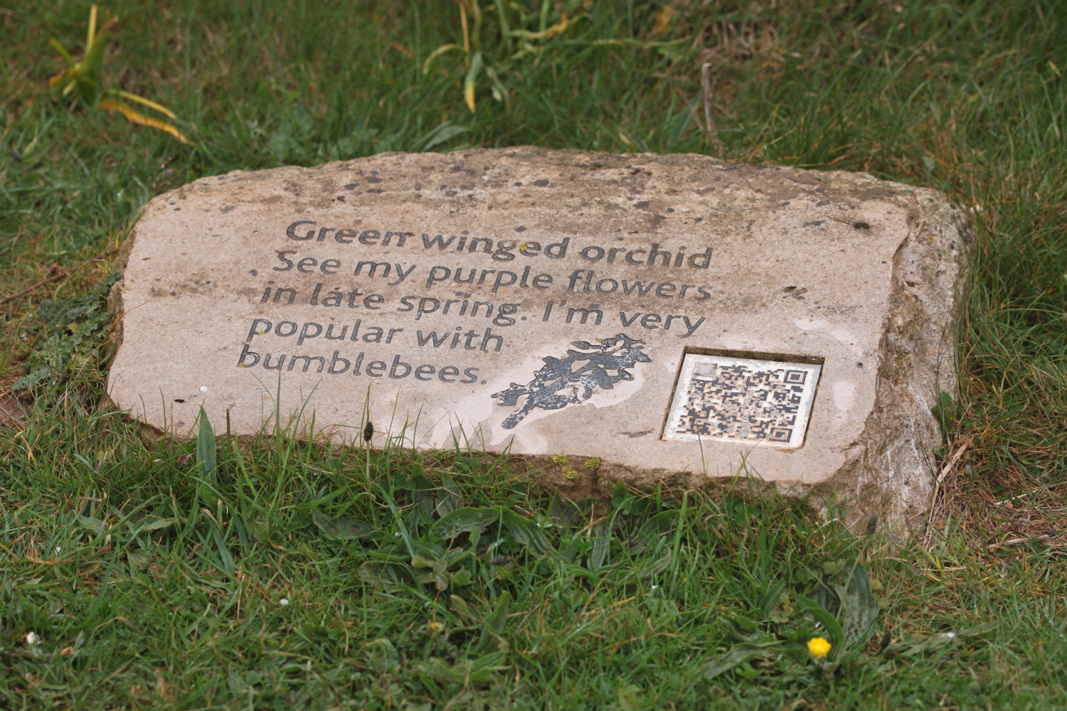
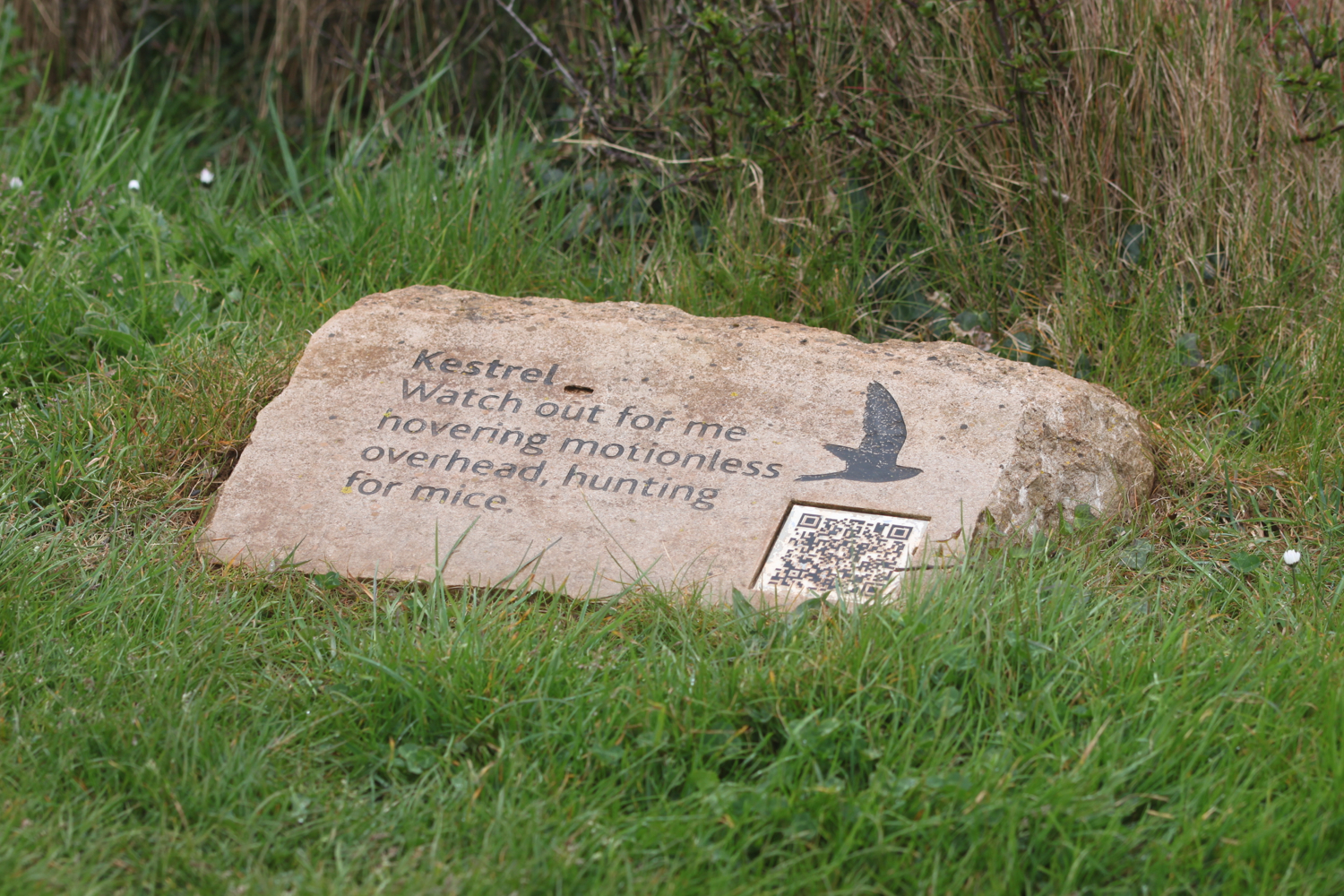
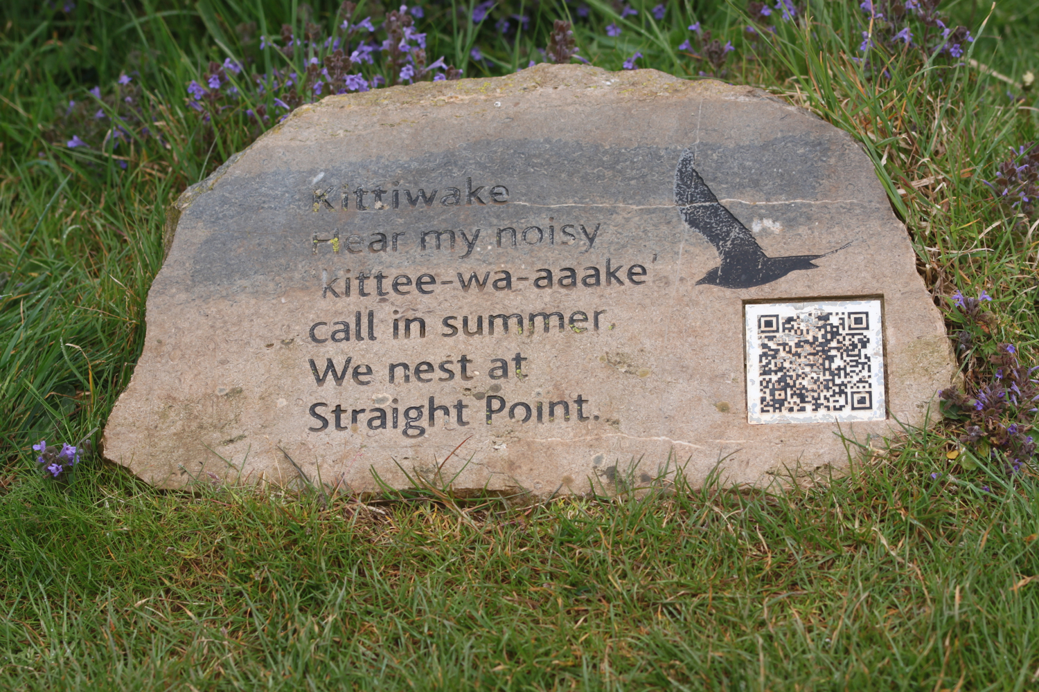
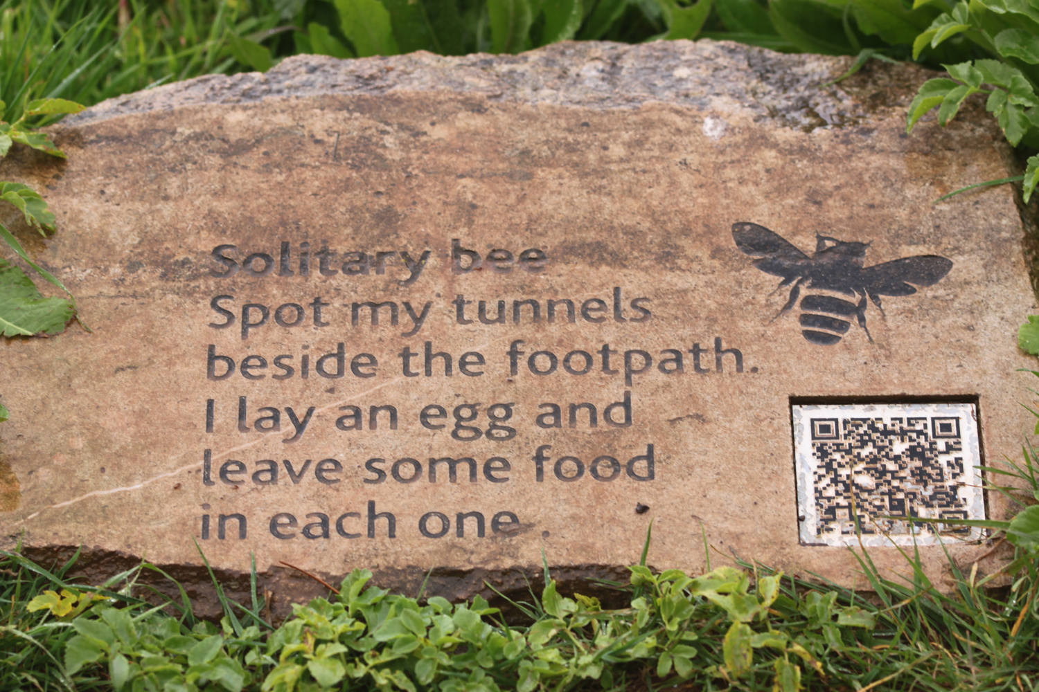
I enter the High Land of Orcombe and pass information stones containing information on blackthorn, solitary bees, stonechats, bloody nosed beetles, green winged orchids, gorse, kestrels and kittiwakes.

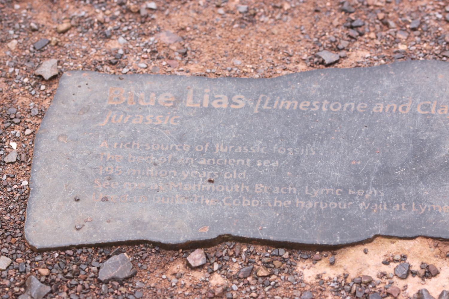
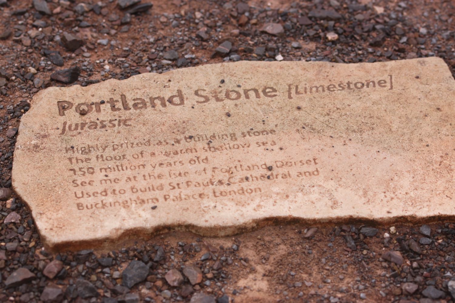
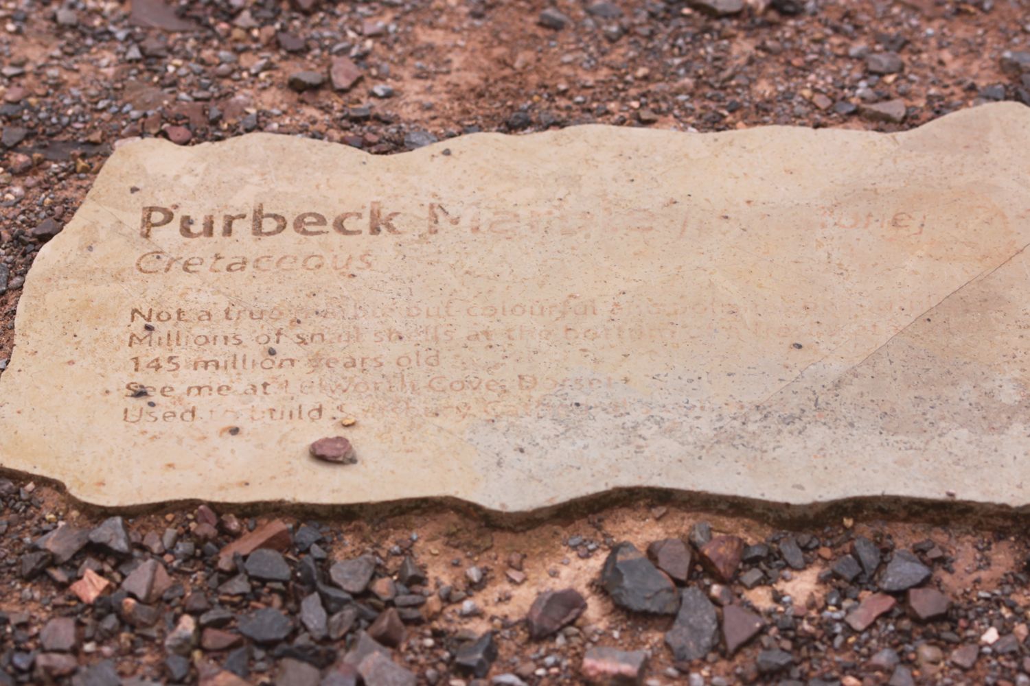
I pass the Geoneedle which marks the start of the Jurassic Coast which was unveiled by His Royal Highness the Prince of Wales on the 3rd of October 2002. The Geoneedle is constructed from a variety of different stones, representing both the major building stones to be found on the Jurassic Coast and the sequence of rocks that form this part of the coastline. There are blocks of stone set into the ground but they are starting to be a bit worn after 14 years.

geoneedle

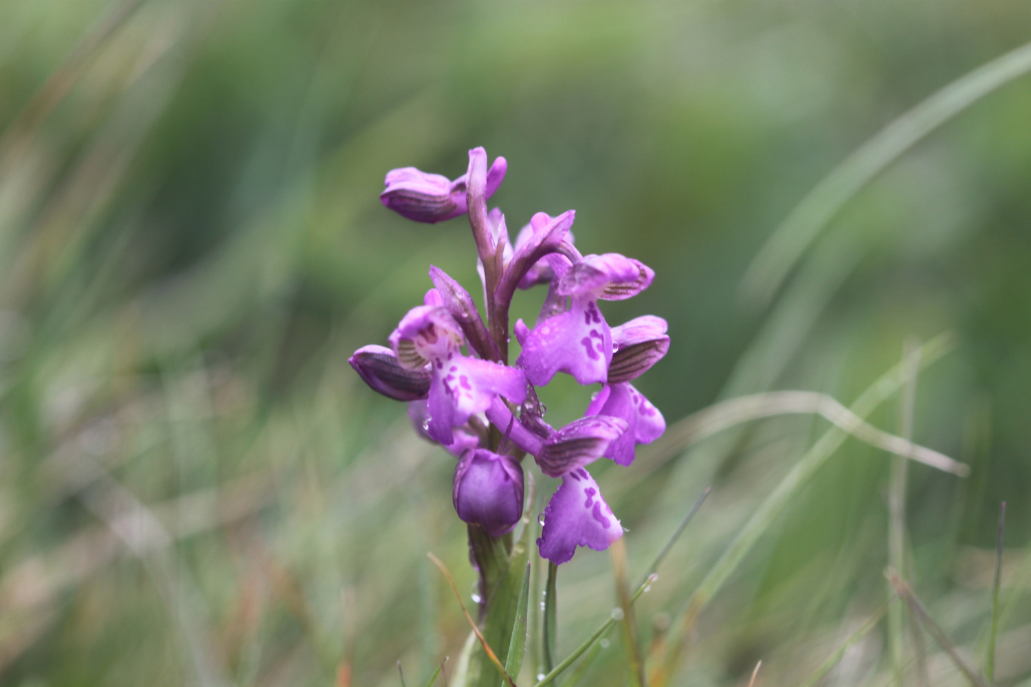
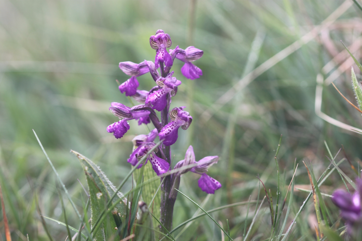
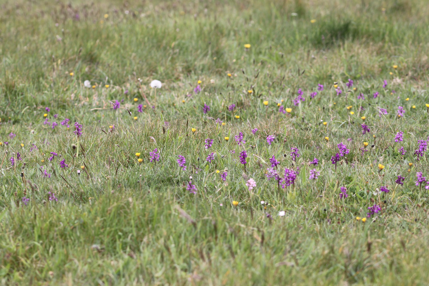
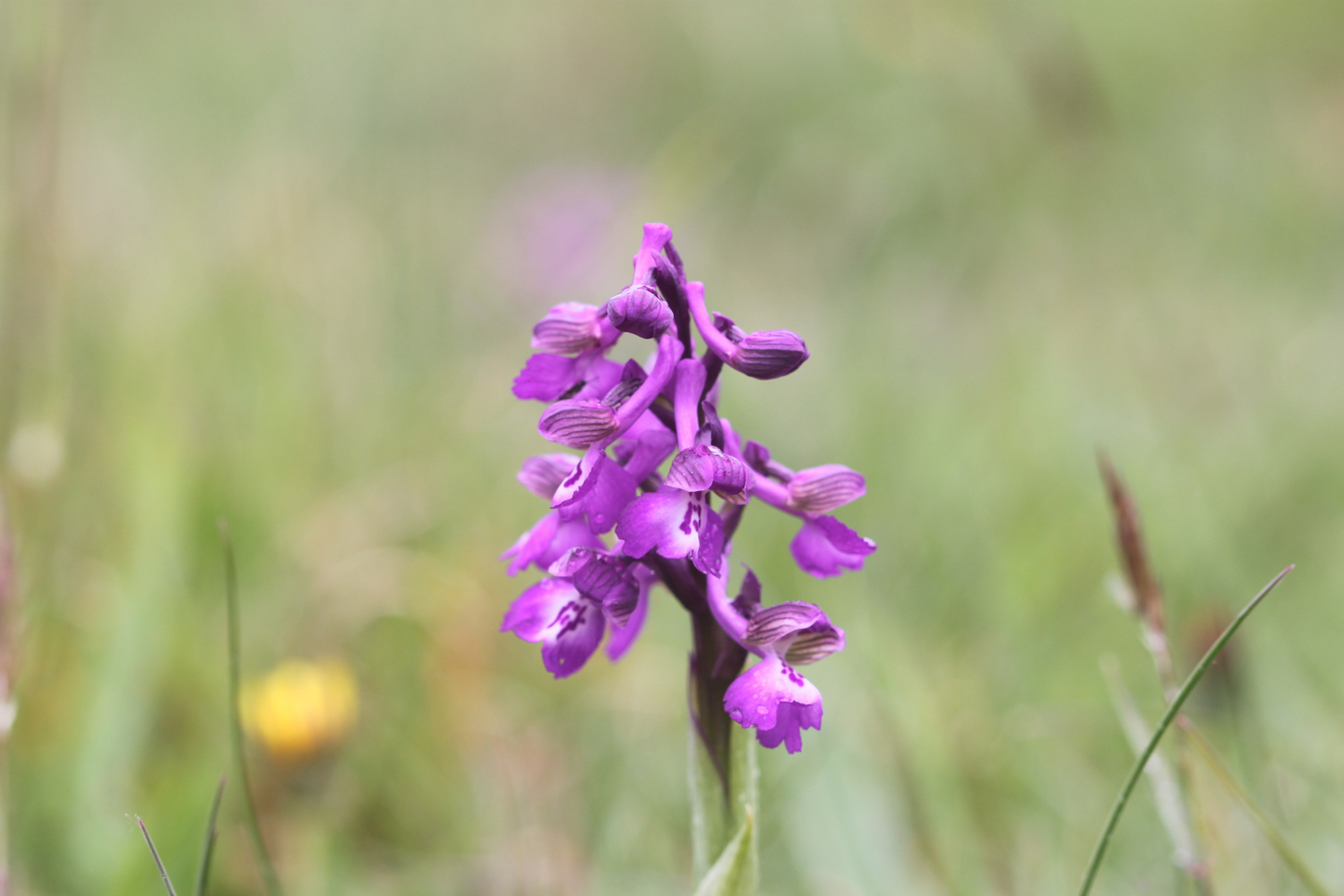
I come across a fine patch of green winged orchids - my first orchids of the season - near to the geoneedle.

The wild flowers are starting to look lovely. I come across a herd of very friendly cows who, as soon as they see me, stop munching on the grass and crowd the barbed wire fence instead, wanting me to scratch their heads which I dutifully oblige.

friendly cows

I stay up on the cliffs passing through the Devon Cliffs Holiday Park, before dropping down onto the beach just before Straight Point.

devon cliffs holiday park

The Royal Marine Straight Point Rifle Range is found on Straight Point and they were practising intermittently today.

sandy bay

After wasting some time on the red, sandy beach I climb back onto the cliffs, passing inland of the rifle range, to reach Littleham Cove where there are fine views of the lovely crumbling red sandstone cliffs. The sea here is red with sand.

littleham cove

I keep well away from the edge of the crumbling cliffs and climb onto Beacon Hill.

I'm now walking below the East Devon Golf Club and the path continues through some woodland before a tarmac path leads in to Budleigh Salterton and its pebbly beach where I come across some colourful beach huts as well as an ice cream hut. I have lovely views along the beach and across the bay.

budleigh salterton

I head along the sea front passing below the shops, pubs and restaurants that make up the town. I pass some fossil roots showing in the sandstone dating back 235 million years ago. Towards the end of the town I pass a shelter which I used three years ago while a thunderstorm raged around me.

fossil roots

As I leave Budleigh Salterton I pass the lovely ground of the Budleigh Salterton Cricket Club where sparrows are making an awful racket.

I'm now walking along the River Otter where the Otter Estuary Nature Reserve can be found. It is a pleasant walk inland along the river listening to the bird song before I cross the River Otter over White Bridge. I pass a sign for Pyne's Farm Shop and then head back to the coast over the other side of the river. Somewhere around here is a colony of beavers but I don't see any. I don't see any otters either but there are plenty of noisy geese here.

otter estuary nature reserve

I now have some fine views back over to Budleigh Salterton and there are some fine clumps of scots pine. I come across someone flying their DJI Phantom drone which makes an awful noise as it comes in to land.

view back to budleigh salterton

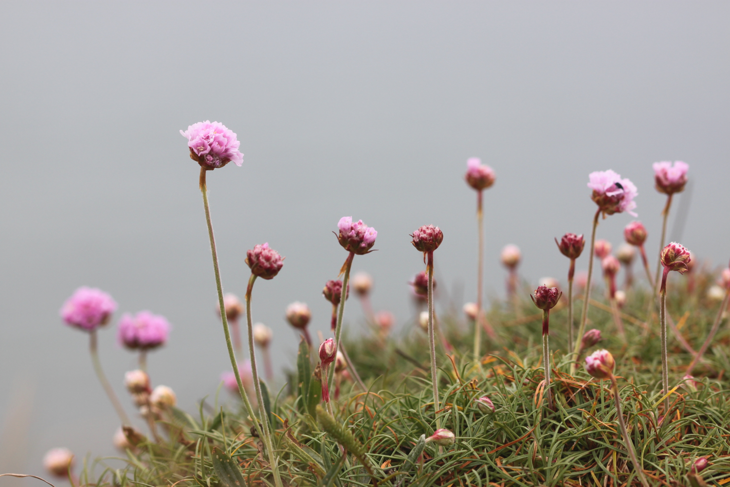
More red sandstone cliffs are climbed and the sea thrift is looking lovely - probably two weeks in advance of the clumps at home.

sea thrift

Skylarks are singing their hearts out. The going from here to past Sidmouth is going to get pretty rough. I pass Danger Point, Coal Beach, Black Head, Poolness Beach and Brandy Head, named after the smuggling activities which were once rife along this coast. I come across the Brandy Head Observation Hut, used in World War II to test aircraft mounted cannon and gun sights.

brandy head observation hut

I pass Twopenny Loaf Rock, Crab Ledge and Smallstones Point before coming across another holiday park at Ladram Bay.

The beach here is pebbly and there is a series of red sandstone stacks out at sea, all that remain of what were once natural rock arches that were once joined to the cliff.

ladram bay

ladram bay stacks

I pass the Three Rocks Inn before continuing along the grassy slopes which give way to a steep climb through the woods of High Peak where I sheltered from filthy rain three years ago. I pass inland of Little Picket Rock, Big Picket Rock, Green Point, Wheel Rock and Tortoiseshell Rocks. I come across a National Trust sign at Peak Hill, where ponies are munching on the grass. There are beautiful wild flowers all over the place.

The path eventually reaches a road which drops in to Sidmouth. I walk down a path to the side of the road where I have lovely views over Sidmouth.

view over sidmouth

I make my way down to the beach at the western end of Sidmouth which is sandy, in stark contrast to the main beach at Sidmouth, which largely consists of pebbles except at low tide. It's rather busy on this fine, sunny Saturday.

sidmouth

I make my way past the wooden steps called Jacob's Ladder at Connaught Gardens and then wander through Sidmouth along the esplanade, passing the various shops, pubs, cafes and restaurants.

jacob's ladder

We're staying in a cottage in Sidbury for the week which is about three miles inland of Sidmouth so it's now time to leave the coast path and head for our home from home. 

The eastern side of Sidmouth is where the original fishing village was based but by the end of the 19th century the fishing trade had declined. Rich people discovered Sidmouth during the Napoleonic Wars and began to visit and settle in the town which explains the large and ornate buildings which now make up the town.

I reach the River Sid and have no idea where I'm going now but figure that if I roughly follow the River Sid I should be OK. I start to head inland and come to a road fording the river but fortunately there's a footbridge over the river so I don't have to get my feet wet.

 I pass a toll house which was built in the early 19th century and once controlled the eastern approach to the town. The original toll gate now hangs next to the toll house.

toll house

toll house gate

I enter Byers Riverside Park and pass several weirs walking along the river valley floor and criss cross the river over bridges on the approach to the village of Sidford, which seems to now be an extension of Sidmouth.

weir

I pass the red bricked St Peter's Church, built in the Victorian era. 

st peter's church

I continue through Sidford and cross the river using a footbridge which was the original packhorse bridge and said to date from around 1100. I then pass the Blue Ball Inn. I now gently ascend towards Sidbury, passing fields of yellow rape.

rape

I turn into Deepway and pass Sidbury's cemetery on the outskirts of the village.

sidbury cemetery

Visible over to my left is a wooded hill now known as Sidbury Castle but earthworks here date from the early Iron Age. I cross another bridge over the River Sid where our cottage for the week sits. I then pass the lovely 18th century cob cottages which line Bridge Street.

cottages on bridge street

I've now reached my destination for the day, Sidbury, so there is just time to visit the rather attractive Church of St Giles, which dates from Saxon times but looks mostly to be Norman and later. There still exists a 7th century saxon crypt under the chancel.

church of st giles

That's my walking done for the day and there's plenty of time to visit the Red Lion pub opposite the church. Hang on a sec! It closes at 3 even on a Saturday!! Good job our fridge is loaded with cool, refreshing bottles of Doombar.

red lion pub

FLORA AND FAUNA

Flora and fauna encountered on the walk today includes :-

  • swifts
  • chaffinches
  • green winged orchids
  • housemartins
  • goldfinches
  • chiff chaffs
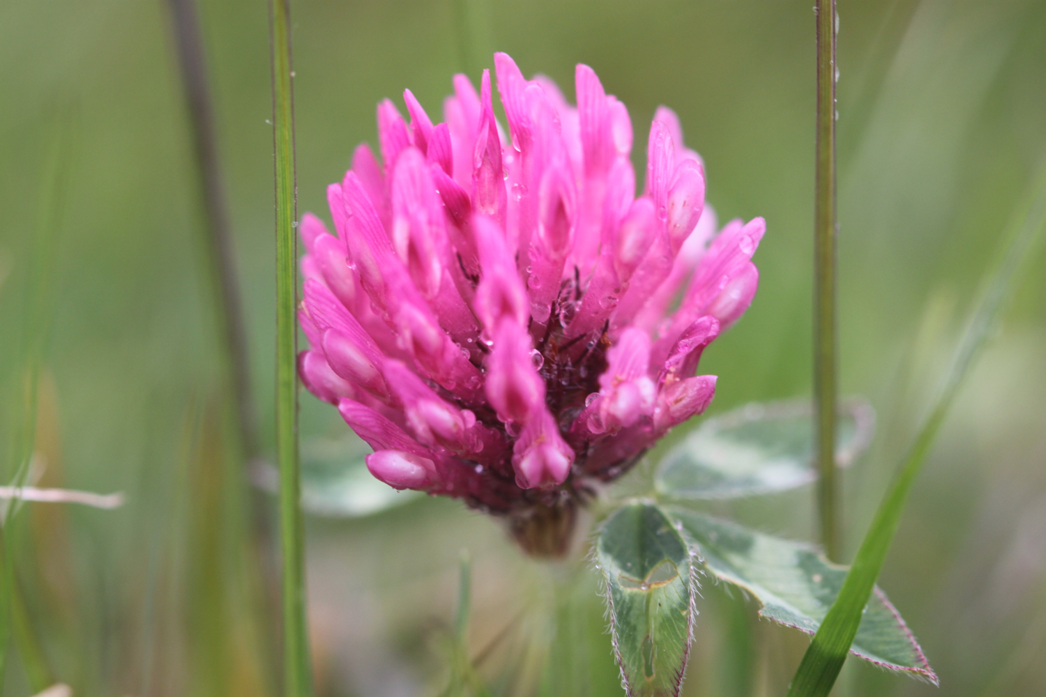
  • clover
  • cows
  • bluebells
  • red campion
  • beetles
  • germander speedwell
  • lords and ladies
  • sparrows
  • peacock butterflies
  • orange tip butterflies
  • skylarks
  • scots pine
  • green alkanet
  • cow parsley
  • cuckooflower
  • red admirals

PODCAST

The podcast of today's walk is now available. You can subscribe via the iTunes store or listen using the player below..

MARKS OUT OF TEN?

According to my phone I've walked 17.94 miles today which amounts to 39275 steps. It has been a beautiful first day's walking on the South West Coast Path this year and the weather has been glorious. Well, as glorious as it has been this manky year. Nine out of ten!

My total ascent today has been 693.30 metres or 2274 feet.

video

map

green winged orchid

exmouth to seaton

south west coast path

3rd october 2013


Today's weather forecast looks to be on the ropey side.

Turns out it was worse than forecast. It started raining heavily just before I reached Budleigh Salterton, I walked through a thunderstorm while going through Budleigh Salterton. After that the weather turned much worse and I walked through another big storm while going through Sidmouth and beyond. 

The rain finally relented just before I reached Branscombe and then it turned into rather a nice afternoon. By then I was soaked though! 

weather forecast.jpg

Today's walk starts at Exmouth and since there's a nice, sandy beach here I might as well stroll along it for a bit. I couldn't find any signs so lucked upon the coast path by going through Foxholes Car Park just before Orcombe Red Rocks.


exmouth

orcombe red rocks

A path rises out of Exmouth to reach High Land of Orcombe and the start of the Jurassic Coast, a World Heritage Site stretching 95 miles from here right the way around to Dorset. A sign gives details of the Jurassic Coast and a Geoneedle can also be found which was unveiled by His Royal Highness the Prince of Wales, in 2002. The Geoneedle is constructed from a variety of different stones, representing both the major building stones to be found on the Jurassic Coast and the sequence of rocks that form this part of the coastline.

jurassic coast sign

geoneedle

geoneedle

I stay up on the cliffs passing the Devon Cliffs Holiday Park and the Beachcomber Bar before dropping down onto the beach just before Straight Point. The Royal Marine Ranges is found on Straight Point and they were practising today so a lot of gunfire was disturbing the tranquility. I climb back onto the cliffs, passing the rifle range, to reach Littleham Cove where there should be some fine views of the lovely crumbling red sandstone cliffs but it was a bit misty and the sea was red with sand.

beach and rifle range

littleham cove

I keep well away from the edge of the crumbling cliffs and climb onto Beacon Hill. A trig point is found showing the height to be 423 feet.

The path continues through some woodland and it is around here that it started chucking it down so I had to don my waterproofs. A tarmac path leads in to Budleigh Salterton and its pebbly beach. It was still chucking it down so I saw very little of Budleigh Salterton except for a shelter which I stayed in for a few minutes as a thunderstorm passed by.

budleigh salterton

budleigh salterton

I head along the sea front in the pouring rain but can't see very much.

The River Otter and the Otter Estuary Nature Reserve are reached so I turn inland in order to cross the River Otter via a road and then head back to the coast over the other side of the river. I don't see any otters but there are plenty of noisy geese here. There should be some fine views back to Budleigh Salterton but it's still chucking it down and still a bit misty.

view back to budleigh salter ton

More red sandstone cliffs are climbed and the going from here to past Sidmouth is going to get pretty rough. Another holiday park is encountered at Ladram Bay and a series of red sandstone stacks can be seen offshore.

ladram bay

There are lots of grassy slopes here including at Peak Hill but the path eventually reaches a road which drops in to Sidmouth

As I make my way through Sidmouth it is blowing a gale as well as tipping down with rain so I duck inland a bit to try and get some shelter. It's not the weather for photographs!

After enjoying the delights of a wet and windy Sidmouth I cross a bridge over the River Sid before climbing back onto the cliffs via a tarmac path. It's quite a climb up here (525 feet) but there are some benches at the top to rest and admire the view. Well, I admired it last time I was here in 2005 but there's not much to be seen today. 

view back to sidmouth

The path continues past South Combe Farm and down some steps to Salcombe Mouth where there is a pebbly beach. The coast path however, heads inland before climbing up on to the cliffs again at Higher Dunscombe Cliff. Even on this filthy day the views are spectacular. Here can be found the Weston Plats where, in the 19th century, thanks to the unique micro-climate on these cliffs, local residents were able to produce early crops of flowers, vegetables and strawberries.

view from the cliffs

weston mouth

After a walk along the clifftops the path descends on some steps to the beach at Weston Mouth. The path climbs steeply yet again to the top of Weston Cliff and then passes Weston Wild Flower Meadow. Unfortunately it's the wrong time of year now to enjoy the butterflies but if I came at the right time I could see Brimstones, Orange Tips, Skippers, Common Blues, Marbled Whites, Meadow Browns, Painted Ladies, Clouded Yellows and Red Spotted Burnets.

The path ducks inland at Coxe's Cliff before heading over grassy clifftops and descends once again, this time to Branscombe Mouth. The 62,000 tonne container ship MSC Napoli was beached here in January 2007 after experiencing difficulties during a storm.  After containers started to get washed up on the beach, scavengers started arriving to 'recycle' the contents. Unfortunately there are no longer any spare motorbikes lying around! The anchor of the ship, weighing 14 tonnes, was presented to the people of Branscombe by the ship's owners and was installed here in July 2008.

msc napoli anchor

branscombe beach

The weather has now vastly improved so I'm able to enjoy the beach here before another climb takes me to the top of East Cliff and I enter another caravan park, the Sea Shanty Caravan Park and then the coast path heads through the Hooken Undercliff, formed in 1790 by a slump in the chalk cliffs. I'm thankful for the undercliff as it saves me a hefty hike to the top of the cliffs.

hooken undercliffs

hooken undercliffs

I zig zag back up to the top of the cliff and round Beer Head before reaching the village of Beer. The Anchor Inn is on the seafront at Beer, just by the slipway, but seems to be lacking any signage whatsoever today. I continue to reach the Jubilee Memorial Grounds before joining a road.

beer

beer

Following exceptionally wet weather in 2012, there was a cliff fall severing part of Old Beer Road along  which the South West Coast Path used to run. As a result Old Beer Road is closed for walkers. It looks like a new route is being completed as I'm diverted through some woods to reach the other side of Old Beer Road. From here I trudge wearily into the destination for today, Seaton. It's been a long day!


FLORA AND FAUNA

Flora and fauna encountered on the walk today includes :-

  • noisy geese
  • little egrets
  • kestrels
  • no otters

Podcast

The podcast of today's walk is now available.  You can subscribe via the iTunes store or listen using the player below.

podcast logo small.png

MARKS OUT OF TEN?

According to my phone I've walked a whopping 24 miles today which amounts to 51851 steps. Despite the atrocious weather for most of the day it has been a great day's walking with plenty of interest to see (or not) throughout the day. 9 out of 10.


9 out of 10.png

View exmouth to seaton in a larger map

exmouth