
coverack to helford
south west coast path
saturday, 11th september 2021
Today's weather forecast looks great with sunny spells all day long and very little in the way of wind so it might be a bit on the warm side.
Helford river entance high tide 08:58
Helford river entrance low tide 15:22


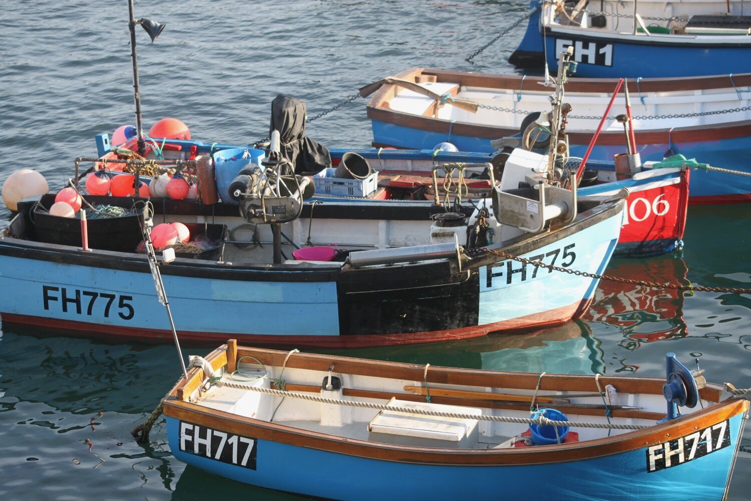
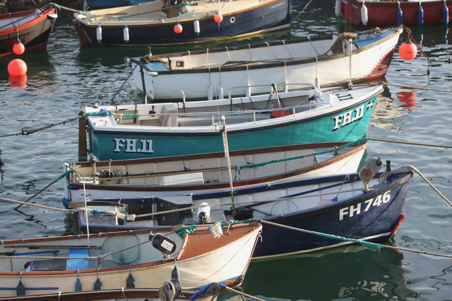
I start the day back at the harbour in Coverack where I left the South West Coast Path back in June.
“Coverack - Fishing village on the shore of a rocky bay which has a sandy bottom and looks as translucent as a swimming pool. Stone pier and lifeboat station at the southern end of the village. Boats run fishing trips for visitors.”
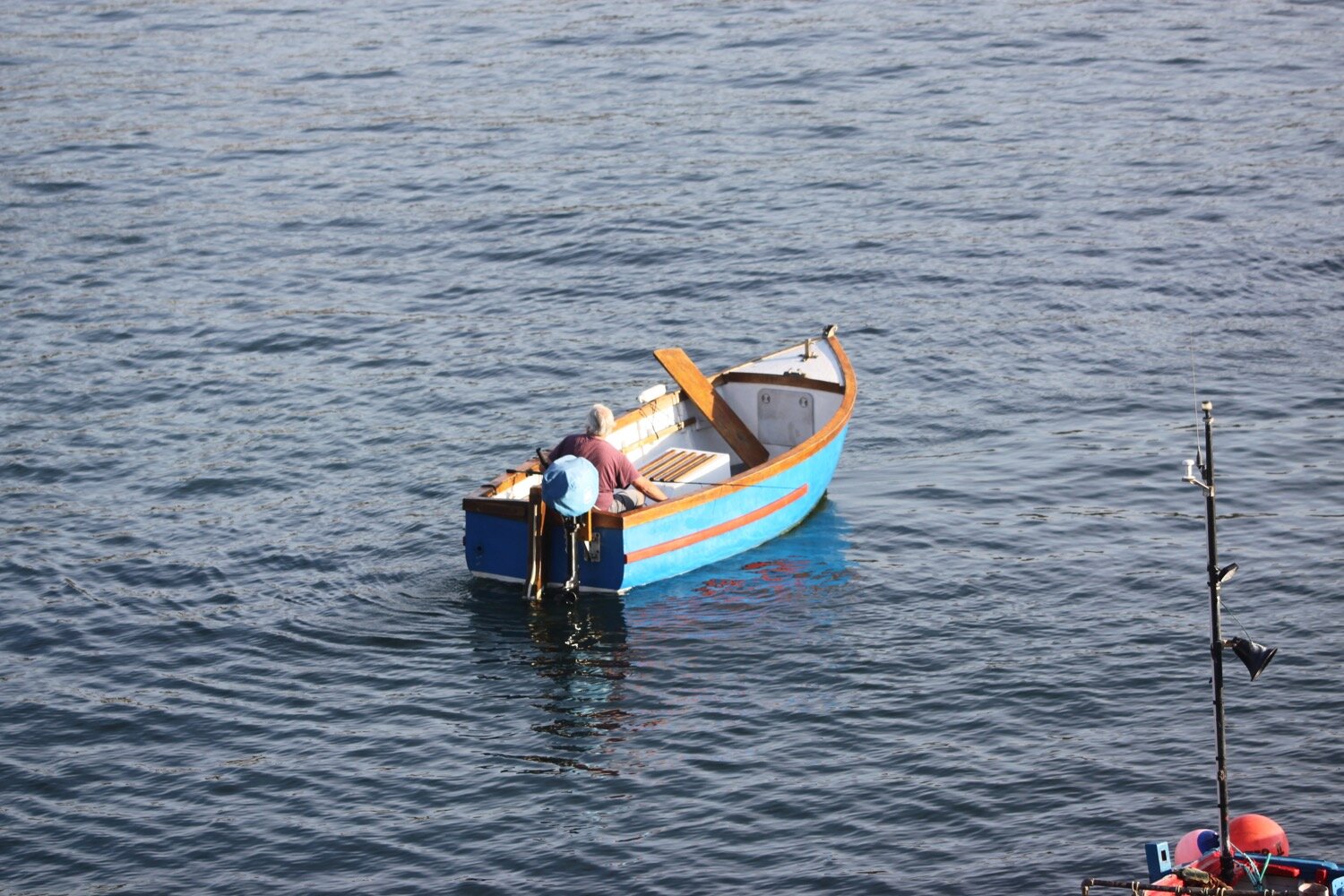
I pass the small harbour full of fishing boats and continue through the village of Coverack.
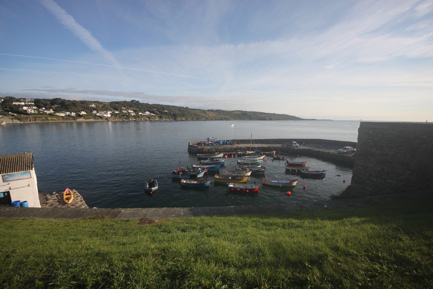
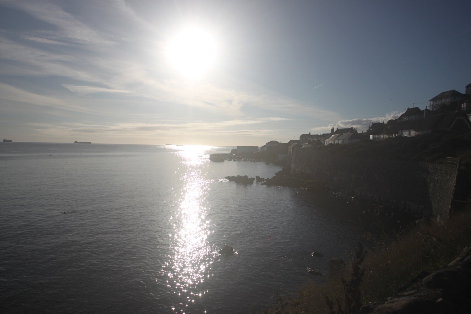
Coverack is looking lovely on this late summer's day. I visit St Peter's, Coverack’s parish church where signs warn about leaving wilting flowers in the churchyard and the consequences of doing so!
st peter’s
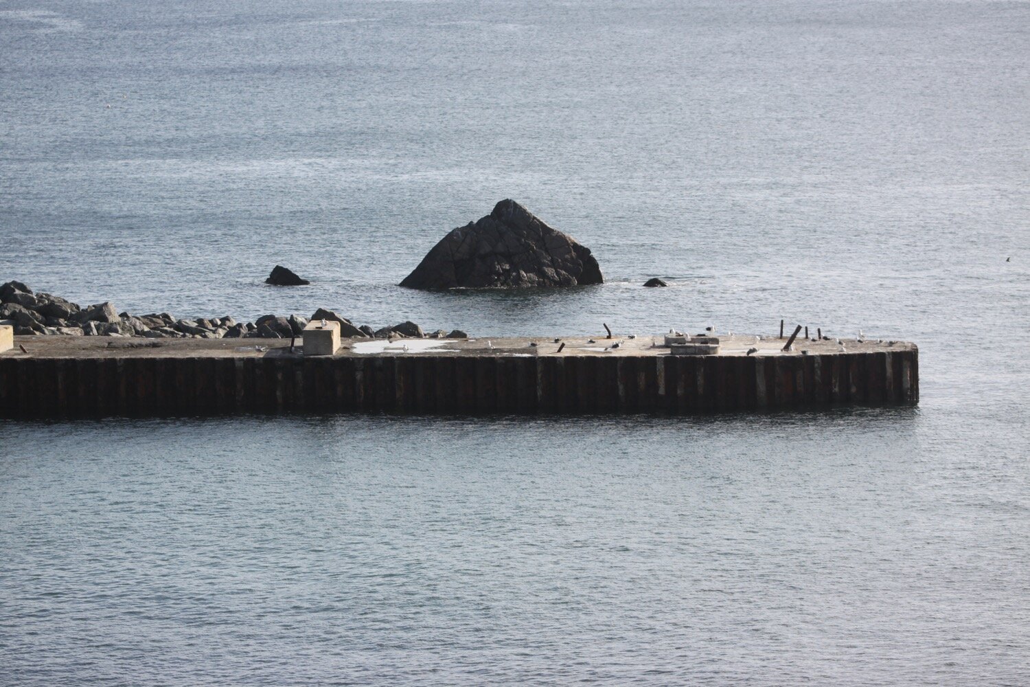
I must be almost bang on high tide as there is only the tiniest slither of beach.
I climb a tarmac road to leave Coverack and then enter a muddy area using granite stepping stones to keep relatively dry and mud free. It is hard work making any progress. It always seems to be muddy here!

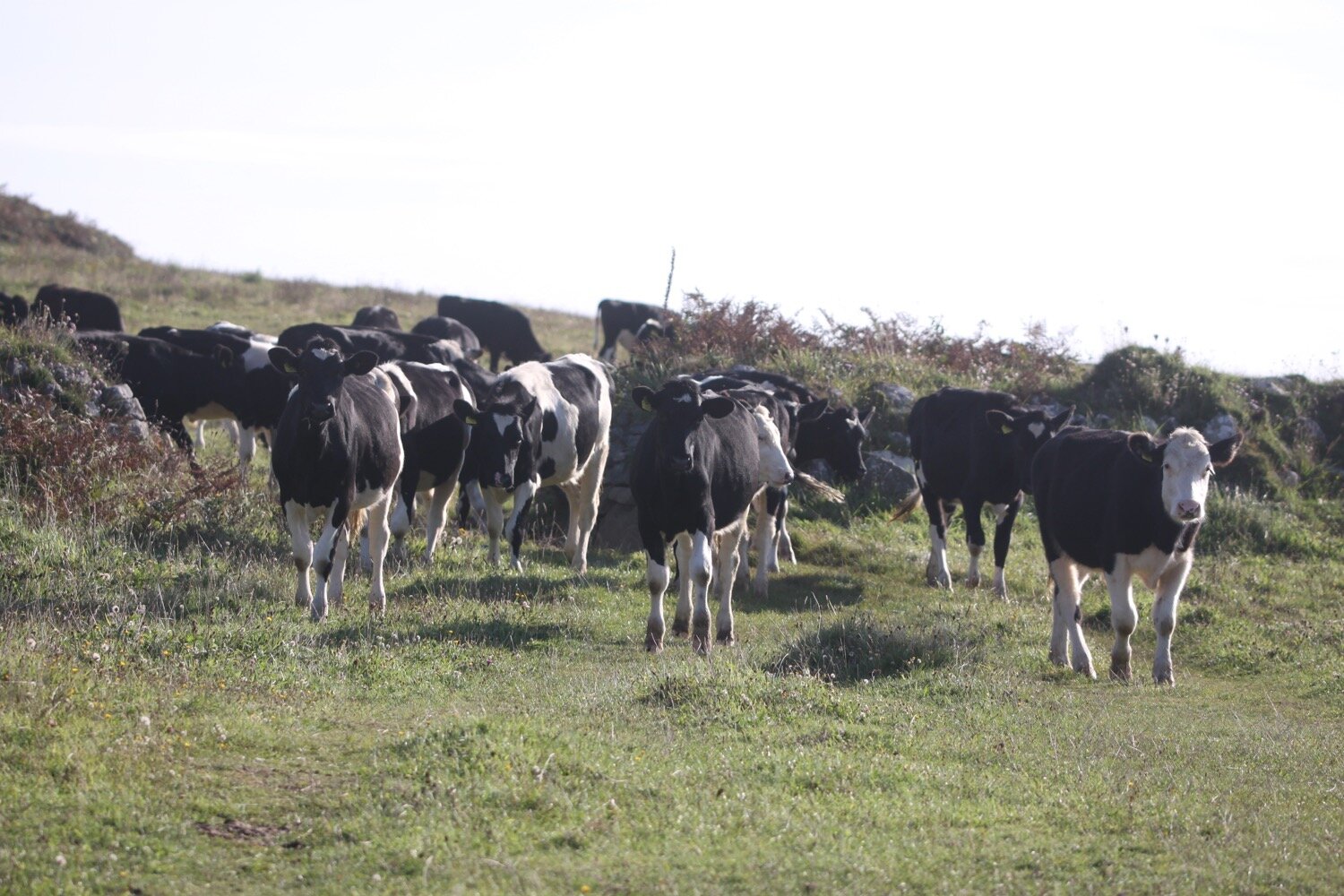
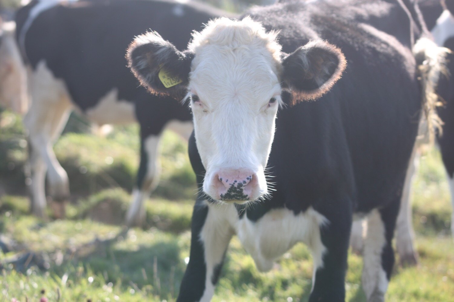
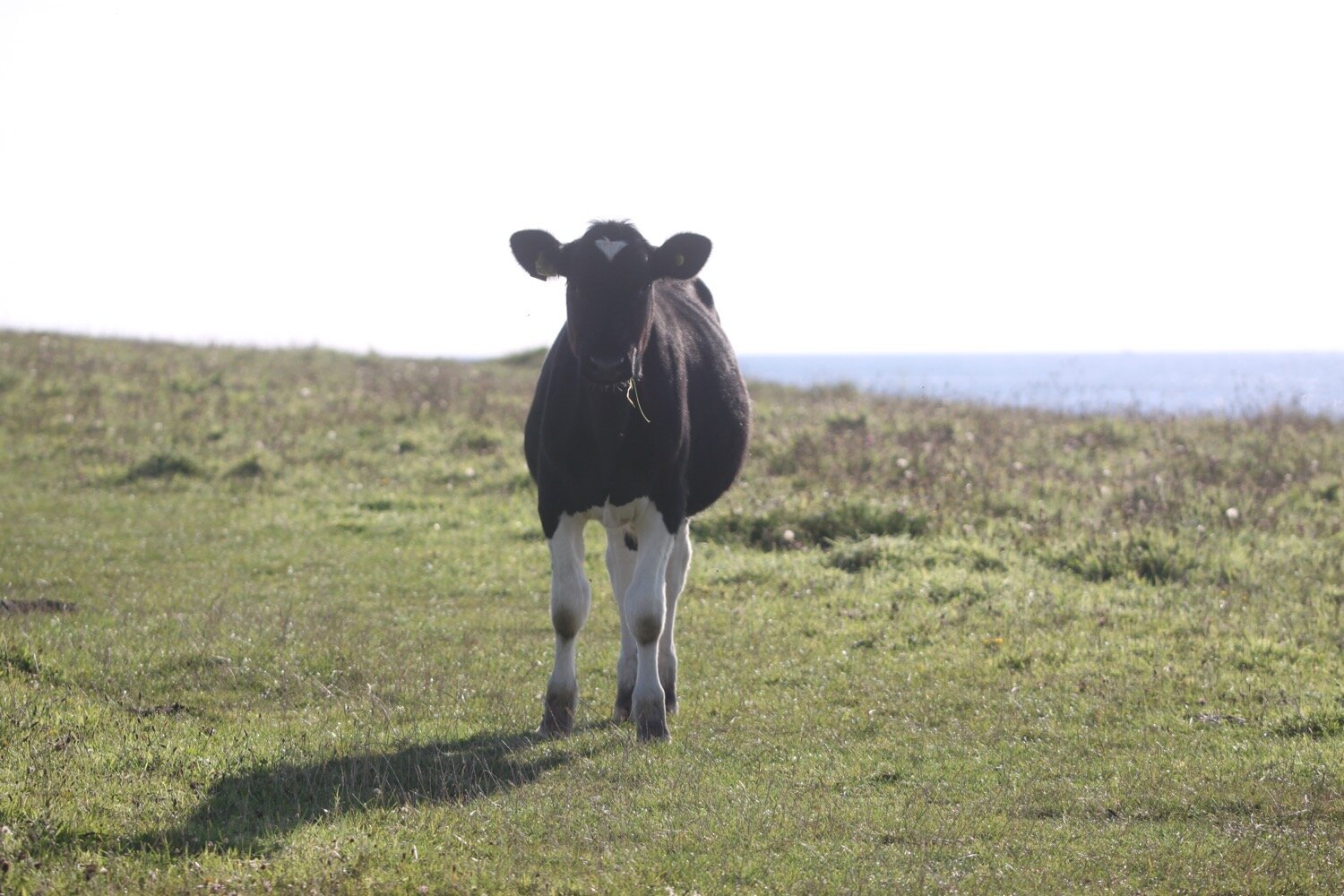
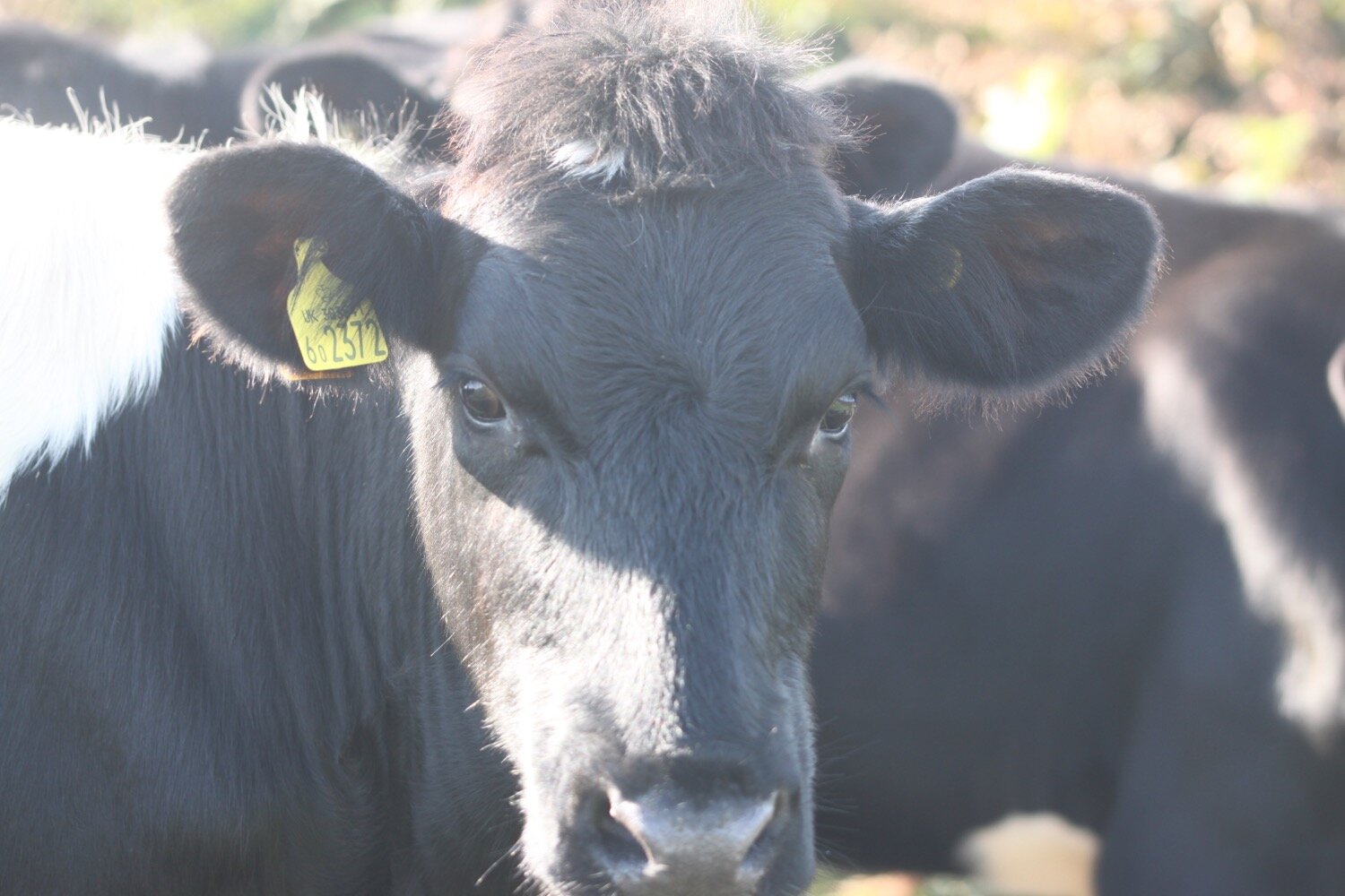
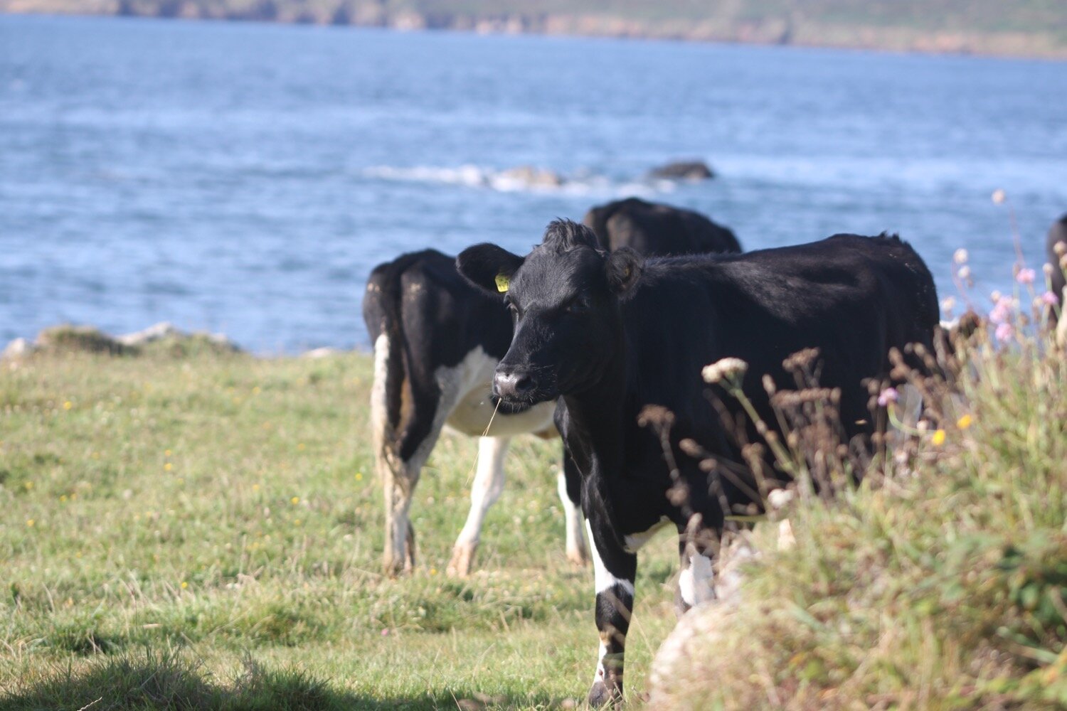
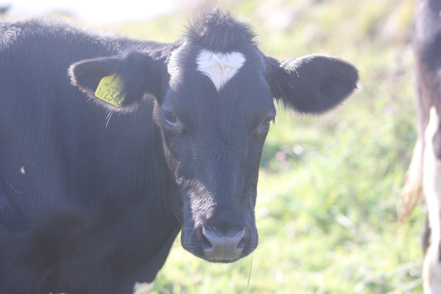
I continue on the path towards Lowland Point passing a herd of cows who briefly block the coast path but pass by looking at me with curiosity.
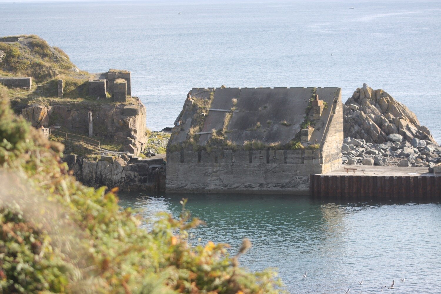
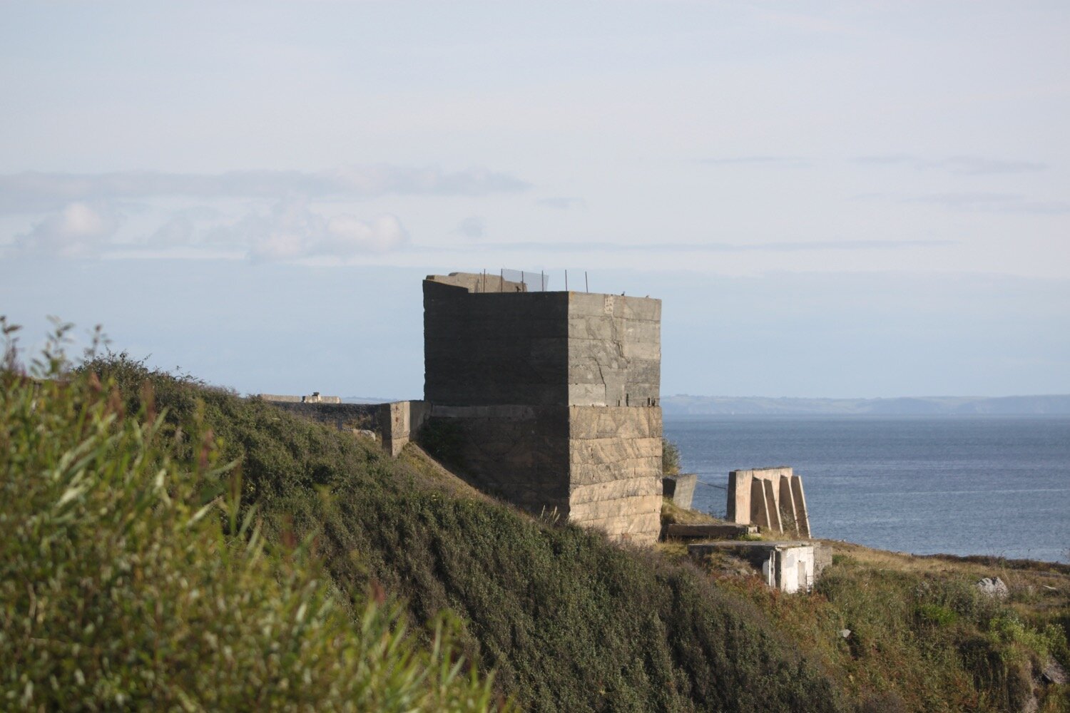
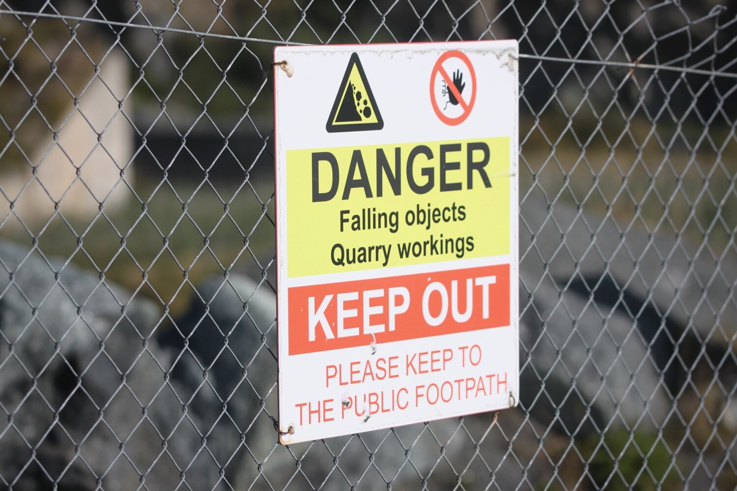
I enter the long abandoned Dean Quarry where there is a lone person fishing from the rocks below me and cormorants (I guess they could be shags but I don’t know how to tell the difference) perched on a rock out to sea.
cormorants
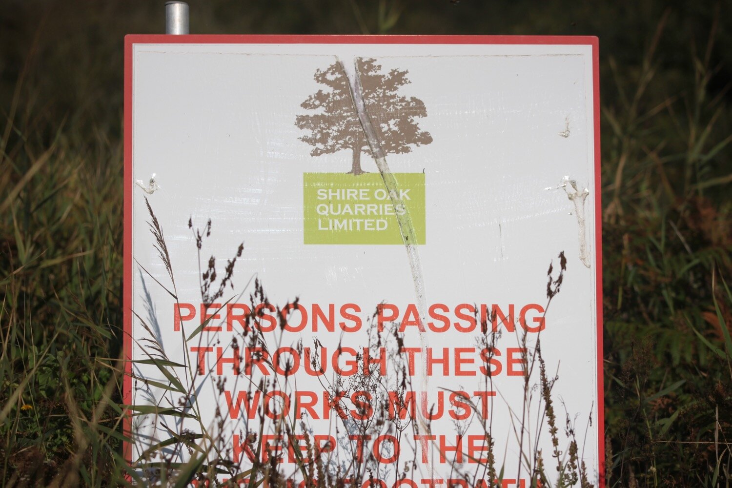
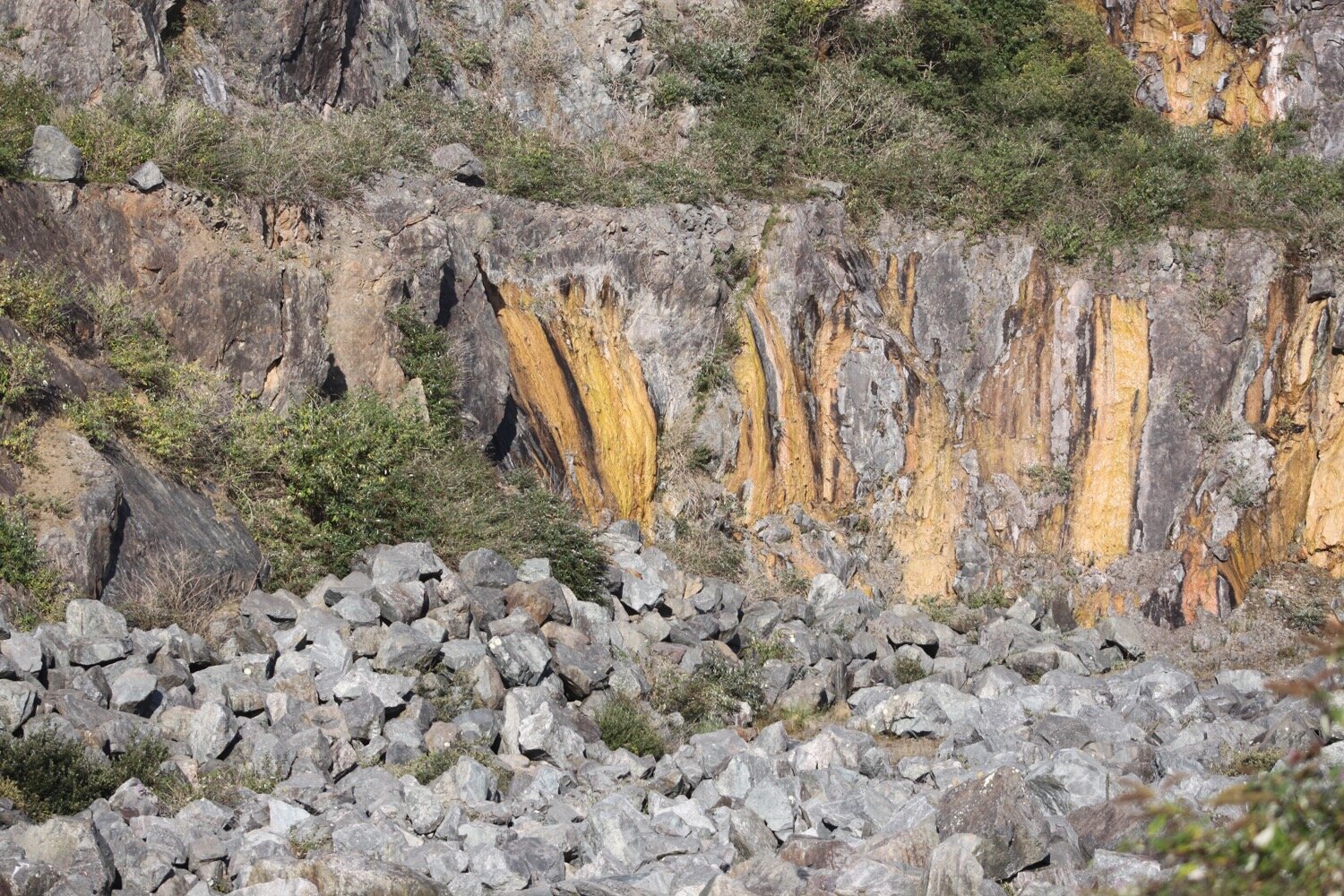
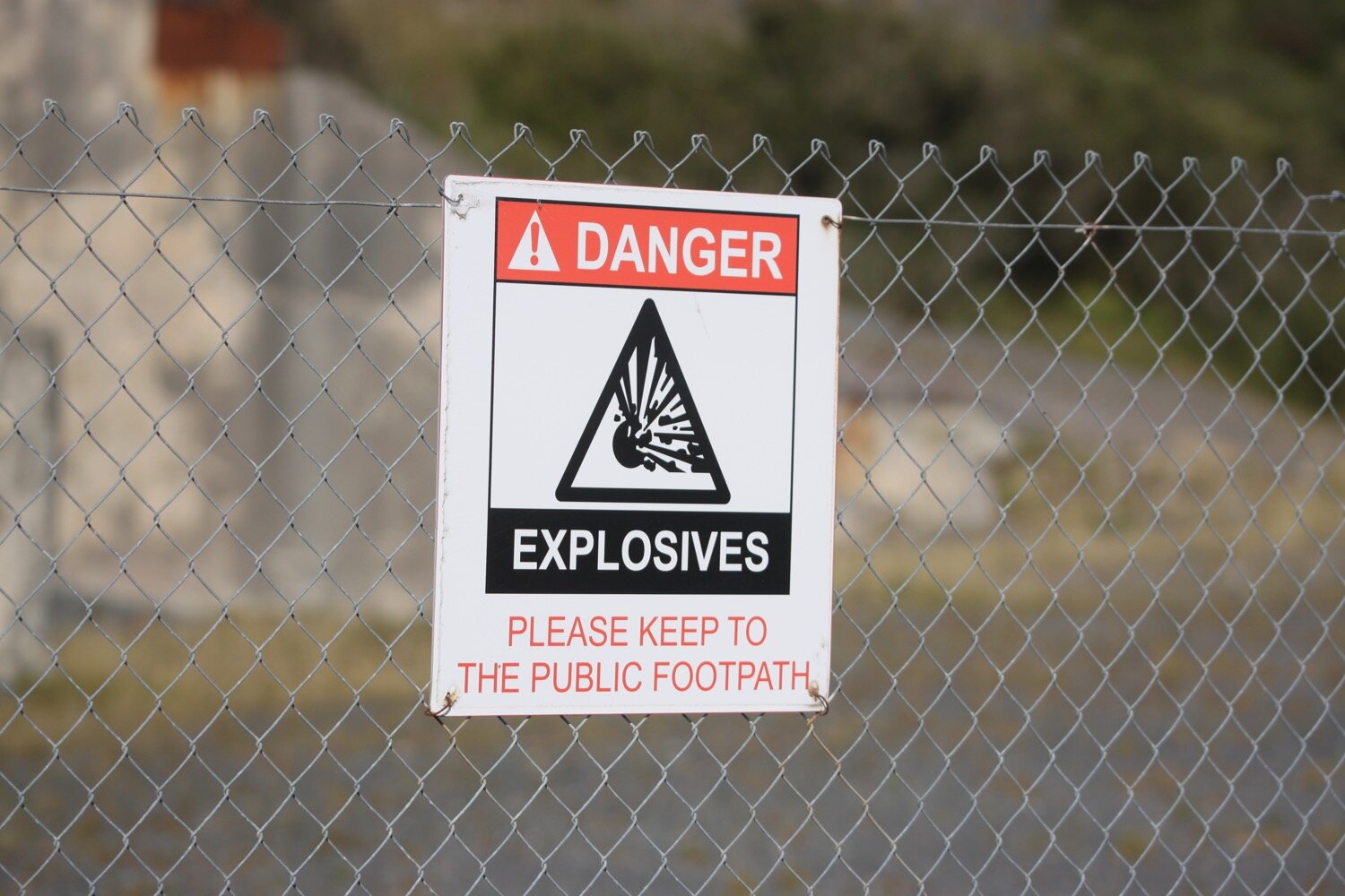
I pass through the quarry with its signs still warning of explosions and blasting.

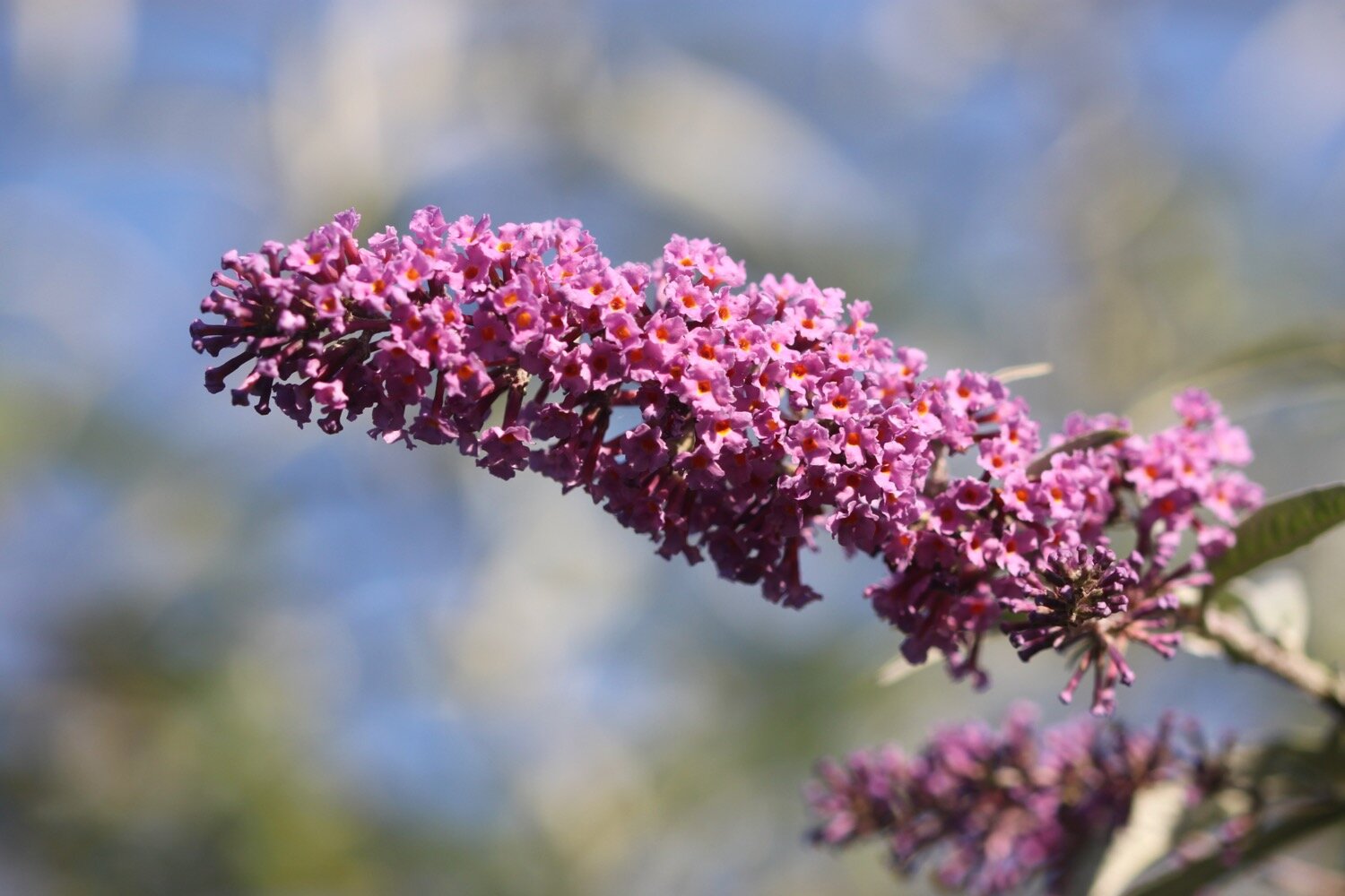
I come across plenty of red admiral butterflies feeding on the buddleia bushes around here.
red admiral
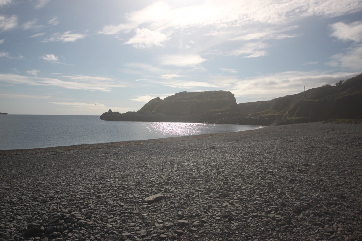
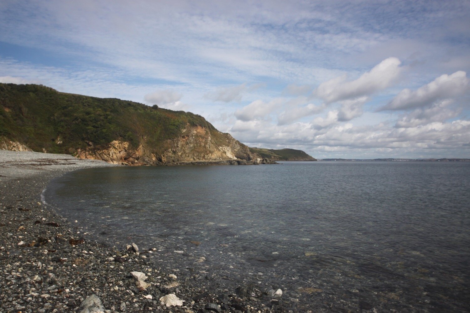
I continue towards Godrevy Cove where I can see a couple of people walking along the beach. It is usually completely empty and I have the beach to myself. It's not really surprising since it's in the middle of nowhere!
godrevy cove
I reach Godrevy Cove and it is positively heaving. Not only are the couple of people I saw earlier still on the beach but another couple of people are walking towards me. There is also a fellow coast path walker at the top of the beach who I will see again in Porthoustock, Porthallow and finally munching on some food looking out over Gillan Creek close to Helford.
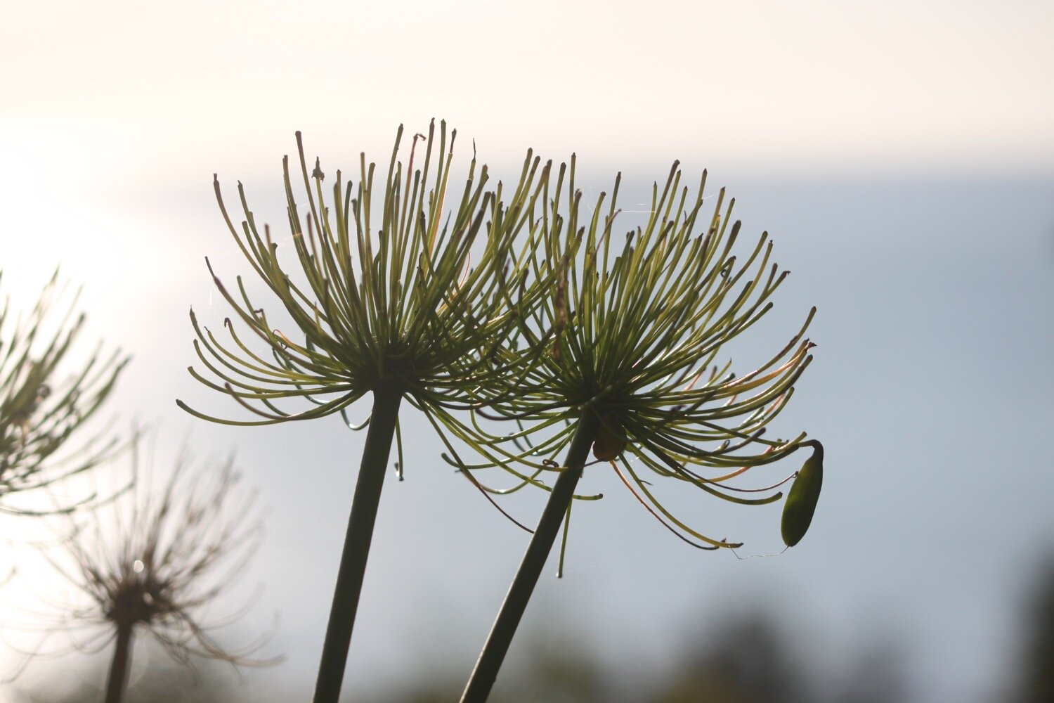
I amble along the grey, sandy beach, collecting shells and then head inland on a path where I come across another couple of people and then a massive gunnera.
The path from here to Porthallow would test the Trade Descriptions Act as a ‘coast path’ as, for much of the time, it's far from the coast. Hopefully, one day this stretch of coast path will be improved.
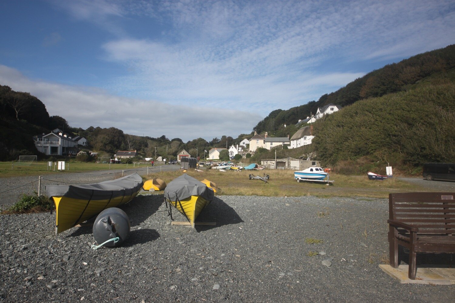
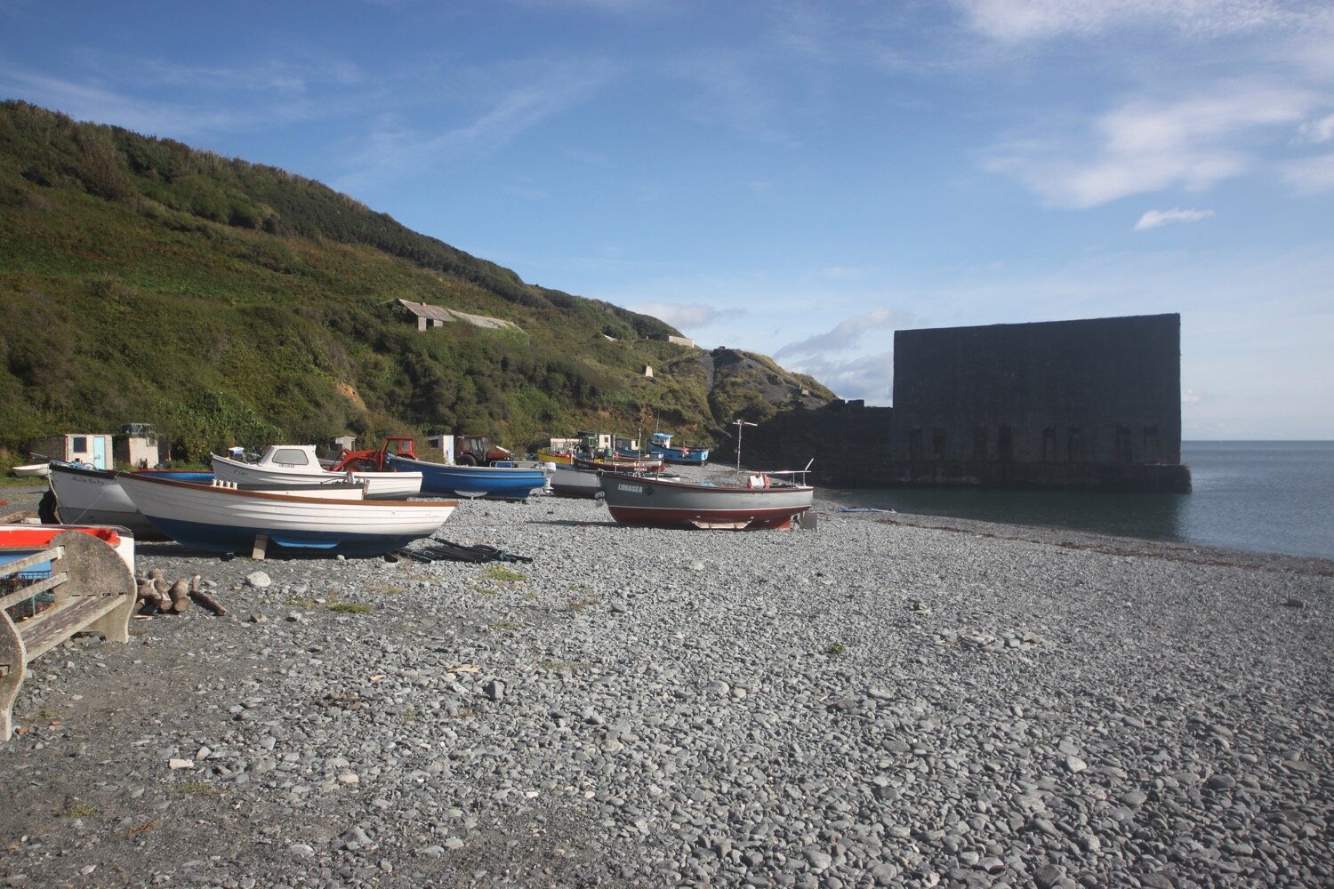
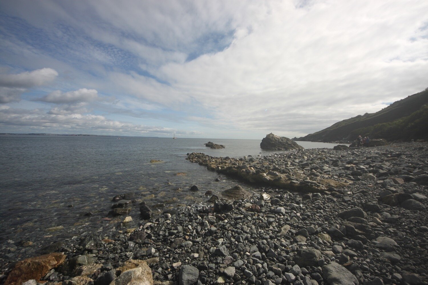
The path crosses farmland to where I come across swallows perched on the telephone wires around here. I reach the village of Porthoustock with its shingle beach housing small fishing boats and its still active quarry, silent today as presumably it doesn’t get worked on a Saturday.
“Porthoustock - Cliffs sculpted into giant terraces by extensive quarry workings. Red flags are hoisted and sirens sounded during blasting operations.”
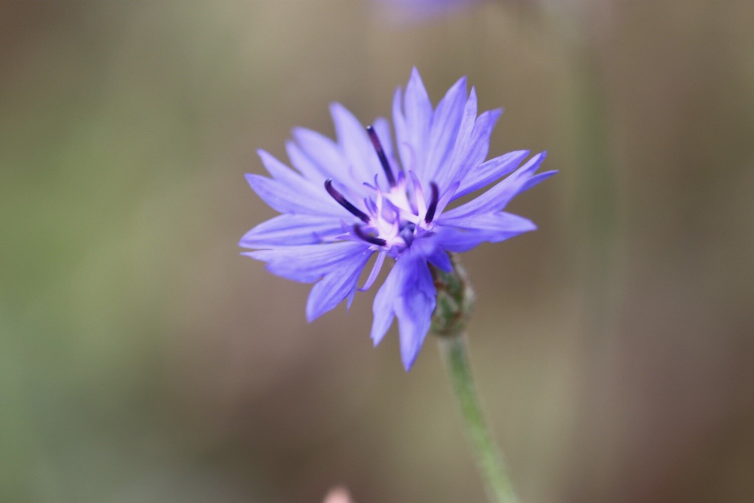
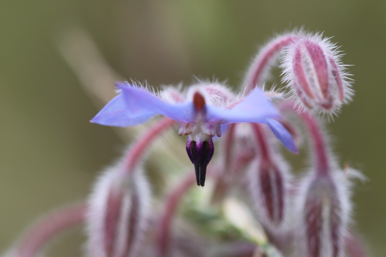
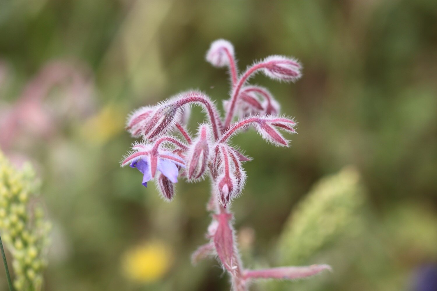
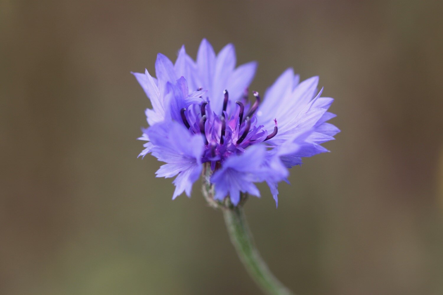
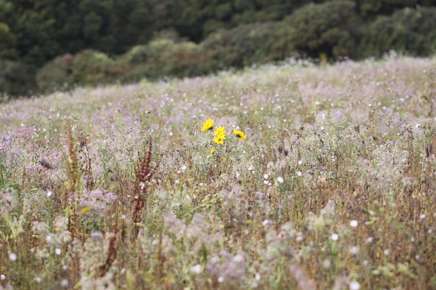
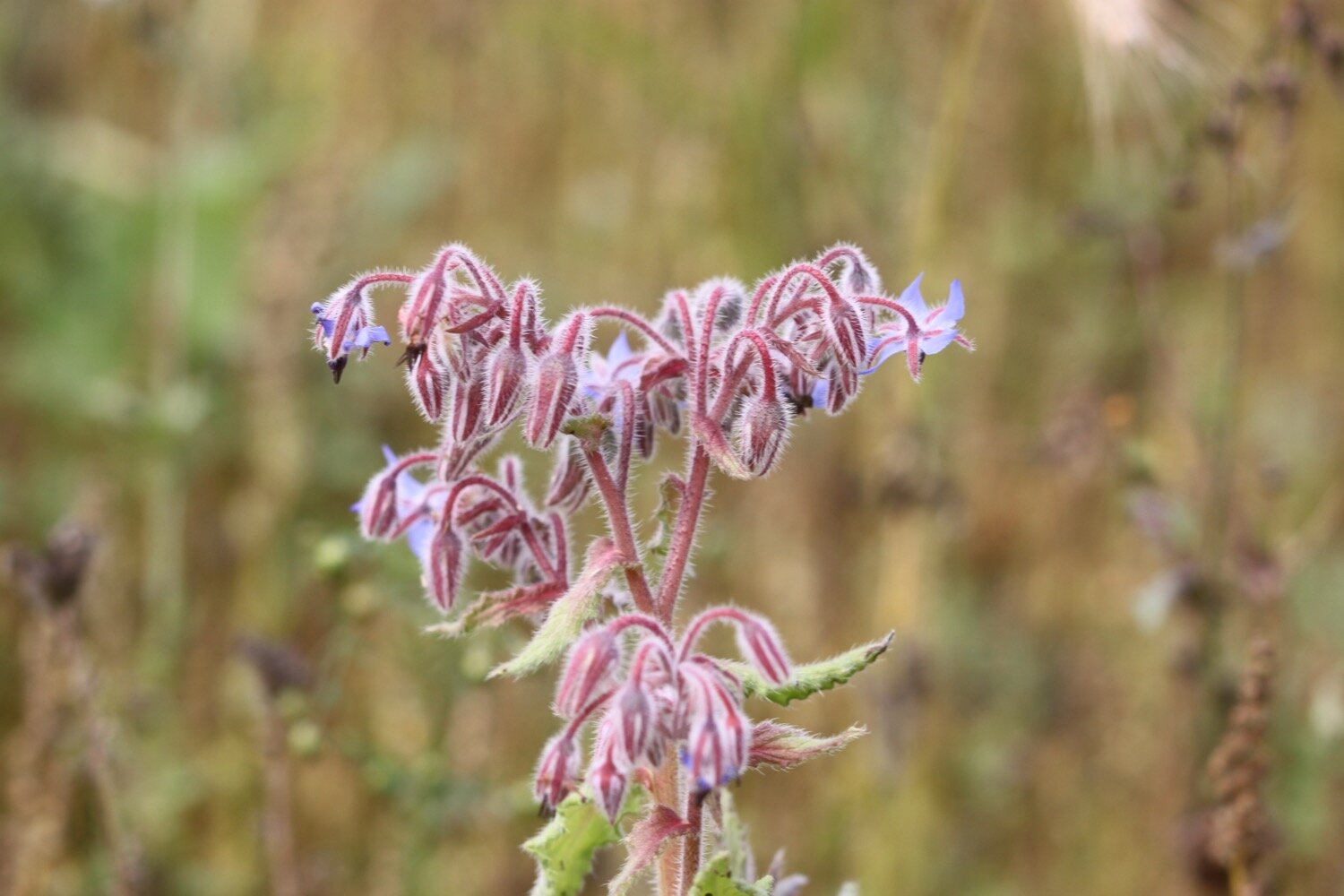
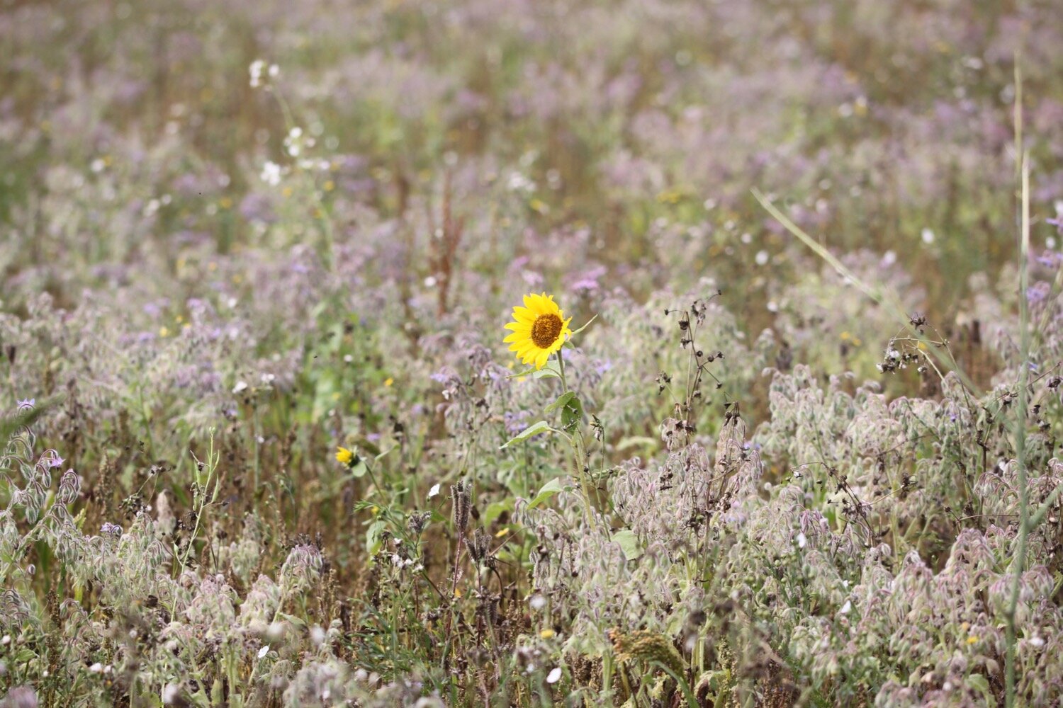
I follow the road to leave Porthoustock and then keep my eyes open for the signs that point to a vague path over fields. I walk through one field containing borage, cornflowers and the odd sunflower. A very strange combination but rather nice.
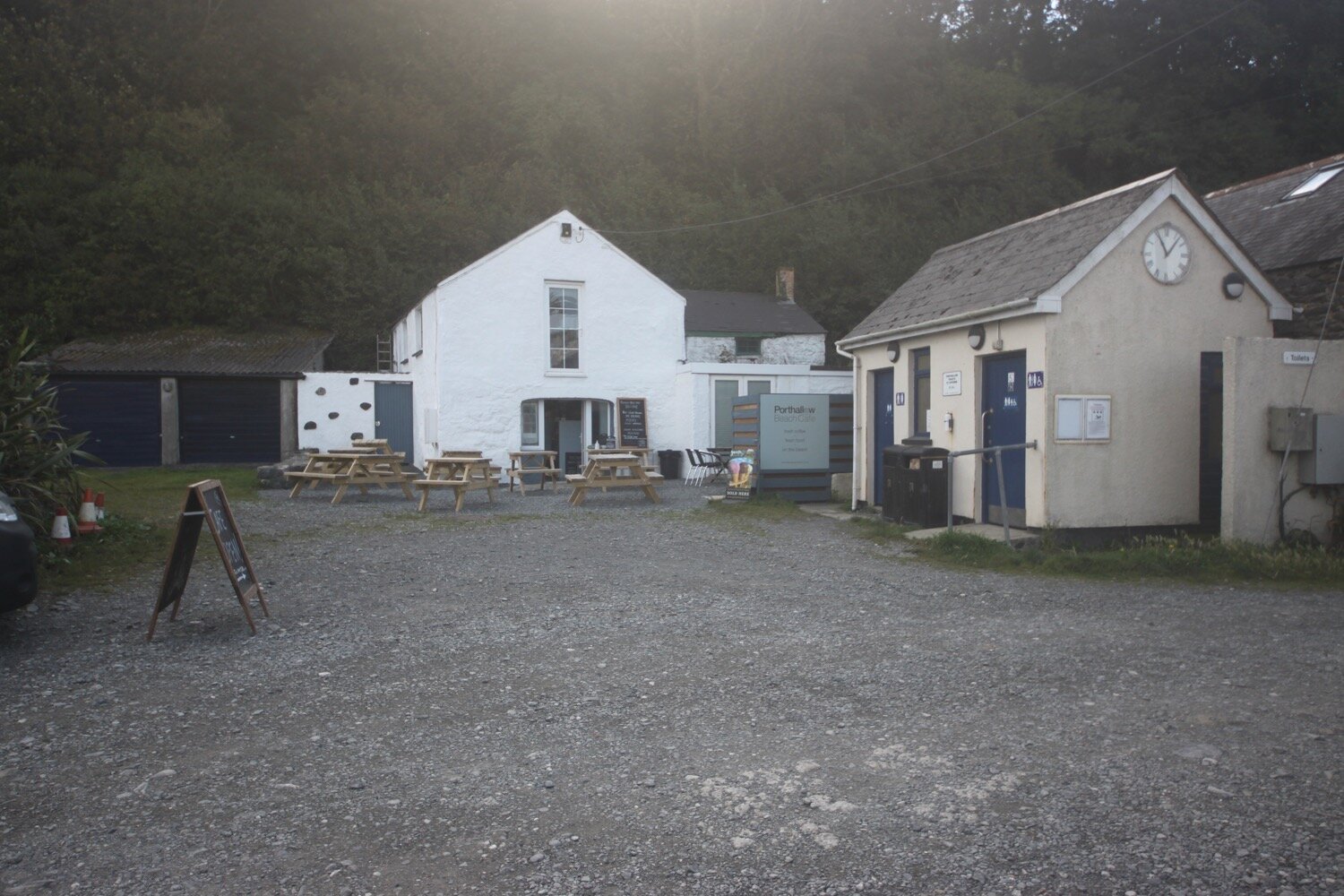
I briefly re-join the road before the path nips down a track behind the road where I pass the Fat Apples Cafe and then re-joins the road again for the short trek into Porthallow.
apples
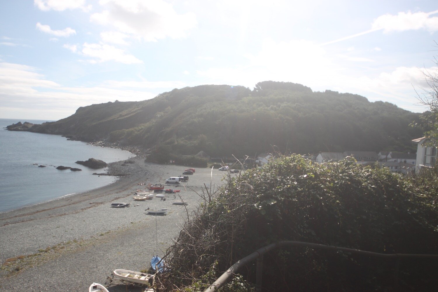
“Porthallow - Forty years ago this sheltered cove had a pleasant sandy beach; now it is covered with grey stones thrown back by the sea from quarries further south. Cars can be parked overlooking the beach.”
I pass the Five Pilchards Inn, which is finally sporting a full collection of name letters and proves to be difficult to photograph as the low sun is just above the pub. I wander on the pebbly beach here.
five pilchards inn
Porthallow marks the halfway point on the South West Coast Path. There are 315 miles to Minehead in one direction and 315 miles to South Haven Point, Poole in the other direction.
midway marker
I walk along the back of the beach and then climb some concrete steps before battling with the jungle like vegetation.
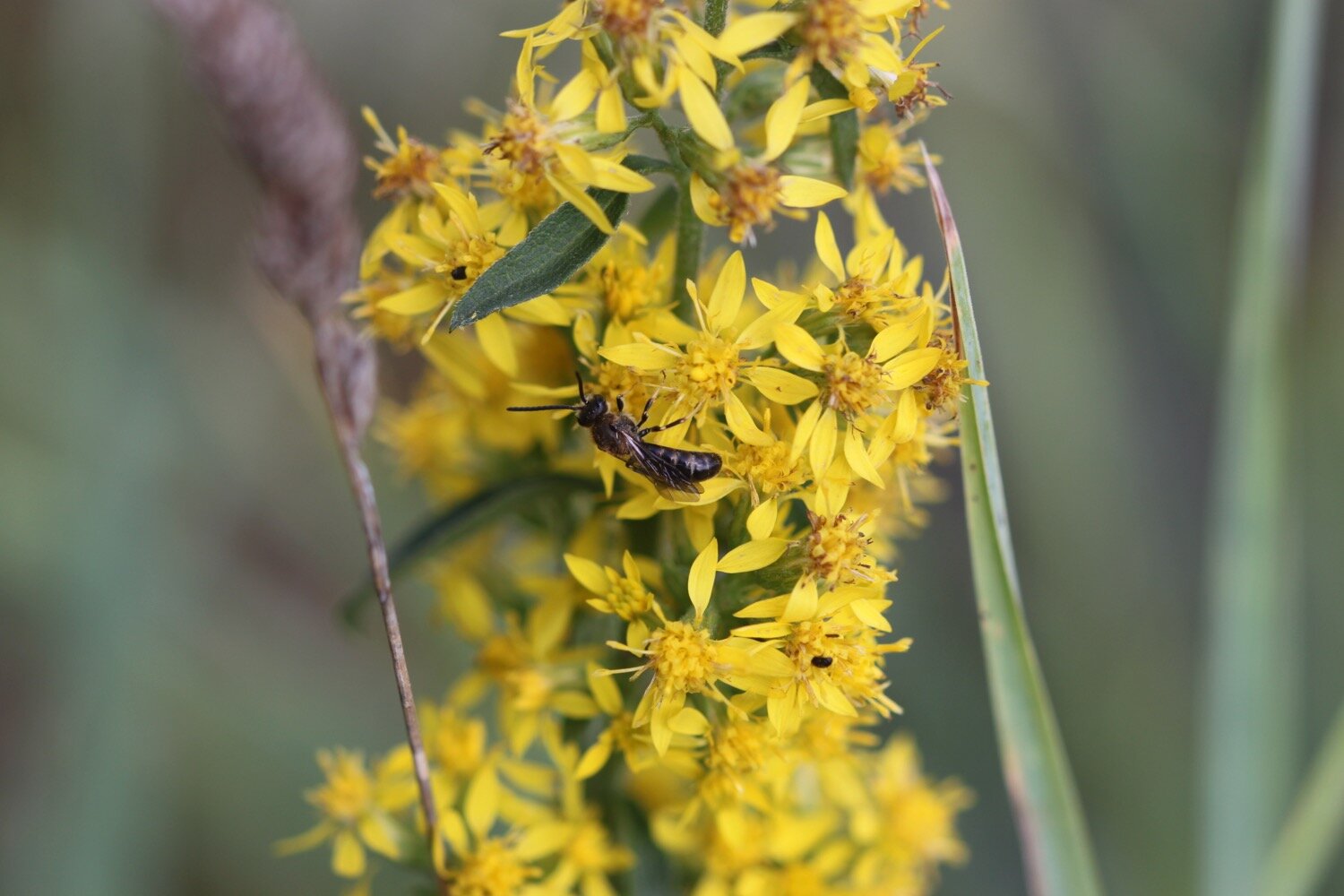
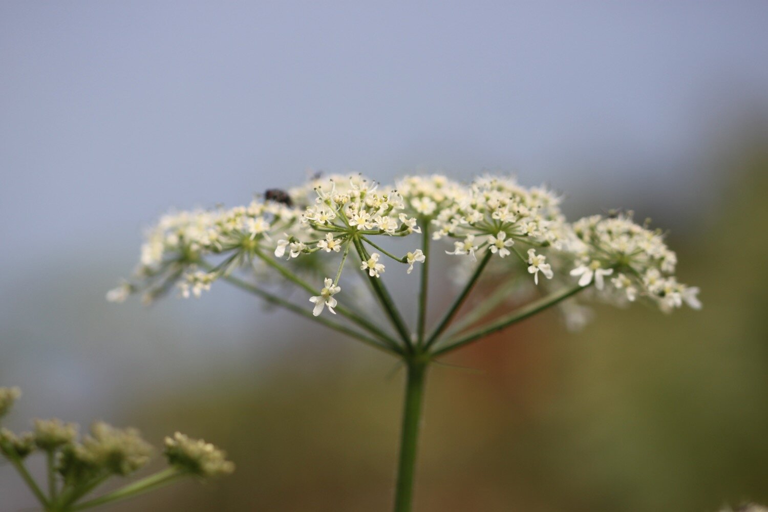
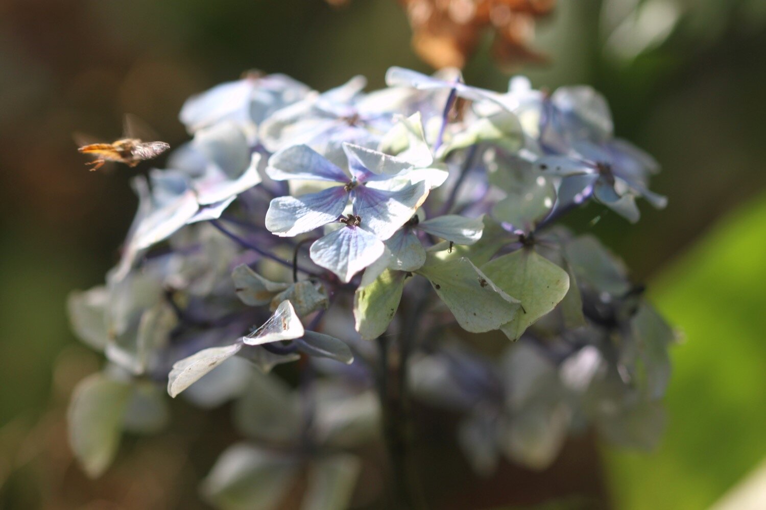
The flowers around here are amazing, even this late in the season, and there are bees and butterflies fluttering around everywhere. I enjoy the views back to Porthallow.
A cliff top walk leads me to Nare Head where I can now see the Helford estuary which will be my companion for the rest of the day. The Nare Point National Coastwatch Station can be found here.
nare point national coastwatch station
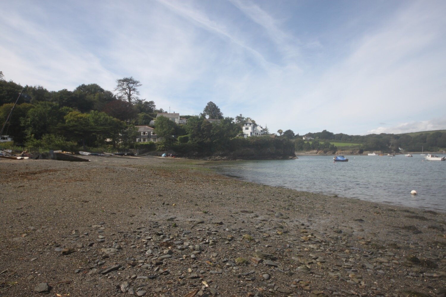
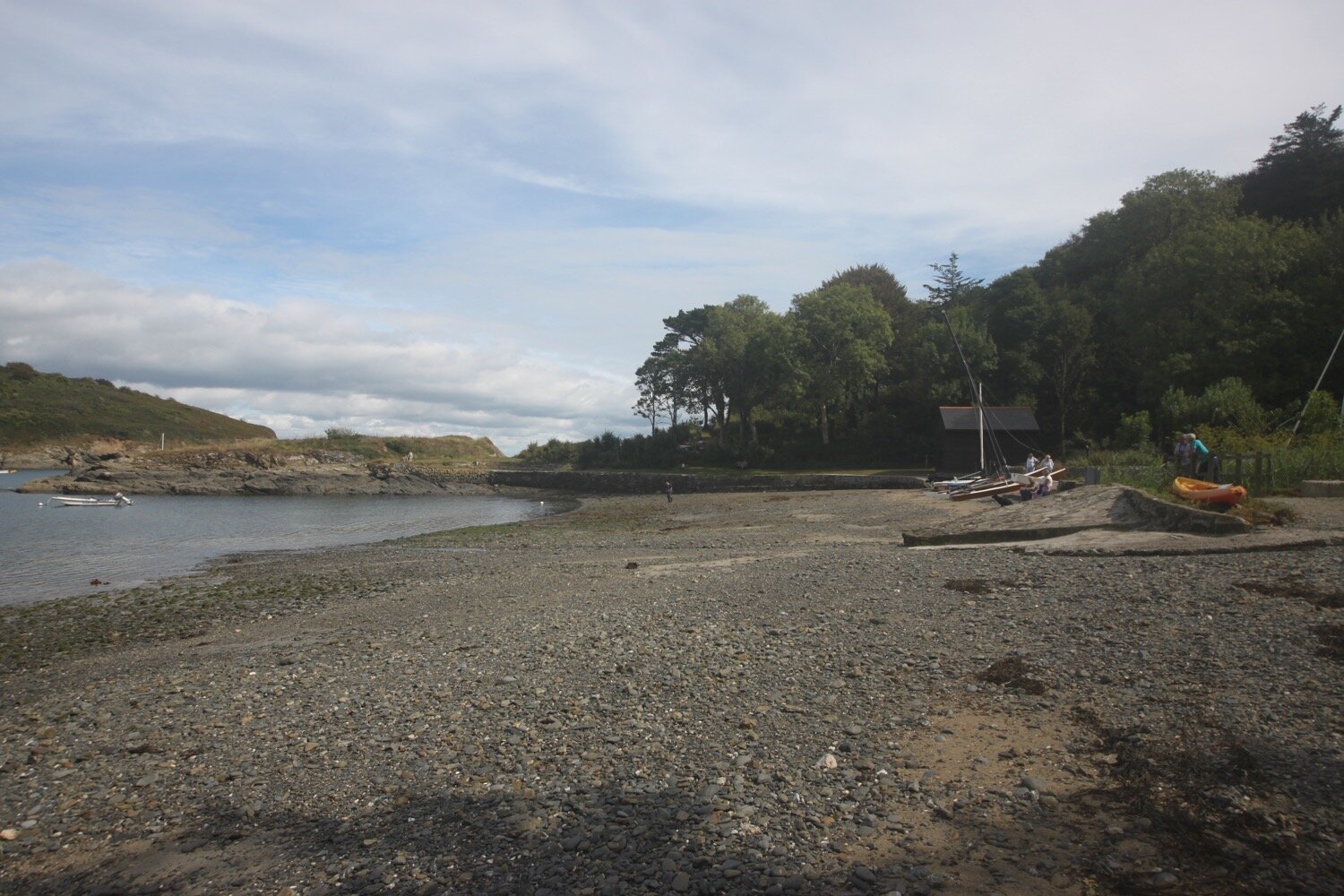
I walk along Trewarnevas Cliff but the views are mostly obscured by trees and the paths are fiddly and overgrown. There are surprisingly popular beaches here and I enjoy Men-aver beach with a few other people before dropping down to the shore of Gillan Creek at Gillan Harbour.
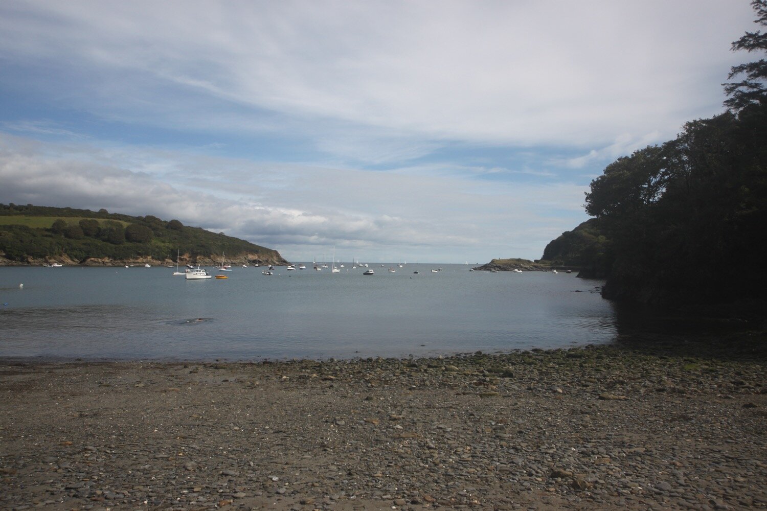
“Gillan Harbour - The inlet, where a small creek runs into the sea between wooded banks, has silted up since it was a medieval port. On the south side is Flushing, a group of houses amongst oak and pine woods looking down on the harbour. Opposite Flushing is St Anthony, a peaceful hamlet with a 15th-century church which has 128 candles hanging in small brass chandeliers. The church tower is built of a fine-grained granite found only in Normandy, which lends weight to the story that it was built in thanksgiving by shipwrecked Normans who after being washed ashore at this spot, returned with the materials. The emblem of St Anthony is a pig, which is why people born in the parish are jocularly called St Anthony pigs, and the annual parish celebration, held in December is the Piggy Feast. East of the village are the ruins of a fort on Dennis Head built by Henry VIII to protect the flank of Pendennis Castle, Falmouth. Swimming is safe.”
A signpost gives me two options. I can either take the shorter route over stepping stones in Gillan Creek or the longer route around Gillan Creek. Last time I was here the stepping stones were out of order due to bank erosion but it appears that they are in use again. They can only be used at low tide though so I have to take the longer route.
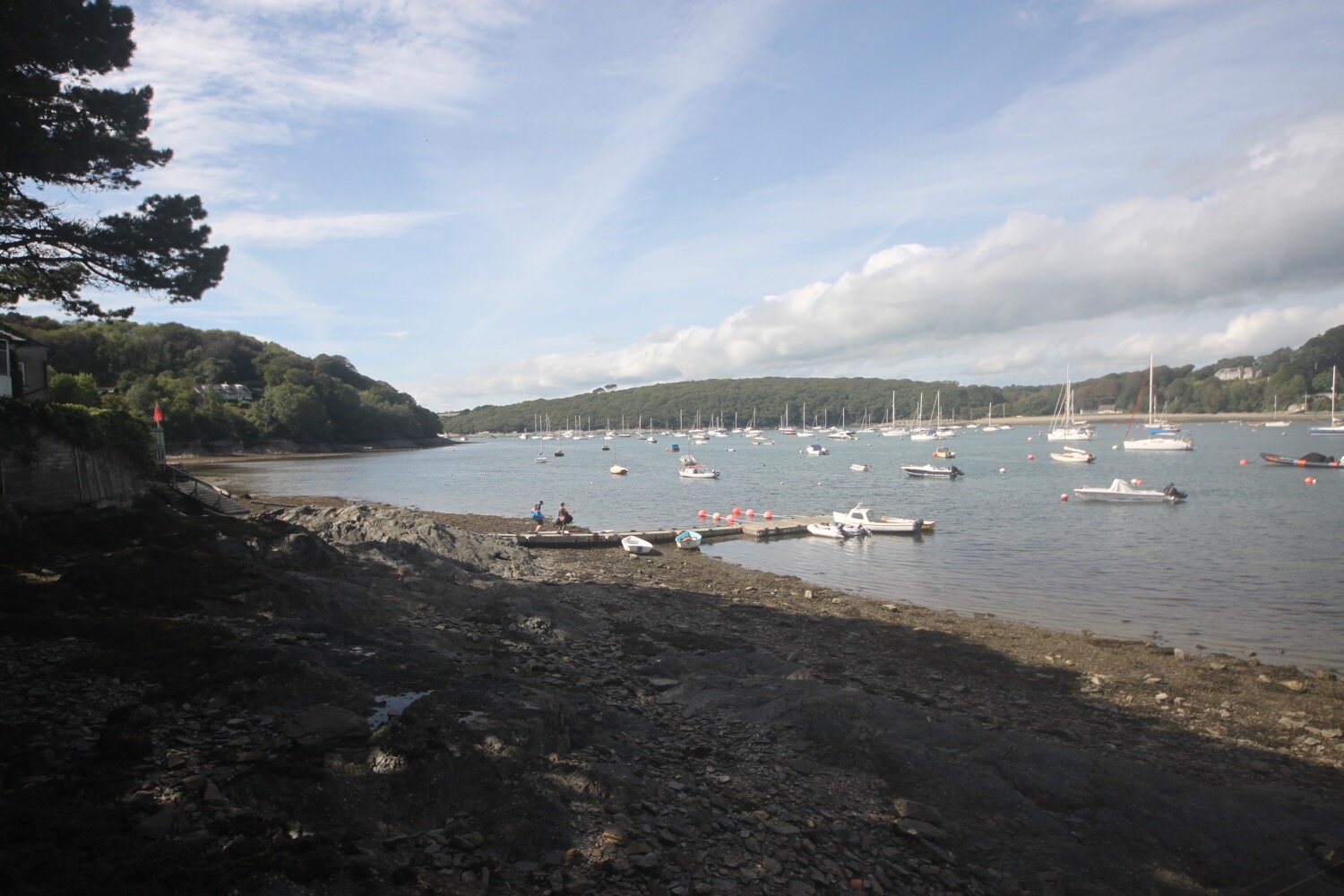
I climb up a road and then follow a road towards Flushing Cove where I can finally see the creek with plenty of swans on it. A sign here tells me that a male swan was killed by a labrador here but that the female swan managed to rear her four remaining cygnets by herself.
The coast path continues along the banks of Gillan Creek towards St Anthony. I look down towards the set of stepping stones but they are still covered in water.
I drop down to the shoreline of Gillan Creek at the other side of the stepping stones and the shoreline leads me to the tiny village of St Anthony-in-Meneage where I explore the grounds of the parish church of St Anthony.
st anthony
I walk along the road past the church and then through a gate and then up through fields. At the top of the field I take a headland detour which rounds the headland and then takes me back to where I started.
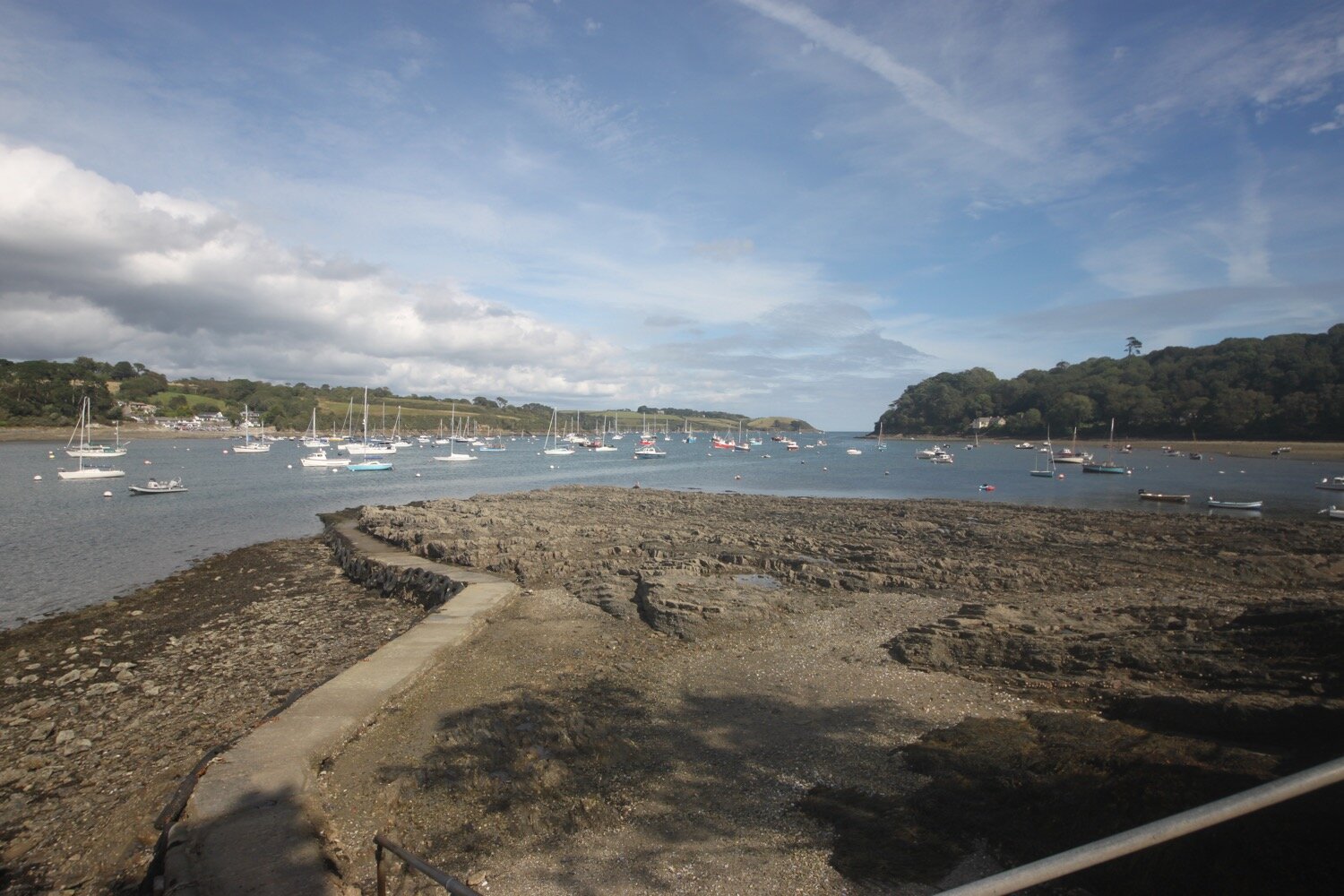
I turn direction and walk along the Helford River with fine views across to the other side.
I then enter woods where the views are more fleeting before joining a road which leads into Helford where I pass the Holy Mackerel Cafe.
holy mackerel cafe
helford
I walk down to the ford and footbridge and pass the post office shop and the thatched Shipwrights Arms (@ShipwrightsArms) which is looking lovely.
shipwrights arms
“Helford - Attractive, sleepy village at the head of a small inlet off the Helford River. A stream runs between houses and can be crossed by footbridge or ford. Like those of other villages, snug in well-wooded sheltered valleys near by, the cottage gardens are very pretty; palms grow outdoors. Swans often glide on the water near the foreshore and can sometimes be fed by hand. During the summer, non-residents’ cars are not allowed in the village but there is an adequate car park in a field on the hillside. Boats for hire, sailing school.”
I walk along a path and climb down some steps to reach the ferry stop but I’ve taken so long that I've hit the river close to low tide so the ferry won't be running for another hour and a quarter. A couple join me who were told that the ferry would be running until 3 ‘o’ clock. It’s a quarter to three so they’re in for a long wait back at the pub.
I make a phone call and then retrace my steps back to the public car park above Helford and then wait for my lift to arrive to take us back to our holiday cottage in Falmouth.
FLORA AND FAUNA
Flora and fauna encountered on the walk today includes :-
seagulls
jackdaw
agapanthus
japanese anenome
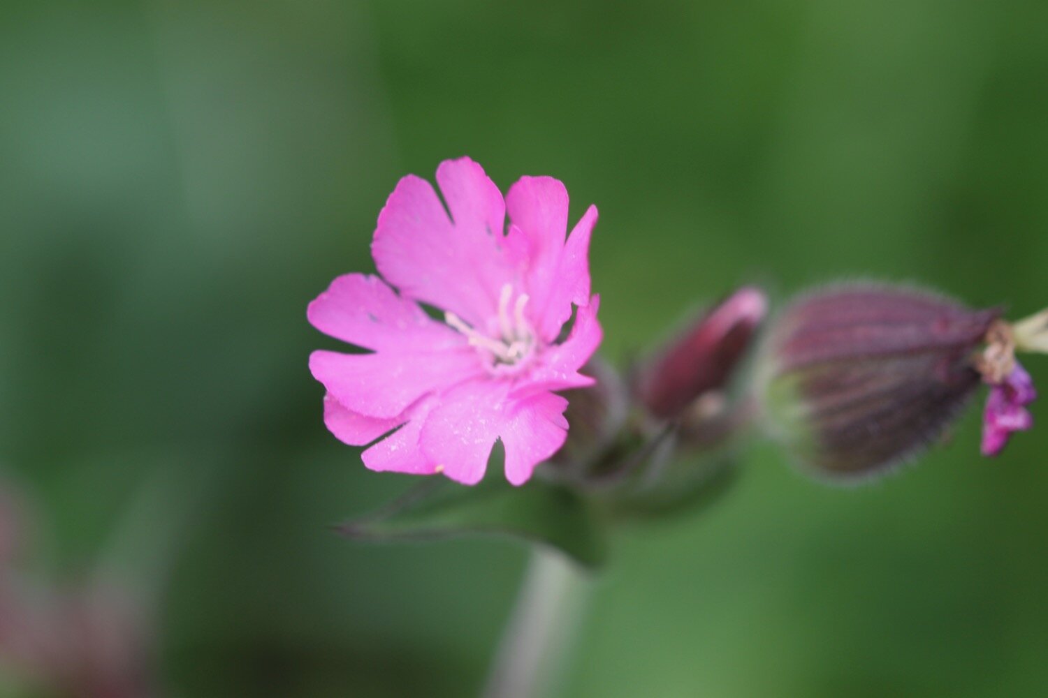
red campion
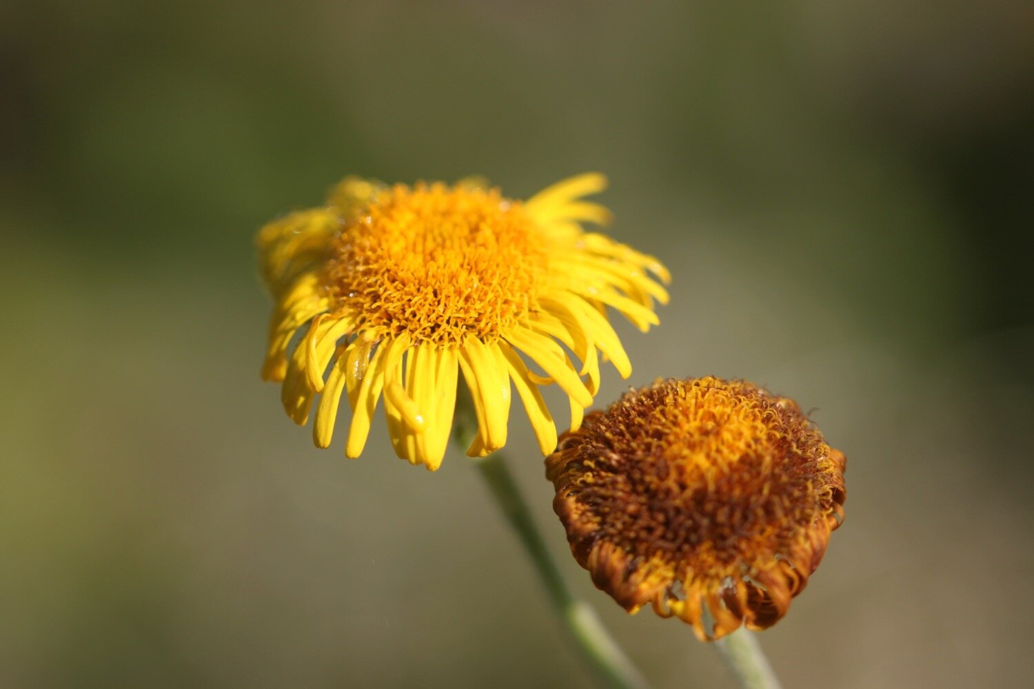
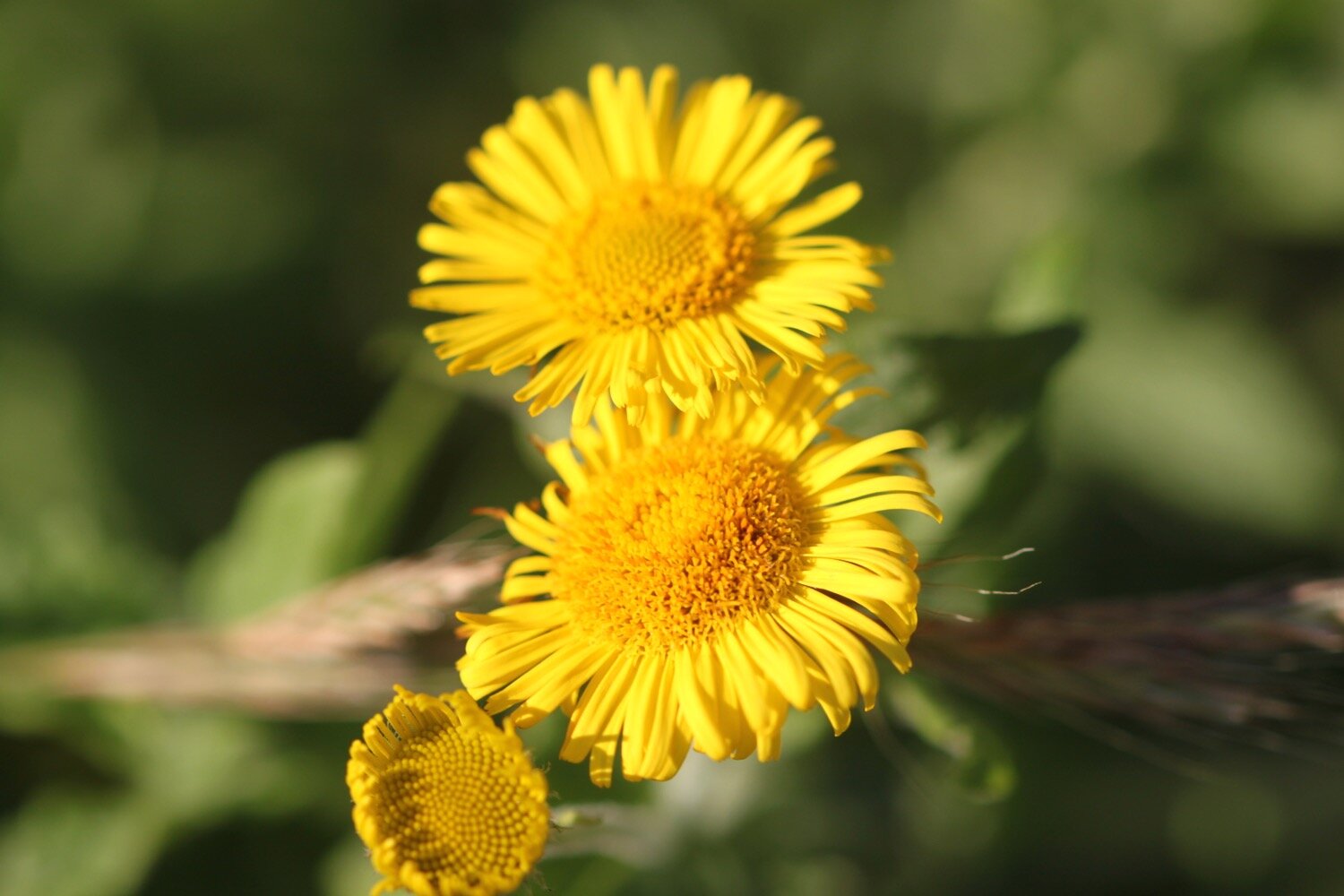
fleabane
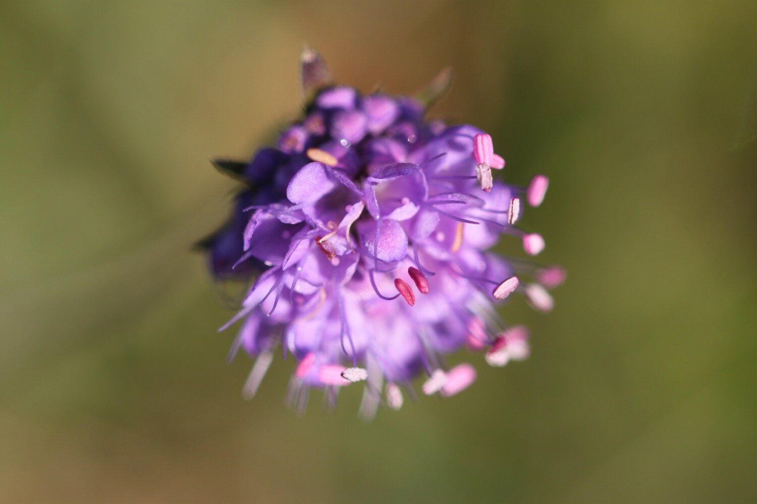
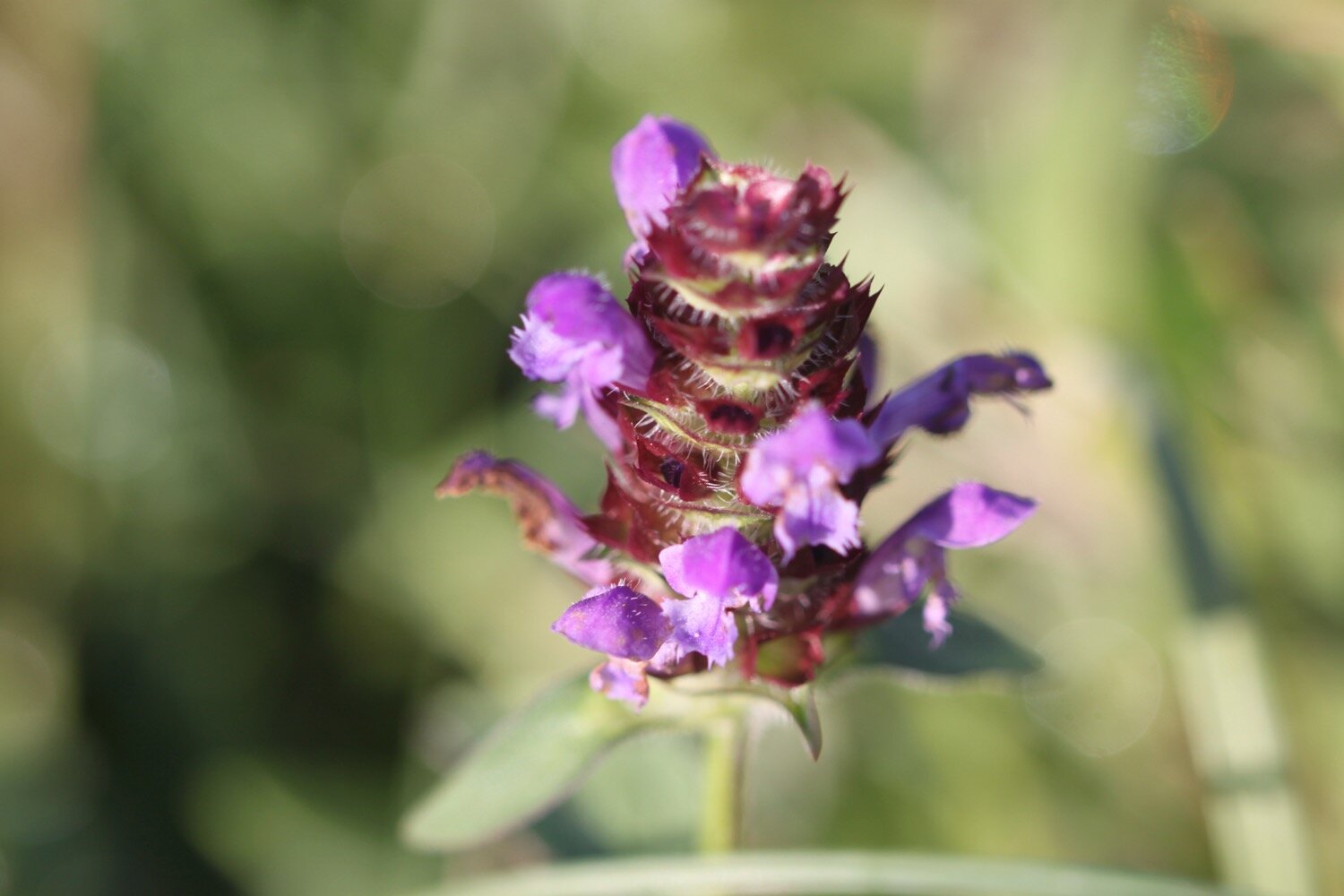
devil’s-bit scabious
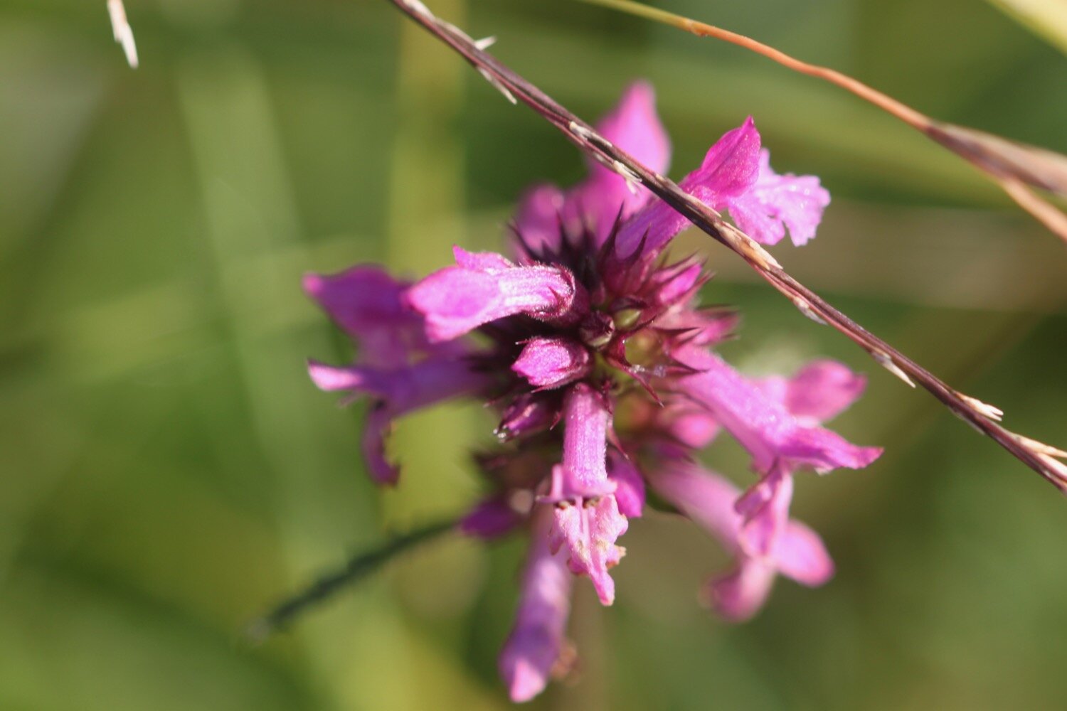
betony
salad burnet
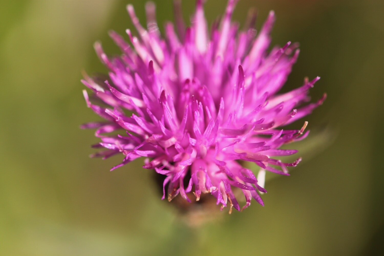
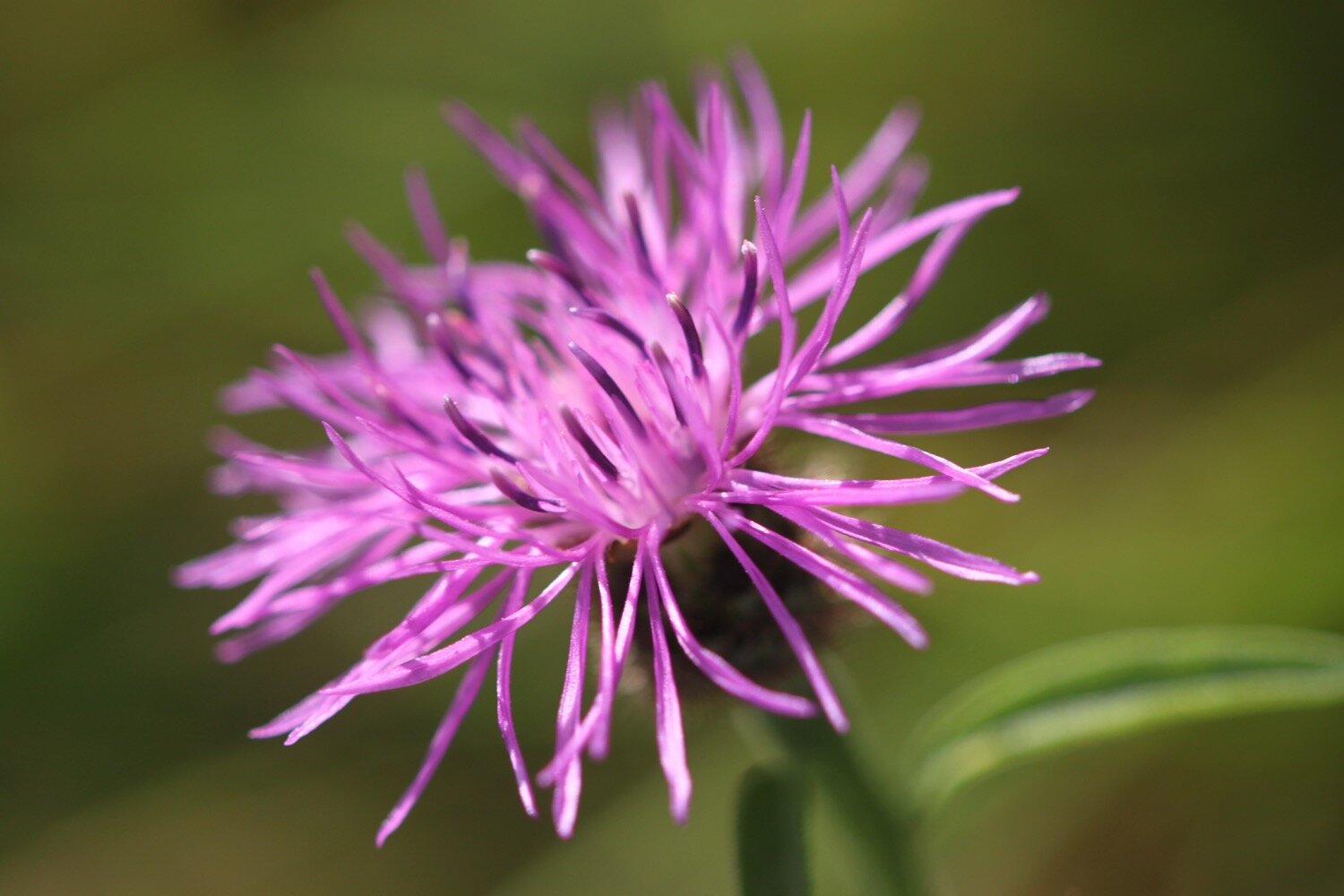
common knapweed
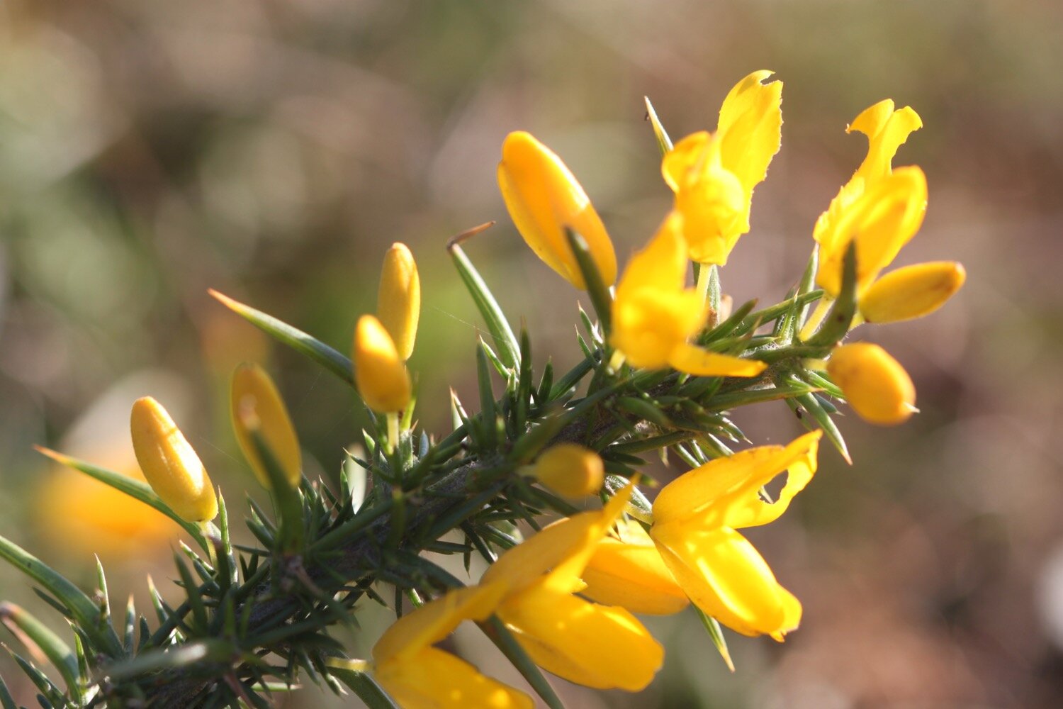
gorse
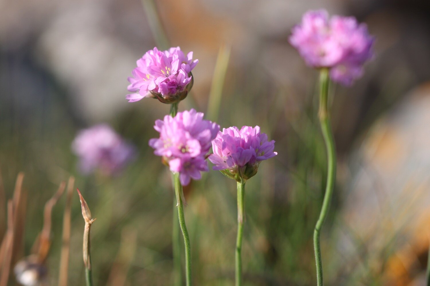
sea thrift
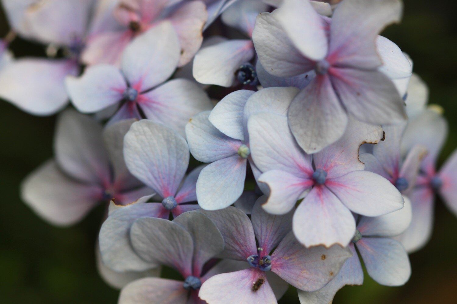
hydrangea
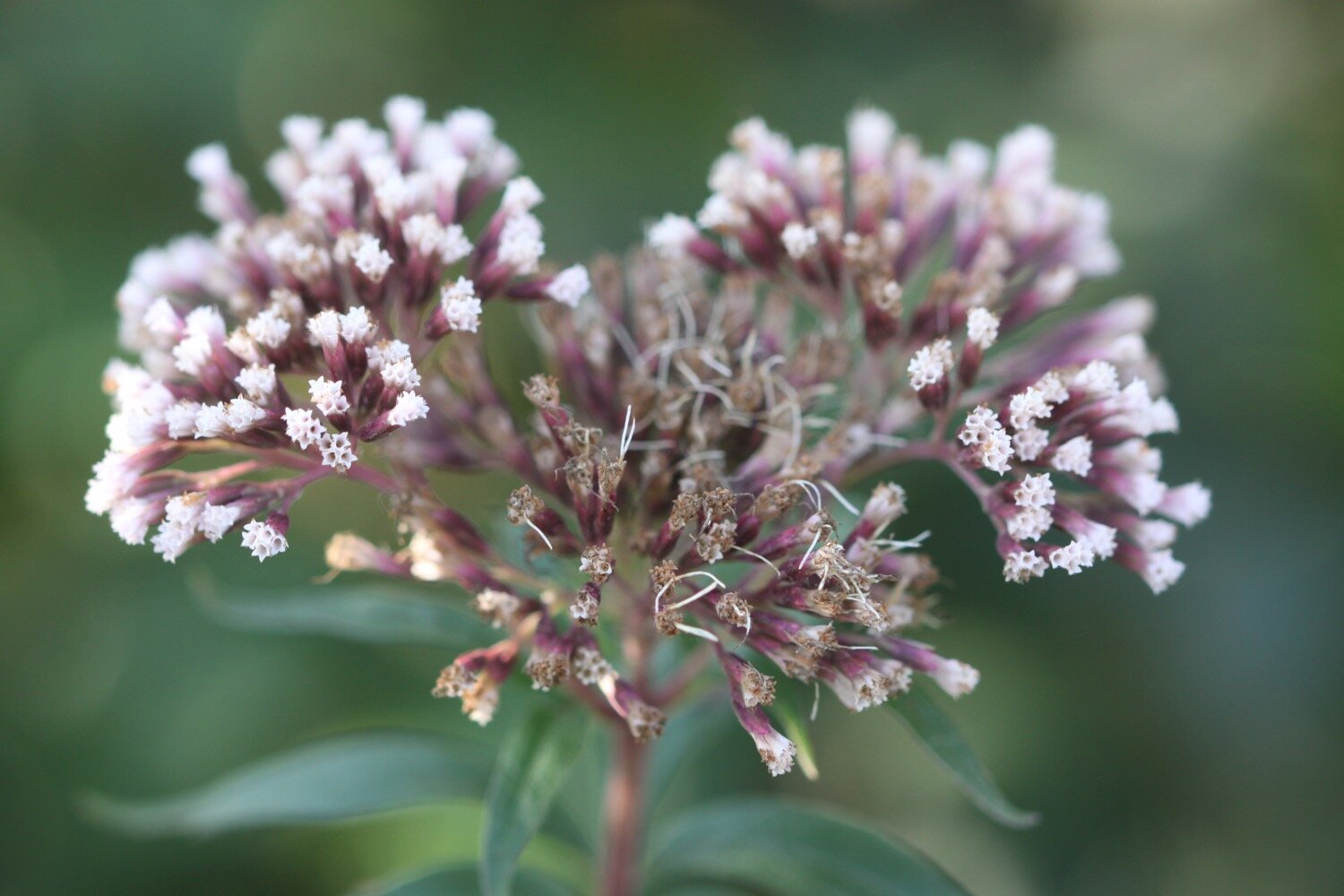
buddleia
speckled wood butterflies
stonechat
sea thrift
red admirals (loads of them)
cows
cormorants
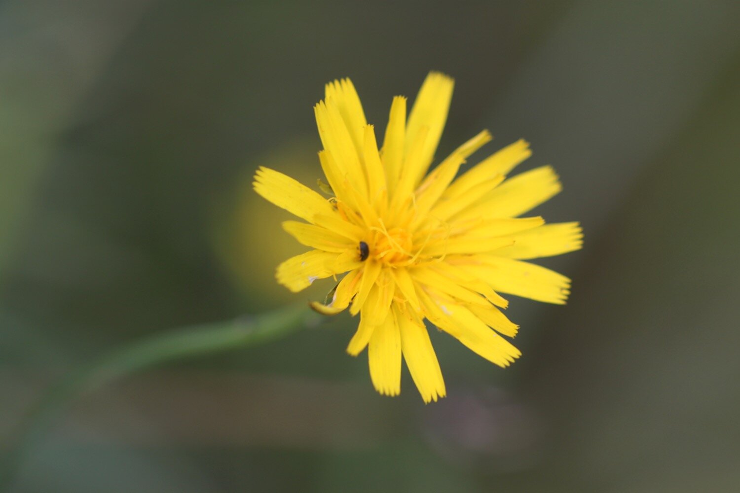
cat’s ear
blackberries
crocosmia
gunnera
swallows
borage
cornflowers
sunflowers
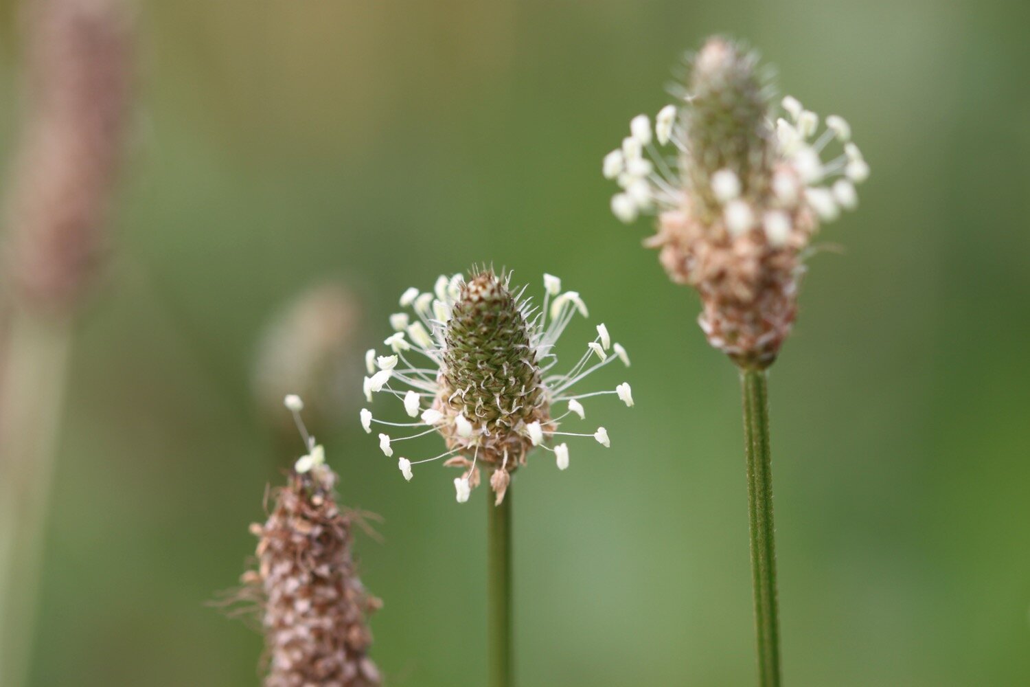
ribwort plantain
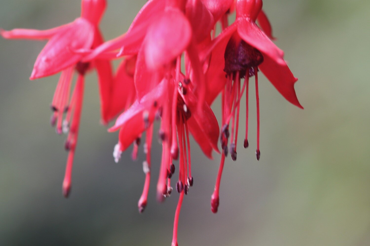
fuchsias
echiums
apples
perforate st john’s-wort
swans

PODCAST
The podcast of today's walk is now available. You can subscribe via Apple Podcasts or listen using the player below.

MARKS OUT OF TEN?
According to my phone I've walked 15.7 miles which amounts to 36924 steps. It has taken me six and three quarter hours. Despite the lack of coast path between Godrevy and Porthallow and then taking so long that I missed the ferry, I’ve had glorious weather all day long and the flora and fauna has been magnificent. Properly sweaty! Ten out of ten!
WALK DETAILS
Well bugger me! All of my tracking apps worked for me today. I’ve also got a new Garmin eTrex 10 which should prove to be more reliable than my apps although its operating system is utter garbage and the software that goes with it is utterly baffling at the moment. The elevation maps below actually vaguely resemble each other.
mytracks app
ordnance survey
MAP
coverack
red admiral
cornflower
borage
sunflower
helford passage
beach collection