beachcombing - part 1
south west coast path
monday 24th - wednesday 26th september 2018
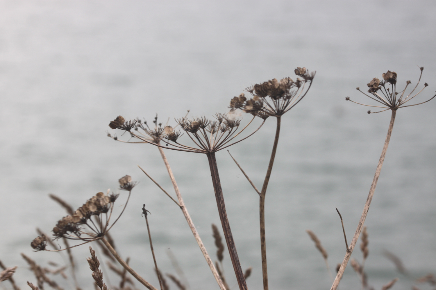
We’re staying in a cottage situated between Helston and Porthleven this week. I’m having a week off from walking so instead I’ll be beachcombing the various beaches around here and I’m spoilt for choice. I could visit :-
porthcurno
lamorna cove
mousehole
penzance
marazion
perran sands
praa sands
porthleven
loe bar
gunwalloe fishing cove
church cove
poldhu cove
polurrian cove
mullion cove
kynance cove
and maybe the Falmouth beaches at :-
maenporth
swanpool
gyllyngvase
Not sure how many I’ll get to so we’ll have to see.
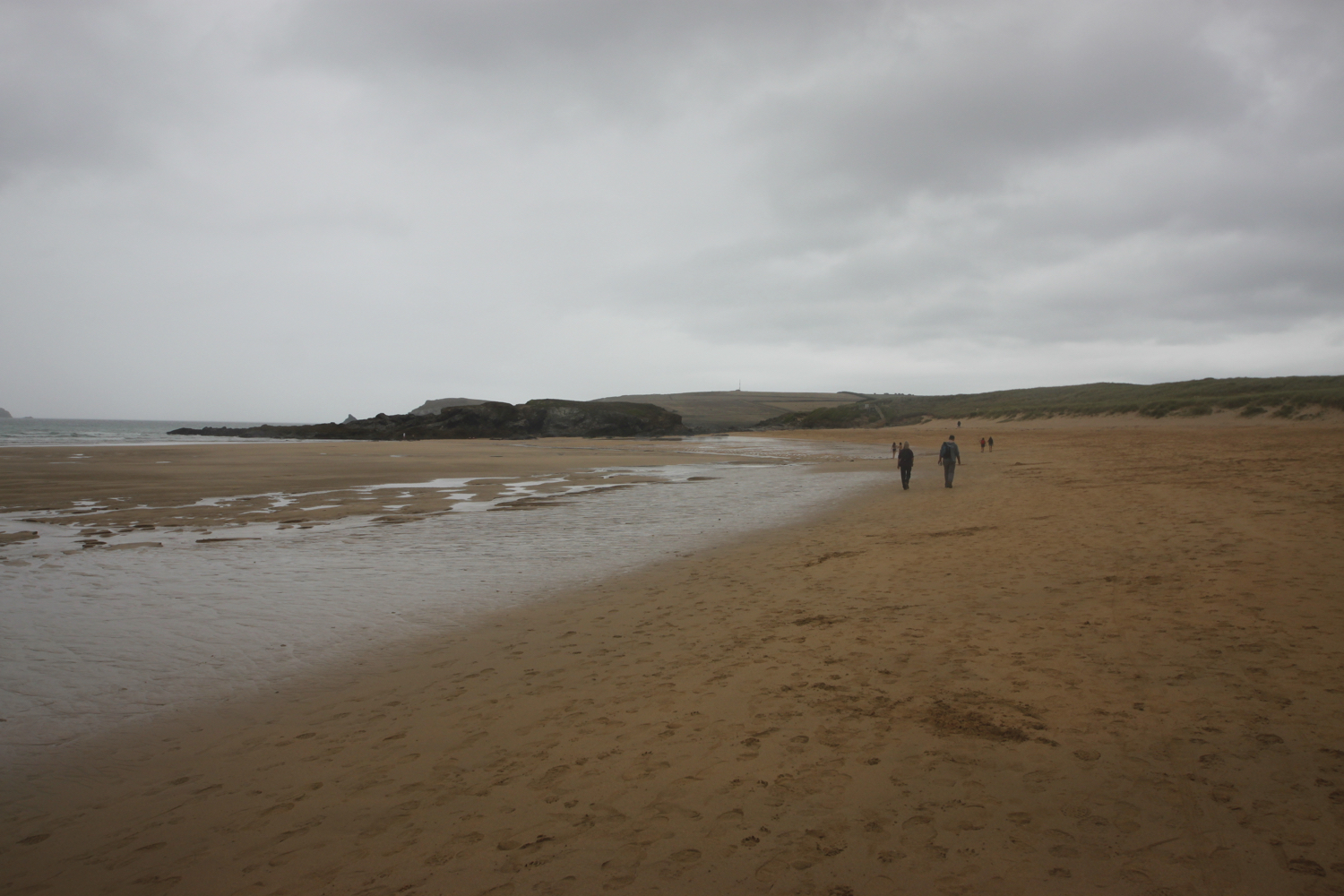
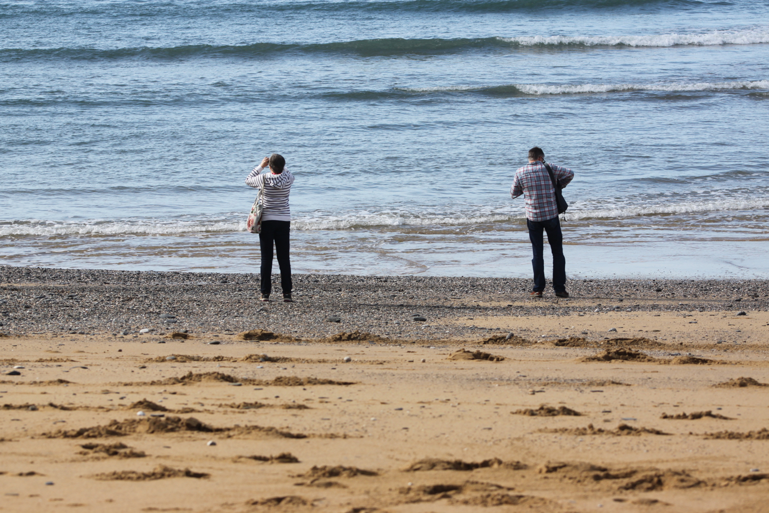
We travelled down to Cornwall in filthy weather on Saturday. The weather forecast for Sunday was also filthy but it turned out to be quite a nice day and the weather this morning is glorious.
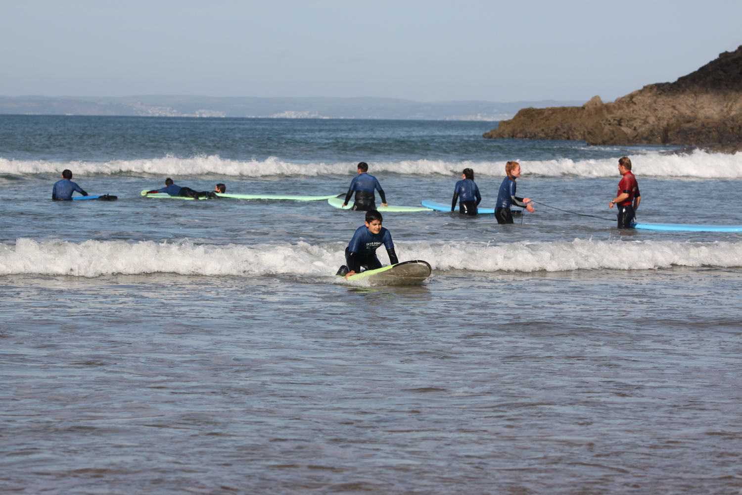
Porthcurno is one of my favourite beaches on the south west coast path. There’s a large film crew camped in Porthcurno as we arrive - presumably filming Poldark - but they don’t appear to be doing very much so the beach is very quiet.
porthcurno
porthcurno
porthcurno
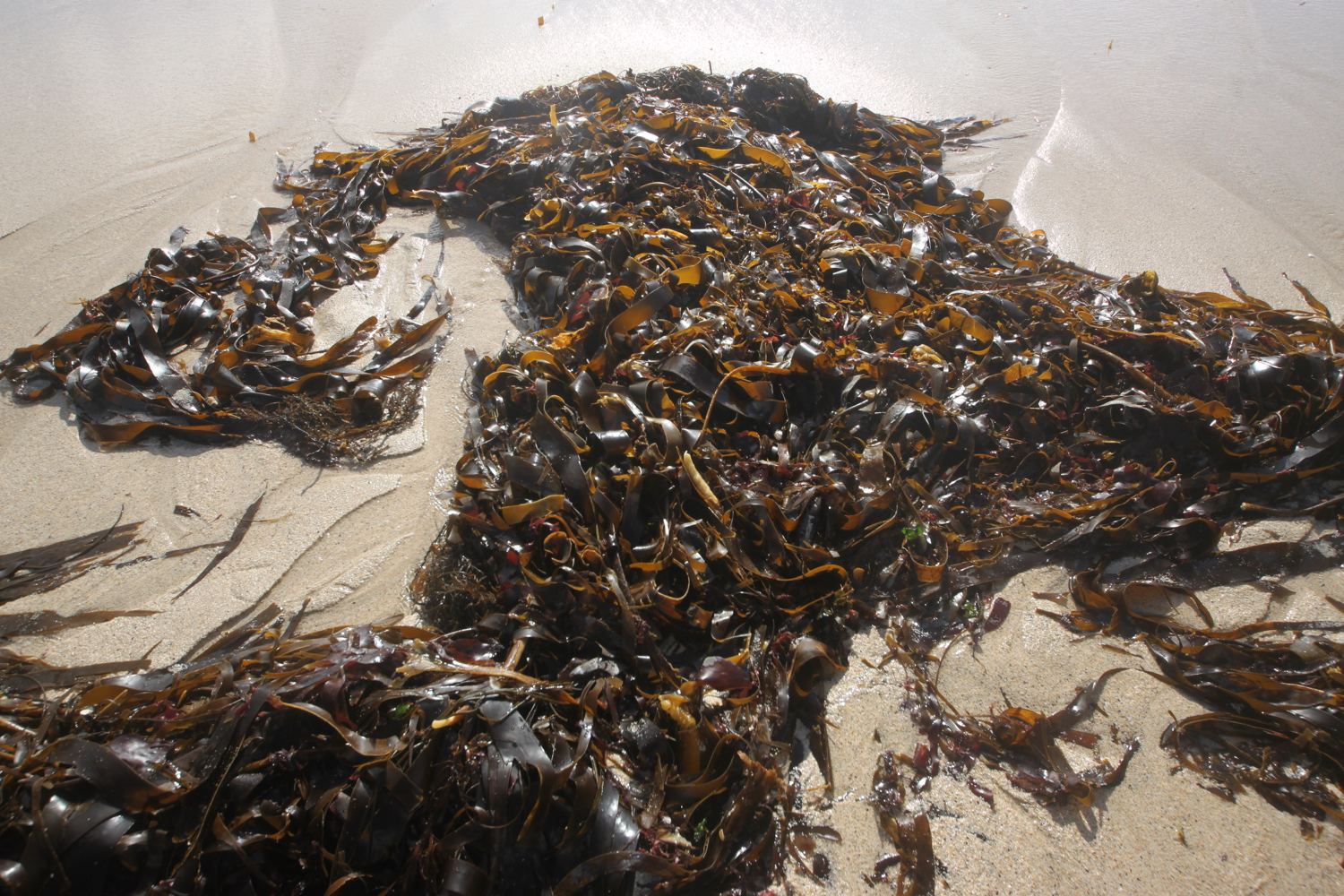
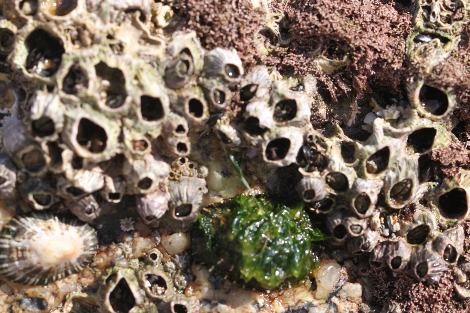

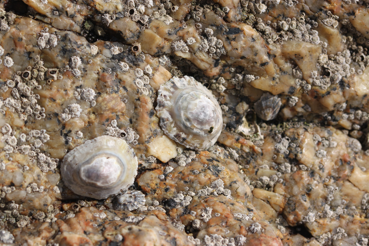
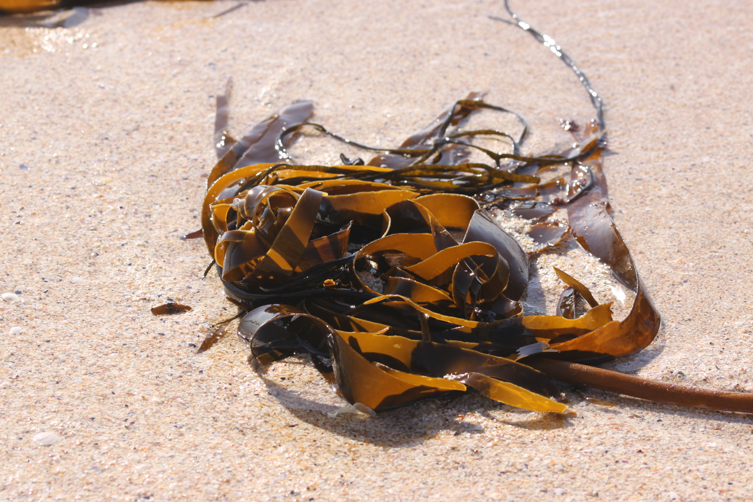
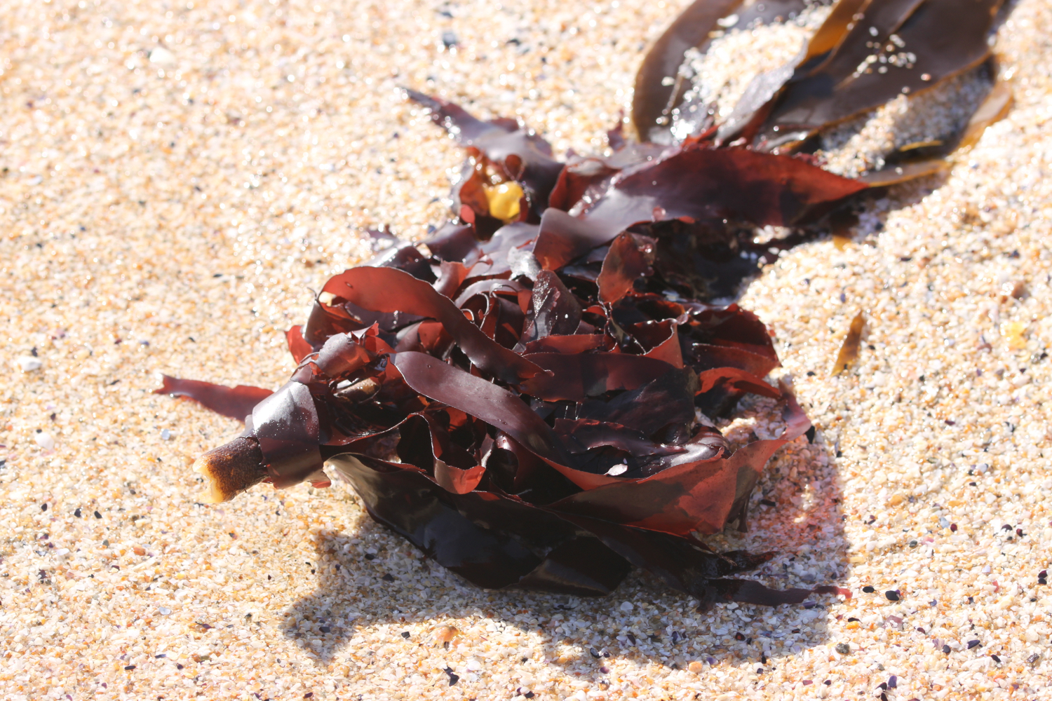
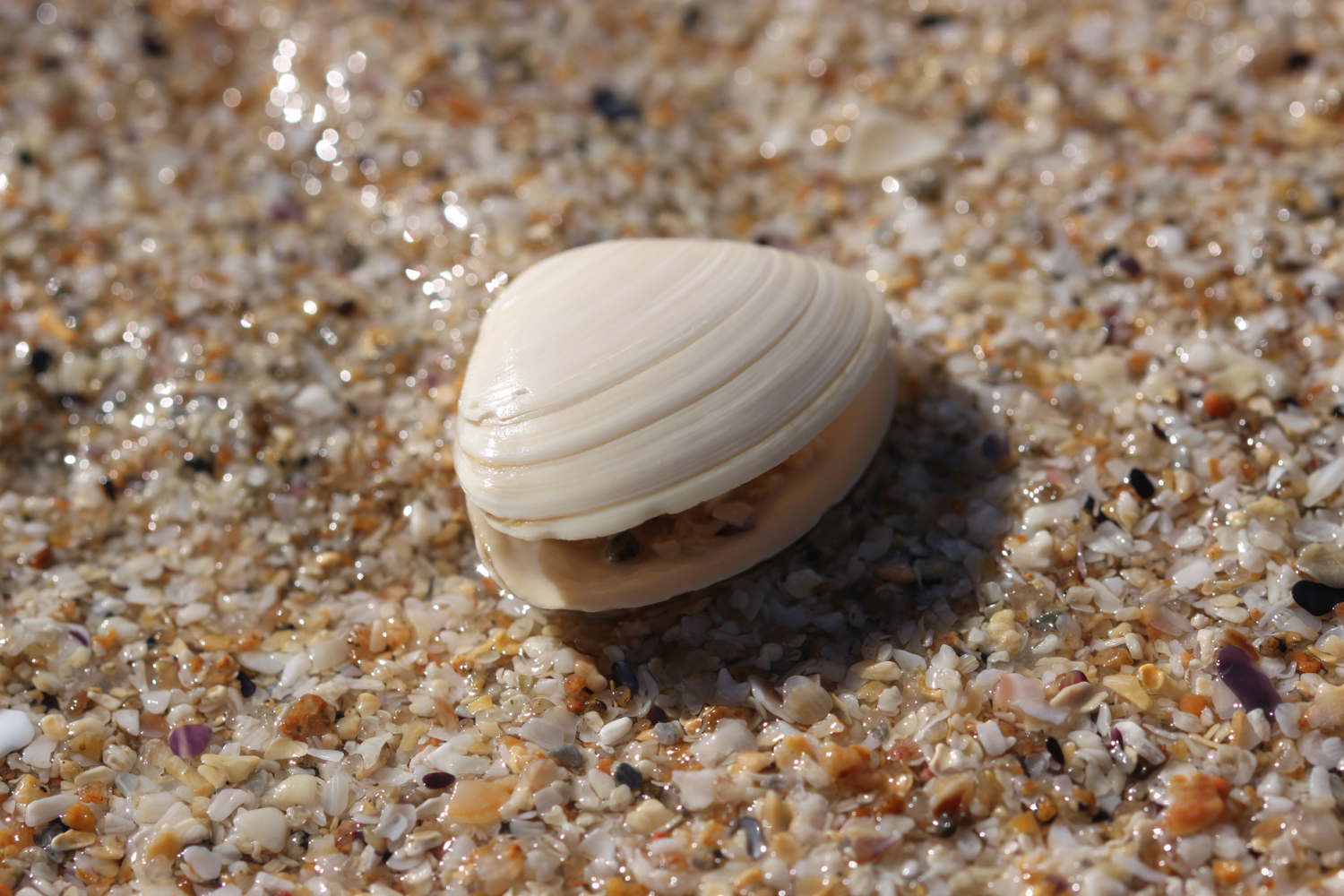


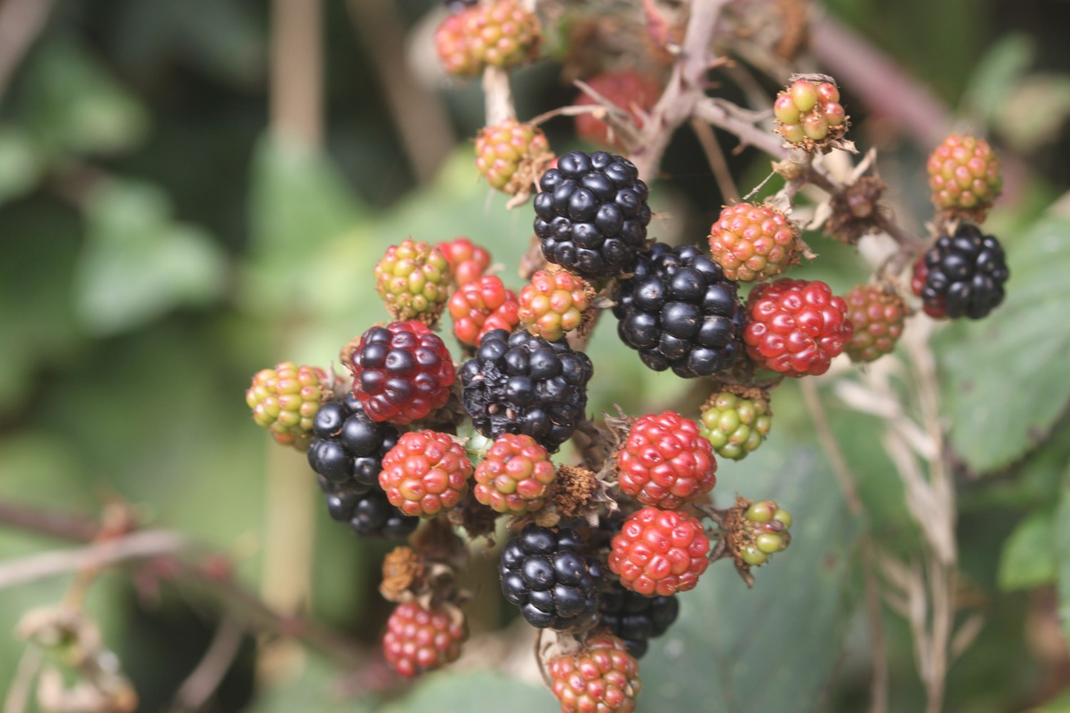
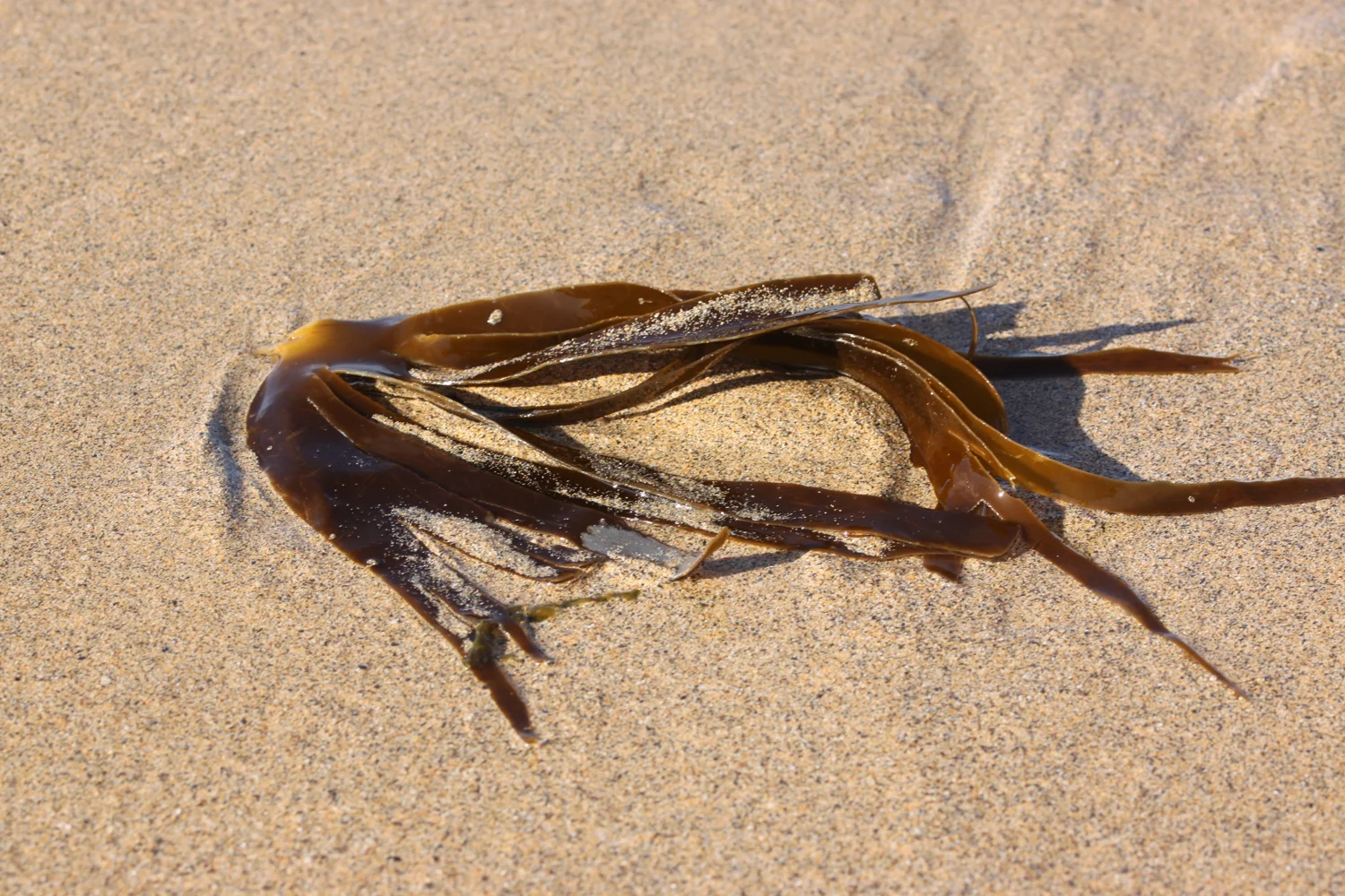
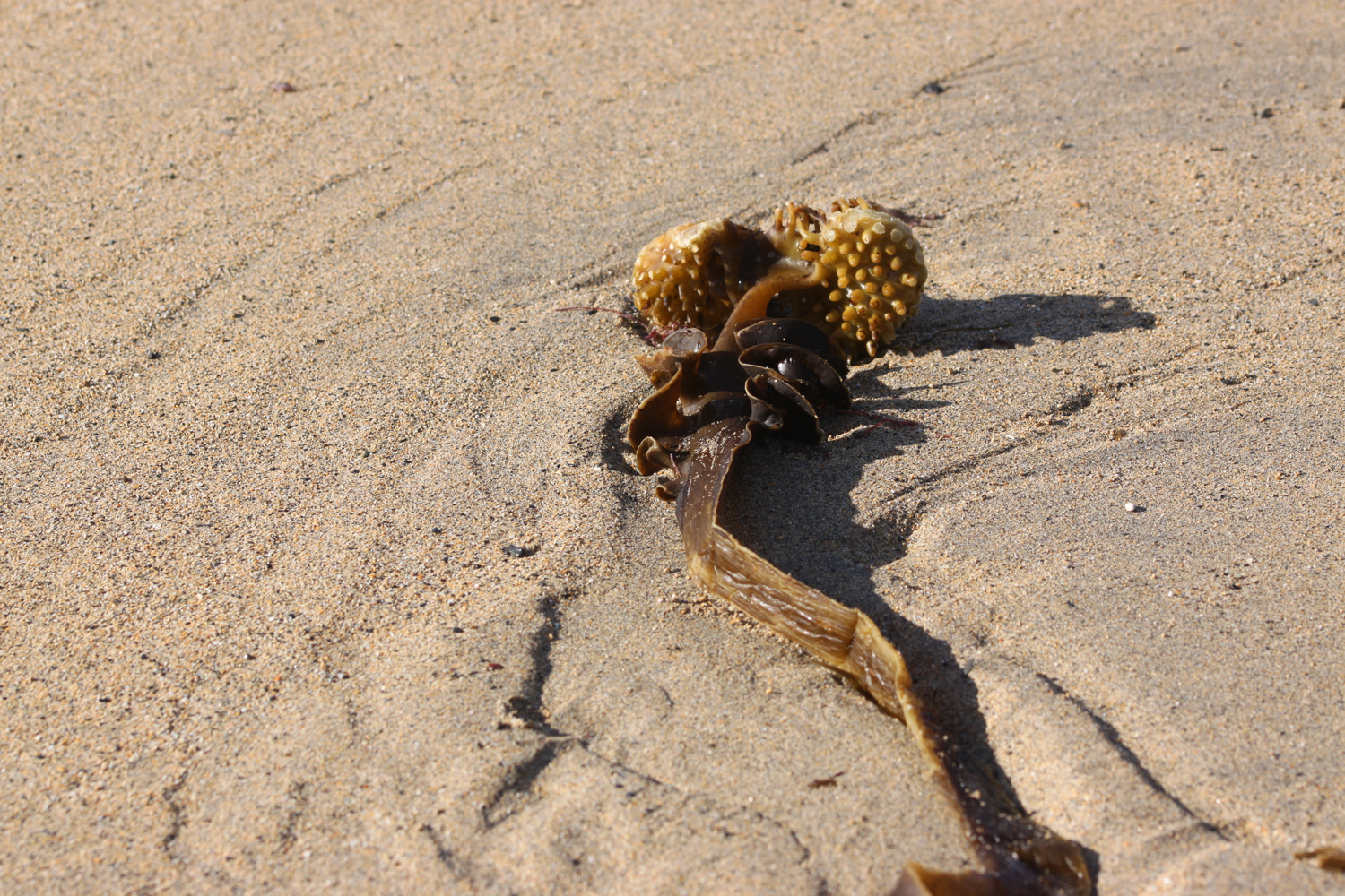
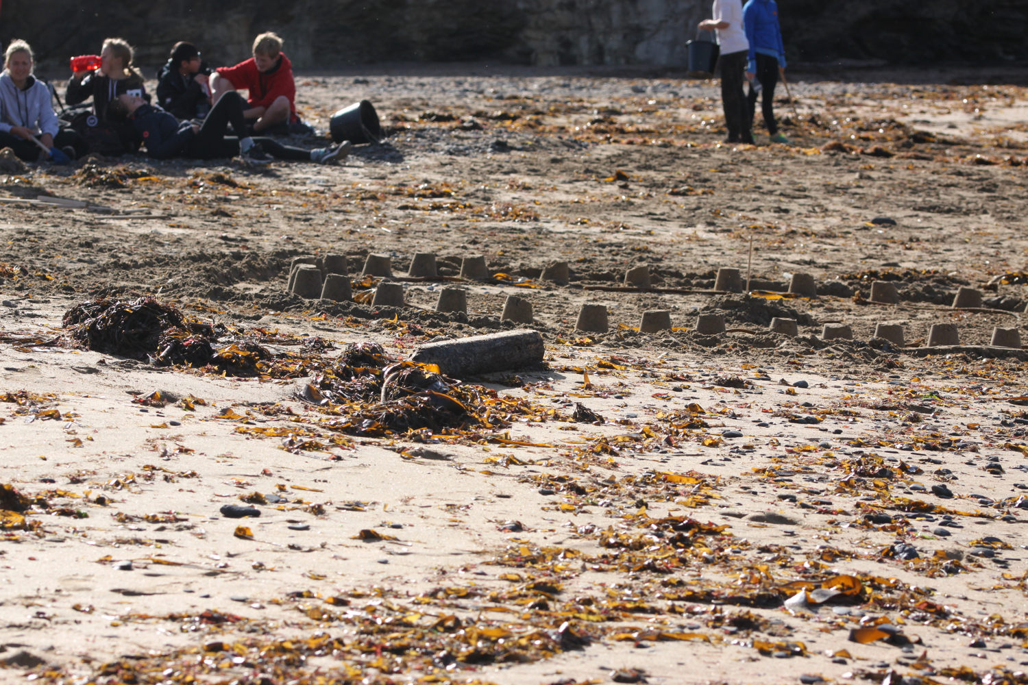
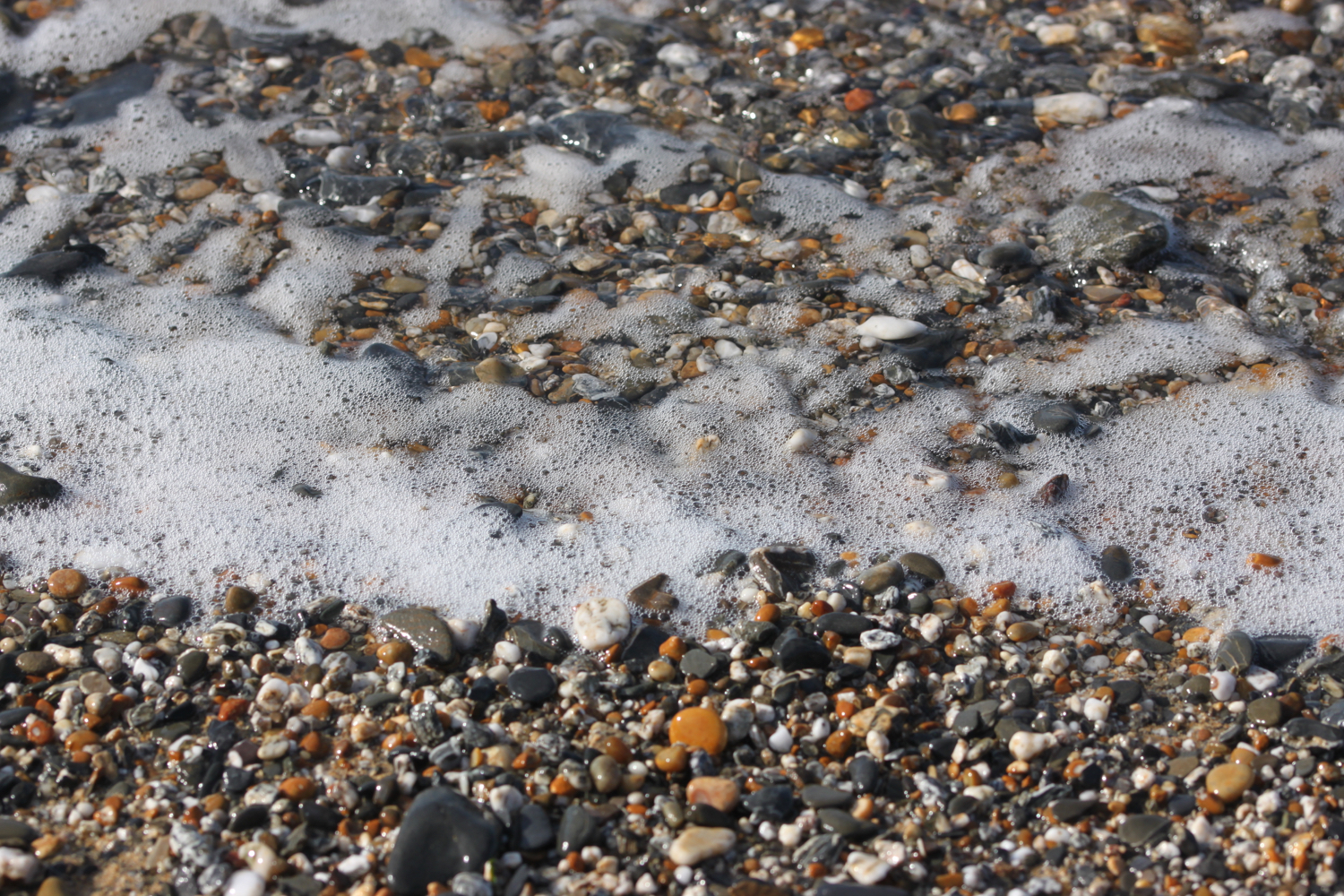
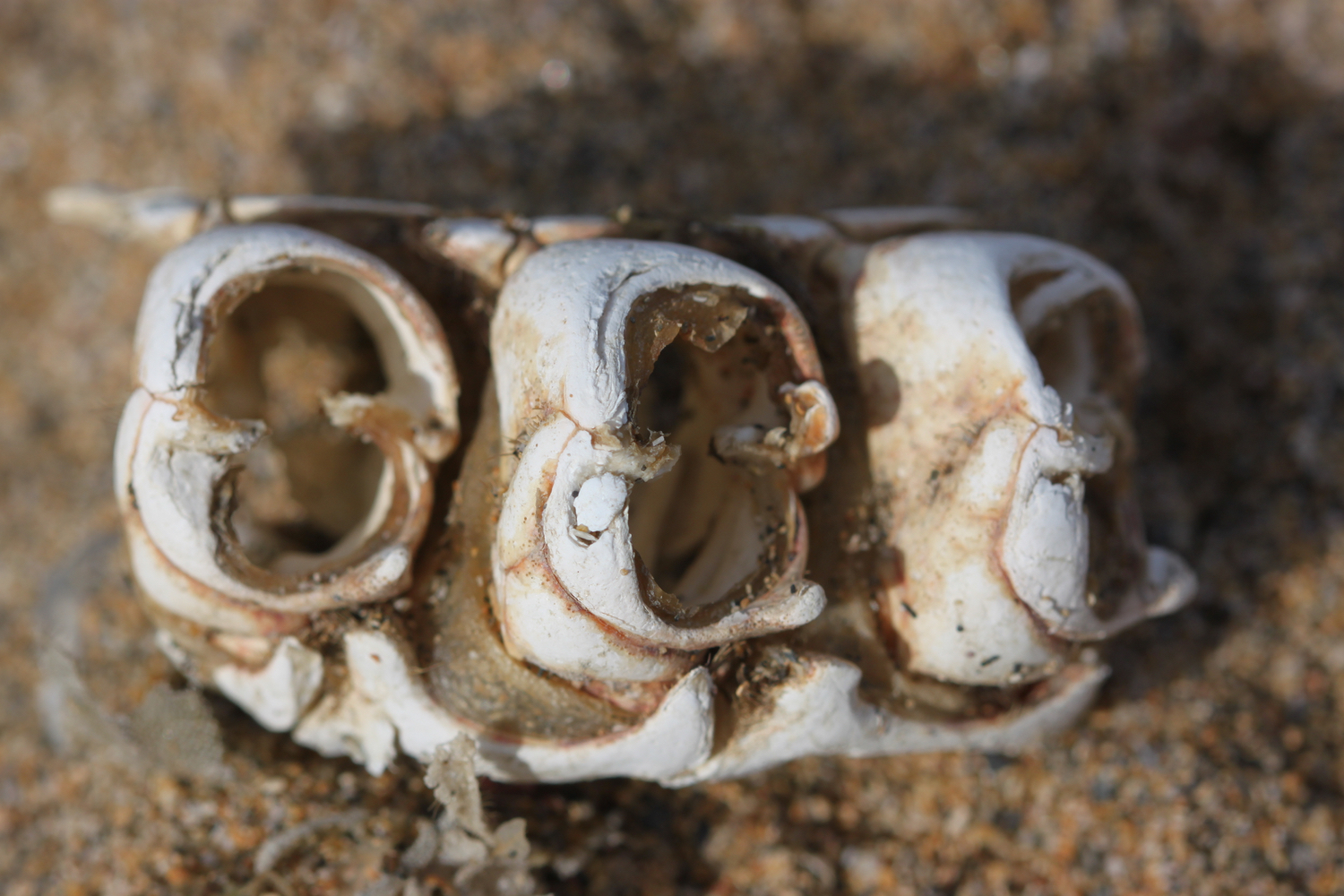
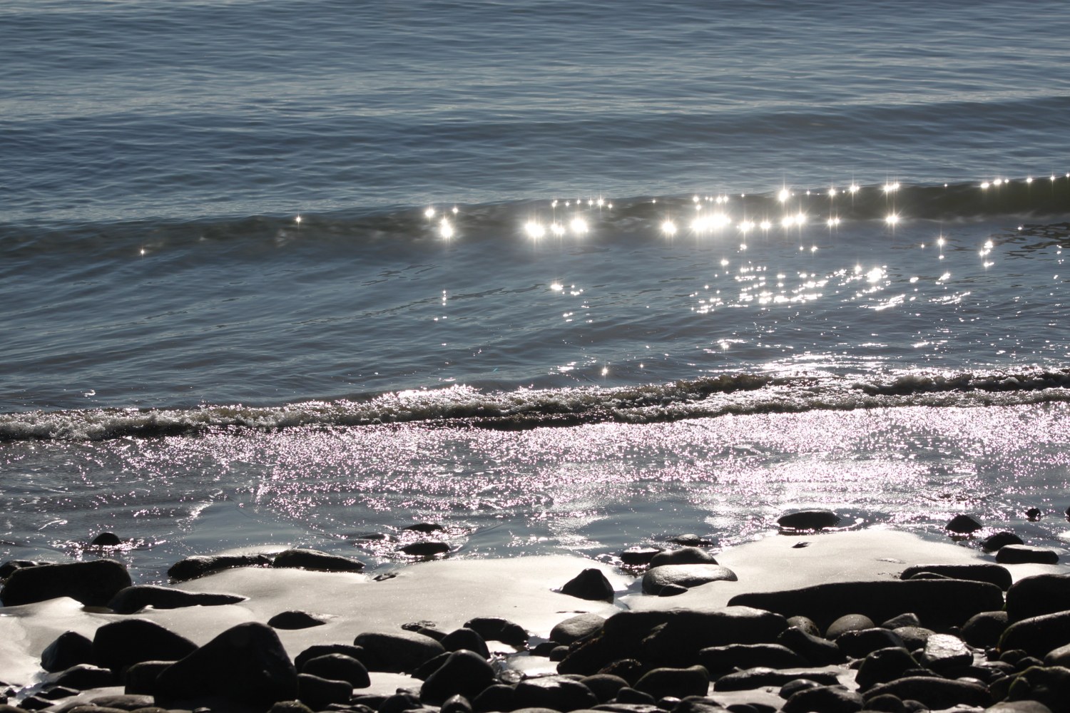
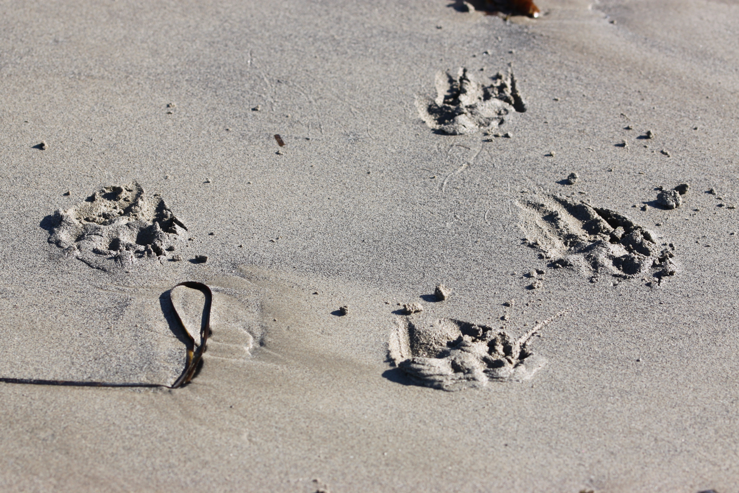
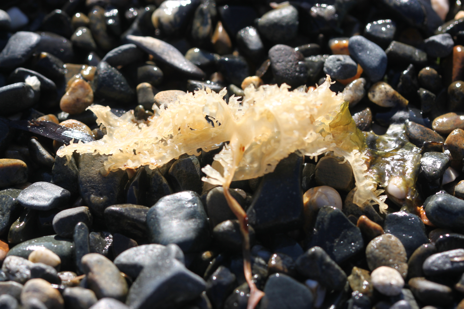
beach collection
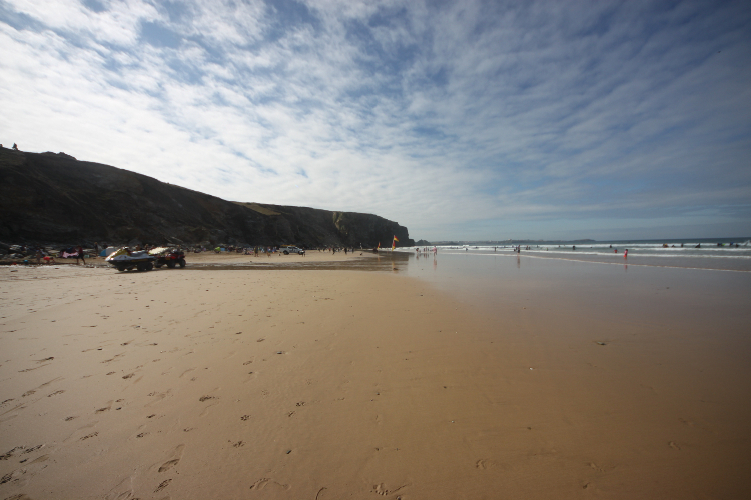
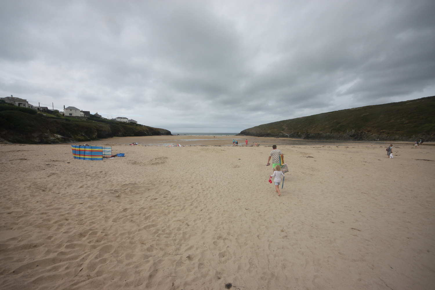
The last time I passed through Praa Sands the sand had been washed away by winter storms but normal order has been restored.
praa sands
praa sands


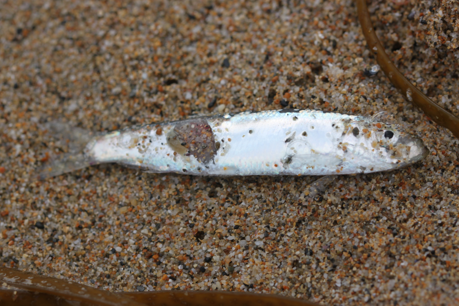
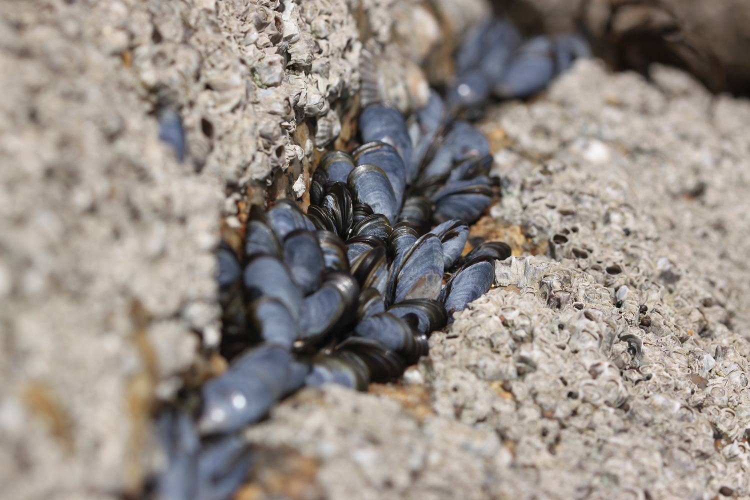
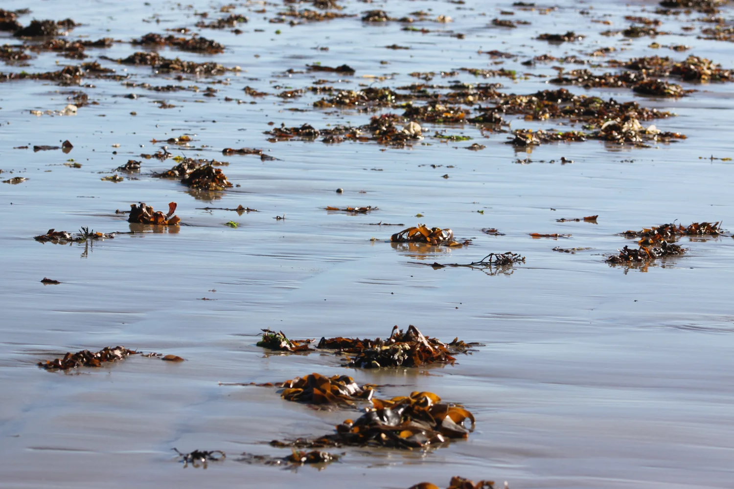
beach collection
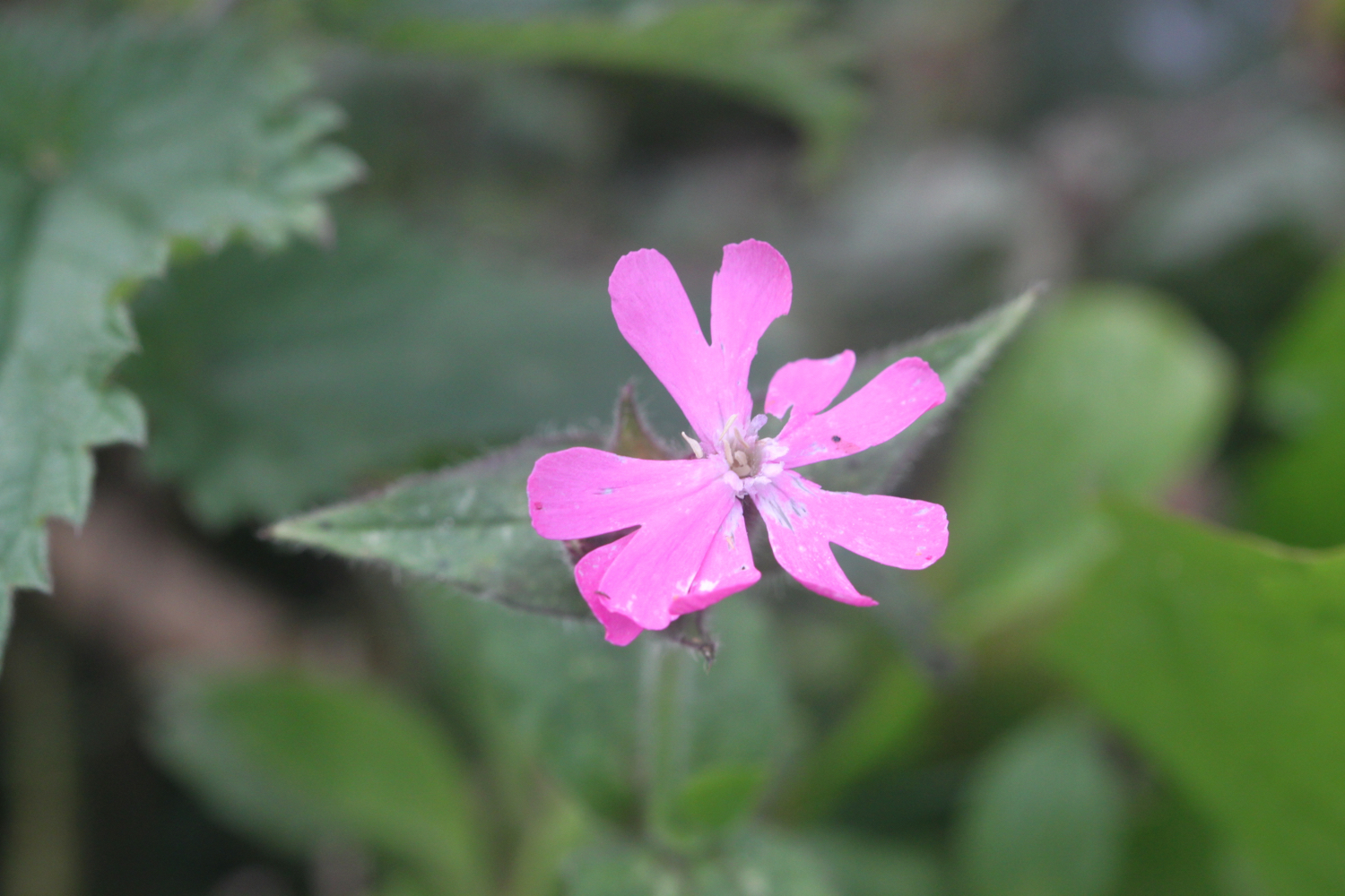
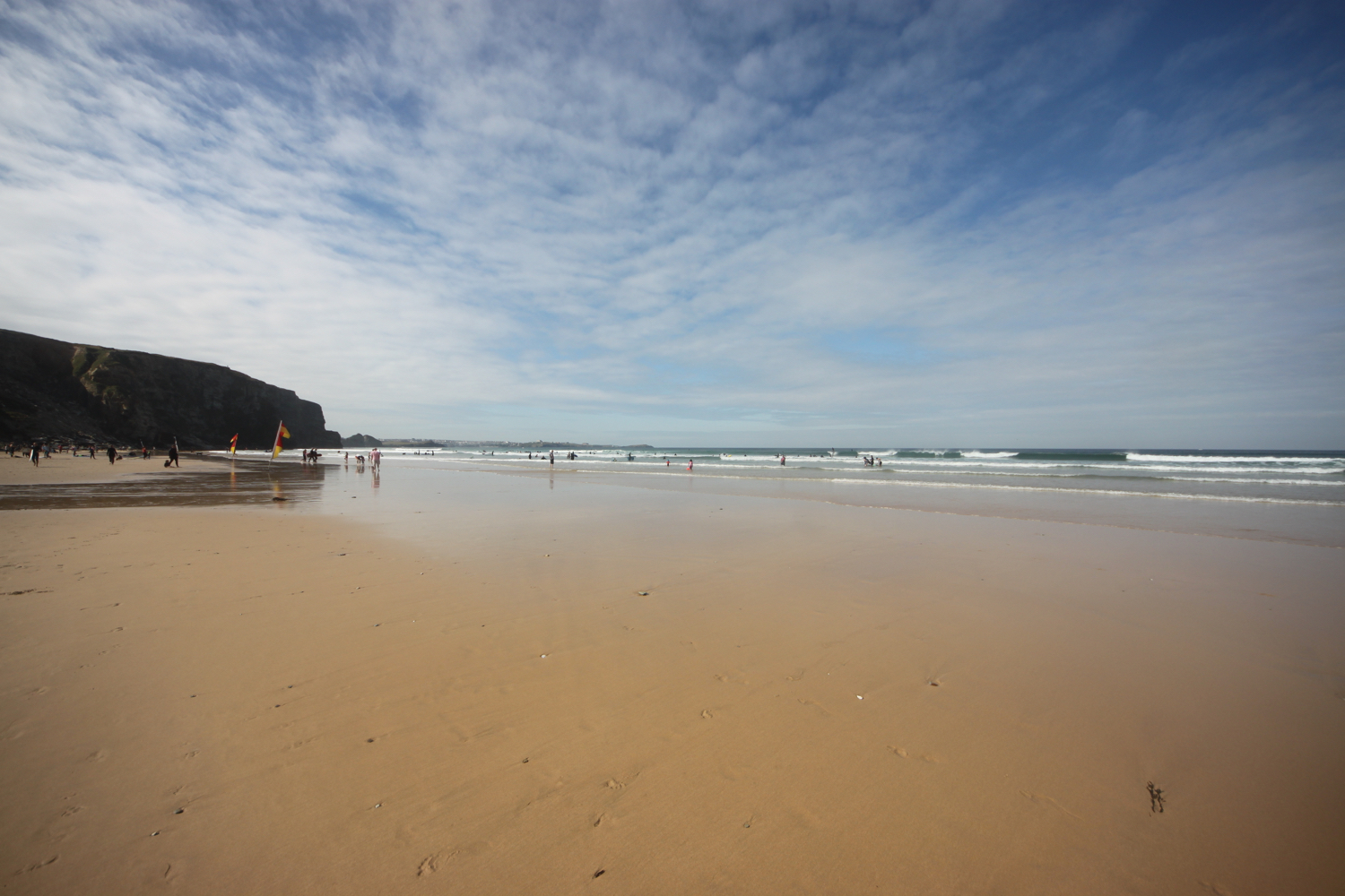
It is another beautiful morning and there are already quite a few people enjoying the beach at Poldhu.
poldhu
poldhu
poldhu


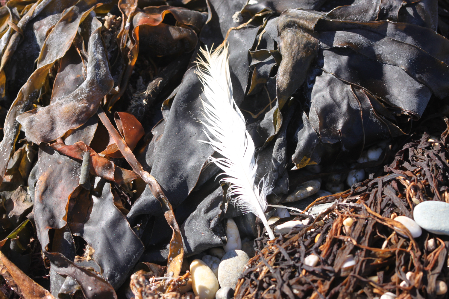
beach collection
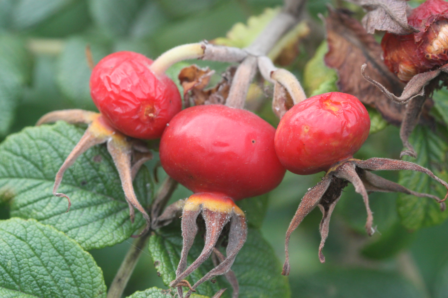
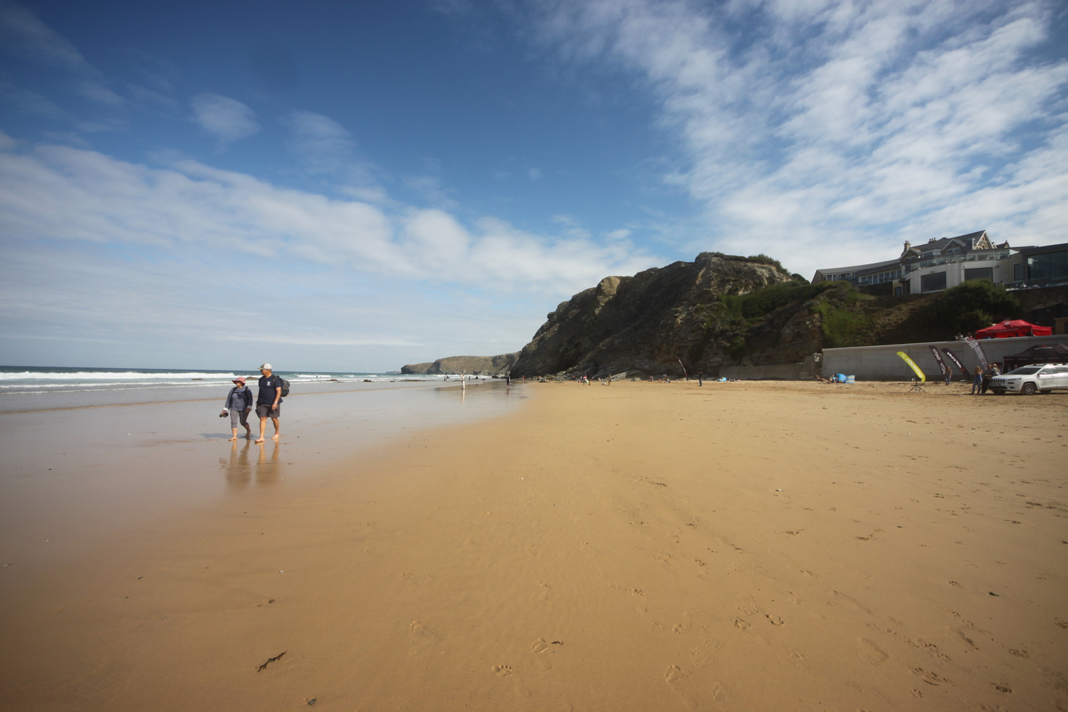
It is a short walk around from Poldhu to Church Cove.
church cove
church cove
church cove


beach collection
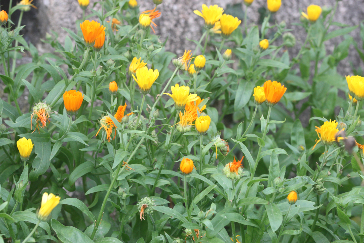
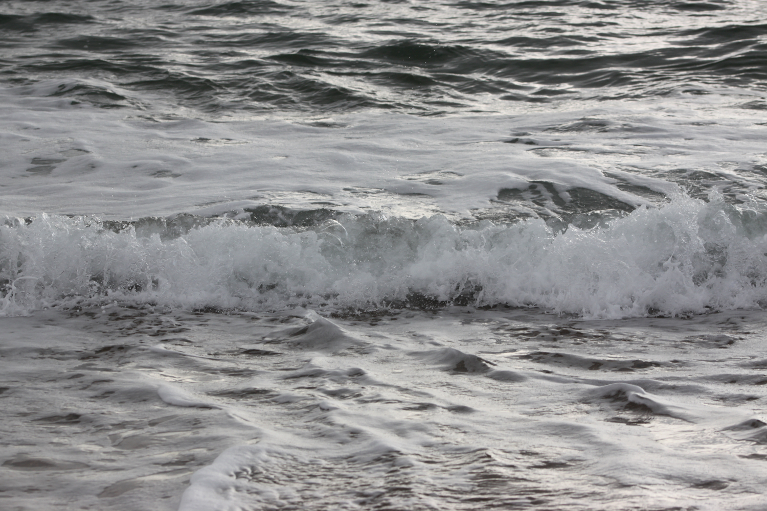
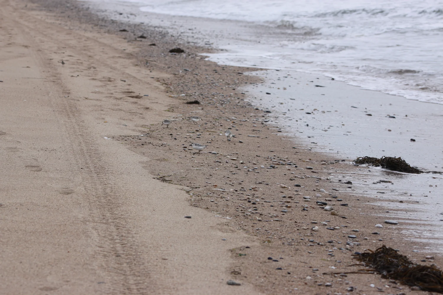
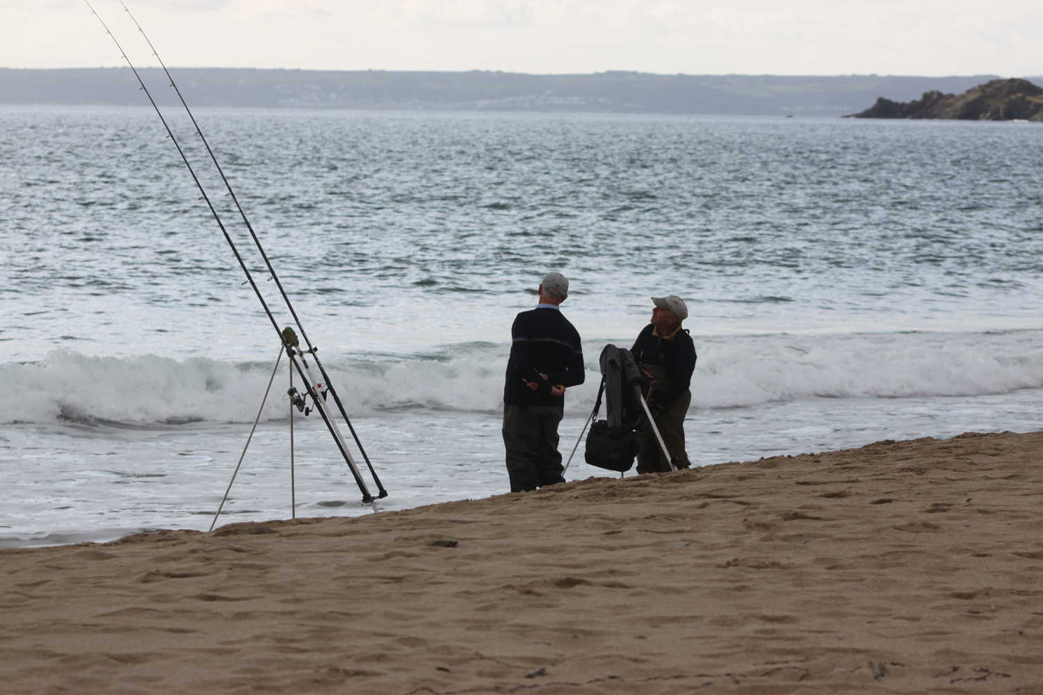
It is another beautiful morning and there’s not a cloud in the sky. I start the day at Newlyn before making my way across the beach at Penzance and then I amble across Marazion Beach.
penzance
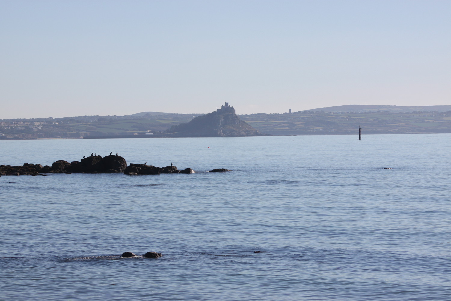

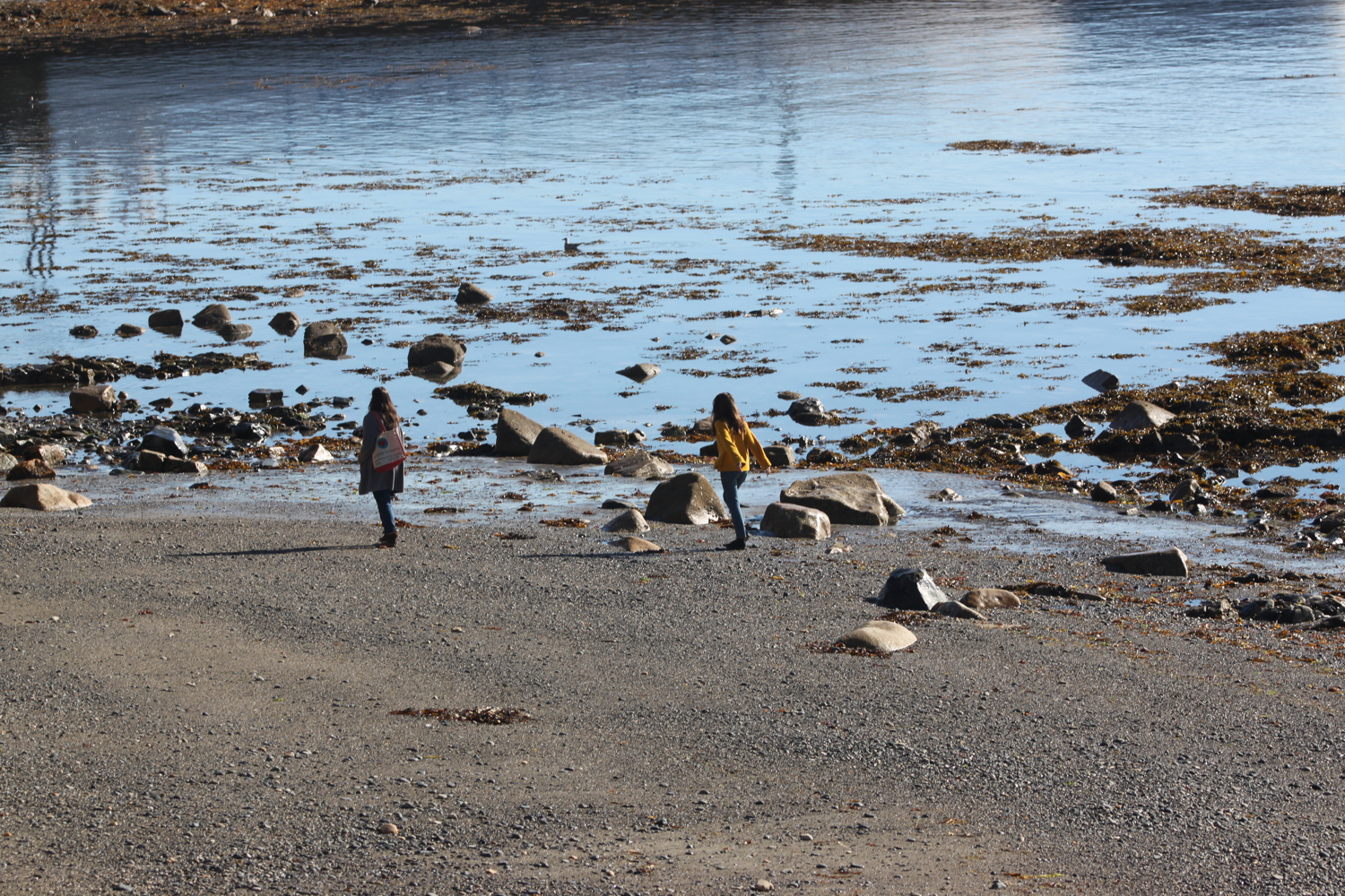
marazion


beach collection
PODCAST

The podcast of this beachcombing is now available. You can subscribe via the iTunes store or listen using the player below.